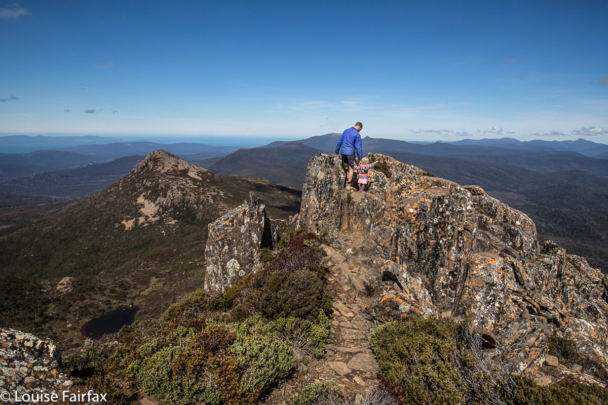
Pelverata and Slippery Falls Nov 2018
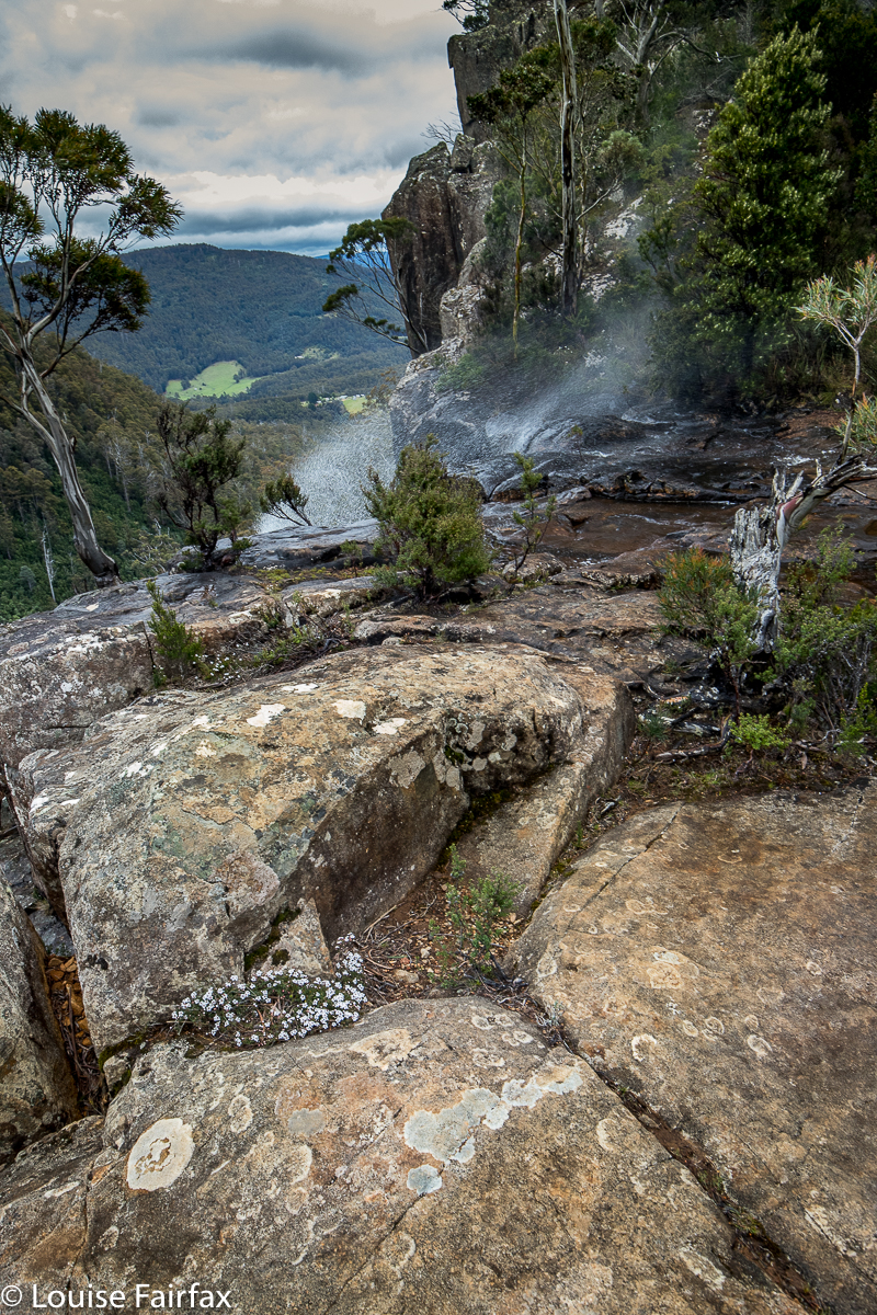
Pelverata Falls flowing uphill due to the gale
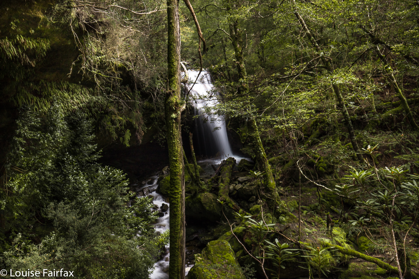
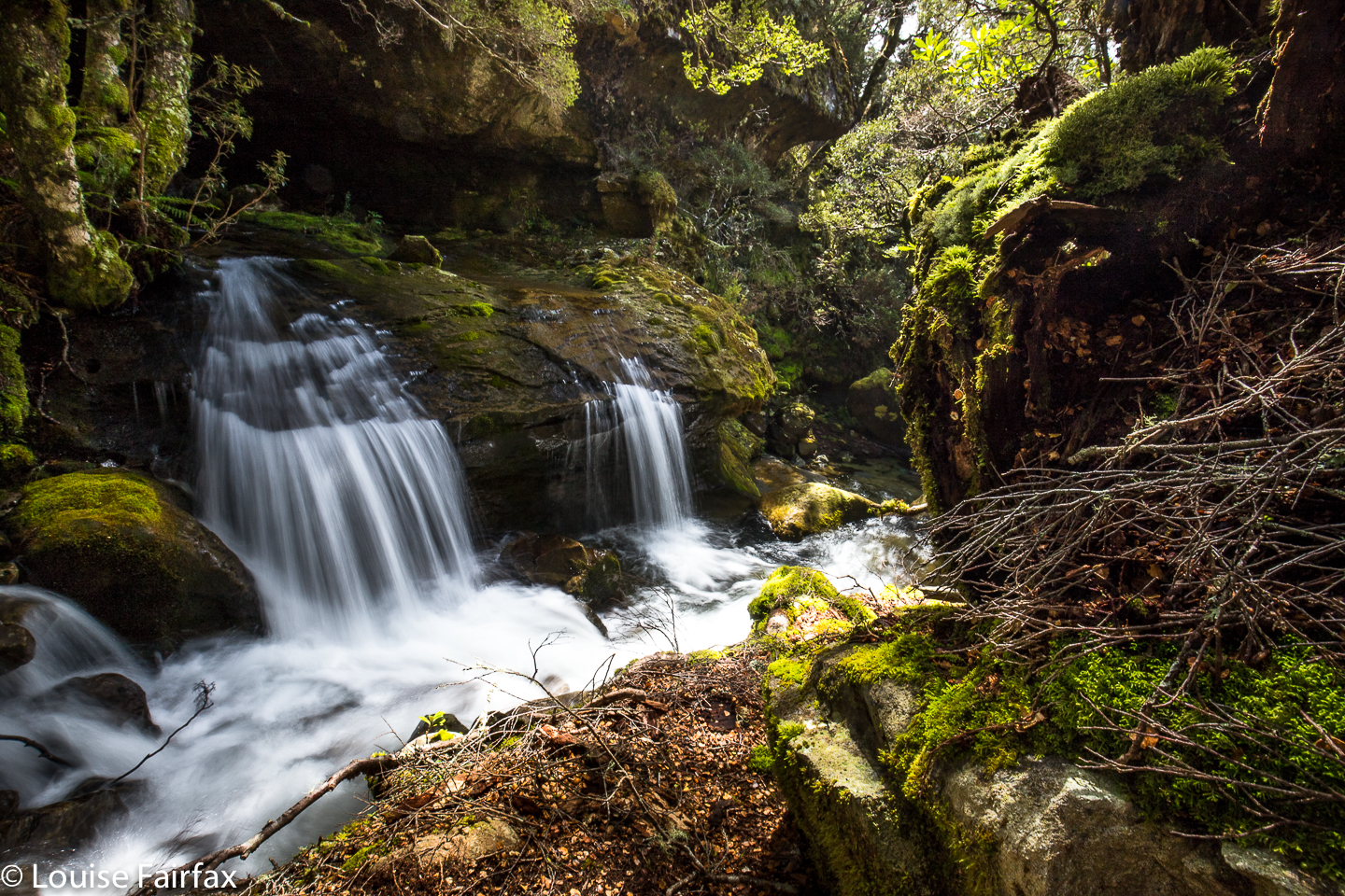
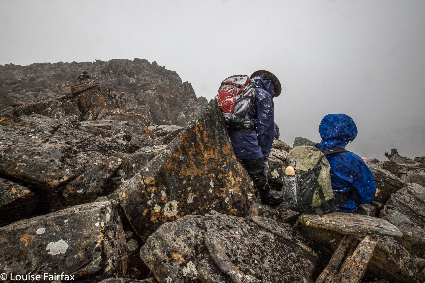
Pelverata and Slippery Falls seem to have been on my radar forever. At last, this weekend gone by, I turned the wish into reality. It was blowing a gale and snowing on the mountain I was supposed to be climbing (Ossa South), so I elected something lower instead, namely, these two waterfalls.
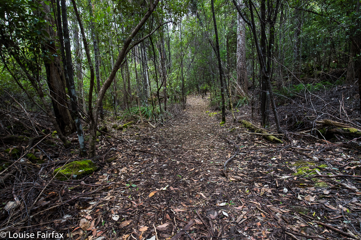 I got an early start from Launceston, picked up coffee, cakes and something mildly healthy as I passed through Hobart, and arrived at the carpark (directions below) eager to get going. I was rather disappointed that the bush seemed rather dry (I have been spoiled by the lush rainforest of most northern waterfalls), and that I could see cleared land and private property through the thin strip of trees, but marched along happily enough nonetheless. The day was grey and my mood felt a little to match. Perhaps the very early start wasn’t good for joie de vivre.
I strode out purposefully, although with great confusion, as the signs gave two completely contradictory and equally nonsensical estimates of how long all this would take (discussed later). I got from the car to the Pelverata platform, the terminus for most visitors, in 44 minutes, if you want to know a different estimate from the signs. I was carrying about 7-8kgs (5kgs camera gear, lunch, wet weather gear etc), but was walking quickly, as the track was wide and easy.
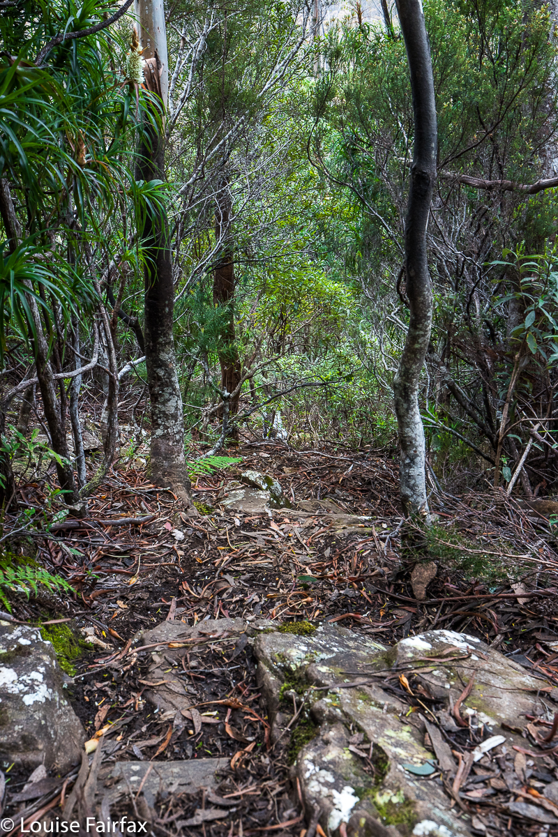
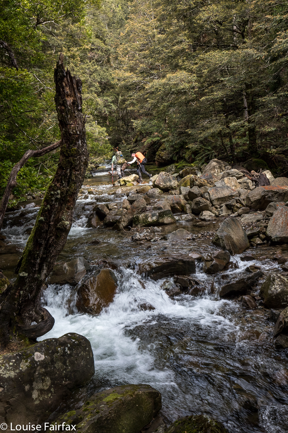
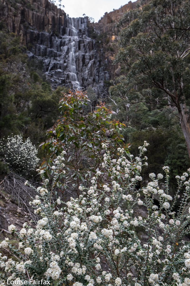 Well, that was the fast part. Photography didn’t take long, either, as the falls were boring today. I was tempted not to bother with Slippery, as I had already seen them, and the water was not flowing, but it seemed a shame to have packed my bag for so little, so I decided to go down and cross the river, and then climb a little, contour a bit, and climb some more to the base of Slippery. 45 minutes of that got me not very far. It was slow, slow work indeed, and I knew the prize at the end was minimal. I thus made the radical decision to climb the towering cliffs above to get a view from there and then turn around. Up I climbed, which was much more fun than contouring through thick scrub. Lots of the cliffs were hard to get around, and I had to backtrack quite often, but eventually I got up. From my eerie I got a good view of the falls (which were barely falling), and then climbed a bit higher, knowing I must eventually intersect with the taped pad up the top. I did.
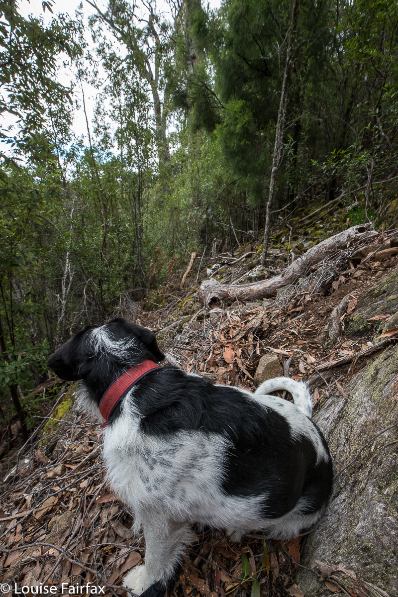
Tessie surveys our progress in a rare break in the scrub. When your dog is the most attractive thing to photograph, perhaps this is s sign of trouble.
I followed them in the direction of Pelverata, being quite finished with Slippery. It was nice to be on a pad after all that bashing, and the wildflowers up there were wonderful. The smells were even better. Pelverata Falls from the top were amazing today. The gales were not restricted to Mt Ossa South. It was wild up the top, and Pelverata was actually flowing upwards, high into the sky. In order to cross the creek, Tessa and I had to wait quite some time, even at about 20 metres behind the falls, as the spray was high and long and enormous.
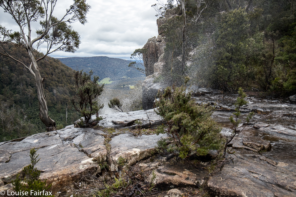 This was only a mild upwards splash. When the really drenching blasts came, we ducked for cover.
The route down the other side was very steep in quite loose rock, but well cairned, and then at last I was back on the main track. It was nice to be on the easy, smooth path. Now, in all this time, we had been alone without a hint of another person. I thought: “These falls are under-used and unappreciated.” However, on the rebound between the platform and the car, we encountered fifteen other people, and four other dogs. I was glad to be wrong. Ten cars were in the carpark. Tess and I chatted to most of the people we met, so it turned into a nice sociable outing. Tessa had fun with the other dogs, sniffing and playing. Dogs love waterfall bagging too.
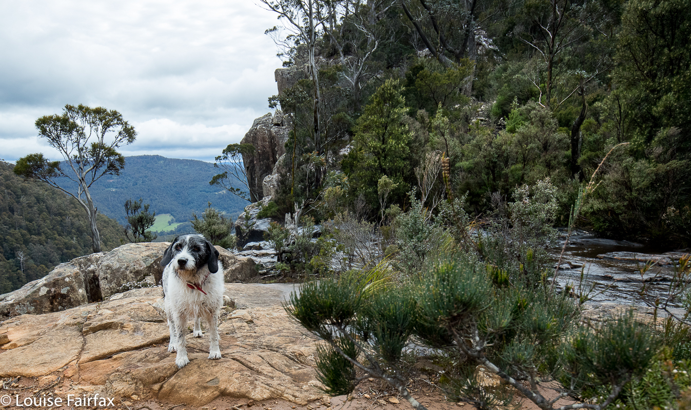
My solace and company in the bush, darling Tessa.
Just a word on the signs before I sign out: the official signs to these falls gave me a great deal of confusion, and I remained uncertain about what was happening and what to expect the whole way there. How long would this expedition last? At least I had enough food for the long haul, should it be necessary. The confusion begins in the carpark. The sign says “Pelverata Falls 3 hours”. One way or two? Top or bottom? Blank. Oh well, I guessed I’d find out. I didn’t actually. After nineteen minutes, I came to a sign that said “Pelverata Falls 3 hours return”. Now, this was worse. If the first sign meant “3 hrs return”, then I had just taken nineteen minutes to do absolutely nothing, which is abominably slow and very sad. If, however, the first one meant 3 hrs one way. i.e. 6 hrs return, then I had taken 19 minutes to do 1 hr 30’s walking, which is ludicrous. Obviously, one of these signs is absurd. My advice to local council is to allow the first sign a kind of worst case scenario status, put in the word “return” so people have a clue what you’re talking about, and remove the second sign. The problem with signs like that is that people can be put off doing the walk, as they form false expectations of the time needed for the task, and that is a shame. Even on a horrid, blustery day like today, the falls make an excellent outing and a different destination for people who want a walk in nature. Everyone we met was very happy to be there.
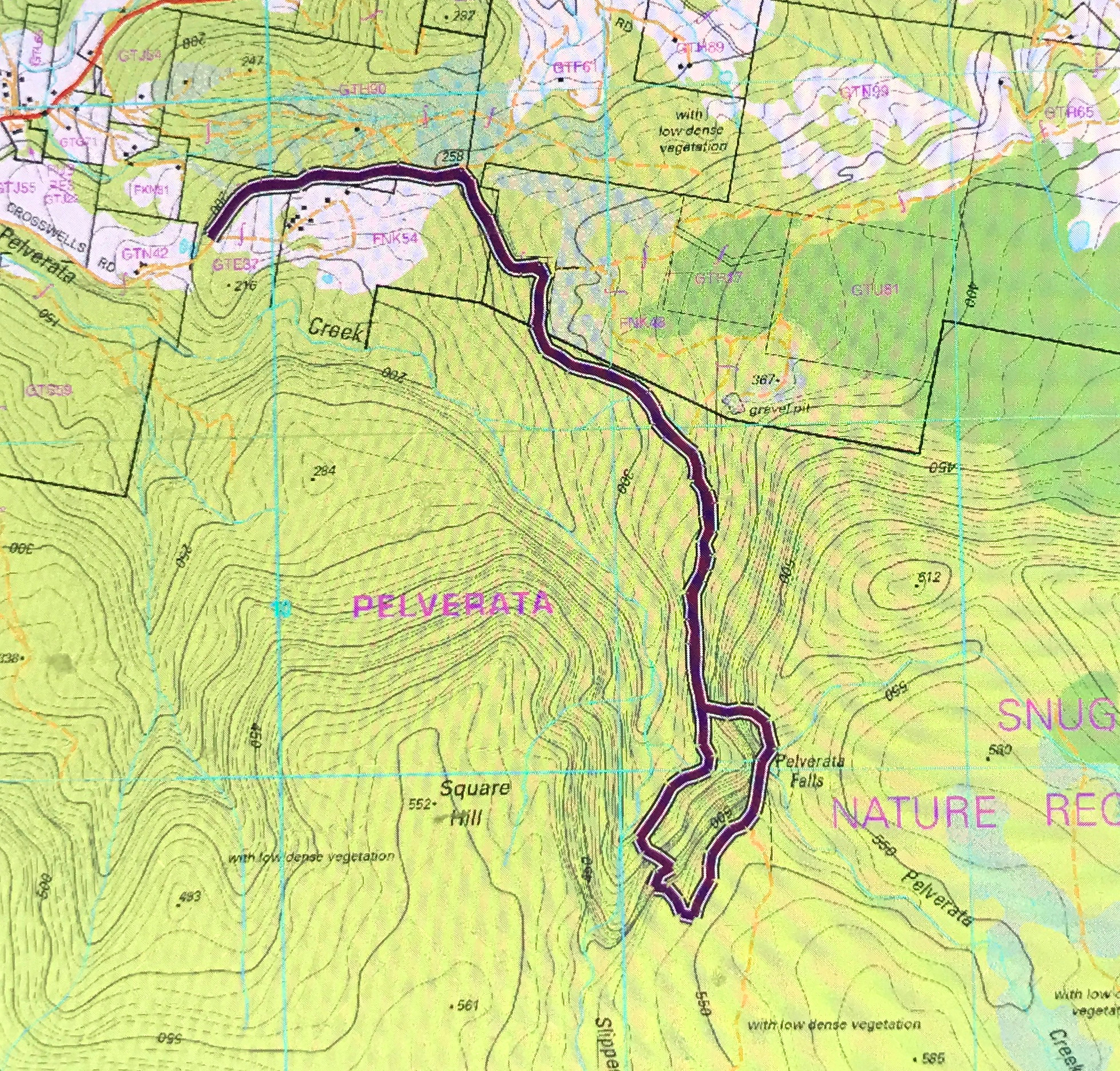
This is my (anti-clockwise) circuit – but, given the amount of rather serious bushbashing involved, I would not recommend it as a fun way to pass the time of day – but at least it’s a circuit, which I find more fun than an out and back route.
Directions from Hobart: I headed for Huonville, having taken the southern outlet. At about 10kms past that big Kingston roundabout (still heading for Huonville), I came to a hamlet called Sandfly. Here, one turns left on the C622 for Margate, and immediately right (well, after 150 ms) on the road to Pelverata. There, turn left at Crosswells Rd to the falls. There is even a blue sign here that says you are going there, and another sign that alerts you to the presence of the carpark, such as it is. Welcome. Have fun.

 As my heavy camera equipment was bulging my backpack, I had to walk briskly rather than run. And because I didn’t take all that long to reach the top (1 hr 07 from the carpark to the base of the rock, via Betts Track; 18 more minutes from there to the top, i.e., 1 hr 25 from carpark to top), I added on a return journey to the Mountain River end of the track, which made an excellent diversion, and turned it into a three and three quarter hour ramble. I loved the flat, broad valley after Betts Head, although I didn’t like the way that the Melaleucas were taller than I was, so I walked for quite some time in a tunnel with no view and close walls.