Frazer Falls 2018 Oct
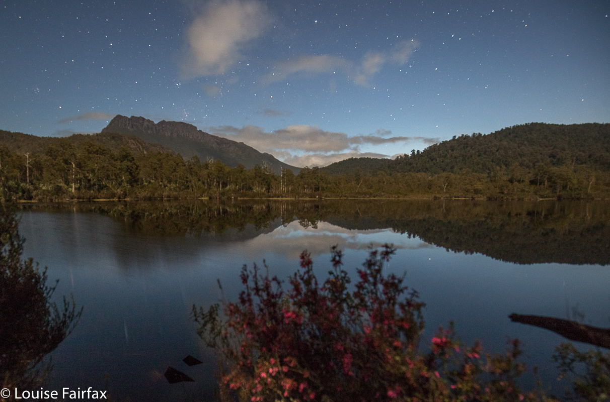
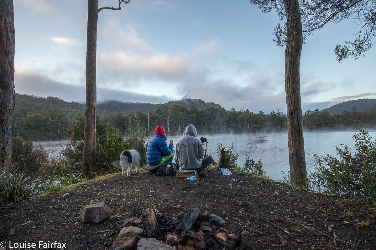
 I had always wanted to return one day to visit the base of Frazer Falls, having climbed already to the top, and now, this weekend, my chance came, as Carrie and I planned to be over in the western half of the state bagging something or other. I chose Frazer Falls as that something. The day before, I had had a big waterfall bagging spree before seeing Carrie for lunch at Guide Falls (see the blog titled Upper Preston” URL below), and then the two of us had been to the base of Stitt, a huge fun adventure, before setting up our tents at lake Rosebery, ready for the onslaught of Frazer Falls on the Sunday.
 It is quite a long walk in, along a wide, flat path with lush greenery to the sides, and enormous drops to the right, and massive, almost cliffs to the left, so we strode happily along, not even stopping at Montezuma as we passed it by – although we couldn’t help noticing it was flowing very nicely today thanks very much. We’d pop in on our way back. Tessie found the swing bridge very challenging. I was walking behind her, and I could see she was shaking all over with terror. She’s too heavy to carry. I feared this was it, but no. We changed positions so that I was in front, and this brave little girl followed behind me. Carrie waited until she was across so as not to swing the bridge more than was necessary, and soon enough we were a trio on the other side. Other dog owners could not even carry their dogs across, as they whimpered too much, they told us later. It is a truly whopping drop for anyone with depth perception.
My memory said it was a bit over twenty minutes to our turn off up the spur beyond Frazer Creek, so there was still some more striding to do, which was a bit unfortunate, as I had wet socks from the day before, and striding was giving me a bit of a blister. Things would greatly improve once we started climbing.
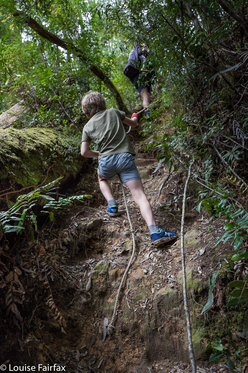
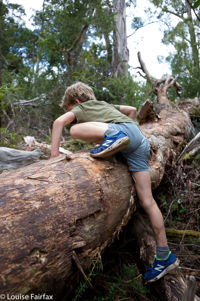
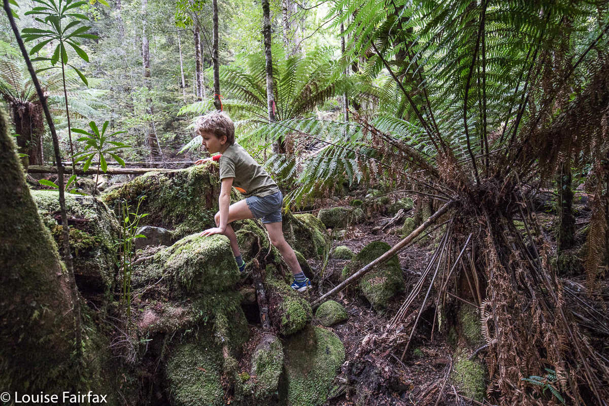
 The climb is a very in-your-face affair, with all four limbs being necessary to haul yourself up the slope. The forest, however, is quite open, the scenery beautiful, and, well, I love a good climb, and this was no exception. The part I didn’t like was where felling has been done that lets the light in, and there, scrub has grown up and the pad is very indistinct. There are two short sections of this ilk, but they’re pretty quickly dispensed with if you keep your line. We finished the climb in thirty minutes flat (having taken fifty four minutes to Montezuma, and twenty three to the start of the climb where we left the track).
 Now, this next bit was, for me, the challenging part, as I had been here once before, and not found a pad down. But then, I had been in a hurry. I have made several attempts since to find out if one crosses over Frazer Creek in order to descend, but nobody would tell me. I asked, do we descend west or east of the creek, and no one would answer me. So, I tell YOU, lucky people, you do not cross the creek. Look for a pad on that western side of the creek. There is a stake, and when I was there before, I found nothing more. This time, more stakes have been put out, and if you climb under a log, you see the next one, and after that, everything is very clear … and very, very steep. Carrie thought it was the scariest of all our descents so far, and we’ve done a few pretty hairy ones. Tessie thought it was OK, having struggled more when ropes are necessary to get up sheer rock. The drop was monstrous, but it only took us nine minutes both down and up to do this section.
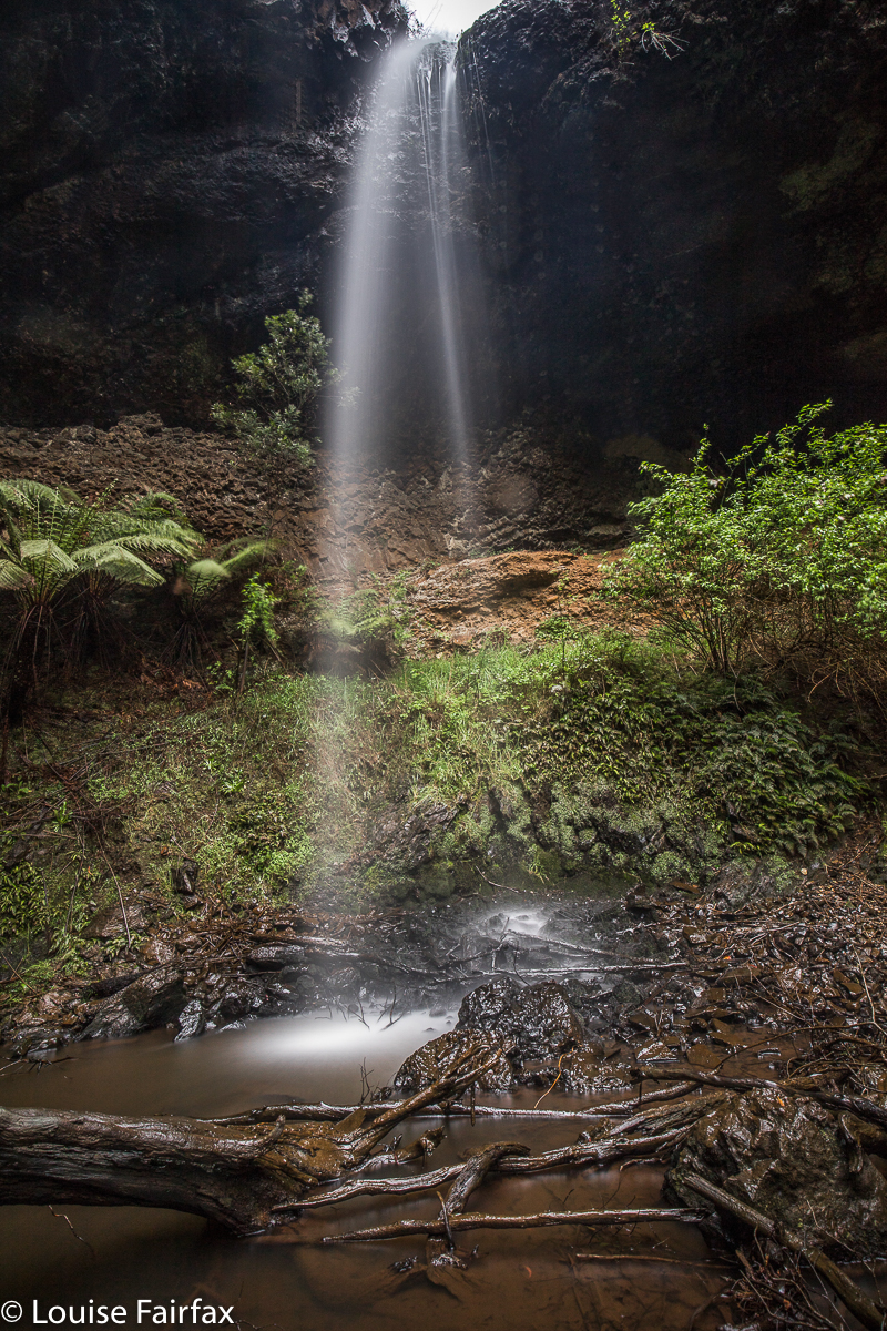
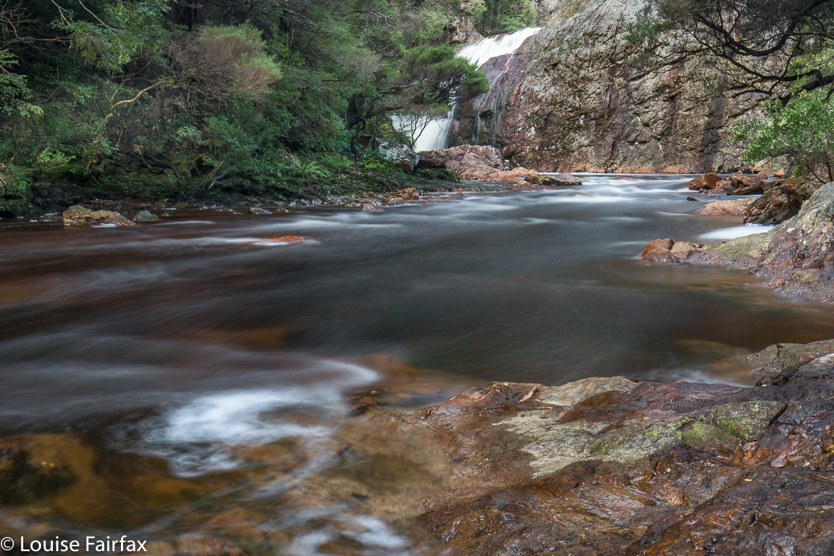
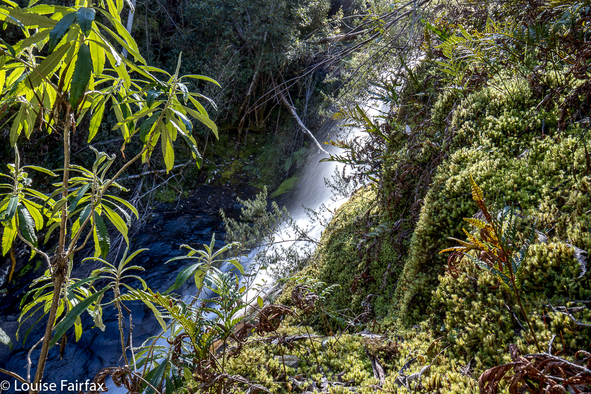
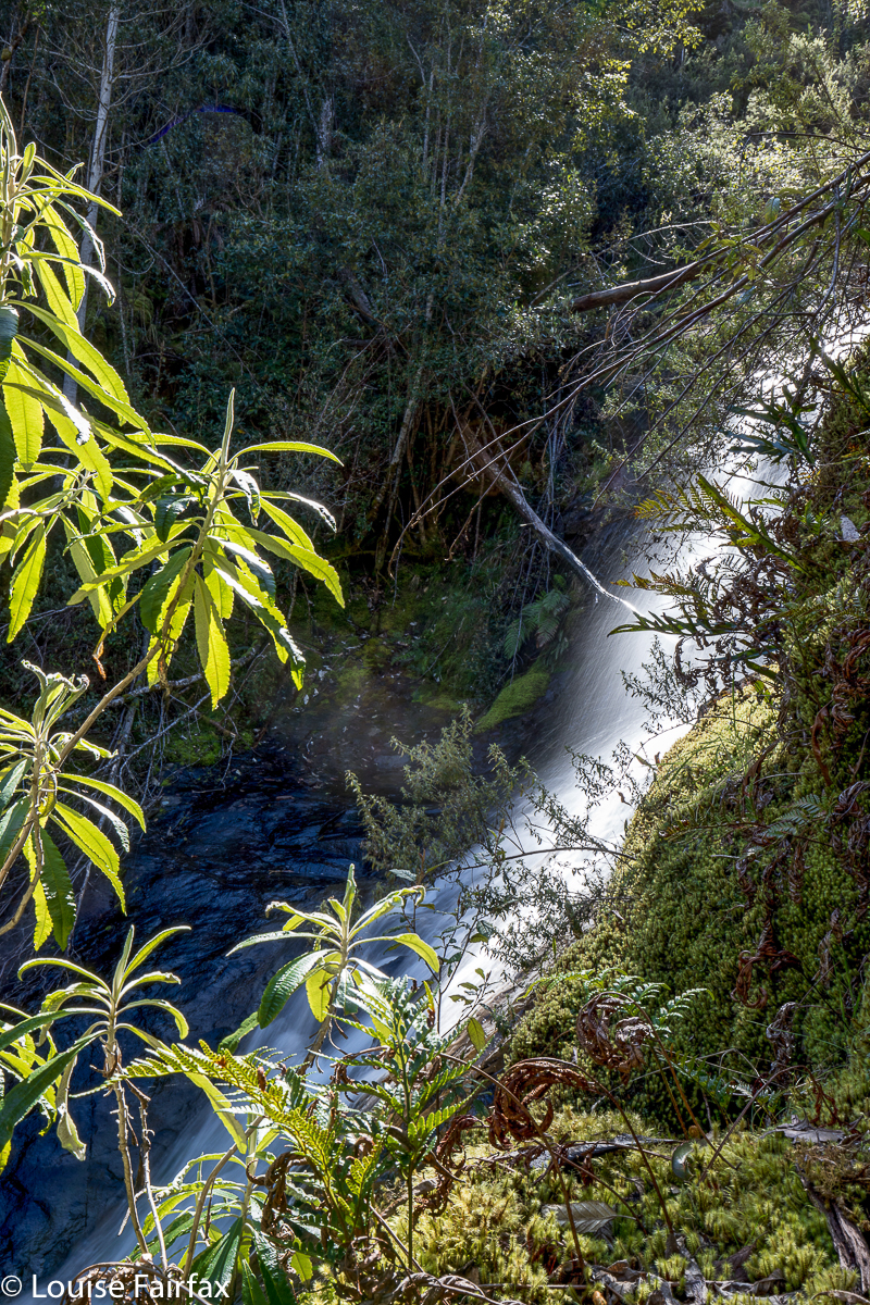
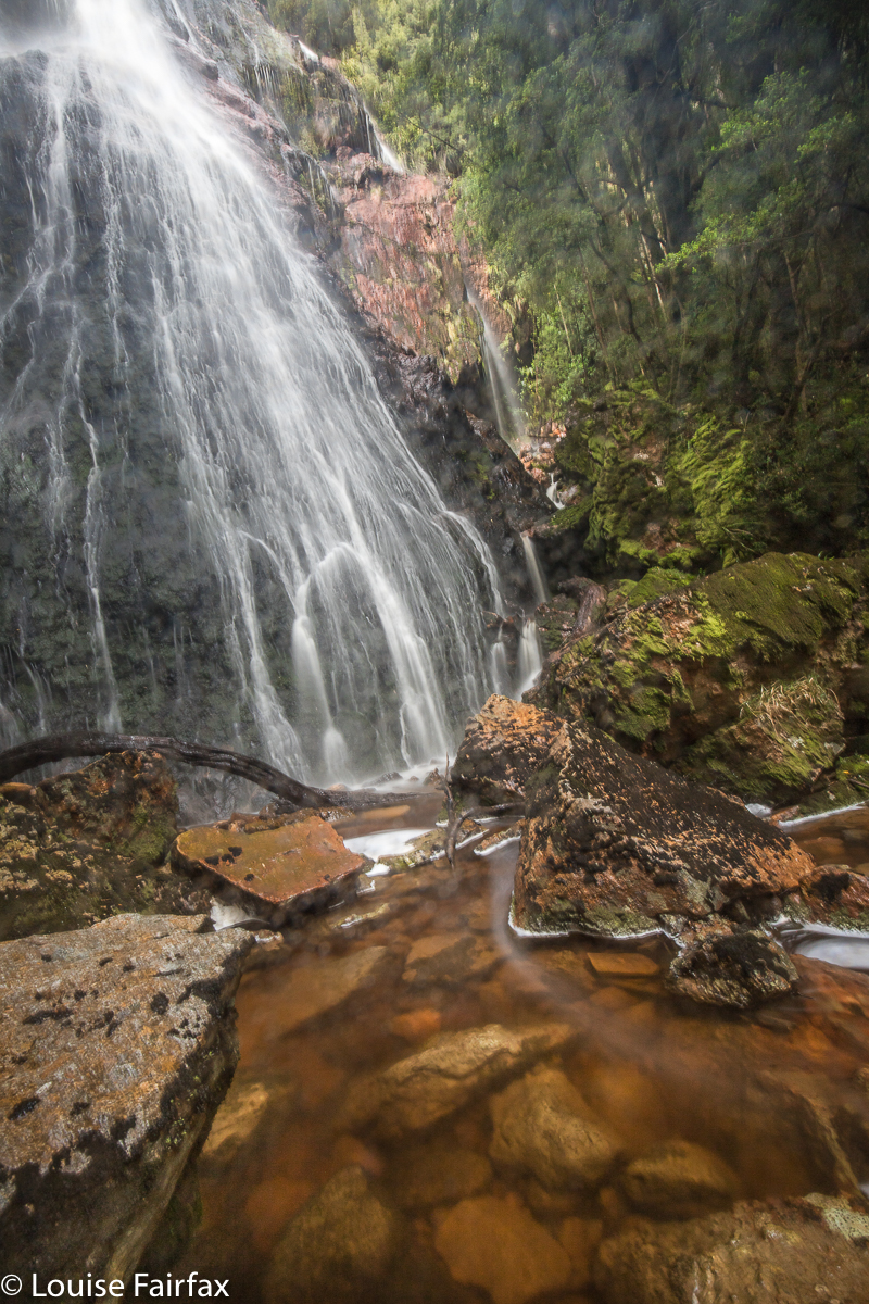
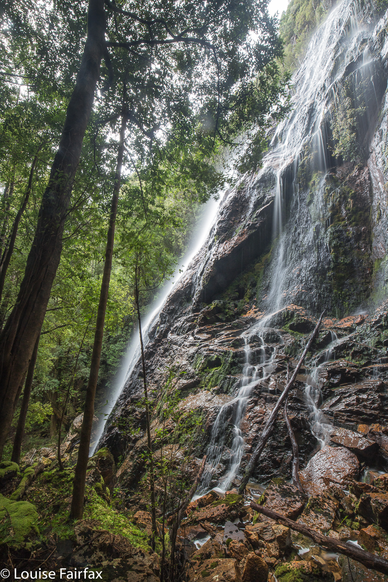
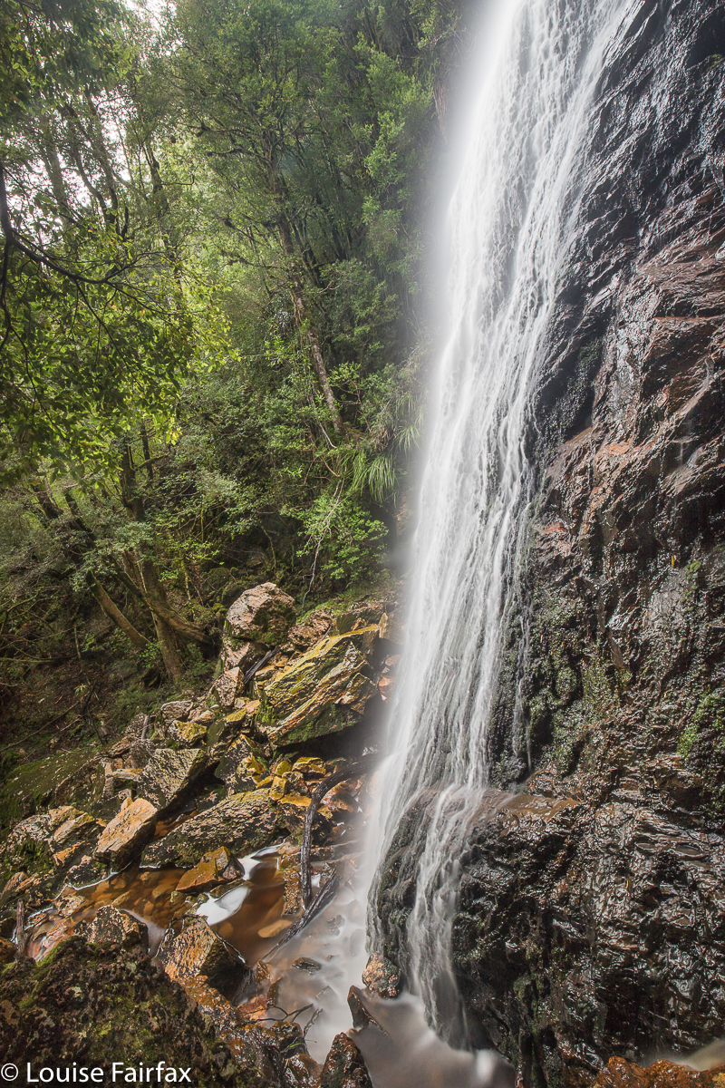
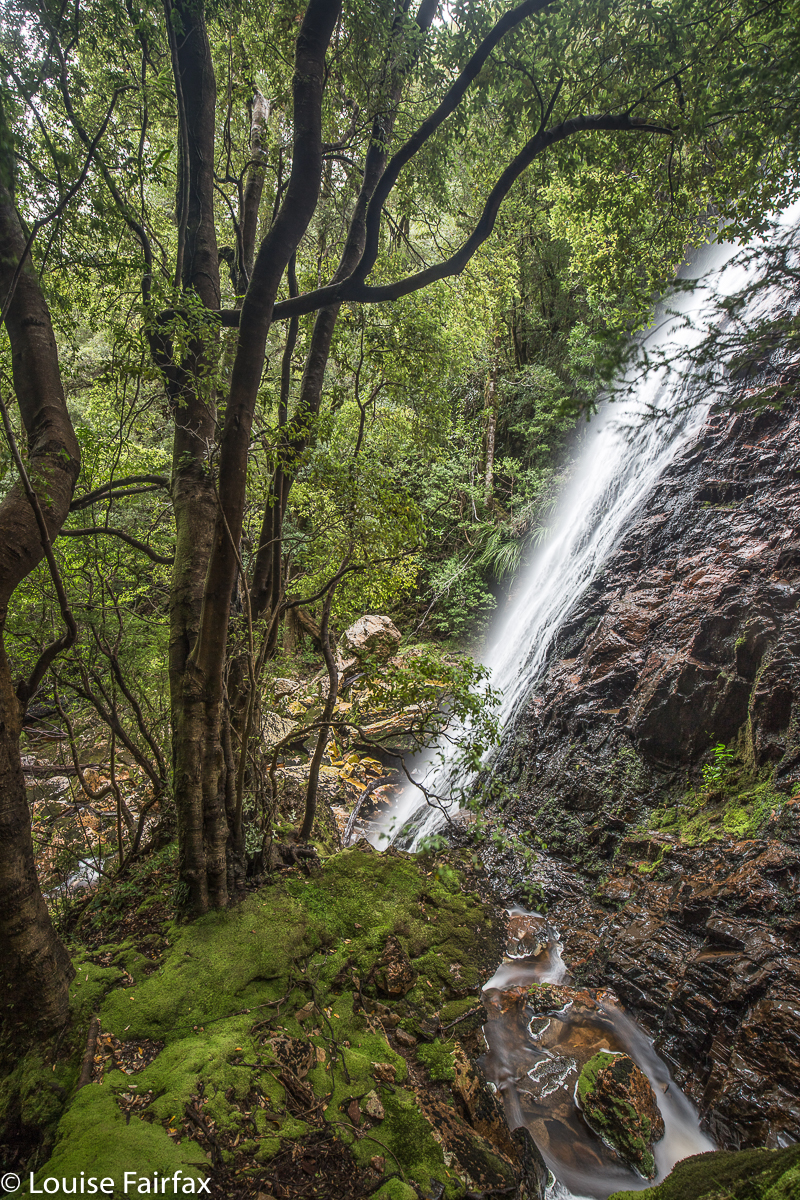
And, what joy lay in store for us at the base. We had no other plans for this day, so took our time photographing from this or that position, while Tessa stood guard over us, perched like a sentinel on a rock. She knows not to interfere with photography. I am a bit insulted that she always seems to guard Carrie more than she does me. Such is life.
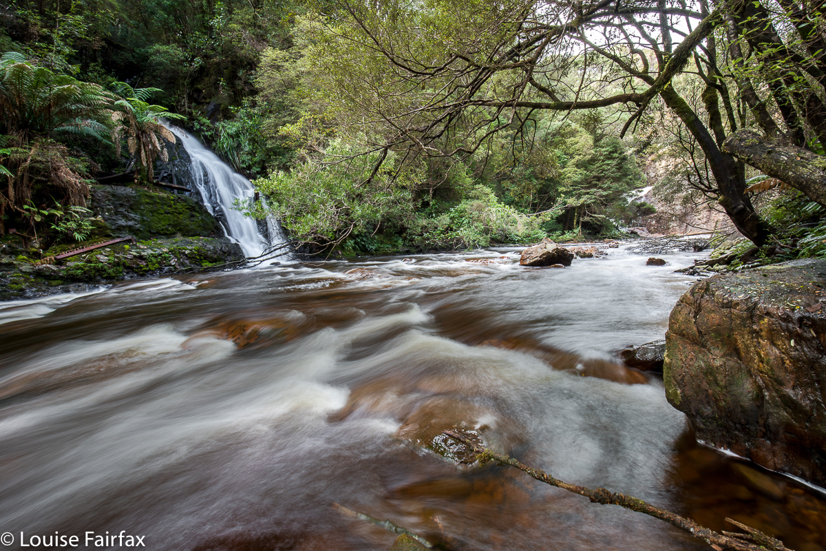
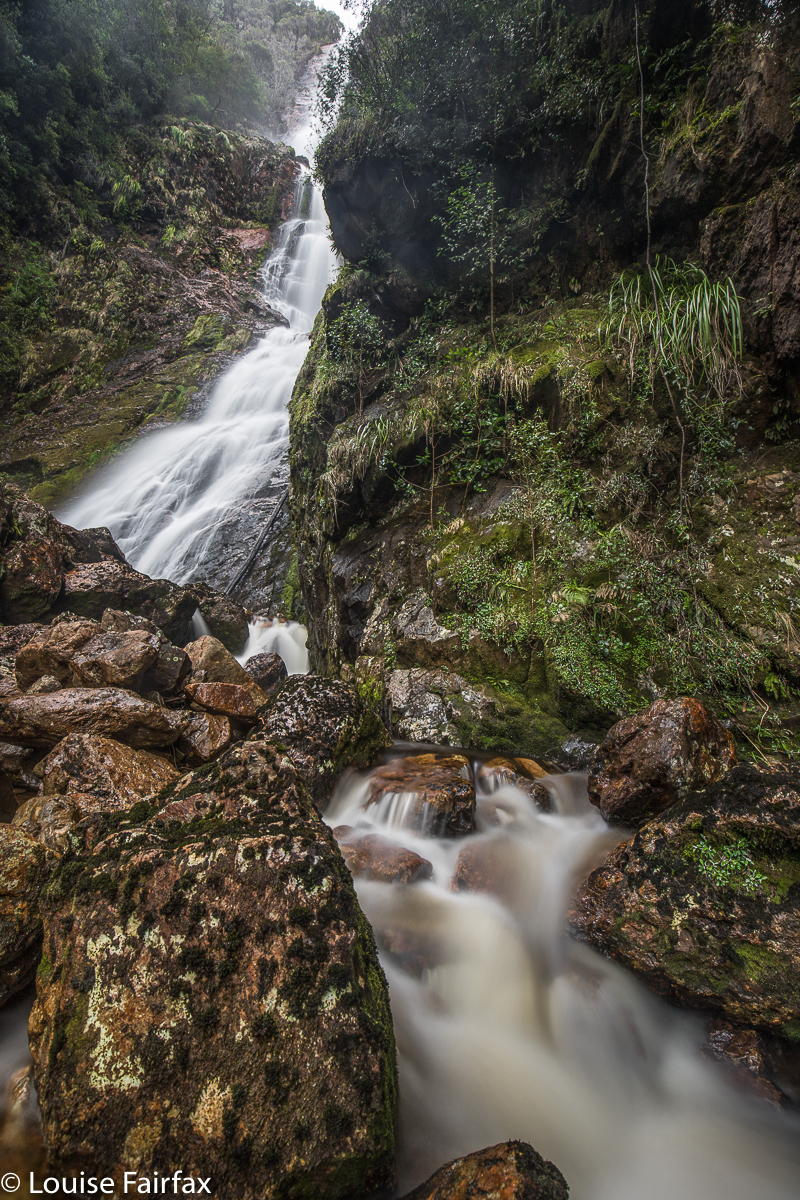 On the way back, we stopped off at Montezuma Falls for lunch. The first time I visited these falls, I got my lens splattered in droplets and threw every photo out. The second time, it was a silly trickle. This time, I was happy. And then it was time to finish off the walk, pour some caffein down my gullet, and begin the long drive home. I struggled, so had Les Miserables up at almost full volume, and sang full blast to try to conquer sleep once I had dropped Carrie off at Ridgley . Got there
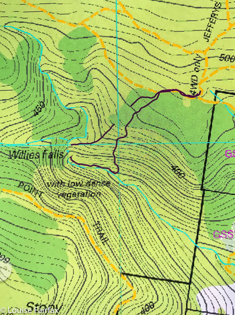
For Saturday’s walks, see http://www.natureloverswalks.com/upper-preston-falls/. For the cyan line of our route, see my first blog on Frazer Falls:
http://www.natureloverswalks.com/frazer-falls/
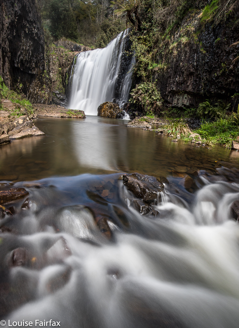
 Some of the waterfalls were private, and you need to ask permission from the right people. We actually tried more than is written here, but were refused permission from that “angle”, so retreated – possibly gracefully. As said, this is what I did see. Some of what I did see was really barely worth seeing, and I didn’t even bother taking a photo (Kindred; Preston). One, South Riana Dam Falls, I was running late for my 1 pm meeting with Carrie, so resolved to return – they were lovely. I will also return to Preston when there’s more flow and when the day is suitably cloudy. Conditions weren’t right for a photo this day.