Mathinna Falls 2018 Aug

Mathinna Falls, 2018, 1st Aug
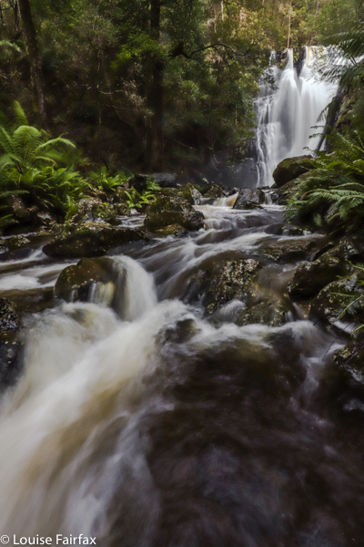

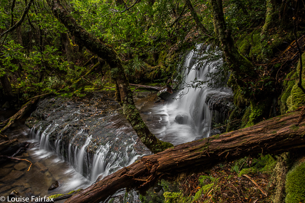
Tessa and I didn’t set out for Mathinna Falls until after lunch (in Launceston). The days are winter-short, but google said it would only take two hours to get there (correct), and about ten minutes to walk from the carpark to the falls (also correct). We were thus at the falls by 3.30 pm, which should have been just about perfect. The day was sunny, but the valley which cuddles these falls is steep and closed in, so no sun was present to glare up the water. It was actually quite dark and gloomy in there, even at that hour, and seemed much later. My early shots have a slightly golden tinge up where the sun could reach.
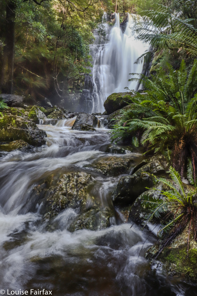

I chose gumboots for this journey, figuring there’d be a lot of water, and off we set. Good choice: water burst the banks and spilled out over sections of the track. The falls could be heard thundering and crashing up ahead. I was worried about Tessa being stupid, but she was frightened, and stuck very close to me the whole time. Just a quick drink was enough for her to feel the mighty force of this water.
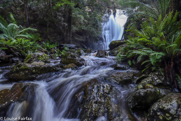

I was worried that the force of the water might pose tripod problems, but, well, that’s the reason I chose sirui, and it didn’t let me down: my tripod stood as solid as a rock in the rushing, pounding stream. There is no problem with sharpness in my images. My problems are mine alone, and have to do with the enormous dynamic range between the very dark foreground and side frames, and the overly light falls, made very bright by the massive volume of water. I had a similar problem in Iceland. You need to do exposure blending, and you need to have photos of very different exposures. I didn’t go fast enough on the falls part of the shot. I need to be more extreme next time in this situation. I thought I had it covered, but I wasn’t quite right.
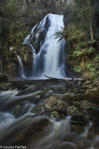

My boots were an interesting choice when it came time to climb up to the next two levels of falls. I found they were very slippery indeed on the rocks, and, as I didn’t feel like packing everything away for that climb, I negotiated the tricky climb with my camera and its filters plus tripod in one hand, leaving only the other hand for clinging to obstacles to stop me sliding backwards. I’m afraid I looked (and was) cumbersome and clumsy – not for the first time in my life. Anyway, I got there, and I saw a beautiful waterfall, and learned some valuable lessons for next time. Sunset behind Stacks Bluff on the way home was a treat.
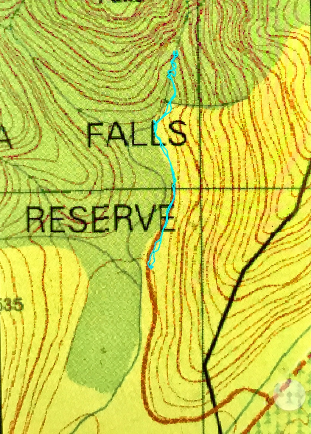

I chose the longer but faster (for me) route via Fingal. From there, I headed north to Mathinna, and took the road over the bridge heading for Ringarooma. After that turn, there are signs to the Mathinna Falls. It’s a pity they’re not signed from Mathinna itself. The cyan line above begins at the carpark.
 

Cuvier 2014, 2015

Mt Cuvier 2014, 2015


Arriving at dusk
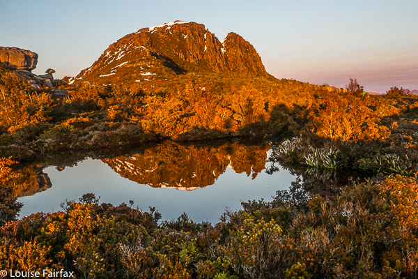
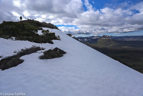
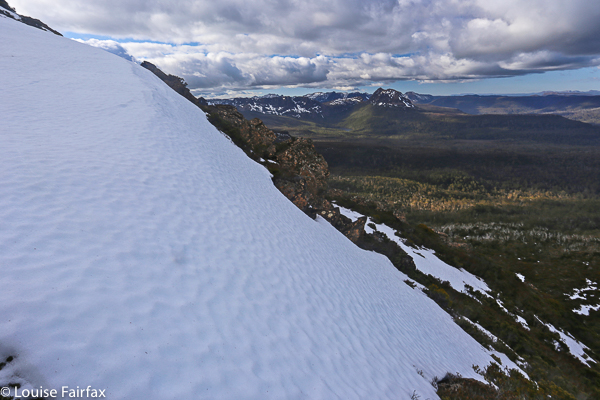
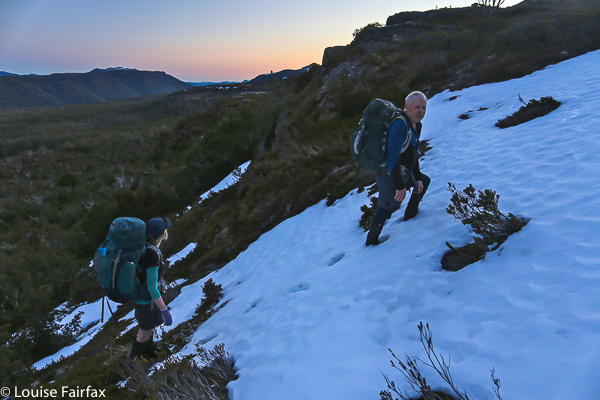
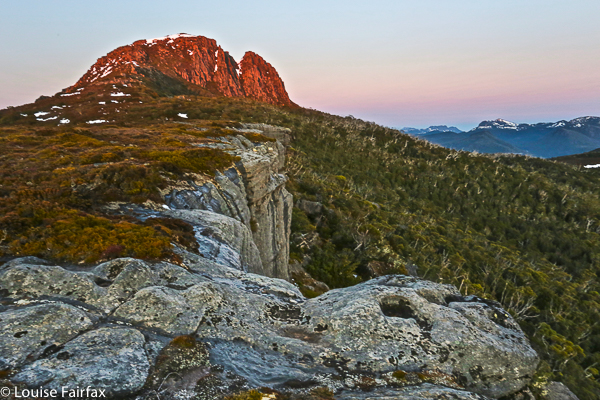
Mt Cuvier is so remote that it is usually climbed in conjunction with other peaks, I have climbed it twice: once on the way to Tramontane, and once on the way back from Goulds Sugarloaf. Both times I slept on its shelf. I love it there so much I will go back just to sleep in that spot again, even if I don’t climb anything else. Probably the worst part of getting there is just before you enter the saddle between Byron and Cuvier on the Byron side of things. This saddle is watched over by a highly protective band of scoparia. It poses a mild delaying factor while one searches for a route through. It is not by any means the worst patch of this darling bush that one will find on any trip. The 2015 trip was in partial snow, and that made it really special.


Summitting at the end of a long day in which we climbed many mountains, the furthest peak being Goulds Sugarloaf.


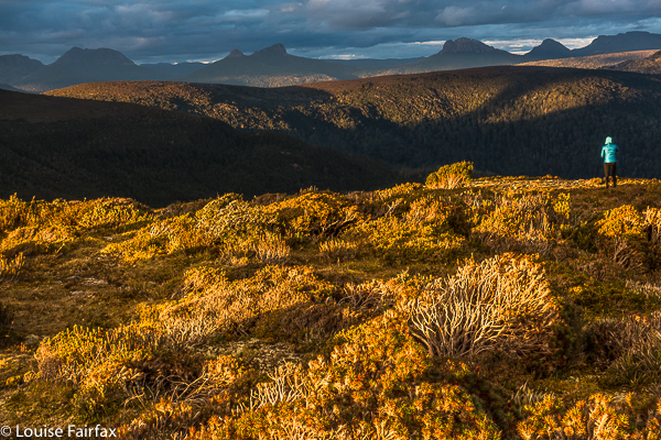
This is from a different trip, when Angela and I climbed Pyramid Mountain. Here Angela is looking at Mt Cuvier from way out west in even more remote wilderness: from Rocky Hill in the Eldons. When I look at a photo like this, I realise with an almost overwhelming emotion what an incredibly privileged person I am to have been to these remote places while they are still wild. What will be left for the next generation? It seems no government cares.
Yet the need to be in truly remote places and lose ourselves in the grandeur of the natural world, to expose ourselves to the infinite nature of a realm beyond our tiny concerns is healthy for our souls and for the way we relate to other people and our planet. The ones who will cause harm are the ones who don’t understand our place in the wider scheme of things. If you listen to the Liberal government, you’d think there is no greater goal for a human than a full pocket at the expense of every other human on the planet, present or future. The only language spoken is that of economics. They know no higher goals or deeper meaning. Intangibles like beauty or sublimity – or goodness – are beyond their grasp. Honesty never was in their dictionary. Responsibility is a word for others. The problem is that Labor is no better, and the greens have decided to keep their battles tiny so as to claim a few minor skirmishes, and they seem to have lost sight of how they got their colour.

Geryon Base Camp Falls

Geryon Base Camp Falls


Bruce and I stumbled across this pretty little waterfall on our first trip to Geryon Base Camp in about 2014.
I have since seen it on several occasions, and have made the time to get out my tripod and photograph it. It is not easy to get at, but I like it nonetheless.

Russell Falls

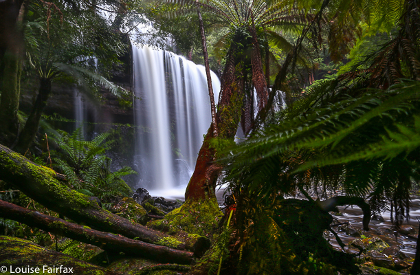
Russell Falls.


It is very beautiful, although waterfalls set in the context of viewing platforms and highway paths don’t really do it for me. It’s here for completion. I am aware you have to sacrifice some waterfalls for the tourists – although, when I look at Iceland, I’m not so sure. There, there were parking areas that were full of spiky stones (i.e., not sealed), few or no amenities, and only very, very infrequently did you get railings. It was terribly refreshing to see an attitude of: “Well, if you want to see it here it is, but we’re not doing anything to change nature from being natural.” And that’s why I love Iceland so much. And that’s why I’d prefer to see nature there than in my own Tasmania, as Tassie is ruining her beautiful nature by dumbing it down, taming and defanging it for what bureaucrats sitting in offices think that tourists want. I did not hear one person in Iceland complaining that the roads to the waterfalls were not sealed, or that the carparks looked like a farmer’s paddock. We all relished it.

Granite Falls (Not) 2018 Jul

Granite Falls (Not) 2018 July.

“The mystery of the missing falls” could be a subtitle for this expedition. Feeling high in spirits as the Scamander River beside us was so very beautiful, we parked the car at a bridge over it, and set out along its northern bank in quest of our goal, through wonderfully open granite terrain, complete with moss-covered tors and burgeoning ferns. Although Tessa had covered about thirty kilometres in the morning (we’d done ten), she was out in front, pleased that her human companions were off to find more treasure.

The first half of our outward journey was particularly beautiful, although the further we went, the more regrowth appeared, but it was still pretty easy going. We stuck quite near the river so we could see the falls as soon as they appeared. But they just never did. On we went, past where they were supposed to be and beyond where they could possibly be, given the lie of the land – after which, we turned around and went higher on the rebound to a place where the going was easier than it had become. Nonetheless, we had views right down the river, and there was no sign of a waterfall anywhere , and certainly not where the map said it should be. The falls were not in the vicinity. Craig has since done research that suggests they are on nearby Beahrs Creek, accessed from Hogans Road. Looks like I’ll have to have another trip to the East Coast. Did the Coffee Shop fund this mapping error?


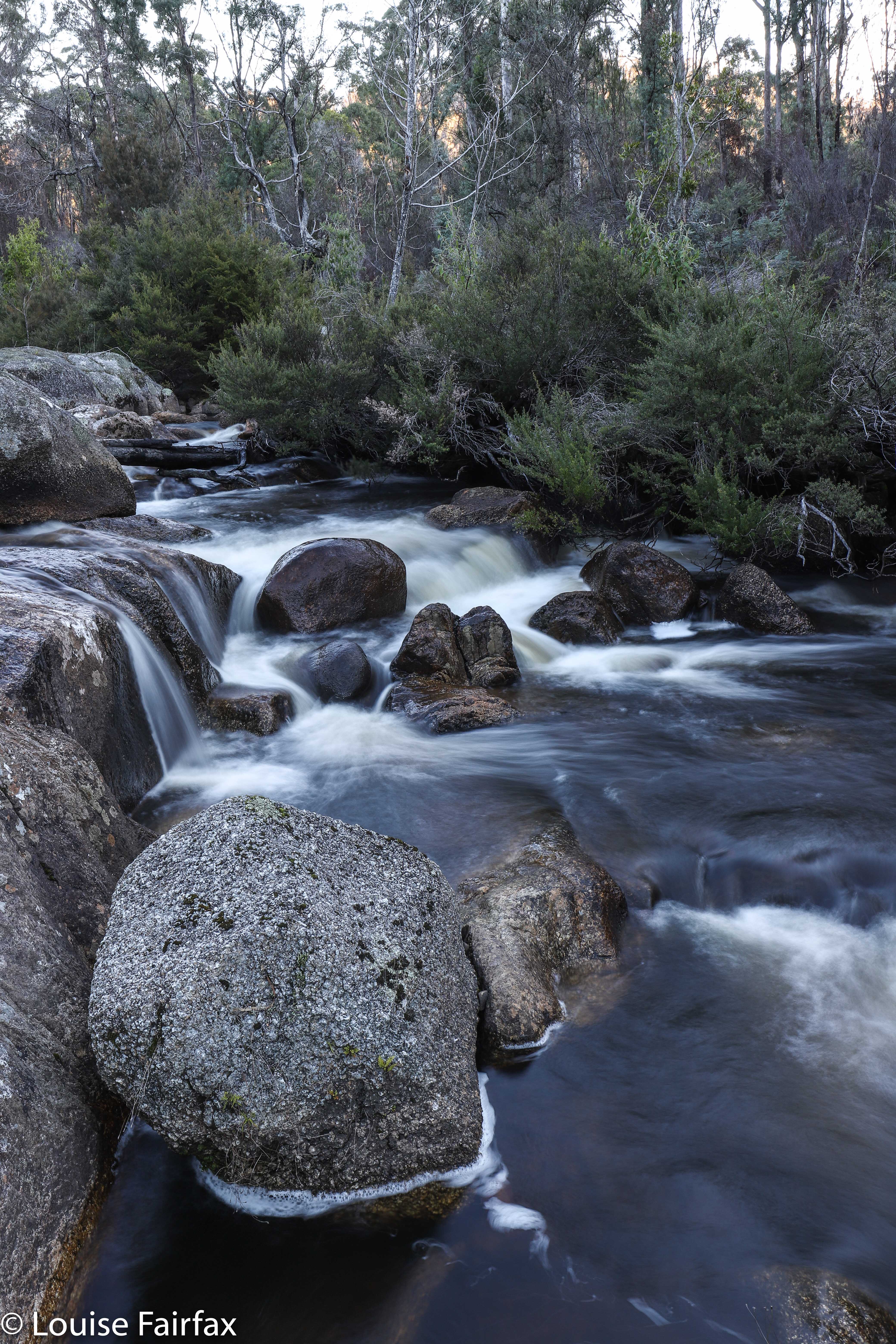
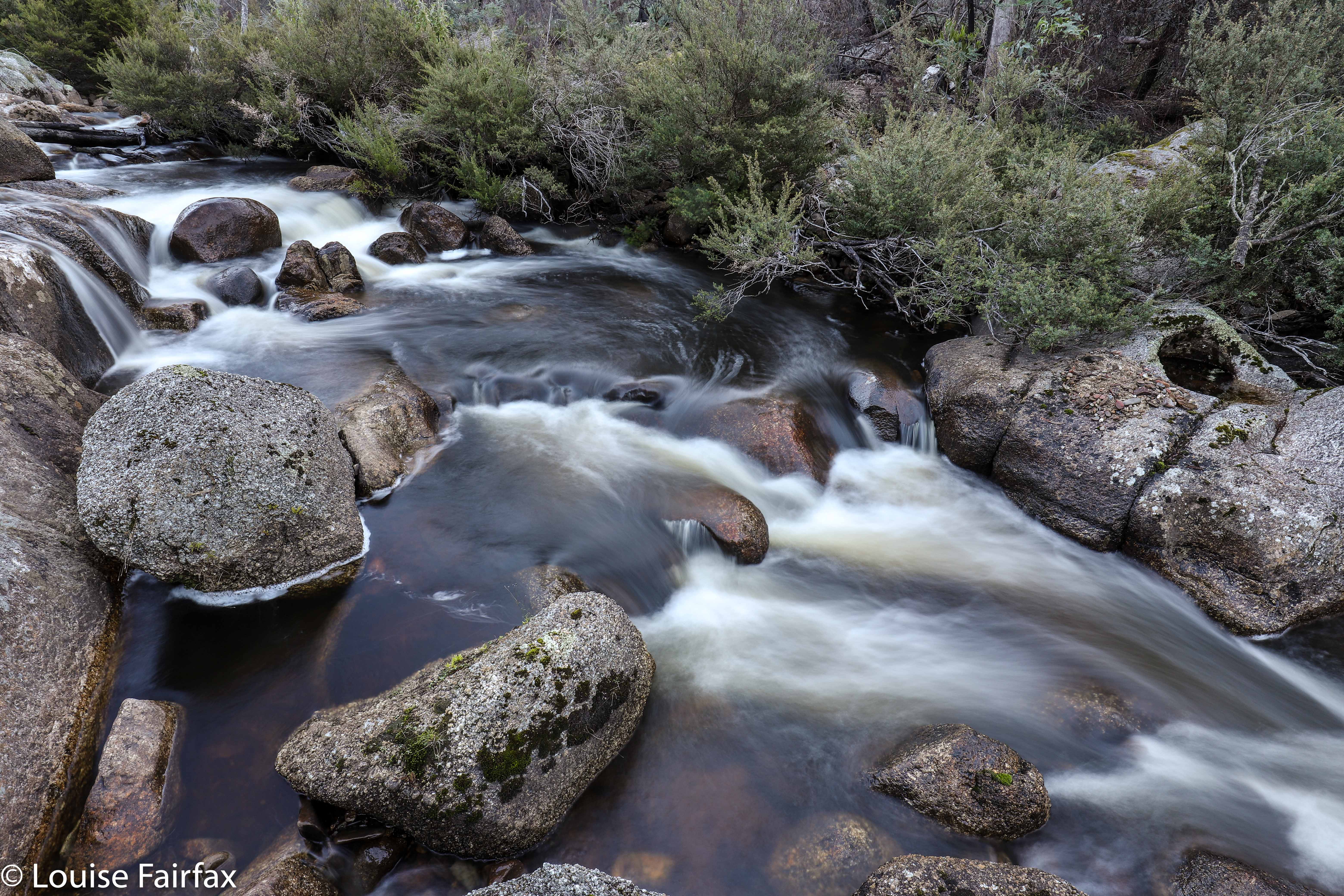
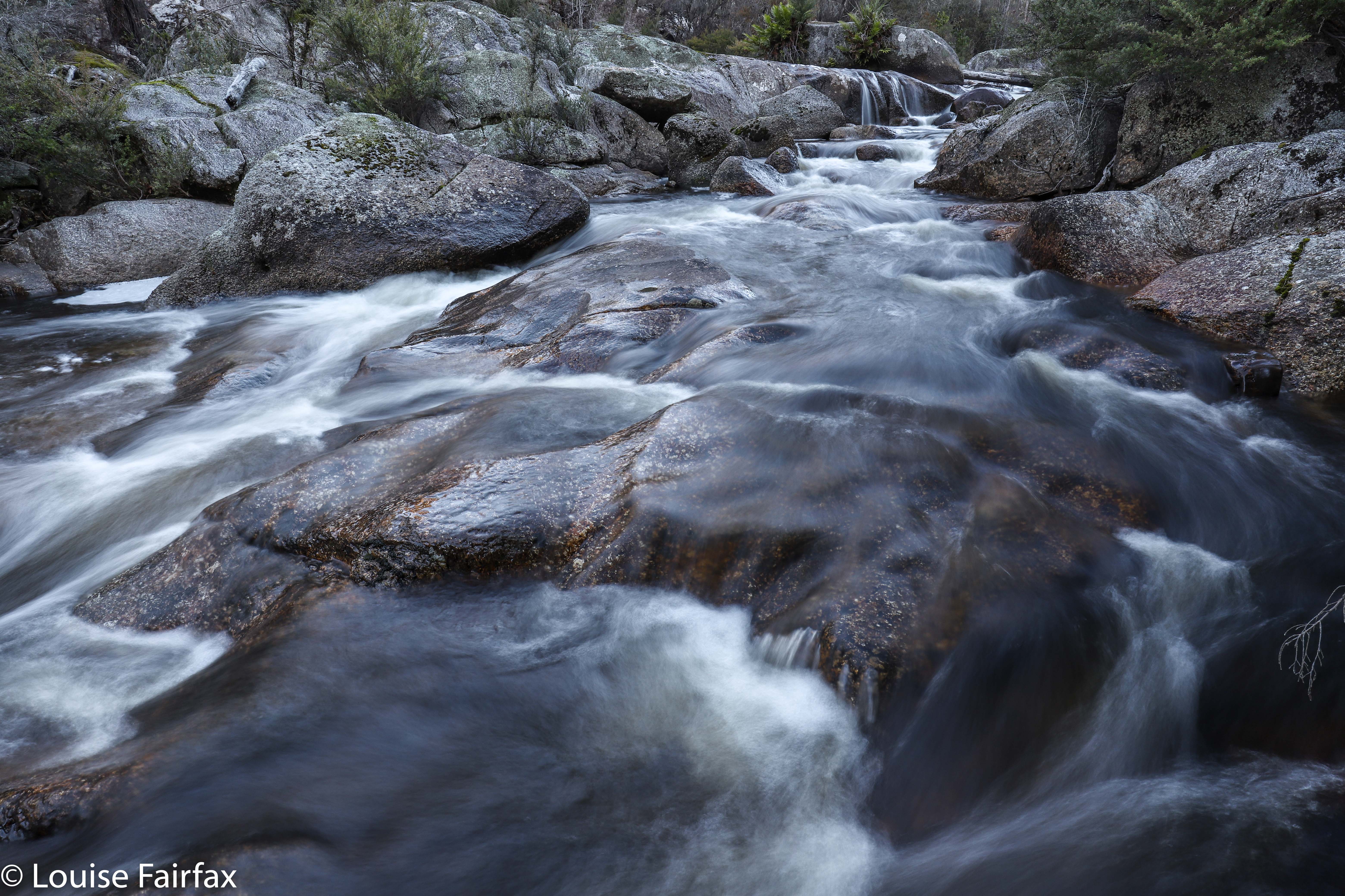
Having a twitchy shutter finger, and enjoying the beauty of the Scamander River with or without a proper waterfall, I insisted on stopping at the highest thing that could approximate a fall if you were an insect – with water dropping thirty centimetres or so – and photographed the pretty patterns the water made flowing over the rocks there. These gurgles didn’t even qualify as cascades, let alone a waterfall, but I am a photographer of, and responder to, beauty first, and a waterfall bagger second, so I enjoyed myself anyway.


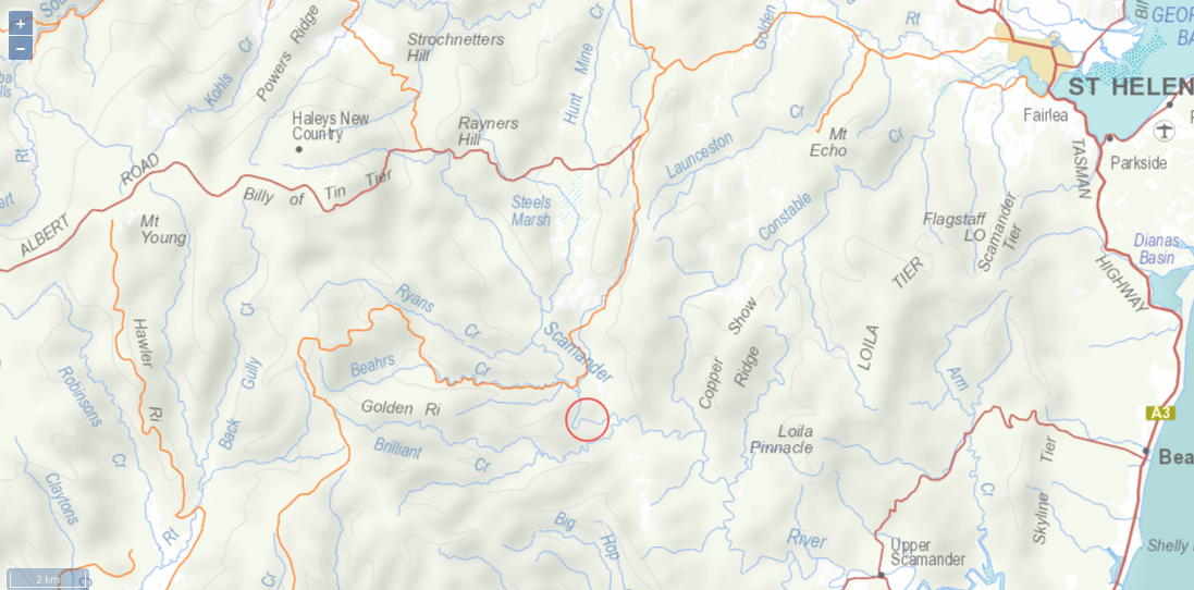
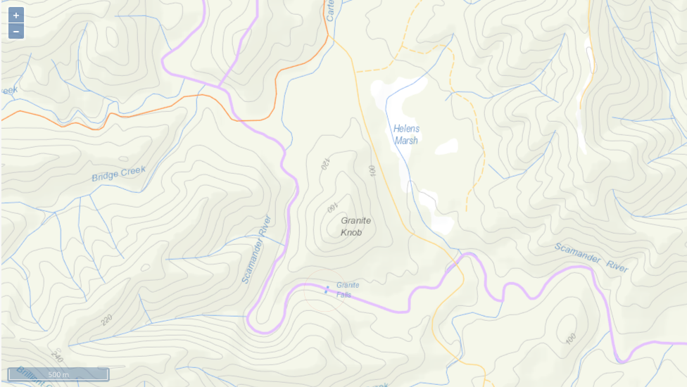
Context map to the supposed location, and to where we went.


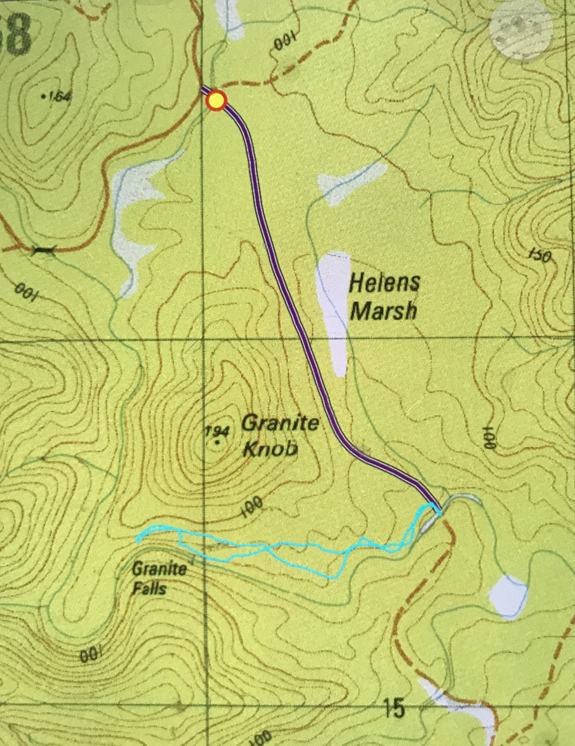
Here you can see where they’re supposed to be, right under (south of) Granite Knob. Looks like they’re a few kms away. (The purple line is the road we drove on; the cyan one is our walking route).


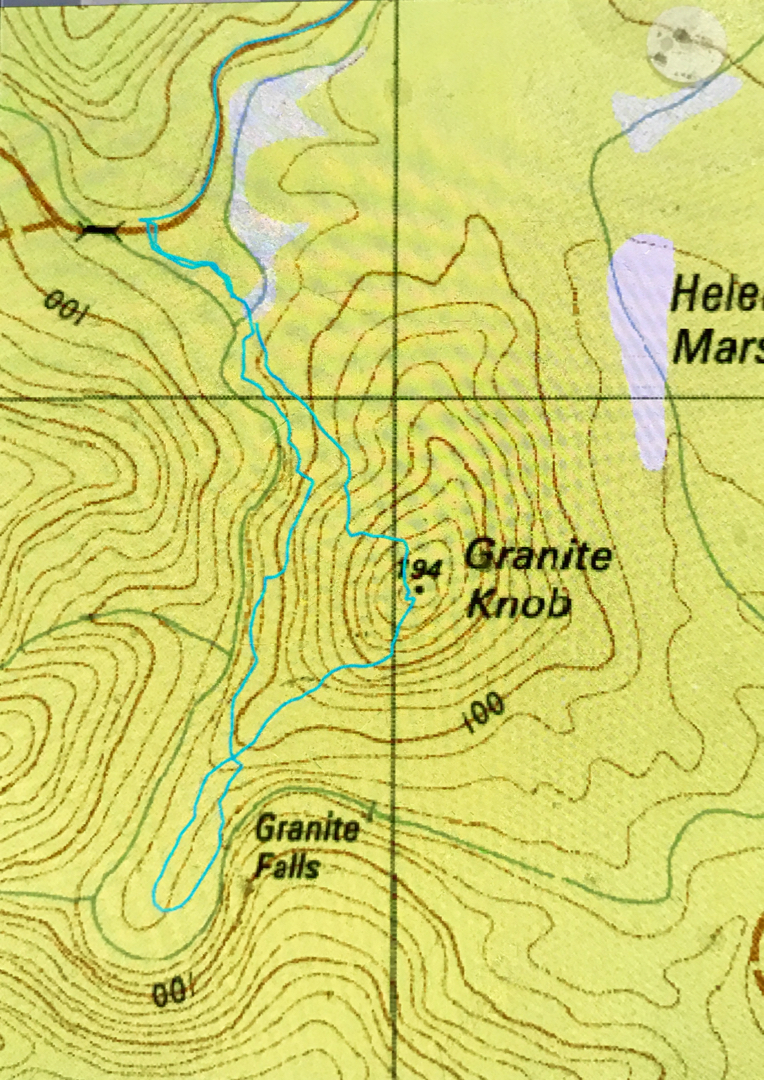
And on Wednesday I went back to explore as below, as well as investigating the length of Beahrs Creek. To no avail. It has now been established that Granite Falls do not exist. 20 or 30 cms do not constitute a waterfall. RIP Granite Falls.