Echo Falls 2018 Jul

Echo Falls 2018 Jul


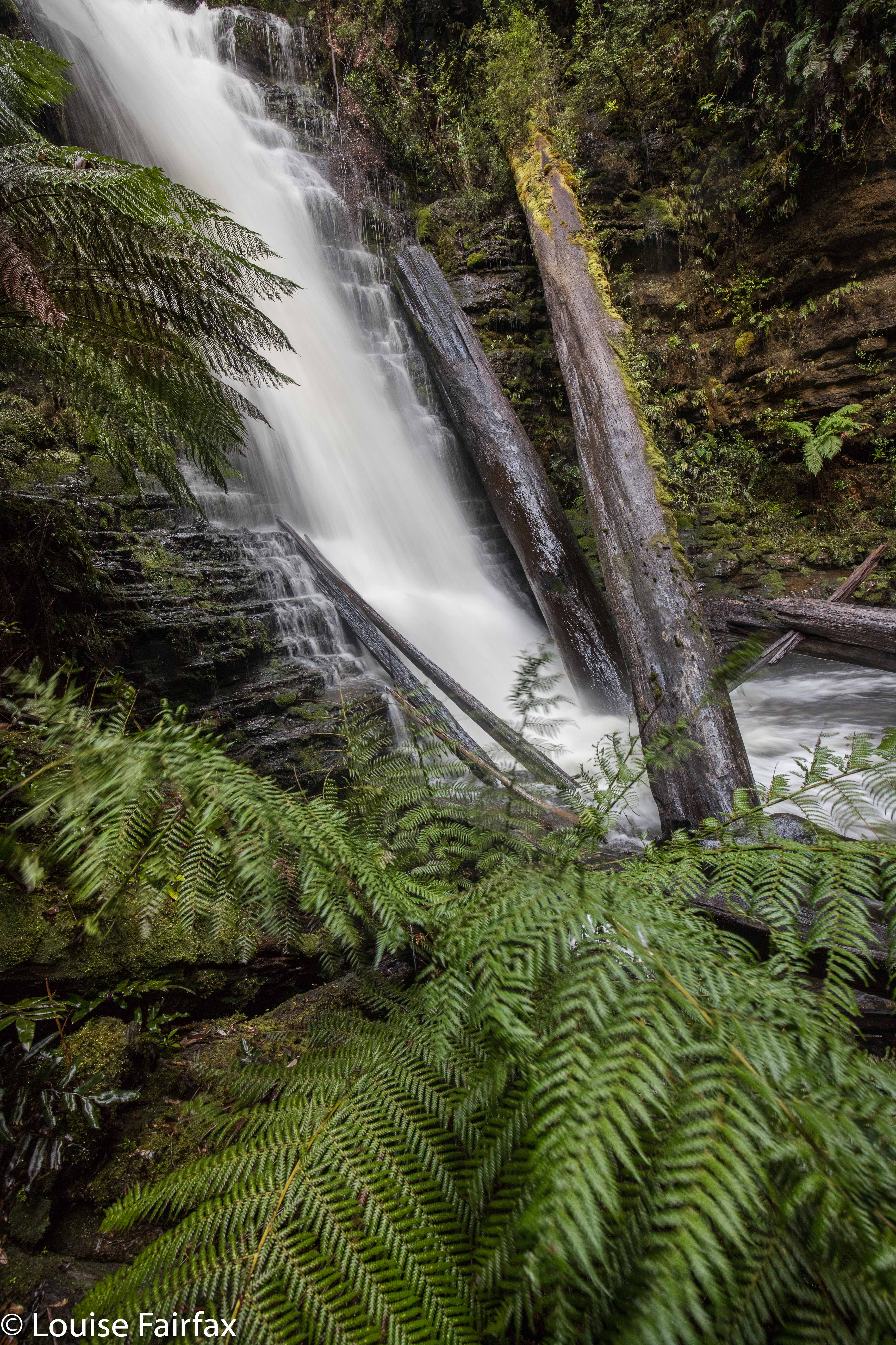
The weather forecast was for a beautiful sunny day in the east, less endearing elsewhere. Tessa needed a gambol. I decided these factors meant that I should go to the waterfall under Mt Echo, and also to Granite Falls kind of nearby. It has been annoying me for months that I got three of the four waterfalls on or near Constable Creek, but missed these ones under Mt Echo, so now was the time to fix up this hole in my collection of falls. I invited Craig, who said he’d like to come: he had had Granite Falls on his radar for  while, and was willing to humour me on the matter of also taking in “Mt Echo falls”, even though for some reason better known to himself (but not shared by me) he was not expecting anything at all of these falls. Tessie was, of course, right in there with enthusiasm. We were off.
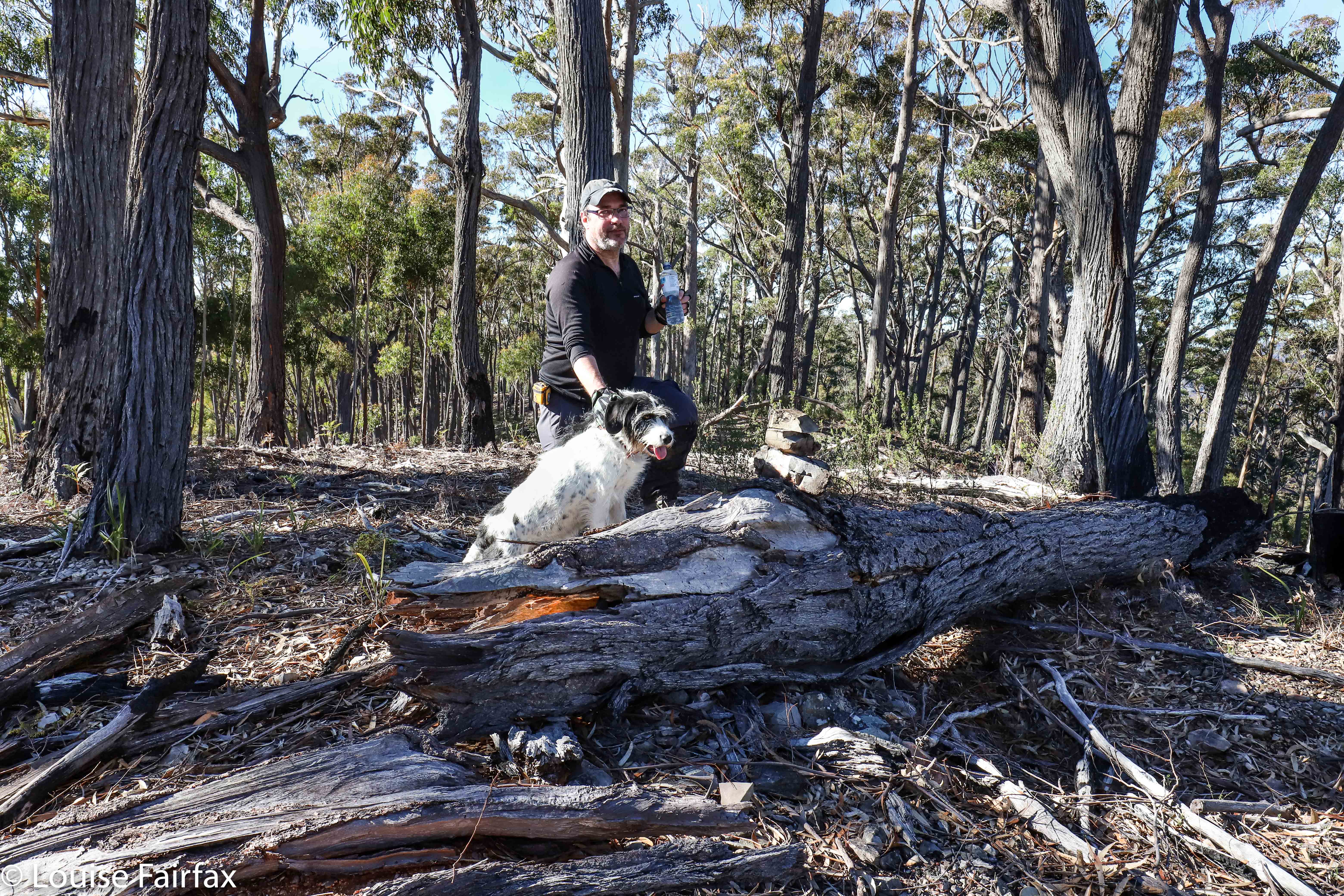
Having a break on Mt Echo. You can see Tessa and I built a summit cairn.
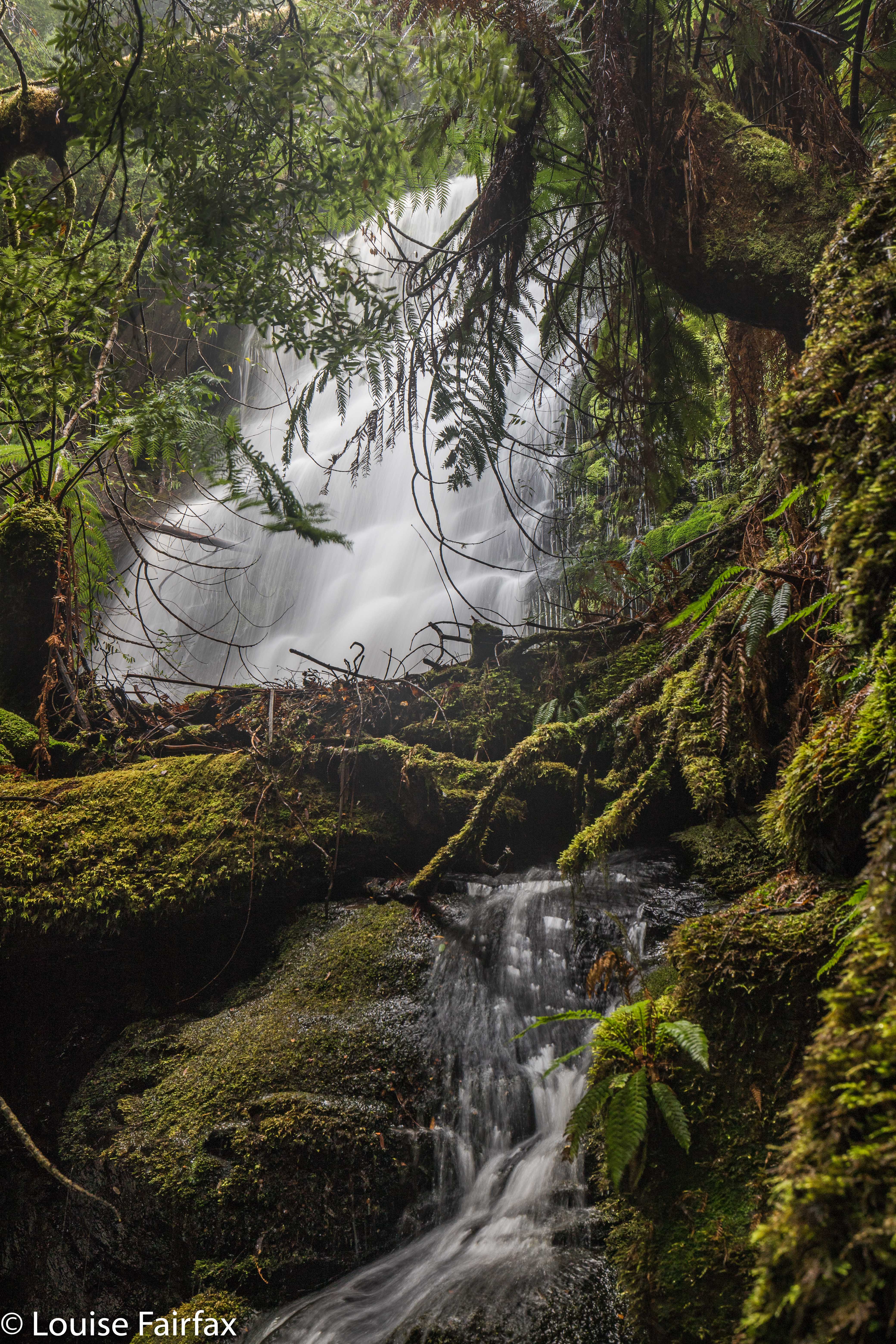
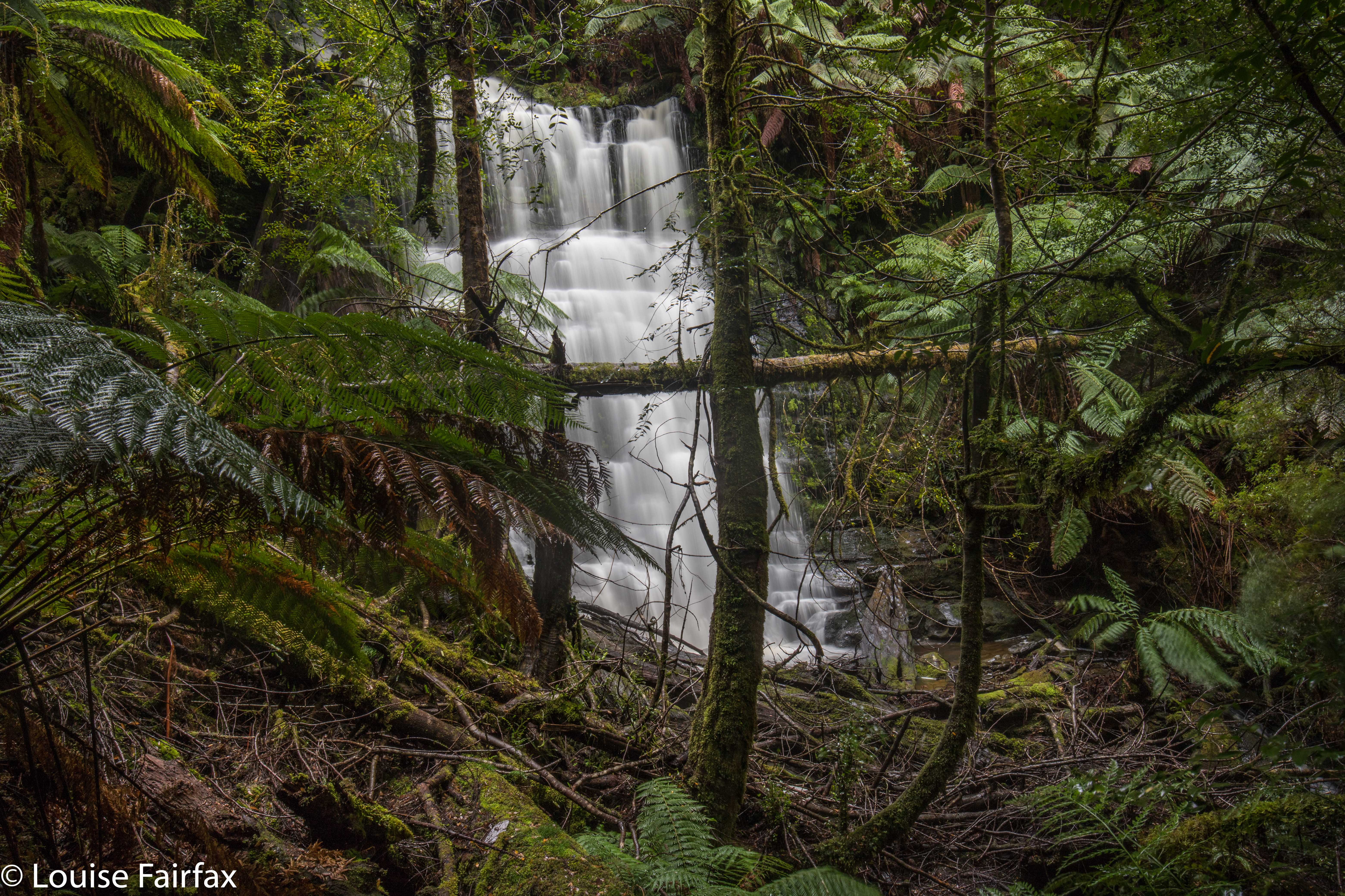
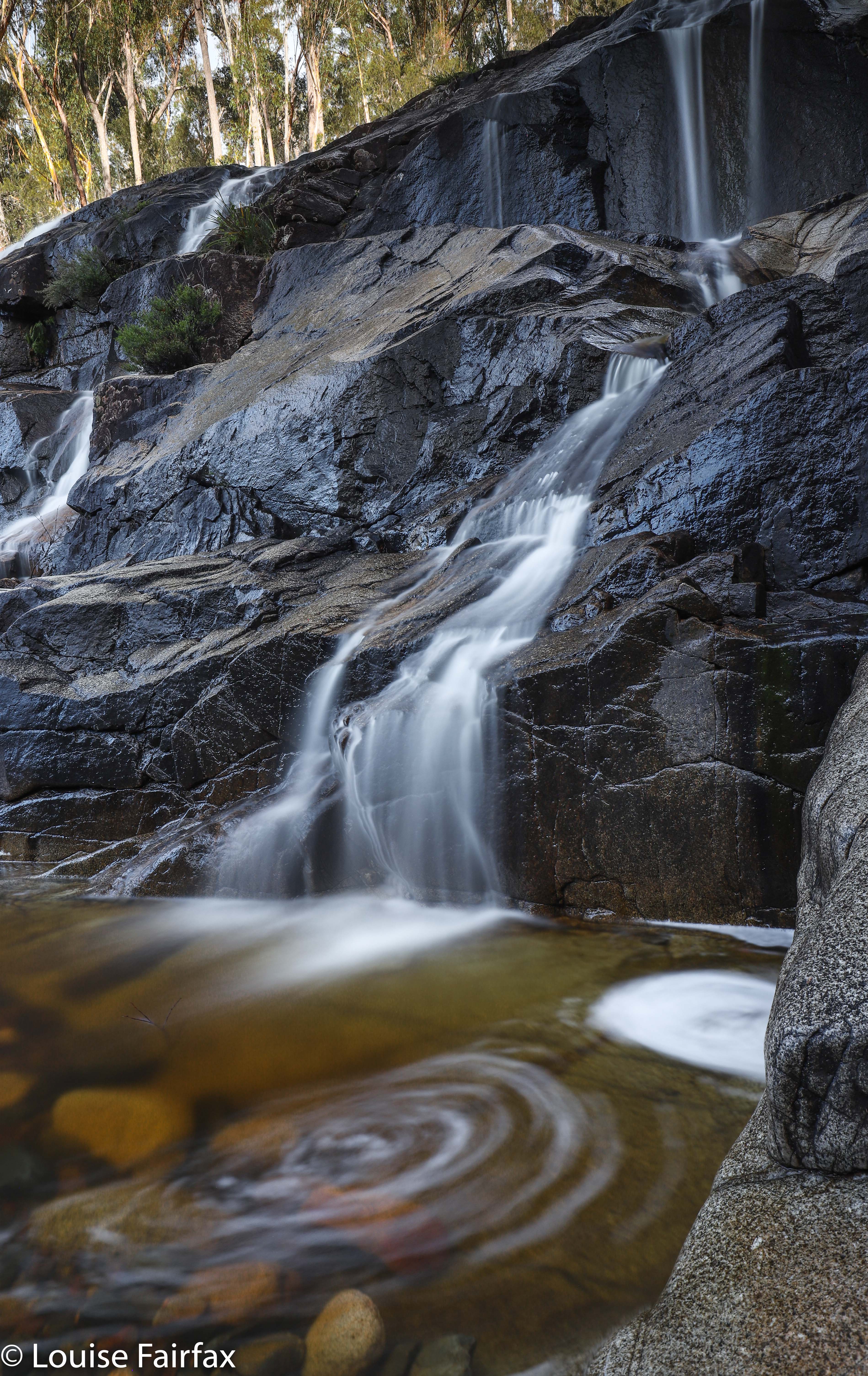
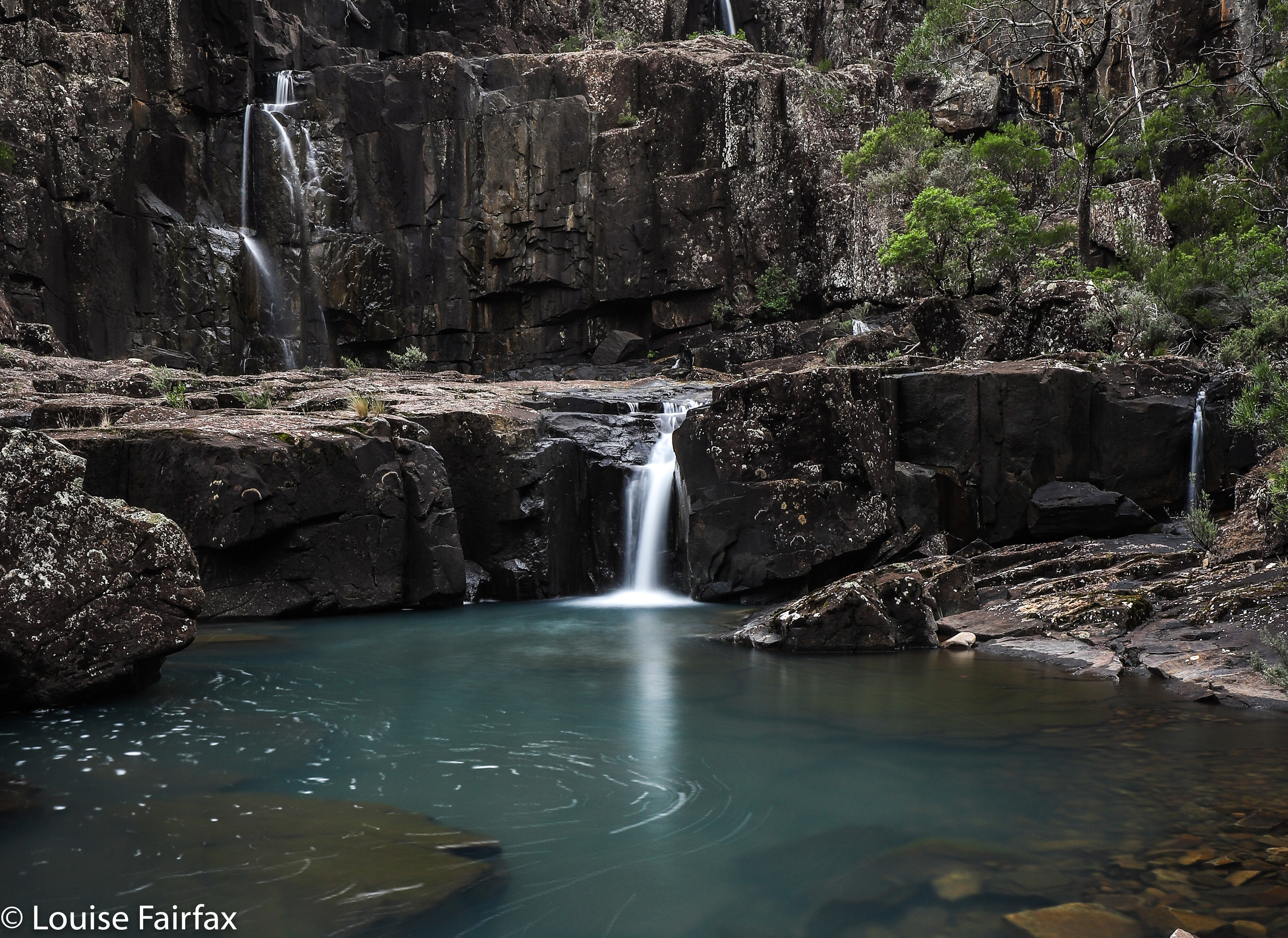
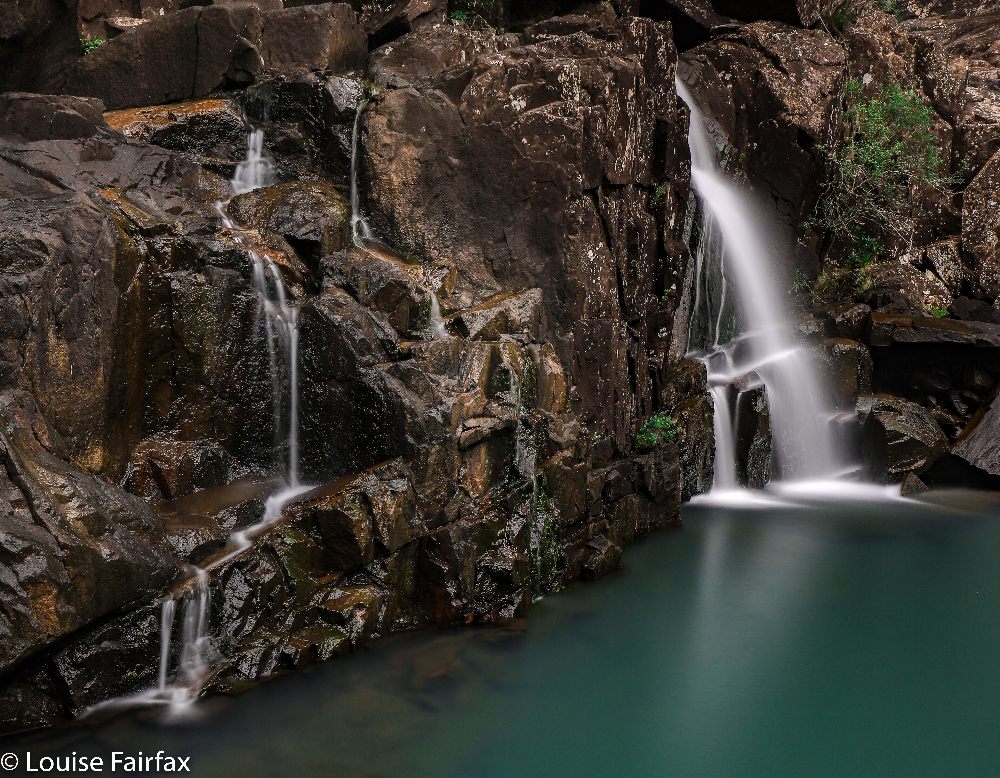
I wanted a nice little workout, so parked in a position that meant we would attack the falls via the summit of Mt Echo, thus getting in two bags for our buck. The bush was open, fast and beautiful, with occasional glimpses out to the East of shining waters. However, Craig was not feeling very well, so at the top, said he’d wait there while I descended and photographed the falls. I said he’d be disappointed, and that we could return to the car via a less demanding route, and kind of shoved him onwards. He would have indeed been disappointed. He enjoyed these falls greatly – so much so he took over the naming, and changed them – with my consent – from my “Mt Echo Falls” to just “Echo Falls”. His name is less cumbersome, so I agreed. And we were certainly in agreement that the walk we did was a perfect little day hike, especially if one combined it with Ferntree Falls or with one of the other three falls attached to Constable Ck – or with Granite Falls, for that matter.
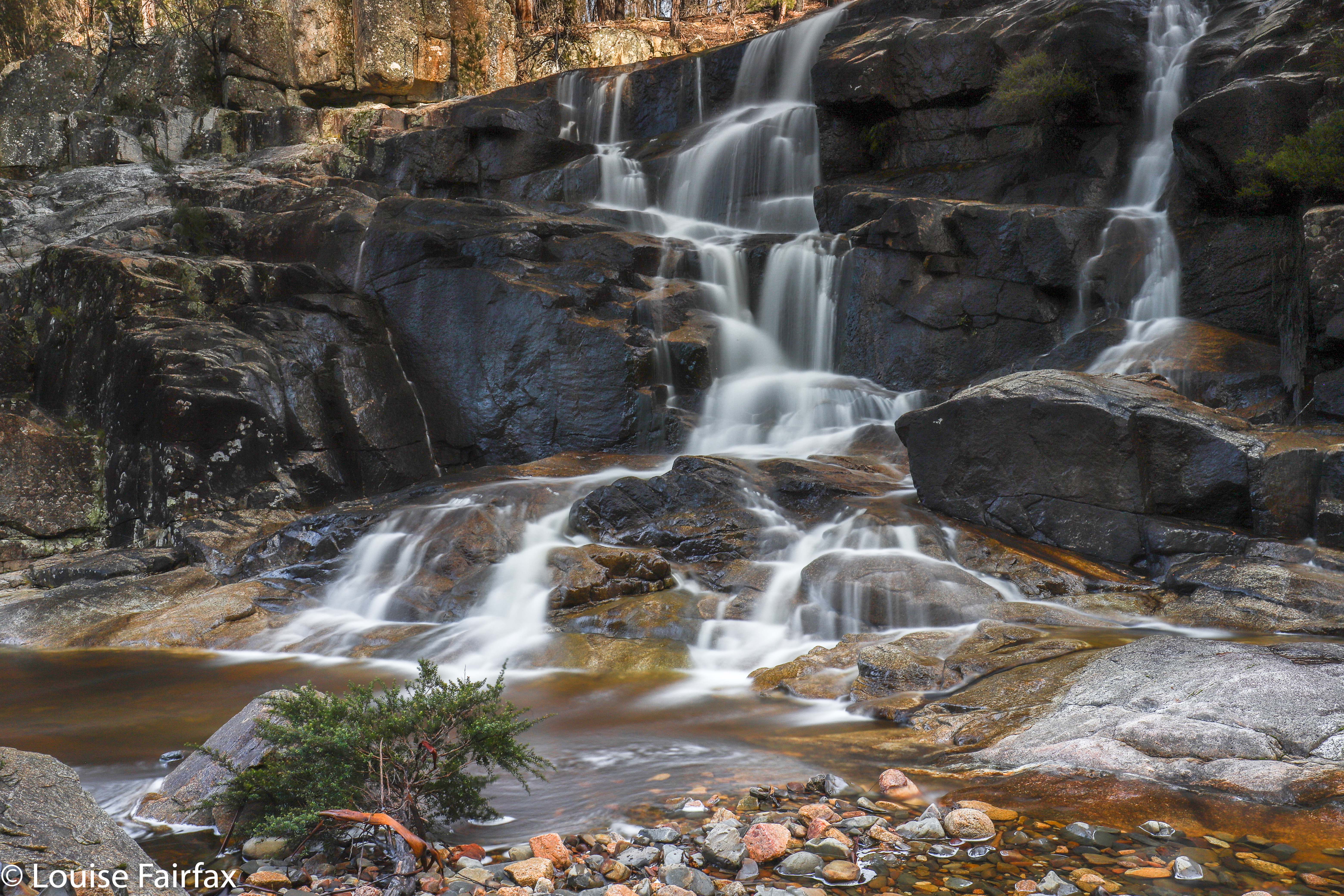
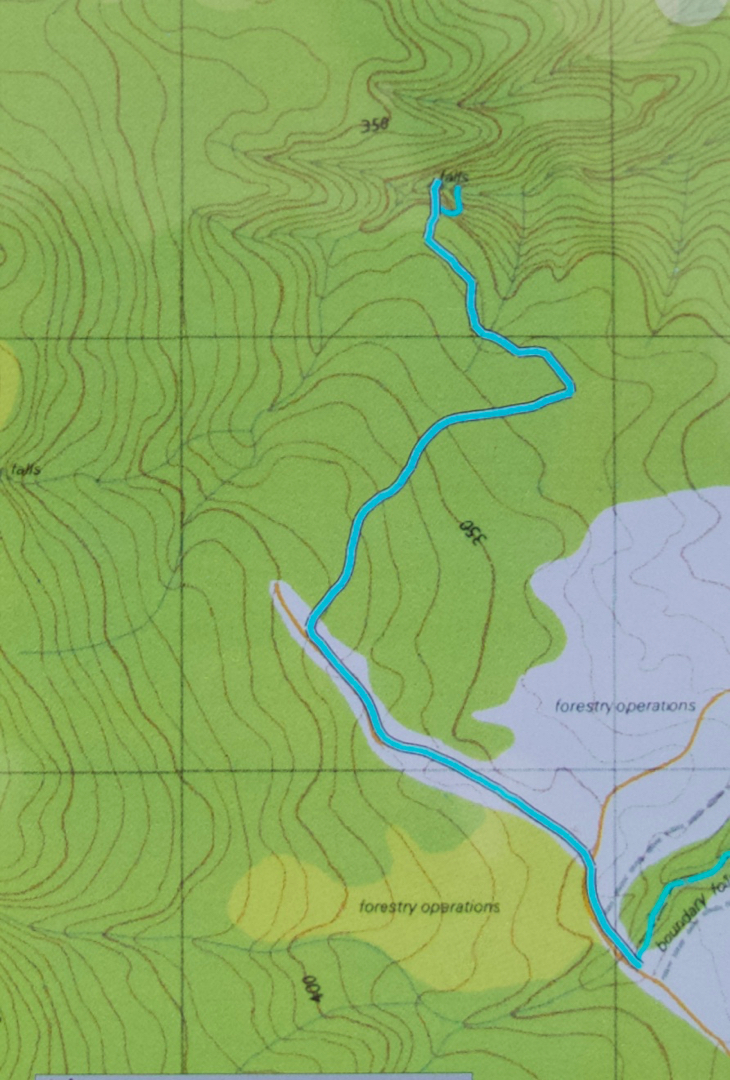
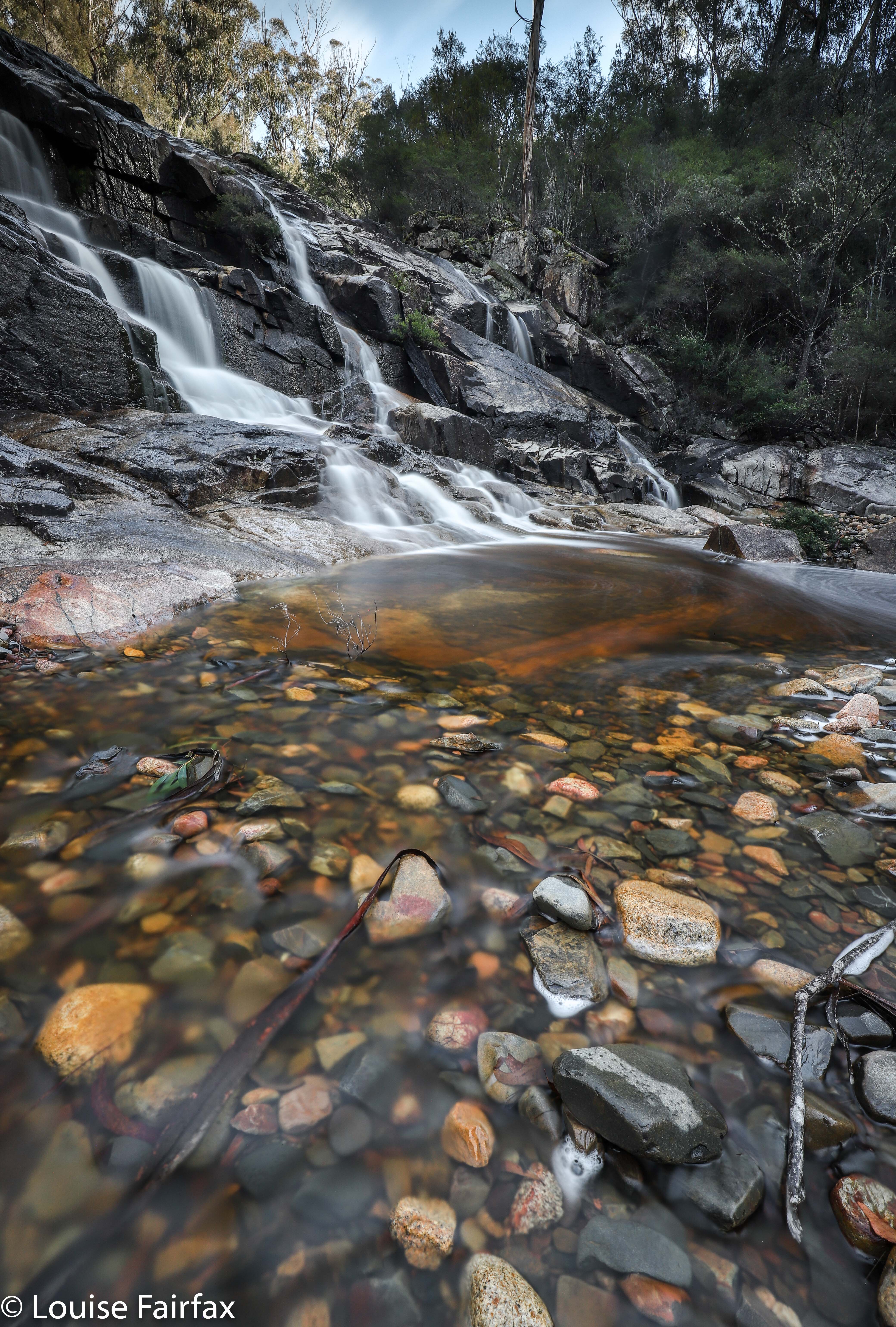
So, to describe in words what the map below tells you (sorry for the missing bit: my phone turned itself off): We just followed our noses to the summit of Mt Echo, being careful to choose the correct ride in the descent. The ridge down to the falls was shapely and interesting; the falls themselves were really attractive, and it was fun navigating around nearer to creek level for a physically easier route back to the car. The whole thing, including many, many long-exposure photographs, and several swims for Tess in a variety of pools, took around three hours. We felt very satisfied munching on our lunches in the forest near the car, and looking forward to our falls for the afternoon, Granite Falls.
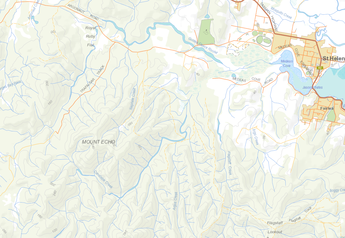
As you can see from this context map, one reaches these falls by heading out of St Helens on the Argonaut Rd, and turning off it onto Trafalgar Rd. For the particulars of our route over Mt Echo, see the gps route below. This walk was so easy with respect to scrub bashing, that I highly recommend it for clubs.
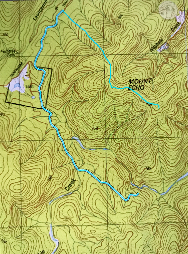

Sorry about the discontinuity in the cyan line of our route. I must have bumped my phone off at the summit of Mt Echo, and didn’t realise until I was leaving the falls at the base. I didn’t need a gps once I was on the right ridge, and I think our path from summit to falls is very obvious if you can read maps, and if you can’t, then please don’t venture into untracked wilderness like this. It is beautiful indeed, but probably frightening if you don’t know how to read a map to get yourself around. I think this would make a brilliant club walk, so maybe urge to get it onto your club’s programme.
Hardings Falls 2018 July

Hardings Falls 2018 July

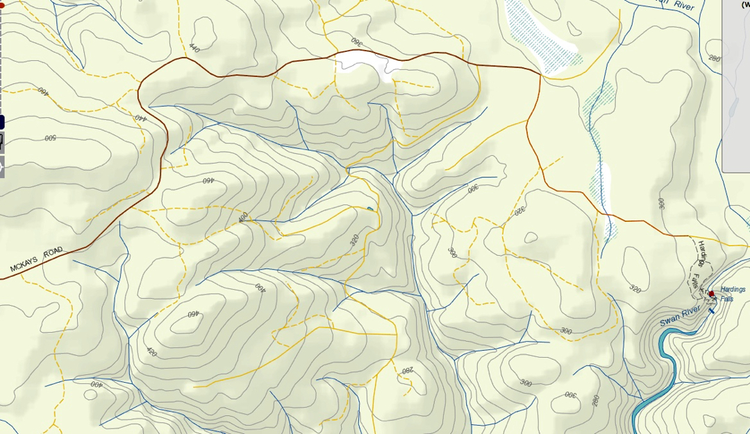
I decided for Hardings Falls on this day, as my dog needed to spend time with me, and Hardings Falls is suitable for that. Meanwhile, I hoped that the recent rain would give them a good flow. My house and garden seem to be underwater and in a state of flood, so surely the falls would be flowing well. My friend Craig (Doumauras) doubted they would, and, unfortunately, he was right. The Swan River, with its eastern catchment, hasn’t heard of the rain just a bit further west.

I had actually tried to get to these falls once before, but found the road blocked due to the flood the previous year. This year, I could get all the way to the carpark. There are some sharp-looking rocks on the road, and I drove very slowly, but is manageable.
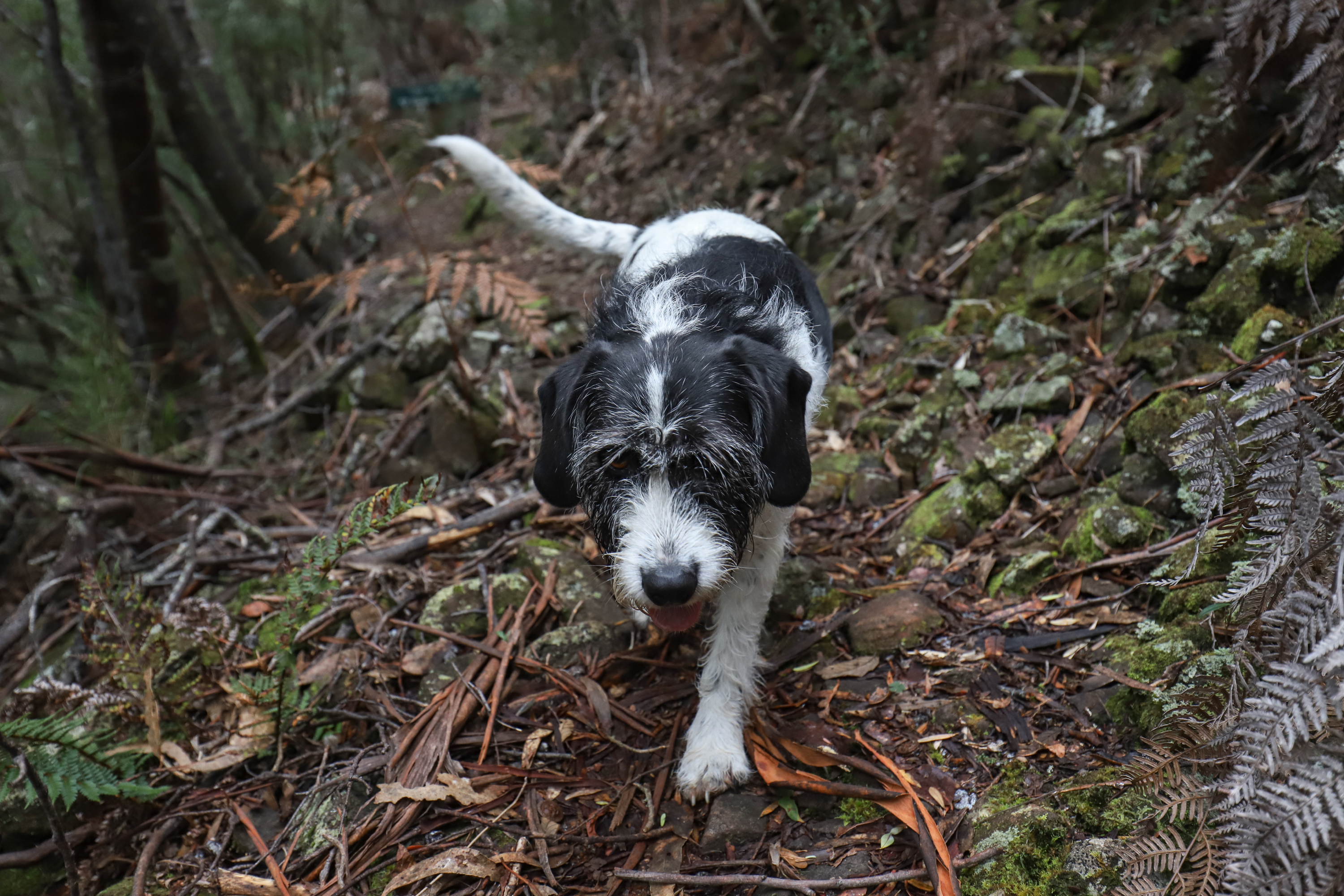
It took a full two hours’ driving to get there from Launceston (a bit less on the rebound, when I was more confident), and the walk down took twenty minutes.  There are some very loose stones on the final descent, which worried Tess somewhat, and some very slippery rocks down the bottom that caused her to slow her pace. It’s nice to see her being cautious for a change.


Happy little waterfall bagger
The river in general – and the pool below the falls themselves – was a very beautiful blue. It must be lovely for a swim in summer, although I can’t imagine the falls having any flow at all in the summer months. I want to return some time when I know she is pumping.


To get to the falls, drive to Avoca in the Fingal Valley. Turn right (S) towards Royal George. One passes through this cluster of buildings, and changes direction a bit. Eventually there is an X intersection. To the left (E) is Hardings Falls (signposted; McKays Rd)); to the right (W), Meetus and Lost Falls (also signed). The road straight ahead, which you don’t want, seems to be the main one.

Emmett 2018 May

Mt Emmett revisited 2018 May


Even as we savoured our summit views on Mt Emmett five minutes before our absolute latest turnaround time, I knew that the light was already a little too golden; the shadows, marginally too long. We would be descending in the dark: not a good idea when the forecast was for negative five overnight, and when we had several patches of very thick scrub to negotiate before we reached a path. I sure hoped we could dispense with all the tricky sections before we completely lost visibility.

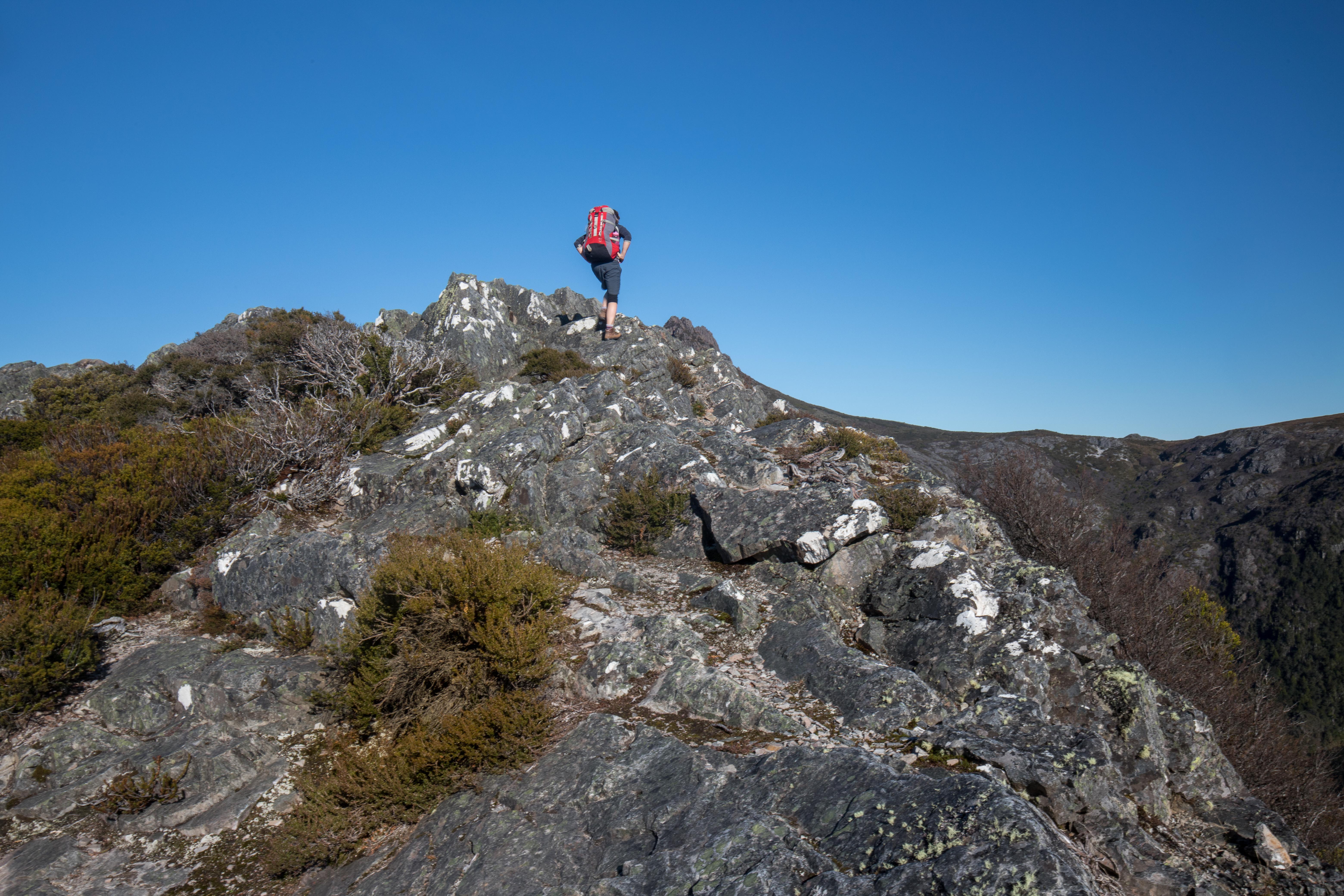
Can you see my daughter climbing? The light is already a bit too golden.
Down we climbed, trying to combine haste with care – the need to get out of here with the equally important requirement not to break a bone or damage a muscle needed for movement. (I was, a bit later, to skewer an eye with a twig, but that didn’t stop forward progress, fortunately. I bled and kept going).


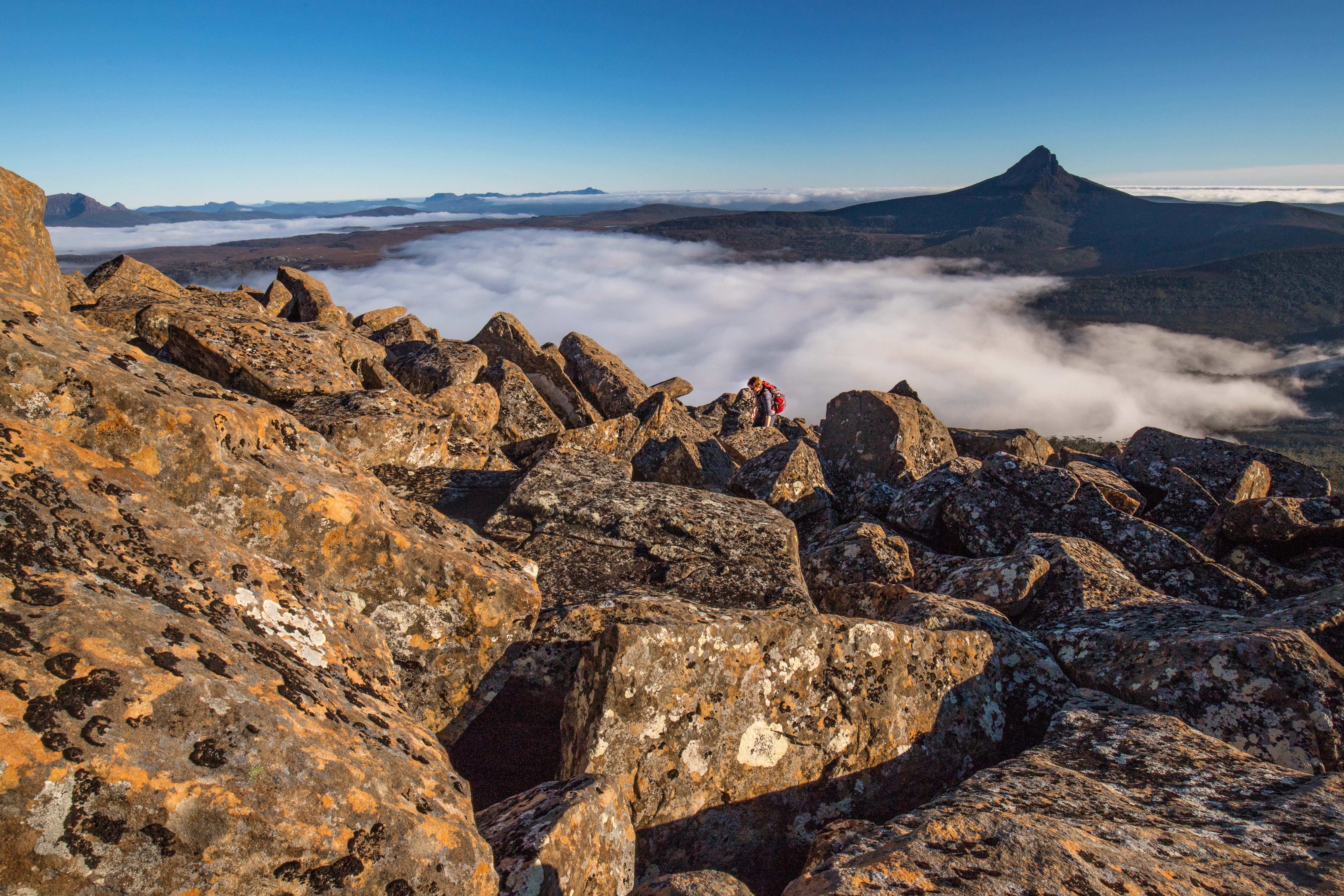
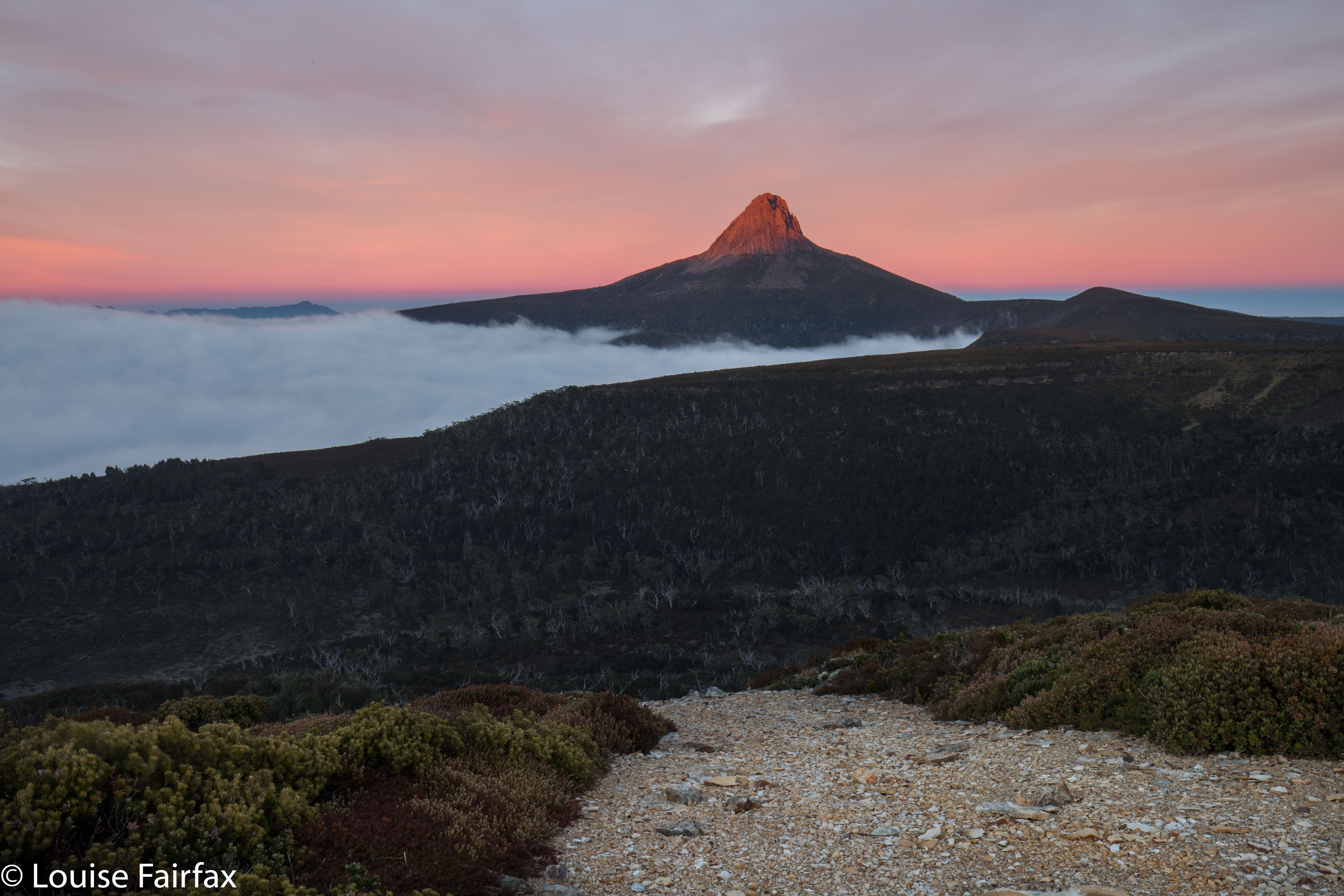
That’s Barn Bluff in the distance there.
It wasn’t just that darkness was rapidly approaching. My anxiety lay in the fact that the “Emmett-Lump saddle” ahead was very thick indeed, with the barest hint of a pad that was almost impossible to detect even in good light. One metre to the side of that adumbrated pad, and you were in a fighting wall of bosky resistance from which you would not necessarily emerge that night. My other angst stemmed from the fact that, already, one could see ice crystals forming in slightly more open areas. It was not a night to be outside without the protection of tent, sleeping bag and insulating mats and so on. We just HAD to get out of here, and fast.


Oh oh. It’s getting dark, and we still have a big descent to do. But when it’s this beautiful, who cares about the time? Not us.
Out the other side of the thickest of the patches, we safely reached a brief band of alpine grass in between two scoparia swathes. I quickly grabbed a couple of photos, because all around, the scenery was beginning to look absolutely magical, but I still had too much sense of urgency for carefully constructed shots. We still had this last band to negotiate, and THEN we could relax. After this next part, the rest would be easy alpine terrain and then a track. It wouldn’t matter then if darkness took control.


The dawn we climbed back up to see.
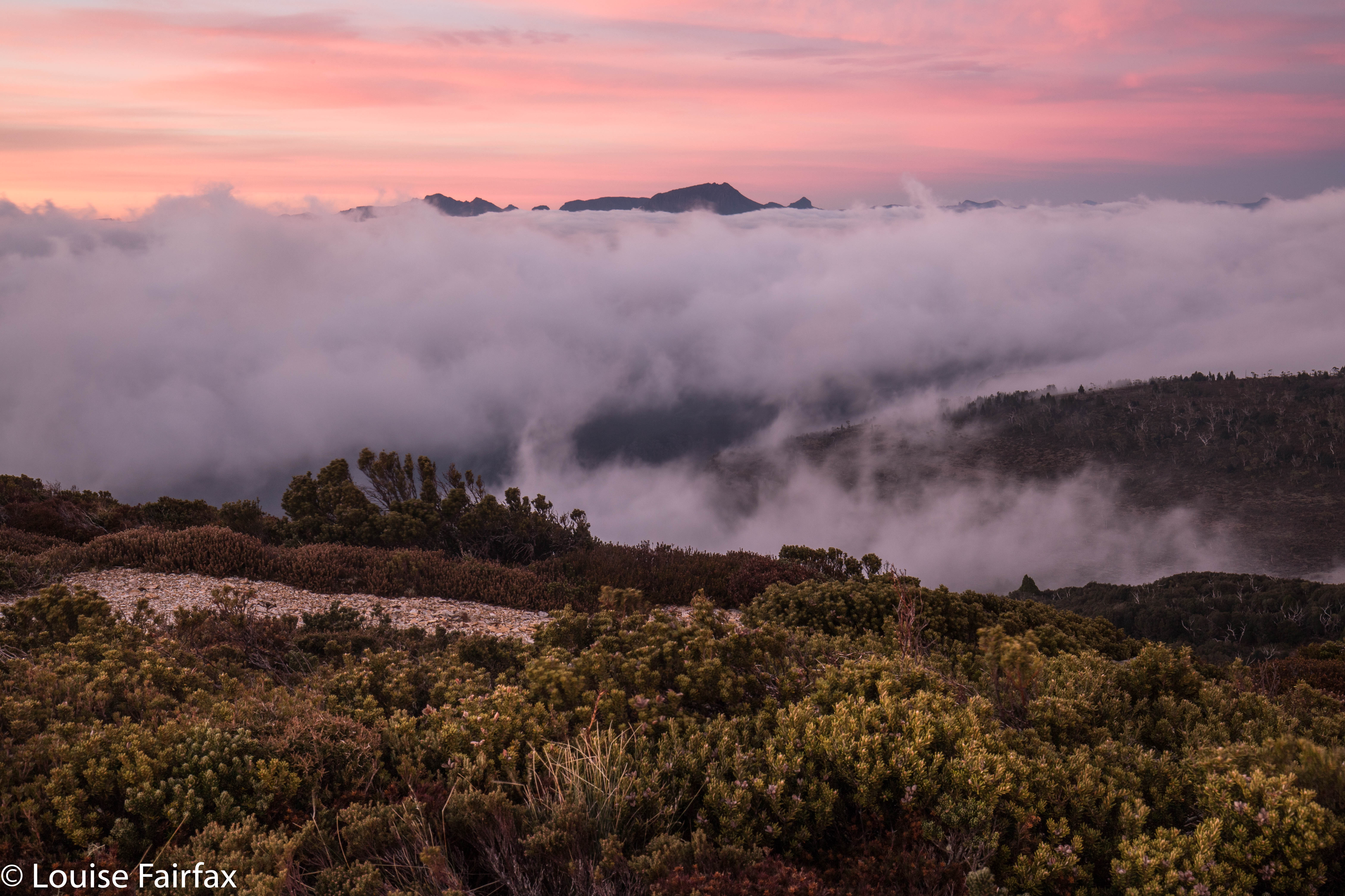
Mist rose to left and right in roseate, colourful swirls that chased each other across the slopes, obscuring and then revealing the mountains all around. Indelibly etched in my mind is the image of these wisps, my daughter’s silhouette and the setting sun behind Cradle Mountain just ahead. It took your breath away. At last, all the tricky parts were dispensed with.


Now we could relax and photograph and enjoy. We’d missed the best light, but the remnants were still floating us up in waves of pleasure. Behind us lay the mountain of our quest, Mt Emmett, which had entered the “blue hour” tones; leaning over its shoulder was a nearly full moon, piercing the indigo sky. In front lay Cradle Mountain , which was still sporting alpenglow pinks, yellows and burnt orange.  The clouds swirled some more.


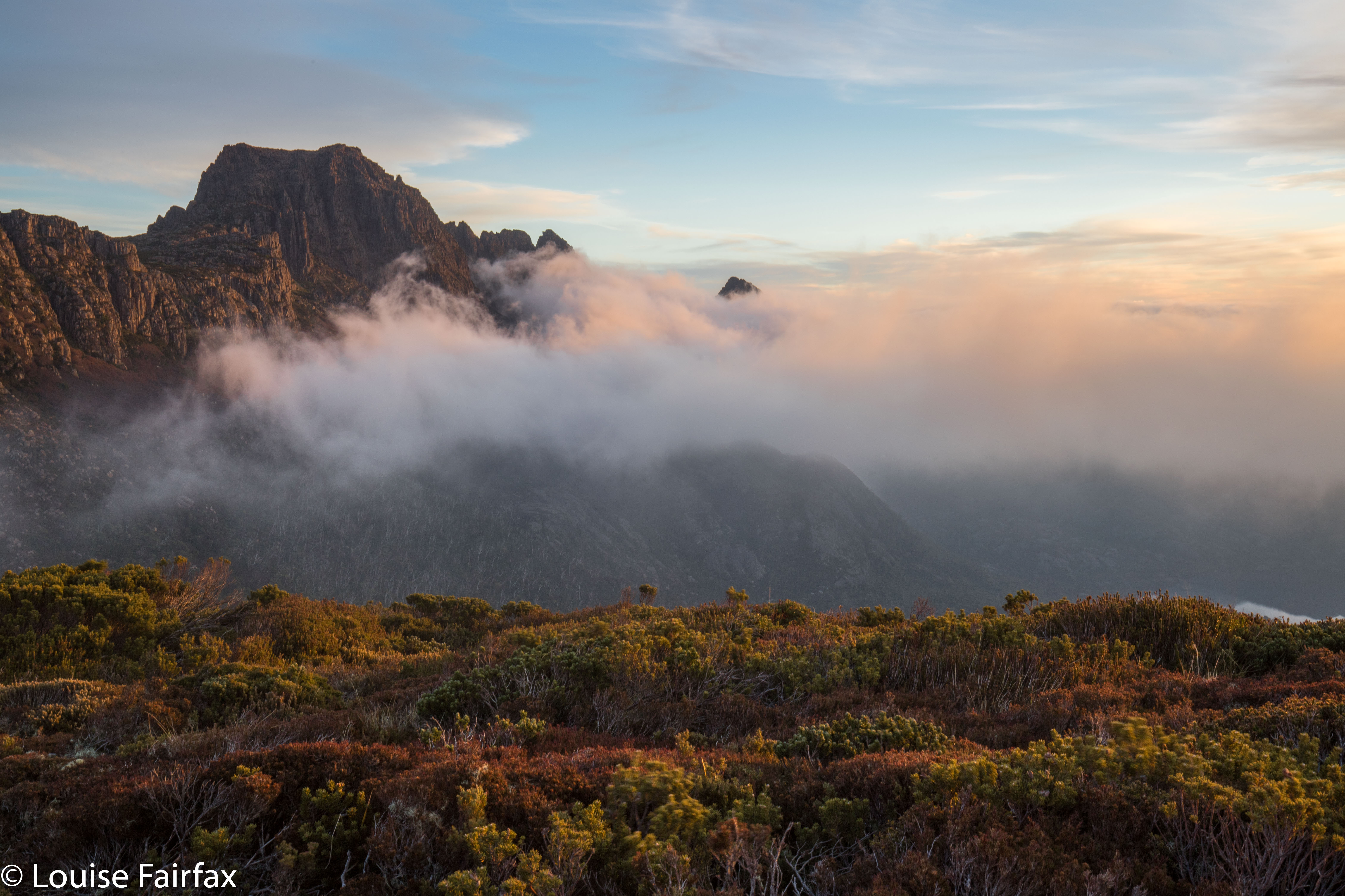
Pelion West and Ossa floating above the clouds.
“Hey mum”, said Kirsten, “Let’s climb down the mountain to our packs, eat, and then bring our stuff back up here to sleep.” (We’d left our packs at Rodway Hut far below.)
How I love my daughter!!!! I don’t know anyone else in the whole world who would say that to me. To say that, you need to love nature so much you’re willing to do it; you need to be fit enough for it to be a possibility (we’d already had a very full day, as you might imagine); and you have to be as zany as I am. Who else, but a daughter?
“Yes, yes. Fabulous idea”, I enthused.
Now, the job of descending from this realm of beauty was less depressing. We’d be back in a few hours.


Back at Rodway Hut (where it was surprisingly cold inside), we cooked and ate dinner, packed our stuff back in the packs, and off we set up the mountain for the second time that day (having driven from Launceston that morning). We left the hut about 7.30, torches on and climbed through the moody rainforest, with patches of silvery moonlight casting shadows every now and then.


When we arrived back on top, despite now being much higher, we were a great deal warmer than when we’d left the hut. Climbing had warmed us up so nicely, we could pitch the tent without frozen hands (yet). It was so beautiful, with a star-studded sky, we barely had time to even ponder the extent of the chill enveloping us. As per our previous adventure together at Easter, (see my blog on Mt Sprent), we squished both of us into my solo Hilleberg tent. THAT warmed us up, definitely. We made sure we put our water under our sleeping bags so it couldn’t freeze overnight, had one last gaze at our starry environs, and turned in for the night. It was cosy, to say the least.
“You wouldn’t want to do this with someone you didn’t like”, I mused, before we closed our eyes to sleep.

Sunrise was predictably lovely, although the cloud bank to the east prevented the rocks turning orange as the sun rose. Mist enveloped us completely from time to time.
We were pretty cold after the photo session. My feet were numb, but that didn’t stop us breakfasting al fresco. The day morphed into a cold, moist one. We didn’t care. We were buoyed by the beauty of the preceding sixteen or so hours since sunset had begun, and by the wonderful feeling of having been in the wilderness together.

Reuben Falls 2018 May

Reuben Falls May 2018.


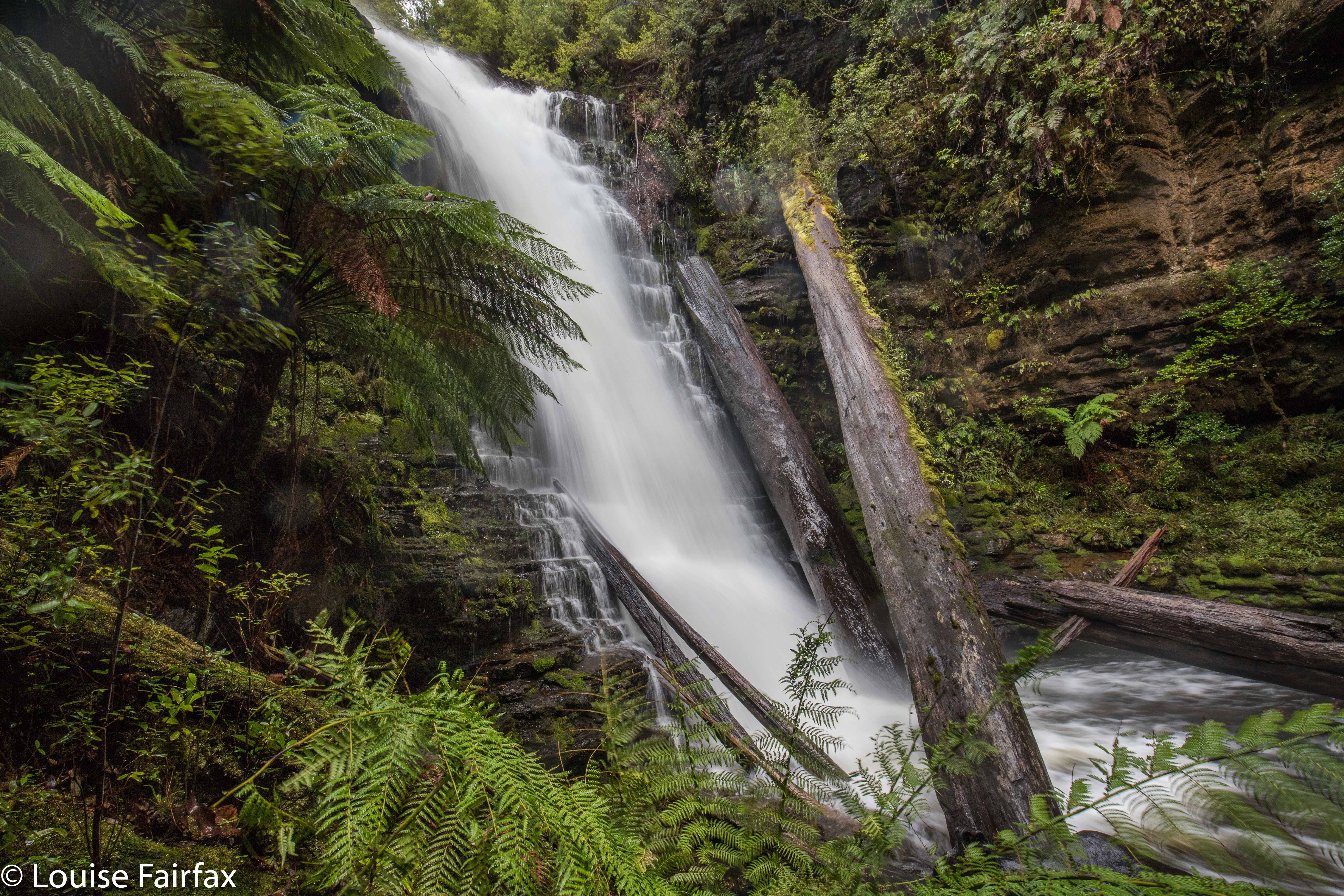
Because the Reuben Falls have a track to them, and thus seem relatively straight forward, I was less excited about seeing them than the Weld Angel Falls that we visited in the morning – but that was silly. Isabella Creek, which does the falling to create what we were visiting, was a truly beautiful gurgling mass of rushing white and tan, wending its way through a fairy forest of moss and lichen, appearing and disappearing as we wended our way along the tastefully narrow track – a rich dark brown of forest humus turned to the best possible soil – to our goal. The walk was not long – only 25 minutes there; 27 mins back – and the steep drop had no real adventures contained within, so it was not long before we were at the base.


Now the problems began. It was raining. The falls were booming and rushing with a large volume of water, creating both a breeze and a spray. I decided against any kind of front-on shots, so started clambering over very slippery bits of fallen trees trying to get an angle that didn’t involve wetting my lens (or me, but that is less important), and that was not filled with debris, which is not exactly picturesque. Shooting was very tricky. I tried to line up the angle I wanted without removing the lens cap (so as to keep the lens dry). I opted for fast shutter speeds with the same end in mind; took the photo as quickly as possible, took in minimal feedback, and repeated. I have an umbrella that I keep in my photo pack for situations like this (although the frontal attack from the falls is hard to manage, even with my trusty umbrella), but I had left it accidentally in the car, as I was using my “long distance” pack, which is more comfortable, and better for bushbashing, as it was needed for Weld Angel Falls. I tried to dry the lens in between shots and, as said, have them unprotected from the spray for as short a time as I could manage. I kept thinking: “This is good practice for Iceland, Louise. Get used to it.” I’m off there in less than a fortnight. I can’t believe it. Anyway, at least I go there with a good lesson in rain photography as a preparation.


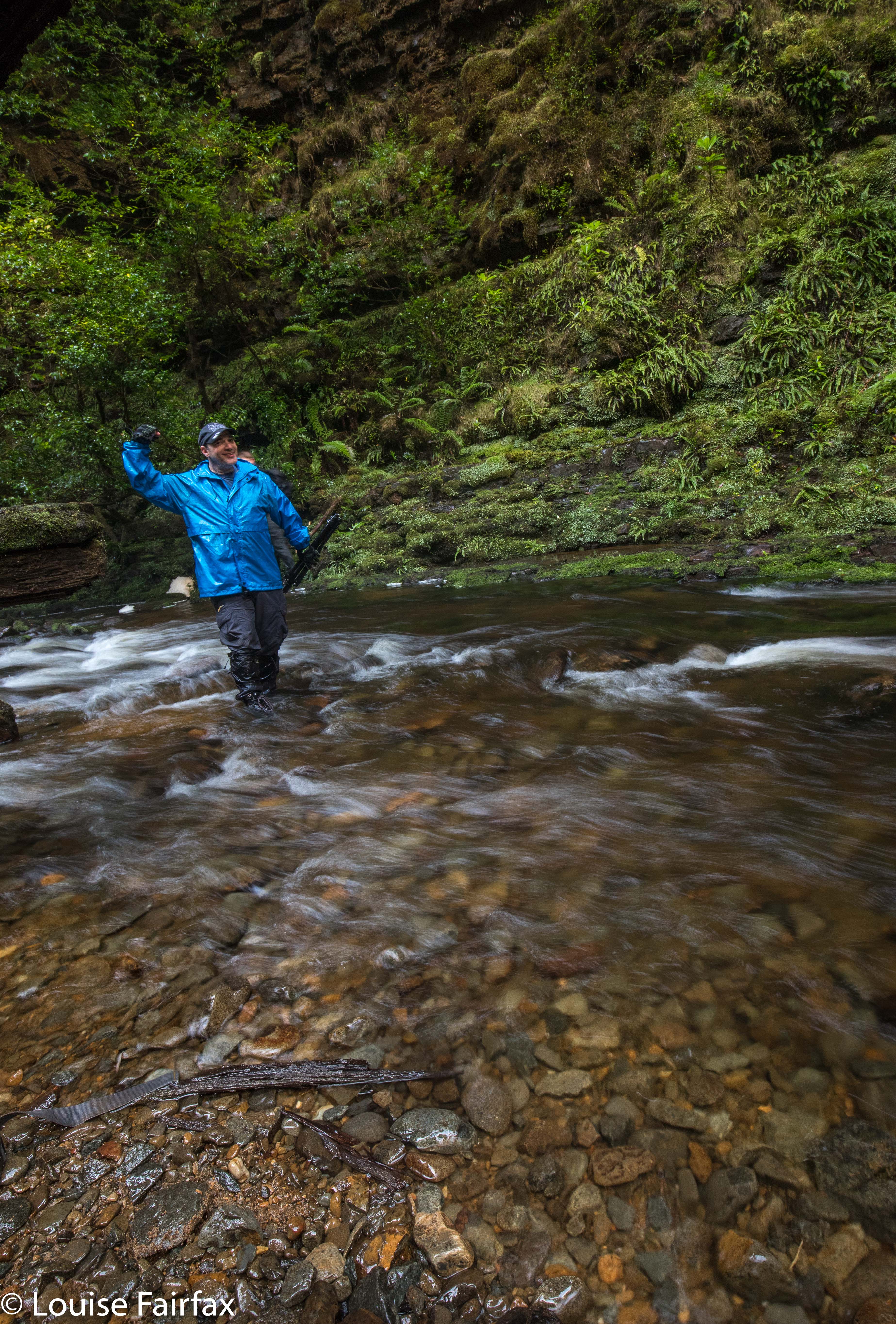
Craig was already soaked. Might as well cross the creek and clinch the deal. He looks triumphant about something. Maybe he’s just plain happy to be there.
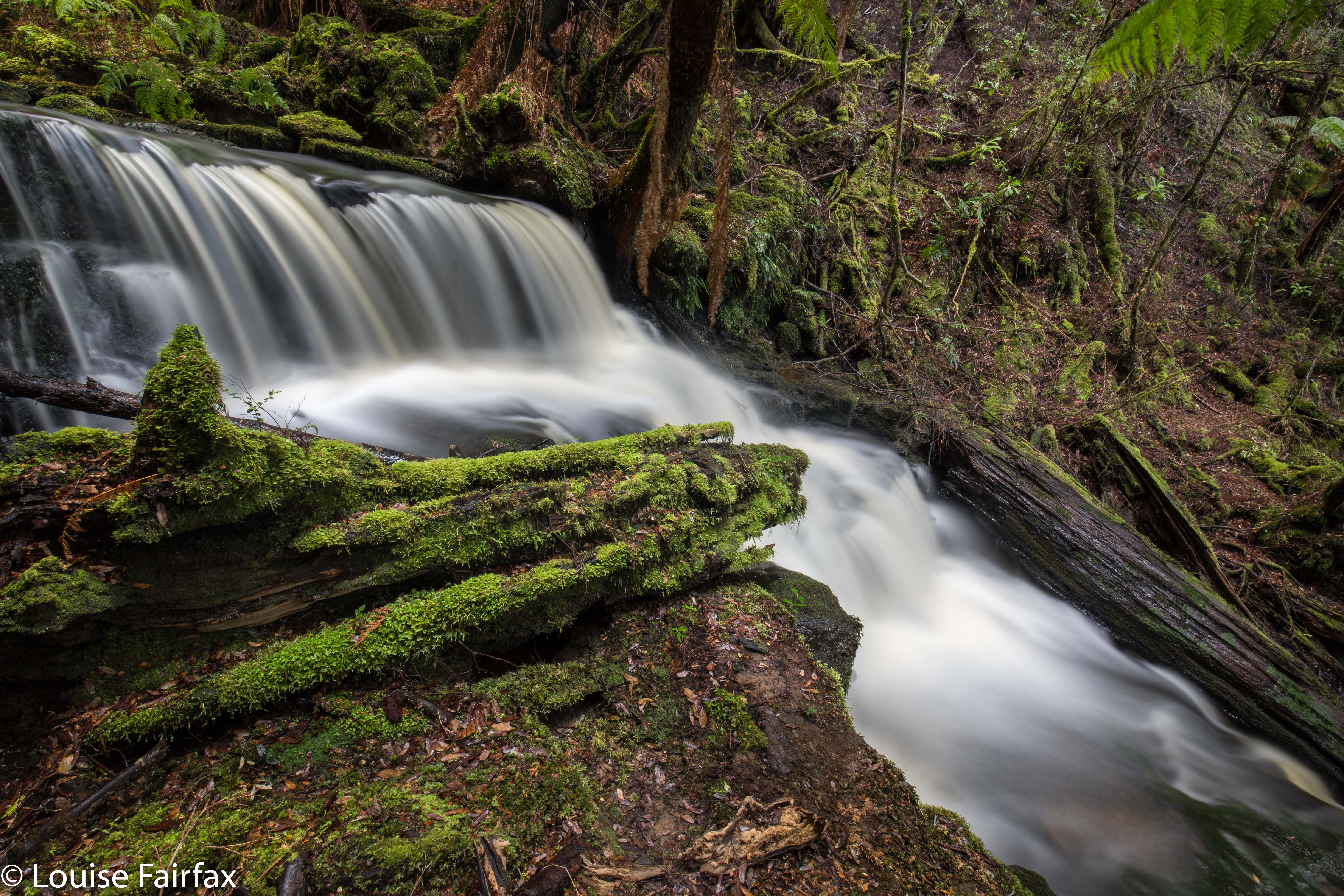
But meanwhile, I need to revisit the Reuben Falls so I can have time to explore Isabella Creek at my leisure and hopefully find them under lightly easier conditions. Here are some of my better attempts from this time.
(For instructions to the start, see my blog www.natureloverswalks.com/weld-angel-falls/  . Both Falls have the same parking spot and, thus, driving instructions.)

Weld Angel Falls 2018 May

Weld Angel Falls 2018 May


I loved climbing Mt Weld a few years ago, remembering the forest as being particularly lush and green, and full of beautiful fungi. I was really looking forward to visiting the Angel Falls, or, the Weld Angel Falls as Craig Doumauras of the Waterfalls of Tasmania website likes to call them, to distinguish them from the Angel Falls that are below Mt Sarah Jane near Mt Anne. It’s good to have two different names to avoid confusion. Besides, the Weld Angel wasn’t just any old angel: she was specific to the Weld area, and to the battle to preserve it from the axe, so why not call her by her full name. The falls are just a nameless line on the map, so there is no official name at this stage. The creek they are on is also nameless – an anonymous tributary of the beautiful Weld River running at right angles below.  Imagine being that beautiful and still lying in anonymity.


I had read Dennis’s blog in https://hikinginsetasmania.blogspot.com/ and marked waypoints on my phone map in readiness for when I would go one day. The big drive put me off. It’s a long way from Launceston. Eventually, Craig and I agreed to go to coincide with a conference he had in Hobart. That way, I would only have to do the Launie to Hobart section of the drive. Yippee. And Craig and I always have fun when we waterfall bag together. Meanwhile, a new ingredient was to be added to the stew: southern waterfall bagger extraordinaire, Caedence Kueper, was to join us as well. Three waterfall maniacs in the one car. Would it cope? It belonged to Craig, so it had to be used to it.


We turned off at Geeveston (having become a trio at Huonville – following coffee stop number two within the confines of an hour), travelling towards the Tahune Airwalk on C632, Arve Rd. However, we didn’t continue left down Arve Rd near the Walk, but went straight ahead on a road, Southward Rd, that seems to go forever, and turned around many times. We crossed the Huon River while still on this road, but not too long thereafter, turned left onto Eddy Rd, Next turn was a left again, this time onto Fletcher Rd, and we were on this to cross the Weld River. Fletcher Rd eventually comes to a T-intersection, where we turned right onto South Weld Rd, which takes you eventually, if you are very patient, to a collapsed bridge and whopping hole in the road. Do not even think about following these instructions without a gps device. You won’t find cute road names out there. I’ve given you names to help you read the map.
There’s a little shelf that you can walk along to get past the humongous hole that stopped you driving any further. I like looking down and seeing the creek (Isabella Creek) rushing far below.
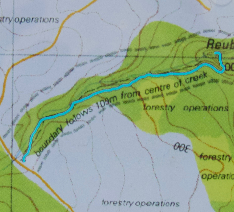
This walking part is the same as the route to climb Mt Weld. After 1.3 kms, however, we diverge right off this forestry road, in favour of a different one, now heading NNE (see map below). Where that path does a dogleg to the left (after maybe 1 km) on the map below, there is a clearing made of piles of felled timber, surrounded by regrowth – but it’s not too hard to get through. If you go over some of the logs until a path comes in off the right, and head left (W), then you’ll pick up some faded tapes that lead you through the mess until you get back to unfelled, unrefined rainforest, when you can take a deep breath and start to enjoy yourself again. You are now in heaven. As you can see from the map, you stay roughly on contour, cross a creek, go to the turning point of the spur and head down steeply north to the falls. You are now at the top. Good luck if you want to go to the bottom. It’s very steep and enormous care needs to be taken if you don’t want to ruin the forest or your own body. My rule (apart from the regulation not to go destroying moss, ferns or other aspects of beauty) is to never go down what you can’t get up. Sliding and hoping can lead to trouble. It can also cause a mini destructive landslide as you lose control.


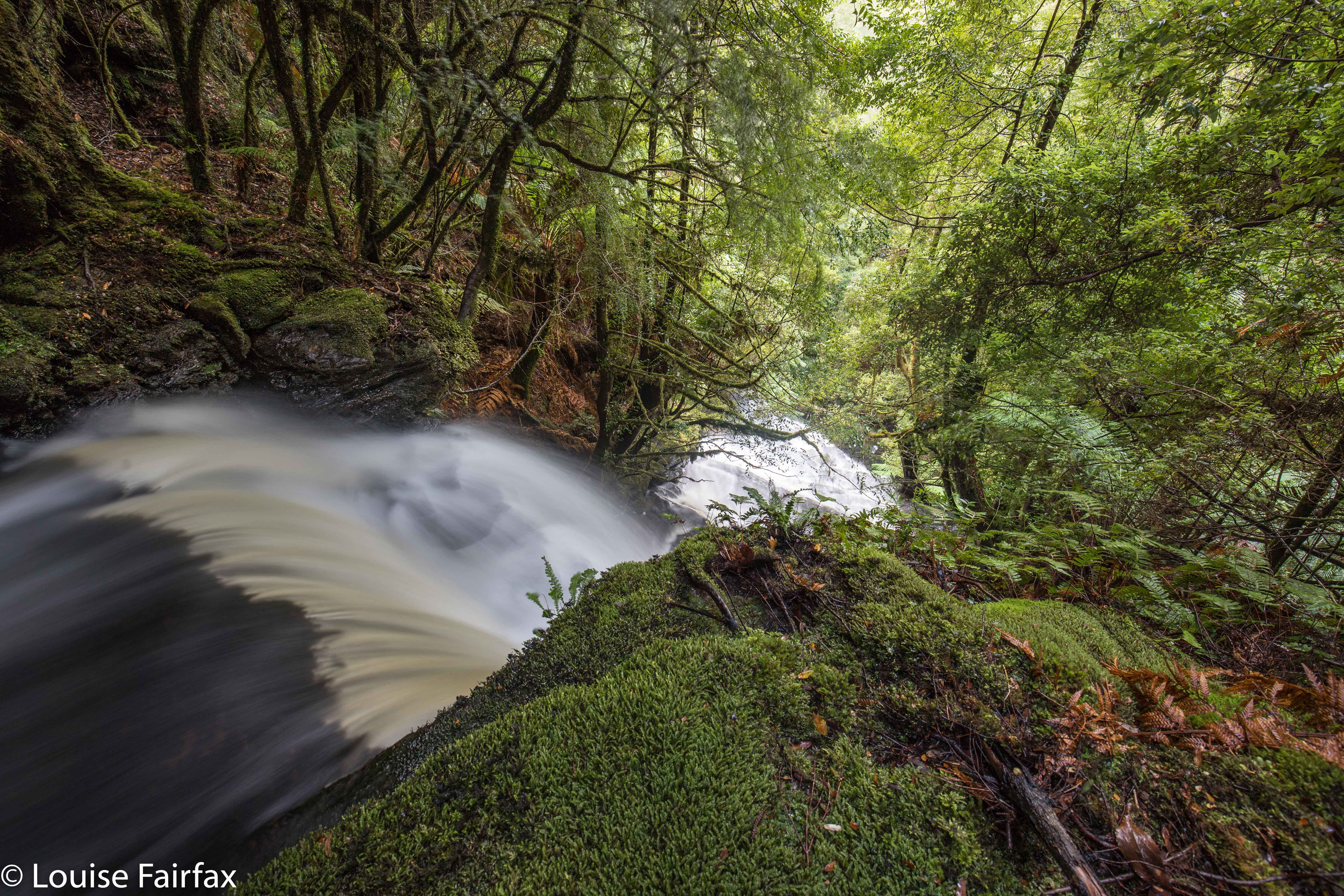
I actually loved the top of the falls more than the base, but both were well worth the visit. It was hard, however, to get an angle on the angel down the bottom, as there is a lot of debris at the base, and the fact that it was raining lightly, and that everything was wet and slippery didn’t help our cause. We had lunch in the forest back up the top, eating and chatting before moving on to our next waterfall for the day, Reuben Falls, a much easier one than Weld Angel Falls: it has a track. I like to do the harder one first; I find the harder ones more interesting anyway. Challenges are more fun than ease.