Myrtle Gully Falls 2018 May

Myrtle Gully Falls 2018 May


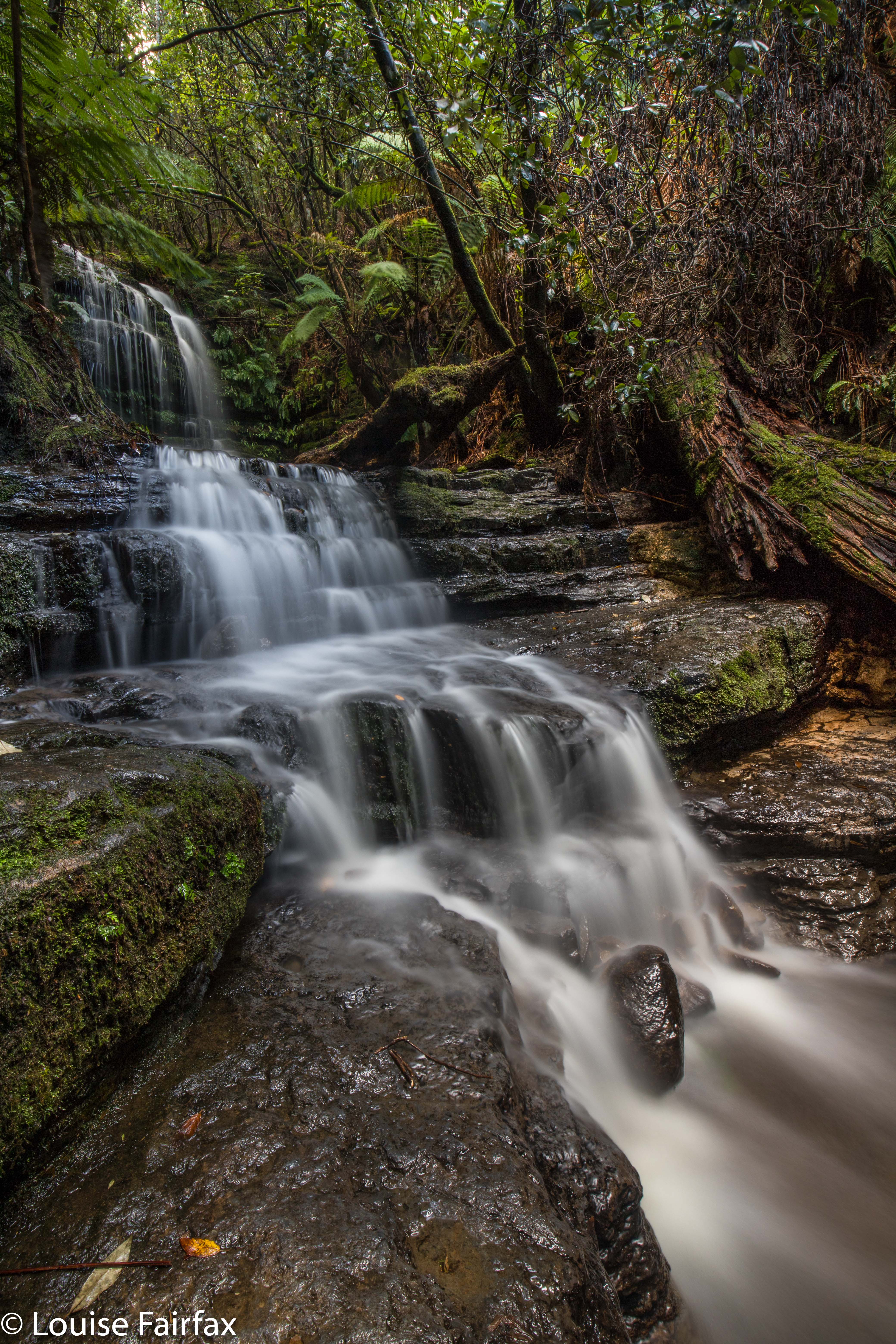
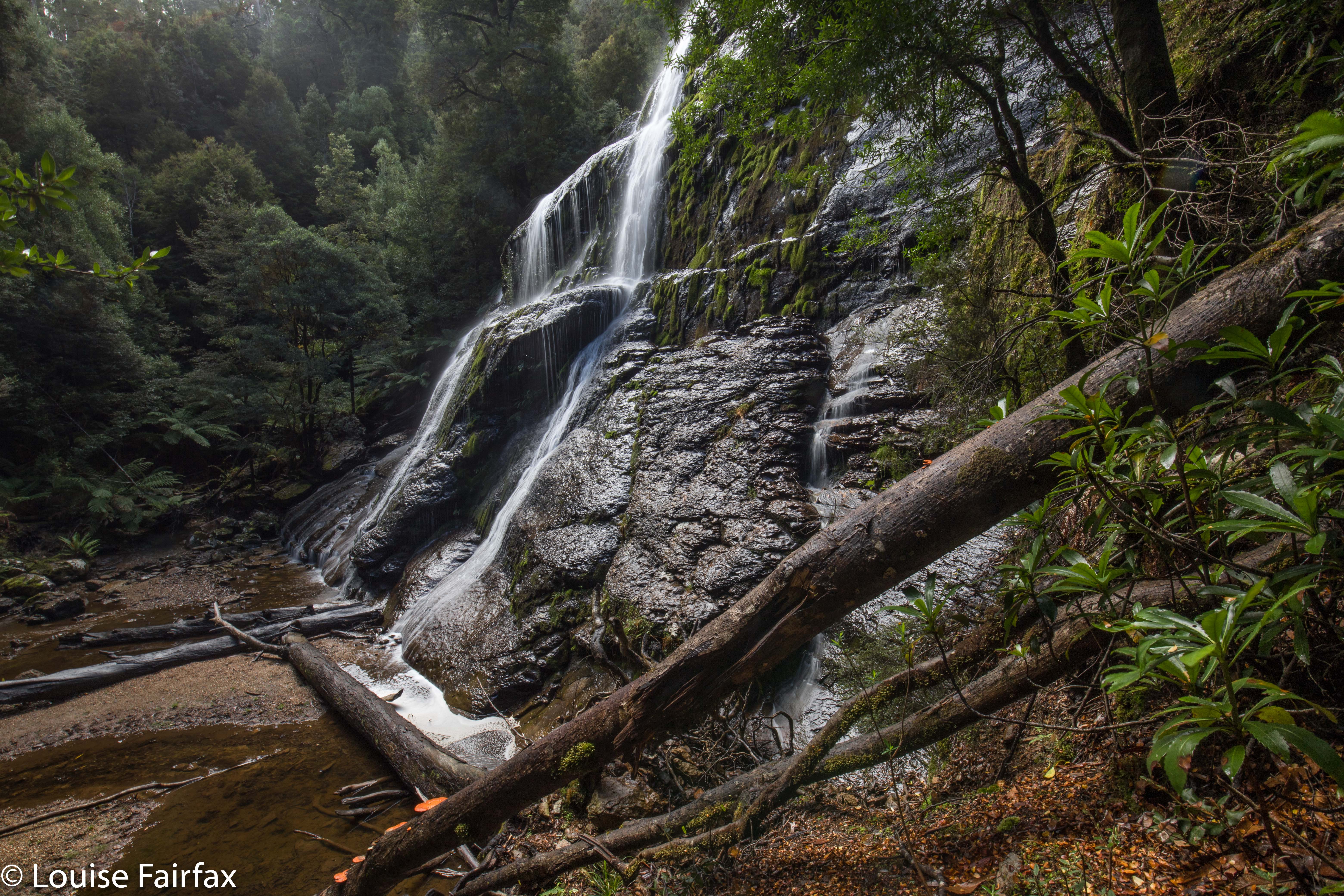
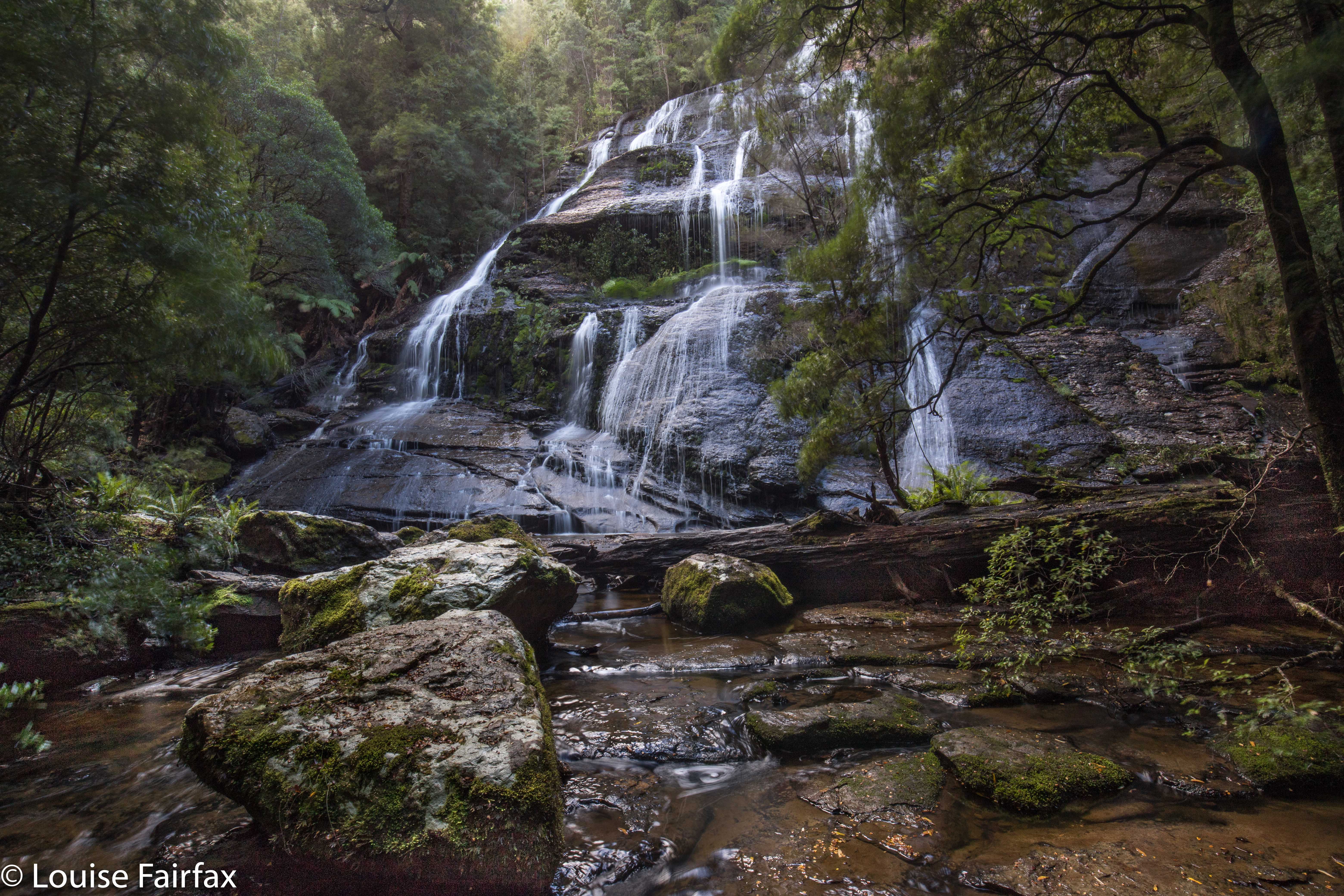
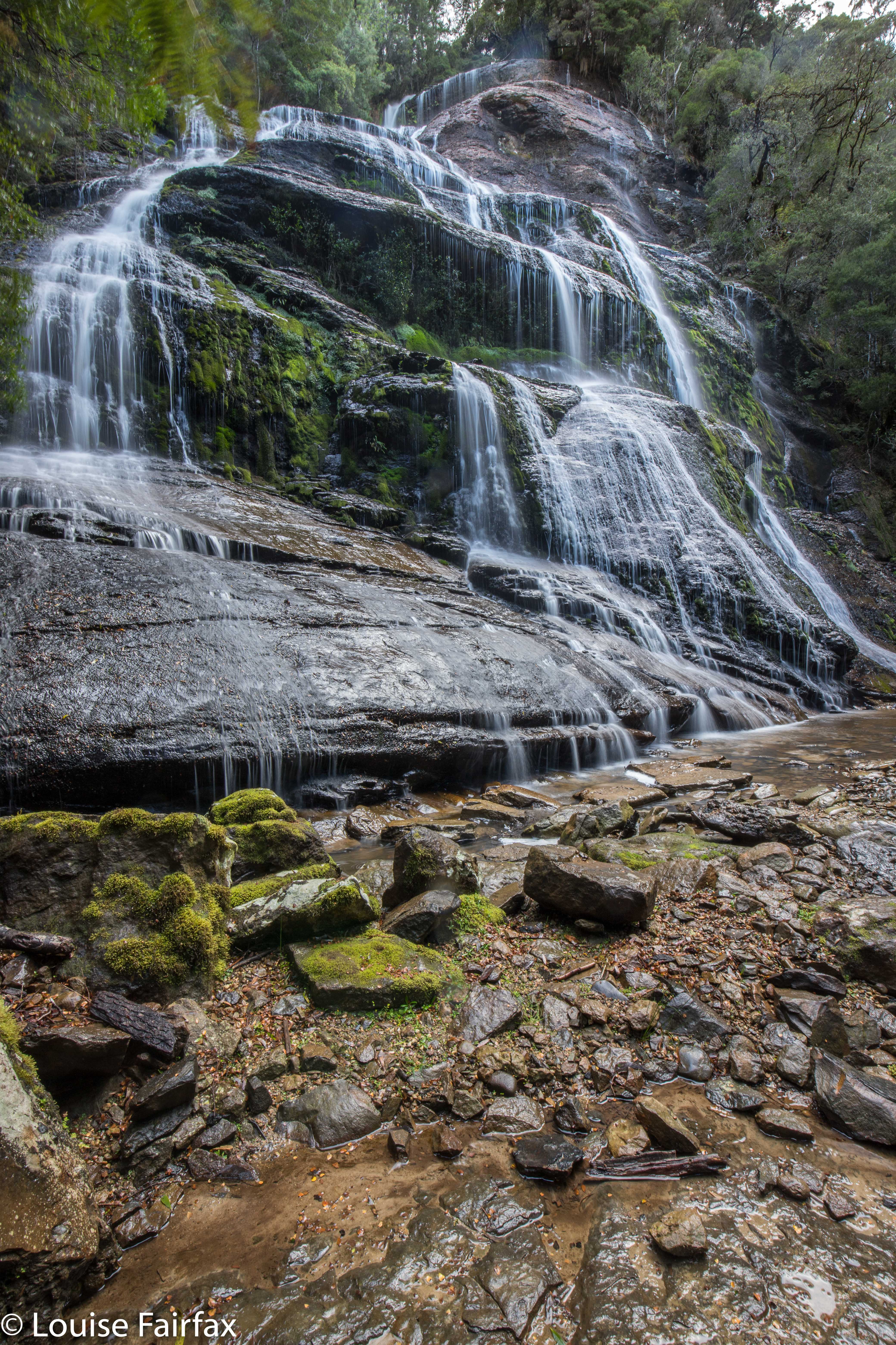
This was my third visit to Myrtle Gully Falls, but the first time that I have found any water worth finding, and thus the first time I have seen them looking like a waterfall rather than a dainty and elegant trickle. I loved them today. Thank goodness I was scheduled to be in Hobart on a “good water day” (much better than a “good hair day”).


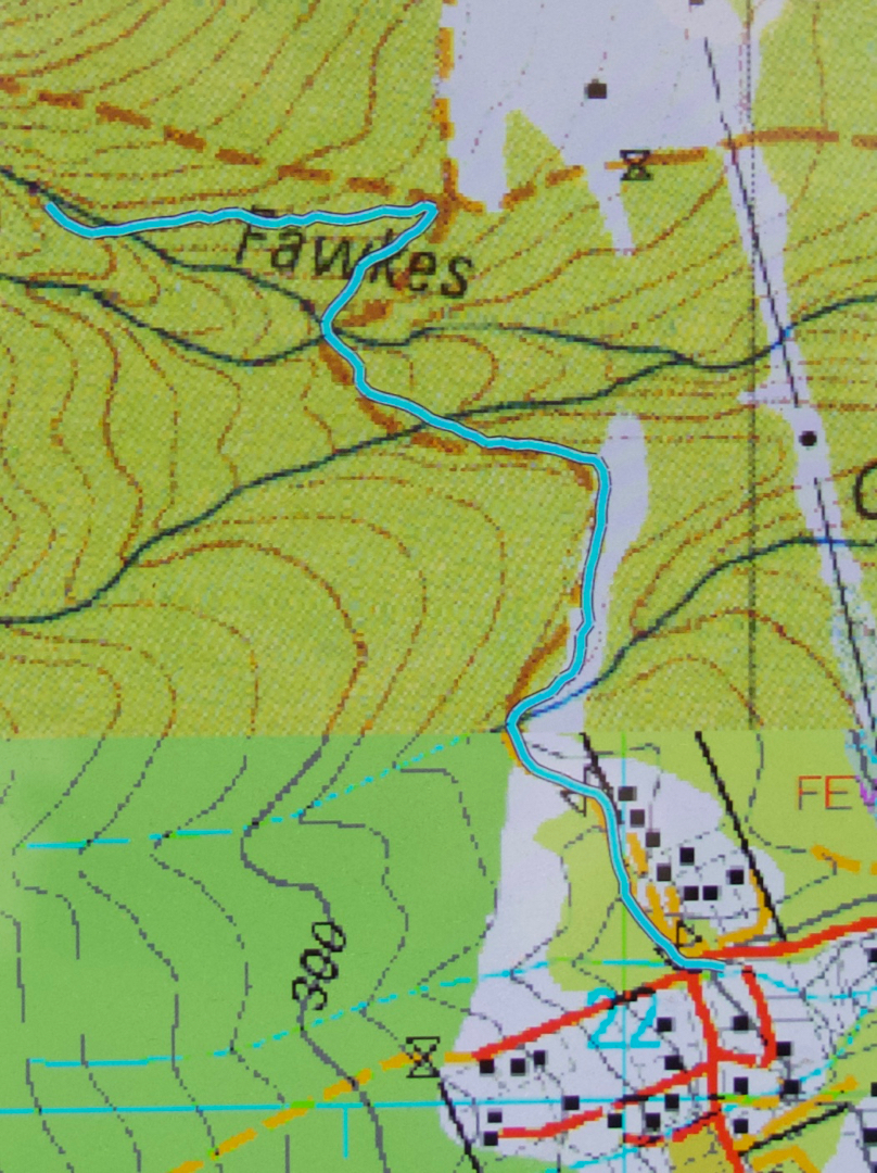
The walk is not long at all, so barely constitutes exercise, but is a nice little hike, nonetheless, even if the duration is rather short (I took eighteen minutes in each direction). I began at a right-angled bend on Strickland Road (the main road curves left going up the hill; I went through a gate, and followed a dirt road slightly uphill). It is signed as “Main Fire Trail” and leads up and down three times until it intersects with another trail that you see coming in from below right before you see that it continues up the hill (Guy Fawkes Track). Head left up the hill, and soon enough, this small path through lush green forest with moss and tree ferns swings back towards the creek that contains the Myrtle Gully Falls (Guy Fawkes Creek). The path crosses the creek at the falls. It is lush and peaceful, and a lovely place too spend an hour or so.


Apparently this waterfall is about to get a new, aboriginal, name. When it does, I will add it in here, but as web information and local lingo both use the traditional name of Myrtle Gully Falls, I will not be deleting the old name. It may not be on the LIST map, but it is the name by which the falls are known at present. We can’t communicate with each other if we don’t call things by the same name as each other. We will enter a period of transition when the new name comes into being, as people will still continue to use the name they have always known, even if DPIPWE has not chosen to bless it by putting it on the map.

Disappearing Tarn 2018 May

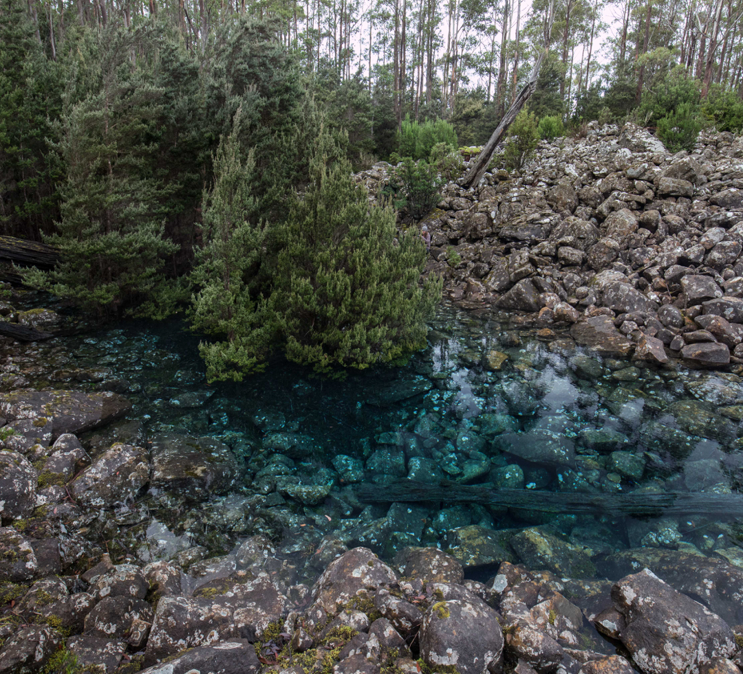
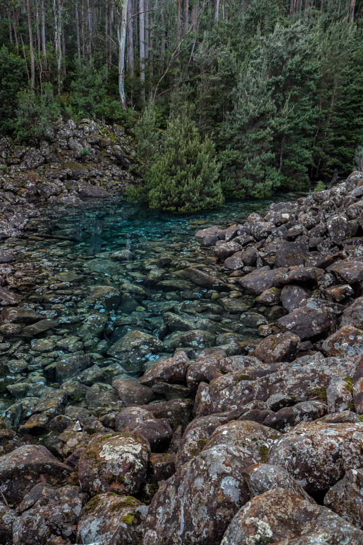
Disappearing Tarn on Kunanyi / Mt Wellington. May 2018.


Why were so many people gathered at Disappearing Tarn on Friday morning, when Kunanyi / Mt Wellington had been declared closed, and when bulldogs were guarding the road that gave the easiest approach (the one to The Springs), just to make sure the citizens didn’t get to enjoy this intriguing and beautiful natural phenomenon? Why were we so very rebellious? And why was everyone I spoke to so particularly antipathetic towards their local politicians? Being a resident of Launceston, I don’t hold the particular gripes ailing the Hobartians at present, but I do utterly loath the fact that my country has become a Nannyland, where people in local and regional power opine that they have the right to think for me, and where I am thus reduced to the lowest possible common denominator of intellectual and physical capabilities; when I am disallowed from activities or sights (and sites) because they would harm Jo Blogs, who can neither walk nor think, and who has utterly no discretion, judgement, or personal responsibility. If I want a nanny or a mother, I’ll go get one of my choice. Such a person would be wise, informed and intelligent. I do not want to be told how to be human by a bunch of pretenders who have risen to power because the indolent population voted for free beer on Sundays.


The worthy citizens of all ages, shapes, abilities and sizes had made the monstrous effort of getting there not just to be rebellious, however (I am sure). I presume that lying beneath that refusal to be told what is and isn’t dangerous or worth their attention, lay a genuine desire to see something amazing and beautiful. The very ephemerality of this tarn – its cute disappearing trick – no doubt kindled our desire not to delay in the slightest. And, of course, it isn’t just that a tarn materialises for a while and then vanishes, but we wanted to see the wonderful colour of this tarn, lying innocently up there amongst the rocks, supporting a dainty grove of trees. What do we call this blue? If you research shades of blue in the web, no two sites seem to agree on the shade of any particular name. I am hoping that cobalt or lapis do the trick. You can see my photos and name the colour for yourself. Any offerings in the comment section will be appreciated.


In terms of getting there, by the time this is published, the mountain will probably be opened again, and the tarn may well have also vanished. I will publish my route so that if conditions repeat, you can use the same one if you sneak past watchful cerberus characters down below. It begins with a very steep walk straight up the spur from Fern Tree to The Springs (which took me 27 mins with my camera gear). One then follows the Milles Track, roughly on contour – but don’t get excited; it  makes up for being flat by being very, very hazardous underfoot, with sockerball, football and potato mini-boulders to work around or trip on – heading for signs that say “Wellington Falls”. After 52 minutes, the tarn was just above me. I couldn’t see it, but I could see a depression in the rocks, suggestive of a tarn, and, perhaps luckily, two people heading down that way, so that clinched the deal. I didn’t bother checking my gps; I just followed them. I had driven down from Launceston, and refuelled at Daci and daci to compensate for the early breakfast,  so didn’t get started until 10 a.m. This meant that, as usual, I got very hungry, as the place begged you to stay a while, and the people there were friendly, and had plenty to discuss (politics).


Holwell Gorge Falls 2018 May

Holwell Gorge Falls. May 2018
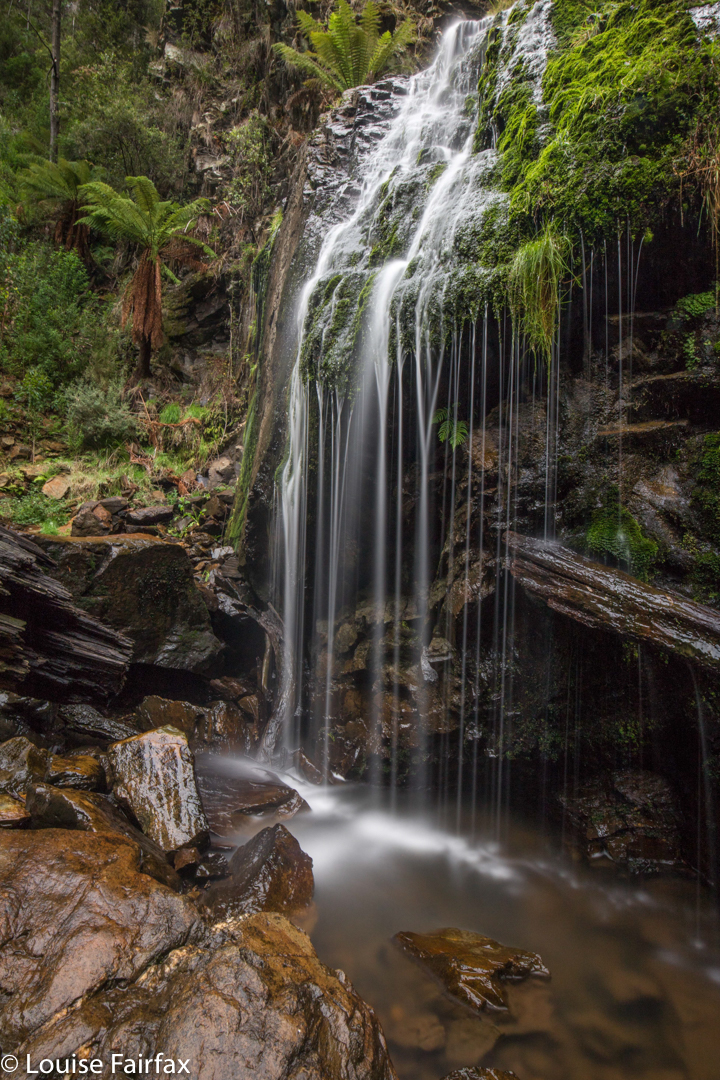

Why would I choose to “attack” the Holwell Gorge Falls from the distant northern end, rather than the closer, easier, southern option? Because I am not interested in “efficiency”, but in beauty, and in “bang for my buck”, or, perhaps more nicely put, a good drive to walk ratio, which tips the scales as much as possible in the direction of walking. I love exercise and walking through magic, lush forests full of fungi beside streams of astonishing clarity. Why on earth would I go for the quick option? In addition, the one time I visited the southern end (just to above the falls), I found that the greater height meant that the forest was dry sclerophyll, and the mosses and fungi I so love down lower were not present.
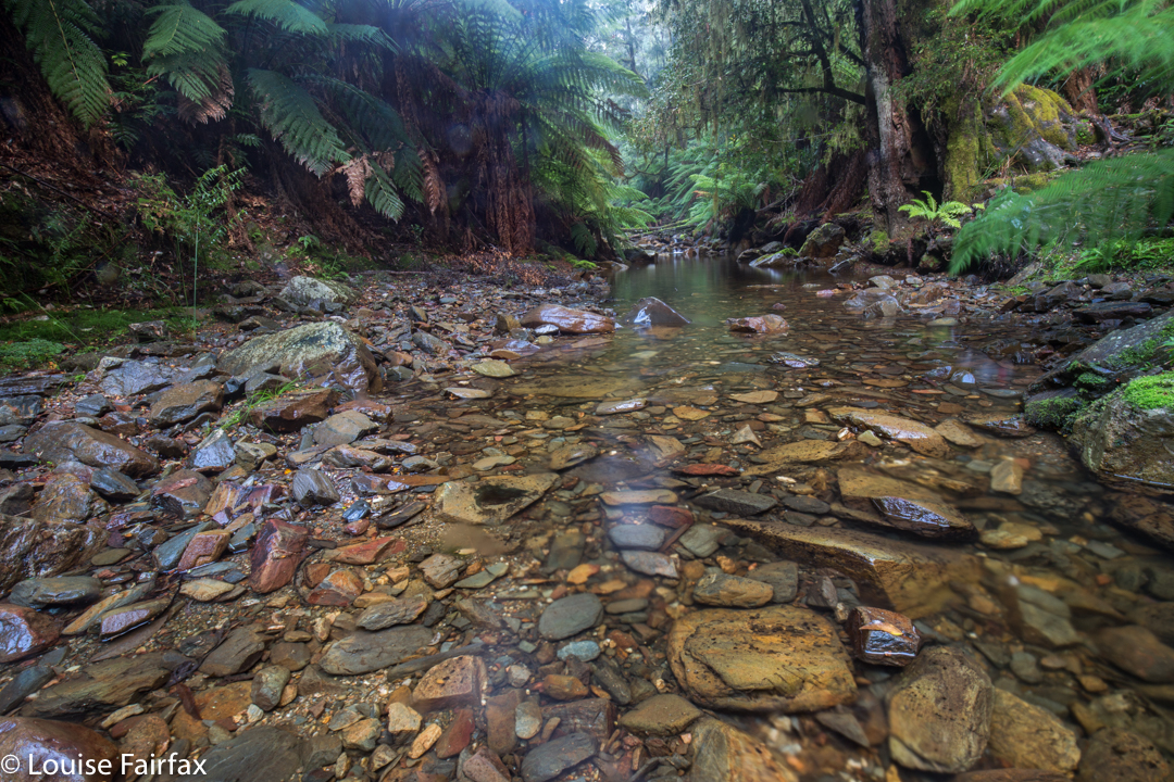
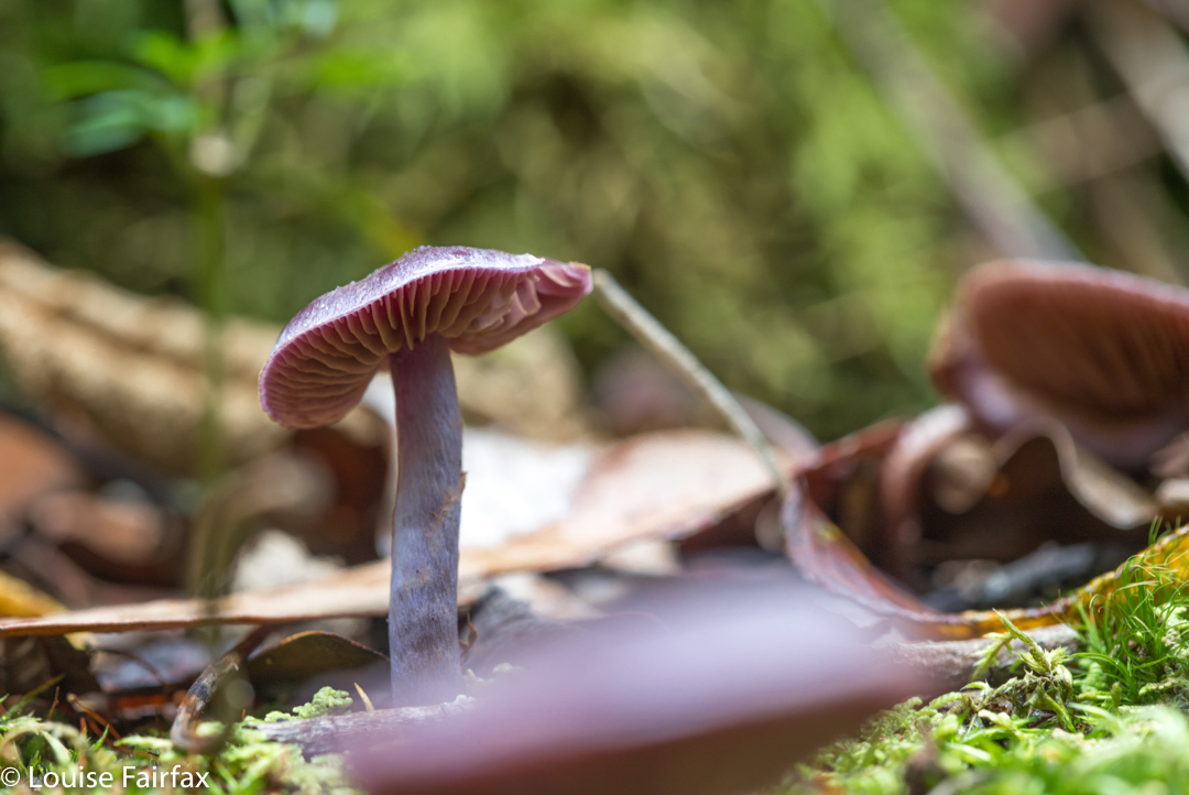

I have wanted to visit the Holwell Gorge Falls for a year now, having visited their northern brother, the Holwell Falls, a year ago. I have been impatiently waiting for enough rain to engender some flow, and for the right opportunity.  At last, today, it came. Or, I thought I had a sporting chance, let us say. I knew the early section very well, so marched through it in 11 minutes. Now came a sign that told me the upper falls, the Howell Gorge Falls, were 40 minutes return. DO NOT believe this sign. If you read my blog regularly, you will know that I am not a slow walker. I took 41 mins ONE WAY to reach the upper falls. This sign is very misleading, and it meant that I got very hungry, as I wasn’t expecting to take so long, and if you read this blog, the other thing you will know about me is that I get hungry often and quickly, and get quite desperate for food once hunger hits.


All the dire warnings about needing experience should be reserved for this second section. Once you are past the Holwell Falls, you lose your manicured highway, and encounter a track that can be, at times, downright dangerous. I was climbing over logs that were fat and slippery, and that didn’t always have anything to stop me should I start sliding downwards. I’m sure if you were taller, with longer legs than mine, it might be easier, but I was uncomfortable about being solo on one or two occasions when straddling an overweight, sloping log with nothing to hold on to.  There was one section where I even feared for my continued existence, where I had to sidle along a ledge with nothing to hold. The ground under this ledge … did not exist. It was like a tooth with a gaping cavity. I hoped against hope that the unsupported earth wouldn’t collapse under my weight. Whew. I got to the other side; however, on the way back, if you look at my map, I chose to stay in the creek bed rather than trust fate twice running. The odds were too heavily stacked against me.
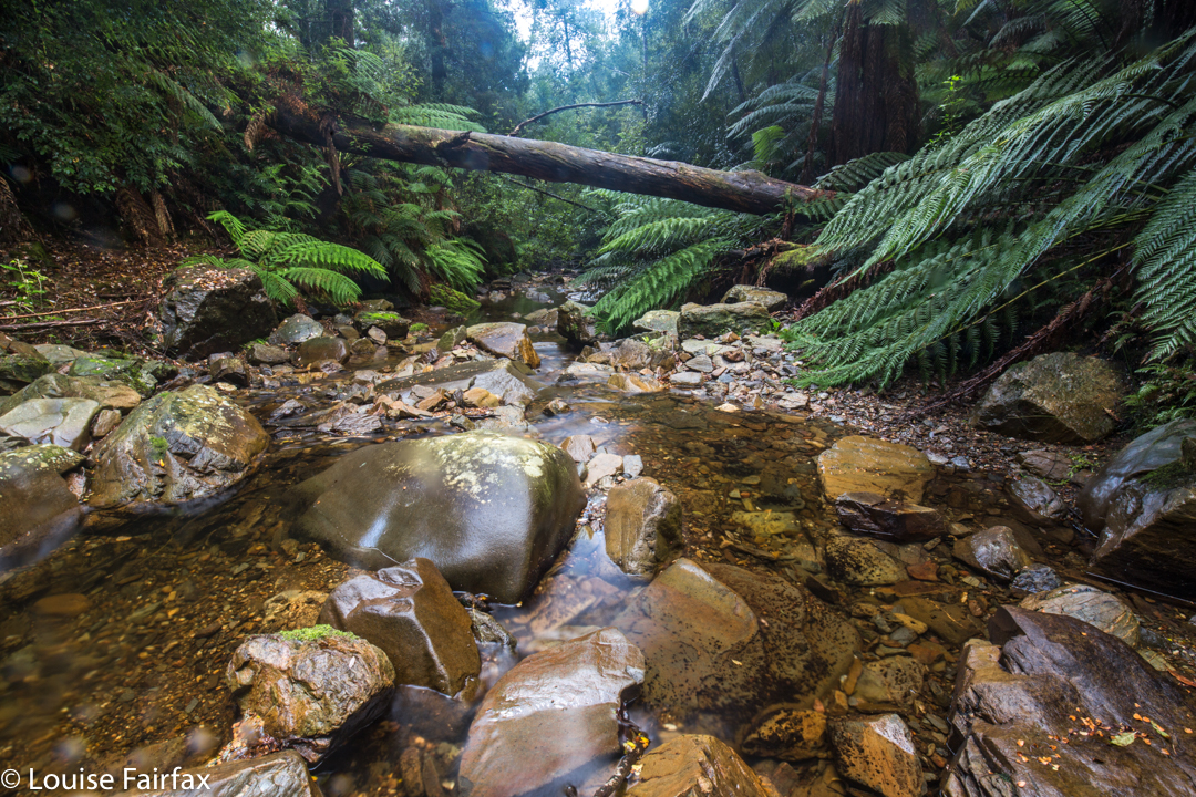

The sign said 40 mins return. Elementary pre-school maths says that means roughly 20 mins in each direction if you walk at “sign speed”, which translates to about 15 or so for me. 15 went by. 20, 25, 30. Had I missed something? I got out the map to check. Na. I still had at least 600 ms to go. Hm. I’d be lucky to do one way in 40, let alone there and back! Panic hunger began. Lunchtime would find me at the waterfall, not at my car. Anyway, the scenery was superb, and the gymnastics needed to make progress, somewhat diverting, so on I pressed. Hundreds of fungi and countless moss and lichen specimens later, I finally arrived. I loved the end result, and took a long time enjoying the area.
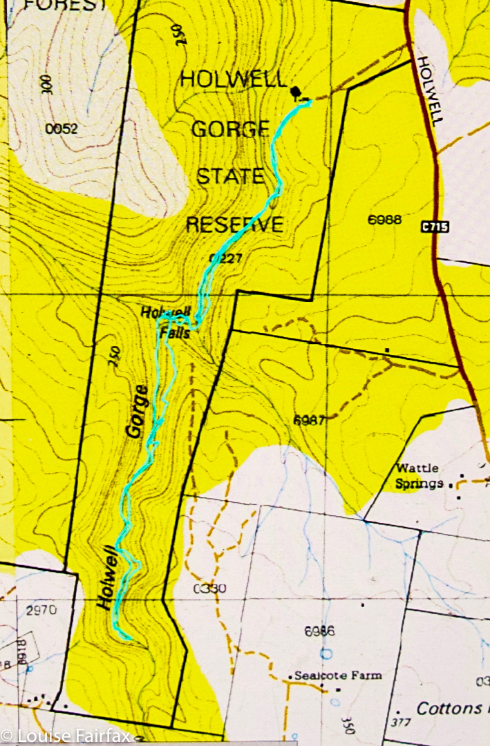

The way back was faster than the way out – a neat, round 40 minutes – as I was rushing, and I knew more what I was doing now I had a modicum of familiarity. I avoided the deadly ledge by staying in the creek, thereby, unfortunately, missing my very favourite fungi that I had saved for the return journey. Oh well. I got back to the car before I fainted from hunger, and drove home in 34 minutes. That makes this the closest waterfall to my house, I believe. I’m so glad it’s so very well worth visiting. Lillydale Falls are possibly not much further, but with only a five-minute walk, they hardly justify the drive.

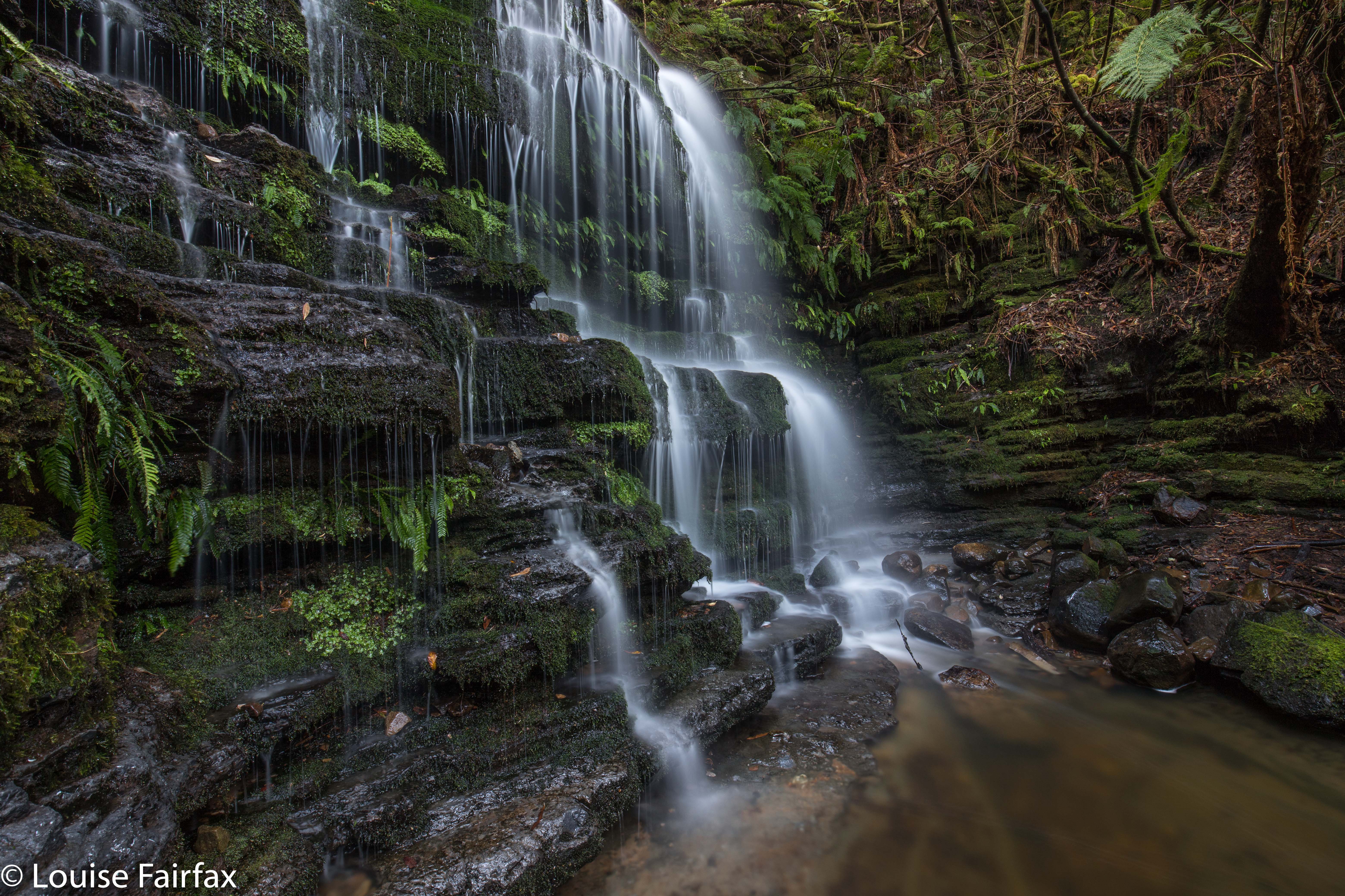
McGowans Falls 2018 May

McGowan Falls, May 2018.

I had for some reason expected McGowans Falls to be a little like Lillydale or Liffey Falls, with signs, paths, picnic tables and so on. I was thus rather  surprised to discover that there was not one single direction post to the falls, no road names to give you a clue where you were, just in case you had doubts, and no “arrival status” save for a little cairn with some adorning pink tape. (Not necessarily complaining: just noting. I neither want nor like infrastructure at my falls). If you look down the track, you can see some orange tapes for variety, and even two discarded beer cans hanging in trees in the first three metres to alert you to the fact that you are there.

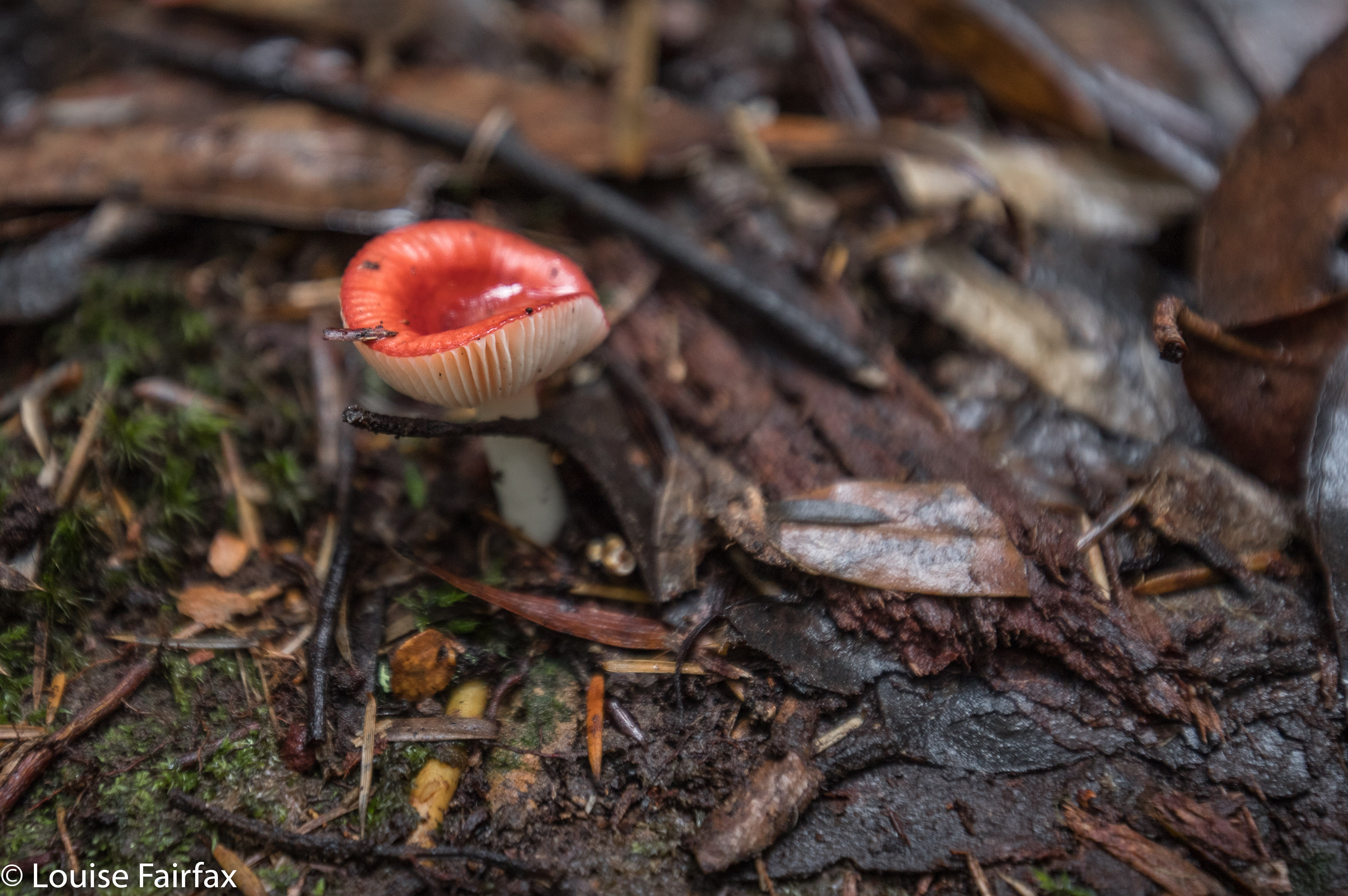
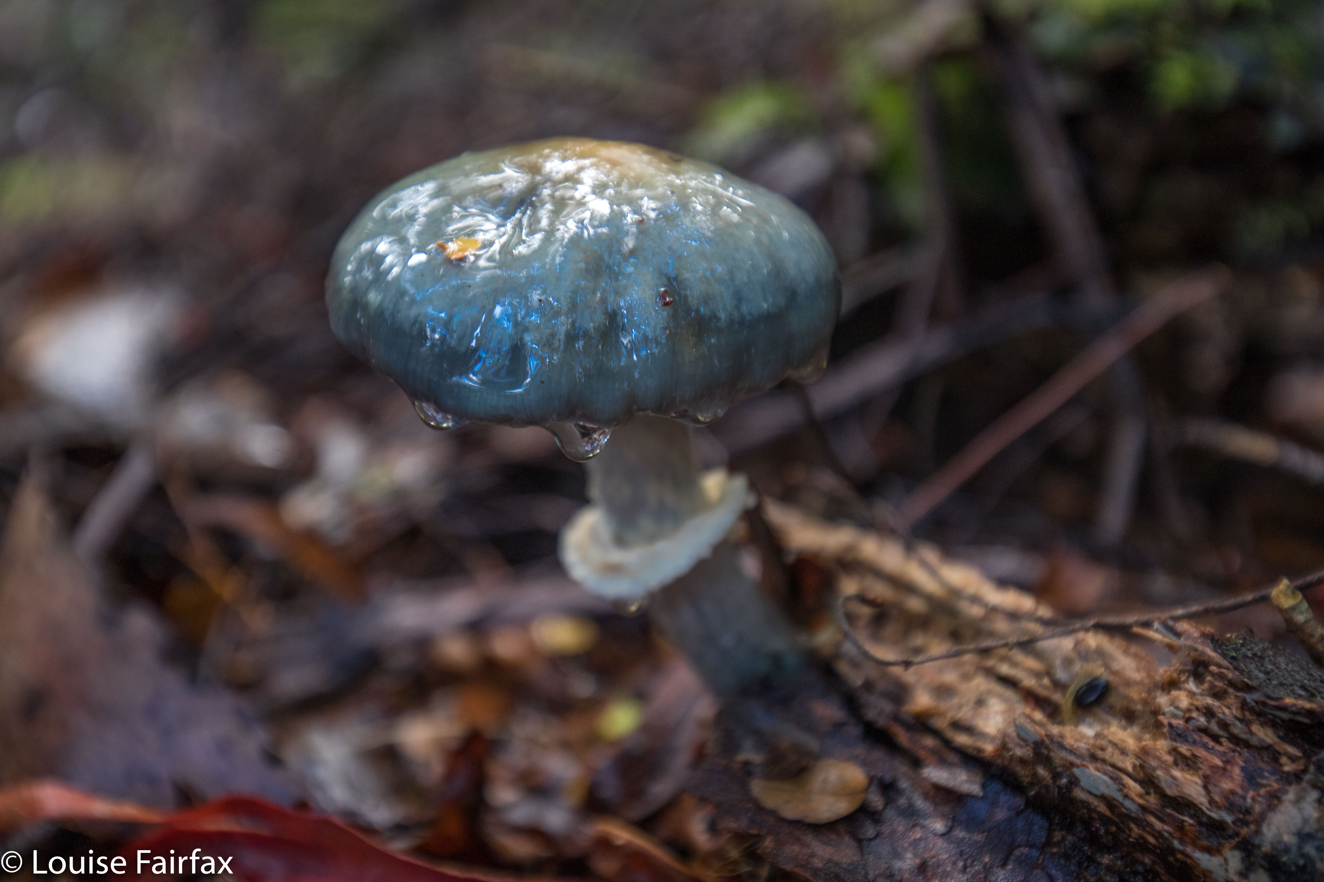
Russula persanguinea
The fact that these falls are not “maintained” means that the pad is an aesthetically-pleasing bush route; there are no metre-wide, levelled-out paths of fake material so you don’t slip; no handrails, and, oh joy, no bridges made out of that plastic stuff Parks now favours – and no viewing platforms to ruin the place. There was not even any rubbish. Weee. It had a magic feel to it.

Off you set down a track wide enough for cars for a couple of metres, and then you hang a left (taped) and your track becomes a narrow and appealing route through a rain-forested fairyland along to the top of the falls, and then down a steep climb to the bottom if that’s what you want. It’s not a big walk: it took Carrie and I twelve minutes to get from the car to the base of the falls. It took a LOT longer to come back up – not, as you might think, primarily because we were going upwards, but rather because we had agreed that we would go straight to the falls and then shoot fungi on the way back out. That took a VERY long time.


Cortinarius rotundisporus

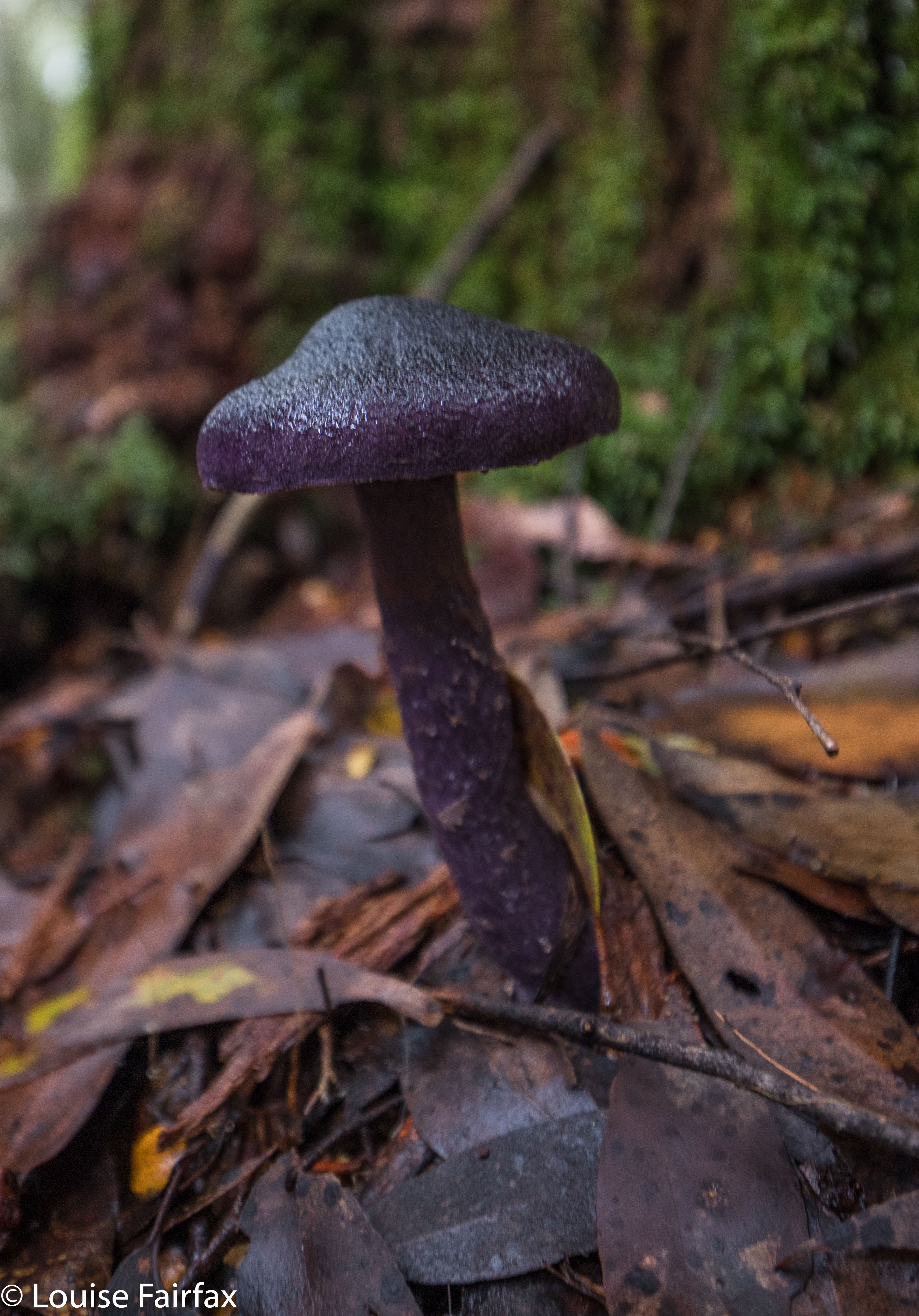
Cortinarius austroviolaceus I think. If you know better, please advise.
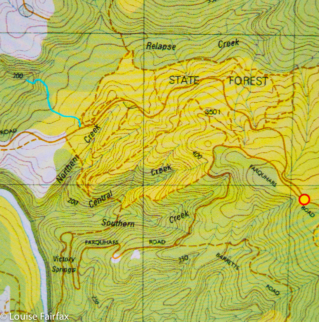
And how do you find the magic cairn that begins this mini-adventure? Turn down the road immediately to the west of the Cam Bridge (A10. W of Burnie), and travel on it to Yolla. There, turn right heading for Takone on what is, or at least becomes, Farquhar Road (not named as such). Stay on this as it goes through “West Takone” (nothing there) and on for a few more kilometres. Ignore the (right hand), northern-pointing Pruana (unnamed / unsigned) Road, and drive until you reach an intersection that is the shape of a fairly narrow Y. Now you turn right to join Relapse Creek Road, not that there is a sign that informs you that this is the case. I marked this intersection on my gps to be doubly sure that I was where I wanted to be and turning right off Farquhar Rd at the right spot. Once you are on Relapse Creek Road, you don’t have too far to go (maybe about a kilometre) until you see the cairn and tapes on your right. The waterfall is on Relapse Creek, downhill to your right. The route from the top of the falls to the base is not for the faint of heart. There’s one “delicate and interesting” ledge section that should be avoided by people not used to negotiating such things.

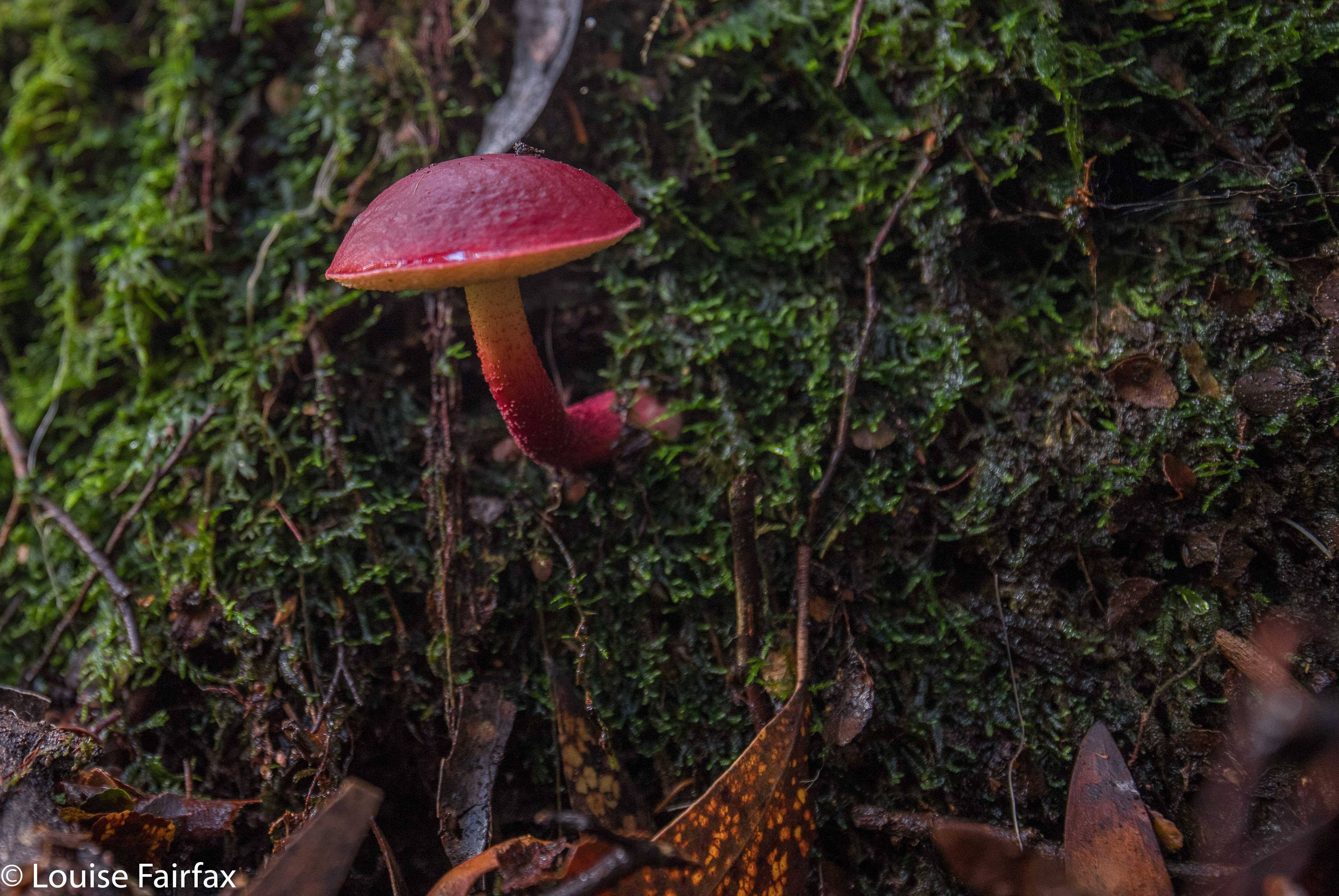
Boletellus obscurecoccineus

Gable Hill, Bawleys Peak, Bellevue Tier 2018 May

Bellevue Tier, Bawleys Peak and Gable Hill 2018 May
On Wednesday, a small band of us who all enjoy being in the bush and some of whom enjoy ticking lists of High Places went off together to climb four bumps, namely: Bellevue Tier, Bawleys Peak and Gable Hill, which all have in common, not only that they are on a List of High Places but also that they are near Bronte Park, so can be attained in a single day. (We also ‘summitted’ a fourth thing, but it was such a non-event I don’t even know its name. It overlooked the London Lakes, but the view was hazy.) If I am in the bush for collection purposes and to tick boxes, then I prefer to amass Abels or waterfalls, but decided to forego adding another waterfall to my increasing list of beauties in favour of being sociable for a change. A lot of my walks are solo these days, to the extent that I am becoming rather reclusive; I thought climbing a few bits and pieces with friends would be a fun change. It was.

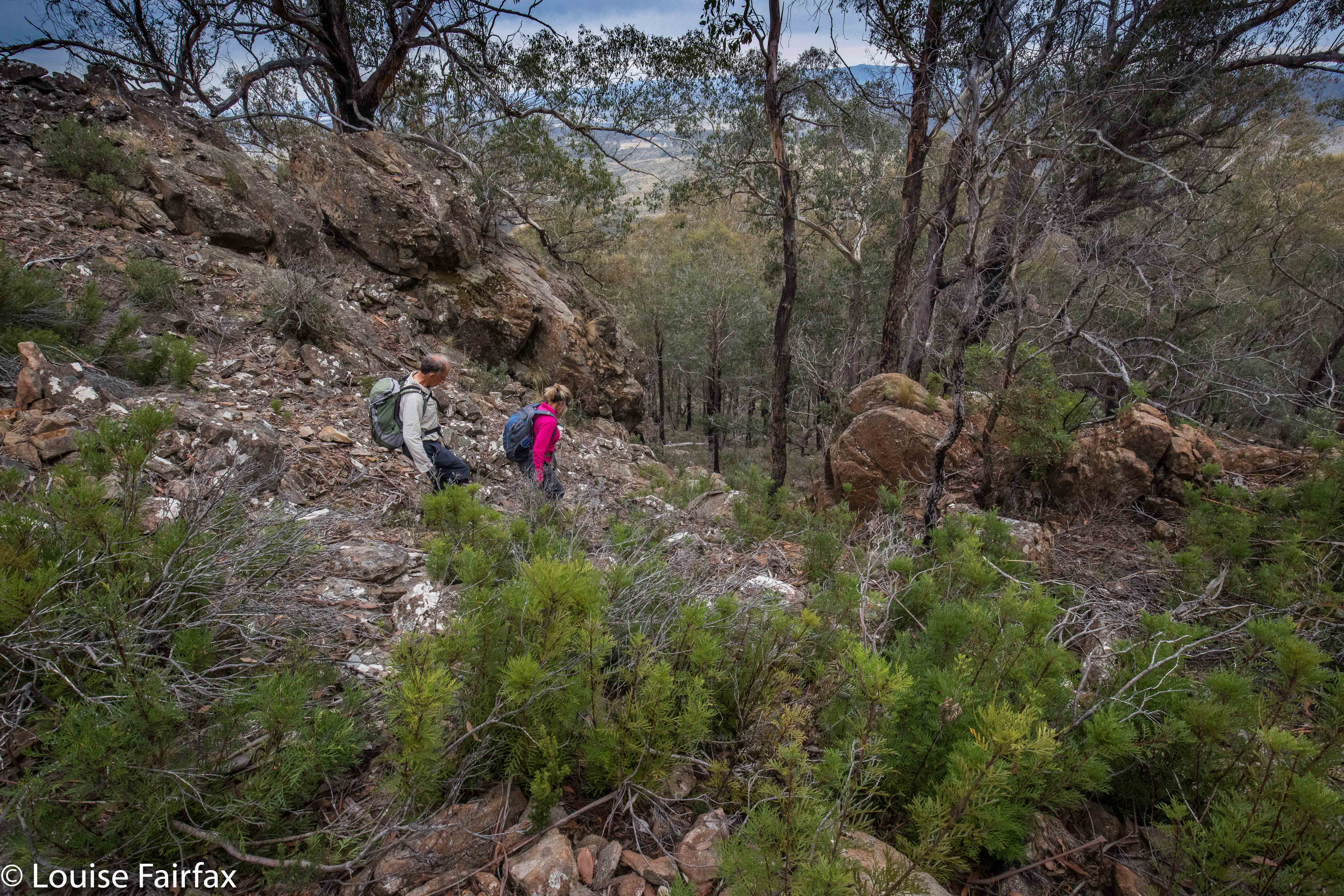
Descending from Bawleys Peak.
I am not at all in love with the Central Plateau, finding it far too dry for my liking, and devoid of fungi, ferns, shade and the things I love about ‘good’ forests. So, I hope my friends are flattered that I opted for their company despite the fact that I wouldn’t be on top of a shapely mountain, I wouldn’t be in the forest I like, and I wouldn’t be beside flowing water. In a group, you don’t even have the fun of doing your own navigation – although I have to confess I did slip off once or twice to choose my own route and meet the others at the top. I can’t play sheep the whole day and remain happy. But I did meet some great folk, and have fun and interesting conversations, and I enjoyed the camaraderie of being with likeminded people.

Ascending Gable Hill
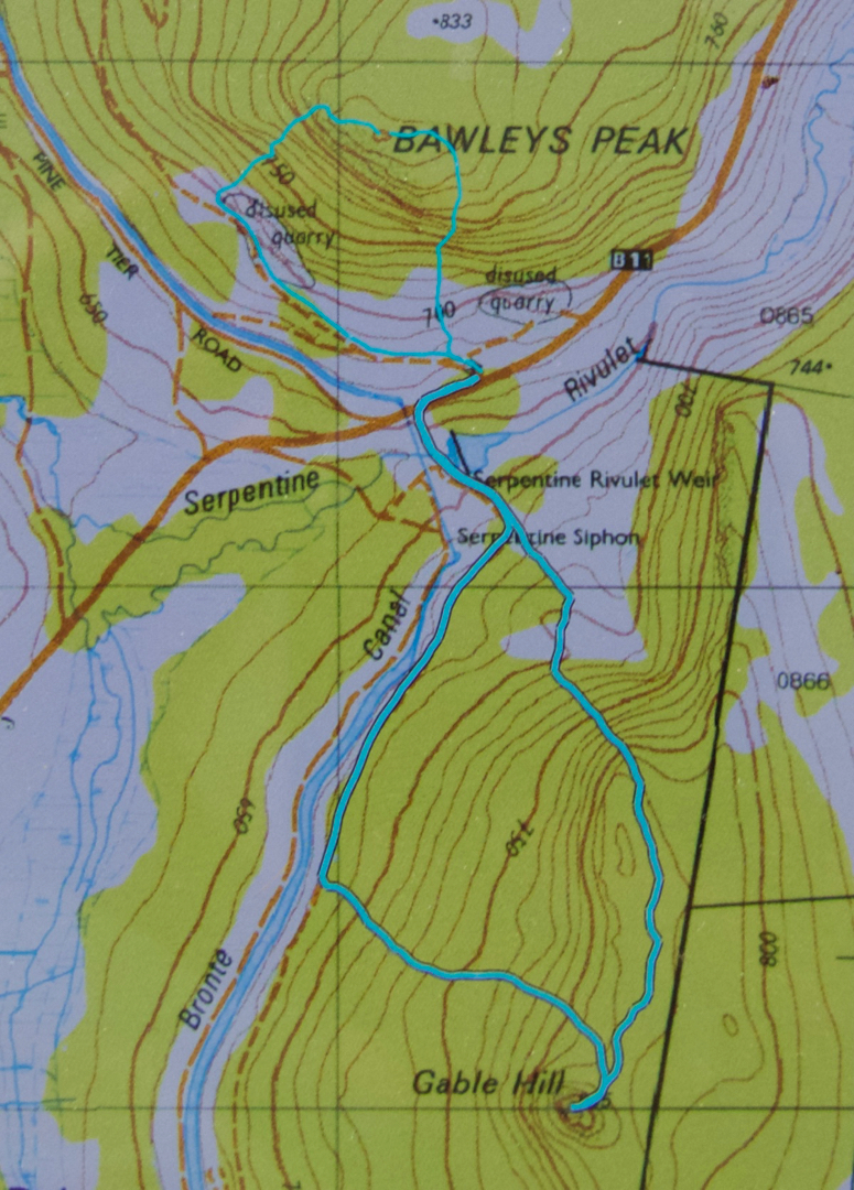
Bellevue Tier seems rather shapeless and viewless, despite being 1126 ms a.s.l.. Its merit lay in the exercise value (4 kms in each direction) and the walk-and-talk combo that took place. Bawleys Peak, our second high point, a fair bit lower but far steeper, was much more fun (See contour map below). I took it head on while the others went around to the right, and my route gave me a good adrenalin rush, with quite a few rather narrow ledges and iffy patches of climbing. Therein lay my first of two climbing thrills for the day. We sat on a beautiful mossy ledge looking out at the very hazy scene and whopping drop below while we had lunch.

Gable Hill
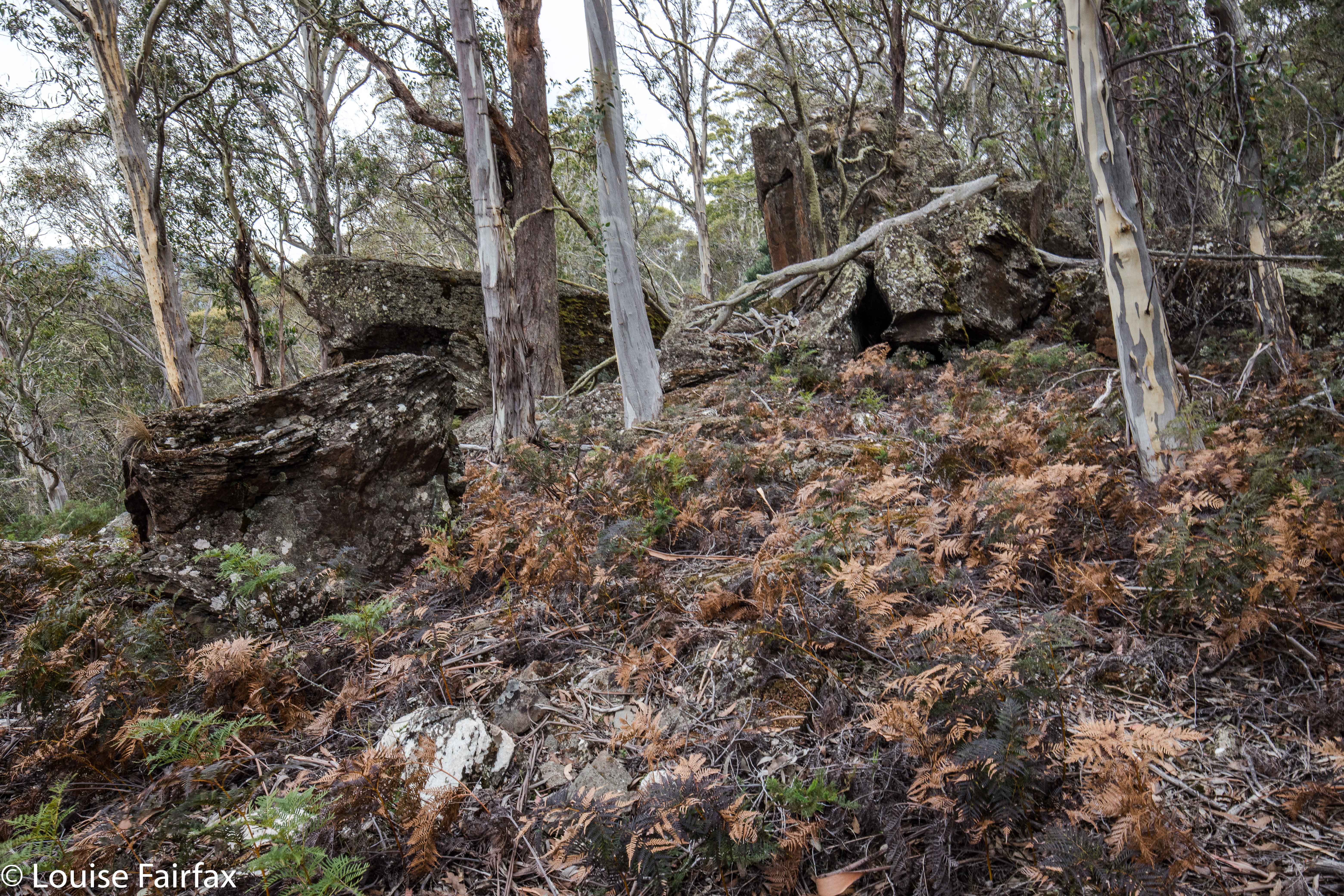
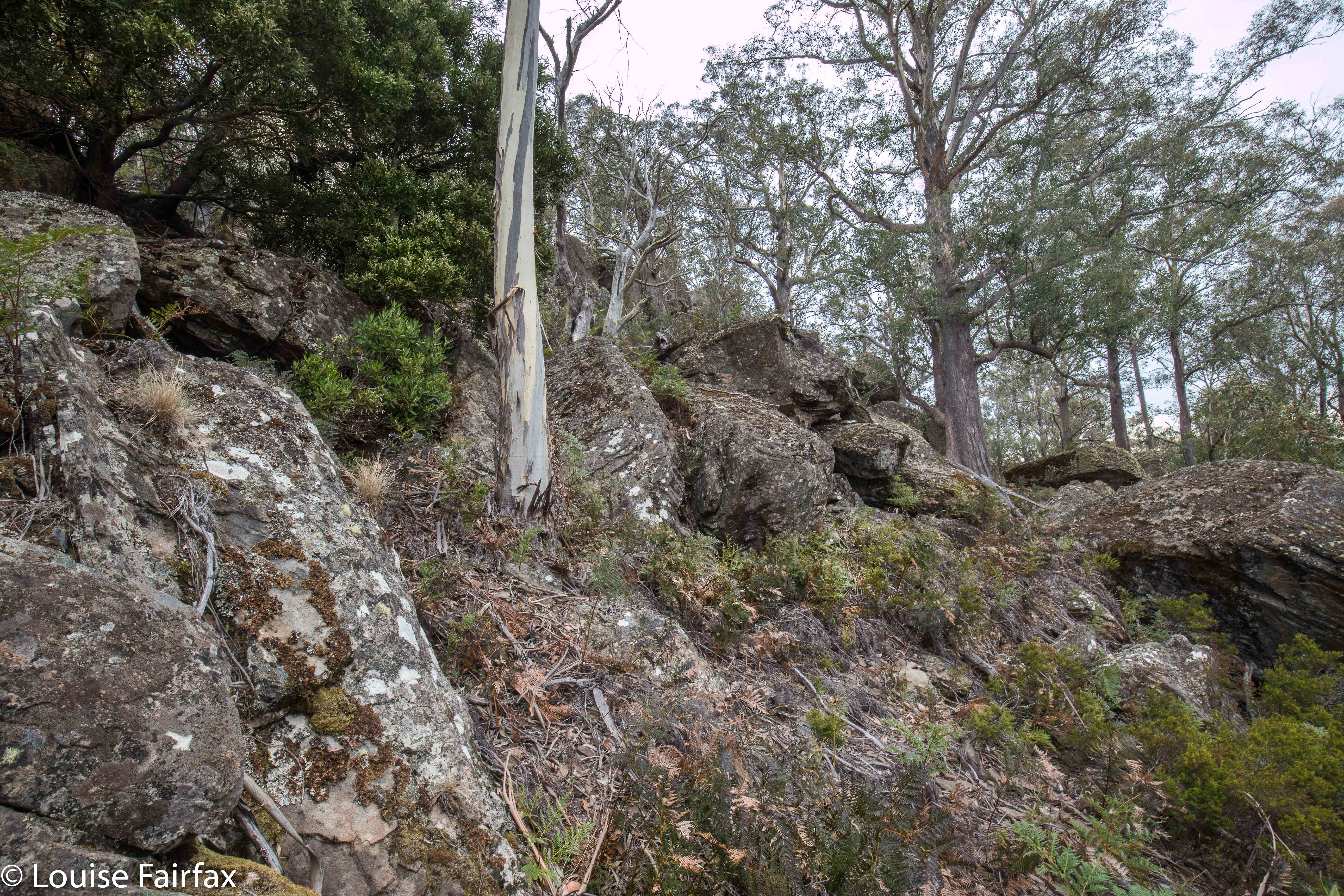
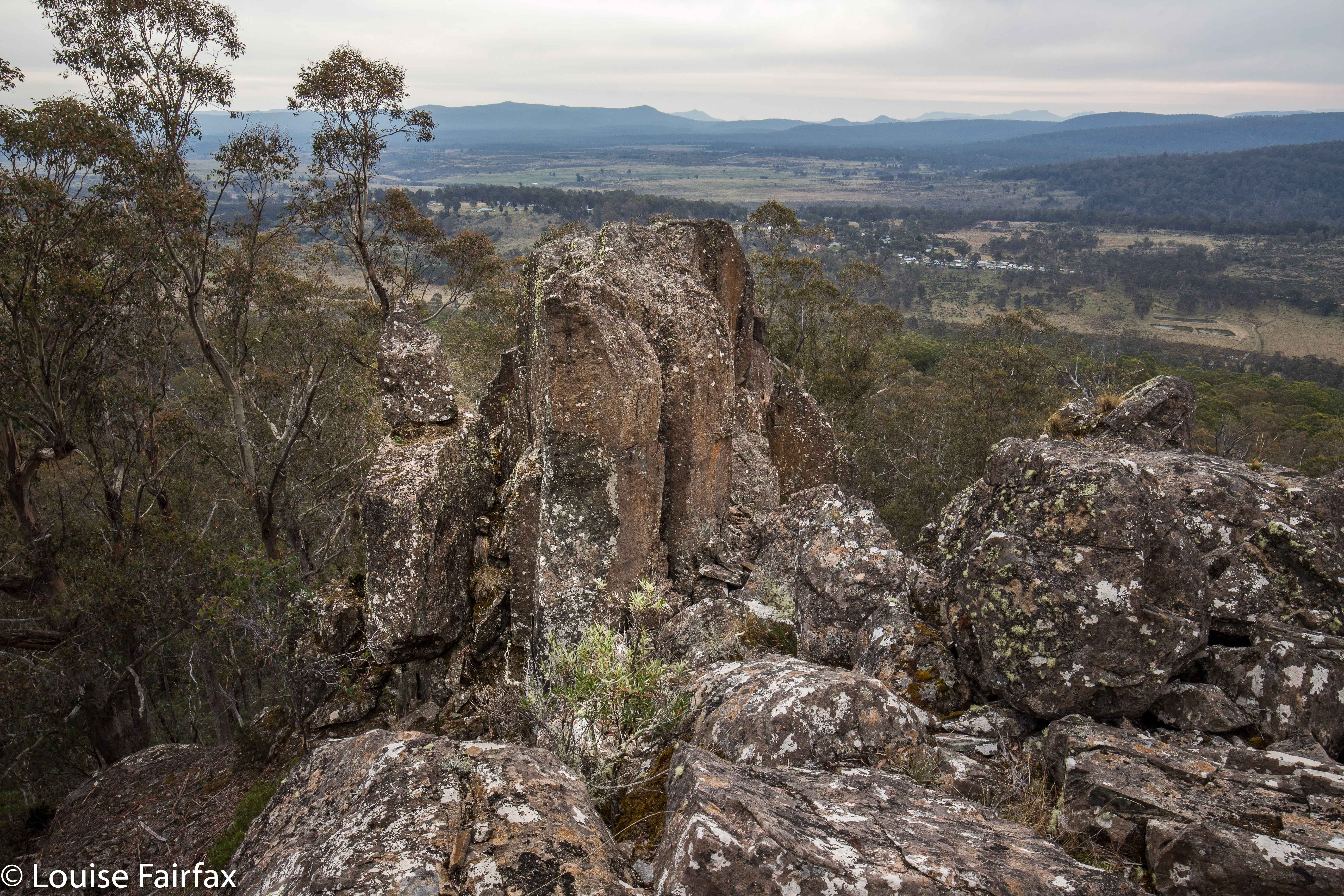
Our final fling for the day was the best: Gable Hill, on the other side of the rivulet we could see. This hill had very interesting boulder clusters that I liked, and some boulders at the summit that goaded me by appearing impossible towers to mount. I wanted to photograph someone else on top, but nobody expressed even remote interest in answering the taunt of the rocks, so, I set about climbing them while the others ate afternoon tea. I was very nearly too fat to get up the narrow chimney I was using for leverage, feeling like Pooh bear after too much honey, and rather fearing that any second I could tumble backwards and splatter on the rocks below like a tin of strawberry jam, but with a bit of breathing in and shoving, I managed not to cause deep distress to my daughters, and to get to the top of the obstacle. The others very sweetly played paparazzi to record the success. By that stage I was more interested in the fact that I was still alive and uninjured than that I had got to the spot on top. From the safety of my bedroom now, and thus in retrospect, I can report it was a fun climb. As I posed, however, I was pondering how on earth I was going to get back down, and was wondering if the gents would mind catching me. Not necessary, as it turned out.


Gable Hill
Unfortunately, the Central Highlands area also lacks the kind of coffee I like buying. Oh well. I am waterfall bagging on Saturday, and can have cappuccino in a cafe then.


The rock tower that I climbed (using a chimney to the right).


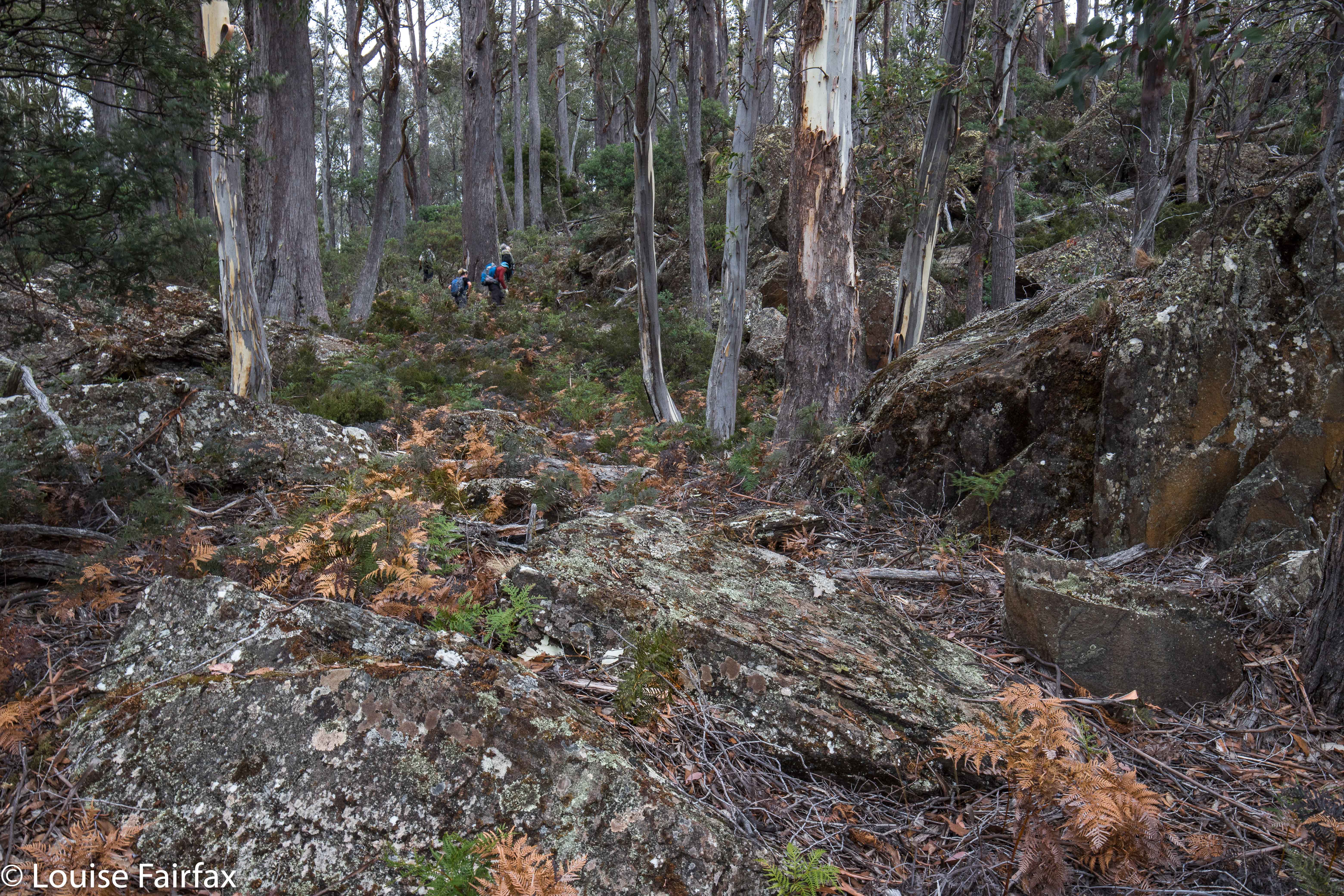
For both peaks, the ascending route was the more easterly, the descent, more westerly.