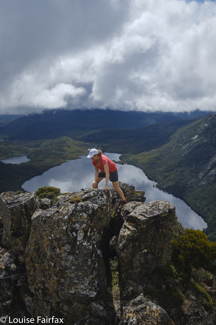
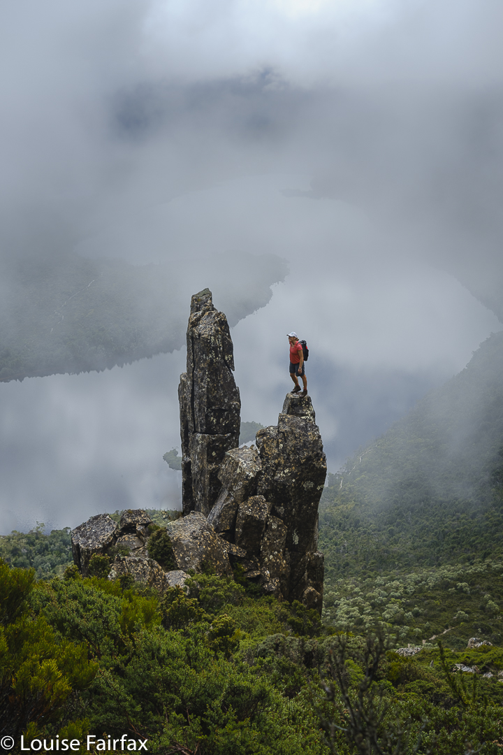
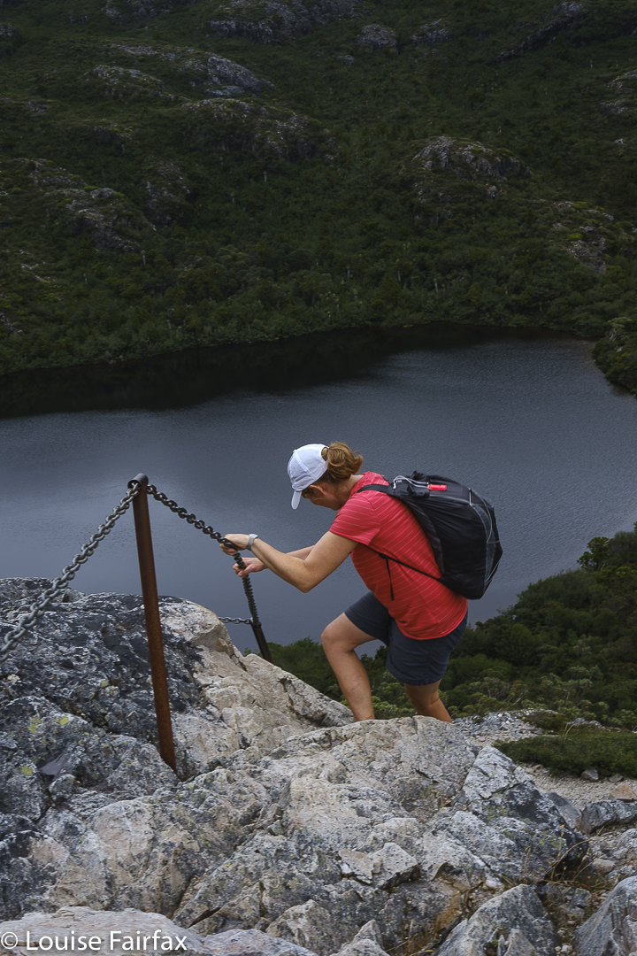
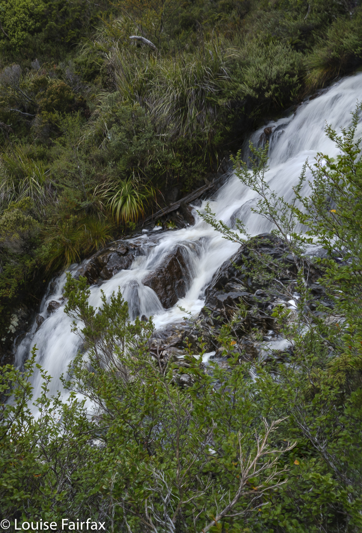
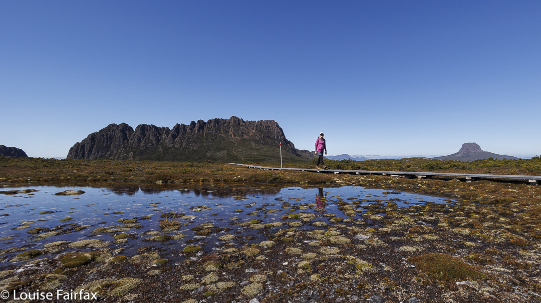
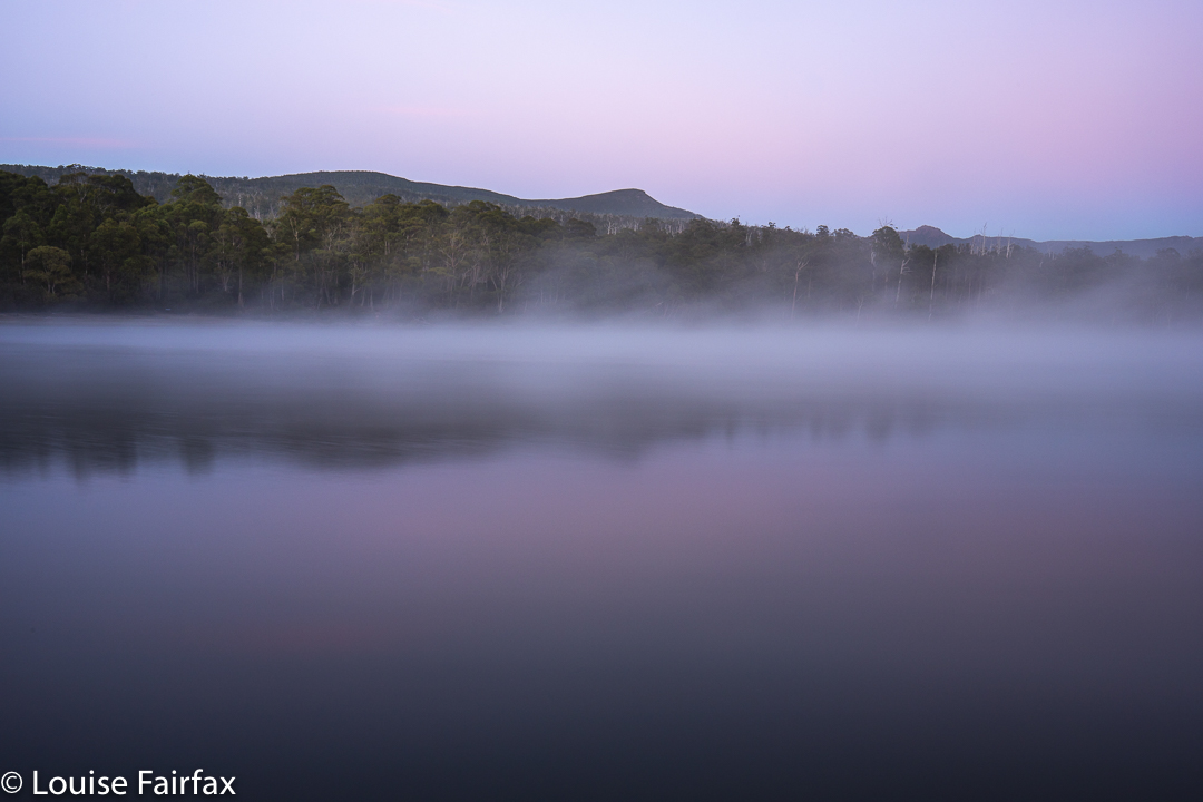
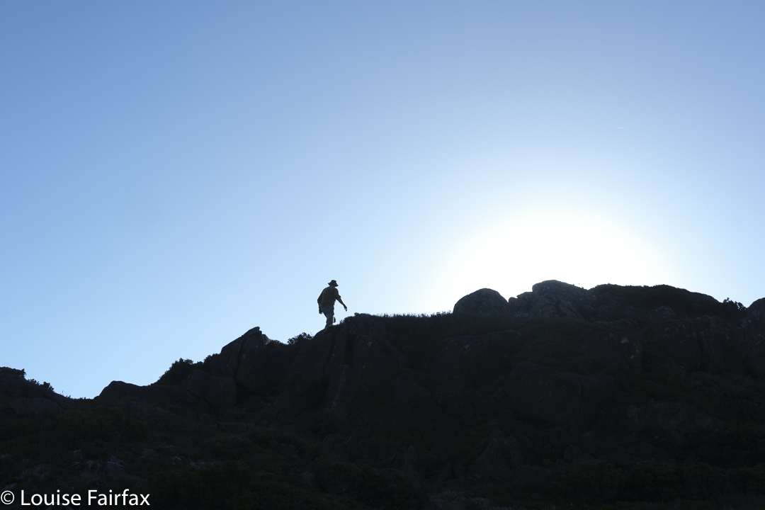
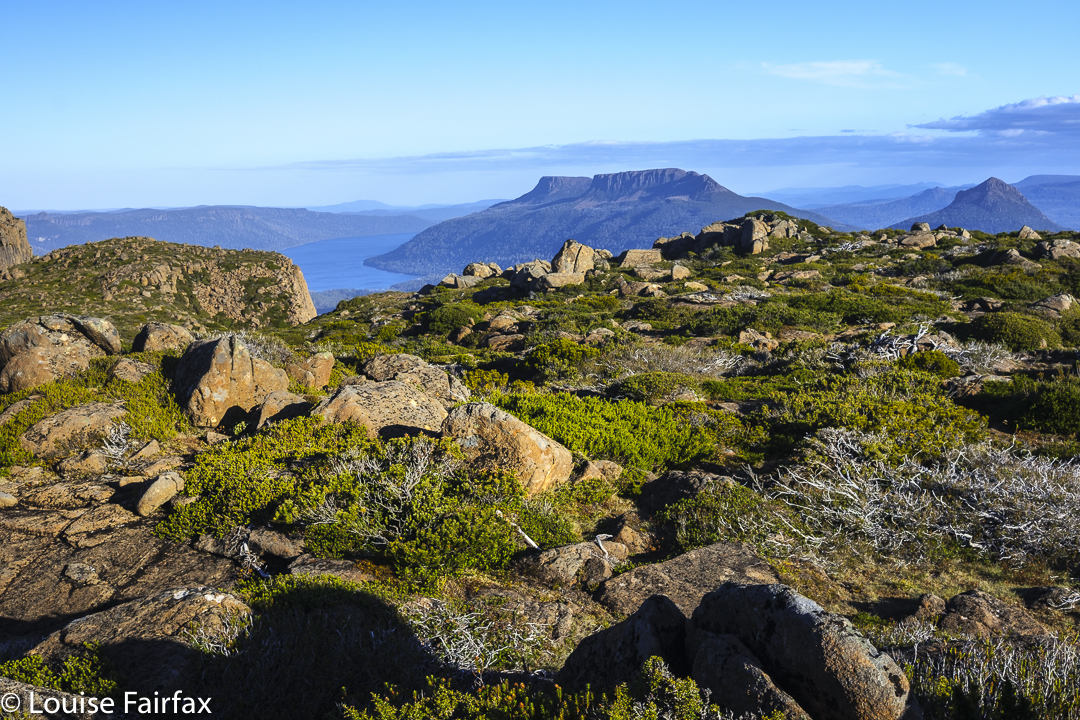
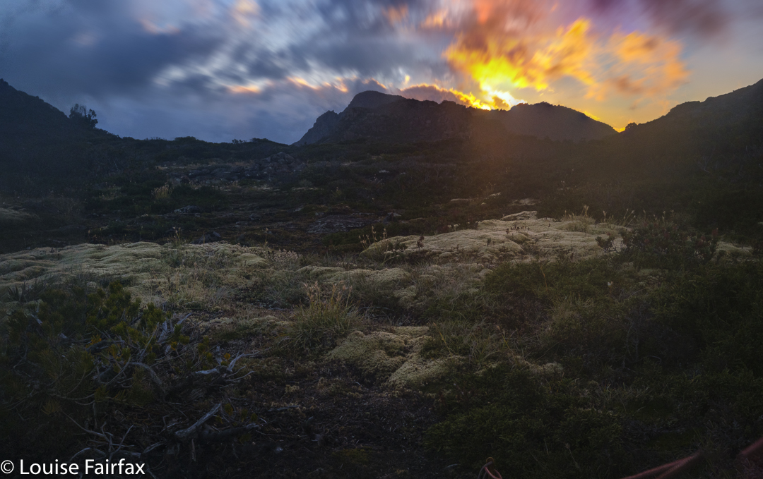
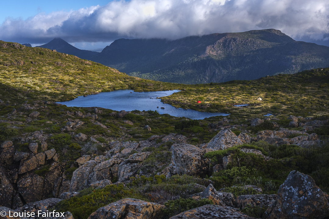
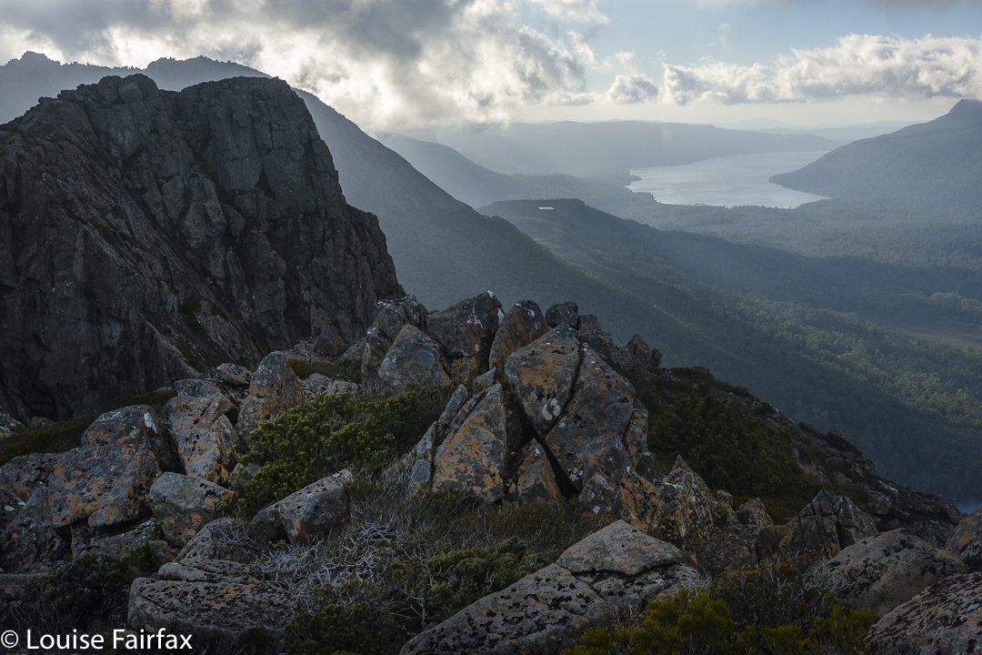
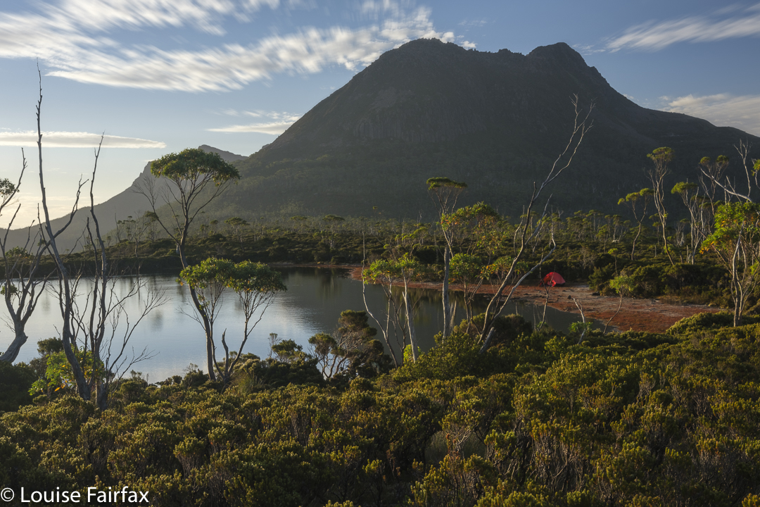
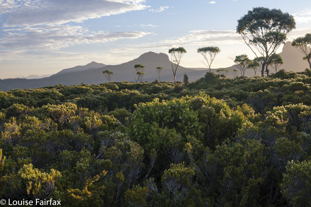
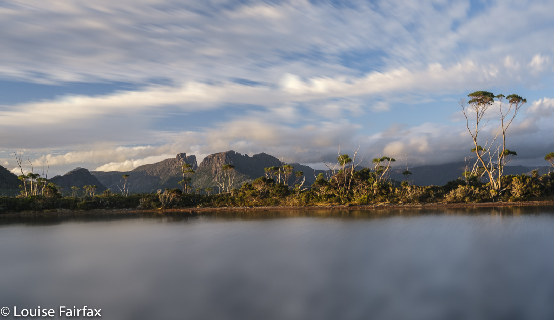
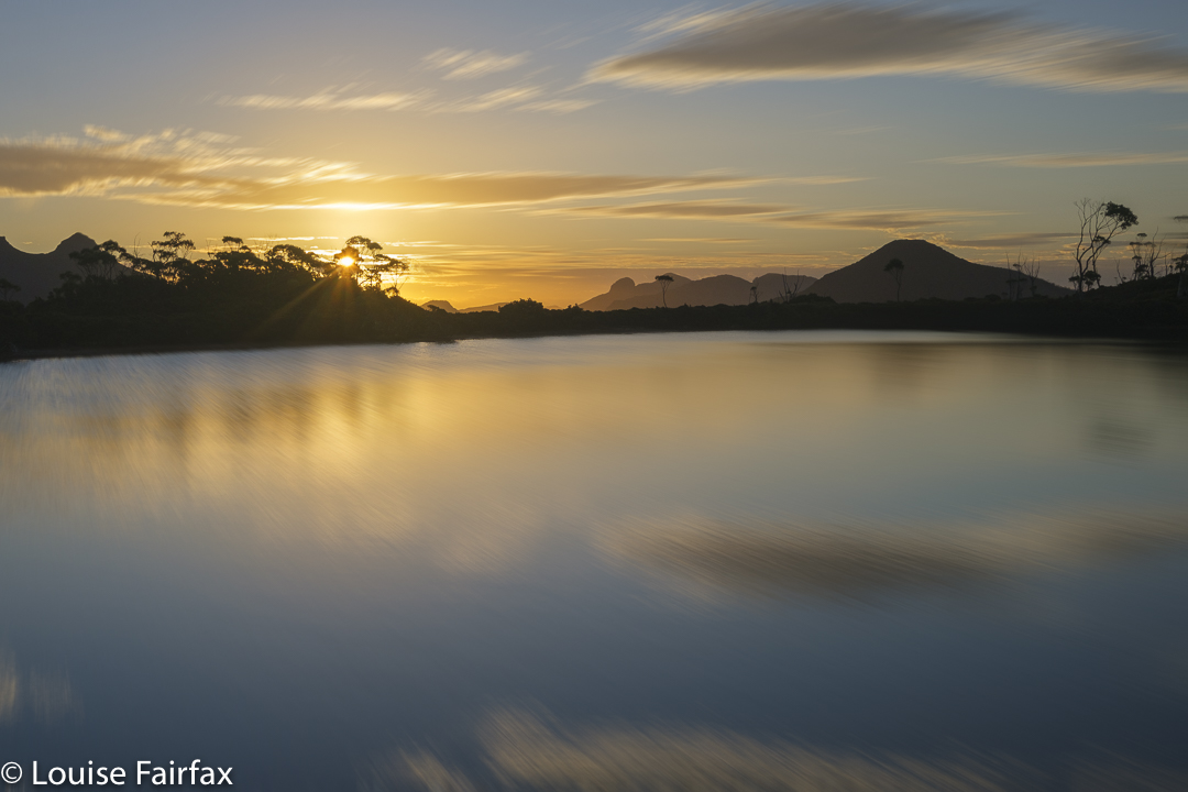
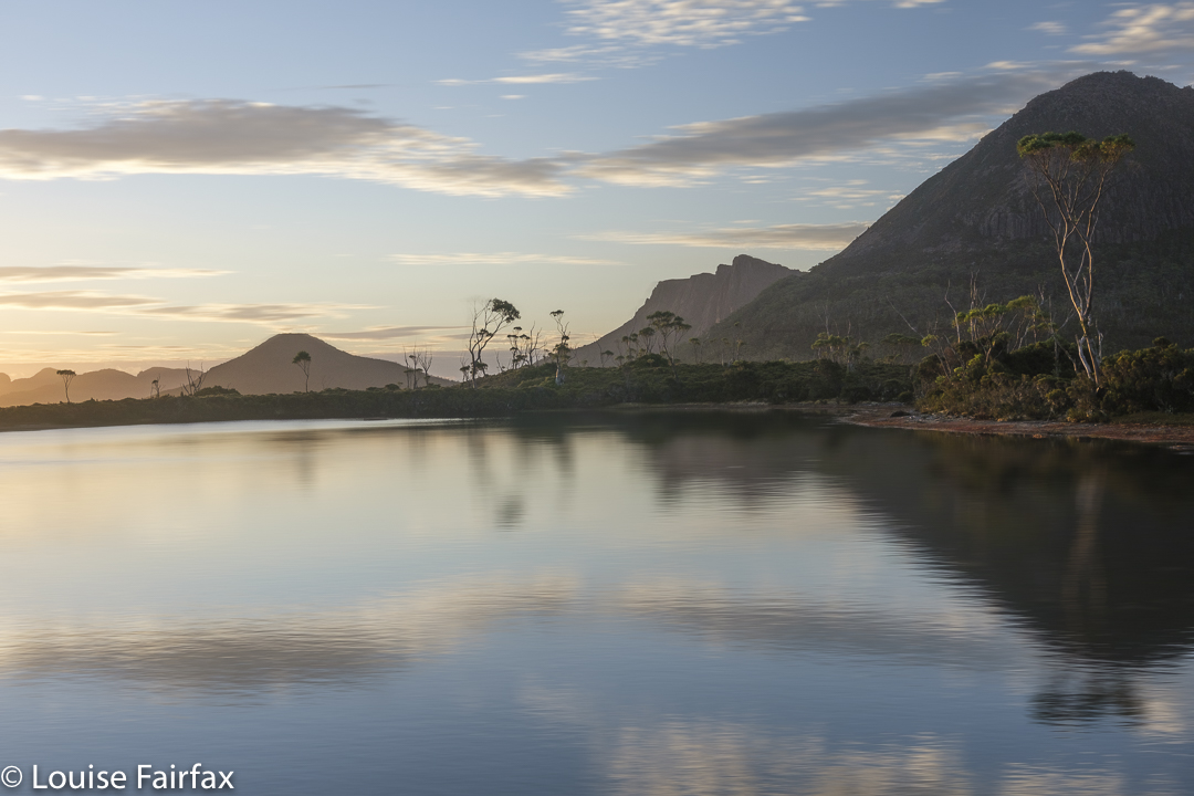
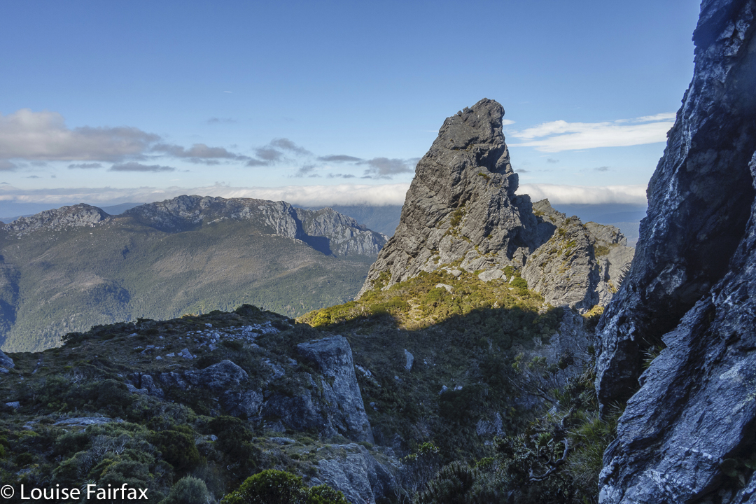
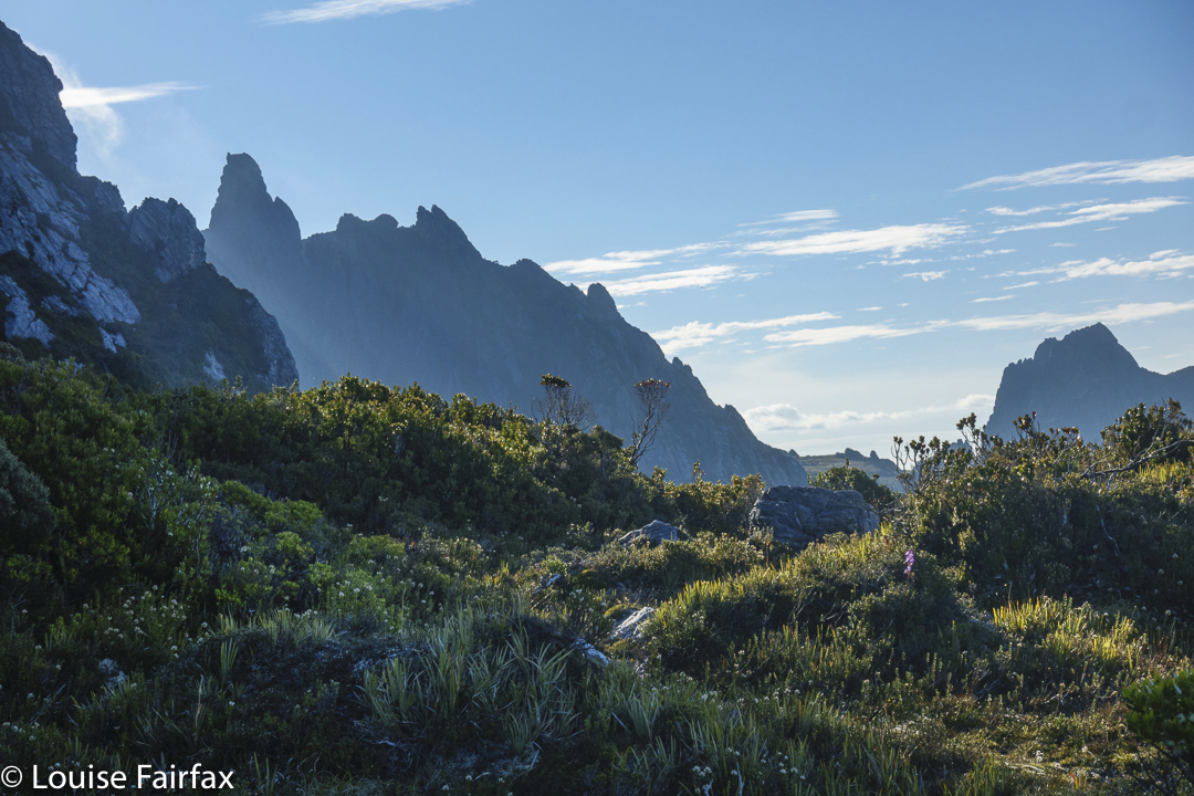
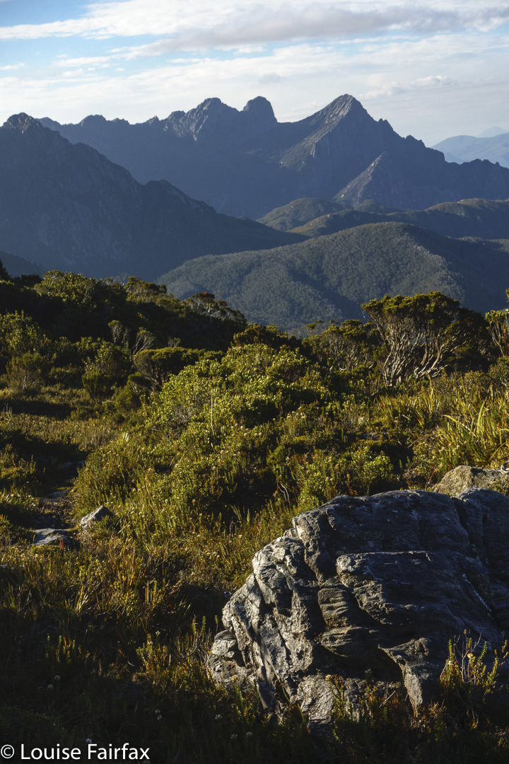
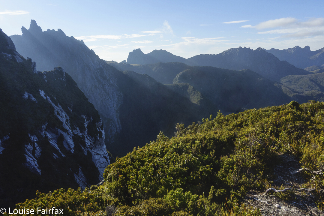
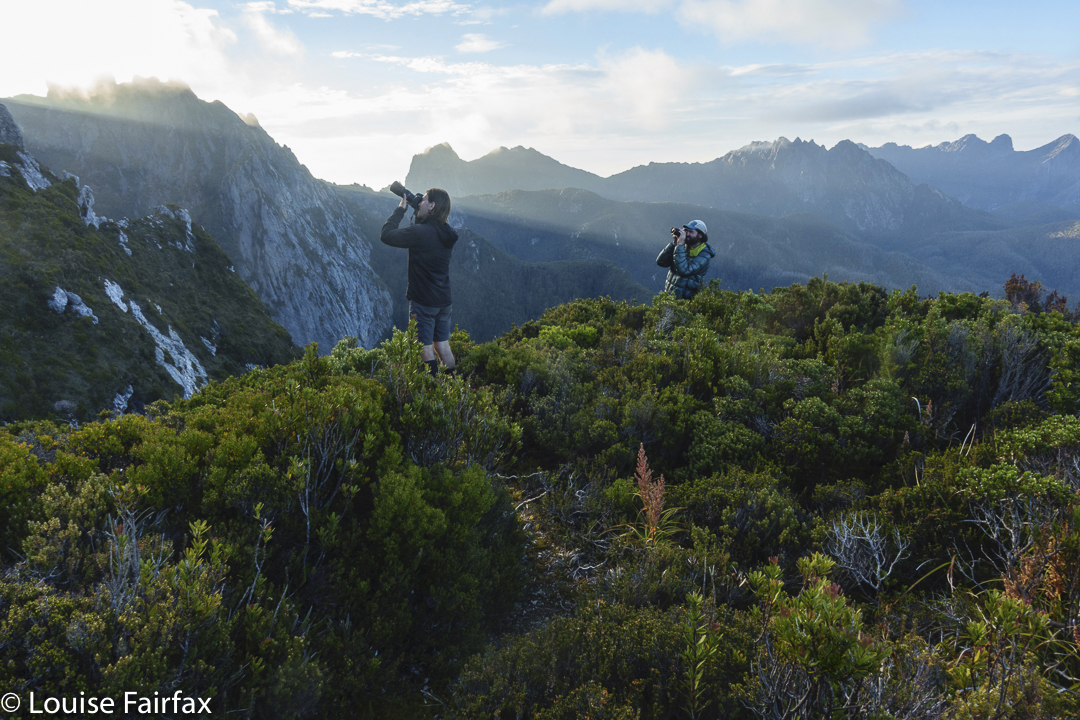
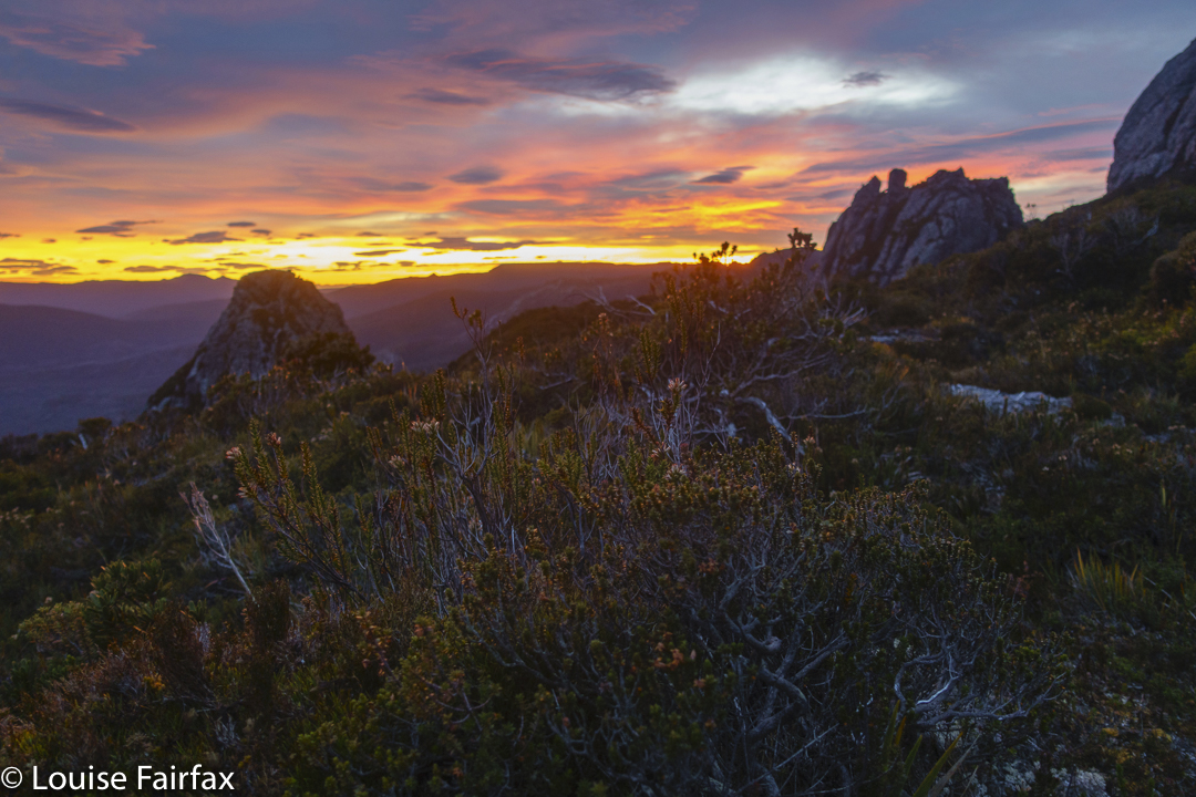
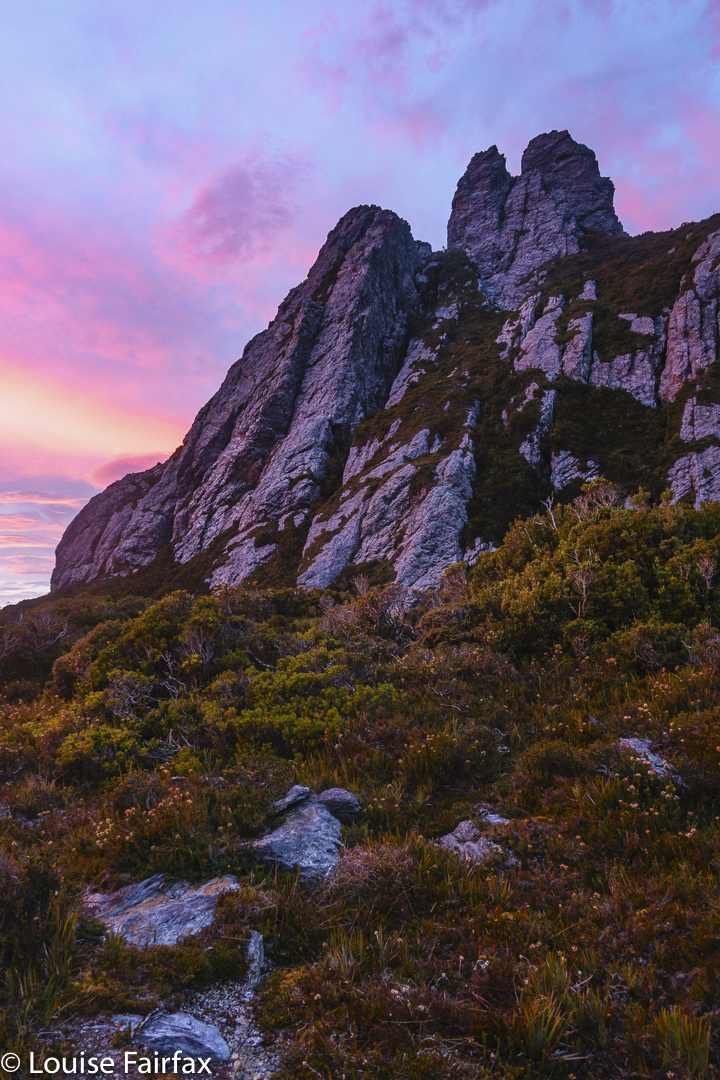
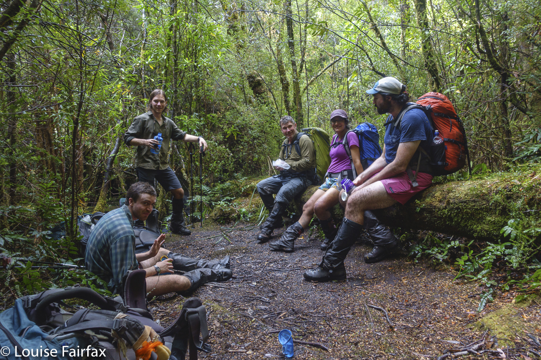
This weekend had so very much packed into it, it is extremely challenging to select less than twenty photos, so I have had to omit a great deal. There were wombats, mountains, of course, waterfalls – one of which is a blue line on the map with no name on an unnamed creek, so for reference I have called it Kirsten Falls. (It empties into Crater Lake, but Crater Falls already exist, down lower, with their own upper and lower versions.)
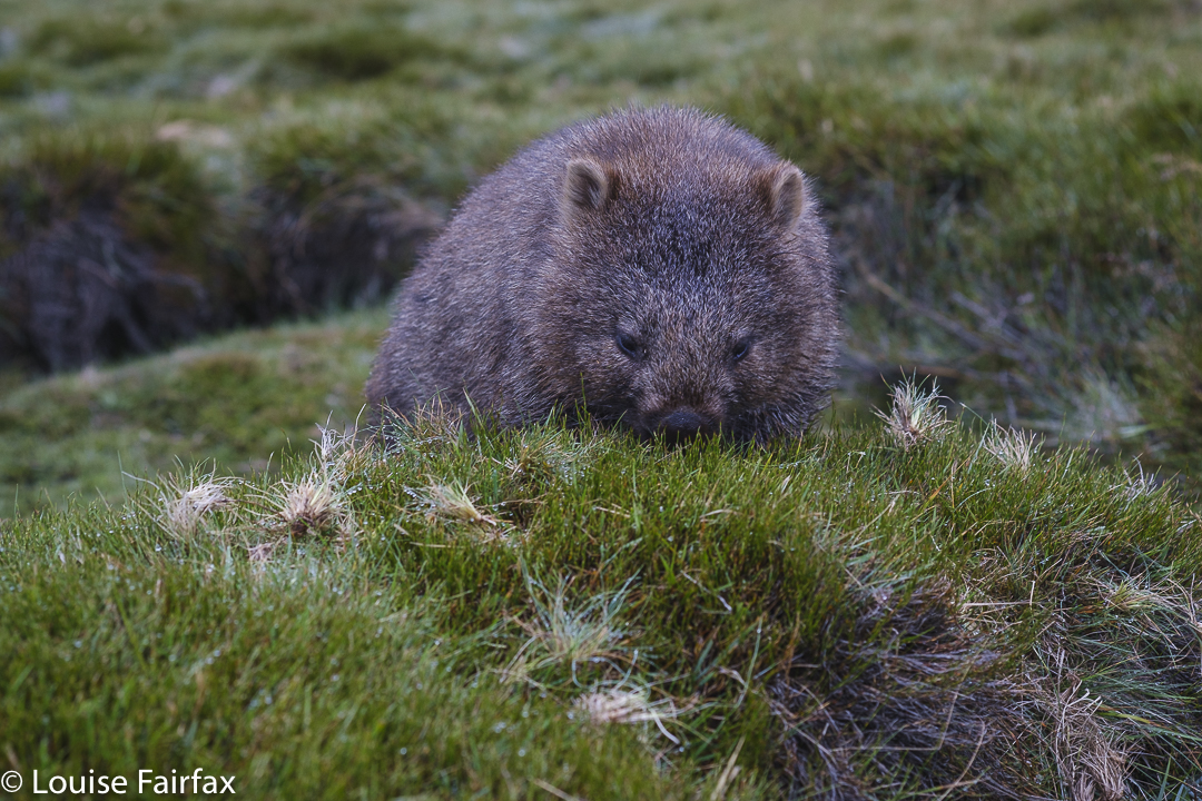
Wombat; Cradle. Always adore seeing them
There were sunsets and dawns, a visit to Sutton Tarn, which I have never previously sighted, a swim for my daughter Kirsten (in Crater Lake), and, perhaps ridiculously, I visited Wombat Pool for the first time, too. How can I have been in this area that used to be my almost weekly playground before the government handed it over to tourists and made it exceptionally difficult for Tasmanian residents to enjoy any more, and not been here?
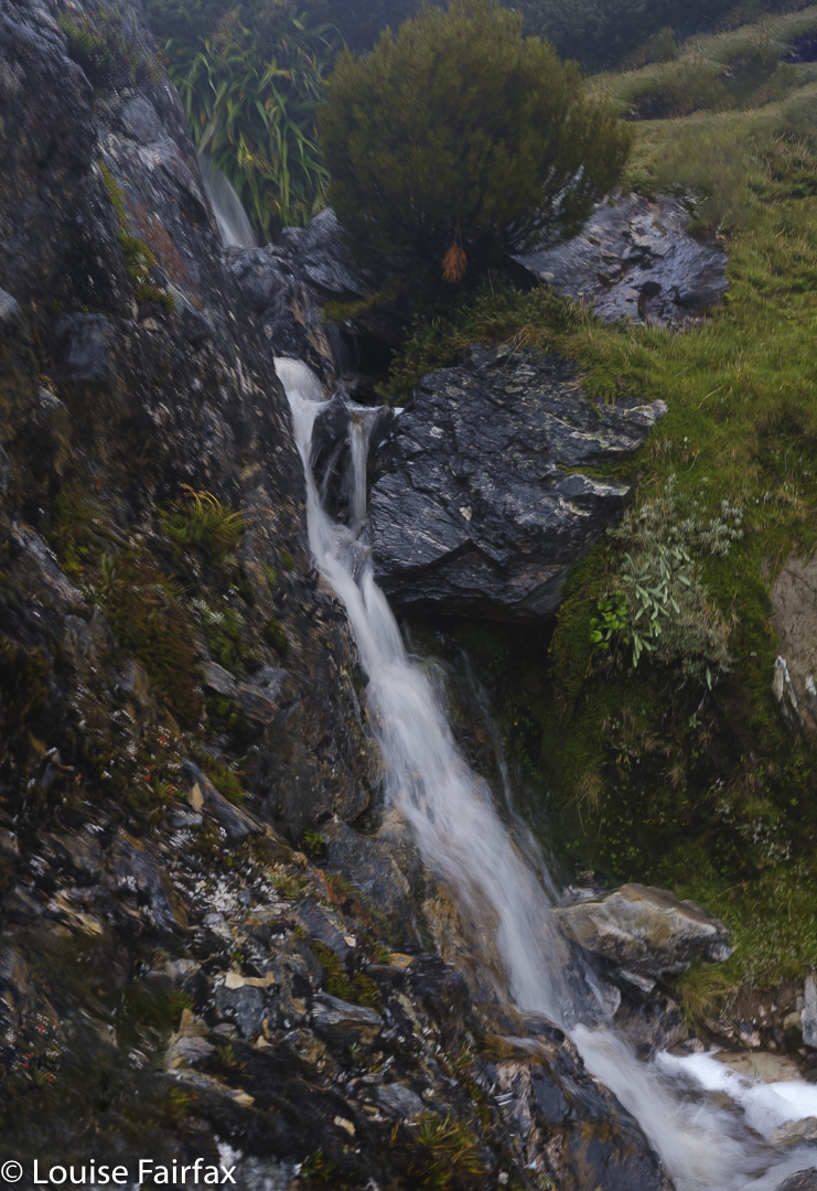
Kirsten Falls that feed ultimately into Crater Lake. Crater Falls (Upper and Lower) are below the lake. These falls are just a blue line on the map.
Does anyone else remember the good old days when you could scoot up here after work, have a quick bite by Dove Lake and then go up into the mountains before it got too dark to see? We used to regularly pop in to Waterfall Valley Hut for the weekend. I used to park at the lake and run repetitions up Marions Lookout for training for my mountain running. And so much for astro, sunset or dawn photography by the lake: all just events in the memory of those of us who lived before the tourist invasion. Before the government turned natural beauty into a saleable commodity, sucking out its soul in the process.
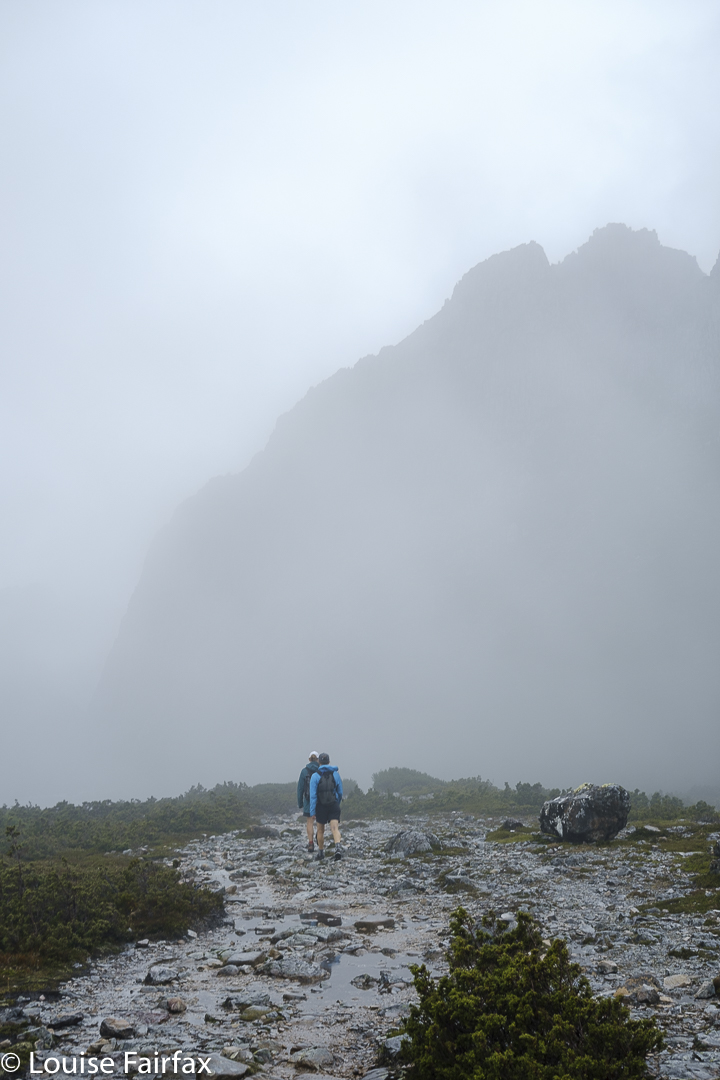
En route to Little Horn
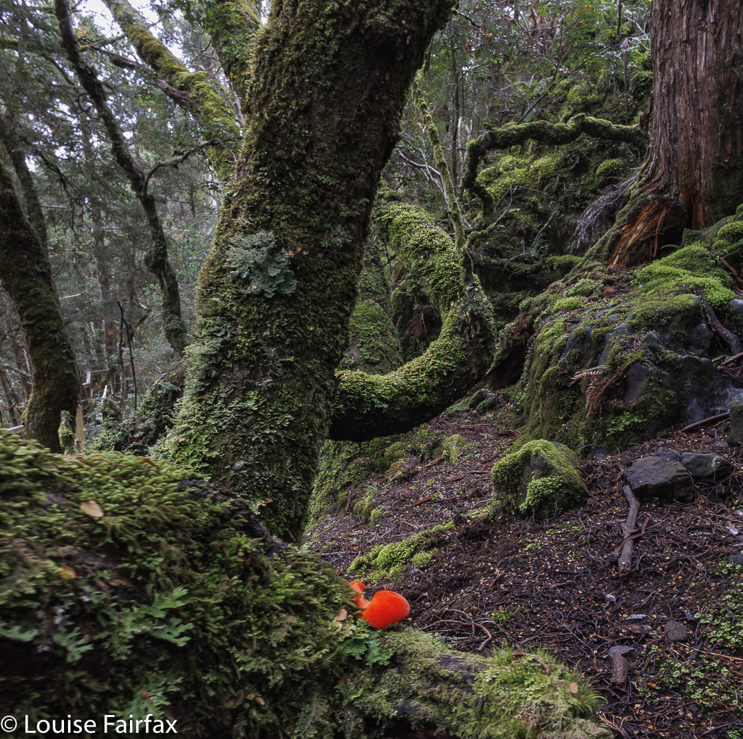
The waterfall shots aren’t my favourites, but I do like documenting waterfalls I have visited, so you’ll have to humour me on that one. Only one fungus has made it into this small selection, although more were there to be seen.
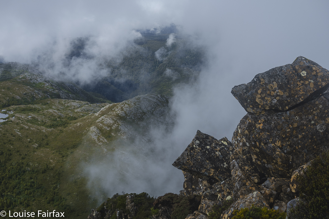
Little Horn summitLittle Horn summit
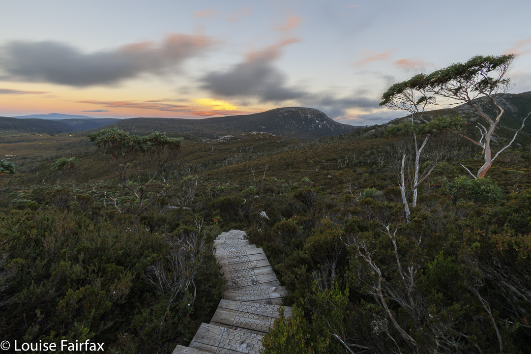
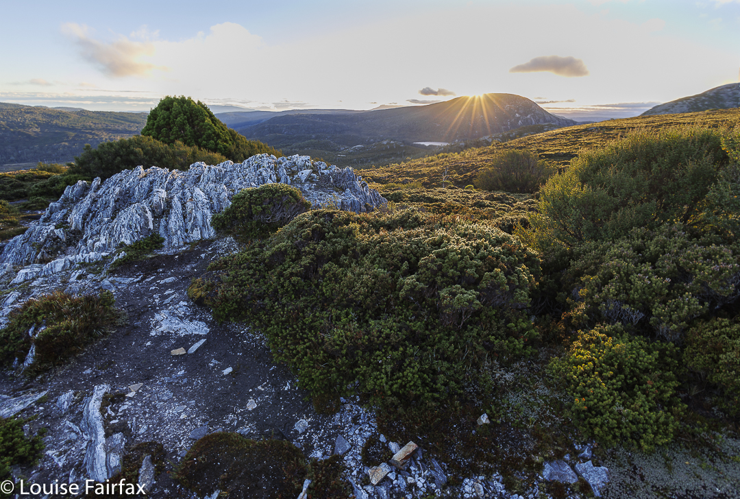
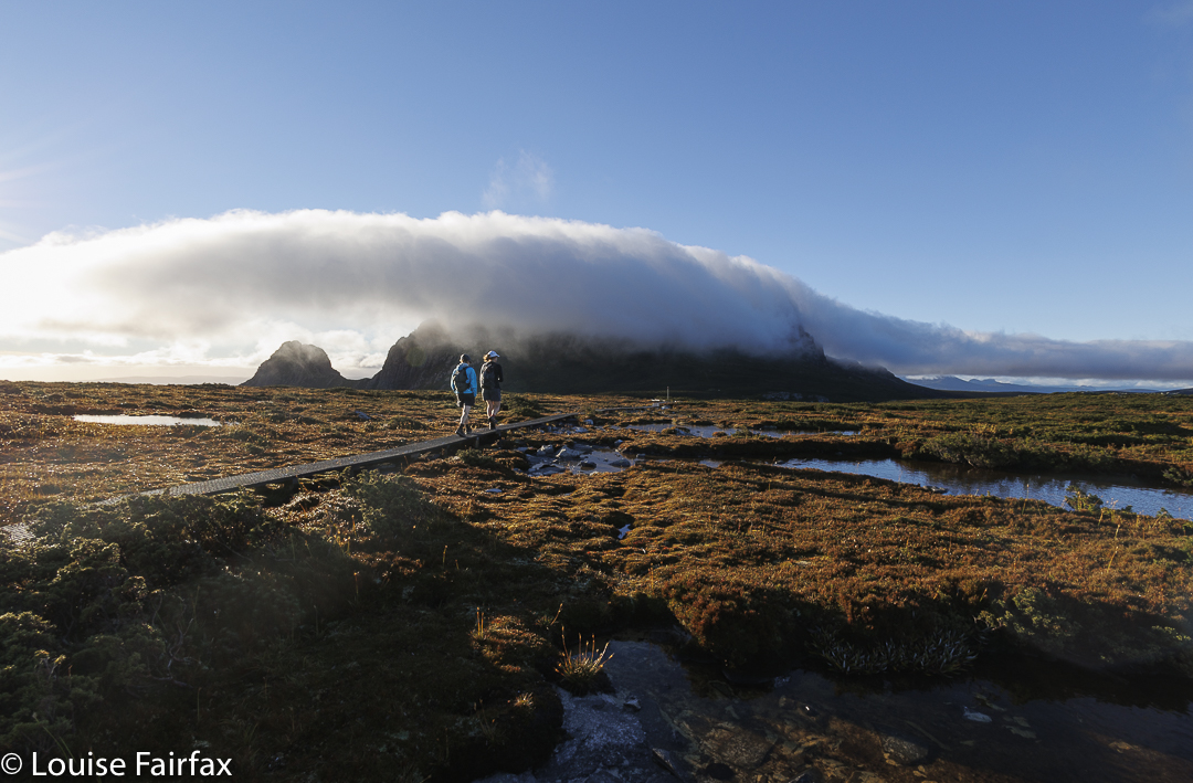
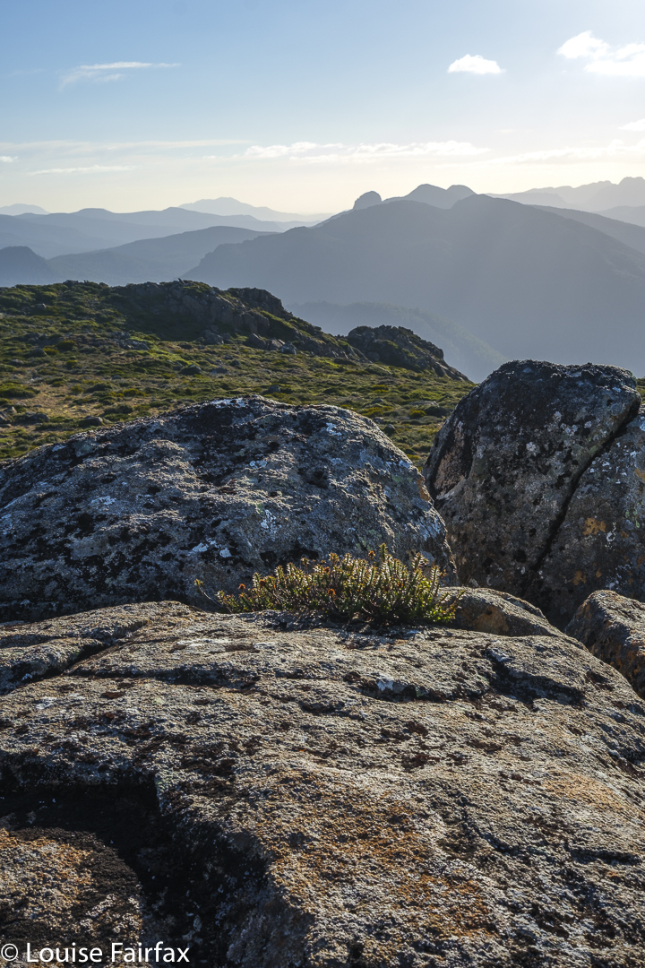
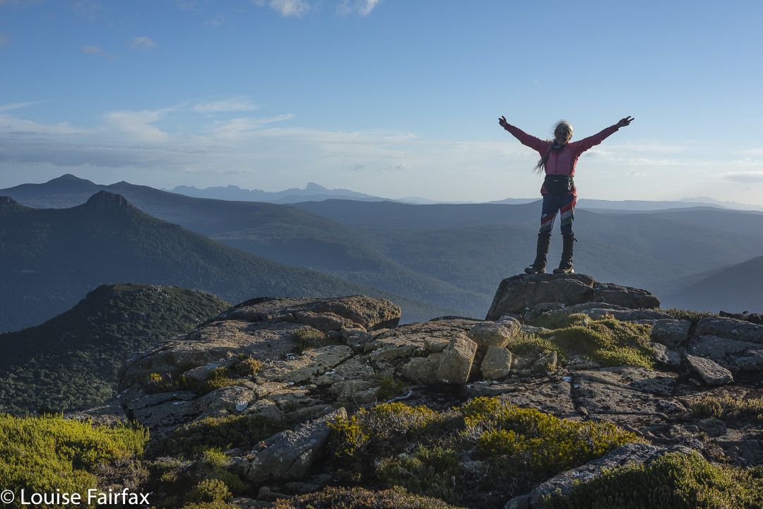
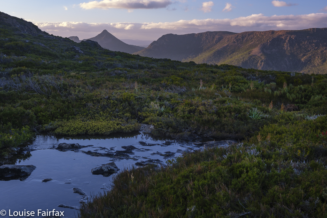
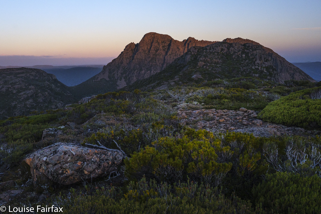
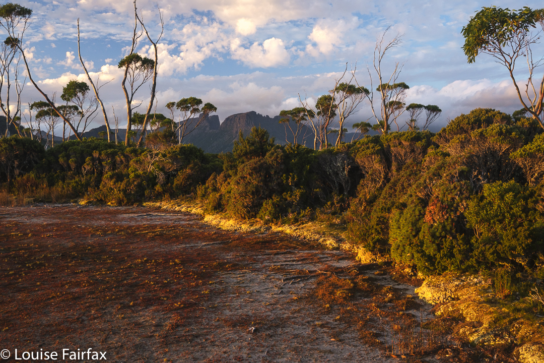
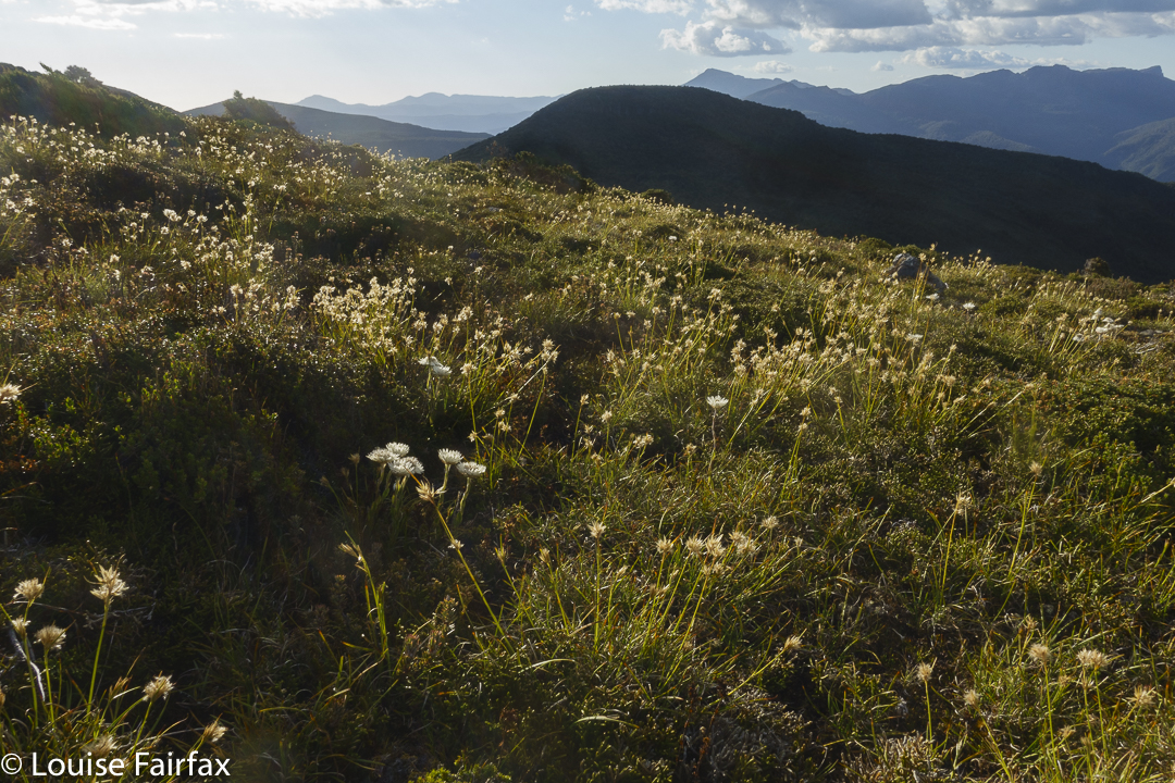
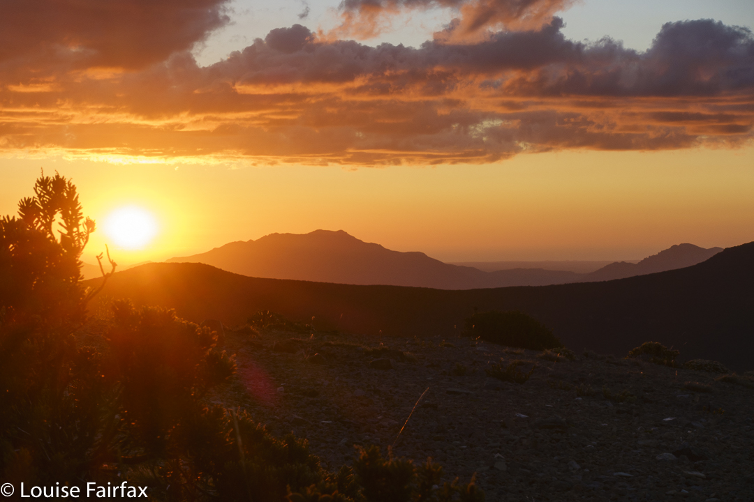
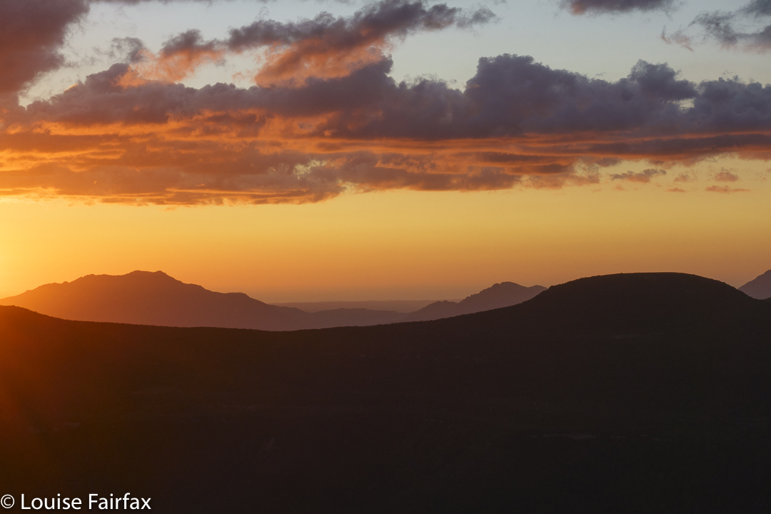
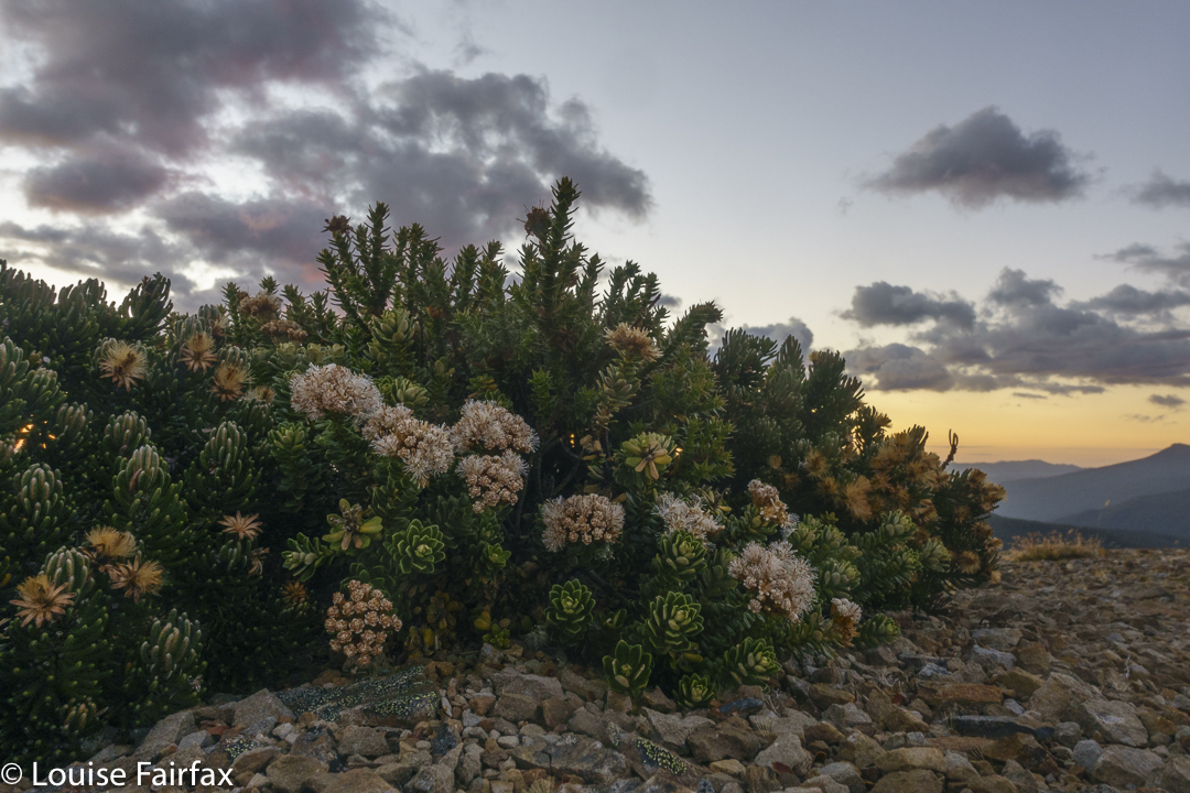
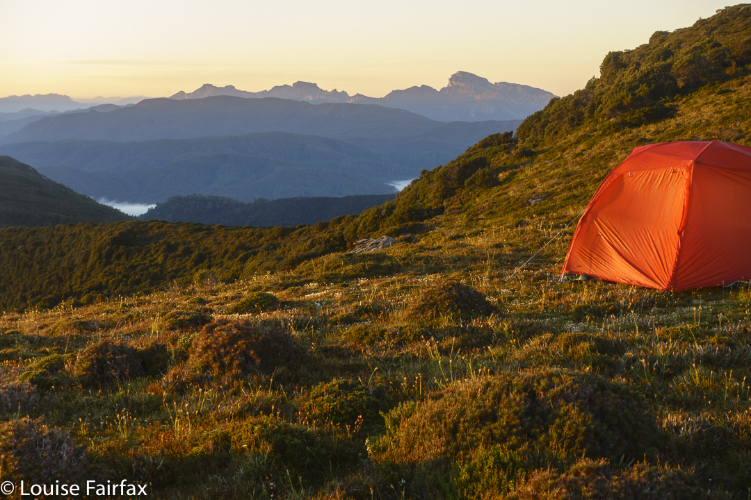
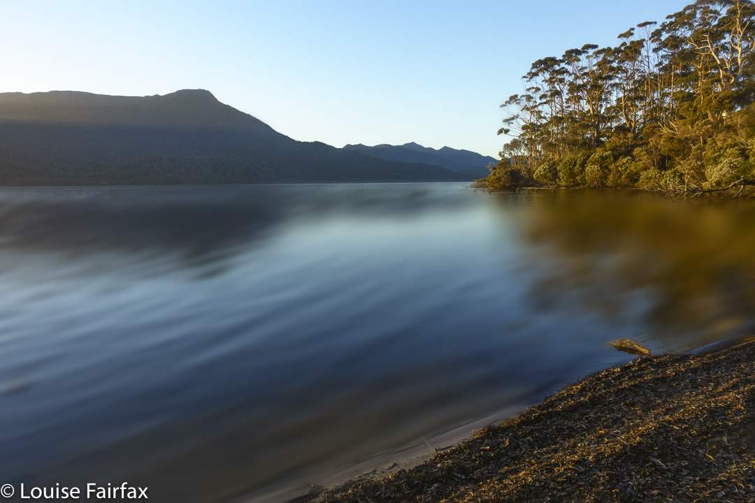
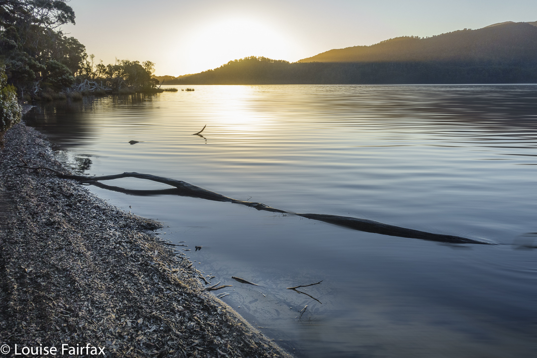
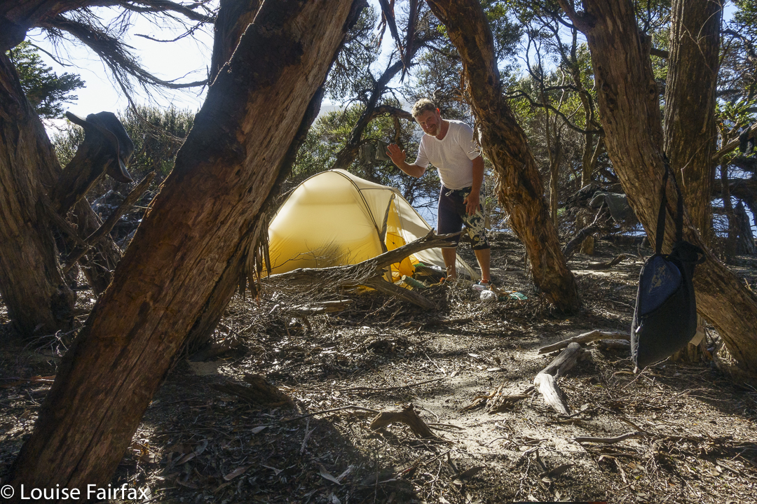
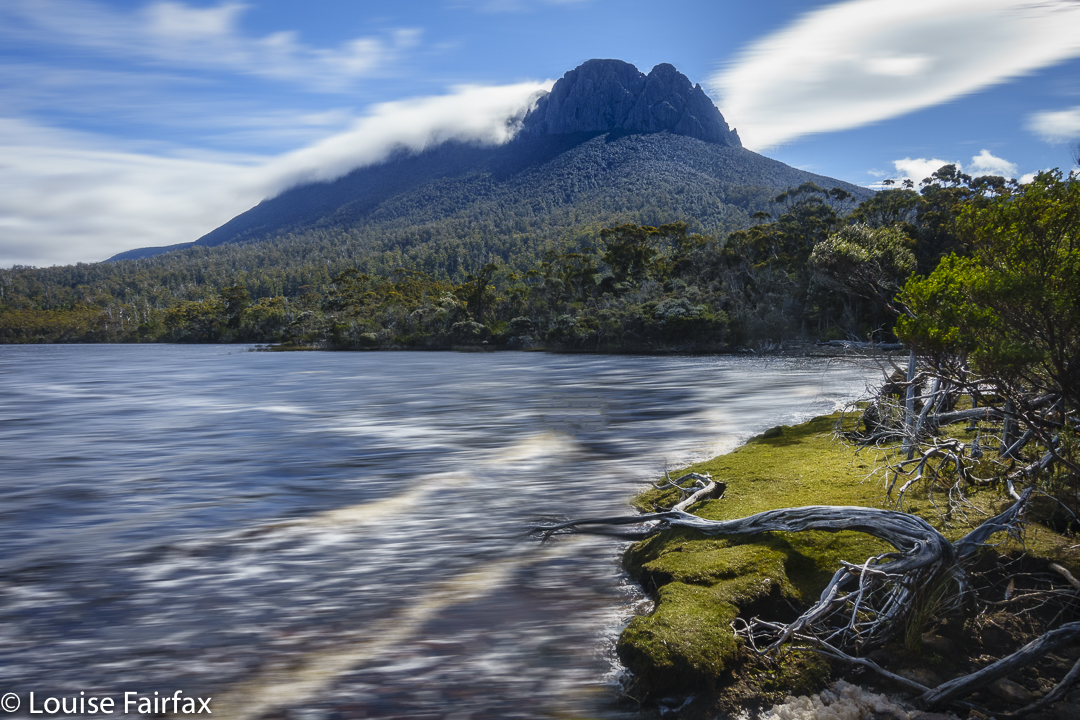
It is a weekend present in my brain not in words, but rather in a series of images and feelings that I have not wanted to reify by reducing them to words. I will let the photographic images function as poetic images to hint to you at a wider whole that transcends its adumbrated representation here.
Little Horn
Our itinerary is as follows:
Friday evening: arrive; wait for the boom gate to open and then walk to our hut (almost in the dark).
Saturday: a loop that included Kirsten Falls, Sutton Tarn, Little Horn, Lake Wilks, Ballroom forest, Wombat Pool and Crater Lake.
16 horizontal kms + 600 ms climb which yields 22 km equivalents.
Climbing down to Lake WilksLake Wilks Falls Upper were flowing well today
Sunday: unfortunately we only had half a day, so went towards Barn Bluff in freezing, fierce wind, and returned in beautiful sunshine with a crisp autumnal feel to the air. The light was beautiful. We rushed the first half, hoping to squeeze in the summit before our turn around time.
However, one of our trio was freezing and decided to turn back. Kirsten and I continued on, but we had lost too much time by then, so opted to give the summit a miss and just enjoy being up high on the Bluff Cirque and Cradle Plateau, and taking in the scenery at a more leisurely pace.
Moody Cradle Mountain
I have already climbed it three times, so didn’t really need a fourth – well, that will happen, but not today – and Kirsten summited it with me when we both ran up it several years ago. After lunch, she would have a huge drive to Hobart, needing to be back in time to have dinner with the children and get ready for work the next day, so it was better to have a relaxing morning than rush the summit.
19.1 horizontal kms + 230 ms climb yields 21.4 km equivalents.
Cradle Mountain. Sadly, it is time to descend for lunch …
What do you do when you’ve finished climbing all the Abels? Why, you go straight back to revisit your favourites, of course! Don’t you? Well, I did, and do.
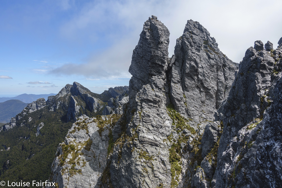
Fast forward: Guardians summit
I had already begun on this delightful mission, as some favourites were a lot easier to reach than some of the ones I hadn’t yet climbed. This week I continued with favourites, and reclimbed Mt Gould and The Guardians. For at least ten years I have wanted to sleep by the tarn near the summit of The Guardians, and also on Gould Plateau. This would be my third summiting of Gould, and my second of The Guardians. All previous climbs had been far too fast. This time, I wanted to linger up high.
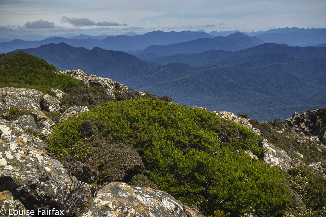
Guardians summit to leeawuleena and Mt Olympus
These two mountains are rather close to each other. My bash buddy and I had two full days and nights at our disposal, with a booking on the 9 a.m. ferry on day 3. The way to organise this dream then was to have a very long day 1, a super-cool and relaxed day 2 and a dash for the splash on day 3.
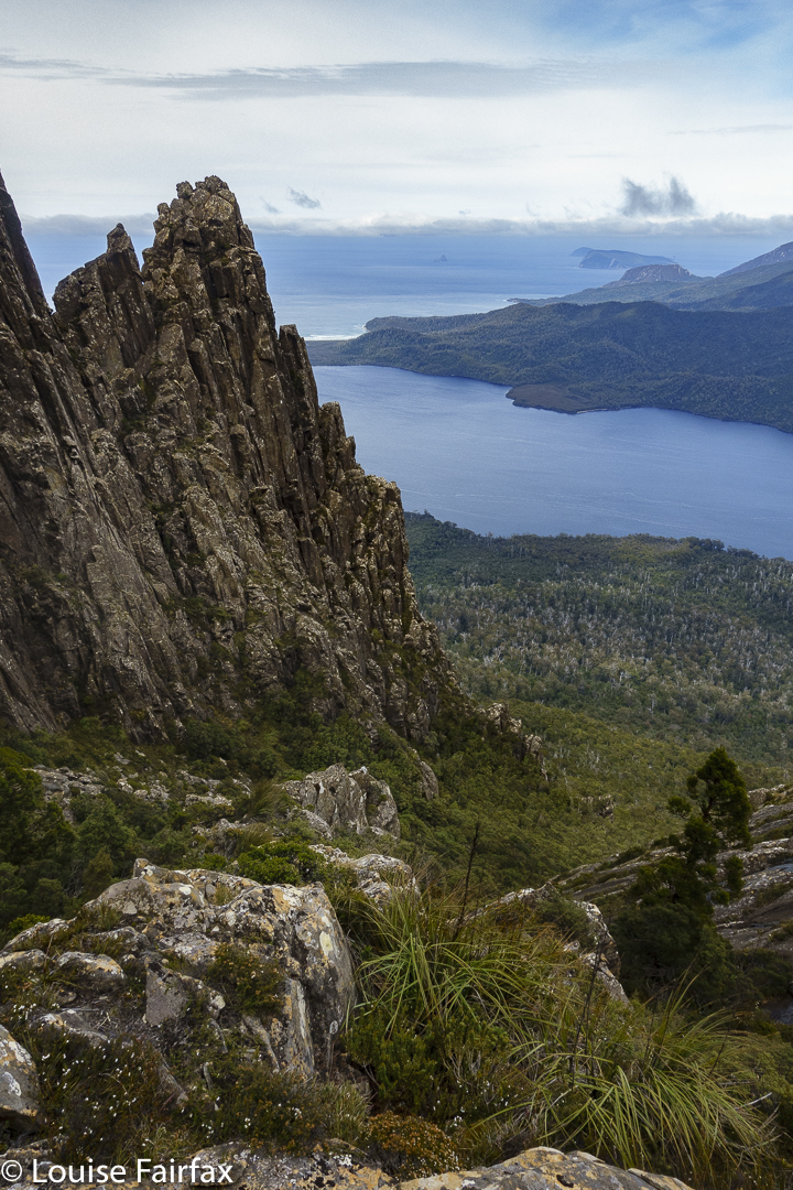
Guardians summit view
I got to enjoy a beautiful dawn at leeawuleena (Lake St Clair) before day 1 officially began with the ferry ride, so I was already floating with beauty (and had already taken far too many photos) by the 9 a.m. journey to the end of the lake with other excited walkers – all except us from interstate.
The first two splits were nice and quick, and we were at Pine Valley Hut after only 2 hrs 6 mins’ walking.
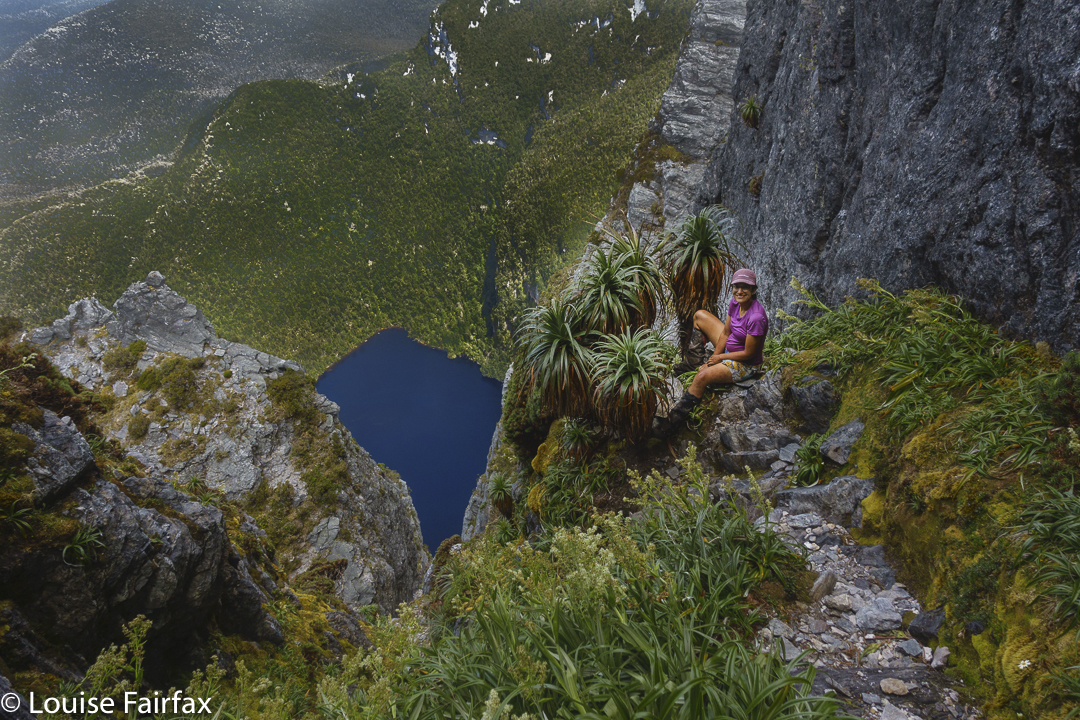
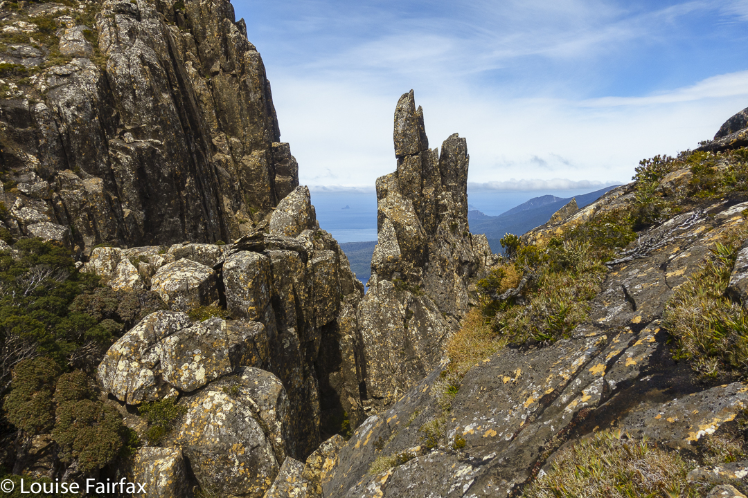
Guardians cliffs Louise
By the time we climbed to the Parthenon saddle, the day had started to warm up. I was still in my famous pink (now maliciously torn) coat, and overheated terribly, but we were setting a great pace and still had heaps of distance before us, so I didn’t feel like breaking the rhythm by stopping. I like doing climbs without interruption, so I sweated a fury and just put up with the heat. I was glad to breast the final bump to the saddle, throw off my nuisance pack and have a welcome drink. Were we half way yet? I fear not.
The day got hotter, so the going got tougher. We carried a lot of water for the next section over the Minotaur, knowing there would be none until we reached a basin beyond the summit, near the Minotaur-Gould saddle.
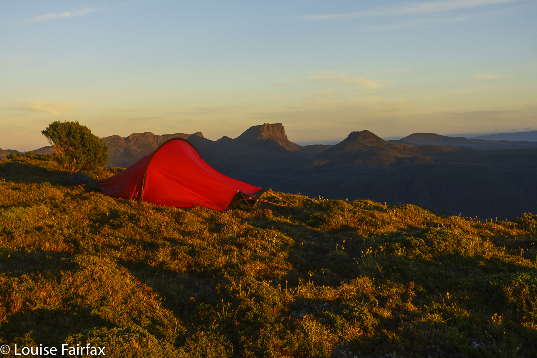
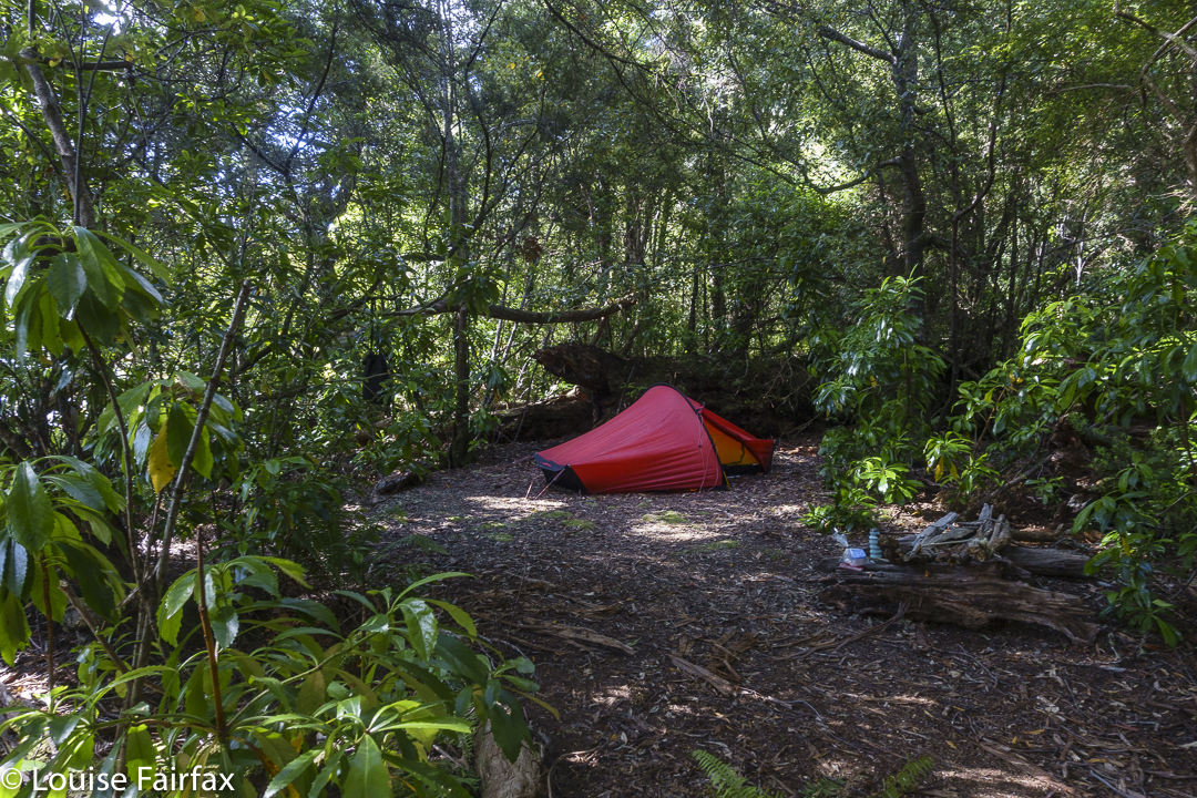
Tent spot evening
As we approached said basin, we saw rather a lot of tents down there in the middle of nowhere. It was a bunch of Victorians, most of whom were recovering from what they described as a horrendous bush bash the previous day around the belly of Gould – a patch I have done twice already, so know what they were talking about. Their voices and faces said more than their words about how they felt about that section of their trip. It can certainly be an unforgiving area, as we would re-experience next day.
Tent spot evening
Most of them were lying in the sun, relaxing and enjoying the calm while two of them were climbing The Guardians. They were nice people and there was water there, so we tossed off our packs and spent at least half an hour chatting to them. My watch said we now had oodles of time. All need for haste had long-since vanished. We reckoned it would only take another hour or so to reach the summit of The Guardians from there, so forgot the watches and enjoyed the company of fellow walkers with similar interests.
Dawn next day
Eventually we bid farewell and set off for the final section. Unfortunately this lasted a bit longer than expected, as my stomach started cramping and I felt very sick. Twice I needed to lie in the grass to alleviate the pain. We have decided the puddle in the Parthenon saddle wasn’t as pure as its clarity suggested. Anyway, I was sure glad to see the tarn, dump my pack, pitch my tent and be horizontal for long enough to soften the cramps. It all eased surprisingly quickly, so we decided to summit while the going was good, play around the cliff tops for a little and then have dinner as the final act of the day.
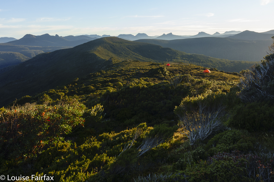
Tents from above
Of course, it wasn’t my final act, and after eating, I set back out to photograph, but I was glad our order of events had been what it was, as the temperature was already dropping to be near its promised minus one over night, and my hands were freezing; the wind was cold. Later, my tent would flap noisily for most of the night. I was too lazy and warm to go out and tighten the guy ropes until about 2 a.m., when I decided enough was enough, and left my warm and cosy aegis to attend to the noise.
Moody cliffs
We had no busy agenda for day 2, and I am not sure that I’ve ever had such a slow first half of a day. I observed sunrise mostly from the comfort of my tent (it wasn’t magic) and then had breakfast cooked in the vestibule, looking out my peep holes to see how the day was progressing. It was time to depitch, but my tent was sopping, and so was Andrew’s, so we went for an explore along the cliffs not yet visited to give the tents time to rid themselves of heavy water.
New tent spot
Well. That coped with the problem of what to do with a long day and not too many kilometres to fill it. We didn’t reach the pack dump point on Gould until 11.30. I hate going uphill slowly, so we didn’t loiter on the “straight-up” climb, where I was in my element doing what I call a pussycat climb – all four limbs working like a feline. The trip down was more like a huge slide at the playground. Loved it. Nice and quick!
New tent spot
We still had a huge number of hours to fill in and even less distance to cover, so strung out lunch. It would have made much more sense to continue on to Narcissus, but I had my heart set on sleeping up high. I told Andrew to feel free to go down and I would join him on the morrow, but I really did want to sleep high.
Playing in the evening
Well; I managed to fill in at least one of those spare hours by landing us in a shocking patch of absolute, unadulterated YUK. All was going just fine. I’d led us around the belly in the bushes very nicely, and then we’d dropped down right on cue to a beautiful mossy gully area. Then along. And then we found two random pink tapes running perpendicular to our line of travel. I checked my map. No, we weren’t to go up or down here, as suggested by the tapes, but we explored both up and down on the off chance. Both led to blockades of scoparia. But, … so did straight ahead. There seemed to be no nice way to go anywhere. And why on earth were there two tapes here in the middle of nowhere, with no beginning and no end? Where was the taper going? It was very confusing.
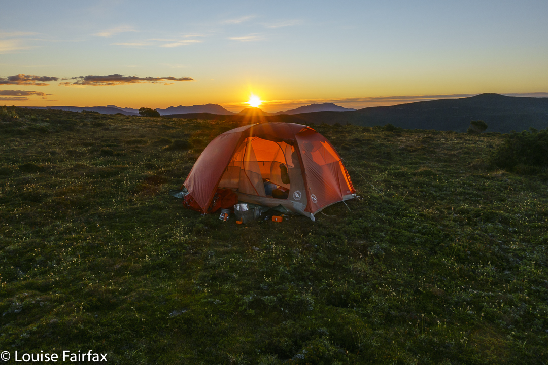
Sunset arrives
We to’d and fro’d and up’d and down’d and were irretrievably stuck. I got out the gps where I had tracked the route the last time I had done this. We were on it. Oh. Yuk. We shoved and pushed, we climbed over the top of bushes, grunting and heaving our way to nowhere much. But, if you shove for long enough you kind of get somewhere, so eventually we got to the plateau below.
I was absolutely exhausted in a way I don’t often experience. My hip flexors and glutes were aching even without taking a step. I was absolutely done in, and very glad that my planned bed for the night was only a shortish distance away. Any snail on the planet would have beaten me as I inched my way to the tarn.
Sunset
Hoorah. There. Andrew didn’t like my tarn, so chose a spot that he felt was more sheltered and more comfortable and a tiny bit nearer to the next goal of the ferry. My spot was chosen for its photographic opportunities. I wandered and shot and had a lovely evening, singing seeing’s I had the freedom to do so.
Evening glow
The next morning involved an early start, as we still had what might possibly take two hours to do (it only took 1 hr 38, but you need to allow for emergencies). I passed Andrew’s tent spot, but he had left earlier (we had agreed to meet at the ferry and not at his spot), so it was a crisp business-like stride-out down the steep slope and along to the ferry. I only stopped for photos once, when a beautiful patch of Aurantiporus pulcherrimus specimens caught my eye. My legs seemed to have completely recovered from the previous day’s scoparia battle. I still have bruises and scratches to remind me that it wasn’t all easy, however.
“Camp Hill! Why on earth have you saved THAT until last? “, N asked.
“Well, why on earth would you do something like Camp Hill unless you absolutely had to,” was my response.
But when you are only one Abel short of a complete set, and that one is, you guessed, Camp Hill, then you have to do it if you want to complete, and I did, so that was that. Funnily, nobody much seemed to want to come too. Excuses were many and varied. In desperation, I resolved to go it alone. My bashbuddy, Andrew, perhaps fearing for my life as well as my sanity, agreed to come too, trying very hard to rationalise his stupidity to himself: “It will come in handy for later.” Good one Andrew.
Collingwood River, where it all begins
Even more mysterious was the message from a friend, Rita, whom I had met in the wilderness, who said at the last minute that she was free to come as well. Did she know exactly what she was letting herself in for? Oh well; she does now. She loves adventures, and this was to be a double one. I did say – was it to one or both? – that if they had any ancestors who had been knights in yesteryear, then they should raid the relevant museum for the armour, just for the trip. It was not going to be a place to wear clothes they valued.
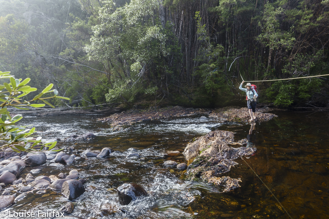
Rita crosses the Collingwood River
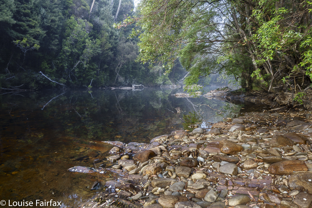
So, there we were at the startline: the magnificent Collingwood River, which is crossed before the big climb begins. The light was magic; the water, a honeyed colour, quietly wending its way over a wonderful collection of coloured boulders beneath.
Rocky Hill evening
That was to be our very last water for a very long time, so we carried plenty – enough to last for a long, hot, uphill haul with nothing available before we would scout around for something to enable dinner to take place. The skies were cloudless and already you could feel the heat. Much of our day would be out in the open, which makes for thirsty work. Well, here we were. What would be, would be. I was going to get to this summit even if I had to crawl there. Famous last words: I did (have to crawl, and snake, and waddle like a sick duck).
Rocky Hill sunset
The early forest was really beautiful , and we didn’t take it for granted. Before it was time for our second break, we had already left its shady greenness, exchanging it for scrubby melaleucas and then for buttongrass expanses.
We were gaily walking along, chatting away in the middle of very remote wilderness, and I hear a voice saying: “That must be Louise Fairfax.” It was Nick “weetbix” from the bushwalking forum, who knew from other friends that I wanted Camp Hill. There is no actual pad where we all were, and he was following a line below ours, but, hearing us, he came up to say “Hello”. It was a fun chance encounter. On our return, we labelled this bump “Weetbix Hill”. He was on his way out, and confirmed what we already knew: viz., that there was hardly any water out there.
Rocky Hill summit; sunset.
On we pressed. Soon enough, we were on a different high point, which I have always called Rocky South, from which both our goals were now visible – “both” being Rocky Hill, and our ultimate goal, Camp Hill. (Why is an Abel over 1100 metres high, with a drop of 150 ms all around given the insulting sobriquet “hill”??) We would spend the night on Rocky, and attack Camp next day.
Rocky Hill summit; sunset.
We enjoyed the summit of Rocky, pitched our tents just beneath it, and then needed to solve the water problem. Off we set with carrying equipment and all our water storage capabilities. I had a 6 litre bladder which would do me. We dropped off the mountain on a pretty direct route, being guided by a friend’s one from the past. Hm. It was @#$%* awful. We voted to not return by that line, and dismissed him as a creditable source of information. But first, we needed to locate water from the low area we were now in. The initial few creeks were now ex-creeks, so the search continued. We wanted water, not mud. Lots of water. All we found were puddles, but I tasted the drop in the deepest (still far too shallow), and it was sweet, so we filled up. Weetbix later told me that he was entertained with visions of us searching hundreds of yabby holes in endless succession up the top for kilometres, in a vain search for water.
Ozothamnus rodwayi Rocky Hill
Anyway, we now had some, and began to climb the mountain again, much heavier. The first part was easy and lovely, but then the pad ended abruptly. Hating the descent further east, we opted to try a somewhat more direct route up. Rita reckons this was the hardest part of the whole trip. Ultimately, we had to climb a cliff via the interwoven branches of a nothofagus gunnii (common name – Tanglefoot – for a reason) , and using that height, haul ourselves up by tree roots to breast the rise over the cliff that blocked us. We laughed about our adventure as we walked the final bit back to our tents. Now we had enough water to last at least 20 hours.
Rocky Hill campsite. Frenchman also visible
Sunset that night was wonderful. Rita and I sat together on the summit, taking in the loveliness of the first orange and then more pastel fading light. Only when there was basically no light left did we reluctantly lose a tiny bit of height to go to bed. Day 2. We knew this would be another hot day, and we also knew it would probably be a waterless one, so we left armed with what we would need to fund the day. For every step that was easy, I gave thanks, for I knew it would not, could not, last. The ease left kind of gradually, with the scrub getting thicker in small degrees as we progressed.
Rocky Hill. Morning light
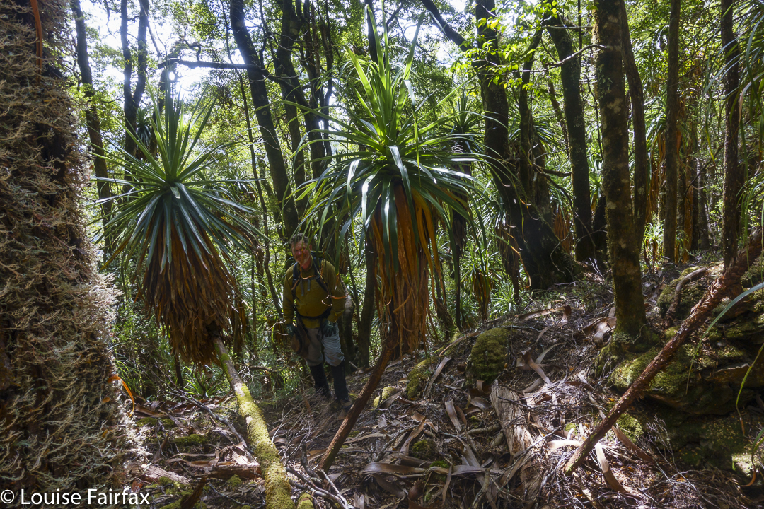
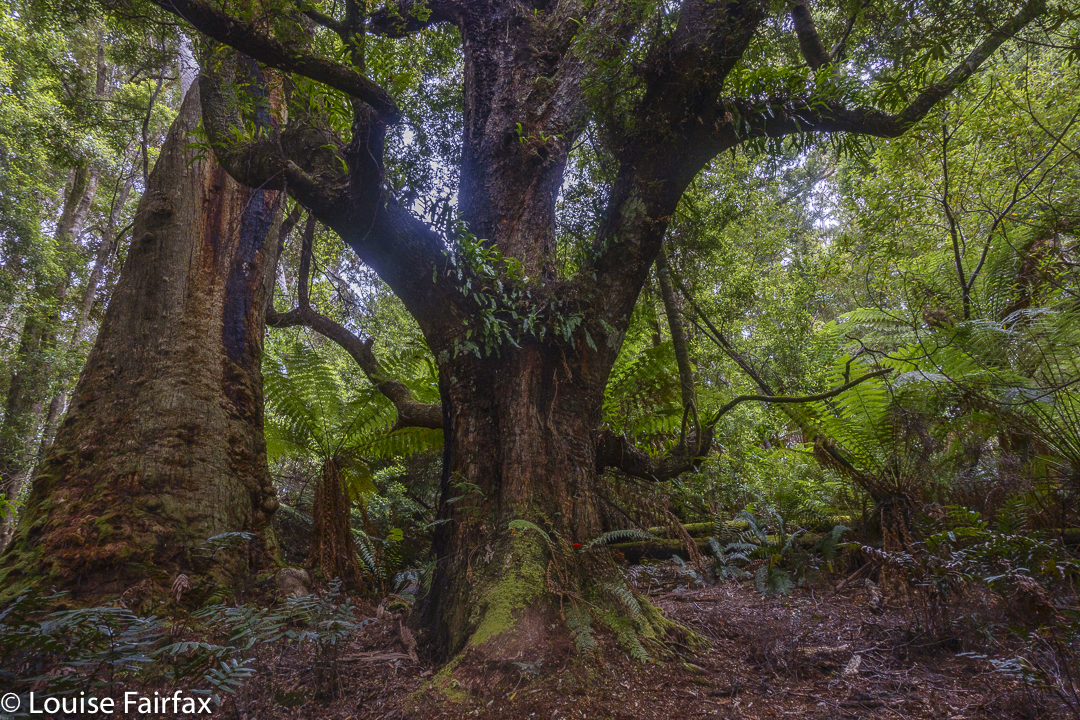
Down we dropped off Rocky (very easy) and up the next nameless lump (not too bad), then, hm, down to a saddle of ill repute, with the scrub getting more vigorous in its lack of welcome with every step. The saddle was described by the book as “bushy”. Nothing else had been, so I feared the worst. Also, a friend had recounted horror stories, so when we veered every so lightly off the line of ridges and into a pandani forest, we were all very happy, and voted to stay there and go below the saddle. We loved it. This pandani forest was our favourite part of the route, and we all considered it well worth the extra distance and climb. Even in those desiccated conditions, you could still imagine the moss to be fresh and lush; the cliffs to drip soothing water. The pandani had marvellous shapes and we were cool and happy there.
More bush fighting took place, and at last we were staring at our summit, which was so very close, just “up there”, and I thought we were maybe twenty minutes away, max. Ha ha. I also thought we’d done the worst. Another ha ha. After a quick drink, we set out for the final push.
The tents below as we set out for Camp Hill
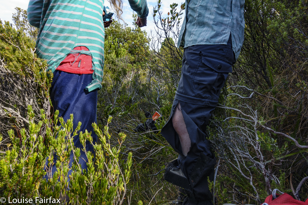
Forget the word “easy”. We were met with a total blockade of bush too high to go over, too dense to go around. Russian troops on the Ukrainian border, eat your hearts out. This bush knows how to repel invaders. Now, here we encountered a little problem: Rita and Louise are small. We found we could crawl like wombats, slither like snakes and waddle like demented ducks and with enough weaving, pushing and grunting, a way through could be achieved, as long as you didn’t mind forest getting in all your underclothes, filling your socks and tangling your hair. Andrew, being taller, did not quite have these options, so he chose a different route, and we met at the end of assorted tunnels. Andrew and Rita tore their pants. I ripped my famous pink jacket. My shoes lost some stitching. Our arms were scratched and pin-cushioned and mine now have purple bruises all over them. BUT, we got there.
Pandani forest under the saddle between a lump and Camp. We loved it there
That was it. I have now climbed all the Abels. I still don’t quite believe it. That was something other people did, not people the likes of little old me. We touched together, and then sat for absolute ages beside what would normally be a tarn, but was now a sort of lizard-skin pattern of dried, cracked ex-mud. We turned our backs to it and to the sun, and gazed out at the view to the west, snacking and drinking. Our day had no other big plans; there was no rush to be anywhere. We just sat and enjoyed.
Rita enjoying a late dinner in her tent. Rocky South
Back at camp later, we had a second lunch – for me, a feast of soup and some dip with biscuits, and a rest in stinking hot, march-fly attacking environs. My tent was unbearable but the flies were too bad if I remained outside. Luckily, Rita invited me to rest in her amazing tent that opens right up whilst having the netting remain closed to fly visitors. A breeze caressed my skin. It was beautiful.
The other two, being more normal drinkers than I am, did not have enough water left for us to stay here the night, so after resting, we packed up our tents, descended the mountain, collected water from a different puddle down below – enough water to last until the end of the trip (which is rather a lot), and then climbed Rocky South (1111 ms asl) to camp up there.
Torn clothes. Repair Knob
And from there, the rest was, as they say, downhill. Well, not quite. We had to undulate over Vague Hill, Weetbix Hill, Repair Knob and Pigeon House Hill before dropping back to the Collingwood River, mission complete. All of us will have to throw out most of the clothes we wore for this trip. My Kämpéla orienteering pants, however, stood firm. I have been wearing these same pants in orienteering competitions and bushwalks since the 1990s. Hoorah for Scandinavian fabric. I will keep wearing my torn pink jacket, however, as nobody might recognise me if I throw it away, and that would be sad. Old friends are good friends.
“I’m setting out tomorrow to try to climb Federation Peak,” I told my friend. “I’m scared,” I added.
“Yes”, he said, “I can hear it in your voice.”
Oh.
“But Louise,” he wisely appended, “if you WEREN’T scared, I’d be worried about you.” Yes. He’s right. A little respectful fear is an asset. However, I rather think that I had far more than a little respectful fear. What I was feeling was more akin to uncontrolled terror. I had never felt quite like this before, and I have done some pretty scary things in my life.
Climbing Moss Ridge
Ever since the incredible email arrived from my friends Alex and Nitya asking if I’d like to join in on their attempt at Feder, I had been in an odd state of generalised anxiety. Every single night in my dreams, I fell off Feder. The only variable that altered was the amount I fell before the first bounce. I always woke before landing exactly in Lake Geeves 600 ms below. I guess my friends didn’t realise quite what a cot case I was when they were so foolish as to invite me.
Arriving at Bechervaise Plateau
I told myself that the drive to Hobart was actually more dangerous, with a much higher chance of death than Feder offered, but this statement of reason only mildly attenuated my fear. Sometimes you have to confront your worst demons, however. Sigh. Feder, here I come. If I live, I will be a better person in that I will have been made a bit stronger by jumping a seemingly insurmountable hurdle. I bid my dog an almost tearful farewell, took in my lovely home view for possibly the last time, and headed south.
The infamous Geeves Gully. You climb down that
Luckily for me, the CD I had in my car disc slot was mountain music. There is nothing more calculated to make me feel happy and confident than music from the Alps. You can belittle me for loving yodelling, alpine horns and the like, but you can’t ever stop them making me feel totally joyous. I arrived to meet my friends in a pretty good mood. Andrew, my climbing partner for some of my most fun and hardest peaks, was also coming, so the four of us were meeting up so that introductions could be done over coffee and sweet treats rather than on the track. I had met Alex and Nitya in a mountain hut eight years ago, and, although we have maintained email contact, I hadn’t seen them since.
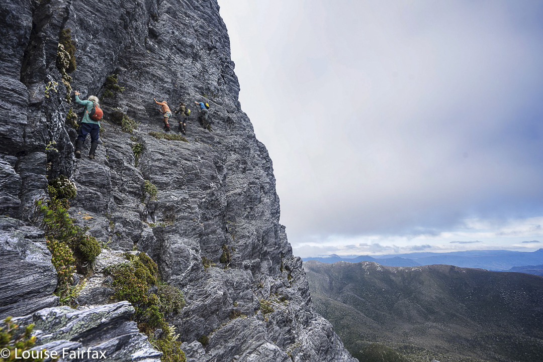
Climbing the face of Federation. (Photo cred Alex)
Fast forward: now we are on the track. Our goal for day 1, Cutting Camp, just before Moss Ridge. It was to be a pretty long day. This part of the route was attractive, much of it being beside gurgling water on the Farmhouse Creek track, but after 8 hours 45 mins’ elapsed time (6 hrs 40 walking time: it was a VERY hot day), I was very happy to be dumping my rucksack. After dinner, two other guys from Melbourne, whom we had passed along the way, rolled into camp. Now we were a fun group of six. I wasn’t even scared now, just living in the moment and enjoying the company. I still had no commitment whatsoever to actually climbing, and thought I would back out of the real action fairly early once it began, but I was looking forward to sleeping on Bechervaise Plateau the next night.
Half way up Federation maybe
Our programme for day 2 was to take the tents etc up to Bechervaise in the morning, have a rest, and then summit after lunch. Rob and Hugh, the two guys who were also in camp, hoped to do the walk in a day without the heavy packs. We original four set out nice and early after breakfast, up the amazing Moss Ridge. You could pay $500 to an amusement centre and not get such a fun obstacle course. I thoroughly enjoyed every moment. Not was it the best fun workout ever, but it was also, as its name implies, mossy – and green and cool and wonderful along with it. It climbs rather a lot.
View to Hanging Lake and Geeves Bluff
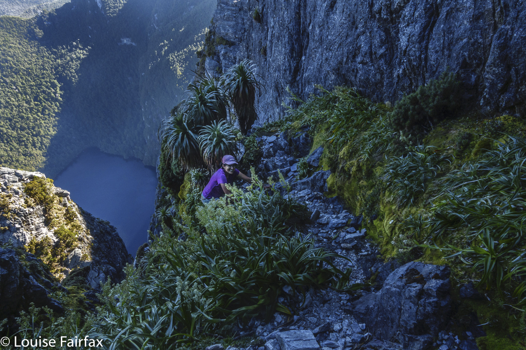
And there we were at Bechervaise: place of great reputation, and the starting point for the climb in this direction. Just as we were about to set out again, Rob and Hugh arrived, with Hugh exhausted as he is suffering badly from “Long Covid”. His fatigue meant that he only wanted to lie down and rest while we climbed, so Rob joined our little party. It was such a happy group, it was hard to abandon myself entirely to fear. Off we set, up a slope that gains no mention anywhere, but which has pretty perpendicular sides with a sizeable drop should you decide to leap to the side with no care. I looked down and thought: “Oh heck. That drop is awfully exposed, and nobody even gives it half a thought. I just can’t do this, but I’ll go until I really can’t.”
The descent begins (Thanks Alex)
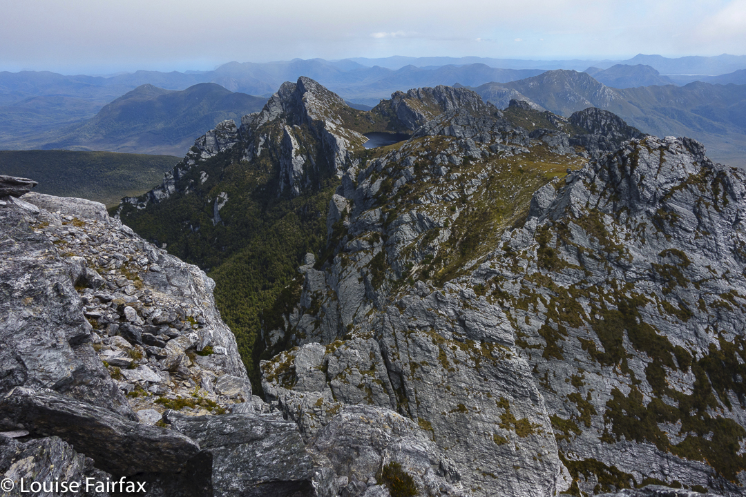
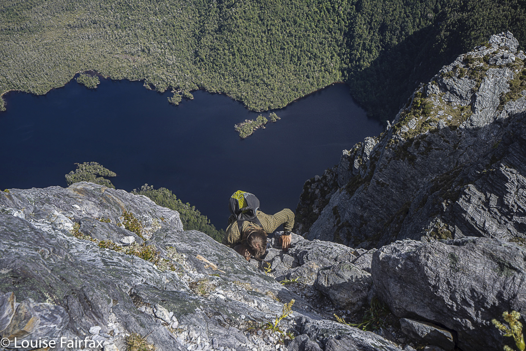
Up we climbed, joining the infamous Southern Traverse, where a girl fell to her death just a few years ago. I haven’t actually a clue about which part of this traverse effected her demise, but was not in a mood to seek more specific information. All I can tell you was that when I looked down Geeves Gully to the lake 600 odd metres directly below, I freaked out (very quietly), and offered to go back. I hadn’t even got to the face of my mountain and I was terrified.
Retracing our steps
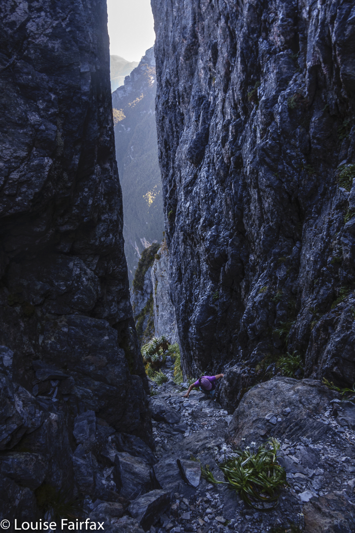
Luckily for me, Alex didn’t accept my offer, but, rather, encouraged me by telling me this was definitely reputed to be one of a very few extremely challenging (emotionally) bits. I broke it into sections. OK, I can go as far as there (pointing) and reassess. One ‘there’ led to another, and soon I was looking up at the chockstone which held no particular threat as far as I was concerned.
The descent also involves some climbing
The rest of the climb has left very few details in my brain. I was there in body, but my mind was totally absorbed, concentrating on the moment, on the very immediate task of taking the next careful and safe step. Mostly I had the comfort of knowing that Alex was behind me, leading from the back. Immediately in front of me was Nitya, an extremely good climber who is small like me, so who was choosing “little person” routes and not necessarily those taken by the taller Andrew and Rob up ahead.
The light starts to get interesting as we linger longer. There’s no rush.
Sometimes the route became unclear. It seemed there were cairns everywhere and with no pattern. We had to explore several possibilities. This was done mostly by Andrew and Alex, so that gave me a little time to detox (and photograph).
Back at our tents
I could never, ever, I am sure, have managed the testing ledges and “mound” without having Alex nearby, instructing me as to the next safe hand or foot hold, or just encouraging me that I had chosen the right one. Ahead was Nitya choosing a route over an obstacle I had been dreading rather than going around it as others had spoken about. I could do that. Hoorah. Soon Alex was telling me I had done all the hard bits. Now I just had to stroll up to the summit. I could feel it was true. This was an utterly unbelievable fact: meagre Louise Fairfax was about to summit Australia’s ne plus ultra when it comes to mountains. I had trouble holding back the tears as I took the final few steps. Rob said later he felt like an imposter being up there, and I totally got it. I was there, but only because of my team, because incredibly supportive and capable people had invited me to join them. But I was there, and to say I was “happy” is an understatement that brooks the absurd.
Evening by the tents
I had always thought (in anticipation), that I would be in a rush to get down, out of danger, but once there, I was totally comfortable, and there was no need at all to escape or to rush in any way. Our tents were not too far away, and there was still plenty of light. We ate, photographed and enjoyed the lingering moment before making a leisurely descent.
Evening .. while dinner cooks
Going down is, they say, harder than ascending, and, technically, they are right, but for me the big obstacle was conquering the fearful enormity of just getting there, and Alex had been such a strength placed behind me, with Nitya before (and, of course, the others in front of that) that I felt confident I could do what I had just done in reverse. I felt no particular terror on the way down, merely the need to keep concentrating. The drop to Lake Geeves had not magically decreased; it was still necessary to do all the things I had done on the way up, and, most importantly for me, it was “keep three points of contact and don’t look down”.
Paparazzi shooting the evening light
We didn’t arrive at camp until 5.45. Considering one thing and another, we suggested the guys stay up with us, even though they had no food or bedding. We said we could feed them, and they did have a tarp. They stayed, which was fun to continue the party.
Dawn Day 3
My final words before going to bed were: “Don’t you two go getting hypothermic; if you need to warm up, both Andrew and I can move over in our tents and make room for you.” Nitya and Alex’s tent was full.
Dawn Day 3 Bechervaise
Next morning Alex, Rob and I were up at 5.30 to photograph the beautiful dawn together. Alex asked me if I’d slept well, and I said: “Not really. Sorry Rob, I’m sure you were pretty cold, but I was too hot, and had to strip down to my undies.” It was then that I discovered the embarrassing fact that Rob and Hugh had both been freezing. Hugh had knocked on Andrew’s tent, and received hospitality. Rob came to mine and kept saying: “Louise. Louise. Are you awake?” Everybody else was, but Louise didn’t stir. Not a scrap. Alex thought maybe I’d managed to climb Feder but had now had heart failure. Nobody could rouse me. Poor Alex and Nitya, who had no room, manufactured some out of nowhere. I slept comfortably on (it seems). I heard the strong wind. I saw at times the bright moon. But I never once heard my own name being called – and I no longer fell off Federation Peak in my dreams!
Dawn Day 3 Bechervaise
On day 3, we all walked out from Bechervaise to the cars, with the most dangerous event being an electric storm that was rather enthusiastic. We were tired but happy. Unfortunately, there was nothing much open (I think it was Australia Day), so we had to settle for greasies in the gutter at Huonville. Somehow, to my warped sense of humour, this seemed a fun and fitting end to our unexpected adventure.
Last break before the cars. A happy group of friends
Why does one put oneself through something like that? It certainly wasn’t to give myself bragging rights, or to tick another box. I guess I – and most of the others who climb Feder – am a person who likes to be the most capable version of the me that is possible. I don’t push boundaries to be smart, but to fully “self-actualise” in Rogerian terms. Like Killian Jornet, I feel very alive when I have extended myself to do something I considered a difficult challenge. If I fail to do something, I want it to be because I am just not good enough rather than because I never gave it a decent attempt. Of course, to try something that you clearly can’t do, and which is dangerous, is mere stupidity. I guess I was lining up for Feder because I did feel I was ready if things went well. I was not committed to attempt it at any cost, because those people can die.
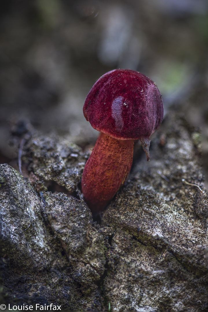
One tiny Boletellus obscurecoccineus was hiding right on the track near the end.
Cognitive Dissonance Theory says that if you expend a great deal of energy or time or money on a task, then, to avoid cognitive dissonance, you will rate that task as having been very worthwhile. Meanwhile, both Edmund Burke and Immanuel Kant, when examining their theories of the beautiful and the sublime in the 1700s, acknowledged that going to the very border of our fears and then retreating to safety leads to a feeling of expansion and joy that is labelled sublime. Both thinkers linked a feeling of the sublime with terror, danger, awe and pain. I went to the very borders of my fears and have retreated to safety. I feel a huge sense of wellbeing, expansion and satisfaction. I love Federation Peak. I confronted my greatest fears and came out alive.
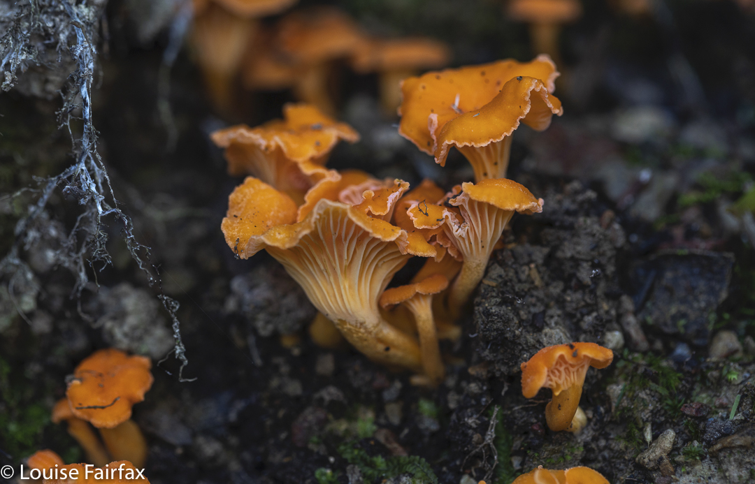
Cantharellus concinnus liked a few moist spots
Before I close, I have to say that my debt extends further than to the fabulous people mentioned in this trip. I would like to publicly thank “tortoise” from the Bushwalk Australia forum, who talked to me about overcoming her own fears of Federation. Taking up her advice, I did a high ropes course out at Hollybank to practise being 25ms up in the trees with nothing under my feet but wobbly planks of wood and bits of rope. It was truly fantastic. And I did a climbing and abseiling course with Ian at https://www.mountainbiketasmania.com.au , which also helped to boost my confidence. I paid fully for both, and was not asked to say that. Both are small businesses which do not pollute the environment, and so I wish them well.
I had decided Precipitous Bluff (PB to its bushwalking friends) was beyond my capabilities. I had already been blown off the Southern Ranges by gales and blizzards seemingly countless times before. I had tried a solo venture last year, only to break my wrist and have to retreat after the first day. Then, my Bush Buddy friend Andrew and I had tried together just a few weeks ago, and were turned back on summit day by rain. Meanwhile, we had found the endless kilometres of thigh-deep mud, of resisting, prickly scoparia and the time-wasting, demoralising false leads to all be less than enjoyable to the extent that we declared in agreement we never wanted to return. I thought that meant I would never get PB, and would never get all the Abels. Oh well, such is life. There is a lot more to life than completing lists. When your soul mate dies, it helps you see things in broader perspective, and to realise the importance of staying alive and being with the people you love. Lists are just a game.
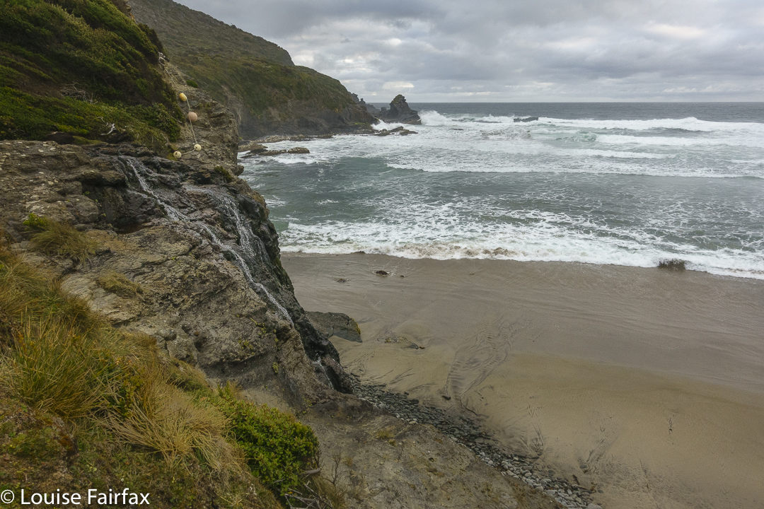
South Cape Rivulet far below. The journey has begun
Leisel Jones said about her swimming gold medals: “If you are not enough without a gold medal, you will never be enough with one.” I like those words, and I feel that way about Abels. If I am not enough of a person or a bushwalker without a complete set, I will not be a better one of either (person or bushwoman) with one. I have amassed many athletic prizes and achievements. If they don’t give me respect as a sportswoman, a complete set of Abels never will.
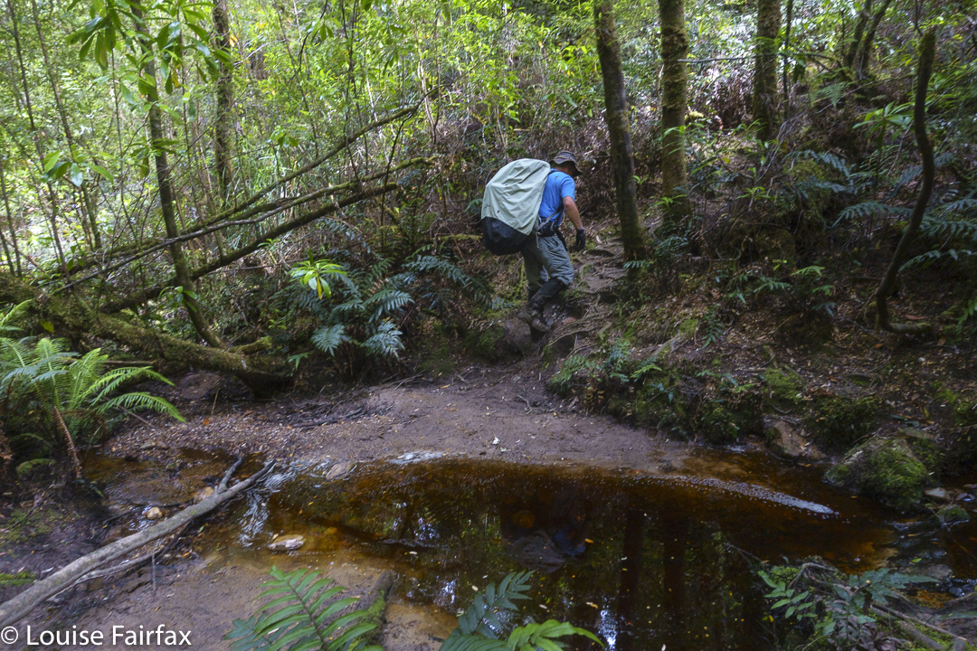
Typical forest through which we walked. Can you spot the Aurantiporus pulcherrimus?
But meanwhile, my friend Andrew is more persistent than I am, for which I am grateful. He phoned just before Christmas, telling me there was a weather window of opportunity to climb PB from below if I began my way south on Boxing day. We met up early on 27th for an assault on our old nemesis. I was unexpectedly free, having only very recently cancelled arrangements to go to NSW to celebrate the season with my Fairfax relatives, which I had reluctantly done because of the alarming rate at which Covid was spreading up there. The freedoms of less educated and more selfish members of that state brought about my captivity. However, the end result in this case is positive. I missed out on having family with me at Christmas, but gained a fabulous experience of a different kind.
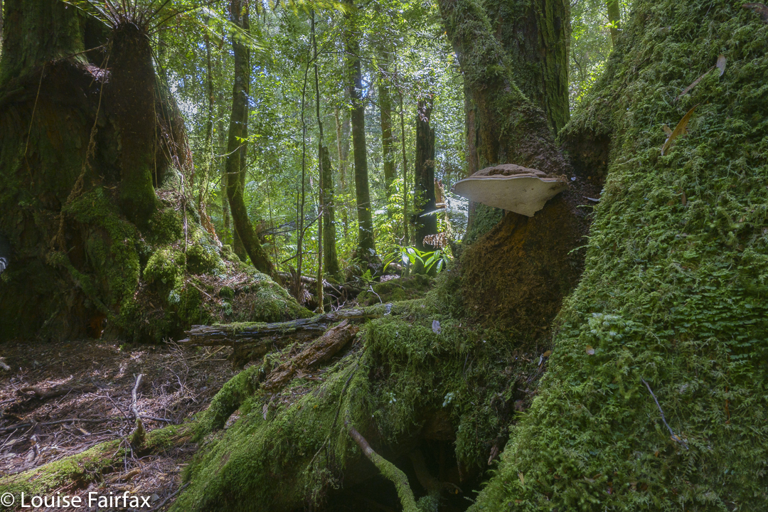
Fomes hemitephrus specimens were in abundance in the lush forest.
But, returning to my theme that I considered PB to be beyond me: between the start line and the goal lay a lagoon: New River Lagoon, with waters deep and cold. I am short and skinny (ie, no protective adipose layer to warm me up, and the waters would come up much higher on my body than is the case for someone taller). I don’t like gelid water. I really could not envisage myself getting up this lagoon to climb the peak, let alone getting back.
Let the tale begin. Day 1. (Hobart to) Cockle Creek to Granite Beach. 7 hrs 31 mins’ walking.
The first split, Cockle Creek to the ocean at Lion Rock went well. We were fresh, and although our packs were heavy, and although I tried to curb my excitement and slow down so as to pace myself for the long haul, we arrived at the coast in the tidy time of 1 hr 30. (On the rebound, trying to be fast and with lighter packs, it took 2 hours!)
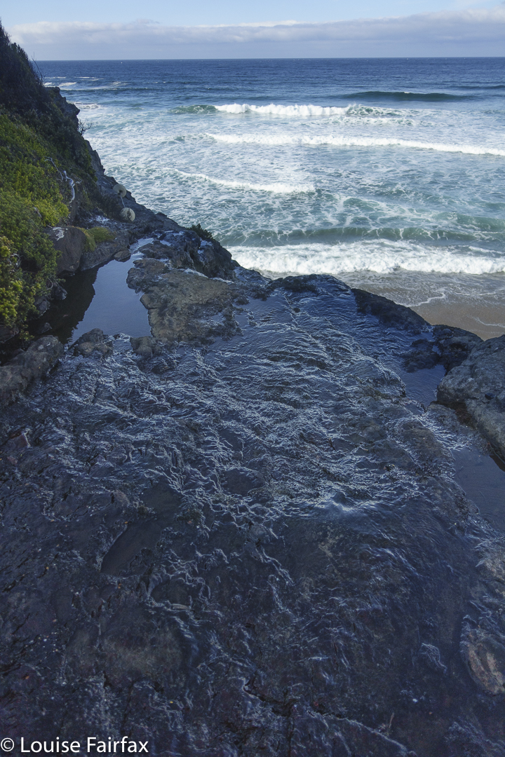
Granite Beach waterfall. Boy was I glad to see that!
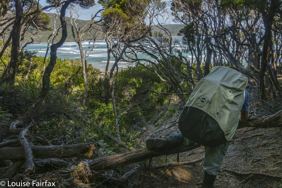
We tried to save time by going the low way around Lion Rock, but the rocks were very slippery and there were no readily available foot or hand holds, so we decided to go the long way over the headland for safety. Grr. I had done the short route with babies in yesteryear, running with a baby etc in my pack to avoid being smashed by waves. How did I do that?? Maybe storms or climate change have altered conditions since then.
It was still morning, but we had lunch at South Cape Rivulet anyway, just to give ourselves a break before the big grind up Flat Rock Hill. We had the campsite to ourselves. The water was a bit brackish, so I was glad we were moving on. Anyway, it was far too early to stop. On our return, this campsite would be so full it seemed like a tent ghetto: people and rubbish everywhere.
The South Cape Rivulet to Granite Beach section, in both directions, seemed like a big mud slog. I looked at the map, not at the time realising the quantity of mud, and still thought it would take many hours just to execute the climb, let alone the descent. I was pretty right. The mud was deep and diabolical (there had been quite a lot of rain in the recent past), and it seemed to go on for a long time. The highlight was seeing a ginger-coloured spotted quoll with shining pelt, right up close on one of our rests.
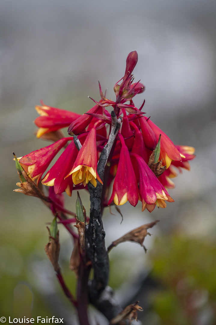
Blandfordia punicea – only one fresh one left on the route. Lots of old ones.
At long last, after a very steep descent that made me ponder what it would be like later in the reverse direction, we reached Granite Beach. Here we were met by the wonderful Rima, who offered to get water while I pitched my tent. That night we sat around a circle that also included Tabitha, Cat and Alex, and Emma and Chris. We talked books, the environment and more, and Cat who, with Alex, had climbed PB as part of this trip, gave me some really useful tips about negotiating the lagoon. She had harboured the same kinds of fears that I still held, but she had overcome them and succeeded. That gave me courage to at least give it my best effort. Thanks Cat if you are reading this.
I gps’d most of this route, but had to estimate a section that looked about 8 km equivs long with altitude. It seems the day was about 27 kms long, which is about right for the time taken. Day 2. Granite Beach to Surprise Bay to Prion Beach to near the end of the New River Lagoon. 7 hours 30 mins’ walking and wading.
I actually felt really sad to leave our new-found friends behind, but our directions of travel were opposite, so on we pressed, firstly to the beautiful Surprise Bay. This only took an hour and a half, so that was good.
New River Lagoon campsite Day 2 at the end of the day
We had a lot to achieve this day, so didn’t linger, and pressed on. In this section, you climb a nameless knob that is quite taxing despite its lack of a name, go through a hot open marshy section, collect more nameless knobs and eventually walk along looking down on the outlet of New River Lagoon and out across the pure white sands of Prion Beach to the Ironbounds and islands to the west for what seems an eternity, before at last arriving at your goal (or temporary goal), hot and thirsty. Oh no. There is no fresh water – just tepid brackish lagoon water. Yuk! We had planned on a nice rest here, but I hated it. Not only was there no tempting water, but the place was full of plastic and foam rubbish washed ashore from ships. I found it totally repugnant and couldn’t get away fast enough. Luckily Andrew agreed. Well, if there was one impetus needed to get me into that lagoon, this was it. The other was that the tide was well past low by now, and the longer we delayed, the deeper the water would become. Like a deep sea diver, I kind of held my breath and plunged. Wade, wade. Hey. The water didn’t feel too bad at all. South Cape Rivulet had been so cold I had barely made it across, but this was much warmer. I could do this.
New River Lagoon from our tentspot 2.6K short of PB campsite
As Cat had warned, there were heaps of obstacles under foot, hidden by the depths and darkness. It wasn’t just a matter of wading. Four minutes after setting out, I tripped on something, and sat in the water up past my waist. I thought I had thereby wet everything precious to me (electronics and sleeping stuff, as well as the clothes I was wearing). Luckily, adrenalin had me standing up in a flash, and, in the end, nothing got irretrievably wet. Fortune was on my side: my coat and gear dried out as I walked, and I didn’t fall in again, despite being gusted and buffeted about by the wind that was building up and creating waves on the water that plashed against me.
Andrew with his tent at our New River lagoon campsite
What nobody had warned me about – maybe they didn’t experience it – was the absolute exhaustion involved in shifting boots that now weighed an absolute ton through kilometre after kilometre of thigh-deep water. My hip flexors and glutes began to absolutely ache with the exercise for which I was insufficiently trained, despite doing leg presses and other weights to the maximum of my ability in the gym. I thought my daily running up steep slopes would have prepared those muscles for almost anything, but it seems I was wrong. My gps told me later that the total distance was 7.55 kms of lagoon. Unfortunately, I was totally exhausted with about 2.6 kms to go. I could have pressed on until I dropped – I am that type – but reason suggested that even if I did that, I would absolutely not be in any shape to climb PB the next day, and if we were not doing that, we might as well stop for the night at this lovely little beach where we were having a rest with water nearby from an unmapped small creek. Luckily Andrew agreed, so we pitched our tents just a bit short of our goal, but far enough away that it dictated we would not be summiting the next day. PB would require a whole day of devotion.
About 21 km equivalents Day 3.Almost a rest day: wading along New River Lagoon. 2.2 kms as the crow flies; 2.6 kms in reality, as measured by my gps. 1 hr 15 mins’ wading.
Precipitous Bluff PB seen from our approach at lagoon level
Whilst chatting about the previous day, it became clear that I had wasted an awful lot of time and energy trying to stabilise myself and prevent another fall due to general buffeting, lack of visibility of the bottom and the slimy, algae-coated stones somewhere down there in the murky depths. Andrew suggested he help stabilise me by holding an arm to see if that helped. The final part of the lagoon flew by, as now I just had to push water with sodden, lead-weighted boots, but didn’t have to bother about the rest. “Buddying” was definitely the go.
What luxury. A whole day in this magnificent rainforest. How utterly beautiful!!!!
We carefully chose our real estate for the night. Louise photographed. Andrew used washed-up timber and ship-dumped rope to construct an arm-chair that a later arrival, Matt, suggested could be a raft to get us all back up the lagoon. We visited and explored the cave, and rearranged seemingly random tapes to form a coherent route that would save time in the morning and evening on the morrow, thereby cutting 40 minutes for that section each way down to 10 the next day!
PB Basecamp. My trusty tent
We missed the fun company of the first night, thinking by the time we had finished dinner that we were to have another night with just two of us. Then Rod and Matt appeared out of the water. Like Andrew and me, they had tried to summit PB from the other direction, been blown off the range, and were now trying from below. Soon thereafter, appeared an exhausted Raika and Andrew from New Zealand, who had come over PB from the Southern Ranges. I take my hat off to anyone who has managed to overcome all the obstacles of that route. We all joked about Bog Saddle, the scoparia and more. Now we were six, and we had a fun and sociable evening together. Day 4. Precipitous Bluff: the beast itself. 7.22 horizontal kms + 11.67 vertical yields 18.9 km equivalents, each way. 38 km equivalents for the day.
4 hrs 08 up; 3 hrs 12 mins descent.
Cliffs of PB. Getting higher now (Day 4)
Just to be certain the four of us summitting that day got up nice and early to ensure the job got done. Andrew and I packed head torches just in case. I think the other two did too. We were absolutely determined to get it this time. Rod said the winds would pick up after lunch. I feared we would not be there by then and begged to be anchored down should I be in danger of being blasted off the top. I imagined myself snaking or crawling the whole way from emerging at the top to the summit, as I have had to do sometimes in the UK – in Scotland and the Lakes.
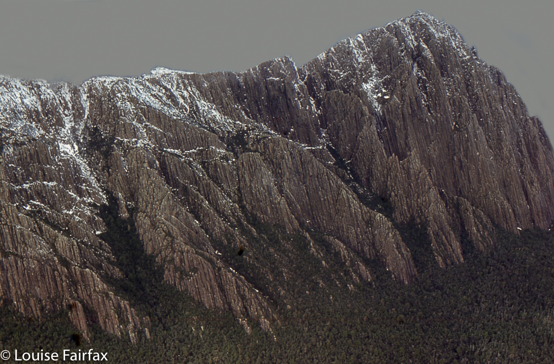
Precipitous Bluff – nearly at the top
Ready to roll, off we set, so happy with the mere 10 minutes to the start of the whopping climb up the steep slope that we knew would take a long time. One hour from the tents, we had a break, and I was very disappointed at the amount we had climbed (a mere 250 ms). However, that split also involved quite a bit of horizontal distance as well. Once the slope became more vertical, our metre climbed per hour rate rapidly improved. In 2 hrs 23 mins steep climbing up the slope that I assume is made of limestone-based rock, we had reached the cliffs.
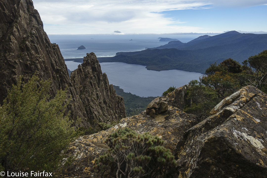
Summit view to Federation Peak
The undulating traverse along the base seemed interminable (43 mins, actually). Then came the longed-for actual climb up the chute between the dolerite columns from the base up over the top and down a bit to the sheltered saddle which forms High Camp. This took a mere 36 minutes. I climbed like an excited pussy cat, singing with joy as I went. I was so, so very happy to be there. Even whilst climbing, if you looked back over your shoulder, you got absolutely fantastic views both of mountains to the north, and beaches to the south. Oh boy what a feeling!!
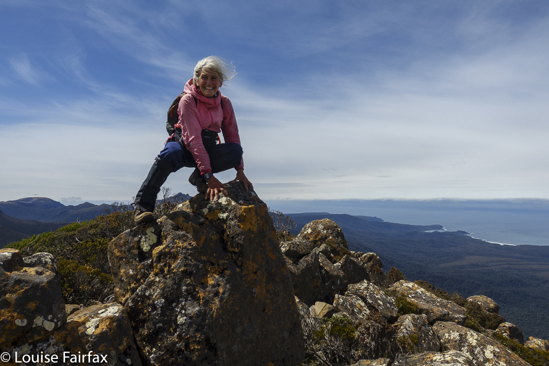
Excited Louise on Precipitous Bluff
I just could not contain my excitement in the final 16 minutes to the actual summit. I wanted to touch together, but just couldn’t hold myself back from scampering. I did make sure not to touch without Andrew.
We saw someone coming, and thought it was Rod. However, it was a lovely guy called Mark, who had come from Wylly Plateau. While Andrew chatted to his wife on the phone in a sheltered spot, Mark and I braved the now mounting winds, staring at all our visible mountain friends and at both our routes below, comparing notes. He, like me, had had his watch ripped off his wrist by the scoparia, and like us and everyone else we spoke to, had got disoriented in Bog Saddle. This is my name for a nameless dump of mud, but when I use it, absolutely nobody asks me what I am referring to, and all know exactly which spot I mean. The name needs the stamp of officialdom.
Precipitous Bluff view descending
Andrew kindly sent my daughters a text to say I was safe while he still had the phone in service, and we then went down to the calmer high camp for lunch. Even there, my food was mildly swept away as I assembled it, and Andrew’s anorak briefly took flight.
As a result of the fact that the winds would only get worse, and we knew exactly how ferocious they could be up there, we made a hasty retreat, having enjoyed the spectator sport of watching the other two finishing off the climb while we ate, colourful ants moving across a green landscape.
The trip down was uneventful, and was speedier than the way up. The really steep part was exactly the same split as the trip up; the traverse was actually a bit slower; but the less severely steep lower slopes were a lot faster on the rebound. High fives were shared. How utterly amazing. I had done PB. What a happy day!!! Day 5. PB base (New River Lagoon) to Prion Beach to Surprise Bay.22.2 km equivalents. 7 hrs 02 mins’ walking and wading
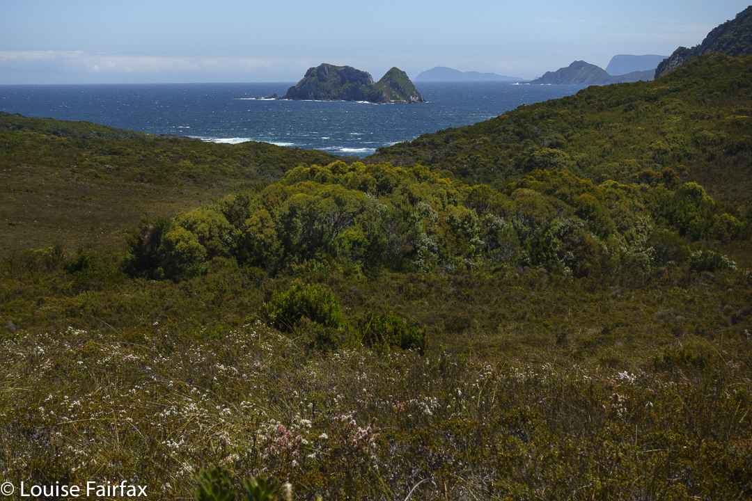
Hen Island and Rocky Boat Inlet once back on the coast after Prion Beach
Sigh. Here we go again with the lagoon effort. My boots had almost dried out but I was about to turn them to lead again. Andrew kindly steadied me the whole way, so my muscles didn’t ache until right at the end (and not nearly as badly as on the way out), and we were heaps faster, but not as fast as Rod and Matt who disappeared out of sight after they had been able to go deep around the last creek, but I, being shorter, had required us to go inland and had then had trouble crossing one of the three grouped creeks. I thought we would never see them again. Sad.
Andrew leaves Snack Ck en route to Surprise Bay
Prion was just as horrifically rubbishy and unproviding in acceptable water as on the way in, so we gave it short shift and immediately set out (after wringing out socks and emptying boots of a few litres of water [me; Andrew wore crocs, but I can’t]) for the next camp site. This was theoretically Osmiridion Beach, but neither of us felt the slightest bit inclined to spend the afternoon swatting mosquitoes there, and we were both still full of walking, so pressed happily on to Surprise Bay, which I greatly fancied spending more time at. It had definitely been my favourite beach on the way in.
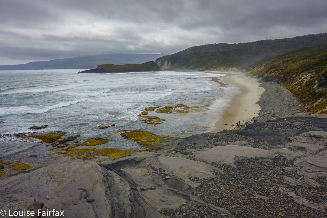
Descent to Surprise Bay
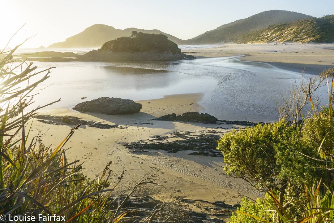
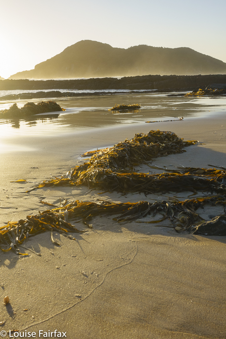
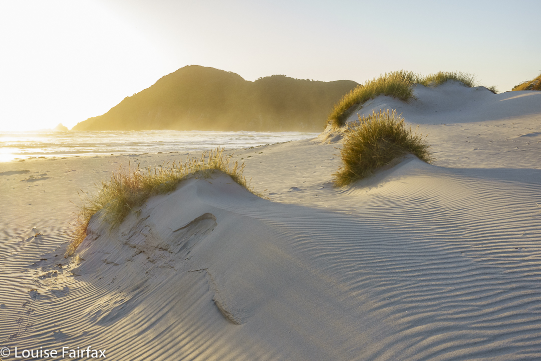
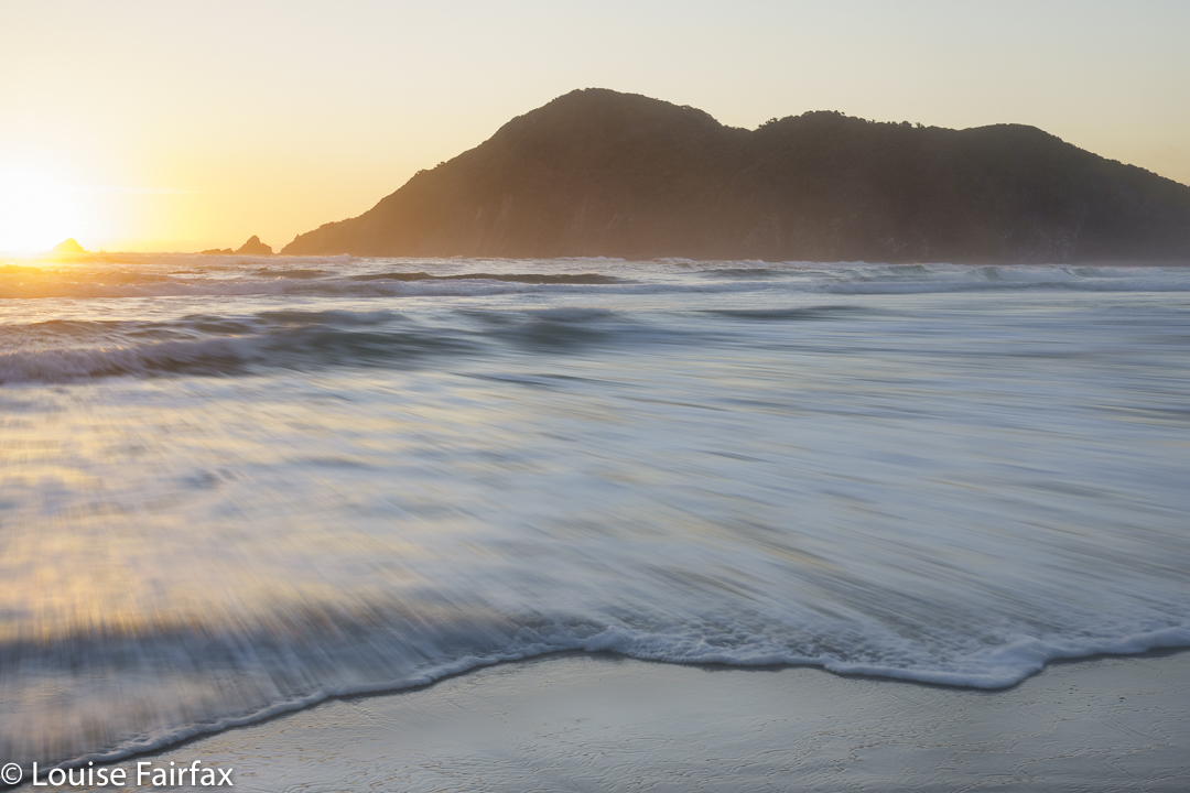
That was a good decision. After a delicious dinner, with Apricot Crumble for dessert kindly supplied as a treat by Andrew, he chatted to the next new acquaintance who had more than probably thought he would get the place to himself, Darren, while I went on to the beach and spent a happy hour or two photographing shapes and scenes as the golden sun sank its gradual way to the horizon and the shadows lengthened. I was so very sad not to have one of my good full-frame cameras with me, but this trip had been really tough, and I could not have coped with a heavy camera.
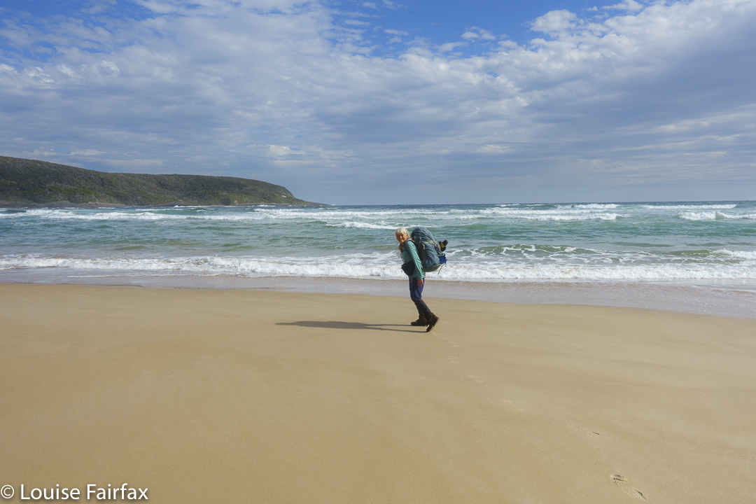
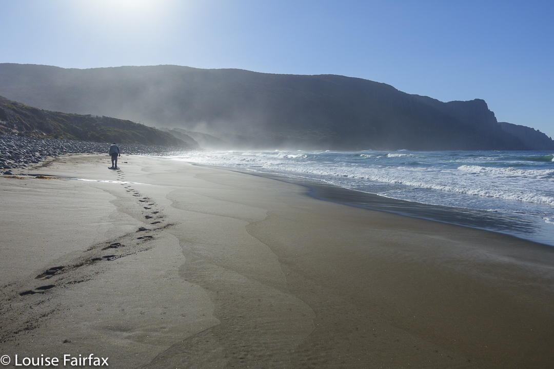
Louise walking along Surprise Bay Beach
I couldn’t even cope with my “compromise Fuji XT-30”, which I am growing to know and enjoy on occasions when a middle ground is required. (See the photos in my blog on Sharlands Peak,
http://www.natureloverswalks.com/sharlands-peak-frenchmans-cap-2021/).
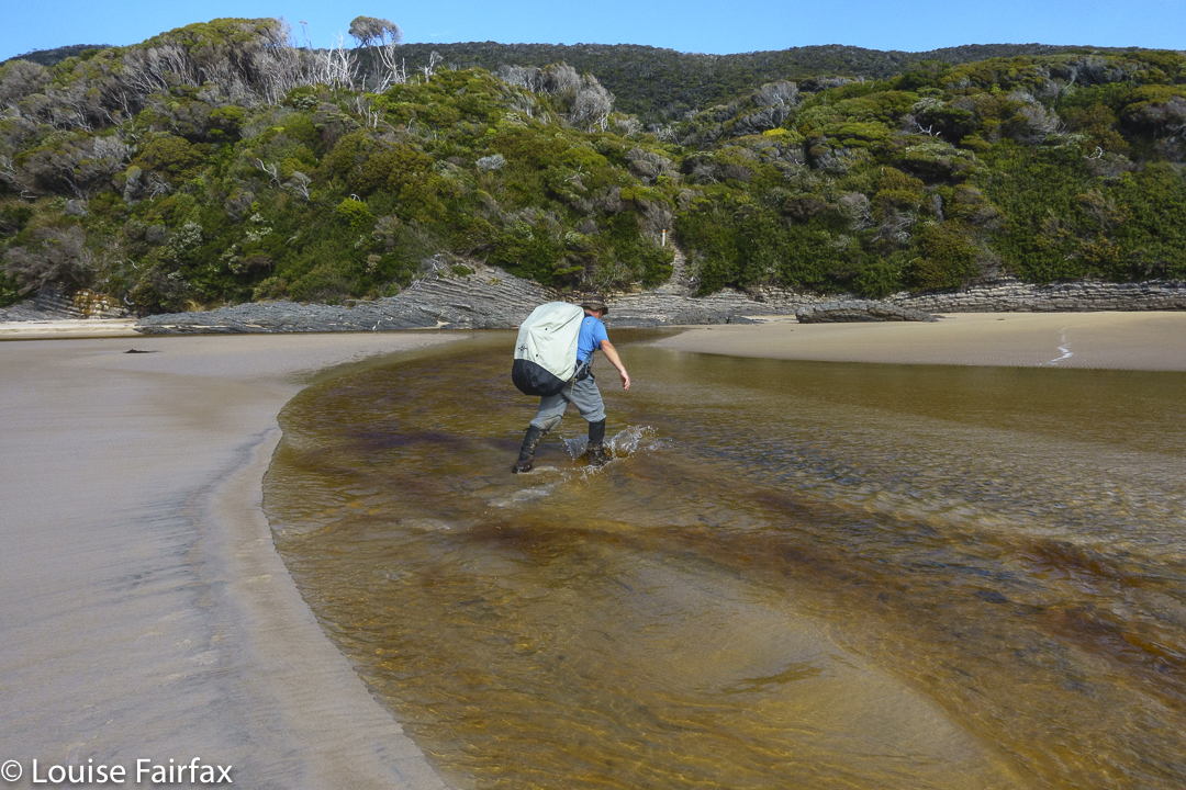
Andrew crossing Surprise Rivulet
This trip, alas, was one for my Sony RX100, which is the lightest, shoots RAW and has full manual control, but the advantages end there. So much is lacking to my eyes used to the detail and light management that a full sensor allows. I am so upset that I couldn’t do with that tool all that I desired with the fabulous scenes unfolding before me. Such is life.
Surprise Bay eveningSurprise Bay eveningSurprise BaySurprise Bay
Day 6. Surprise Bay to Granite Beach to South Cape Rivulet, to Lion Rock to Cockle Creek. 35.43 km equivalents. 9 hours 03 mins’ walking (stumbling).
The day was fresh, the light appealing, the air warm but not hot as we embarked on the final day of our journey. Darren had set out ahead of us, but I was pretty sure we would see him further on. What I didn’t expect was to come across Matt and Rod at Granite Beach, quietly packing up their tent after our first hour. They had muttered about perhaps going down to Osmiridion. They must have flown after lunch. I must ask about what food they pack! Ha.
Surprise Bay
They wished us Happy New Year. I didn’t even know it was NY Day. Did the world out there still exist? Was covid still a problem? Had politicians made any sensible or humane decisions? Had every other Tasmanian now caught it? We were locked in a safe and beautiful bubble in the wilderness. There were indeed heaps of mainlanders, but nobody with covid could be dealing with the demands of this track, muddy, long obstacle course that it was, without sinking in a hole. We all felt perfectly safe with each other.
Andrew traverses Granite Beach
Rod set out with Andrew. I fiddled around a bit before getting my act together. Matt packed the last of his things. On the steep slope out of Granite, Matt flew past. I could see Andrew and Rod ahead, but was tired and could not catch them. I slowed myself down more by photographing some “white waratah” (Agastachys odorata: stupid common name, as it looks absolutely nothing like a red, normal waratah, Telopea truncata). Eventually I caught up to Andrew who had kindly stopped to make sure I was OK.
Top of Granite Beach waterfall
We left Daren, having spent a bit of the trail with him, and just caught the others as they were leaving South Cape Rivulet, presumably having had a break there. I went off to find the toilet, which I found but it was permanently locked from the inside. People who had needed it had deposited their bundle unburied, and the area absolutely stank with the smell of uncovered human faeces. I wanted to vomit. Meanwhile, I have never seen so many people in my life at a supposed wilderness campsite, and the plastic rubbish all over the place was as repugnant as ever. Ach. It felt like civilisation. We were supposed to be in the wilderness. Once more, we dashed out of this place, foregoing the promised 1 hour’s rest and swim that we had agreed upon.
Lion Rock beach – last view of the coast. Farewell fantastic walk
The next part was a blur. I had not had enough water at lunchtime, as the creeks that the map said we crossed were not actually crossed at all by the route on the ground (which I gpx’d). I needed water which was not available, sugar which needed water to go with it, and rest. I got an insufficient amount of all three until we arrived – me in pretty bad shape – at the beach near Lion Rock. Here we found fresh water, no ugly rubbish, and a place to dump the packs and rest. I slowly munched an apricot nut chocolate bar with several cups of water and began to pick up.
At the end of the beach we met four lovely people who took a look at us, correctly read the loads and the body language, and congratulated us on finishing. Later, one of them imitated my body language at that point, stumbling to and fro in a simian kind of pose. I laughed.
“Did you see me trying to get up those huge steps?” I asked. I knew I had looked like a dead sloth crawling out of thick mud. “Yes”, he said and imitated that, too, amidst more laughter.
Luckily by then the sweetness of the bar, the rest and the water were starting to kick in, so my posture began to resemble my own species a bit more, and off we set for the final stint of our epic. What a happy, happy trip. Not just – or even because – I had climbed my mountain (although that helped), but in terms of beauty and sociability with the fun people we met along the way, I felt completely happy with every aspect of the trip.