Ragged Jack 2014 Nov

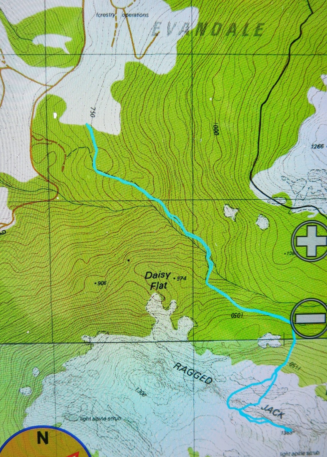
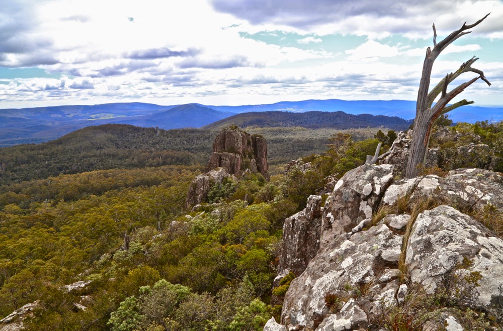
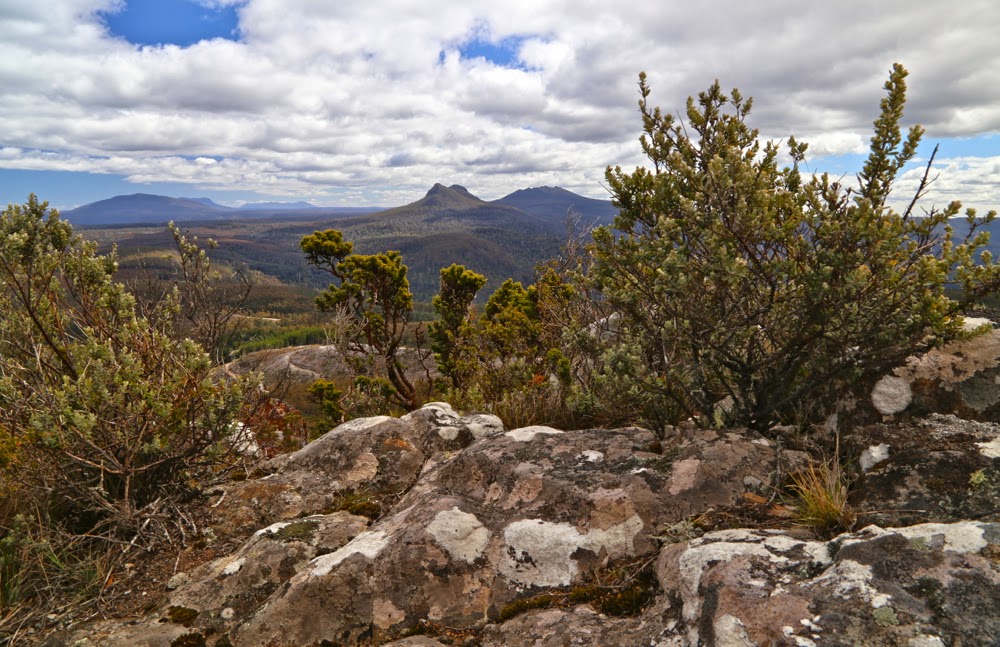
We have crested the slope at this stage, and believe (falsely) that the summit of Ragged Jack is only a quick play along the rocks away.

It now seems to me astonishing that I have driven past Ragged Jack so many times without ever noticing its existence. I guess my eyes were always fixed on the more dominating Ben Lomond massif behind, which grabs the limelight due to its bulk, and yet, Ragged Jack is a much more interesting shape. Now that I’ve climbed it and know of its presence, I think it’s a wonderful mountain, and can’t imagine failing to register it. John Berger, in his excellent book Ways of Seeing, discusses how knowledge influences what and how we see, and certainly, knowing Ragged Jack as I now do, will forever influence the way I regard it in the future.

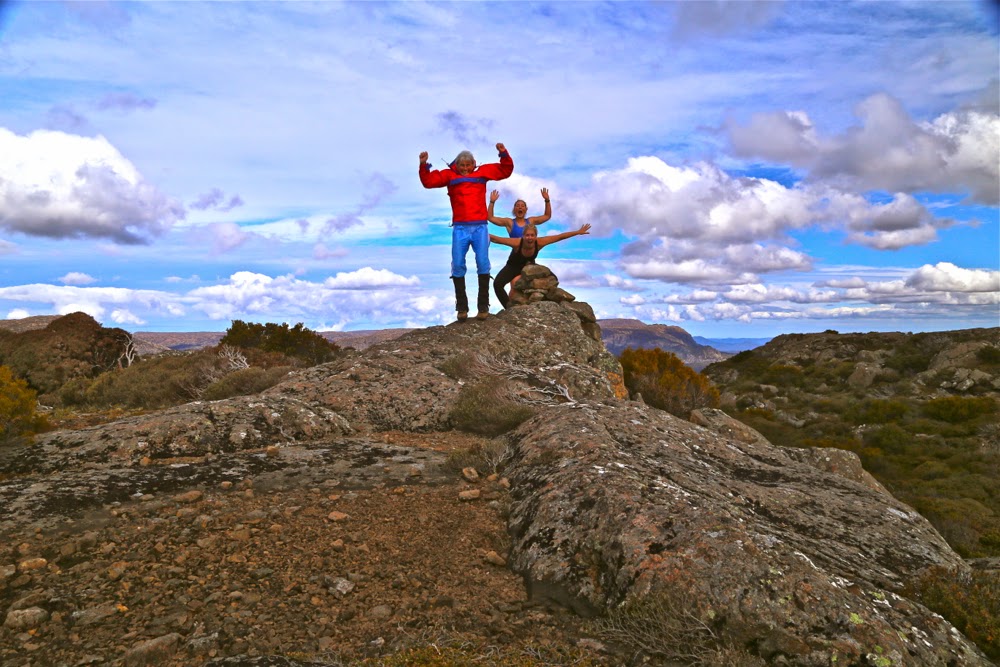
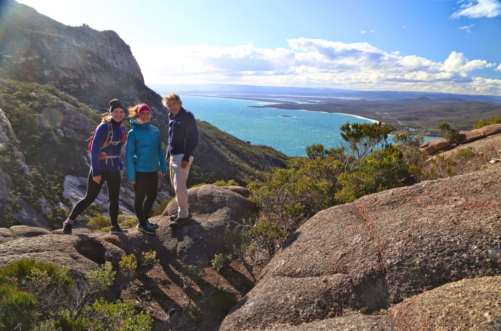
Having fun with the self-timer at the summit cairn.

It’s always wonderful when predicted bad weather moves through early (or fails to appear). Tomorrow was supposed to be the one sunny day of the week, but this morning, the sun was shining and the sky looked clear, so I suggested to my Swedish visitors that we go climb Ragged Jack after lunch. Of course, they readily agreed.

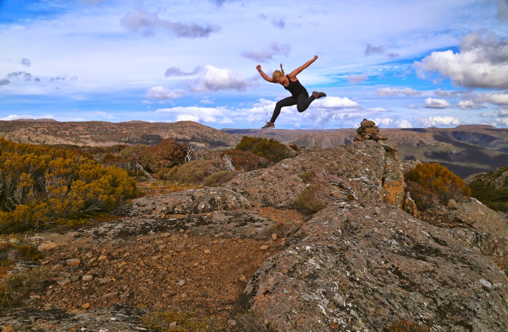
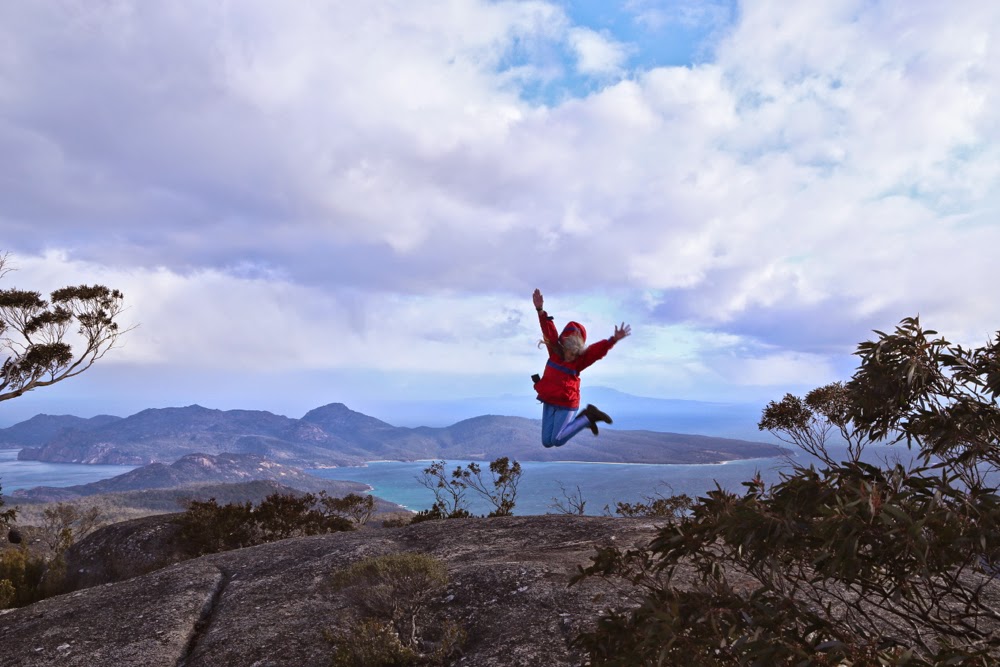
It works better with me at the button :-). Here is Salome jumping.
I have no idea why, but I was expecting very thick bush and a long section of bashing through it before emerging at a rocky section, final climb to the top. The actuality was far nicer than the expectation, and the girls and I enjoyed not only getting our two points (they’re now right into this points business) but we delighted in the climb itself, and the forest we went through.
As my car does not indicate decimal points of a km, as road RJ7 was not labelled, and as the gps said we were west of where we needed to be when we stopped, we were a little uncertain at the start, but decided to just climb anyway: the contours were self-evident and if the path we had was not the right one, we’d just go across to the real one through the bush at some other stage. As it was, the path did all the things I wanted it to, so we didn’t need to leave it.

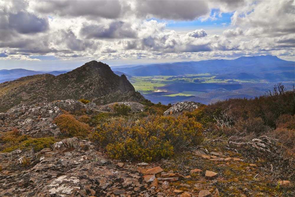
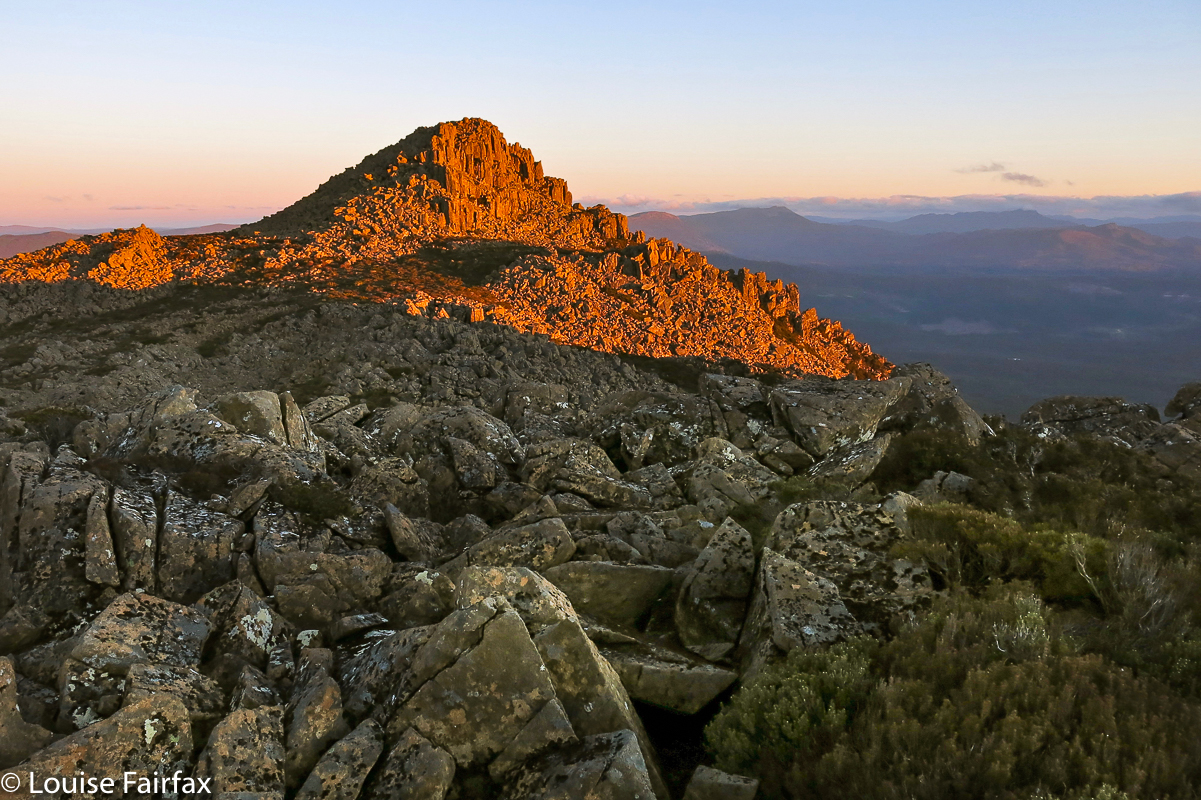
Summit view, looking to the southern end of the Ben Lomond massif.

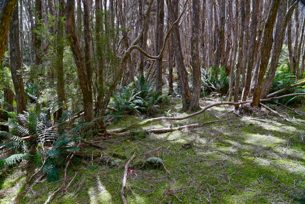
We climbed using it for 34 minutes, until we found the group of very obvious cairns that the book promised us. What we hadn’t been promised, but what made life easier, was a series of tapes and cairns that allowed us to chatter instead of concentrating on navigation as we climbed further through the terrain that was pretty open and nicely rocky. We were all enjoying ourselves, and playing “spot the cairn” like a treasure hunt with an obstacle course thrown in for good measure.

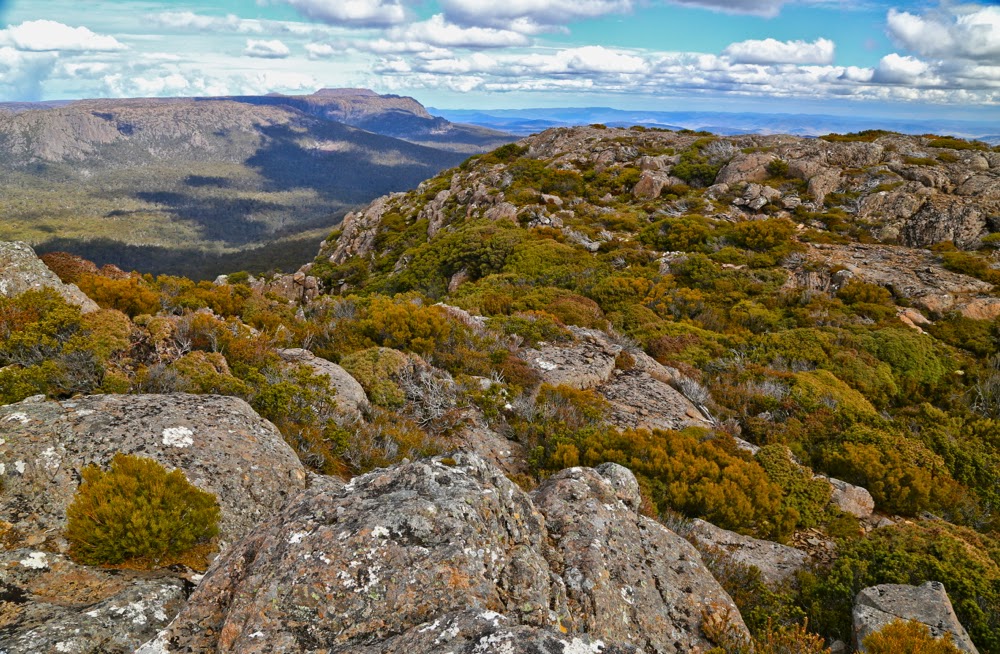
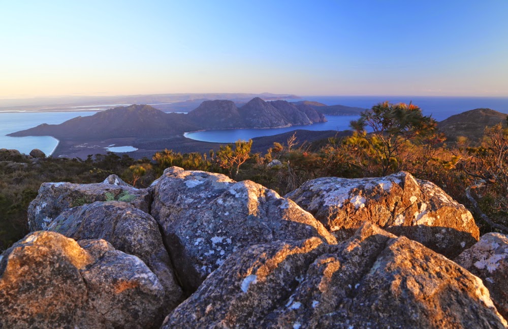
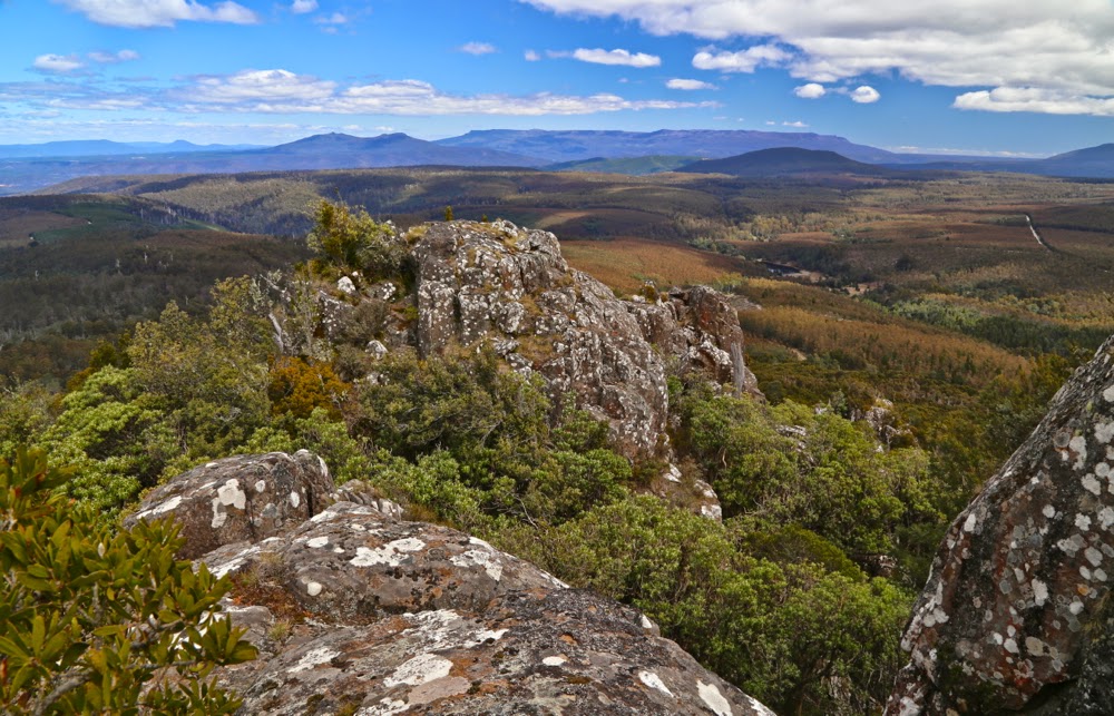
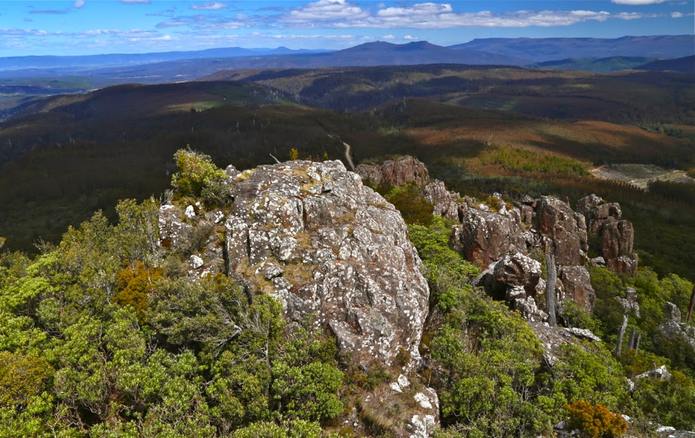
And my favourite summit view, to the other half of Ragged Jack and Mt Barrow beyond.
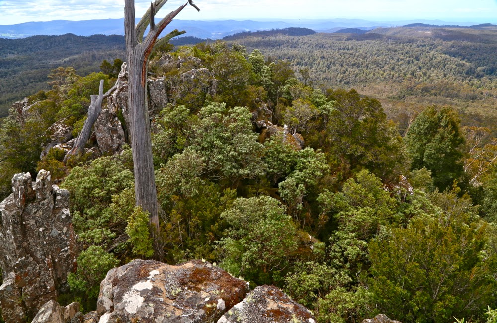
It took 30 minutes to climb from the path to a point where we had crested the main climb that lead to the summit. From there we just had to follow the cliff line to the highest point. That, however, was easier said than done, as it was here that we met thick bush that slowed us down as we tried to find less prickly paths through it (we were a lot more successful at that on the way back: such terrain is easier seen from above). The final part along the top took us 27 mins.

Up there we had our obligatory jumps and poses, a snack and a gaze at the surrounding mountains, and then it was time to descend, hoping to see the same wombat that Molly saw, but Salome missed, on the way up.

Freycinet, Mt, and Mt Graham 2014 Nov

Mt Freycinet and Mt Graham Nov 2014

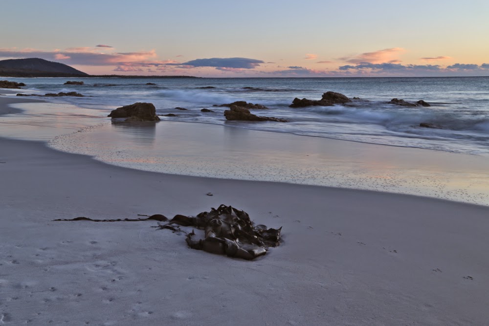
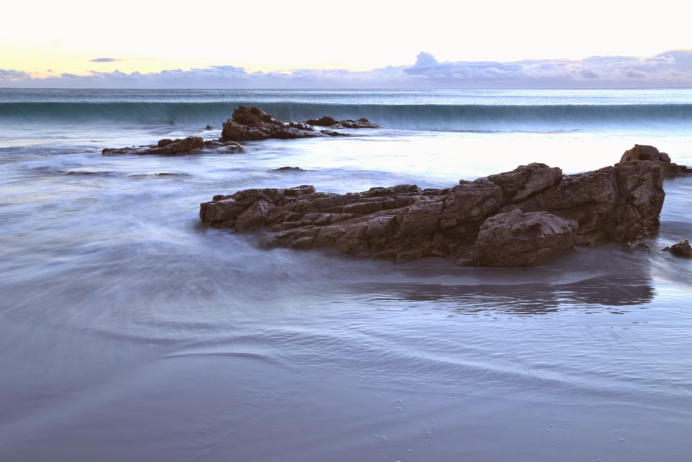
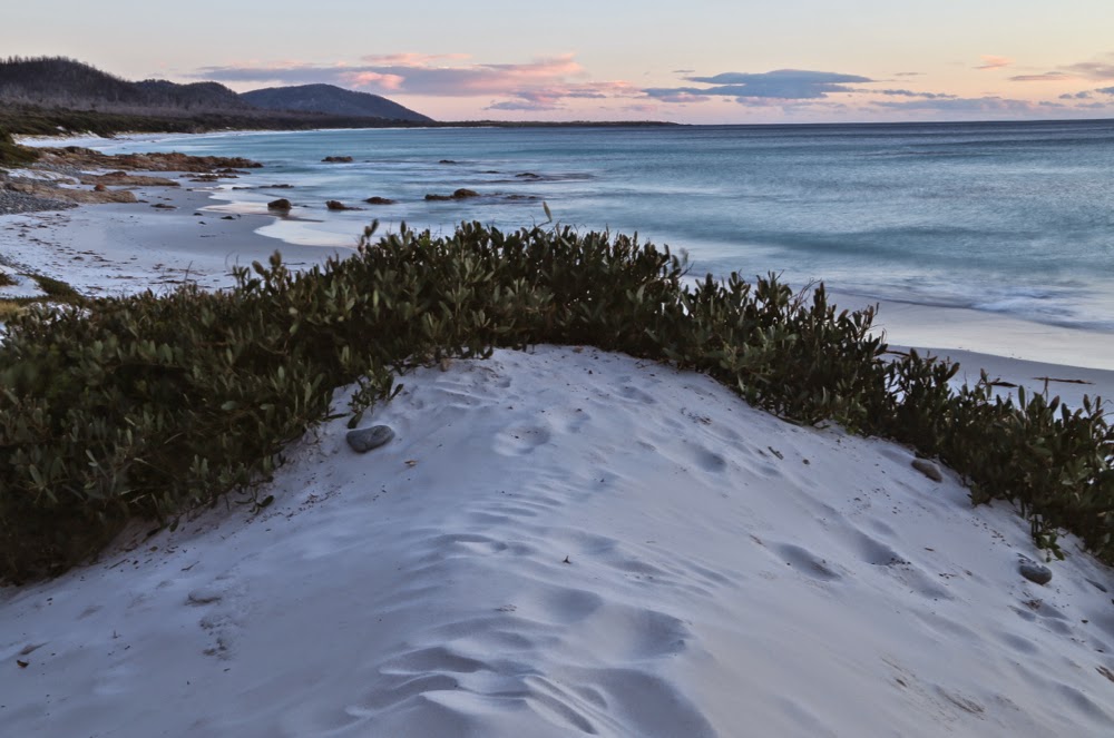
Sunrise, Friendly Beaches
The day for climbing My Freycinet and Mt Graham had a remarkably lazy feel to it right from the start. Sunrise was magnificent, and we were in no hurry to leave the beautiful beach that we’d camped beside. It’s pretty hard not to want to linger longer by pure white sand, aquamarine water and pink sky.

Having climbed Mt Dove (and Mt Amos) the previous day, the four of us were still in a jubilant mood, and looking forward to today’s mountains, even though they offered no particular climbing challenges. Having changed our plans of where to sleep (see yesterday’s posting), we were running about 28 hours late, but that didn’t matter on a day with only two easy mountains on the programme and all day in which to complete them.

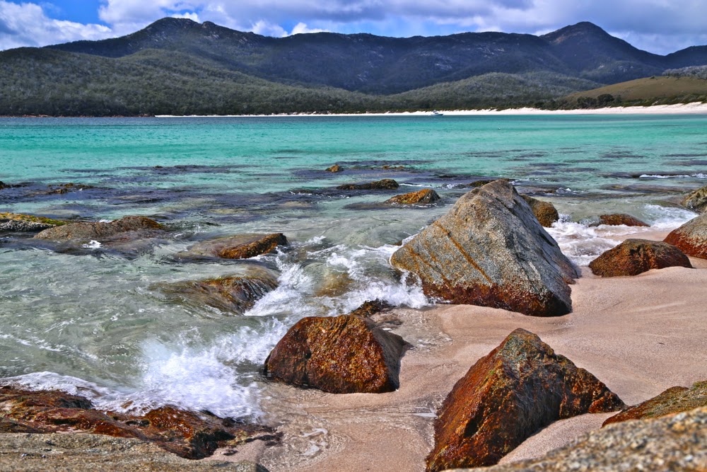
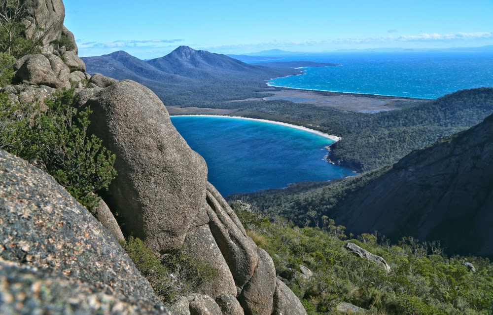
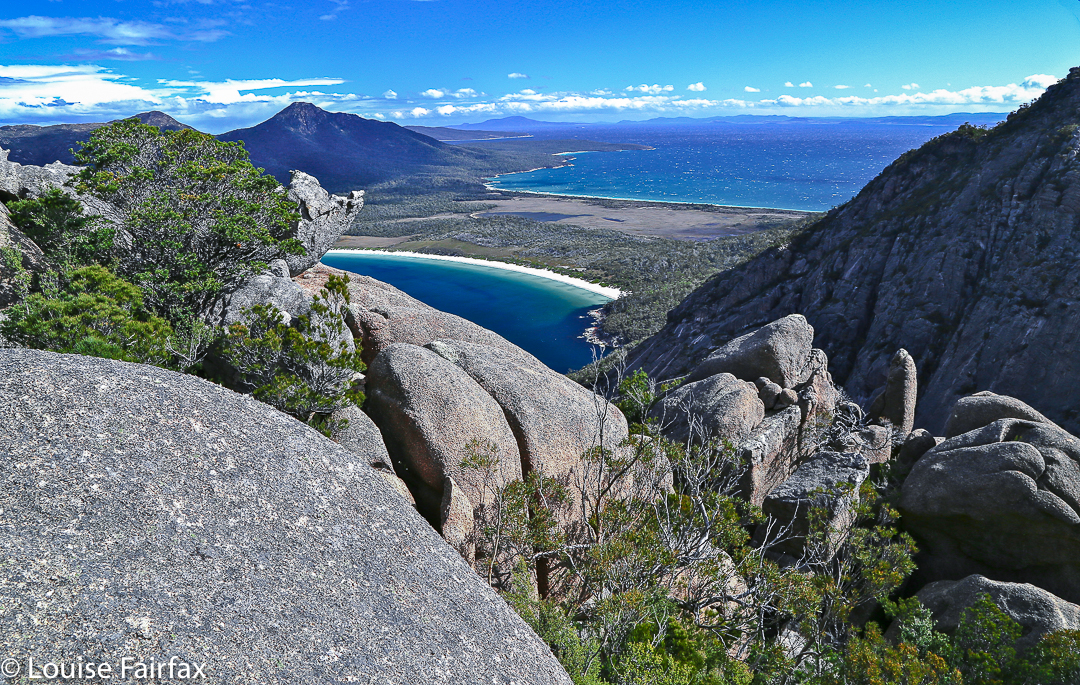
Wineglass Beach

Off we set at last for the Wineglass Bay saddle. Wineglass never palls. A google search tells me that it is consistently rated as one of the top ten beaches of the world – which means that the judges have unexpectedly good taste. It is magic. For the second time in two days, the girls had to pinch themselves to make sure they hadn’t gone to heaven early. You have to spend time at a beach that wonderful, so we stopped at its entrance to have a swim. (No, not me. Anyone who knows me knows I’m too much of a wuss for that. I always photograph the swimmers and mentally join in that way.) We then lengthened contact with the beach by having a slightly early lunch at the other end. The day was long; our goals still easily achievable.

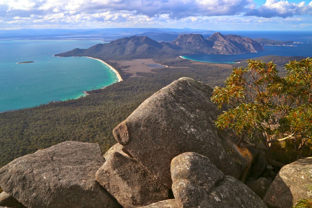
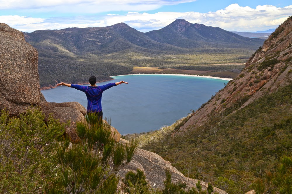
View from Mt Freycinet.

At last we had reached the business end of the day: stomachs satisfied, swimming urge dissipated, off we climbed through the forest and along the track that was almost white with the eroded quartz grains. Everywhere we looked, coloured flowers drooped over the track, picking up the light as they did so – shining yellow, white, pink and purple and greeting us as we passed, brushing our legs with their perfume.

Molly on Mt Freycinet

Up on the tops we met a group from LWC who had also chosen the single dry location of Tasmania this weekend, and warm hugs and greetings (and introductions to the Swedish girls) were exchanged. They were on their way to the beach below to camp, while our goal was to sleep on the summit of Mt Graham. If you’re a regular reader, you’ll by now know that that is my style. We only took about five more minutes after meeting the others to arrive at our destination, so were setting up our tents quickly and looking out at louring clouds. Hey. BoM said there would be no rain here today. How dare they look so businesslike! For the first time that day, there was a little haste. We did want to summit Freycinet today and not postpone it. There was still enough light.

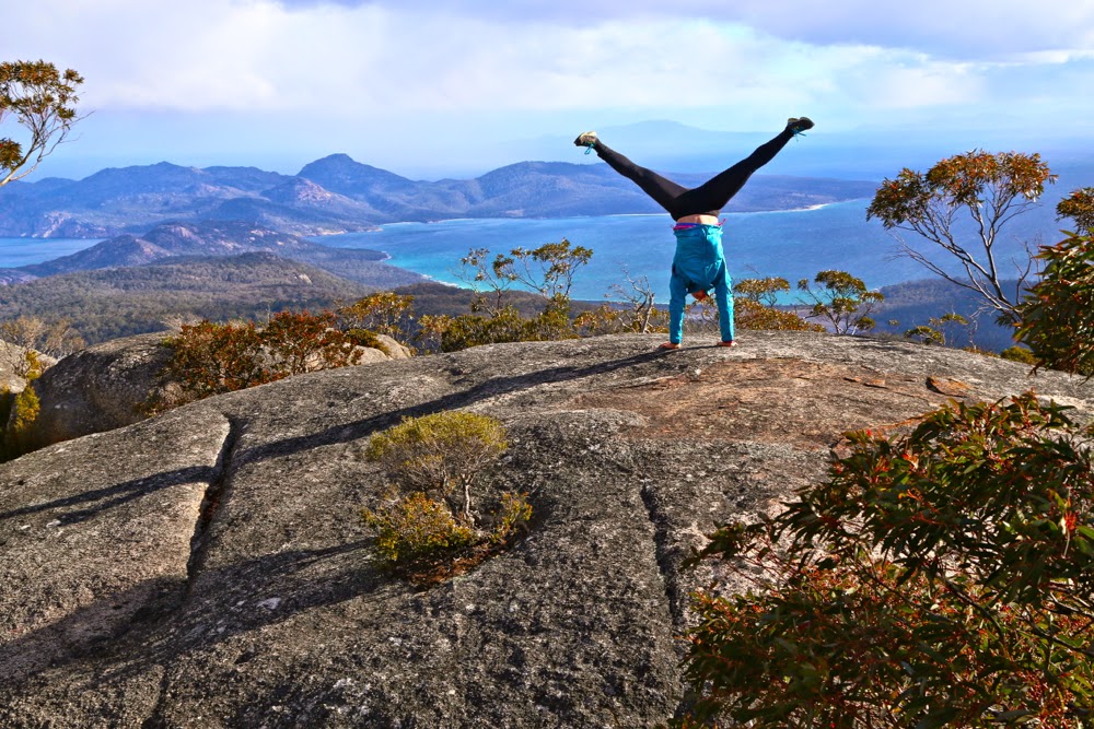
Me, flying over Mt Freycinet.

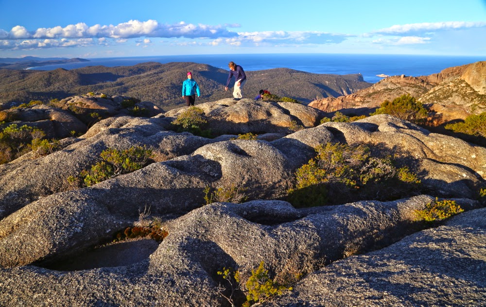
It took only eighteen minutes down to the saddle without packs, and then twenty three up Freycinet along a track that filled us with delight as it weaved through the open forest replete with flowers. Once we were on top, we could relax about encroaching darkness – and the weather. We still had heaps of light left, and the rain was holding off. It was time for general exploration, handstands and jumping poses on the rocks that had enough space for such things.

Sunrise from Mt Graham.

Back at the tents, we were in the process of boiling water for dinner when the hail began. I poured water on the packets of powder to rehydrate them and we all huddled into our two-man tent. It was cosy with four. Hail changed to rain, accompanied by gruff, angry wind, but none of that mattered: we had our safe haven, and ate our rehy-dehy food with relish. The day before we had discovered that we all love singing. There we sat in a tent in the storm and sang for the next three hours: some beautiful, gentle songs with soothing melodies and haunting harmonies; some silly, make-us-all-giggle ones. Some sophisticated, some childish. Some negro spirituals and rounds. On we went, laughing and singing and enjoying ourselves, finishing up with Christmas carols before the girls went out into the night to find their tent and “sleep” (the wind raged so strongly that no one actually got much slumber, but at least we lay down and pretended. It was worth losing sleep just to be there and experience this beautiful mountain and the fury of the elements).

Halfway down

In the morning, we enjoyed sunrise from the summit which was only about two minutes from the tent. The wind had not yet abated, but we weren’t being blown off our feet. A bank of clouds prevented the sun from coming straight out of the ocean, but we loved it anyway, and gazed in wonder that one could camp in a spot such as this. The girls bubbled with enthusiasm.

Salome on Wineglass Beach

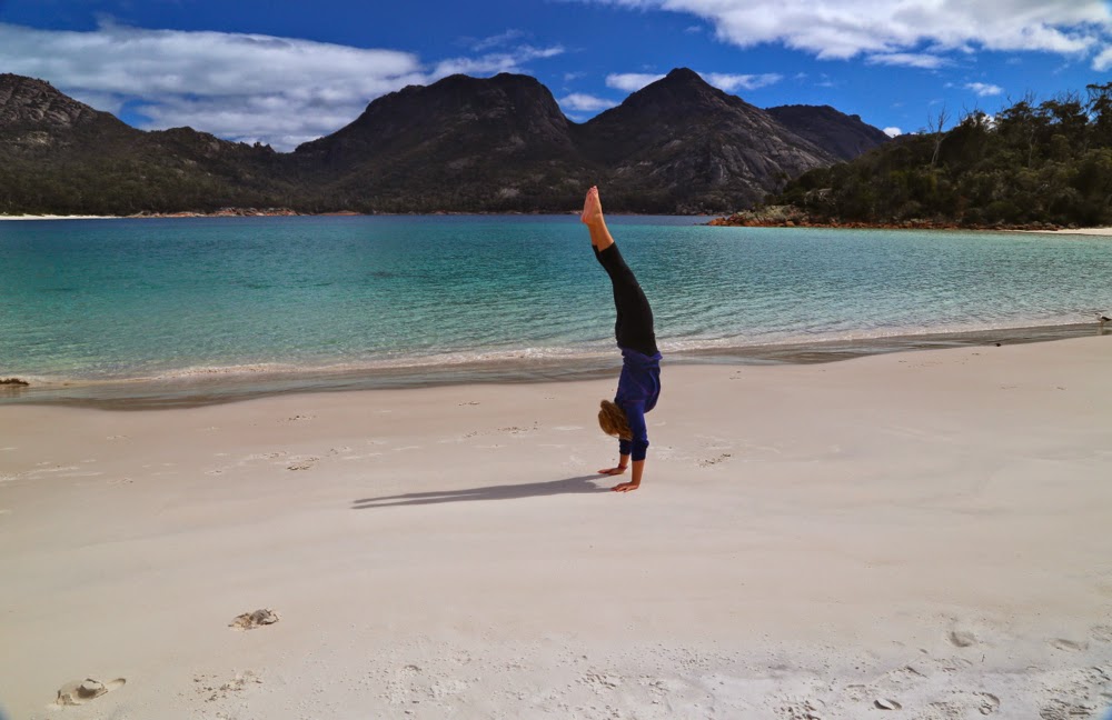
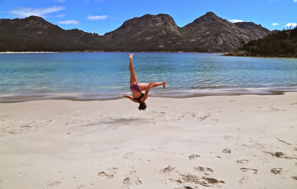
We sang nearly the whole way down the mountain, full of joy at the beauty around us, and stopped at the beach for yet more swimming, eating and gymnastics. The last time I did handstands was in the 1980s, when I did them in the surf with my niece, Sarah, gleefully doing stands in shallow water and then being tipped over by the approaching wave. It was time to see if I could still do them. I thought it would be rather embarrassing to end up needing to be helicoptered out because I’d hurt my back doing cartwheels along the beach, but fortunately it didn’t come to that. Both handstands and cartwheels  “worked” (generous assessment), but certainly not with anything like the style of my teenage years!! I used to adore gymnastics. Legs were not straight; body was not directly over my hands – but I had huge fun trying. Salome and Molly were fantastic. It’s actually very hard in the sand, as it sucks your energy instead of giving you spring back. When you admire the photo of Molly below doing a handless cartwheel, just remember that. Normally such things are done on a sprung floor. Her “bounce factor” is brilliant.

Molly doing a handless cartwheel.
We had also scheduled a climbing of Mt Mayson for this day. The instructions were rather obscure, and we tried about four false leads climbing upwards into thick scrub before we found the one that worked. I was dangling my huge full-frame DSLR (I didn’t have a daypack with me) as well as my Galaxy Note which doubles as my gps system. Both were crashing against the rocks a bit and had me worried about their safety, as most steps involved climbing boulders and sliding along ledges. I felt clumsy; I was also very hungry. It was time for me to have real food. I suggested we go back down to the carpark and deposit our big packs, pick up daypacks and climb back up to where we were, now that we knew we were on the right lead. Molly and Salome agreed. (Bruce had already opted out of this climb and gone to the car by himself.) Down we went, up we climbed, yet again. I was inching around an obstacle on a narrow ledge and noted that I felt decidedly woozy. I was very, very low in blood sugar. I think I was also low in salt. I can tell you that after a scallop pie, a lemon-meringue tart, an OJ and a cappuccino I felt fantastic again, but by then it was too late. I have promised to drive the two girls back to finish what we began, but on that day, I needed food more than a summit point. Alas. We’ll be back to Mt Mayson for round two some time very soon.

Dove 2014 Nov

Mt Dove Nov 2014


My hands sting with abrasions; there are several small slits that smart even more; my thighs have little pock marks and I feel pretty shattered – and yet I can say without the slightest touch of irony that I had one of the best weekends ever – climbing Mt Dove (and later, Mts Graham and Freycinet) on Tasmania’s East Coast.
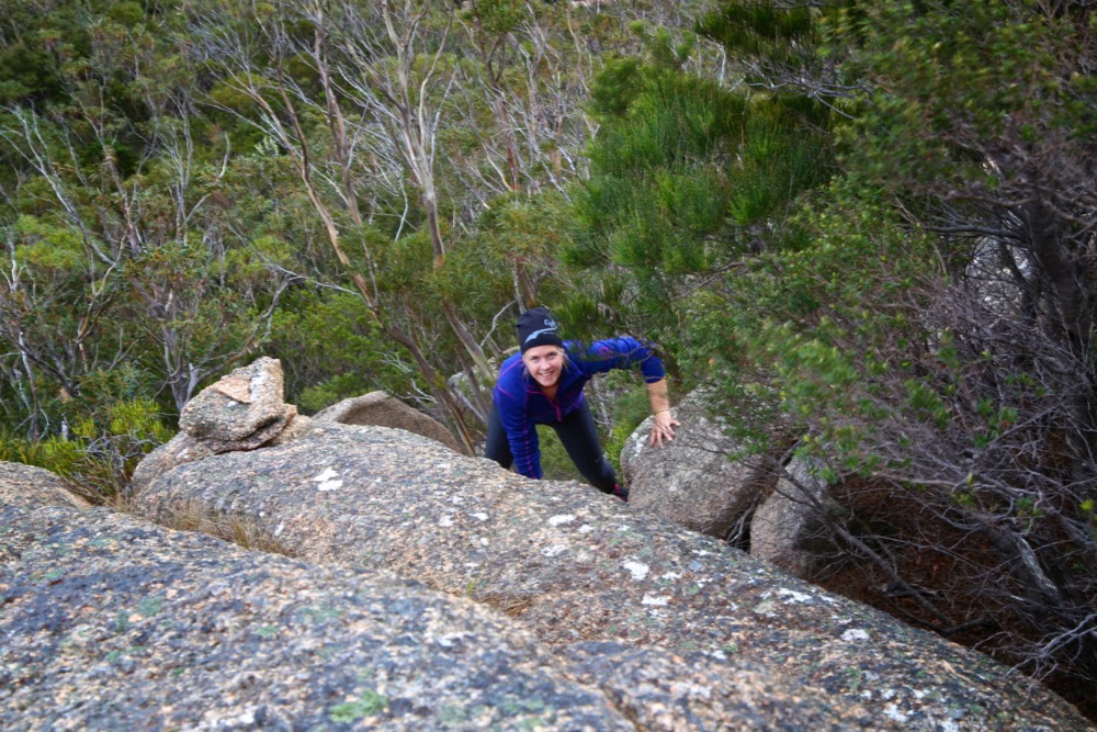
Salome climbs Mt Dove. You can see we have come across a cairn. We kept finding them – a wonderful reassurance that we were choosing the right route. However, DO NOT think that you can follow these. We very rarely saw one cairn from the one behind. They were a happy confirmation of success, not a guidance to it.
I have noted before that it is often the case that when you give, you end up receiving far more than you ever gave. The two Swedish girls I took mountain climbing this weekend think I have done them an enormous favour, and yet I feel as if I am the one who has received.

Last week I accepted into our house two girls who were the friends of the daughter of a friend (Elin is now, of course, friend in her own right – I am just explaining the connection) that I made orienteering in Sweden in 1986. A friendship that began with a random act of hospitality on Marie’s part has continued to this day as a wonderful extended family attachment. On the weekend, I agreed to take the girls into the mountains. Plans A and B both had to be abandoned due to the weather, leaving only one dry place in the whole of Tasmania: the Freycinet Peninsula. Off we headed. I had that “here we go again” feeling; the girls were excited.

Molly climbing Dove

One of the things we learn when we become parents is to see the world afresh through eyes encountering its wonder for the first time, and that is what we experienced on the weekend through the eyes of Molly and Salome. Whereas we, utterly spoiled by beauty, were far too blasé about the marvels of Freycinet, Molly and Salome believed they had landed in heaven, and shared their joy and excitement in noise and action. We loved it.

“Yes” to beauty, says Salome.

The first item on our agenda was Mt Dove, the rather inhospitable next-door neighbour to the more-climbed Mt Amos. However, as we parked, the sky looked ominous. We wanted to climb something, so opted for the much easier Amos, knowing we would get wet. Dove is not a mountain you climb in the rain. Its granite, nicely abrasive when dry, is as slippery as polished marble when wet. We just took the barest essentials, as Amos is a very quick climb, and off we set. My husband, who has Parkinson’s disease, said that seeing’s we were only climbing Amos, he would come too. He had no intention of attempting Dove, which is a much more difficult mountain, with huge slabs of exposed, dangerously sloping granite cliffs, and no path up it. You have to find your own way in the maze of bush and rocks, losing sight of the wider context of your climb as you get buried in the minutiae of the needs of the next few metres.
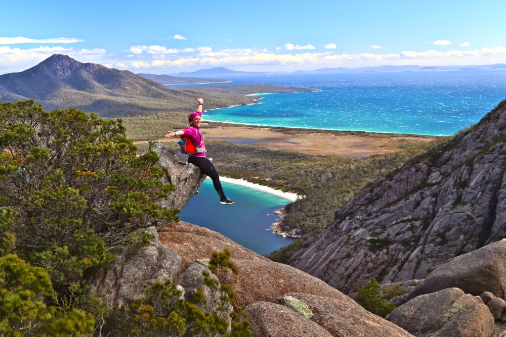
Molly, excited by the view. We’re now pretty sure we’ll make it to the top, and are feeling pretty excited.

Amos was, as usual, wonderful, but just as we were appreciating it, and deciding that Dove would definitely have to wait until Monday, a hail squall came, and we needed to shelter under some boulders. Ice bombardment finished, it was time to descend, but the girls and I were curious about the route we would take when the weather cleared.
“Let’s just suss out the early part,” we agreed. Off the summit we slid in the direction of the Dove-Amos saddle. It was fun, and my husband was coping. We stood there and looked longingly in the direction of the next summit.
“Let’s do it,” said Salome.
“Yeah, let’s” we all agreed – Bruce too (the trust of this man that I will manage to keep him alive in the direst of circumstances is remarkable). Off we set.

Getting higher, but still not there yet

A look at our route reveals the sad fact that we hit a dead end early on, but only one, and after that it was pretty smooth sailing – challenges were there in plenty, of course, but all overcome with little difficulty. About half way up, we had a manoeuvre that we all agreed was beyond Bruce’s hampered capabilities, so we “parked” him at a spot with a nice view, marked his whereabouts on my gps, and continued as a trio. Up the granite, through a corridor of scrub, up the granite …. we repeated this pattern, gaining height admirably. Oh the excitement when we saw the trig just a few metres away around the corner of a boulder. All three of us were overjoyed. I had given up on this mountain for this day, and here we were. We jumped around and photographed and uttered all the superlatives that one mutters when faced with supreme beauty. Molly, amongst other things, said: “Amazing”, and Salome and I did the first thing that came into our heads at the mention of that word, and began, to our mutual amazement, to sing “Amazing Grace”. Next thing, all three of us were singing all four verses of this beautiful song in harmony as we descended, retracing our steps. We sang the rest of the way down. At last, I have found other people who love to sing while they walk.
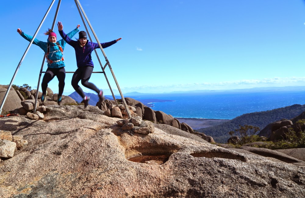
Yes, we did it. Excited girls on top.

Back at the saddle, we tossed up whether to climb back up to the summit of Amos and descend on the track, or to find our own way down near, but not in, the gully. We voted for the descent option, and set out, sidling around cliffs and tugging at roots and branches as we made our way both along and down. Time marched by. The sun started to get an ominous golden tint and the shadows got long. We appeared to be in a cul-de-sac, in which any direction that was vaguely forward was too hazardous for my husband to attempt, especially as he was now getting tired. No. We’d have to go back and do what we should have done all along, and head back for the summit of Amos, hoping to intercept the track near the top. These rocky bluffs offered too impenetrable a fortress.

This was taken after we had stopped attempting to descend just above the gully and were climbing Amos once more. By this stage, I had stopped fearing that we would spend the night on the mountain, so relaxed enough to take a photo.

Backwards, upwards we pushed with the day drawing to a close. I began to suss out overhangs for overnight possibilities should it become necessary. However, at last with a whoop I called the others: I could see a bit of blue tag. We had mounted the spur we needed and the track now lay slightly below us. Hoorah. What a fabulous team effort it had been. We would be sleeping in our tents tonight after all. I have not yet mentioned that the wind was ferocious – so much so that I had no idea whether any of my photos would turn out, as I had trouble stabilising the camera. As we descended, we were grateful to at last have dropped out of its reach, although we could see it whipping up waves on the normally tranquil water below.

Emerging on top of the spur that would connect us to the Amos track. Victory is in sight.

We had been planning on sleeping at the end of Wineglass Bay, but had now run out of time. The gale was a westerly, so I drove us to the Friendly Beaches where we set up our tents on the sheltered eastern shores, happy and complete after our successful ascent(s).

Sunrise at the Friendly Beaches next morning.
Saga to be continued in the next post, later today or tomorrow.

Young 2014 Oct

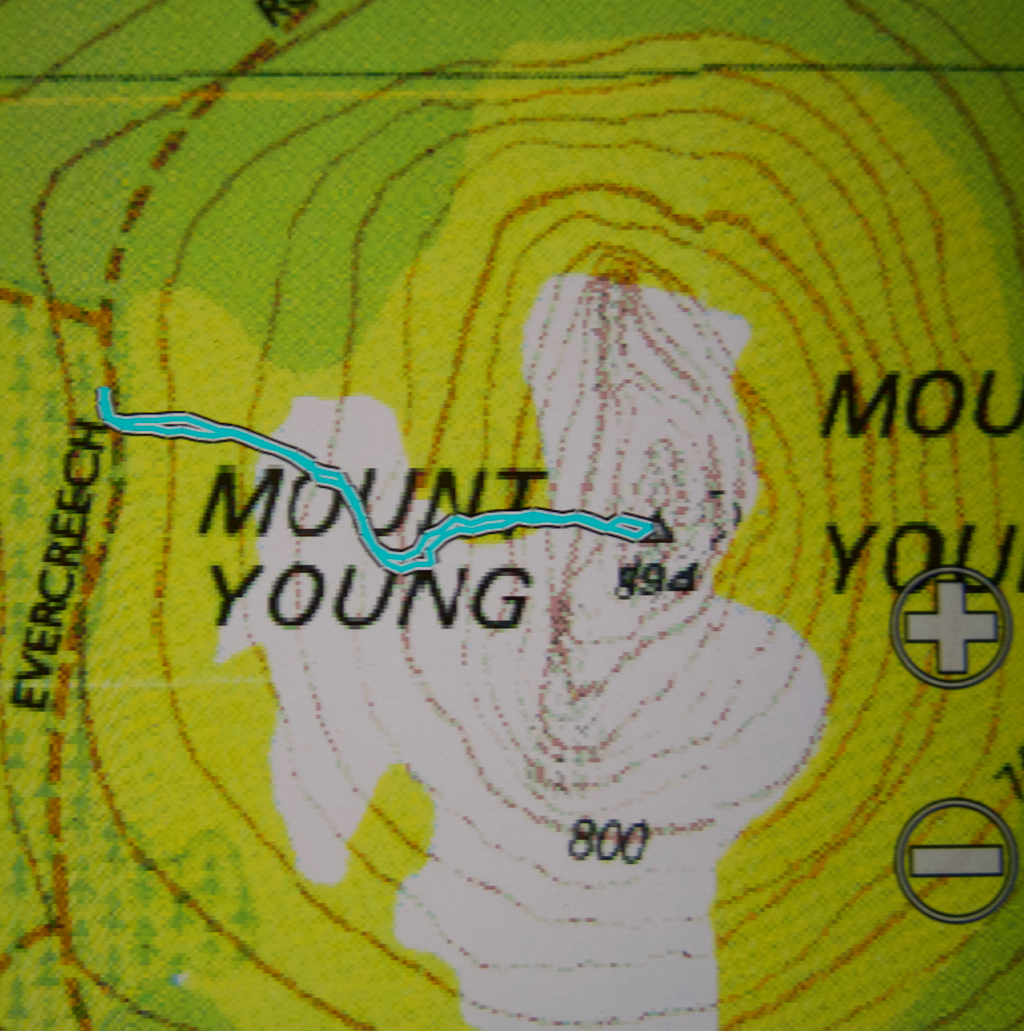
Mt Young 20 Oct 2014.

I was excited as I put on my suncream; I love that smell, redolant of summer holidays, the beach, excitement and adventure. It seemed as if I hadn’t been on a proper Tassie walk forever. I couldn’t even find a compass, and that’s about as likely hat our place as not being able to find a spoon to eat with.

As I left the house, I joked with my husband: “We need to leave for the airport at 7, so dinner will be at 6. See you at one minute to …. haha.”
It was a beautiful day, as promised. The grass was that magic spring green; little lambs gambolled about, leaping randomly, jumping invisible obstacles and filling me with delight. Ben Lomond was sharply delineated as I continued on past it. I was finding the driving enjoyable and relaxing.

However, I seemed to have used up far too much of my beautiful day, I decided, as I at last reached Mathinna. It was already 11.30. I turned to the north. Checking the map at every turn was a bit bothersome, so I drove on, and checked far too late to see that I was now heading to the Falls instead of travelling on Diggers Road, parallel (sort of), to the one I wanted. Back I went, found my road, did a bit more stopping and checking at intersections this time, and there was the road I wanted, the one that would connect Diggers with Evercreech Rd that led all the way to Mt Young: Symonds Rd. It was surprisingly narrow. I rechecked the map – yes, solid orange, same as the roads I had been on, which meant I could drive on it. Yet it was only just wide enough to take the car, and branches were trying to get in the windows. I’d already seen two black snakes on the road. Now, travelling very slowly, I saw a third. I came to a halt to glare banefully at him. He stared menacingly back, eye to eye and no mistaking it. I was starting to think that the solo bit wasn’t so nice today.

I drove over a fallen tree, small, but with side branches – trunk maybe 12 cms thick. Then came two more logs. I’m now going downhill, presumably to a creek. The road is getting even narrower, scratching the car as I went, and also becoming quite sandy and loose. Luckily my husband is not a man who cares about a bit of metal … which is kind of why I married him. His head and heart are in other places. BUT, then I came face to face with a very thick tree that had fallen, and although it had been cleared enough to let a motorbike through, I was not a motorbike and for me there was no way forward. Another big BUT. Could I back up the slope and over those obstacles on a path this narrow and sandy with all sorts of hidden traps at wheel level? Could RACT ever rescue me if the answer to that question was was ‘No’? I remembered my joking words of this morning and feared I would not even be home by one minute to six at this rate.

Whenever I’m in a sticky situation like this, I’ve found from experience that the very best thing to do is to sit and eat – preferably some chocolate, but almost anything will do. I grabbed at my lunchpacket and gobbled some of its wares. That felt better. It wouldn’t do to go backing a car on an empty stomach in that kind of terrain.

 Miraculously, I made it, and after far too much time, found myself driving back towards Mathinna to try a new attack. South to the town, and then east, and once more, north. This trip was getting very long, and the purpose (climbing a mountain, in case you’ve forgotten), seemed still a long way off. The airport was starting to call.

At long last, my mountain, and the goal of this trip, came into view. I wanted to drive until I was due west of it. I now had out the gps as I drove to line up waiting for that point. Going nice and slowly now. Just as I was deciding I was due west, I saw a most heartening and glorious (given my frame of mind at that time) sign – a pink ribbon tied to a tree. That strip of pink ribbon could have been a golden necklace and I wouldn’t have been as happy. I looked at my watch. Time for one hour up, one down.  That should do it. I packed my bag and set out.

Oh the joy of at last being in the bush after such a stressful and protracted journey.  Oh the pleasure of walking through open forest with a green carpet under my feet. I had imagined as I pictured the day in advance, that I would have to bushbash the whole way, and find my own route up through the rocks, but the pink ribbons went on and led me right to the top. Thanks ever so much person /people who put them there. Everything was glorious, I utterly enjoyed the feel of the bush, its smells and its sights … except that in 15 minutes I was standing by the summit trig. That represented a truly shocking drive to walk ratio!!! (17:1).

The view was wonderful, and I stayed a while to take it all in. I could see the sea – very clearly –  and lots of mountains that I’d climbed already. In fact, I think the only mountain in my purview that I hadn’t climbed was Mt Blackboy, which was also on this day’s agenda, but I had now timed myself out of it. The airport called louder and, had that call not had dire consequences if I ignored it, I might have attempted to squeeze in another mountain, but I couldn’t risk anything more going wrong, so quit while I was ahead, and assured myself it had been a lovely morsel of a mountain and that I could bathe in its happy memories for a while without pushing them to the side by adding an extra climb that would be tense as time ticked by.
I came home via the north, heading first from Mathinna to Ringarooma and then west on Ben Ridge Road towards Targa and thence Launceston. It was very interesting seeing new angles on otherwise familiar mountains, such as Ben Nevis.

I arrived home in time to have some berry and almond cake with a cup of tea before throwing some gear in a pack, having a hasty dinner, and driving to the airport, where we ordered citrus tart and cappuccino to try to begin relaxing. I had done almost nothing in terms of physical exercise, but the strain of almost being stuck overnight a very long way from phone range had made me absolutely ravenous.