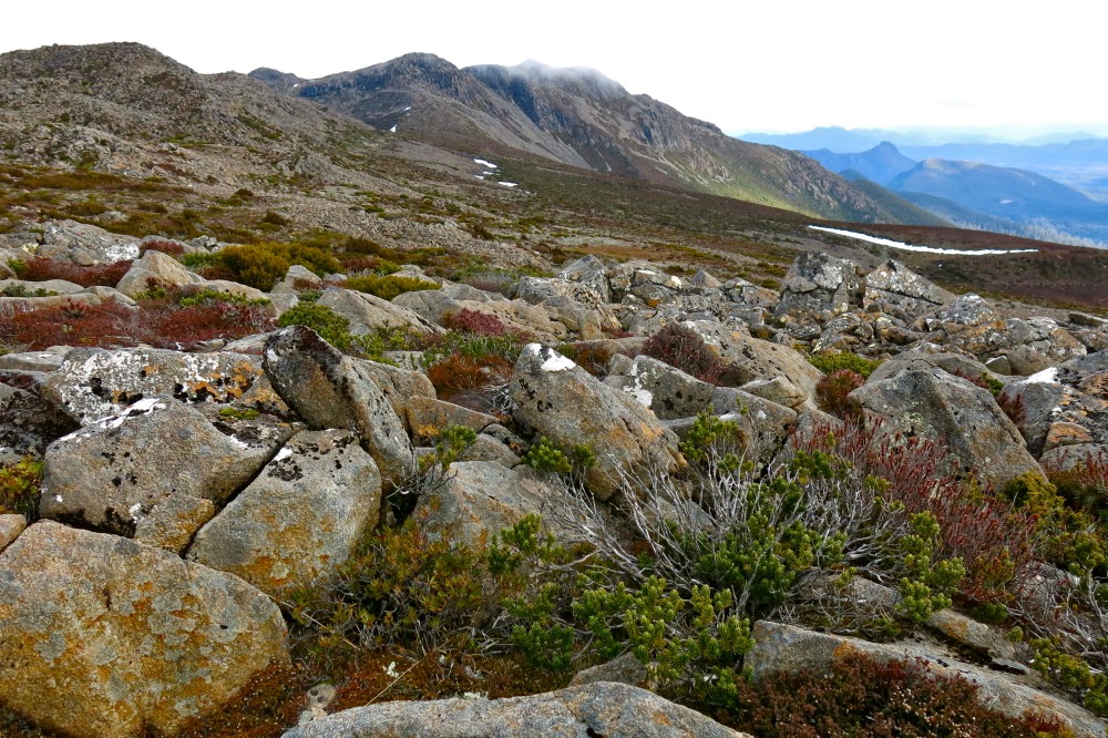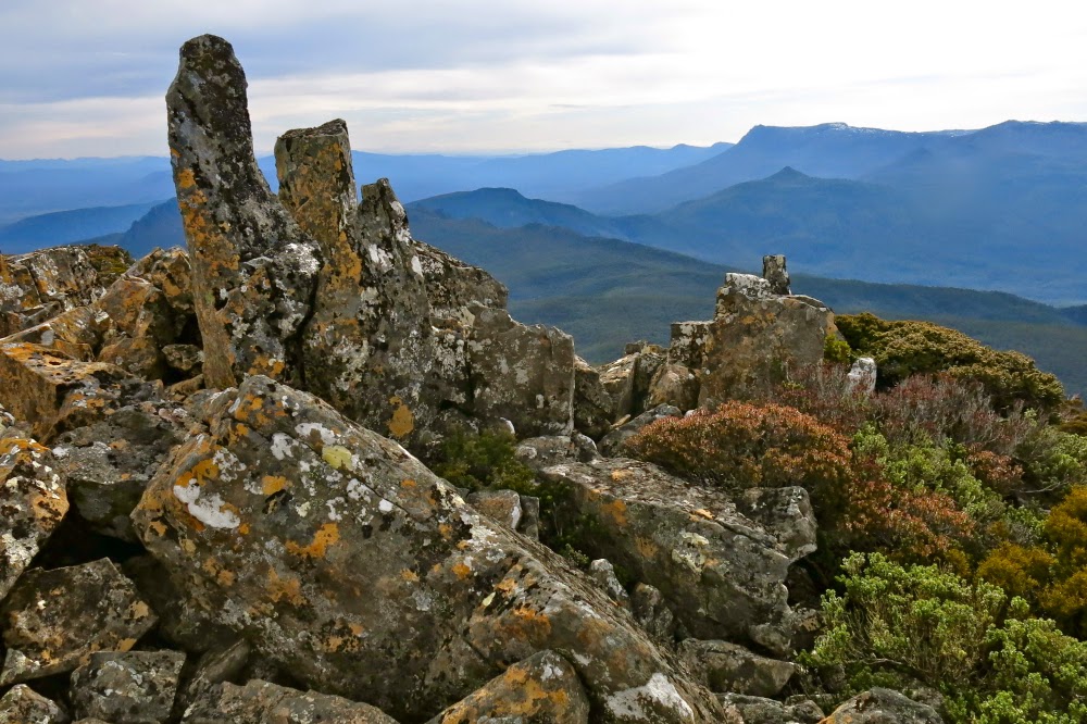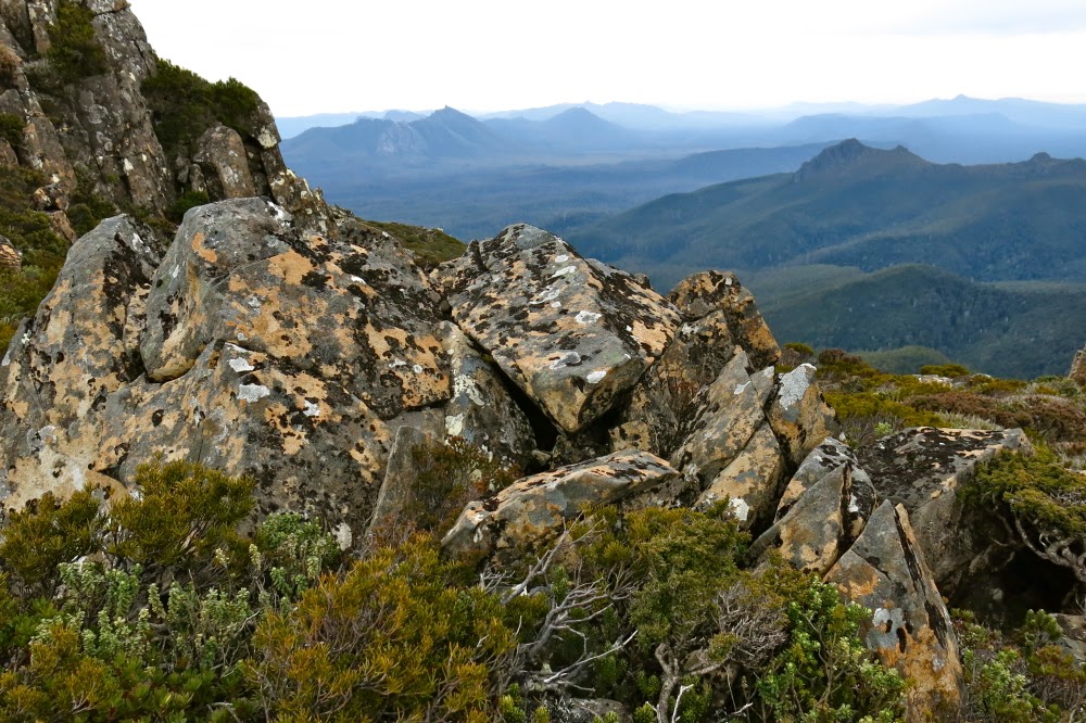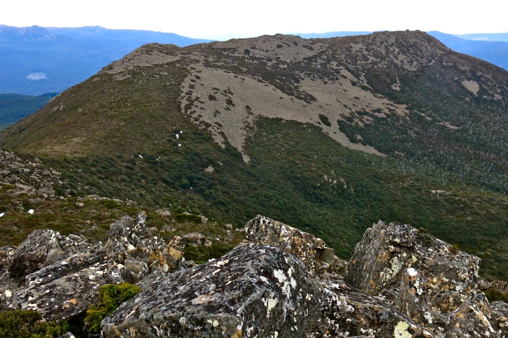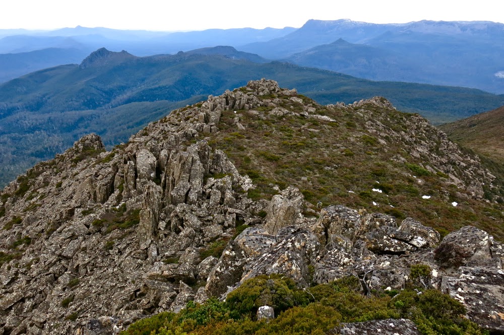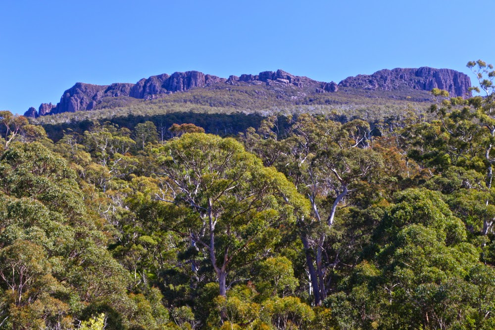
Byatts Razorback 2014 Sept

Sphinx Bluff, Broken Bluff and Pavement Bluff from below

The mountain I selected for today (Byatts Razorback) was perfect for a day like this. It was not too far away (about 1.5 hrs in each direction), and not too long a walk (about 30 mins each way). I am unwell again – they’re calling my virus the “hundred day flu”, and that seems right from what I’ve observed of self and others – and I have heaps to do before I fly with my debaters to Brisbane tomorrow. Just a little excursion was all I wanted. I was, however, expecting this “little excursion” to be unpleasantly scrubby: it is, after all, on the east coast, near West Tower and a raft of other rather bushy mounds.
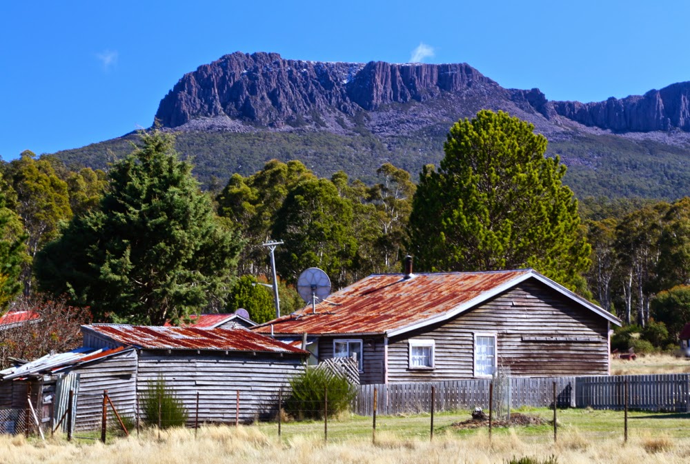
Denison Crag from near Rossarden
We had never taken the road north of Avoca before. I’m not a fan of driving, but this road was a delight. Without a peak baggers’ list prodding me to explore and climb a stack of mountains I’d never even heard of before, I probably would have lived my life without ever going up this road. I’m thankful for the list and the number of new places it’s tempted us to see. The wattles (acacia dealbata) were in full bloom, and Stacks Bluff, which I’ve never inspected at close range, loomed large and perfectly delineated in the morning light, with crisp edges and shadows. It’s a great shape. It moved up the “to do” list, but not for today. My goals today were small.

We then swung right, to change our gaze to Broken Bluff and The Knuckle (yes, yes, I did watch the road as well), and eventually came to the quaint settlement of Rossarden, where someone has transformed the old wooden church into a very attractive house with daffodils. Not far to go now.
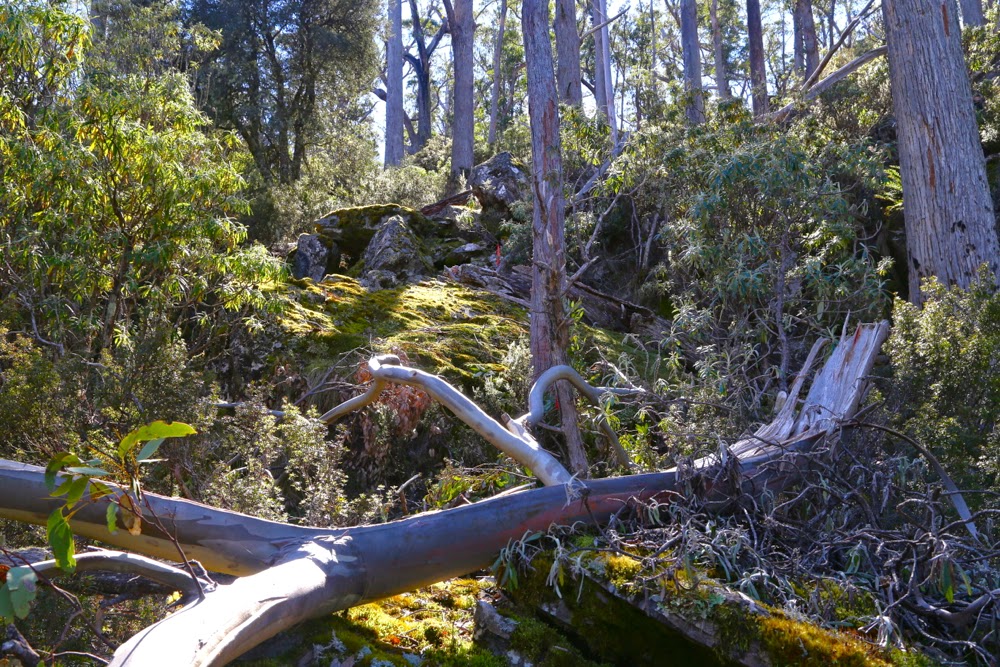
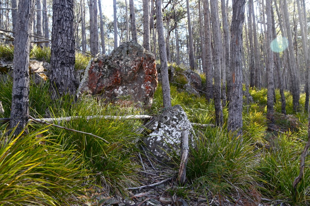
Typical bush on the way up.

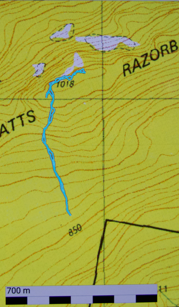
My plan was to park just south, and a little west, of the summit, and walk north to the razorback of its name, and then east to the high point. One hardly needed a map for that, but we had packed one anyway, as we always do – along with a compass. As I’m approaching the spot in the car, I see a little side track. I consult my gps and decide it can do no harm, and could do a lot of good, so, even though it’s not on the map (what road ever is, you may well ask), I take it. Unfortunately, it stopped after about a hundred metres. Oh well, it was worth a try. Might as well climb from here now we’ve stopped.
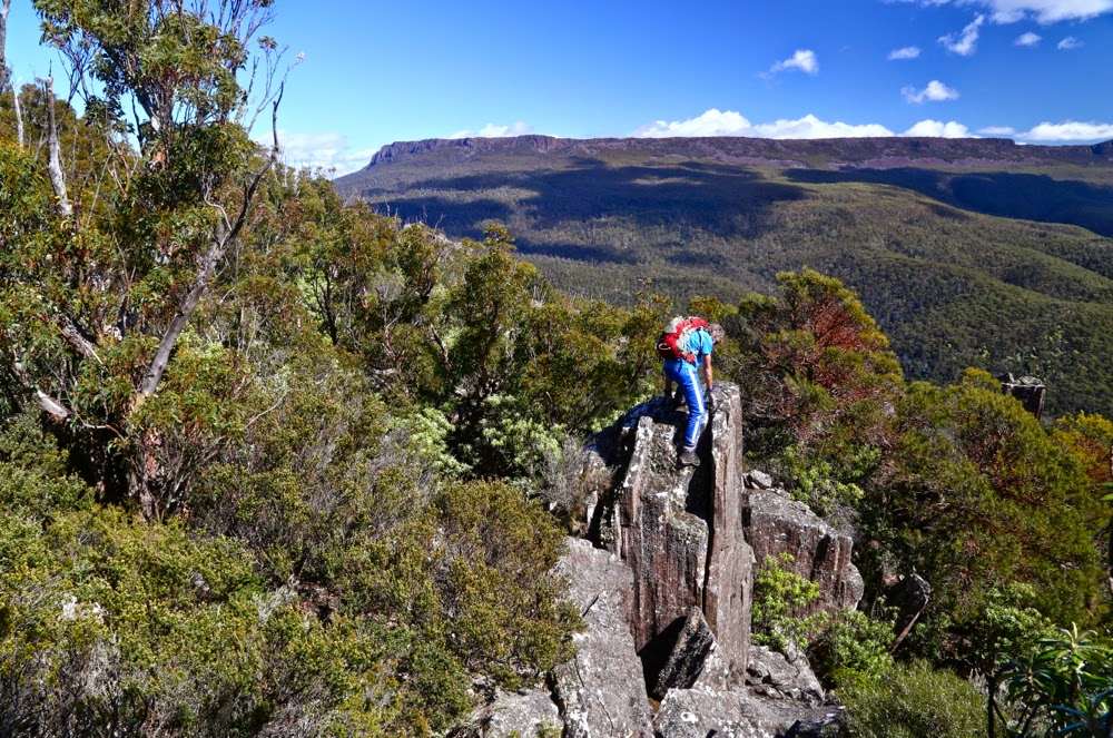
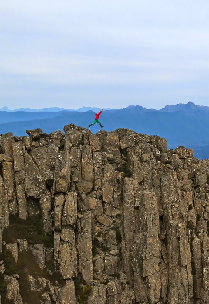
No, he didn’t think it was the summit, but it did look a fun thing to climb. There were lots of little beckoning columns like this up there.

Framboisiennes fresh from our Harvest Markets in our stomachs, off we set. Well, well, look at that. That tree has an orange streamer. Look, so has that one up there. These streamers weren’t quite connected, in that I couldn’t see from one to the next, but by keeping the line of least resistance in the forest, I kept finding them. It was fun. And the bush was delightfully easy – a long cry from the fight with prickles and tangles I was expecting. We were loving it. Boulders were mossy and a soothing green. Up we went, enjoying the route, onto the ridge line. We climbed something that looked nice and high (and it was, actually, the black dot on the map), but a boulder cluster further over looked higher, and the pink ribbon continued, so (having climbed the black dot) we headed further east, actually dropping a bit on some scree in order to climb the next section with less resistance from bush. The pink ribbons, having led us down the other side, then disappeared. There were several scrambling routes possible, all of which appealed. I selected mine and up I went. On top of this one was a summit cairn, and, as far as the eye is any indication of anything, I was now on the highest point. My gps confirmed that I was at the summit height (actually, it said I was 1 metre higher).
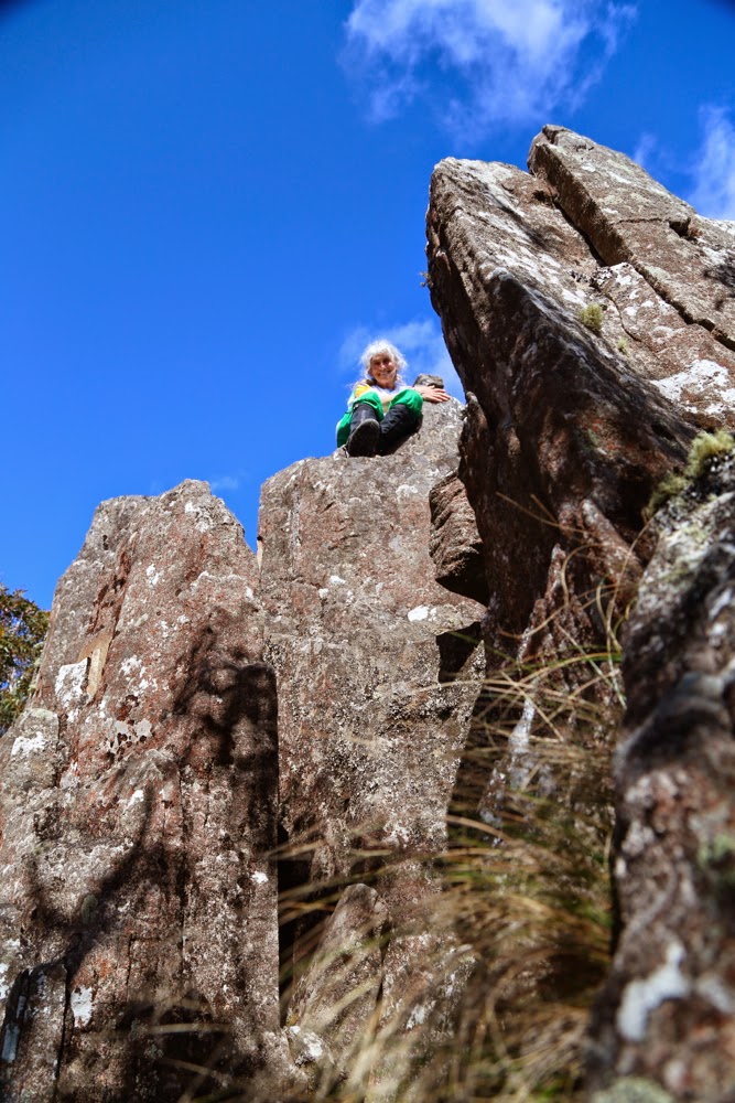
The summit rocks. There is a cairn just behind me, to the left.

Even so, we still went a bit further east just for the heck of it, and because I had seen a good vantage point off that way where we could sit and snack and stare out at West Tower and its eastern mate.
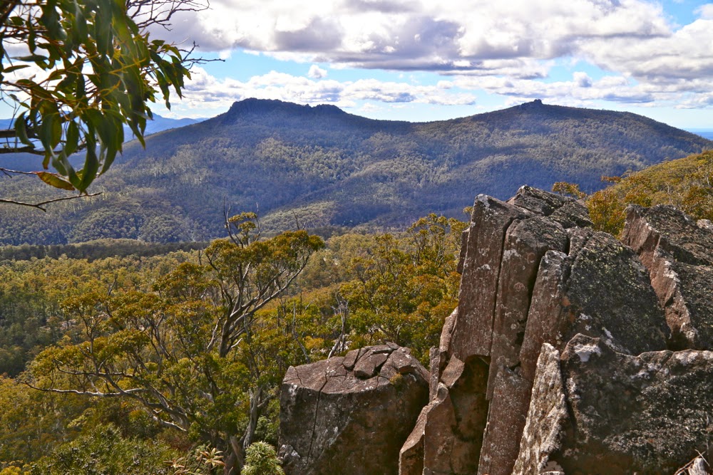
West Tower (L) and East Tower (R) from our snack rock
Back at Avoca we shared a pie, lettuce and sparkling apple juice down by the river in the company of ducks to fend off the pangs of hunger until real lunch.

How wonderful it is to be welcomed home by dogs. As the car neared our internal gate, I could see them bouncing with excitement as they raced to meet us. I find it hilarious that they don’t seem to think that they can have fun without us. We all did a turn around the perimeter of the home paddock together, they, rushing and dashing; we, sniffing and sighing at the beauty of sun through petals, before at last heading into the kitchen for lunch.
Wentworth Hills 2014 D’Arcys Bluff Sept

 Wellington Hills and D’Arcys Bluff 2014 Sept

 The reward: a view like this

“I hope I’m pleasantly surprised by this mountain today. I’m not feeling overly hopeful.”
“Why not?” asked my husband,  probably wondering why his wife had brought him on a walk that she wasn’t expecting to enjoy.
“Hmm. The picture in the book was rather dull – it looks rather a non-event – and the book says it’ll take 4 hours from car to summit, which is rather a long time. The distance doesn’t seem overly long, so that bodes ill re the terrain.”
“Why are we going then?”
“Mhm? To taste new things. Besides, when expectations are low, you often end up loving whatever it is. If we don’t like it, we won’t go back.”
Well, it was too late for him to object. He was already in the car and we continued our way through the gloomy dawn mist; at the very least, we’d get a good workout, which for us is always a positive.

Easier scrub near the top of D’Arcy’s Bluff

And what is my verdict, now that I’ve completed the walk? Unfortunately the old “low expectations trick” didn’t quite work. I will certainly never climb D’Arcy’s Bluff again, having gained my single point for the efforts, but I would return to Wentworth Hills via the route of our return. Although the lower slopes of D’Arcys had rather lovely myrtle forest, and were sufficiently open to allow pleasant walking, that forest type didn’t last long enough, and ceded too soon to drier, bushier, thicker stuff, cluttered with fallen timber and rocky jumble as we sidled our way around under the palisade of cliffs, looking for a break that would allow us up to the top level.

Nicer going right on top
Up there the rocks became mossy again, and a view opened up over Laughing Jack Lagoon way below. It was not the most dramatic view in the world, but at least there was more reward than just the acquisition of a single peak-bagger’s point.

The more open section between D’Arcys and Wentworth Hills
On we pressed to mountain number two, the dubiously named Wentworth Hills (the minute you call a mountain a hill you’re asking for trouble in my books. Who wants to climb a mountain called a hill? Only a fairly desperate peak bagger). The bush wasn’t too scrubby, although not lightning fast, and then there was a fairly long stretch of spongy open wetland with only calf-high vegetation that sank somewhat even under my unimpressive weight. A bit more scrub, sightly thicker, another rocky barricade and the summit at last. Not a moment too soon. I was absolutely ravenous.

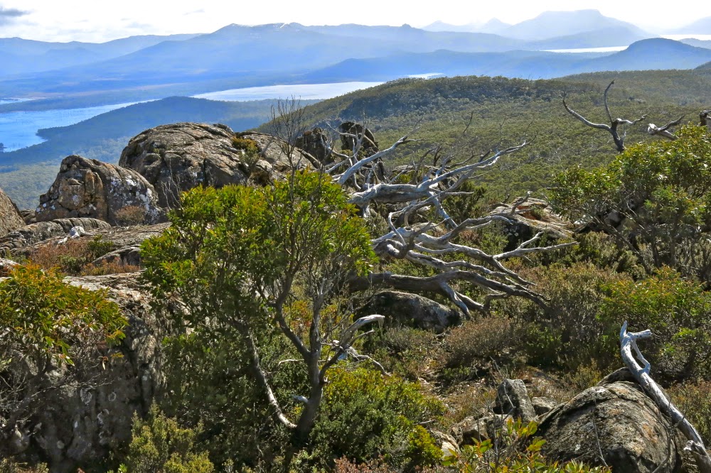
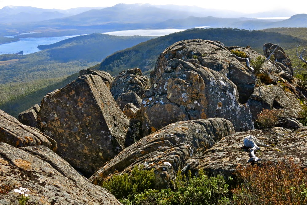
View from Wentworth Hills, to Lake King William (L) and Lake St Clair (distance, R) 
There had been a mild dispute over direction down lower, and I, knowing that others had gone off in the direction they felt to be the summit, took that as licence to do the same, and as it so happened, got to the top with a gap of fifteen or so minutes in which I could soothe my soul by staring out to an infinitude of natural delights: to vast blue and grey skies stretching to worlds beyond, down to Lakes King William and St Clair, and across to a cornucopia of mountains, many of which are familiar friends, but seen here from a new angle. It was delicious to have the summit to myself, to photograph and spend silent time with the beauty. Having taken the photos I wanted, I chose a rock and quietly munched my roll, gazing, gazing, not even worried by the rather strong breeze.

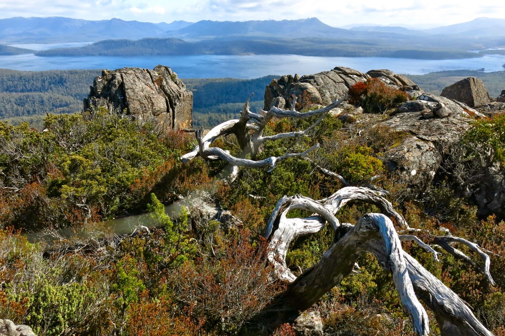
Lake King Will and the King William Range (et al)
 I reckon there was enough ground water near the summit to stay overnight up high. As to whether the mountain would pay off the trek up through the resisting forest with a sunset that made it worthwhile, that is a question that I may … or may not … one day solve. Our return route was via a saddle to the south-east of D’Arcy’s Bluff, and then following the slight spur to the left of the creek that issues from it until it intersected with the road. That’s the way I would go if I didn’t need the point for D’Arcy. If I did need the point, I’d still go up beside the creek to the saddle, and climb D’Arcy via the “back door”, after I’d got my Abel (Wentworth Hills), on the way out. The bush is friendlier by far from that angle.

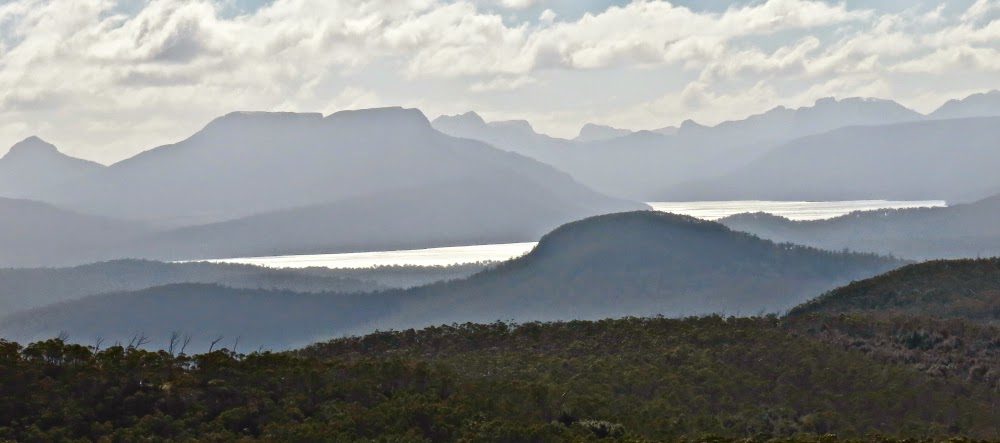
Zoom in on the watery mountains surrounding Lake St Clair – an interesting aspect.

Route. (Turned gps off early)

Florentine and Tyenna Peaks 2014 Sept

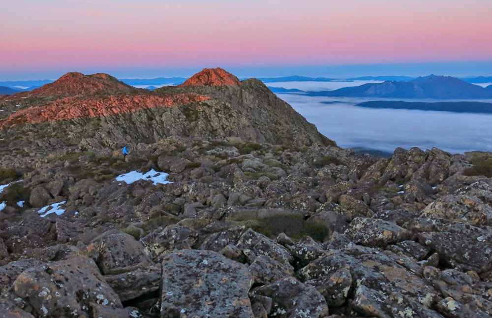
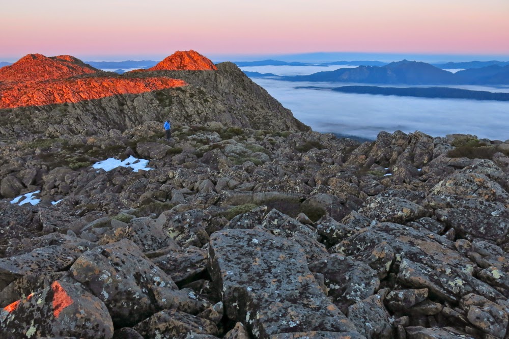
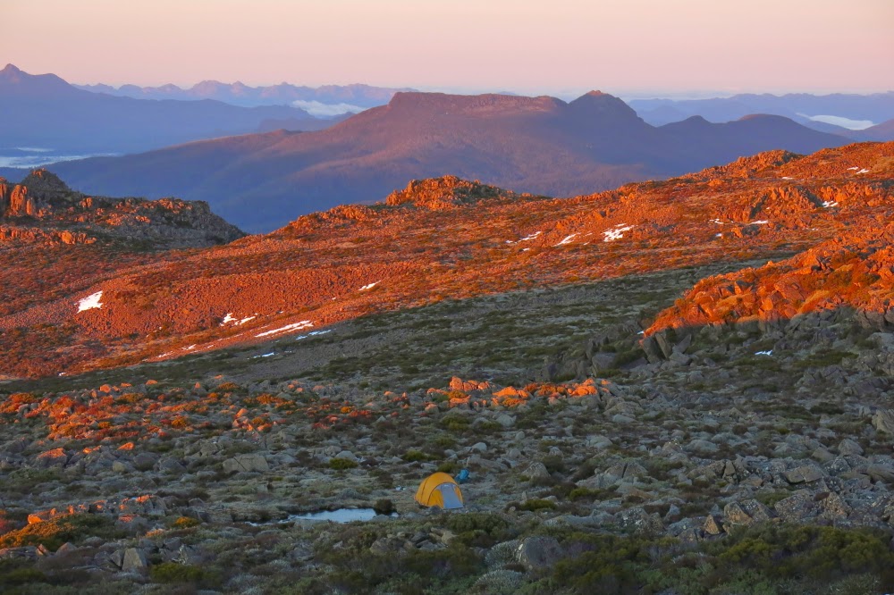
Florentine and Tyenna Peaks: Sleeping on top.  6-7 Sept 2014.

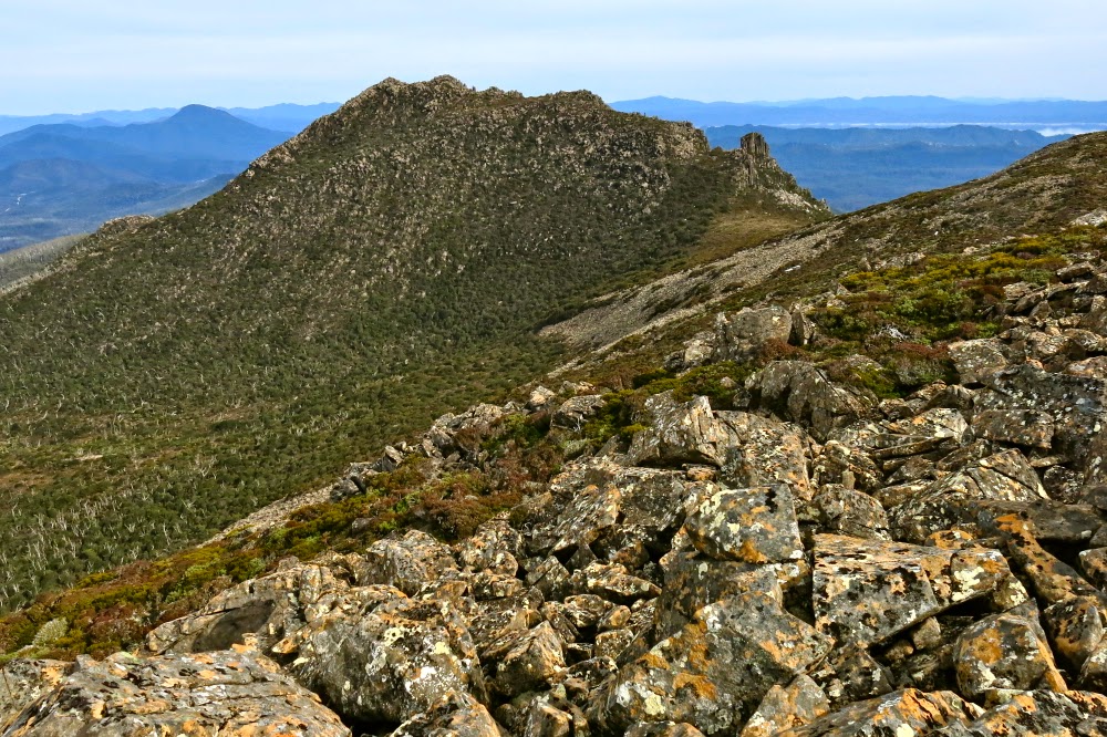
On the approach to Florentine Peak
Our feet crunched noisily on the snow as we made our way over the Rodway Range, our overnight packs on our backs. Mist played around us, sometimes teasing us with a view of the rocks around, at others enclosing us in a world of grey. We hadn’t set out from the car until after lunch and, according to BoM, the weather right now should have been fine, but this dense air wasn’t cooperating.
“I think we’ll have to switch to Plan B,” I muttered a short while later as we crabbed our way along the slippery descent from the high point, made treacherous by the moist black moss. “I don’t want to lug this gear up a mountain we can’t see and don’t know.”
My husband kind of grunted assent.
As we approached K-Col, however, I changed my mind. There was no sun and the wind was up, but we could at least now see our intended mountain, and you never knew what tomorrow would bring.
“Yeah, let’s give it a go,” Bruce agreed.

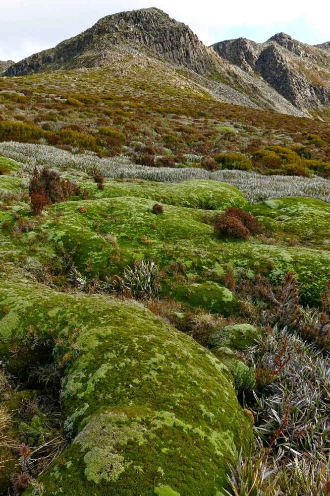
Beautiful cushion plant, with FP behind.
Although The Abels book suggested a slightly different route, I was in the mood for climbing, so we set off straight up the first mound, using channels of vegetation, which eventually produced a kind of climb-contour alternation to the first saddle, after which it was straight up on all fours – very steeply. My husband suffers from vertigo, so I hoped he wasn’t looking over his shoulder. He was … and so began moving very slowly, which he does when the fear factor kicks in. By the time we’d reached the cairn of that particular summit (nicknamed by me ‘summit 2’, as it was the second highest of the several wonderful mounds that decorate the Florentine general lump), he was ready to stop. “Let’s call this the summit,” he suggested.

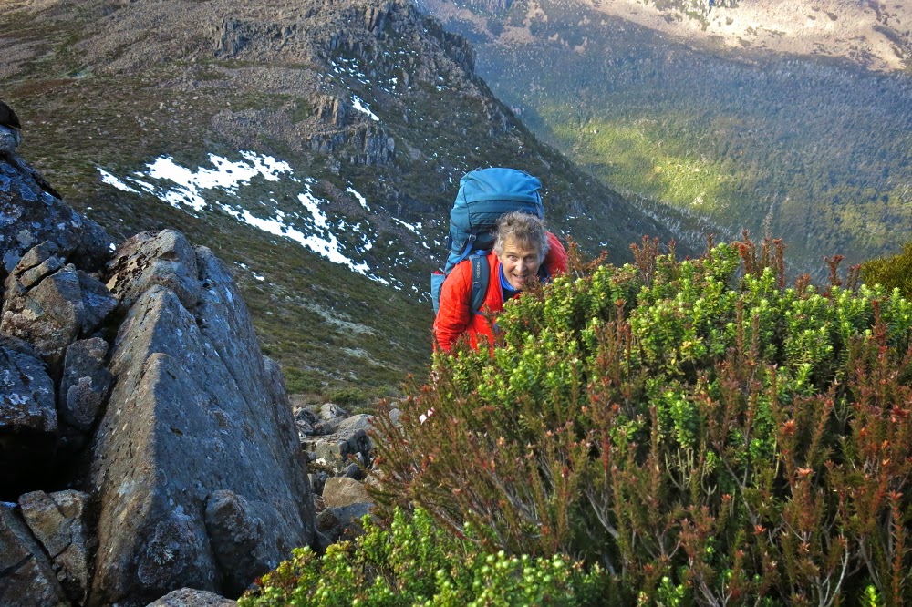
Straight up and still smiling.
“No. It’s not the summit, and I’m going to the real one. But this is a great place for camping. I can pitch the tent here if you’d like.”
He liked. I pitched. Time was now running out and I was getting frustrated and upset. I still hadn’t earned any points at all today and Bruce wanted us out by lunchtime tomorrow. We were on a summit, but it was 10 metres below the actual one, which still looked (as from the map) about a kilometre away.

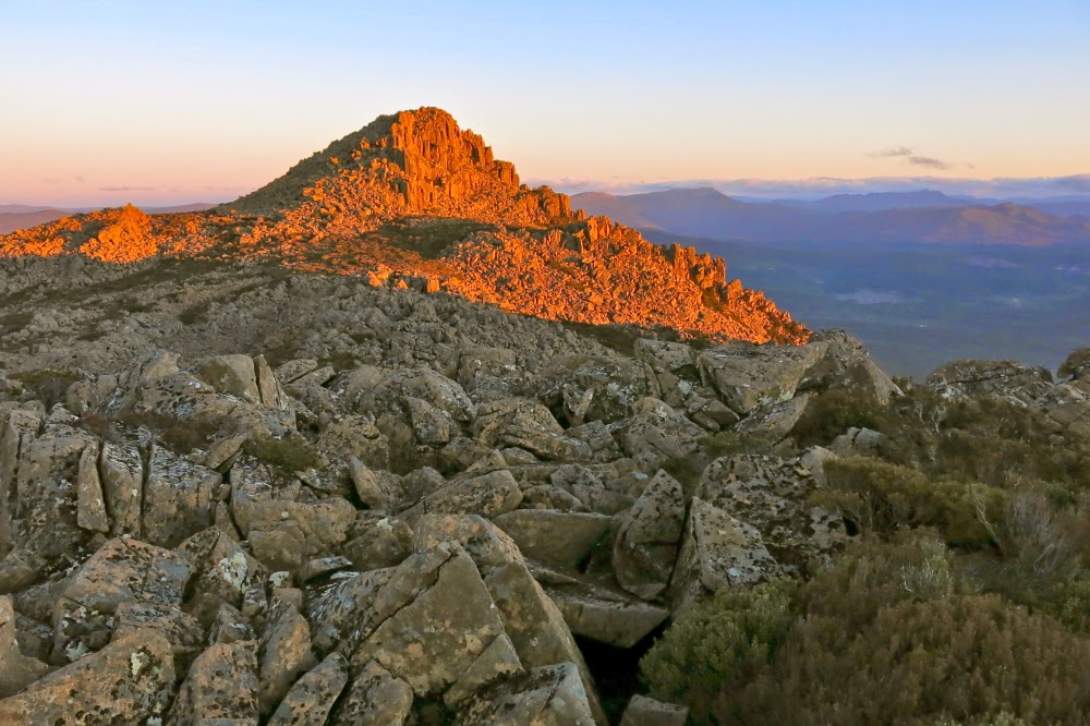
One of very few sunset photos, taken on the way back.
I erected the tent hastily, threw a few things into my daypack and was ready to try for my first points of the excursion. Bruce was now feeling more enthusiastic, so was ready to come too. Off we set at a rush and to my absolute astonishment, we were standing on its summit celebrating in under ten minutes. Hoorah. Time was still at a premium. We only took one photo up there, as we decided we could give Tyenna a try as well, given the speed with which we’d summitted Florentine. People said it was an hour in each direction. We had 1 hr 45 until total darkness. It was worth a go.
We literally raced where we could – along the vegetation leads, running until Bruce took a few falls, so then slowing to a quick walk. Twenty five minutes got us as far as a high point overlooking the final saddle separating us from our goal. There was no way I could get Bruce up and back before darkness fell. He agreed to stay there and watch, and have a rest. The terrain looked rather unfriendly ahead.

Looking back at Tyenna once we were reunited
The going was slower now, as the bush had thickened up here, and the rocks were once more slippery and jagged. As I climbed higher, the gaps between rocks were sometimes 4-6 metres deep. Despite the need for haste, there was also a paramount need for care. If I fell, I would probably freeze to death overnight, and Bruce wouldn’t have any idea what to do and would be stuck out in the open as well. The forecast was for frost in a town 1200 ms below us. Who knows what the temperature would get to up there? Three times I ended up in a cul-de-sac of unclimbable cliff-face, and had to back track, sidle around further and try again. I didn’t want to look at my watch until I reached the top, as I didn’t want to have to turn around before my goal, and I had a strong sense that I did not wish to see the information it would tell me.

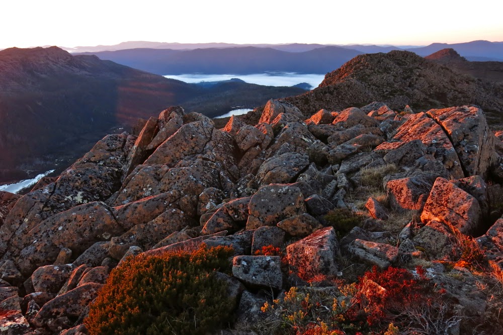
Sunrise from our wonderful eyrie
I had been right. When I finally got to the top and looked, I had taken too long in dead-ends and caution. I needed to hurry back, but still needed not to land at the bottom of a rocky crevice in a single misjudgement or patch of unexpected slippery black moss. I negotiated obstacles on all fives, a monster crab descending, and then hurried to my husband in his bright orange jacket, a wonderful beacon on the horizon catching the now golden rays of the sun.

Looking to the Mt Anne group. (Feder is visible, faintly, to the left)
In all this time – since leaving our tent – I’d hardly taken any photos, such was our emphasis on speed to beat the darkness. Our tent was maybe 45 minutes away, and the sun was setting. However, we were also now out of danger. It would get dark, but we were once more together with nothing more to climb, and I could navigate us back to our tent. I’d taken a very careful note of the shape of our summit (which, being the furthest away no longer looked as high as it actually was, so I couldn’t just head for the second highest lump); I had also been observant about the shape of the snow patch we were next to  (and I did have my gps as a backup for emergencies).

Looking across to Florentine summit 1
I steered us along the western cliff line, partly because that gave us the most light, but mainly because it gave us the best view of the sunset that was now in full swing. Now we were reunited, I used the moments where I waited for B to catch up to snatch brief photo opportunities, although I still had no time to think carefully about composition or lighting. It was, out of necessity, a matter of point and shoot. It was such a shame to be wasting a glorious sunset careening through the landscape, but I would not loosen my guard until our tent was in sight. I feel very responsible leading a man with Parkinson’s in situations like this. The few photos would at least let us admire our sunset later.

A different view of Florentine from Florentine. (See Mt Solitary there to the left).
By the time we were about ten minutes from the tent, it was totally dark on the ground, but we could observe shapes against the horizon. Luckily I knew the form of our patch of snow, as it guided me in to the control point of our tent. I was basically on top of it before I noticed it. Bruce was still in earshot, so my voice guided him in (I never let him get out of earshot). Now we were both there, perched on our eyrie, we could enjoy the remnants of the red and tangerine sunset out to the west. Florentine summit 1 had a beautiful mist floating around its head. Everything was ethereal with that light, dancing veil. We felt transported into a world of glory.

View towards Mt Field West.
Perhaps it is odd of me, but one of the aspects of summit camping that I adore is the inevitable 2 a.m. need to get out of the tent and go to the toilet. The air is so crisp at that hour and the silhouettes of mountains always particularly sharp. As I emerged from the tent, the stars glistened and flickered in a sky that was now perfectly clear. The moon picked out the delineated edges of the pineapple grass fronds, underlining each one in shining silver. I stayed outside as long as I could considering the cold, gazing, fully-satisfied at the spectacle of near perfection around me.

Looking at Mt Mueller. Our tent and its ice-block tarn in the foreground.
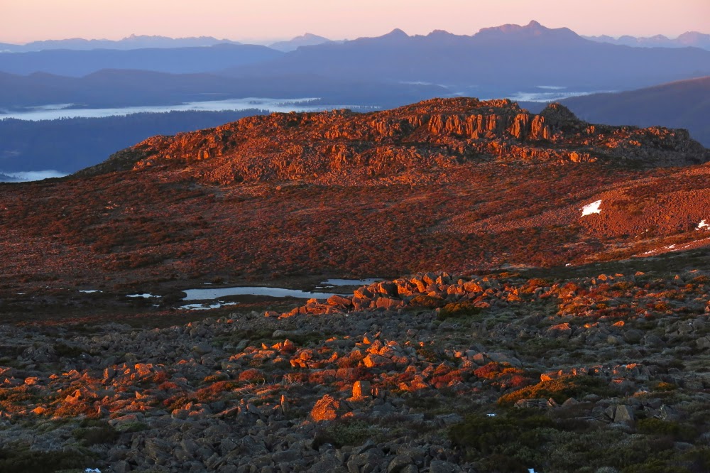
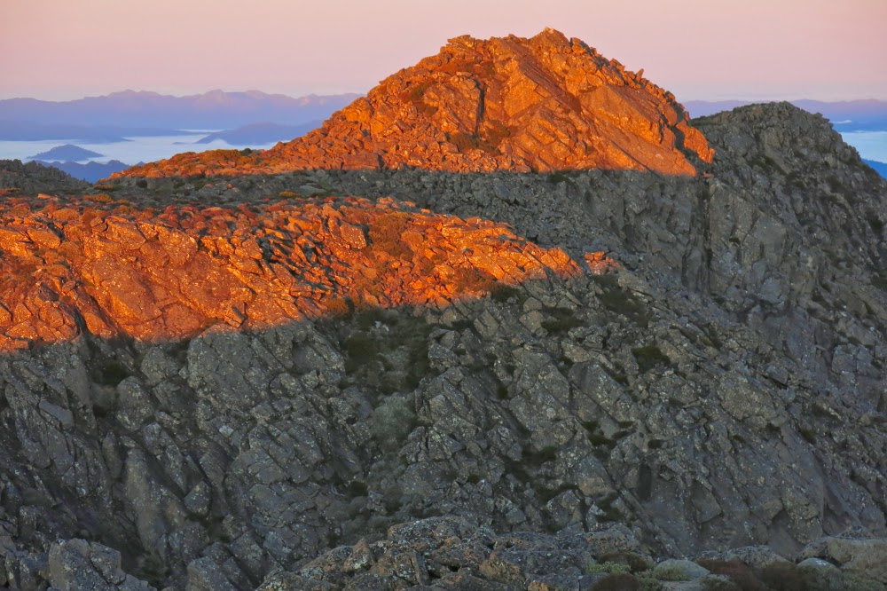
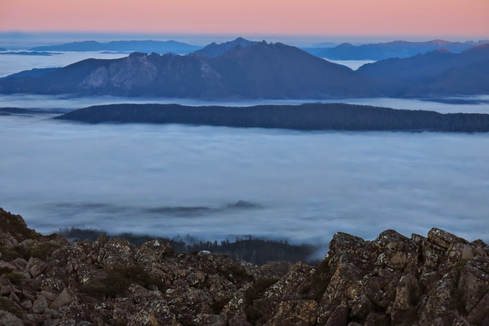
But the very best thing about summit camping is the dawn. This dawn was superlative. First we had a gentle alpenglow, followed by ruby highlights as the rising sun touched the dolerite rocks around as we perched on our summit gazing out in awe. Fluffy, puffy clouds filled the valley below. We could see all the Western and Eastern Arthurs, the Mt Anne group, Lake Pedder with Mt Solitary peeping through between Florentine lumps, last week’s mountain (Mueller), The Thumbs and more. It would be impossible to actually count the number of peaks in our purview, each one taking form as an indigo silhouette against a pastel roseate background.

Looking towards The Thumbs across a sea of cotton wool.
I was completely fulfilled as we returned to the tent (2 mins away) to cook breakfast. But here we encountered a problem. Last night, I was already tucked in my sleeping bag when I remembered that I really should fill my water bottle so we’d have running water for breakfast. I was too snug and too lazy to get up – and didn’t want to wet my fingers. I was quite cold enough by this stage. The price we paid for that inertia in the morning was that we had no water for our porridge. I watched as Bruce tried to bang things against the ice on the tarn with no effect. I suggested a sharp rock would be the only means, so he procured one and hammered the sharp end into the ice. Bang, crash. Still no resistance. Fourth time, he met with success and succeeded in breaking a patch of the very thick ice. What emphasised the degree of cold that existed overnight was the fact that ten minutes later when I went to the hole he’d made to collect water for coffee, it was an iced-over scar, a reminder of where a hole had been, but a hole no longer. I had to boil our cups to get the solid ice blocks out of them.

And finally, looking back towards last night’s mountain, Tyenna Peak.
We were back at the car late morning, allowing us to have lunch at the Possum Shed, and be in Launceston by mid-afternoon, which was needed for work reasons. It was a pleasant change to arrive home in the light, and the dogs were thrilled. They cavorted with us in the garden before we settled into other duties.

Mueller 2014 Aug

Mt Mueller, 2014 August.

The real Mt Mueller summit from the ever-so-slightly lower eastern one.
In the 1800s, Baron Ferdinand von Mueller was a spokesperson who helped change and shape public opinion towards Australian native flora and thus has a role in the history of the development of National Parks. Von Mueller, as Government Botanist for 43 years, was listened to when he spoke about matters arboreal. In an age when those with power were ripping out Australian trees in areas that we now know as national parks, and were allowing grazing of cattle, sheep and goats – and even releasing rabbits into the area (to force it into “a proper state of culture”) – von Mueller called for the protection of native forests.

In a public lecture in 1861, he went so far as to declare that trees have rights (echoing, for me, the words of Goethe who wrote about “die Rechte der Natur” [the rights of nature] and Blake who opined that “everything that lives is Holy”). Further, he argued that trees are “a gift entrusted to us” during our short stay on earth and that we have a responsibility to pass them on to the next generation “as an unimpaired property”.

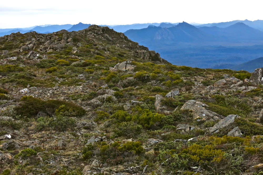
View from the second highest point on the eastern ridge line.

It is fitting that he has been given a mountain in Tasmania (he climbed Mt Wellington whilst here, no mean undertaking in those days). He also has mountains named after him in QLD, NT, WA and on an island in the north Atlantic, a mountain range in New Guinea, a glacier (and a lovely hut) in NZ and a waterfall in Brazil, as well as plants that bear his name, such as Boronia muelleri that grows in my garden.

Looking down on the Needles.
Looking back at the eastern half of the mountain. This is a “two for the price of one” peak.
On Sunday, at last, I climbed his Tasmanian mountain, often seen, but with access problems due to the inevitable Tasmanian locked gate syndrome. It also doesn’t help that the access roads are not on the map – and, of course, neither is the track. I find it odd that Tasmania wants tourists and their money, yet at the same time fails to provide information on places like this that they could go to. If we gave them better (free) access to these places, they may well stay in our state longer, as there would be more to do. For locals, the need for a key makes this a good walk to do with a club. I let Graham from Pandani club do this irksome key-work for me.
Looking back along the final scramble section. The saddle is to the right.

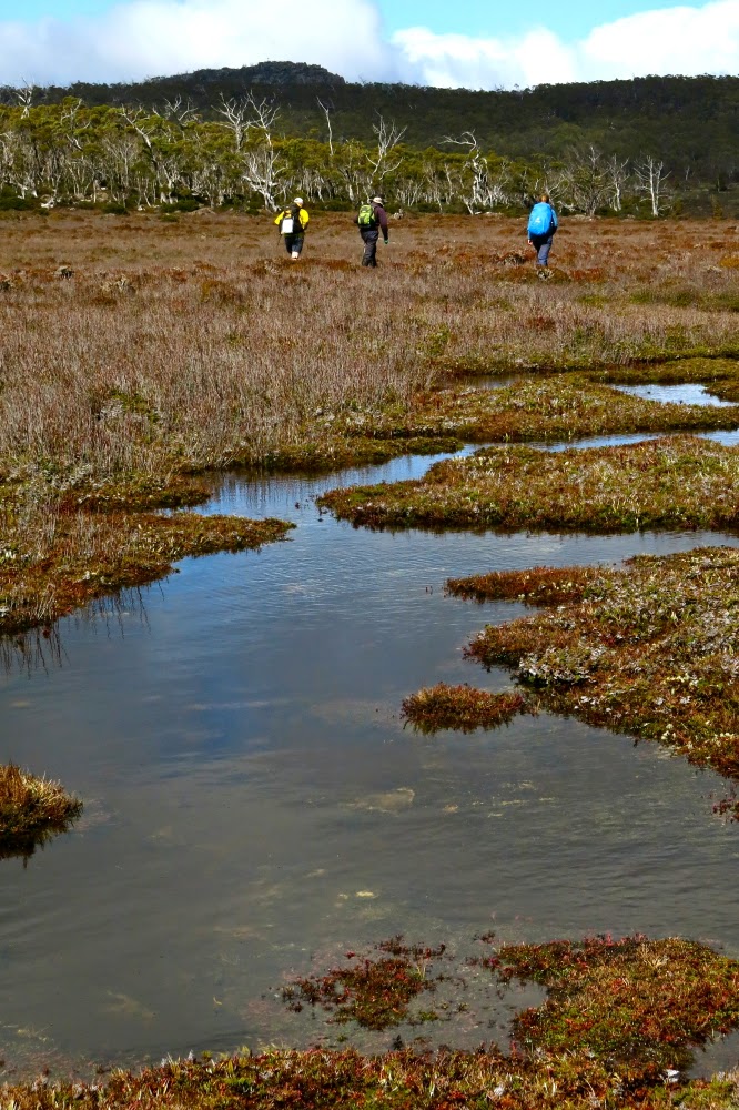
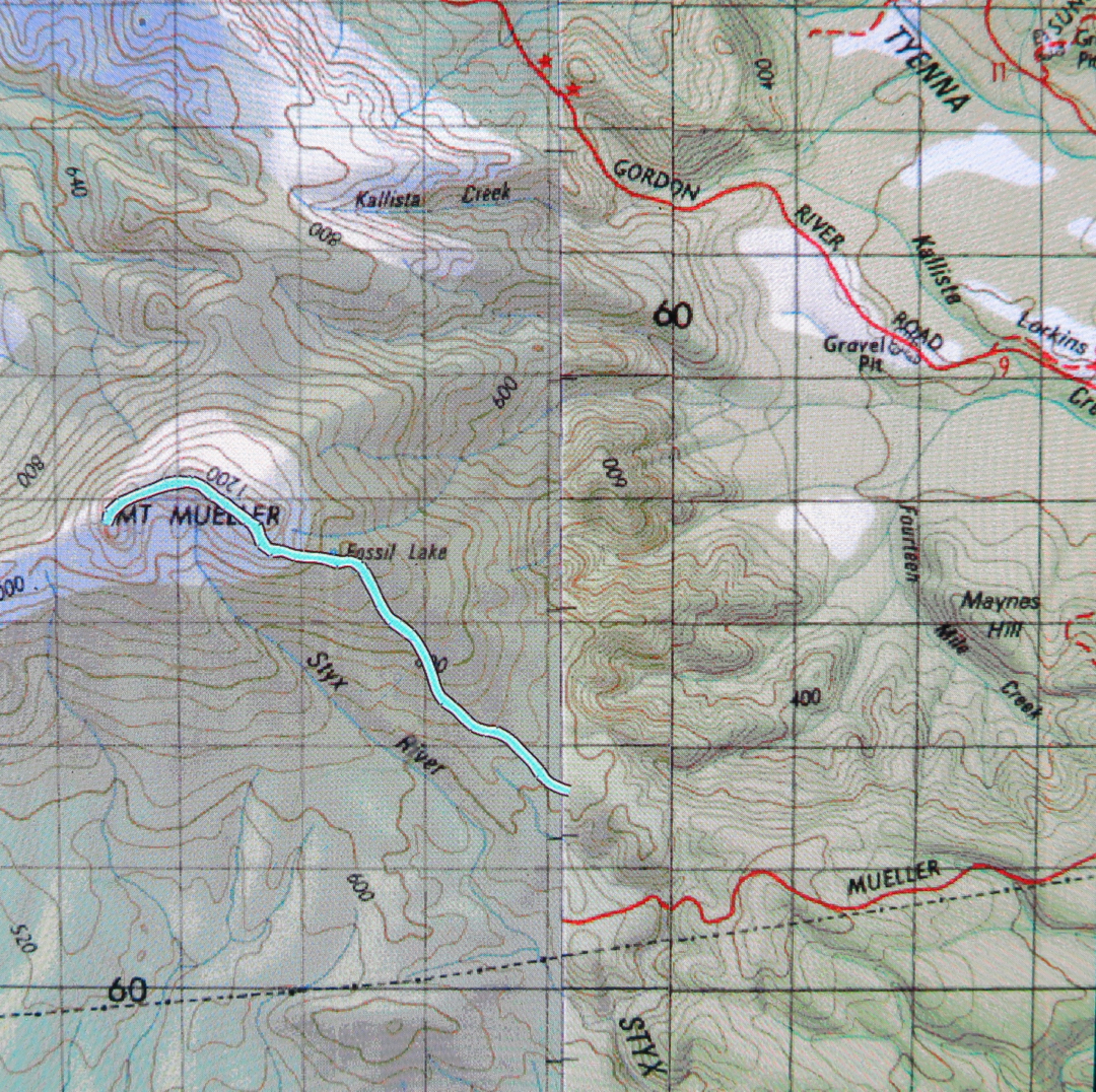
There is a very visible track with pink ribbons leading from where the Abels book tells you to park. Said track is overgrown, requiring goose-stepping so as not to trip on horizontal arms of bauera, but it’s there, and marks the easiest way through the tangle. After 30 minutes of battling this (and mud), the vegetation changes, as does the gradient, and the remaining 30 mins to Fossil Lake are easier to travel. Don’t look forward too much to the lake. I can’t think of a lake that I find less attractive. Although natural, it resembles an artificial dam with the dead trees and mud around its circumference, legacy of a previously higher water level. (In terms of measured moving times, the lake represents the half-way mark to the western – real – summit).

Me, having fun on top. Mt Anne group in background.

After the lake, the pad becomes very narrow (a human foot wide), but still easily visible until you reach the eastern summit of the mountain. From there its presence is patchy, but you don’t need it: all you do is stay high and enjoy the views and the pleasant ramble along the tops of the eastern high section that curves around and then descends to a saddle, after which there is a final scramble (which has cairns every now and then – they’re not needed either) to the top.

The view from both summits was expansive with innumerable mountains and ridges and ranges to be admired. Unfortunately for photography, the day was rather hazy, outlines not sharp and the lighting was flat. I hadn’t even bothered taking up my full-frame camera, but that was mostly because I was expecting it to rain in the afternoon. It held off, a favour for which, considering my pet virus which is still an unwanted bodyguest, I am extremely grateful.

From the saddle on the descent

See:
Mosley, Geoff, Natural for World Heritage, Appendix C
Harper, Melissa, The Ways of the Bushwalker, 42
Fairfax, Louise, Complexity and Paradigm Change, Melbourne University and   Harris-Manchester, Oxford University, libraries.

St Pauls Dome 2014 Aug

St Pauls Dome, Fungal Valley, Tasmania. 2014. Aug

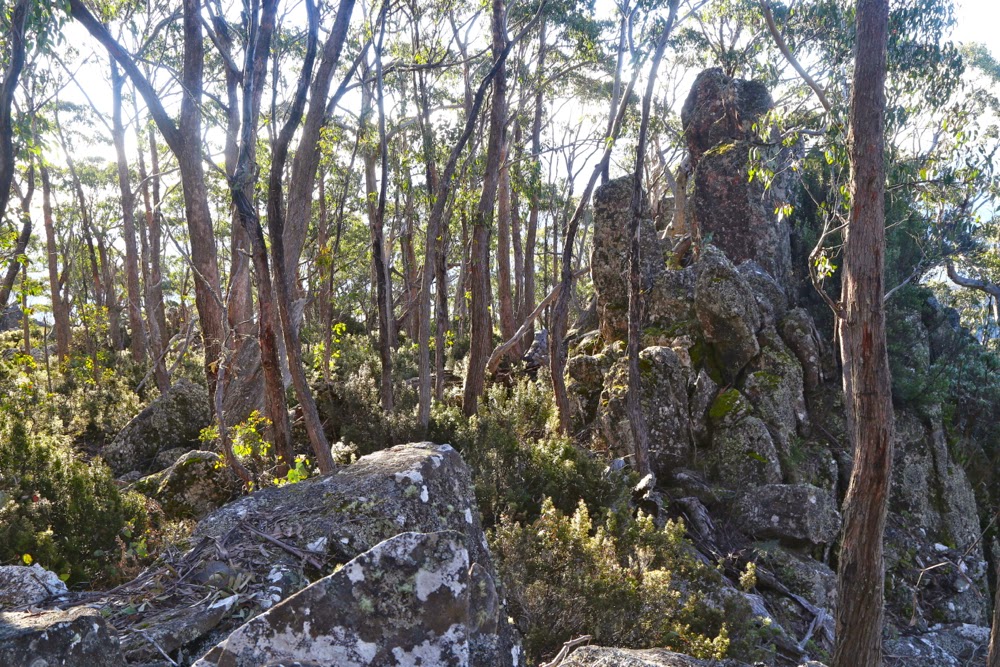
The bush in the first eight minutes
The minute you turn east off the highway to Hobart and begin heading to the coast along the Fingal Valley, there is St Pauls Dome, dominating the skyline slightly to the right of straight ahead. If you climb a mountain like Mt Henry, nearby, there it is again, looming larger than the mountain you’re on and telling you you should be on it instead. The trouble was, I wasn’t sure how to gain access, as private land separates the highway from the mountain.

A few postings to and fro on bushwalk.com and I had a telephone number, and soon after that, permission from the friendly owner, Jamie, to cross his land. My husband finished work at 1.30 today. It was on. We met in town and set out.

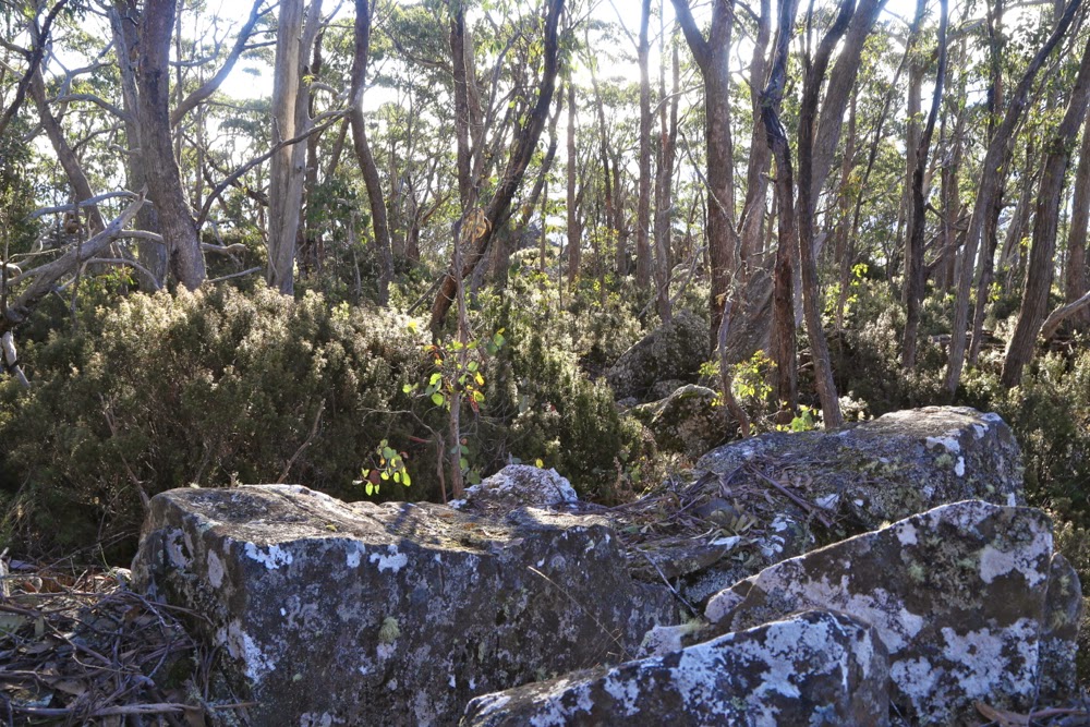
The bush with 100 ms of height gain left.
We found the sign that said this was property 3710, so turned in the gate with its sign about alpacas, crossed the railway line, and headed through the fields for the mountain. I had feared that we’d have to park at the start of the bush, but Jamie assured me I could get further than that despite my only having a 2WD, so up I continued. I was pleased to be doing this at last, not just because I’ve ignored the gauntlet tossed in my direction each time I pass, but also because there’s a big orienteering event near here in January, and I wanted to know whether this mountain was worth recommending to some of the interstate visitors who’ll be staying with us.
My judgement now I’ve climbed it and seen the “view” is that I’ll send them up St Patricks Head instead.
Not too far from the summit now
 
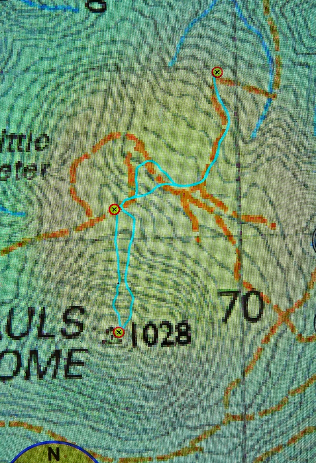
Directions: Looking at the map above (scale 1:50,000), you can see where I parked just below a corner that swings left (as you drive south towards the mount), not far from crossing a creek (most northerly waymarker). The section from the creek to that corner was a little hairy in our 2WD and if you love your car or are nervous, it’s probably better to stop just before the creek, where there are numerous places to turn the car and pleasant, green, flat sections just to sit and enjoy the bush while you don boots and gaiters. Continuing to drive to where we did saved us a bit of time which, given how low the sun was now in the sky, was necessary for us on this occasion. Turning the car around where I did was about a 7-point turn (but out car is very long). There is NO way I would have driven any further.
We then followed the road that would have even tested a 4WD up, as per the map, cutting off a corner in the road by taking the hypotenuse through the bush to meet it again higher up. The second waymarker is where a Pandani group (who did have a 4WD) parked when they did it last year. It took us 30 mins to walk from the first to the second waymarker.
As you can see, I left the road where the spur comes down to meet it, and just headed straight up. The bush at first looked like the bush in the first photo above, and was very easy to negotiate. After 7 minutes, the bush type changed completely, and short prickly shrubs predominated. However, these were very easily avoided, as the ground became very rocky, and I just steered us along rocky leads that took us to a mere 100 vertical metres of the top (another 7 minutes since leaving that second waymarker).
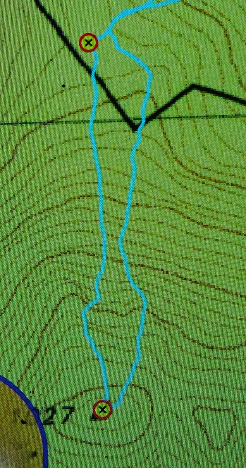
On the map below (1:25,000), you can see a kink in our direction partly onto a spur. That’s because there were some very interesting rocks there that I wanted to climb …. trouble is, you can just see in the contours the hint of a shallow gully, and the moisture it contained meant that the scrub was now over my head and very thick and our progress was pretty slow from that kink to the top (scrub gloves came in handy) – a further 14 mins. Therefore, on the way back, you can see I chose a more easterly route, and we both felt it was way faster, except that the ascent time was faster than the way down – but that’s pretty standard for me. I’m a girl on a mission on the way up if left to my own devices. In total, the time from that second waymarker where a 4WD can park to the top took us 28 mins. Even with the extra 50 mins’ walking that parking where we did added to the return journey, it was still less than a two hours’ walk (plus sitting at the top), and a very pleasant way to spend one of the last afternoons of official winter.
That said, don’t do it for the view. People talk enthusiastically about it, so I was expecting something glorious, and most definitely expecting to see the sea (Wildtiger says you can see the Tasman sea, but we couldn’t). We perched on the trig rock to eat before descending, and looked at leaves and trunks and, yes, some hazy distant mountains if we craned our necks, but I didn’t even take one photo!! Afterwards, I explored a different mound that looked promising, but it wasn’t brilliant (but was better than “trig rock”). I climbed the trig itself, thinking that perhaps the problem was my diminutive height – and that gave me perhaps the best view – but I wouldn’t rave. The scene we both enjoyed the most was after we’d joined the road and were walking along it to get to the car. The light was now beginning to change colour and the water-laden air was taking on golden hues tinged with grey that made that section very peasant. We could actually see further there than we could from the summit.
I have now checked with Jamie, and he’s cool about having his number here. If you want to call him about climbing the Dome, his number is 0419 394 572