Bowes 2014 May

Mt Bowes May 2014
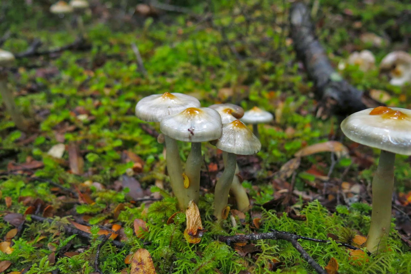
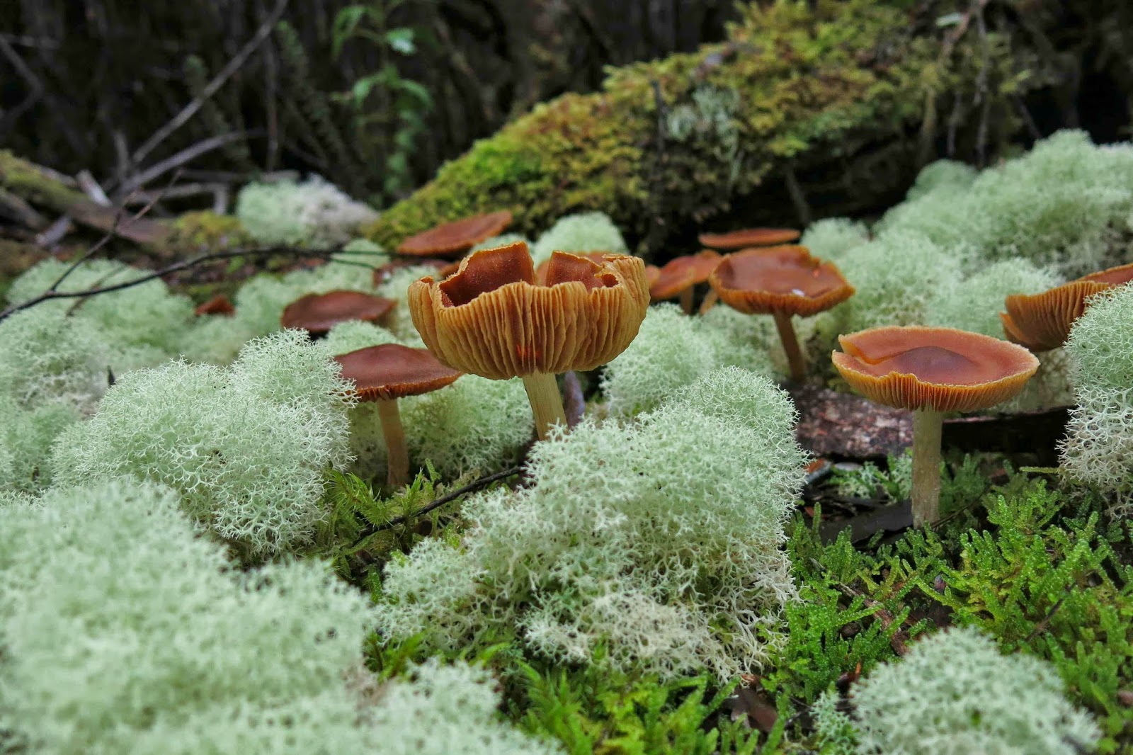
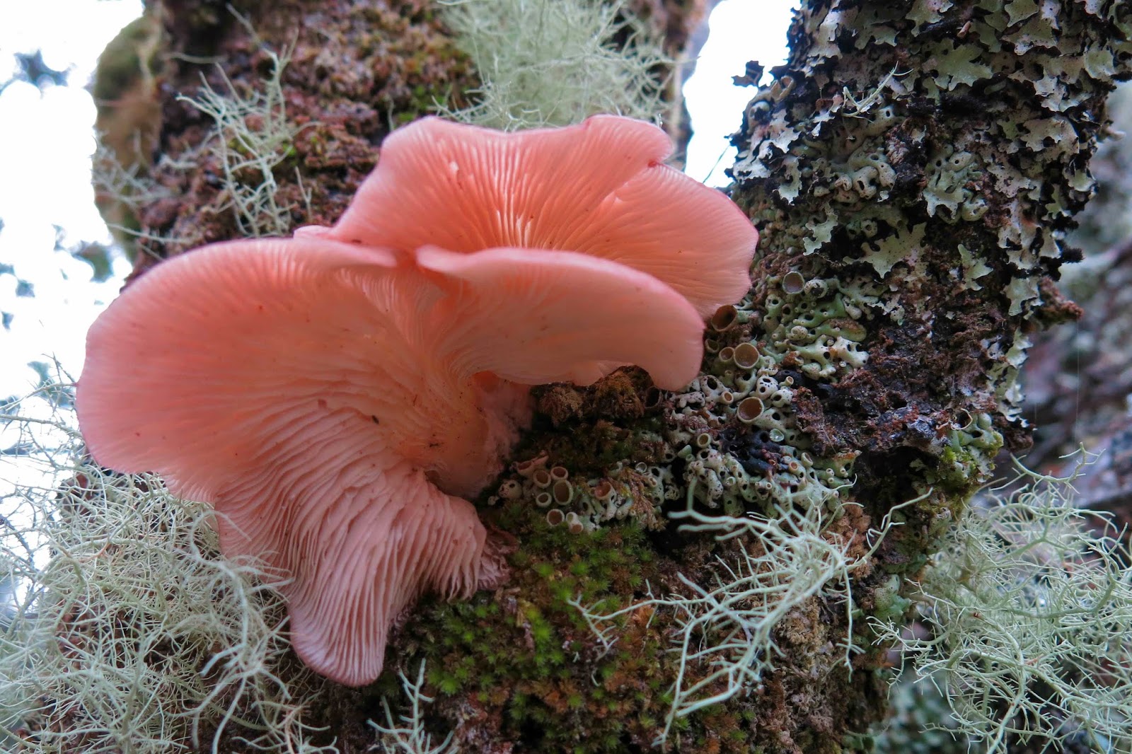
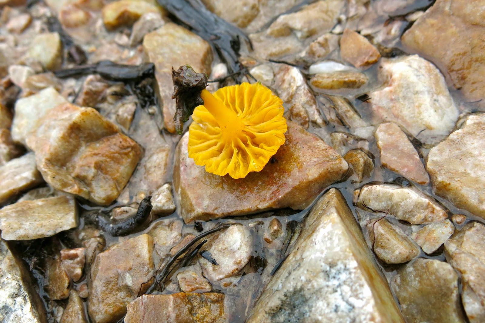
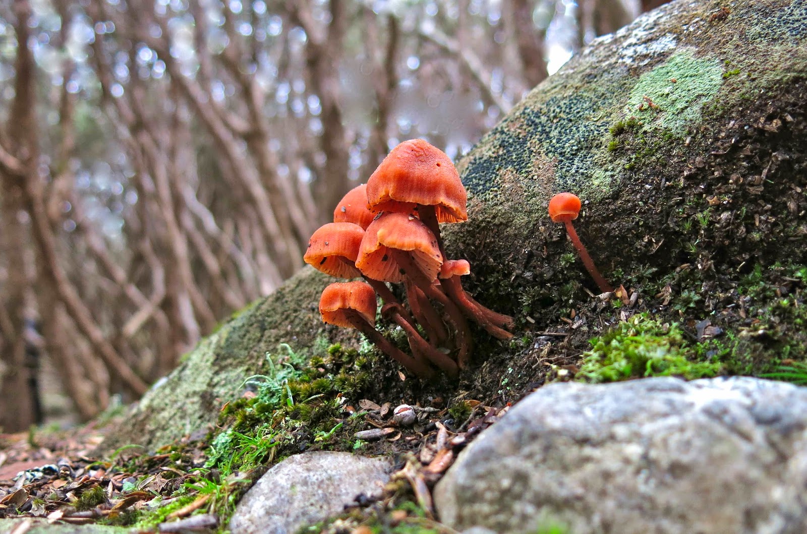
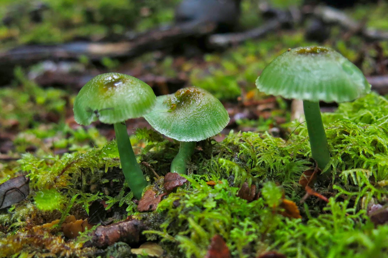
Entoloma rodwayii.

Mt Bowes is in the south-west, so it must, by definition, be a good mountain. As soon as I saw it on the programme I signed up.

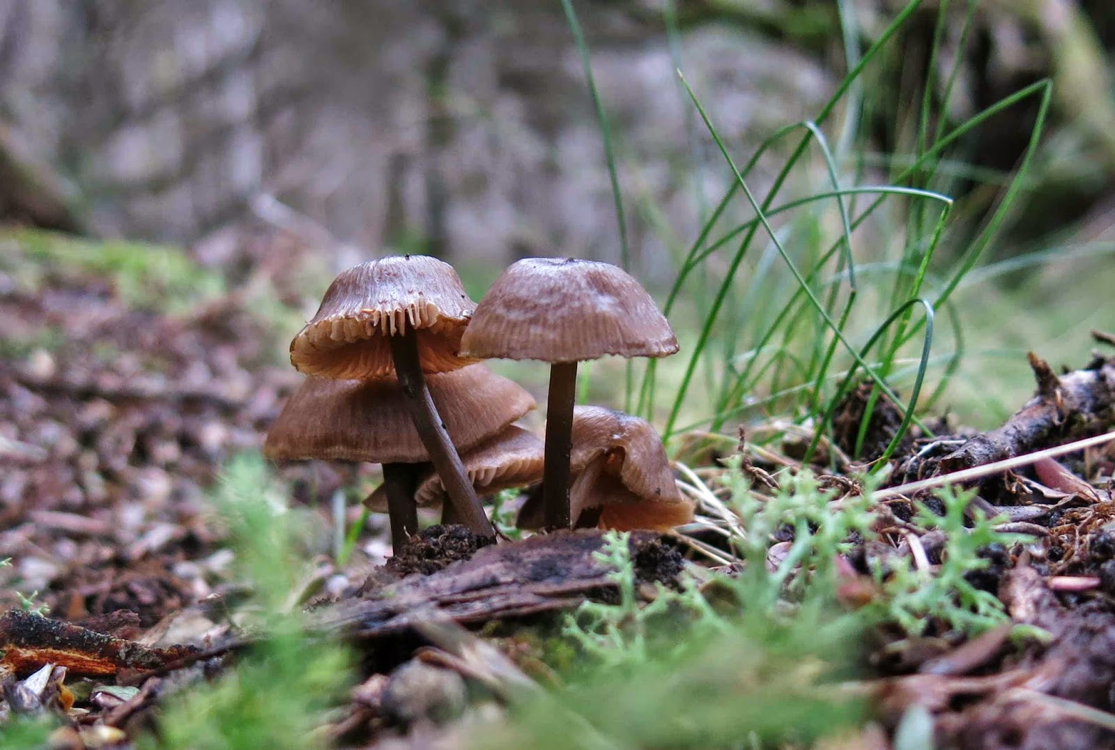
Possibly Cortinarius levendulensis
The forecast was for a pretty dismal day – and yet fourteen of us turned up to brave it; I packed more layers and coats than for a summer’s multi-day expedition, and heaps of food in case the 4.30 a.m. start that I’d need to meet the others in Hobart at 7 would leave me more peckish than usual during the day. (It did. I was craving lunch by 10 a.m.)

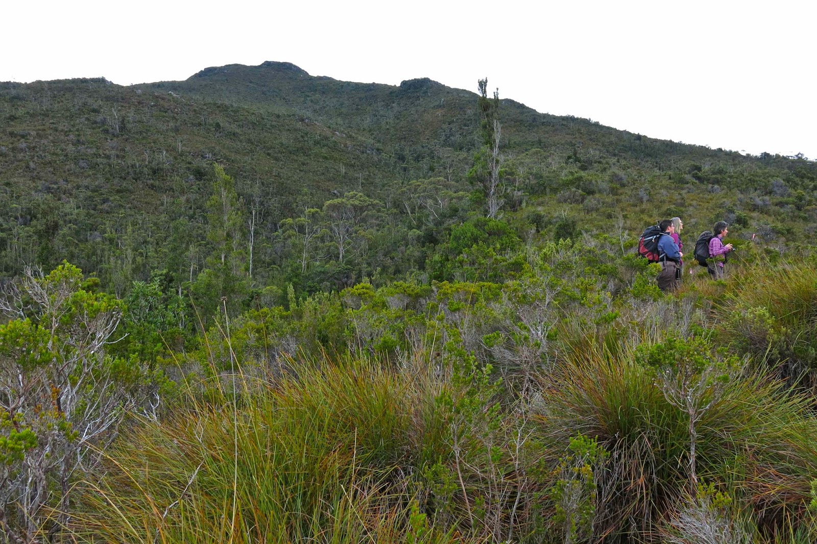
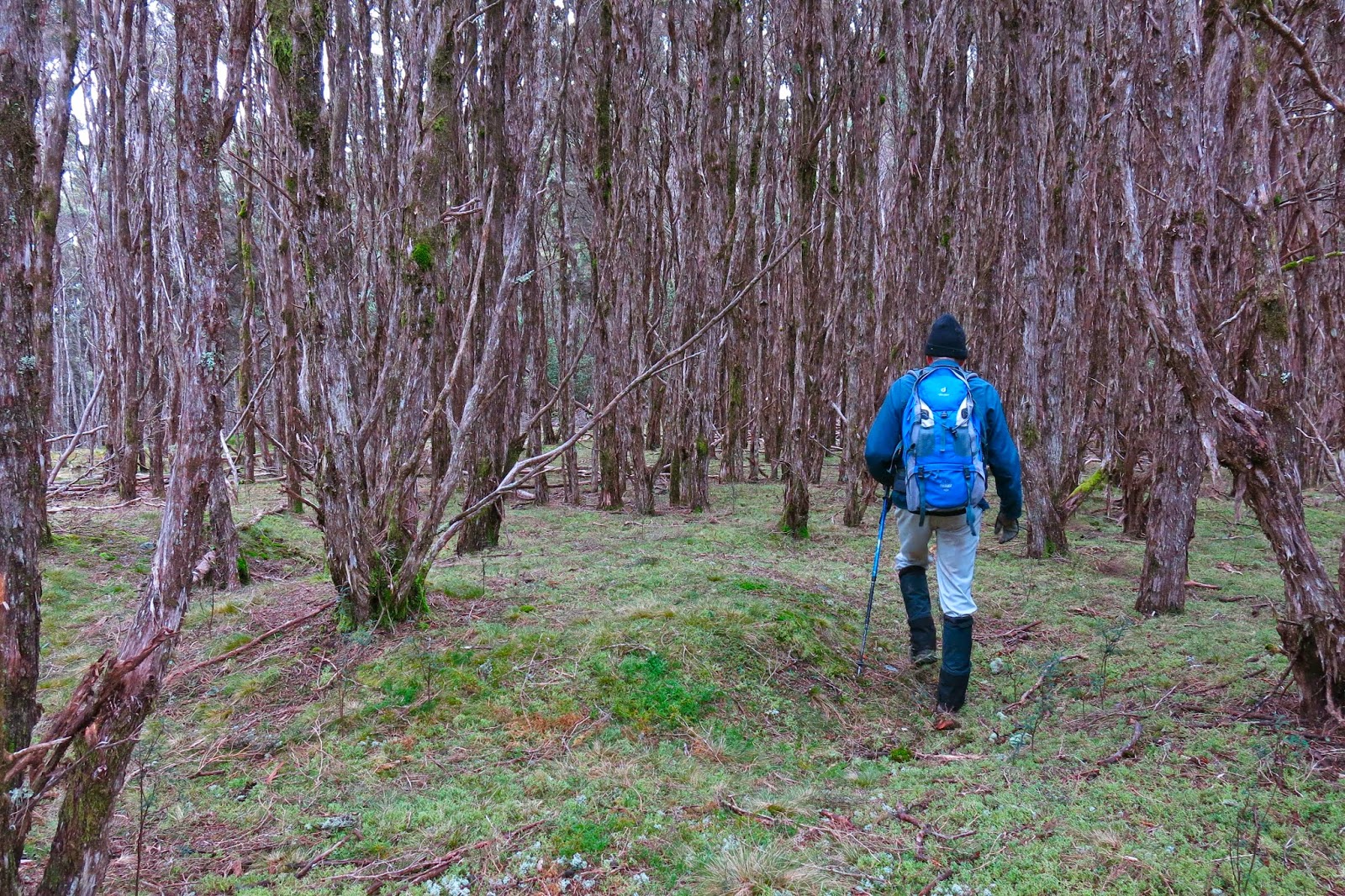
Our track – not always as easy to see as this bit here! 

My mental image of what lay in store was, I guess, informed by trips to the nearby Western Arthurs: I imagined a lengthy phase of muddy button-grass plain ceding to alpine vegetation once we’d gained height. Wrong.

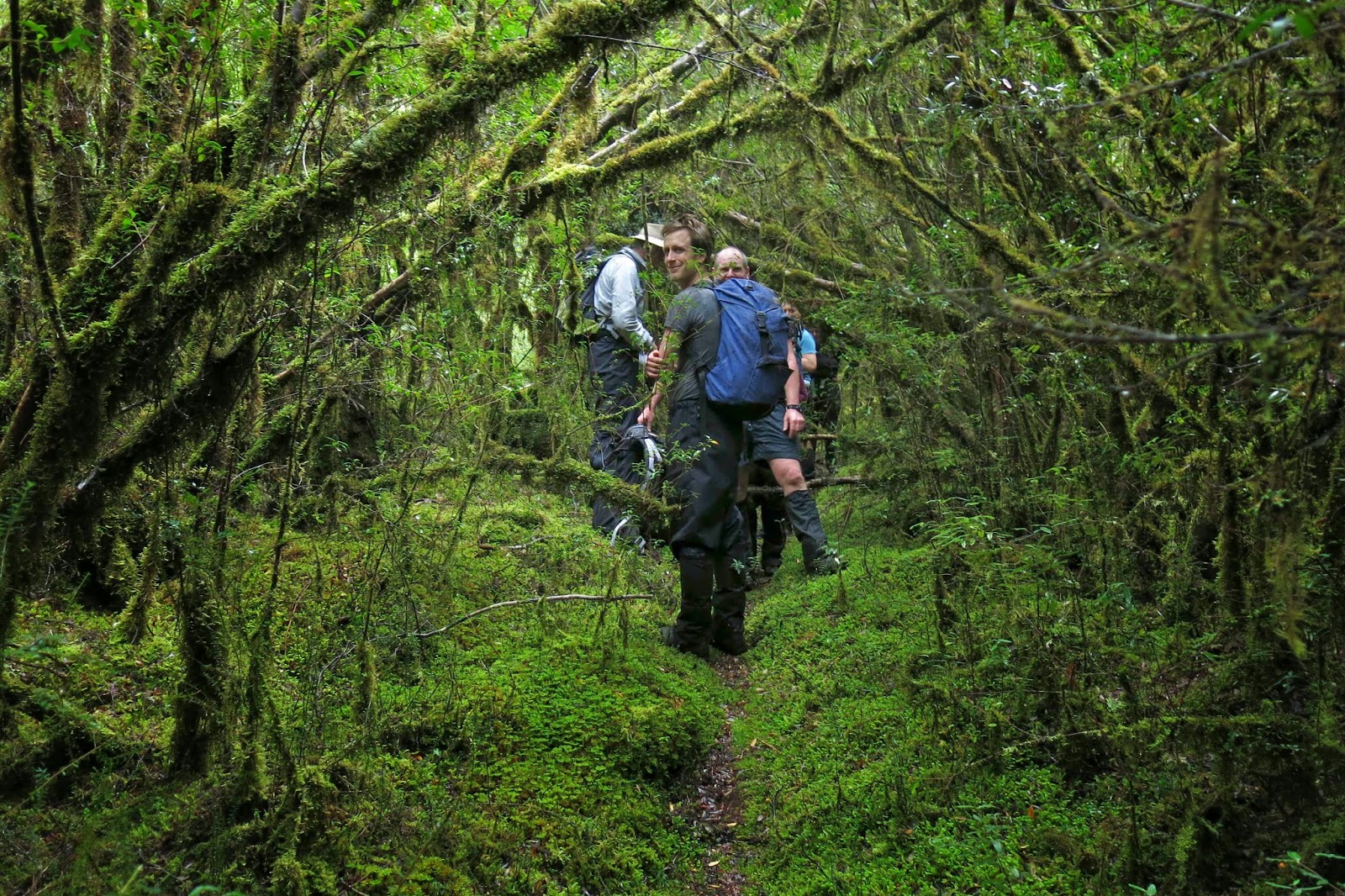
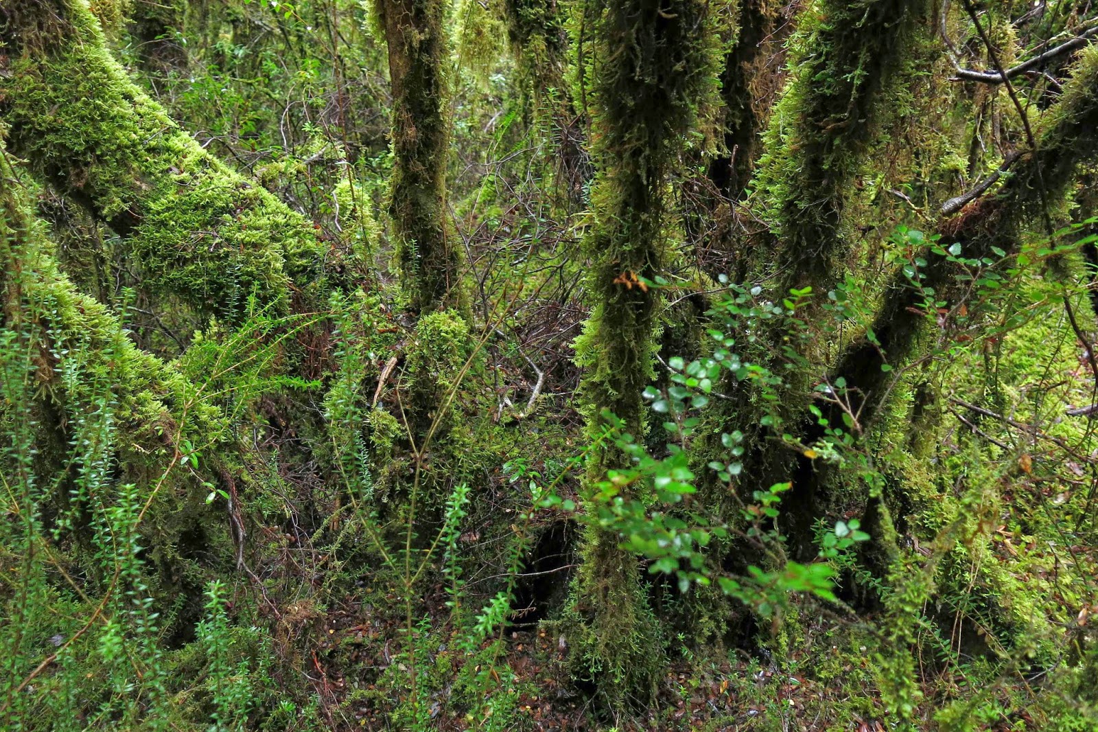
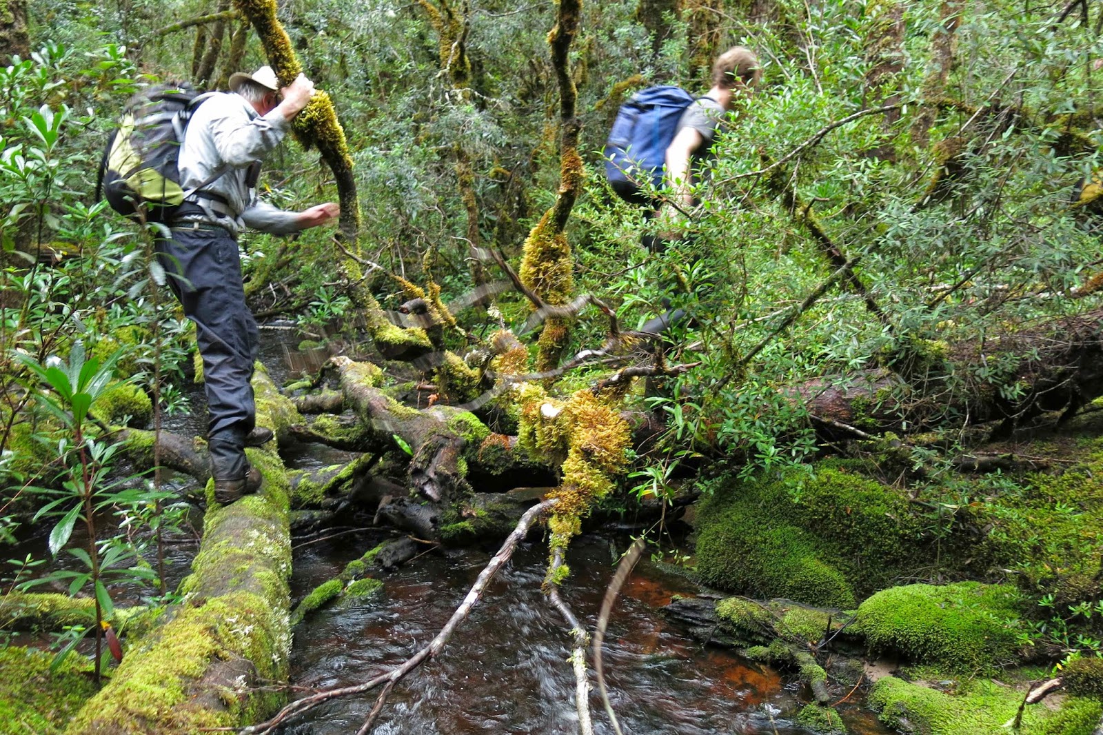
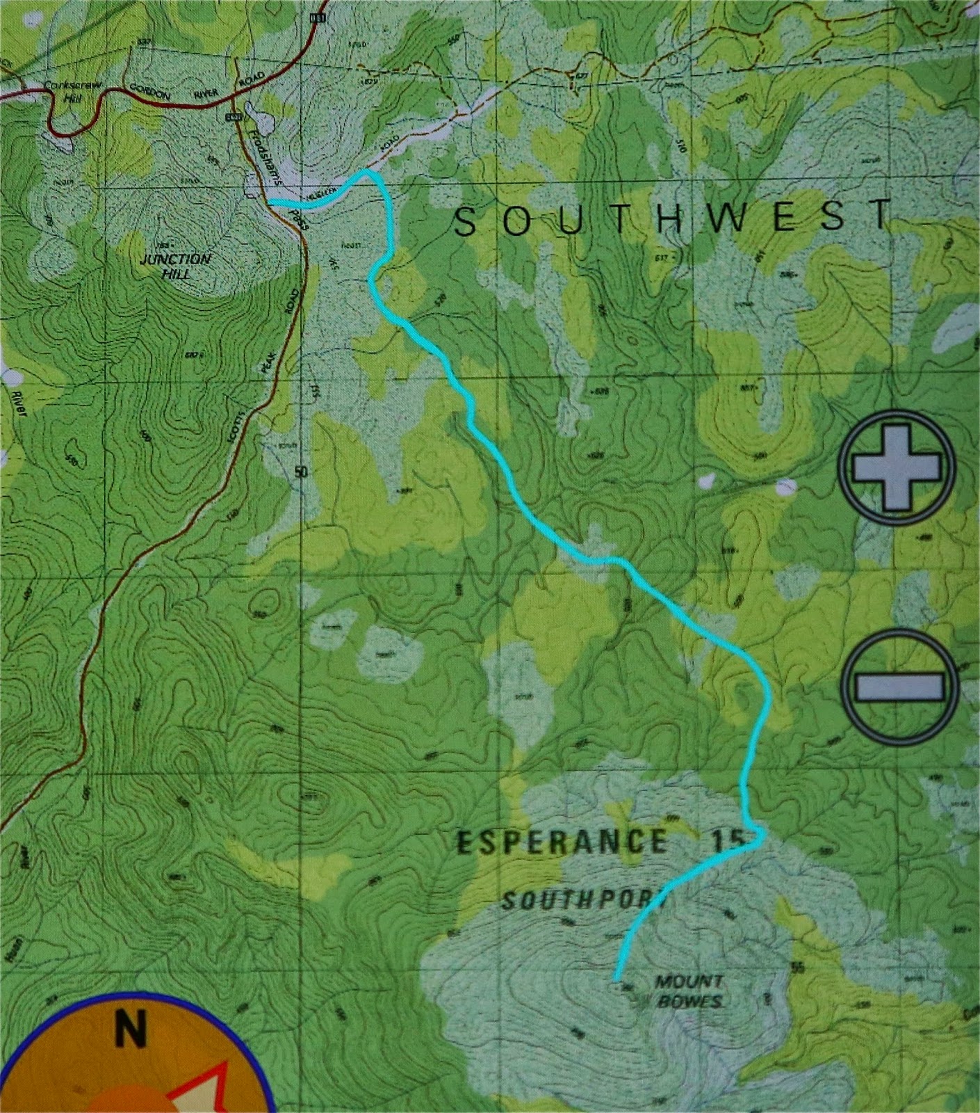
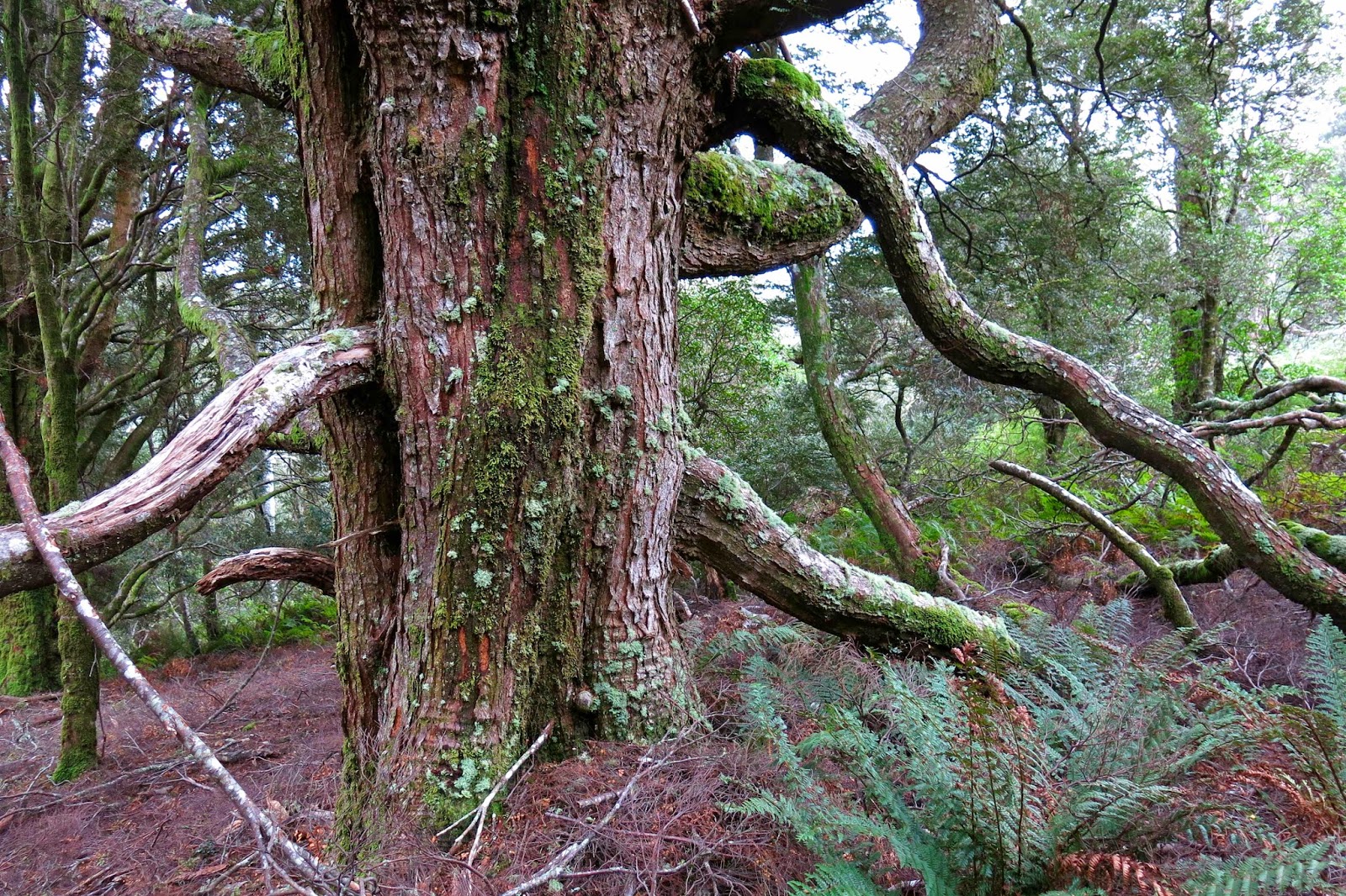
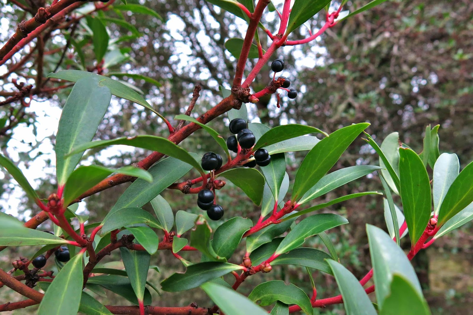
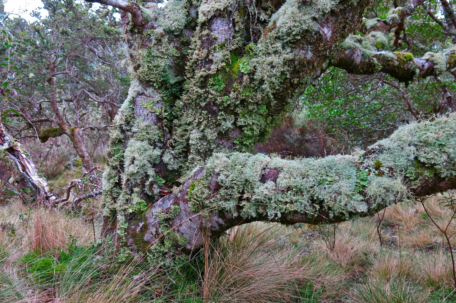
Having parked at the locked boom gate (en route to Mt Mueller) and swallowed the 500 ms or so of road to the cairn that marks the start of the pad, we entered the domain of melaleuca and leptospermum scrub, complete with requisite muddy pools of unknown depth to dirty our boots and gaiters. This section, however, was short – perhaps a kilometre  long – after which we entered quintessential Tolkien country, with sentinel Ents in every direction, fabulous guardians of the sylvan domains. The forest was very different to that of my normal bushwalking diet, which features huge myrtles and fatter trees; here the trees had quite narrow trunks. The bark underneath was invisible, as all wood seemed covered in a rich coating of vibrant green moss, with hairy lichen-beards hanging from horizontal surfaces. Colourful and abundant fungi were, of course, a distraction – so much so that we hardly saw our leader at all on the outward journey: he was too busy bowing obeisance to the fungi, his camera held in a suspicious position. Tannin-stained creeks, pure and gently flowing, were crossed by natural bridges made from fallen trunks.

I learned that this pad was originally the path cut by Edward Alexander Marsden in 1898, and is part of the original and much larger track going from Port Davey all the way to Fitzgerald – a very long distance – intended as an escape route for shipwrecked sailors. Snooping around the web, I have since picked up that the Port Davey track was used in 1914 to check out a rumour that a German submarine was lurking in Bathurst Harbour, intent on destroying troop ships as they rounded the coast. At that date, the track hadn’t been used since a 1905 shipwreck.

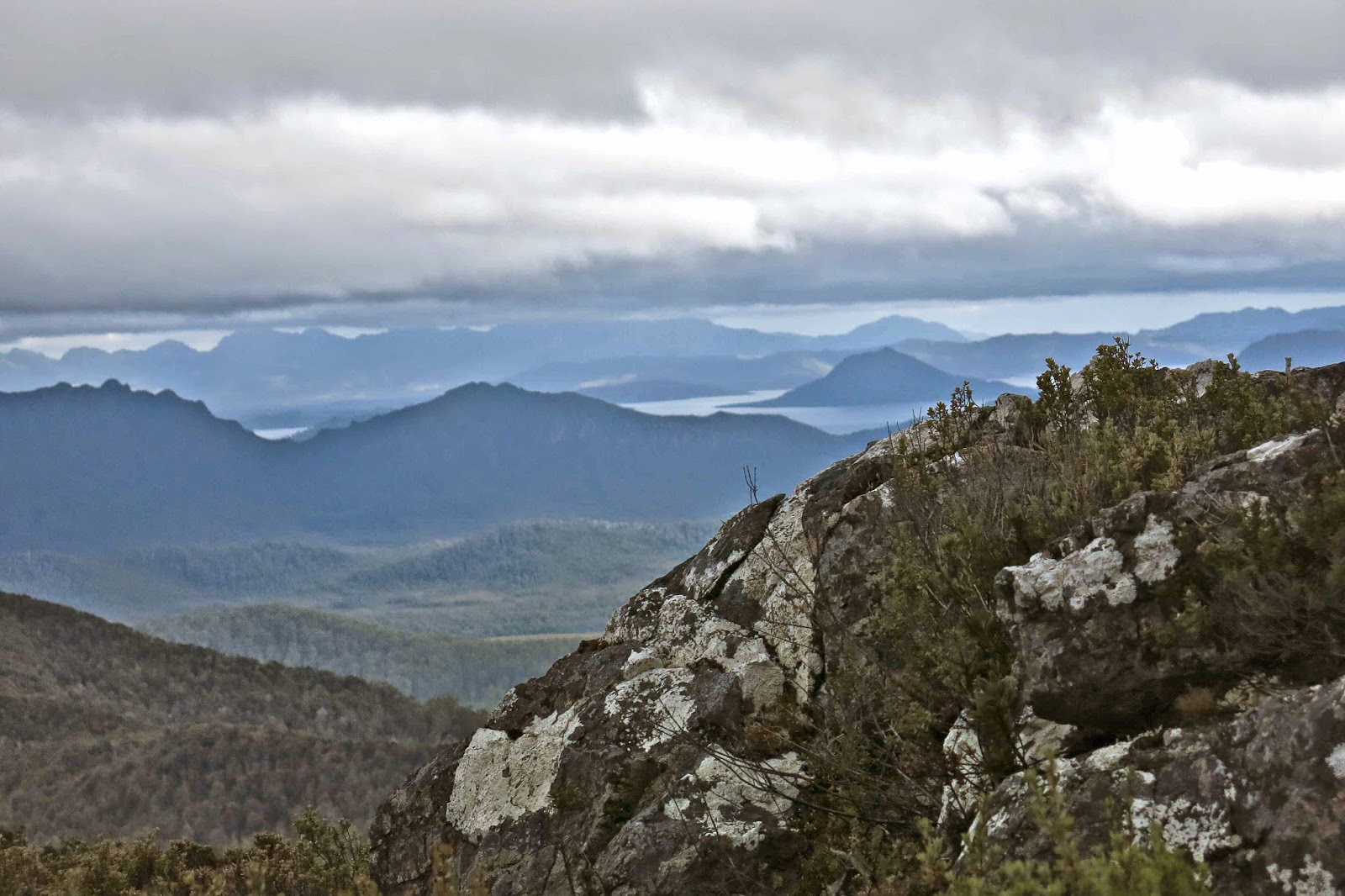
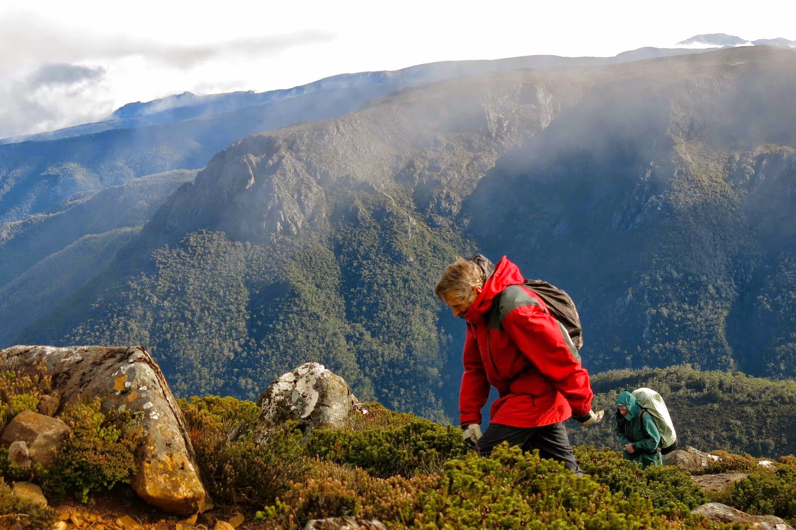
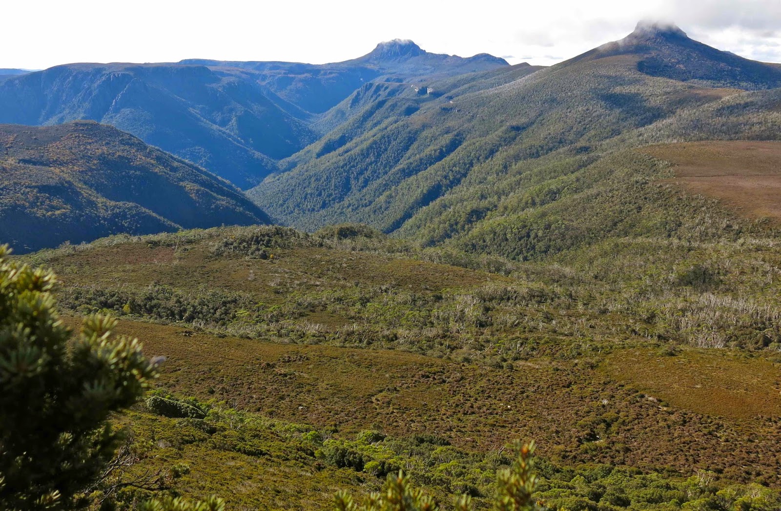
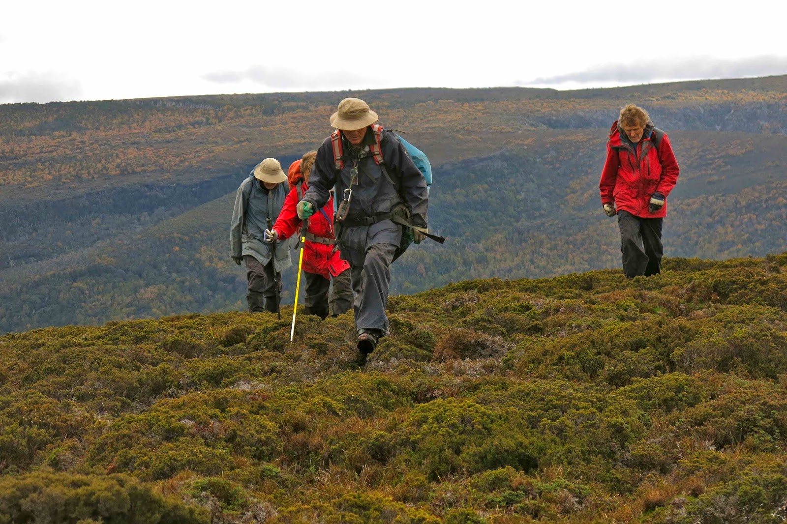
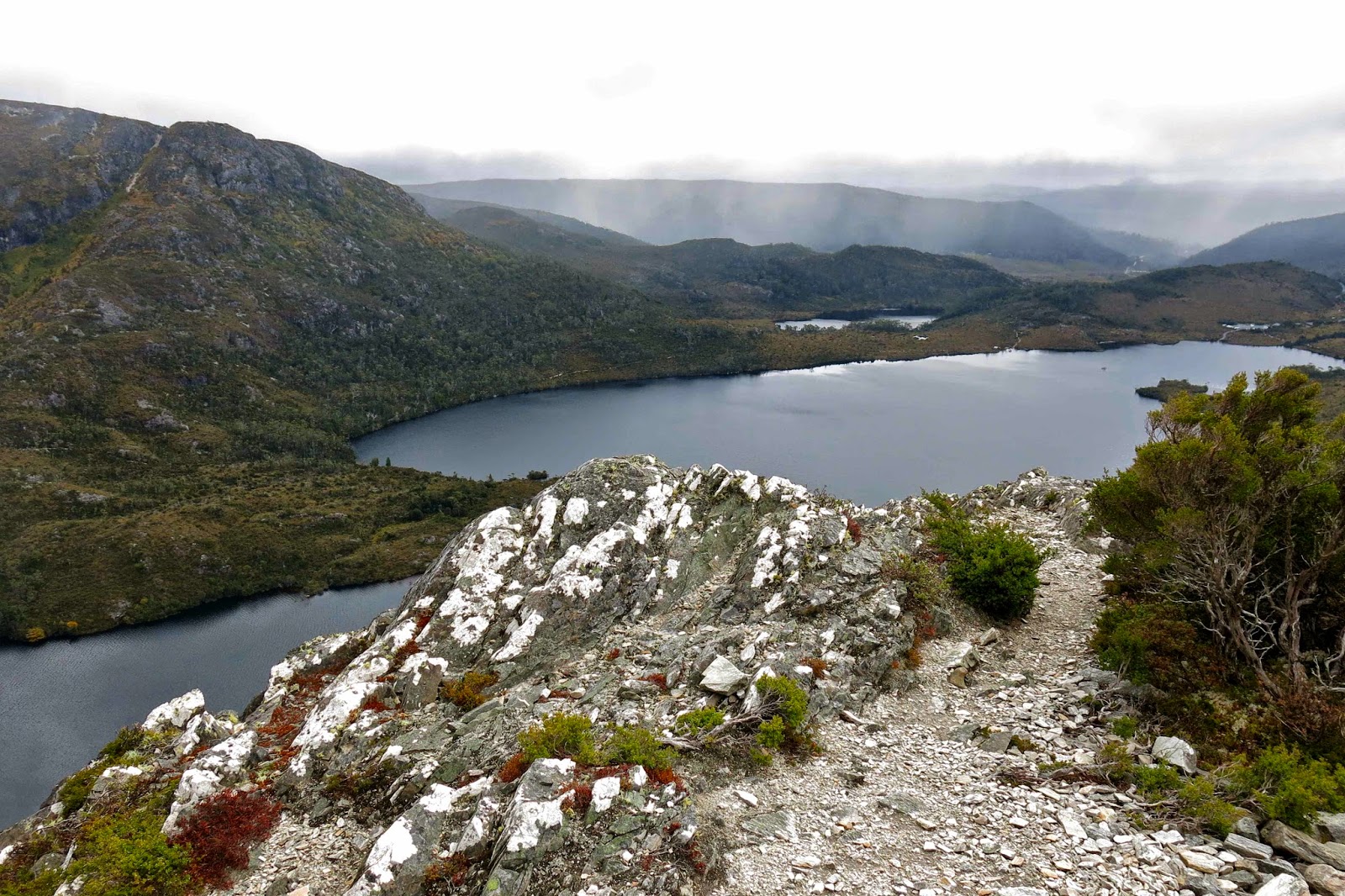
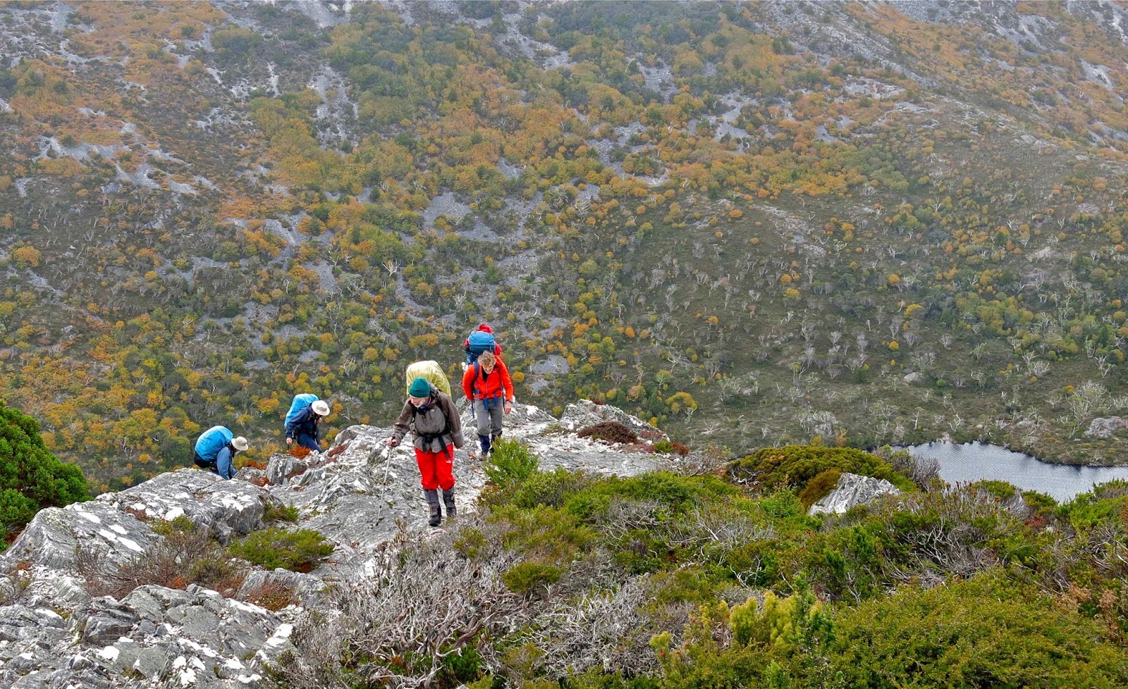
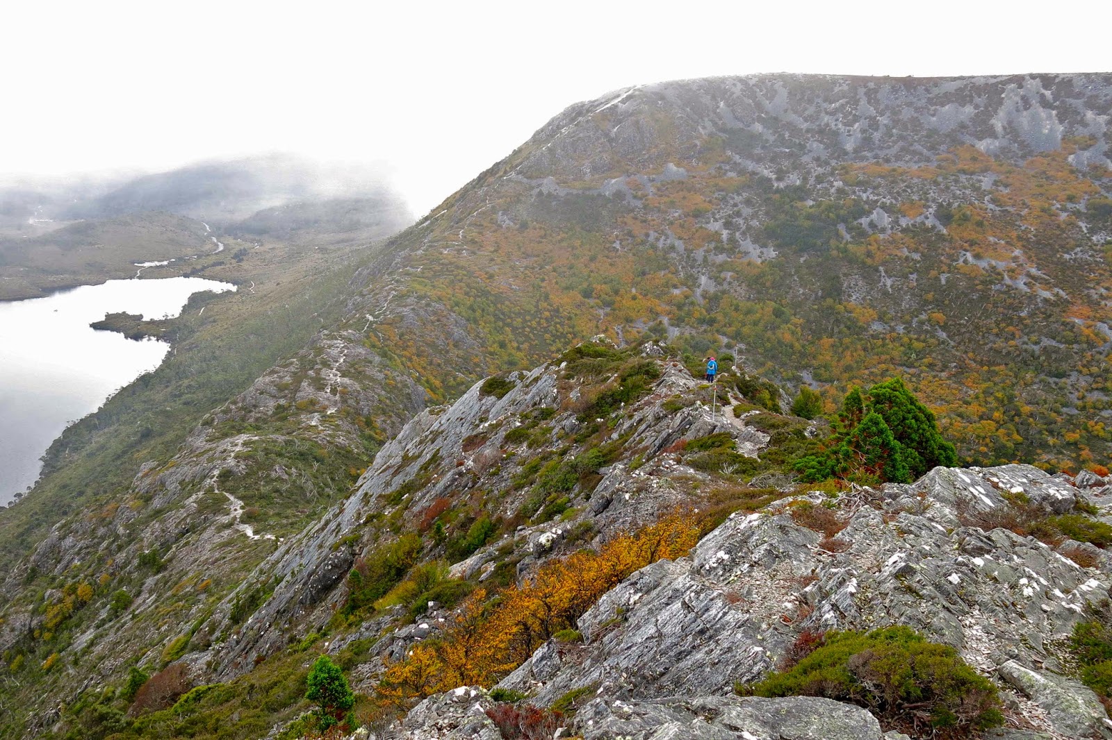
After many wonderful kilometres of this rainforested beauty, we were in a position to diverge from this path and begin the climb proper (still adorned with pink tape [mostly], but it was quite hard to find evidence of human wear on the ground). The quite steep rise was made more taxing by the presence of waist-high bauera and other bushes to keep us honest in our efforts. It took longer than I expected to reach the summit. Once up, we found a small depression out of the wind, which was necessary, as most of us had become wet from the morning of pushing through wet bushes plus the sweat generated by a healthy workout on the way up. Like a magician pulling rabbits from a hat, I seemed to amuse some by the number of coats and layers that I extracted from my pack to cope with the fact that we now had to stop moving. Like little Michelin men, we sat on top eating and looking at our hard-won view of half-disclosed mountains and a grey, moody Lake Pedder way below. The vista was tantalisingly full of promises that would not be kept on this day.

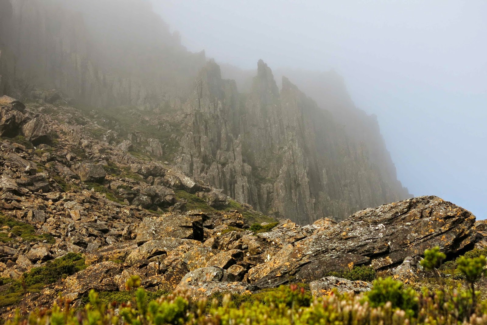
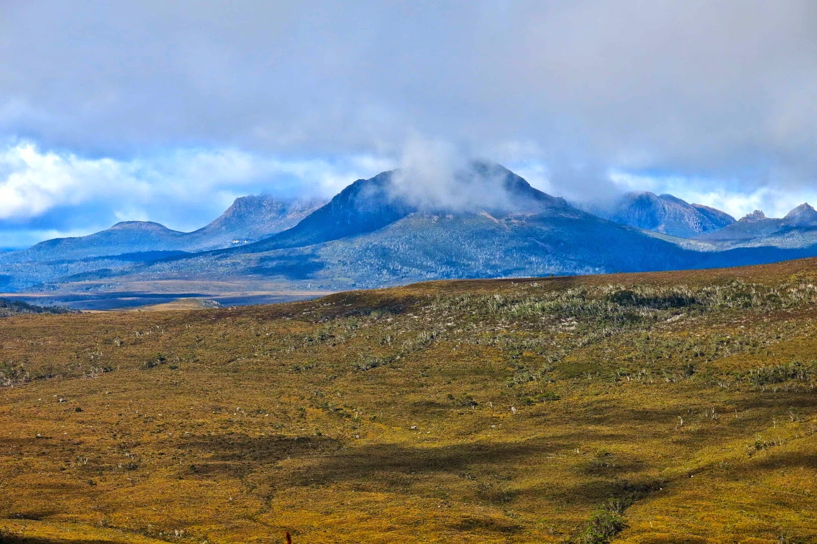
There she is at last: our mountain.
I must return when there’s a better forecast, as, even on a dull day with light sprinkle and smudged, detail-less mountains, it was magic. Just imagine what it could be if the sun shone and the mountains were well defined. I will be back!

Summit view

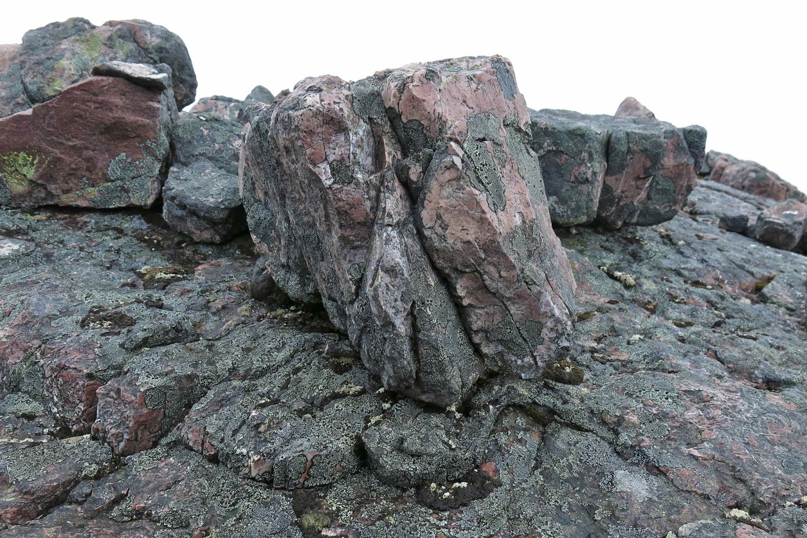
Beautiful quartzite on top


Scott 2014 May

Mt Scott, May 2014

Darling mycena interrupta were in abundance here.
I continue to marvel at the number of times I can be introduced to a mountain whose name I have never heard of, just because it’s on the peak baggers’ list. So it was this week, when I received an invitation from friends who wanted to climb Mt Scott. I had to search to find it on the map, but yes, of course I wanted to come to add to my peak collection and to experience a new mountain; my friends had all gained the point for this mountain long ago, so were more interested in picking wild berries than in summitting, but that suited me fine. It gave me the opportunity to summit using my own devices while they picked berries, and I very much like to do my own navigating. My work obligations could be accommodated into the expected timetable for the venture. We were off.
A huge old myrtle (nothofagus cunninghamii)
We drove along roads that (at the end stage) are on none of my maps, and parked the car in what appears to be (map-wise) in the middle of nowhere. Because of this, I’ve given very thorough instructions on how to drive there at the end.
Native pepperberry bush, Tasmannia lanceolata

At the start of the walk, there is actually a little wooden sign with pink ribbon. From the sign, you head off into wet forest thick with lush ferns of many varieties, but there is a taped pad the whole way – albeit one that is sometimes hard to find. We lost it on a few occasions, but it is there. You just need to be vigilant, and to backtrack to the last tape if they run out in some direction.

Tasmannia lanceolata covered in moss and lichen

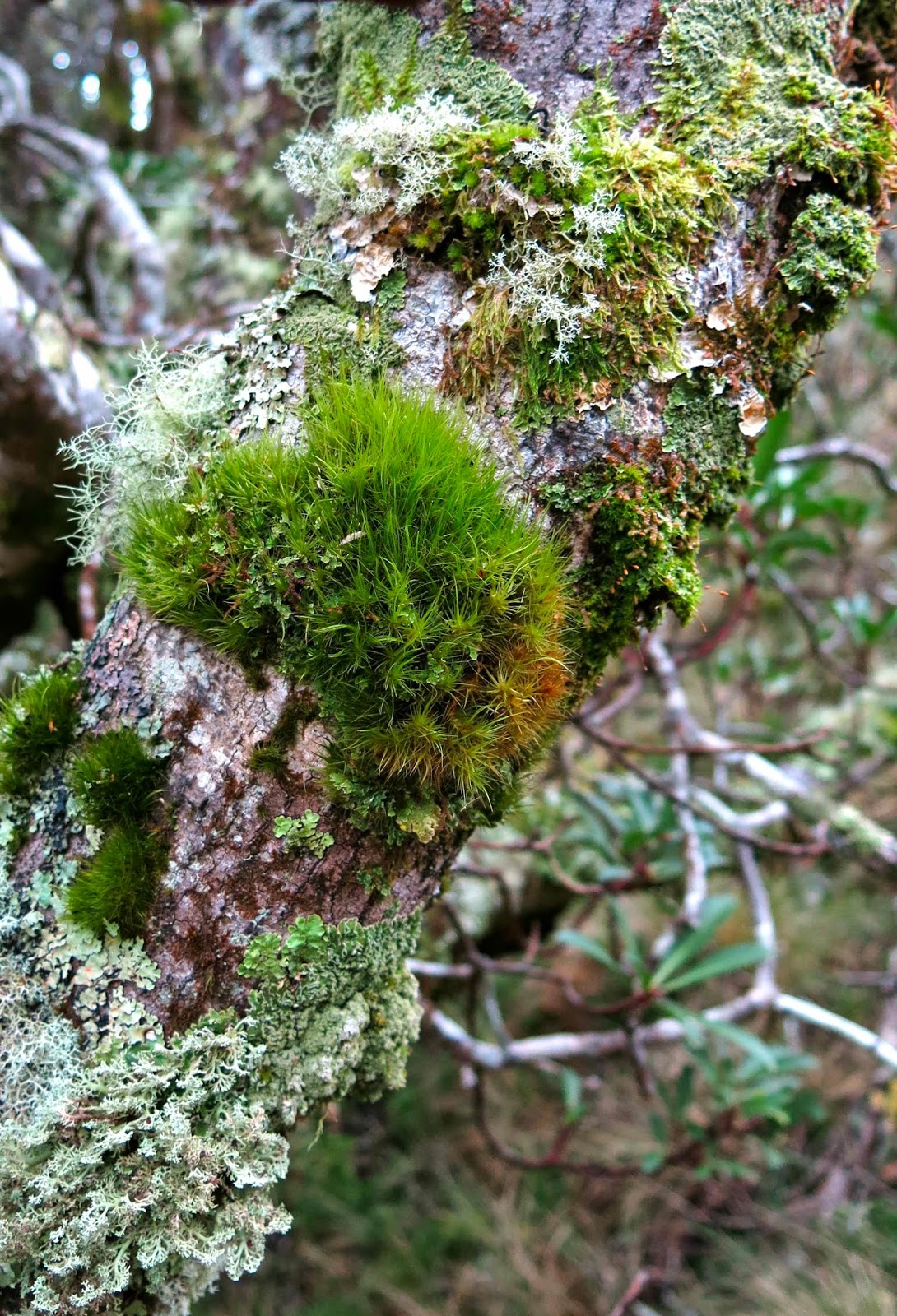
Somewhere around the 950 ms asl mark, the forest began to clear, and the vegetation became quite open. Some huge examples of ancient myrtles occurred in this more open section (nothofagus cunninghamii). This ceded to the next vegetation phase, a mass of wild native pepperberry bushes (Tasmannia lanceolata). I was entranced by the clumps of moss and thick coating lichen on each bush, endowing them with a sense of ancient mystery.
I gathered a few berries, but was more interested in seeing the summit, even though thick mist was going to prevent any view. David, who can’t eat berries, said that he wanted to get moving too, so the two of us set out along the logical route from there to the summit, chatting away whilst I kept us on the highest path between where we were and the top. We walked past a log book which is almost at the top of the very first rising, and I have heard it implied that that is the summit, but it is neither the summit on the map, nor the ground. It is nothing other than a visitors’ book and possible lookout point (I’d need to check that theory out in better weather). The summit (black spot on map) is at least 1.5 kms away. The highest point is actually on the knoll before that, but I wanted to touch the mapped and named summit.

Panellus longinquus Thanks Dr David Ratkowsky for helping with that one

Once the top, broad ridge line was reached (very shortly after the pepperberries and log book), we had over a kilometre of magnificent walking through almost park-like (non-taped, non-tracked) forest, which later became primarily comprised of thin-trunked melaleucas, pursuing the light. As I gazed at their tall, straight yet spindly trunks, I thought of Nietzsche’s question in his book,Will to Power (Der Wille zur Macht) where he asks: Why do trees fight to reach for the light? Is it for survival? No, he claims, it is because of a will to power (a will to dominate that goes beyond mere survival). These words have always fascinated me, partly, but not exclusively, because Nietzsche denies the idea of a soul, and yet implicitly attributes will to a tree.
We went over the rising that was not the official summit, but which my gps said was higher than the summit, down into a broad saddle, and up the other side, sadly leaving the forest for the final 100 ms or so to enter the first waist-high scrub for the day. It was very easily traversed, and there we were at the summit trig.

David, striding out in the parklike forest, discussing with me Einstein’s assumption that c was always constant. I like stimulating discussions on bushwalks.
There we ate half our lunch, waiting to see if the others were going to remain trapped by the spell of the berries, or whether they were going to join us on top. When they failed to appear, we set out back, but encountered them when beginning on the climb to the non-summit knoll in the forest. They were smug with their full containers of booty. We finished lunch together in the forested section as it was far more pleasant than the open, windy summit point, returned to the trig so they could touch it too, and then turned our venture into a circle by heading straight down the hill to intersect with the road far below and going along it to the car. This involved 17 minutes of road, with log trucks sometimes appearing. When I take my husband back there to show him, we’ll go out and back the same way, as that was the way of most beauty.
 
Entoloma sp
I arrived at work some minutes late to find my students deep in discussion about the budget that the government released the day before. They looked up and saw me in my boots and gaiters and outlandish walking gear (I had had no time to change) and smiled. I think they quite enjoy having a bizarre coach. They weren’t even fazed when I did a quick leech check on my calves while we went on with the next topic of discussion.
 
Below is a description of how to drive to Mt Scott.
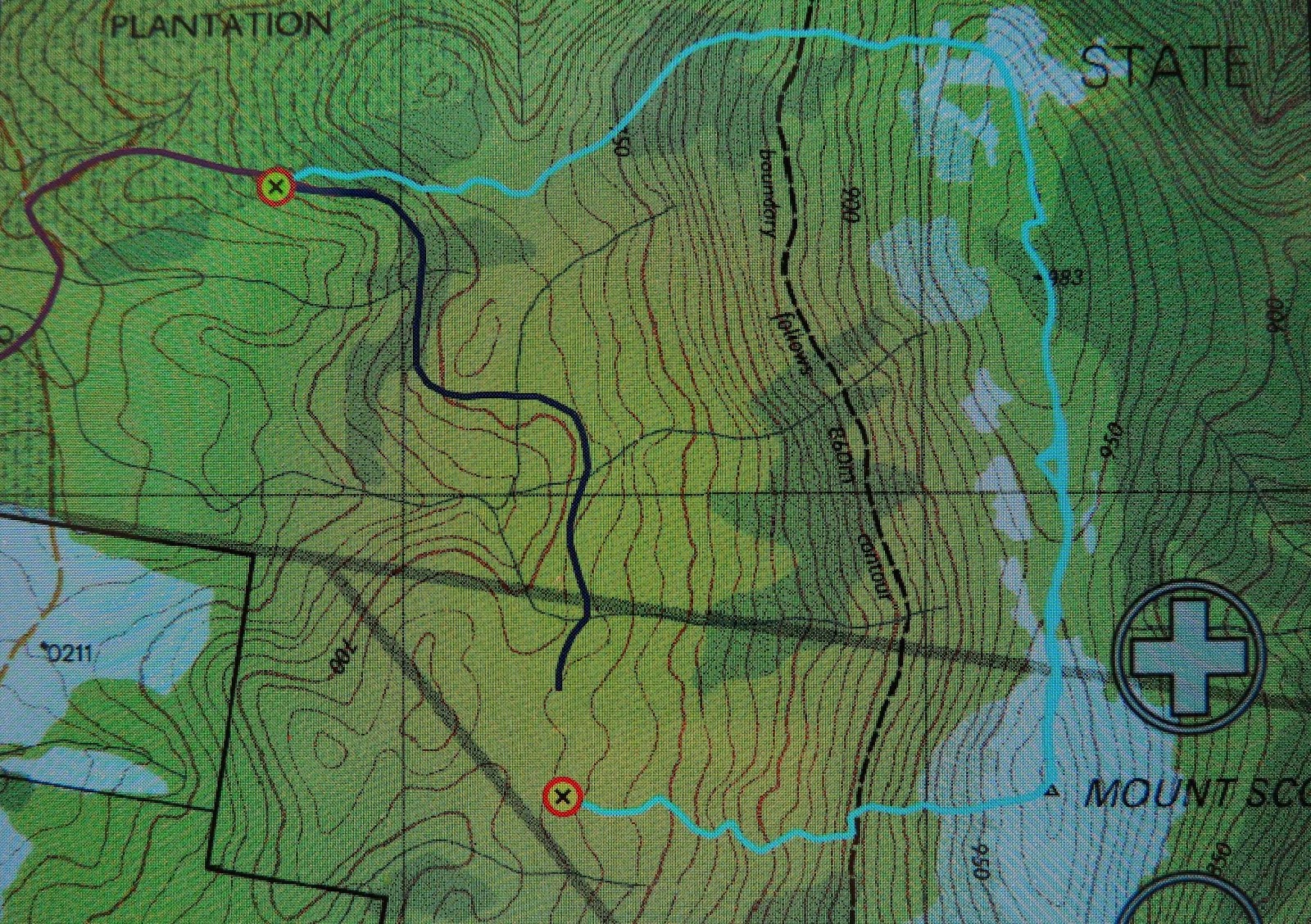
I am greatly indebted to my friends, not only for showing me a beautiful mountain, for for negotiating the oddities of Tasmaps that fail to show roads. I have scoured our whole map of Tasmania, as well as  1:100,000 maps – both the one on which Mt Scott lies (useless, as it is right on the edge) and the map next door (St Patricks). Not one of those maps makes the road journey to this mountain clear. According to my gps, we had parked in the middle of bushland rather than on a road. If you look at the map above, the waypoint to the NW is where we parked the car. Because the road was not on the map, I also tracked our route as we drove out in purple so I could try to figure it all out later. But first, I will also tell you that the waypoint that is lower and mid-image is where we hit a road (unmapped as well – of course?). The dark blue line heading north and then weaving is the unmapped road on which we walked to return to the car.
After a great deal of screen staring and other map poring, this is what I believe to be the directions of how to get there. From Launceston, drive to Targa, and take the Camden Hill Rd. Turn left on the Diddleum Rd and join East Diddleum Rd, as described in the Abels I volume for Mt Maurice.
This road crosses St Patricks River. Now you need to pay attention. You’re getting near. After the river, keep heading north, and turn right at the third opportunity, now heading eastish. After about 1.5 kms,  swing right. If you look at the image above, you will see the change in the purple line from north to right (east). If you look very hard, you will see an orange darker line continuing north. That is East Diddleum Rd which you no longer want. After about 200 ms you can also see if you look above there is another road heading north which you also don’t want. You’re now very near. About 200 ms past this point you will (if you’re lucky) notice a small wooden sign that points to Mt Scott that has pink ribbon tied to it. If you miss it (we did) you’ll reach the remnants of a boom gate. Turn around and retrace steps for about 150 or so metres. The sign heads off on the northern side of the road. There are, of course, lots of other logging tracks – newly made pseudo-roads – to confuse. That’s my best shot at guiding you in. Good luck. It’s worth it.

Inglis 2014 May

Mt Inglis. 6 May 2014

This is where I feel the start of the route to Mt Inglis begins – at the rocky part of Barn Bluff, where you first leave the track up to the Bluff, and start contouring around its belly instead.
Summit day for Mt Inglis delivered thick mist, but no rain, so off the seven of us set, some with more enthusiasm than others on what promised to be a very demanding day, and one that would be more of an endurance test than a pleasure if it began to rain again. Group momentum prevailed. I think I heard Rupert later report that his gps data indicated that we covered 23 kilometres with 1200 metres total climb – giving us a 35 ‘kilometre equivalent’ day. It was certainly a long one, beginning at 8.10 a.m. and finishing at 5 p.m. (later for some; I rushed the last bit to get out of the icy wind on the Cirque – and because I felt like a stride-out after all that goose-stepping).

The first (and last on the rebound) part of the route is on the track, firstly up to the Cirque and then part way up Barn Bluff until one hits the rocky face, when it’s time to contour, either on the rocks or a bit lower in the scrub. We began on the rocks, and everyone was following me on my route, so I stayed there until the rocks finished, and a scrubby spur led down to another cirque. The others voted for the scrub on the return journey, however. It actually took a fraction (just a couple of minutes) longer, but they preferred it to the slip factor of rock rubble covered in slime that was growing moist again, and were very happy with their choice. In the mist, we could see little, and I hadn’t had a good look at the map. I was silly enough to think that the next thing we climbed was Inglis. Ha ha. There was still a very long way to go and we were not yet half way there. We had been underway (not counting morning tea and waiting breaks) one and a half hours at this stage.

Pelion West dominates this particular view. Achilles lies to the far right.

Ahead of us lay not only our hill, but also a large moor area that looked fine from above, albeit rather expansive in its proportions, but which was a bit tiring in reality, as it required high lifting of the legs. The others were moving well, and when I stopped to fill my husband’s drinking bottle for him and then carry two packs, it took me at least ten minutes to catch them. I was sweating when I at last joined onto the tail end, just as we all began to negotiate the next patch of over-headhigh scrub that offered stirling resistance to our best efforts. Relief came when we happened on a beautiful patch of myrtle forest that was not only delightfully green but also open enough to allow easy passage.

Fury Gorge and the backside of Barn Bluff and Cradle as seen from the summit.

Up until this point in time, Mt Inglis had kept running away from us, and remained a matter of faith based on a belief in map accuracy. At last as we emerged from the myrtles onto an open table top, we could see the summit, although we were now too close to see the overall shape of our beasty. I never did see it as a whole mountain.

The group strides out; no loitering on this day!

Our turn-around time was now a mere 45 minutes away. Not seeing the height of the scrub that lay ahead and thinking the green was nice ankle-high alpine vegetation, I guessed at 20 minutes to the top from there. Another fast walker reckoned 30. Either way, we could do it if we hurried. Off we set as quickly as we could so as not to be timed out of our mountain. Neither of us was quite correct in our guesswork, but four of us were on the top in 24 minutes, and everyone was at the top before we all turned into pumpkins. We even got time to sit up there and photograph, survey the view and appreciate the sense that we had the whole world laid out before us while we took a rather hurried lunch break. The mist even obligingly cleared. It was truly beautiful up there, and, due to the vast stretches of low moorland separating us from the other mountains of our purview, it seemed as if we could see forever.

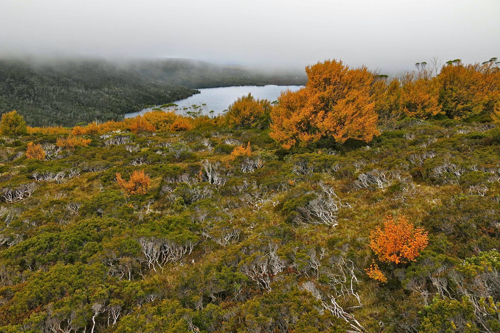
Looking down on Lake Will from the Fury Cirque on the rebound.

Again on the descent, everyone worked hard and well, and we made the rocky section below Barn Bluff in good time considering the terrain. It was getting dark quickly, so it seemed much later than it was, but the darkness rising was in fact due to the louring mist rather than the lateness of the day. Despite the freezing conditions, I think all of us were sweating from the toil. The wind was really beginning to rip up a frenzy and the temperature was dropping, but we also knew we were on target to be back before night fell. The wind was so strong as we hit the final tracked section that I started to get a headache, so dashed ahead to get myself out of it (with permission). As I cleaned my teeth by the tank after dinner, light sleet was falling: white drifting sago against the blackness of the night.

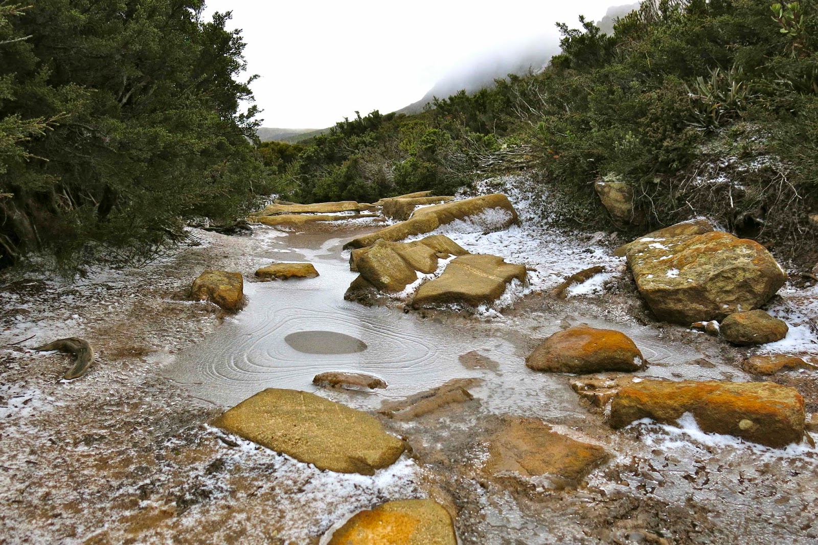
Icy path on the final day.
The underside of Hygrocybe schistophila

Next morning, the first words I heard were: “Be careful going to the toilet that you don’t slip on the snow.” That got me out of my warm sleeping bag; I wanted to see the sight of Waterfall Valley with a light dusting of icing sugar. Beautiful.

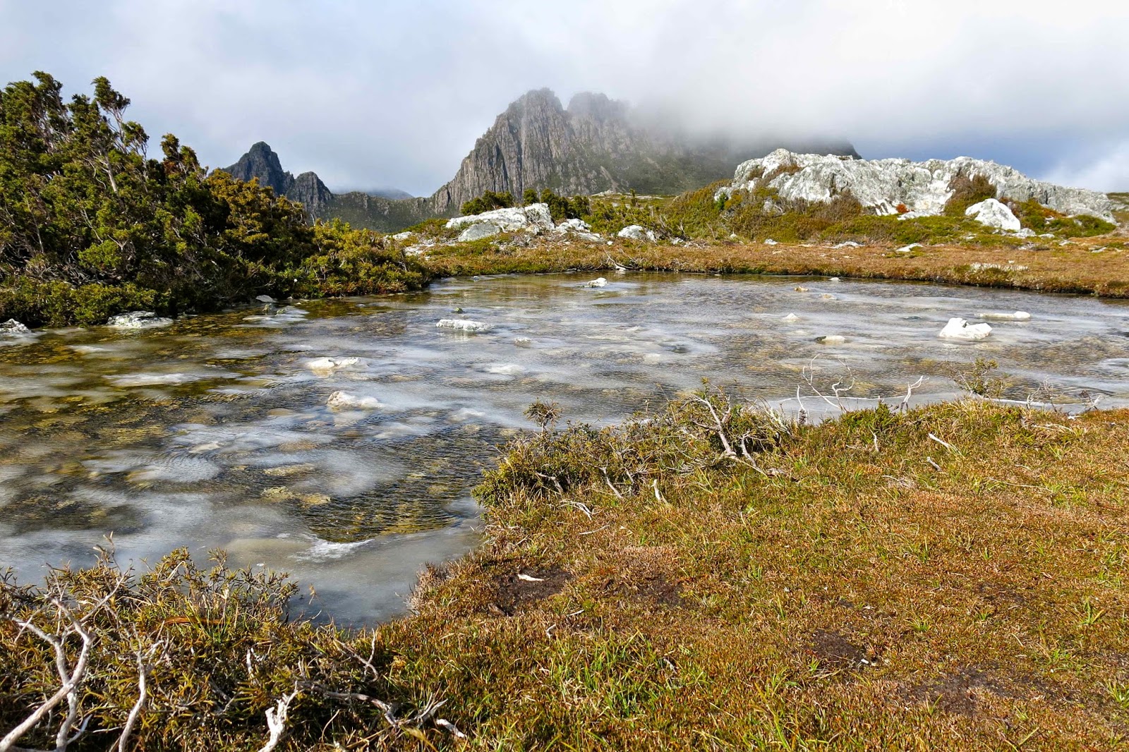
Ice floats on Kathleen’s Pool
I was lucky enough to go up the track first and thus got to follow the pristine line of white ice and snow crystals as I walked and photographed. I was amazed at how many animals make use of the Overland Track boardwalk! The only indentations offsetting the neat white grains were the quaint paw prints of quolls, wombats and wallabies. Fungi and fagus provided colour. What a great trip.

Emmett 2014 May

Mt Emmett

We had not set out intending to climb Mt Emmett on this trip: instead, Mts Inglis and Proteus were on our agenda. However, the dismal weather forecast had us altering our plans. The worst day was to be our second one, so it was decided that we’d only go as far as Scott-Kilvert hut, behind Cradle Mountain, on the first day (instead of to the tarn on the moorland past the belly of Barn Bluff), and see just how much rain was going to fall thereafter before we finalised Plan B.

Approaching Hanson’s Peak, day 1

Day two was as bad as predicted, so the new plan was to climb Mt Emmett on this day, and then move to a better location for attacking Inglis the next one. 

 
En route, day 1

To the average person, Mt Emmett is not a name that means a lot. If you get out the appropriate map, you’ll find it sitting beside Cradle Mountain, minding its own business, looking nice and harmless as a bunch of smooth brown elliptical lines. When seen from the Cirque between Cradle and Waterfall Valley hut, it looks like a nicely rounded and gentle scree slope, much like many of the English Fells that you can dash up at a run. Before I knew better, I had once planned on sleeping on the top. 

A beautiful autumn bonsai Fagus plant on Hanson’s Peak

 Cradle from Hanson’s Peak
Unfortunately, the reality of this cozening deluder is that this is a mountain of angular boulder rubble, which could have been part of some story of angry gods throwing fridge-sized stone missiles at enemies and then cursing them so that they became covered in slimy black moss to destroy any approach efforts of hapless humans.

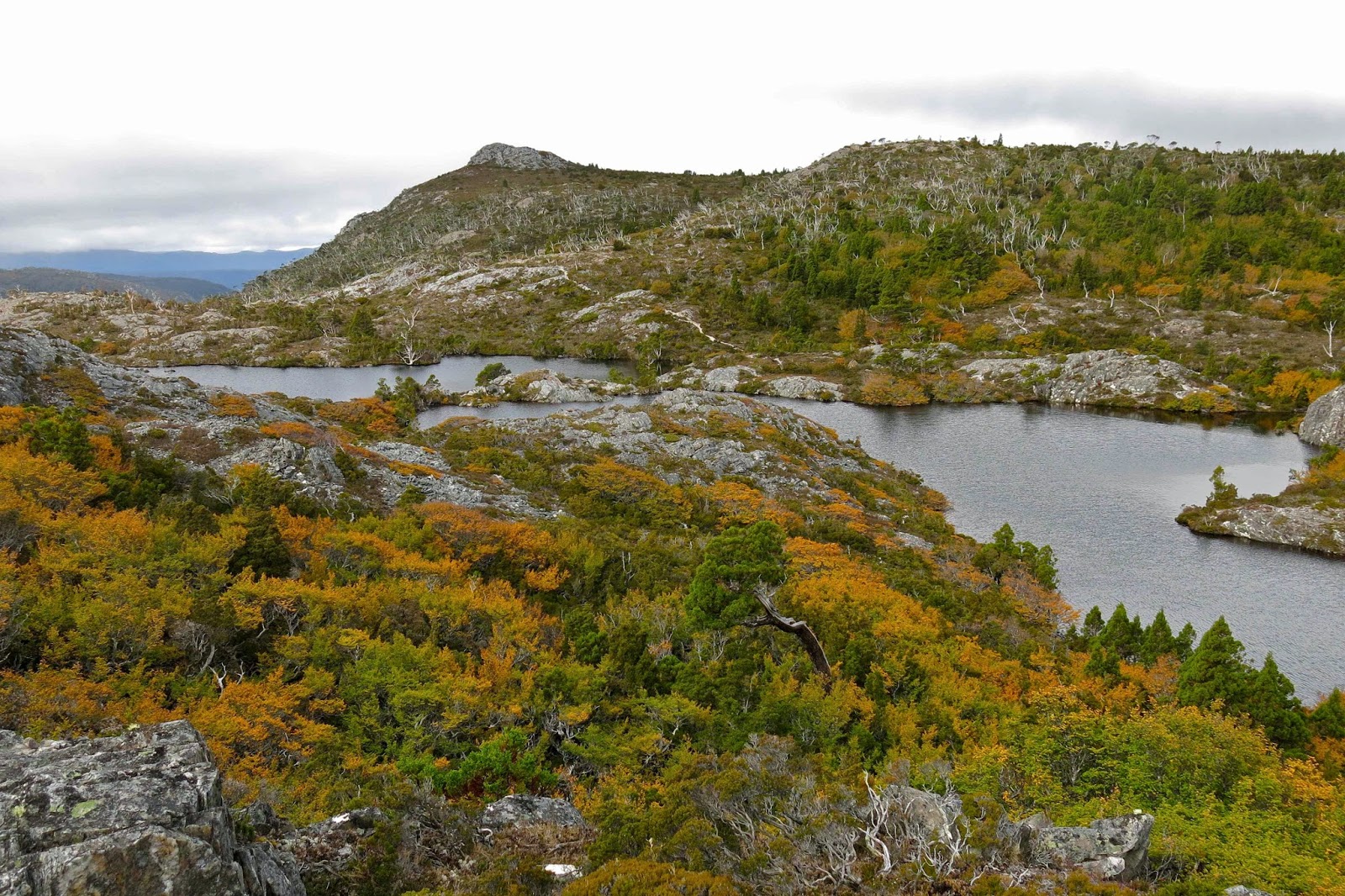
Twisted Lakes in autumn glory

We had already had one failed attempt on this mountain, admittedly due to snow (see my other Emmett entry: http://www.natureloverswalks.com/mt-emmett/ ) and I had not entertained the notion of taking my husband with Parkinson’s disease back there. My plan was to do it in summer on a nice dry day (without him), probably solo as this is not a popular mountain that anyone I know volunteers to do twice. However, the group was doing it in the rain, and my husband said he could do it too. Should a wife tell her husband he’s mistaken and make him stay behind for his own safety and the good of the group? (He laughed and said “Yes” when I read him that sentence.) “Not this time; not yet,” was the equivocating conclusion I came to after long reflection during the night as I listened to the insistent rain.


The moist mist swirled around as we left the hut the next day. We had elected to camp the previous night rather than stay in the hut, so were lugging a wet tent up the slope, but we love our tent, so that’s OK. I stayed at the back of the train, observing my husband’s progress, trying to read from his movement whether I should exercise some power of veto here. I was genuinely worried about this mountain – but again I let him have the call, not wanting to cramp his style with my own anxieties for his safety. 

Laccaria sp near our tent

Even highly competent and experienced walkers find Emmett with a water film over the slime to be a challenge (see rockmonkey’s blog) but we nonetheless set out over the slippery rocks that presented a line rather than a flat plane as their uppermost surface. I hoped that if Bruce ran into trouble, it would be in the first hundred metres to enable an easy exit. He seemed to be coping as well as some of the others in the group, and as he often goes much better if I’m not there as a backstop, I went on ahead, having fun crabbing my way on all fours across the slippery obstacle course, whilst checking behind at regular intervals to make sure he was coming, though the thick mist meant that, at best, I could see people who could see people who could report that he was progressing steadily.

Deceptive Mt Emmett from the Cradle Cirque next day

There were no commanding views to be had in the fog that day, but the best view for me was that of my husband approaching the summit of what I thought was his most challenging mountain yet. Bravo B. It snowed lightly (sleet really) before we began our descent. The weather was so bad I had not even bothered to bring my camera to the top; I have plenty enough photos of people in a grey, obnubilating veil labelled as this or that peak. 

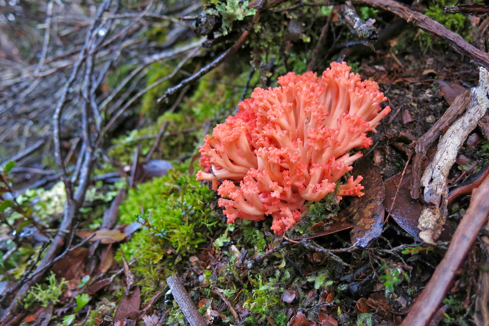
Ramaria ochraceosalmonicolor beside the track

The trip down was as careful as the ascent had been and we all got there uninjured, picked up the heavy packs that we’d deposited in the Cradle-Emmett saddle, and made our way further on to Waterfall Valley hut where we could attempt to dry out our sodden gear before the next day’s demanding adventure (see natureloverswalks.com/mt-inglis/).

Fungi fest Lake St Clair 2014 Apr

Fungi fest at Lake St Clair Apr 2014.

Who can resist the flame red of aurantiporus pulcherrimus, seen here by the shores of Lake St Clair?
It was snowing lightly on the central highlands as we drove towards our destination, our plan being to sleep on top of the glorious Mt Olympus.  But this was not a peak bagging bushwalk: we wanted to see the view.

Cortinarius archeri
“Are we going up if it’s like this?” asks my husband, his voice not full of joy and hope.
“Let’s just wait and see. There’s still a half hour’s drive left,” I say by way of prevaricating.
We arrived. The mist swirled around us, but the snow had ceased. I went into the information office to check on the latest forecast and saw doom and gloom for the next five days. We even discussed giving up and going to Hobart, but both agreed that, having driven here, we would set out and see how the day progressed. What eventuated was a fungi fest. I had taken seven photos before the little nature trail sign number two had appeared. Hm. This was going to be a slow trip, but we were no longer in any kind of hurry, so why not linger longer and enjoy these colourful marvels, these hints of magic lands and fairies?

Entoloma sp I suspect. I couldn’t see underneath, and didn’t happen to bring a mirror.
The score at the end of the day was over a hundred photos of fungi, and not a single leech bite, which is amazing if you consider that in order to take most of my photos, I lie in the mud, or at the very least, go down on my elbows and knees, paying homage to nature’s little miracle workers, noble housekeepers of the forest who facilitate the growth of the trees I love.

Dermocybe canaria
The photos I have chosen are ones that I hope act as visual-poetic images, a single moment intended to connote a much wider field of magnificence, a whole world of forest green and elemental wonder that fills me with joy. The larger field of forest context is there, but blurred usually, just a hint of the rich world that is the kingdom of the fungus, but also enabled by it.

Entoloma rodwayi
I had assumed that my association of fungi with primeval charm had been taught to me via connections of pictures of fungi with fairies in woods, and then via Tolkien, or Shakespeare’s comedy characters retreating to wonderful woodlands for their happy endings, by Faery Queens or Merlin’s wood (although I love the lot). However, last year I took my one-year-old grandson fungi hunting, and he knows none of these stories, and yet he warmed the hearts of many who watched him by delighting in the tiny forms, calling me with unabated glee each time he found a new species (for him, colour or type).

Hygrocybe firma
Fungi are essential to the life of forests as we know them. Without saprophytic fungi (or decomposers who live off dead or decaying matter), our forests would be unmanageable piles of non-decomposed logs and unbroken-down leaves, cluttering up the space needed for new trees. As it is, thanks to the work of these agents, the trapped carbon in lignin and cellulose (made when the plant was photosynthesising) can be returned to the soil for recycled use by the next forest dwellers. Because of this, I walked through the forest enjoying the debris of mossy logs and fallen branches and leaves from the sassafras, leatherwoods, King Billy Pines and myrtles, not for one moment wishing it were manicured or “tidied up”, as this very debris is the heart of the recycling process that is necessary for the forest’s health. In the book Wildwood, Roger Deakin bemoans the fact that in England many “wood-feeders” have been rendered locally extinct by being literally tidied out of existence (136).

Hygrocybe lewelliniae

The other most helpful fungi are called mycorrhyzal fungi. These ones form associations with the trees’ roots – in which case they do a deal with the plant, making use of the sugars that the plant has made, whilst returning the favour by increasing the plant’s absorption of water and minerals. These fungi have also been found to be beneficial in aiding some plants’ resistance to certain diseases, and in helping plants to overcome poor or contaminated soils. Whilst the saprophytic fungi might be called the housekeepers of the forest, these (mycorrhyzal) ones might perhaps be called the chefs, nurses and doctors. Whichever the type I am looking at while I walk, I don’t see them without also taking into account their essential role, even if I don’t put it into words at that moment. Knowing it is like being told the wonderful ingredients of the meal you’re about to eat in a restaurant: it makes it all the more delicious.

This account of the benefits of fungi has entirely omitted the other reason that I love them, which is because they are supremely beautiful – that is, the ones I love are. The ones that enthral me most are the tiny, ethereal ones, with fairy caps and stipes as narrow as a spider’s web – the ones that connote enchanted woods and a world of limitless beauty, or the ones that are so viscous they almost glow.

Lake St Clair, the backdrop to this fungi fest

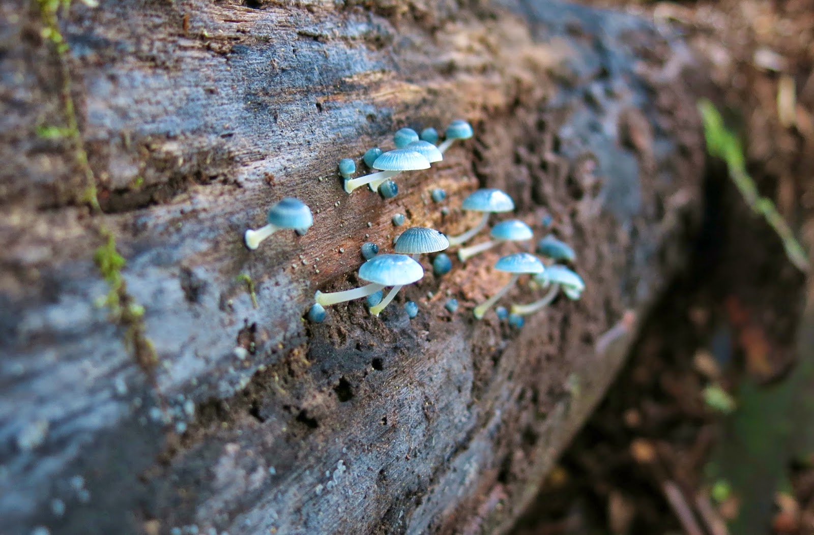
Mycena interrupta – that one’s a give away. The web informs me it’s known as the pixie’s parasol. It seems that association of fungi with the little people of the forest crosses all national boundaries.
So, on we went fungi hunting and photographing until we reached Echo Point Hut, where we dumped our packs with the tent and food for an excursion that was no longer taking place, and went on further, doing a recce up the slopes of Mt Olympus for the next time that we would be there to do the climb properly. It was lovely to spend time at this hut right by the water, set in forest that is so lush, with the sound of running water ever present. Nice just to be, and not to be passing through for once.

A waterfall we found whilst wandering around the untracked slopes on the flanks of Olympus
Note American readers: I hear many Americans calling fungi “mushrooms”, but in Australia this appellation is usually reserved for, say, the champignons (Agaricus bisporus) that go in Beef Stroganoff, so to call a poisonous fungus a mushroom could be quite dangerous in the wrong context. Besides, fungus is the scientific name for what we’re talking about, and so removes all ambiguity.