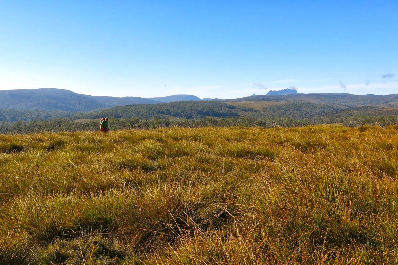
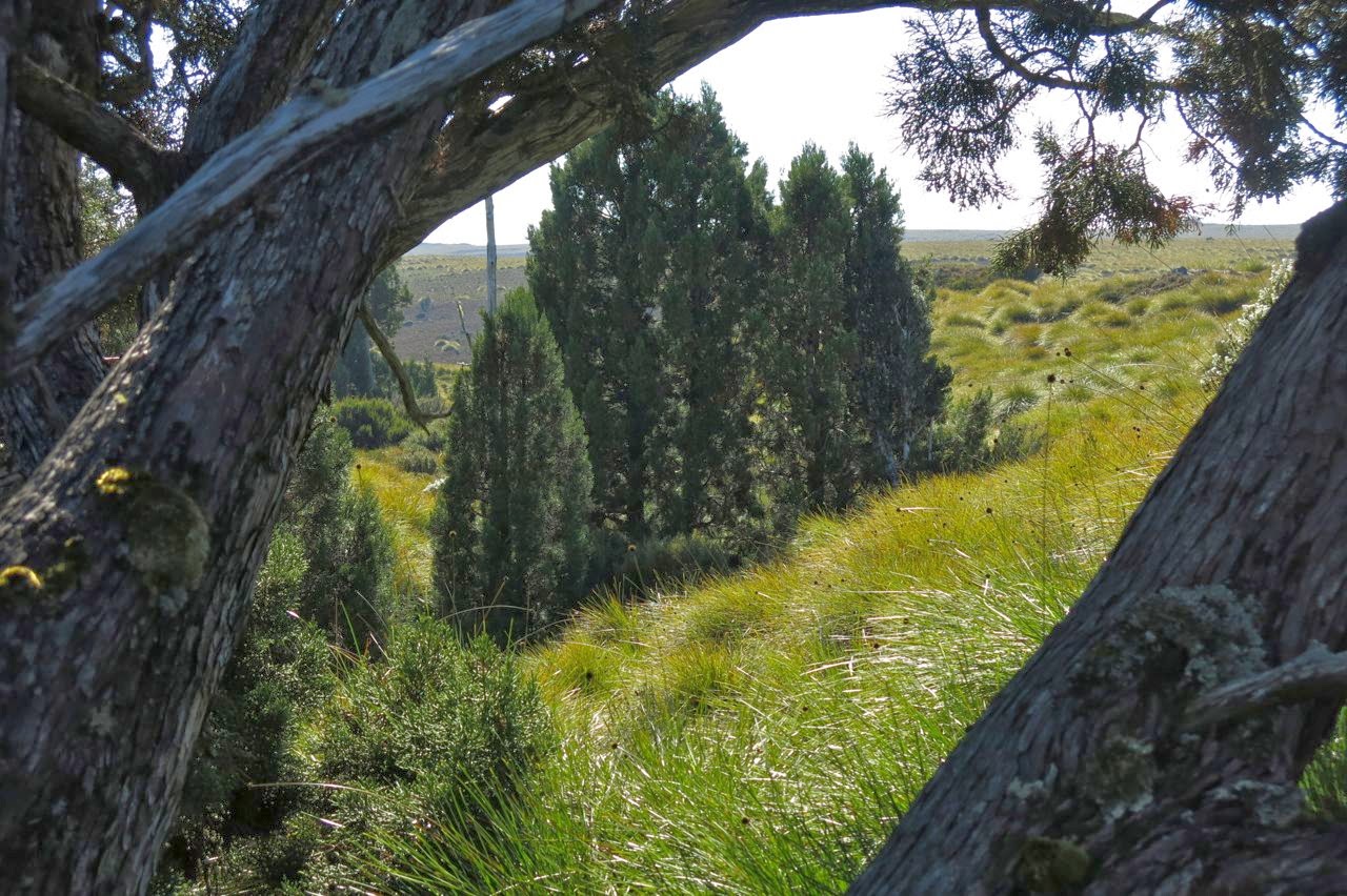
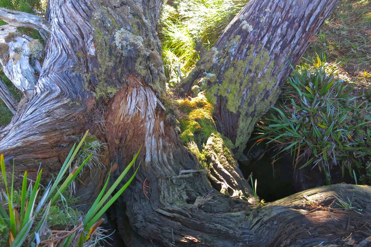
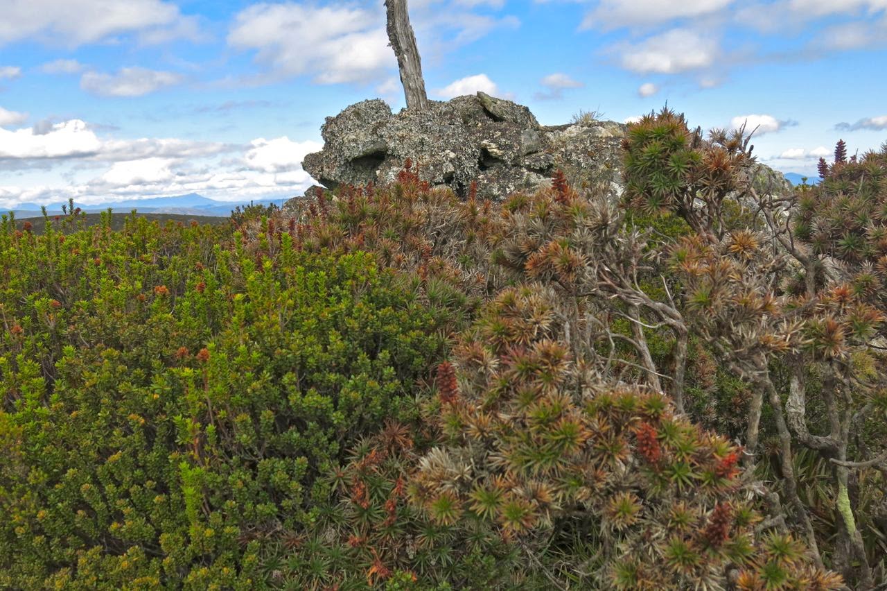
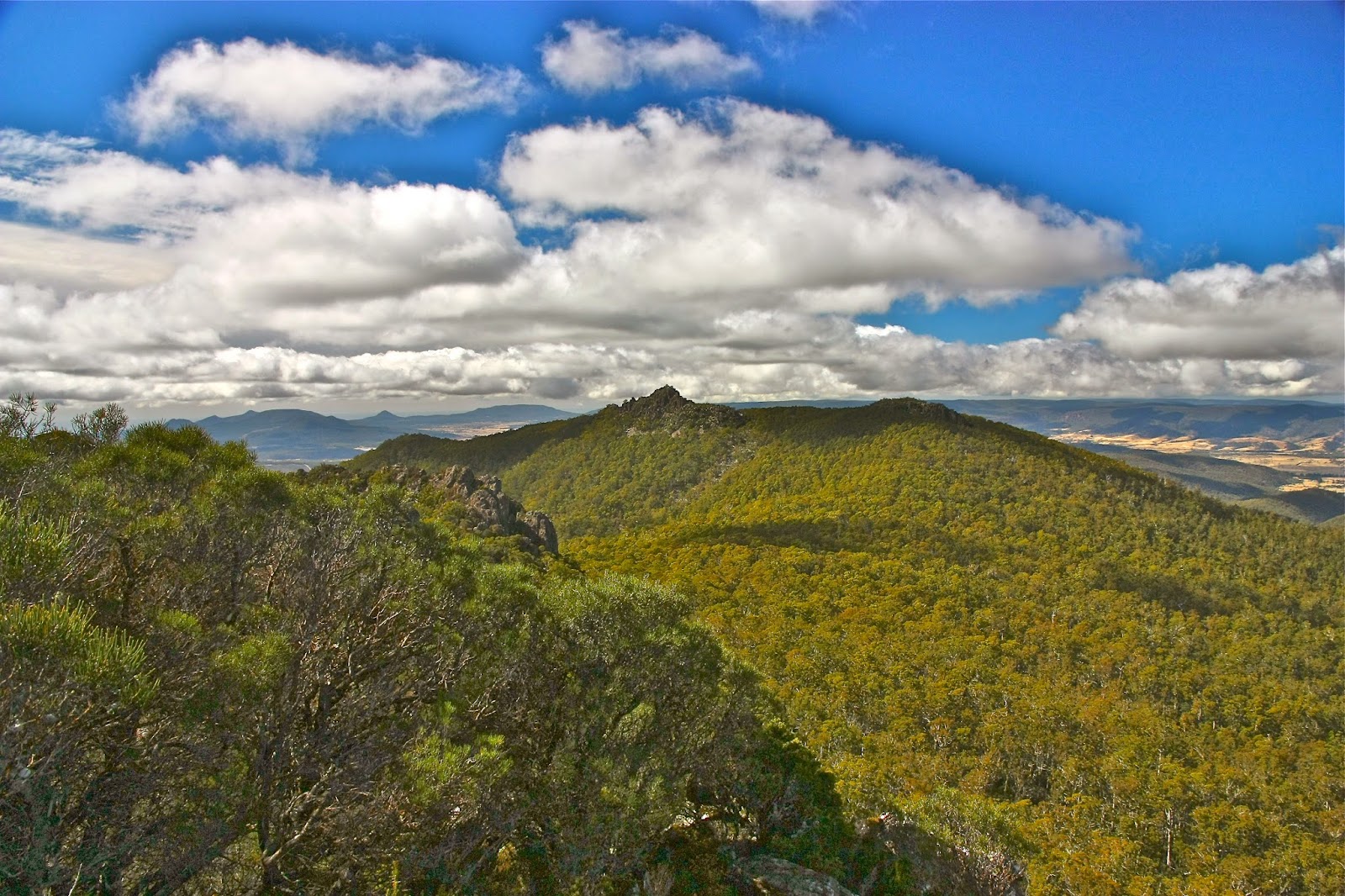
Minnow Falls 2014 April

Minnow Falls April 2014.

Some time ago, I used to watch a TV show with my daughters called It’s a Knockout, in which the contestants had to race up rope ladders, negotiate tricky objects, and slither through tunnels. I always wanted to have a go, thinking it looked like great fun.
This week at Minnow Falls, I got to do a similar obstacle course, only in the lush green of natural rainforest rather than the sterile environment of a TV studio. And it was, as I knew it would be, enormous fun.
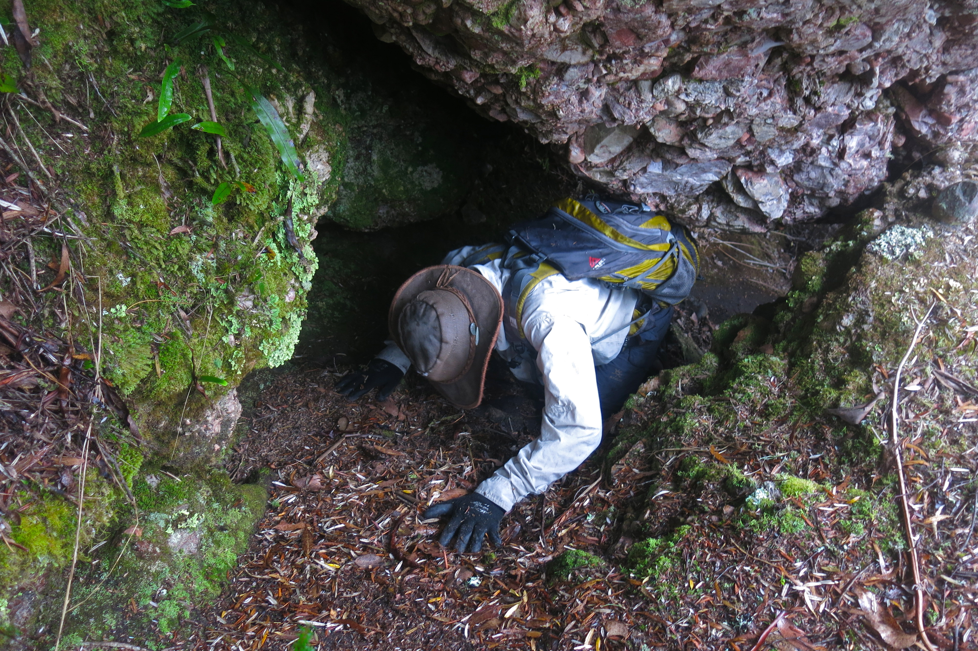

Rod emerging from a small cave
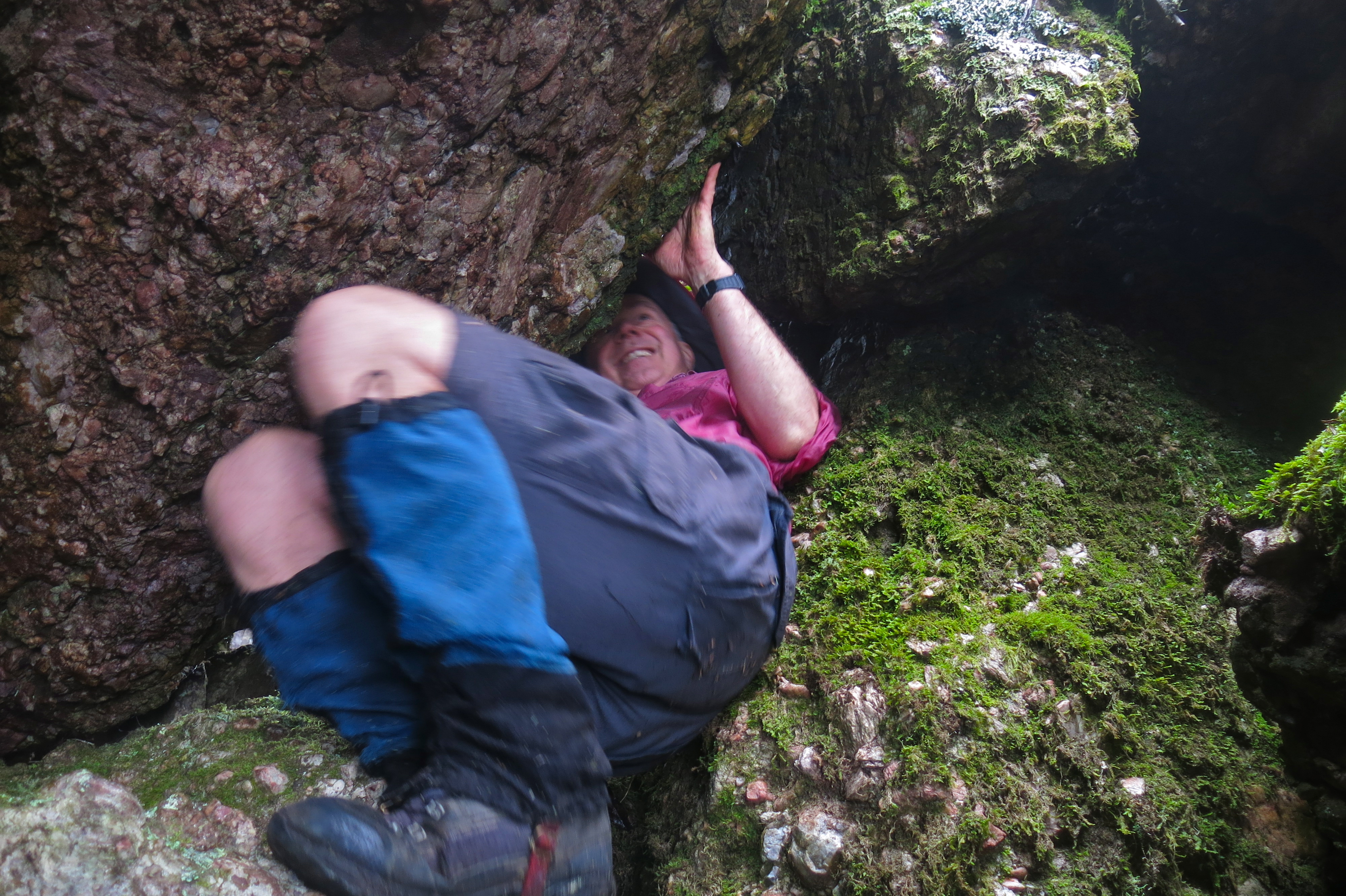

Phil squeezing himself up through a hole in the rocks. This was not a trail for the overweight.
The location of this natural amusement-park – Minnow Falls – is beyond Mole Creek (see end for more detail). There was formerly a track up to the falls and back, but thanks to Bill Shepherd, this has been extended to become a complete circuit, in which, after an initial climb on an old road cum track, one heads into the bush following Bill’s (mostly) pink markers, ever climbing.
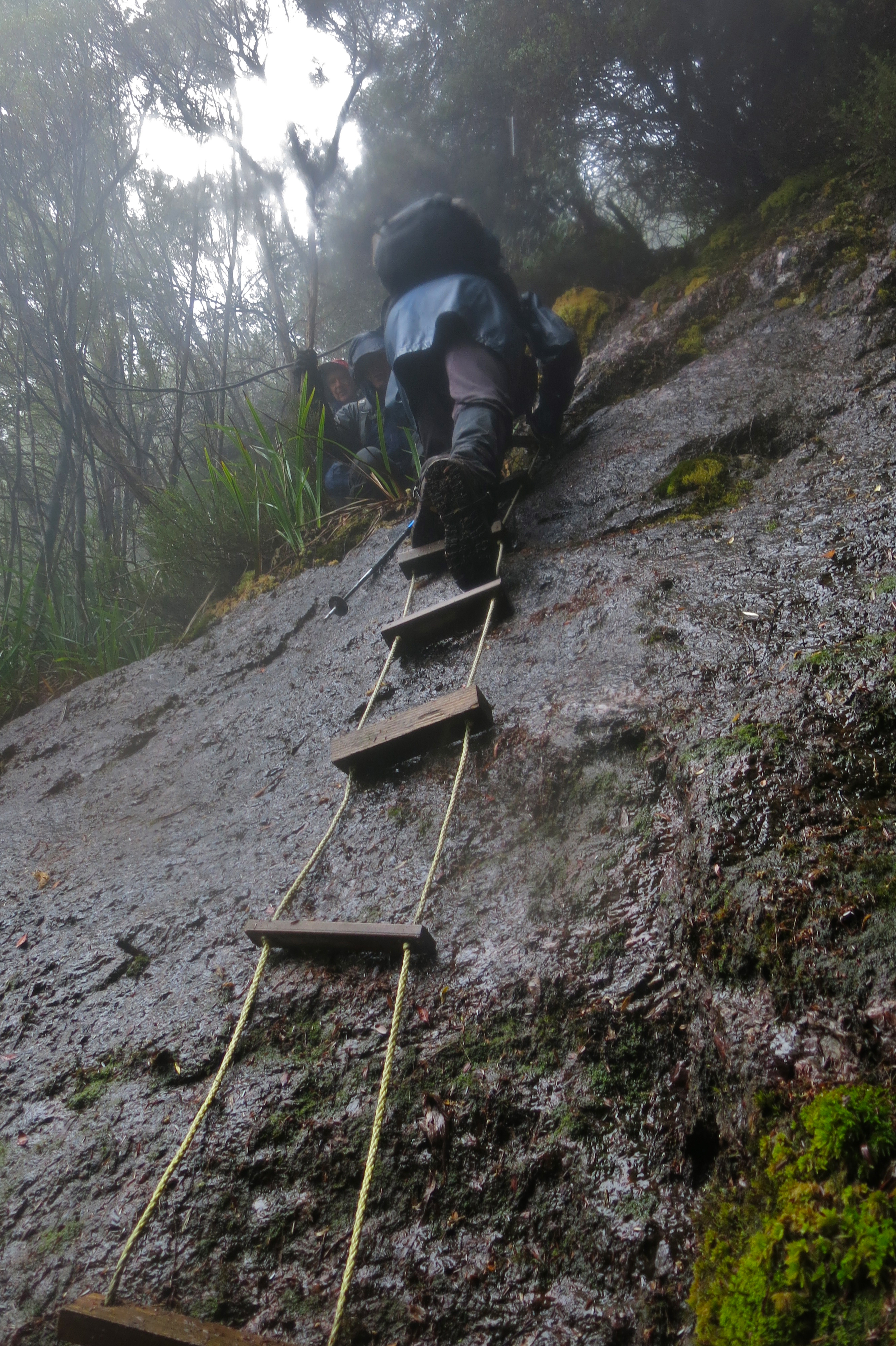

David descends one of the rope ladders
The TASTrack comments about the old route seem appropriate at this stage: “This steep, rough-cut track climbs the eastern side of Mt Roland, [gaining] 545 ms in 3.5 kms.” In fact, our route climbed even more: 600ms according to my gps.
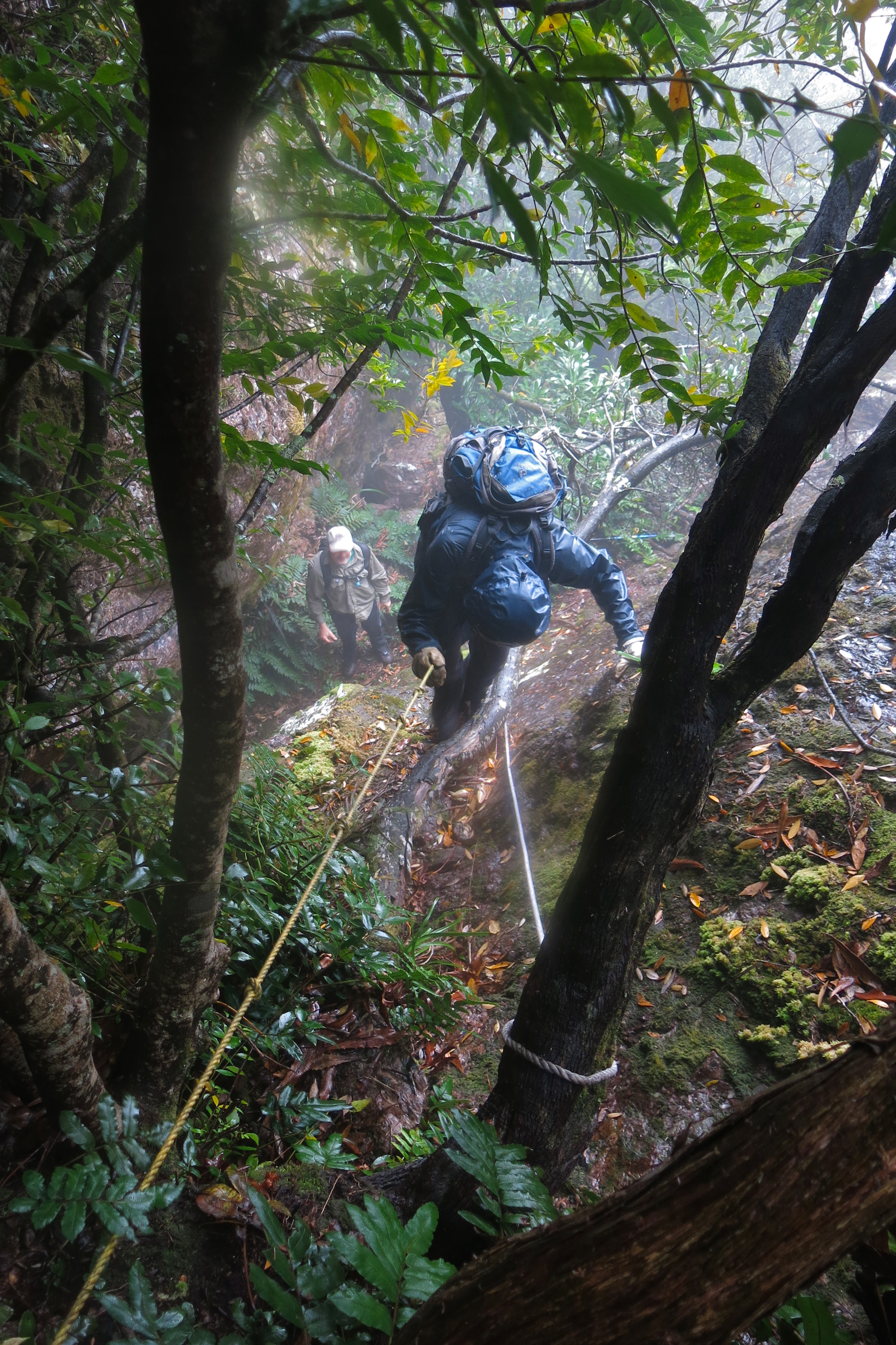

Descending a roped section
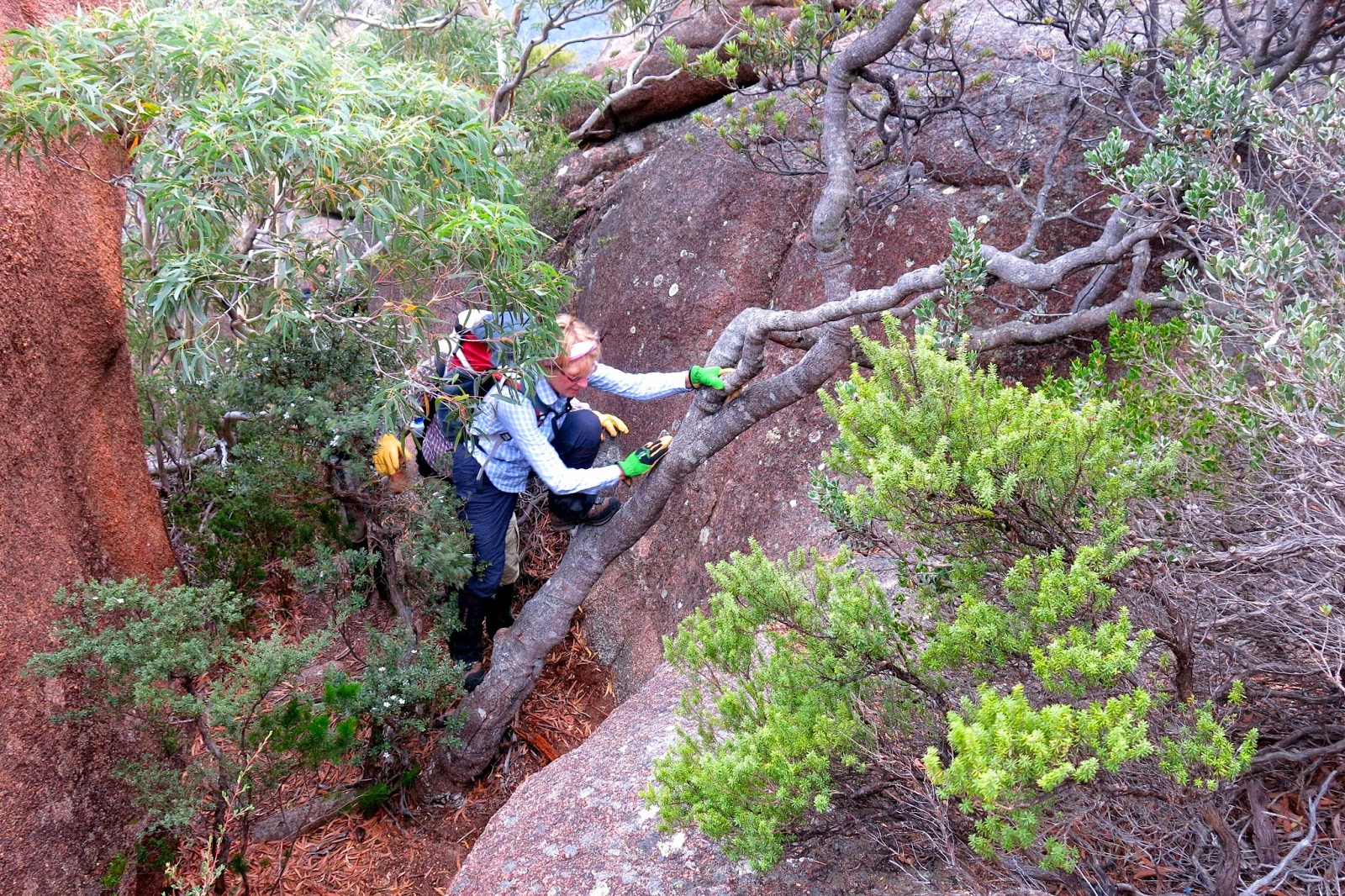
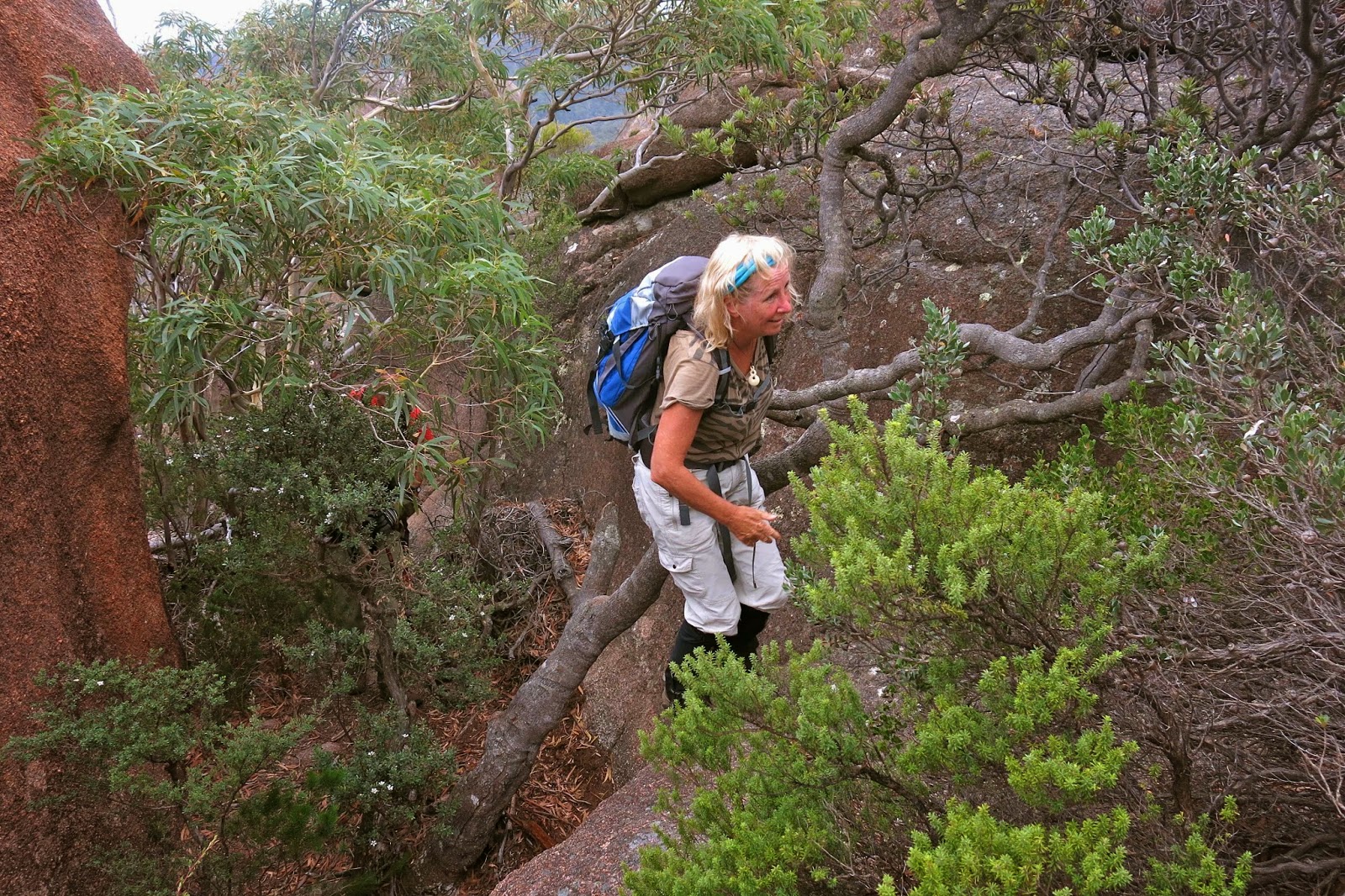
At times our noses nearly touched the slope we were ascending. It was a great all-body work out, as arms and hands pulled on trees to haul ourselves upwards, or as we oomphed our way up rock ledges, pulling on tiny handholds to gain the next bit of height. Occasionally we found metal ladders, or rope for hauling on to avoid sliding backwards when there were no footholds possible. Sometimes we had to squeeze through narrow holes between huge boulders, or proceed along caves and rock tunnels.
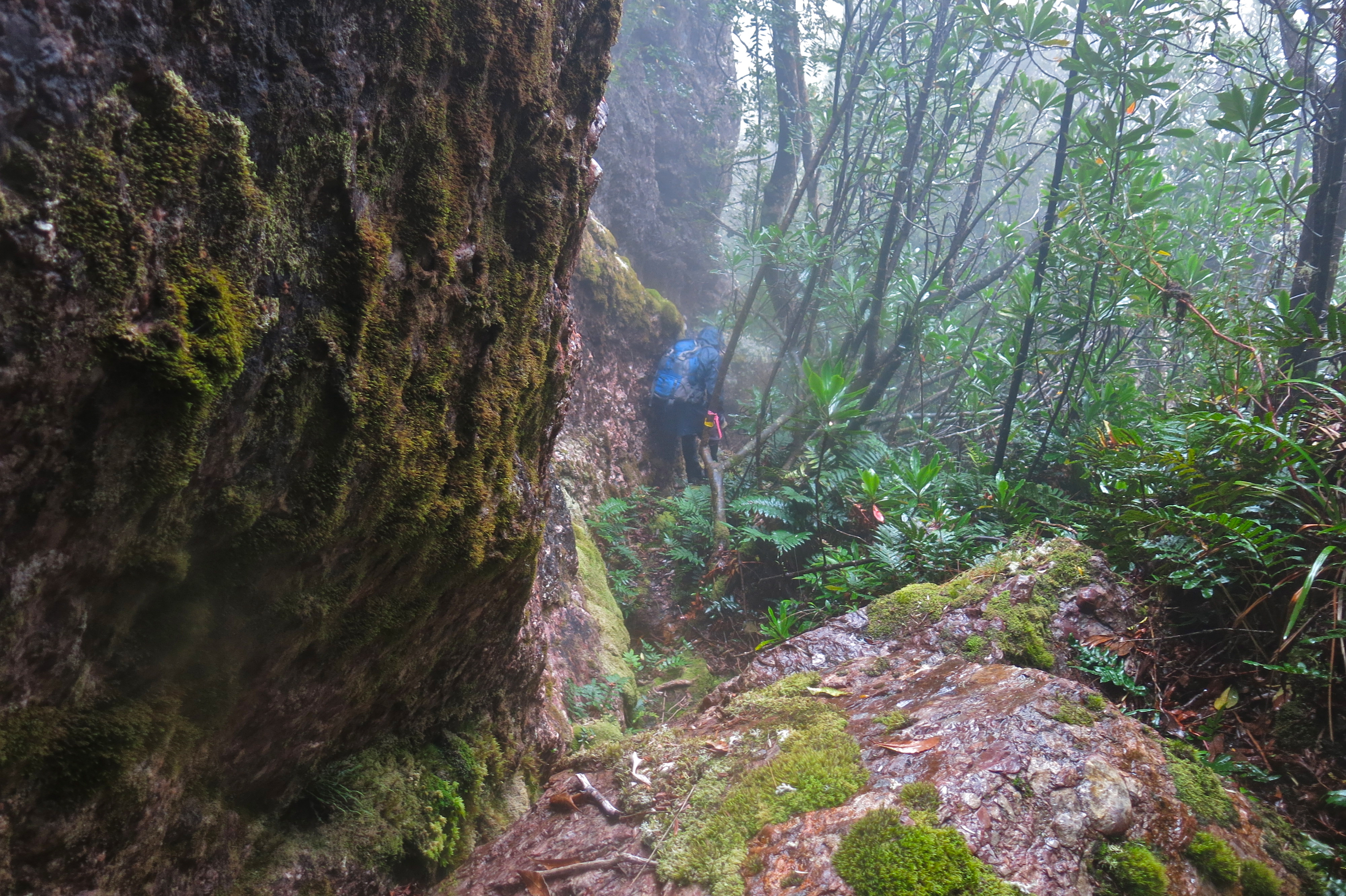

On the way back down, there were a couple of rope ladders hanging from trees to keep us alive as we descended slimy rock slabs. I had a ball. In order to hoist ourselves upwards or to stay high between two walls of rock, we had to push our packs up first so we could wedge our backs against the rocks for pressure.
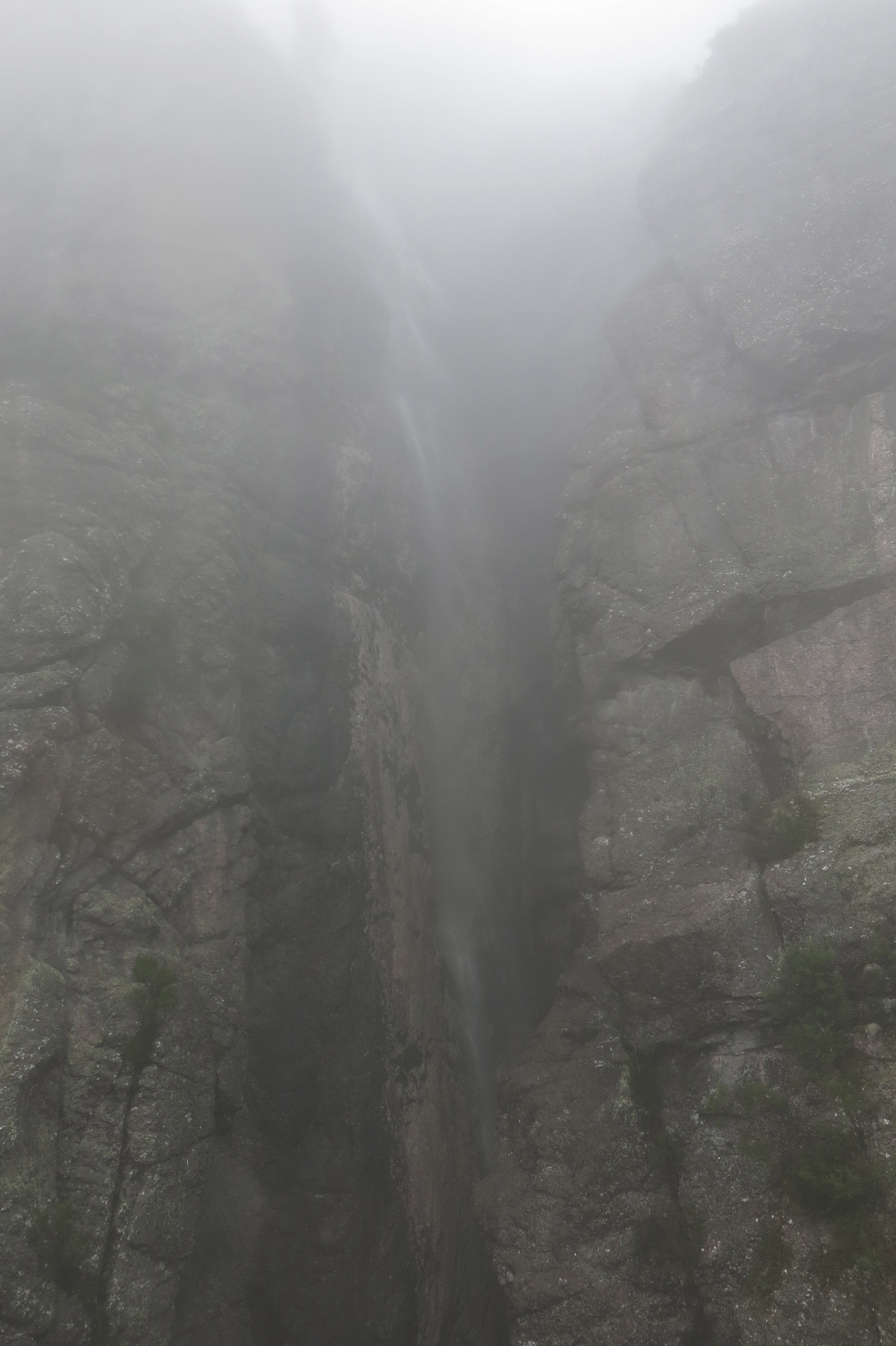

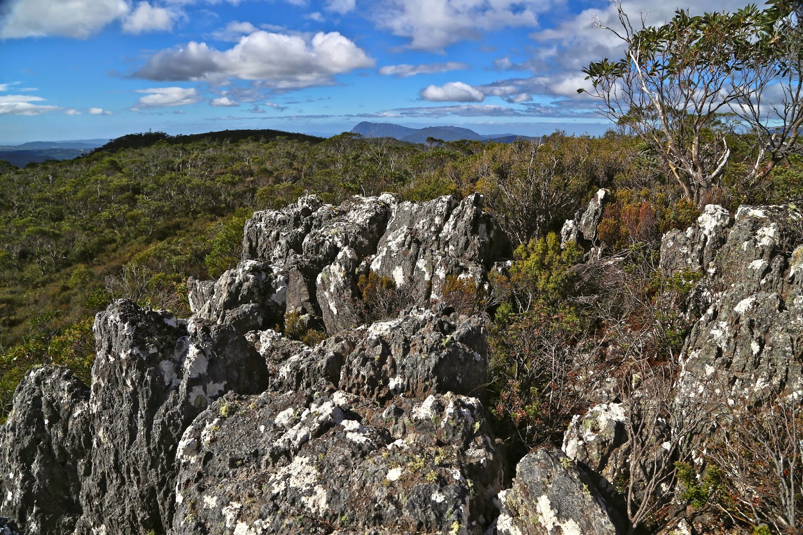
Minnow Falls. This was the best view I could get. Perhaps I need to come back to see the real thing under better conditions.
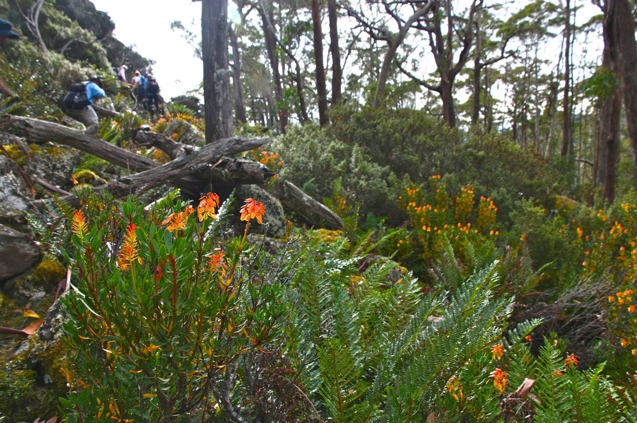
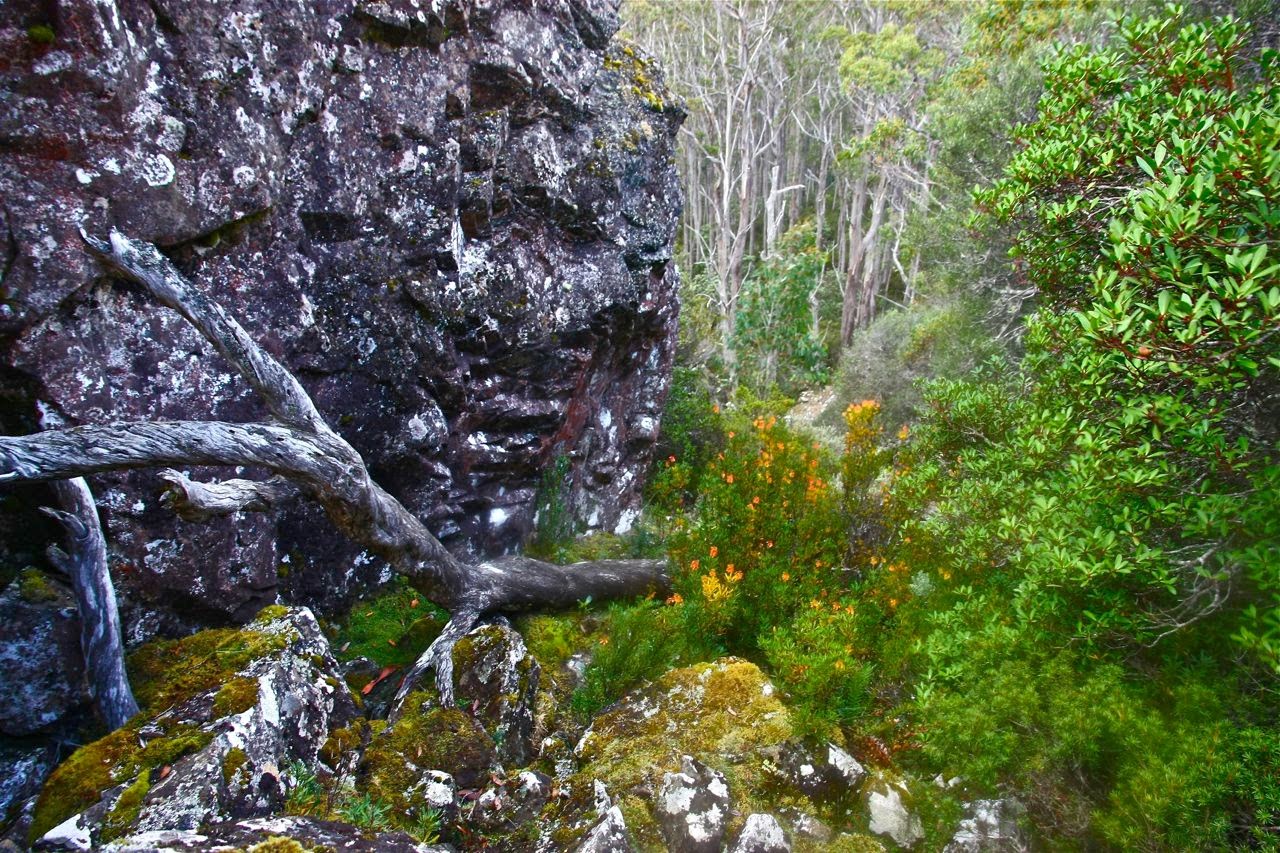
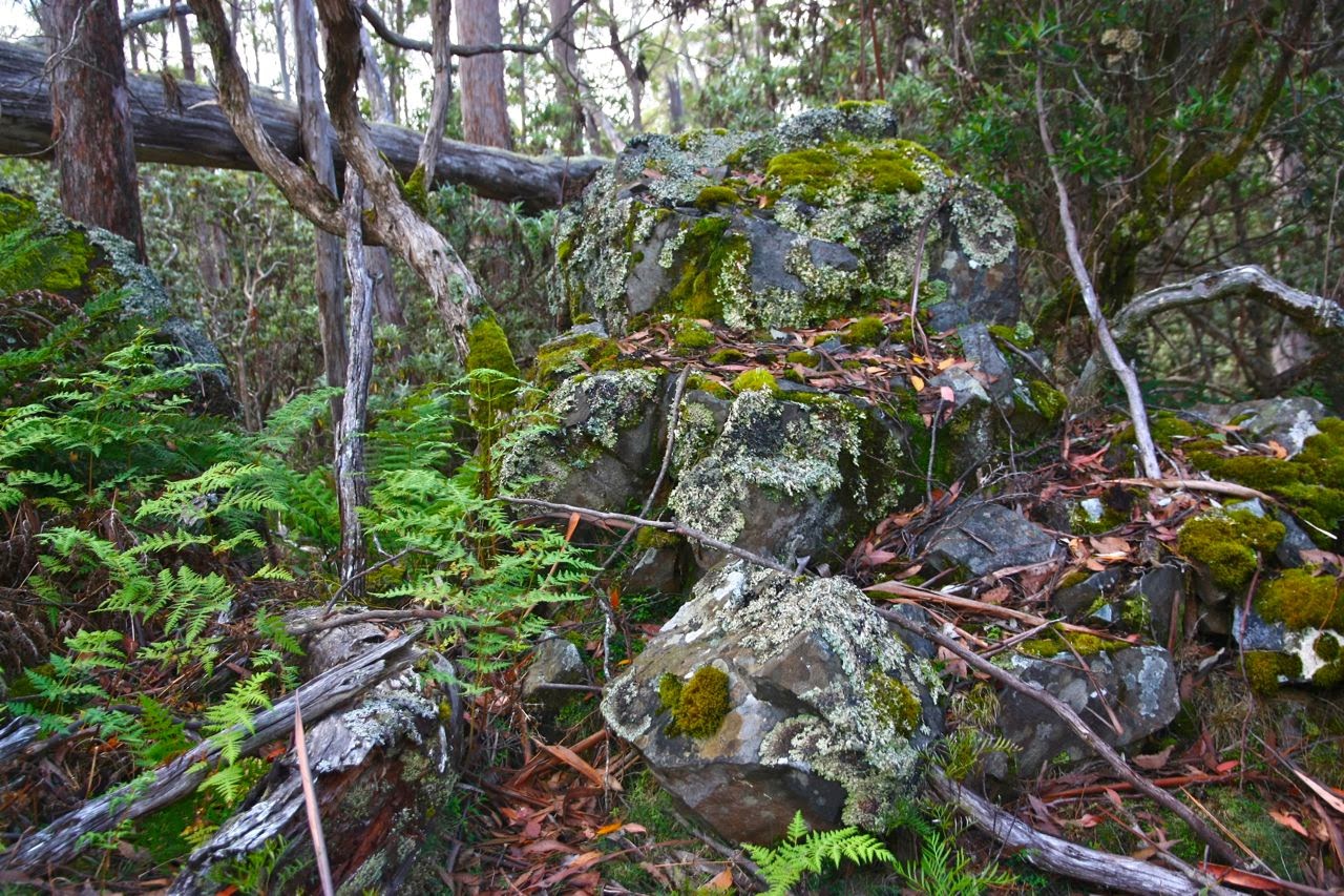
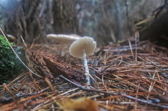
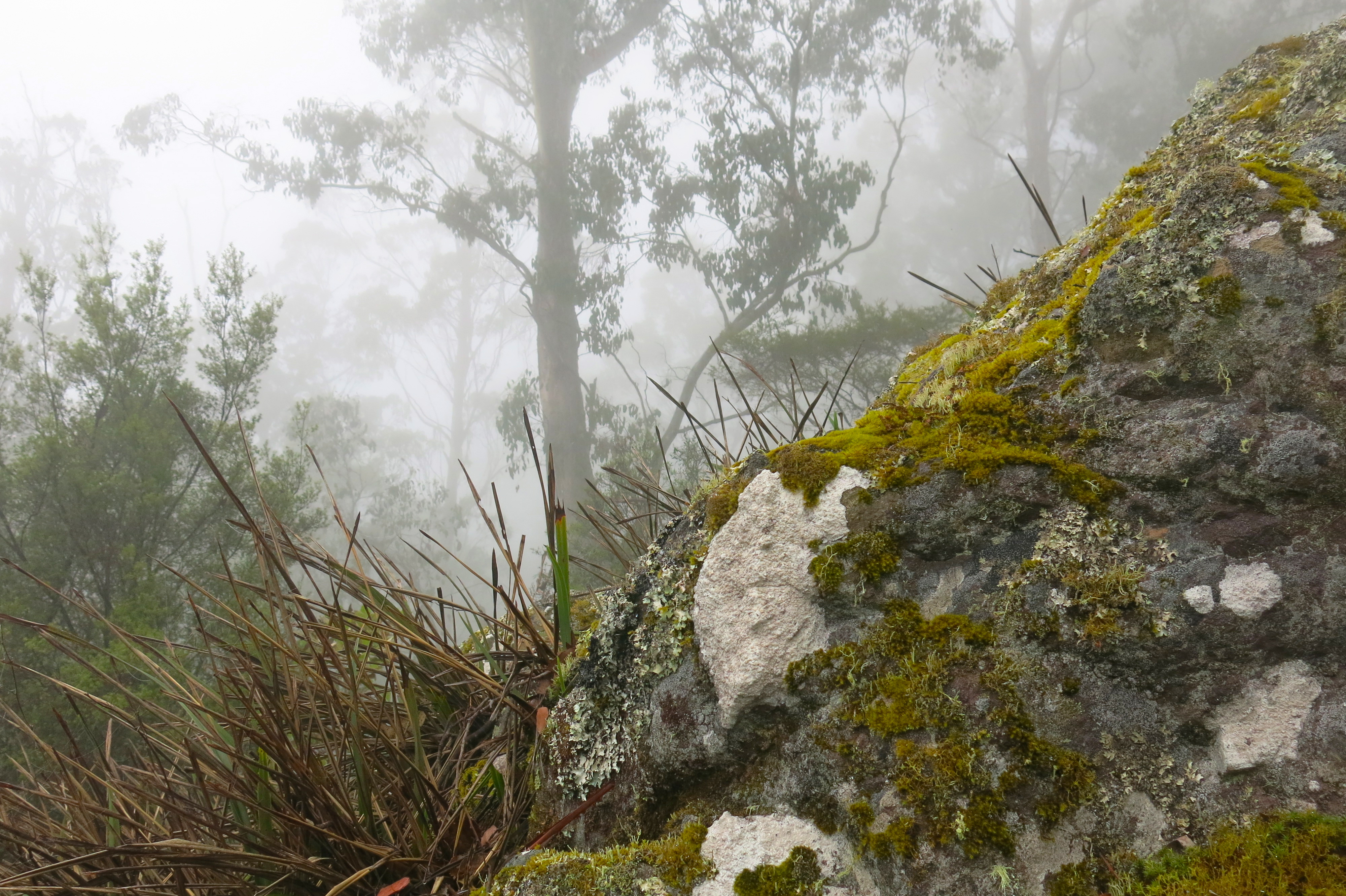
Not only was the physical side of the adventure engaging, but the forest itself was magnificent. Recent rains had been lapped up by the mossy banks and ledges so that rocks and trees were coated in a lush covering of bright green. The mountain laurels shone as in moonlight. Fungi were also responding to the recent rains and cooler weather, and I saw many varieties, both large and delicate (Russula persanguinea, several camarophyllopsis yellow and more). Invertebrate life was also out and about, with the advantage that I saw many “land planarians” (bright yellow members of the flatworm class [Turbellaria]). The negative aspect of this response to moisture was that the leeches were also present, and hungry after a long, dry summer.
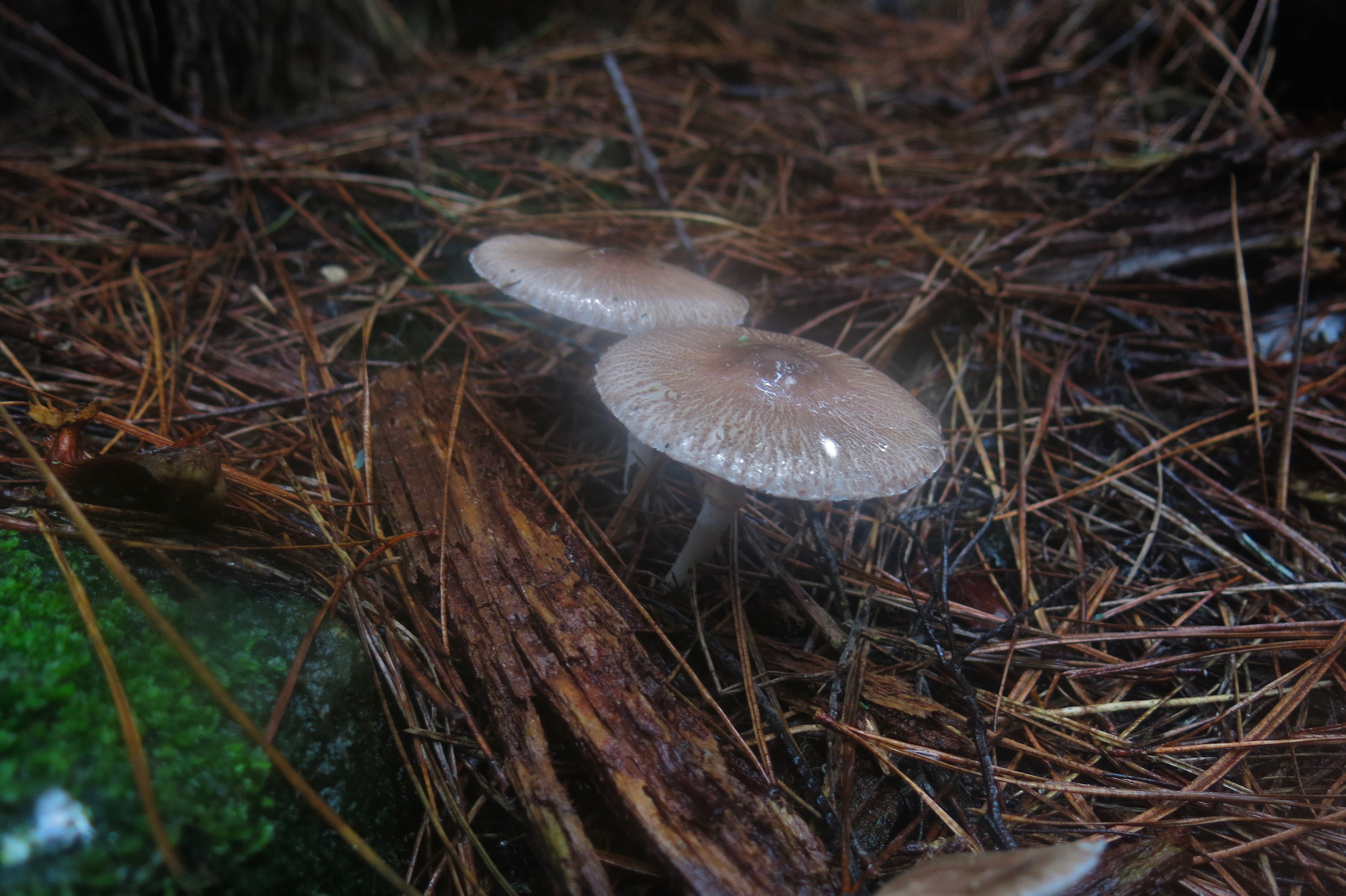

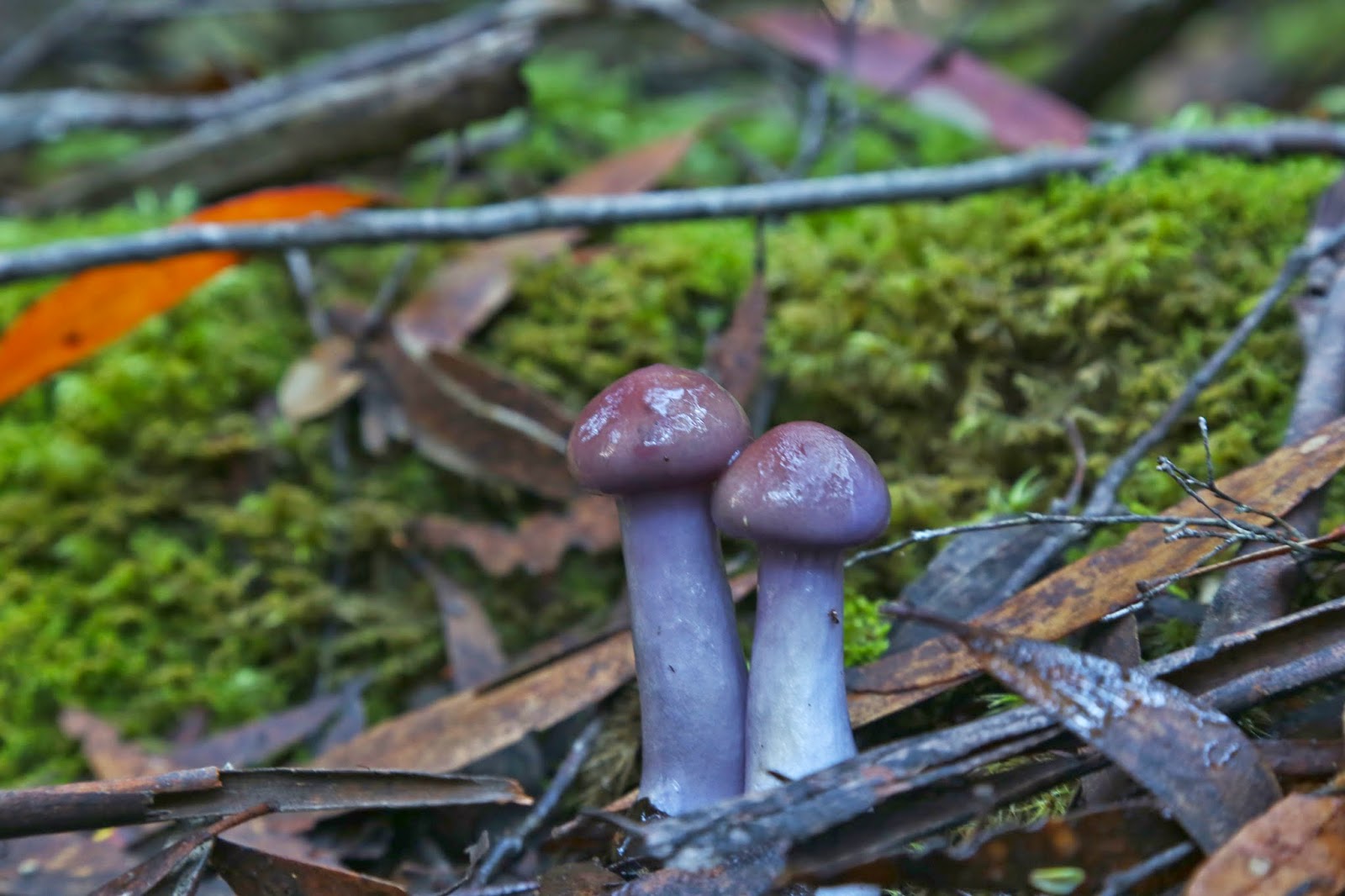
Leucoagaricus or Lepiota sp. (Thanks Dr Genevieve Gates).
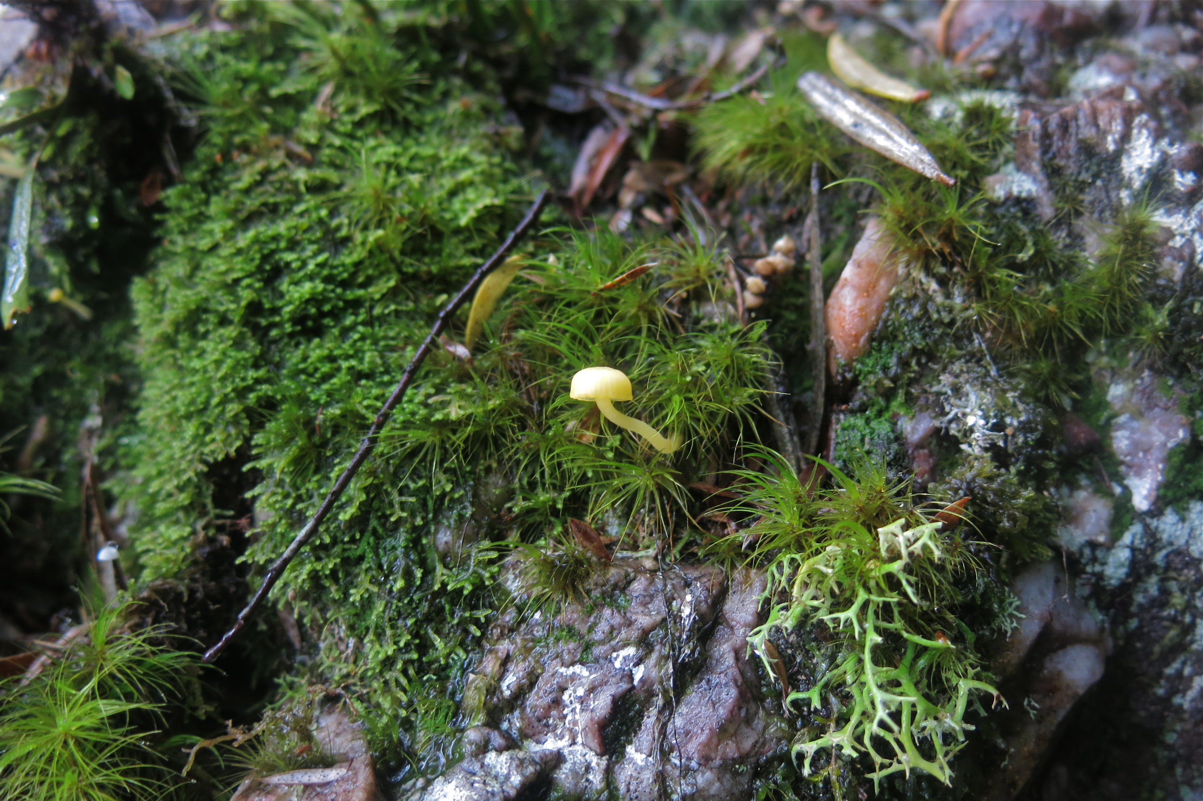

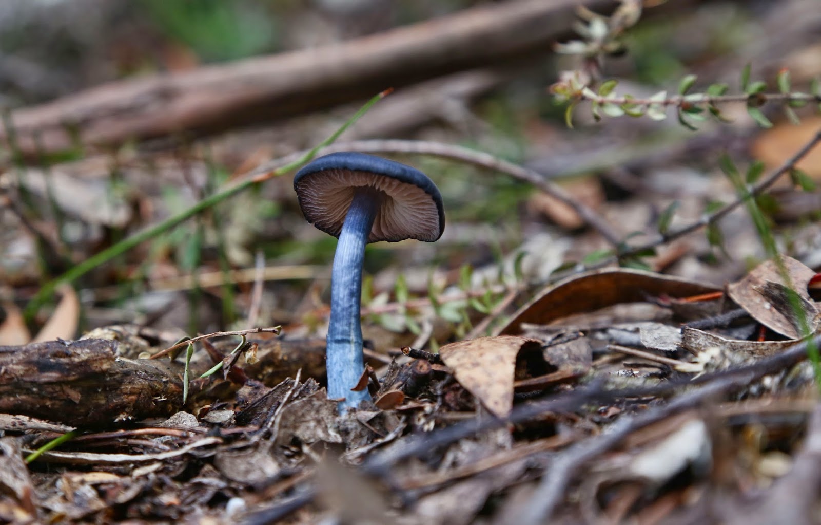
Camarophyllopsis yellow
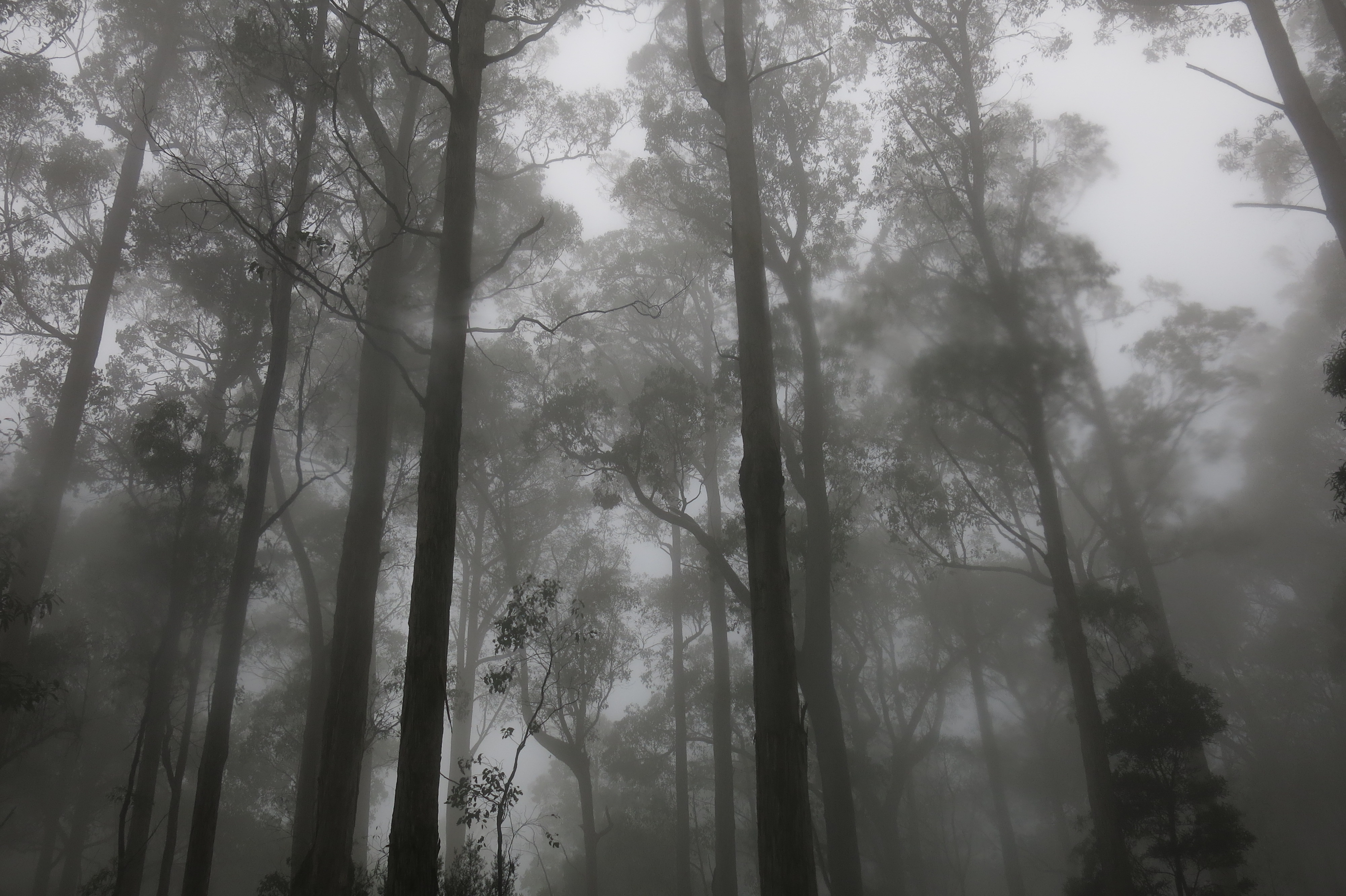

Atmospheric forest at the end

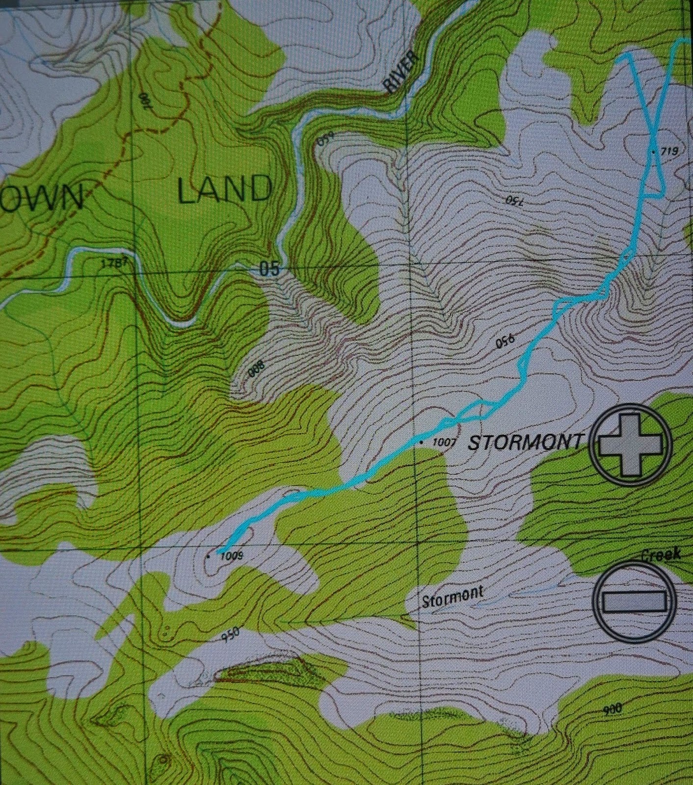
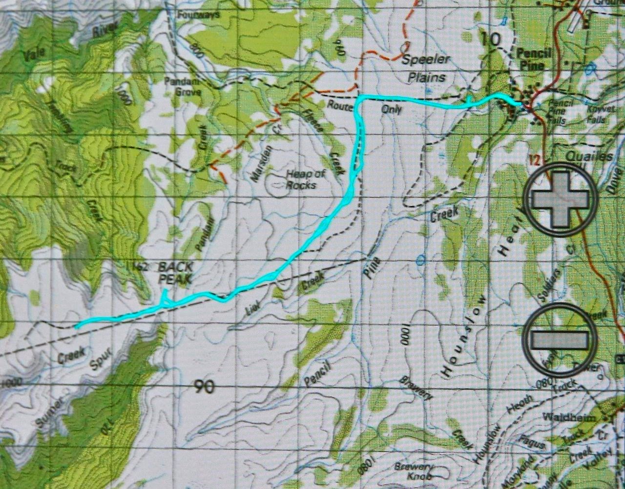
 If you look at the gps route above, it looks as if I never made it back to the car, as you will see a small gap in the blue track bottom right. I left it like that intentionally so that you could see exactly where we parked. A continuous circle would have confused that issue. (We did the route clockwise). I would not drive to where we parked without a 4WD (just abandon car earlier and walk a bit more). I would also, of course, not undertake a pad like this without being a confident navigator, as pink ribbons can dump you in the middle of nowhere if you don’t know exactly what you’re doing.
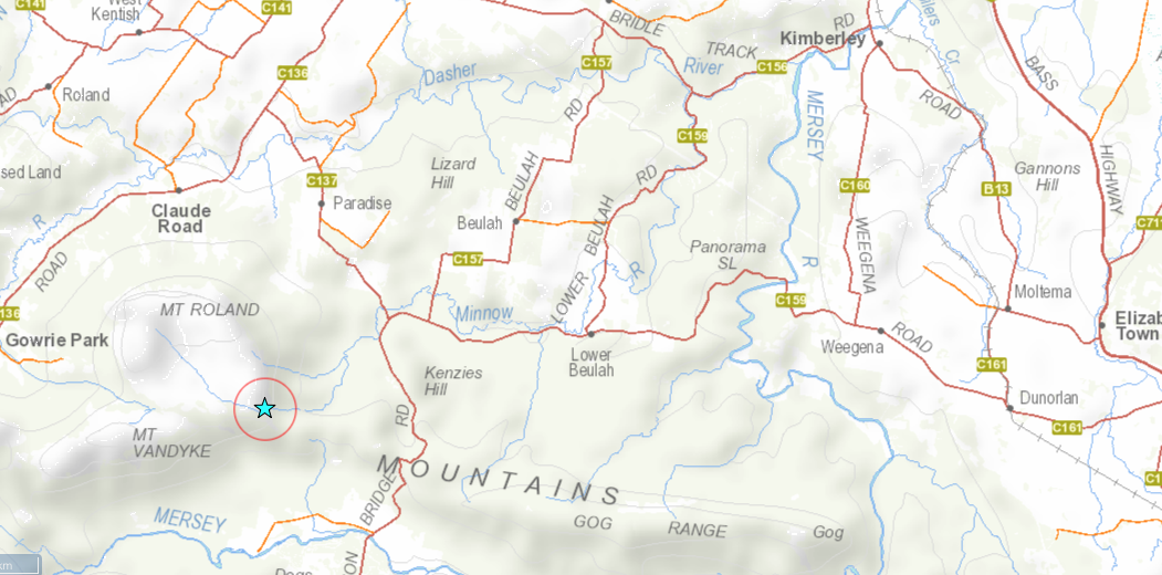

So. How do you get to the start? If coming from Launceston, go through Mole Creek and head up towards Paradise. If coming from the north, turn off the Claude Rd (C138) onto the Paradise Rd (C137). Follow until its intersection with  a road that heads east (L) to Lower Beulah. You go south continuing on the C137. Turn right after a short distance towards Paradise Plantation. After a river, turn first lefthand drive very steeply up Rising Road. This is the one that I would not go the whole way up if driving myself. At the top, the forest track and tapes begin. Good luck.

Stormont 2014 Apr

Mt Stormont, Apr 2014

Climbing after the rainforest has ended

Like so many mountains I end up climbing, I had never heard of this one until I saw it on the peak baggers’ guide. A friend told me that a group she belongs to was going to climb it, and that it normally had access difficulties, being situated on private land. This seemed like an excellent opportunity to have someone else make phone calls and arrangements on my behalf, so we signed up. The land owner was most obliging and welcoming, and we were soon parking the cars in squelching mud up to the top of my boots, and then ‘swimming’ through the red ooze to the forest which was fortunately only across the road and down a bit. 

View from ‘fake summit 2
The forest that begins the walk is the wonderful, lush rainforest that I love so much, and I shouldn’t be surprised by the fact that I saw at least eight different fungi genera in the first two minutes. I longed to photograph the delicate colourful forms, but didn’t want to hold people up, so said hurried greetings in passing and strode on. Mt Stormont is 1007 ms high, and my gps says we begin at 450 ms asl, so I guess we climbed a bit, but I can’t say I noticed, as I was mostly intent on trying to spot more fungi. The forest dried out as we climbed, but then we approached the best part of the ascent – a “dragon’s spine” section, which was more knife-edged than the famous Striding Edge of England. I was proud of my Parkinson’s-affected husband negotiating it with aplomb. It was fun. 

From summit 2 (Mt Roland in the background)

Unfortunately, I dropped my lens hood whilst photographing, and watched it roll about 20 metres down the almost vertical cliff-face to an invisible place below. That seems most unfortunate given the expense of such items, but in fact the story ends happily in that two of us came back after lunch and the summits, faster, on a route that could enable finding it, and, as part of the search I got to re-climb the dragon spine from a new angle to indicate to my friend below exactly where the fall had taken place. The permissible speed and the fun of the hunt were the best part of the day for me. The fact that our search met with success was a bonus.

Cortinarius archeri

Stormont has two summits: a real one at 1007 ms, where one can find, if one searches, the scabs of an old trig marker (sawn off iron at ground level, and the remains of concrete), and a false one at 1005 ms, over 500 ms away, where there is a beautiful old cairn – an historic relic presumably built by early explorer Henry Hellyer, who also erected the nearby cairn on the Black Bluff Range. That cairn is recognised as the oldest intact piece of evidence of European colonisation in the western half of Tasmania.

Entoloma panniculum

The Monument Australia website says that at the time of building (1831), the half of Tasmania west of the meridian that passes through Port Sorell was uninhabited by Europeans except for small settlements. (Those doomed to live in crowded cities would probably say that that is still the case, but I merely report what was said). I must say that if you are only chasing a peak-bagging point, and stop at the first, real summit, then you will be missing the better of the two views. I took no photos at the first one, but five or six at the second. Does that not say it all?

laccaria sp
And my fungi were there at the end waiting for me. Below is a gps reading of our route.


Hazards Traverse 2014 Mar

Hazards Traverse March 2014
In a former life, when I was an athlete and orienteer, I used to run reps up Mt Amos. I would sit on the summit at the end and gaze at the other Hazard mountains and want to go up them too – obviously not running as I did up Amos, as there was no track, but I wanted to get to know those mountains as well as the one I was on.

Then, one day I heard the magical words “Hazards’ Traverse” and they captured my imagination immediately. Friends talked about doing it, and I was insanely jealous: what a fantastic thing to undertake. At last an opportunity for me to do it too came up, as the name that held so much allure appeared on the HWC programme. I phoned the leader, David, and all was right to go. He talked about ropes and slippery slopes – I know all too well what granite is like in the wet – but that just served to excite me more. Ropes? Fantastic! A real climb. I just couldn’t wait for the appointed day.

Under way at last, climbing Mt Parsons. I was very excited!
It came, along with inclement weather. Knowing how treacherous granite can be in the rain, I was thrilled that we were at least going to give it a go, but was well aware that we may not complete it if things got too hairy. Granite operates like well-polished marble when wet, and not even good boots can prevent you sliding.


Trees are easier to climb than granite

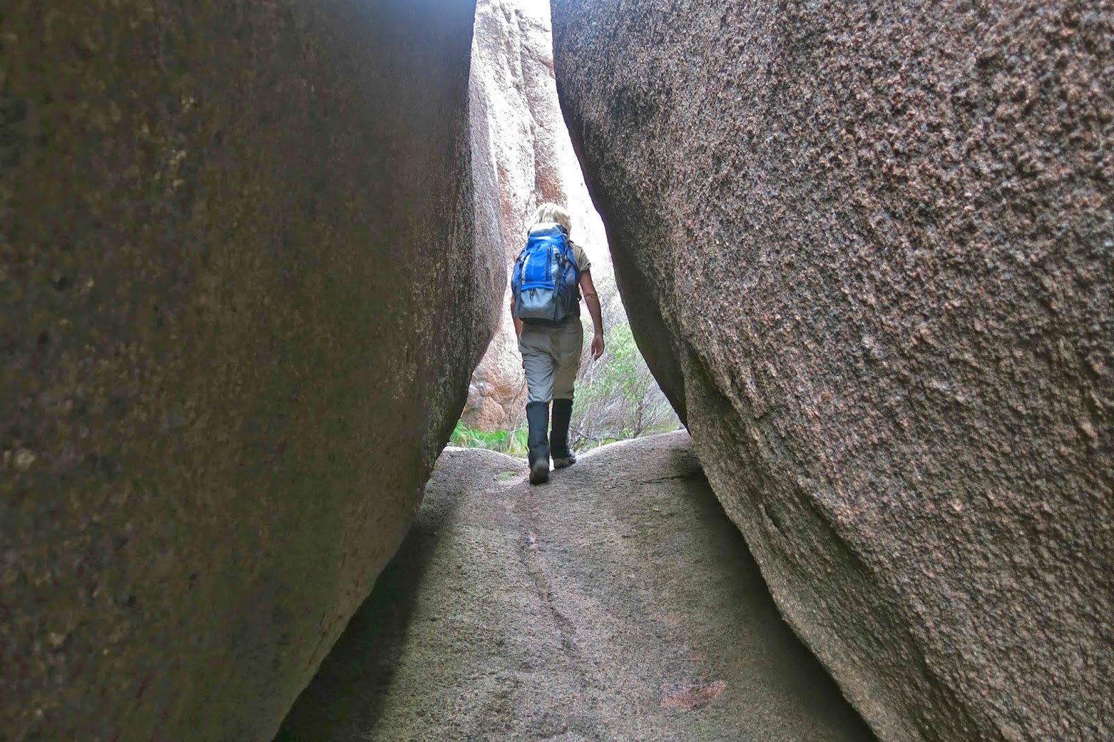
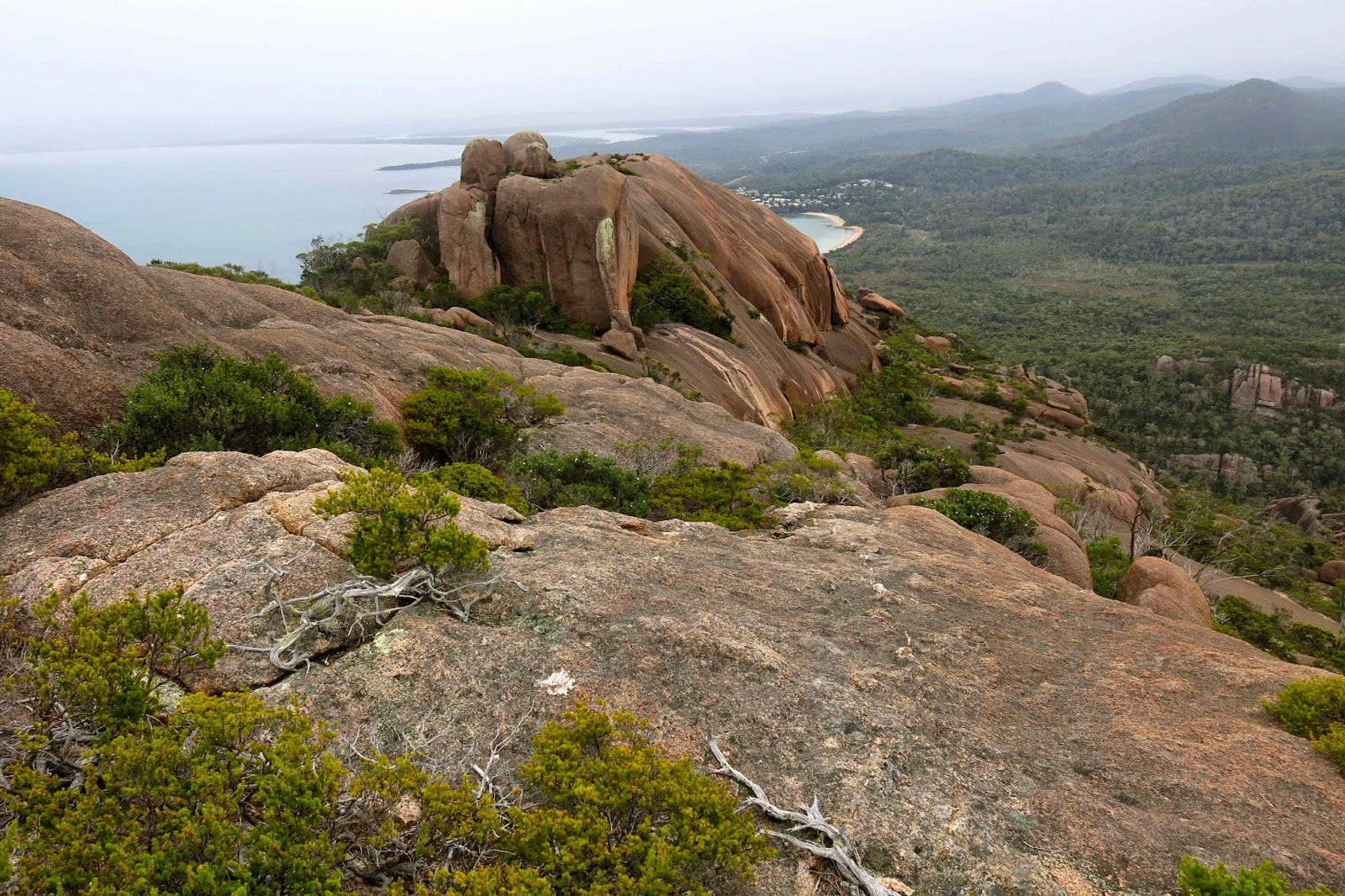
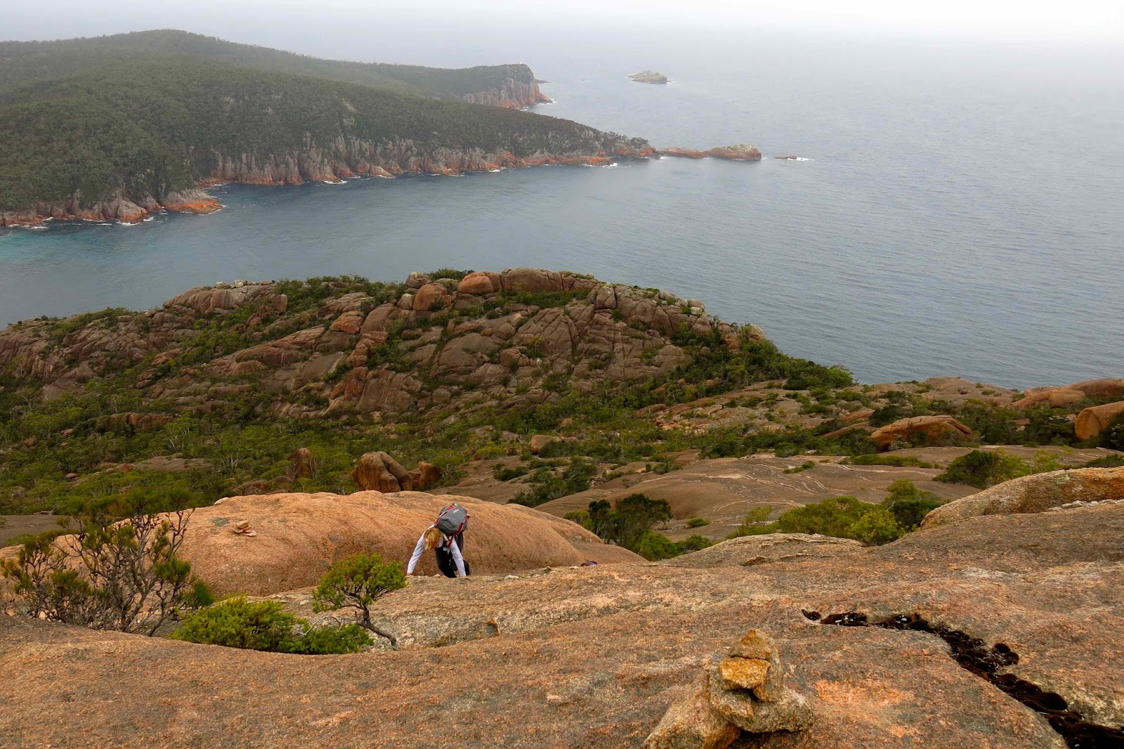
The first mountain (Mt Parson) had a cairned route, which we dispensed with successfully and then began on the challenging part of the untracked slabs between Mts Parson and Baudin (and more). Sometimes we had to use rope; sometimes we had to climb trees in order to bypass the granite. Sometimes we walked through narrow chasms – at other times we needed to climb like a spider, high above the ground with one side of our body pushing against one rocky wall and the other side on the other, using the outward pressure to prevent us dropping down several metres to the bottom.

The rain continued falling and the granite increased its slip factor. Slopes that could be danced up at the beginning suddenly became “rope affairs” which slowed progress down. Then the clouds came in so thickly that we were robbed of all visibility so that our expert leader lost confidence about his necessary sightings to line up the best route.

As we sheltered from the rain under a cave to eat our lunch, David voiced his doubts, and everyone did their maths on time taken, time still needed to complete the task, and it was decided by mutual consent that we should bail out before we began climbing Mt Dove.

As I was an orienteer, I was asked to lead us down through the thick gully full of giant boulders the size of large buildings. I enjoyed the challenge, and found us a pretty doable path that I was pleased with. Everyone seemed happy to be doing a path that was not the “fight” they were expecting, and we reached the road down the bottom in good spirits. It felt very good to sit in the Coles Bay café in dry clothes and enjoy a hot cappuccino before embarking on the drive home. Thanks to David for a fabulous day, and for his expertise on this traverse that made even beginning it possible.

Recondite Knob 2014 Mar

Recondite Knob Mar 2014.

My husband cleared himself from work for the day so I could have a(n early) birthday wish. I chose for us to spend the day climbing Recondite Knob. Web reports had it as being a very long day indeed, so this time I warned the dogs we’d be quite late. Probably because I’d taken that precaution, we were back in time for dinner, surprising them by being early for a change.

This reticent, elusive Knob sat there quietly, just a brown ellipse on the map, one of many nameless shapes, until Bill Wilkinson, editor of the Abels book, did his research and found that it satisfied the requirements to be what he called an Abel (inter alia, a peak over 1100 metres) and in 1994 presented a submission for his chosen name to the Nomenclature Board. He dubbed her Recondite because of her property of being something that only those with specialised knowledge would know about – a mountain for the cognoscenti. And indeed, only those in the know would be aware she existed or desire to go out that way to climb her. She is still unnamed on maps, and her paucity of visitors is indicated by the very few names in the log book at the start of the track. We were the second visitors for the year, and it is now pushing April. Even the wombats seemed surprised to find humans in their otherwise undisturbed territory.

Drink spot.
We delighted in the sense of space and room as we wandered freely along the broad ridge tops with their views to many mountains of the Cradle Valley, and in the totally different perspective of Cradle and Barn gained from this new angle. We could see as far as Pelion West to the south, to Murchison and Farrell more to the west, and to St Valentines Peak in a more northerly direction – and that’s despite its being a pretty murky day. Not a sound was to be heard. It felt like we were the only people on earth today, increasing the sense of wilderness.

The summit – most appealing!
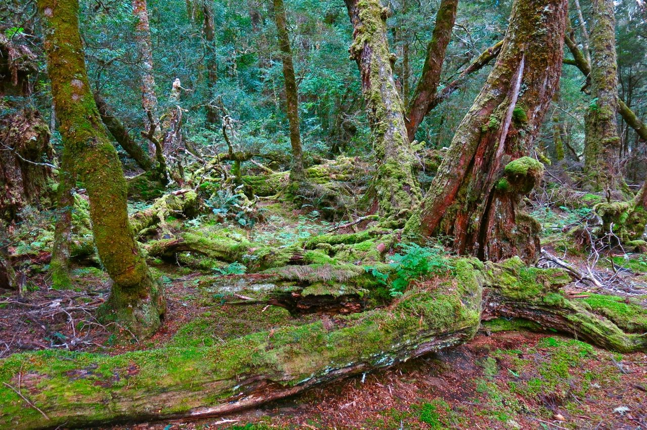
Our route began just out the back of Cradle Lodge where blue signs at the bottom of the dam point you to Speelers Track and Reynolds Falls (and more). At this stage you are on board walk, and are on the delightful King Billy Track which leads through an enchanted forest of ancient myrtles and King Billy Pines, with thick moss and lichen adorning the trees.
After a short distance (and after the narrow track crosses a small road, part of the lodge) the track we needed to follow hives off from the main King Billy track, and points still to Speelers Track, staying closer to the river than the King Billy one. It is the next sign that causes confusion among most bloggers (perhaps 10-12 minutes after leaving the lodge). One piece of information we read said to turn right here. The map agreed, but indicated we should turn left pretty quickly after that to connect with an E-W route. This route never appeared so we backtracked to the junction and this time noticed that three directions were possible, not just two as seemed the case at first. The middle one, which we took, was not represented on the map, but was going roughly where I wanted it to go, so we followed it. After 600 metres, it joined the E-W route that I had been trying for earlier. After this, it was plain sailing for the rest of the day.
I never tire of this forest.

We had to leave the magic forest, but climbed onto golden moorland with views described earlier and an exhilarating vastness. We wandered wild and free across the tops. 35 minutes after leaving the lodge, this track intersected very clearly with a N-S old mining exploration route, clearly visible on map and ground. Walking along this was very easy, but after 7 minutes, it dumped us into the button grass, after which we had to fend for ourselves for many kilometres.

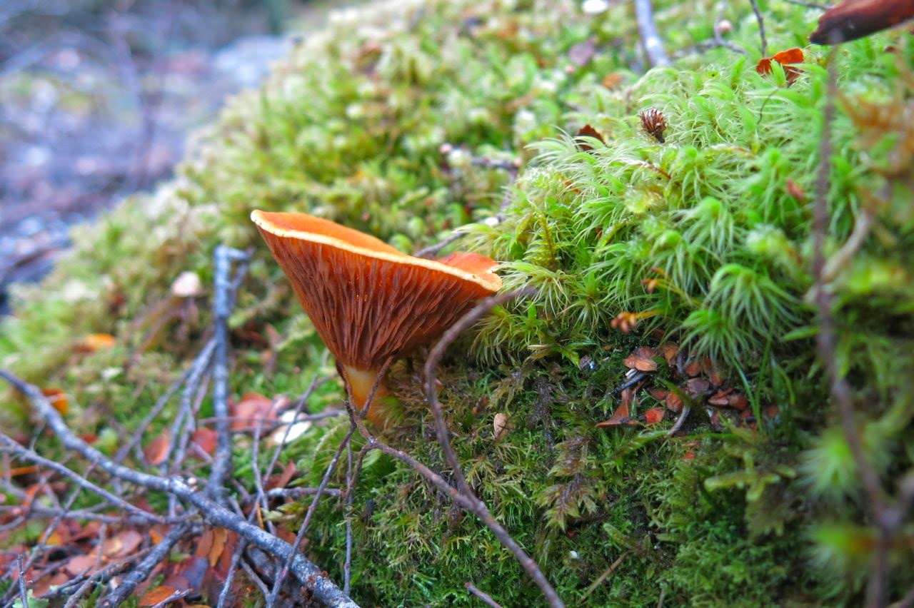
An obliging fungus colours the forest (Austropaxillus muelleri)
My husband doesn’t cope very well with button grass bogs, so I made no attempt to follow the remains of the route and chose instead a path that minimised button grass mounds and ditches and maximised lines of pineapple grass and low coral vegetation. After nearly an hour from the lodge, I headed us down to a flowing creek with pencil pine grove, perfect place for a drink of cool mountain water and a muesli bar (where my blue path intersects with the creek).
 

The next kilometre was the slowest, as my husband struggled with the combination of gaining height and long, flourishing button grass with deep, hidden channels beneath. (He has Parkinson’s disease, so these conditions are particularly bad for him). After we passed the one contour knob to the left of our line, things picked up for him, as the vegetation changed, and meanwhile the old route reappeared. It was especially easy travelling once we’d climbed around the base of Back Peak. 2 hrs 30 walking time after leaving the lodge we were on the summit and eating our lunch, enjoying the plentiful mountains in our vista, even if the view was grey, hazy and unclear, with flat lighting.
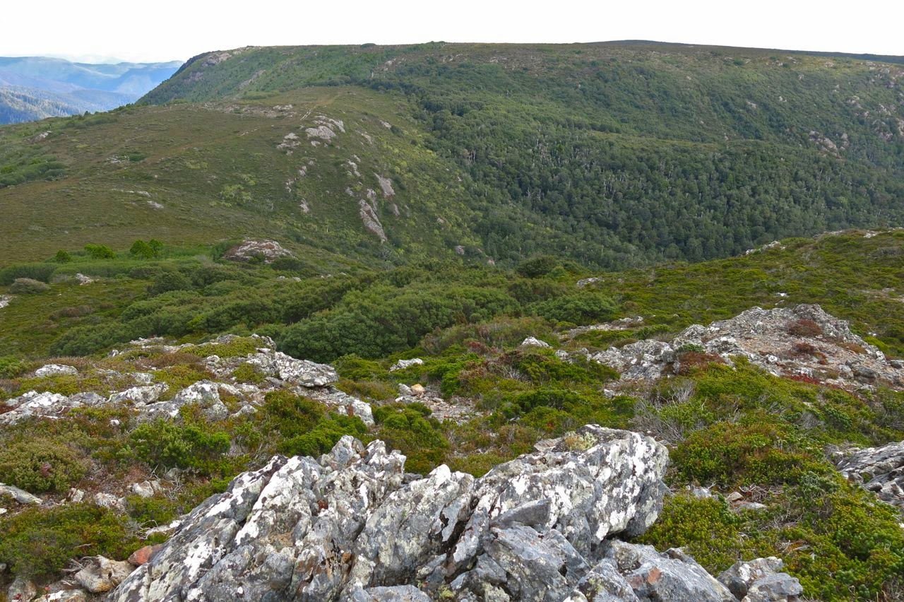
Looking towards Recondite from Back Peak, but what you see here is not quite Recondite – it’s hiding behind this lump. You go up what you can see here, and then down and then up again and you’re there.
I was a bit worried about the weather, and the fact that the return journey would perhaps take longer, both due to my husband’s fatigue and the fact that I wanted to go up Back Peak. I hurried us away from this spot, promising my husband a rest while I climbed the peak. It was a fun little climb, but took me only a few minutes in each direction, so the promised rest was rather short. I called out from the top to make contact, and woke the poor guy up.

Summit cairn, Back Peak
Nonetheless, he went really well on the downhill journey, only faltering when we had a few rises to do. The good progress meant we could relax a bit more at the lovely drinking spot of the way out and just sit back in the grass, drink, snack on treats and listen to the sounds of nature, admiring little things like the lichen on the pines and the different shades of green.
 
Austropaxillus muelleri
What a perfect ending to that walk the last bit of forest is with its cool, refreshing, intense greenness. I even found some wonderful fungi to thrill me. And then it was off to ETC for a delicious afternoon tea, and home to Launceston to surprise the dogs with unusual punctuality for dinner.
(Warning, if you are planning to do this mountain, consult the Abels book and google the other bloggers who report on this peak to get an overall view of times. I was in a fast mood, part of my own expression of freedom and independence, and my times are probably not what you would fancy for yourself. They suggest one of many possibilities.)

West Tower, East Tower 2014 Mar

Bush in the early stages of the walk
Contouring around Tower Hill

William Buckland, a delightfully eccentric Oxford Don of the early-mid 1800s (born 1784), not only poked around seashores for fossils dressed in his academic gown, but also decided to eat his way through the animal kingdom, often working his way through it in alphabetical order. Thus students visiting him for dinner not only had to negotiate their way through an untidy array of often gigantic fossils, but also were treated to such delicacies as bluebottle, mole or mouse for the evening meal. Buckland’s devotion to completing his collection of eaten animals was as thorough as it was outlandish.

Bellendena montana lined much of the way, adding a splash of colour
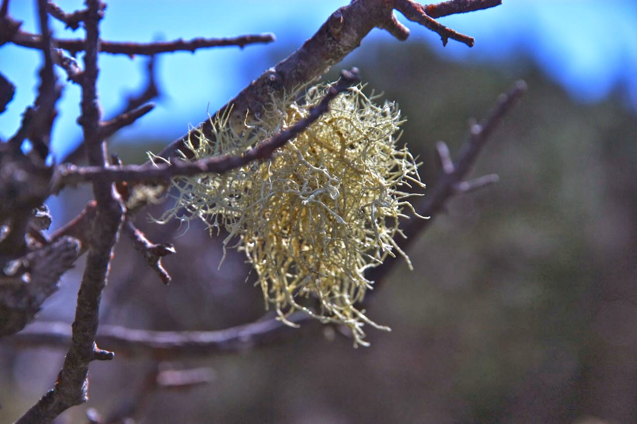
Lichen detail is always fun
How much more tame – how very plebeian – it is to collect mountains one has climbed, and to tick mountains climbed rather than animals eaten on a list. Possibly the only characteristic I share with Buckland is the devotion of a good collector to get the next item even if it might be distasteful. And thus it was that I set out to climb West Tower, an Abel that does not have good street cred; in fact, rumour and gossip have it that West Tower is unbearably scrubby, has negligible view and is barely worth the effort for the point. As with most gossip and rumour, this is based on hasty generalisations with only a modicum of truth, I found. I was expecting a scrub fight, but only encountered a tiny patch of scrub which had enough leads through it to make progress quite bearable. I didn’t even bother to put on my scrub gloves. I think I only had to push and shove once, and that for only a metre. However, the view from the top was very ordinary, and I am happy to put a tick in that box and move on to more glorious mountains. 

With regard to the route, we walked uphill from the locked boom gate for 12 mins before finding the remains of an old road to the left. A cairn marks the intersection. This old route travels in a rough arc, not changing height much until dropping four contours as it curves around the picturesque Tower Hill cliffs before meeting the main spur heading down from East Tower (which travels at this point a bit west of north). On joining this ridge (still on the “road”) a further six contours are lost until a broad saddle connecting the two towers is reached. After a couple of hundred metres along this saddle, there is a rusty stake with two horizontal bits at the top, and the road becomes much narrower. Time to say thanks for the lift and leave it, heading NW, keeping at first slightly left of the main turning point of the broad spur you’re climbing, but swinging further right. Ribbons magically appear at this point, and guide you up over the cliffs and down the other side, where you lose quite a lot of contours before beginning a traverse along the northern side of the cliffs, along a route that sometimes has cairns, sometimes old, and at other times new, ribbons. Mostly the path is on the border between rocks and bush, but don’t just take that for granted, and don’t go into this area if you can’t navigate without the aid of cairns, assuming the path will get you there. You need to know what you’re doing for the guides to be of assistance. The fastest route is to stay below the cliffs until the last minute, although getting onto the ridge line earlier and following it is possible, but is a prickly option.

East Tower from West
I didn’t expect to find any enjoyment in East Tower (done at the end, after the return from West), with its steps and ugly infrastructure, but I actually enjoyed it far more than its western mate. Climbing up and around the locked gate was particularly good fun – even got a grunt out of me – and the view from the top was much better than that offered by the western cousin.