Nicholas 2014 Mar

Mt Nicholas, March 2014
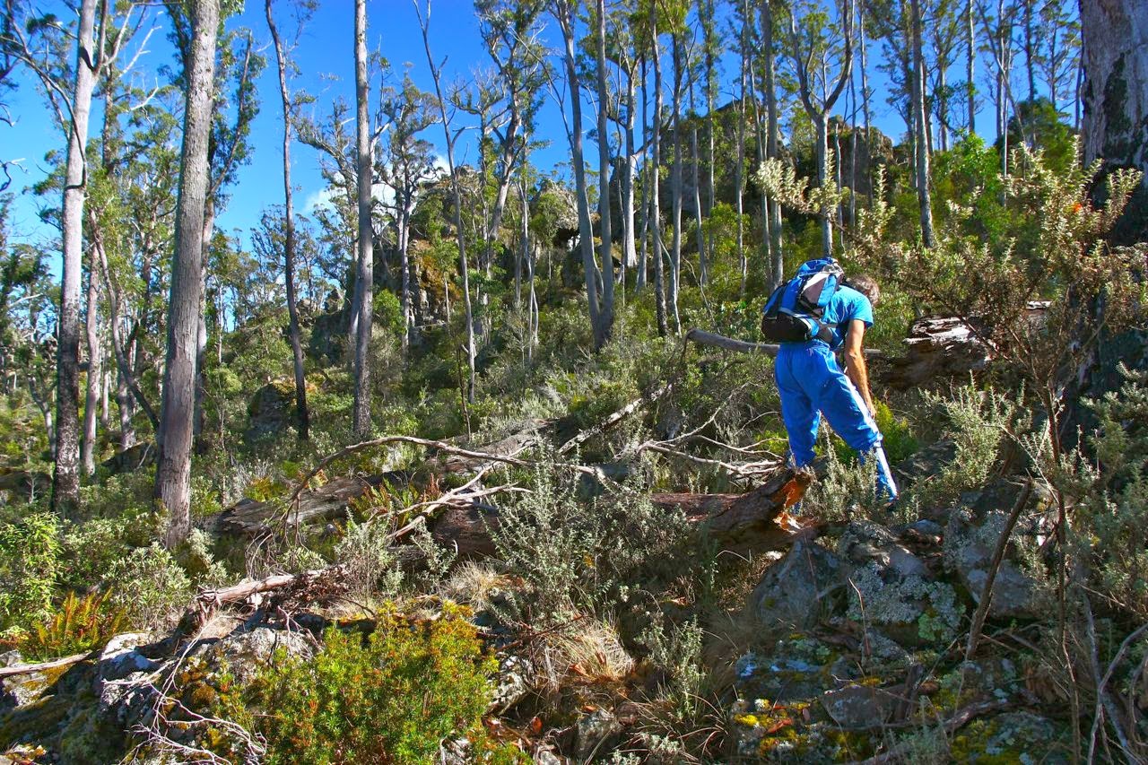

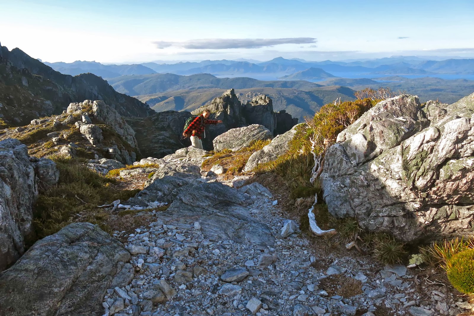
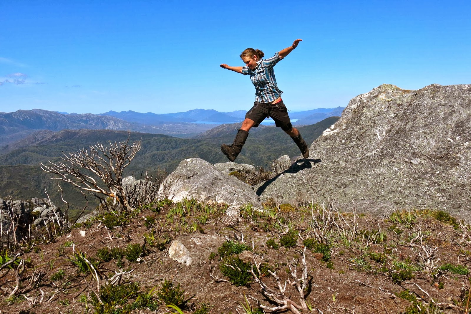
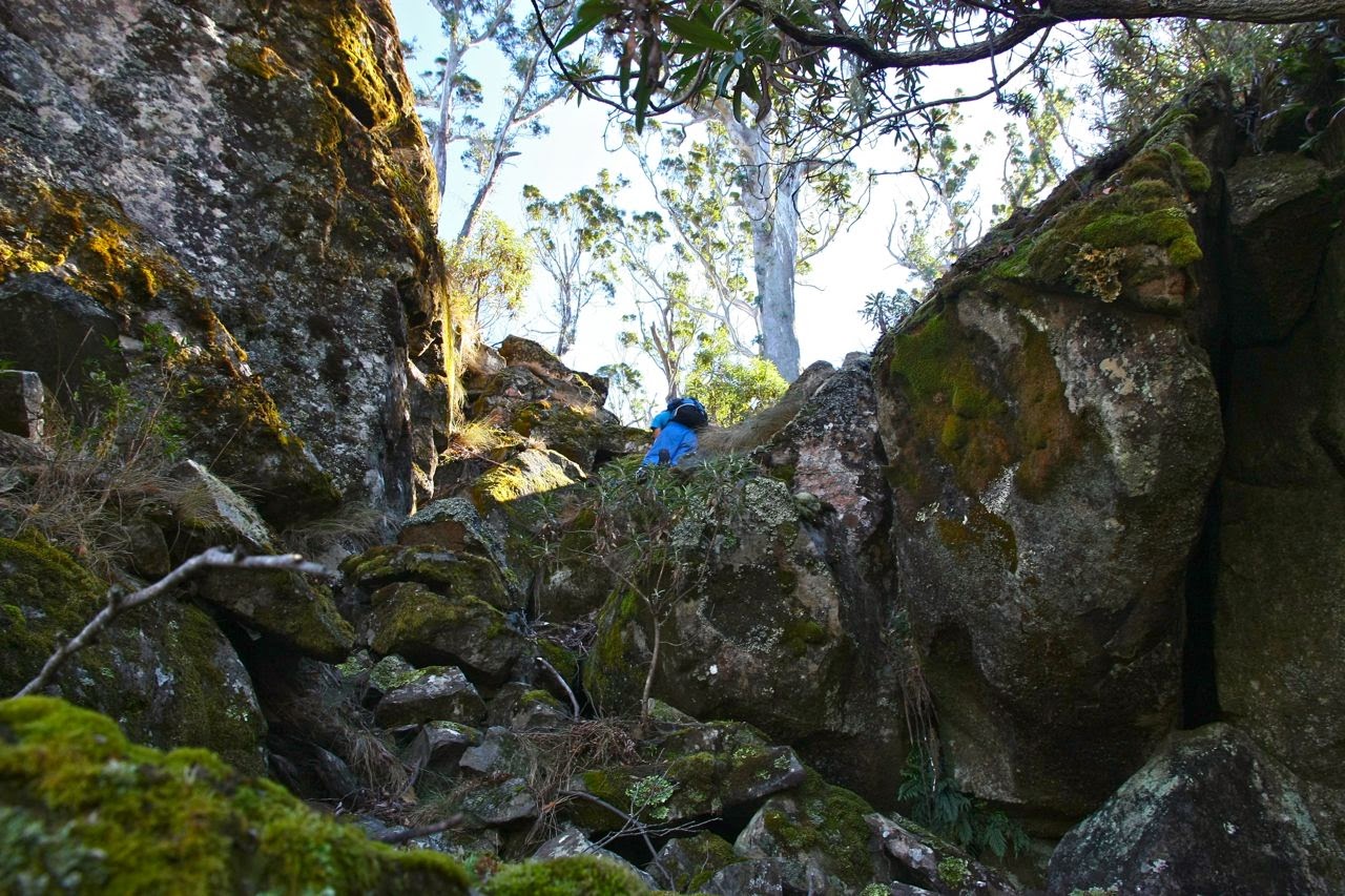
Bruce in action on the climb.
We have just had a marvellous day trying to climb Mt Nicholas – but failing.

One of the things I adore about the peak bagging list is that it entices us to try totally different mountains and explore new areas. My husband and I feel that the list serves as an inspiration or stimulus, rather than a compulsion to collect points (although I do love collecting them, but that is a side benefit and not the purpose). Our motto is: “Das Gehen ist das Ziel” (literally: the going is the purpose) and so, as long as we have had a grand adventure, which indeed was the case today, we have satisfied the purpose of the exercise. Summiting would have been nice, but is not necessary – or even sufficient, for that matter.
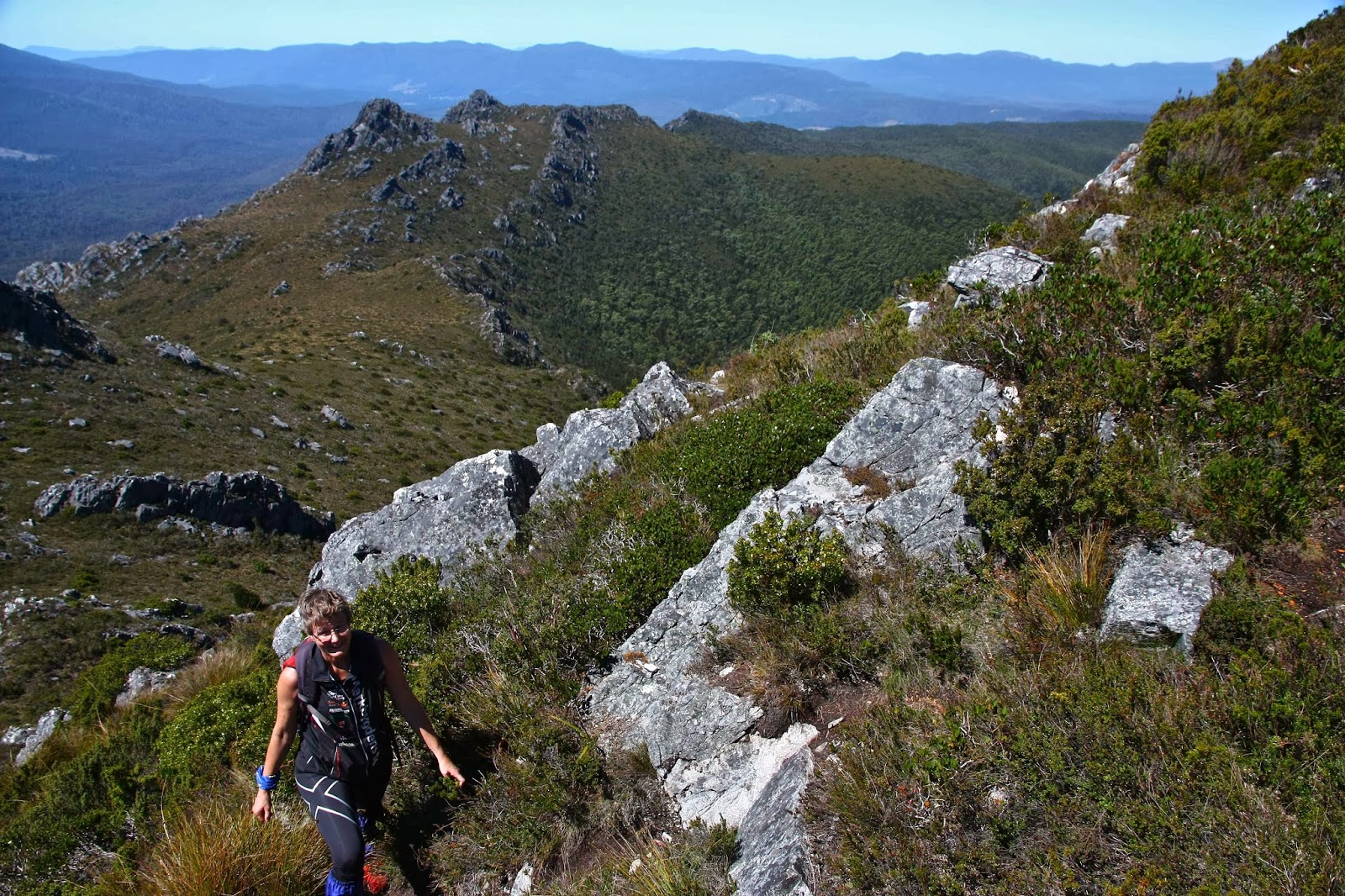
Off we set this morning after breakfast, assuring the dogs we’d be home for lunch (ridiculously, they nodded wisely, trusting us to keep our word). Hardly for the first time, we enjoyed the not-as-early-as-it-should-have-been light in the Fingal valley, and just before St Mary’s (about 10 kms before), turned off to the north on the Mt Nicholas Rd, stopping at the first intersection – which happened to have a nice-looking spur from the mountain coming down to meet it. As there was also a fire-trail kind of thing, we decided to follow it for a while, to see where it was leading, even though it was heading more east and on contour. We needed to correct at some time or other and head due north and climb to hit the ridge, but I didn’t see the timing as being crucial, and it was giving us a free lift east while it lasted. The minute it began a slight descent (10 mins), we thanked it for its help and departed northwards, over stony, progressively steepening ground that was fun to climb, sometimes involving all fours to get there. The steepness was something we weren’t quite expecting, even though we were greatly enjoying it. I was already ruing giving my boots a rest this weekend and choosing absurd, soft soled, slippery runners. I had underestimated the demands of this journey rather badly, but then, I had looked for, but failed to find, information, so didn’t feel guilty as such.
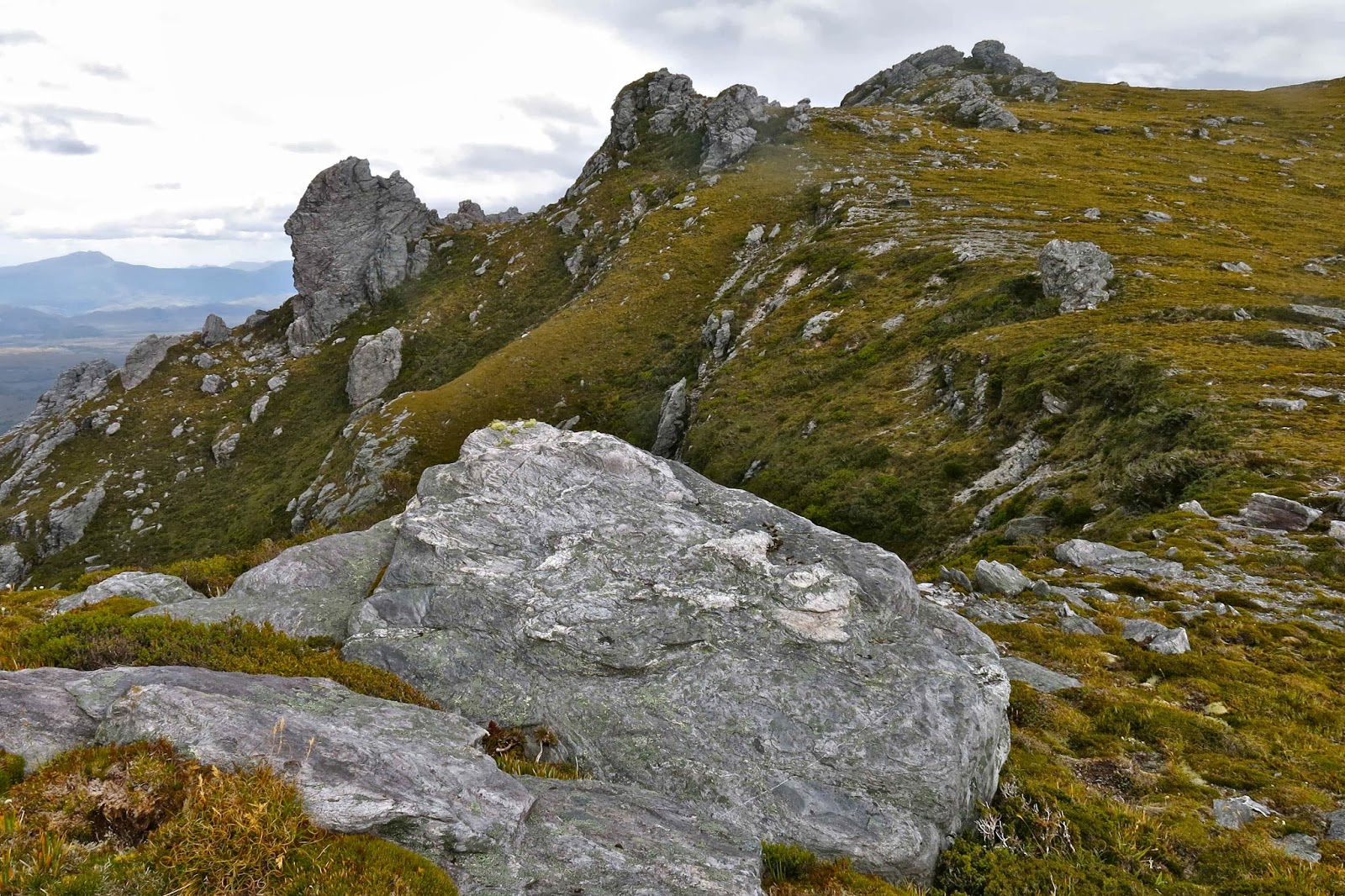
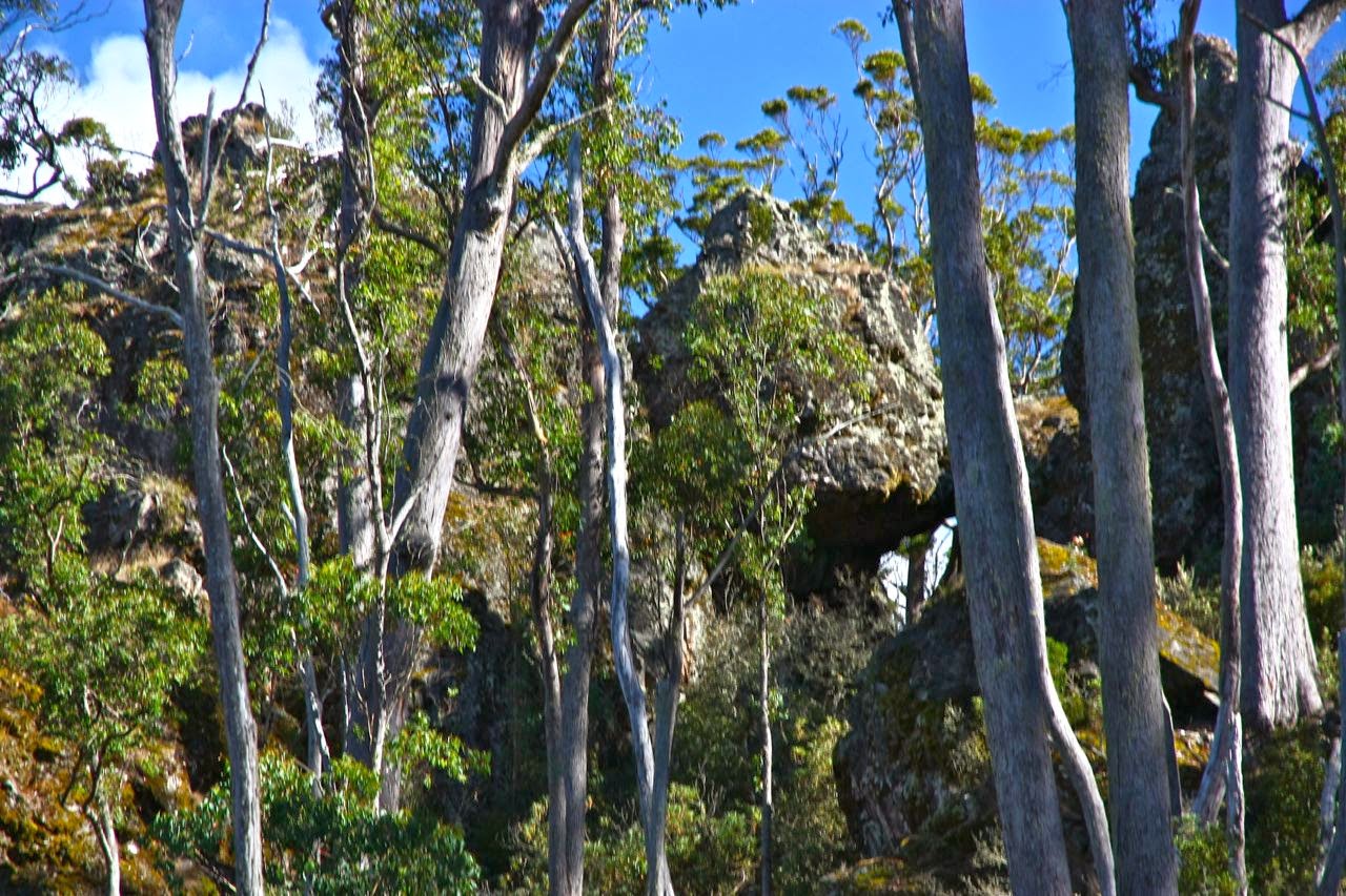
This lump is typical of the monsters that guard the ridgeline
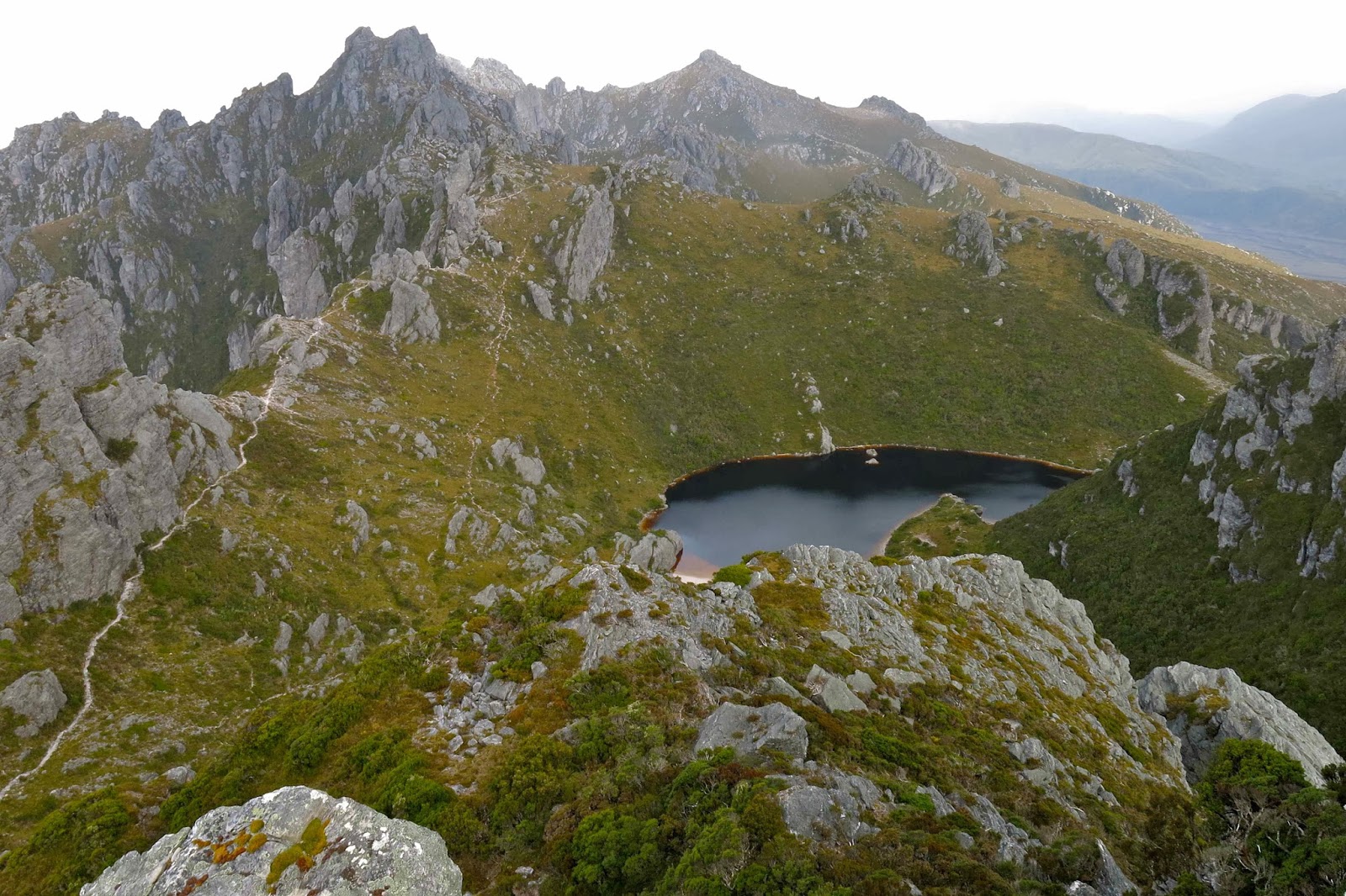
The nearer we got to the ridge, the more it appeared crowded out with huge hulks of monsters standing guard over the actual summit. Giant, giant forms lurking, louring over those who dare trespass on the magic mountain. (I read Beowulf yesterday, a story set in 5th century Denmark. My mind is full of mead halls and giants, monsters, dragons and caves with dangers and loot, and something to be overcome or conquered. I am no strong viking giant called Beowulf, but I love that world of valour and honour, so let it baptise my imagination and play itself out a little today).
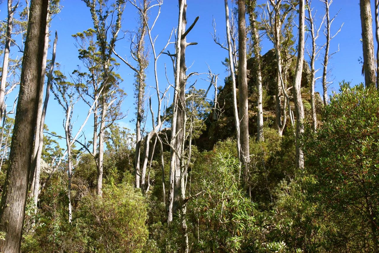
Fifteen minutes after leaving the track, we found ourselves on the ridge proper, and up ahead we saw the summit. Yes, this was going to be another quickie. Excitedly, I dashed ahead, enchanted once more by the thrill of the climb, and this was a good one. Tiny holds, but enough. Difficulty increased by having the sun directly in my eyes and a very strong, gusty wind blasting me, sometimes dangerously, considering my precarious hold and unsuitable shoes. How was my husband going? I couldn’t see in these conditions and would hunt for him at the top. Ta da. Summit. No, not summit. Not even nearly summit. Where was Bruce? Ah yes, excitedly climbing a different “summit”.
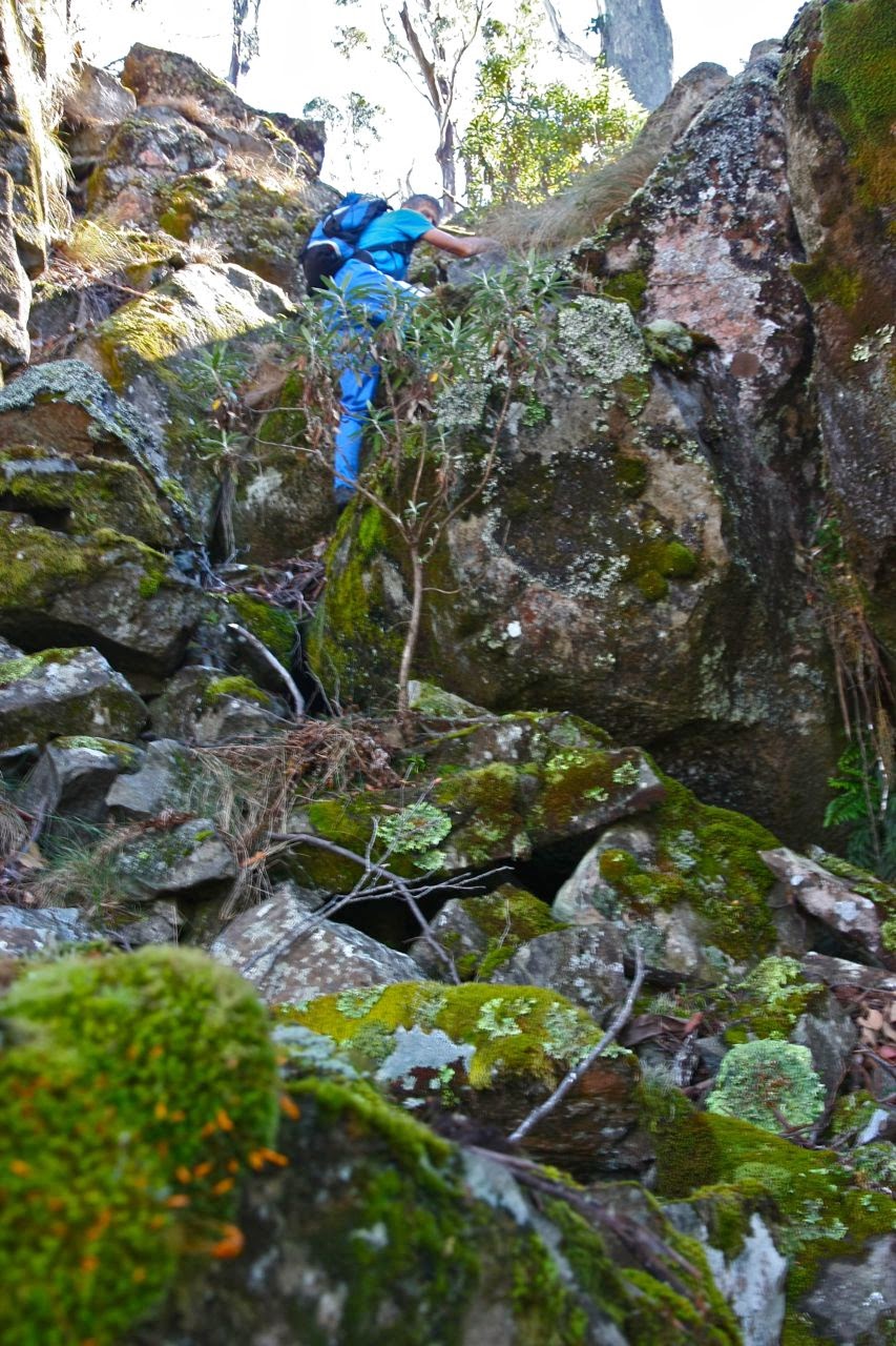
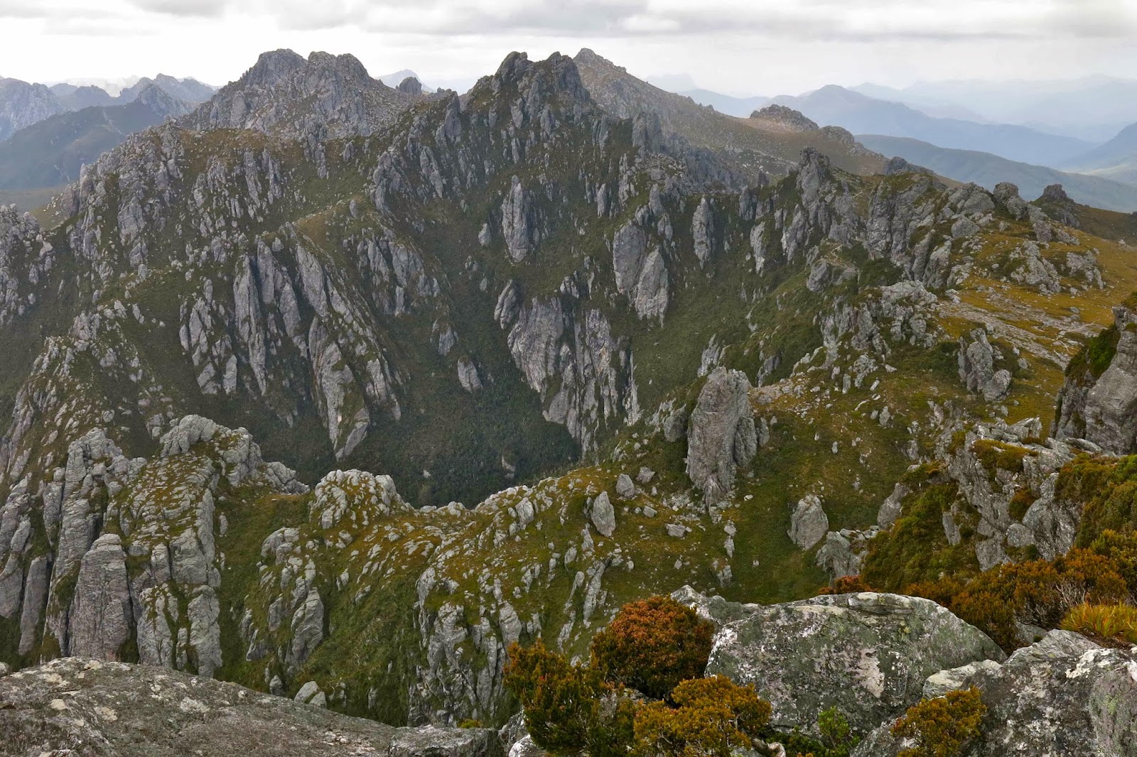
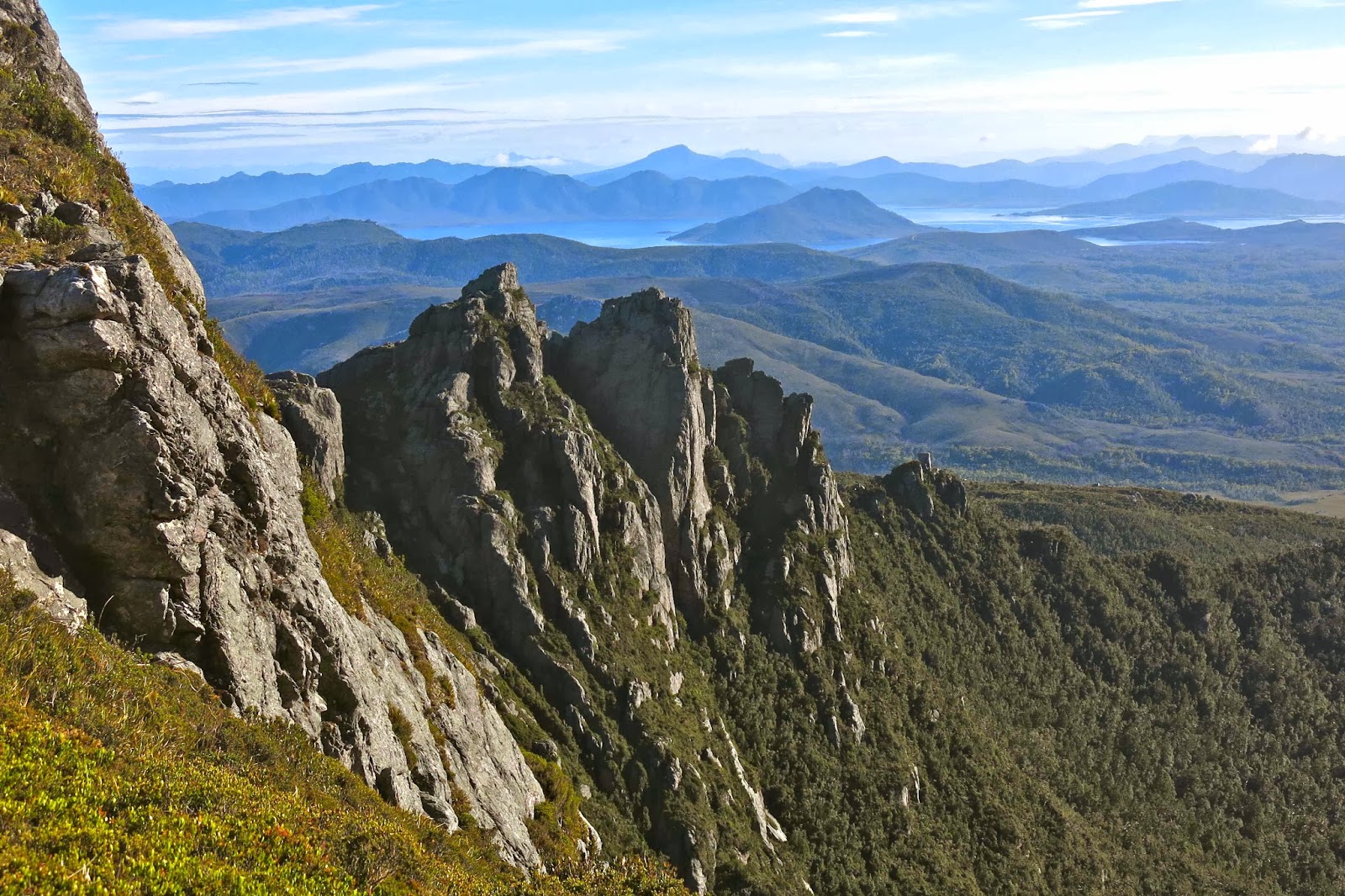
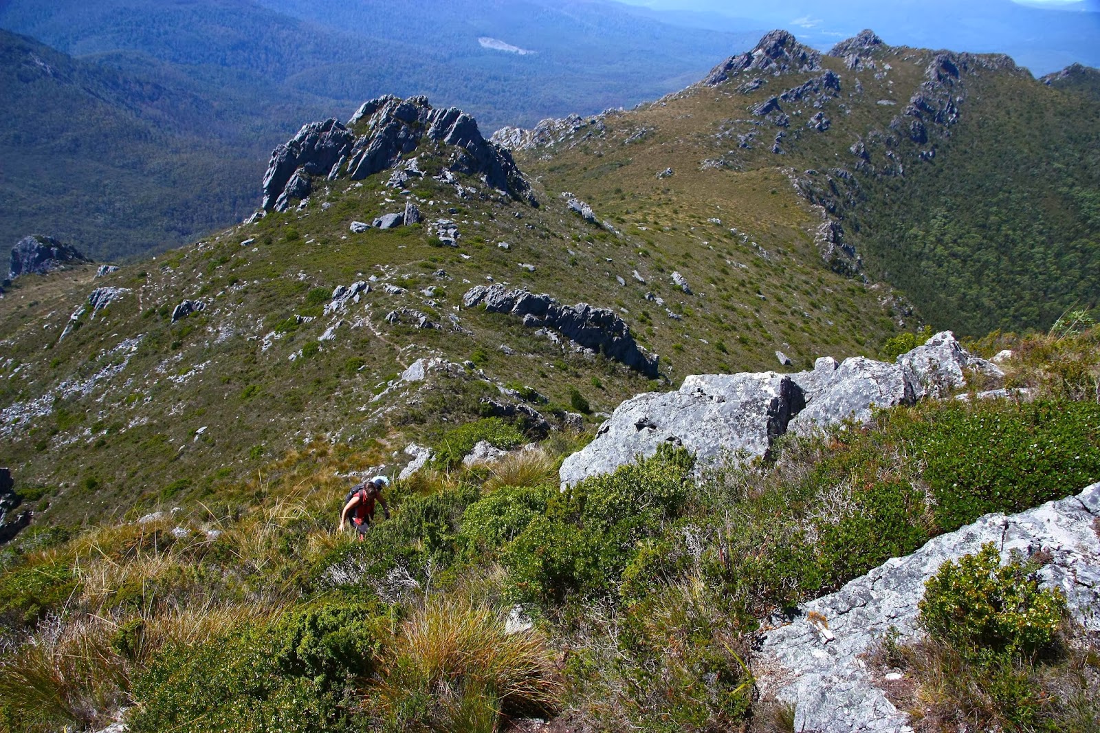
 Along the ridge line ahead of us lay a marvellous maze of rock towers, each one humpy bumpy and monstrously high. (Perhaps this area could be touted as Tasmania’s version of the Czech paradise, Adršpašské skály). The summit was on one of them, and was well protected by its friends. It was not a matter of gaining height and then going to the summit. You had to guess from below which one was going to be the tallest before you began your climb. If you were wrong, you landed in a dead end – or, no, better than that, on top of yet another false summit. We tried a few false summits, and several gullies that were going well until they ended in a cul de sac. We really loved doing what we were doing, and did not regret the absence of the actual summit trig. I did regret my shoes, and I sure wouldn’t have minded a bit of rope for security on some of the things I did.
We had been at the top of false summit number 1 and in the rough area of the summit after 30 mins. My watch said we had now been going 1 hr 15, and my gps said we were at the black dot of the summit. The trouble is, we were at the base of a cliff and were 40 meters in height lower than the summit. We tried several gullies, but I was not comfortable with Bruce going up any of them, and I did not want us separated. I could not see any way of doing it today. The only way would be to come back with boots, a bit of rope just in case, and a friend who doesn’t have Parkinson’s disease. We gave it our best shot and failed, but we sure had a fantastic day. On the way back we reclimbed one of the false summits to have a snack and take in the view before plummeting down the gully (luckily all watercourses were dry, even though mossy, or the going would have been even more challenging).

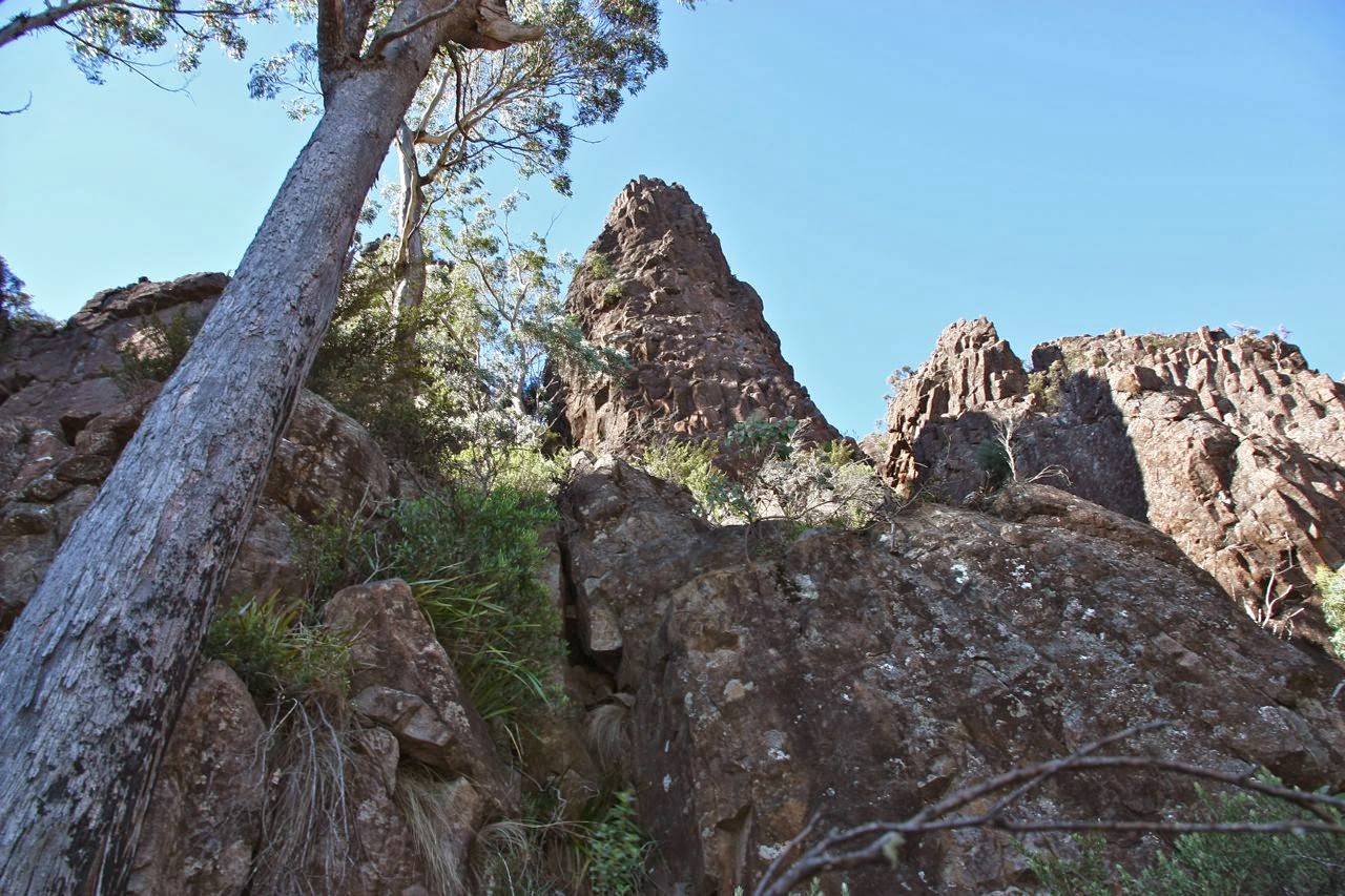
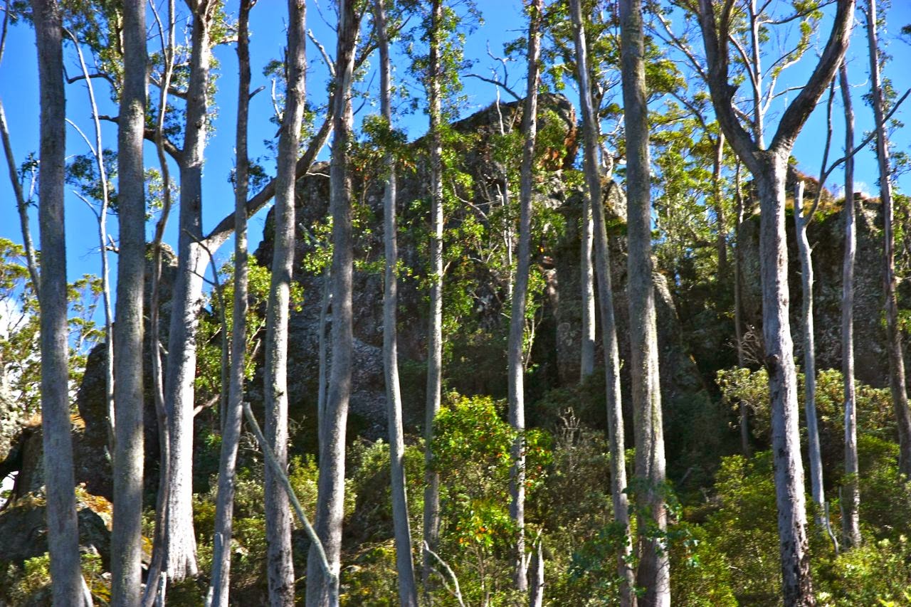
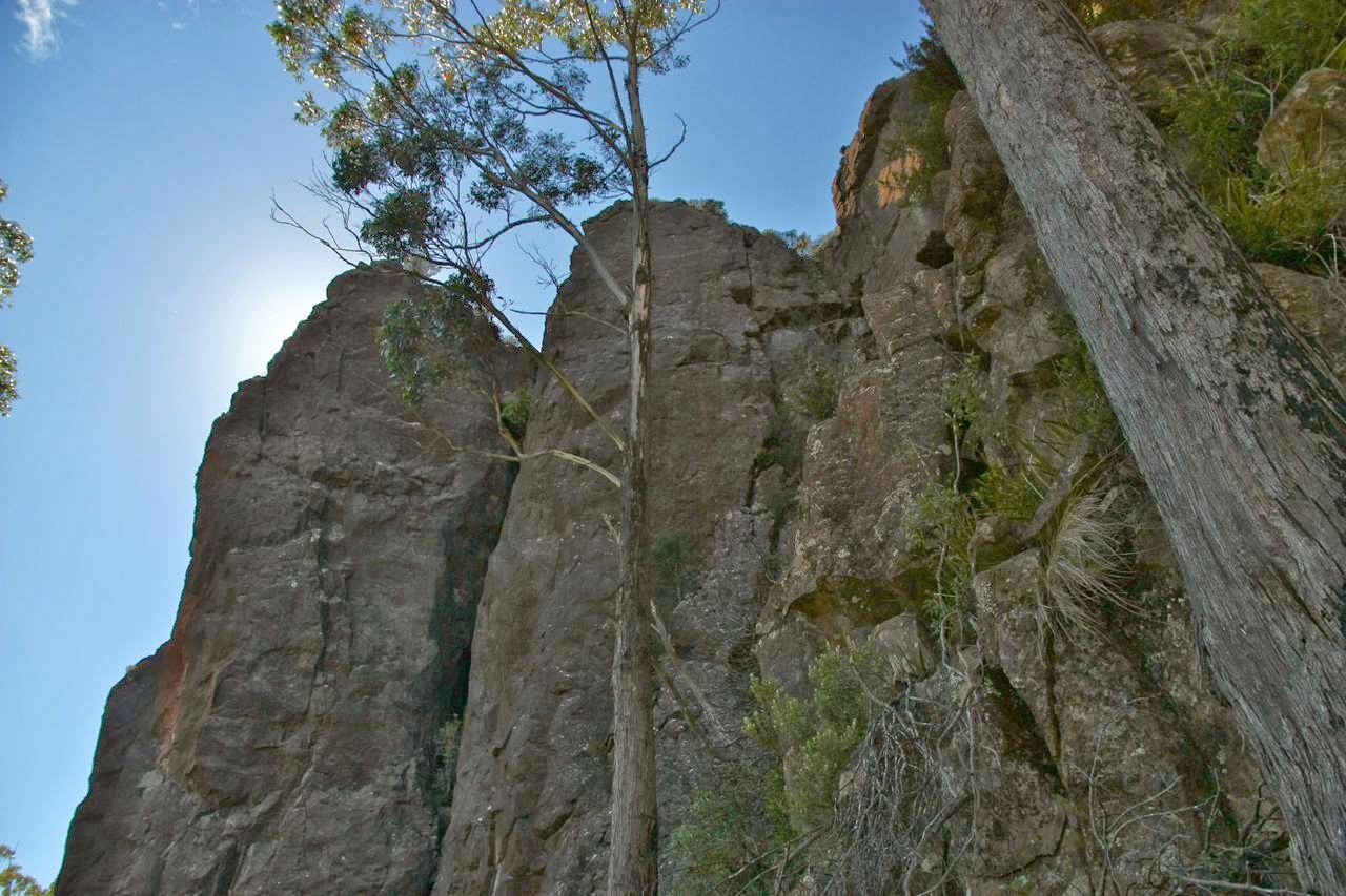
Our view from underneath. One of these MUST be the summit. 

We treated ourselves to a burger with the lot by detouring to Zep’s in Campbeltown (I really wanted one of those on Monday after the Western Arthurs, but we went through too late. This was my “make up” burger).

Then again, one of these could be it ….

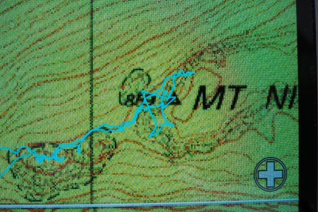
A screen shot of the gps record of our attempts on the summit. According to this we were there, but, alas, I cannot lie. We were very near yet a little too far. But you can see from the squiggles, we had fun.
What has kept this wonderful mountain off the radar for so long? It’s absolutely brilliant, with or without your summit points. I will be back to conquer it later.

(I did touch the parts of a trig, but it was one some angry giant had hurled to the valley below in his wrath.)

Western Arthurs 2014 Mar

Western Arthurs 2014 


In the 1320s, Petrarch wanted to climb Mt Ventoux (Windy Mt), as he was curious to see the view from the top of that mountain that dominated the landscape where he was situated at the time. In those days, climbing a mountain was not regarded highly, so he tried to justify his actions by precedent: King Philip of Macedon had climbed Mt Haemus to satisfy his curiosity about the view, so why couldn’t he, “a young man who holds no public life” do likewise?


Having assuaged his guilt at seeking to admire something so tellurian as a mountain, Petrarch’s next problem was to find a suitable companion. His words, written 700 years ago, mirror my own concerns when choosing a fellow climber. He wrote: “I now began to think over whom to choose as a companion. […]. One was too apathetic, the other over-anxious; one too slow, the other too hasty; this one too gloomy of temper, that one too gay. One was more simple, the other more complex than I should have liked. This man’s taciturnity, that man’s loquacity; the heavy weight and obesity of the next, the thinness and weakness of still another were reasons to deter me.” His solution was to choose his brother.


Like Petrarch, I have had a plan: namely, to return to the Western Arthurs and climb the peaks I walked past last time. Like Petrarch, I too would normally choose a family member. But this trip was too ambitious for my husband; my first-born daughter has a baby to mind; and my second-born daughter not only lives far away, but never has any time free for such extended trips. Meanwhile, my venture was too dangerous to do solo. My plan got put on my queue of other similar plans with problems.


Imagine my delight when I received an email from a new climbing buddy asking me if I would like to do the trip I had been forced to postpone. Excitedly, we made our plans. We’d climb everything as far as Pegasus (which I had already climbed) and then, on the third day, descend to meet up with our Pandani club friends and climb Mt Robinson with them. My husband would come in with the Pandani group.
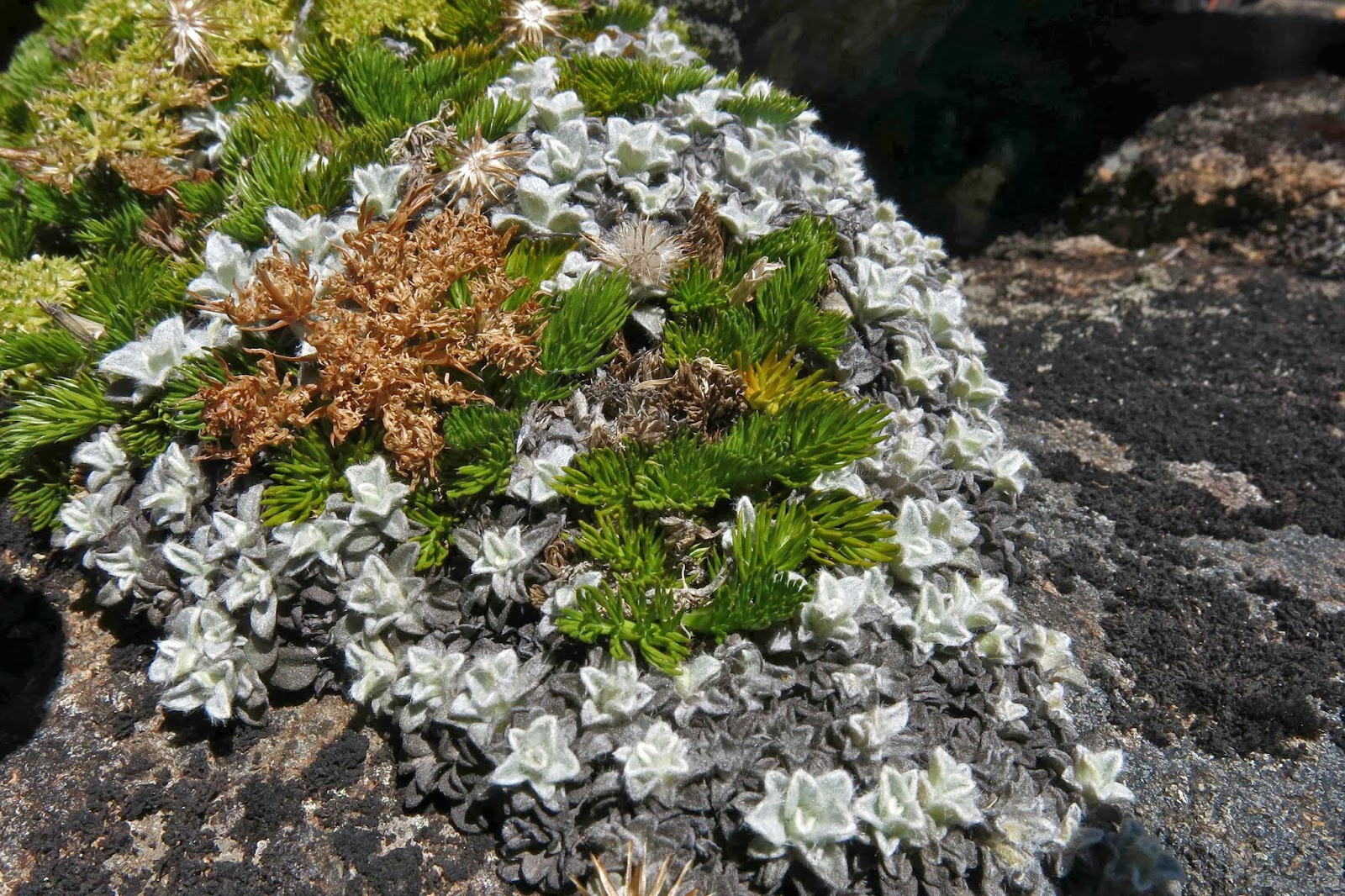
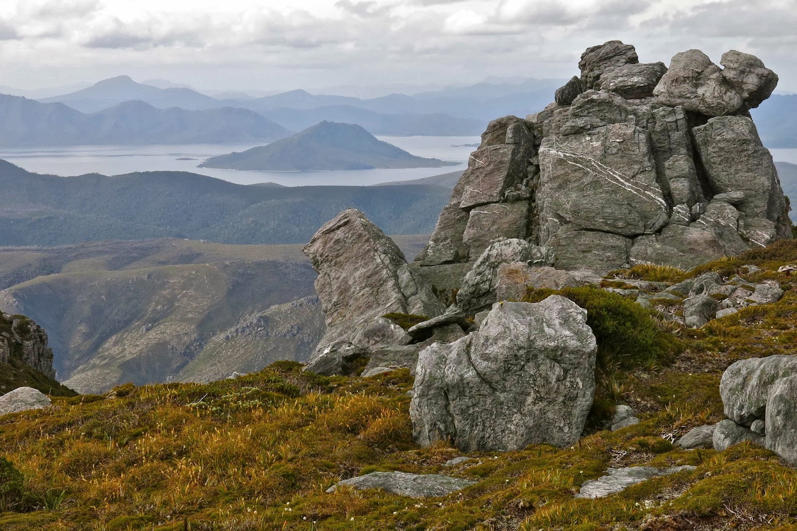
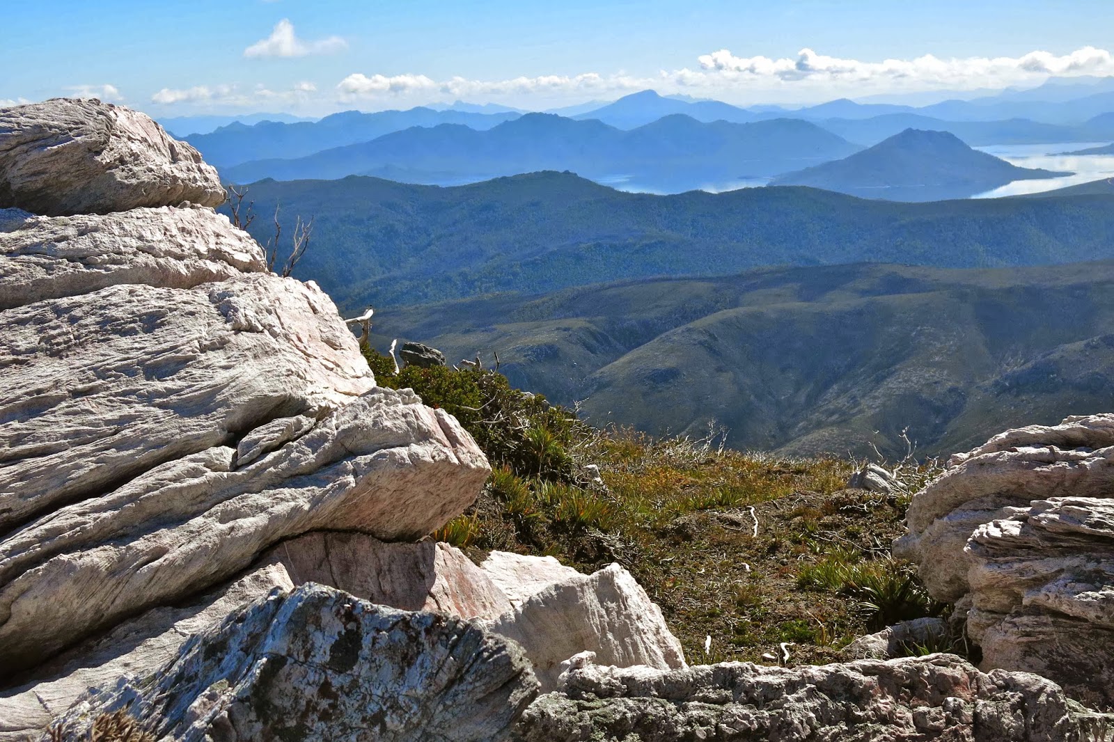
I have my old photos; I have seen those of others. Nothing, however, can quite succeed in conveying the wonder and glory of the view that begins near the top of alpha moraine and continues with you as you delight your way along the ridgeline of the range. It’s not just that you can see “forever” (so it seems), or that the mountains that form layer after layer of graduated silhouettes are so shapely: part of the allure is from changing focus from infinity to macro and still finding wonder. For me, the rocks are particularly appealing. Some are piles of pancakes; some have been twisted and warped, while others jut sharply into the sky. Some are soft grey, others pure white; some have a hint of pink.

Unfortunately, most of the wildflowers had finished for the year, but stunted Eucryphia (leatherwood) perfumed the air with their blossom as did another (unidentified) regrowth plant, which seemed to project its fragrance afar like a ventriloquist.

There were some Blandfordia (Christmas Bells) in flower, and an orchid or two; the Drosera (sundews) had huge flowers, and the darling Utricularia dichotoma (fairy aprons) spotted the dark mud with their delicate mauve beauty. Up high I saw a few Ranunculas. Meanwhile, the approach of autumn was heralded by mycena and hygrocybe fungi. Near and far, it was all magnificent.


The other thing I love about mountains is that you have to climb them, and I adore the act of gaining height: I find it exhilarating (and hate being asked to stop before I reach the top). In the Western Arthurs, there is an endless variety of lumps and bumps. It’s one of the best playgrounds imaginable in its perfect provision of “structures”and vistas.

Once we were up on the ridge, forward movement was retarded by much clicking of cameras. Who can resist, with sparkling, tannin-coloured, white-beached lakes below; a cornucopia of other mountains around, and the blue of the much larger expanse of Lake Pedder to the north, and Bathurst Harbour and Cox’s Bight in the southern distance? We only climbed two mountains that day (Hesperus and Capella Crags), but were very satisfied as we descended to Lake Cygnus.

Day 2.

The next morning I was up before dawn and reclimbed Capella Crags before joining John for breakfast and the day proper. The sky became bluer as the day progressed, and we feasted on more wonderful high views to eternity. After Hayes and Procyon Peak, we tried to do the back route to Orion, but after 49 minutes gave up in a scrubby gully that looked as if it could lead to the summit, but gave no guarantees. For most of our route, drops into Square Lake were huge and precipitous. I was worried about ruining my camera if I fell in, but John assured me I’d be dead by the time I hit the water, so wouldn’t be bothered by this detail. Later, from Square Lake, we could see that the gully did not end in an unclimbable cul de sac, but we couldn’t waste the time experimenting when there. Off we set up Orion on a longer but easier way. It had been fun being adventurous and forging our own route.

Mission accomplished – on top of Sirius, our last mountain

I think the views from Orion were perhaps my favourite, although I did love Sirius as it marked our “mission accomplished”. It was with a jubilant spirit that we waltzed our way back behind the mountains, popping out at various saddles that offered views to the north, and wended our way home to Lake Cygnus.

Day 3.
Once more, I was up before dawn, donning warm clothes and grabbing my camera to race to my chosen saddle window to see the sun rise behind Mt Anne. There seems to be something faulty about my hypothalamus, as I have trouble recognising satiety, so kept climbing, finding myself eventually on Hayes (but photographing while I went). This dawn was my favourite sort – soft pink tones over fluffy cotton balls in the valleys.
 After breakfast and a very leisurely decamping process (trying to avoid departure), we left our haven. Instead of following alpha moraine back, we pursued a spur leading not quite 180 degrees from it, and connected up with the Port Davey Track much further along. This spur is marked on old maps as having a route, but we found no trace of one. The fire of a year ago burned the vegetation out, and you can still smell ashes. Yabby holes abound. We got very black indeed. It was great fun freelancing over the hills and far away, choosing our own sub-spur until we reached the track again. Later that afternoon, the Pandani Group arrived, having walked in from Scotts Peak Dam. Everyone except wusses swam. I went to bed disguised as night.

Robinson 2014 Mar

Is this the best washing up sink in the world?
Mt Robinson.

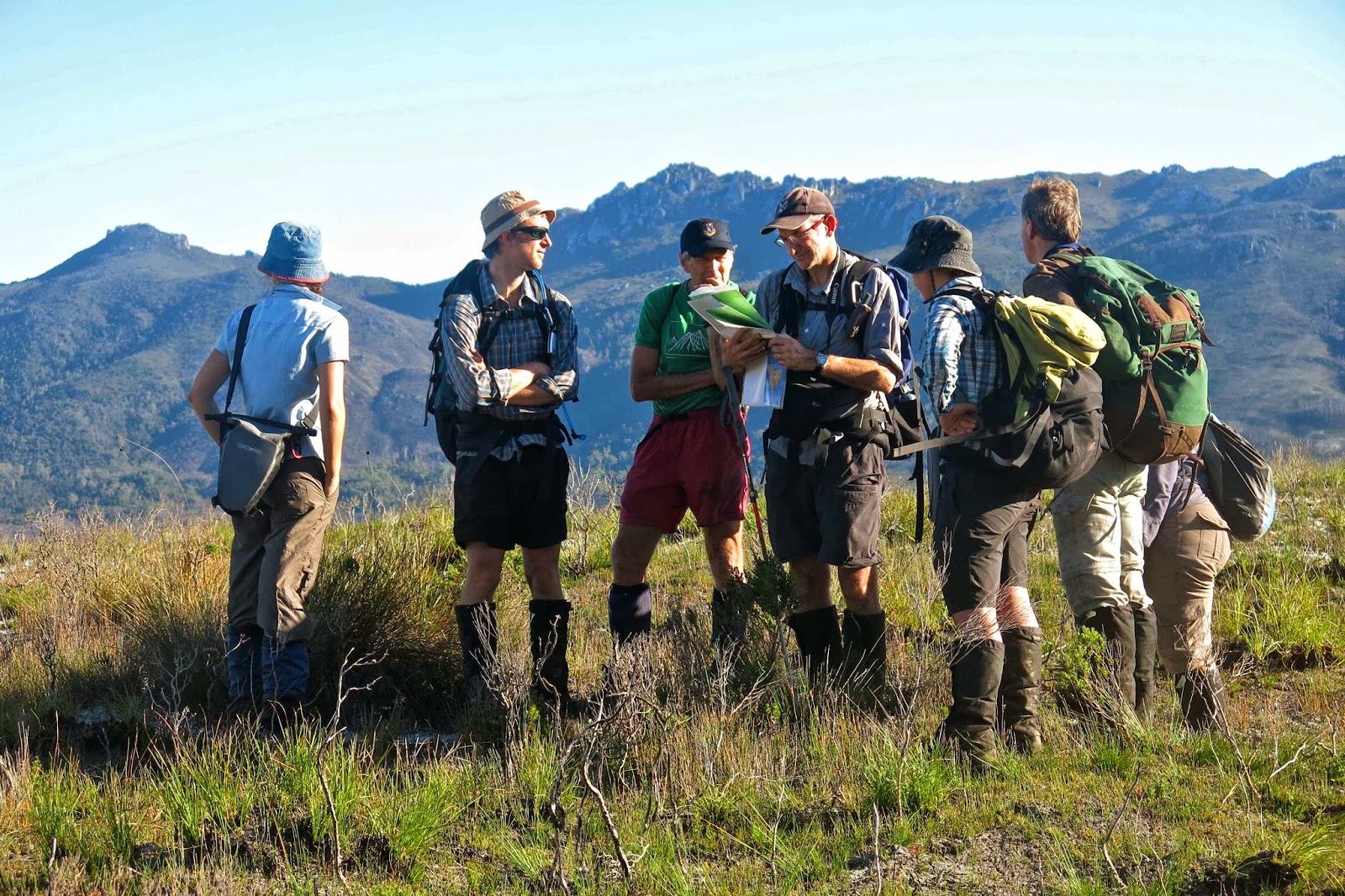
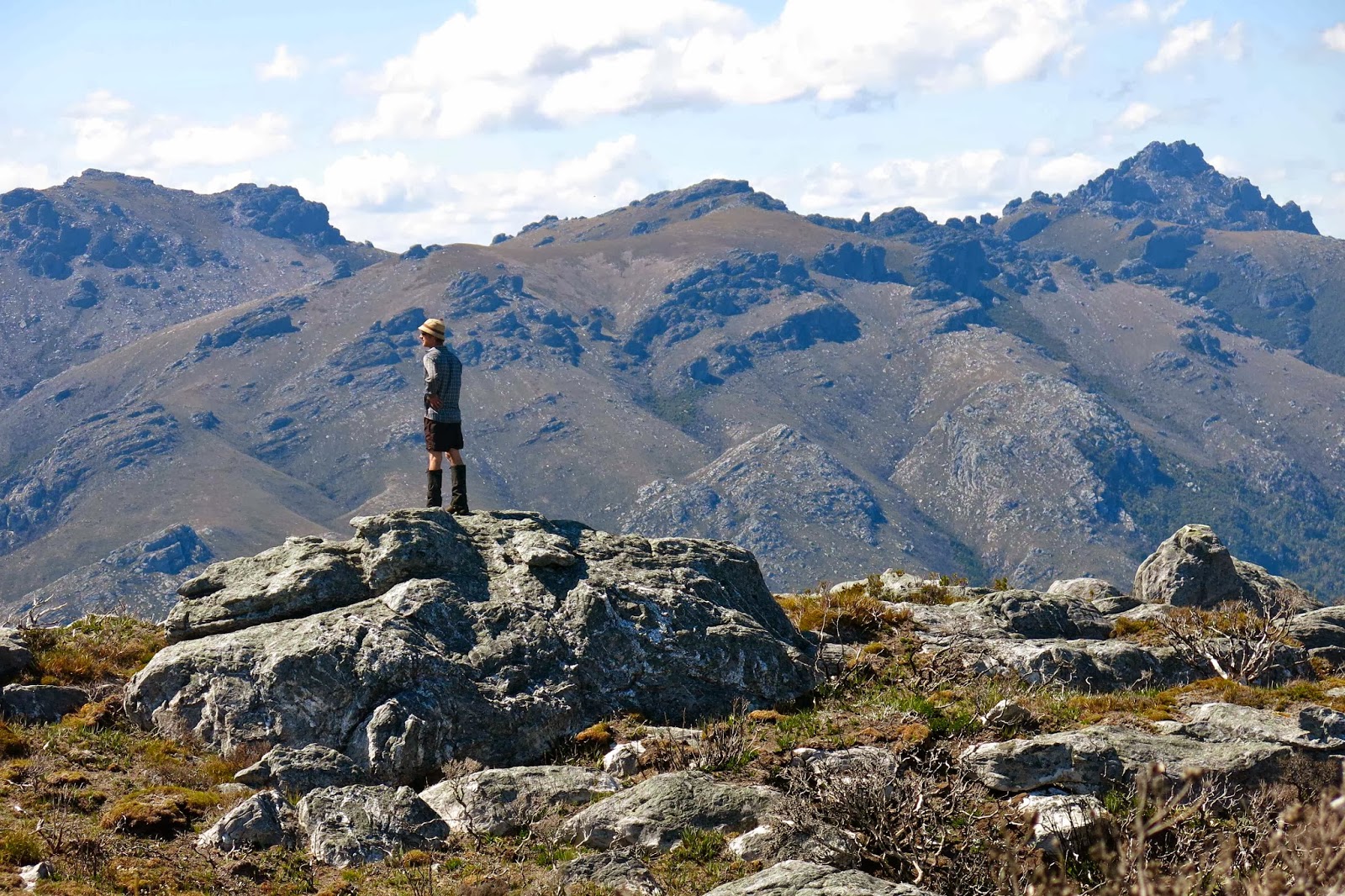
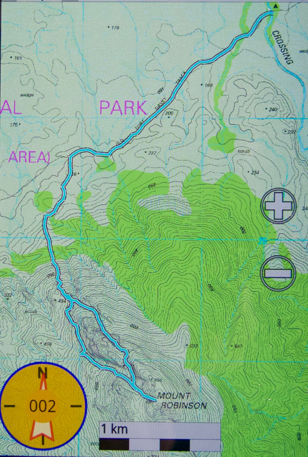
The group ambled along on our way to Mt Robinson, walking and talking together until we reached the place where the spur we wanted headed up the mountain. The map, showing a nice smooth spur, omits the unclimbable cliff faces that preclude many possible routes, but we followed up the gully leading to the summit, whilst being on the less scrubby (burned trunks) spur beside it, keeping an eye on the gully. On the return journey, we went to the then right side of the main cliffy obstacle, and had a fine route down. The views from the top were superb, and no one seemed to want to leave until reminded about swimming in the river by the tents. (Two of us had descended from the Western Arthurs to join this group who had walked in using the Port Davey Track. See natureloverswalks.com/wester-arthurs-2014/ if you want the first three days of this trip).

The Walk out.
My pack was substantially lighter after I’d eaten so much – or so the scales at home said – but I found it felt just as heavy as on the first day, which is sad. It ended up taking until nearly 4 pm by the time everyone had returned and was ready to snack in the carpark. The salted crackers went down very well (although I was hanging out for chocolate cake or Devonshire tea after five days in the bush).

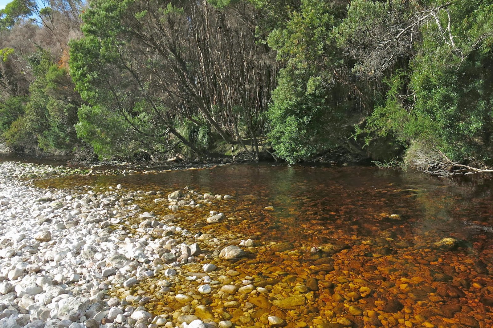
Crossing Creek, our base camp.
I had picked up a head cold and was not well enough to drive even at the speed limit, which dragged out the final Hobart to Launie stretch, but we made it home alive and with a packload of wonderful memories.
9.2 kms +895 altitude gain = 18 km equivalents for the Robinson day.

Snowy South 2014 Feb


Mt Snowy South Feb 2014
I have heard a lot of different stories of groups who tried to summit Mt Snowy South and failed, so I was not full of confidence as our nice small party set out, but the rainforest was so beautiful, it hardly mattered. Meanwhile, the climb to Lake Skinner helped clear my head from the overdose of caffeine I’d had to make sure I stayed awake, having got up at 4.30 in order to join the others in Hobart on time – and the conversation was fun. Up we climbed.

Lake Skinner surprised, as it was a beautiful blue that I associate more with the glacial lakes of Europe than with Tassie.

After morning tea by the lake, we set out to finish off the climb, up onto the main ridge and over the boulders to the summit, out of sight at this stage. After a short amount of time two of us found ourselves alone at the front, and decided to have fun moving nice and quickly up the boulders, chatting while we went, but not stopping – just a nice steady but satisfying pace. It was very enjoyable indeed to be allowed to go at our own pace to the top and just meet the others there. We were both exhilarated by the climb and the dancing on the rocks of the ascent. When we reached the top, neither wanted to touch the summit before the other, so to maintain the non-competitive nature of what had taken place, we held hands to jump onto the final summit rock, ensuring we touched it simultaneously.

A summit is, after all, a summit, so of course it was good to be up there in the grand arena with its sense of space. However, I enjoyed the colours, textures and shape of the boulders as much as the rather murky vista. In terms of view, it would not rank in a list of my all time favourites. We all, of course, enjoyed our lunch break surveying the scene, but for me, this particular mountain will be remembered for the fun of the scramble to the top rather than what I saw once I got there.

More chatter filled the way down, bouncing again over rocks, descending past the pandani overlooking the lake and dropping further through the inviting green rainforest to the car. “Make sure you keep singing all the way home”, my new friends encouraged me as we parted in Hobart, having been told that that’s how I stay awake on long journeys. After five hours of solo driving (two and a half each way), my voice was quite hoarse as I pulled into our drive.

The Needles 2014 + SW Tasmania Feb

SW Tas and The Needles Feb 2014

Mt Anne in morning mist

Lake Pedder

 We had rather a funny day, in that the original plan, which we tried to execute, was to climb Mt Styx with friends. However, after waiting in a different spot to them for fifty minutes, and lamenting the fact that it was far too beautiful a day to spend outside the general store cum cafe in Maydena, we set off for the south west, deciding to show my Swedish friends around some of our most beautiful scenery.

Climbing the Needles

We had fun wandering over the hills and not so very far away in low foothills off the Folded Range before doubling back and showing them the view from The Needles. It was not the first time I have climbed these, but it was the first time I have seen the view (or the mountain itself, for that matter. Last time I saw the flowers and a few shapes in the mist that might be rocks). It was wonderful to see the real thing.