Creekton Falls Track 2018 Bushwalking with children
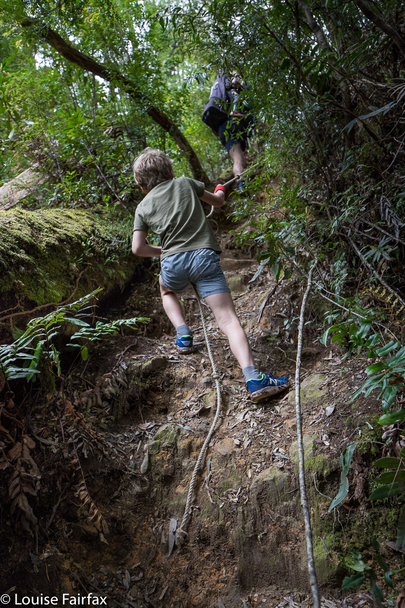
When we bushwalk with children, we see tracks – and matters in general – through new eyes. Not only do the children open our hearts afresh to the glories of nature as they look with wonder at the beautiful world around them, but we also see how high steps actually are, or how difficult some obstacles are. This does NOT mean we want them removed, oh bureaucrats sitting in your offices with even surfaces and life reduced to three easy manoeuvres: it just means we become more newly aware of the challenges (good ones) they pose, and we learn patience as we watch the children struggle through something we find easy. Such efforts teach them resilience, stamina, and determination. They help make them fit and stimulate the brain.
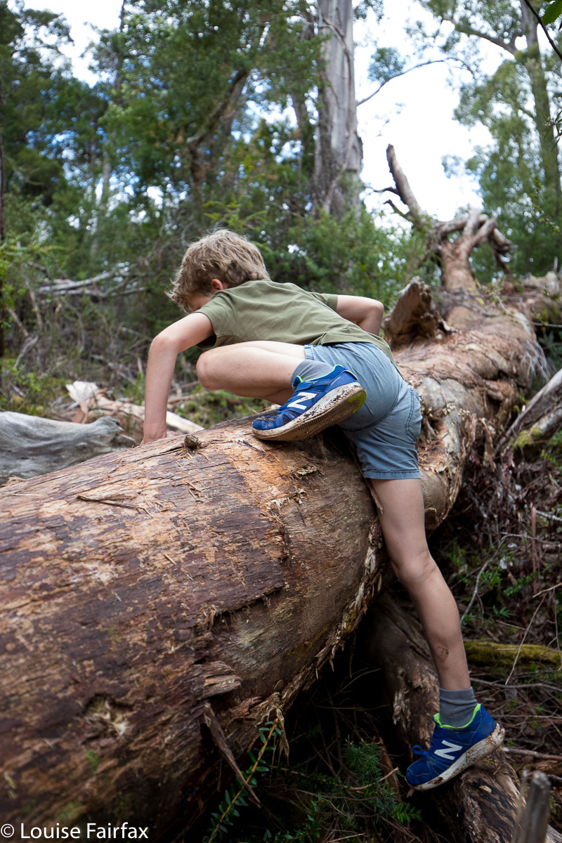
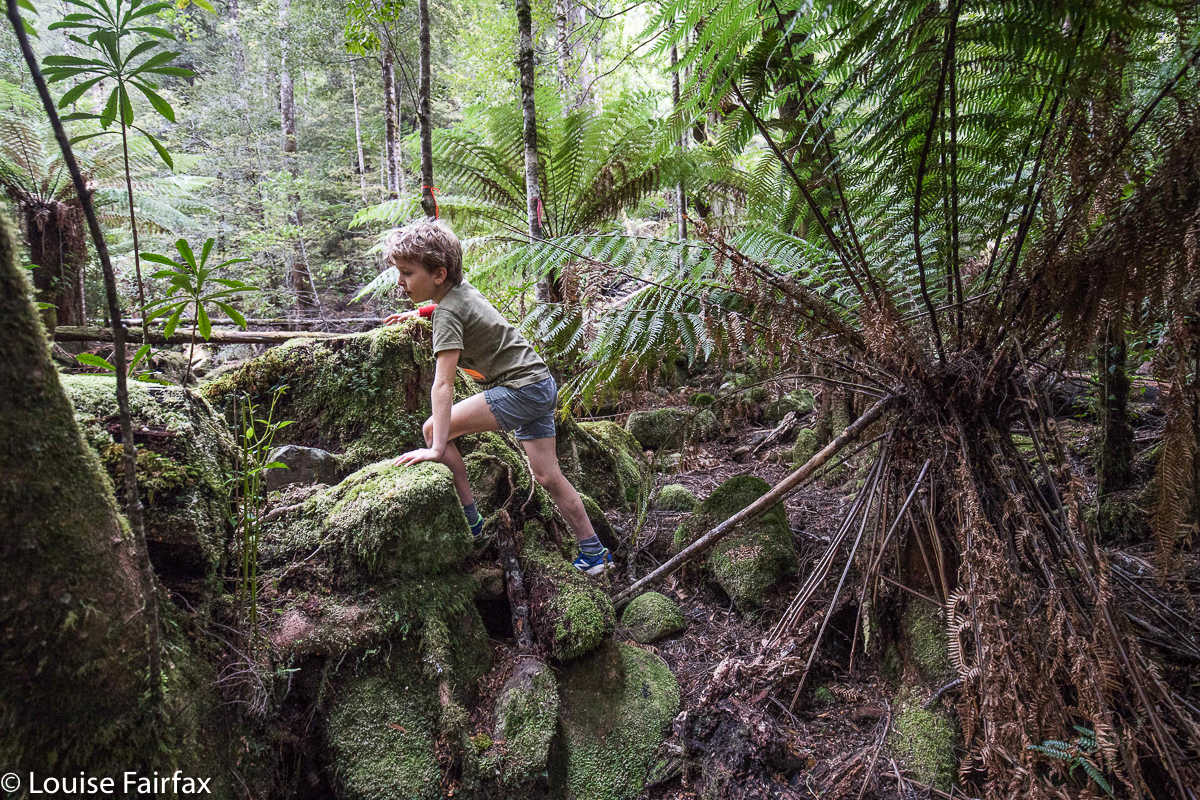
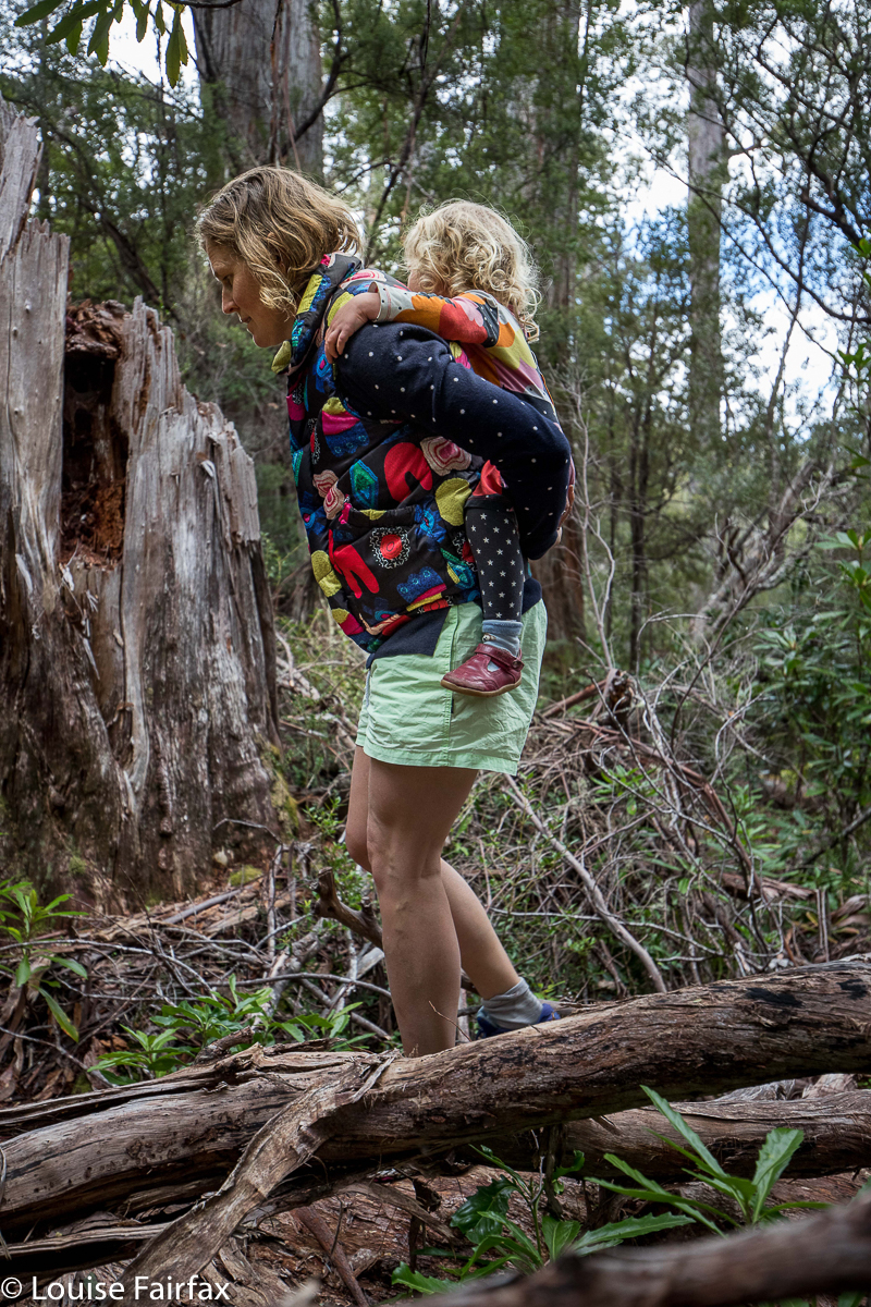
Children who go bushwalking are not going to grow up into passive, nanny-reliant blobs. Gussy rose to the challenges posed by obstacles too high to go over, low to go under and enormous to go around all by himself, and was thrilled with the affirmation that conquering them gave him. His dad, being 6′ 2”, possibly had more difficulty, actually, and Abby went her required “number of kilometres to match her age” rule, and then hitched a ride on mum’s back. Her mother’s feat in dodging dangers whilst carrying a rather heavy, mobile sack was extraordinary.
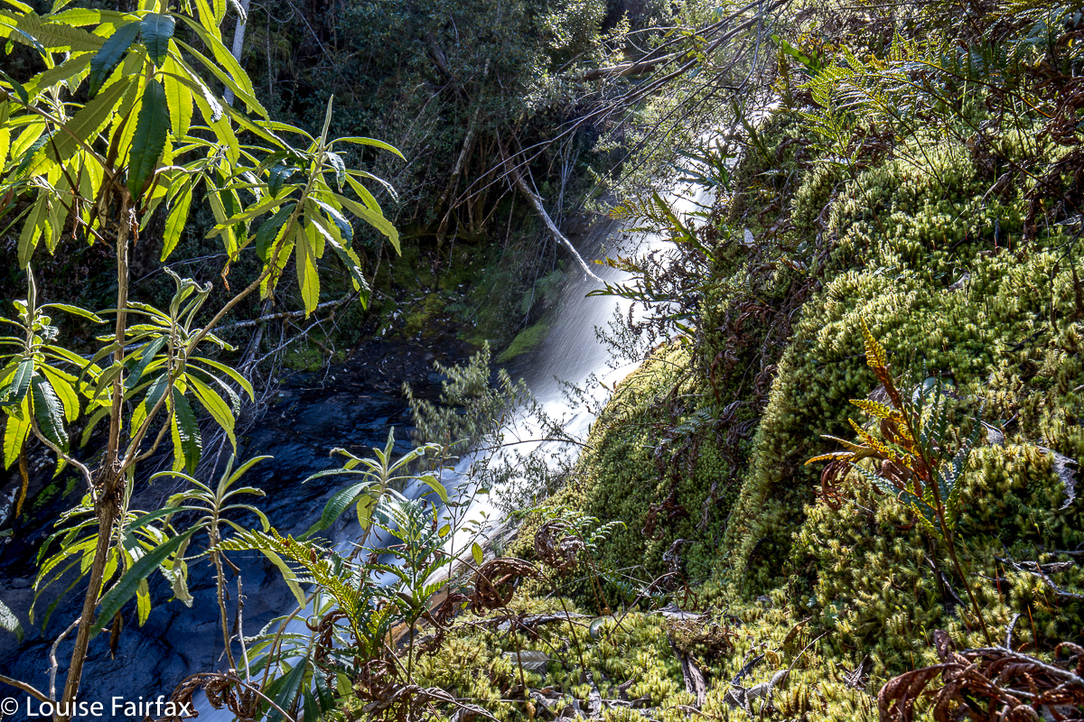
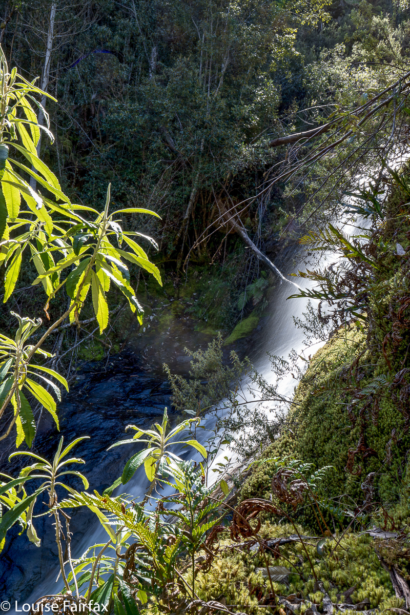
 Normally when I bushwalk, I do not take all that many action shots. I have crashed my sternum against my camera enough times to make me cautious with regard to my former methods of camera attachment. However, today I made an exception, and photographed the expedition rather than the goal. If you want to see the actual falls, please turn to
www.natureloverswalks.com/creekton-falls/
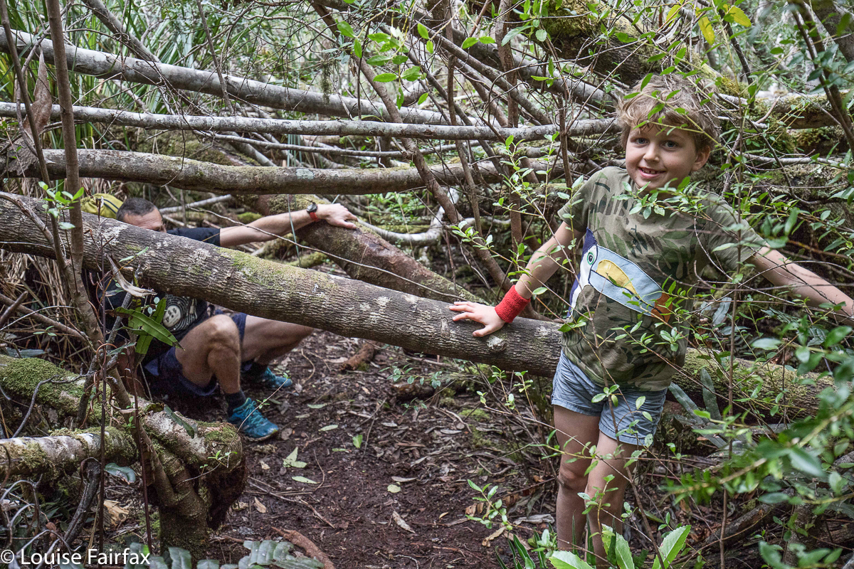
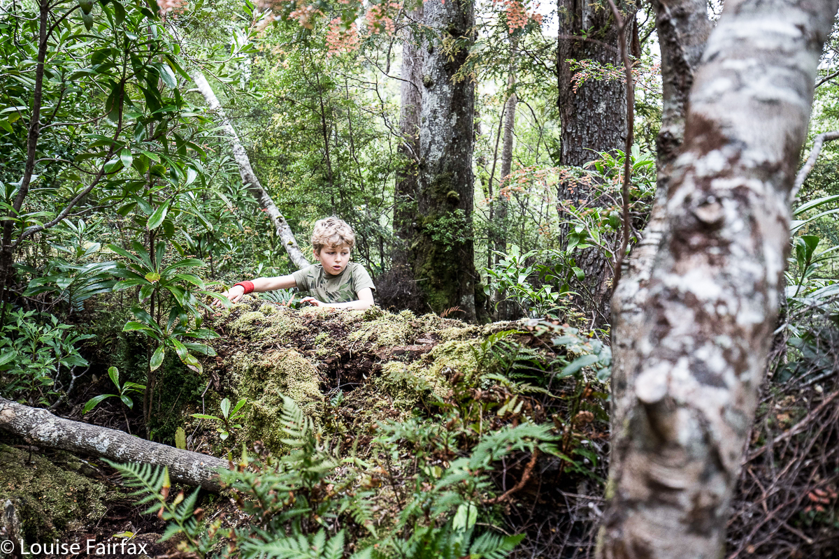
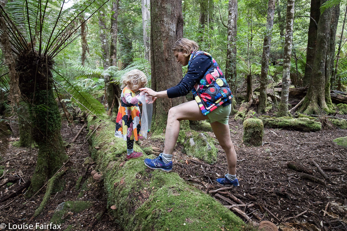 These photos are here to give people an idea of what the actual track (past Duckhole Lake) is like, and to give parents encouragement to get the kids out there in nature. It is so much better for them than staring at screens. Nature provides for them the very best playground. It is not sterile and smooth like the risk-free government ones: it is far, far better. I am so glad the government is too busy and too impoverished to interfere with tracks like this and dumb them down to the lowest common denominator, as they do with so many of the more popular tracks.