Split Rock Falls, Shower Cave Falls, Cleft Rock Falls 2018 Nov

Split Rock Falls, Shower Cave Falls, Cleft Rock Falls 2018 Nov
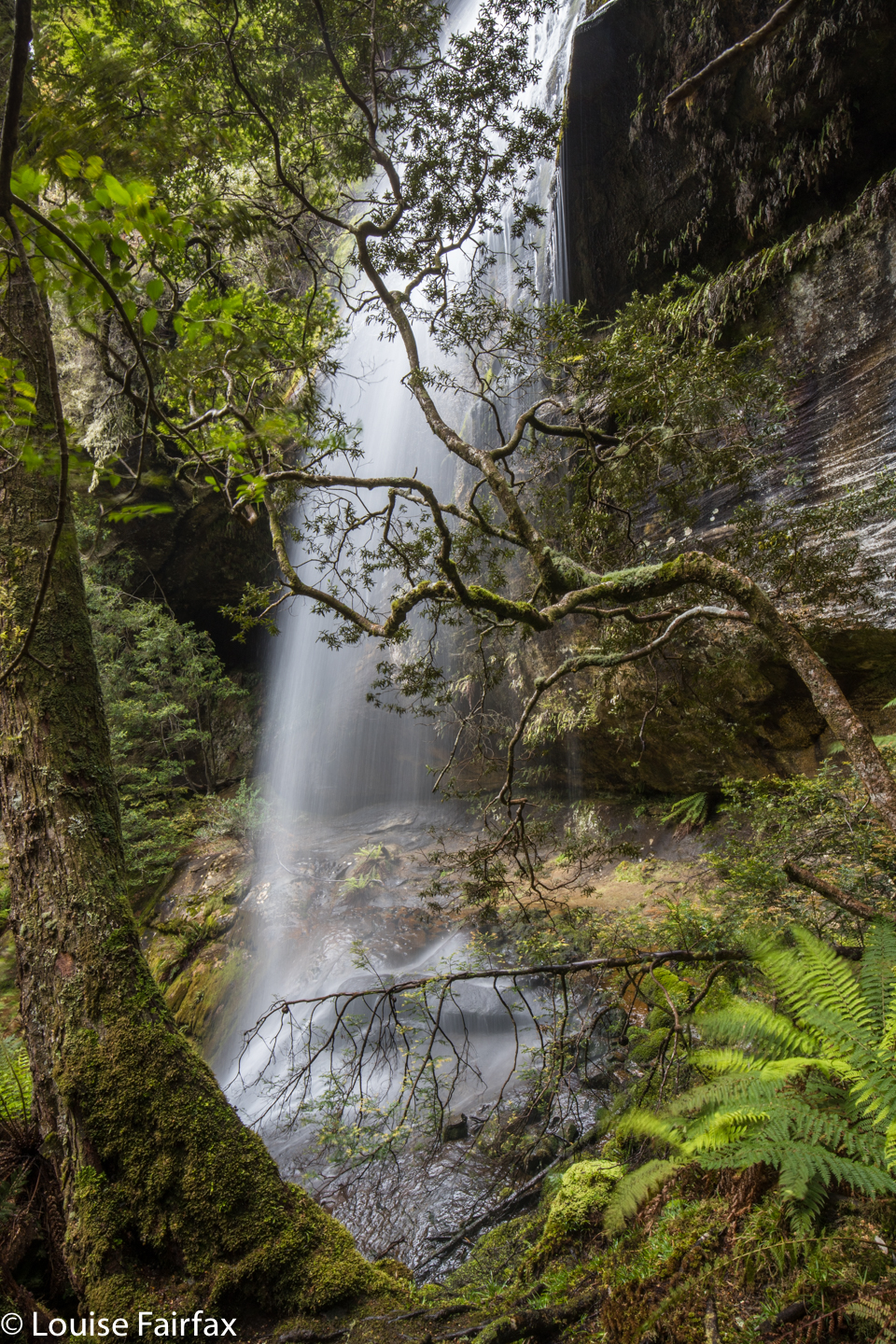
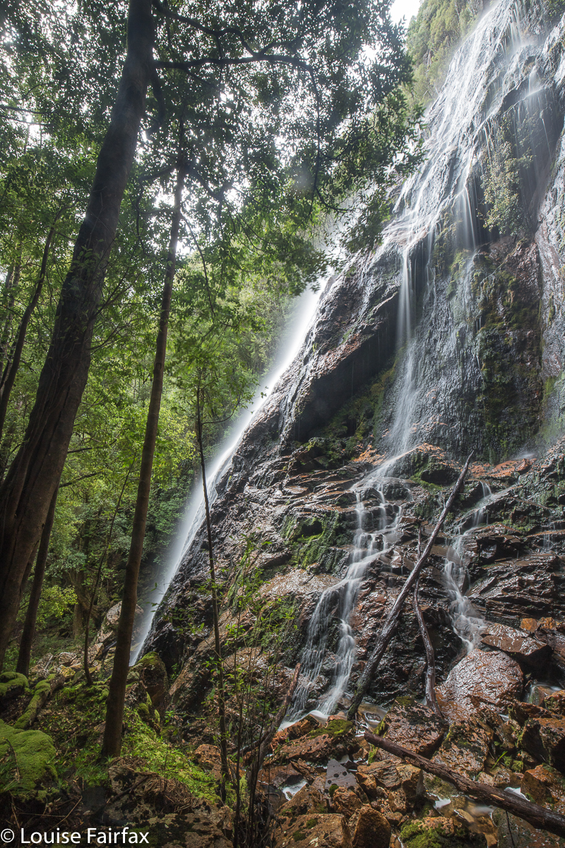
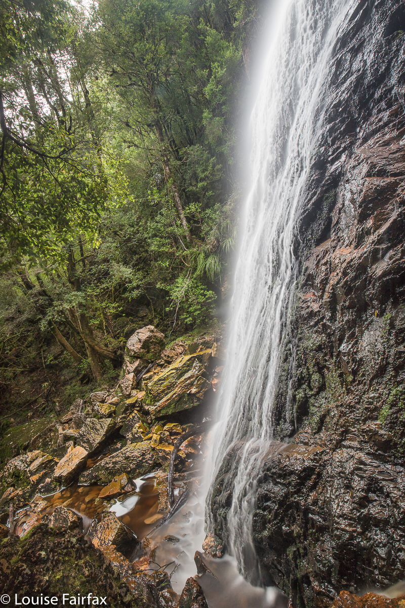
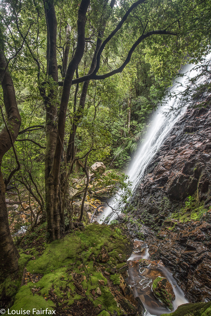
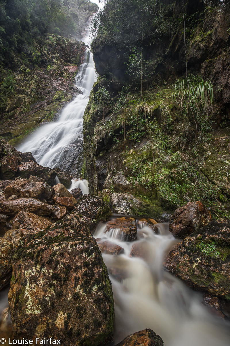
Split Rock Falls (Cleft Rock Falls) 
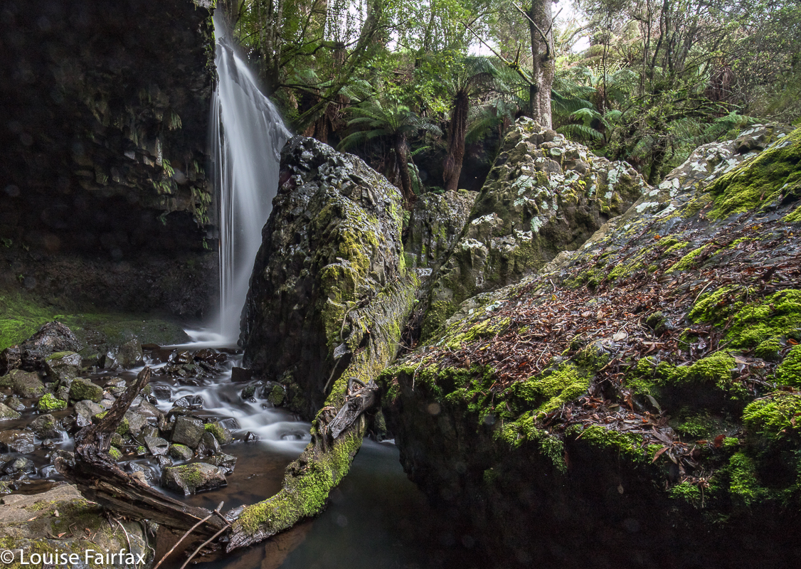
I have caught a cold (sob), so didn’t feel like running, and thus made the excellent decision that I should substitute waterfall bagging for running, and that my chosen ones for the day should be Shower Cave Falls and Split Rock or Cleft Rock Falls (these falls go by both names: the map calls them Cleft Rock Falls, but locals refer to them as Split Rock Falls, ignoring the map. I’m covering both bases for search engines here). I chose these, as the map suggested that, although the climb was very steep, the distance was short, so it would be a good, but not overly long, workout. I was right. It took me 22 minutes to get from the car to Split Rock (a fantastic hunk of rock if ever I saw one); another 6 minutes to the base of Shower Cave Falls, and I was at the top of Split Rock Falls in a total of just under 38 minutes: a perfect workout. And then the photography began. As with yesterday, I took 90 photos, which is a big editing job for later, but when the area is so magically beautiful, it’s just very hard to stop.
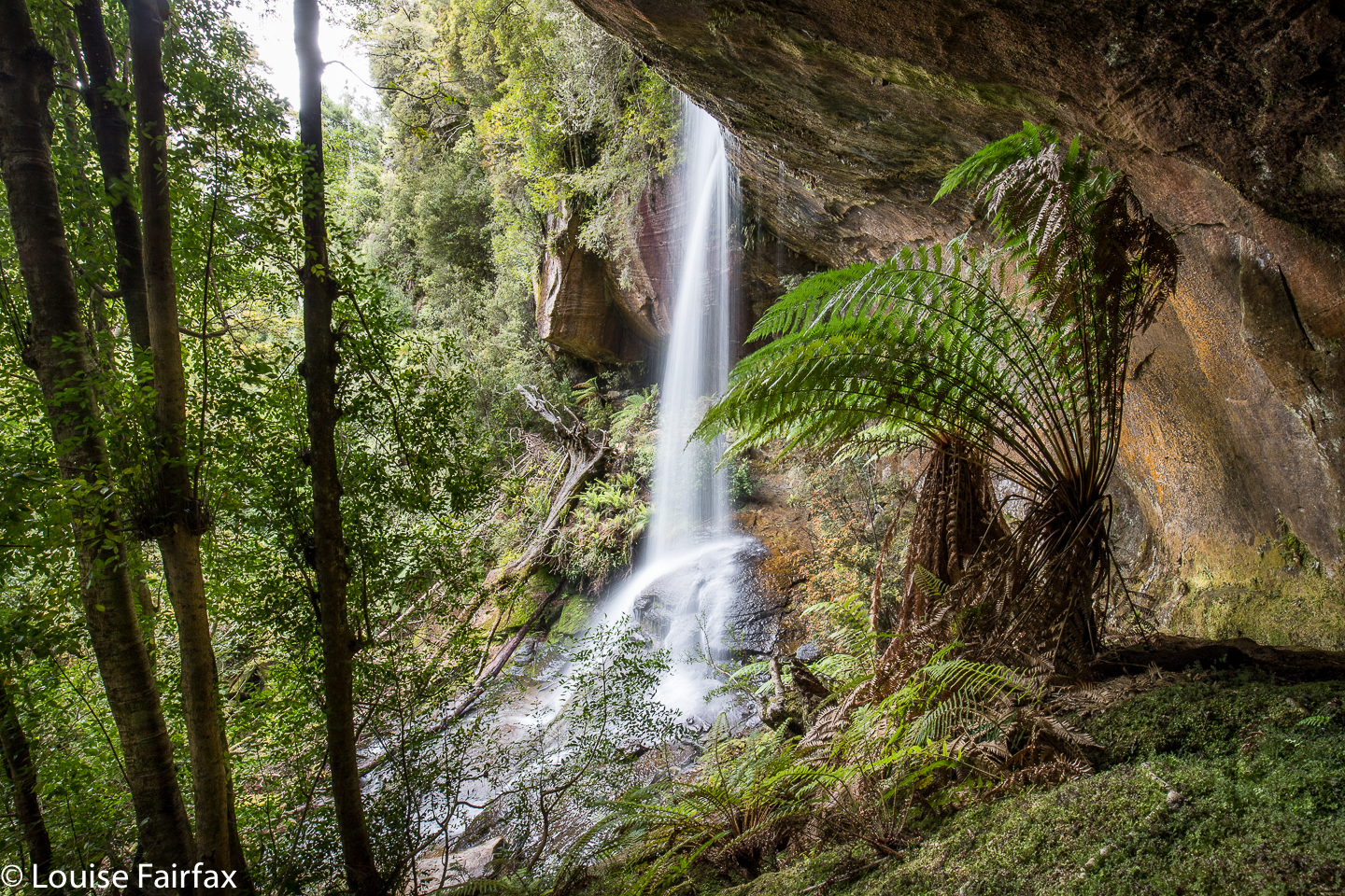
Shower Cave Falls
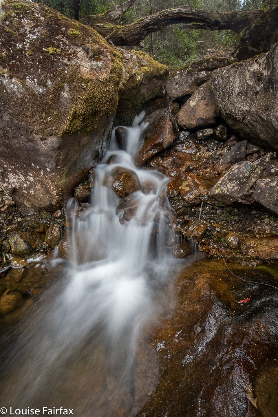
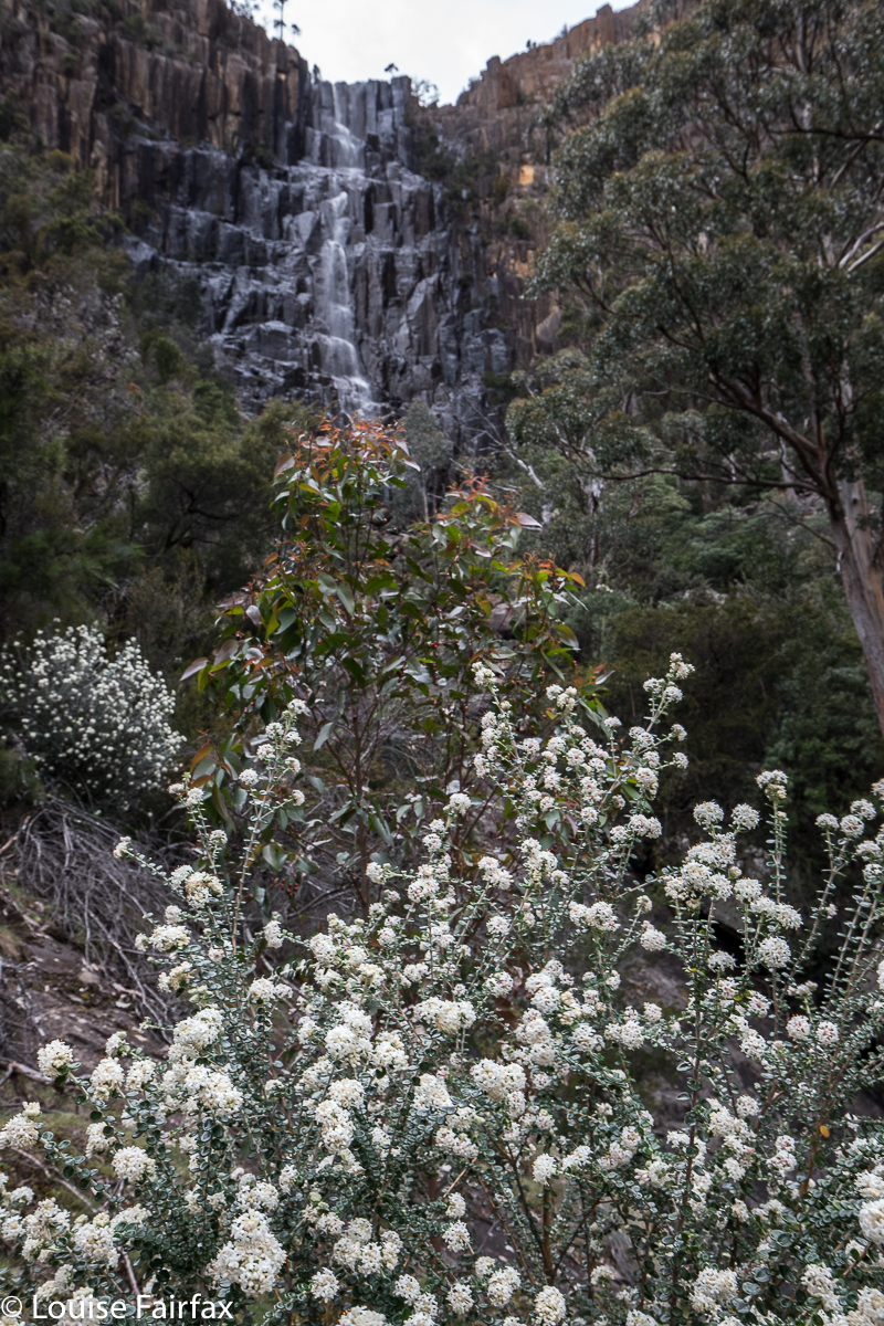
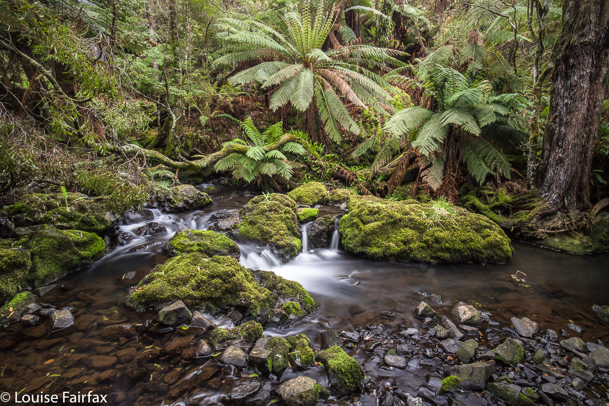
As said, I began my photography at the end of the waterfall line, as it were (although I am sure there are more up higher which I will return to explore one day. This was just a short recce): with the higher of the two mapped falls being Split Rock or Cleft Rock Falls. I had no idea whether the track that my very out-of-date map has was still there, or if it went near enough to the falls to see them from the track. The answer is, the track goes all the way to the upper falls, and even beyond, in a kind of loop returning through the middle of the Split Rock. The star on the Waterfalls of Tasmania website for some unknown reason is at Split Rock, and not at the falls, which are further on, and higher up. List maps has them pretty accurately marked. So does my map below, where I have marked all four waterfalls I saw with a yellow waymark. The position of these top falls, in particular, their angle relative to the wind, meant that there was quite a  strong air current in their vicinity; they chucked out quite a bit of spume at me, and all the ferns were doing a merry dance, which made long exposure photography tricky. Things were much calmer lower down. Despite these difficulties, I stayed there quite a while, surrounded by mosses and ferns and humungous boulders, all green and fleshy and soft. After a while I ran out of excuses to stay, so packed up my gear and began my way back down the slope. I felt so sad to leave. The time gap between Shower Cave and Split Rock falls was 8 minutes up; 9 minutes down. Time for more photography.
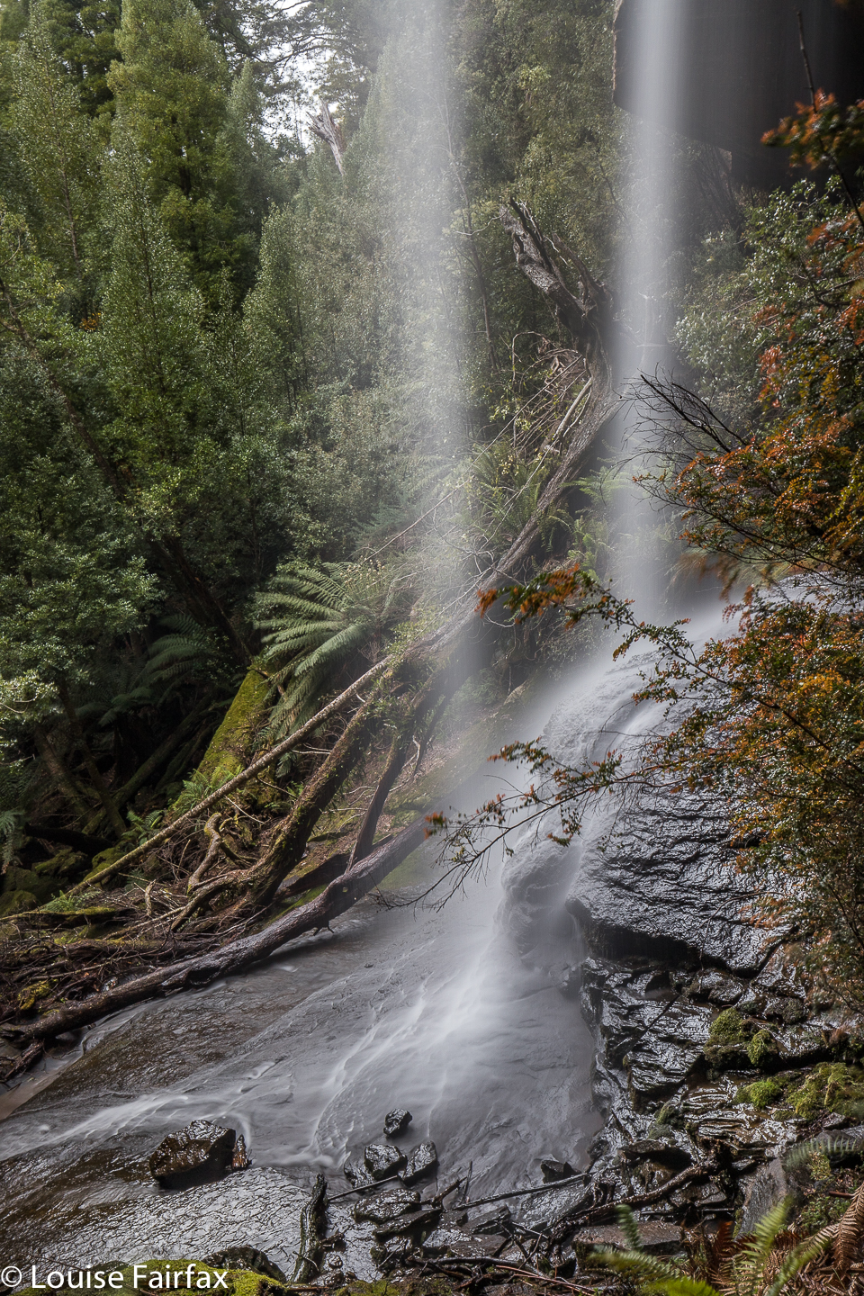
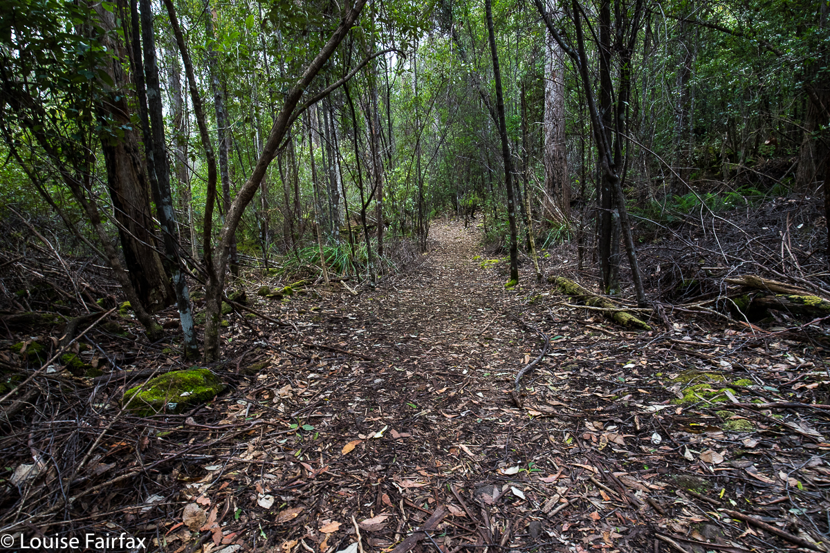
There was nothing tricky about the track, which I found to be well marked and extremely appealing, fitting beautifully into the landscape. I have, however, heard of people getting a bit lost, and / or failing to find their goal, so I guess I should add the warning to be alert and pay attention to the signs of the bush that tell you people have been this way. The path is very satisfyingly steep. It was 1.5 kms out, and in that 1500 ms, it climbed 300 ms: that is a 20% incline. That is steep!! (Note the WoT website incorrectly tells you this is a 6km journey. They have doubled the return journey. It is 1.5kms each way, which makes it a 3km return trip. Steep it may be, but not harshly or uncomfortably so, and the scenery is utterly distracting. The boulders and overhanging cliffs dwarf you, and are huge fun.
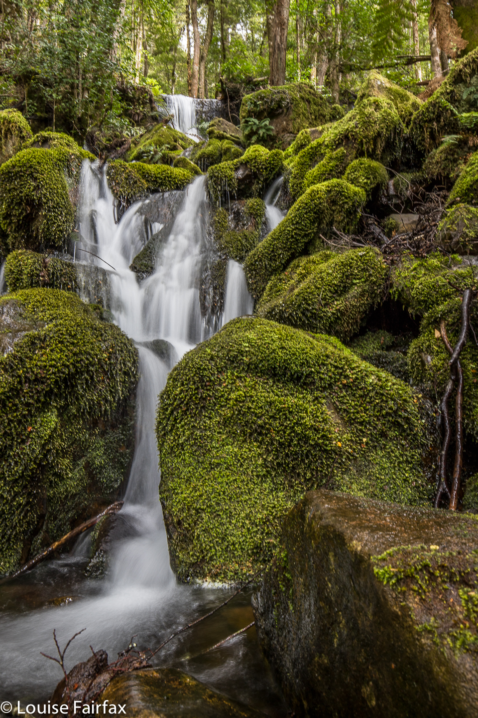
Unnamed waterfall short of Shower Cave Falls
The Meander River was also looking her most gorgeous self today, so after I had finished, I sat down there by the gurgling waters and had lunch …. and then did a spot more photography before setting out for home. I needed caffein to ensure I didn’t fall asleep at the wheel, so went to my new discovery in Deloraine, ‘Deloraine Deli’, and had a lime and raspberry tart for desert as well as an excellent cappuccino.
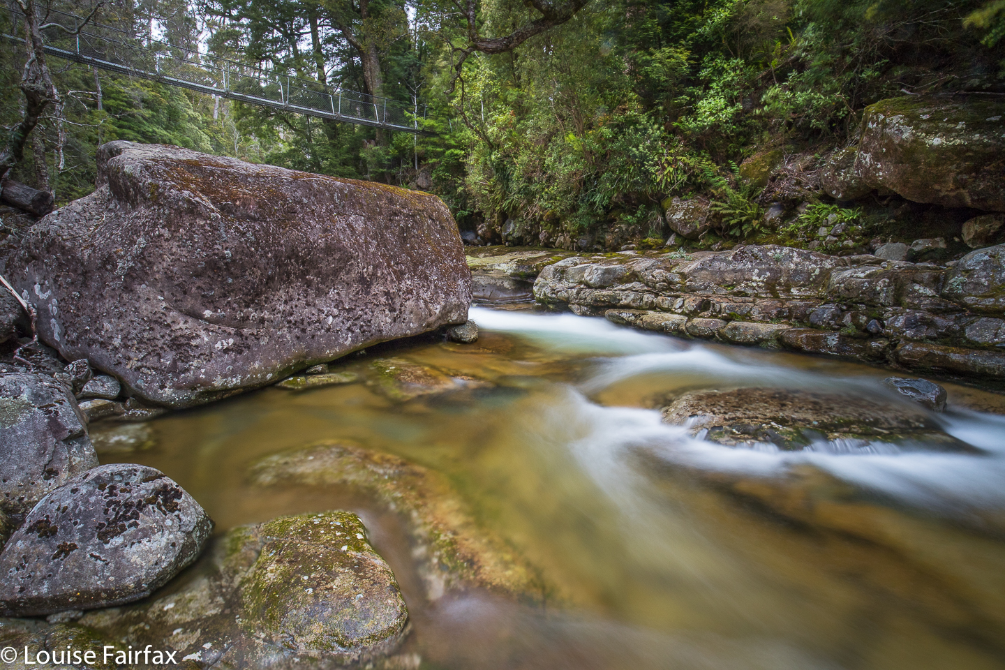

Suspension Bridge over the Meander River at the start of the walk
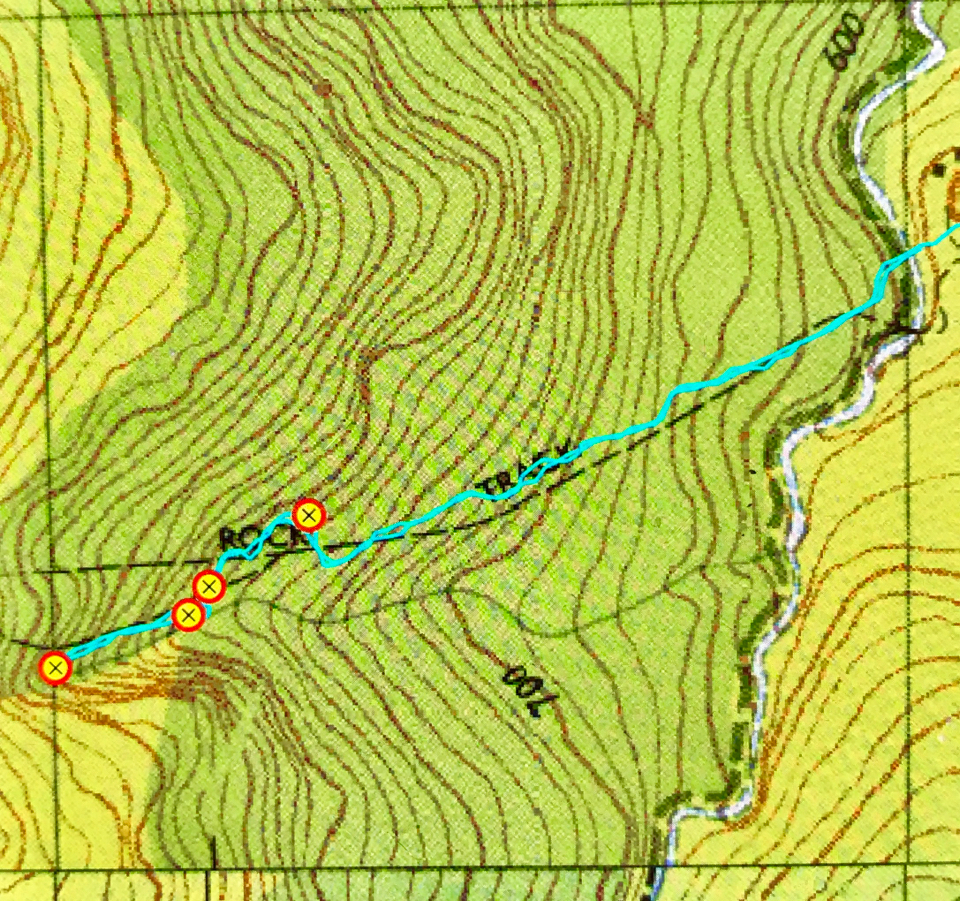

Map of the route. The starting point is the Meander Falls carpark, only, instead of heading up the hill to those falls, choose the little path on offer that leads down to the river. Split Rock has a blue signpost. From right to left, my waypoints are: Split Rock, unnamed falls, Shower Cave Falls and Split Rock / Cleft Rock Falls.
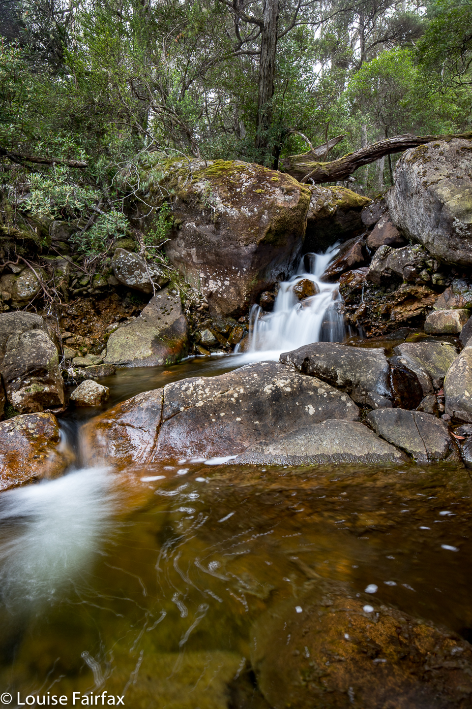
Weavers Creek Falls 2018 Nov

Weavers Creek Falls, Nov 2018

My visit to Weavers Creek Falls involved a huge discrepancy between expectation and reality. My expectation was: 30 mins to Nunamurra, an extra 10 minutes for the 11.3 kms Waterfalls of Tasmania (WoT) said from there to the falls; 10 minutes photography; 10 minutes back to Nunamurra; and 30 more home. Total time expenditure: one hour thirty minutes; a nice afternoon’s jaunt. Tessie agreed; we packed our bags accordingly, and set forth at 2.30 pm. It was 25 degrees, so there was no need for a jacket, but this is Tassie, so I tossed one in anyway. I was wearing shorts and a T-shirt. There was certainly no need for food. We’d be home by 4 and could have afternoon tea before doing a bit more work on mulching, shovelling, carting and sawing before dinner. Also, it sounded very easy: find the Discovery Trail, drive for 11.3 kms and, presto, there’s your waterfall beside the road.

And the reality? Well, the half hour to Nunamurra went well. When there, we saw a tiny blue sign off to the right to the Mt Barrow Discovery Trail, so took it, even though the web didn’t say to turn right here. First intersection: one half is closed, “Open only 10.30 to 12 daily”, the sign said. Oh. Is that where I was supposed to go? Who knows? I am already on roads that are not on the map and nothing is signposted. I decide to take the road that is open. Smart move. Up we go. Oh oh, another intersection. This time, I have two viable possibilities, but no help to decide which is the one. I choose the right option. My map doesn’t have Weavers Creek marked, let alone the falls. Up I drive, on and on. I choose an unnamed creek and ask it to please be Weavers. We drive across it. No falls. I stare at the map – that really was the most likely looking creek. I have a go at another. No luck. This is a silly game. More map staring. More asking google if it knows anything about this. Google tries to send me to America, but I have neither time nor inclination to oblige. I decide to go back to Nunamurra. I have now been driving an hour. Luckily my tank wasn’t low.

I ask the kind lady in the petrol station. She has never heard of Weavers Creek Falls, but suggested I try Weavers Creek Road just five minutes down the way; it might be a good lead. Well, it might indeed, but it has a no-nonsense gate, locked, with Private and Thou Shalt Not writ over the door. I didn’t go there. I explored further down the road to the Mt Barrow turnoff, for, after all, WoT said you were on the lower slopes of Barrow, and I didn’t feel at all near Barrow at Nunamurra. Back to the petrol station. A different lady was there. The first was possibly asleep by now. No, she had no information, and had never heard of the falls either (she was very nice about it, and told me to write to forestry). It was now after 4.15. “The sign says I have to be out by 5 or the gate will be locked. Is this true?” “Na,” she reassures me. I hope she’s right. “Stick to the main road”, she offers. I thought I’d already done that, but, I’m a persistent little beastie, so, back I go to try again.
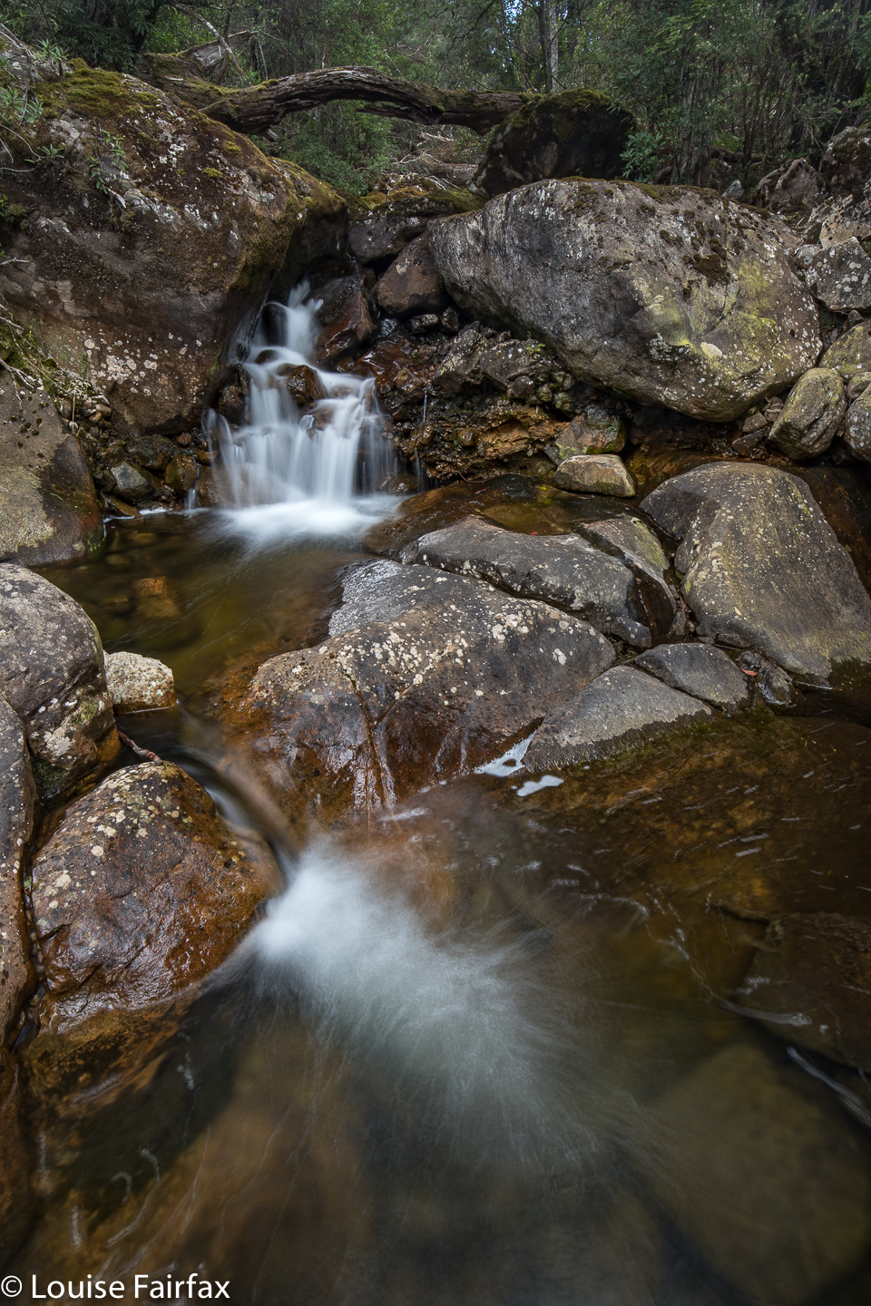
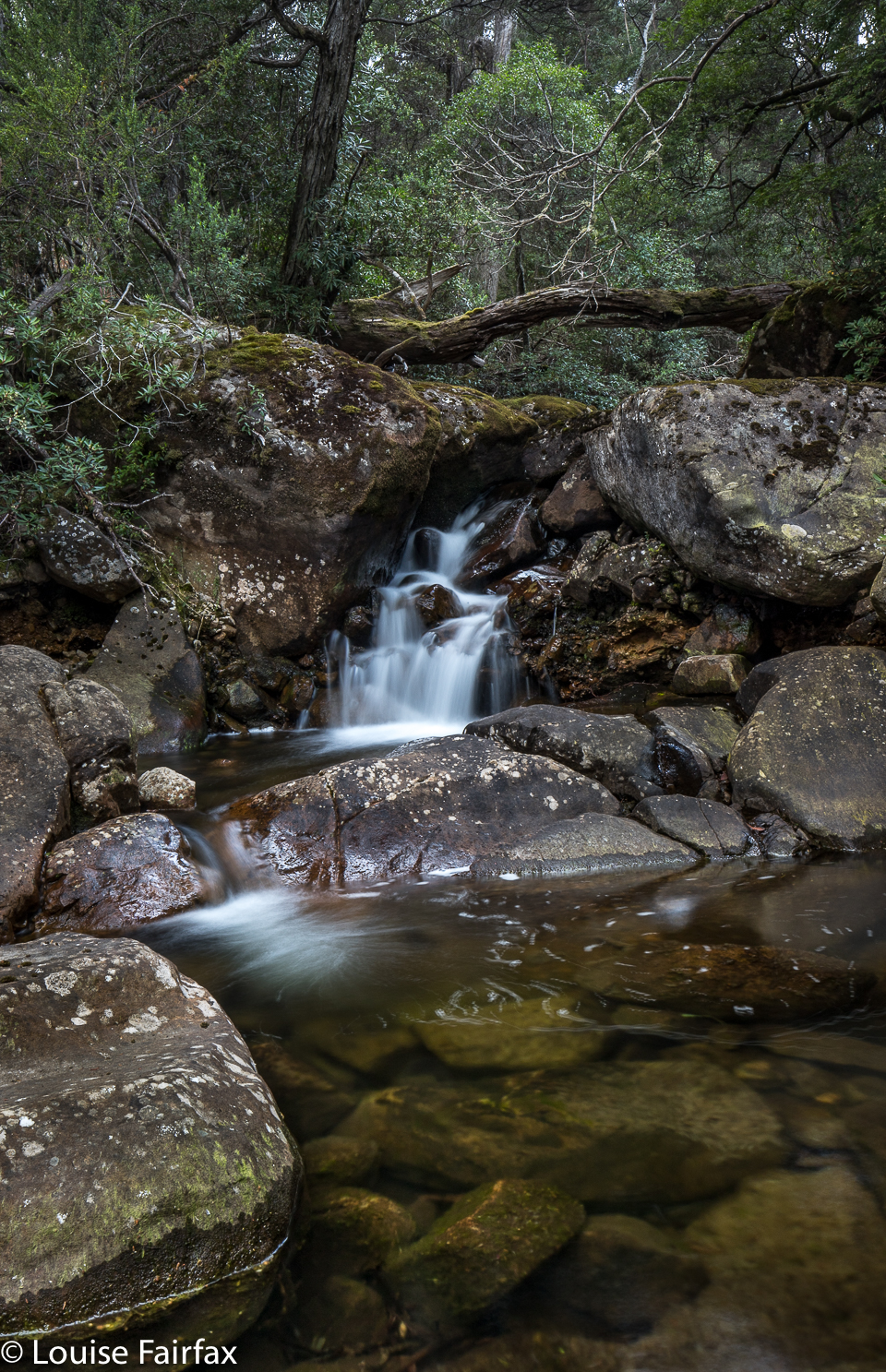
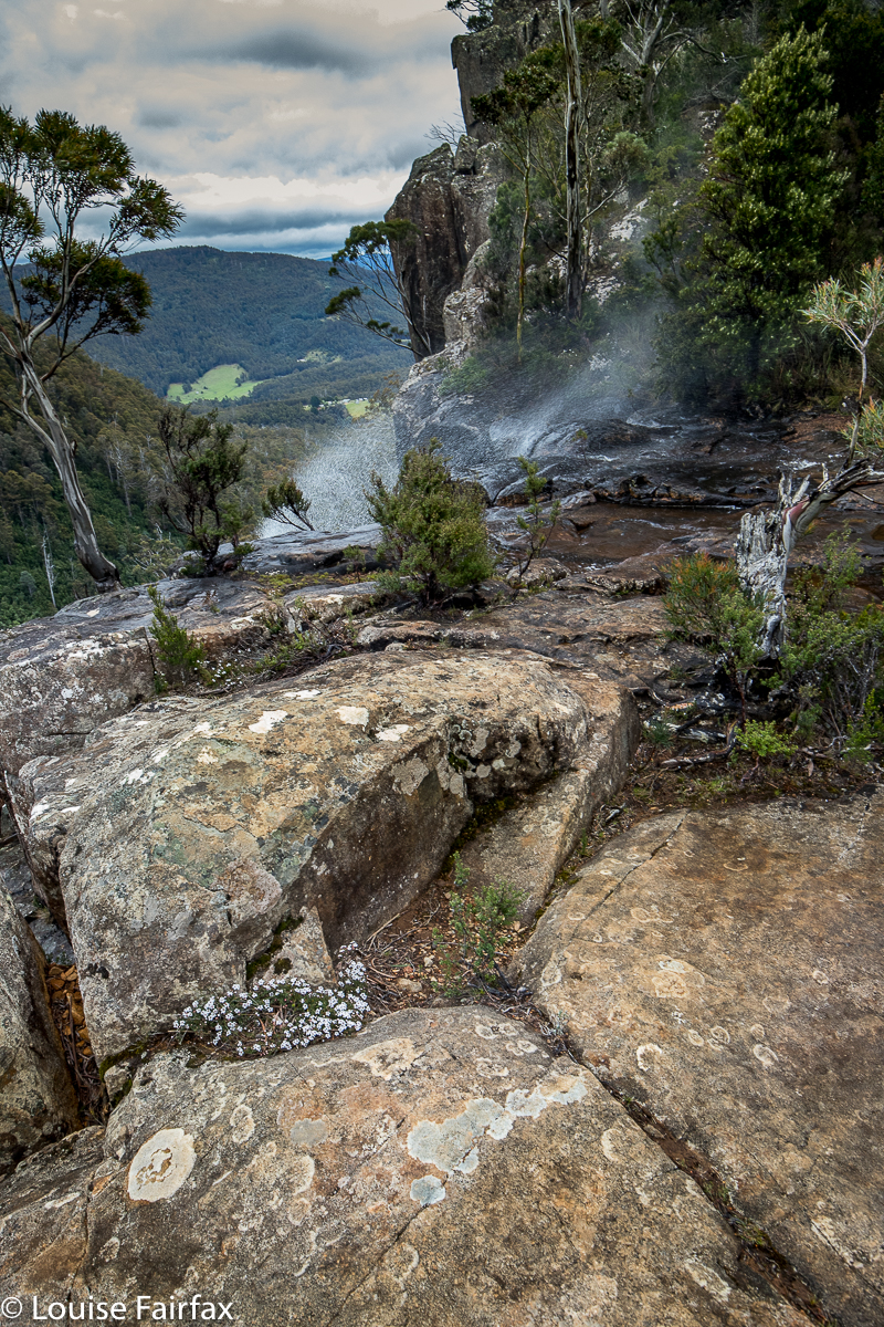
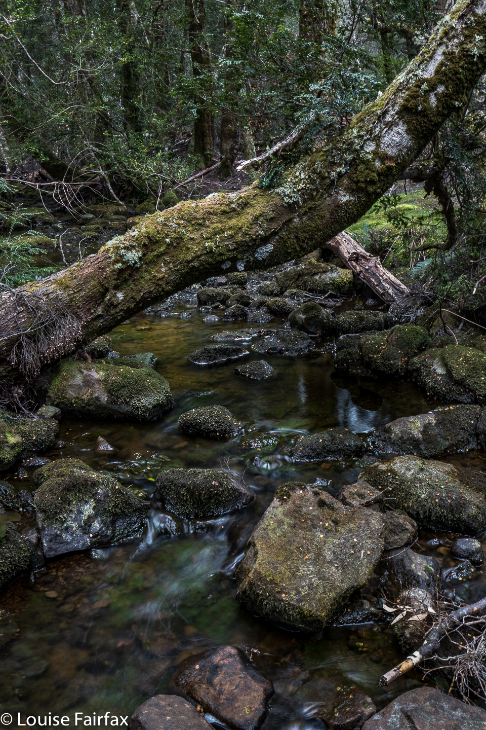
This time, I choose the left fork. A bit later, I get a few signs that indicate I made a good choice. Hoorah. I am watching the odometer pretty carefully at this stage, using the 11.3 as a bit of a guide. I pass Foone Hill, elevation over 800 ms. I pass a fabulously huge rock with Maxs Lookout perched atop. Another fork, and all of a sudden, the indications stop and both forks look unpromising. The one on the left says “Mt Barrow Discovery Trail”, which is what WoT said my goal was on, so I ignore the felicitous name “Weavers Creek Road” and follow directions. Wrong. The road got very bumpy, the rocks and corrugations got bigger. 11.3 kms came and went and on and on I drove. But pictures of things that were not there in reality, like Tassie Devils and Wedge Tailed Eagles, were posted up to encourage me, so I continued in my quest.

Eventually I came to the top end of Weavers Creek. I am not on a road on the map, but I am on the creek, and I hope the road will go where I am assuming it will go, in which case it might cross Weavers Creek lower down and give me a waterfall. The temperature is now 8 degrees. It is after 5. The road does what I want, and I cross Weavers Creek again, but still there is no waterfall. I hope for a third crossing. Getting pretty desperate at this stage. And cold. And hungry.

And at last I see a little white bit of churned water, cascading over a rocklet, and disappearing thence under the bridge I am about to cross. There is a bit of a parking area. I get out and inspect this foamy droplet. Yep, it is the “falls”. They are about 2 metres high if you are generous as to where you take the measurement from. They do not fall; they cascade. However, if you are not cranky, jaded, hungry and freezing, you could admit they are a little pretty. Anyway, I need to photograph something after all this driving, so I do. I got home without further incident at 6.45. My meanderings had wasted two and three quarter hours due to lack of specific information and decent signposting. Listmaps does not acknowledge that these falls exist, and they can hardly be blamed for that. I am wondering what bureaucrat pulled what strings to get this put on the website as a waterfall. Anyway, it exists on a list, and I have bagged and photographed it, although not with very good grace. Pity, as it is rather cute. I think the problem is not the size or any other aspect of the falls, but the fact that I was led to believe this was a brief and easy frolic, but encountered a frustrating epic. By the way, the reading of 11.3 kms only works if you take a short cut and go around the circle in a direction not originally intended. Presuming there’s no traffic on the road, that’s probably OK. The problem is there are no signs anywhere to direct you on roads that are not on the map. But hey, I live to tell the tale, and so can you, so give it a try.

Pelverata and Slippery Falls 2018 Nov

Pelverata and Slippery Falls Nov 2018


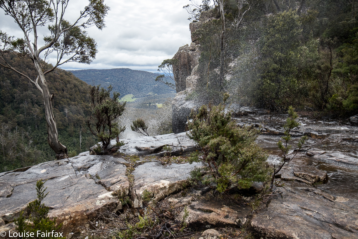
Pelverata Falls flowing uphill due to the gale
Pelverata and Slippery Falls seem to have been on my radar forever. At last, this weekend gone by, I turned the wish into reality. It was blowing a gale and snowing on the mountain I was supposed to be climbing (Ossa South), so I elected something lower instead, namely, these two waterfalls.

I got an early start from Launceston, picked up coffee, cakes and something mildly healthy as I passed through Hobart, and arrived at the carpark (directions below) eager to get going. I was rather disappointed that the bush seemed rather dry (I have been spoiled by the lush rainforest of most northern waterfalls), and that I could see cleared land and private property through the thin strip of trees, but marched along happily enough nonetheless. The day was grey and my mood felt a little to match. Perhaps the very early start wasn’t good for joie de vivre.
I strode out purposefully, although with great confusion, as the signs gave two completely contradictory and equally nonsensical estimates of how long all this would take (discussed later).  I got from the car to the Pelverata platform, the terminus for most visitors, in 44 minutes, if you want to know a different estimate from the signs. I was carrying about 7-8kgs (5kgs camera gear, lunch, wet weather gear etc), but was walking quickly, as the track was wide and easy.

Well, that was the fast part. Photography didn’t take long, either, as the falls were boring today. I was tempted not to bother with Slippery, as I had already seen them, and the water was not flowing, but it seemed a shame to have packed my bag for so little, so I decided to go down and cross the river, and then climb a little, contour a bit, and climb some more to the base of Slippery. 45 minutes of that got me not very far. It was slow, slow work indeed, and I knew the prize at the end was minimal. I thus made the radical decision to climb the towering cliffs above to get a view from there and then turn around. Up I climbed, which was much more fun than contouring through thick scrub. Lots of the cliffs were hard to get around, and I had to backtrack quite often, but eventually I got up. From my eerie I got a good view of the falls (which were barely falling), and then climbed a bit higher, knowing I must eventually intersect with the taped pad up the top. I did.


Tessie surveys our progress in a rare break in the scrub. When your dog is the most attractive thing to photograph, perhaps this is s sign of trouble.
I followed them in the direction of Pelverata, being quite finished with Slippery. It was nice to be on a pad after all that bashing, and the wildflowers up there were wonderful. The smells were even better. Pelverata Falls from the top were amazing today. The gales were not restricted to Mt Ossa South. It was wild up the top, and Pelverata was actually flowing upwards, high into the sky. In order to cross the creek, Tessa and I had to wait quite some time, even at about 20 metres behind the falls, as the spray was high and long and enormous.

This was only a mild upwards splash. When the really drenching blasts came, we ducked for cover.
The route down the other side was very steep in quite loose rock, but well cairned, and then at last I was back on the main track. It was nice to be on the easy, smooth path. Now, in all this time, we had been alone without a hint of another person. I thought: “These falls are under-used and unappreciated.” However, on the rebound between the platform and the car, we encountered fifteen other people, and four other dogs. I was glad to be wrong. Ten cars were in the carpark. Tess and I chatted to most of the people we met, so it turned into a nice sociable outing. Tessa had fun with the other dogs, sniffing and playing. Dogs love waterfall bagging too.


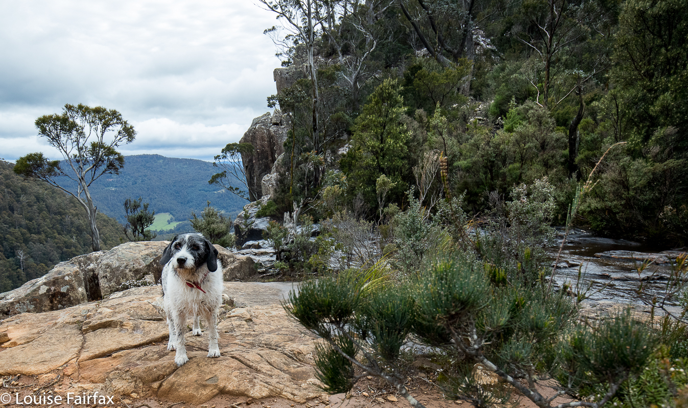
My solace and company in the bush, darling Tessa.
Just a word on the signs before I sign out:  the official signs to these falls gave me a great deal of confusion, and I remained uncertain about what was happening and what to expect the whole way there.  How long would this expedition last? At least I had enough food for the long haul,  should it be necessary. The confusion begins in the carpark. The sign says “Pelverata Falls 3 hours”. One way or two? Top or bottom? Blank. Oh well, I guessed I’d find out. I didn’t actually. After nineteen minutes, I came to a sign that said “Pelverata Falls 3 hours return”. Now, this was worse. If the first sign meant “3 hrs return”, then I had just taken nineteen minutes to do absolutely nothing, which is abominably slow and very sad. If, however, the first one meant 3 hrs one way. i.e. 6 hrs return, then I had taken 19 minutes to do 1 hr 30’s walking, which is ludicrous. Obviously, one of these signs is absurd. My advice to local council is to allow the first sign a kind of worst case scenario status, put in the word “return” so people have a clue what you’re talking about, and remove the second sign. The problem with signs like that is that people can be put off doing the walk, as they form false expectations of the time needed for the task, and that is a shame. Even on a horrid, blustery day like today, the falls make an excellent outing and a different destination for people who want a walk in nature. Everyone we met was very happy to be there.


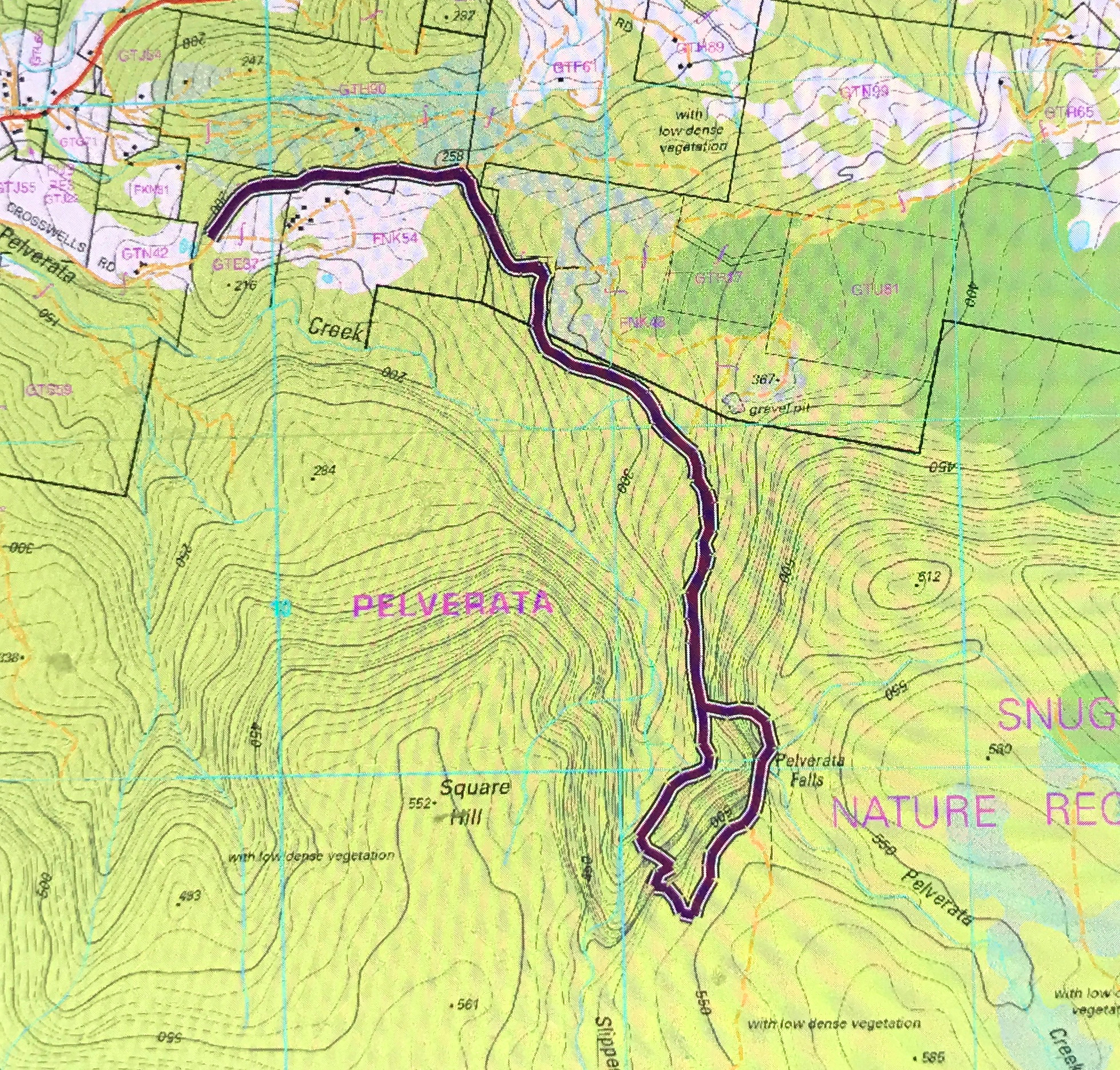
This is my (anti-clockwise) circuit – but, given the amount of rather serious bushbashing involved, I would not recommend it as a fun way to pass the time of day – but at least it’s a circuit, which I find more fun than an out and back route.
Directions from Hobart: I headed for Huonville, having taken the southern outlet. At about 10kms past that big Kingston roundabout (still heading for Huonville), I came to a hamlet called Sandfly. Here, one turns left on the C622 for Margate, and immediately right (well, after 150 ms) on the road to Pelverata. There, turn left at Crosswells Rd to the falls. There is even a blue sign here that says you are going there, and another sign that alerts you to the presence of the carpark, such as it is. Welcome. Have fun.

Frazer Falls 2018 Oct

Frazer Falls 2018 Oct

I had always wanted to return one day to visit the base of Frazer Falls, having climbed already to the top, and now, this weekend, my chance came, as Carrie and I planned to be over in the western half of the state bagging something or other. I chose Frazer Falls as that something. The day before, I had had a big waterfall bagging spree before seeing Carrie for lunch at Guide Falls (see the blog titled Upper Preston” URL below), and then the two of us had been to the base of Stitt, a huge fun adventure, before setting up our tents at lake Rosebery, ready for the onslaught of Frazer Falls on the Sunday.

It is quite a long walk in, along a wide, flat path with lush greenery to the sides, and enormous drops to the right, and massive, almost cliffs to the left, so we strode happily along, not even stopping at Montezuma as we passed it by – although we couldn’t help noticing it was flowing very nicely today thanks very much. We’d pop in on our way back. Tessie found the swing bridge very challenging. I was walking behind her, and I could see she was shaking all over with terror. She’s too heavy to carry. I feared this was it, but no. We changed positions so that I was in front, and this brave little girl followed behind me. Carrie waited until she was across so as not to swing the bridge more than was necessary, and soon enough we were a trio on the other side. Other dog owners could not even carry their dogs across, as they whimpered too much, they told us later. It is a truly whopping drop for anyone with depth perception.

My memory said it was a bit over twenty minutes to our turn off up the spur beyond Frazer Creek, so there was still some more striding to do, which was a bit unfortunate, as I had wet socks from the day before, and striding was giving me a bit of a blister. Things would greatly improve once we started climbing.

The climb is a very in-your-face affair, with all four limbs being necessary to haul yourself up the slope. The forest, however, is quite open, the scenery beautiful, and, well, I love a good climb, and this was no exception. The part I didn’t like was where felling has been done that lets the light in, and there, scrub has grown up and the pad is very indistinct. There are two short sections of this ilk, but they’re pretty quickly dispensed with if you keep your line. We finished the climb in thirty minutes flat (having taken fifty four minutes to Montezuma, and twenty three to the start of the climb where we left the track).

Now, this next bit was, for me, the challenging part, as I had been here once before, and not found a pad down. But then, I had been in a hurry. I have made several attempts since to find out if one crosses over Frazer Creek in order to descend, but nobody would tell me. I asked, do we descend west or east of the creek, and no one would answer me. So, I tell YOU, lucky people, you do not cross the creek. Look for a pad on that western side of the creek. There is a stake, and when I was there before, I found nothing more. This time, more stakes have been put out, and if you climb under a log, you see the next one, and after that, everything is very clear … and very, very steep. Carrie thought it was the scariest of all our descents so far, and we’ve done a few pretty hairy ones. Tessie thought it was OK, having struggled more when ropes are necessary to get up sheer rock. The drop was monstrous, but it only took us nine minutes both down and up to do this section.

And, what joy lay in store for us at the base. We had  no other plans for this day, so took our time photographing from this or that position, while Tessa stood guard over us, perched like a sentinel on a rock. She knows not to interfere with photography. I am a bit insulted that she always seems to guard Carrie more than she does me. Such is life.

On the way back, we stopped off at Montezuma Falls for lunch. The first time I visited these falls, I got my lens splattered in droplets and threw every photo out. The second time, it was a silly trickle. This time, I was happy. And then it was time to finish off the walk, pour some caffein down my gullet, and begin the long drive home. I struggled, so had Les Miserables up at almost full volume, and sang full blast to try to conquer sleep once I had dropped Carrie off at Ridgley . Got there
For Saturday’s walks, see http://www.natureloverswalks.com/upper-preston-falls/. For the cyan line of our route, see my first blog on Frazer Falls:
 http://www.natureloverswalks.com/frazer-falls/

Upper Preston Falls, Stitt Falls and more 2018 Oct

Waterfall Spree, N and W Tasmania, including Upper Preston, Preston and Stitt Falls. Oct 20, 2018

Upper Preston Falls
I’m not sure what I had been planning to do last weekend – most probably climb a mountain and sleep up there – but when I got an email from Carrie saying she was free Saturday afternoon and Sunday, why not waterfall bag, suddenly I knew exactly what I was going to do. With head down and tail up, I scoured the internet and maps for information, and drew up a plan of attack. It was just a tiny bit ambitious, so I won’t embarrass myself by telling you what I had planned: instead, I’ll tell you what I did.

Some of the waterfalls were private, and you need to ask permission from the right people. We actually tried more than is written here, but were refused permission from that “angle”, so retreated – possibly gracefully. As said, this is what I did see. Some of what I did see was really barely worth seeing, and I didn’t even bother taking a photo (Kindred; Preston). One, South Riana Dam Falls, I was running late for my 1 pm meeting with Carrie, so resolved to return – they were lovely. I will also return to Preston when there’s more flow and when the day is suitably cloudy. Conditions weren’t right for a photo this day.
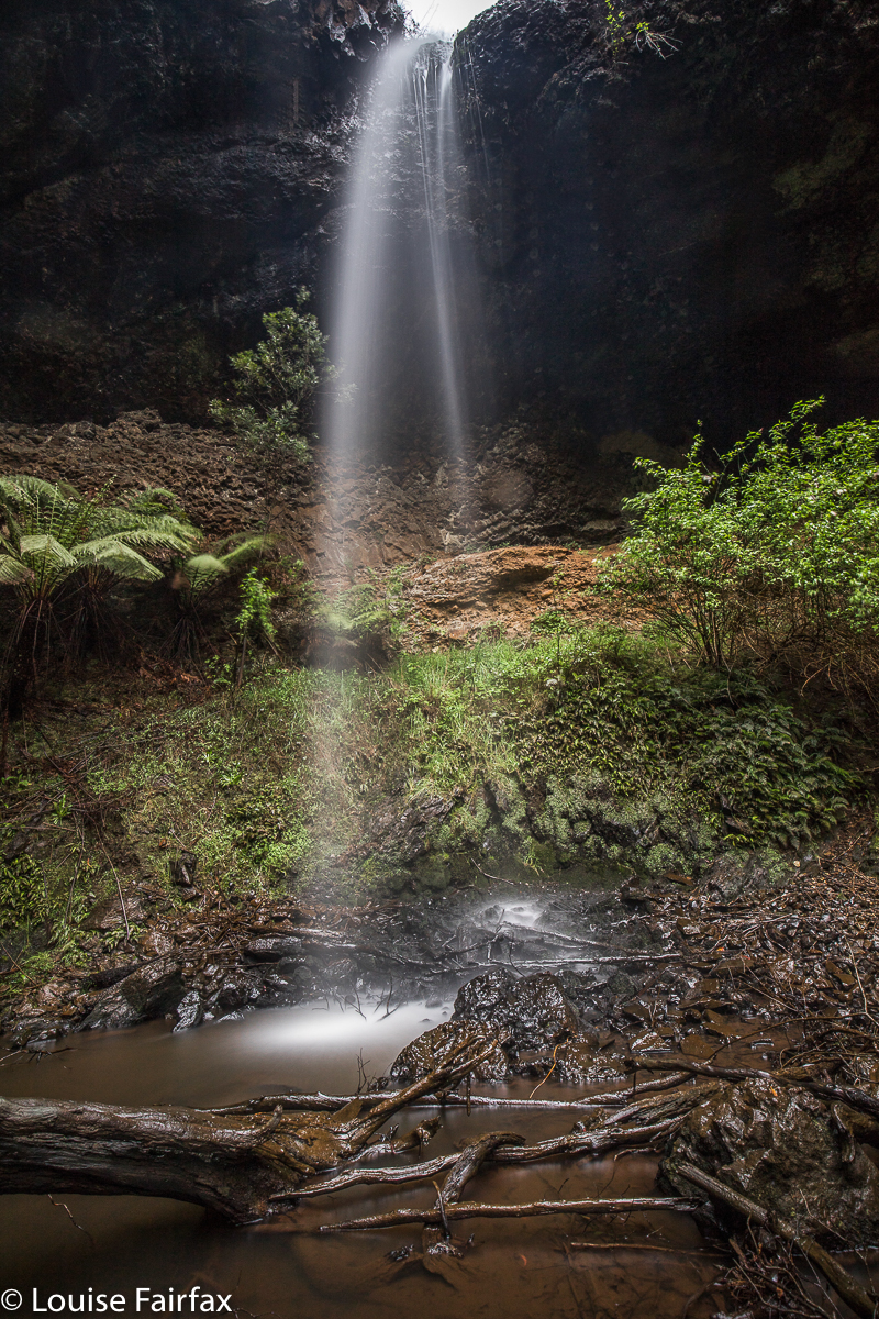
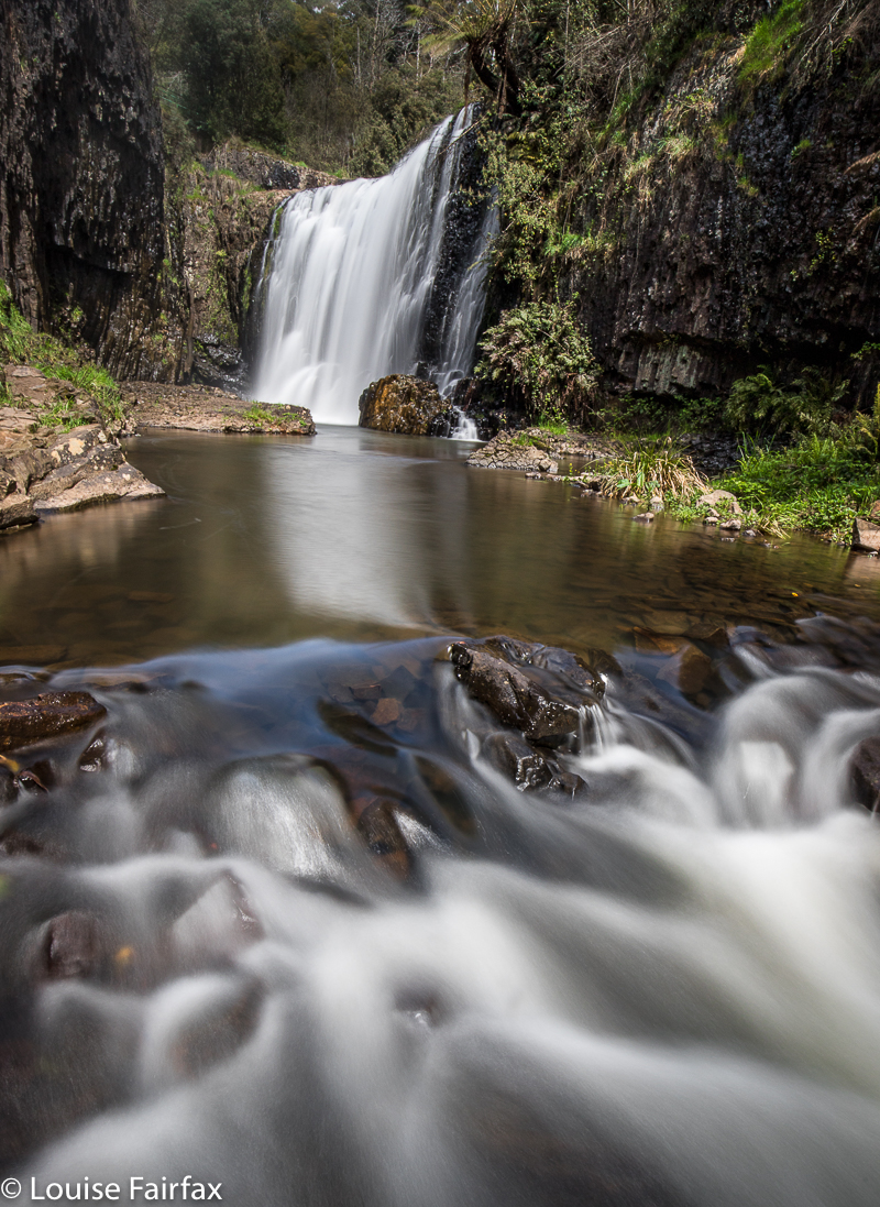
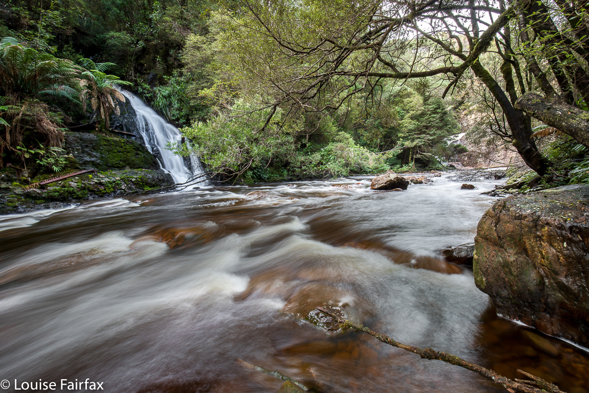
So, the day began with two private falls before having breakfast number two at Forth, at a little shop that sold lots of tasty vegan naughties, and excellent coffee (called Alchemy), which is just what I needed after shooting waterfalls in the rain. I ended up doing an enormous amount of driving on this morning, as I kept trying to drive east to west in country whose topography and road structure wanted you to go north-south.  As a result, I clocked up a large number of kilometres, but got to see some new and interesting parts of my state, so I was happy, although tired.

My next “attack” was the waterfalls near Preston. I had already done Delaneys Falls (incorrectly signed by the local council as Preston Falls), so only visited the two I hadn’t yet seen: namely Preston Falls (the real ones) and Upper Preston Falls. I also had a search for some Cascades I’d been told about, but it seems they were playing hide and seek and winning the game. No matter: Upper Preston Falls were so beautiful, I needed nothing else. Preston Falls were the blackberry spree I was expecting, although not as bad as I feared. I believe I have Stephen Grath and possibly some others to thank for the fact that I still own two legs. These three falls (Upper Preston, Preston and Delaneys) are all accessed from Raymond Rd, C127, just south west of Preston itself. Four waterfalls down. Time to head further west towards Guide Falls where I was to meet Carrie … but in getting there, I also accidentally found what I had heard of, the South Riana Dam Falls – just beautiful, and deserving of more of my time.

Guide Falls
At last, with a stomach so hungry it was cramping on me, I met Carrie at Guide Falls, where we had so much to tell each other it’s surprising we got in any falls at all. We were thwarted in the first two falls we tried after that, but if owners don’t want you there, then, that’s that. I figure there’s no harm in asking. Most of them are nice and say “Yes”. This was the first time I’ve been refused, actually.


Stitt River Tributary Falls
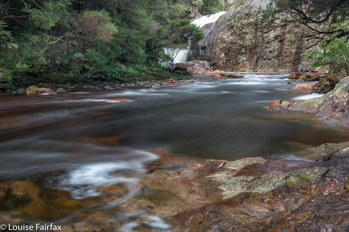
We cut our losses and headed to Rosebery, where I was hoping to get to the base of the Stitt Falls. I had already photographed these from the top, but from the moment I looked down into that infinitely deep chasm below (which joins the aptly named Yawning Gully), I wanted to go back and see what things looked like from down at the base. The first time, I was there with Bruce, so trying was out of the question. This time, I had Carrie and Tessa for company, and we three girls got there. It was steep, loose and slippery, but we found a way to the river, and then worked our way upstream to near enough to the falls to enable a photo. There was also a gorgeous little waterfall coming in off one of the tributaries. With an overdose of imagination, I have christened them “Stitt River Tributary Falls”. We loved it down there, amongst the rich oranges of the rocks and water, and the calming greens of the surrounding forest.

Stitt Falls base
I brought enough stuff to enable camping beside Lake Rosebery (tents and stoves for both of us), at which time we discovered that girls who stare at screens for so many hours sorting out waterfall details can sometimes err when it comes to practicalities. I had forgotten matches. I did bring two gas canisters, but the first ran out after five seconds; the second limped in, just, to enable two dinners and breakfast. Luckily, neither of us wanted seconds of tea or coffee in the morning, or we would have been bitterly disappointed. At least I brought enough food this week.

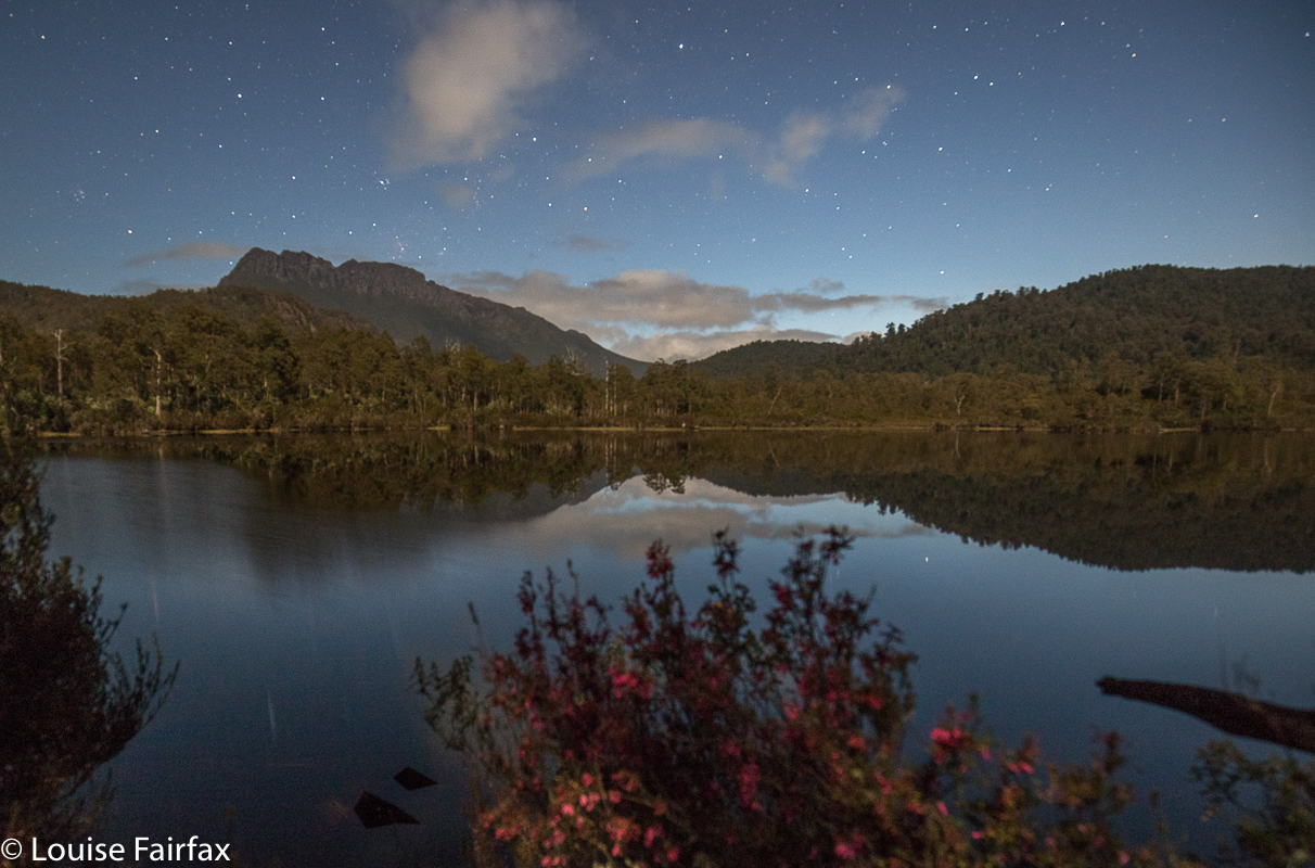
Lake Rosebery and Mt Murchison well after dark. You can see the Southern Cross and Pointers.
It was the lake rather than waterfalls that Carrie named as her favourite part of the weekend. Maybe the adrenalin factor of Stitt and Frazer tainted her opinion of them. We sat on logs by the lake, staring out at Mt Murchison, watching the stars come out one by one to twinkle at us. The night got quite cold, but the beauty buoyed us so we didn’t really notice. We got the great idea of beginning our careers in astro photography, so, despite the nearly full moon, set up our cameras and gave it a go. It was huge fun.

Next morning, it was hard to drag ourselves away from this idyllic spot, but Frazer Falls were calling, and I wanted an early start so that we weren’t going to be rushed. I had a long drive home, so didn’t want things to last too long.  Frazer Falls can have their own blog. They deserve it.