Hullabaloo Falls 2018 Apr

Hullabaloo Falls and Upper Hullabaloo Falls, Apr 2018
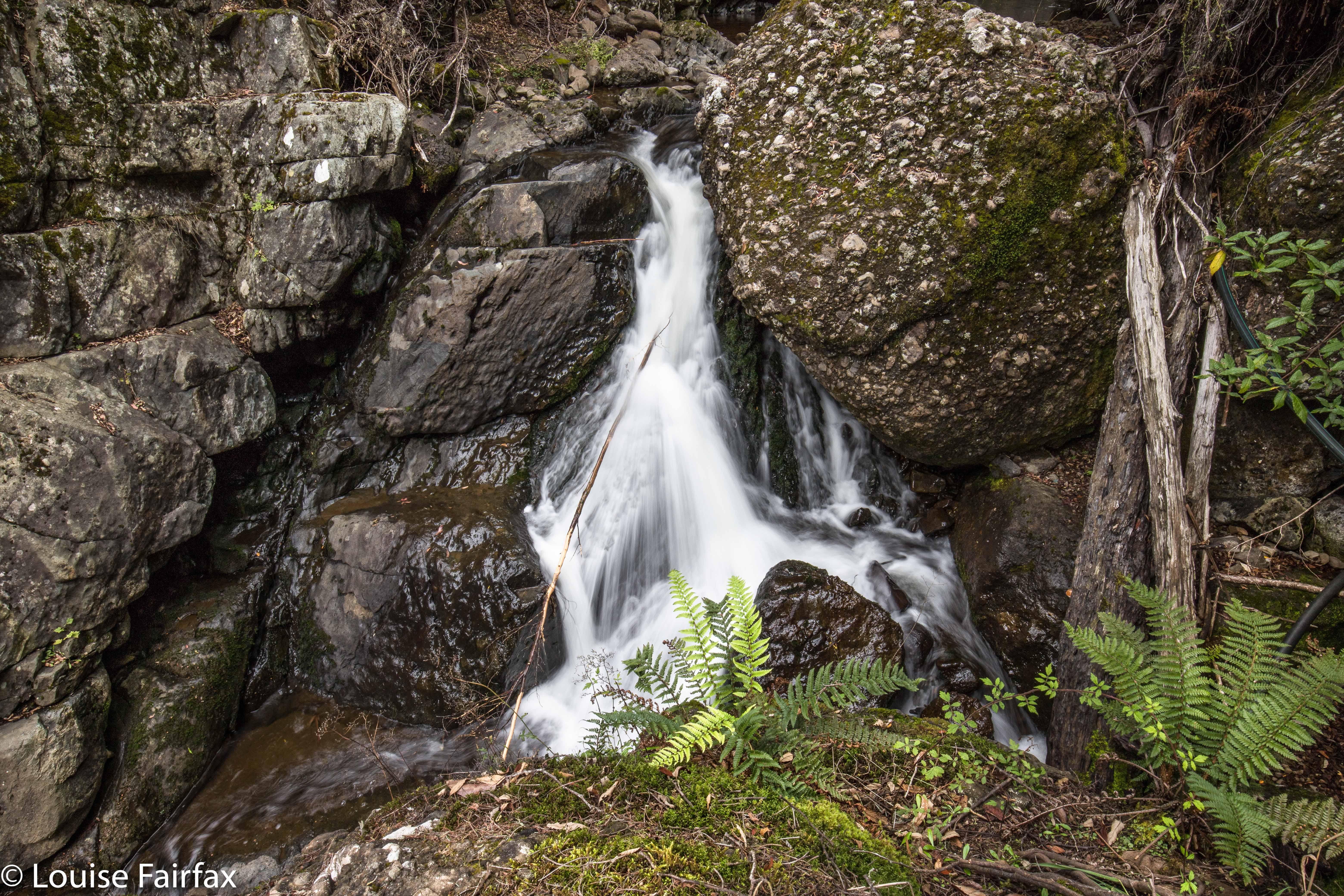
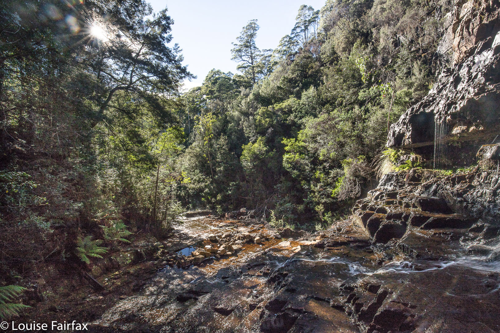
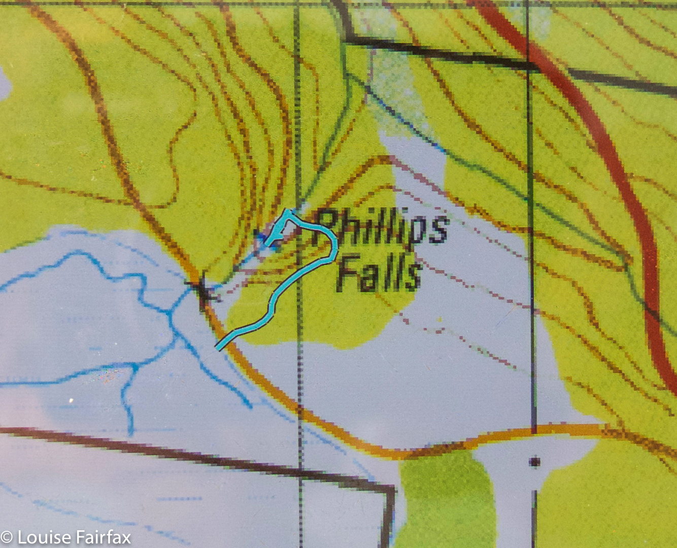
If you have turned to this blog having come from my post on Narrawa Falls, you will know that the only reason I was at the start line for Hullabaloo Falls was that the name caught my eye when I was map gazing, and, noting that I was nearby, I answered the call. It seemed to me that the closest point to where the falls were was where my map indicates I parked, and, not having any information to hand, that seemed as good a place as any to start.
I have since found out that this is on private property, and, with waterfall bagging being so popular, the owner is worried about his liability. I’m afraid the shots posted can merely satisfy your curiosity. Sorry folks.

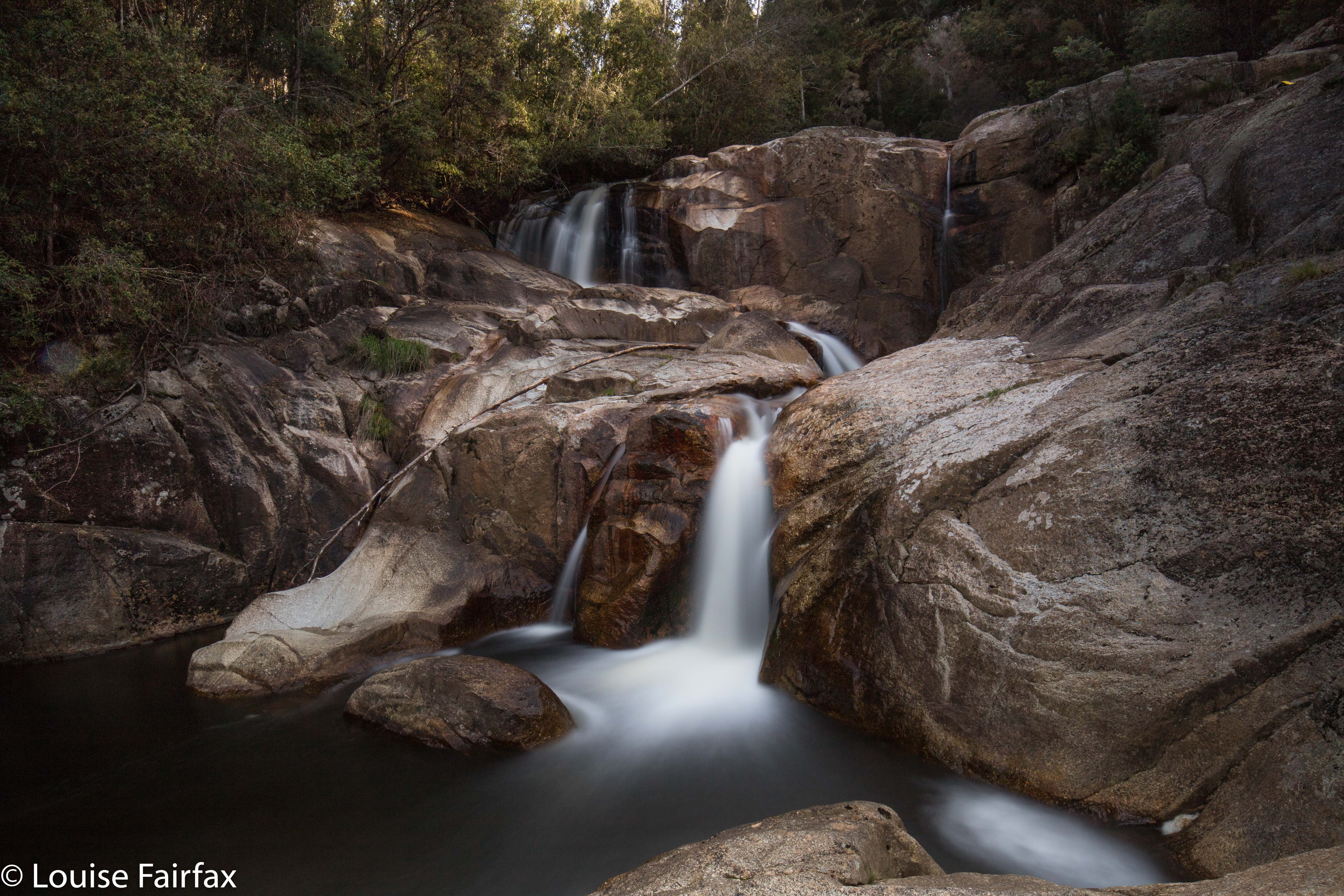
Hiding shyly out of obscurity: Hullabaloo Falls

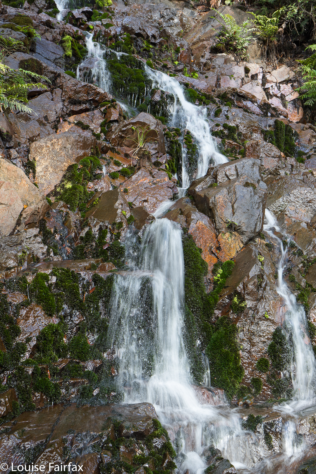
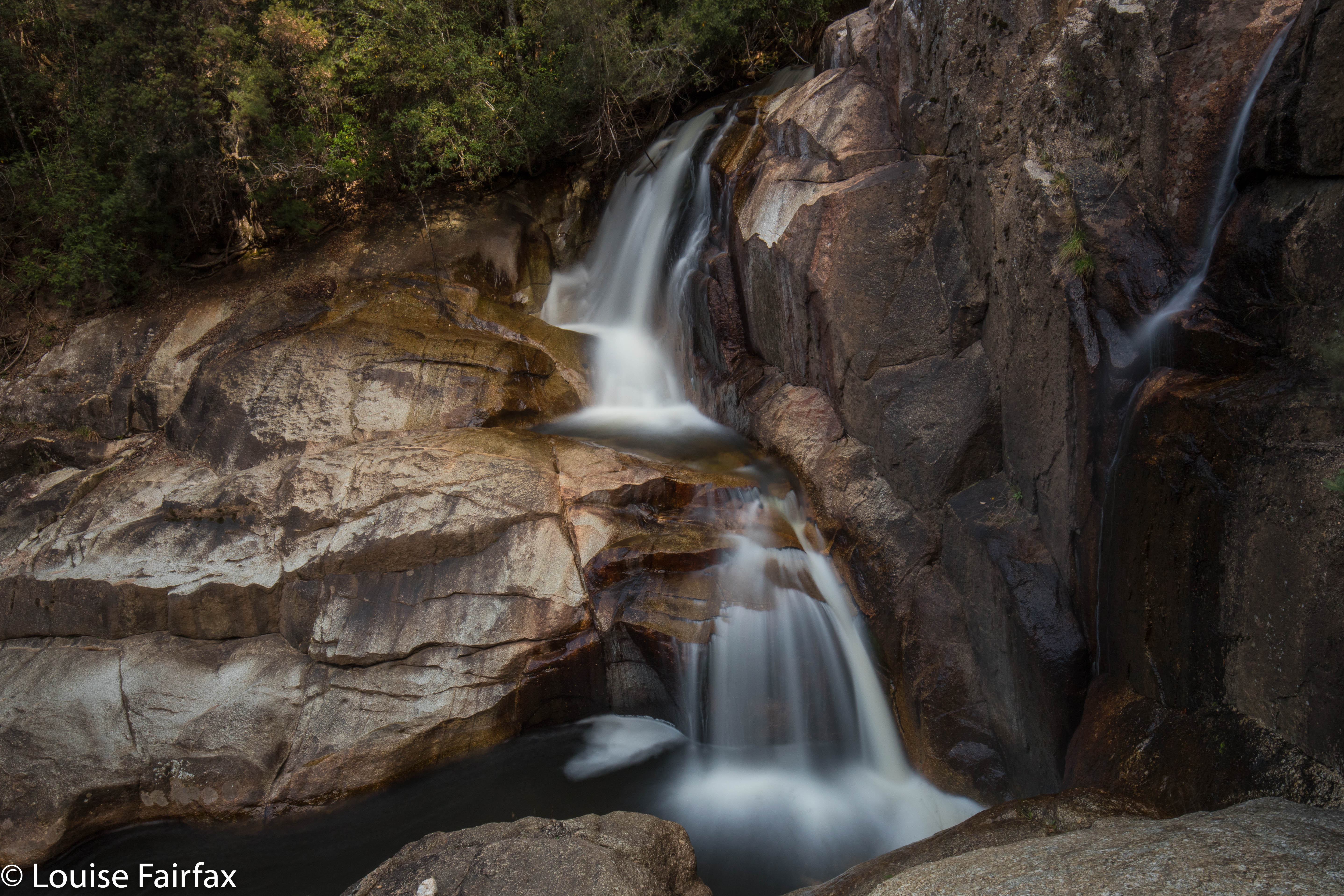
Here are the “Upper Hullabaloo Falls” (unnamed on the map, but marked by a blue line as existing). They are actually nicer.
I decided to head for home via one last falls, viz., Hogg Creek Falls, which also had a location but no information as to how to best approach them. Oh well, if you don’t try you can’t succeed. Off I set. Hogg Creek is in between the Lake Paloona Dam and Lower Barrington, which seemed quite a long drive from Lemonthyme, but a very pretty one. Tasmania is looking ravishing in its autumn clothing.

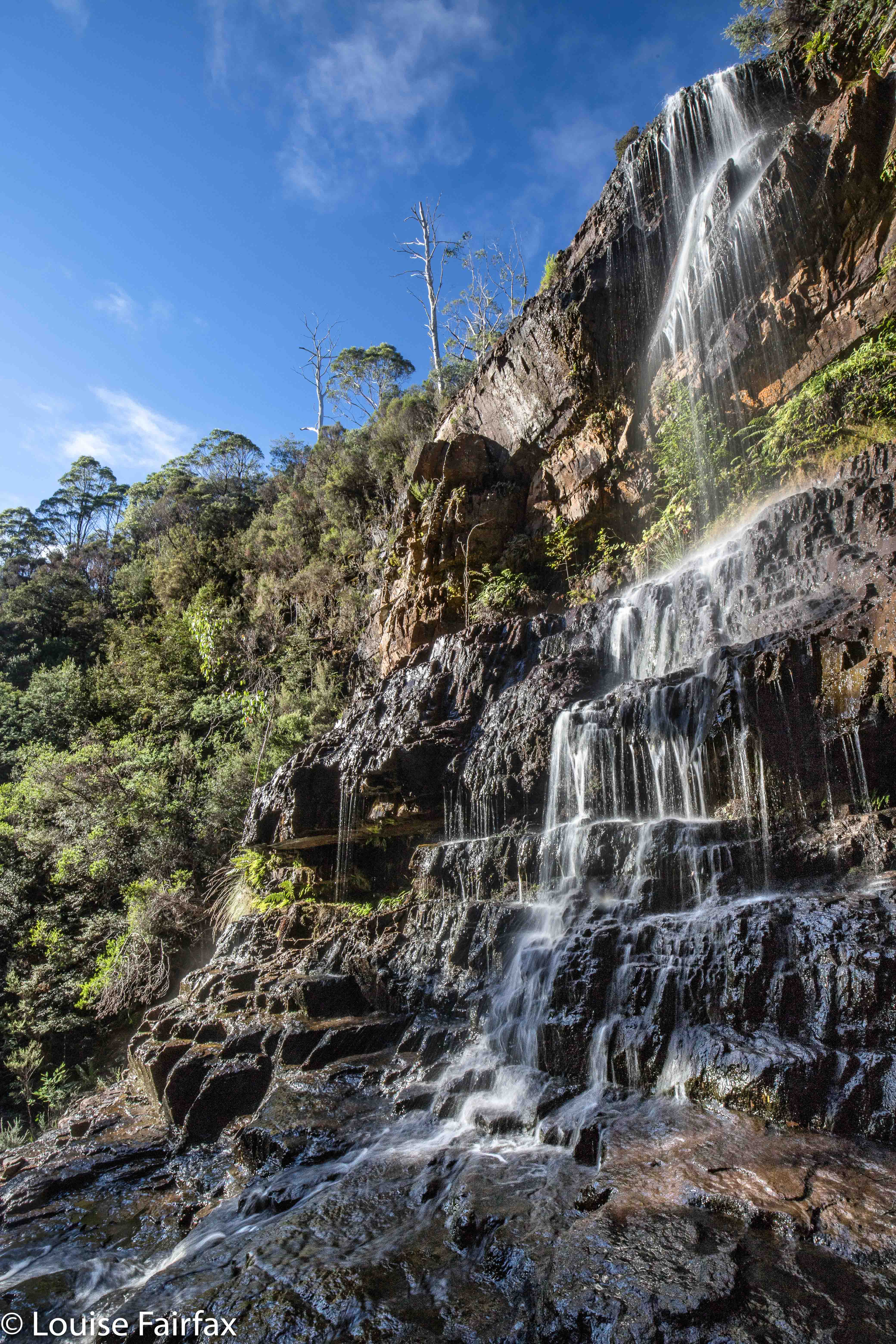
Cethana Falls (or Bellana Ck Falls?) 2018

Cethana Falls (or Bellana Ck Falls?) 2018
What’s in a name? Well actually, quite a bit if we want to actually communicate with each other. When I order a cappuccino, I have something very definite in mind, a something that I expect the person serving me to also have in mind, and if they give me instant coffee with milk from the fridge, I consider myself cheated, and I know that we have two different things in mind when we use the word “cappuccino”. (Yes, that used to happen in yesteryear). And when it comes to waterfalls, it is also kind of handy if we want to discuss them with each other that we have the same name in mind – or, in the case of aboriginal naming, two accepted names, but we all know it’s those two.


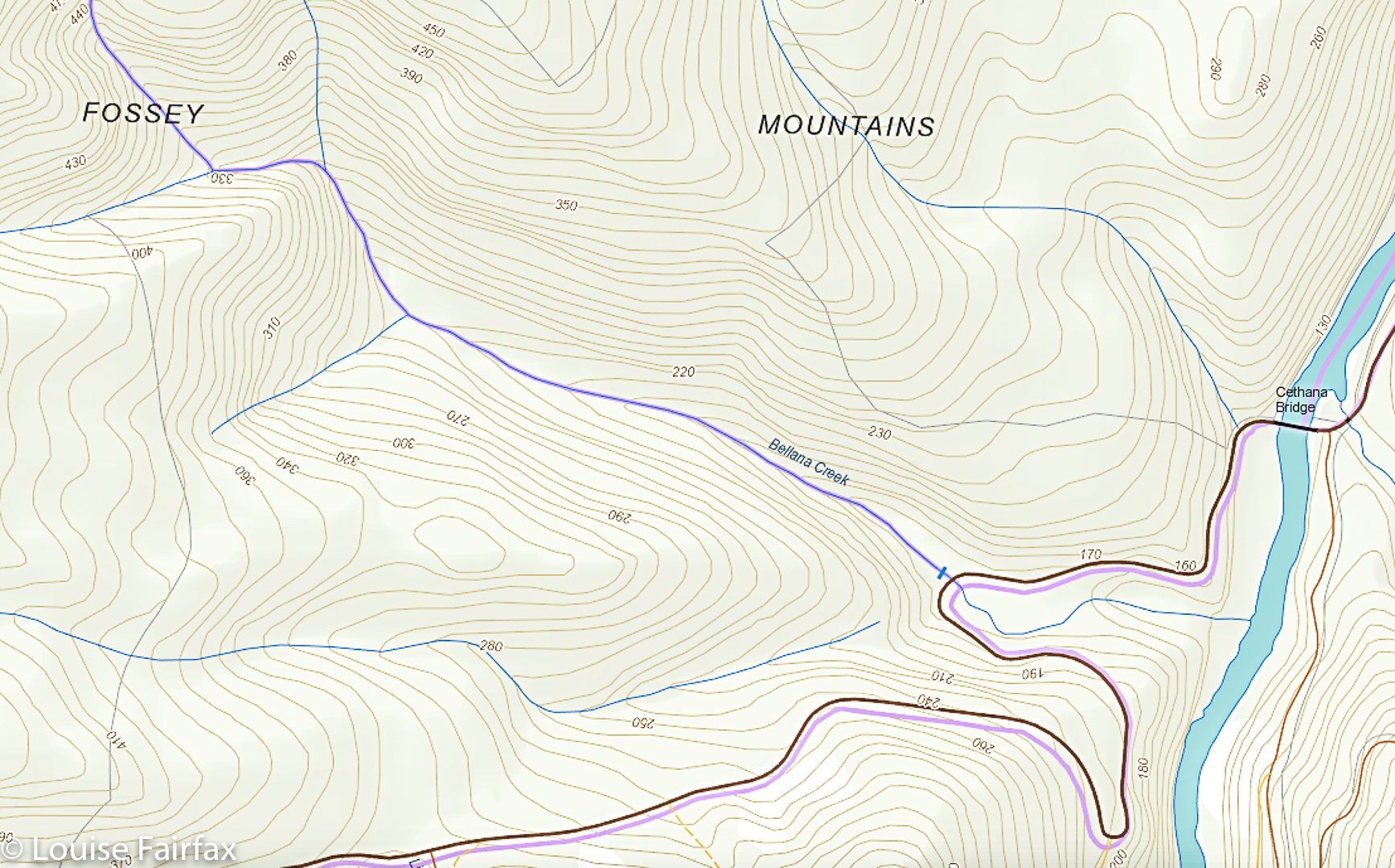
Now, to my point: I saw a photo in the web of falls that were called “Cethana Falls”. This seemed an appropriate name, as they were on Cethana Road, just past Cethana Bridge, and quite near Cethana dam. I called them that too, and went to photograph and “bag” them yesterday. But this morning, I have discovered that people sitting in an office in America have dubbed these (with an air of authority, calling themselves the World Waterfall database) “Bellana Creek Falls”. Are we all to name things whatever we feel like? This name they have given it is intriguing to say the least. If you look at the map I have included below, you will see that List Maps has these falls on the Bellana Creek, which, if you visit the falls, and minutely inspect Bellana Creek at precisely this spot as I did yesterday, you will discover that there are no falls at all in that astonishingly flat stretch of creek bed (given the general terrain in which it is situated). The falls are on the creek which is unnamed right beside this to the left as you face them, and which , on violently sloping ground, according to the map, stops and disappears into thin air. Note the two blue lines do not join. Creeks on big slopes do not do this unless they go underground. This unnamed creek does not go underground. It falls over the edge in a fall that is very attractive after rain. Less so when dry. Locals call it Cethana Falls. I would greatly appreciate hearing any further comments on this.

(The same website also reports as confirmed an ‘Upper Narrawa Creek Falls’. My map has nothing of the sort on it, and neither does the List Map. Does anyone know what these people are talking about? Please contact me if you have any information. I am most curious.

Narrawa Creek Falls 2018 Apr

Narrawa Creek Falls 2018 Apr
Today I had a total waterfall spree, just going with the flow (ha ha) and visiting the next falls that my eyes caught on the map. I had no internet connection, being in the middle of nowhere, so no information. For each one (apart from my revisit to Phillips Falls), it was a case of park the car where it seemed reasonable, and try to get there. I am pleased to report success in each case. (The other four in the collection, which will get their own blogs, are: Cethana Falls, Hullabaloo Falls, Hullabaloo Upper, and Hogg Creek Falls).
I was actually heading for Cradle Mountain, but got so waylaid that I never even got near. My first stop was to revisit Phillips Falls near the Mt Claude saddle, as it had not been flowing last time I was there, and I had hopes that, after yesterday’s rain, there might be something to photograph this time. There was, so I have done another Phillips Falls blog. See
www,natureloverswalks.com/phillips-falls-2/
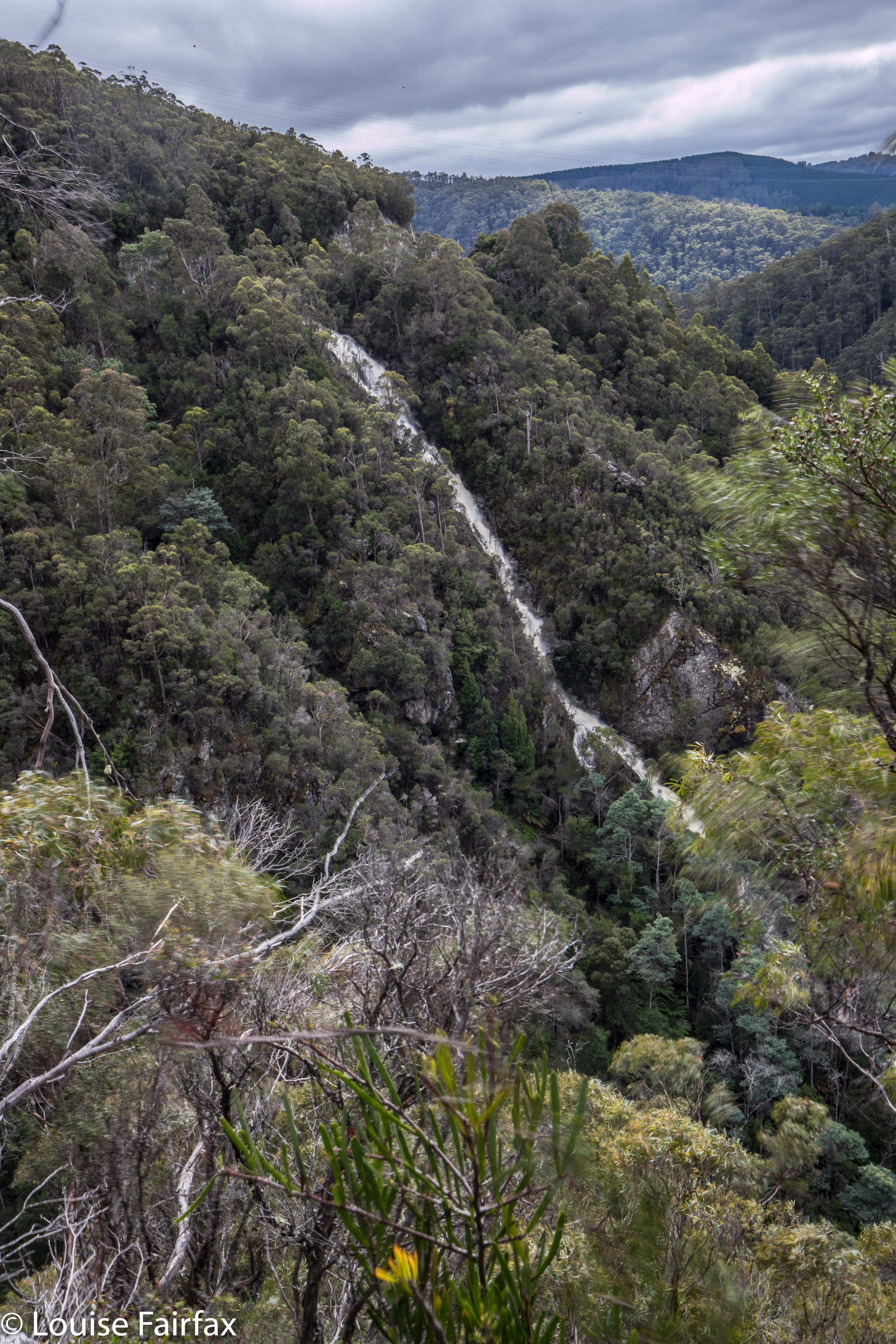
Narrawa Creek Falls pumping it out.
Second on my list, once I rejoined Cethana Road and began to climb after the bridge below the dam wall at the bottom, was the still unfortunately unspectacular Cethana Falls at the second hairpin bend on the climb. (Separate, very short blog with a map in case you need it – see www.natureloverswalks.com/cethana-falls/). And now came the challenge. Narrawa Creek Gorge. On inspecting the map, I saw a dirt road issuing from one of the hairpins that you could follow that went sort of nearby. I sought it out. It had a huge, no-arguments-will-be-entertained fence that, well, I could have climbed, but I decided they meant business, so resisted and had another map stare. OK. Let’s try from above, which would involve a fairly whopping height loss (to be regained on the homeward journey, but, hey, I’ve got all day and I enjoy exercise , so why not?).
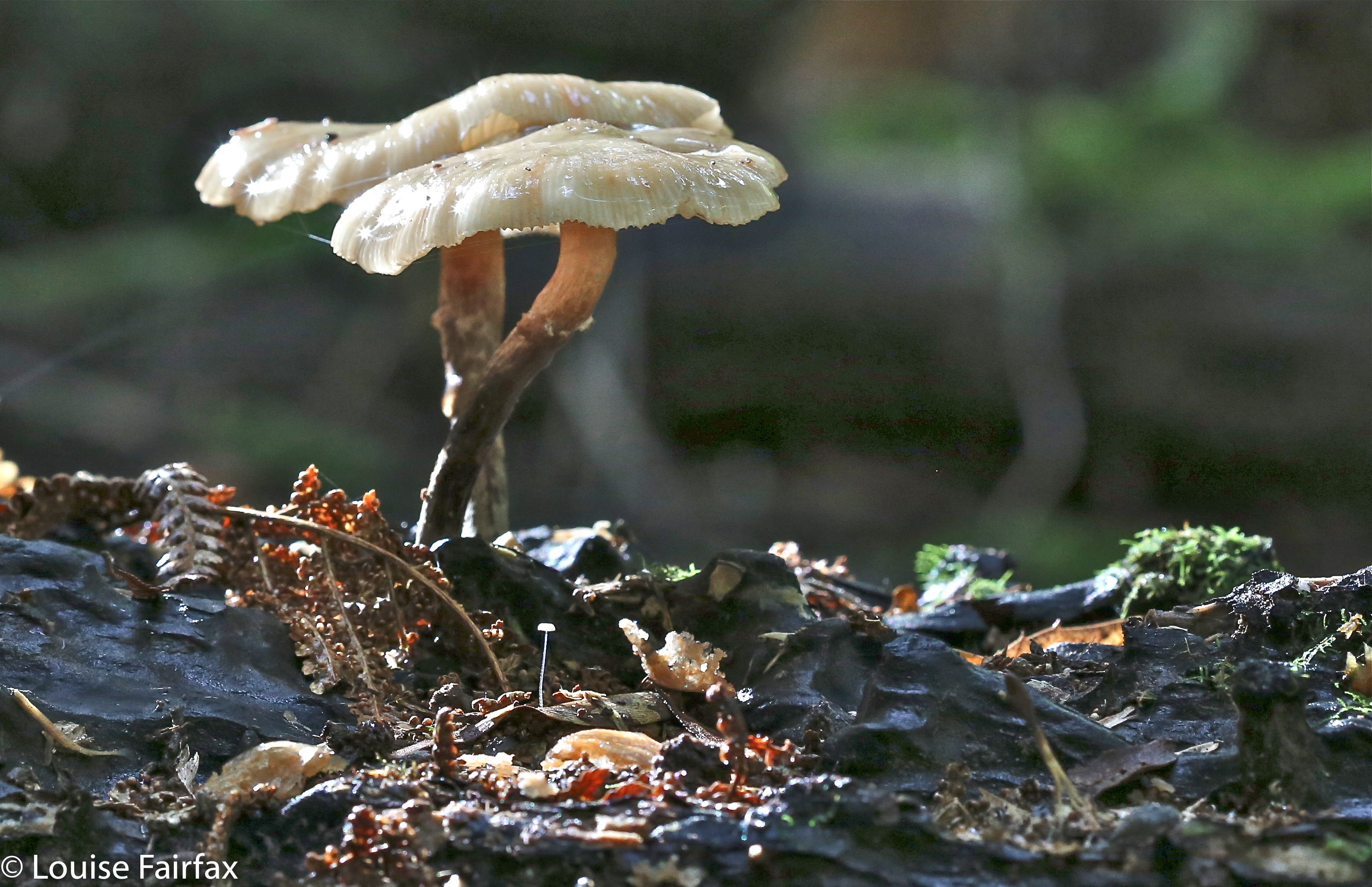
Armillaria novaezelandiae
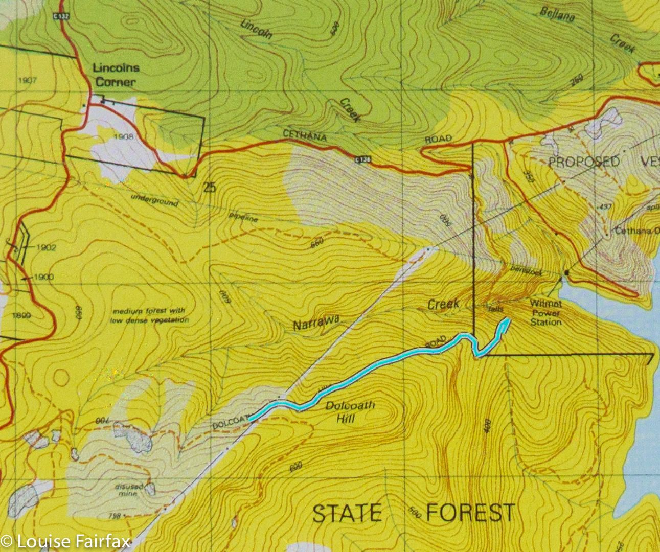
I exited the main, sealed Cradle Road on the dirt road that leads to Lemonthyme Lodge, and parked my car along it where a track leads down the hill, as per the map below. Would this one have a fence or a keep out sign? No. Excellent. Narrawa, here I come. Down, down, down I dropped on a route that is only for the enthusiastic. It was so steep that my boots had trouble not slipping on occasion. What I was on was a former dirt road, but there were no signs at all of recent (or even non-recent) usage. It was weathered into a state of definite disrepair that would challenge even a quad bike. It was totally fine for walking. Fungi as well as curiosity kept me highly motivated. At my chosen moment, I deserted this and went bush in quest of my falls, fearing all along after last weekend’s failed attempt at Cashs that I would just meet with cliffs and buttresses that hid me from my goal. As I got nearer, I could hear its mighty roar, so wondered: if you hear it, can that count as a bag? I knew the answer was “No”. Wow, though, it was sure pumping.
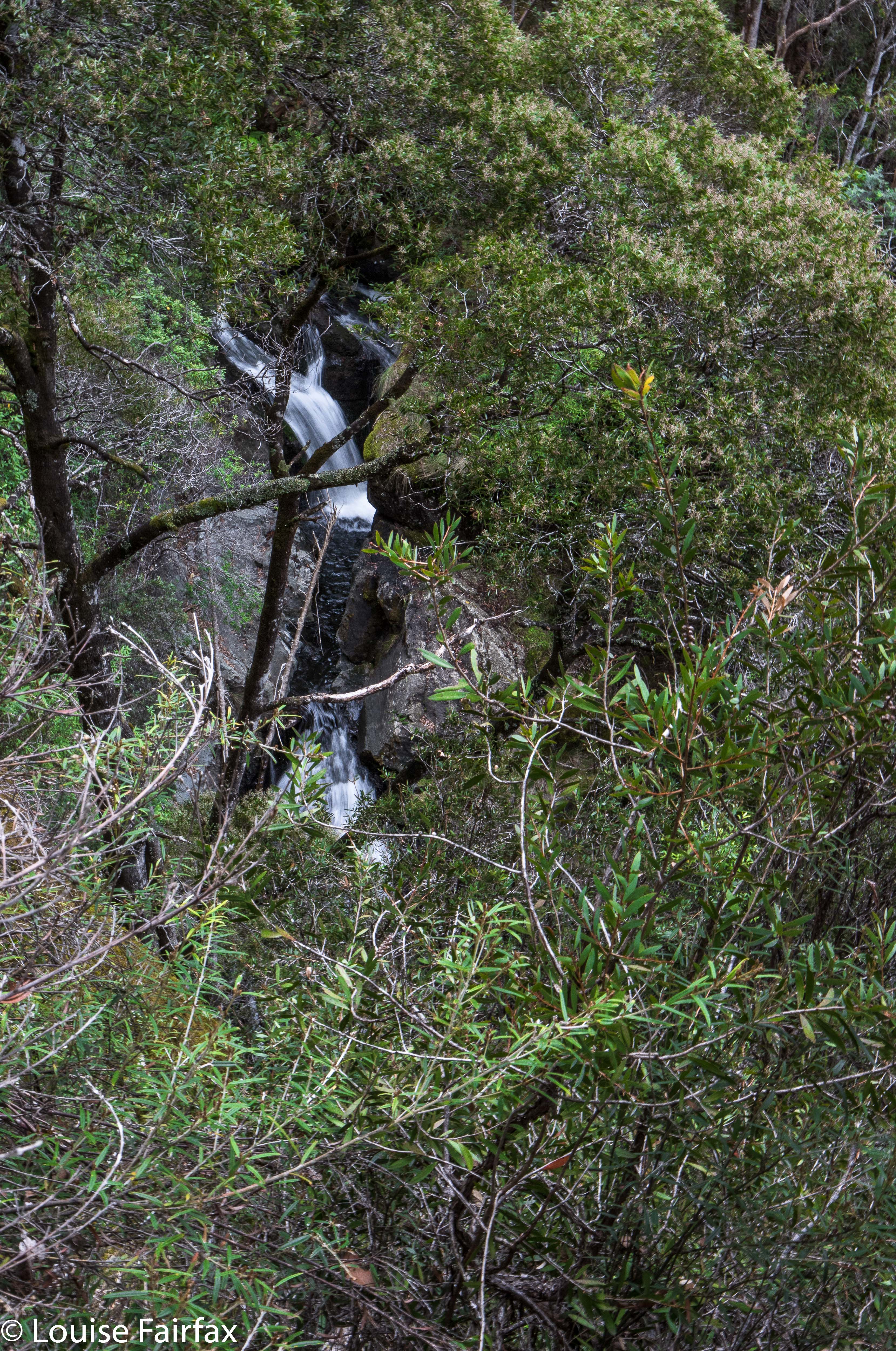
And, was I ever excited when I got my first glimpse. wow, what a mighty wallop of water to go with the noise. It was momentous. I perched on a somewhat precarious ledge to photograph my prize before returning, very satisfied to the car. I decided that that effort deserved lunch, so had a picnic in the bush right there.
Just as I was leaving, and consulting my map to sort out what I wanted to do next, a little piece of writing caught my eye: it said “Hullabaloo Falls”. It wasn’t far away – just down the road, near Lemonthyme Lodge.  It would be stupid to ignore being this close, so off I set. For continuation of this story, you will need to progress to www.natureloverswalks.com/hullabaloo-falls/.

Phillips Falls (ii) 2018 Apr

Phillips Falls (ii) 2018 Apr
As you may well have noted, my previous blog on Philllips Falls had no photo of the actual falls – as nothing was falling. I decided to go to Cradle Mountain yesterday, and to revisit these falls on the way in the hope that Thursday’s rain would have had a positive effect on the falls.


This time there was water, so here are some shots. Take the C138 over the Claude Mt side ridge, and after you’ve descended, the first road (which is dirt) on your right. Stop at the bridge over Mechanical Creek (not signed). The road divides in two here. About 40 metres back in the incoming direction (SE), you’ll see a pink tape. The tapes lead to the base. (See route map below)


Looking downstream
As it so turned out, I got so involved in the process of visiting the next falls that caught my attention, and the next and the next, ad almost infinitum, that I never made it to Cradle, but did “bag” six falls, five of which were new for me. It was a successful and a fun outing. I have in retrospect dubbed it the Sheffield Waterfall Circuit. The six falls, in case you want to do a similar circuit, were: Phillips, Cethana, Narrawa, Hullabaloo, Hullabaloo Upper and Hoggs Creek Falls. If you want to mimic my route exactly, then you’ll also need to stop at Fudge ‘n’ Good Coffee in Sheffield for Italian Coffee and sweet treats at the end of the circle. The excellent cappuccino I had there kept me alive for the drive back to Launceston after a fairly full day.

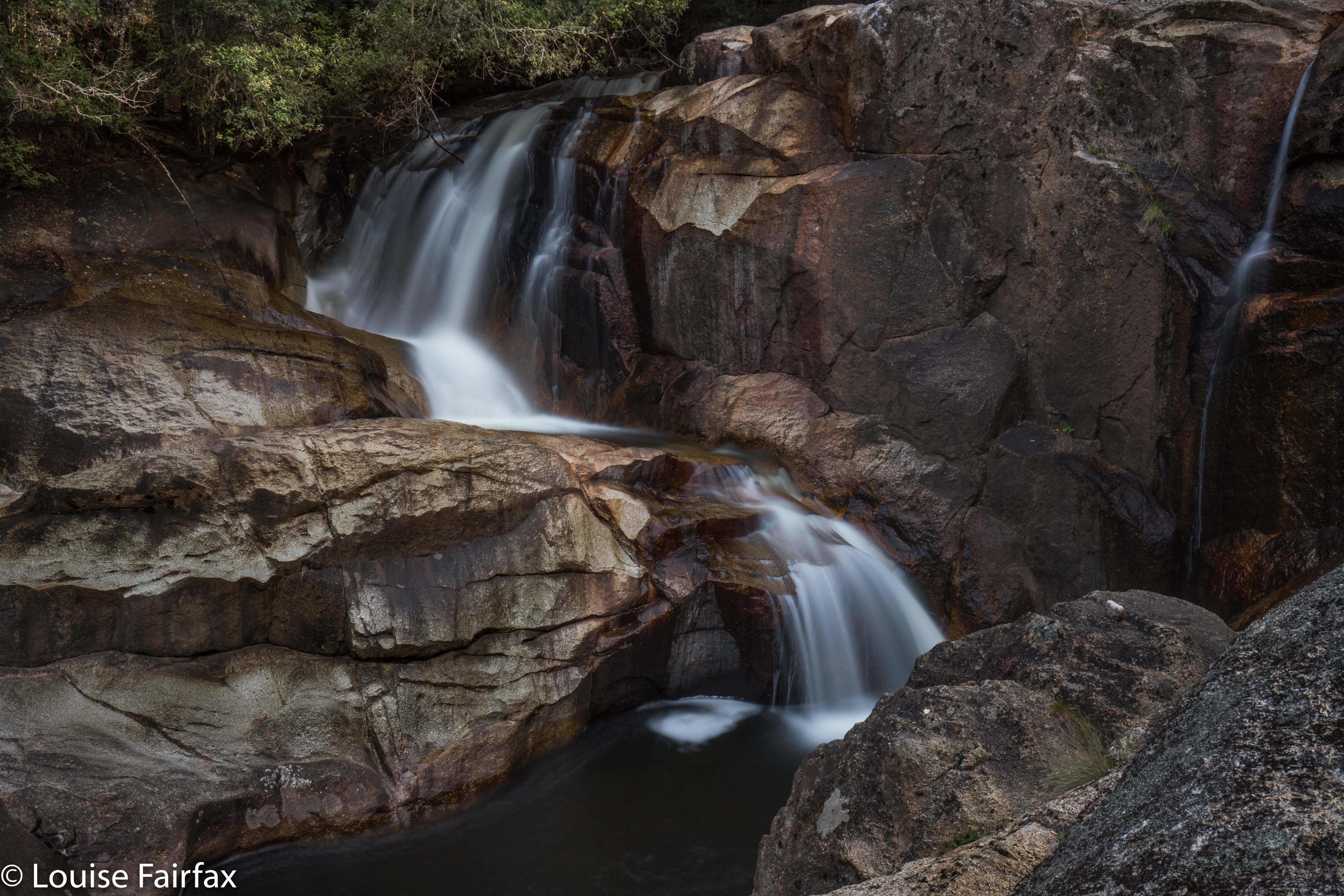
Harridge Falls 2018 Apr

Harridge Falls Apr 2018


Harridge Falls, tacked onto the end of our Cashs Falls mission, were a kind of consolation prize: at least I wouldn’t go home totally empty handed from our expedition. Craig kindly drove the extra distance to enable this.


As we both believe that bushwalking is best combined with coffee drinking and cake eating, we stopped at Crank It Cafe in Derby on our way through. In both directions passing through Derby, cycling-gear clad people of all ages were drinking coffee, coming in or out of the supermarket or parking their bikes preparatory to doing the above. The place seemed abustle with cyclists, which is fabulous to see. What a wonderful use of our glorious rainforest.


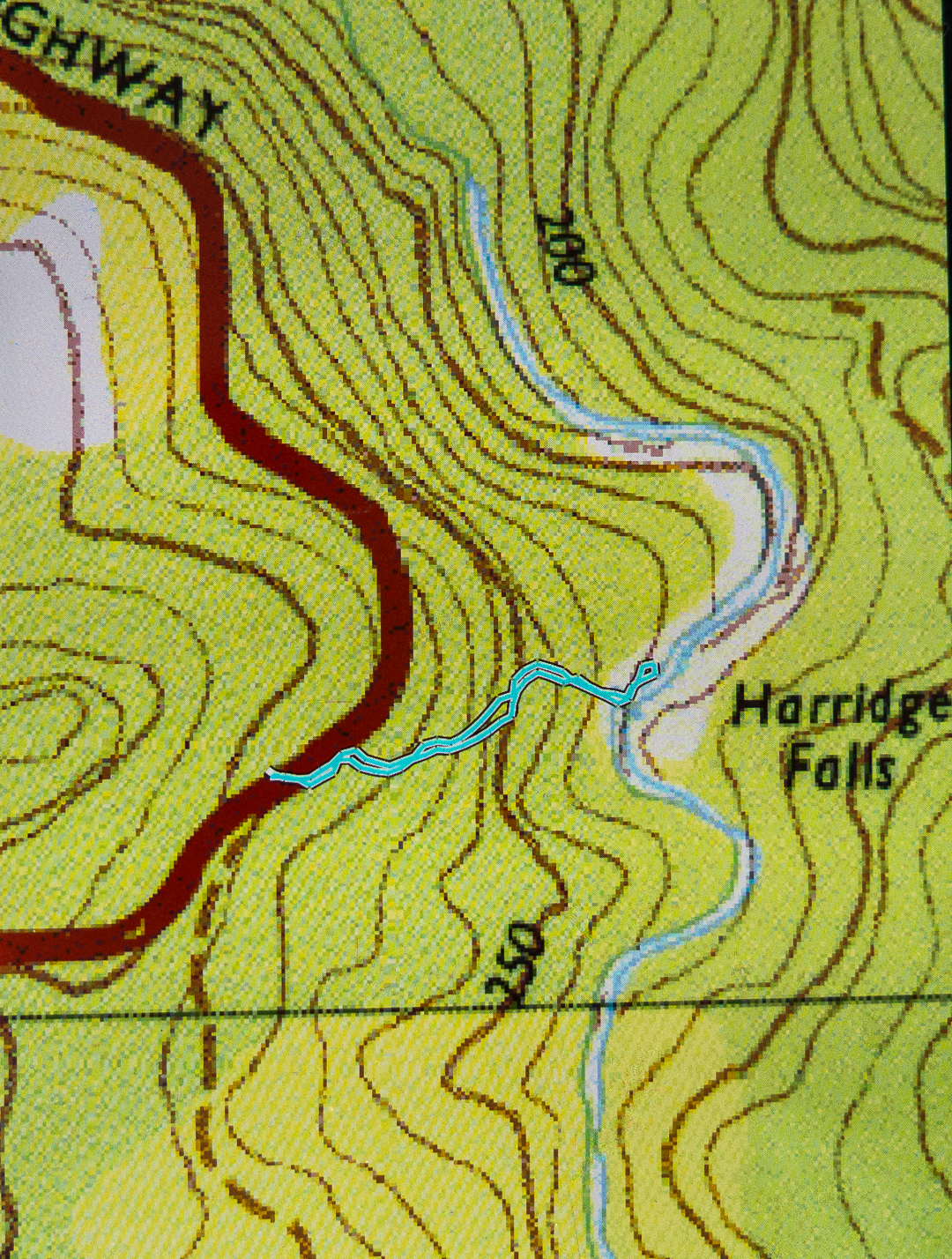
The Harridge Falls walk was only very short, but that doesn’t matter: we’d had our exercise at Cashs. The flow was not full strength, but, as Craig pointed out, that gave us more freedom to go places that would be covered were the volume of water its winter fullness. Even so, I was very wary of the sloping granite. I was more worried about my camera equipment than my body, but the effect is the same in deterring too many adventurous leaps.


As with Cashs Falls, the fungi were starting to appear for the autumn, and provided colour and interest to the forest floor. Unfortunately, passing motorists had tossed a variety of debris out their car windows, so the first few metres of the bush were less attractive than they should be, but once you were out of throwing range of cars, you were into a glorious place. Little wonder that the father of the Australian conservation movement, Miles Dunphy, hated touring motorists.
(See www.natureloverswalks.com/cashs-falls/ )


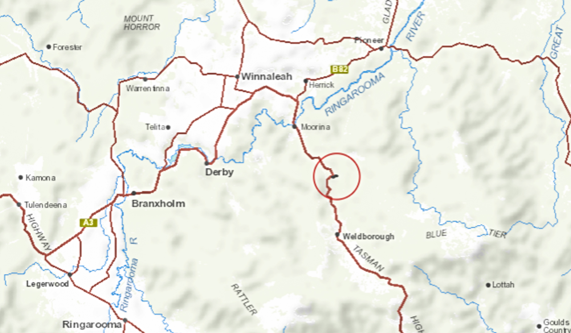
“Context statement”: Coming from the west, drive through Derby. Turn south to Weldborough on the continuation of the Tasman Highway, A3. Cross the Ringarooma River and start paying attention. When that series of sub curves is at its most easterly point, and where there is a four-wheel-drive track going into the bush, come to a screaming halt. You have arrived, and need to park where the dirt track provides some room. Overshoot, and you’ll have a longish drive before you can turn around. The pad to the falls is visible to the left of the 4WD track, and has some ribbons.