Cashs Falls (not) 2018 Apr

Cashs Falls (not), Apr 2018
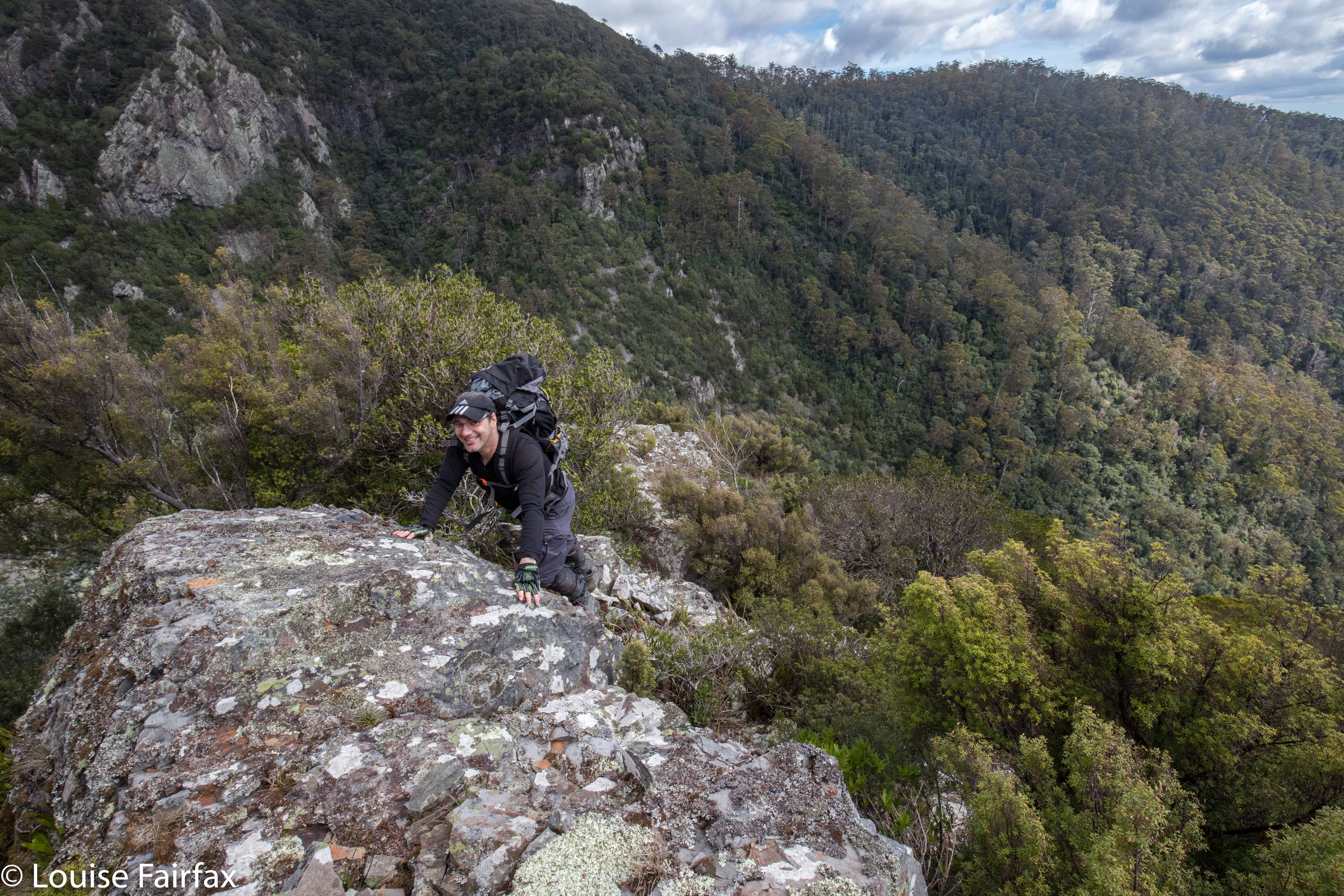

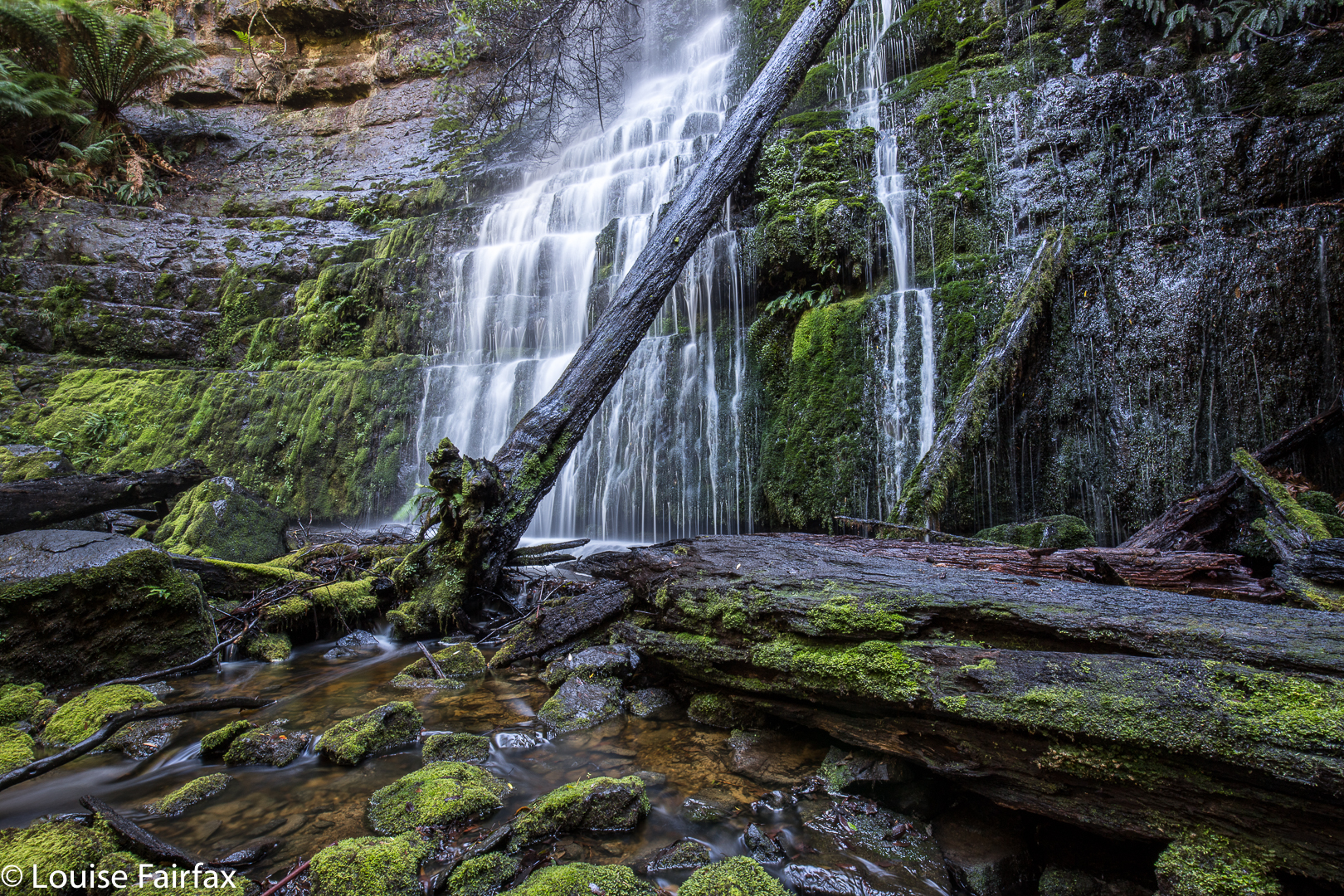
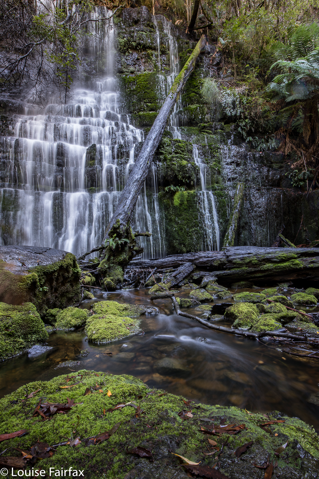
What is failure? What constitutes success? If you set out to achieve the impossible, realise it can’t be done (or, at least, not under the conditions of that moment), set new goals and achieve them, have you failed or succeeded?
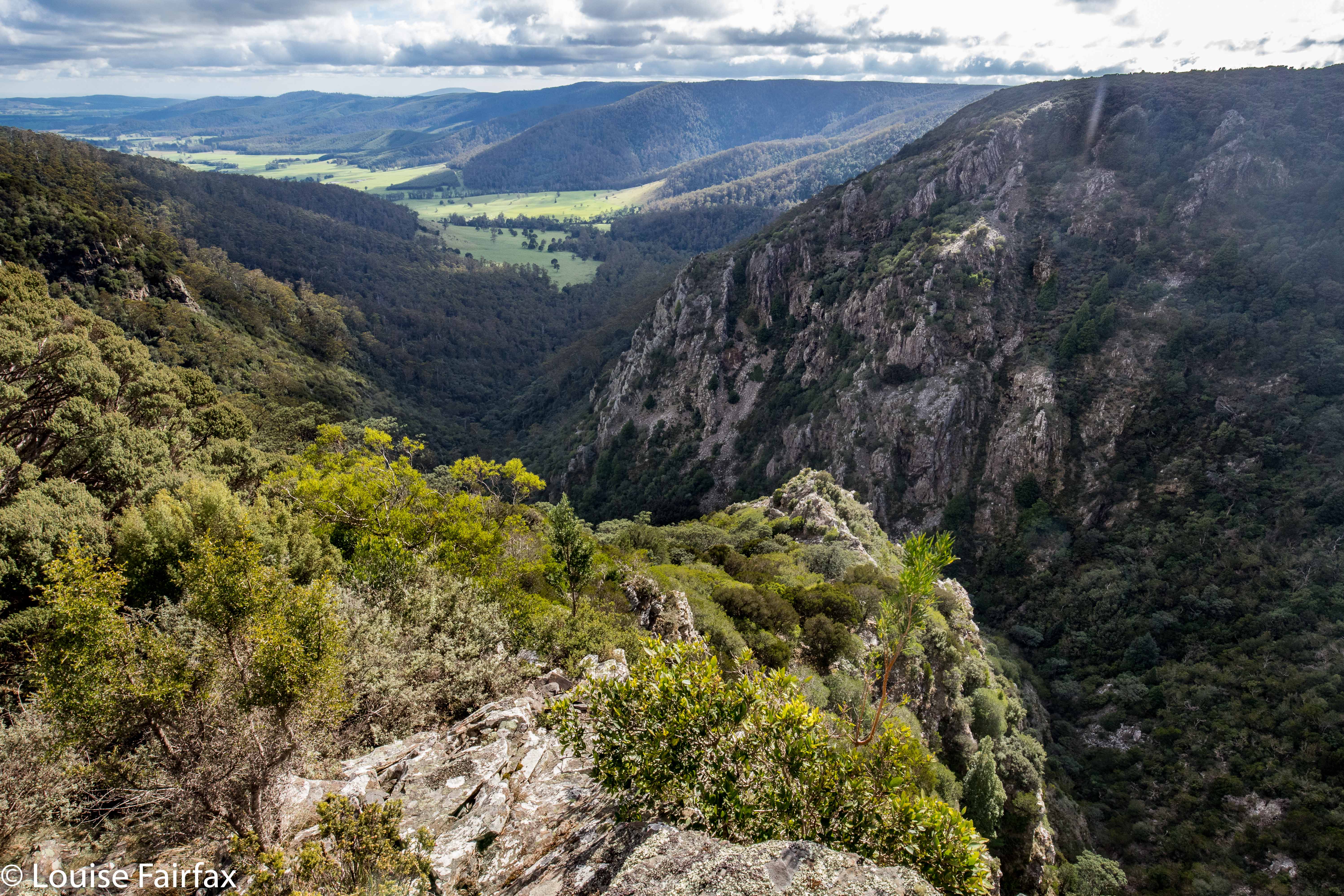

Cashs Gorge from the lookout
Craig Doumauras and I set out on what was, for both of us, a second attempt at Cashs Falls. Now, sure, we could persuade a friend with a drone to just get a shot for us, but what would be the fun or merit in that? No. For us, the need was to see the gorge personally, or not at all. But meanwhile, these falls were winning the protracted game of hide and seek we were all playing.
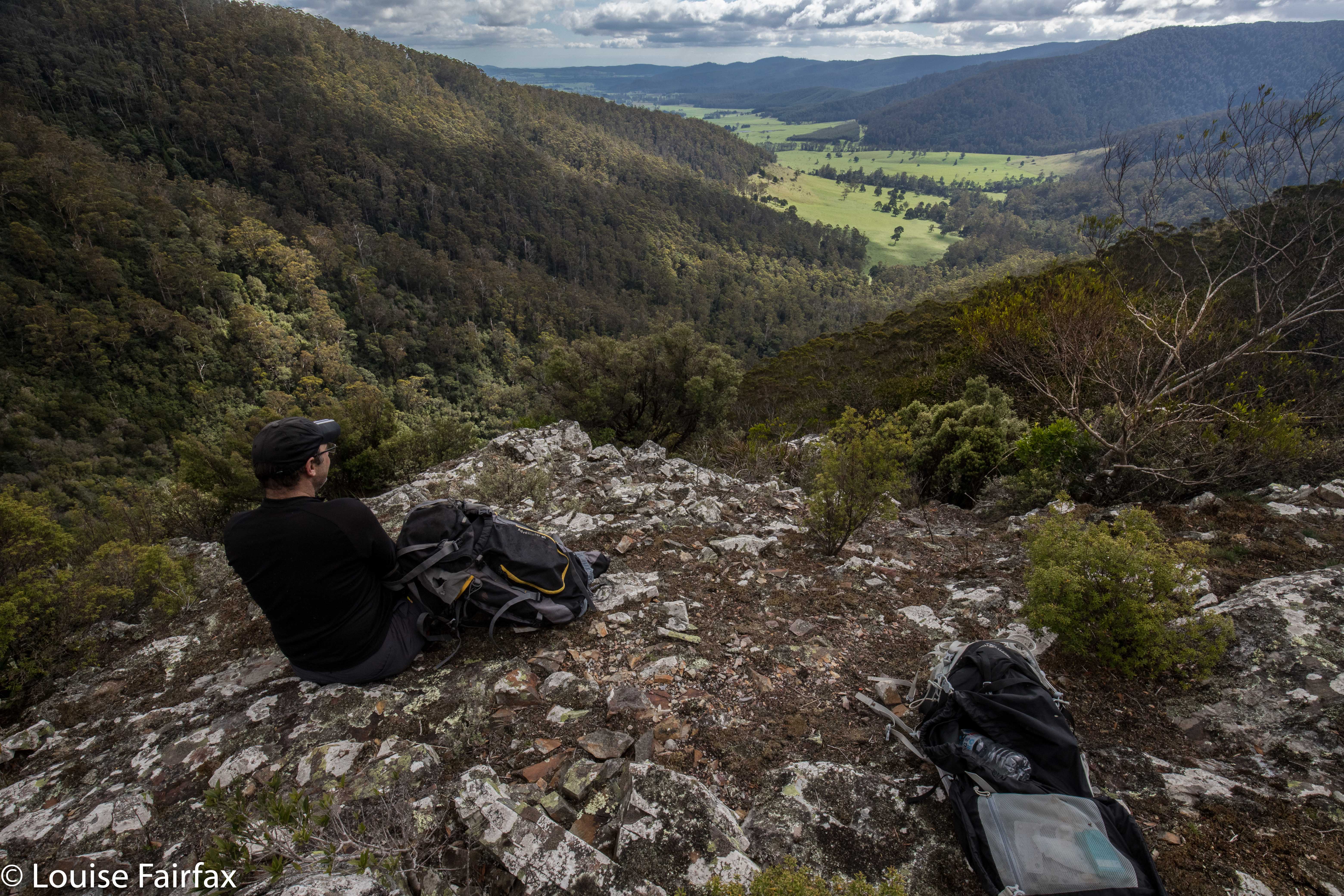

Lunchspot
Along the Ralphs Falls-Cashs Gorge Track we went, plummeting downhill at the agreed-upon point, where, the contours looked perhaps spaced enough to allow us through the plentiful cliffs of the area. At first, the leads went quite well, although at one point Craig lost his footing and fell a “warning” number of metres, just from a trip. We were in very steep country, and both exercised great care.
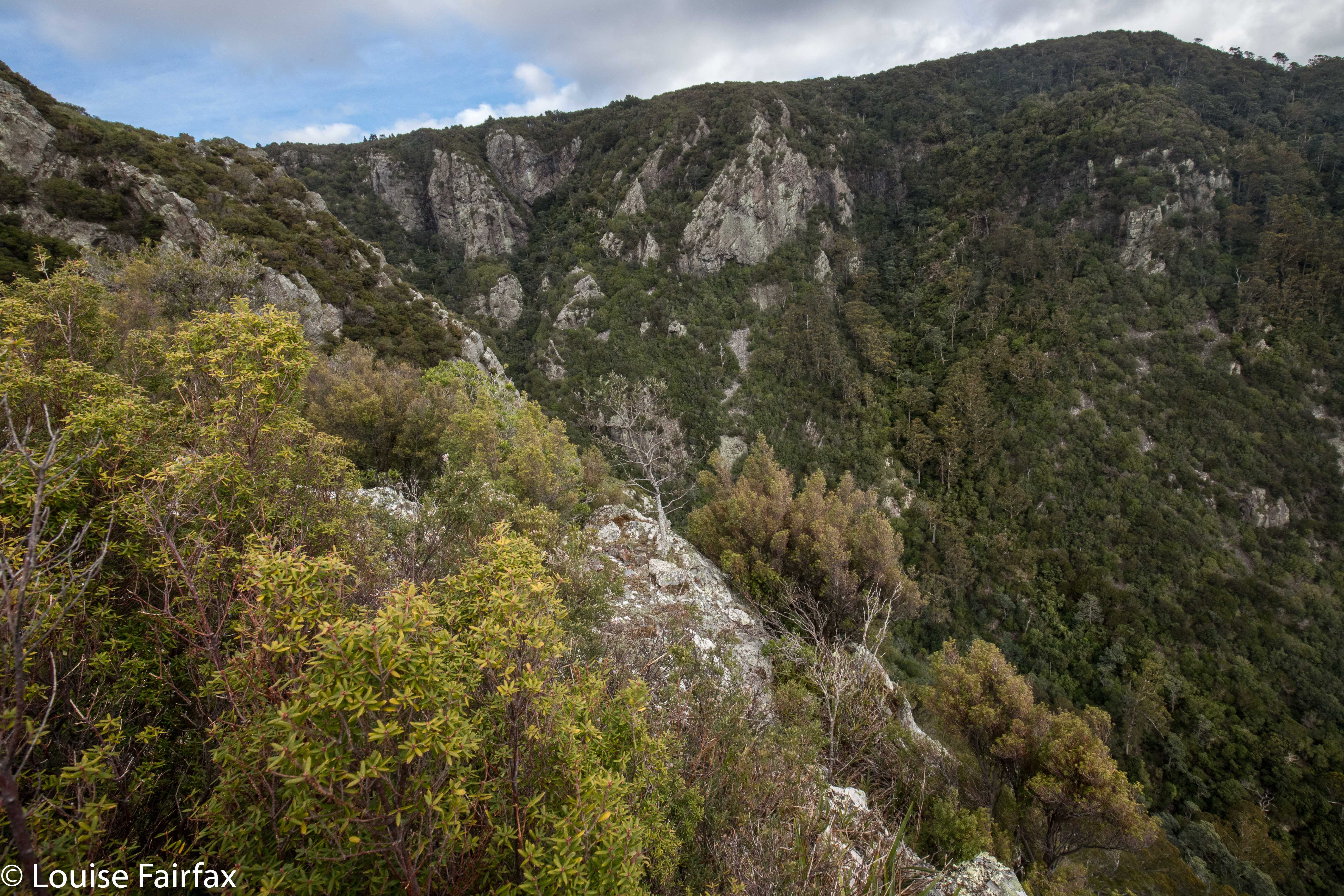

The land went from steep to steeper. We were still on the most promising area this side of the river, in terms of the map’s information, but all around us, unmapped cliffy obstacles were accumulating. This was hostile territory. Eventually, there were cliffs to left, right and in front of us. I am not prepared to slide down what I can’t climb back up, so we both agreed that we needed a new tack, and should climb back up the steep slope and try again on the other side.
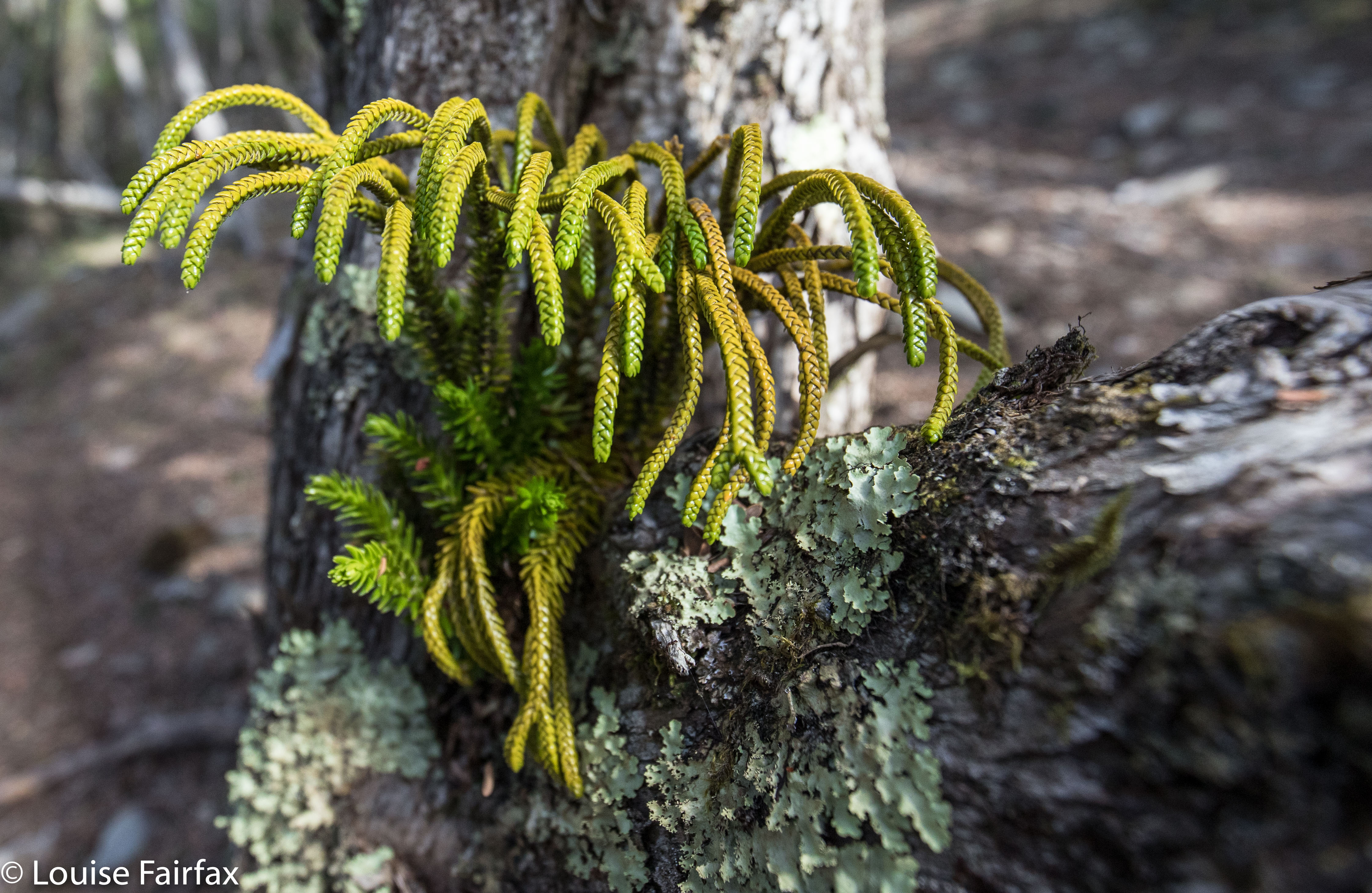

I am waiting the confirmation of an expert, but I believe this is Athrotaxis laxifolia, a cross between a King Billy and a Pencil Pine. Unbelievably, it is growing in a branch outlet of an ancient Leptospermum!
Off we set once more – around to the Cashs Gorge Lookout, across the river at the top, around the opposite (beautiful) spur, until it was time to descend. Now, when staring at the map from our first turn-around point, I noticed a bluff that might, with a bit of luck, give us a view of our grail, or, even better, produce a passageway that would allow us down to creek level. We agreed to make this bluff a preliminary goal. It was nice to have something to aim for. Given the totally obscure position of our bluff, we did wonder if we could be the first people ever foolish enough to explore this particular territory. That added spice to our adventure. Meanwhile, we were drawing nearer. At the very least, we were going to make this goal, and that felt like an achievement in this terrain. Would it yield a view? Na. That is, we had a gorgeous view, but not of our elusive falls.
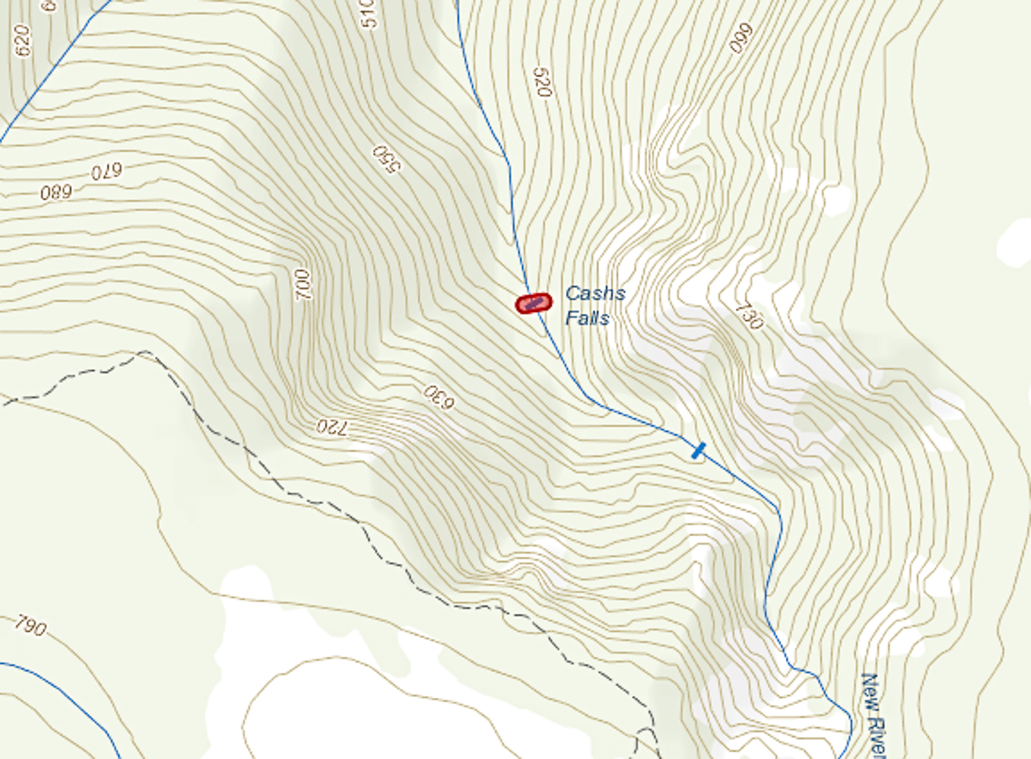

 (The bluff is the bluff feature to the NE of the falls depicted above).
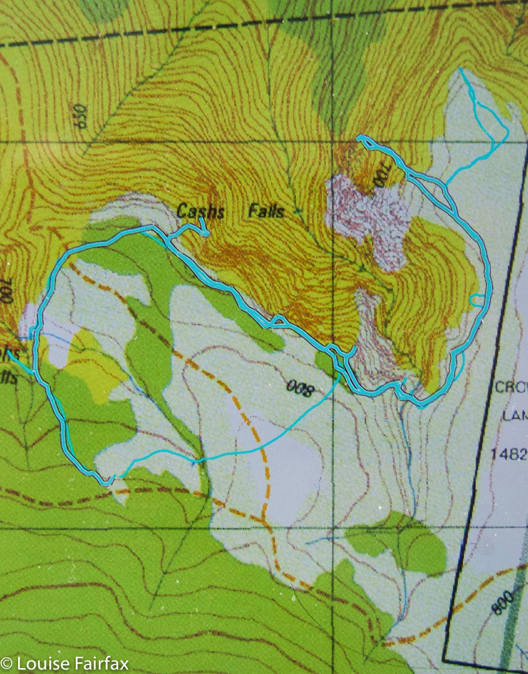

Interestingly, this map depicts the falls as being slightly more upstream than the map above from ListMaps. With a canopy that dense, how is one supposed to know?
We sat on our prize, our shapely little bluff that I christened Cashs Bluff, and had an early lunch so as to prolong our time admiring its unique vista. Somewhere below us, tantalisingly close, lay our falls, but there was not even a tiny speck of white to be seen, not a minuscule rush of water to be heard. Given the inaccuracy of the position of some waterfalls on TasMaps, we could not even be sure it was exactly where the map said it would be. It was a mythical beast that would not yield a hint to us today.
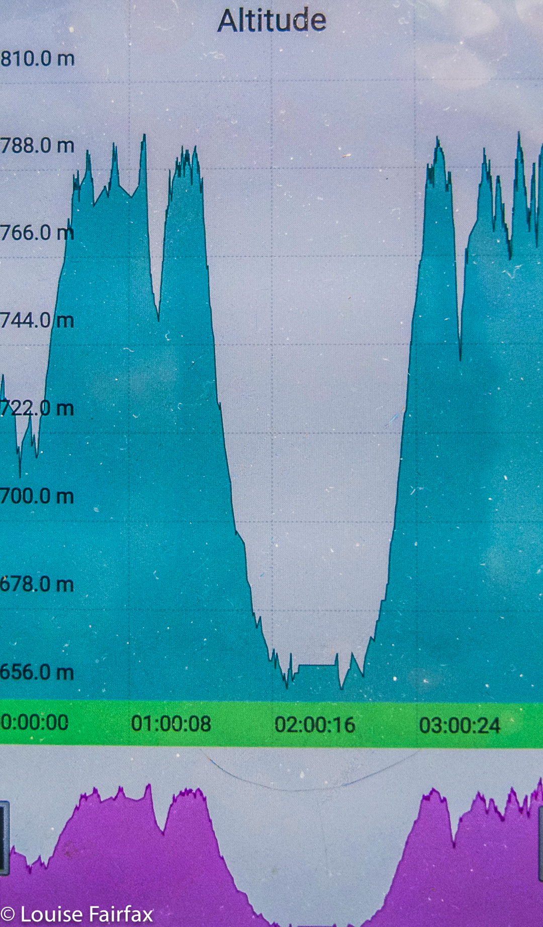

Our total height difference for the first climb was more than indicated here. I forgot to turn my tracker on before we were half way down the first descent.
Believe it or not, I haven’t given up on Cashs Falls yet. I want one  more try, and have planned my next route, but for this day, we both felt enough was enough. My track data said that by the time we’d returned to the car, we’d spent four hours on this exercise (including lunch and morning tea). We’d walked 7.5 kms and climbed and dropped over 300 ms’ elevation though thick, unforgiving scrub. It was time to visit a waterfall that was more welcoming of visitors (Harridge); one that would let us do this lovely thing called walking, where you put one foot in front of the other, and got somewhere. As for Cashs Bluff, we gave each other a high five once we breasted the top of the climb out from the bosky tangle. THAT mission was successfully accomplished, and we felt good about it.
For the rest of this day, see www.natureloverswalks.com/harridge-falls/
Shower Falls, Camp Falls 2018 TAS Peninsula Apr

Shower Falls and Camp Falls, TAS Peninsula, Apr 2018


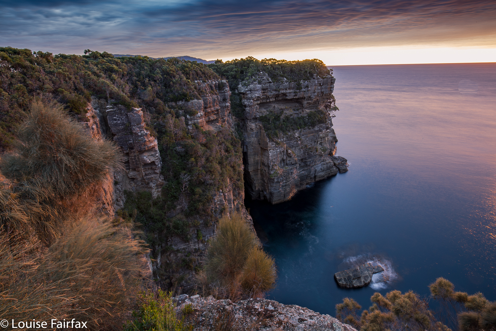
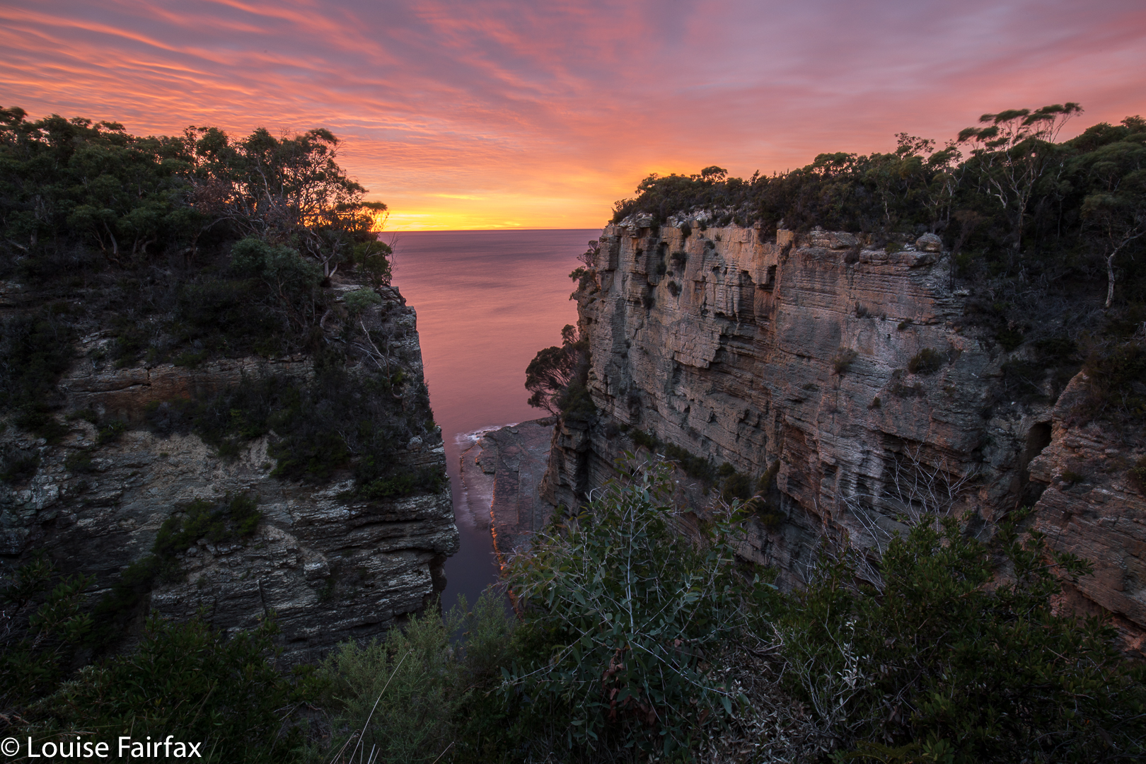
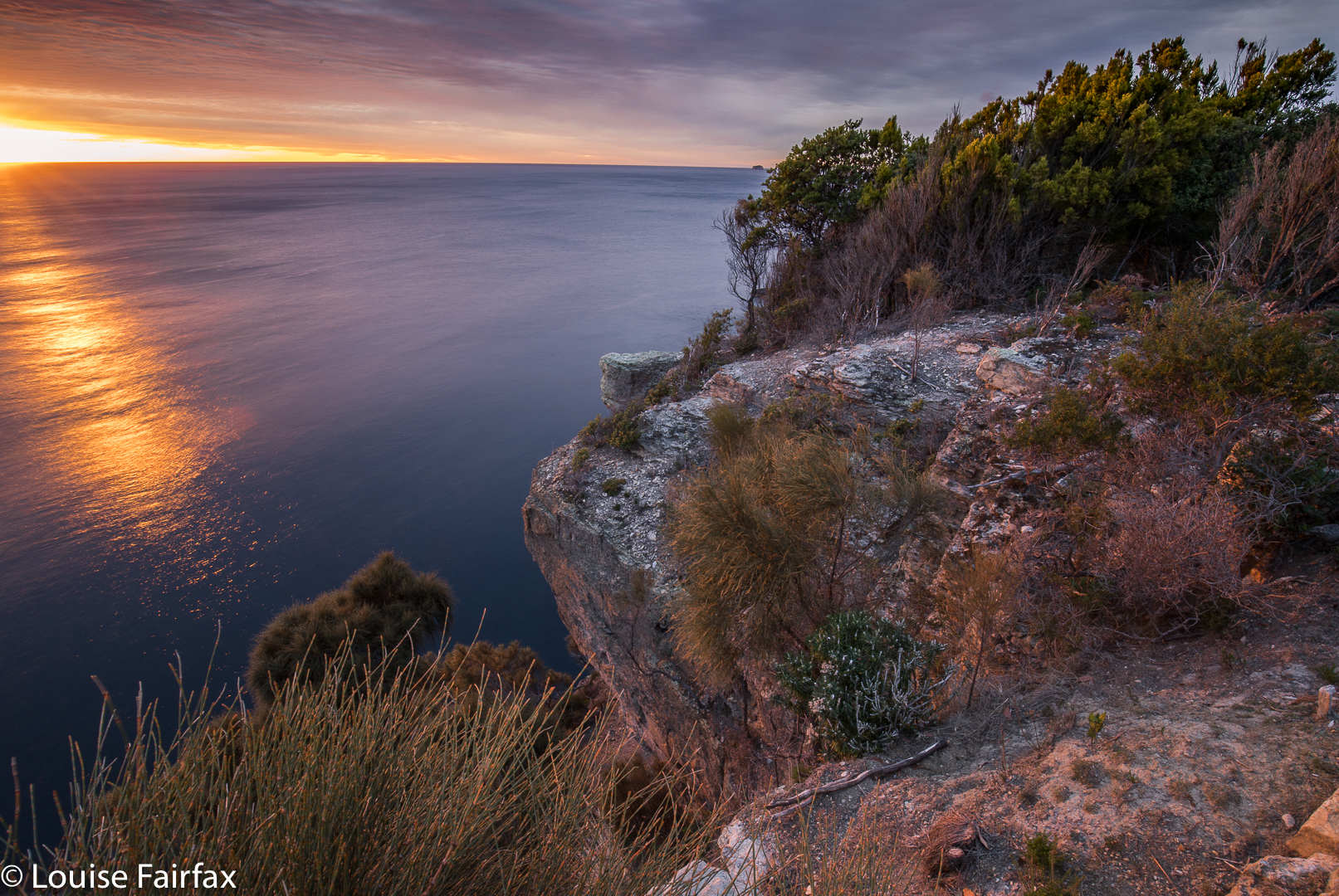
My family had hired a shack at Eaglehawk Neck on the Tas Peninsula for Easter, so I decided to use my close proximity to the Shower and Camp Falls to do a quick bag. I set my alarm for 6 a.m. to catch sunrise on my way (plenty of time, as sunrise was not until 7.17, so I thought), and fell happily asleep. Trouble was, my relatives had mislead me and I hadn’t double-checked. I awoke to a sky already pink (it was supposed to be black at that hour): daylight savings had begun in the morning, and not in the evening as they maintained. Of course, it is my fault too for not doing my own investigation on when the clocks changed. Meanwhile, I had all but missed dawn. Pity, as it was a nice one.


As you can see, I did at least catch the tail end of it, but had to use the huge railings as a tripod, as I didn’t have time to set up. The railings make my life rather tricky, actually, as they are so tall that when my camera is resting on them, I can’t see through the eyepiece: it’s too high. My camera doesn’t fit in the narrow strips between rails that they allow. In order to get a good photo, I need to actually climb over the railings, which I didn’t have time for on this morning. (I did the next day). They say they are interested in safety. It would actually be a lot safer if their railings were not so high so that those who want to see don’t have to climb to be able to do so. Don’t scoff you men until you’ve tried feeling what it’s like to be forced to look at nature from behind wretched bars.


Anyway, dawn duly photographed, I set off to find my waterfalls. I really hated the highway I now had to walk on in order to reach Waterfall Bay. It was wide, smooth, glary, manicured, totally unnatural and utterly boring. My feet dragged with the monotony of the smoothed-out, unchallenging surface. I felt like Shakespeare’s reluctant schoolboy drudging his way to the day’s orchestrated boredom. Twenty minutes later, I was at Waterfall Bay carpark. Oh joy and bliss. Here they haven’t “improved” on nature, and I was allowed to walk on an appealing narrow, unpredictable dirt path. No doubt they have plans to ruin it at some future date, and call that ruination “improvement”. On this little path, you could actually get to the edge and peep over if you wanted to. You got to think about where you placed your feet instead of going into robot mode, a brain-dead automaton. This section, alas, only lasted fifteen minutes, but it was a relief after the wide cousin that preceded it.


Shower Falls
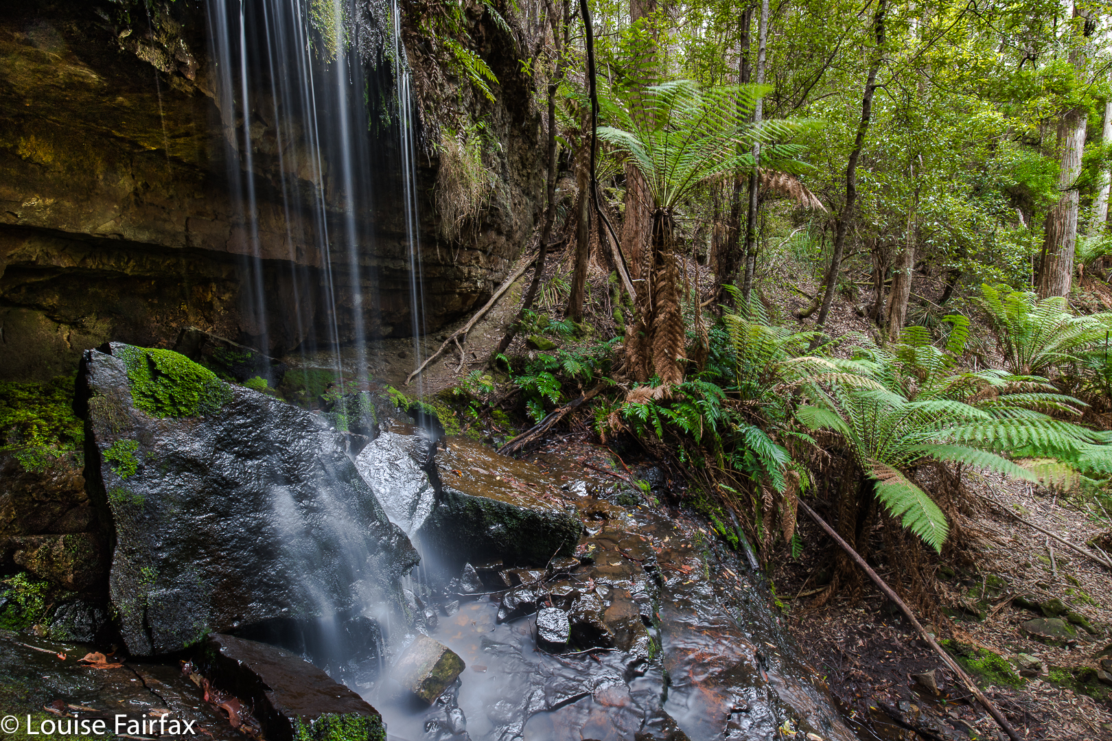
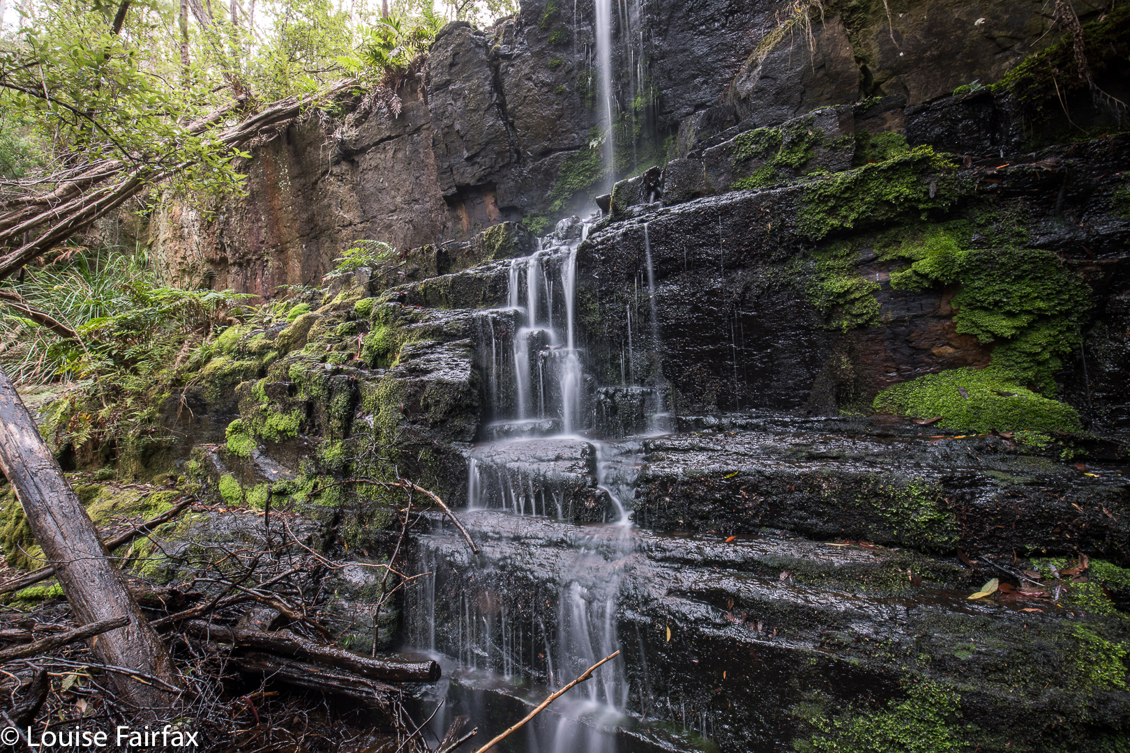
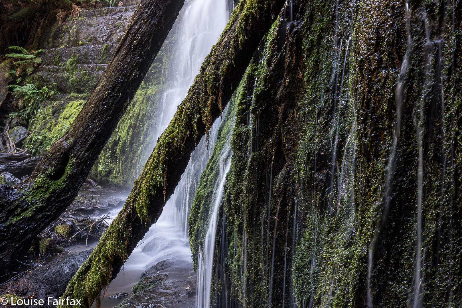
“Camp Creek”, as I have dubbed it (nameless on my map), was running, so I knew I would get something at the falls. As there was a nice little track leading to the lower Shower Falls, I took it first and photographed them before heading upstream to Camp Falls, which were just a tiny bit lower than the track.


Shower Falls
I definitely preferred Shower Falls. The way back was just a reversal of the way out, except that it was, for me, full of guilt, as I had taken longer than anticipated, and I knew the children would be eager for Easter Eggs. I was holding things up.


Camp Falls

Sharpes Falls 2018 Apr

Sharpes Falls 31 Mar 2018.


My daughter and I had just had a glorious time climbing Mt Sprent in the South West and sleeping on the Wilmot Range, but, being greedy, I also wanted to bag a waterfall with her – to share that side of what I love – so we decided to take in Sharpes Falls, just short of the Mt Field National Park, on our way home from Strathgordon. I knew she’d love waterfall bagging in general, it’s so like orienteering – except that there’s a beautiful waterfall to greet you when you’ve navigated well, rather than an orange and white flag: hey, much more fun. As for whether she’d like Sharpes Falls in particular, I couldn’t say until we’d seen it, but you have to see it to know, so off we set.


We’d parked at the boom gate at Newbury Rd (the turn to the west beyond the National Park. If you get to Sharpes Rd, you’ve gone too far west). We assiduously ignored all the signs that told us we were embarking on a very dangerous mission (everything one does in modern Australia is very dangerous; the words have lost their sting as councils yell “danger” at the sight of a caterpillar). Up the hill we progressed, past the quarry on the right (doubtless full of life-threatening horrors) and continued on, at first through a pine plantation that made us happy by reminding us of all the orienteering events we’ve done in forest smelling just like that, and further, to an ugly felled area. Neither of us likes felled trees – although felled pines are perfectly justifiable, they’re still not pleasant to observe – so elected to turn into the forest that contained our falls earlier than planned, just to create pretty scenery for ourselves.


The going was thus slower, but that’s fine by us, as we were not on a mission of efficiency. Our intent was beauty, so we enjoyed wending our way in lush forest above the creek that contained our falls (Sharpes Creek). We even found some early fungi, and lost of lush moss to excite us. The falls were definitely worth the walk of about twenty minutes in each direction.


On the way out, we decided to go the way that most people would probably want to come if efficiency was part of their game, just to test it out for this blog. Heading straight out of the falls to the east, we came upon some orange tapes. However, if you are not comfortable navigating, do not count on these tapes, as they can not be relied upon, especially near the logged area. This is not a waterfall for tourists.

Phillips Falls (i) and Lake Rosebery 2018 Mar

Phillips Falls and Lake Rosebery. Mar, 2018.


Phillips Falls as seen from above. Isn’t that beautiful?
My visit to Phillips Falls occurred the day after my Montezuma, Rawlinson and Frazer Falls extravaganza, and was not on my schedule at all. I had stopped for the night at the beautiful Lake Rosebery, as I planned to climb a mountain this day, but it had clouded in during the night, and, more importantly, I was starving. I had left my foodbox at home, and the West Coast did not do it for me for comestibles at all. There was nowhere I could think of nearby that would give me anything other than prefabricated cereal and even worse bread. The coffee I had had the night before (milk scalded, coffee weak) did not excite me about my prospects there. Queenstown has a decent cafe, but that was a long way away, and in the wrong direction. And what would I buy for lunch? That had my stomach in cramps and depression. Not for the first time, I fled the West Coast out of necessity for my kind of food. I am a fussy eater.

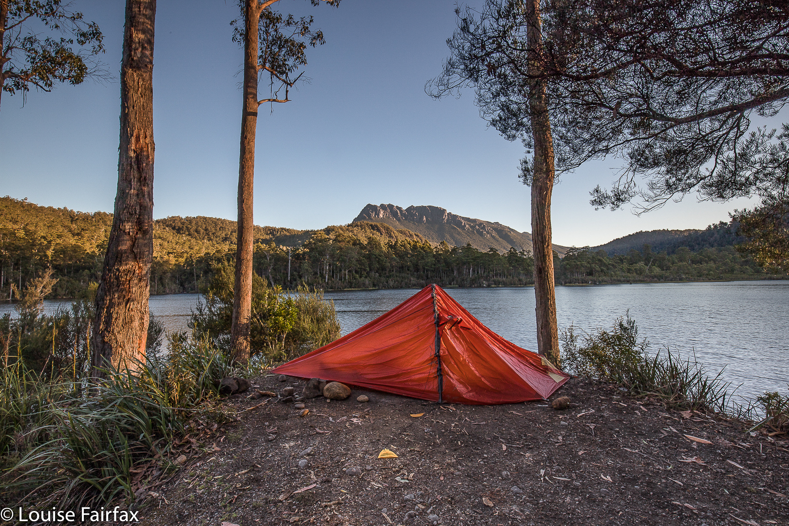
My tent spot at Lake Rosebery
So I ate fruit with coconut yoghurt, staring out at my beautiful redoubt for the previous night, happily remembering my 12.30 a.m. exit from the tent to a clear sky full of stars above Mt Murchison, packed up coffeeless, drove through a still-sleeping Tullah, and headed north, appeasing my hunger somewhat at Moina with a microwaved scone, cheap jam and pretend cream (how are they allowed to call that stuff ‘cream’?) and another weak coffee with scalded milk. Sigh. At least I now had some caffein in me, so that as I approached Mt Claude, I decided I might as well pop in and suss out Phillips Falls while I was in the area. I turned right up the C138 and drove over the saddle, taking the first turn to the right after dropping down (Cockatoo Rd – unsigned as such).

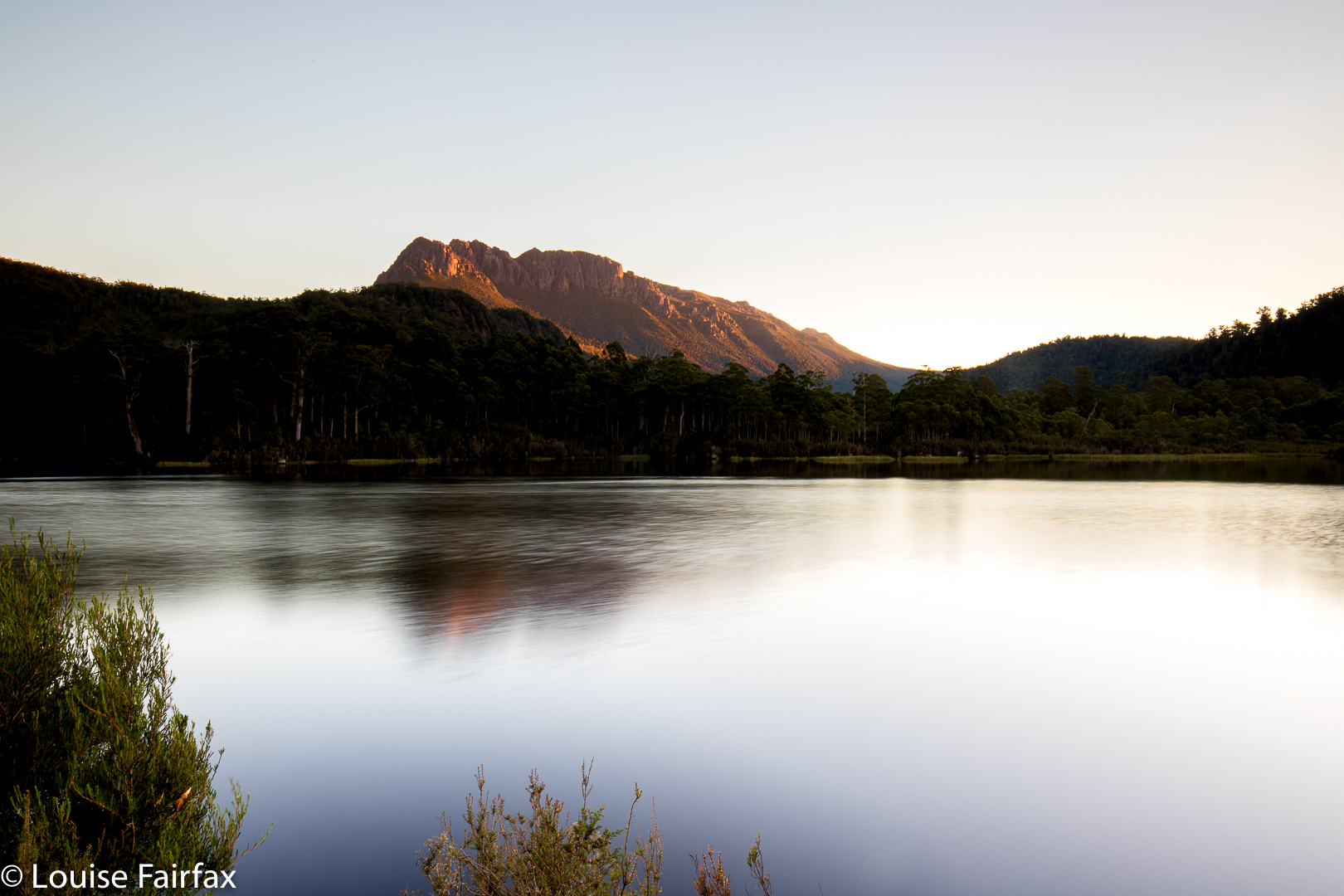
Evening settles. I watch it from my tent, pretty exhausted.
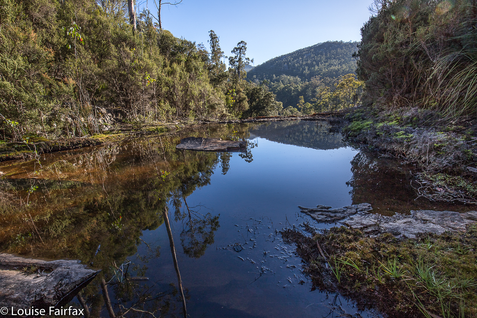
As I wasn’t expecting to be here, I hadn’t done any research, so parked the car and made my own way to the top, as with Frazer Falls, noting the huge drop to the bottom. The water wasn’t flowing, but I thought the pools with their reflections, and the hint of what would be if I came back after rain, were well worth the visit. I don’t think you’d normally get that lovely mirror effect were the water not so still. When I returned to the car, I saw that I had reception, so could then read that I should approach the falls from the Eastern side, and not hug the water as I had been doing. Then I would reach the bottom. However, as the water was not flowing at all, I was pleased with my recce, as I now know exactly where I want to go, so ended my visit and drove home.


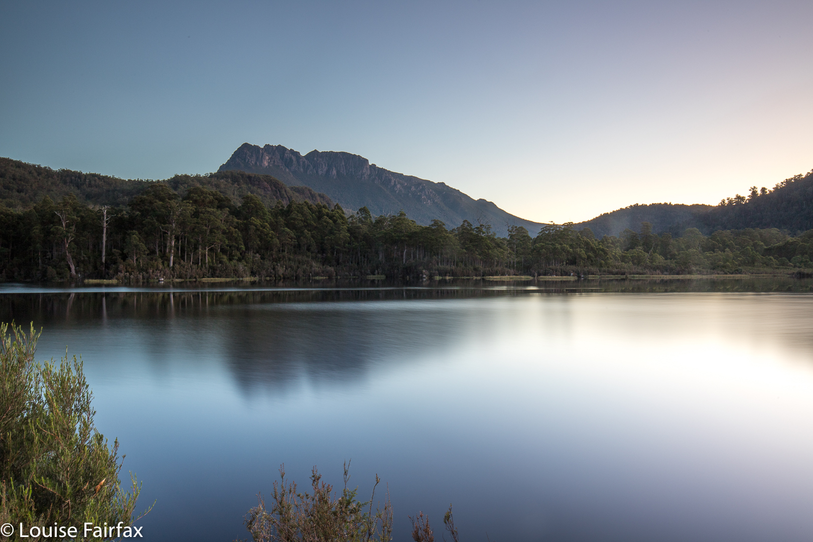
Another  LE shot of approaching night
As I drove past the Raspberry Farm, I popped in (ah, real food at last), and now had a couple of kilos of berries, which have been filling my pancakes and accompanying my croissants since. The aim of my game is to eat with enough speed and big enough helpings to beat the growth of mould. So far so good. Pity I was greedy and bought 4.5 kgs. I have a lot of homework to do. Perhaps my blog should be called ‘diary of a famished photographer’.