Upper Liffey Falls 2017 Aug

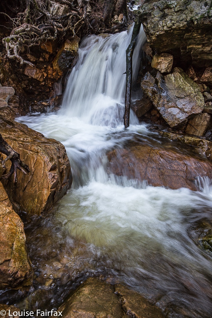
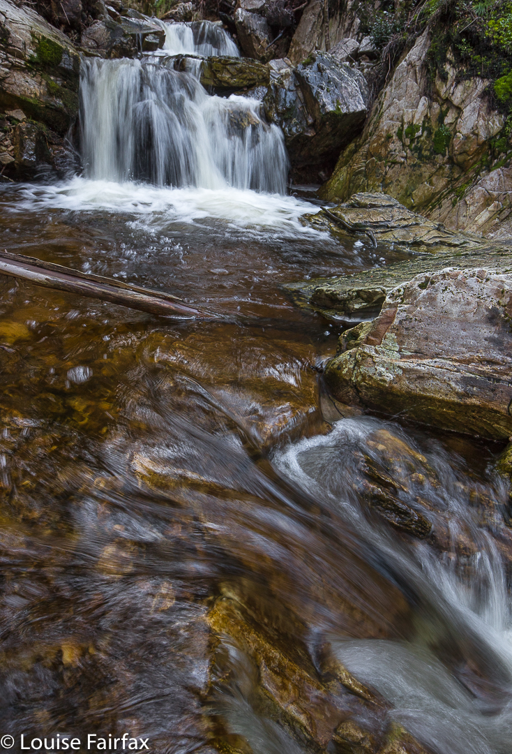
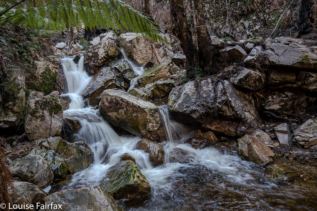
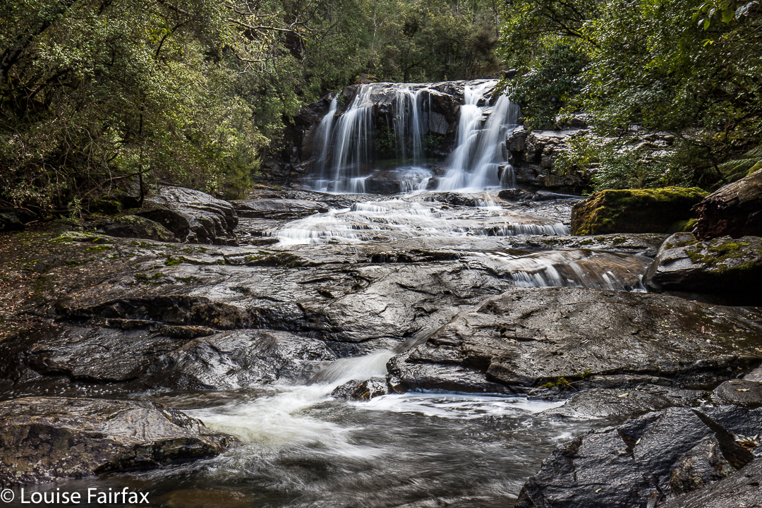
Upper Liffey Falls in the snow. August 27 2017
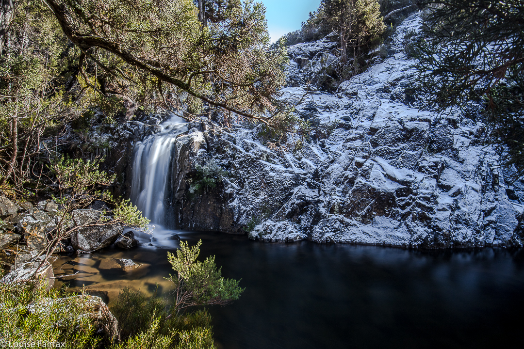

Upper Liffey Falls in frozen glory – just what I wanted.
The forecast for today was snow down to 300 ms. I figured it might possibly be cold, and a bit unpleasant for a jaunt that would last too long, so I chose Upper Liffey Falls (and its nearby mate, Montana Falls – see separate blog under that heading) as my option for such a day. Upper Liffey Falls shouldn’t take too long. I told my husband to bring a good book, as I didn’t think an icy waterfall would be suitable for him. This was one to do solo. He could join in on Montana Falls.
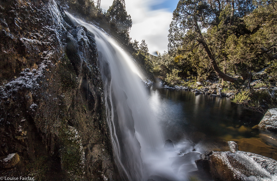

It was kind of hard to find a good place to park the car, as off-road was very icy and covered in snow, but on road seemed asking for trouble. I eventually found a spot near to where I wanted to launch myself into the white wonderland that was a compromise between the two, and off I set, not sure what would be in store. It was a bit bushier than I expected, and the branchlets were laden with snow, so any hint of a track was not exactly clear, and I kept being bombarded with tiny snow missiles. Every now and then, I found tapes, which let me know I was going where others went. I’m sure that in conditions in which the ground is not covered in white powder, things would be clearer.
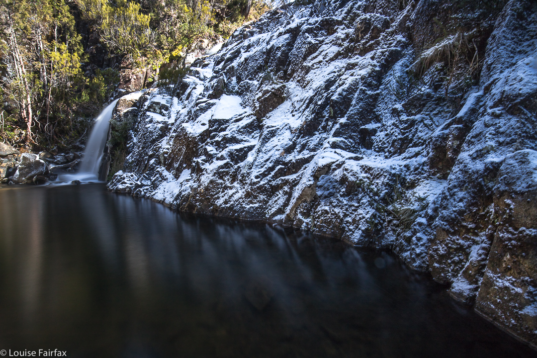

Anyway, nothing mattered. I knew exactly where I was going in the grander scheme of things – I was just being a wuss and seeking the path of least resistance so as not to get covered in snow as I went. The temperature outside the car was “only” zero, but that didn’t take into consideration the wind chill factor, which felt pretty extreme. I was glad to drop out of the blast as I descended to the falls. It was another case of “make your own way down”, which is fine, even in these icy conditions, although I did take it slowly. No one was going to come and rescue me if I was hasty and slipped and hurt myself.
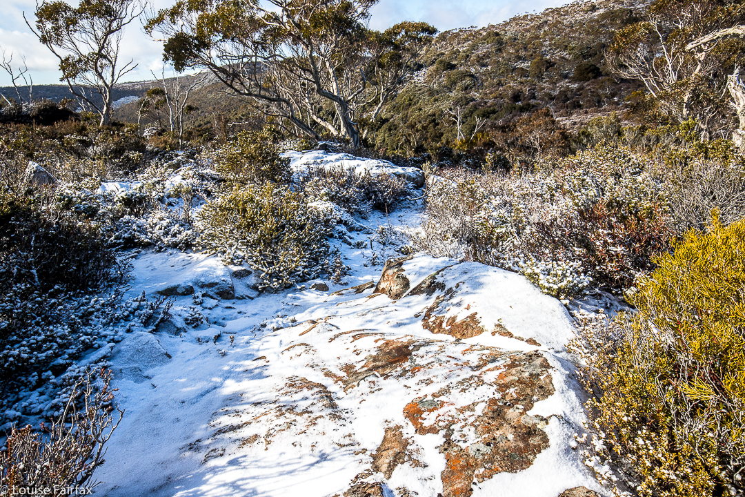

This is a non-bushy section up the other side. That looks like a track , but it’s not. I don’t think there is one up there. The bushy bits are lower down.
I was a bit disappointed not to have more snow surrounding the falls, but I’m just being fussy. I was, however, downright peeved to have the wretched sun come out just as I was preparing to shoot. Lucky I had my stoppers, polarising filters and other toys to hand. The shots are 30 second exposures, which is long enough to flatten out the water and give a silky flow, but not so long as to turn the whole thing into a white blur. I hope you enjoy today’s “catch”.
I had heard of these falls quite a long time ago. I’m pleased to have seen them in real life at last.
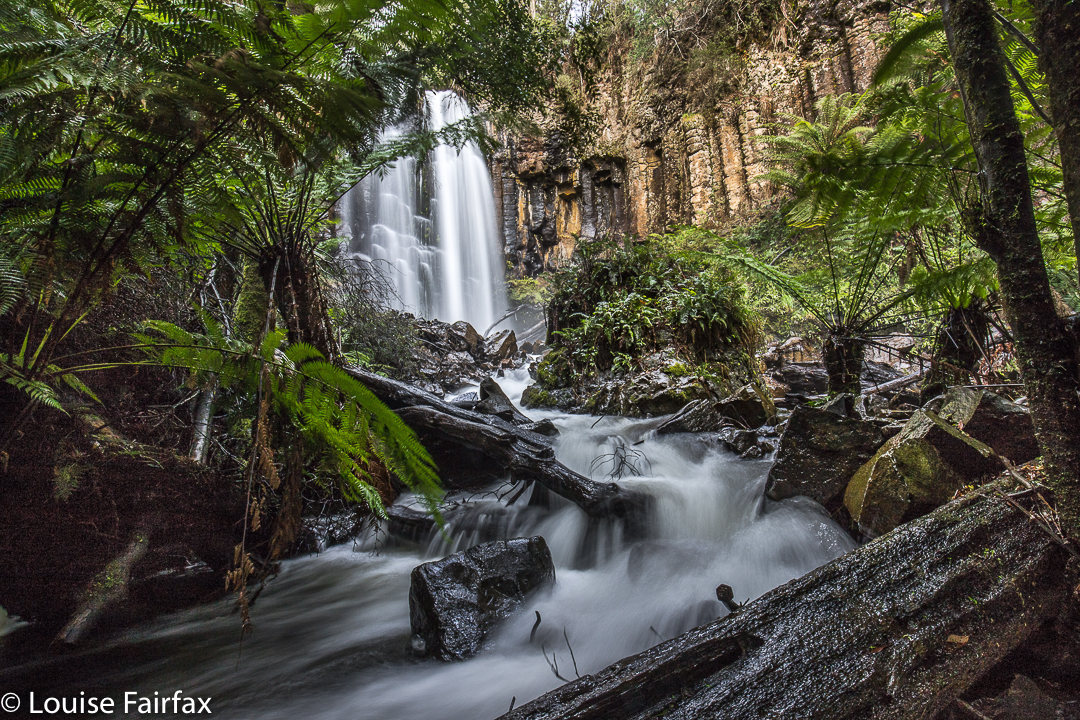
Cam Falls 2017 Aug

Cam Falls and Owen Brook Falls. 24 Aug 2017.
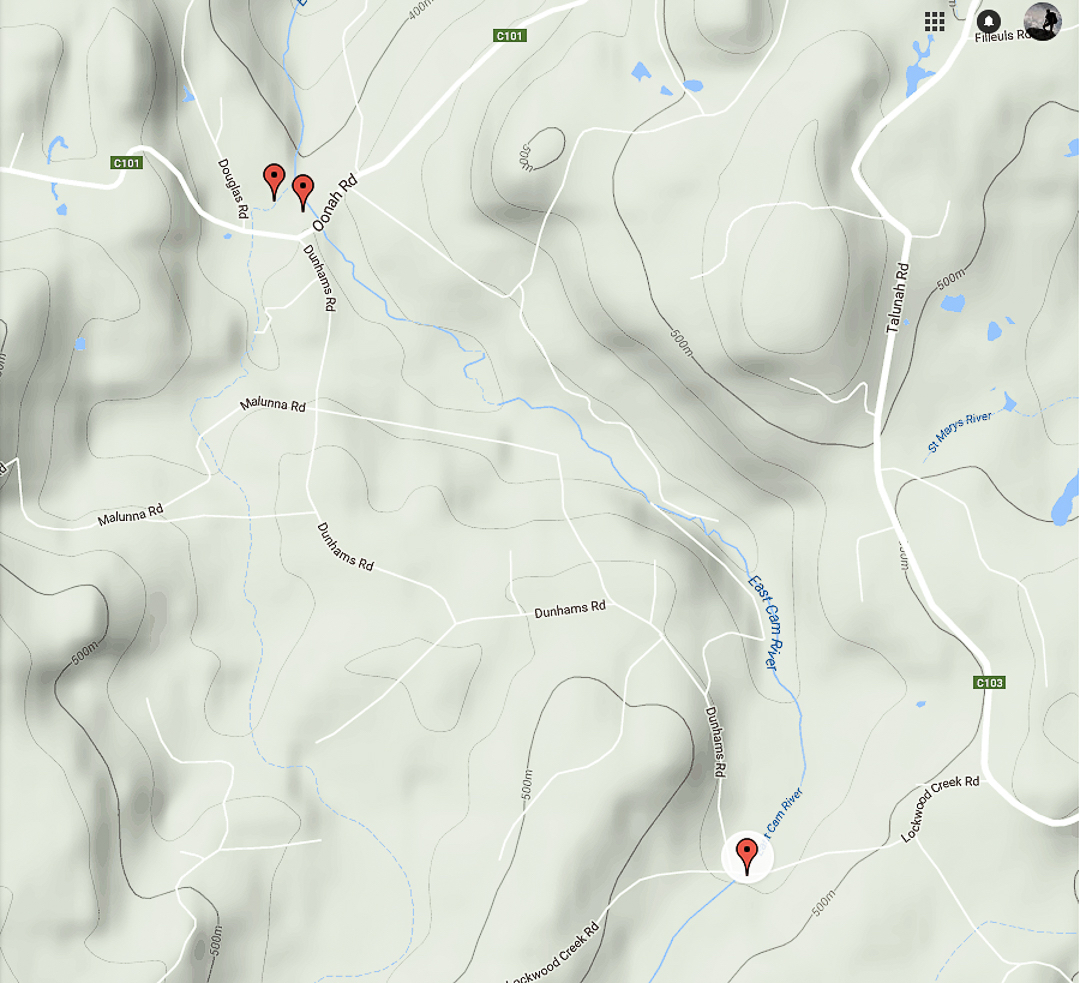
Being somewhat new to the waterfall bagging business, I was really confused about whether the Cam Falls and the Upper Cam Falls were the same thing. Many web sites depict a waterfall and name it the Cam Falls, but the picture is actually of the Upper Cam Falls, which is confusing if you’ve come in from the outside. The Waterfalls of Tasmania website does not list the Cam Falls as either a documented or an undocumented feature of our environment. Wikipedia kindly has them both, and the wiki-map cleared up for me the confusion about where each one was. See the map at the end of this article.
We had a free day on Thursday. It seemed like a nice waterfall sort of day. Off we set. I decided to tackle the easy one first (Upper Cam Falls), so that we didn’t return from the drive empty handed. Good idea. What a delightful waterfall this is! For directions, see
www.natureloverswalks.com/upper-cam-falls/


These are the Cam Falls (without an “Upper” prefix). I cannot find another web image of these falls.
To get to the Cam Falls, we travelled along the C103 until its intersection with the C101. Where they met, we turned left and went to the end of the bitumen.
We parked by a green, corrugated shack (which I knew about from a different useful post), and I went to ask permission to see the Owen Brook Falls, which are in a paddock behind the house. My web source said this person was friendly and granted permission. However, there was no person, and the shack was broken down and vandalised. I decided to see the Cam Falls first, as these were also in walking distance from the dwelling, on the other side. This took a very long time, as I was super cautious descending the excessively steep and not-necessarily stable slope, choosing trees that might take my weight, finding footholds that wouldn’t give way. What an impressively steep gorge!! There is a railing up the top to allow you to view and lean a bit without killing yourself, but I would not take children near this place unless they were on a lead. I would also not descend unless really competent and experienced in this kind of untracked steep terrain. If you do, please remember that you do so at your very own risk and don’t think it is someone else’s responsibility to keep you safe. My husband did not attempt either descent.

The Cam Falls were on the East Cam River. The Owen Brook Falls are on Owen Brook, which joins the East Cam just below both falls. The gorge area was fantastic and I would have loved to have explored for longer, but we hadn’t brought our lunch, and I was (as usual) starving by now, so we left, contented, and eagerly headed for our next treat – savoury food at ETC, and dessert at the Raspberry Farm. We love this post-walk ritual. Tessa considers herself to have bagged three more falls.

Gads Falls 2017 (Lower)

Gads Falls 19 August 2017
Gads Falls truly intrigue me. I first read about them in a website that made them sound simple, although it said they’d been destroyed by fire, so wait a while. However, following the recent reopening of the Mersey Forest Road, I saw web shots  depicting images of what could now be seen.


Meanwhile, I heard an old-timer from LWC talking about them as we passed nearby last weekend, and he commented: “It depends what you mean by Gads Falls. There are many falls. The first few are easy. They get harder as you go along, and the final one (here he sighed), that one is very, very hard and only for the brave.” He shook his head. Hm. Now I was curious, to say the least, although, as I don’t see myself as being very brave, this wasn’t like a dare or goad. He implied it was very steep and that the scree was loose. A different old-timer pointed out the real ones to me, much higher up than any short walk would be; you could just see them peeping out very high above.


On Sunday, my husband and I happened to be passing by the base with time on our hands, so I decided to pop in and do a recce. As I had no idea what to expect – wasn’t sure how to interpret what I’d heard – and as this was therefore only a recce, I didn’t bother with a tripod. Thas quite good, for what I encountered just getting to some of the lower cascades, was very, very steep and loose, with slopes plummeting down into the various little falls (if you wanted to reach their base, and I did). River crossings needed two hands for balance. No single tumble would kill you, but it could easily break a bone or two, and I wasn’t in the mood for that on Sunday. Also, I didn’t know exactly what would happen if a landslide began, and my curiosity didn’t extend as far as wanting to test that one out. I was very cautious indeed, which meant that the short time indicated for each direction was way under what I took, especially as I did indulge in a few photos of each cascade. Meanwhile, I plotted my attack for what is called Gads Falls on the map, the ones indicated by my second old timer, and which are much higher than any web photos I have seen. A third knowledgable person told me the only photo he’s ever seen was taken with a drone. I’ll let you know if I get to the top ones. Don’t hold your breath waiting.


Re the spelling: Gads Falls seems to be favoured by Tourism Tasmania, whilst Forestry confused people by writing Gadds Falls on a signpost (not for the first time have sign posts in Tasmania confused people by having a cavalier attitude to spelling. Poor google has enough trouble trying to find our little island without that!). As ever, I let the map have the final say, and my map, having not consulted Forestry, spells it Gads Falls, so, Gads it is.
To go to the easier, lower cascades, park in the quarry to the north of Gads Creek. You can do as I did and bushbash to the creek and cross over, which is tricky in these winter high flows, or do yourself a favour, as I did on the way back, and cross the creek on the road, and proceed upstream from there. You will come across the odd marker that has survived the fire, and see bits of remnant track, but the distance is only a few hundred metres, so just work your way upwards. You can usually see where other humans have trodden. The moss has been mostly burned, but the cascades and stream are still very attractive.

Meetus Falls 2017

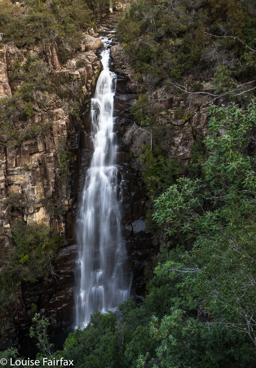
Meetus Falls 16 Aug 2017
It has been raining for ages. Where I park at the gorge, the water was so high that the huge skip garbage bins were floating, and my car was an island, out of which I had to leap in order to keep my feet dry. (Funny that no other people seemed to try this method of parking). Surely this was a great day to find the Lost Falls (that only flow under such conditions) and their nearby neighbour, the Meetus Falls.


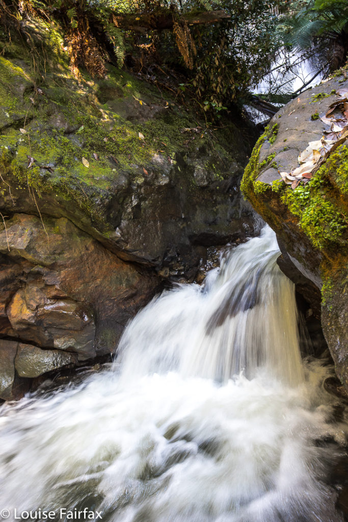
Above are some beautiful cascades that are below the Meetus Falls proper, on the Cygnet river.
The Lost Falls were a lost cause (http://www.natureloverswalks.com/lost-falls/) – that is, we found them, but they lacked water. However, the Meetus Falls were flowing nicely. Tessa (dog) bagged both, as did my husband. And they both reached the river at the base of the falls. The path down had been very muddy and slippery – so much so that I led them on a quasi bushbash on the way up. It wasn’t really a bushbash, in that I followed what must be a path from yesteryear, still mostly discernible on the ground, and much easier than the route we were supposed to be on, which was mud with no catching points.


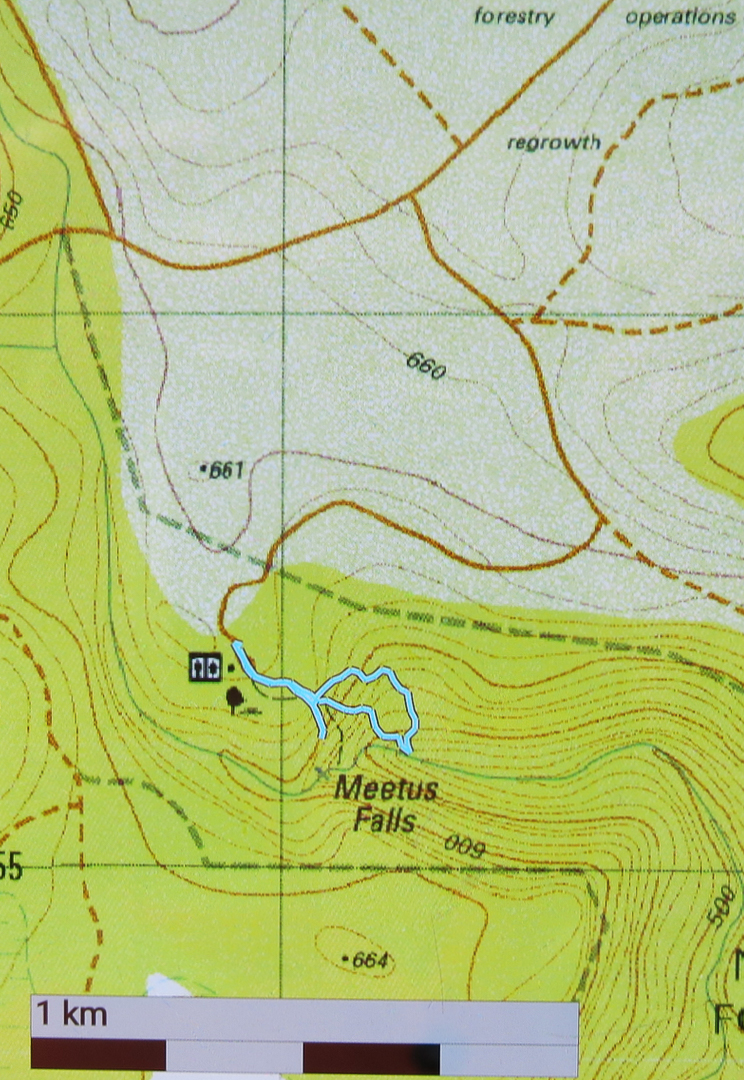
To reach these falls, drive to Campbell Town, and turn east along the Lake Leake Road. Continue on past Lake Leake (and Lake Road that leads to it), and past Kalangadoo – the petrol station cum general store further along on that road – until you come to a huge intersection with traffic islands to each side. For Lost Falls, turn right and drive “4 kms” to their turnoff proper (see the blog on Lost Falls for exact details). For Meetus Falls, turn left (north) and drive 11 kms. A turnoff will then direct you right to the falls. At one stage in the final section there is a Y-fork with no signs. I chose right (see map below) and found the falls. On the return, when heading back to the Lake Leake Road, I came upon another unsigned Y-intersection which presented me with a choice I didn’t feel like making. I chose left and found the highway, but kept wondering if I should have taken the other alternative. I was very pleased to find the traffic island and advisory hut that signalled the approaching major road. I was starving by this stage, and didn’t feel like being delayed by error.
Lunch at Zeps was as delicious as ever, and made more so by my extreme hunger.


Just for your interest, the path going down (the more northerly section of the circuit I made) is the official one. The more southerly part was, firstly, me getting a better view, and then us going straight back up rather than re-using the mudslide. The conditions were far too slippery for me to attempt a traverse over the rocks to the actual base of the falls. Another day, a different pair of boots.

Owen Brook Falls

Owen Brook Falls 2017 Aug.
Our trip to the Owen Brook Falls (south of Burnie in the Ridgley area) began with a trip to the Upper Cam Falls (route details in the blog of that name, viz.: www.natureloverswalks.com/upper-cam-falls


From these, we returned to the C103 and continued northish until that road intersected with the C101. At this stage I was a little unsure as to what to do next, but there was a very nice man nearby, a local, and I was wondering if he might be the person I needed to ask to get permission from to go to these falls (or might at least know whom I should ask), so I asked him about the finer details. He was very helpful, muttered nothing about private property or keep out, and told me exactly where to go, which was to turn left onto that branch of the C101, and to drive 3 kms to the end of the bitumen.
At this point there is a very rundown ex-house, where one used to ask permission. With no-one there, I just went across the paddock behind said “building” and headed for the falls, which were, as you can see below, rather hard to get a good view of. You would be mad to not take in the Cam Falls along with Owen Brook, as they are very close to each other, in gorges that meet just below each fall. (The Cam Falls were on the East Cam River. The Owen Brook Falls are on Owen Brook, which joins the East Cam just below both falls. ) Take your lunch, and then you can explore the gorges more than I did. Hunger pulled me away.
This is the base of the Owen Brook Falls from as near as I was game to go in the slippery conditions of the day. I was unwilling to climb any of the mossy, near-vertical rocks on offer to try for a better shot of the falls, which are huge, and whose base part A can be seen at the top of the image. I was also hungry, and if you haven’t yet worked it out, my stomach rules. This was as good as it was going to get this day, and this is the only web image of the Owen Brook Falls I can find, so you are not allowed to complain. 🙂


The top two pins are the Cam (R) and Owen Brook (L) Falls. The bottom pin locates the Upper Cam Falls.
See also www.natureloverswalks.com/cam-falls/