Upper Cam Falls 2017 Aug

Upper Cam Falls 2017 Aug

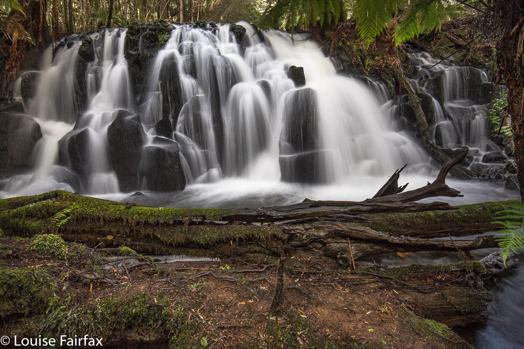
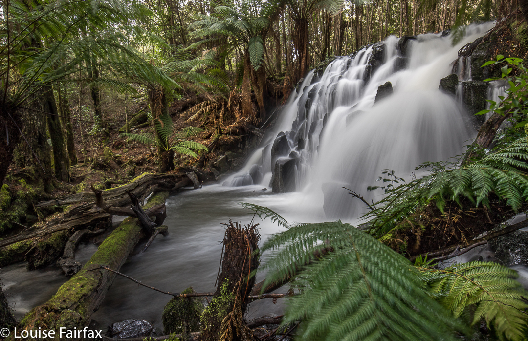
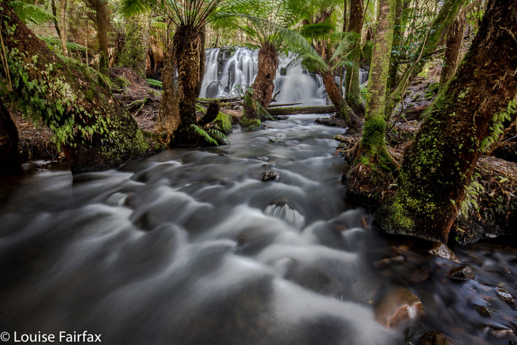
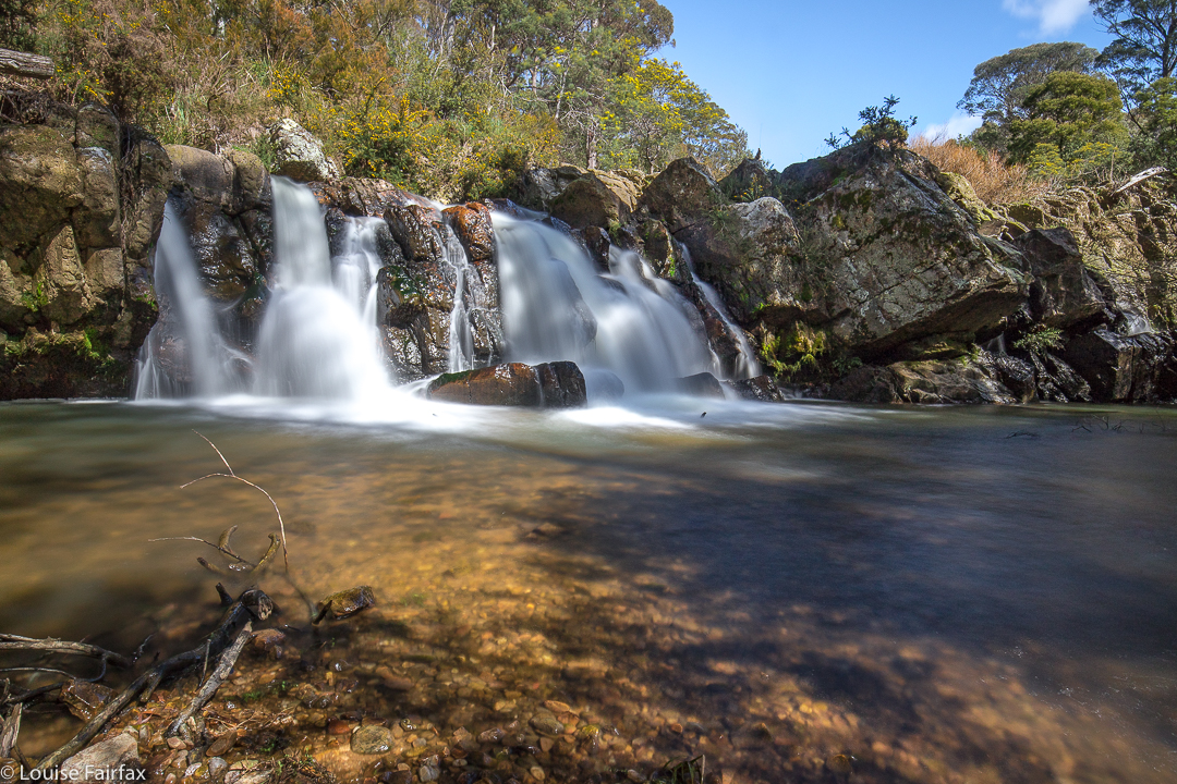
Many people count this delicate waterfall as one of their favourite falls anywhere – – or they did before some selfish vandal came in and hacked down some ferns to get a better instagram shot. Now the name caries with it a certain odour of corruption and distaste, which is a pity, as they are beautiful. It is nonetheless fitting that they kind of lie low for a while, so we can forget the damaging effect of social media on our environment.


Note, these are the Upper Cam Falls, sometimes incorrectly called the Cam Falls in the web.


To reach this gem, we headed south from Burnie along the B18, driving past Ridgley of Guide Falls fame, and continuing on to Hampshire. Here we turned west onto the C103, and continued until the western road swung to the north. At this point, Lockwood Rd is to the left, and this is the road you follow until a yellow boom gate stops you. The falls are then down to your right in a ferny glade. You can hear them from your car.
For a discussion of the route to the Cam Falls (and photos), please see the blog www.natureloverswalks.com/cam-falls

Montana Falls 2017 Sept

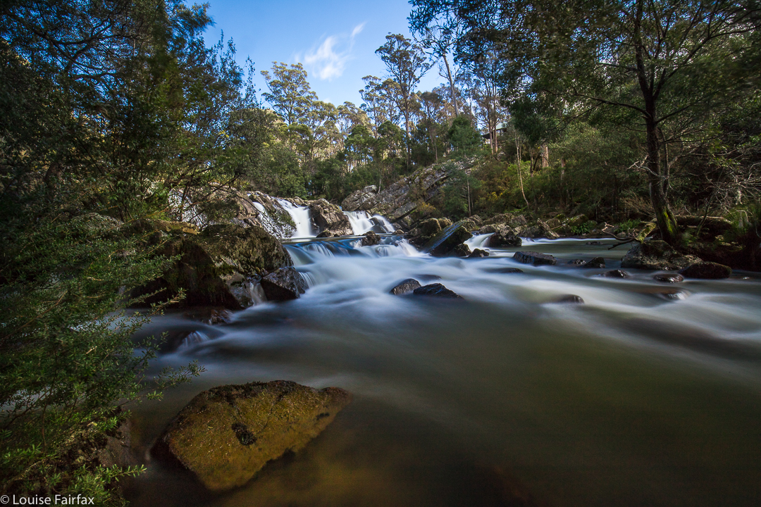
Montana Falls 10 Sept 2017


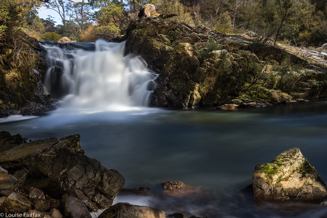
Montana Falls Upper
I recently published a blog labelled “Montana Falls”, only to be informed by people far more knowledgeable in the matter of waterfalls than I am, that I had been to, and captured, the cascades.
(See http://www.natureloverswalks.com/montana-cascades)
My friends told me how to reach the real falls, and so I returned to the area last weekend to see what I had originally wanted to see. These falls can’t be reached by the Salmon Farm (41degrees south). The cascades can, and are well worth a visit, but they are not the falls.


Montana Falls Upper
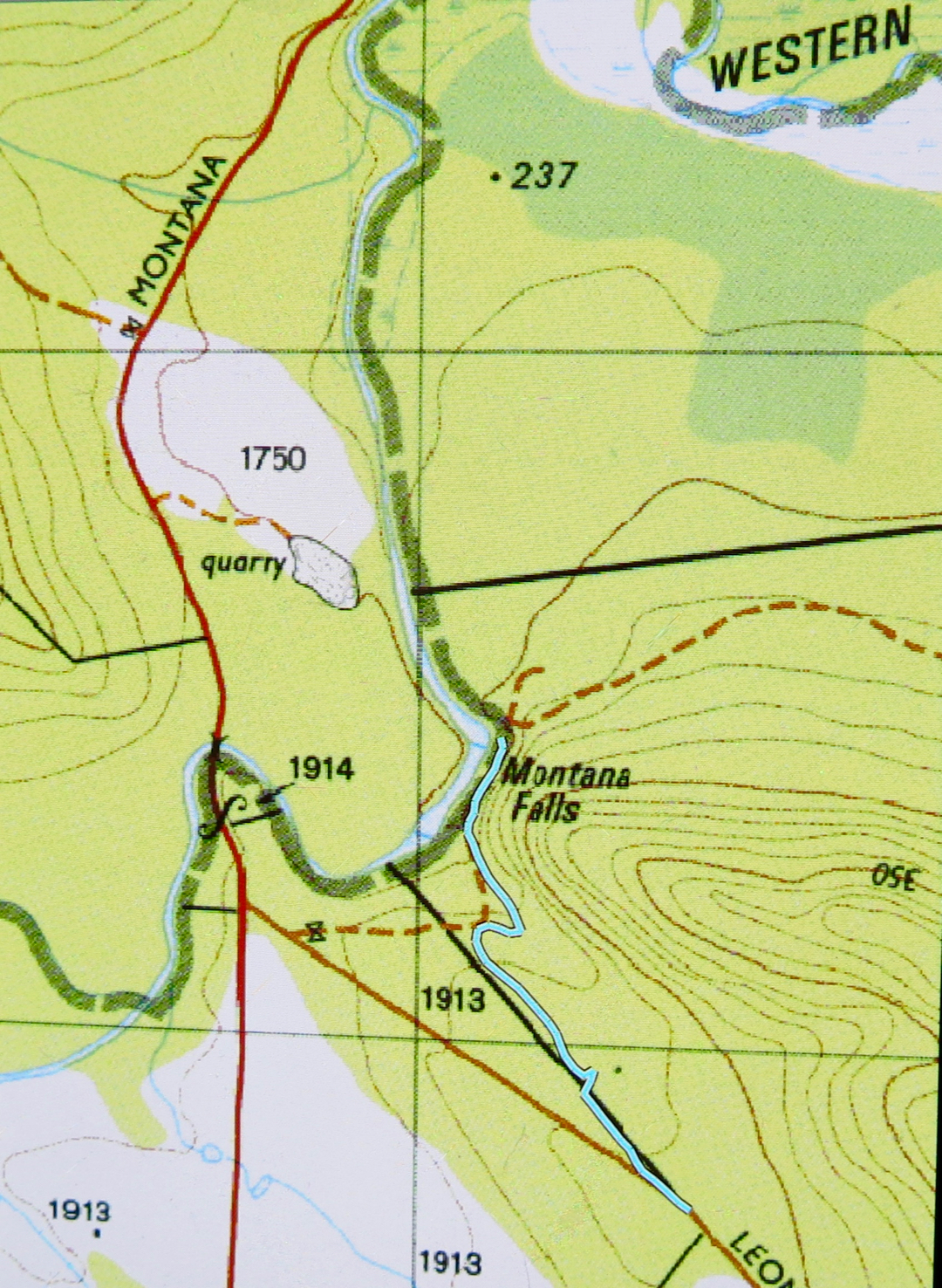
To reach the falls, continue driving past the turn off into 41 degrees south,  (having turned left down Montana Rd (C164) in between Deloraine and Chudleigh) until you cross Western Creek. The Needles ridge will come down to meet you from the right at this point. The falls are on Western Creek, and not far from this point, but you can’t just park and follow the creek down, as this is private property. Continue driving, turning left down Leonard’s Rd for about a kilometre until you reach a blue sign that says you have reached Long Ridge Regional Reserve. I just pulled over to the side at this point. It occurs where the road curves about ten degrees from 180.


Montana Falls Upper
There is a black line on the map, marking a property division between private and public land. I was expecting a fence, but found instead a path-cum-road which did not go in a straight line, but which had pink tapes that lead me to my goal. On the way back, I walked the straight line, which brought me out a bit short of the car. Just follow the pink tapes. It is better to do the further (lower) falls first, as then the upper ones are easier to see on the way back.


Montana Falls Lower
The bush was quiet and peaceful; the banks of the river, green and inviting. It felt very restorative to be doing this walk, even if it was only twenty minutes in each direction. It is winter; it was snowing in the highlands above me, and yet I found the waters strangely tempting.


My return route (I visited the upper falls on the way in. You can see them there on the map).

Westmorland Falls 2017, 2018

Westmorland Falls 7 May 2017.
It has been several years since I last visited Westmorland Falls, and I have wanted to return to take better photos. But then we had the big flood and the track was closed. At last this weekend I had my chance to return.

We drove along happily, delighting in the autumn scenery of rural landscape dotted with red and orange and yellow trees, and of the fresh snow on the Western Tiers. It had been nice and warm at home with our fire in the kitchen, so, in the comfort of the car, we did not translate that delectable white into the inevitable chill in the air that wind passing over it can bring. Brrr. We very quickly did our maths when alighting from the car.
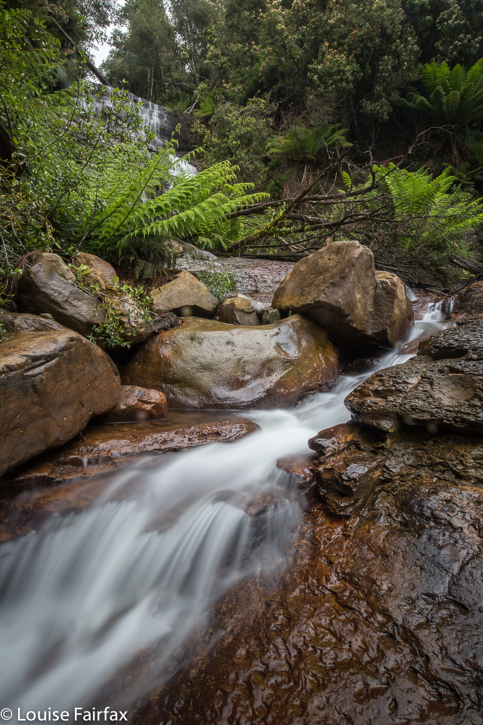

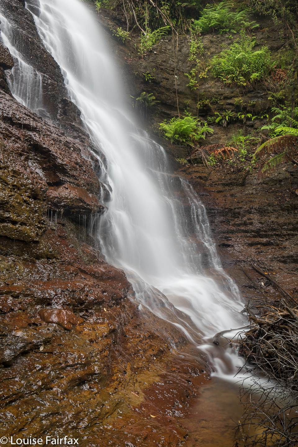
Westmorland Falls; picture from Dec 2018 when the flow was better
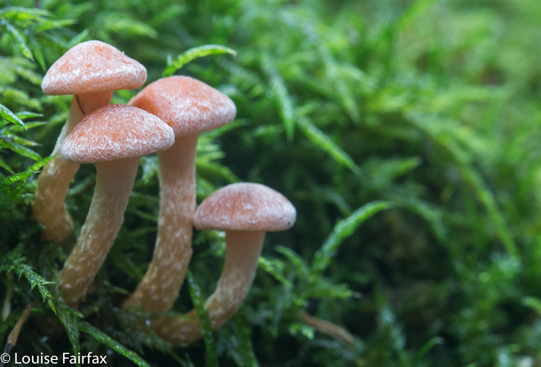
Luckily, my happy memories of Westmorland extend to glowing images of all the fungi we found on the previous visit. These did not disappoint. The falls, however, were another matter. The devastation of that area is still all too visible, and the falls themselves seemed shockingly barren, stripped of the framing ferns. Fallen trees were all too abundant at the base. But at least they have been opened back up and heaps of repair of repair has been done – even if they have left, seemingly forever, two gigantic, unsightly and utterly unphotogenic bags at the base of the whopping viewing platform that has been built.
Repair was a smart move. We met about ten other people who were there to see the falls, including Japanese tourists. I hope all of them supported the local shops by buying food in Mole Creek or Chudleigh. If you want money from tourists, you have to give them something to do to keep them in your area – and something to spend their money on. By repairing flood damage so that tourists (and Taswegians) can reach attractions like waterfalls, you are hopefully supporting the local businesses.
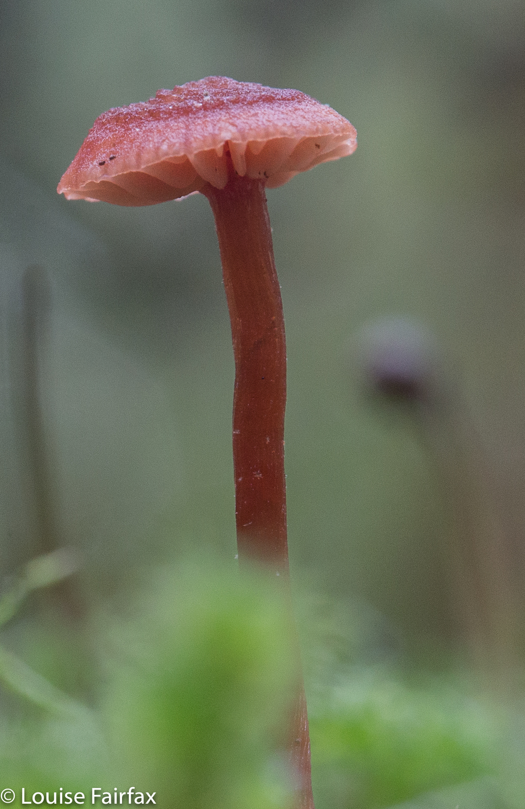

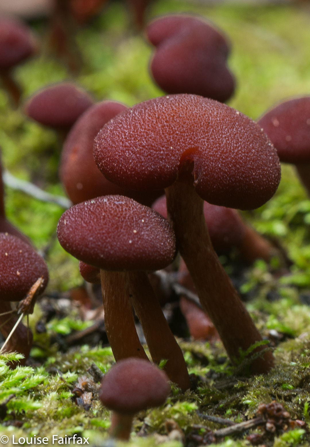
The sign said two hours return. How do they know how long you want to spend photographing, or whether you want to have lunch there or not? I hope it is more helpful to tell you that I took 26 minutes in each direction, and maybe an hour photographing on top of that. As it was pelting with rain, I ate in the car after I’d finished. In 2017, I took nearly three hours, spending all the extra time lying in mud trying to fit under delicate mycena. Luckily the leeches weren’t out, or I would have been covered in them. (2018, Dec, they made up for it. I flicked off leeches the whole trip home. It made driving a challenge).
In 2018, I chose these falls on a day when it was due to rain all day. They were perfect for that, involving not too long a walk, and on a track that doesn’t have too many overhanging shrubs to drench you as you go past.

To reach the falls, head south from Mole Creek along Caveside Road for 5.9 kms. Turn right at a road signed Wet Cave Road, which the lady on google maps will tell you incorrectly is West Caveside Road. At the T-intersection of this point, there is your first sign to the falls you are wanting (spelled incorrectly). From here on, every turn has a sign. The sign that says you’ve arrived is spelled as per the map. (2018, I came straight in from Chudleigh instead of going via Mole Creek. Bad idea. The signs to Caveside dump you, abandoning you in the middle of beautiful countryside. It’s much clearer if you come via the Mole.)

As hinted above, there seems to be a great deal of confusion about the spelling of these waterfalls. I am using the spelling that is on both the 1:100,000 and the 1:25,000 maps. They get the call. Surely they are careful enough to spell the beastie properly. Not so the Meander council, which has some road signs directing you with the spelling having and e (as in Westmoreland Falls) and some without, as I have used consistently here, in line with the maps. I note that Waterfalls of Tasmania uses the other spelling. Google is rightly confused, and lumps all references in together – very wise. Official government map departments use the correct Westmorland spelling, but I note that the Touring Tasmania site uses the incorrect spelling. Mole Creek information uses it correctly. Whatever spelling you use, Google maps will tell you it doesn’t exist, and will try to direct you to some place in America, no doubt selling stuff that will last a short time. The falls are not what they used to be, but they are still worth seeing, and the fungi on the way are terrific.
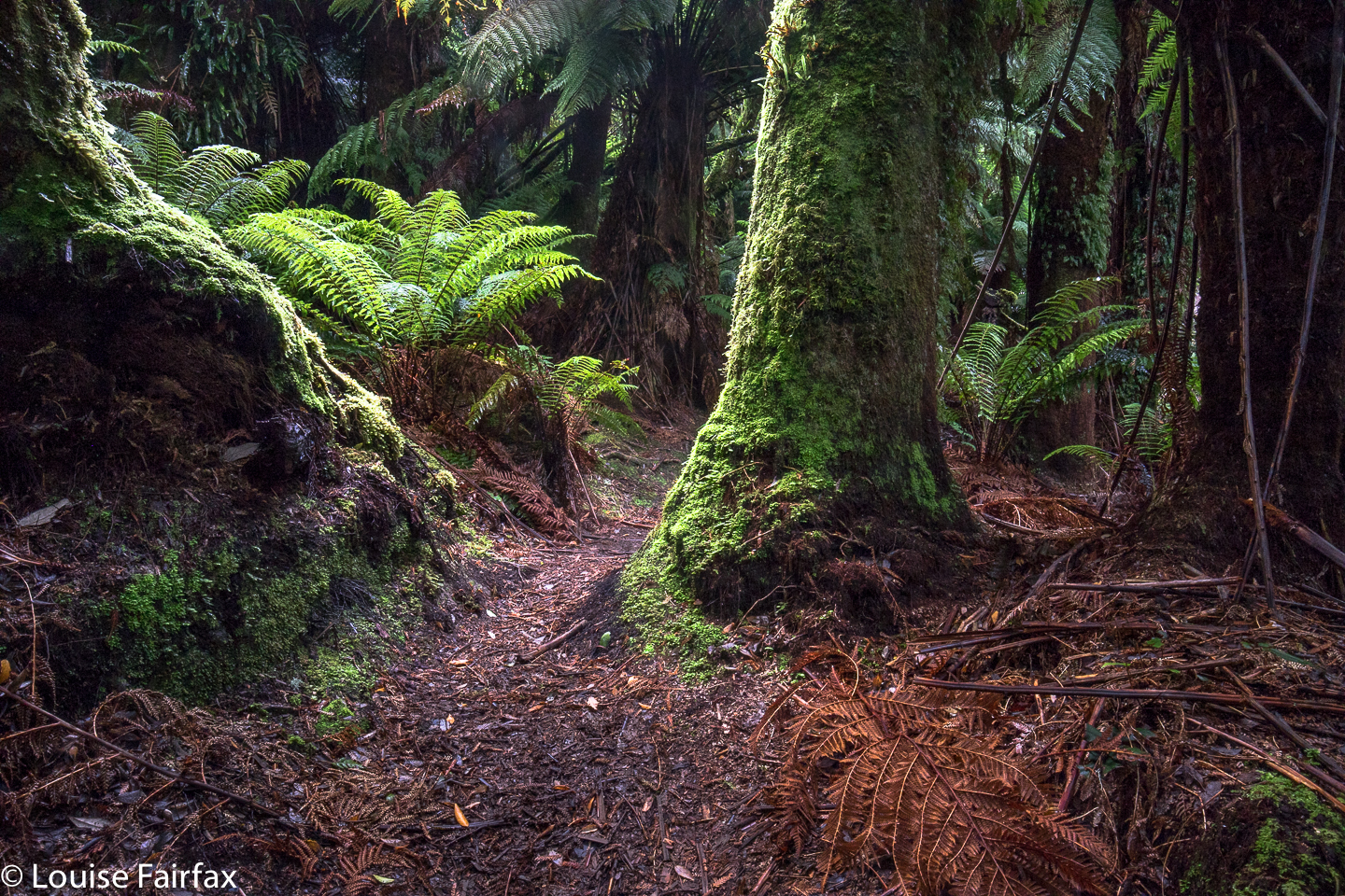

Westmorland Falls Fairy Forest.
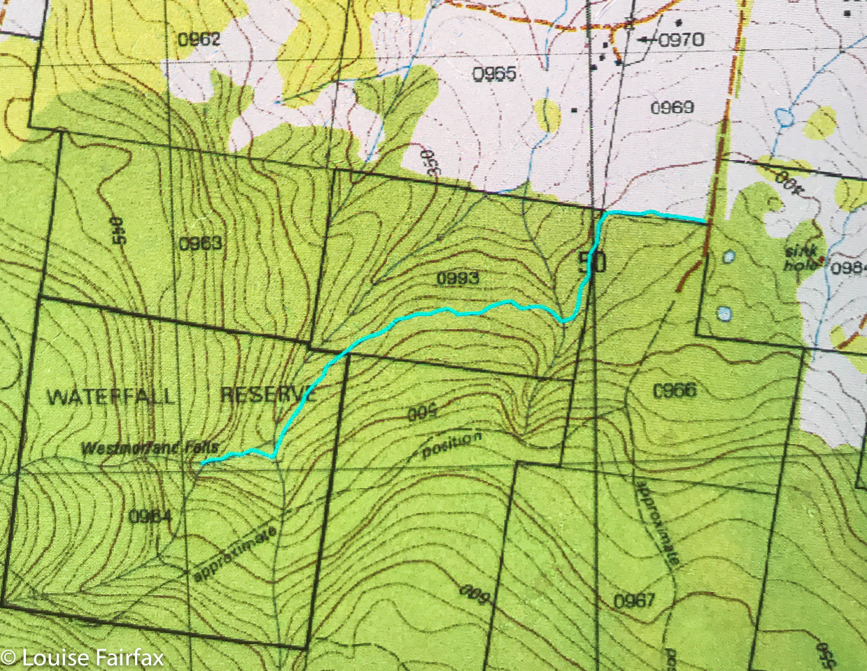
Route data: 1.75 kms in each direction, with over a hundred metres climb (and some climb on the return journey as well):

Lost Falls 2017

Lost Falls 16 Aug 2017.
The Lost Falls have lost their water and probably lost all hope that I will return to them, for, if a waterfall can’t produce water when the state is drowning and all the other waterfalls are pumping away furiously, what hope does it have?


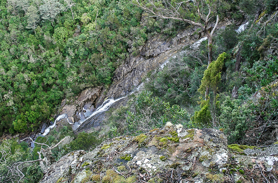
This is not my photo, although it is my edit. Cadence Kueper, and excellent photographer, had far more luck than I did when he visited. This is his shot and his copyright. I wanted to show you what you were looking for if you got a good day.
As we approached, the sun was shining to ruin my chance of a nice long exposure of the flow, and yet it was raining so as to destroy my beautiful lens, and spoil the photo with droplet smudges. Yes, yes; it was pretty silly to come out in this weather without an umbrella for my camera, but I have a lot to organise, like a dog and a husband. This was not going well. It was freezing at this location, with a strong wind blasting us as we made our hopeful way to the viewing point. Luckily, it was only five minutes from the car. The gorge is very impressive, but the lack of water was not. I didn’t bother to photograph such emptiness. I hadn’t brought my arctic gear, so we retreated quickly, and hoped the Meetus Falls would be better. They did not disappoint.


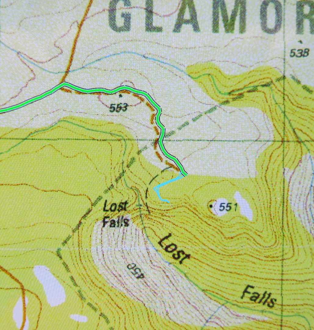
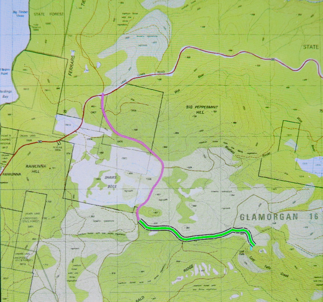
To see this Lost Gorge (I refuse to talk of Falls), drive to Campbell Town, turn east to Lake Leake Road and continue to drive past Lake Leake, and past Kalangadoo (the petrol station cum general store on the right after Lake Leake as you head east) until you reach a rather major intersection with two traffic islands to attract your attention. They’re possibly there to suggest you don’t turn at 100 kph, and that you watch for incoming trucks. For Lost Falls, turn right (South) and drive “4 kms” as the sign directs you (Lost Falls Reserve, it calls your destination). You will, after 3.3 kms, turn left and go 2.6 kms along this road until you reach the parking area which also has a shelter should you want to eat there. Just before you reach your destination, there is an unsigned fork in the road. The right hand fork will get you there (see map below). You’ve nearly arrived.


On the enclosed map, the magenta section of 3.3 kms is the first part after you’ve turned right;  the green part of 2.6 kms is the next bit after you’ve been turned left by a sign (you’ll see the fork I’m talking about near the end there); the tiny cyan bit is the section where you get to stretch your legs and see the view.
If you then want to find a waterfall that has water, go back north to the big intersection, and continue north on the same dirt road for another 11 kms until directed to Meetus Falls ( http://www.natureloverswalks.com/meetus-falls/).

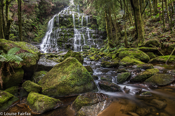
Nelson Falls 2017

Nelson Falls, 2017 June


Showing Bruce these falls was part of a lovely multi-day waterfall binge the two of us had in June 2017, in which I showed my ever-weakening husband some of the areas that I had been to without him, and in which he got to eat at some of the places I made constant reference to. He retained his love of food until the end, and took particular delight in the Derwent Bridge Hotel.