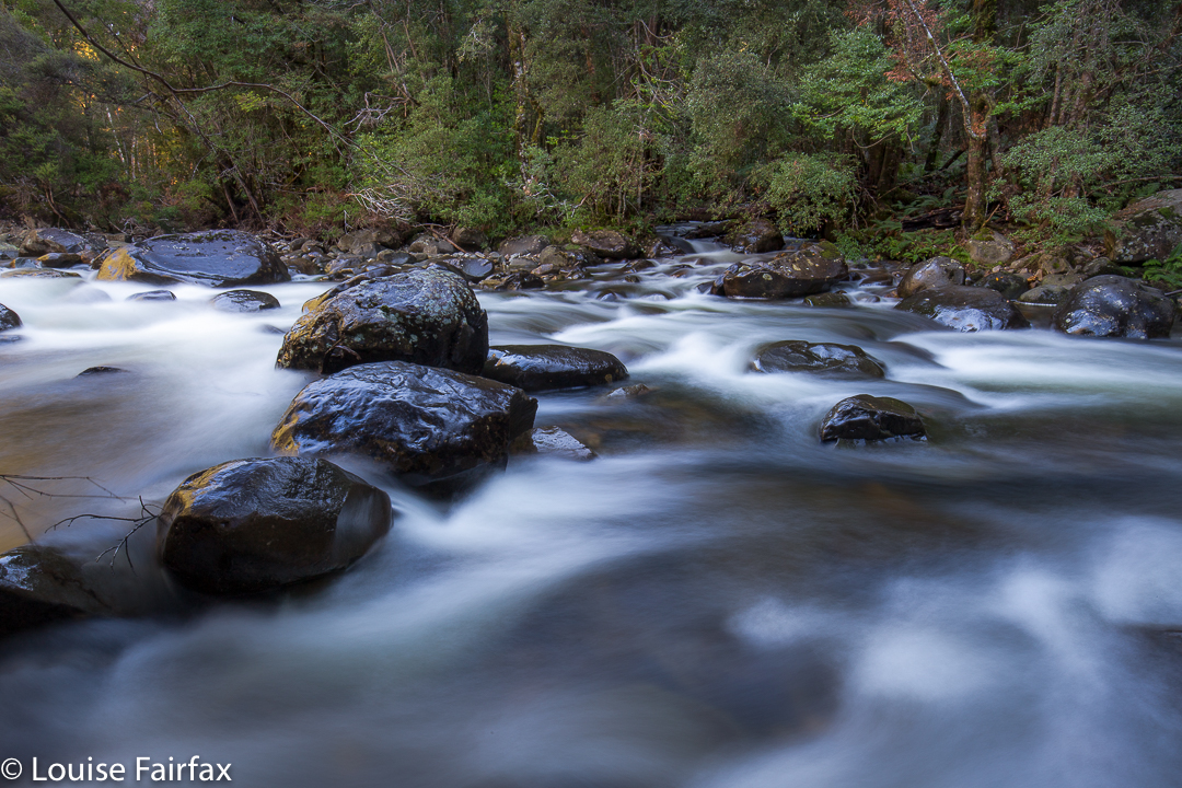
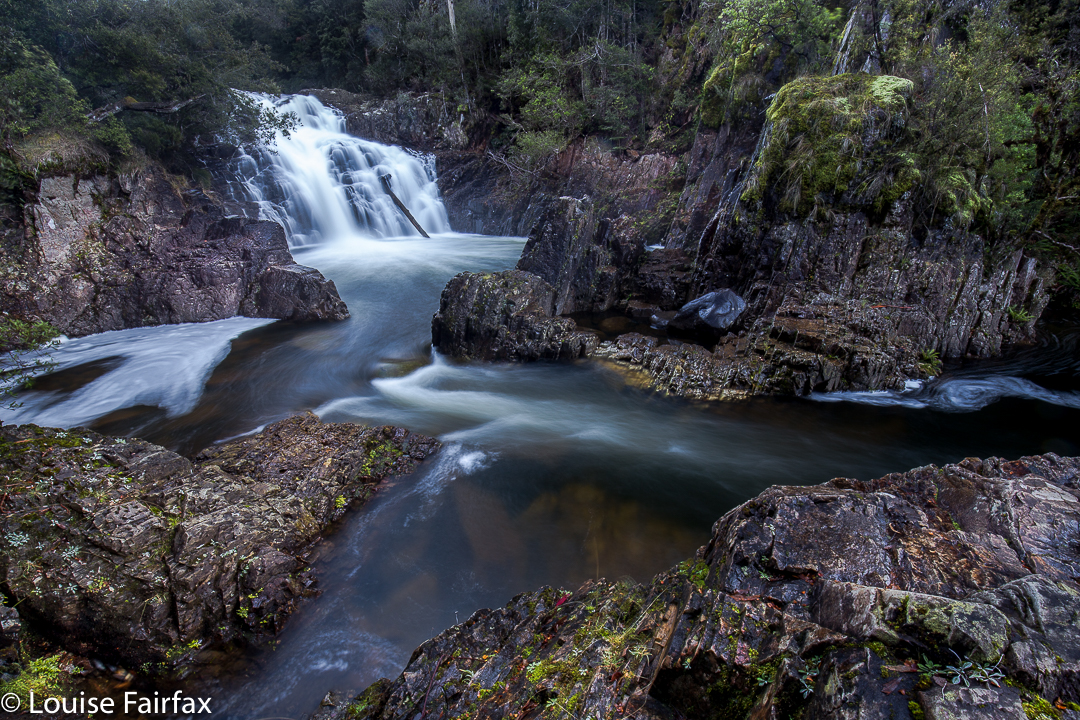
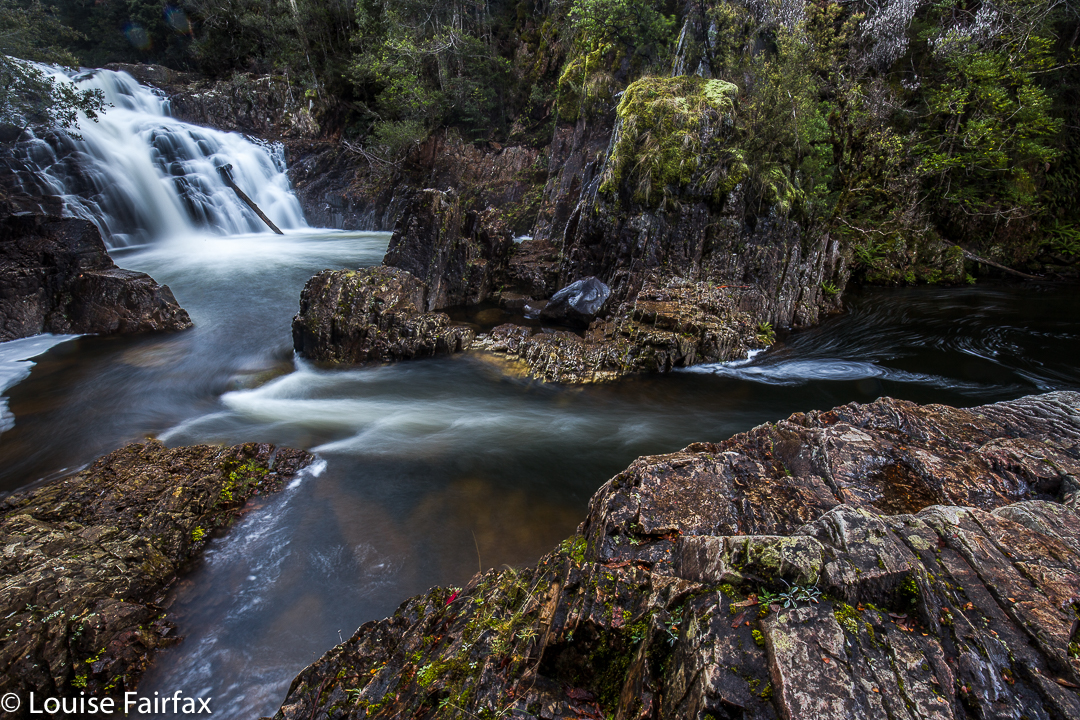
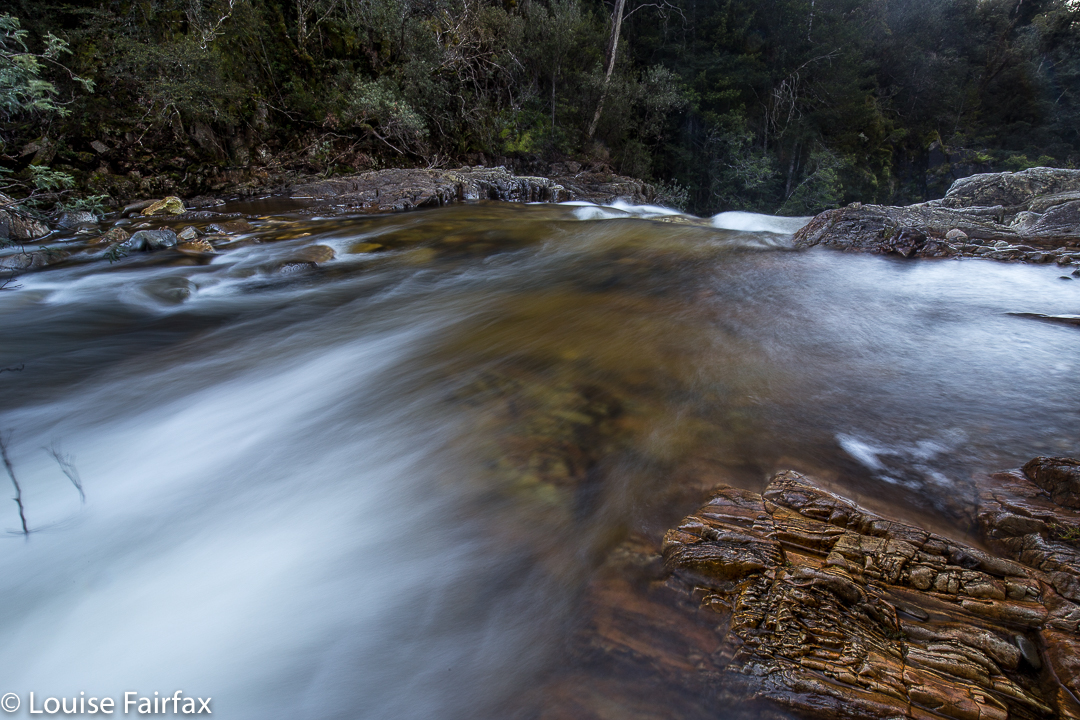
First visit: Blairgowrie Falls 2017 July.
I looked out the window to see a beautiful day: crisp winter air, blue sky of a steely quality, sunshine, and not a cloud to be seen. “What a perfect day to find a new waterfall”, I said to myself. Now, if you know anything about waterfalls and photography, you will right now be questioning my photographic nouse as well as my general intelligence, because, given the hour it now was, we would be arriving at the expected falls (IF we arrived) in the middle of the day, when the light is glary and utterly unsuitable for good photography.
What you don’t know in this unkind judgement is that my camera (the proper, full-frame one) is in hospital at present, so I don’t really care about photographic conditions. I’m stuck with using a compact today (although it does have manual controls and shoots in RAW. It’s still not the ‘real’ thing). In addition, given the weekend we’ve just had, I don’t feel like being rained on any more. I dutifully ran in the rain on both Saturday and Sunday. Today, I feel like walking in delicious sunshine. And anyway, this was only a recce. I told my husband and dog, both of whom opted to accompany me, that there was absolutely no guarantee of an arrival at these falls, and no promise of a long walk. As it turned out, we had a lovely hour and a half walk in pleasant forest, and got to both top and base of our beastie.
I really had very little to go on: I knew the location, and the name of the creek (Biddle Ck – not that that helped anything). I had never seen an image of my destination (the web is silent on this topic), and my directions were self-written, based on my reading of the map that came on my computer screen, which, unfortunately, bore only scanty resemblance to the outdated one I use in my gps device, or my paper map, similarly suffering from senility.
First tack was to try to reach it from below. I saw (off Old Bangor Tram Rd) a small private road leading to a house with a dam beside it (so the map said). Follow the creek up from there, and you have your prize. Fine. I’ll go and ask for permission at the house. As I thought all three of us might be overwhelming, I sent the other two off on a short private mission and went to the house alone. The nearer I got the more obvious it became that if someone lived here, they were … well … ‘different’. Some windows were broken, bits were falling away. It was really quite unkempt. I was rather relieved when there was manifestly no one there – not now, not in any foreseeable future. But meanwhile, I’d been rather turned off this as a means of reaching my goal. I stared at the map again and decided to try an attack from above. If that failed, at least we’d tried.
 Now, attacking from above is all well and good, but with decidedly out-of-date maps, there was not a great deal of ground to map correlation. We set off up Murphys Road, with Bruce making rude comments about the Law of the same name, and used it as long as it went where I wanted it to go. At a fork (unposted) I turned left as that suited me, and followed this unnamed road to where there was a locked gate. We parked a bit further back down, and set out on foot, still with absolutely no certainty that we would reach the falls or how long failure or success would take. I guessed at 45 minutes in each direction, and we did it in 40 each way, so I wasn’t far out. The forest was very nice. We’d have a good walk, whatever else. Tessa said this road was excellent thanks. There were no signs saying Private, or Keep Out or Thou shalt not. It was all rather wonderful. And, with a boom gate that seemed permanently shut, there was also no possibility of traffic. We could amble freely. We did.
 The blue line on the map below is the route we took. The only bushbashing we ended up doing was right near the end where the track on the ground was not worth searching for. On the way there (the more easterly route), we were on either clear or very indistinct tracks the whole way. There was one section where you needed pretty good tracking skills to spot where the path had once gone, but no bush bashing as such. And, stunningly, paths lead us the whole way to the falls. As these were not on my map, I was feeling pretty chuffed about happening on them.
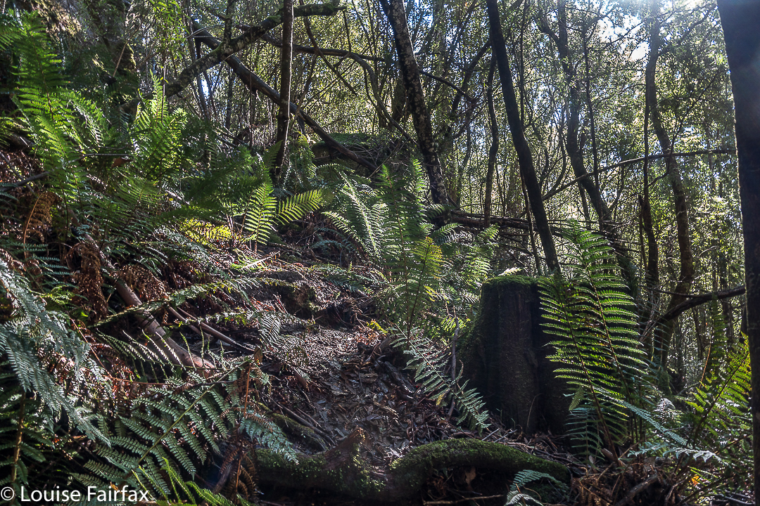 There is even al little path leading to the base of the falls. I was certainly not the first person to visit this place, even if I do appear to be the first to publish either a photo or instructions.
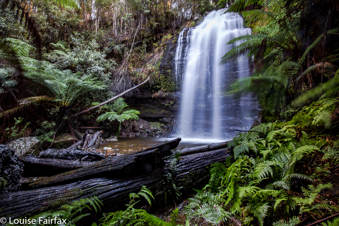
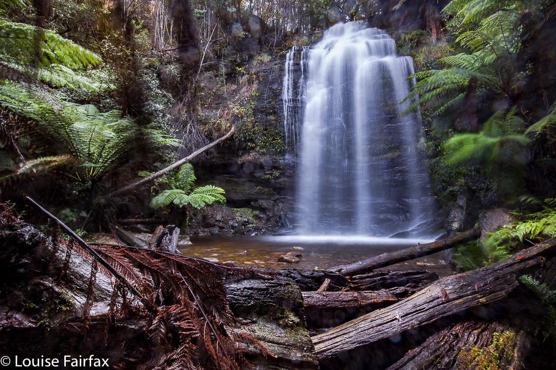
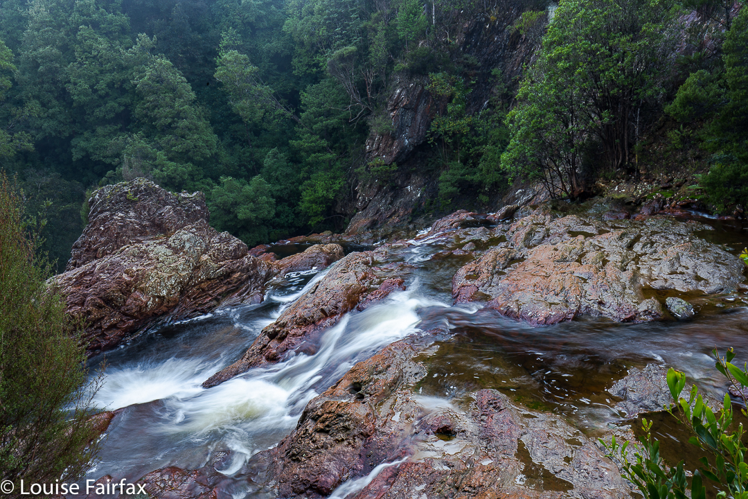
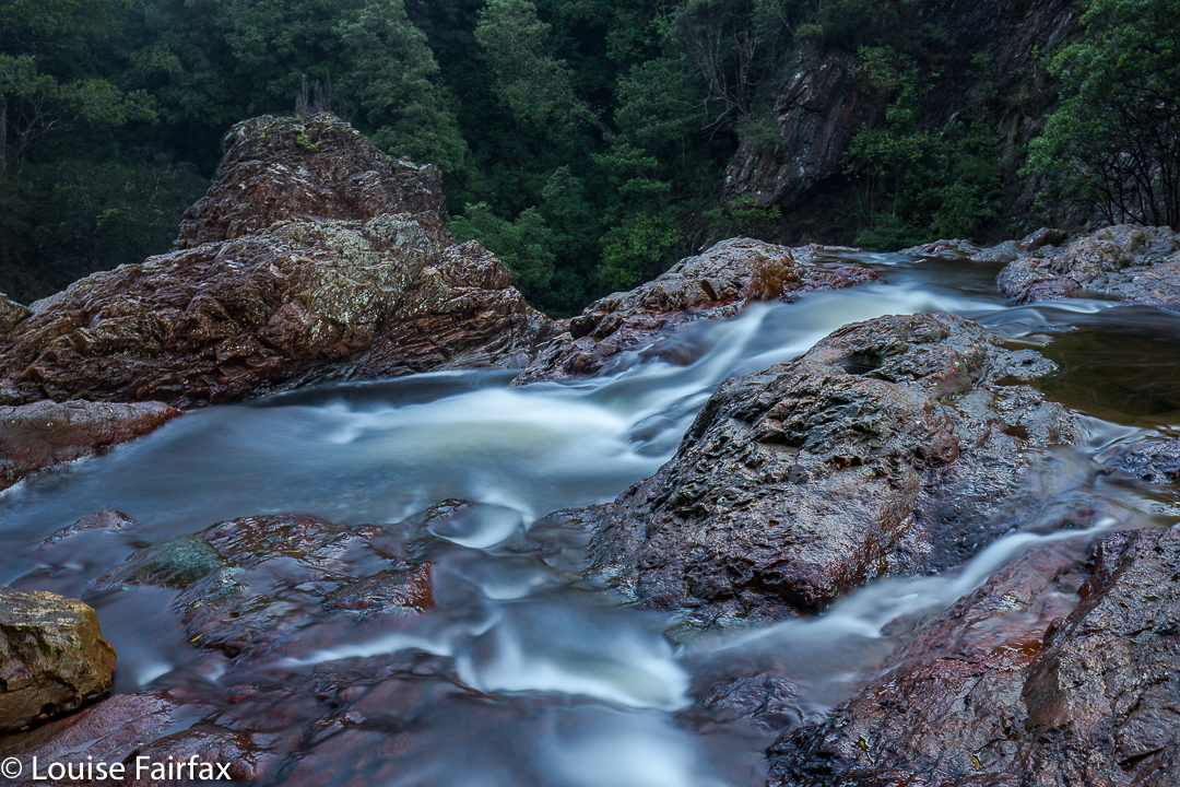
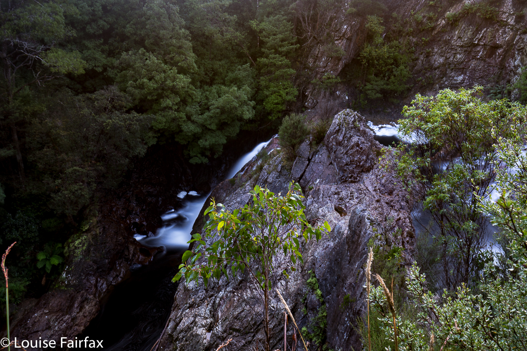
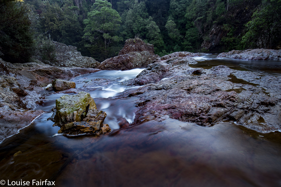
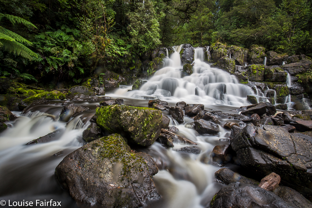
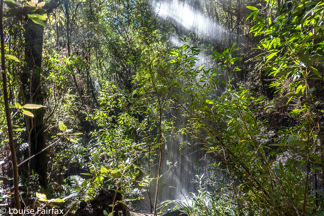
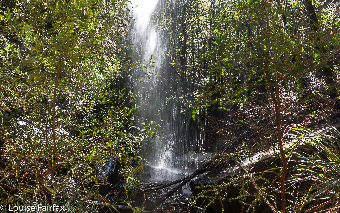
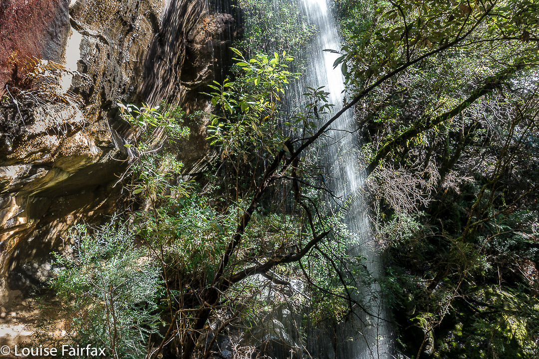
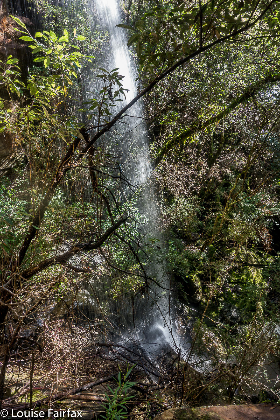
The top of the falls was not an impressive area, and I was at first disappointed, albeit happy to have found them. The base made up for any displeasure on top. They were fun falls, even if their flow wasn’t voluminous. You’re standing in forest with an endless flow of water emptying into the bush next to you. Considering how wet everything is at present, and how urgently most of the waterfalls in the state are pursuing their downhill course, I wouldn’t bother visiting these falls in anything but wet season.

 (Take Dalrymple Rd C809 right when Hillwood is off to your left from the East Tamar Highway heading north. Turn right onto the Old Bangor Tram Rd C812, just as you pass under a narrow (rail?) bridge. Then, after a short distance, Murphys Rd will be on your right. I wouldn’t go up there without a gps.)
See the 2020 version for my route. If you want the actual gpx route to download, you can email me. My address is in my instagram profile.