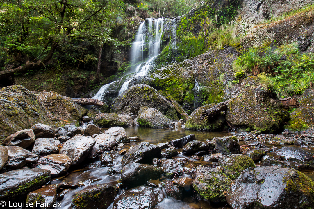
Bridal Veil Falls 2017 Feb

Bridal Veil Falls, Feb 2017


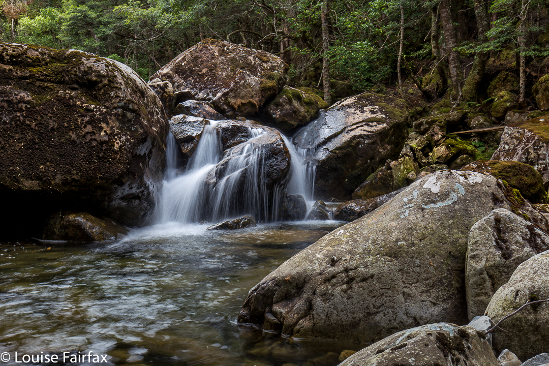
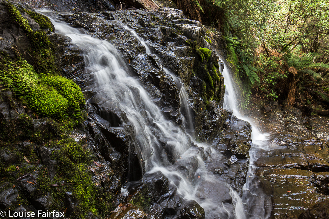
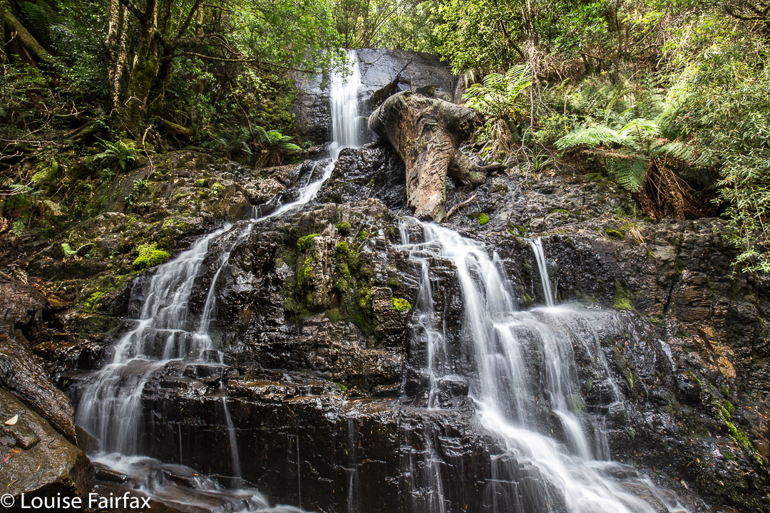
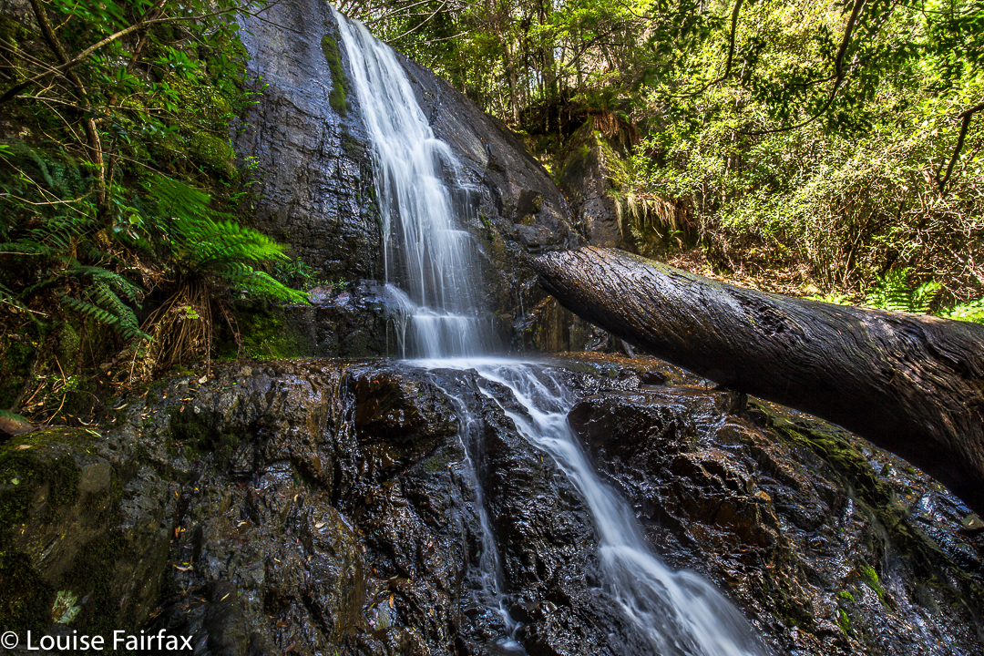
We had time and inclination to visit these fall for (alas) the first time in February this year. Whilst we may have had time and inclination, the weather did not. Anyone with any knowledge of Tasmania at all knows that February is definitely not a good month to go waterfall bagging. But, my husband had Parkinson’s disease, and a lot of places were no longer possible to him. He enjoyed waterfall bagging, with or without water, so off we set. I think he liked the Raspberry Farm reward at the end better than the bushwalking, but, what the heck. As you can see from the picture below, the flow was less than exciting, but the falls were still pretty, even with a thin veil. For the full day’s jaunt, see the blog link:
http://www.natureloverswalks.com/champagne-falls-…il-no-name-falls/ ‎
As is sensible, we took in Bridal Veil along with Champagne and No Name (which was also No Water) Falls.

Horseshoe Falls 2017 Feb


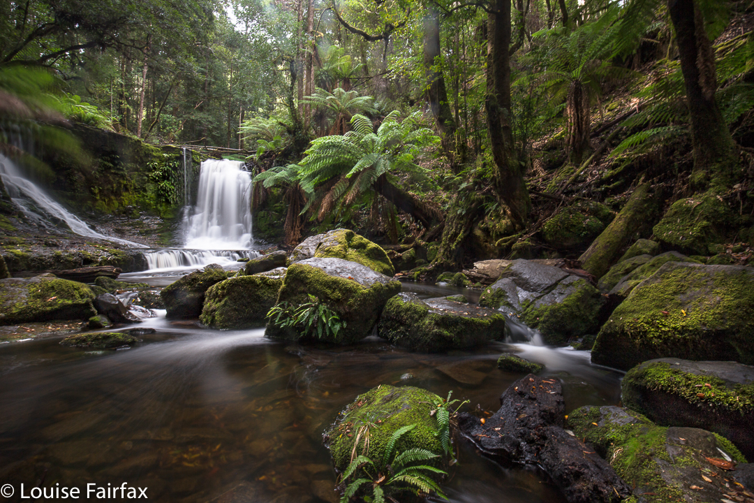
The location for this photo is perhaps a tad less than original, but there’s a very good reason visitors love to photograph the three main falls in the Mt Field National Park. Of course, one of those reasons is that people don’t have to go too far from their cars, and that there’s a big, smooth path with sign posts: not everyone relishes a good bushbash.  But the other, and the reason for carparks and smooth tracks and signs, is that the falls are just plain gorgeous. Here is my take on what captured my attention. I stayed here the night, as we were to leave for the Western Arthurs in the morning at a time that would have necessitated a 3.30 a.m. departure from my home in Launceston, had I left from there. Much nicer to camp in a National Park with the sound of the Tyenna River passing by and the feeling of deep nature all around me. A 7 a.m. meeting time also seemed highly preferable.
One of the reasons I particularly wanted to photograph these falls on this visit was that in tidying up my files, I realised I didn’t have one single shot of my own of these particular ones. I must have had a grand deleting session some other time, or just never labelled my other efforts. The omission is now rectified.

Barrow Falls 2017 Feb

Barrow Falls, Feb 2017.

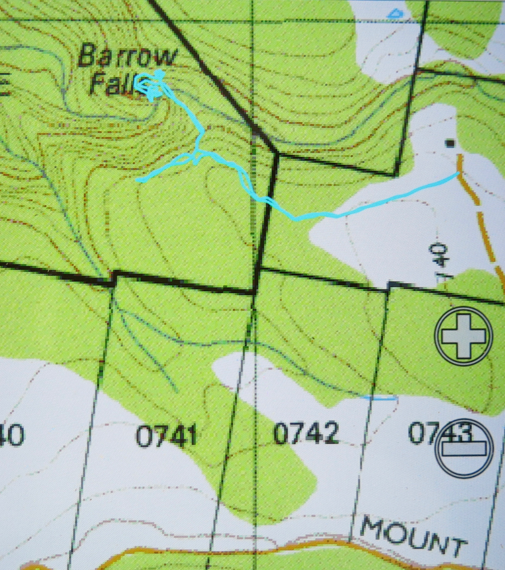
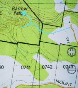
When researching available information to learn how to get to Barrow falls, and to see what I could expect, I noted that the material made them sound a little formidable. We thus wore our full bush battle gear for the journey, and were not actually confident of reaching our goal: “Don’t worry”, said my husband as we drove towards where I wanted to park and eyed up the rather thick bush to left and right, “we have six hours until dinner.”

I drove down the orange track on the map that I wanted to use for my approach, not quite knowing what would be at the far end. Hm. A house to the left, with furiously barking dogs, and one at the end of the track, kind of opposite, that did not look exactly used. I knocked just in case, anyway. By the time I was back near the car, I could see a lady striding towards her gate from the house above. We smiled at each other as I explained that I had come to ask permission to try to get to the waterfall from here.

“Yes, this is my property. Go and enjoy yourselves. Head down here until you see pink tape and follow the tape to the falls.” What? THAT easy?
“Oh”, I laughed. “We have maps and compasses and a gps system. I thought it would be challenging.”
“Oh well, it’s always handy to have such things,” she chuckled.
Next question: “We have a dog in the car. If we keep her on a lead, can she come too?”
“Don’t bother about the lead”, was the reply.
As a result, all three of us (two humans and a dog) had a fabulous time. Tessa was soon joined by the owner’s retriever, so even made a new friend. The dogs had a lovely swim in the creek when we arrived. The retriever seemed to know his way around very well, and took over leadership of the group pretty soon into the expedition.
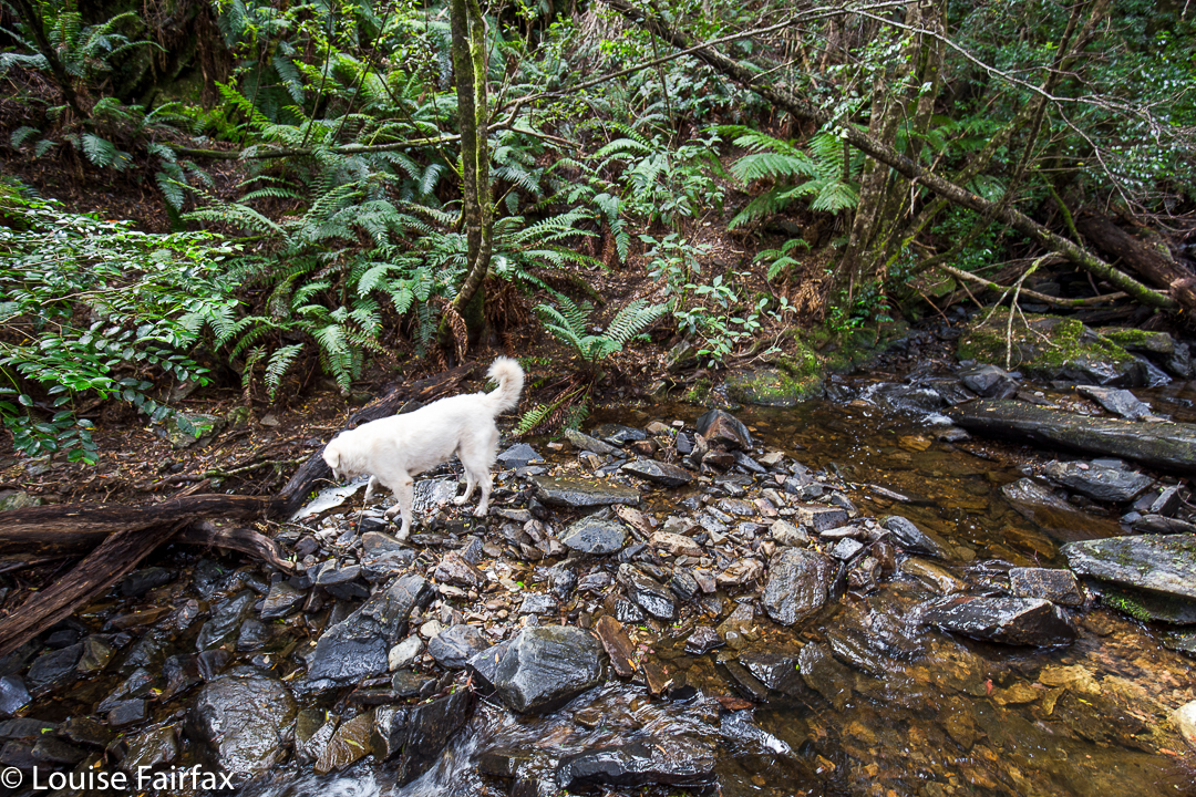

Hoorah. A dog friendly walk in Tasmania!!!
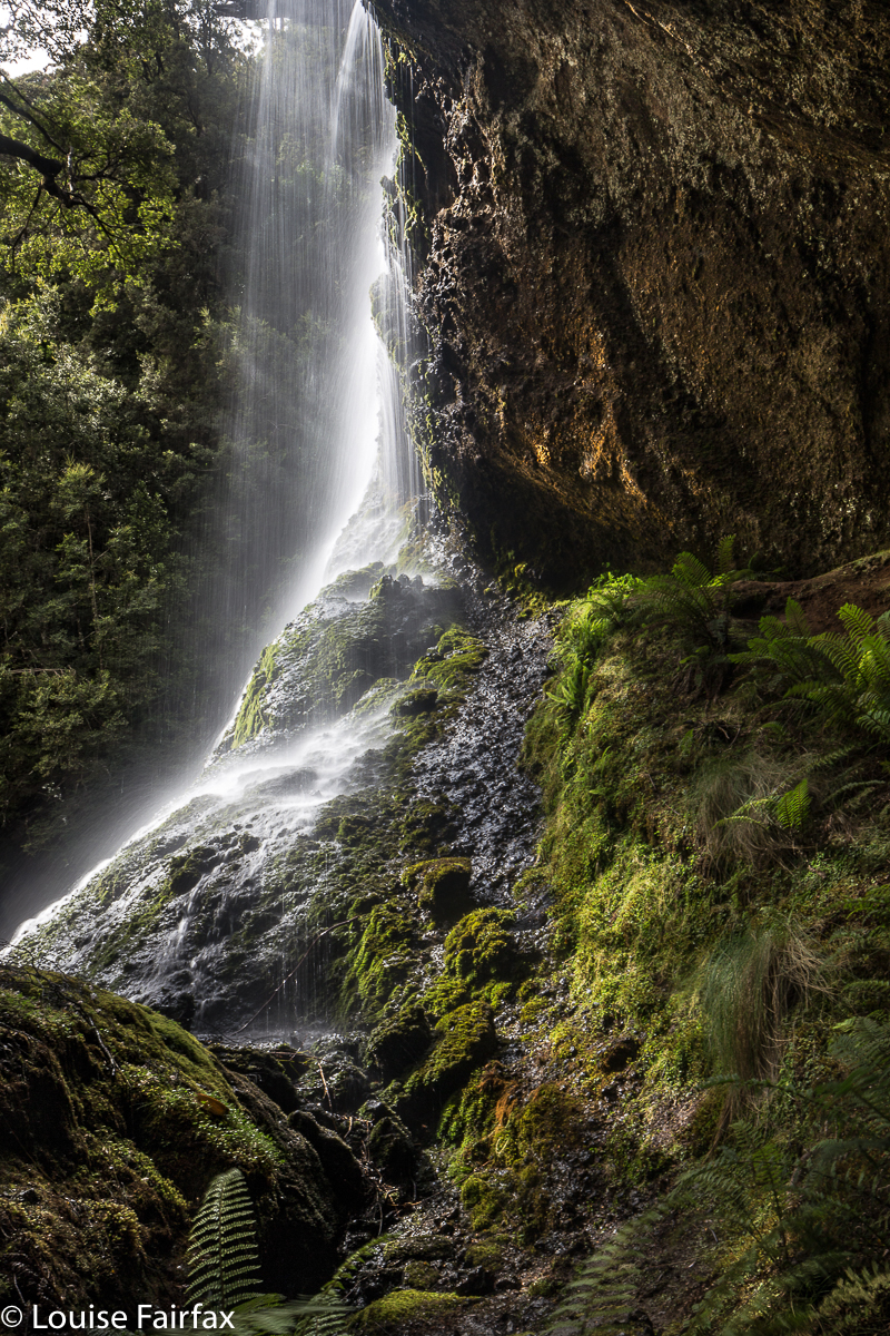
Our gps, map and compass did come into use on the way back! There was another lot of pink tape going to a different destination, and I followed it at first, without realising that it wasn’t the original tape of our entrance. Luckily I sensed that things were not as familiar as they should be, and checked our position with the gps – no, we were now well off the old track. I righted it with a compass, and soon enough we were back where we wanted to be. I am also very happy we both wore boots. It was VERY steep in the final descent to the river, and equally steep – and slippery as well – trying to get from the top of the falls to the base. Huge, loose rocks became easily dislodged, vegetation was slimy: boots felt nice and secure.

After all that exercise (16 minutes in each direction to the top of the falls – ha ha) we, of course, needed to refuel our tanks, so stocked up on delectable goodies on the way home to have a celebration afternoon tea. That was a great waterfall.

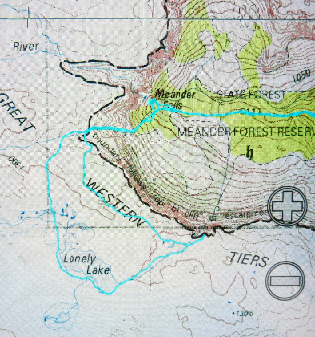
Lonely Lake, Meander Falls 2017 Feb


Meander River
I was only half paying attention at the club meeting (wickedly multitasking during the walk previews) when I heard Rolfe mention “lovely little waterfalls” and a Lake up on the plateau above Meander Falls. Now, Rolfe is a classy photographer, and we share similar tastes in what is beautiful, so I checked with him that the walk would be “Bruceable” (it was), and put our names on the list, curious about these extra falls and the lake on top.


First time I’ve seen these falls (Meander Falls) in summer.
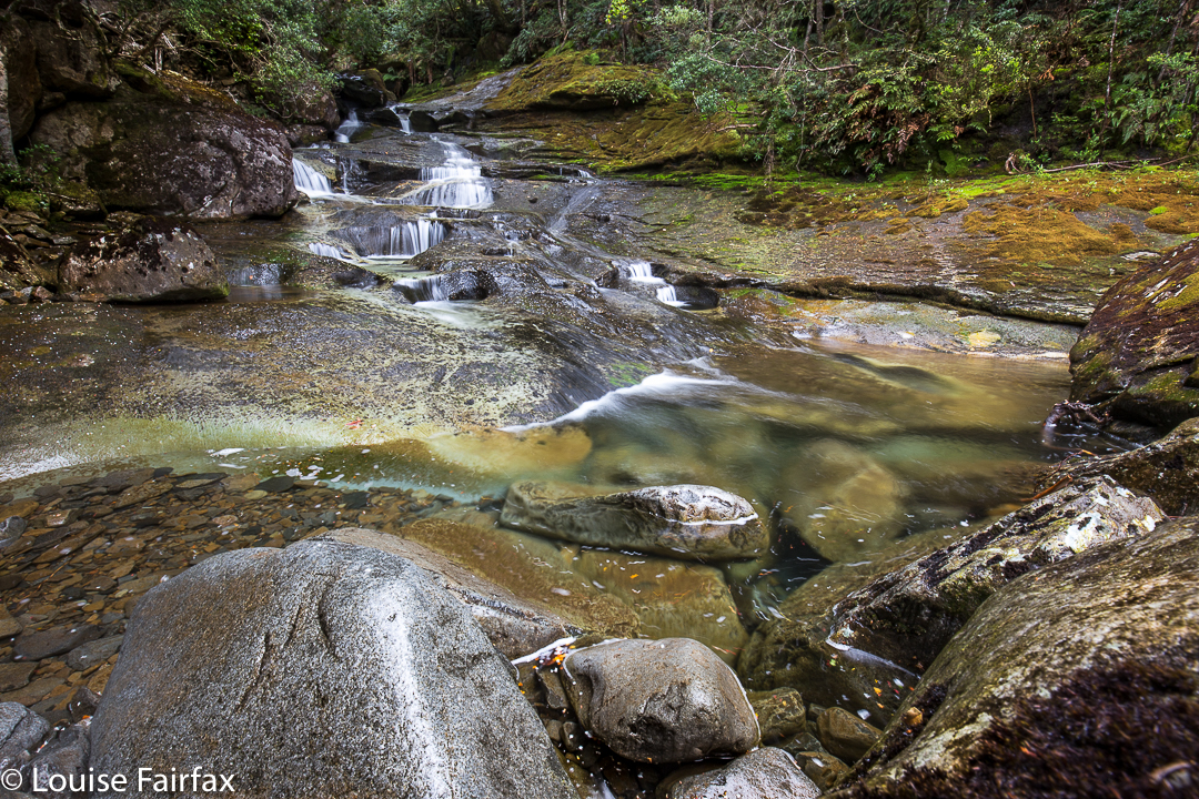
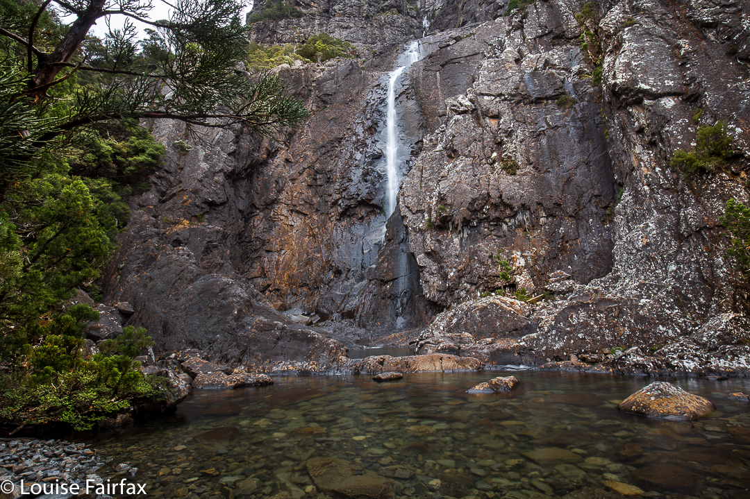
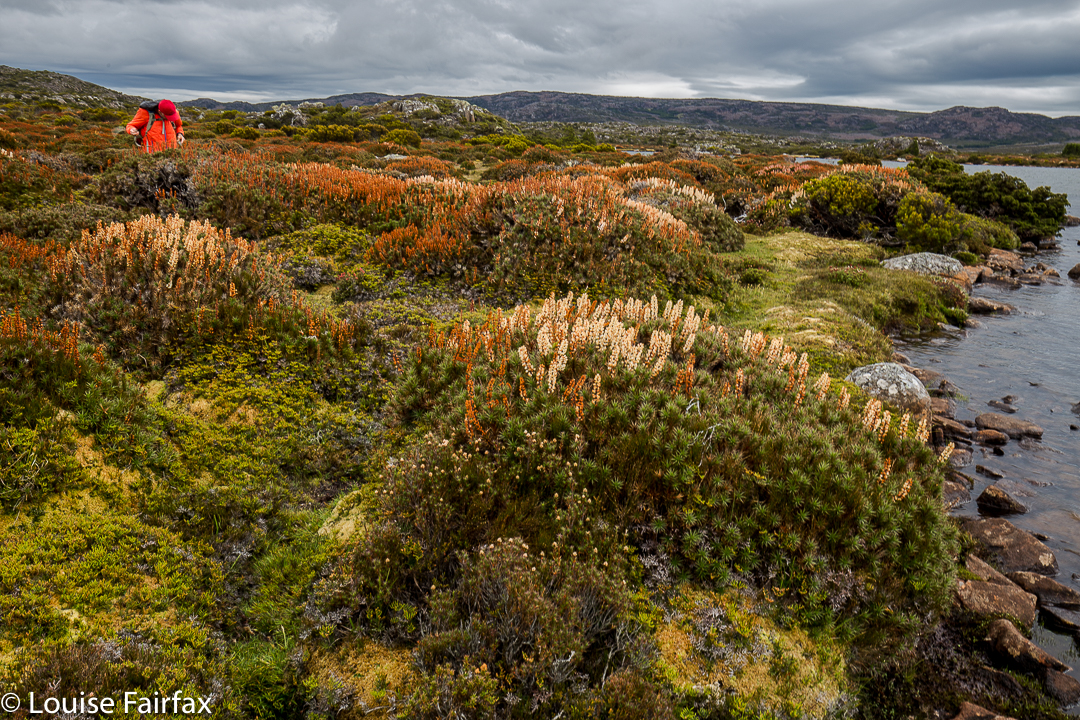
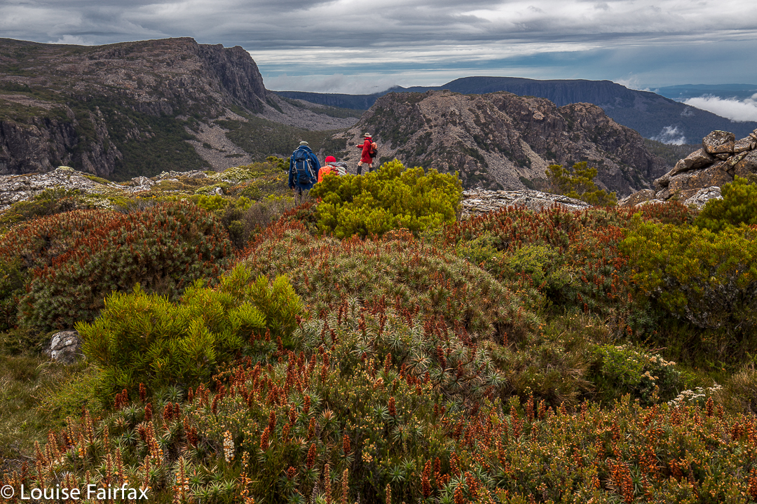
I have already been to the Meander Falls, but that was in winter, so it was good to see the forest and beautiful river in aestival guise. Last time I was there we thought of going further up onto the plateau, but it was snowing, and we hadn’t really left enough time. This time it was planned for, so we followed the cairned route (hard to find at first, but you pick up the cairns easily enough if on track – see route below) upwards, eventually climbing the scree slope that leads to the area up top that is covered in beautiful cushion plants and scoparia that had just finished flowering.


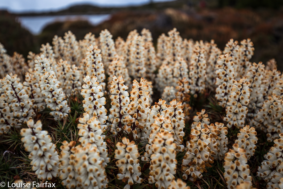
The edge of Lonely Lake just visible. Scoparia in late bloom everywhere
The escarpment was well worth visiting before descending. I loved this loop and want to go back in flourishing scoparia season next year to camp there.


See also http://www.natureloverswalks.com/meander-falls/ for pictures of the winter scene.

Champagne Falls, Bridal Veil Falls and No Name Falls 2017 Feb

Champagne Falls. First on the circuit.
It seemed to me a travesty worth rectifying, that I have lived here in Launceston for as long as I have, yet have never visited the Champagne, Bridal Veil or No Name Falls, all of which are accessed from the rustic Lemonthyme Lodge. What makes the matter worse, is that I have stayed at Lemonthyme quite often (they used to sponsor the Triple Tops Race, offering a holiday there as the female prize), and yet we stayed there and did things in the Cradle area, using it as a base rather than exploring its immediate environs. In those days, I was a total mountain freak, and hadn’t quite discovered the joys of a beautiful waterfall. I always wanted to be up things.


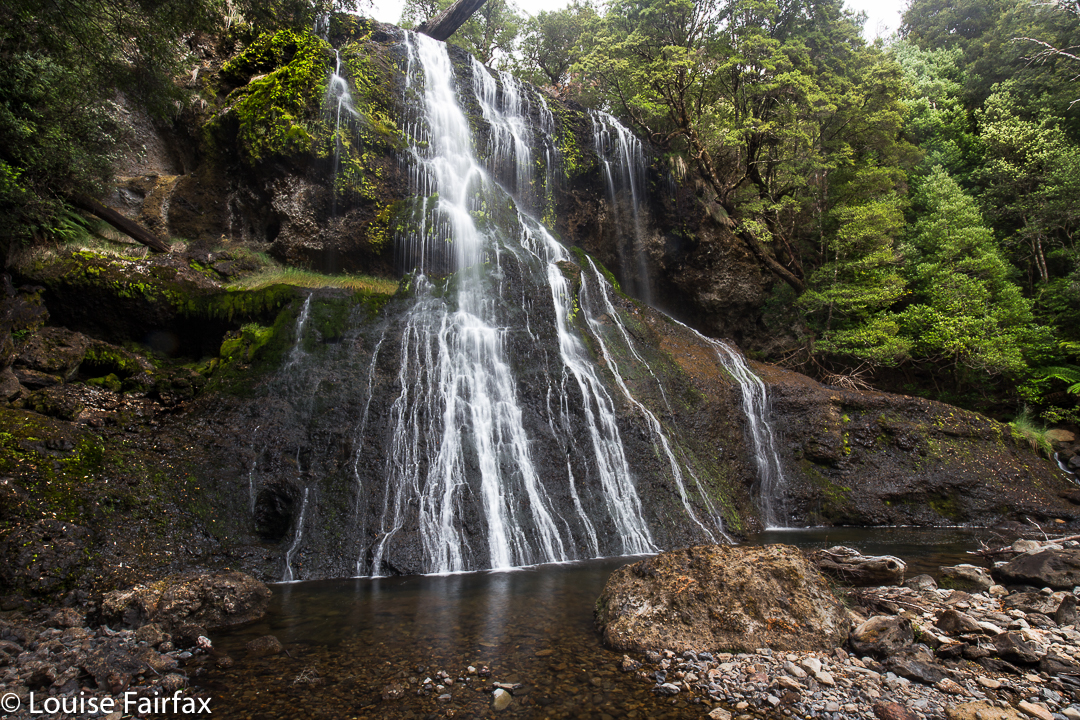
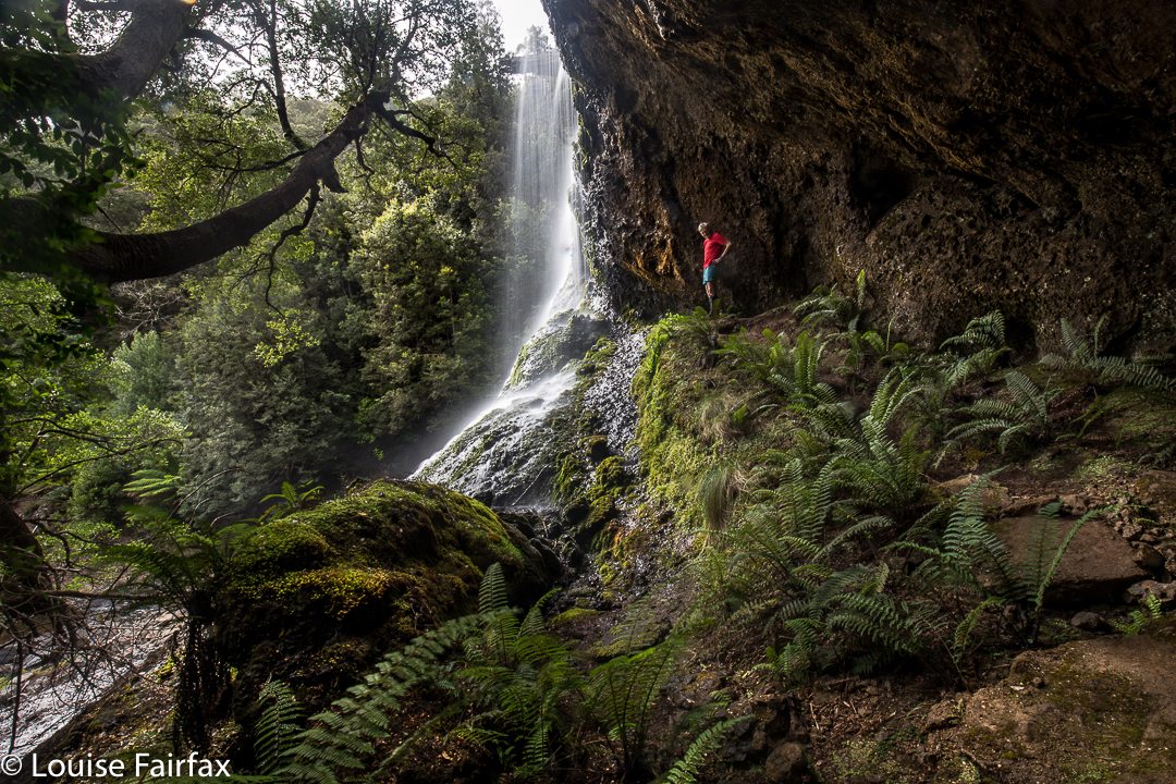
Bridal Veil Falls.
Meanwhile, I saw some photos of these falls taken at the end of January, so decided we should go and explore them while the water was still flowing. It seemed like a good-lengthed excursion for my husband (who has Parkinson’s disease), although, to be honest, I wasn’t quite sure how long it would take.  Basically, the circuit that encompassed the two falls pictured here took us just under one hour and a quarter walking time, to which, of course, you need to add time for photography and gazing.


Bridal Veil Falls.
We got back to the car, had a snack, and then set out for the No Name, very-little-information Falls. We came to a broken bridge, and had a spot of trouble finding the continuation of the track on the other side (there is quite a bit of flood damage in this area). However, we just didn’t look carefully enough, as, once found, it seemed terribly obvious. On we continued for a further seventeen minutes until the falls. There was a sign leading off to the right to make a circuit, but the level of desuetude of the track was such that I didn’t trust markers to continue, so we returned the way we’d come, which was longer and prettier, I suspected from a brief map stare. This route took us half an hour in each direction. There are no photos here, as there is a good reason why no one has bothered to name these falls in a more interesting manner. I guess they’re a “visit only in very wet weather” kind of falls. The trickle coming down the conglomerate slope didn’t make for thrilling photography. I took a record shot, but left it at that – unless you, dear readers, absolutely insist I publish it, just so you can see what you’re missing.
Now it was time to drive to our favourite Raspberry Farm for lunch, the best part of which was a luscious strawberry cream tart with fresh fruit glaze on top. Yum. I like walks to have a gastronomic reward.