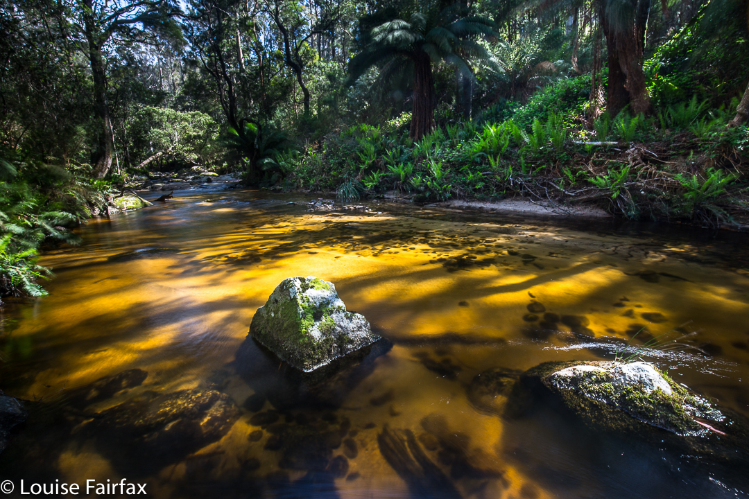
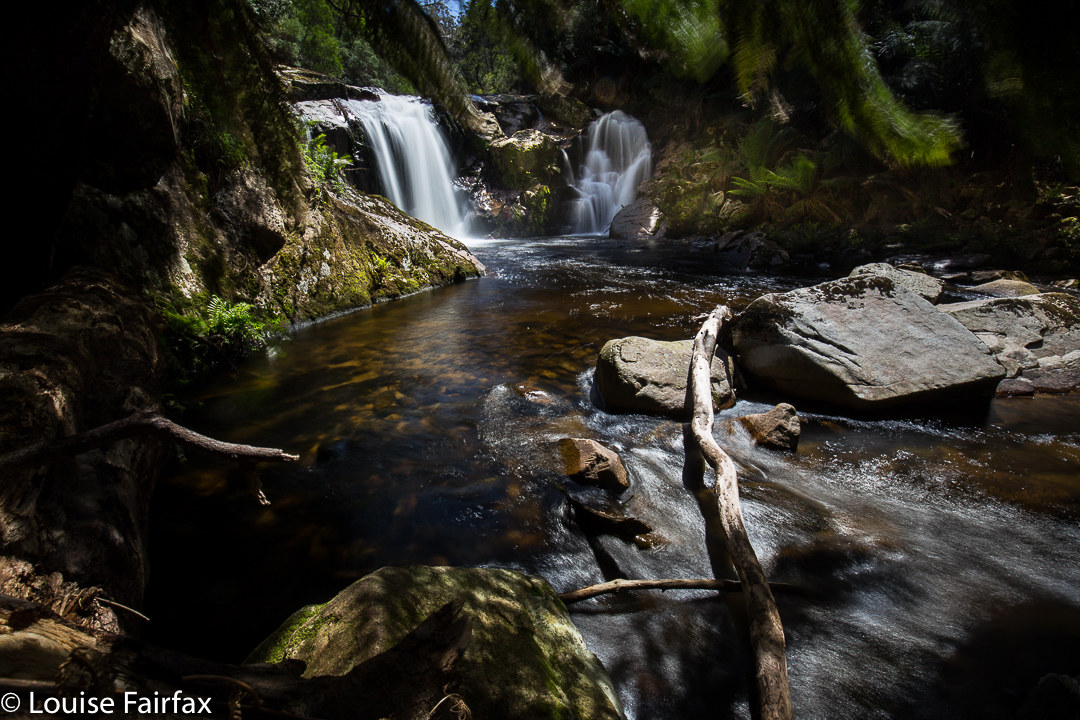
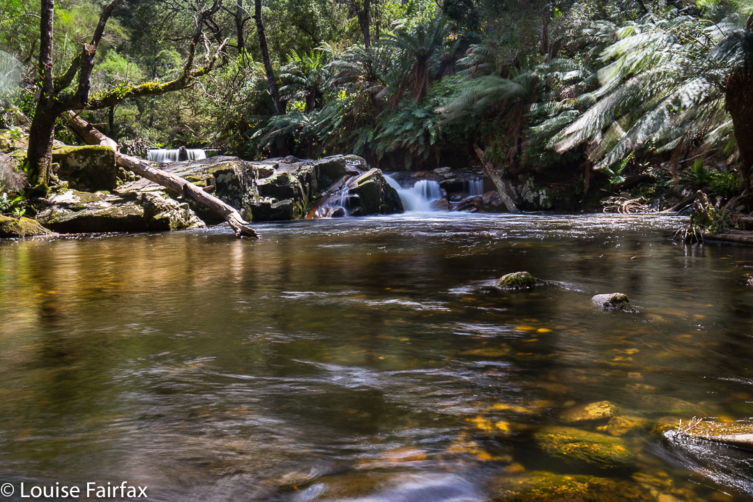
Honor Cascades 2016 Dec

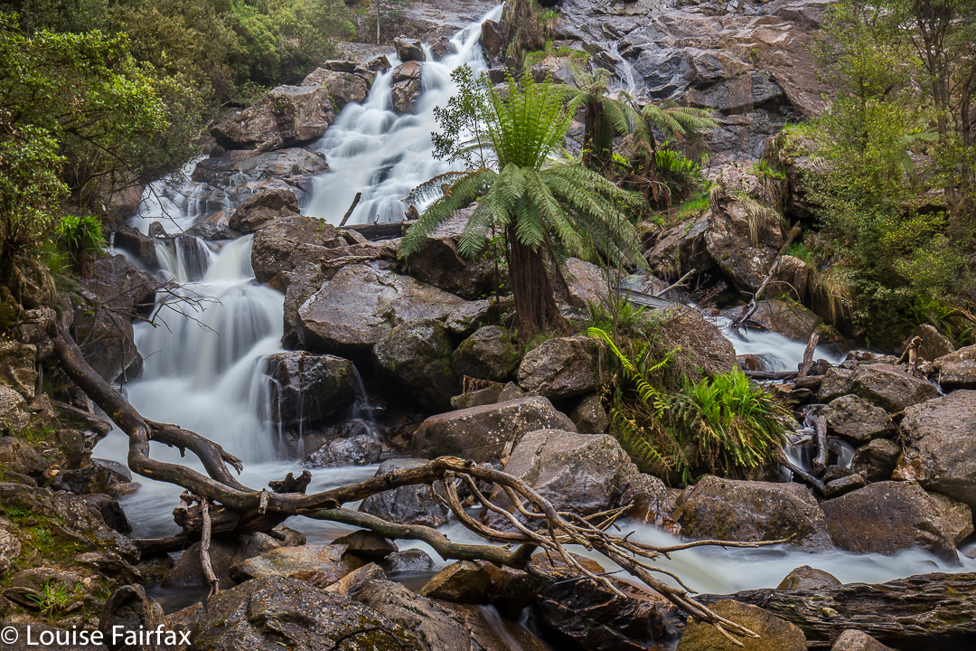
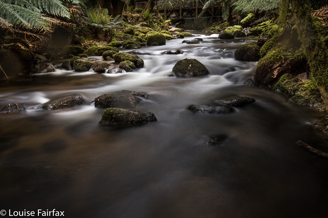
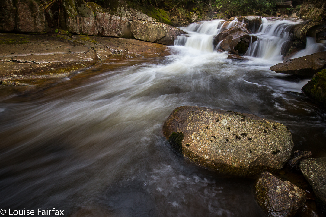
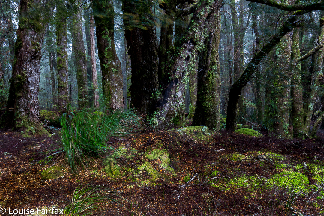
Honor Cascades Dec 2016.
Apparently the Honor Falls are 30-40 metres in height. It’s a pity I didn’t read that before I left home. But then, I really didn’t do anything much right today, so why spoil a good run? I did get the parking spot right – that almost blemishes my record.
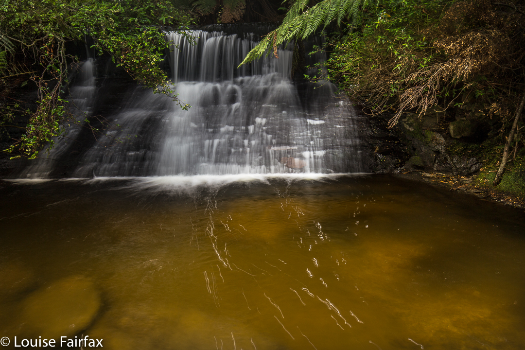
We headed south from Exton on a road that then entered Bogan territory (to become Bogan Road). I wanted a spot shortly after Bogan Gap, where the continuation crossed Bluff Creek, emanating from Quamby Bluff. However, near Quamby Corner, we came to a Road Closed sign along our southern trajectory, so changed to the A5 (Lakes Highway), heading south to take a left going towards Liffey Falls. Where this road forked left to Liffey (C513) and right to the falls was another Road Closed sign, but, WOW, not for us, only for the poor hapless tourists (quite a lot of them) trying to get to one of Tasmania’s premier tourist attractions, but cut out because no one can repair a hole. We smugly turned left.
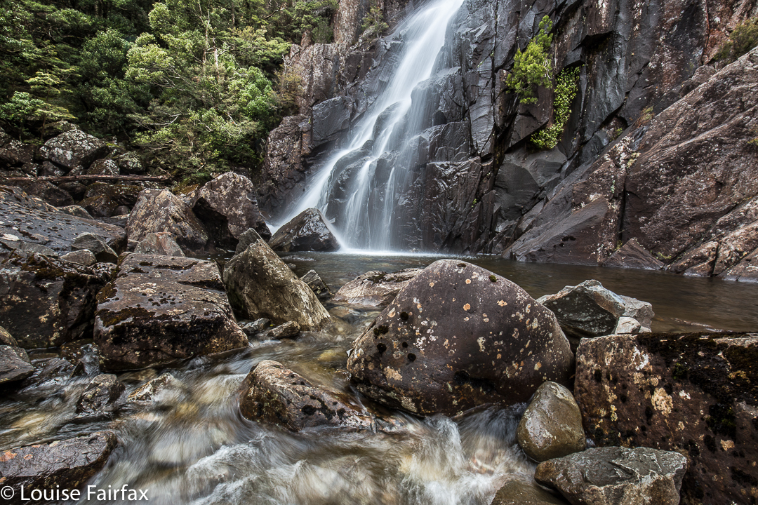
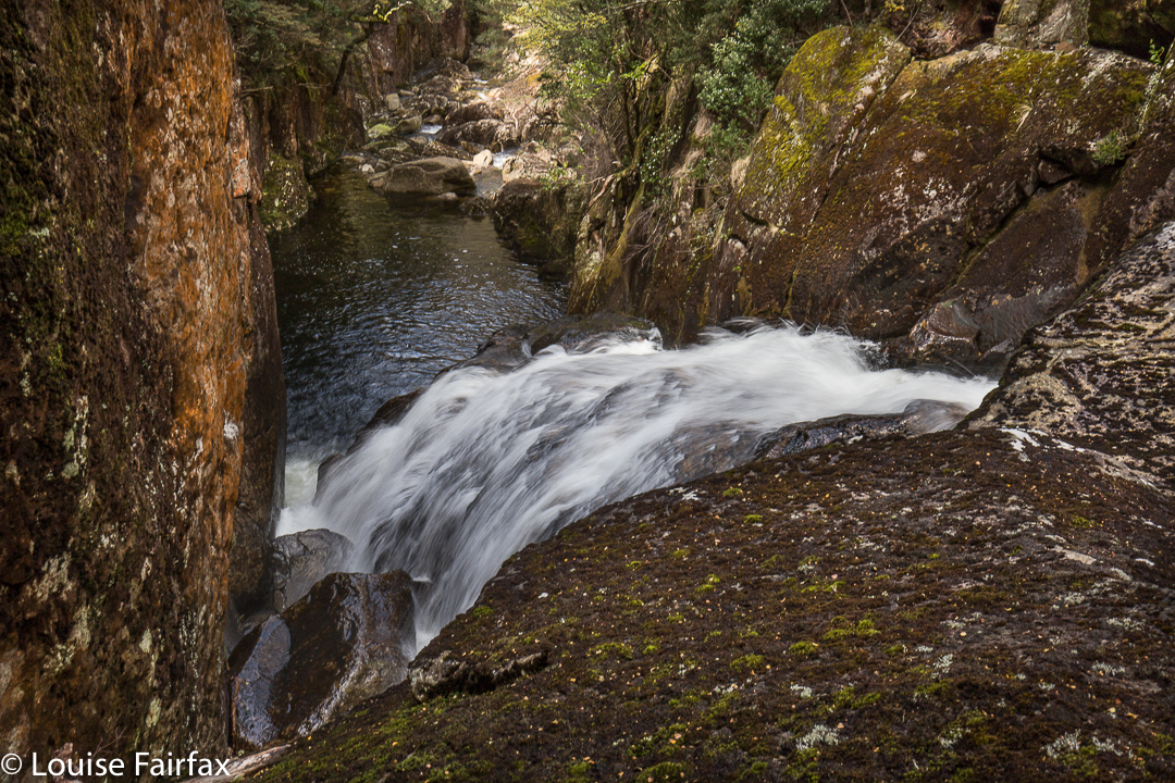
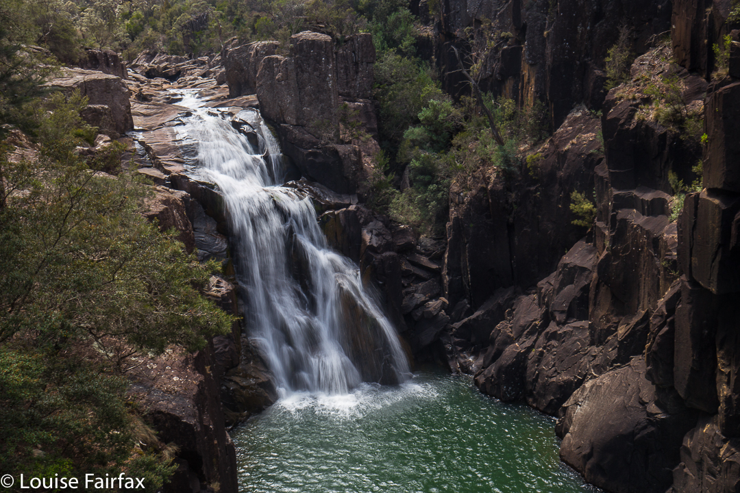
There were no further mishaps. Down where the road divides again, with the C504 going off, there was the creek and bridge I wanted. I parked just over the bridge, where I had always intended to park, even if this journey had now taken twice the time that Google had said. Hey, this was still better than sitting in bed sick all day with a temperature, which has been my lot for the last four days. The instructions I had read said the falls were a very short distance from the bridge directly behind me. I could already hear water, so dropped down to see the lovely waterfall pictured above and below.
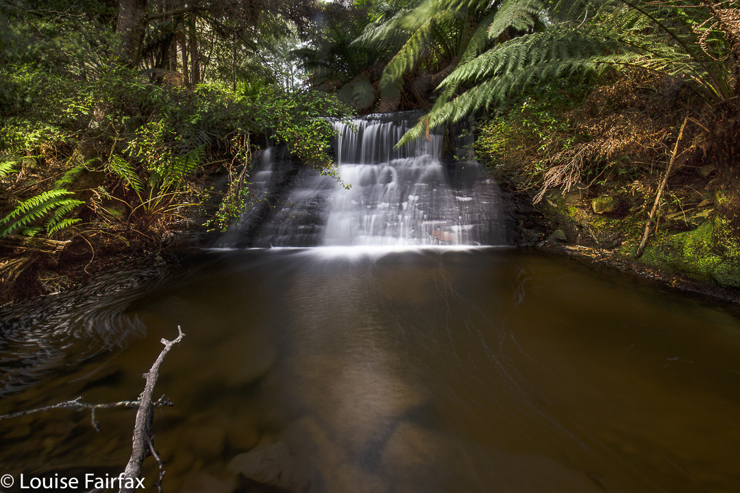
Not Honor Falls. These are Honor Cascades. Please excuse the American spelling, which I hate – but it’s official. Why????

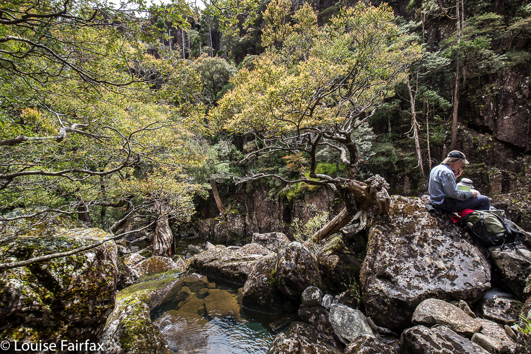
Now, when I run a temperature, I get pretty dizzy and unsteady on my feet. Today, at last, I was over the temperature, but I sure didn’t feel steady once I started negotiating obstacles in the bush. I hardly had to go any distance at all (maybe fifteen metres), but felt decidedly unconfident. Down by the water’s edge, a tree had fallen. I tried to tread on its roots, but the soil held together by them came out with the pressure of my foot, which slipped to the waters below. My camera gear slumped forward, getting dusty, obscuring vision. I poked out more soil and tried again. Good; first obstacle  mastered. Now I had to walk along said tree (with a dangerous drop of at least 20 cms into the gentle waters below). I only had to take one or two balanced steps along here until there was a branch I could hold onto, but regarded this as a challenge under these circumstances. My camera, tripod and filters were swaying uncontrollably; I felt absurdly clumsy. Amazingly, I didn’t fall, and, holding onto the upward-growing branch, managed to swivel myself into a position from which I could take some shots. I set up. My dog came to join me. She fell down the unstable embankment, landing in the waters and muddying them up for me. Thanks Tessy.
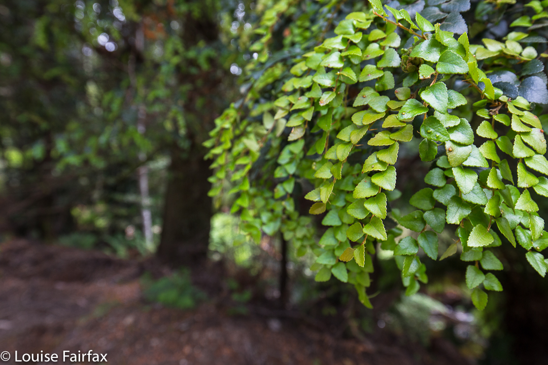
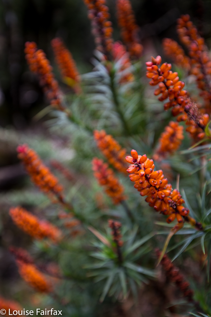
Young myrtle leaves to brighten my day.
My fancy Lee circular polarising filter wouldn’t screw into its housing, but apart from that, shooting went alright. (Pity I like to shoot falls with a polariser on). I didn’t even drop my little stopper in the water.
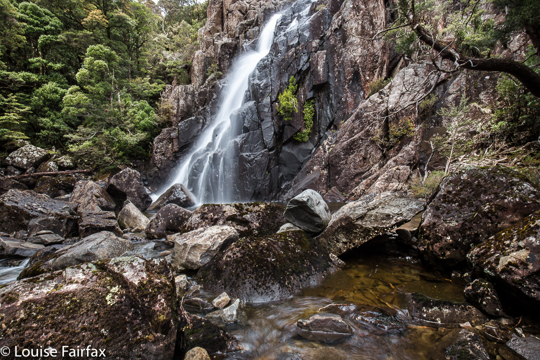
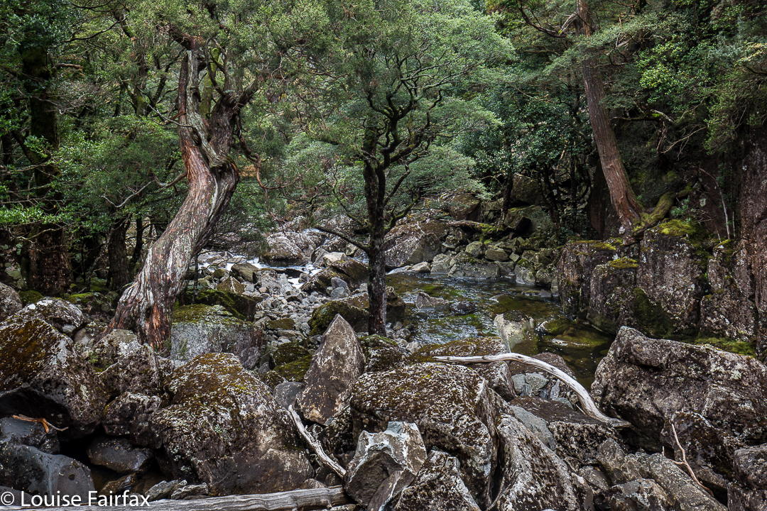
On leaving, I saw a tiny track that continued onwards, so set about exploring it (having sent husband and dog off on a walk along the road). There was an enormous amount of flood debris along what was obviously once a pad. Inept, as with my earlier efforts, I climbed with enormous difficulty – realising I also had absolutely zero strength in my legs, a most odd feeling – over and under obstacles until I got to two other cascades. They were nice, but camouflaged by too many fallen trees and dumped logs to be at their best at present. At this point I gave up, deciding I had, indeed, seen Honor Falls. I got home to read there are three cascades before the falls, and the falls are very big. Oh well. My honour is destroyed; I did see that, but I did’t see Honor Falls.
Luckily, Upside-down berry and rhubarb cake at the Raspberry Farm was everything I expected of it. AND we have explored another little corner of Tasmania, of whose existence I had been completely unaware. In addition, we were offered all sorts of interesting angles on Quamby Bluff in our travels.

Havelock Falls 2016 Dec

Havelock Falls.

Impossible picture: Havelock Falls

The Waterfalls of Tasmania web, http://waterfallsoftasmania.com.au (a site that I use frequently with pleasure), writes that Havelock Falls can only be seen from a distance, about 500 metres from the waterfall. Furthermore, it is stated, that “[d]ue to its location deep into a canyon, it is impossible to get close to this waterfall. It is also very difficult to get a clear view of the waterfall.” I had read and imbibed this information, so was thrilled that a group of friends I walk with occasionally were setting out on a quest for the base of this elusive beauty. I was hoping to get a little wet from her splash. I don’t like to be restricted to viewing waterfalls from a distance, and above.

Havelock Falls: Close enough to be splashed

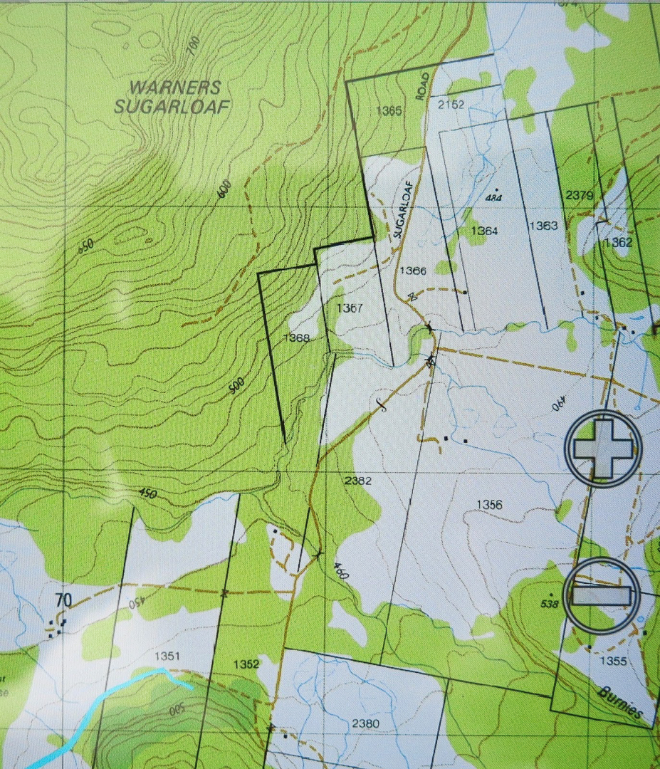
The route we were to follow was a Phil Dawson-John Tabor extravaganza. Phil had in mind a route up from the bottom from a road that emanated from an offshoot of the main road through Jackies Marsh (Sugarloaf Rd – see map below), climbing to a contour of roughly equivalent height to the gorge base, and then traversing in from there. Meanwhile, as a backstop, John had discovered a route in from above, which we would resort to if needed. Either way, we would definitely reach our quest.


Lunch by the river, with Myrtles, plus King Billy and Celery Top pines (the latter IN FLOWER).

Luckily, Phil likes early starts, so at 7.30 we were underway. We would need many of the apparently extravagant allocation of hours available – although part of this was because of injuries, and not all due to the tricky nature of the terrain.

I had very twitchy fingers at lunchtime 🙂

Early on, we marvelled at the way the floods had achieved a huge indentation of weathering, carving in their force a new, deeply-banked creek and leaving the old Donaldsons Rivulet (on which these, and also Warners, Falls are situated) more or less small and intact. After the double creek crossing (single on the return, as we were lower down), we located an old logging road, now a little tricky to follow as nature has reclaimed its own. Often the only sign of it was in scattered tree stumps, legacy of its early use. Up, up we climbed, through beautiful forest, but yet again, I have got ahead of myself. Unfortunately, down below one of our party twisted his knee, and very generously agreed to just sit and wait for us. It was to be a VERY long wait.

This is what we rock hopped along

When we were roughly on the right contour for traversing into the gully, Phil looked at the nature of the scrub and the number of closely amassed contours leading into the gorge and decided that climbing up and over would be a better bet. I really like this decision, as the forest grew even more beautiful, if that’s possible, in the final sections before the plateau, and second, it meant I got to see what it was like right on top. In addition, we were saved an ugly scrub bash and a possibly cliff-ridden trip into the gorge. While waiting a bit for the others, Phil explained to me that this was Cloud Forest, forest in which a great deal of water comes from clouds, leading to the situation that moss grows on all sides of trees and rocks, and not just on the side exposed to rain and water-laden winds (NE here).


My old friend, Richea scoparia.
On top, there was a fabulous sense of space as we trod through alpine meadows, nodding hello to a few pointless peaks before dropping down to the upper reaches of the Donaldsons Rivulet on John’s track. From here we got a brief glimpse of Warners Falls, but we were trying to be quick, so didn’t waste what we didn’t have by visiting them. Instead, we bypassed them up high until we reached the gully we wanted (past the spur you’d normally take to Havelock Falls for your restricted view as above), and dropped very, very steeply into the gorge to come face to face with our beauty. I made sure I got a little splashed as I photographed and later ate my lunch.

More of our rock hopping territory. It was unbelievably beautiful.
Let me return to this word “impossible”. For whom? Certainly, it would be impossible for most tourist types, or even average walkers. However, one member of our group will be 79 next birthday. In fairness, ‘though, I must hasten to add that this guy is a total legend, and a past climber of excellence who has kept himself fit and agile. I would NOT be planning to take grandad there if I were you!!!! We had a second injury after lunch – just a slide and bump on the rocks that shocked the slipper, and more than probably still hurts; it was a reminder that this was a pretty treacherous area and we needed to take care.

This is one waterfall (unnamed) that we did have to see from above, as we were hurrying to try to get back to our injured extra member, so didn’t have time to try to find a way down here for a “bottom view” … if one is to be had at all. As you can see, the sides are just a little steep.

After lunch and many photographs, we continued rock hopping down the river, seeing maybe what has not been seen before … or, if it has, only very, very rarely: gorges and more, unnamed falls of great beauty. Once things got excessively steep and cliffy, we climbed up the steep banks and bushbashed our way back until we met our original track. I loved every minute of this walk.

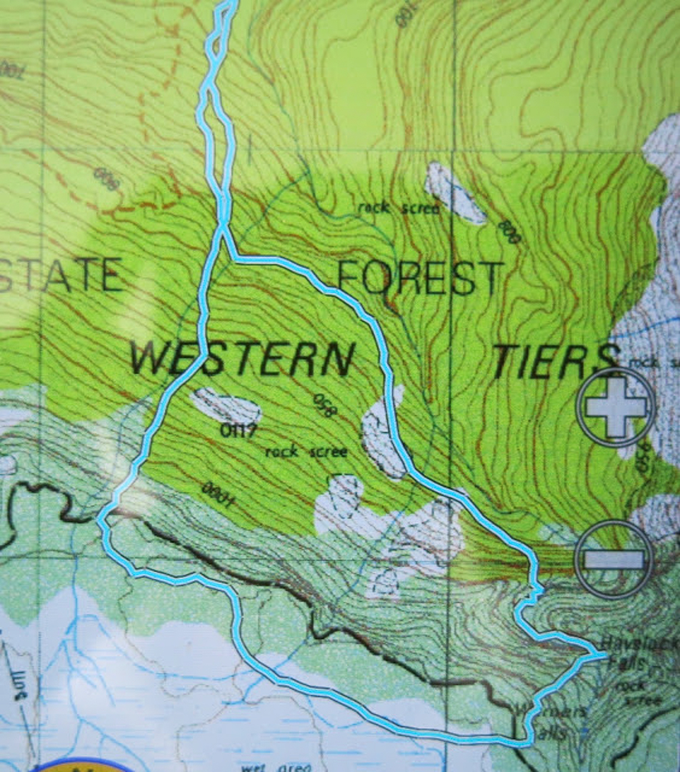
Detail of the ‘business end’ of our route (1:25,000). You will see the circuitous path we had to take downstream of the falls on the route home, following the weavings of the gorge.
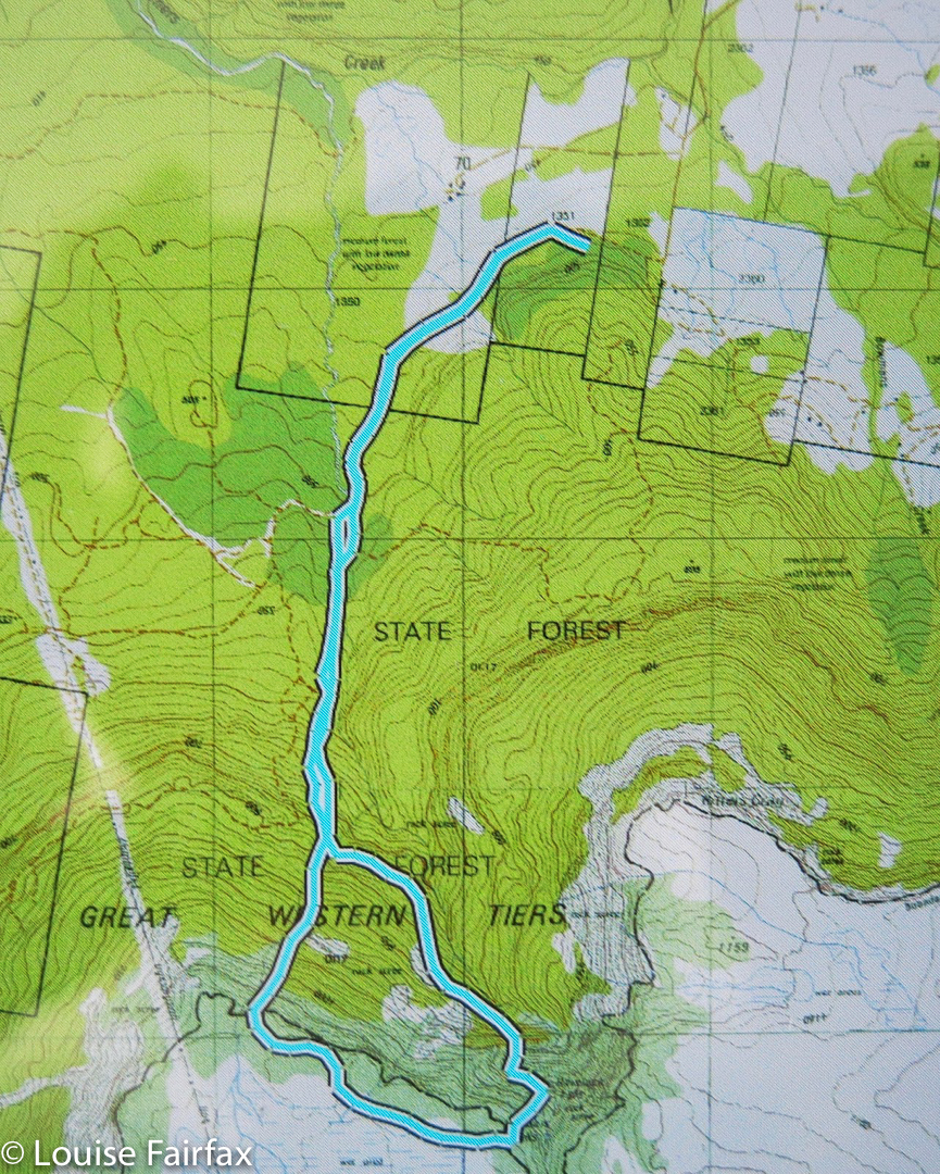
 An overview of the whole route
The cyan line begins our walking route. You can see from this map Sugarloaf Rd, and how to therefore get to our start.

Meadstone Falls 2016 Nov

Meadstone Falls. Waterfall bagging. Nov 2016

Gale force winds, snow to 800ms, driving rain when it wasn’t snowing, my cough was still very bad … this was a good weekend to do some quiet waterfall bagging rather than mountain climbing, and I was excited to see some more of Tasmania’s astonishingly diverse range of falls.

Meadstone Falls.

 I was particularly keen to have a go at Meadstone Falls, the road to which has been advertised as closed for a while now. I had heard that people had got around some of the “Road closed” signs and managed to see these now-elusive falls, so was keen to try my luck. I could’t really tell from any sources how far we’d have to walk, or how long the whole thing would take, so determined to set out as soon as we could after breakfast, and if it ended up 12ks in each direction, so be it.

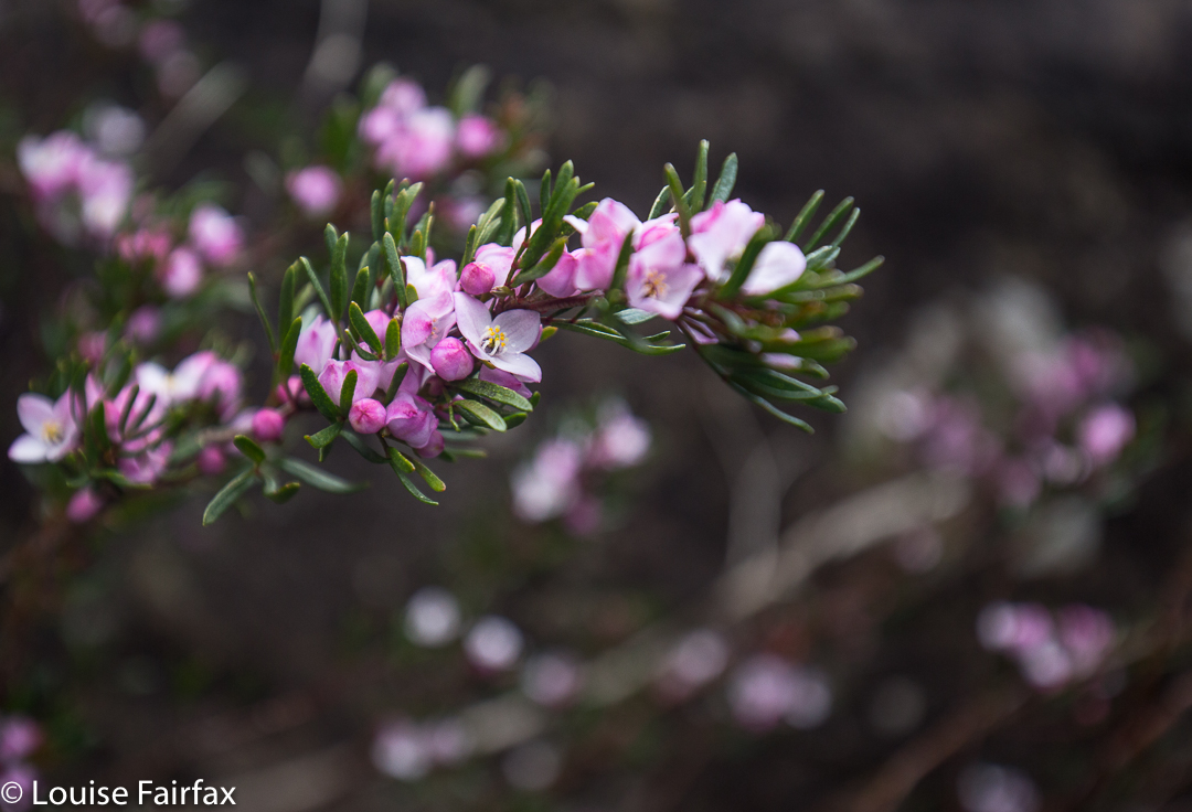
Lots of Boronia.

 I tracked and timed all sections so as to be helpful here in this blog: it was 27 minutes, and 2.4 kms from where we parked the car to the actual carpark you used to use in the good old pre flood days.  (Basically, we headed south from Fingal along Valley Rd, following signs to the falls and ignoring advice that what we were doing was dangerous. Eventually we came to a man-made hump kind of thing across the road just before a bridge. Other adventurous drivers had gone over and around this, but my adventurous spirit disappears when I am in a machine. I parked and we began walking. That is where I started timing and measuring.) There were lots of wildflowers, although not as many as on Thursday when we visited the Lobster Falls. The path was generally attractive. It took us exactly an hour from the car to the Lookout over the falls. The remainder of the track – the sweet, narrow bit – measured 1.6 kms – i.e., we had a nice 8 km round trip, a perfect morning’s jaunt. We made it a bit longer by also going down to the river at another point further along and playing a bit in the pools.

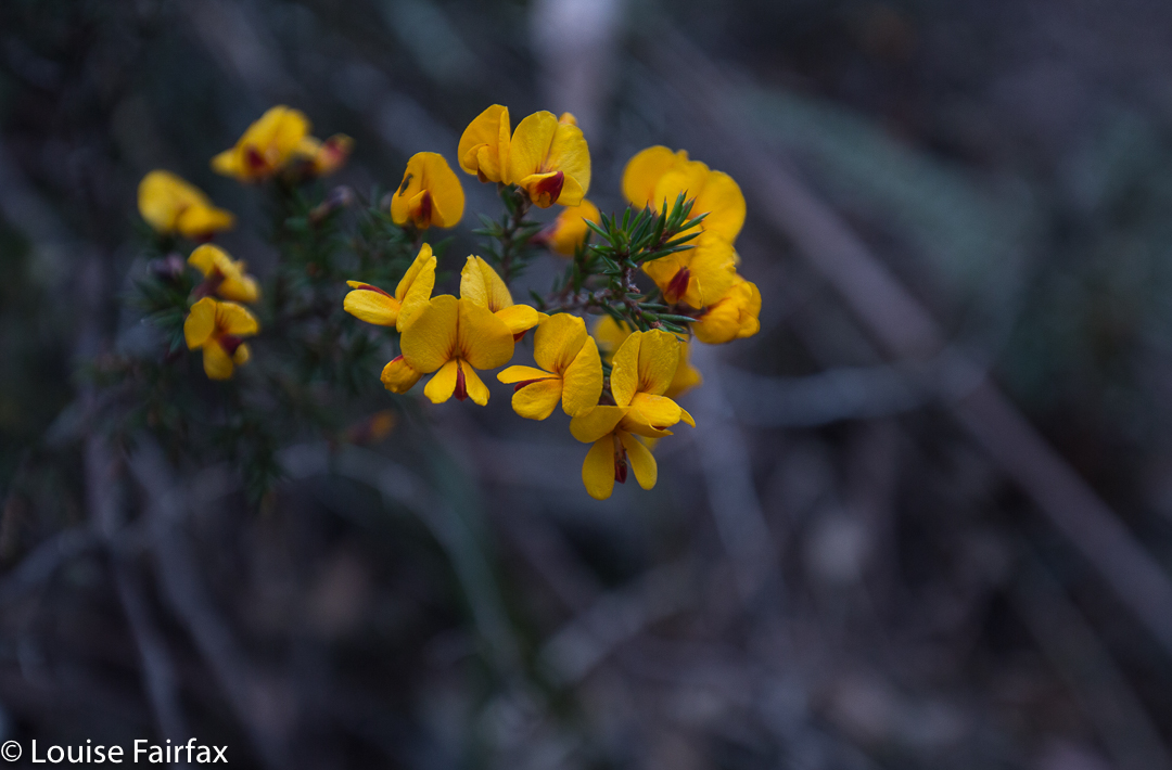
Pultenaea juniperina
The falls lookout is built for VERY tall people. This not-tall person thus had to climb up the wire (very tricky; the diamonds were much too small for my very big boots) in order to get her camera in a wire-free position to photograph. I would personally have thought that forcing that kind of behaviour was a lot more dangerous than having the railing at a height that allowed an unobstructed view of the falls. As a less than tall person, I regard this as a form of discrimination: if you are tall you can take a good photo, but if not, and you want to use long exposure, you have to balance in a perched position and somehow hope to hold your camera steady. The picture above is a 2 sec exposure, without a tripod (as the wire is way taller than a tripod), with me precariously balanced trying to poke boots in strong wire netting that gave no purchase. I reckon wire clippers would come in handy if you like photography.

The other falls we visited were the Ferntree Falls at St Helens, Halls Falls near Pyengana, St Columba Falls not far from there, and Ralph Falls near Ringarooma. I have given each waterfall its own blog to make it easier to find for people searching for only one fall.

St Columba Falls 2016 Nov

St Columba Falls Nov 2016


St Columba Falls
We were in the middle of a little waterfall binge, and St Columba Falls were to  be our final falls of the two-day holiday. We prised ourselves away from the Halls Falls and headed off for St Columba.


St Columba River, below the falls.
The sun had bothered me when photographing Halls Falls; it had been a bit too bright and posed photographic problems due to the glare. By St Columba Falls, we were back into rain. We are now well-practised at rain! At least it wasn’t teeming like the last time I was there.


St Columba River, below the falls.
The final waterfall for the day was scheduled to be Ralphs Falls, and I dutifully drove there through the gathering rain. By the time we arrived, the thought of walking was very unpleasant, and I knew any photographs would be of white measles. A guy who returned sopping said he couldn’t even see the falls anyway. Done. On we continued to Ringarooma, finding a very nice cafe for cake and coffee – a necessary part of peak or waterfall bagging – in Scottsdale at a Gallery.


Beautiful myrtle forrest near Ralphs Falls.

Halls Falls 2016 Nov

Halls Falls Nov 2016


The Groom River, on the way to Halls Falls, having left St Helens.
Having been to the Meadstone and Ferntree Falls the previous day, we now drove from St Helens in the direction of Pyengana, intent on the Halls Falls, but were completely distracted by the Groom River en route. We had to brave blackberry bushes to get down to it, but it was so beautiful and tranquil there, and the blackberry bushes were only calf height; it was all well worth it, and we spent quite a while by those amber waters.


Halls Falls
Halls Falls win our vote for this waterfall trip. The sign said to allow an hour for the return trip. We took only 17 minutes to reach the far end BUT we took much more than an hour to do the circuit, as photography and admiring took possibly an hour in their own right, to which you then added 34 mins walking time. We were there so long we had lunch at the falls.
These falls are well signposted and easy to find, being off Anchor Rd which is shortly before Pyengana, approaching from the east.


These above are not Halls Falls, but are waterholes above it. The whole area was filled with fabulous places for dipping, paddling, swimming or watching water flow.
Next stop, St Columba Falls. This was a true waterfall binge!