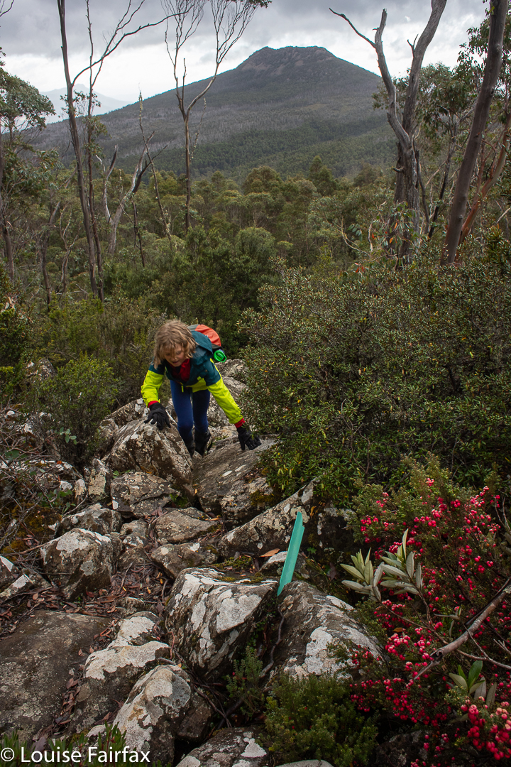
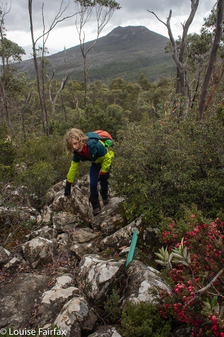
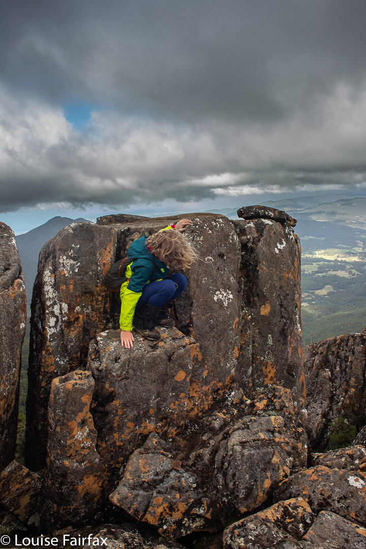
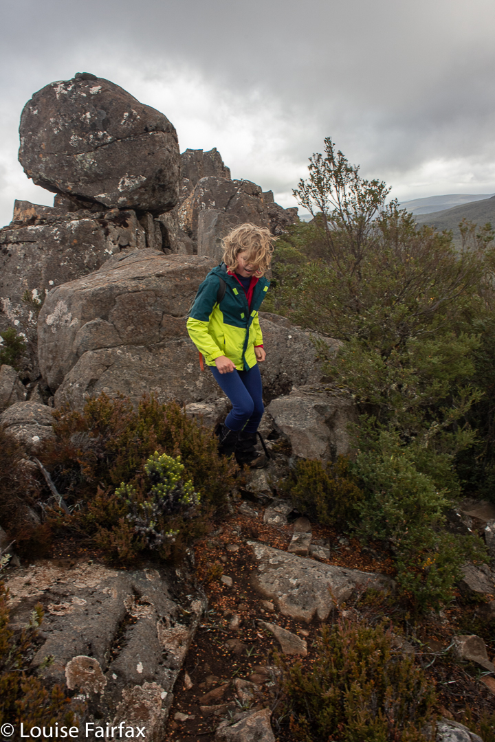
In an earlier blog, I wrote about climbing The Needles with children in mind, to assess the suitability of taking young children up.
(http://www.natureloverswalks.com/cullin-twelvetree-range/)
I was not exactly expecting to test my theory (that this was, indeed, a suitable climb) in conditions that had nearly every self-respecting citizen of the state safely inside by the fire.
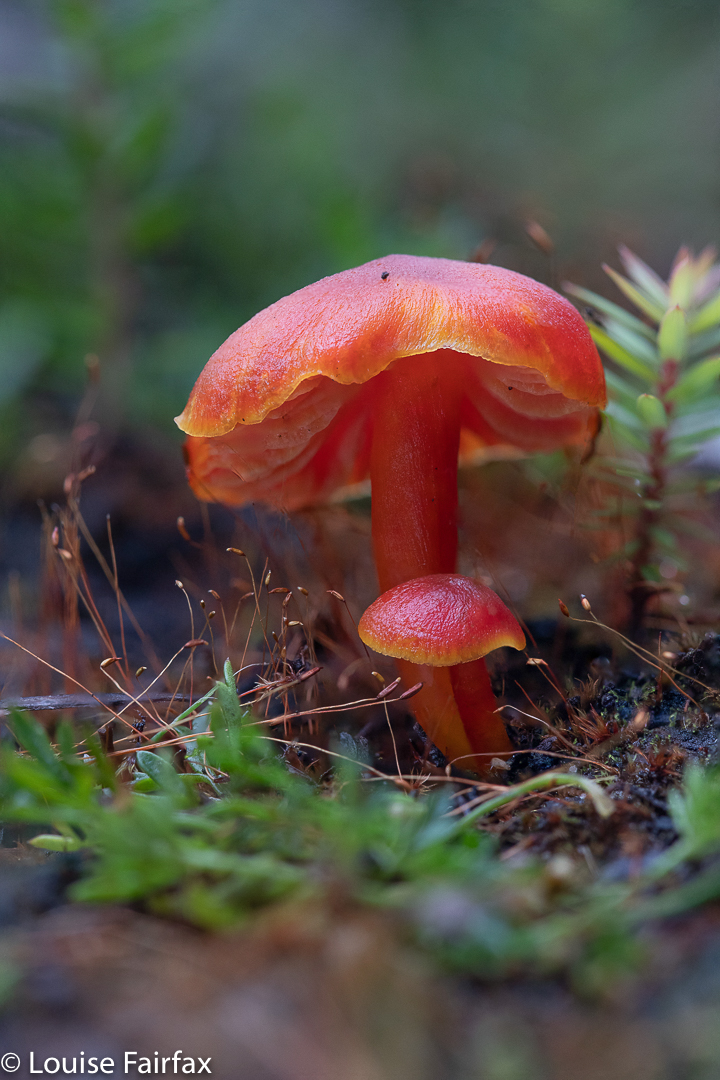
Hygrocybe firma near the start
But so it was. One makes bookings to be in a place at a certain date, and then arranges everything else around that, and, well, if the weather turns cranky you either have to sit inside, or go out and take what comes. We set out to take what came, and go as far as was pleasant, and turn around when things became impossible, unbearable, or both.
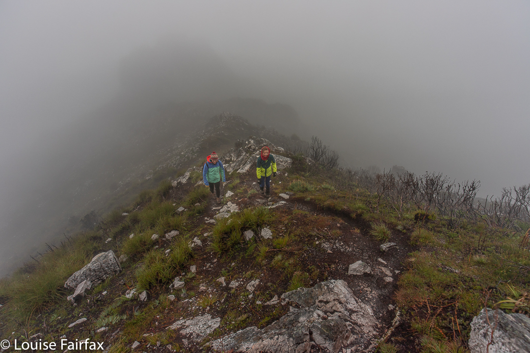
The Needles, climbing
We had booked a cottage near the Mt Field National Park, with the intention of “fagus hunting” up high. We had indeed hunted for the wonderful Nothofagus gunnii (dubbed affectionately simply “fagus”), noted for its marvellous autumn colours that tend to conveniently peak around Anzac day. However, up high where it likes to be, the wind was exceptionally strong, and the rain prohibitive with respect to photography, so we had enjoyed the workout up to Tarn Shelf, but hadn’t stayed up there for long. That – and some fungi hunting at Growling Swallet (a mud bath on this day) – was Saturday’s exercise.
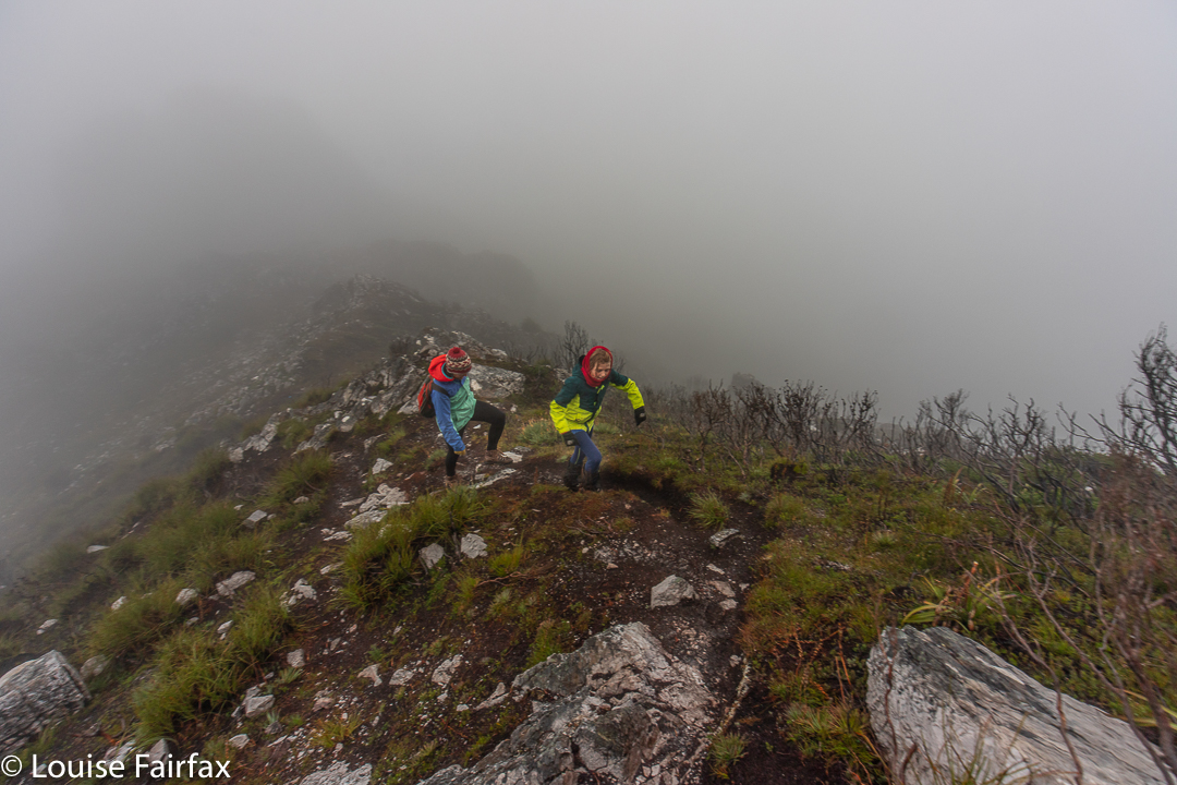
The Needles, climbing
On Sunday, Abby took Kirsten and me to Junee cave (which she felt very clever doing, being all of five years old). In the afternoon, Gus, Kirsten and I climbed the Needles.
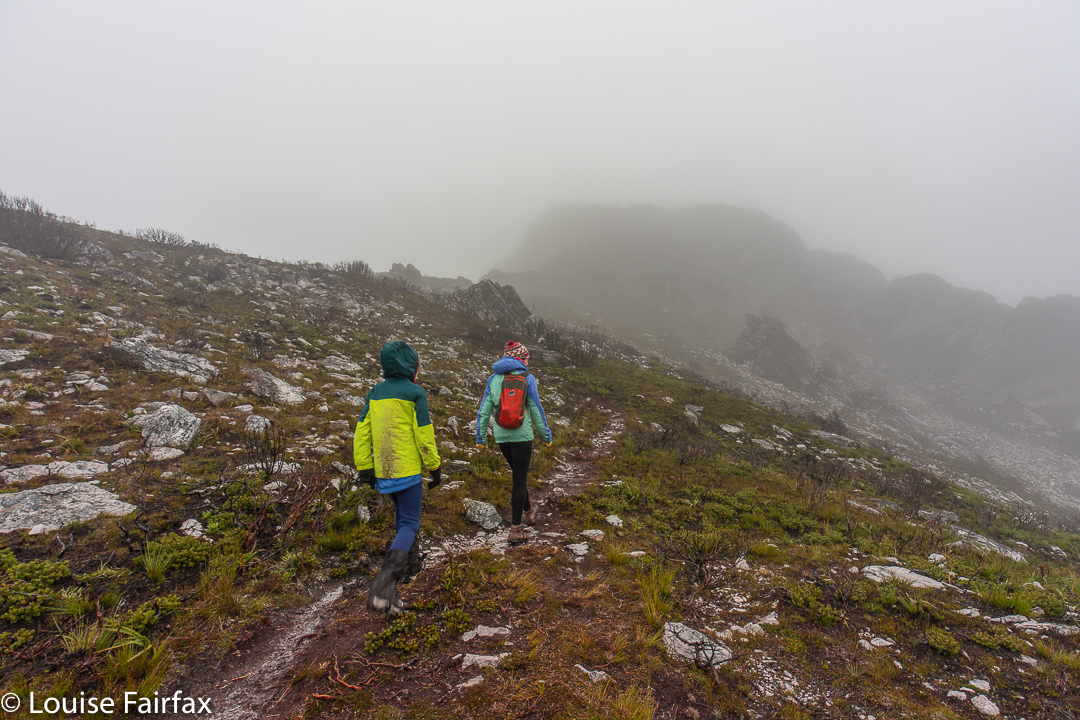
The Needles, climbing
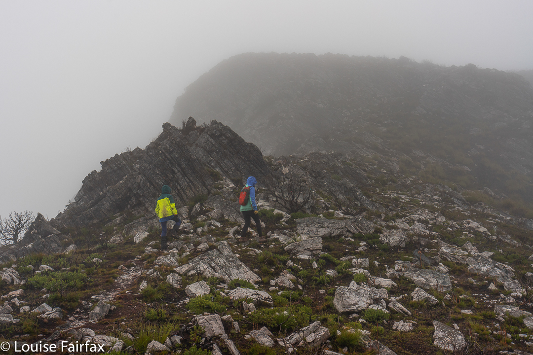
We could see almost nothing, and even less than that, as our heads were truly “tucked in” out of the wind; we saw our feet. Visibility was only about ten metres anyway. The wind raged. The climb was steep and entertaining, and we all enjoyed the exercise with the hints of rocks and drama to tantalise.
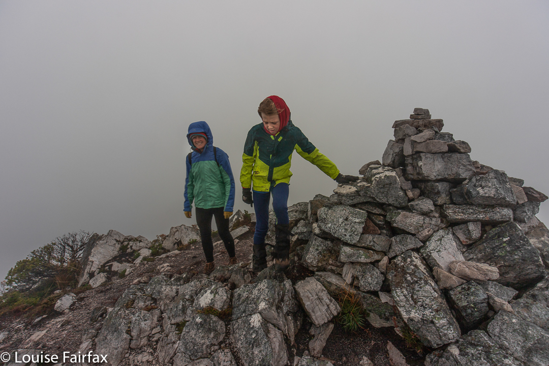
The Needles summit
In the final saddle, the wind was particularly strong, and the summit, for those who don’t know it, looked extremely forbidding, poking its blurry yet jagged outlines into the mist above, so that Kirsten was thinking turning around would be a very good idea, happening to love her gorgeous son and not wishing to see him disappear off the edge of this mountain.
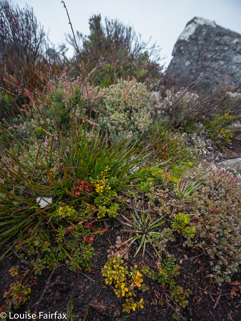
The Needles. Alpine garden just below the summit
Gus, however, had summit lust, and wanted to keep going. I assured Kirsten that the mountain’s bark was worse than its bite, and that he wouldn’t blow off some precipitous edge, even if it did look as if that were possible from where we stood. On we went. I adore this little boy too!!
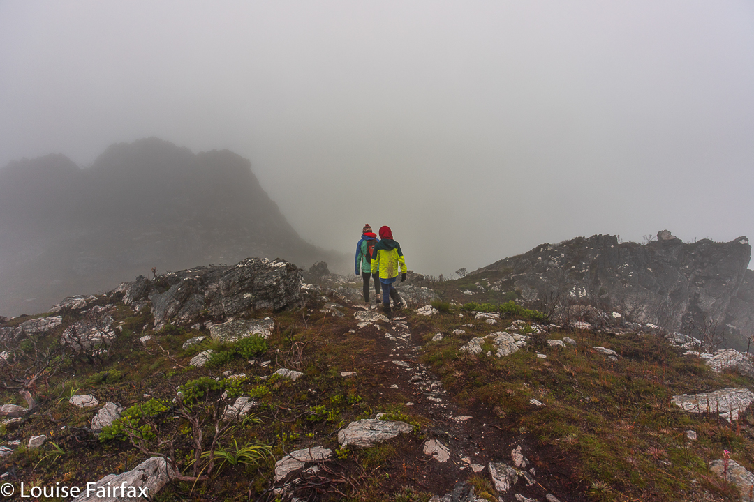
The Needles. Leisurely descent.
Gus said it was because of the hundreds of fungi we saw at the start that he named it the favourite mountain of his life so far (9 years), but I think it was also because of the exhilarating climb, made sweeter by the tinge of danger and the doubt about pulling off a summit victory. Where there is uncertainty and a tolerable sense of danger, final victory always feels more jubilant.
Stylidium dilatatum. (Trigger plant).
He had climbed well, making the summit in 46 minutes. Downhill was a couple of minutes slower, as more care was needed, and we felt at liberty on the descent to admire more of the fungi and the few straggling Stylidiums that were hanging around nearer to the start.
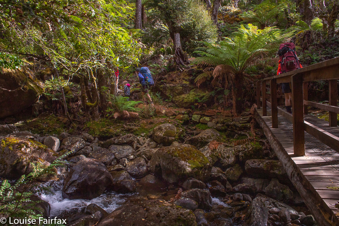
The forecast was horrendous: gales and sleet – not anyone much’s idea of fun. Gussy and I had hoped to climb Mt Mueller with HWC, as then we could get past the locked gate barring cars from a decent entry point, but, perhaps not surprisingly, we were the only two who turned up. The leader bailed out, and so I decided to take young Gus (9) to climb Trestle Mountain instead. We’d approach via the Mountain River track, which I find to be very beautiful: I love the mossy greenness of its path, and the fact that it is more a pad than a highway, which all too many Tassie paths are becoming these days. The forest would protect us from the wind right up until the final saddle, I decided. The light rain cum snow, we’d just take on board as we went.
Climbing Trestle
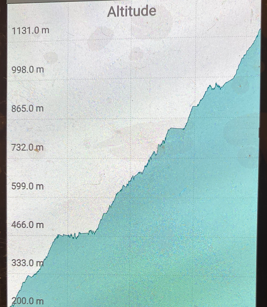
The other thing I like about this path is that it is very, very steep: almost unrelenting, and I just love the act of climbing. Perhaps the steepness is what has saved it from highway status. We would warm up nice and quickly. (The temperatures were not, at this stage, exactly appealing.) Looking up into the thick mist, I told Gus we only had about 20% chance of making the summit, but we’d at least have a workout.
Climbing Trestle
Up we climbed, Gussy doing very well indeed, and the saddle between Trestle and Collins Bonnet getting ever nearer. I had already increased our chances of summiting to 75%, but no higher, even though the summit was very near now, because I feared the blast across its wind-tunnel might be prohibitive, and we were only in this for enjoyment, so if Gussy found it unpleasant, we would immediately about-turn. He was, at this stage, worried about gusts and ice on top, which was another reason for the low percentage so high. I pointed out the rocks ahead that lie under the summit, and said if we made it that far, I’d increase our chances to 90%, but I wasn’t committing to a sure summit before I could see it close by.
Descending
The day before, I had had a hard knock in the head with a soccer ball, playing goalie for five primary students who were shooting two balls at me (or the goal), and suddenly felt a little wave of slight, yet passing, dizziness. I asked Gus what he would do if I actually fainted. He said he would phone his parents using my phone (and rattled off their numbers), and, if he couldn’t raise them, then he’d call emergency. He thought his parents would deal better with authorities than a grade 4 student. Good answer Gussy. On we went.
Descending
The conditions in the saddle were much milder than we had anticipated, but not pleasant for a rest. On we forged. I was delighted to see tree coverage going up the slope until quite near the summit. I thought we’d definitely get to the 95% point, but may yet be fouled out by gusts and ice on top. Gus liked our odds.
As it was, there was a brief lull in the fighting force of the wind, and we got to the summit, took a brief couple of shots and descended before the fury began again. Gus was not a scrap interested in snacking up there. In fact, he held off having food until we reached the car over two hours later. And there, we refuelled mightily! His mum had packed us a veritable feast, originally planned as a forest or summit one, but now had under more clement conditions down low. It was still lovely there.
Data; 23.63 km equivalents, comprising 14.02 horizontal kms + 961 ms climb.
To overnight it at Lady Lake had not exactly been our number one choice, but with further west promising rain if we were down low, and blizzards if up high, Lady Lake looked as if it were a more benign alternative, so we settled on it as our destination. Camping had been on our agenda for this weekend for months. It was the first weekend of the school holidays for the end of Term 1.
Off we set up Higgs track, through beautiful lush forest
As we donned our packs, the drizzle was only light. I knew the forest would protect us, and it did. Two of us were wearing shorts. It was not cold down there. Nobody bothered with anoraks. Up we climbed. It was not far at all but it was very, very steep, so that once you factored that into the equation, it was a very demanding slope for young Abby (5). I thought it could take her two hours, and it nearly did.
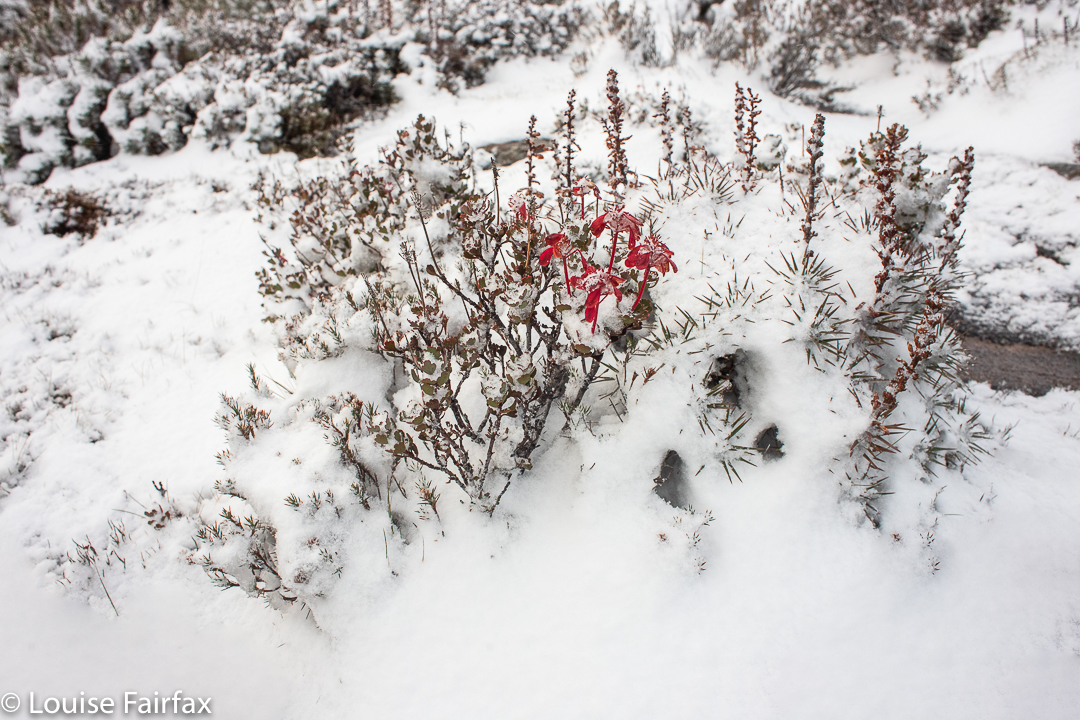
Bellendena montana in the snow
At some stage in there, Abby needed a lolly break – she was doing all the walking herself, and enjoys lolly treats as motivation. The pace had been pretty slow, and Keith had mercy on Kirsten, Gus and me and said we could go on a bit faster and he would stay with Abby. We were thankful. On we pushed at a more comfortable speed.
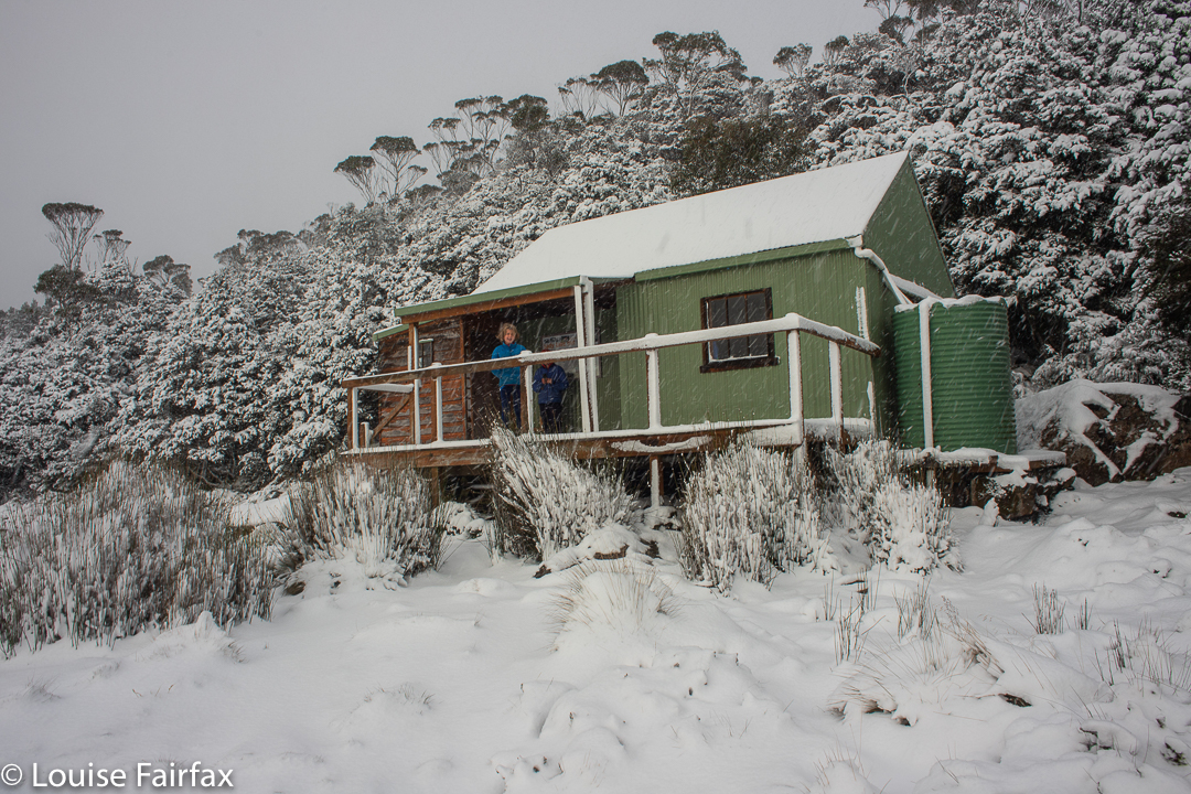
Shelter at last
Gus (9) moves at a pace that is very reasonable, especially if I am carrying a full pack, which, of course, I was doing right now. He carries some gear, but his noble parents take the lion’s share of the weight. Their packs are ginormous, as both parents are keen to cater for every emergency a child might experience, and then a bit more. They also fear the children might need to eat twice their normal amount with all that exercise, and cater accordingly.
The forest had been magic right from the start – it is exceptionally lush forest – but when light drizzle morphed into gently falling snowflakes, it became totally entrancing. All three of us were very, very excited, and shared our joy as we climbed ever higher.
Abby enjoying the hut
To have a quick break and to motivate Gus, I got out the map to show him how far he’d come, and how much was left. We were all pleased with our progress up the slope. I told him the forest type would be changing very soon, and indeed it did. The beautiful green moss with myrtles gradually ceded to drier traditional bush. It became much lighter as the darkness of the dense forest lingered behind us. We would soon be above the tree line. Gus and Kirsten were still in shorts. Even by now, the elements did not invite stopping to change: it was much better to go at a fast pace to some shelter than to linger in what was now a storm and peel off clothes to put on warmer ones.
Lady Lake environs
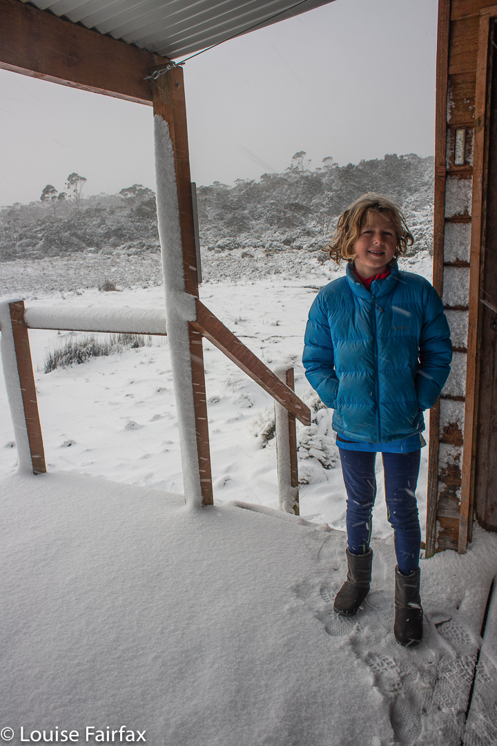
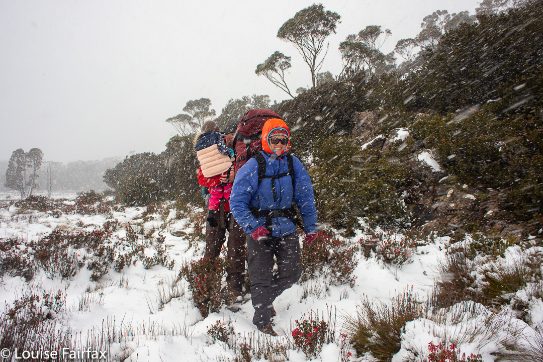
Bash. We hit the open plains. Whoah. Blizzard it was! The wind-driven arrows of ice pierced our faces. Heads retreated into our chests. Every time I tried to look up to see where we were going, I got mightily stung, sometimes in the eye. I could hear poor darling Gus whimpering. We offered words of encouragement, and Kirsten took his hand, partly for security and comfort, partly for guidance. She led with one hand held behind her, to reach him. I came in third, glad I didn’t have to guide us. Even staying on the boards that were on top was difficult. We were on a mission to get Gussy across this open wind tunnel and into the protection of the trees beyond.
Warm again
Once there, things were better, and soon we came to the small hut that is up there. It is unheated, but being out of the wind would be a huge benefit. Later, a tent would be pitched for extra warmth, but having the hut to get changed in, and eat in, would be a massive bonus. We also used it to do repeated “7-minute workouts” during the afternoon to keep warm, with a final one just before going to bed to make sure we were nice and warm getting into our bags.
Lady Lake environs. Evening approaches
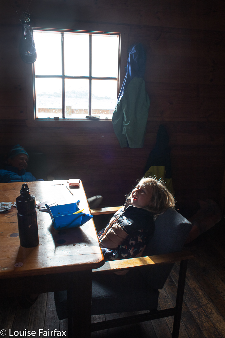
Kirsten quickly popped on her over-trousers, and some extra warm gear for Abby, and ran backwards to help Keith. I was there to help young Gus get out of his wet shorts and into his thermals and puffer jacket. He was incapable of even getting his shoes off, he was so cold. His hands lacked strength. I undid his laces and tugged with all my might, and eventually we got them off. I popped him into his ski gloves and beanie while I removed more wet clothes and replaced them with dry. That achieved, I got out food and sat him at the table to eat. Now he was smiling again. By the time he had finished his cheese and bacon roll, Abby and her parents appeared. Although she was surely cold, she seemed in exceptionally good spirits. Soon enough, they were all devouring hot noodles which raised the body temperature.
Dawn day 2
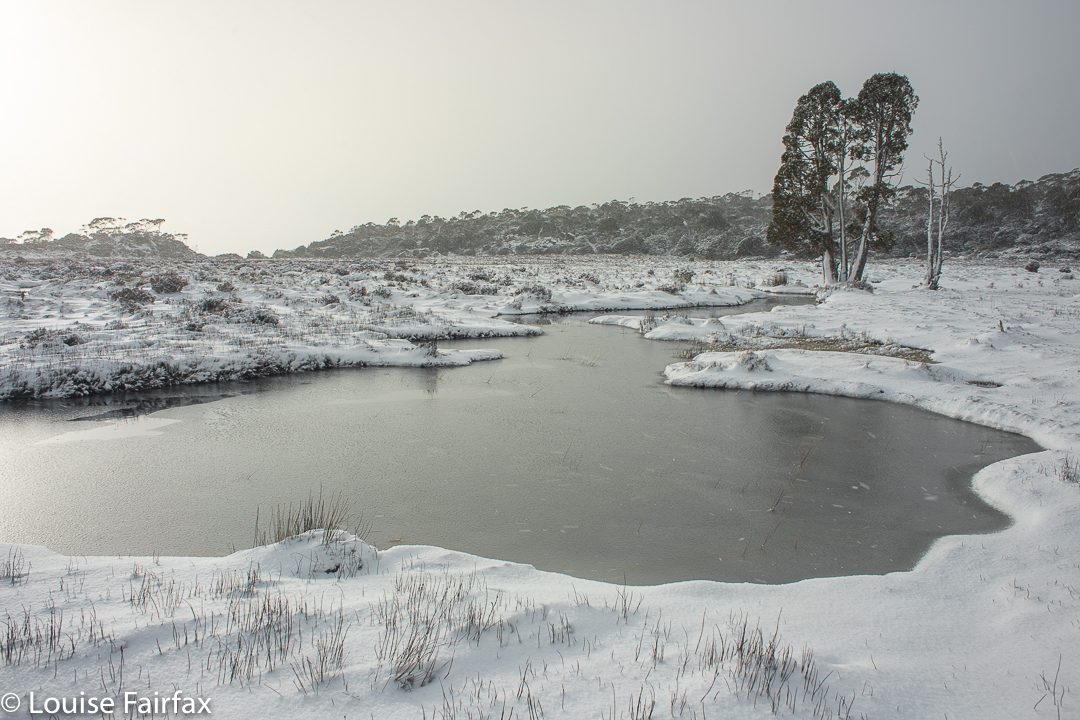
The children had had enough snow by then, but Kirsten and I wanted more exercise, so off we set into the blizzard once the children were happily playing games with their dad. We had no special destination, but after exploring Lady Lake, we decided to go in the direction of Lake Lucy Long. The more the snow fell, the prettier our scenery became.
Dawn day 2In between snow squalls next morning
By the time we got back, the bit of light that existed was starting to get close-of-day hues. Unfortunately at this point, I needed the toilet. The toilet at this hut is very well hidden, but I found it. Kirsten offered to go to the hut to get paper and bring it to me, for there wouldn’t be paper provided. Ever sat on a toilet in a blizzard waiting for paper? Oh it’s such fun!!! The outhouse has only three sides, and those sides are more screens for privacy than walls of protection. The snow lashed me while I waited, bare skin exposed.
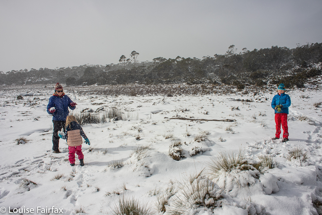
Snow fights before leaving
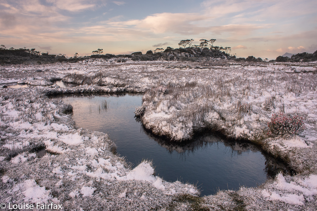
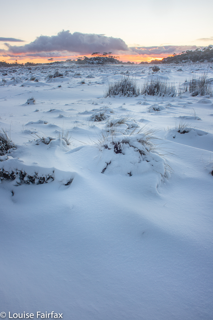
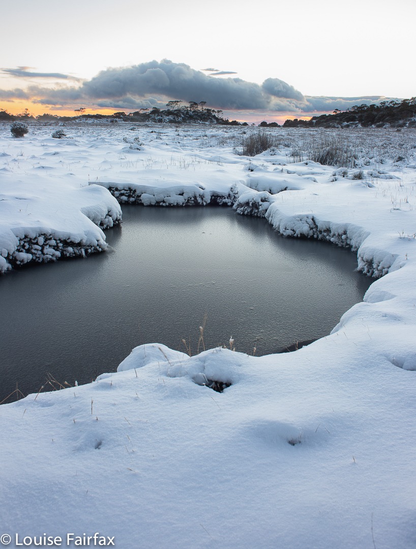
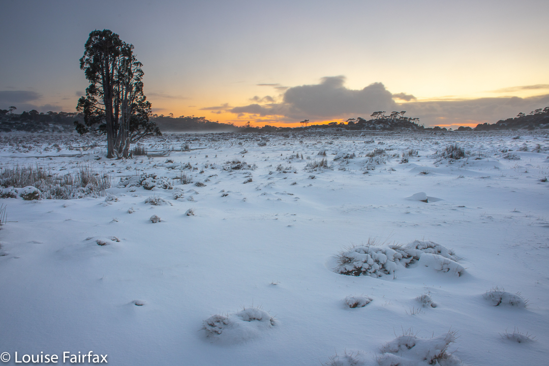
I forgot my discomfort quickly, however, as the evening was growing more beautiful every second, and I wandered about the open plains with my tripod and camera, enjoying the light and photographing it.
More snow fights
That evening, we could tell Abby needed the toilet, but she refused to admit to her need. She did NOT want to go out there into the howling wind and beating snow. Somehow her parents convinced her that if she had an accident in her sleeping bag she would be very cold and uncomfortable. She heeded the advice. We made her a hot water bottle, and she went into the tent with her mum. We didn’t hear another peep out of her. Everybody slept very soundly. I hugged my water bottle, my body heat enhanced by our final 7-minute workout.
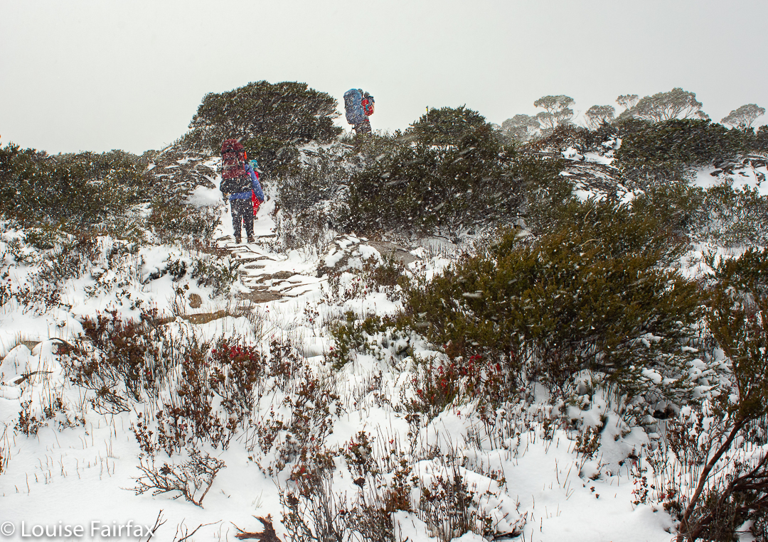
The trip back out
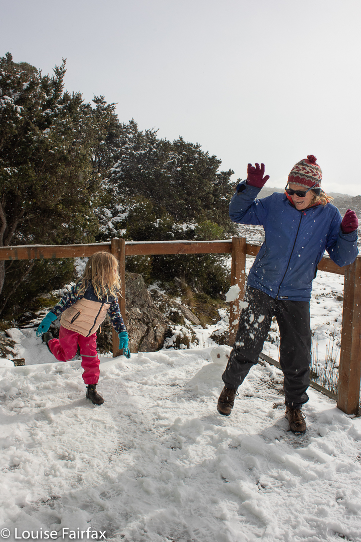
Dawn was magic, as my photographs testify. I was so thrilled that Gussy came out to enjoy it too. His Poppa would have been proud of him. Bruce enjoyed sunrise and sunset with me without fail, often waking me up if he feared I might be about to miss it. After breakfast, we had snow fights and more photography before girding our loins and setting off into the area of greatest exposure. Luckily for our speed and her safety, Abby agreed to being carried until the forest section began.
The trip back out
After I got home, I had maybe the longest hottest shower I have ever had. I hadn’t felt particularly cold out there, but I guess the blizzardy, exposed section took more out of me than I realised. Back near the cars, I heard two people going up the slope talking about “what a cute, amazing little trooper”. It made me assess what tiny Abby had done from their eyes: it was a pretty amazing effort. I hope she remembers it with glee.
For summer views, see http://www.natureloverswalks.com/higgs-track-lady-lake/
I was in search of a decent-lengthed workout, and have long wanted to visit Pelion Falls, on the northern side of Mt Pelion West. I decided that I’d have a go at reaching these falls (and back) in a single day. If I failed to succeed, the act of trying would be reward in enough. I would have a great workout in the mountains, and get to enjoy wonderful scenery while I did it.
Little did I know that I was setting out on a 55.6 km walk, to be squeezed in before it got dark (although I did have my headtorch in), and carrying a 7.3 kg pack containing food (nearly 2kgs at the start. I returned with 1kg), emergency equipment – both clothes and electrical -, and, of course, my trusty tripod, Nisi filters and full-frame camera.
Pelion Falls
It is pretty impossible to calculate absolutely the distance to be covered from a map, where many of the twists and turns are not reckoned with, but I thought I could be letting myself in for a 35-38 km day. Why would anyone check on the gps track data whilst in motion? I decided to have a look at half way, and without taking height into consideration, I knew I was already clocking up a day of over 50 kms. It was only the day after that I added in the height variables to discover that the reason my legs were a little flat on that day was that I had not only covered 45 horizontal kilometres, but also climbed over 1000 ms, yielding 55.6 kilometre equivalents for the day. I am very glad I didn’t know that before setting out, or I would never have trusted myself to get it in – at all, let alone in the light (which I managed – just).
Pelion Falls
I did know I was undertaking what looked like a big distance on the map, so set out in business-march mode, powering up the first very steep and quite long slope, making it to Lake Price in 48 minutes. I have always nicknamed the tributary at this spot (which is actually one of many tributaries of the Arm River) “Drink Creek”, as it is traditionally a spot for having a drink and letting a group gather all its members together after they have spread out during the climb. Some people take an hour ten, or more, to reach this point. But I was alone, part of no group, so was as free as a bird. I threw down a quick drink and was on my way.
The next twenty eight minutes took me to the high point on my track, which is a saddle overlooking the area of the Overland Trail, with excellent views to Mt Ossa, Pelion West, Pillinger and more. Light clouds decorated the mountains, but I could still see everything I wanted to, and delighted in it. How incredibly free I felt, to be able to go as far and as fast as I liked with nobody complaining. The silence was blissful (as long as you don’t count my singing, but I don’t listen to myself sing; I just do it as I walk. It is an expression of the song that is constantly in my head).
Pelion Falls
Already at this point, I had bumped into five people in two sub-groups, who had climbed Mt Pillinger to watch the dawn up there. I knew the father of the group: he was on Bruce’s staff at Church Grammar, and he and Bruce and other staff members had done an epic crossing of the Western Arthurs many years ago. I have never once seen this person around Launceston, but have bumped into him in the wilderness three times!
I made it to Pelion Hut just as the last people were leaving for whatever they were about to do that day. Three of them stayed to chat to me while I took a brief food break. The lights went on for one of them; he realised who I was and told me he follows both my blog and my instagram. It was such fun to meet them.
After the hut, there is a strip that took me over fifty minutes down to Froggy Flats and its crossing over the Forth River. That split felt shorter, as the scenery was so beautiful time whizzed by. Time did not whizz by for the next split, which looked much shorter on the map than it actually was, due to the many ins and outs the track makes to deviate from a direct path. Such diversions get smoothed out on the map. Also, it is an uphill stretch. I didn’t realise the extent of the climb until later when I examined a graph of my route. At last, however, I came to a creek, which on examination proved to be my much-awaited Pelion Creek. I confirmed by consulting my gps. There was a family group resting there. They asked where I was going, seeing’s I’d just turned from continuing straight ahead. I pointed into the shrubbery: “That way.”
“Oh”, they said, somewhat surprised. It hardly looked inviting. I explained there was a waterfall up there. They wished me well.
Pelion Falls
At last I was there. It had taken, so far, 4 hours and 40 minutes of concerted effort, and would take longer to get back, for sure. Was it worth it? OH YES. Not so much because it was the most beautiful waterfall on the planet, and certainly not because I could tick another box. A cynic could say that this was an example of the psychological phenomenon of Cognitive Dissonance Theory, whereby it is claimed that our brain invents justifications for the advantages of something that we have just invested a lot of time, energy or money into. There is good statistical backing for this. However, I just say that yes, it claimed a lot of work on my part, and that does make it special to me. Things that come cheaply are not valued as highly as things we have worked for. This waterfall will always remain special to me, because I gave so much to it, and it did not spurn me, but greeted me with ethereal, ephemeral beauty of wispy veils of delicate white mist, partly obscuring fresh, lush but rather diminutive pandani trees and masses of moss.
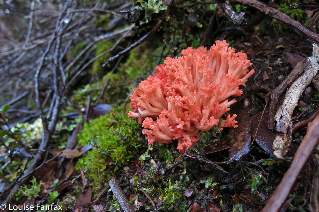
There were far more fungi than flowers on this trip. A patch of maybe five clusters of Ramaria botritis caught my eye.
My only regret of the whole day was that I couldn’t spend hours there, but we are on the lean side of the equinox, and the sun would not allow me this luxury. Having hurried here, I now had to hurry back in a race against the dark.
My race did not proceed without several more lovely social happenings, however. The people I now passed wanted to know how the waterfall was; of course I had to tell them. Then, as I was passing Froggy Flats, I heard my name being called. It was a former school captain of Church Grammar, and thus old friend now. I could have spent hours catching up, but we had to agree to do so in Hobart later. We did a small bit there, and I got introduced to his family. He said he was just telling them that the very reason he was standing in that spot was because of Bruce and me. I felt very emotional about that. You help students, you introduce them to things you love, you share with them. When you hear that it has had a profound influence on their life, it is very meaningful, and it also sent me a pang of grief at the loss of my dear Bruce.
Lots of sections of my walk traversed lush wet forest – always such a joy
Back at Pelion Hut, and having a more substantial food break, someone I didn’t think I knew came rushing out of the hut, greeting me by name (and with a welcome hug). It turns out she was from the ABC and had done a recent interview with me when one of my photos had won third place in a big international photography competition. We had a lovely talk, and someone else from the hut brought me a cup of ginger and lemon tea. How fabulous is that (thanks Tyler)!
And so, now it was time for the final 2.5 hours of my stint … or longer. I was getting tired, and yes, it lasted 2 hrs 50, as my freshness was evaporating. This section was not without social interaction, as I met two more friendly people and, well, this is Tassie. When you meet someone in the bush you don’t just mutter hello and pass by; you interact, and I was no longer on the Overland section of the walk with its crowds of tourists. This bit isn’t in tour guides, so the people you meet are locals. Hoorah.
I felt confident that I would be back before dark, so was no longer hurrying. I’m glad I moved on when I did, however, as I got back to the car right at the end of the visible day. I now had a two-hour drive to undertake with full fatigue. For me, the dangers are not those of the bush, but those of the road on the way home. I want to stay alive for my family, and also for my dog. If I died on the road, who would know to feed a waiting Tessie? So, I had arranged for my friend Evelyn to go and feed her should something happen to me. I gave her texts when I could to report progress. Meanwhile, my darling daughters chatted to me on the phone (hands free), partly to tell me about Easter, but also, I suspect, partly to help keep me awake at the danger end of a fabulous day.
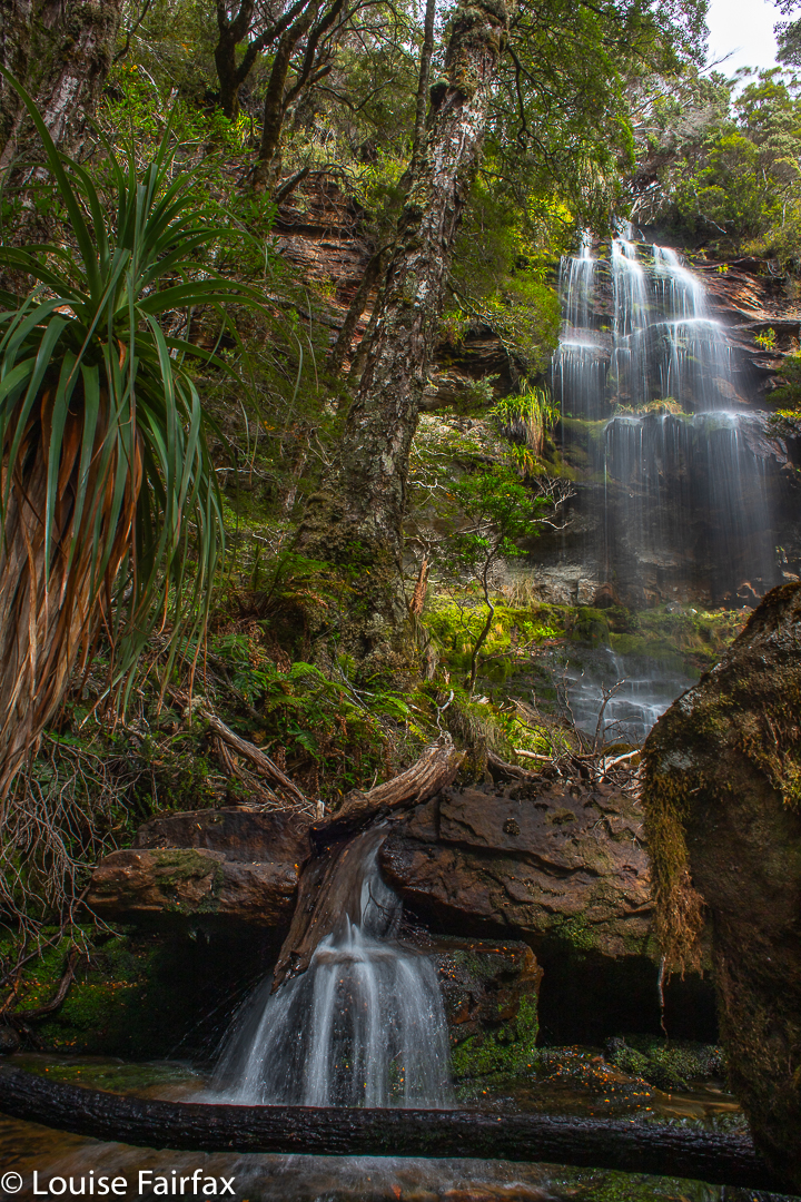
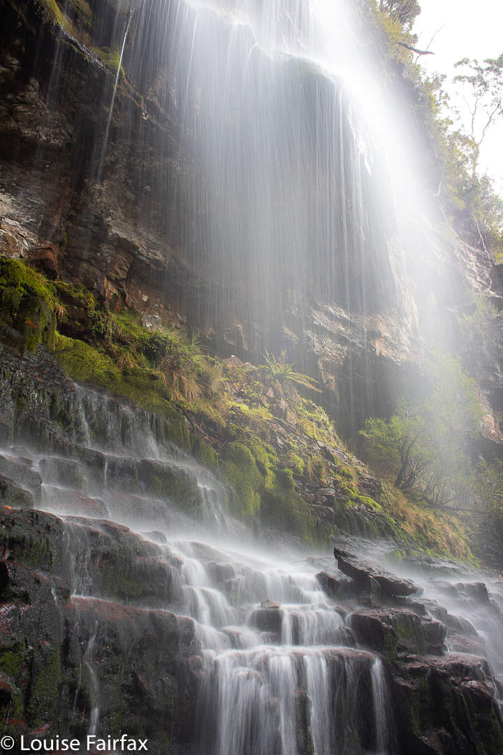
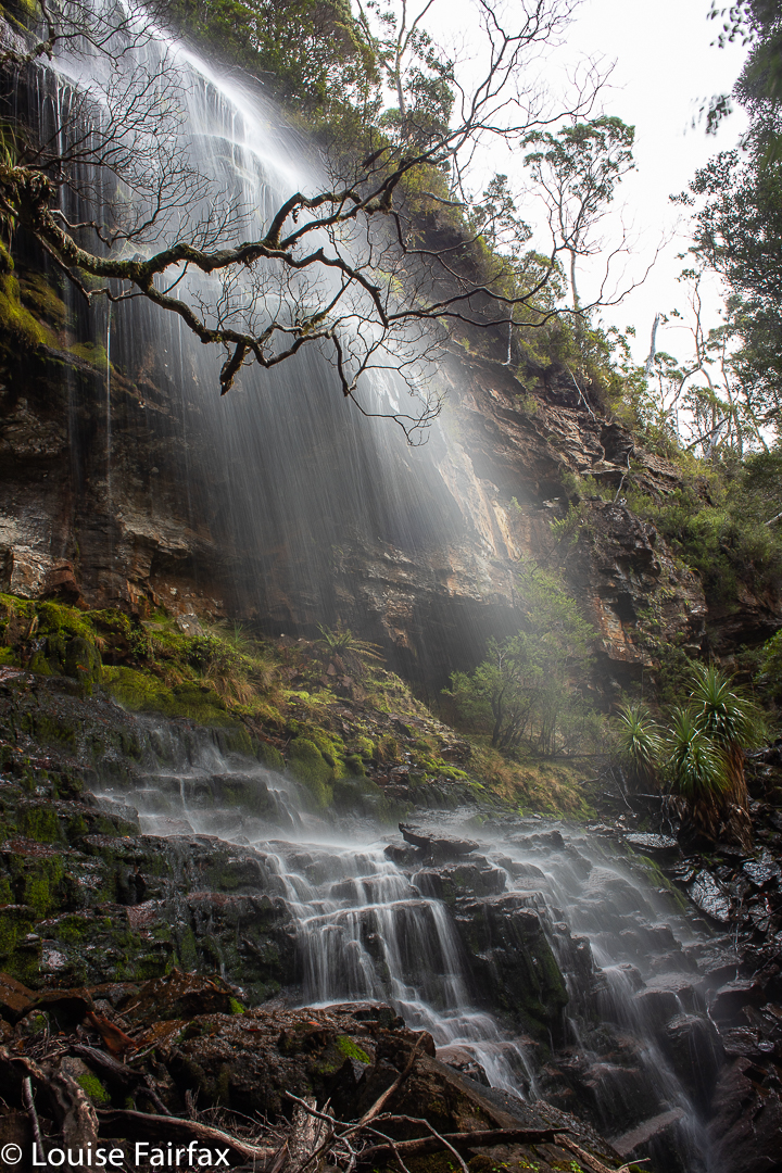
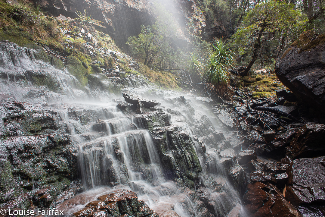
I had a free day in Hobart, and there had been good rain about a week ago, so, hopeful that water would still be flowing, I set out for the newly mapped and named Trestle Falls, lying not surprisingly on Trestle Creek, which flows down from Trestle Mountain.
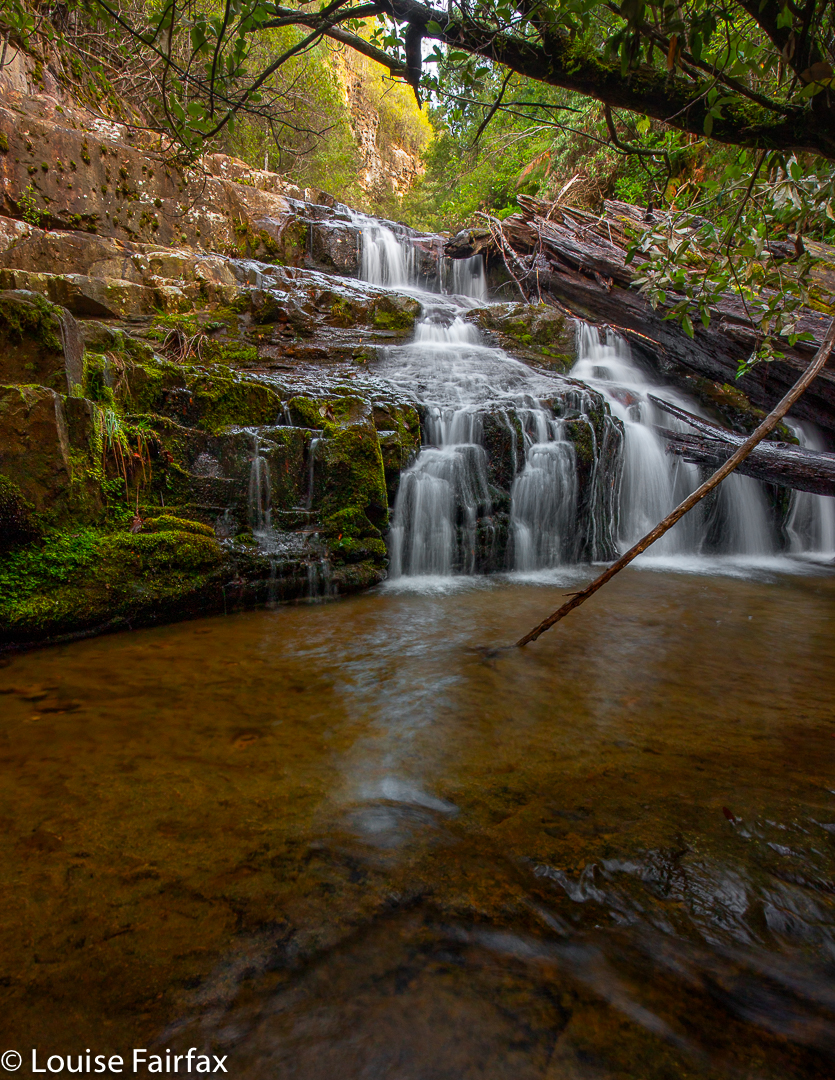
Trestle Falls Lowest
When I looked at the map, I decided the best approach would be via the publess, shopless hamlet of Mountain River, and use the track called Mountain River Trail that emanates from the Mountain River Road terminus.
I have actually never used this trail, having only climbed Trestle Mountain using the Mt Connection track to its east. That track was wide and boring. This one was a narrow, green path which I greatly enjoyed. I used the track to gain height; the falls, however, do not lie on any tracks, and navigation and “bush bashing” (not much bashing went on) are needed to get there. There was certainly an amount of ducking, climbing and weaving. This is for experienced bush people. Using the track, I worked out from the shape of the land when I was on the same contour as the falls would be, and left its ease and headed into the bush on contour to reach the lowest of the falls.
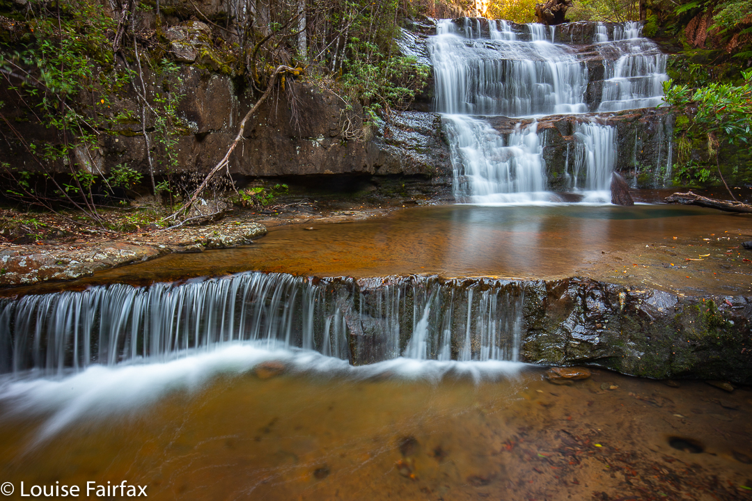
Trestle Falls Lower
The forest was not difficult to traverse, and was delightfully green. Even better, there was, oh joy, no ugly blasted pink tape to mar its beauty or kill the animals. Obviously, this waterfall was in the south, where the population seems to be less inclined to ruin every scrap of bush they can find. (I’m allowed to criticise the north, as that’s where I live. Are there any untaped waterfalls left up there? Don’t say which ones, or they’ll have plastic littering them by tomorrow.)
Trestle Falls Middle
Anyway, this waterfall was a “choose your own route and adventure” one, a dying breed, and I loved it for that. I enjoyed the uncertainty of reaching my goal, which makes finding it so much more pleasurable.
Trestle Falls Middle
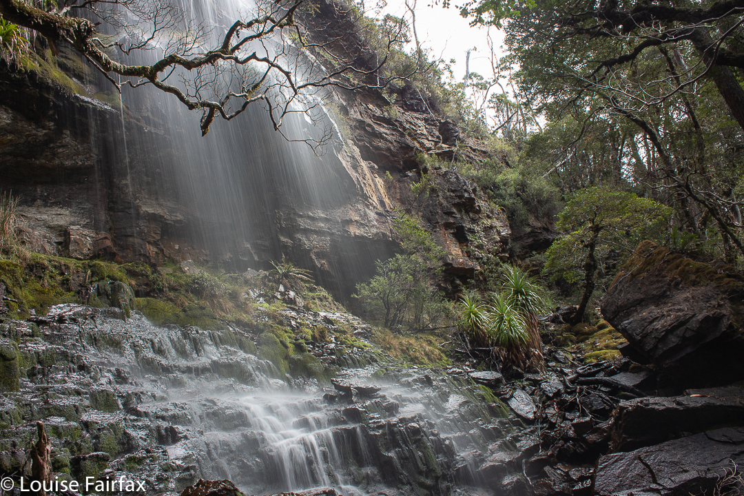
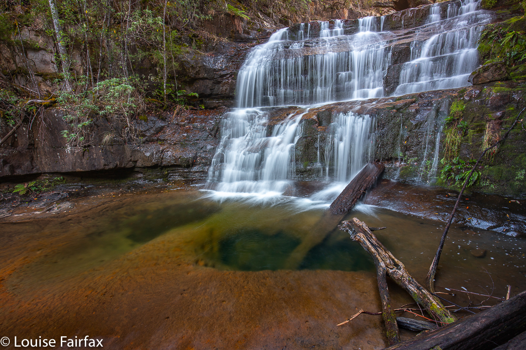
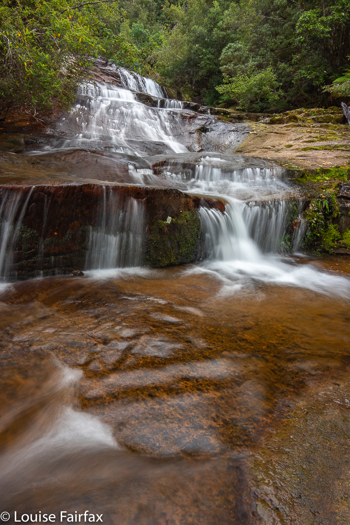
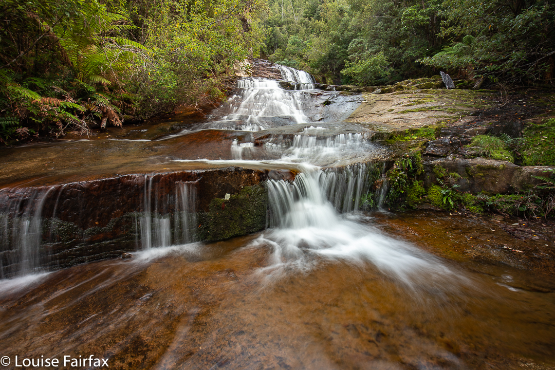
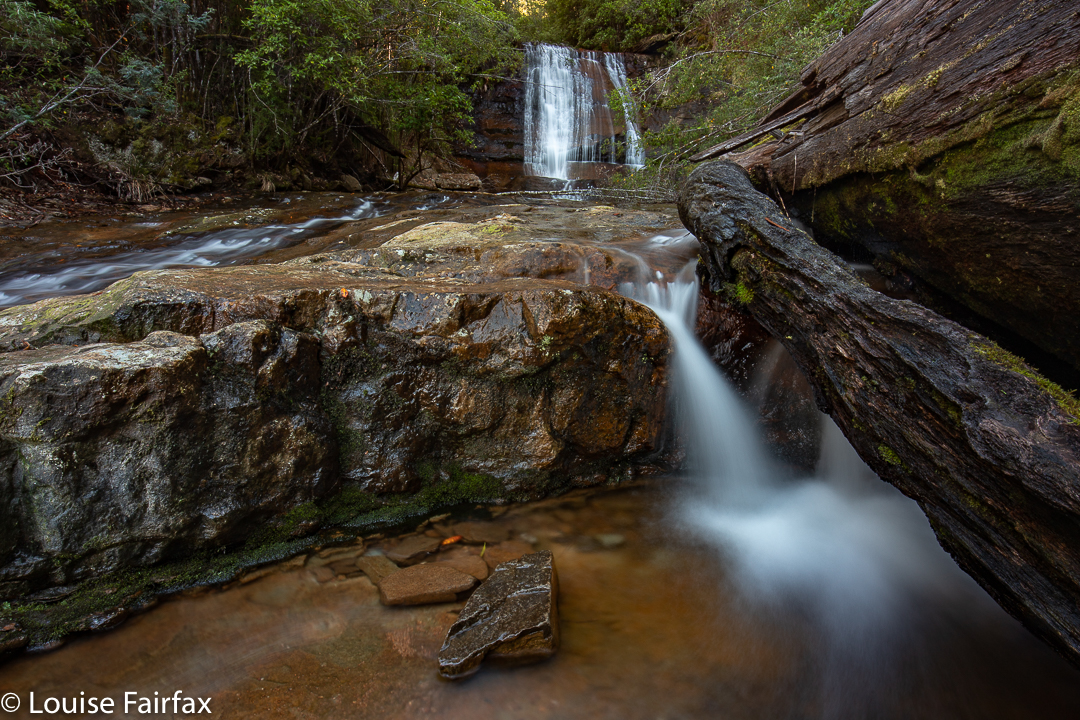
I found four waterfalls that I considered to be worthy of setting up and photographing. You could call it more if you counted some of the “doubles”. I didn’t, so called it four. My bottom one, number 4, was lower than the one called Lower by Caedence, so I called it Lowest Trestle Falls. Then came Lower, my favourite. Middle was pretty nice and Upper, well, it was better protected than the others – ie, less accessible – and I’m not sure that the effort would justify a return visit. Definitely, for me, falls 2 and 3 won the beauty prizes. The top falls, that are where the falls are on the map, are certainly the tallest, but size isn’t everything in my books.
Trestle Falls Upper
My route back was not a good one, as I was extravagant with the height gain out of the top falls, and had more obstacles to deal with at that height. Although it was downhill, and theoretically quicker, I took longer than on the climb up to reach the falls. My route in was 43 minutes from car to the bottom falls, the route out nearer to 50. The catch is that I spent 1 hr 15 covering maybe 200 ms between the top and bottom, due to massive amounts of photography. Even so, I was back in time for a late lunch, and full of joy at the lovely forest I had been immersed in. For me, to photograph beauty is to become united with it. I totally lose myself and merge with whatever it is I am photographing. It is a very liberating activity.