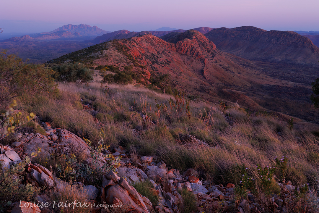
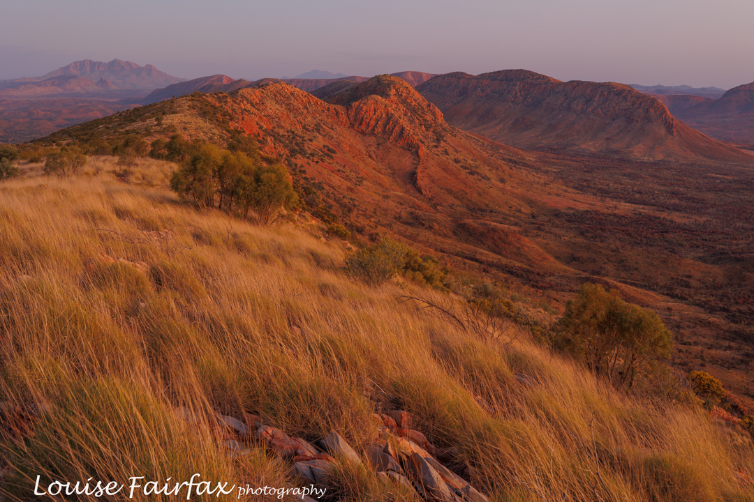
Walford Peak and Marble Bluff 2024 Feb

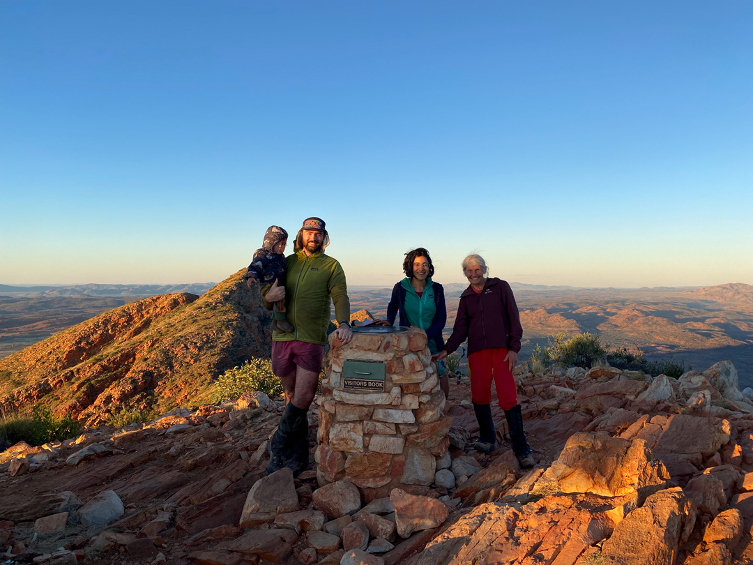
I have often stared at Walford Peak and wanted to climb it. Last year I organised to do so, but problems cropped up at the last minute.  And for some reason, Marble Bluff seems to have bad street cred (it is rather a scrubby beast), so it has also been on the to do list, but to no avail. I looked down on it from the summit of Eldon Peak in 2018 and very much wanted to see its view, but was told it was very hard to reach. Well, it wasn’t a piece of cake, but neither was it overly taxing. Let the actual adventure begin ….
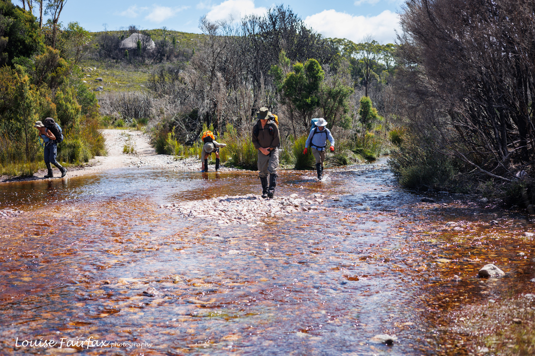
Spicer Track crossing Anthony R, a bit over an hour into the trip.

Here we were, all keen for time in the wilderness and these two mountains in particular. It was to be a five-day trip, as we were also going to explore the Sticht Range. I knew I was running-fit, but last week in the Jubilee Ranges made me question whether I was also pack-carrying fit. That ingredient was gong to be rather essential on this expedition. I set out with uncertainty.
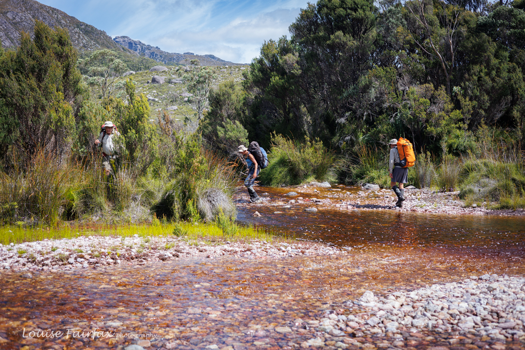
Lake Spicer Track over Anthony R

The plan for day 1 (begun after lunch because of driving time) was to walk along Lake Spicer Track until we arrived at just the right place to camp for the first night. The aim was not to go all the way to the lake itself, as we were expecting rather a hefty storm the next night, and the level of the lake might rise enough to turn tents into cute islands in the lake, if the strong winds didn’t blow them down first. We needed a sheltered spot that neither wind nor rain could mar.
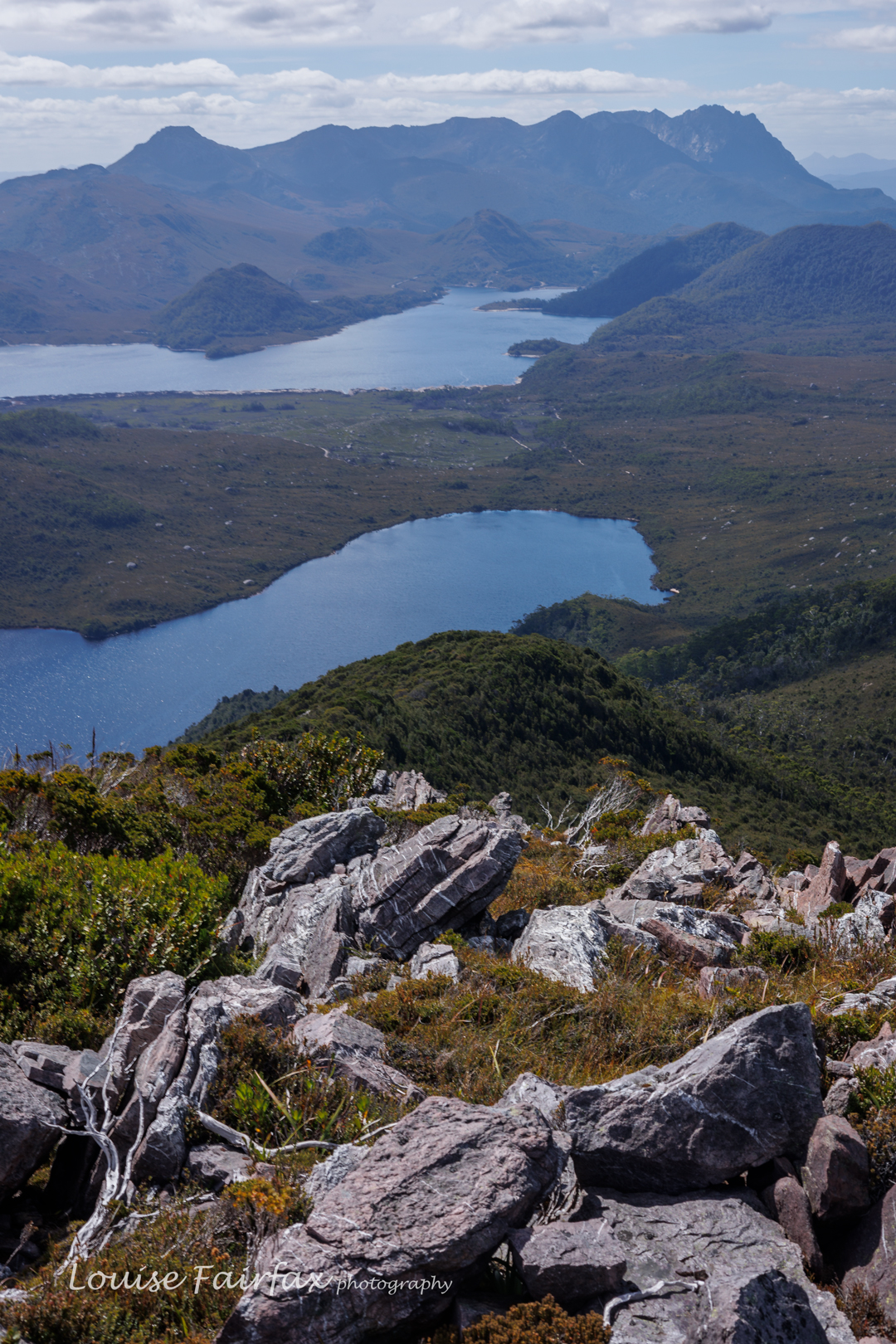
Walford Peak view to Mt Murchison, Lake Plimsoll and Lake Rolleston

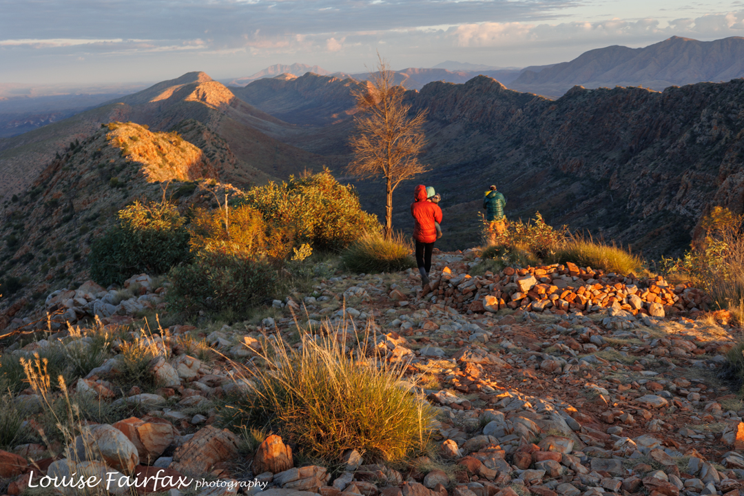
There was no sign right now of the storm to come. The sky was blue; the day was glorious. Crossing the many creeks and puddles was picturesque and enjoyable, and gave plenty of drinking opportunities. Thus, when we reached the high point on the track just below Walford Peak in just a tad over two hours’ walking time (on the agenda for a later day on the rebound), it was decided not to waste such beautiful weather, and climb it right now. I was thrilled. We dumped our packs and up we went. The bush was pretty thick, but it yielded to energetic shoves, and in a shade under forty minutes, we were at the top. Everything looked glorious from up there. The many lakes in our purview shone with sparkling blue iridescence; countless well-loved peaks towered above with clarity.
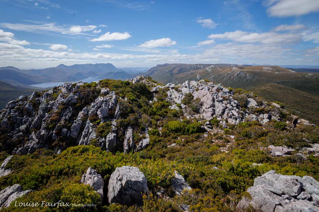
Walford Peak view to the Sticht Range (Right) and Lake Plimsoll and Mr Murchison (Left).

Back down on the track once more, descending to our eventual campsite was fun, as said track turned into a creek with cascades that were rather pretty. Soon enough we were beside Lake Dora, and agreed that a point on the road that was a bit of a knoll would be a great place to stop. We had been on the track for about three hours, and had also done eighty minutes without packs to climb Walford Peak, but for some reason that wasn’t quite enough for me, so I went and explored the track further after dinner, and climbed a small bluff for kicks. The view was excellent. Maybe my problem was that I had just eaten the worst dehydrated meal I can remember. The packet said it was vegetarian shepherd’s pie, but it was sickly sweet and made me feel very dissatisfied.
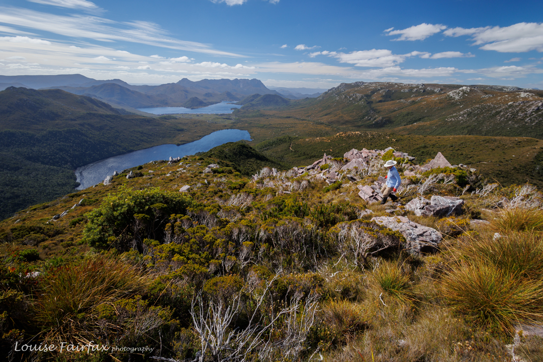
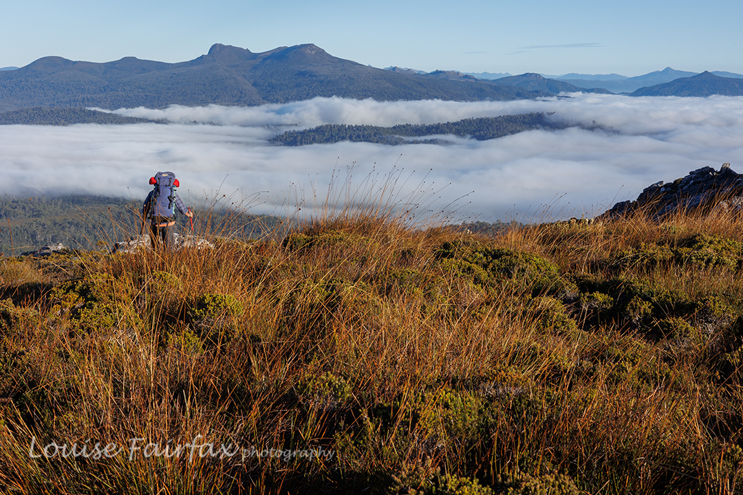
Descending back to the track. Lakes Rolleston and Plimsoll, and Mt Murchison behind.
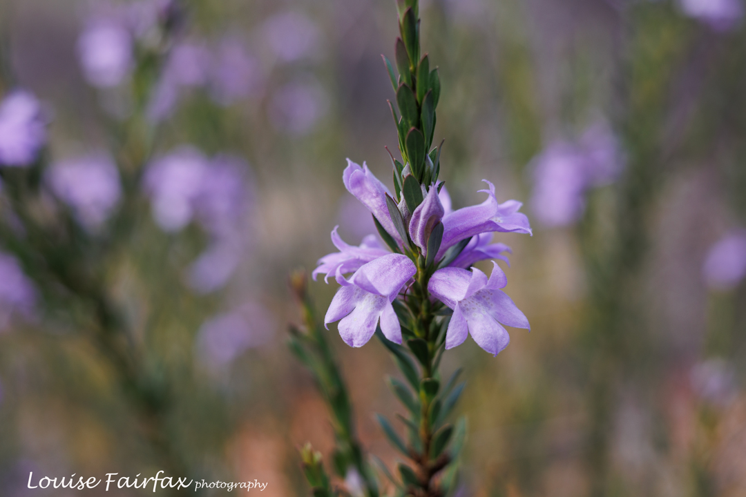
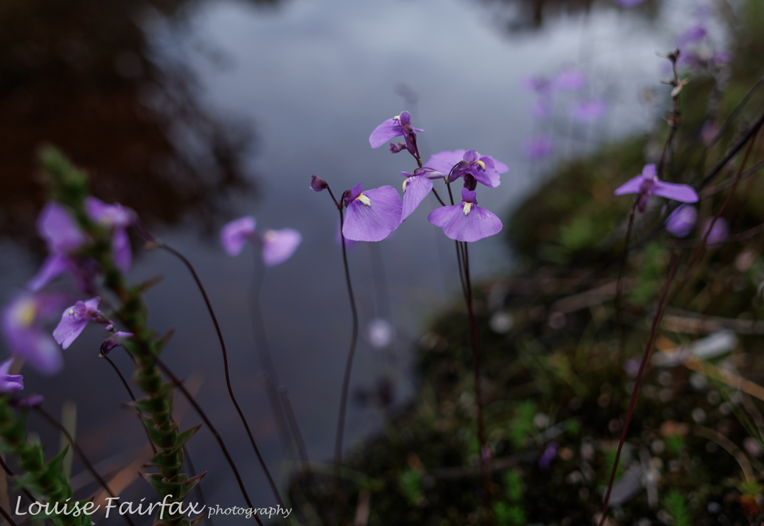
Ultricularia dichotoma near our tents.

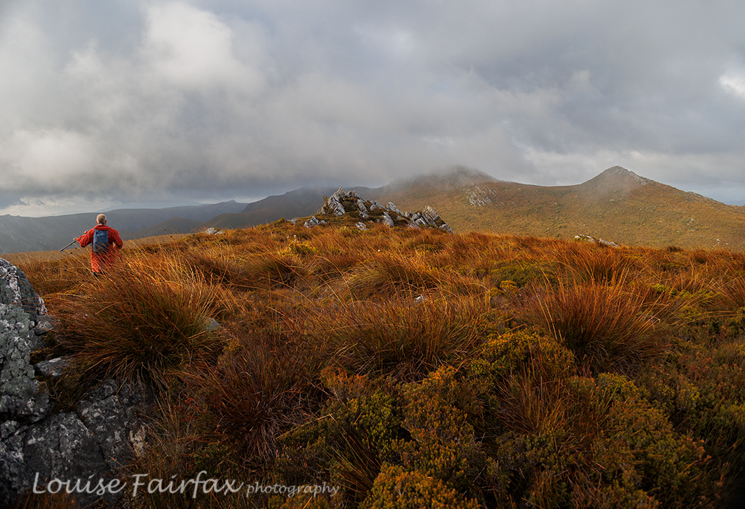
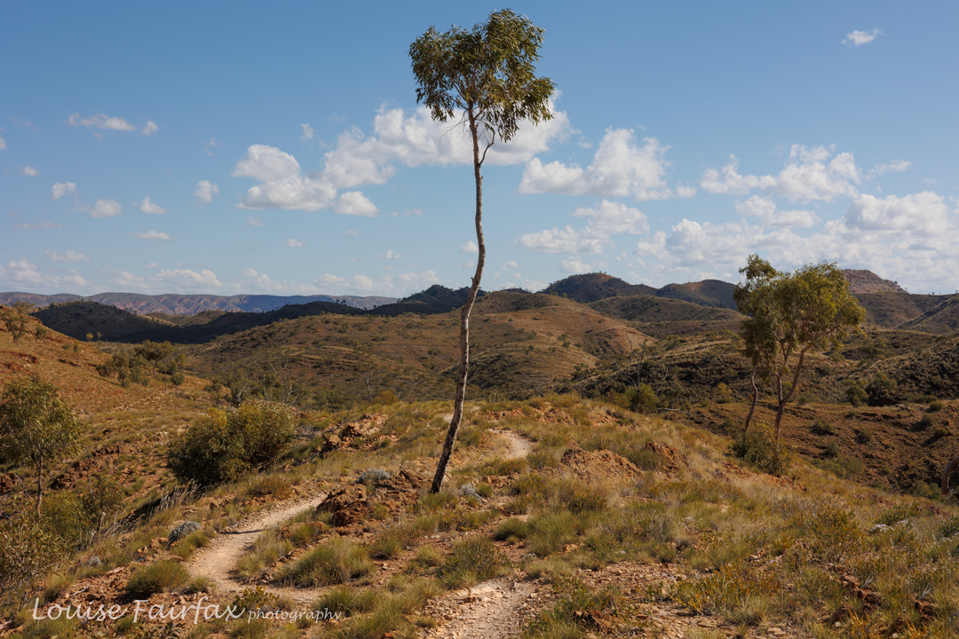
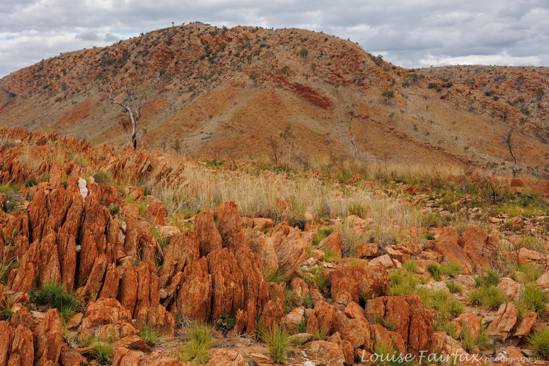
By the dawn of day two, you could tell that the weather was changing. The air had mood and attitude, and clouds were assembling. We finished off the Lake Spicer track quickly enough, and then began the somewhat long climb up onto Unconformity Ridge. That ascent contained probably the thickest scrub of the day. Once we reached the ridge itself, the terrain varied from patches of thick scrub to long areas of smaller bushes with button grass, both knee to waist high.  Only the very last bit was easy going. The actual moving time (ie, breaks not included) was around 3 hours 40 minutes total in each direction, from tent to summit and back (3 hrs 10 off-track). On top of that time, we had a few breaks so everyone could be comfortable, often eating, or just chatting and looking at the view.
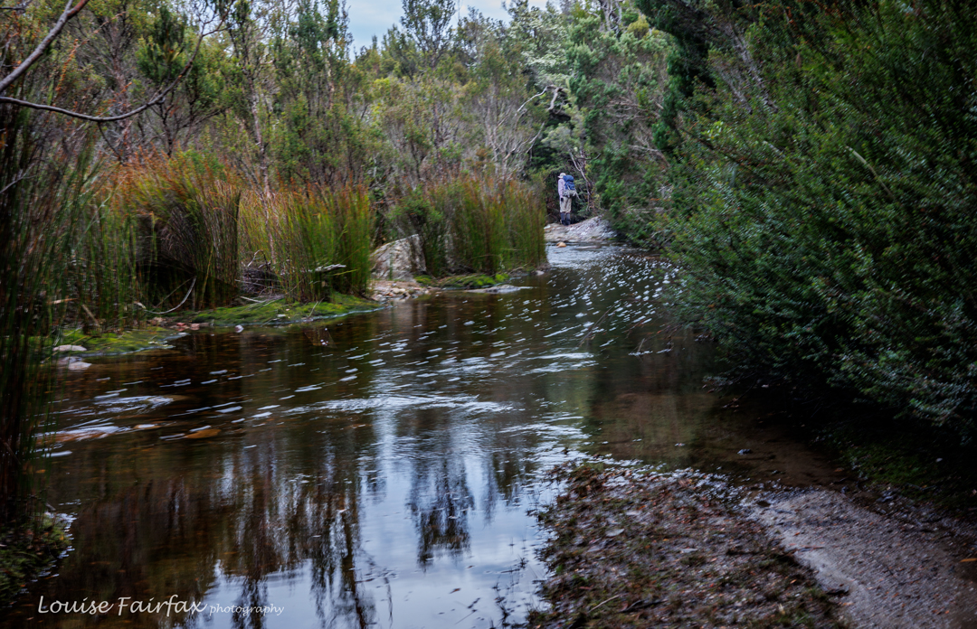
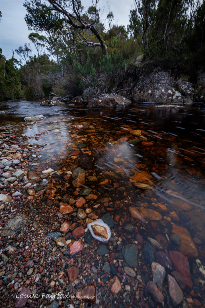
Lake Spicer Track. Yes, this water is the track.
Another watery view of Lake Spicer Track

Luckily, we got to inhabit the summit area without rain, but the wind was so strong that hats went flying, and we all huddled for shelter on the leeward side of rocks to have our lunch. The view was disappointingly hazy, not just from approaching bad weather, but also from fires in the Central Highlands. I didn’t take many photos.
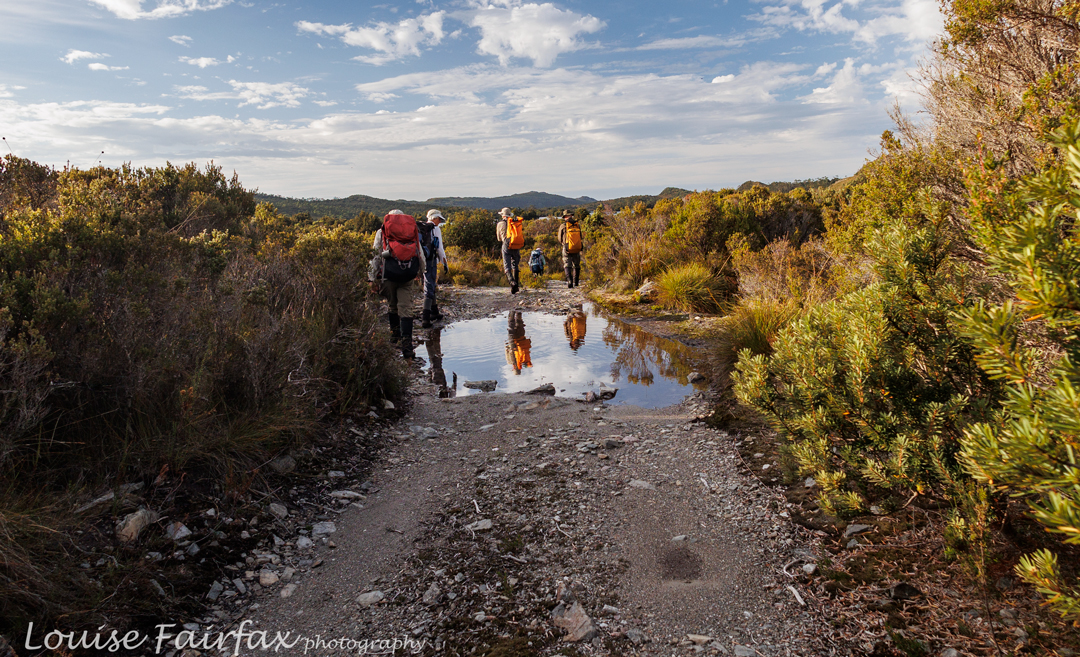
We reach Lake Spicer. From here on, it’s all bushbashing

Half an hour after summitting, we were off on the descent, trying, but failing, to beat the oncoming rain. By the time we hit the track, it was raining properly. I was pretty wet on arrival back at the tent. We tried to dry wet garments in the breeze while we had dinner, but things remained quite damp, although no longer dripping.
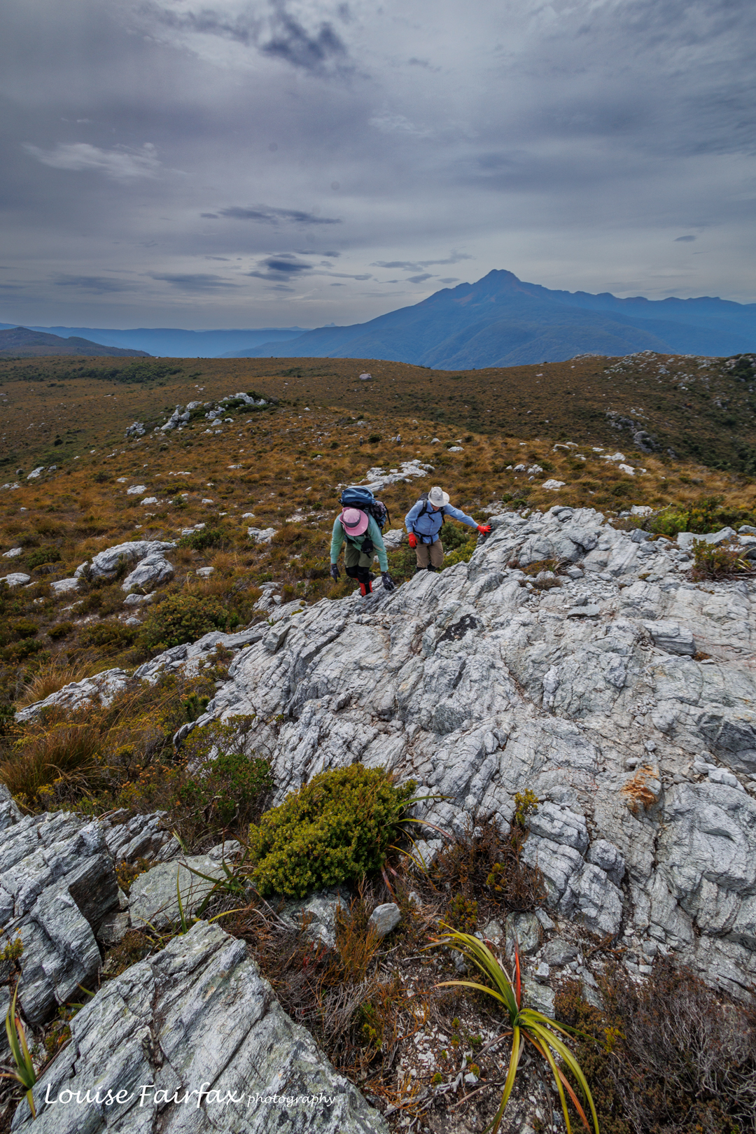
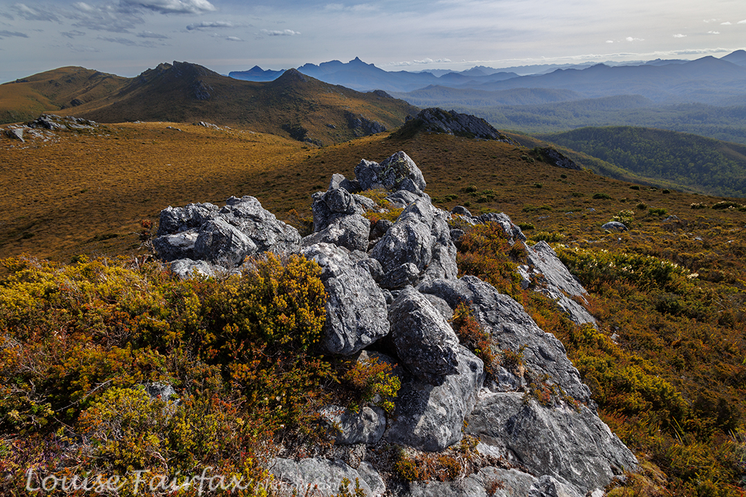
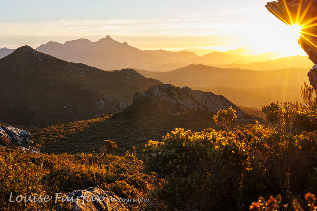
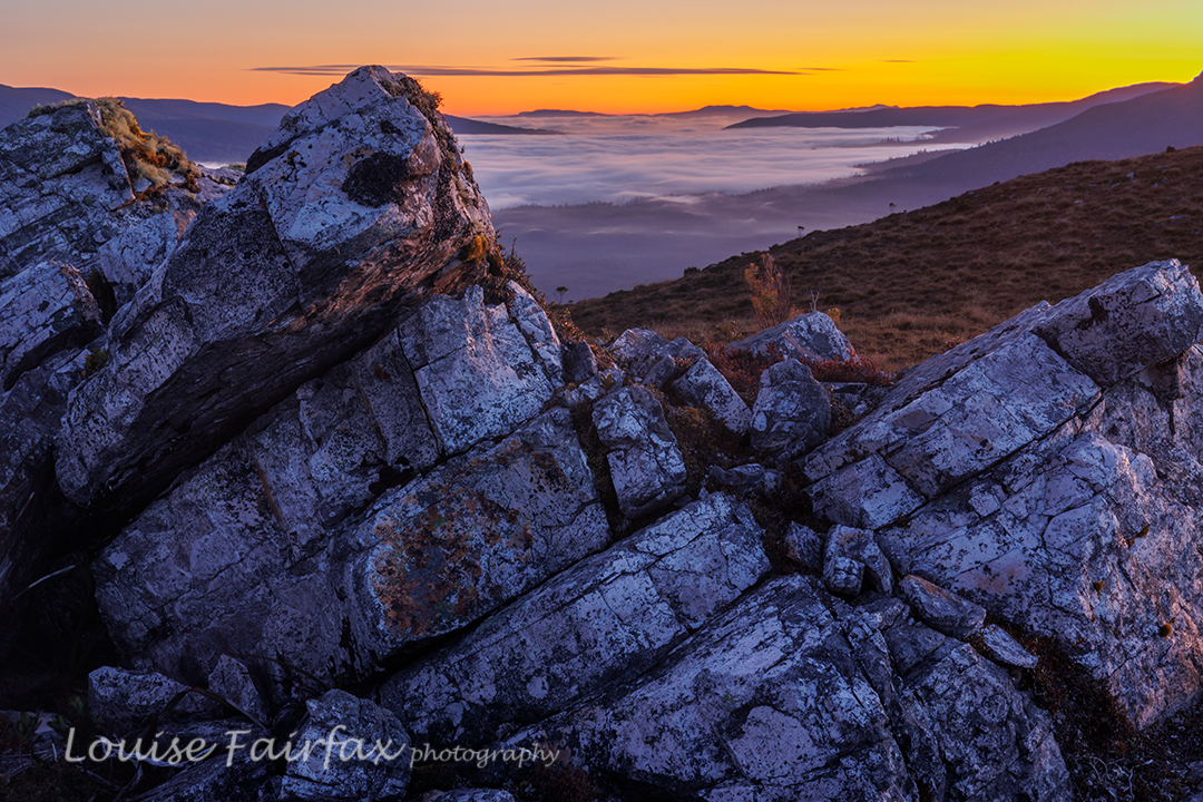
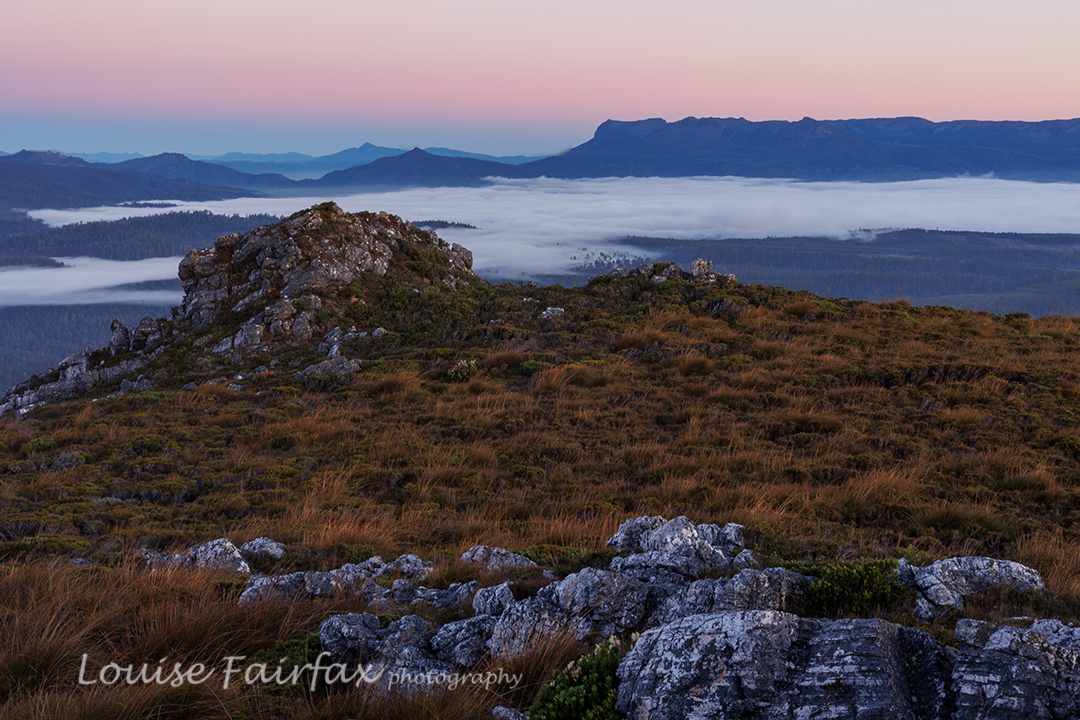
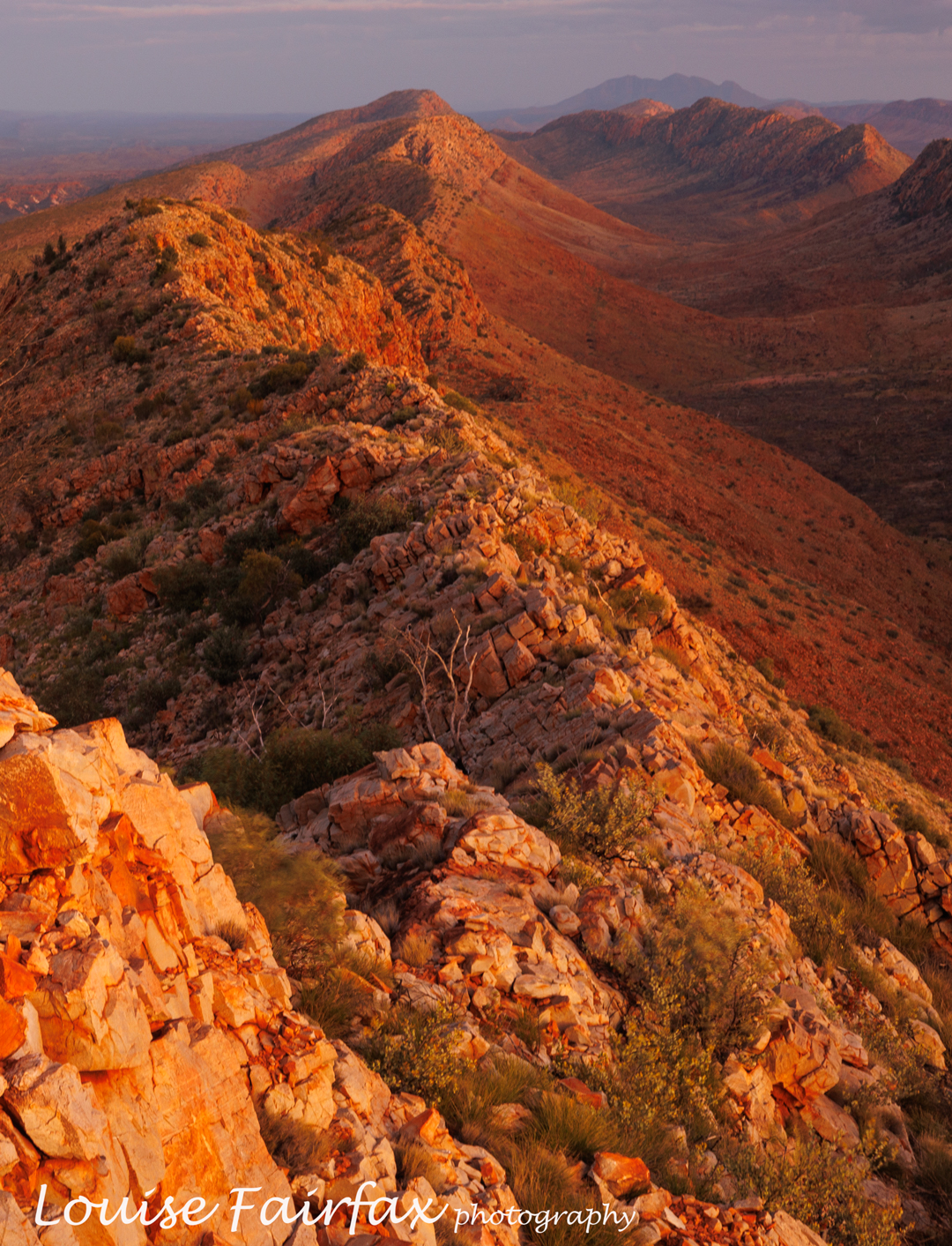
Marble Bluff view to the north. Eldon Peak towers behind

That night, as I lay in bed, I enjoyed the sound of very angry wind howling above me, often lifting me off the ground as if I were on a magic carpet. It was rather fun. However, a toothache that had been brewing over the preceding days was particularly painful, so I didn’t get much sleep.
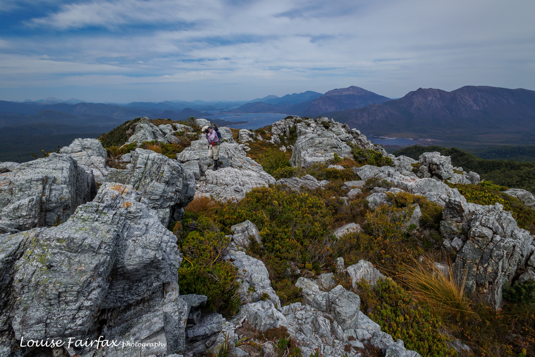
Marble Bluff view to the to south: Lake Burbury, Mts Lyell, Owen, Huxley and Jukes

On day three, the rain had settled in. I decided I needed to attend to my tooth as soon as possible, so bailed out of the rest of the agenda, and dashed back to the car. I made it in under three hours, not bothering with any breaks seeing’s I was alone, and find no particular pleasure in sitting in the rain to rest. I drove to where I had reception, made an appointment to see my dentist and bought the strongest pain killers I was allowed (I don’t usually use such things).  Right now, it is the middle of the night, but my pain is so great I can’t sleep. I sure made the right decision to come home. The Sticht Range, object of today’s agenda, will just have to wait for another day. My gear was saturated when I reached the car, but I arrived home to a desperately dry Launceston.
Next day (today as I write) I had to have my wisdom tooth extracted. Leaving early was more than a good idea!
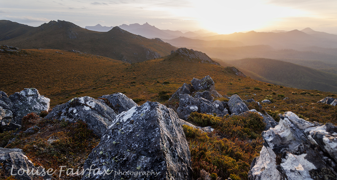
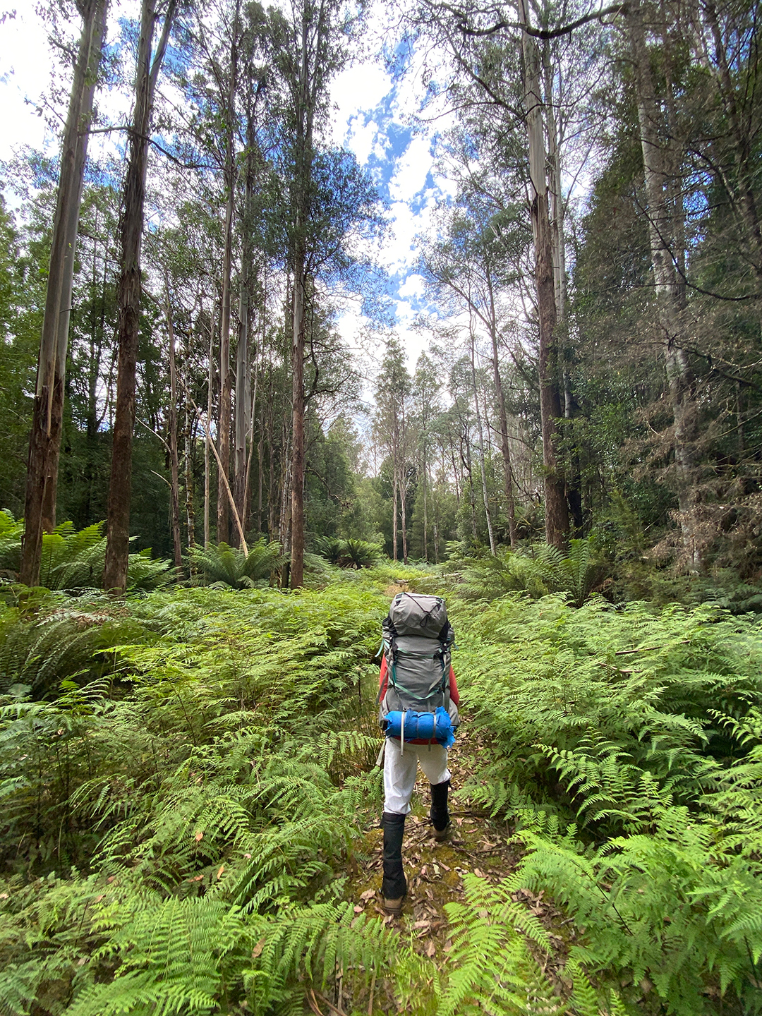
Jubilee Range 2024 Feb

Over ten years ago, I said in my blog that I would like to return to the Jubilee Range, not only to reach the actual high point, but also, and far more importantly, to sleep up there. For me, sleeping on high and witnessing dawn and dusk are the essential elements of a satisfying wilderness experience. A single day pop-in doesn’t have nearly the same effect on me.

The road walk in : 3.5 kms. Photo cred: Adrian Bol. (White pants did not stay white).

Luckily for me, one of my waterfall hunting friends, Adrian,  had decided he wanted to check out some falls way at the far end of the range, between it and Nevada Peak. He planned a trip with four of us eager beavers in mind, but two dropped out. I feared our speed difference would make the trip boring for him, but he disagreed and encouraged me to continue, so off we set. Thanks mate. He knew I needed the restorative powers of the wilderness to soothe my soul a bit. Nothing like pushing your way through dense melaleuca and bauera, piercing your skin with cutting grass, and goose-stepping over high button grass to soothe the soul. The steep climb in debilitating heat no doubt also contributed to distracting me from the state of my soul. I drank 5 litres of water on day one!!! Pity all the creeks were dry!
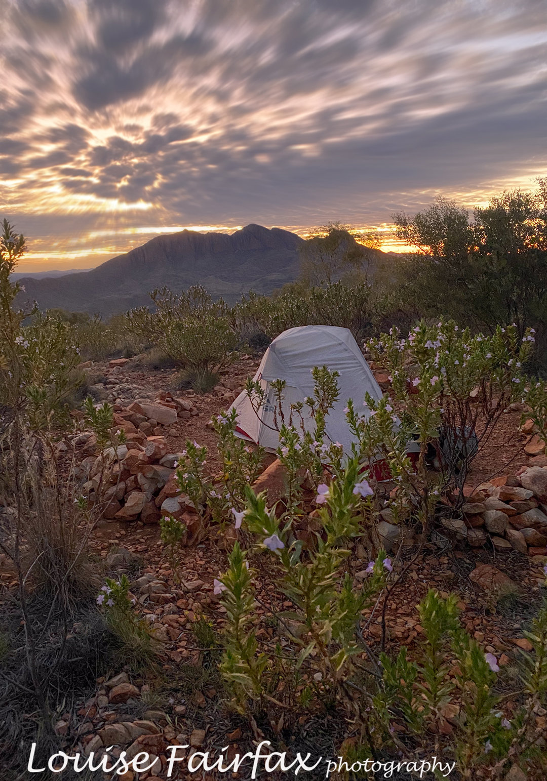
Jubilee Range campsite.

Our cause was not helped by the fact that the road is now impossible and impassable beyond the Styx crossing. We had to walk 3.5 kms to get to the actual start, which added over an hour in each direction.

Jubilee Range Adrian’s tent

Luckily, we kind of had enough water to make it to Mt Jubilee. Progress was very slow, and every time we stopped, I needed another 500 mls – far more than on the Larapinta trail, where I drank 250 mls/hr. After one hour, first break, we had covered a mere single kilometre. This dd not bode well for our overall plans. We could only do whatever it was we could do. On we pressed. Up through the thick, resisting muck. More water disappeared from our bottles.

Jubilee Range day 2 begins.

I started to worry about the future of this trip. We had already consumed so much water that we didn’t even have enough for dinner. If we didn’t find water by the summit of Mt Jubilee, I decided, we would need to turn back. Our whole trip depended on finding a source of water somewhere up high, but as all creeks had been dry, the prospects did not look good.

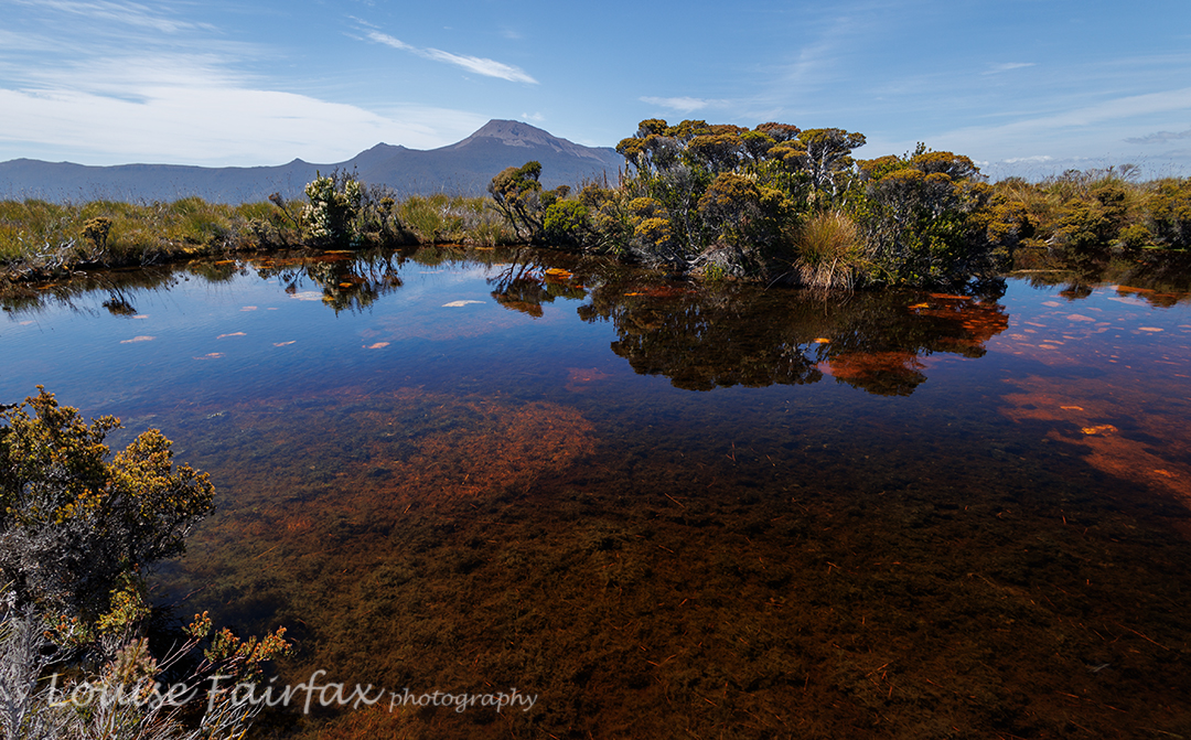
Jubilee Range: tarn below “Lunch Bluff” on “Endless Tarn Ridge”.

The slope looked like it was at  last levelling out. Our climbing trials were nearly over. We were going to crest the slope near a rocky, bluffy sort of arrangement, with Mt Jubilee itself just slightly to our left, only a couple of minutes away. I dumped my pack unceremoniously on the ground and looked to my left as I turfed it. Unbelievably, hidden behind the deep green of knee-high bushes was a tiny, tannin coloured, yet pure and clean, tarn. Our trip was saved. Yahooooo. Adrian dumped his pack, and we drank, and drank and drank. I needed more, so added two more protein drinks to the couple of litres I’d just gulped. Off we set on the 5-min ‘trip’ to Mt Jubilee. On top it was nice, but I was still thirsty, so had to return to the tarn for more water and two “post workout smoothies”.

Jubilee Range day 2. The Pool sort of near Lunch Bluff. Nevada Peak behind.

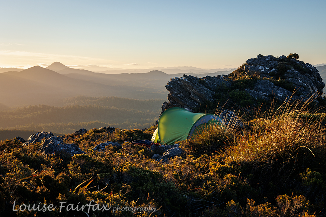
It was only mid-afternoon by the time we had explored our first summit and drunk to our hearts’ content, but I was finished for the day. It had taken five walking hours from the car to where we were, and I have not done any pack carrying or bush bashing for many months. The plan had been to sleep near the actual high point of the range, but Adrian kindly agreed to sleep where we were. By this stage, I needed a cup of soup. I really was a hard case this day. Adrian had a cup of tea, and we spent the rest of the time between then and sunset climbing knobs and bobs nearby, of which there were plenty, eating more, and setting up our tents. I was so exhausted, and so out of practice, it seemed to take forever just to get my tent up. Sunset was pretty OK, but not exactly what we’d ordered. That’s part of the beauty of nature: it is unpredictable, so you just never know what it will deliver.

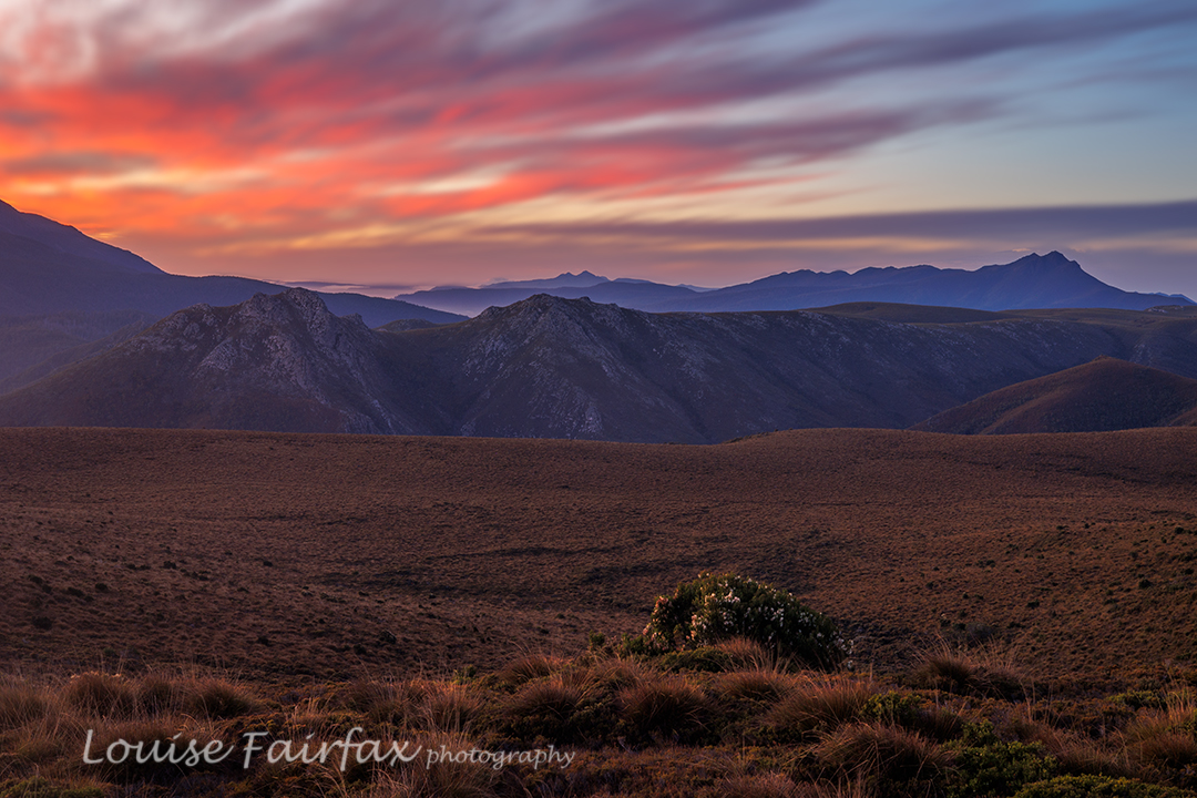
Jubilee Range sunset night 2. Mt Anne and friends behind.

The next morning, an inversion layer had been predicted in some weather app. The predictors were wrong. We awoke to heavy, blanketing mist. I had set my alarm for 5.45. I peeped out my window, groaned and rolled over in my bag. Every time I checked, there was no improvement. Near 7, I checked on Adrian’s tent. We decided we would keep our tents where they were and just do a day walk. There was no point in lugging them higher in mist like this.

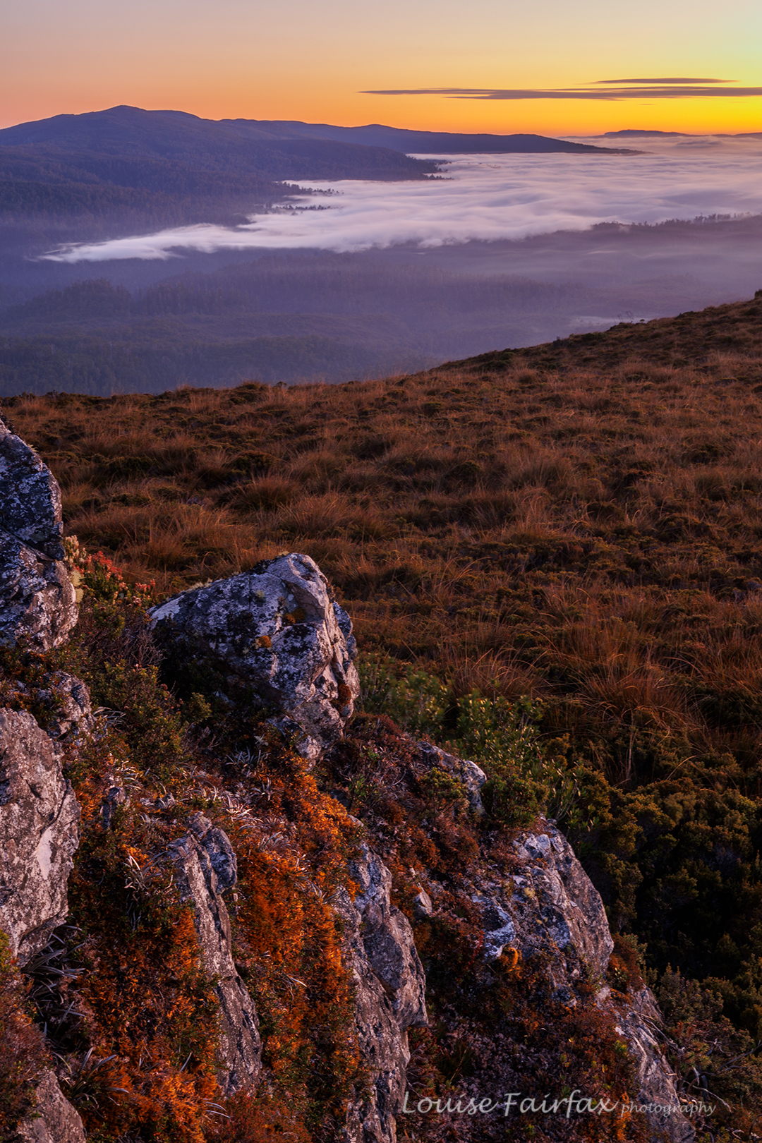
Jubilee Range dawn Day 3.

We walked for seven hours this day (plus stops), covering territory that we have never seen photographed or blogged (beyond the Jubilee Ra High Point). We explored “Endless Tarn Ridge”, “Neighbour Ridge” and Lunch Bluff, and photographed Special Tarn, Sibling Tarns, The Pool and more. There were far too many tarns to name; even far too many tarns to photograph them all, although we made a pretty fair attempt at that. By the end of seven hours’ exercise, I was glad to be returning to our tents. If nothing else, I was hungry for an early dinner.

Jubilee Range dawn day 3.

This night, sunset delivered, and the next morning, we got the inversion layer we’d wanted the day before, along with glorious colour. It was very well worth the early rise. Again, we climbed assorted knobs and bluffs for different vantage points, and shot happily until our fingers dropped off and the sun rose, and it was time for porridge.

Jubilee Range dawn day 3
Jubilee Range dawn day 3.

It was glorious walking with the mist lingering below us. The scrub was still very thick, but descending makes it a bit easier. There was one section where it took us 15 minutes to cover 80 metres (the final creek crossing – quite a bitch).
I normally hate roads, but the concrete pipe that marked the end of bashing and the start of the road was perceived by us at that moment as a thing of great beauty. We cheered and gave each other a high five, had a break (drink) and then took the road (mossy covered, fern filled and shady) as quickly as we could. We both had an urgent appointment with the Possum Shed for lunch.

Jubilee Range. The descent.

Orienteering Western Australia 2023

Well, this post is labelled Orienteering, as that was the actual reason for the travelling, and certainly our whole programme and timetable centred around the 7 races which were part of the event; however, to say we were only there in order to compete is a gross misrepresentation of what was happening.

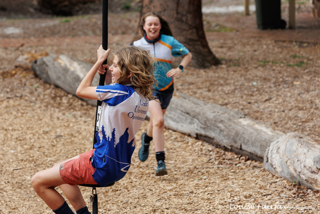
Flying fox fun, Mundaring Sculpture Park

Although I wanted to compete myself (I have neglected to mention that the event was the Australian Orienteering Championships – perhaps an indication of where our priorities lay), I was primarily there for Gussy: to help him gain valuable experience for the future – to help him see new maps and terrains, to have some of the routine actions of orienteering become automatic, to gain experience in running through the bush, to help him meet other like-minded juniors his age, and to help him learn what is an appropriate race pace.

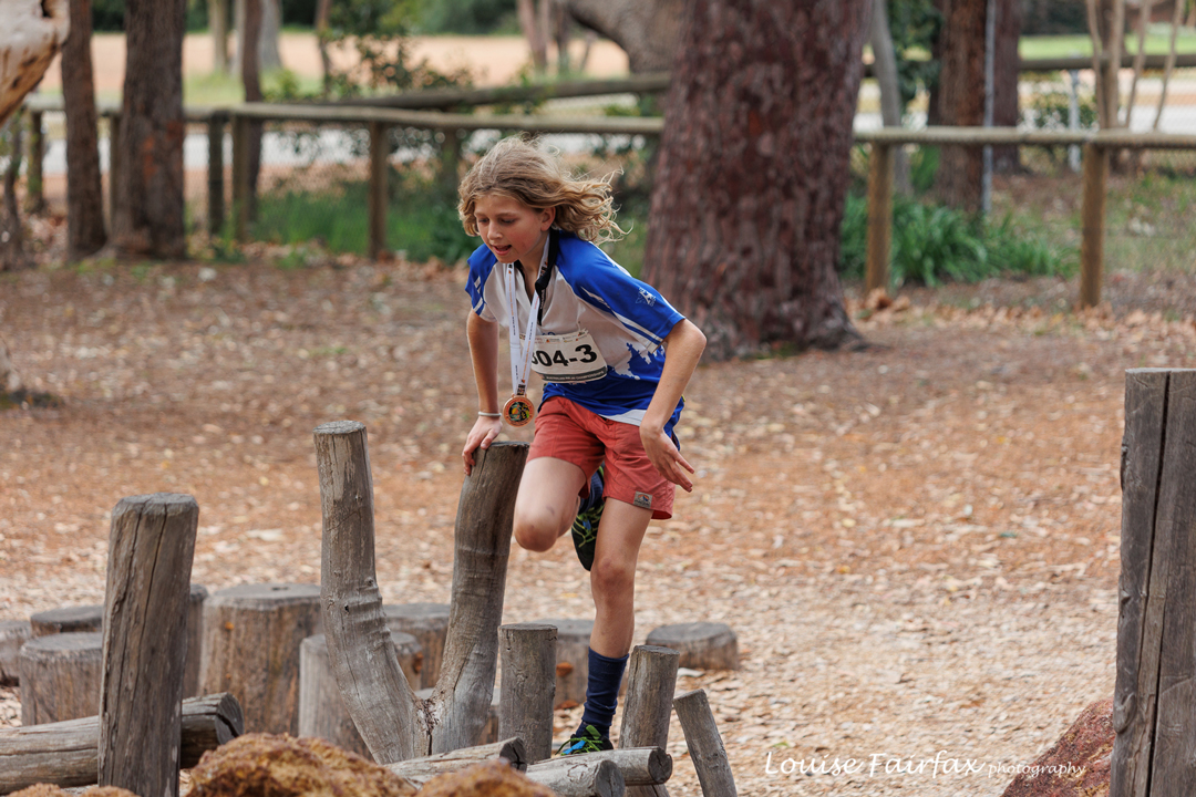
After the first race, the children roared around, playing with flying foxes and constructing an obstacle course, on which they did repeated time trials, trying to break their records.
Time trials

It’s hard for a kid who is good at cross country running to choose a pace that is appropriate to reading on the run. It takes experience and the making of errors to be able to know what constitutes an appropriate speed. It also takes experience to look away from the line to features on the map and in the landscape that will help with navigation. I felt that if he wants to be any good later, this was a very important age to be learning some of these lessons. Gus said he’d like that, so off we set.

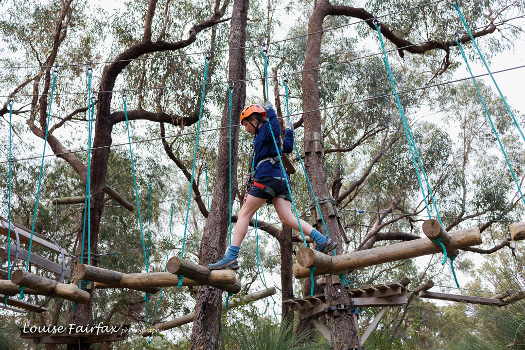
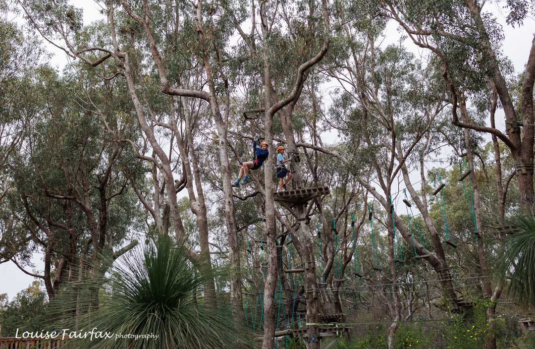
Tree top adventures after the first two races
Tree top adventures
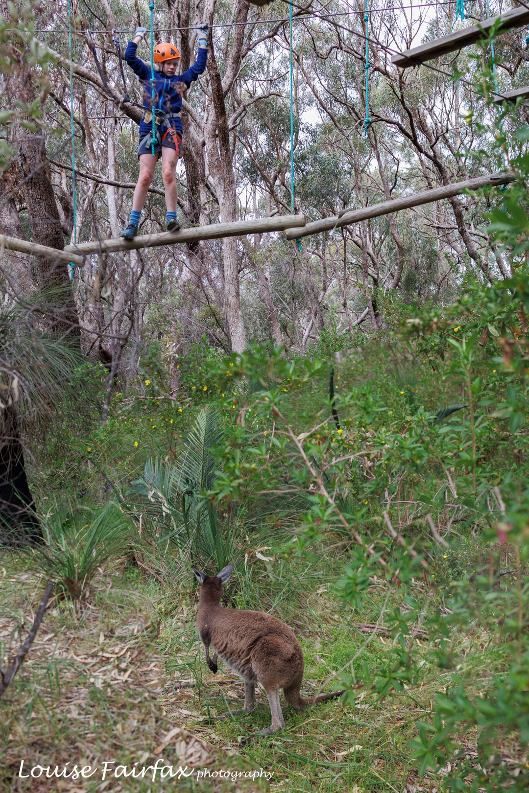
We loved the natural environment for our adventure. The wallaby was amused.

Meanwhile, luckily for both of us, my friend, Bonnie, wanted to be there to support her son, Isaac, who had just made his first Tasmanian team, but who was only in Grade 8, and Western Australia is a long way away. Much nicer for all if she and his siblings were there to share the experience.

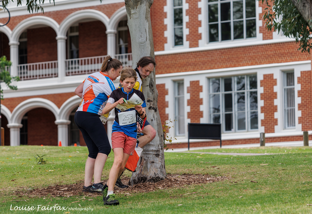
Sprint race. We dd throw in some competing amongst the other frivolities. Sprints are held on campuses rather than in the bush. The maps are technical!! This campus (Aquinas College) was magnificent.
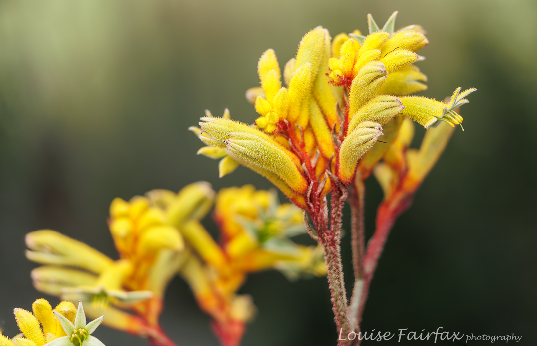
I believe this is Anigozanthos preissii … and hope my ID is correct.

All of that serious stuff does not mean we were just going to be race focused. Bonnie and I were both adamant that the young ones should enjoy the whole experience. I think our programme of enjoyment was possibly more energetic than the races: nearly every shot of the kids depicts a huge smile (inter alia), so I think we reached our target.

Actinodium cunninghamii Albany Daisy. Kings Park
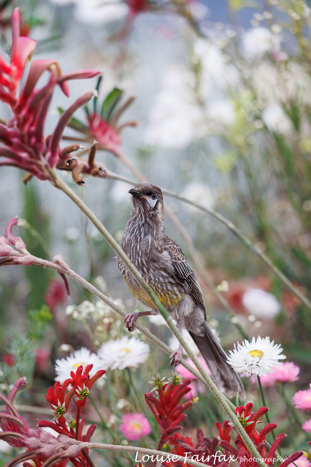
Wattle bird, Kings Park

So; what did we do apart from racing? We went to Yanchep, saw the WA coastline; spent a few fabulous hours in the trees, swinging safely from wires and negotiating obstacles; used the flying fox at Mundaring Sculpture Park ad infinitum; walked the Cockatoo Walk near Crystal caves; explored (ig)Noble Falls; visited the wildflowers in Kings Park twice, and, not on the agenda as we didn’t know about it in advance, but spent many happy hours entertaining and being entertained by the puppy, Ruby, “child” of the owners of the Wooroloo. farm on which we stayed.

Shell Boat races, Rottnest Island
Cycling Rottnest
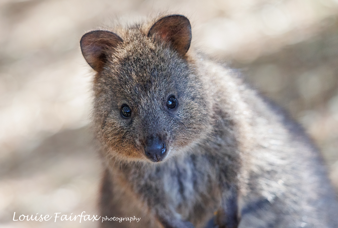
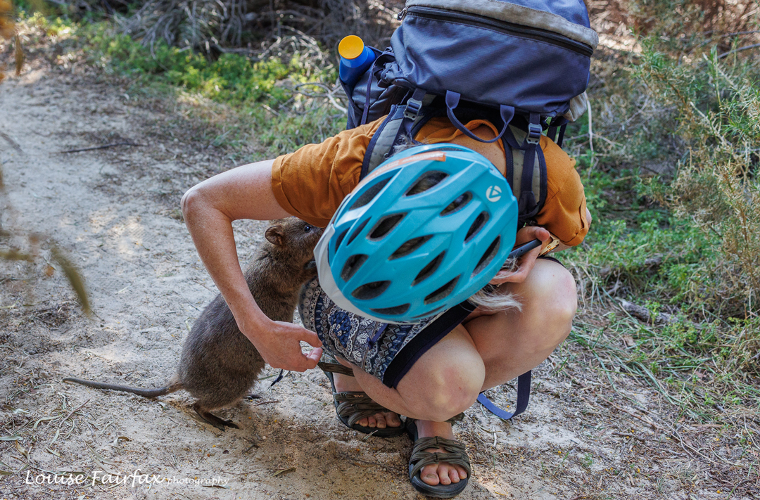
Please don’t touch the quokas … but they touched US.

In addition, another unpredicted and last-minute decision, but one that I really enjoyed, we swam along with many of the teams at Lake Lechenaultia after a very hot, long race, in which the kids enjoyed trying to tip the pontoon and throwing each other and coaches off into the water, whilst others of us swam and chatted at a safe distance from these frivolities.

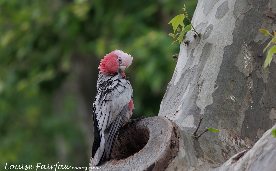
Galah in the grounds of Christ Church Grammar for the final day’s sprint competition.
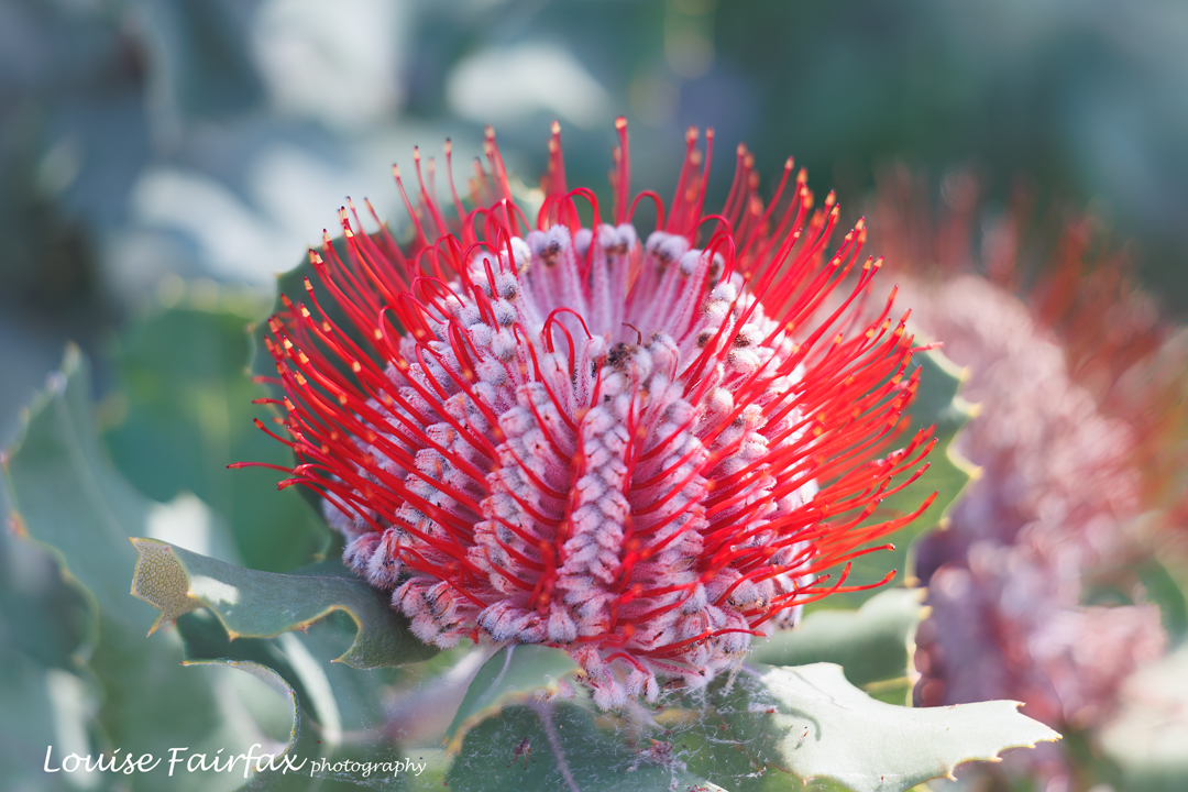
Banksia coccinea
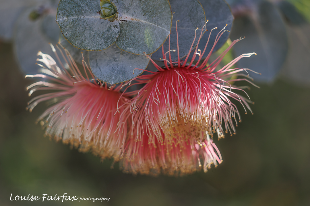
Eucalyptus rhodantha

And last, but certainly not least, our day on Rottnest Island was a huge highlight for all: cycling, swimming and seeing darling quokas.
And somewhere in there, we did go orienteering – even successfully.

I am now home, and have edited my 950 photos and reduced the number brutally, I have had time to reflect further on the trip, and, as well as all the above, and the fun of navigating through strange terrain and seeing parts of Australia that are normally both unknown and inaccessible, I know that I also enormously enjoyed catching up with old friends, and sitting driving for over an hour most days with Bonnie and the kids through Western Australian farmland, just enjoying all the differences in the terrain, and the unfamiliar warmth at this time of the year.

Larapinta Trail 4 Days 15-19 2023

Larapinta Day 15. Hermits Hideaway to Ormiston Gorge.
I can’t believe it: this is kind of the business end of the trip; the last hoorah before the end that I don’t actually want to happen. From now on, feel free to read into my account a taint of early nostalgia, for already I was feeling the end and emotionally striving to push it backwards. I could just walk this track forever.

Dawn Hermits Hideaway

First stop in the end game: the famous Ormiston Gorge, famous for a very good reason, but to be enjoyed by us for a mere 24 hours. Next time I will schedule a rest day here to allow further exploring. The walk there was beautiful, but I was happy to arrive. The last bit on the sand was hard work, and, well, I was just ready to arrive.

Dawn. Sigh. (Panorama stitch)

My clothes were saturated with sweat as I entered the cafe to order my panini for lunch. (This is the second of two places where one can purchase real food along the 230km trail.) Real food again was most welcome. I downed two bottles of OJ without batting an eyelid. It seems I had missed that too. The guy at the cafe leant me a plug so I could use their electricity to charge phone and camera battery. Unfortunately it was very slow, so not too much charging got done.
The campsite itself was a huge disappointment, being a long way from a source of power so I couldn’t guard my equipment while I charged. It seemed too open, and quite crowded. I didn’t spend much time in its ghetto.

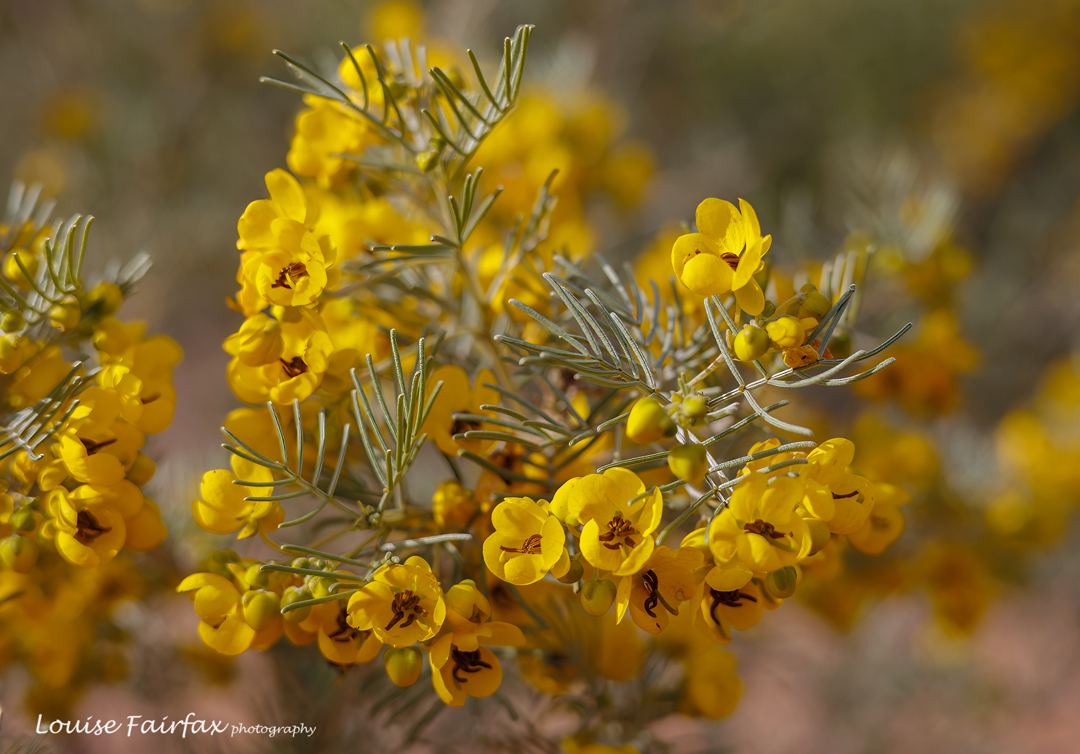
Lots of Silver Cassia, Senna artemisioides, which smells beautiful, around the campsite
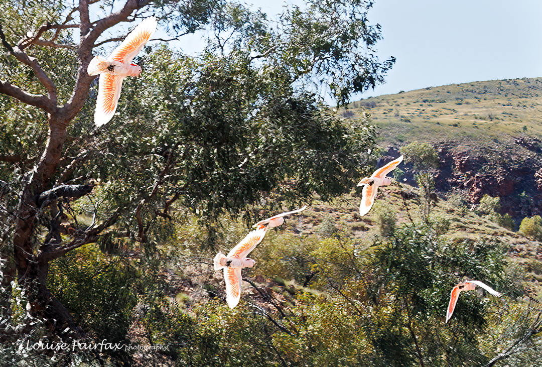
Major Mitchell’s cockatoos flew by. I can’t believe I was quick enough to catch them.

As with Standley, I spent most of the arrival afternoon washing self, hair and clothes and trying to power things up and sort through my new food. I didn’t visit the gorge itself until after dark, when, as with Standley, I actually enjoyed having it all to myself. You can feel a place’s soul that way.

Day 16. Ormiston Gorge to Finke River
.
This was another short day, so we didn’t bother getting started until after lunch. But first, I had important photographic work to do. I set my alarm and got up in the dark, returning to the gorge to shoot the first light. My early shots were long exposures in total darkness.

Ormiston gorge

That done, I then took my breakfast, such as it was, to the top of the Ghost Gum walk for actual sunrise. We had added an extra day to our itinerary, and somehow I hadn’t catered for the extra day, so breakfast this day was only a muesli bar and an apple (from the food drop). I knew I could get coffee and scones from the cafe later to compensate, so this seemed a good day to skip my normal porridge that I am so dependent on.
Be scones as they may, when Kate and Dan arrived with real bread, avocado and green leaves for us, I dived in, shamefully, uncontrollably greedily. I realised I was absolutely starving for this kind of food and just couldn’t stop. I fear I have now earned a reputation as a glutton.

Ormiston gorge

We chatted to them, and also to some new friends made at the cafe whose conversation I really enjoyed, and then it was afternoon and time to move on to Finke River. In the cupboard at Ormiston, I had found another item I was really missing: a book. It was John Bryson’s Evil Angels, telling the horrific tale of a society and a legal system gone mad in the case of Lindy Chamberlain. His narrative style was excellent and I wanted to pursue his theme. I read a bit and popped the book in our box to be collected later. This is a truly frightening book about, amongst other things, the media’s power to completely damage another person’s life by its own prejudices. Even back when the trial was occurring, and I was only young, I had the distinct reaction that the media hated the Chamberlains because they hated their religion and not because they were actually guilty. The extent to which prejudice and unfairness governed that trial was truly alarming in its detailed account thanks to Bryson. I see he has won many awards for this work, all justified. That level of legal incompetence and prejudice needs to be exposed. To be innocent but pronounced guilty must be one of the most horrific things that can happen to someone.

Heading for Finke River

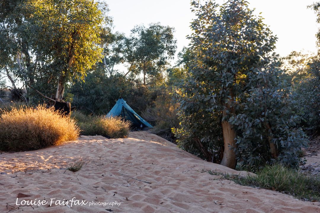
Book in box, unfinished of course, off I set for Finke River. This was another amazingly beautiful campsite. I had trouble selecting the perfect spot: I wanted a tree nearby to anchor my tent to, and wanted to be low enough to avoid mice but high enough to find said tree. I ended up parking near Tom and Hayden, with whom I later shared a fun conversation about conservation as gloaming turned into night. No mice came.

Finke River camping

Day 17. Finke River to Hilltop Lookout.
Despite wanting my normal early start, Finke River was so pleasant I hardly seemed to be in a rush for departure, and was only rescued by Alex and Nitya from being last to leave of the people travelling in our direction.
This was to be another short day, but, having left late, there were several other people on top when I arrived. Many of these, it turned out, were just going to have lunch up there and then amble on down to where there was water, at the next official camp spot. I searched for quite a while choosing the best spot, firstly for Alex and Nitya with their big tent, and then for myself, seeking a smaller room with a view. Happy with both choices, I then joined the others while they ate. As we chatted, I looked up and saw a crow flying by with a packet hanging from its mouth, which I immediately recognised was MY packet of gluten-free macadamia and white chocolate shortbreads, the next three days’ breakfast, in fact (apart from porridge and coffee). I yelled abuse, but he ignored me.

Hilltop camping

When I later found the packet that he’d dumped for me to carry out, I saw he had scoffed the lot. Greedy, selfish pig. I also found a now empty packet of freeze-dried strawberries, also mine. It seems that the crows had a good party that night.
It was a long wait for dusk, and there was little shade. I explored about the place, but was just marking time, waiting for the real point of the day. Apart from the promise of a view, Hilltop didn’t really do it for me, but maybe that was just the mood I was in. The social dynamic wasn’t working for me at present. The only photo of sunset I have saved is of my tent. Sunrise next day suited me better.

Day 18. Hilltop to Redbank Gorge, then up Mt Sonder for sunset
.
After another beautiful dawn, it was time to pack – our last real pack up. The next day we would merely be packing up to get in a car. It was with a heavy heart that I stuffed my gear yet again into my waiting pack and headed down for water. There was nothing to slow me down, so once I’d had a drink at the beautiful campsite on the bottom and refilled my bottles for the next stint, off I set for our final tent spot, Redbank Gorge.

Mt Sonder at dawn from Hilltop.

I must have pushed the pace a bit, as I arrived very hungry and thirsty, and was then feeling that post-prandial lethargy that sets in with satiation when Alex and Nitya arrived and said they wanted to climb Sonder for sunset rather than sunrise, as that would fit in with Adi’s needs better, and they felt they could do it. Fair enough.

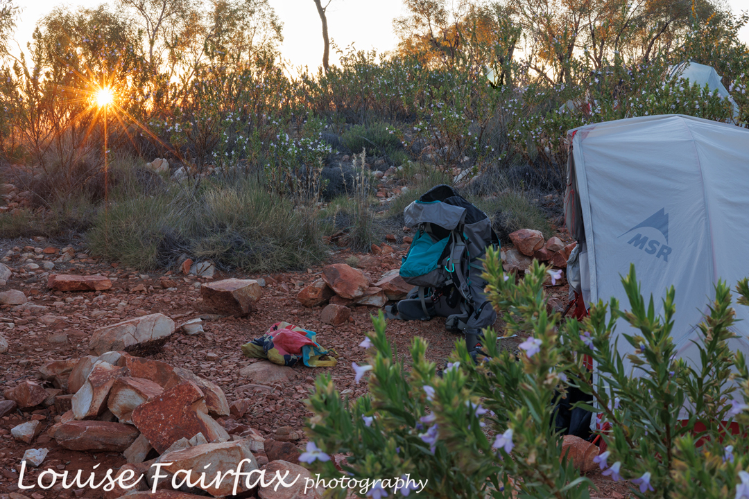
Tent life on Hilltop

But. Sunset is at dinner time. I quickly stuffed my face with more food, knowing I would get hungry on top, but wanting a proper cooked meal whenever dinner actually occurred, which would be quite late. I wanted to do this last hoorah all together: to end as we had begun, so hurriedly prepared my daypack with warm clothes, water and camera for the top.

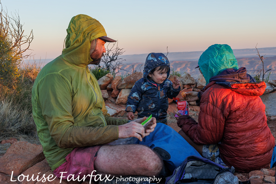
Makeshift dinner on the mountain, waiting for sunset.

Not long after departing, Adi wanted a yellow flower (his norm), so we stopped to get it for him. For some reason Alex and Nitya felt they were holding me up, which was not the case, but they said they’d be more comfortable if they didn’t feel bad each time Adi required a stop, so I agreed to meet them at the top. I was then a free bird with no rucksack weighing me down. Upwards I flew, released from my heavy cage and with no other matters to slow me down. I decided I might as well have a workout, so proceeded at a pace that was much faster than anything I had done in the last few weeks. I had had a message from my daughter that she had entered me in two orienteering races on the fast-approaching weekend. I wasn’t sure if a workout right now would be good preparation or the last straw to break this camel’s back. Who cares? I just felt like going at near lower threshold level, so did – not into puff, but hovering just below, singing as usual while I did so now that I was alone again.

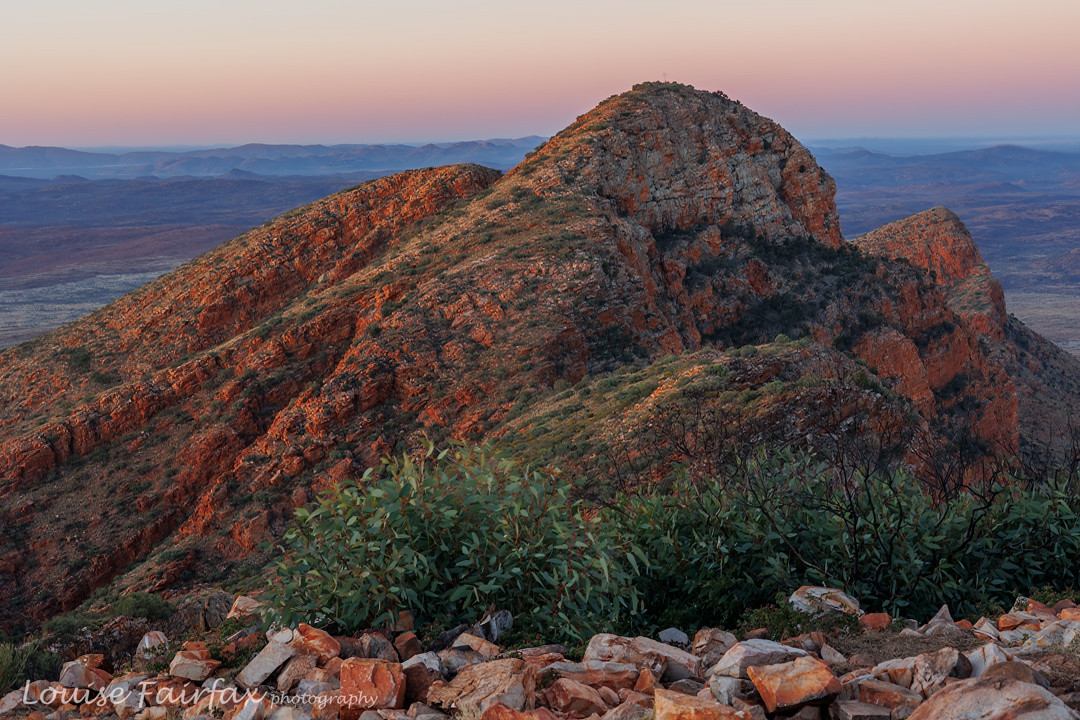
Sunset on Sonder

We were all on top by the time the sun set. I ate my muesli bar while the others ate more savoury stuff, and we had all the obligatory photos. It was bitter sweet. I don’t like endings, but was very glad to be there on Sonder. Those who went for sunrise next day reported busloads of tourists and little space or quiet on top. I am so glad Alex and Nitya had us going for sunset.
The trip down, in the dark, was slower than the trip up, which is quite normal for me. It was quite pleasant doing it by moonlight. I only turned on my torch for the last bit.

Happy foursome on Sonder. It is finished. What an amazing effort from my friends.

Day 19. Zero. Get in the car and go.
Well, not quite zero. In early light I went and explored Redbank Gorge, which was very beautiful, and then packing took the remaining time before we were collected.

Redbank Gorge

What a fabulous trip. It will always fill me with joy when I look back on it, and I hope I have many photos I like to prompt the large number of happy memories in my bank. Don’t fret: there are far, far more photos than you have seen in this blog. And meanwhile, I just can’t wait to go back and do it all again.

Larapinta Trail 3 Days 11-14 2023

Day 11. Ellery Creek North to Serpentine Gorge.
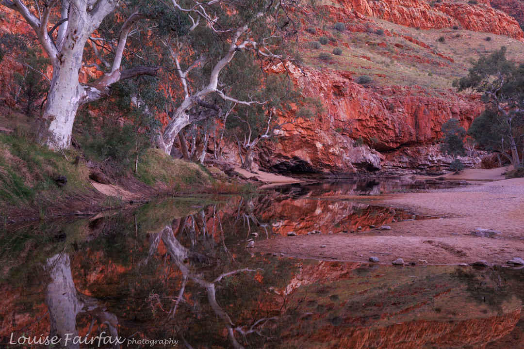
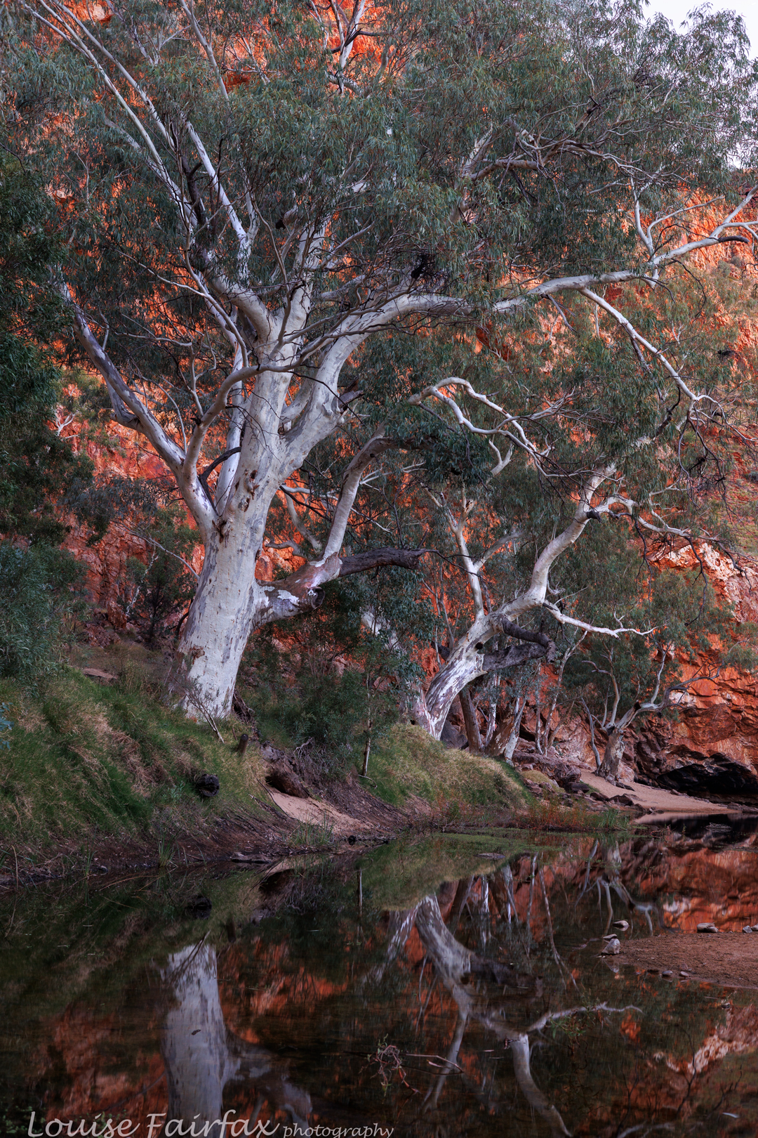
I was already wildly in love with Ellery Creek North before ever sunrise materialised, but emergence from night to day sure cemented this place in my mind as a slice of heaven on earth. I find the contrast of glowing orange rock and white Ghost Gums or River Reds (both were here at Ellery) to be tinglingly superb. As usual, I woke early, breakfasted in the dark, and then photographed to my heat’s content as day broke. There seemed endless possibilities for pleasing compositions.

Ellery Creek North. Can you find our tents?

Packing up was a bit slower on this day, as it was just too wonderful to leave Ellery in a hurry, and the schedule we were on only had a short day for this one: we merely had to get to Serpentine Gorge. By now, as you might imagine, Alex’s pack had a huge number of wet nappies inside. I have no idea how he managed. He was starting to get blisters from the effort. They looked shocking to me, but he shrugged them off. They were part of the trip for him. My raw hip bones had healed up once I switched to merino nickers, and my feet showed no sign of blistering, so all was going well on that front for me. My shoulders had only hurt on the flat sections. My clothes were filthy, but so were everybody else’s. so that’s the way it was.

Ellery Creek North

On this morning I spoke to two new people in a tent nearby and happened to mention the fact that my water bladder had developed a slow leak, so I had to carry extra water to compensate for the loss that would occur while I walked. They said (i) I could borrow their 10 litre bladder, as this was their last day on the trail, and (ii) it just so happened that they live around the corner from my daughter, so getting it back to them would be easy. These were not the first South Hobart people we had met on the trail. Thanks Jane and Matt!!

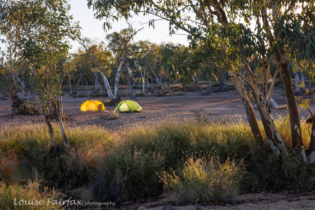
Ellery Creek North. Alex and Nitya’s tent. Now the sun has risen.

The trip to Serpentine Gorge was as lovely as every other part of the trail, with nothing special beyond that to mention. I arrived before lunch, chatted to the couple there already and then watched on as people emerged from the bush in both directions. I’d better nab a spot before they were all gone! I happened to camp next to a lovely girl, a librarian, Cat, and we two later sat on rocks and chatted our way through dinner time, enjoying the peace of the bush together. The shelter had become too crowded for my tastes by then.

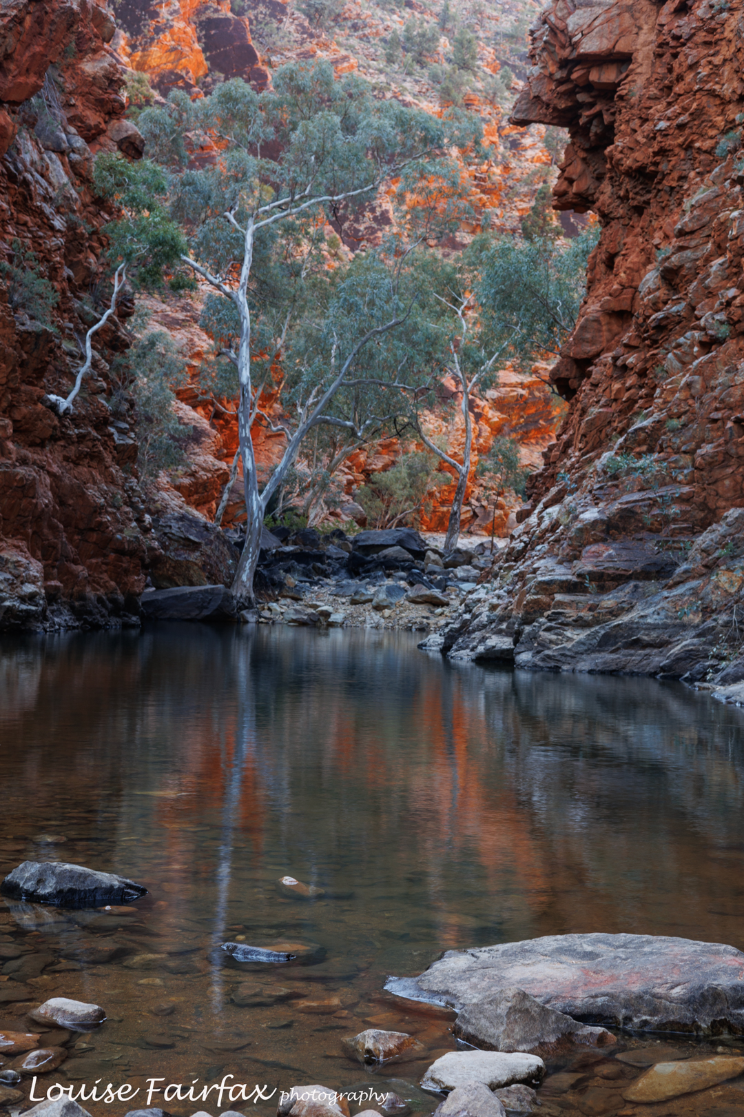
Serpentine Gorge

Somewhere in the afternoon I visited the actual gorge, and enjoyed being there. I loved the ones that were not crowded with busloads of tourists. I guess I am selfish, but I do enjoy having special places in solitude to soak in the atmosphere without jarring noise. I feel their mood much better that way; it becomes an experience of the soul.

Day 12. Serpentine Gorge to Counts Point.
Counts Point was one of the four places that I had really been looking forward to on this trip, and it did not disappoint. By now I was getting used to the ultra heavy pack that dry camps up a mountain necessitated, and took it in my stride, although, I did, of course, depart by 8.30 so as  not to have to walk in the big heat. Serpentine involved no dawn photography for me, so I allowed myself the luxury of breakfasting in the light. I’m sure the gorge looked wonderful at dawn, but sometimes it’s nice to just sit around like a normal person and have breaky looking at the scenery. Next time I can go there for dawn.

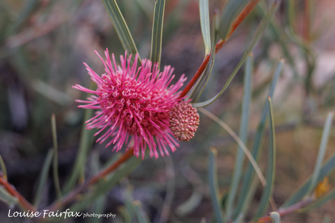
Mountain Hakea, or more properly, Hakea grammatophylla, graced us on every mountain top. Counts Point was no exception. As soon as one reached some critical height, there she was.

So, with my normal earlyish departure and fine enough pace I reached yet another campsite before lunch. I watched on with envy as one of those tour groups of packless walkers had a lunch of avocado and real salad. My stomach churned; my mouth salivated. I watched people throw away the excess into the bush, no doubt rationalising that act with the fact that it was biodegradable rubbish, but that act encourages mice, and we campers get to suffer. They were using the spot I wanted to pitch my tent in, so I waited for them to finish so I could move in. Some of them were very nice people, and we saw each other again at Ormiston and exchanged happy greetings.

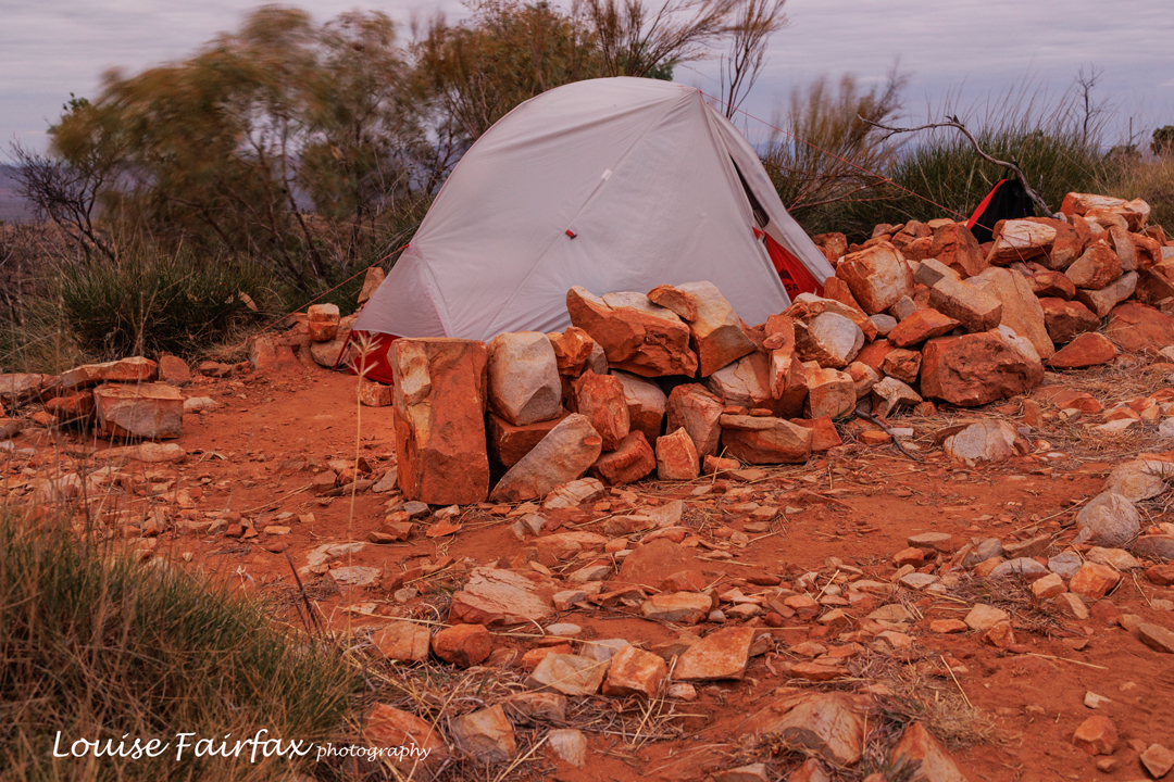
Counts Point. My tent. Can you see how the trees are blowing? It gets windy up high.

Later Nitya, Alex and Adi arrived, and we became occupied with exploration, tent pitching, and early dinner so we could shoot the sunset afterwards with no remaining tasks. We were being very lucky with the weather, and had lovely light each time we needed it so far.

Day 13. Counts Point to Inarlanga Pass to Pioneer Creek
.
This was a record-breaking day. Alex and Nitya were ready to leave before the tardy Louise. I was obviously really enjoying Counts Point! The day was another short one, and I knew we would connect at some point in the future. The day was already hot by the time I shouldered my pack. Grr.

Counts Point

Down I climbed, until I found a beautiful shady spot next to a really interesting seam of rock. The spot was framed with magical mulga (Acacia aneura), which is not only beautiful, but smells divine. I hadn’t gone nearly 4 kms, nor had I been underway an hour, but stopped anyway as it was so lovely I felt like enjoying it a bit. I was both thirsty and hungry, so, despite the early hour, ate a snack. This was going to be a long day!

Counts Point. Happy photographers and family.

Further along, I met two people. It just so happens that I have had email contact with these people but had never met them. Will and Emma are, like Alex, Nitya and I, Abelists (climbers of all 158 Tasmanian Abels). There are fewer than 30 such people in the whole world, but here we all were by accident in a tiny section of the Larapinta Trail! It was lovely to meet them, so, of course, we stood for a while chatting. It was nice for me to learn that Emma was as keen on photographing and IDing the desert flowers as I was. It was fun to encounter a fellow enthusiast: not everybody on the planet goes gaga over plants.

Above Inarlangau Pass. Fun rock formations.

I never did catch the fast-moving Alex and Nitya this day, but I knew they were up ahead somewhere and that I would find them at our camp spot, so just relaxed and enjoyed the wonderful Inarlanga Pass, and the truly amazing land beyond. This day I had time, inclination and the right conditions to photograph flowers, so lazed along doing just that. The problem is, when your pack is super heavy, it is a big effort to crouch down low to be at ground level for the flowers. They had to be pretty perfect to justify the effort.

Eremophila christopheri Mountain fuchsia is another plant that gave us pleasure on almost every mountain top.

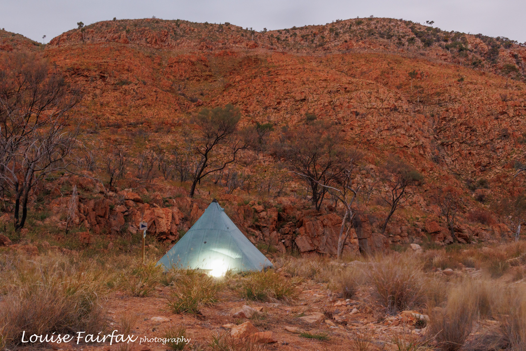
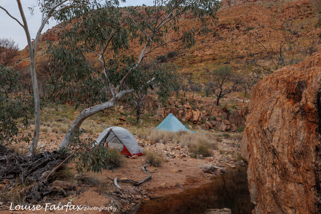
I made it before the gloaming but was pretty late – there was just enough time to choose a beautiful spot in the river bed and set up before dinner time arrived. It was a beautiful, peaceful spot, not normally used for camping. We purified the water, such as it was.

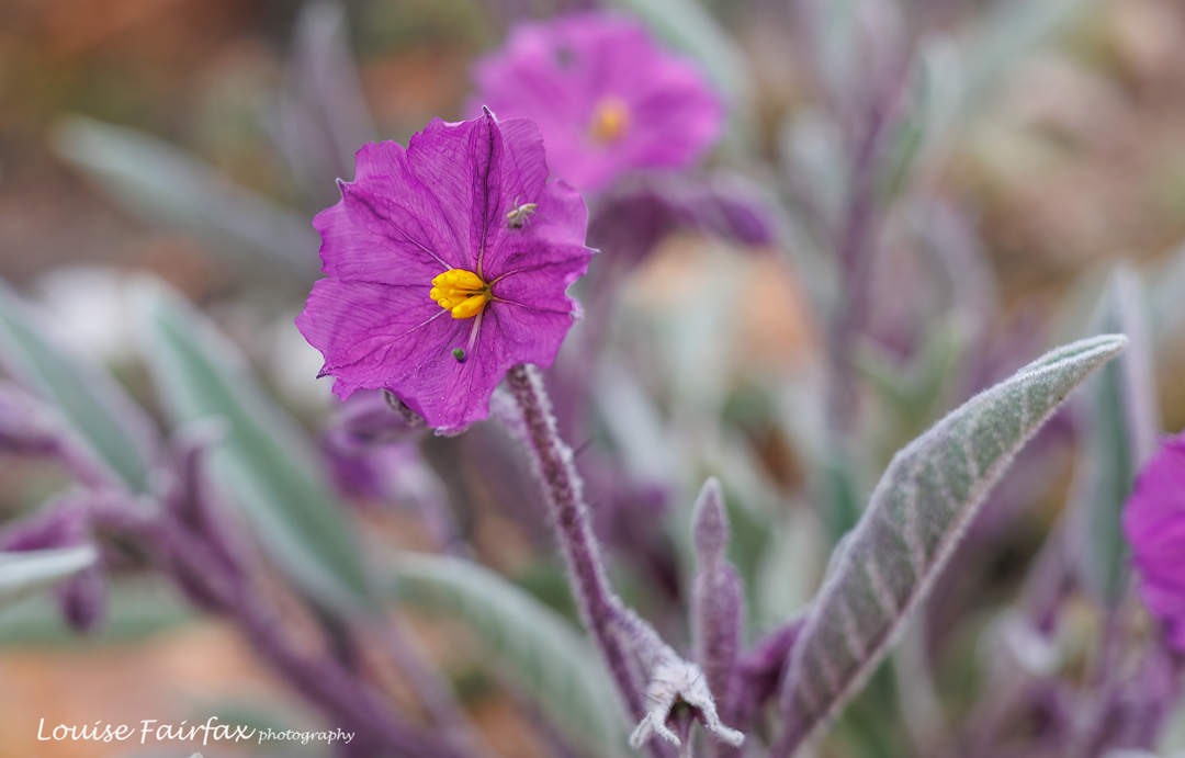
Solanum quadriloculatum; toxic, a member of the potato family despite its unhelpful common name.
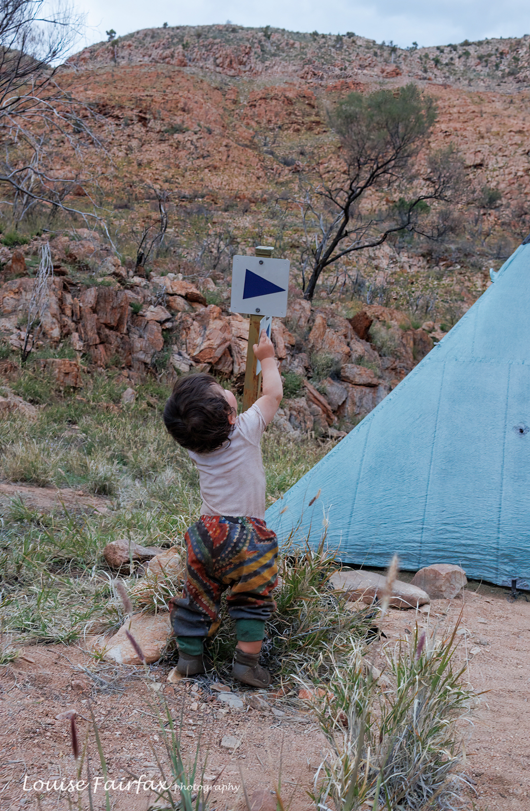
Adi exploring signs near the tent

That night, one of the “night runners” came through at 3.30 am, and seemed to consider it important to shine his torch into my eyes several times and make a lot of noise. I later heard reports that he had woken up people further up the track. Odd habit, that. These days, the temperature overnight had warmed up somewhat, and the scenery was so beautiful that I didn’t close down my fly, sleeping instead with a perfect view out to the moonlit desert landscape. Such a pleasure when there’s no passing person to shine a torch at you.

Day 14. Pioneer Creek to Hermits Hideaway via Waterfall Gorge
.

Pioneer Creek. A lovely sight to wake up to.
The spirit of my Larapinta

On this day I made a tactical error. I really needed my normal 4 km rest for shoulders and water, but Waterfall Gorge was only another 2 kms on, and we were going to stop there for lunch. I was with Alex and Nitya, and they weren’t stopping, so I decided to press on with them, even though I needed the break. Surely a short postponement of water wouldn’t matter? I felt fine and didn’t feel any thirst. BUT. It did. When we finally stopped, I felt quite dizzy. Then I felt nauseous. I was very dehydrated. In such a short time!!! I thought I was about to pass out, so plomped down on the ground (after drinking 250 mls), so that if I fell, the distance of the fall would only be small. In about 5 mins I had picked up, but learned a big lesson: keep to my original plan and don’t put off dinking for any reason! I didn’t feel at all thirsty – just sick.

Dinner time

We had a nice long lunch. I was a bit scared of now climbing a mountain, and knew I needed to take it very slowly. I set out ahead of the others so I could do it at amble pace, but the water I had imbibed at lunch time had done the trick, and even though the day was still hot, I made it up Mt Giles Lookout in good time. There, a pretty stiff breeze welcomed me to the top and cooled me down nicely.

Sunset looking at Mt Giles

It was only a bit over a kilometre from there to Hermits Hideaway, our chosen spot for the night, so on I went to finish off the day. Here there were trees and a rock ledge for shelter, so, given the wind, it was a good choice. I might try Mt Giles Lookout next time, although I did love the Hideaway. There were plentiful spots, each set in amongst a group of trees – mostly bush fuchsia (Eremophila latrobei). Mauve fuchsias (Eremophila christopheri) were also in abundance on this and every hilltop. They are obviously a plant that likes a good view.
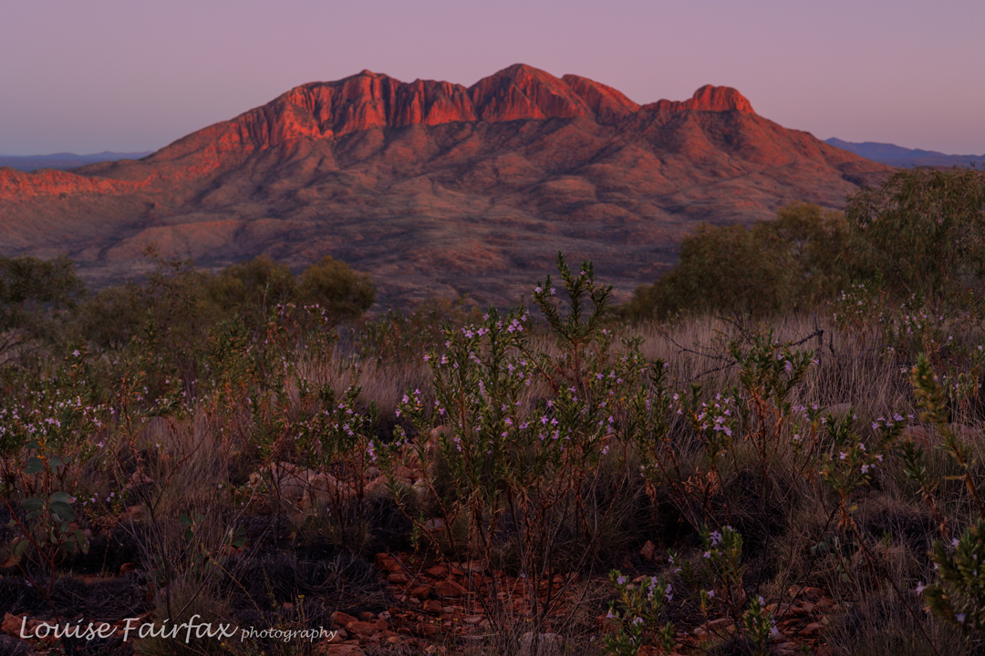
I sat on “my” piece of rock wall, enjoying the scenery out to Mt Giles during my early dinner, and, of course, enjoyed the sunset that followed.