Mt Hugel, Little Hugel and Mt Rufus 5-6 Jan 2013
Friends expressed concern as I set off for the bush. This was a weekend of huge and dangerous fires in Tasmania, and they were worried about my safety (and, possibly, my sanity). As it turned out, however, I had the best weekend imaginable, and part of that is due to the fires.
Our original plan was to climb Mt Field West, a mountain I have already summited, but a long time ago, and without a decent camera, so here I was to climb it again.
After many hours’ driving, we discovered we couldn’t get through to the Mt Field National Park, or beyond it to our plan-B mountains. We virtually came face to face with the fire, burning just across the river from us, and we feared for our safety should the wind pick up while we were sleeping, so I turned around and drove some more, back to New Norfolk. It was just off midnight by this stage, and I was exhausted. We didn’t have a clue where to sleep, and the residents were still rushing around everywhere attending to fires, so we just parked the car by the river, and lay down to sleep under the stars.
No one slept well. Cars and utes and trucks roared up and down the road for many hours. When they finished, the mosies decided it was safe to come out, and danced and sang around our heads, screaming with their high-pitched little sirens. After that, I decided I was a little cold, so went to get some clothing and my good down bag (I had just bunked down in my silk sheet). It was now about 3.30 or so. Not too long after that, the light doze that I’d drifted into was disturbed by some drops of rain. I went off, got the tent poles out of the car and put them in their sockets to pitch the tent. However, the ground was so hard I couldn’t drive the pegs in at all, so gave up. Bruce then went back to sleep on the tent carcass. It was now about 4.30. I decided to ‘sleep’ in the car as it might rain again and I didn’t want to wet my good sleeping bag. I curled up on the driver’s seat, and actually fell asleep properly for the first time that night. I slept until the sound of the others talking at 6 a.m. woke me. We breakfasted and were away nice and early to try our luck in the (Mt Field) National Park. The weather had cooled; the wind was westerly. Things should be OK.
The sign greeting us as we arrived at the park said it was closed until 9 a.m., so we decided to go in anyway and visit some of the waterfalls not too far from the entrance while we waited to be allowed to do our real walking – we did a nice balance of walking and photographing, walking nearly 1½ hours. Back at the centre, they said the park was closed, and that we couldn’t go to most of the other places in southern Tassie we had thought of as alternatives due to other fires. We settled for one of the walks I had suggested as soon as I knew fires were a problem, and off we set for Lake St Clair, still not knowing if we could get through to there, as a fire lay in between it and us.
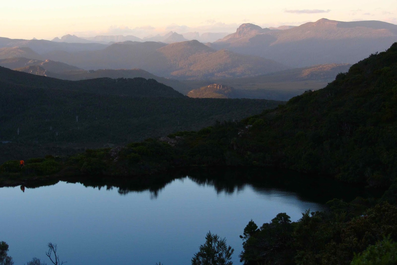
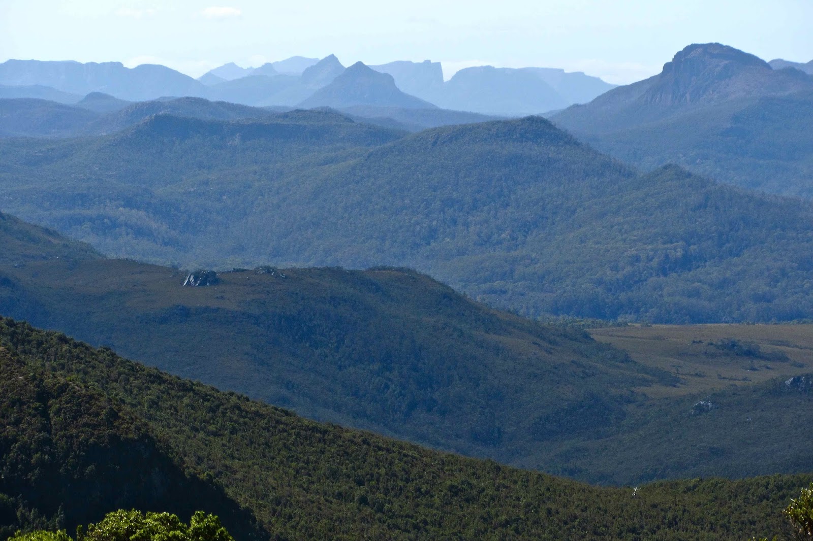
View from a tarn between Little Hugel and its parent
It was therefore midday as we at last approached our destination. Now we were hungry, so had a quick bite of pies before beginning. I had now done 6½ hours’ driving, and we hadn’t yet started walking.
At last we were off, and after 1¼ hours walking through lush rainforest, and another snack by a beautiful little lake, we were in position to start climbing our first mountain. It nearly didn’t happen, however, as seen by the following conversation:
A-M (our coordinator): Where will we set up camp tonight?
D: Whichever place is easiest.
Me: It’s easiest to stay at home.
A-M: Yes, D, much easier to stay at home.
Me: I haven’t driven six and a half hours (and still counting) to go for a grandmother-stroll in the bush and camp at the easiest spot, D.
Fortunately, D lost and the rest of us won, and off we set up Little Hugel, to climb it and spend the night at a tarn up there.
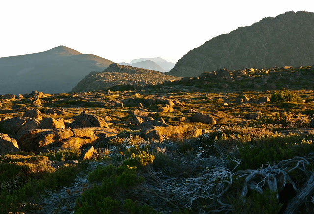
The views from the top of Little Hugel were excellent, and from there we could see where we’d elected to pitch camp for the night – a tarn lying on the ridgeline off to the north. It didn’t take long to reach it.
After dinner I wanted to climb a nearby ridge to get photos. A-M was coming too; nice. D and a third guy were exhausted, and Bruce had already turned in, fully spent after a bad night and what turned out to be a good amount of walking and climbing. I said “Good night gentlemen” en passant, as I wanted to climb quickly so as not to miss the best light. Oh no. They wanted to come. I was in no mood to have done all that driving and have my chance of photography ruined by the slowness of others.
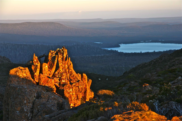
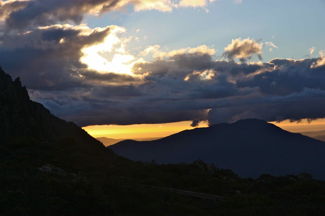
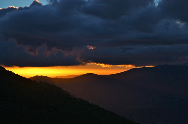
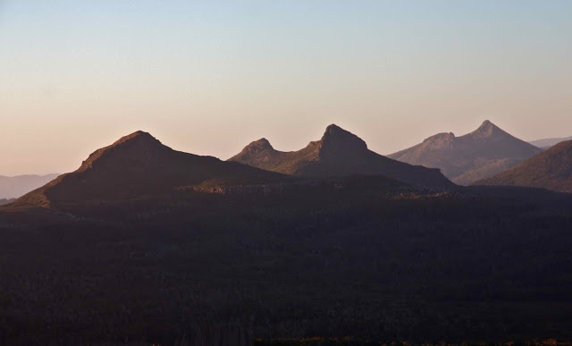
Photography is a sacred and solo business at times like that. Anyway, I achieved a compromise between dashing ahead and waiting – sort of darting to where I could at least get a good view, waiting for them a bit, dashing some more. The sunset was stupendous, mesmerising, and after that I felt complete and at peace … until D produced his mobile phone and ruined our connection with sublimity with his booming voice reducing the infinite to a series of reified verbal descriptions. I scolded: “You don’t have to cover the distance by sheer lungpower, D.” The others laughed.
“Don’t describe it over the phone, just show him a picture”, added Mi. He totally stole the magic with his verbal intrusion into the world of ineffable beauty.
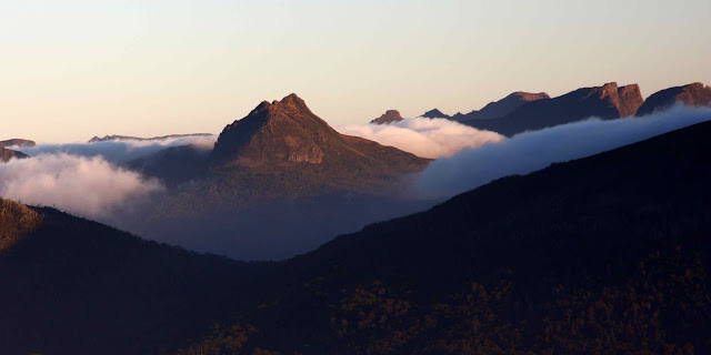
Next morning we agreed that A-M would wake us at 6 a.m. for an early attack on our next mountain. This one was packless, so the pace was good. Also, D elected to stay in bed. The light was golden; everything was sparkling and wonderful as we set out. We moved well, and it was still wonderfully early as we summited.
Back at camp we reunited with D, who was also content, as he’d seen lots of lovely birdies, and even had a little dip in the tarn. We lazed around the tents having breaky number two, chatting, and soaking in the glory before we left it.
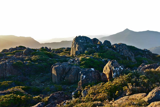
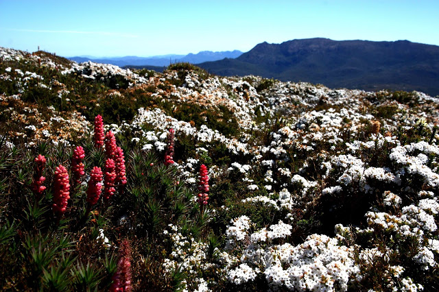
The last mountain, Rufus, was less exciting, climbed in the glare of the middle of the day, never the best conditions. It was still enjoyable, though, and there were lovely flowers near the summit.
On the descent we ran into a slight problem, however, as Mi ground to a near halt. We had now been underway for over 10 hours, and this was his first overnight bushwalk, so he was being sorely tested. I had thought to myself that his breakfast and lunch were both inadequate, so was not surprised to see him flailing a bit. A-M summed it up: “Mi’s hit the wall.” We discussed possible courses of action. She hoped she could persuade him to go faster with the promise of a pub meal at the end. Our worry was that the pub stopped taking orders at 7.45, and we did not look like making it by then. With perfect nonchalance, D contributed to the discussion with the comment: “My mother will have a meal waiting for me when I get home” – so, food didn’t matter to him. I said: “My mother won’t, and I have many hours yet to drive. I want food.” Problem – I didn’t believe going faster was in Mi’s present range of behaviour. A-M and I plied him with lollies, bickies, nuts and anything we could find, spoke to him about pub closure and set off. A-M was right and I was wrong, I am pleased to say. Motivated by the threat of no dinner, he rushed through the remaining 1¾ hours of forest, with the rest of us in pursuit. I then sped the 5k from the end of the track to the pub in the car (without D who was still in the bush – I went back to get him after 20 mins or so), to order before they closed, arriving at 7.46 – but they let us give orders anyway. Dinner after such a day – 12½ hours on the track – was a TREAT.
Even the way home was great. There were hundreds of gorgeous animals on the road. I haven’t seen black spotted quolls ever; haven’t seen brown ones since 1992; haven’t seen a live, wild devil since the 80’s. They were all there, along with an array of paddymelons, wallabies and possums, all holding meetings in the middle of the road, or just crossing. It was a slow trip, but I didn’t hit one single animal – quite an achievement, I felt. After two hours’ driving, A-M took over for me. I had really had it. While she drove I tried to talk to her to help keep her awake, but kept falling asleep. Sometimes I woke up to hear myself talking. I have no idea what nonsense I was prating. I’ll have to ask her some time.
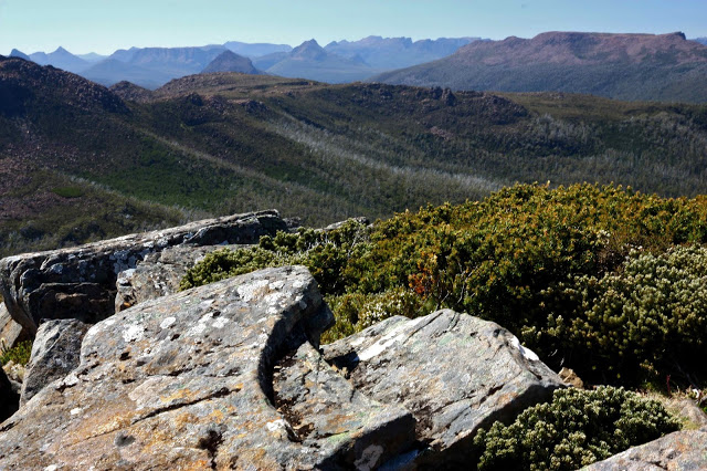
So, that was the best possible weekend – wonderful scenery, with nice people. It’s just such a privilege to sit up high at the start and close of a day, eating with your friends and staring out at magnificent scenery. Bring on the next trip.
Post script. I write this p.s. after Bruce’s disappearance and death. Anne-Marie was in the forest searching with so many others for the beloved man we couldn’t find. In between crying and sorrow, we found moments of shared laughter, as laughter and tears bind bushwalking groups together. This trip was one of the points of laughter during those sad few days of searching.