Aldebaran 2018 Apr

Mt Aldebaran, Apr 2018
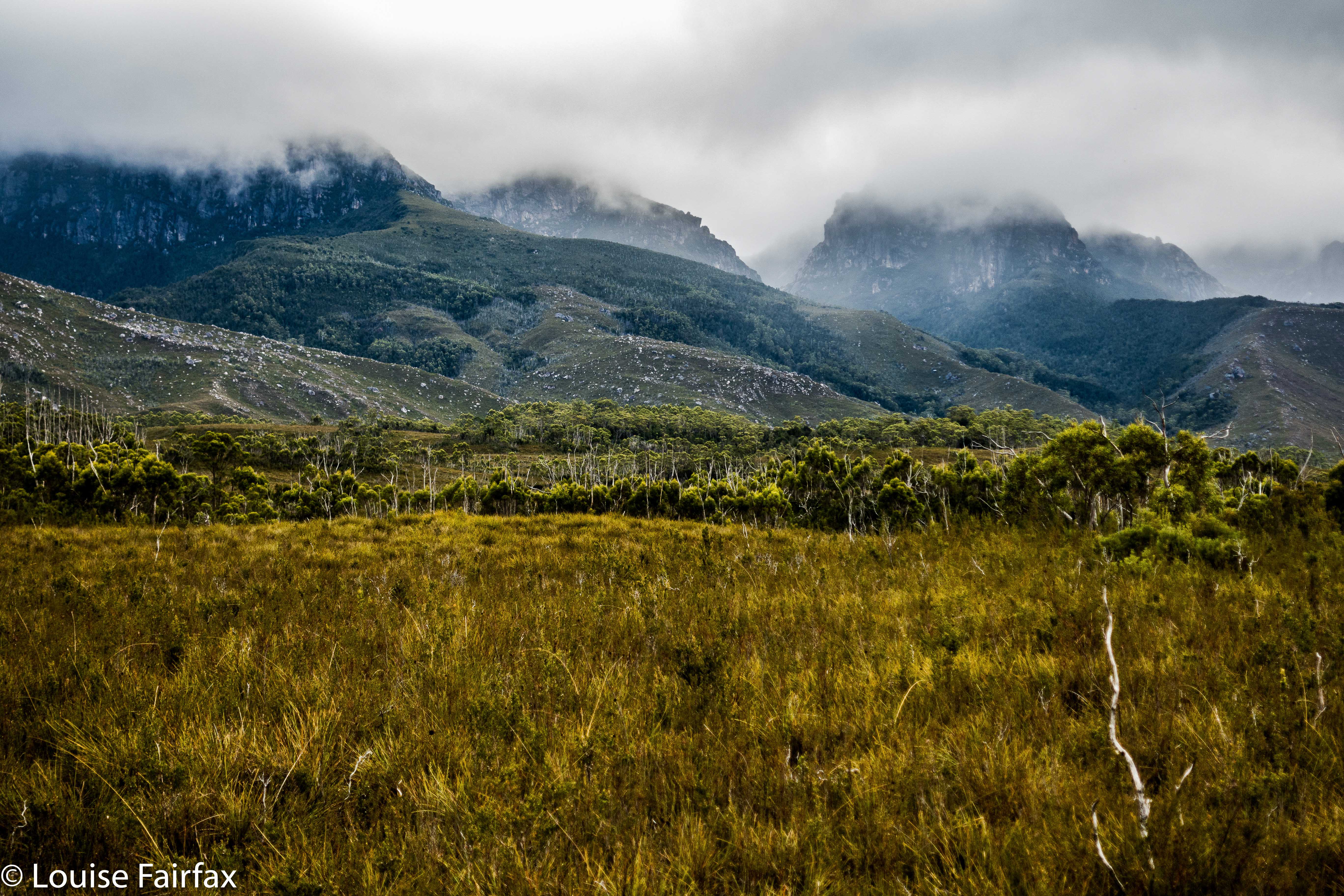

Somewhere up there Mt Aldebaran is hiding. Looks inviting, huh?
I really wanted to climb Mt Aldebaran before the super cold set in, having missed my chance over the summer. I decided it needed to be a solo venture, but thought I’d like to do it in the school holidays, as maybe I’d accidentally meet someone up on the range, and that would feel nicer. I had my plan: early start on day one, use the Kappa moraine shortcut and continue up to Lake Sirona to sleep. I’d looked at my stats for what I’d done in the area before, and this seemed feasible. Day 2 would be a shorter, easier day, just climbing Aldebaran from Sirona and enjoying being high for what was left of the day. Day 3, I would begin my descent and climb Carina Peak, dropping just as far as Promontory Lake. Day 4, out. But then I got an email from a friend saying he’d like to join in. He lives in Hobart, so starting Thursday morning suited him (rather than sleeping in the carpark Wednesday night, as I had envisaged). That was fine, although it did make reaching Sirona unlikely, but having his company – a mud buddy – would be lovely, so I agreed.
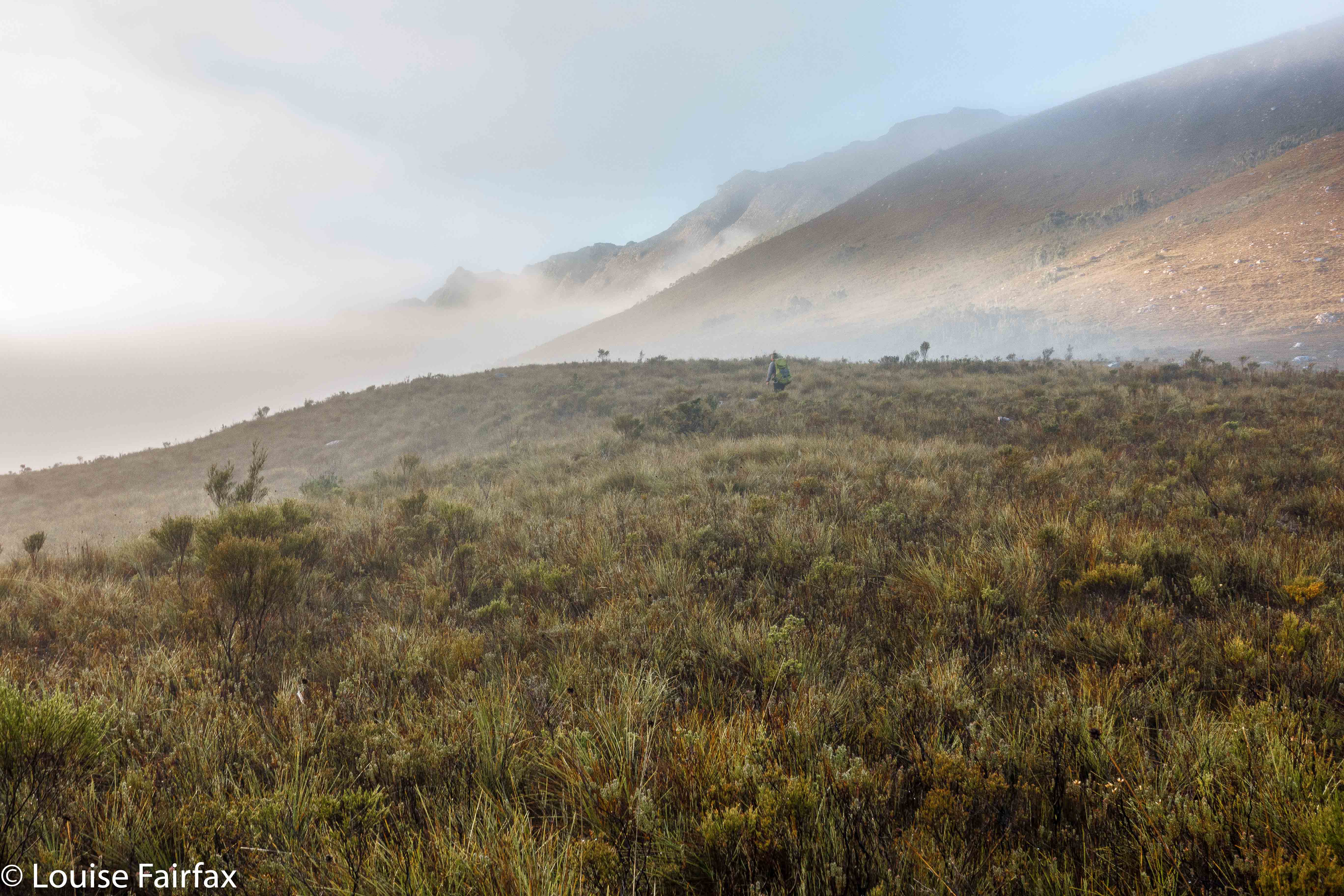
If you look carefully you can find my friend heading off into the mist.
Day 1 did not go brilliantly. Our later start ended up very late indeed, and the track was very muddy and slow, We only made it to just past Seven Mile Creek before dark set in. I squandered half and hour at the tail end of the day trying to find a suitable crossing point for the creek that had now reached fast-river proportions. I kept going upstream until I found a fallen tree that I could hold on to. I didn’t trust myself not to be swept away otherwise. And now it was dark. Time to pitch the tents, collect water, eat and sleep. Boom. No mucking around at this end of the day. I reckon my eyes were closed by 8 pm, having got up at 4.30 to drive down to Hobart.
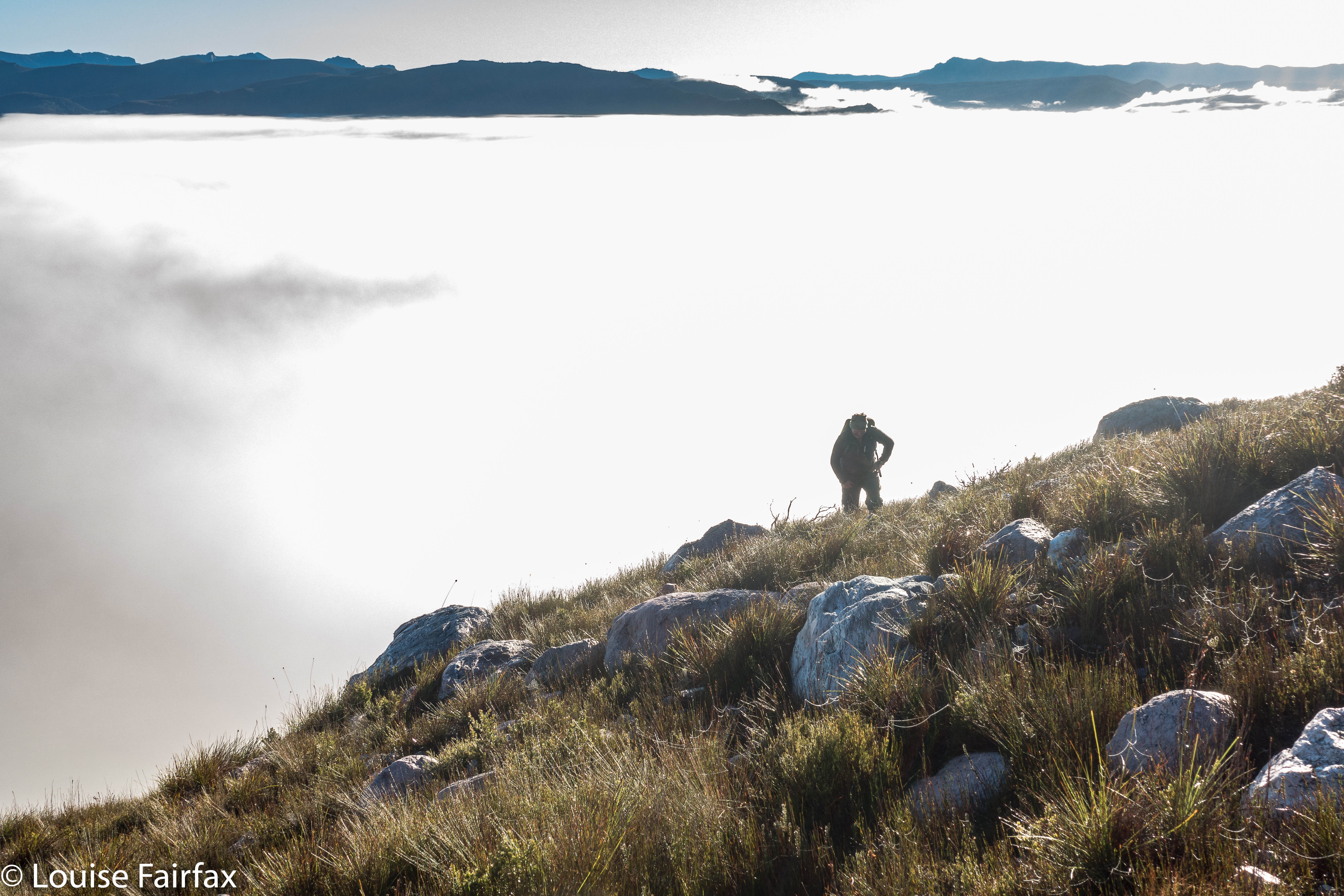
Up above the clouds already.
All night, it seemed, I pondered the dilemma of what to do with our shortened camping spot. My friend had struggled in the afternoon, and I thought getting his tent up the steep climb could take so long that we would be timetabled out of climbing Aldebaran, which would mean we had to do it on day 3, making day 4 too long. But, leaving the tents where they were and climbing up and down in a day was risky, as it would be a long day, and if we failed, then the trip failed, as there would not be enough time to then get the tents higher and start again. In the end, and with huge reservations, I decided to risk a long packless day, thinking that that would give the best chance of a summit.
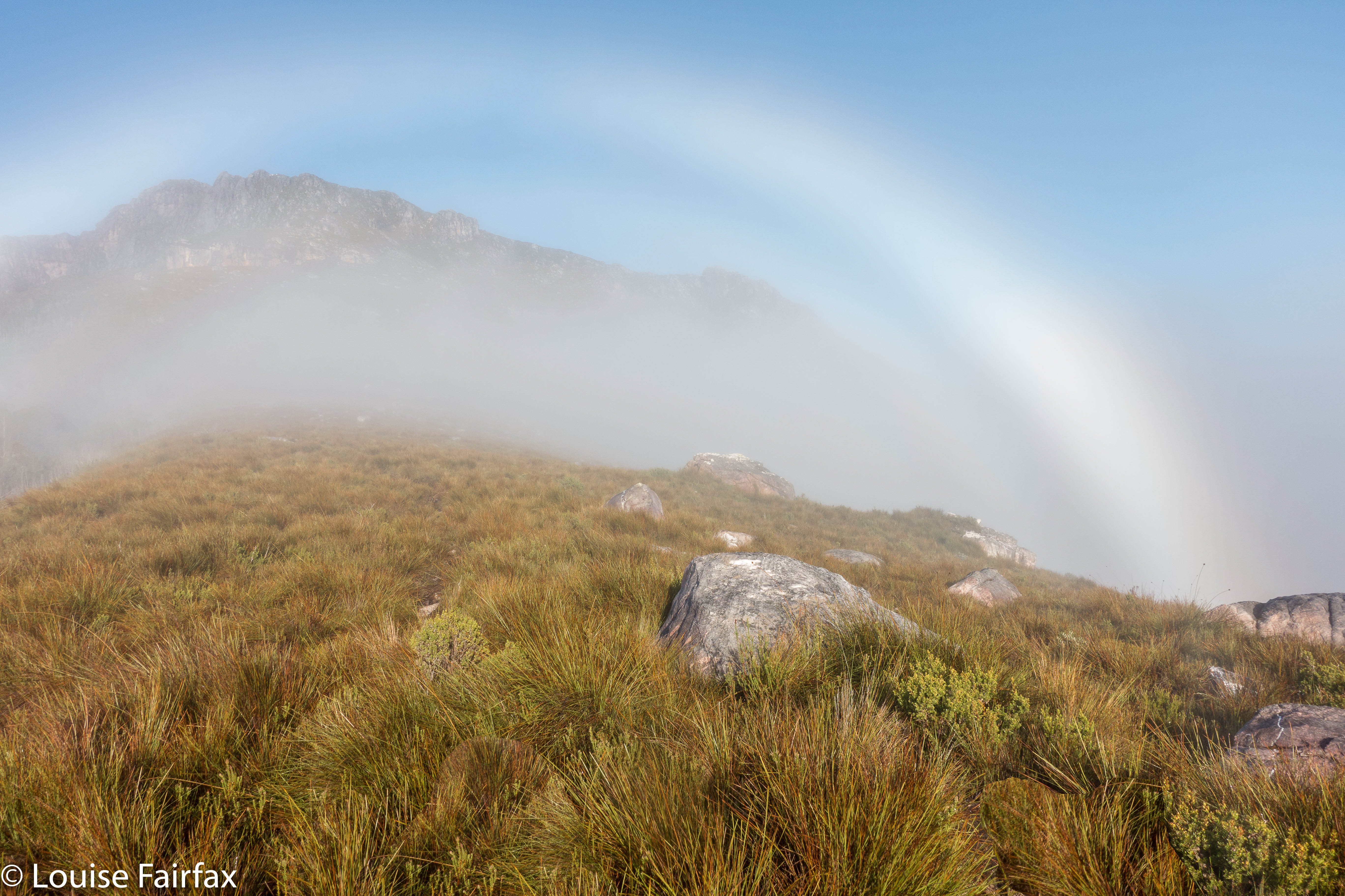

A fog bow
Off we set at 7 a.m. Unfortunately, once we started on the steep section, our differences in speed became very noticeable. It was too early in the day to worry. At 9 a.m., my friend suggested I go on without him; he was not having a good day. I said I thought the worst of the climb was over, so let’s stay together longer, but at 10.40 a.m., I had to admit defeat. If we didn’t separate, I wouldn’t get my mountain, so, during the climb up out of Lake Sirona, we parted company, agreeing that I would catch him somewhere on my rebound. I hoped that’d work out.
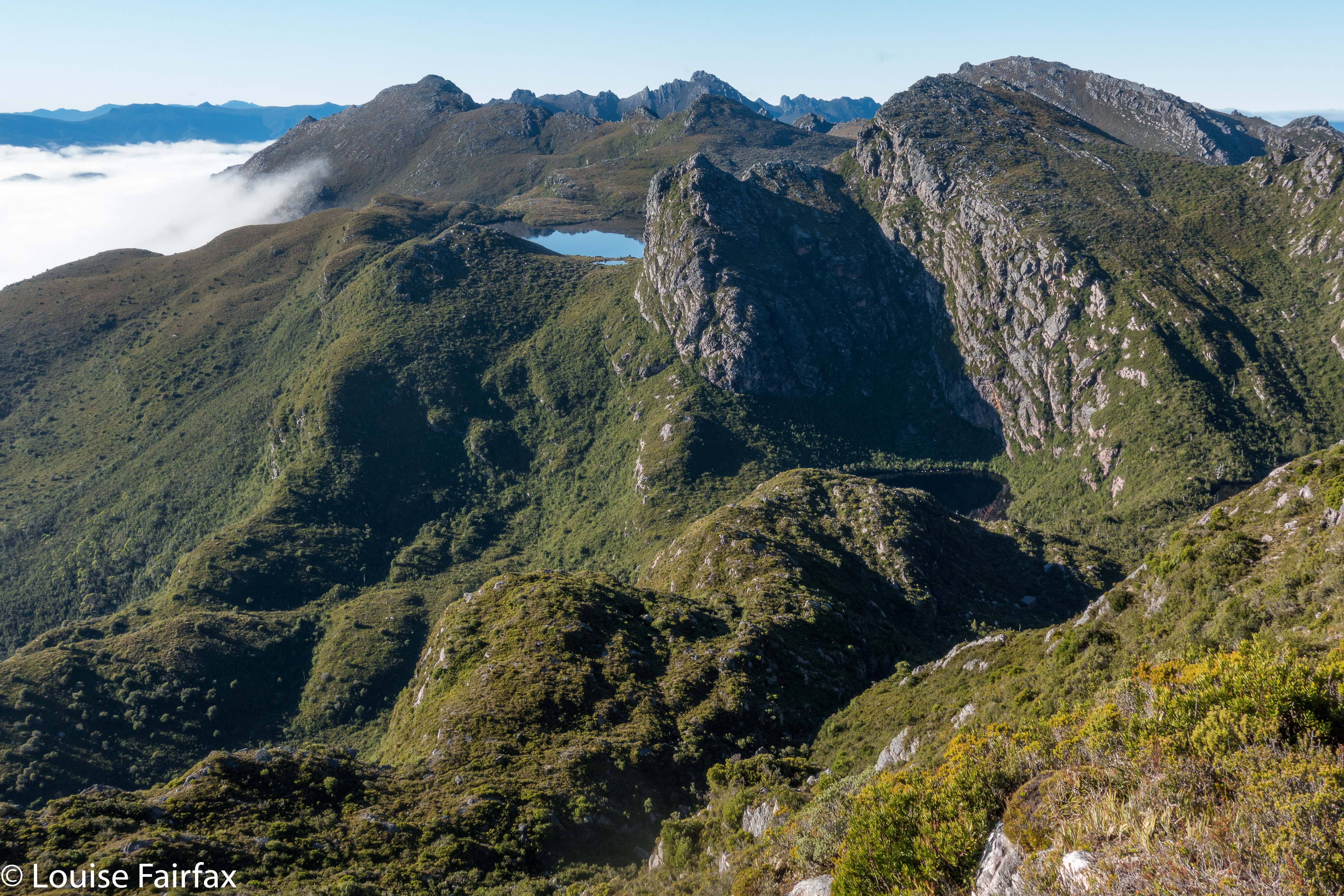
From on Kappa moraine, looking towards Lake Promontory.
Now I had two big lumps to negotiate before the climb proper began. I was so time stressed by this stage that my memory of these bumps is a blur. My whole focus was on hurrying so as to get to the summit before my turnaround time. My haste meant I didn’t make considered choices, so lost time trying to get off a cliff that was too high to leap from, but had no way around. I gave up, but on the rebound, noted wear marks leading over the edge of a different cliff. Aha. A way down around the obstacle so the climb could continue. On I went, hoping I could remember all this on the way back, when I would be equally stressed for time so as to avoid being up there in the dark.
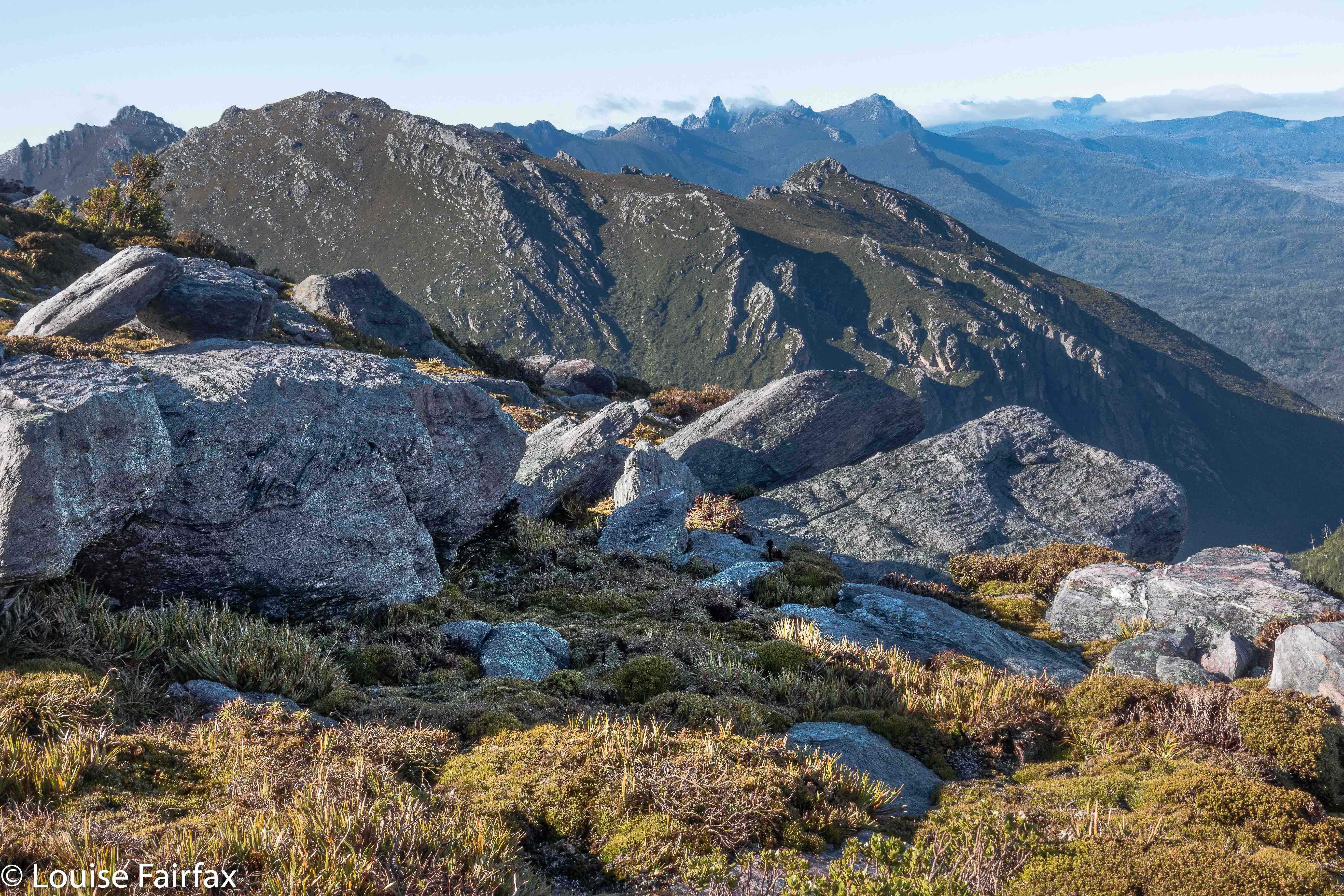
Weee. I can see Federation Peak – that fabulous fang in tiger distance.
Aldebaran has, it seems, four summits. Excitedly I climbed the first one, ready for jubilation, only to find two more bumps ahead, both of which seemed higher than this one. Grr. More wild dashing. At last, and getting tired now with all this frenzy, I crested the bump. It was 11.50. Oh NO. There was another, bigger bump up ahead, previously hidden behind other rocky mini-mounts. How long would it take to get there? My absolute latest turning around time was 12.30. More rushing. Hoorah. At 12.10 I stood on the summit and there were no more summits. I touched, took a few photos and thought I’d better go. To my horror, clouds, were now floating with a frenzy equal to my own, rising faster than I did up from the valley below and circling around me. I was about to lose my visibility. This was a complex mountain: i.e., this was very disconcerting news indeed. Meanwhile, it was very pretty, so I took a few more photos. Might as well die with attractive shots in the camera for my family to enjoy.
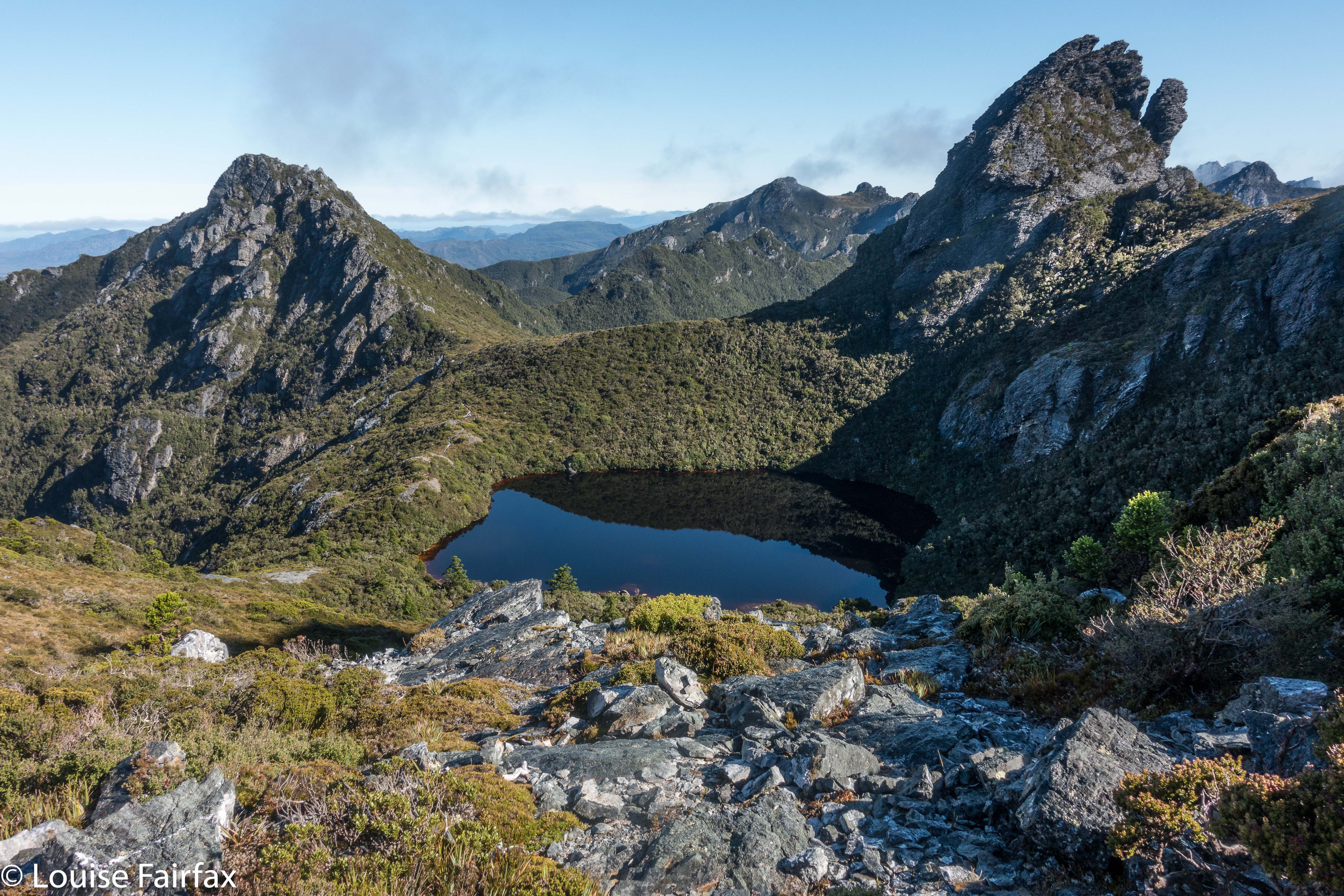
Still climbing. Looking down over Haven Lake to Mt Taurus.
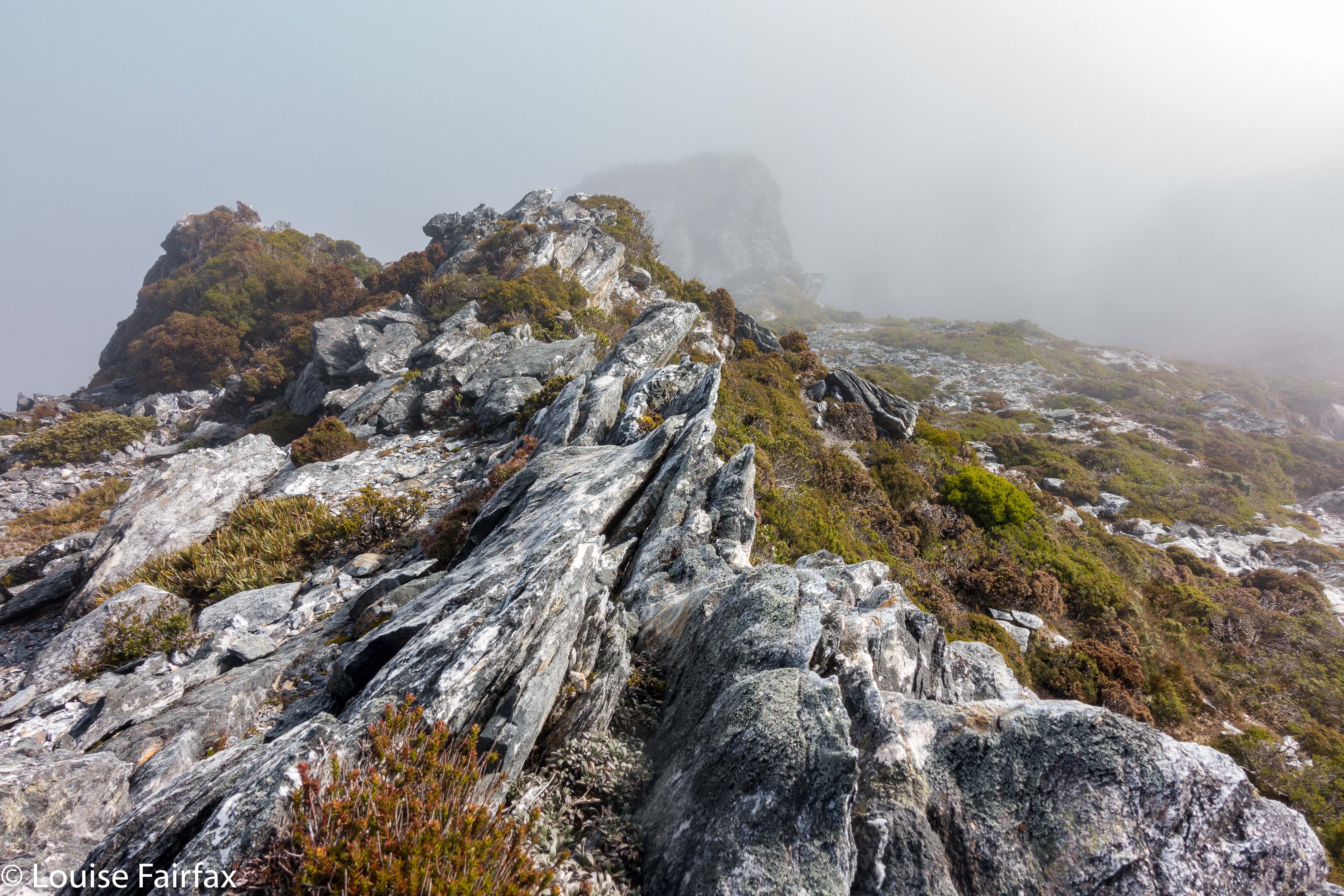

Mist closing in on top.
On I went, over bumps and through more saddles, hoping I’d remember my route. At the last of the bumps, I found my friend, so we descended to Sirona together. I’d made OK time back, so the pressure was easing, although A wanted to climb Scorpio. Fair enough, He hadn’t got to climb Aldebaran. He set off while I did some eating, saying I’d give chase. I caught him at the saddle before the final climb, and had great fun photographing his ascent (see below).
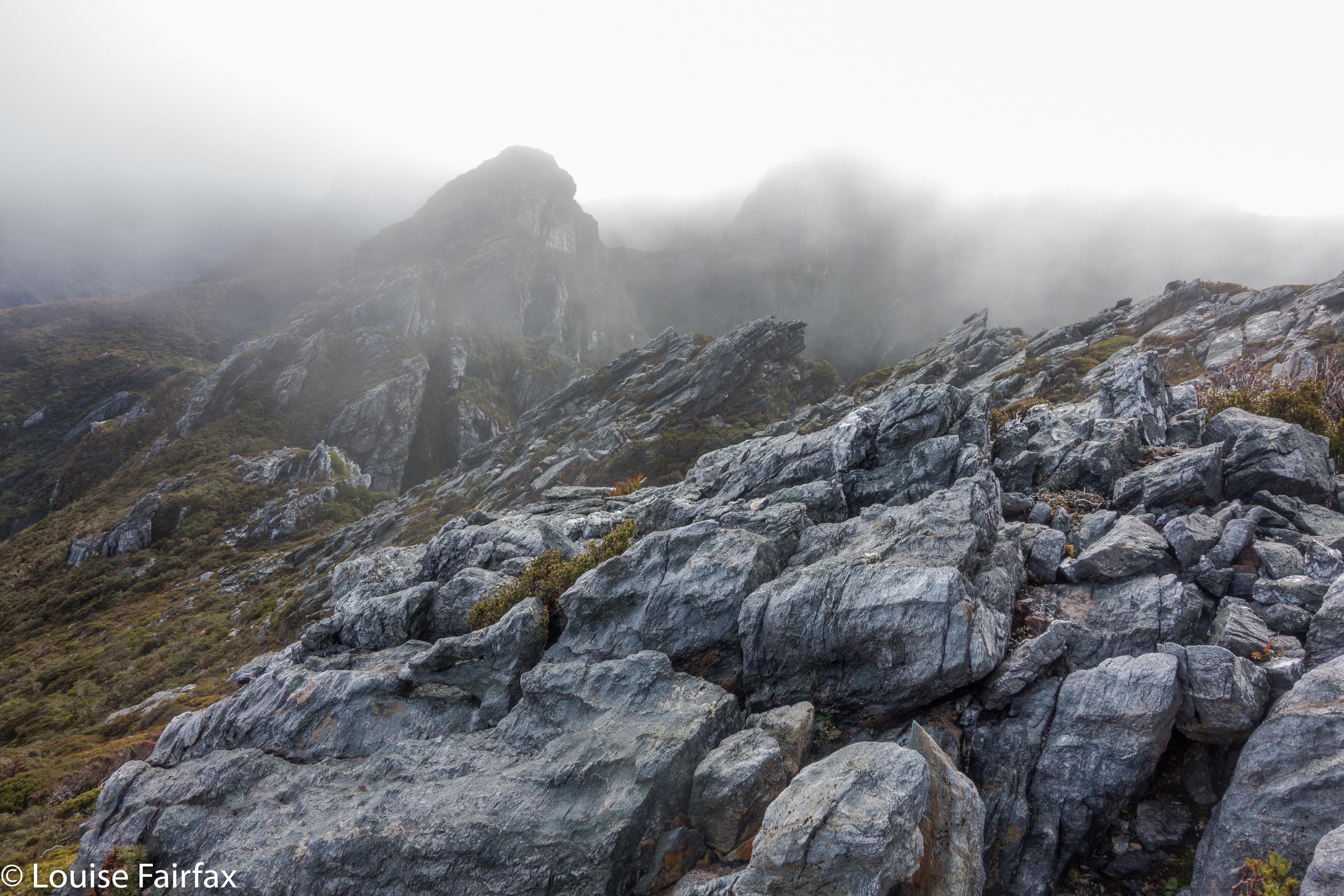

The route ahead. Ahem.
It had been pretty quick, and we were making good progress, so we now had what I felt were heaps of breaks, and lovely long ones, sitting on rocks watching the shadows lengthen and the atmosphere take on aureate hues as the sun dropped. Next day my friend said he would have liked more, and longer, so I guess all things are relative. At least with my being a task-master and time bossy-boot, we got back to the tents with just enough light to gather water before we lost all visibility. It was a beautiful mild night, and we both enjoyed the light and the slivered moon before falling asleep. I closed my eyes even earlier that night. I heard my friend call something about the moon from his tent, but I was too tired to even answer. It had been a long day, and I was finished.
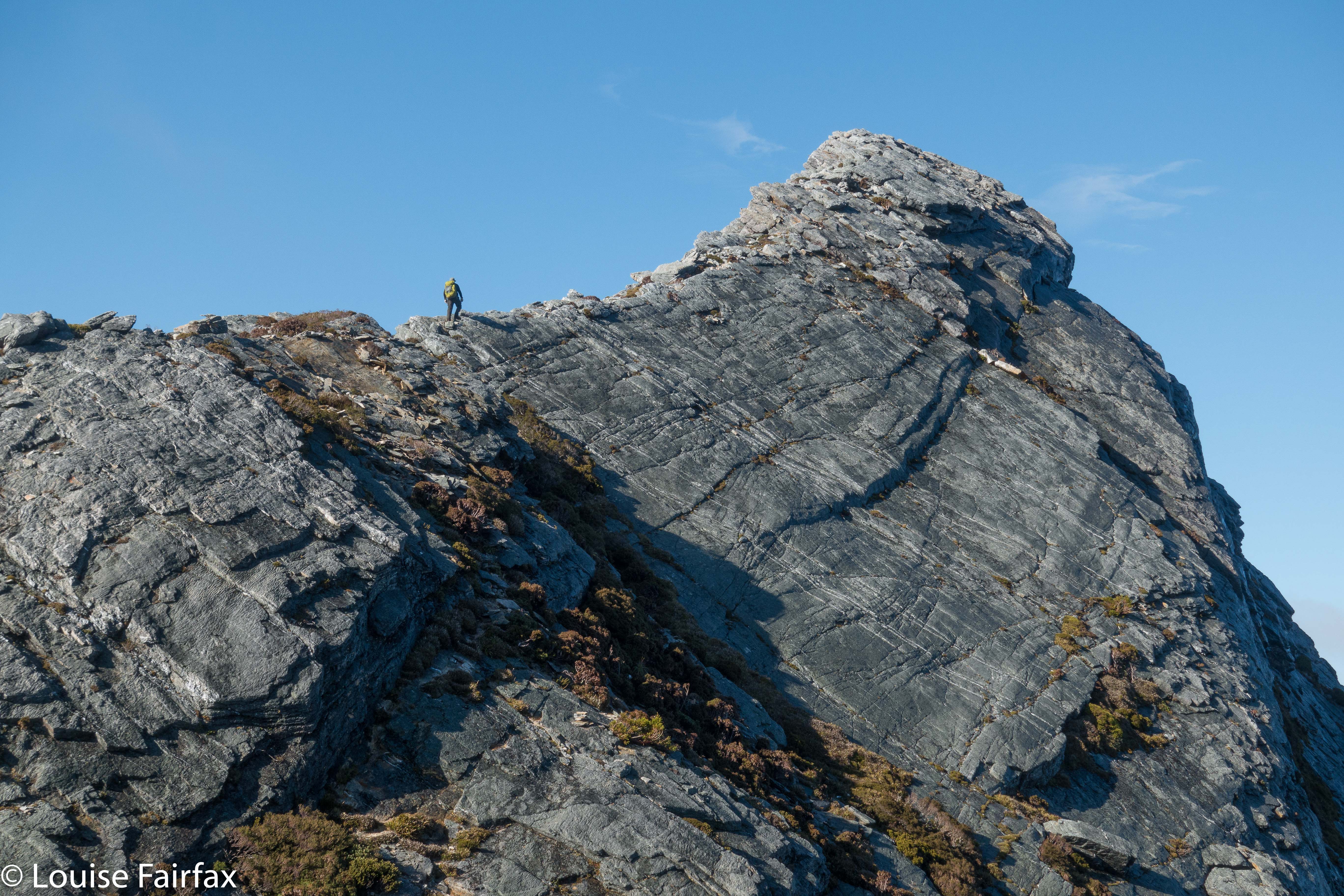
Climbing Scorpio. The mist cleared back again by Lake Sirona.
We were both exhausted on the third and final day, and the mud seemed even sloppier and deeper. Several times we were wallowing in it thigh deep. We both became covered in its ooze, but were at the cars by 2.30, which was great, although still, by the time we’d changed out of our black, smelly gear and got going, it was too late for our favourite food places. I drove my friend to Hobart, and decided I’d go back to Maydena and use day four for waterfall and fungi bagging and shooting. I might as well use being south while I was here, and had a doggy sitter for Tessa all lined up, so I should use the opportunity while it was available. It was a good decision, and next day I would visit Tolkien Falls, Regnans Falls and Growling Swallet before the big drive home.
Growling Swallet 2018 Apr

Growling Swallet, Apr 2018


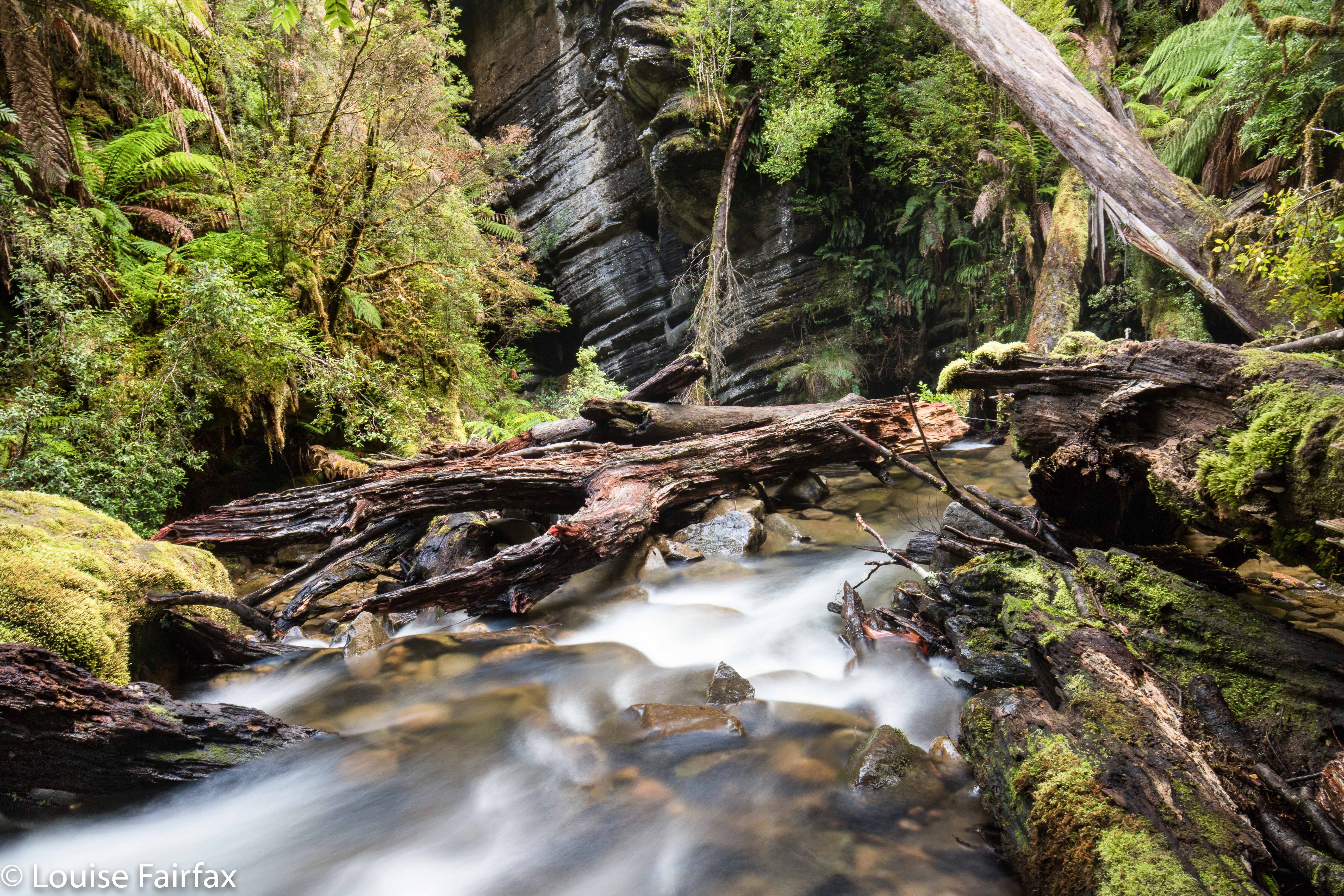
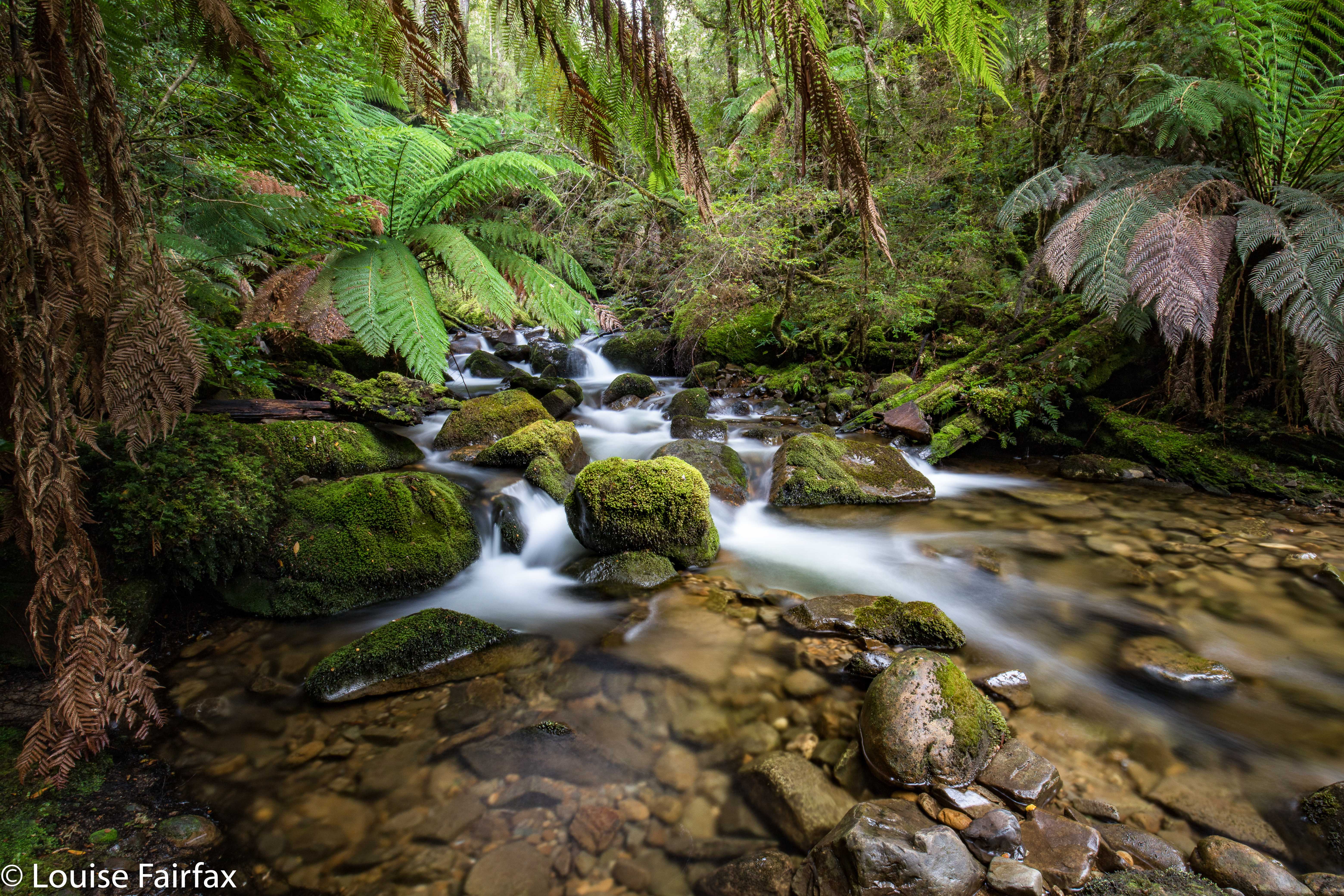
That’s the Growling Swallet right there, swallowing this helpless river rushing to its gaping mouth.
Growling Swallet: don’t you just find that the most wonderfully descriptive name – a mountain growling as it swallows a river? This guzzler of a mountain swallows this beautiful watercourse, as if in some magic fairytale (which is fitting if you could just see the forest!) and spends thirty kilometres digesting it in its large intestine before excreting it at the Junee Caves in Maydena. After being thus digested, it is called the Junee River. I only first heard this name less than a month ago, but was smitten with curiosity. I had a chance to see it on Sunday when returning from a climb in the South West, so grabbed the opportunity (along with a visit to kind of nearby Tolkien and Regnans Falls, which each have their separate blogs).


I have only recently finished reading Kazuo Ishiguro’s The Buried Giant, and am now reading a story set in Iceland, so I was in the mood for magic and fairytales. And it’s fungi season. I was expecting a lot of this place, and I got it.


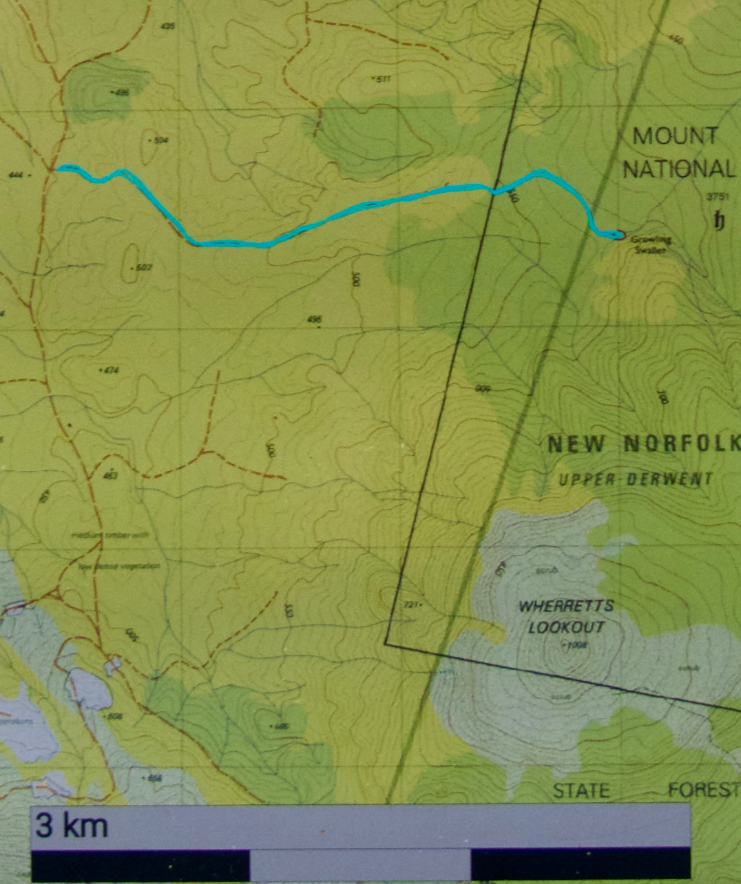
To reach this area, turn right if coming from Maydena onto the dirt road that goes under the main road after you’ve turned and after it sub-divides into Styx and Florentine Roads. You want the Florentine Road, which you’ll follow for quite a while as it rises ever so gently to a saddle with Tim Shea, and begins a descent just as gradual over the other side. The drive will take 25-30 mins, depending on how comfortable you are with dirt road driving. Ultimately you will arrive at a road on the right called F8 EAST. This is yours. It has a locked gate. You can pay $300 for a key (refundable if you’re not swallowed), or you can try your luck at driving in, or you can do what I did, and just park and walk the lot. This involves walking an extra four kilometres.. Big deal. At the minute, there’s a fallen tree right at the start of the road, so if you love your car, walking is the go.


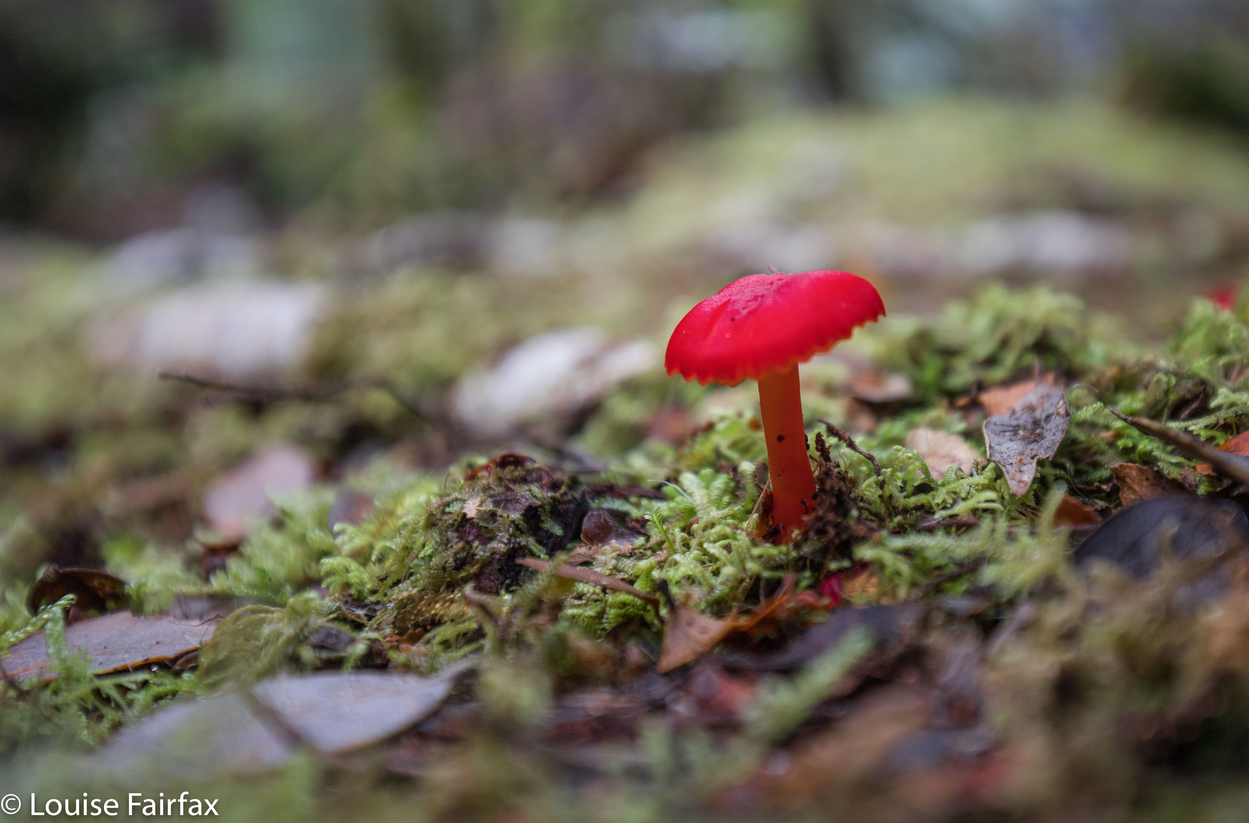
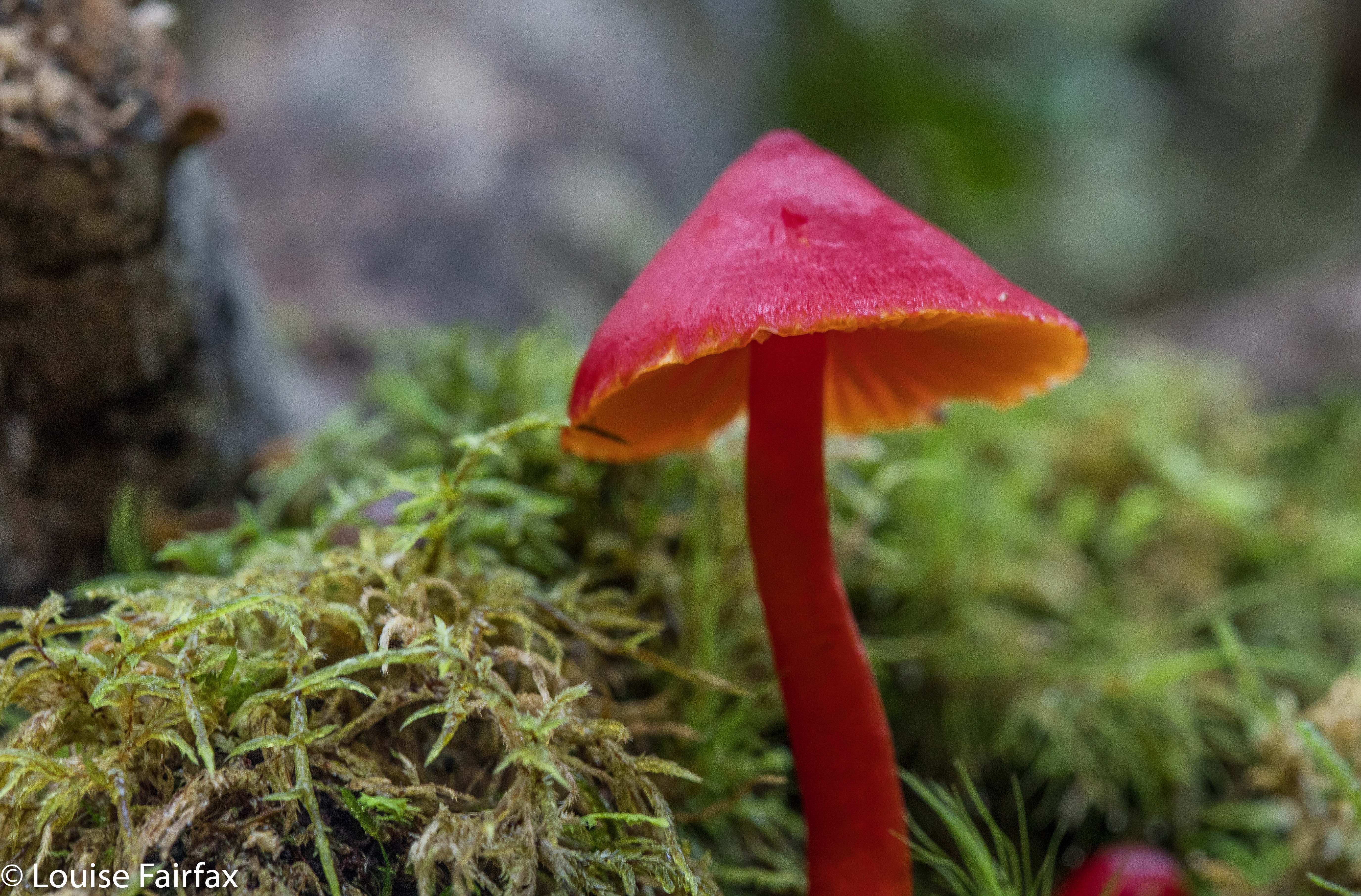
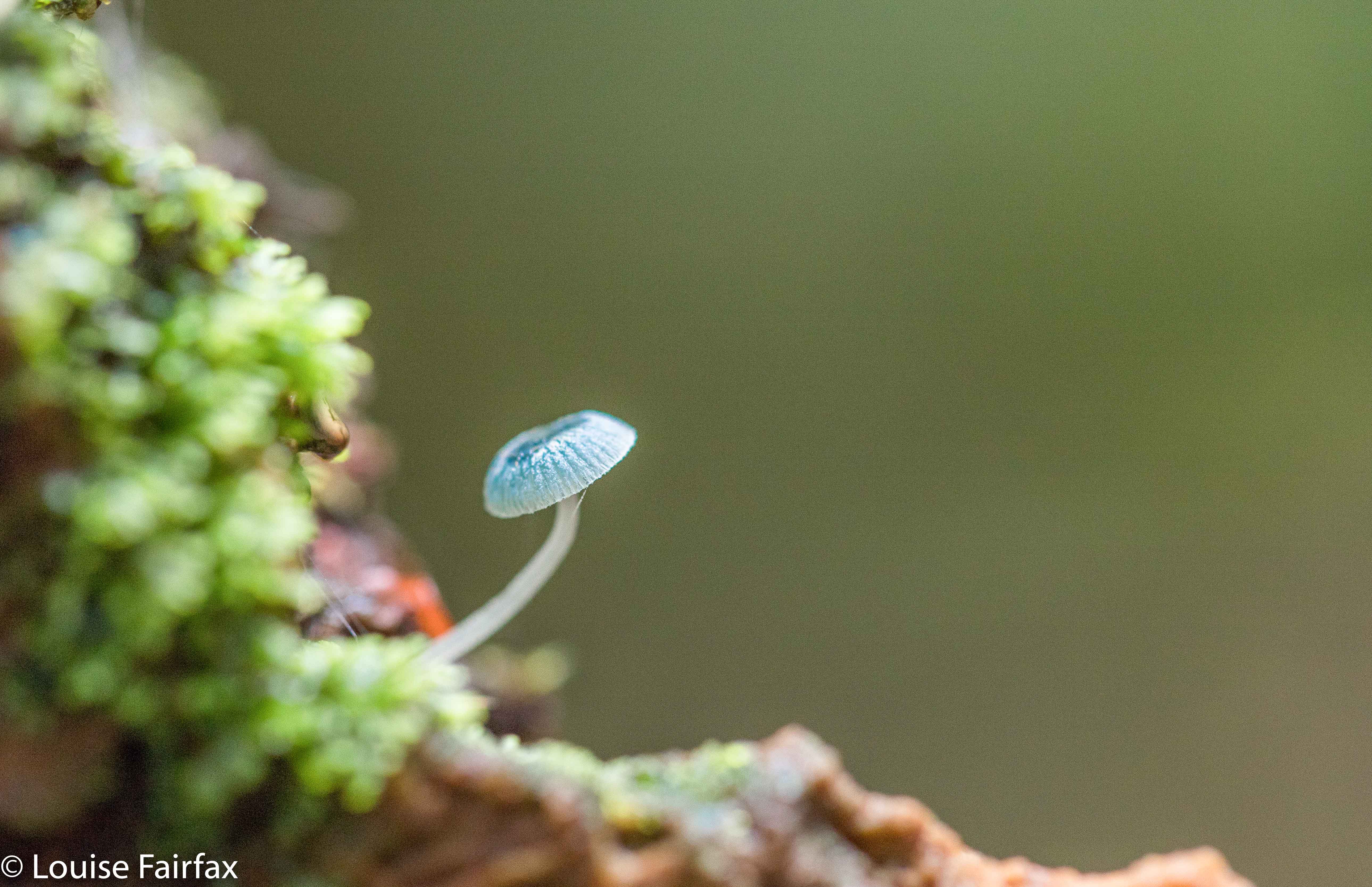
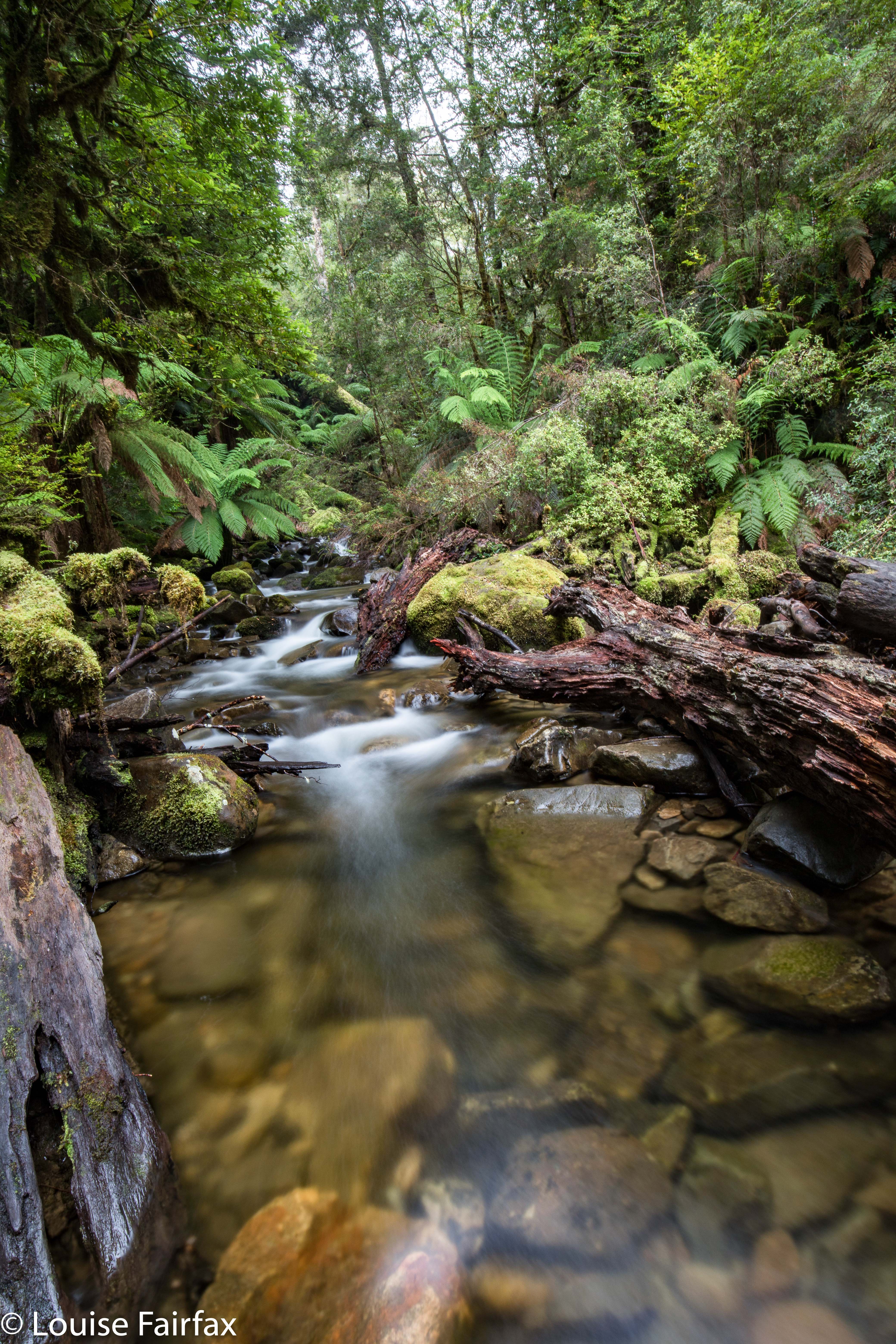
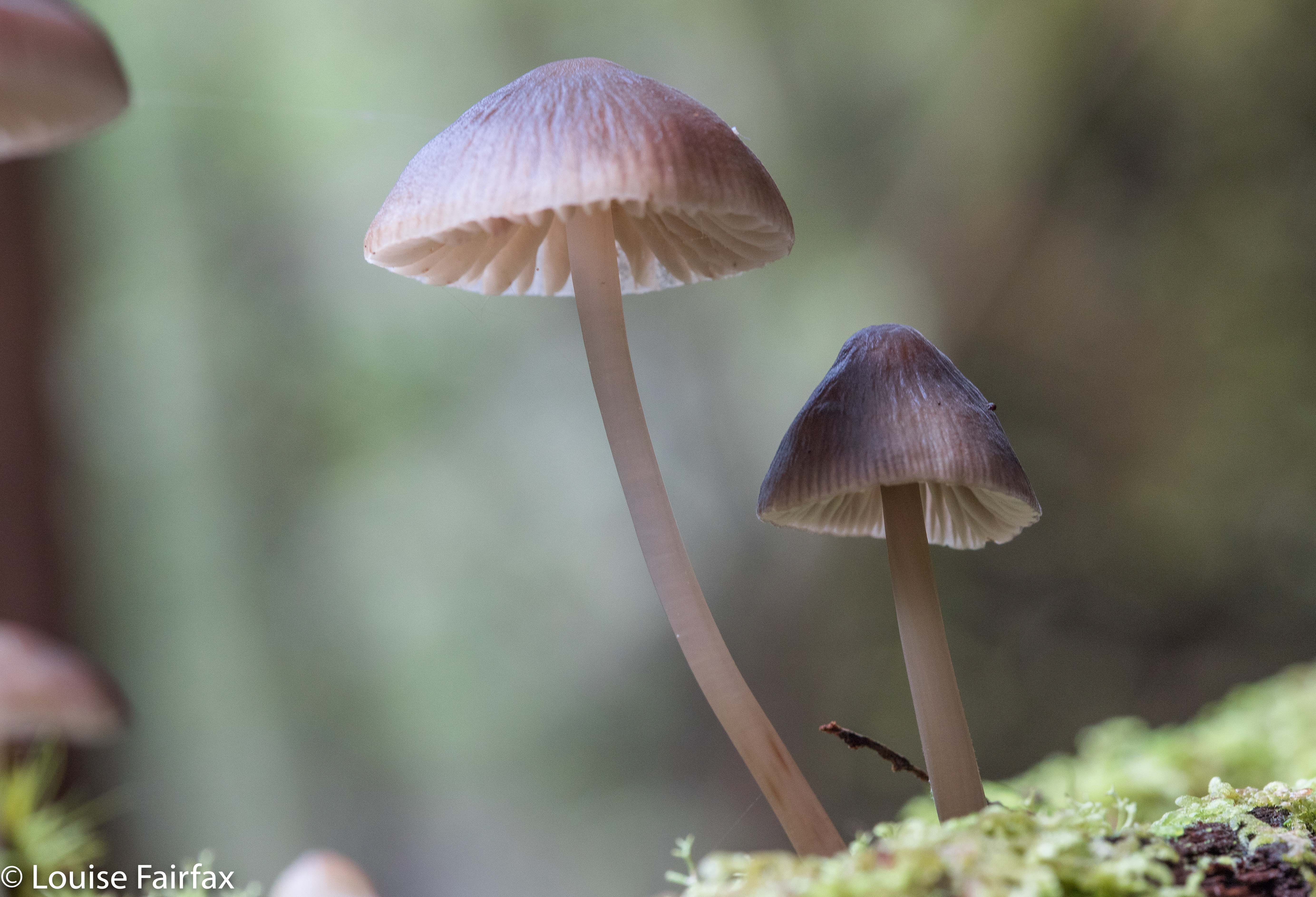
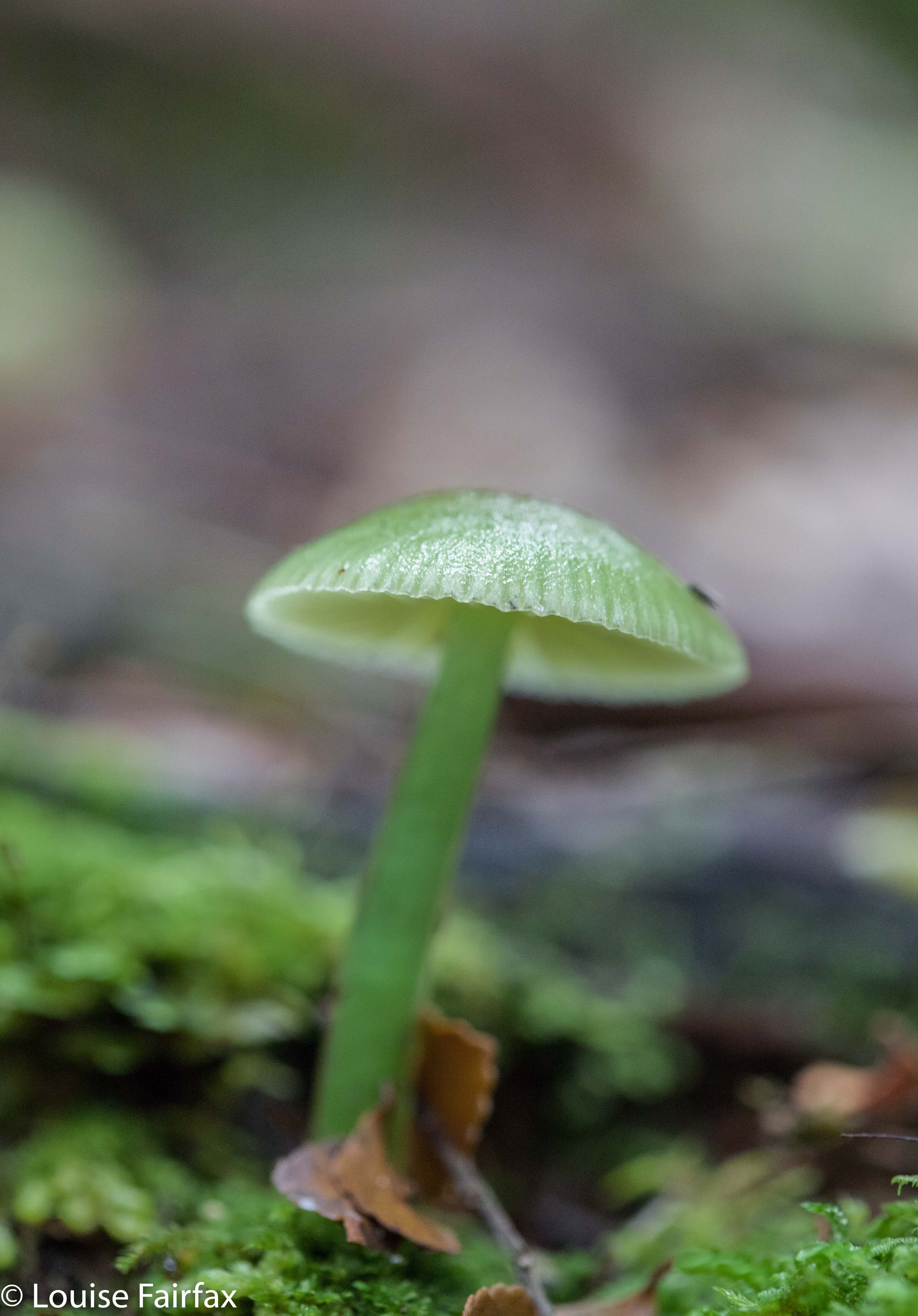
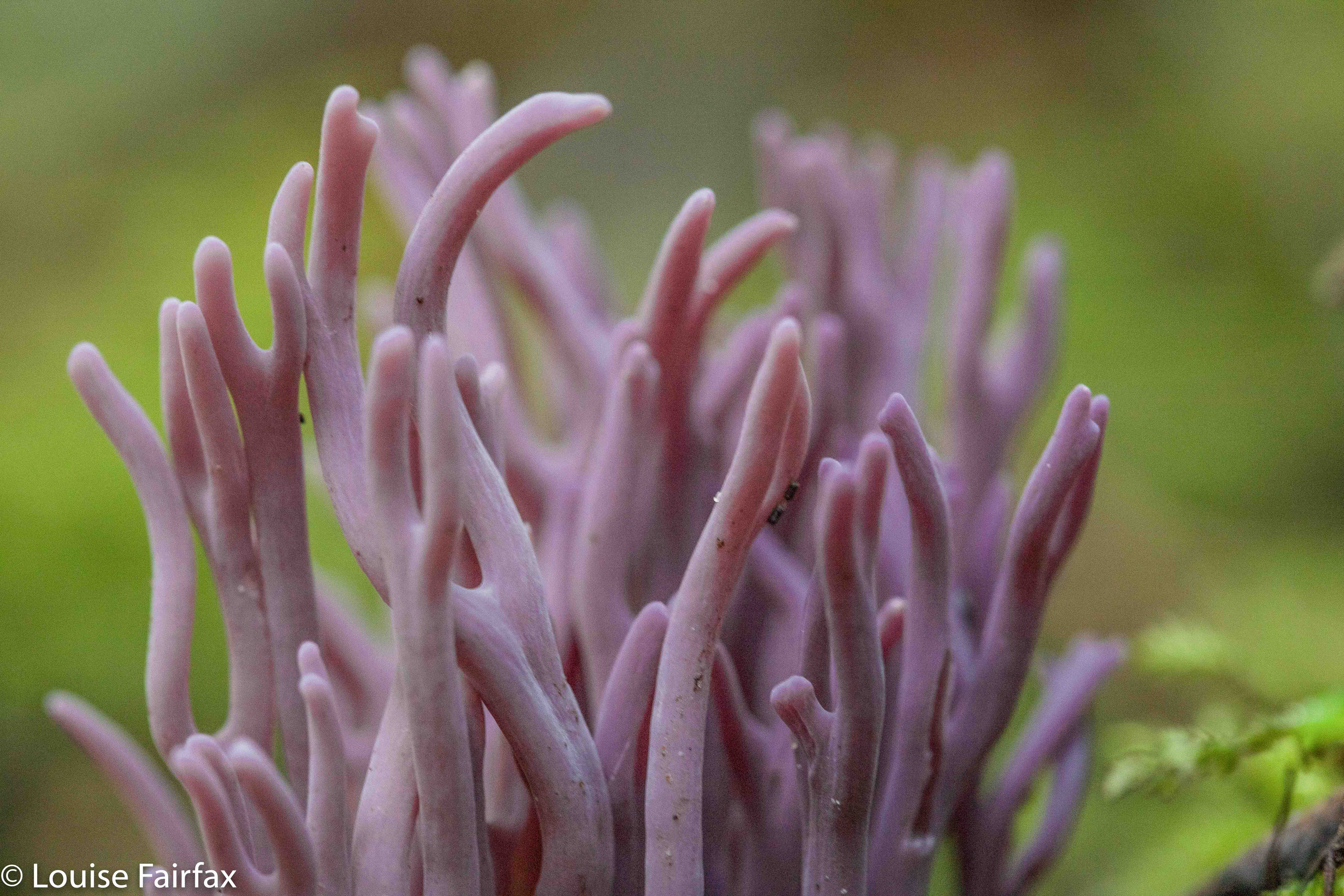
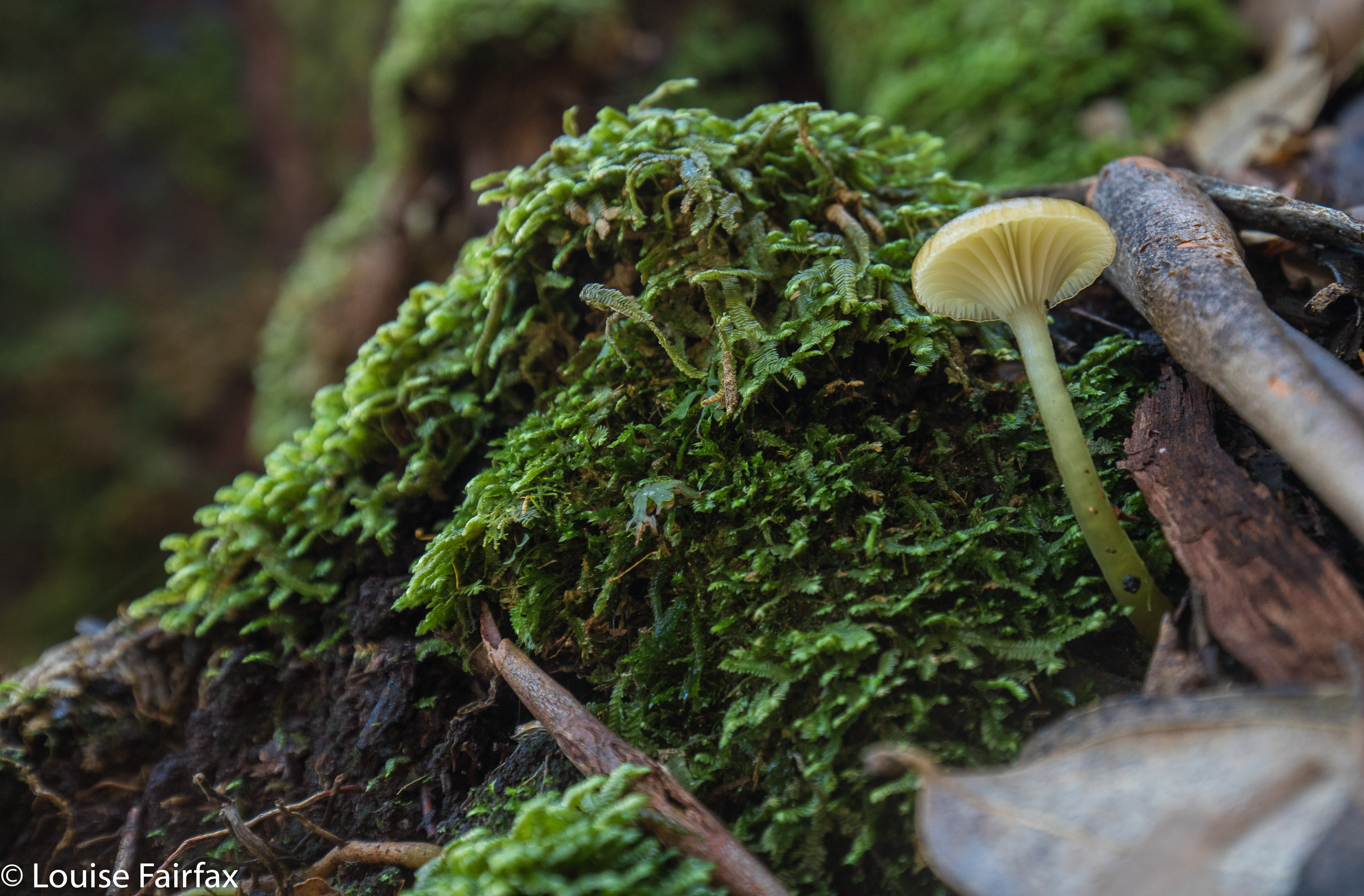
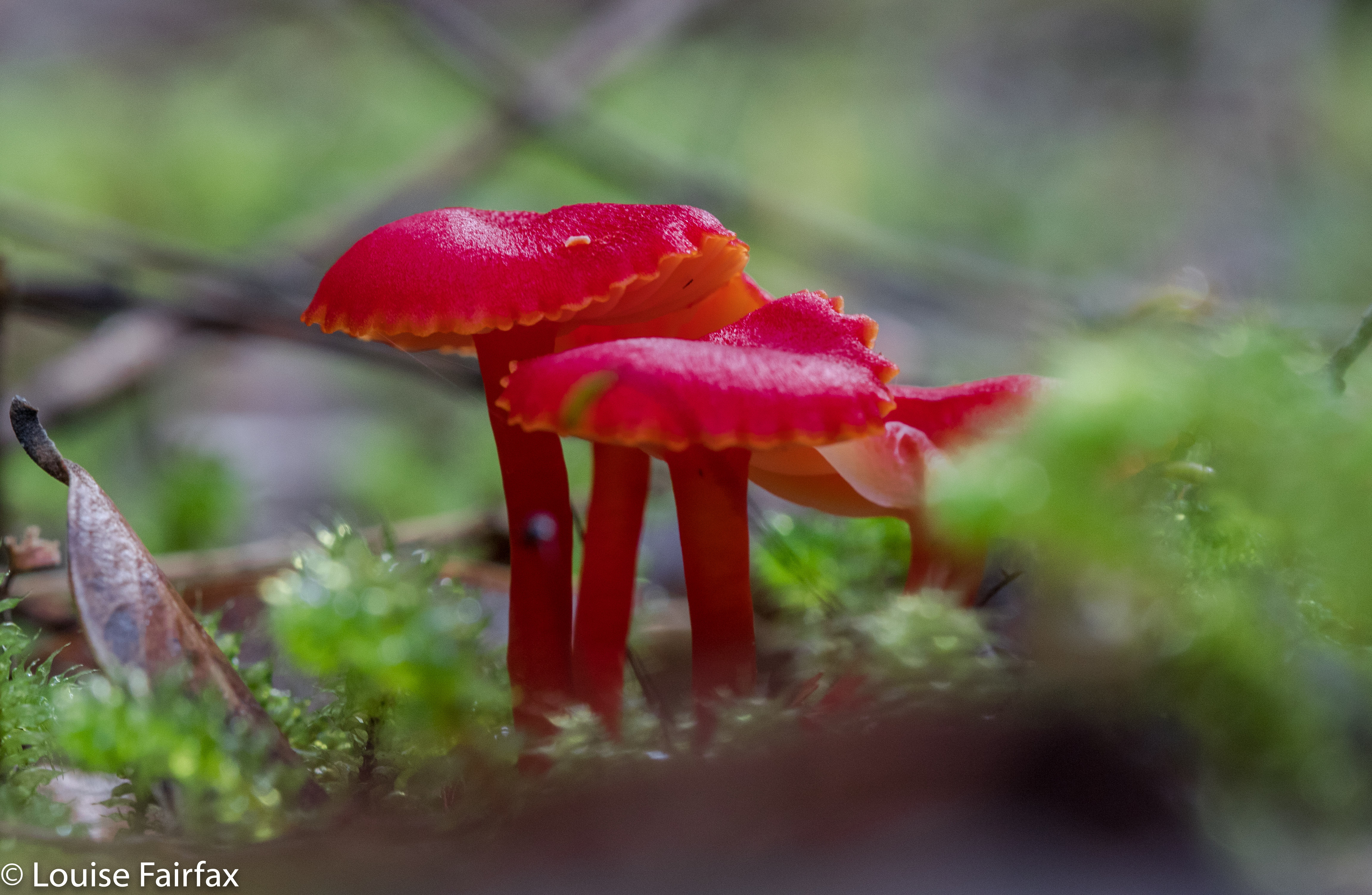
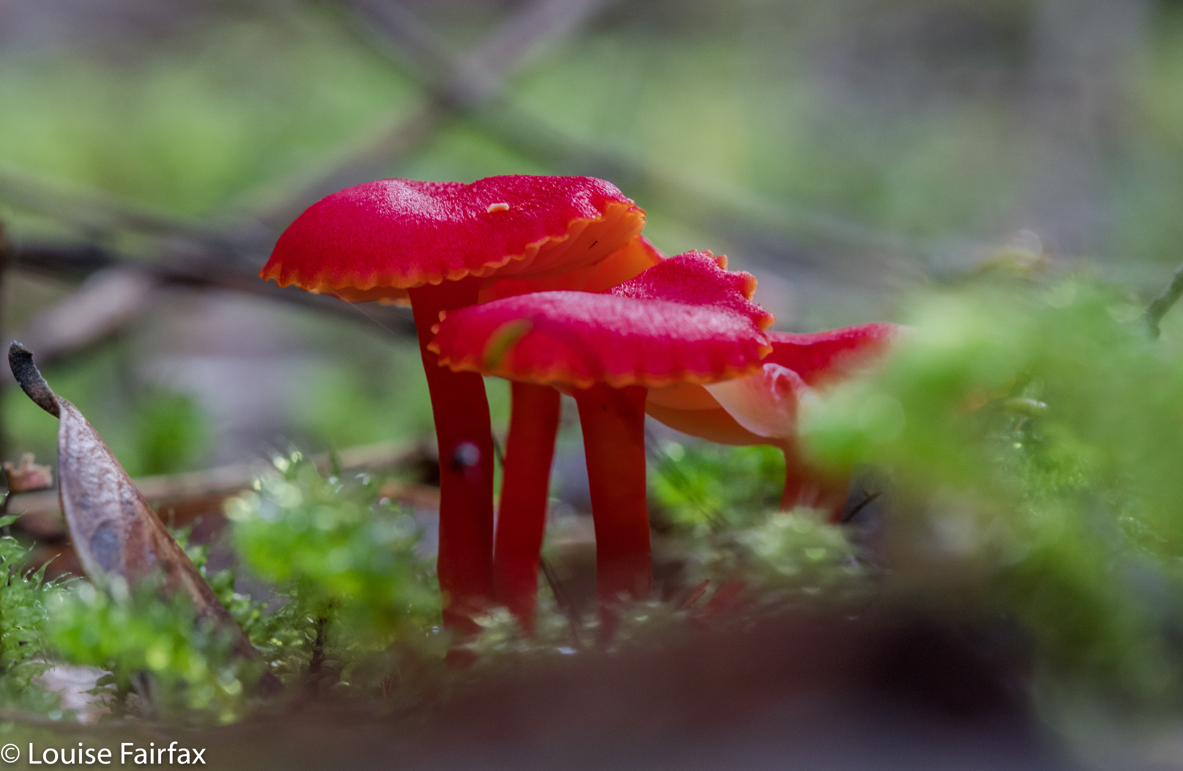
The road bit is quickly dispensed with, and then you’re into the gorgeous rainforest, which is totally distracting with its many and varied fungi. Depending on your level of concentration in the presence of such tantalising beauty, you will, after a short walk, hear the sound of rushing water. You have arrived. Some, fearing the monster’s appetite, are content to stay high. Others like me, opining that we’re too bony to be an enjoyable dinner, venture down into the water. Play it safe and keep in your comfort zone. The small-track walking part took me eleven minutes, but with the extra photography of fungi, perhaps an hour.


The track to the area is clear, but once there, if you go around in a lot of circles chasing fungi and mossy giants, the part at the end seems to have tapes everywhere, but not in a way that helps. I had to get out my gps and compass to see which general direction I needed, as I had become so immersed in fungi and moss that I lost my sense of direction, and I seemed surrounded by pink tapes. I could have spent another hour here, easily, but I noticed that the sun had lost its warmth, and the sky was getting rather dark. Whoops. I’d stayed here far, far longer than anticipated. I now had a big drive back to Launceston, and all the nearby food outlets were shut for the night. I just made the cut for Zeps at Campbelltown (closes 8 pm) for a cappuccino to keep me awake for the last leg home.


Tolkien Falls 2018 Apr

Tolkien Falls, Apr 2018.


I came upon the Tolkien Falls quite by chance. Perhaps it’s embarrassing to admit it, but I was trying to find Regnans Falls at the time. I was following instructions that said to go to a Big Bend, so I went to the biggest bendiest thing on the map past the Big Tree walk on the Styx Rd, parked and walked my way through beautiful forest up the stream. The instructions said the falls should be twenty-five minutes away. At twelve minutes, I found a waterfall. I’m normally fast, so was only vaguely perplexed. The falls were smaller than those in photos I’d seen, but they were taken in winter, and lots of waterways are not pumping at present, despite recent rain.


I did find footprints once there AND a pink tape. The instructions had mentioned pink tape, but I found none until I was at the falls. As with Regnans, you could climb up the right hand side (others had done so), and there was more tape there. In fact, I could see a line of tapes, so, being a curious person, I decided to follow them. They took me past “Gandalf’s Staff” and lots of fungi, and eventually, back to the road six minutes’ walk from where my car was. This return forest section took me fifteen and a half minutes (plus the six along the road). It made for a thirty-four minute circuit before you add in an hour for photography (falls and fungi).


The last thing I saw before joining the road was a sign that said “Tolkien Track”, so I have dubbed these the Tolkien Falls. I then tested the only other bend on offer, you know, just in case, and found the falls I had been looking for in the first place, but am very happy to have added these serendipitous falls to my growing collection of photos and Tasmanian waterfalls. Unlike the case with Regnans Falls, the map does inform you that there is a waterfall on this nameless (but now called by me Tolkien) creek.


If you continue along Styx Rd past the Big Tree Reserve Walk, past the sign that tells you there will be a boom gate and you’re to go back to Maydena without collecting $200, and past where the road splits (take the upper fork), then the next bend, a very short way (100 metres?) further on is yours. Walk up the road for six minutes until you see a cairn and pink tapes on the right, and a path leading into the forest. A little sign in the forest will tell you it’s the Tolkien Track. Enjoy. (Then you can do the Big Tree Walk, and the Styx River meander, by which time you’ll be needing some food.) (To get to the Styx Rd, turn right a few kms past Maydena. There’s a big sign.)

Regnans Falls 2018 Apr

Regnans Falls, Apr 2018


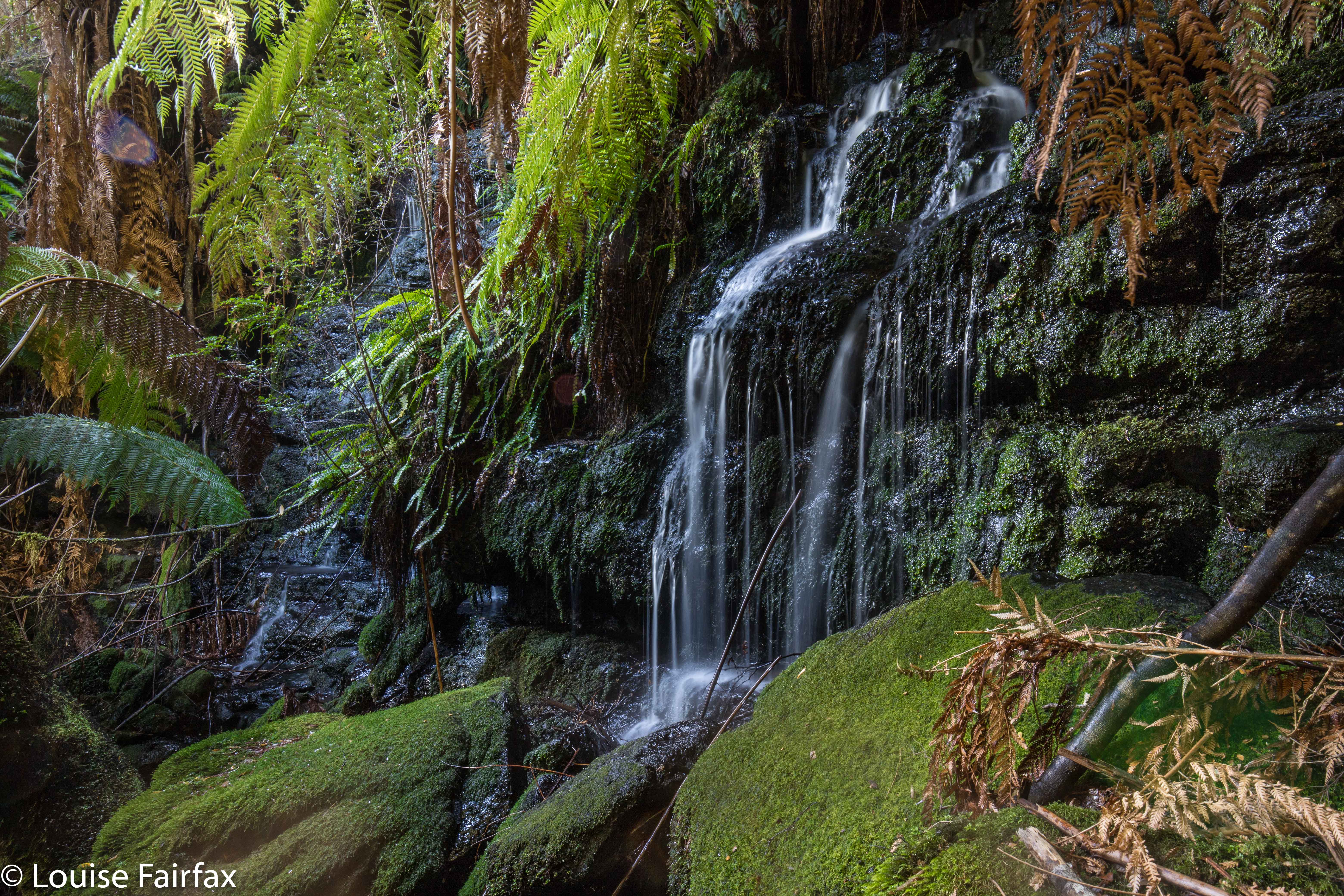
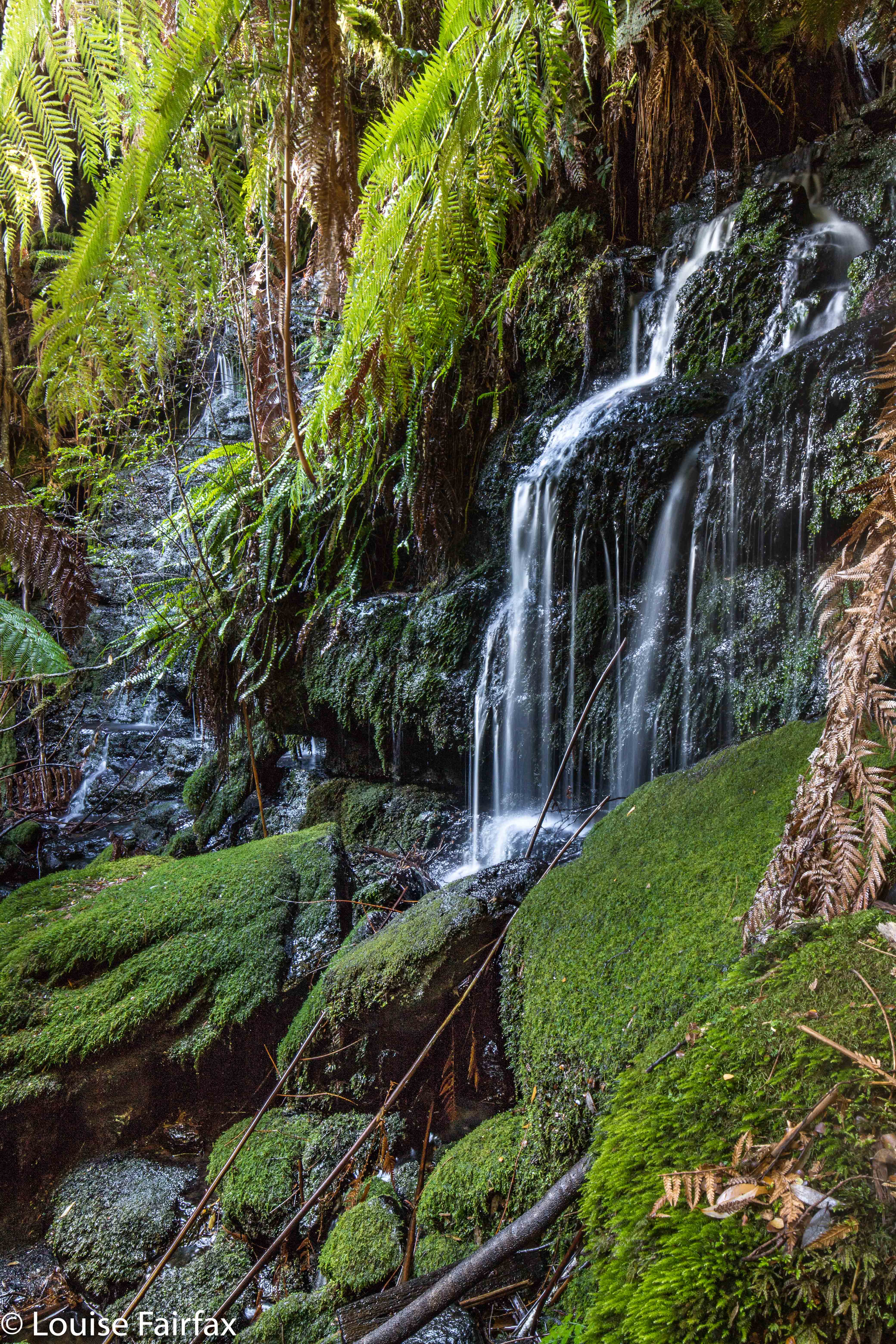
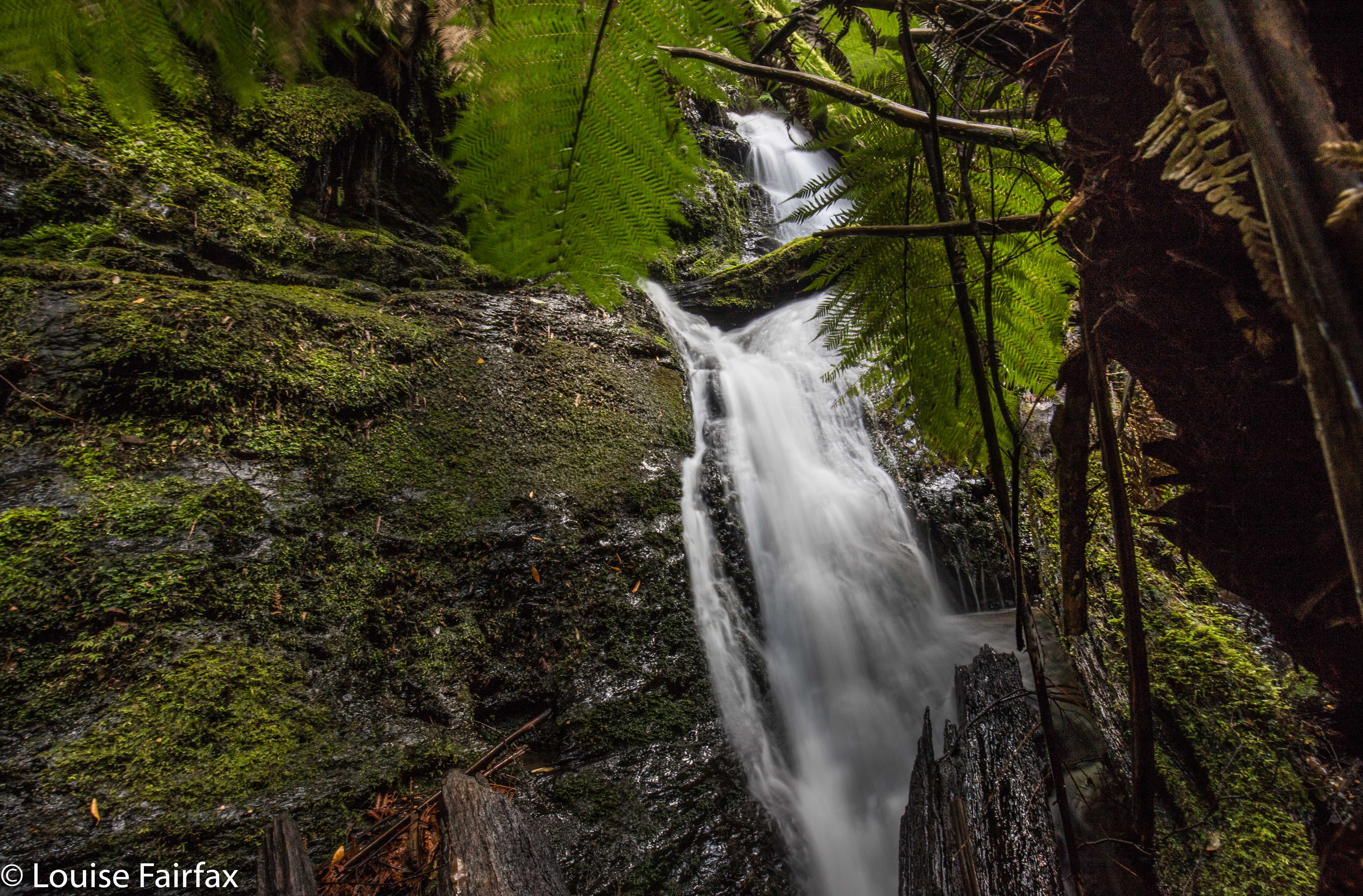
Main Regnans Falls
Regnans Falls could well be dubbed Mystery Falls, for although they occur near many specimens of Eucalyptus regnans, the mystery surrounding them is even greater than the giant trees. So much are they a mystery to Google, that every time you type Regnans, google corrects you to Regnant. The Waterfalls of Tasmania site doesn’t list them; the wikipedia site of all the waterfalls on Tasmania’s maps doesn’t list them. Why? Because they’re not on any maps. So how does one know they’re “there” (wherever “there” might be) and how on earth does one find them?? Good question. Nobody can even tell you the name of the creek they’re on, as that doesn’t have a name either!

One knows they are there, as a little book published quite a while ago (Thirty Five Walks to Waterfalls in Tasmania by Raelene and Rod Newell) lists them, along with instructions on how to get there, and Caedence Kueper, grand explorer (and good photographer), decided to get there and video his findings.

My problem was that he said to go to the Big Bend in the Styx Valley, and begin from there. Google and List Maps both fail to acknowledge the existence of this Big Bend. Drew a blank. OK, then; he says it’s just past the Big Tree Walk. Ah. Easy? No. Where is that? More googling, but to no avail. The first Big Tree walk listed in google is in the Blue Tier. The second is at Tarraleah. The “Big Tree Walk”, as such (and the one I was looking for) does not occur on googles’s first page of listings, and I gave up that method of attack at one page deep. List Maps says the Big Tree Walk does not exist at all. One gathers it is on the Styx Road (in his video, Caedence says he is in the Styx Valley, so I took a punt), but where? How far along? More web silence. Unless you actually know what Caedence is talking about, you remain mystified. Coming from the north, I am not really familiar with this area, so didn’t feel violently confident. I did, however, feel violently curious, so off I set. Better pack the PLB in case I come a cropper. I was expecting no helpful sign posts, and was hoping I could sort out where to stop my car. If you follow this blog, you’ll know that I actually landed at the Tolkien Falls instead, when trying to follow the instructions. However, in the end and with perseverance, I got there.

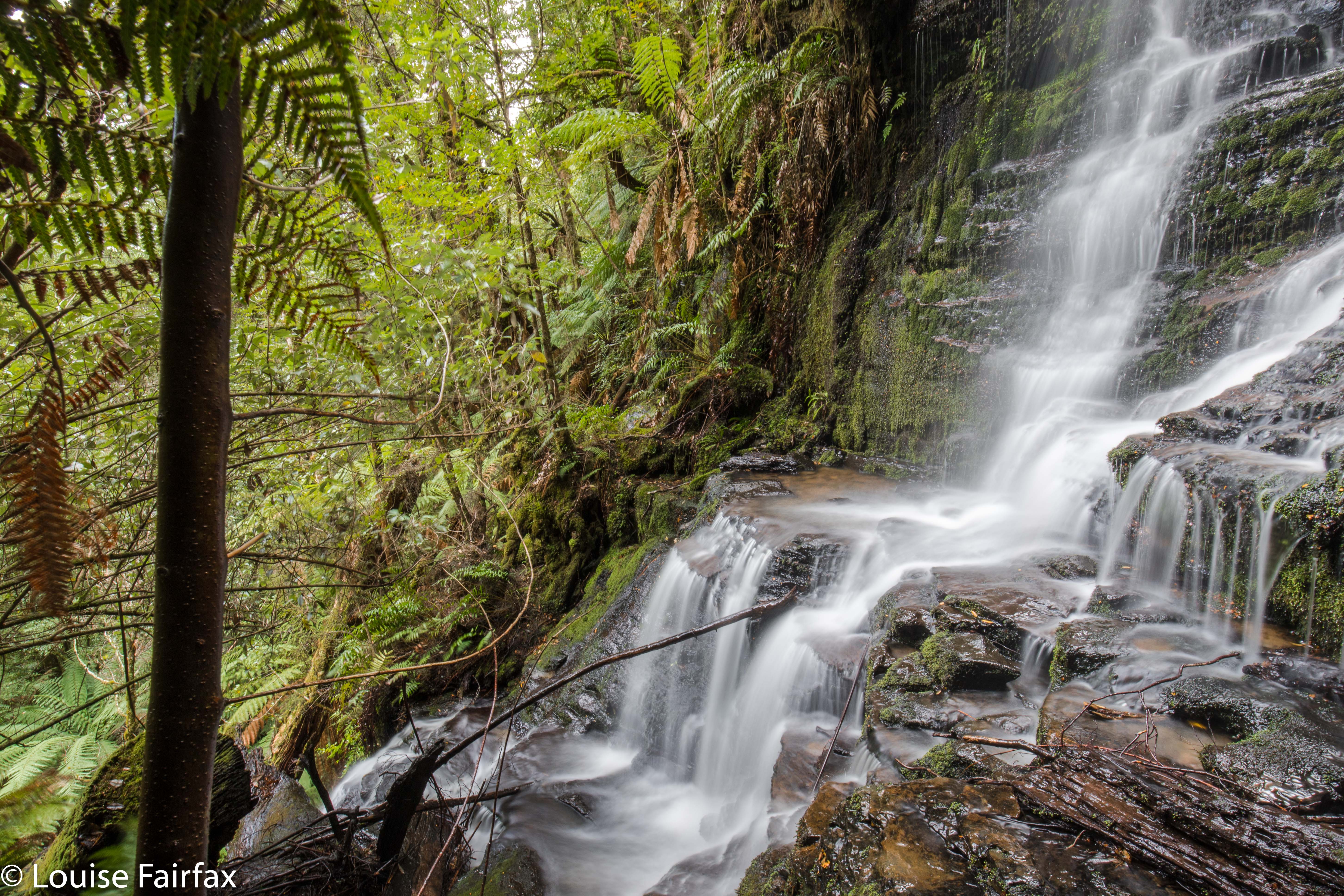
(Below the falls)
One has to go right on the main road heading west from Maydena in order to actually go left (south); one goes under the road, and is then offered the Styx Road as one of the two alternatives. Drive along this for quite a way (about half an hour). The Big Tree Forest Reserve becomes visible. Beyond that is a bend and beyond that, another. The second will get you (if you walk up the road for six minutes) to a well-taped track to the beautiful Tolkien Falls). The first one will have you do a bushbash through very fragile forest with only occasional ribbons leading through a maze of fallen timber in one spot to Regnans. If you don’t know how to bushbash AND tread incredibly lightly at the same time, leaving no trace, please do not visit Regnans. It is holy territory and needs to remain so. Everything crumbles in there it is so untrampled, so you need excellent balance or you’ll topple. Also, it has no human rubbish from selfish tourists. Long may this remain the case.


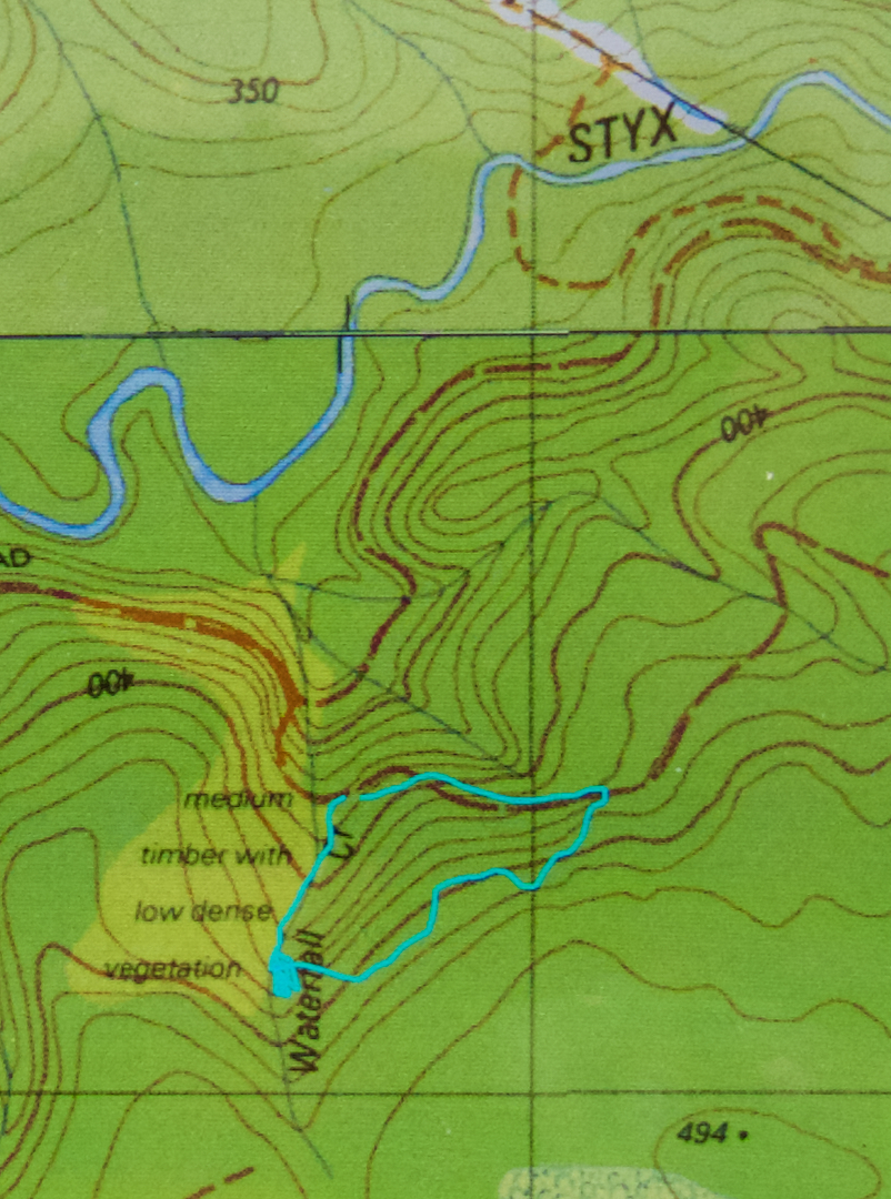
No, I did not do an odd squiggle up the spur. I guess the canopy is so dense the signals got confused.

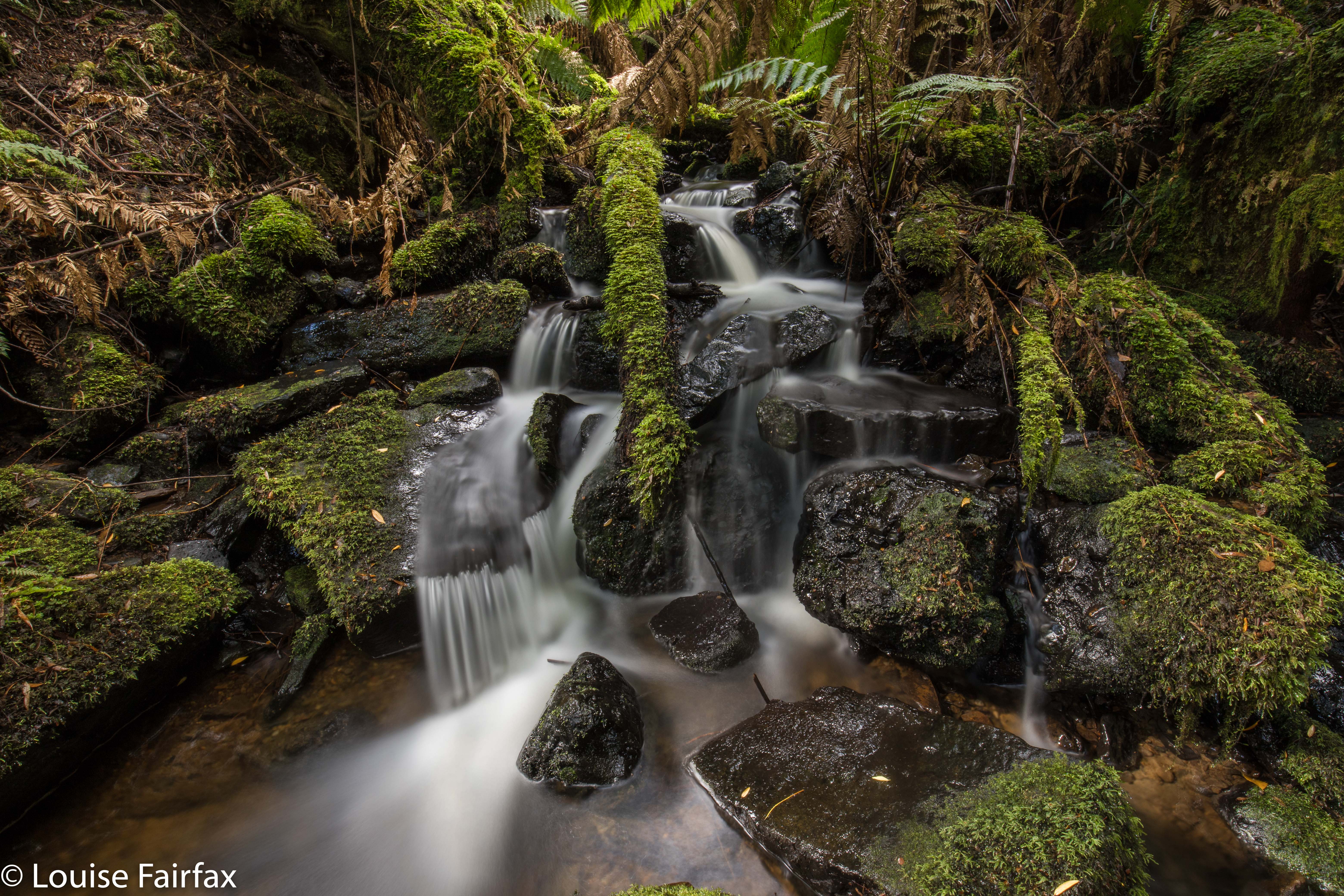
Ironbark Falls, Nevada Creek Falls, Constable Ck Falls 2018

Ironbark Falls, Nevada Creek Falls and Constable Creek Falls. Apr 2018.


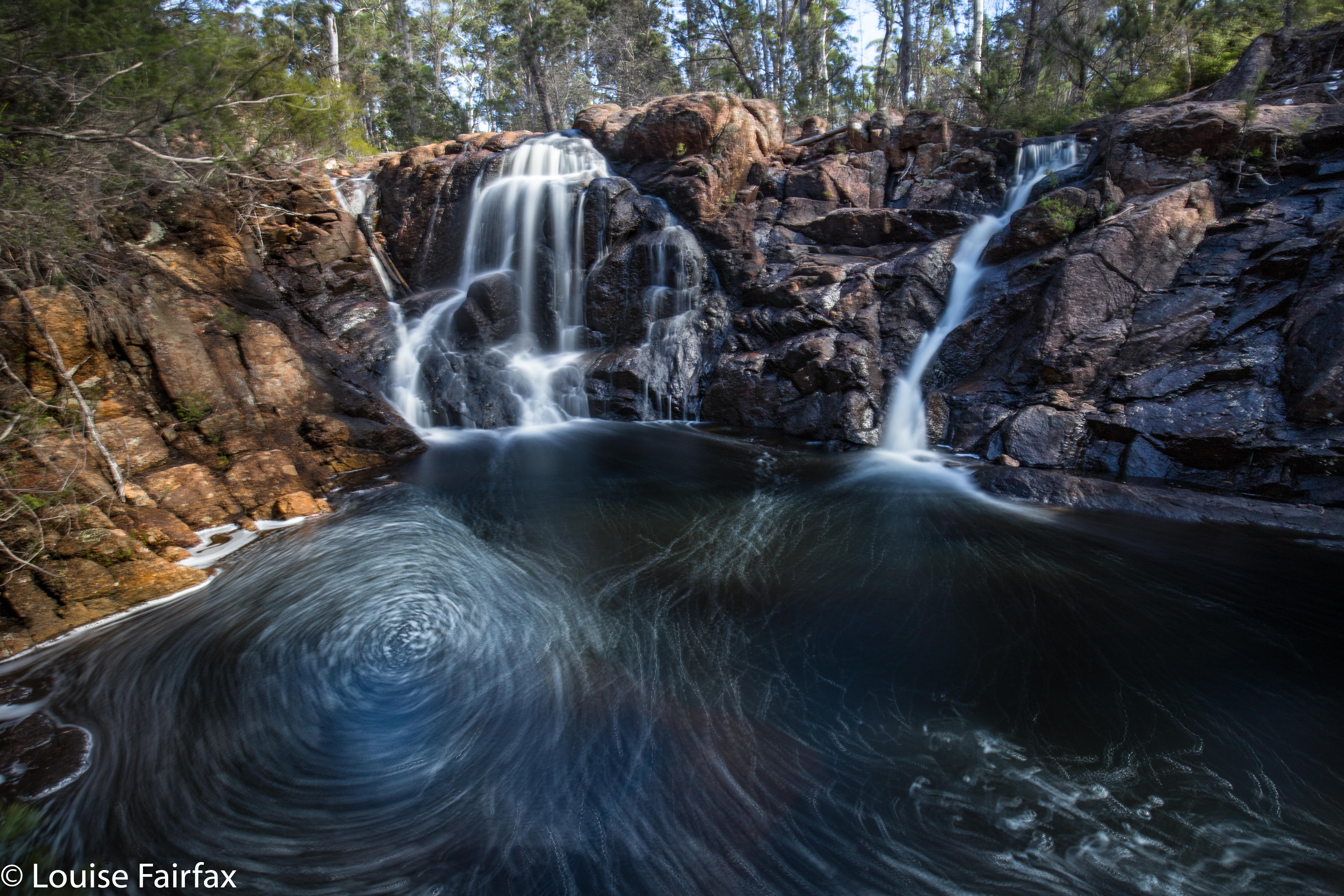
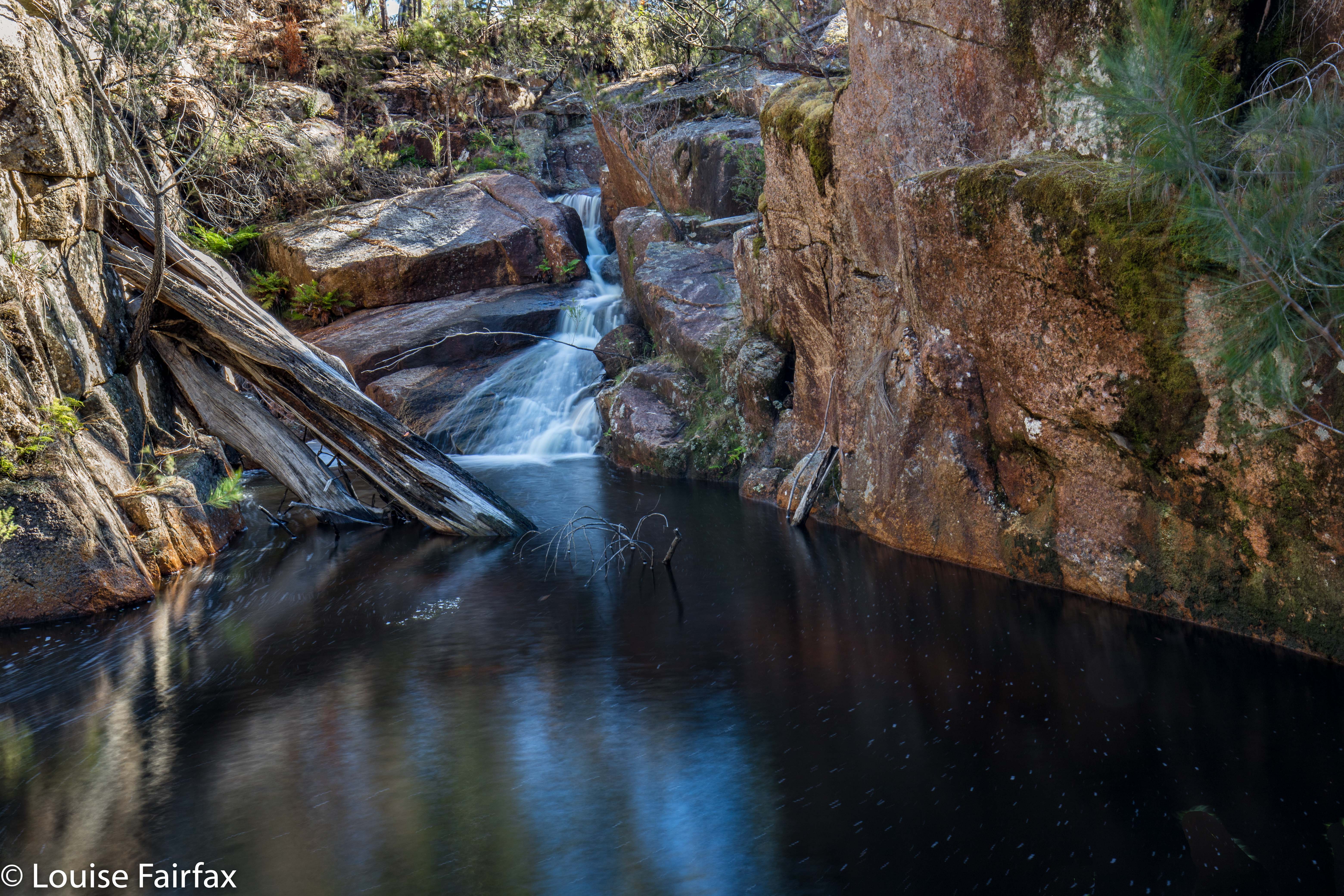
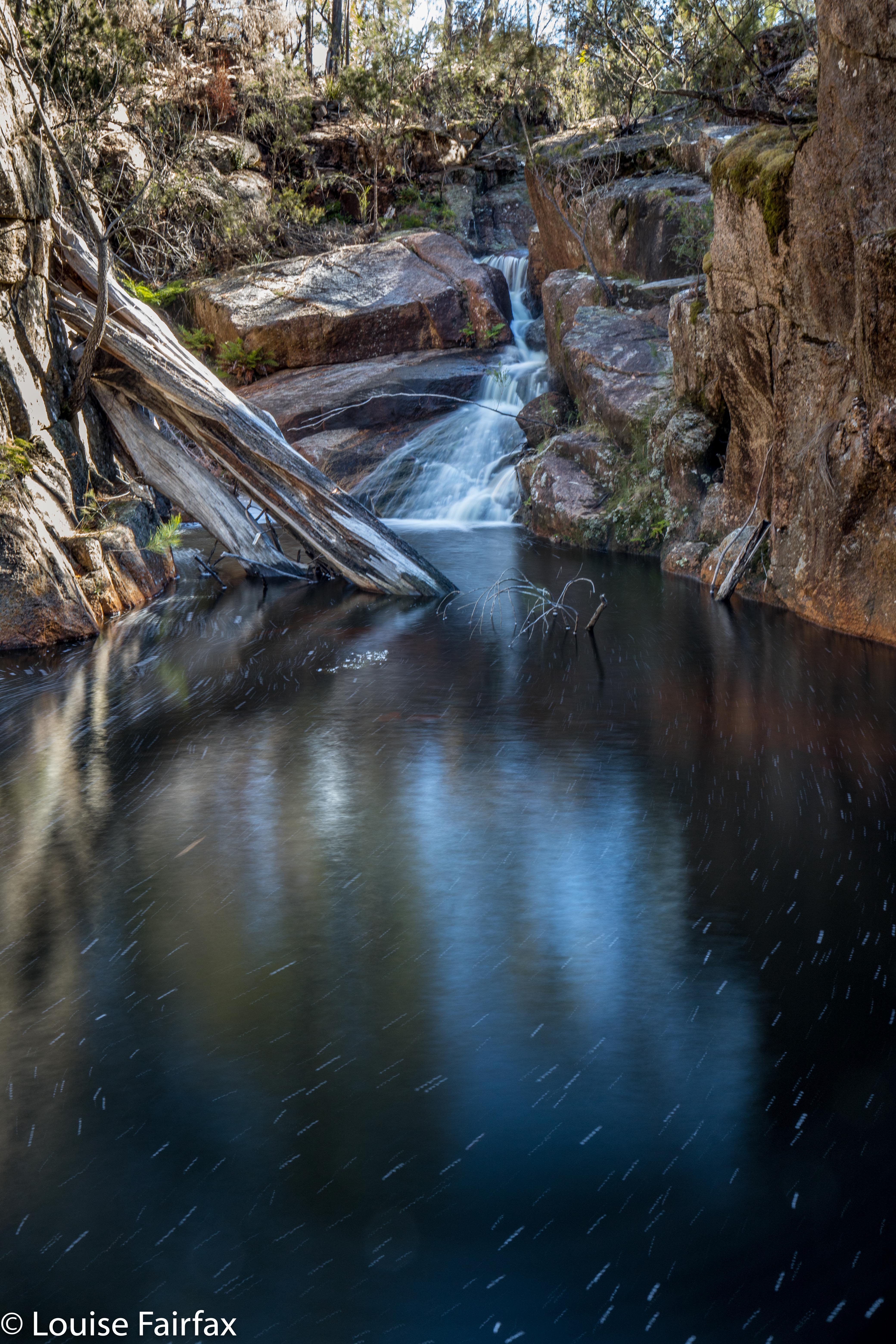
Ironbark Falls
After my huge waterfall bagging spree of Friday, it seemed rather greedy to be back at it again on Sunday, but Craig and I had agreed to go a-bagging again this weekend: the question was, where? We had our goal all worked out, but the weather was so utterly appalling there that I suggested we do the dry thing and explore falls on the east coast instead (Ironbark Falls, Nevada Creek Falls and Constable Falls). Craig seemed to be perfectly content with the idea of getting muddy and saturated, possibly freezing, and having continual droplets on his lens, but, in deference to my wussiness and weakness, agreed to forego these pleasures and travel to where the sun was. I hope he didn’t regret this consent too much. While everyone else was huddling from snow squalls by the fire, we were calling on clouds to come to our aid and cover the sun for a moment or two. While others were worried about hypothermia this weekend, we got sunburnt.


To add to the pleasure of the day, Bec (Craig’s wife) and Tessa (the faithful and fancy dog waterfall bagger) were going to join us. Waterfalls, here we come. The first on our list was Ironbark Falls, that being the only one of the three to be given the glory of an official name. I drove down Argonaut Rd, forked left onto Trafalgar, and continued along it past its official end onto what is then called Transit Rd. We had no idea how this road would be, but were all prepared to walk the whole way if necessary. There were a few ruts to negotiate, but nothing to overly tax my Subaru Forester, and we arrived safely at the spot we wanted.


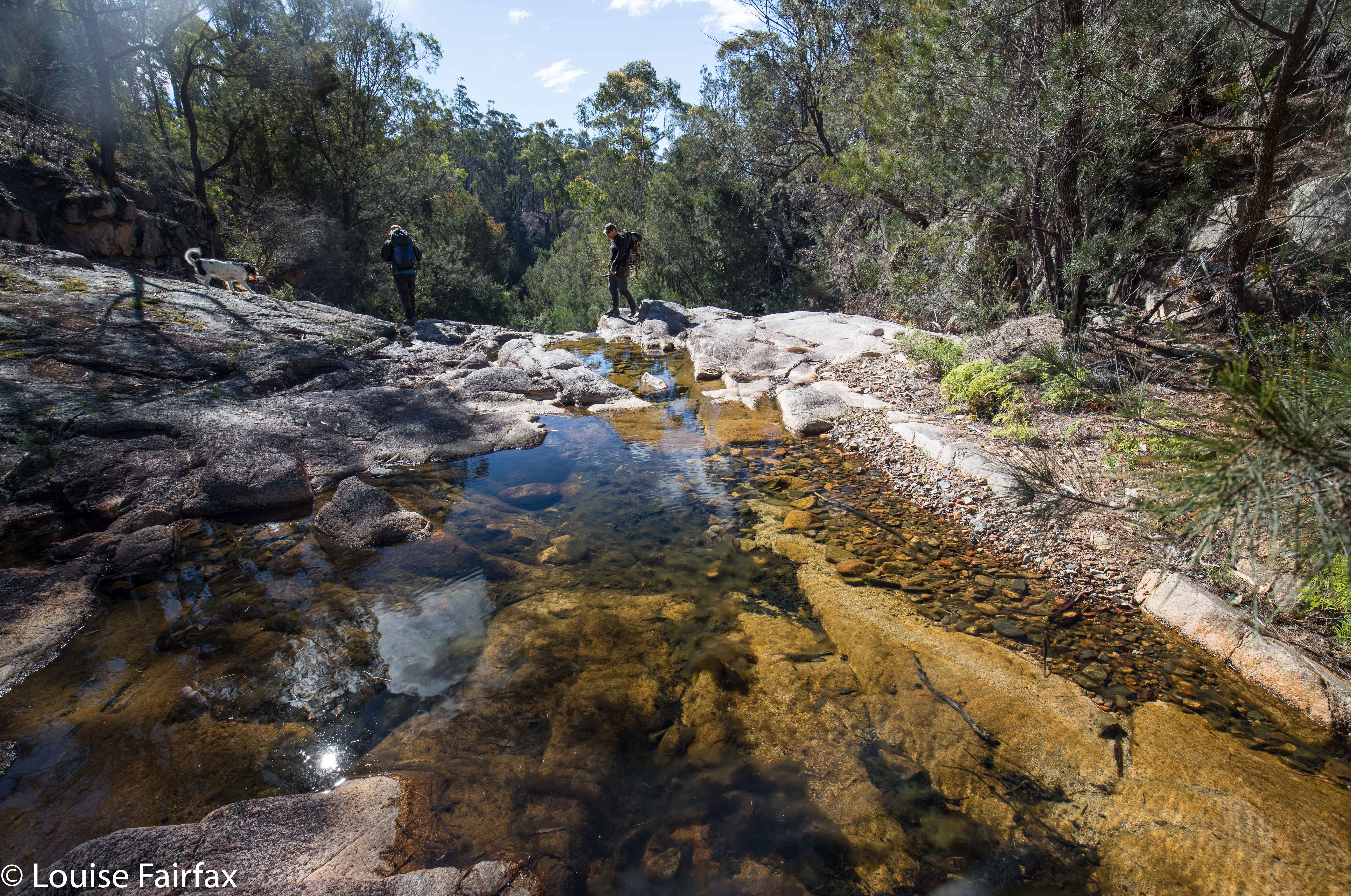
The walk from the car to the falls was sheer delight, the forest being as open as could possibly be, with attractive tors piled on top of each other adding heaps of interest. This type of coastal granite has been the site of many orienteering competitions in my past life, and just being there made me very happy. The walk to the falls did not take long, but was long enough to be pleasing (a bit under twenty minutes). On the list map, the creek looks like a lake at this point, so I was curious to see what it would look like. There is a very wide area of rock, with gently flowing water over it. It was lovely, and had a real “northern territory” feel to it. If you can’t afford the NT, then just go to St Helens. After photographing, we had lunch on the rocks (hoping for a cloud or two to come our way). Tessa had multiple swims, and made up for the lack of rain on the coast by shaking herself regularly near Craig and Bec.


Nevada Creek Falls
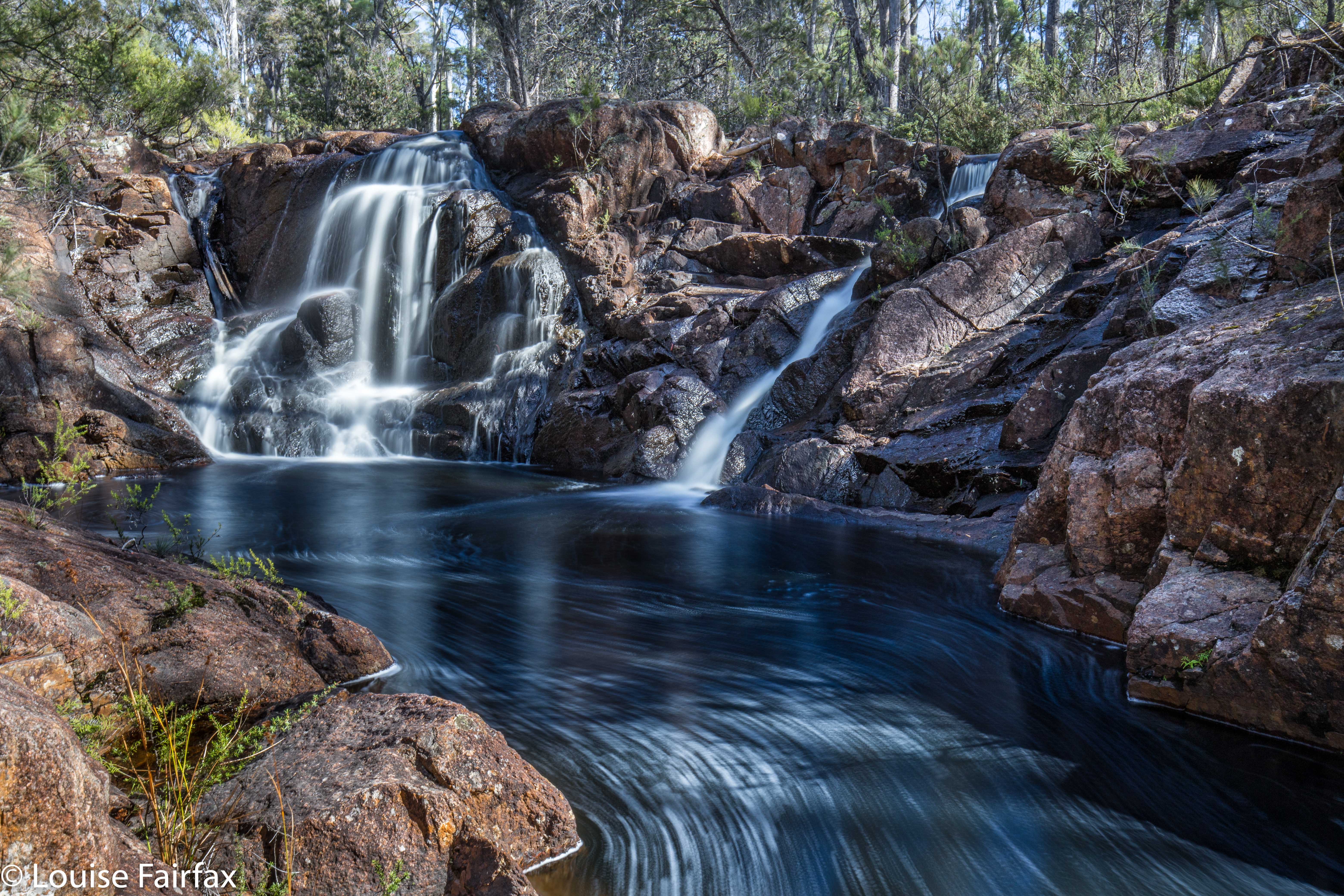
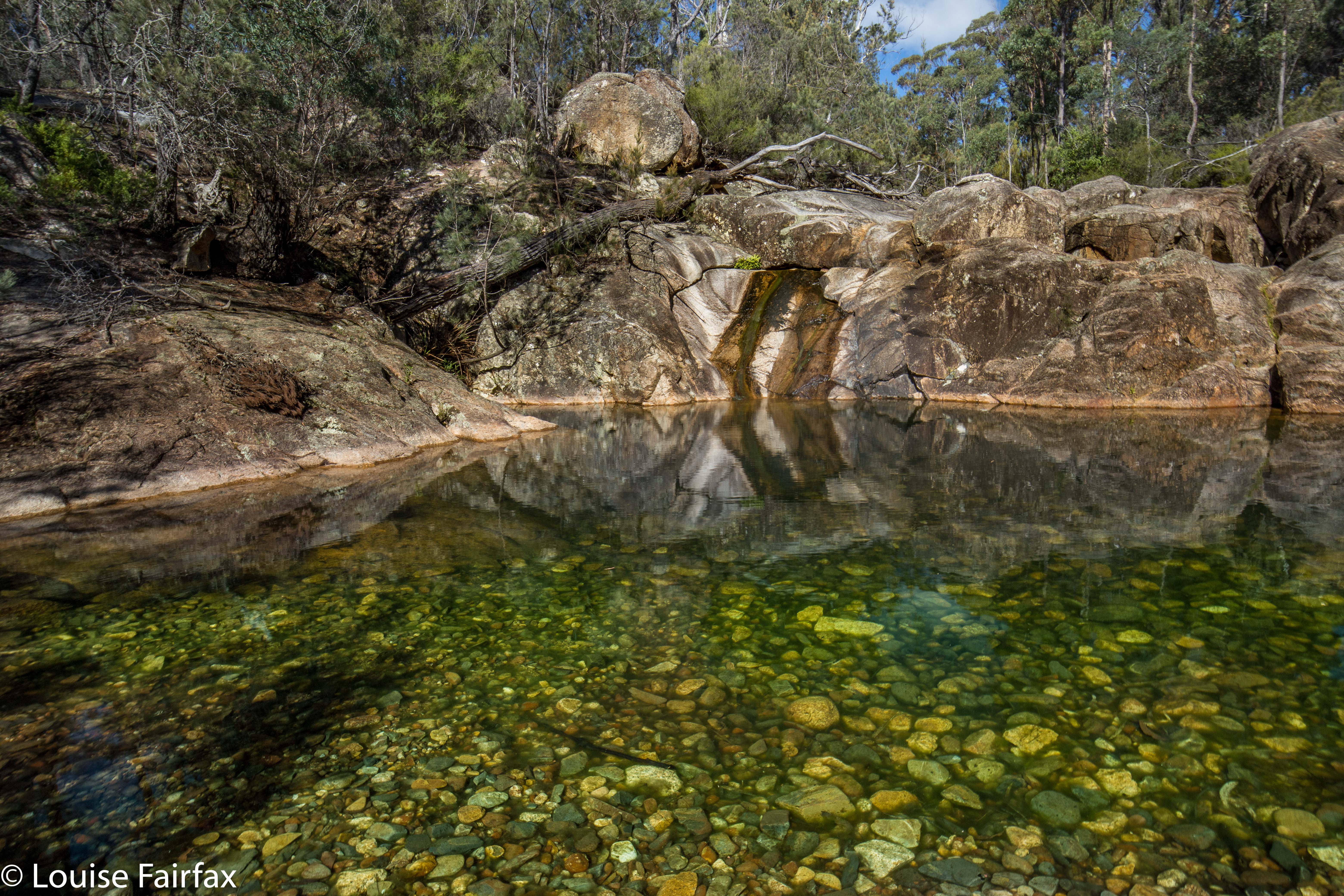
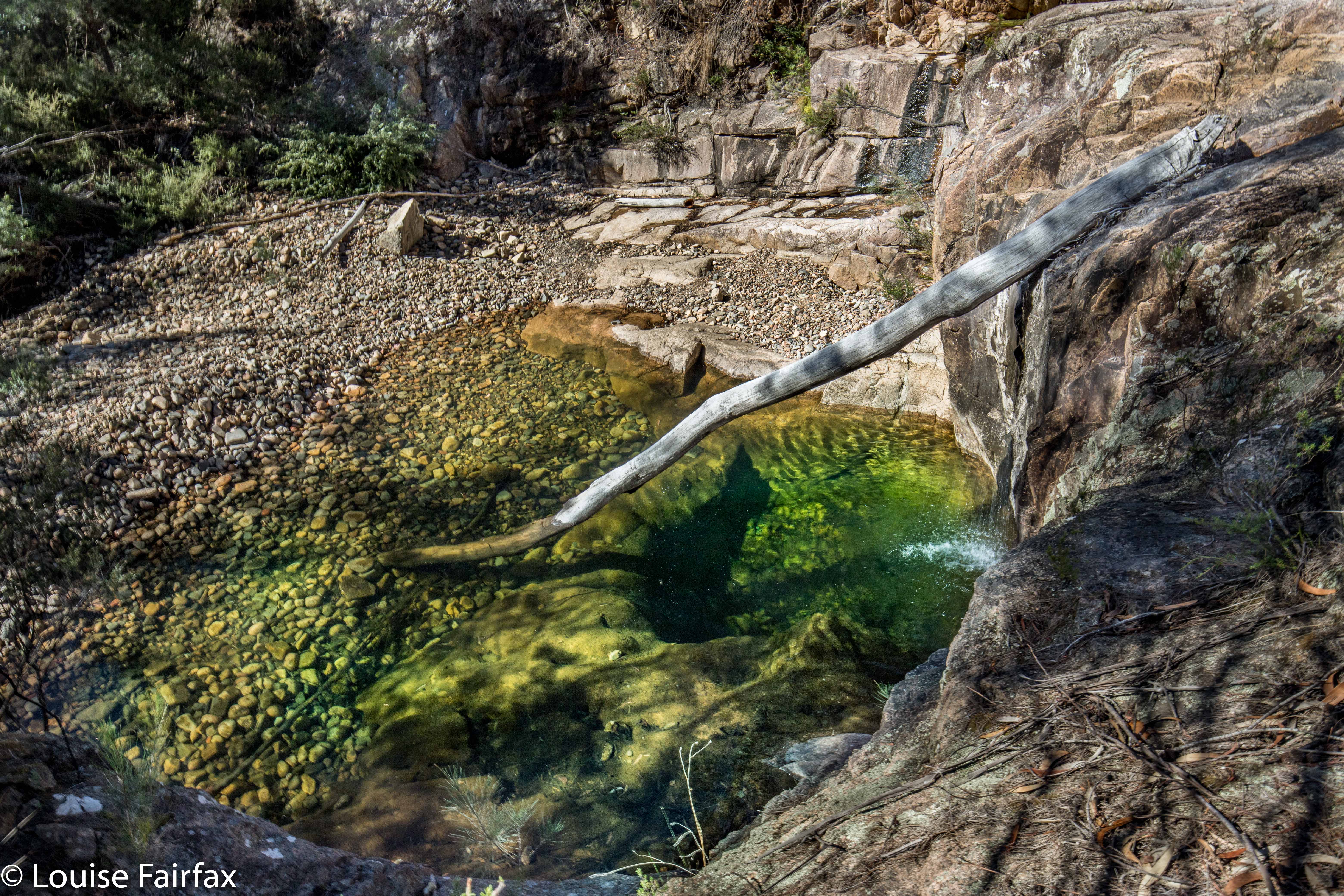
The next item on the agenda was a nameless fall marked on the maps, situated on a neighbouring creek, which Craig thus dubbed Nevada Creek Falls. We took less than ten minutes to go up over the spur and down to these beauties. These falls had a kind of cascade above, and then a bigger fall below. Both cascade and fall had a pool at the base of the most magnificent green, and perfect clarity. These pools were very inviting for a swim.


Our final goal was another nameless falls on the map, which, again using a practical, descriptive name, we called Constable Creek Falls. These were also attractive, and had a quite fascinating mini-gorge above the falls.


Constable Creek Falls
On the way home, we once more found an excellent place to have coffee (in St Helens) – a tiny little place opposite Banjos. It was too late for caffein: I tested them out with a small but strong decaf cappuccino with almond milk, and they came to the full party. Delicious. The raspberry muffins were moist and delicious. I’ll be back.


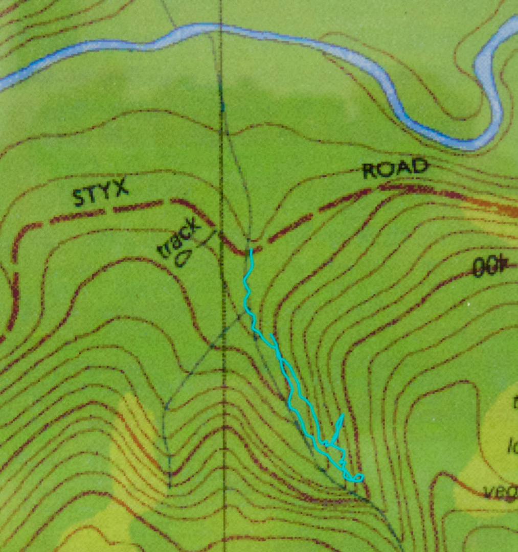
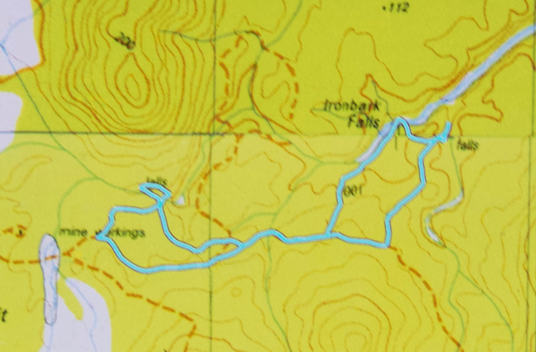
Our route. We parked at the mine workings far west (which was as far as I was comfy taking the car). We went directly to Ironbark, then to the falls east of there on neighbouring Nevada Creek. From there, we followed the spur back southish, then west along the road until it was time to head bush and proceed to the third and final falls on Constable creek, the most westerly ones there, NE of the mine workings where the car was. It was then a short amble SW back to the car. This is a gorgeous circuit: highly recommended.