Harridge Falls 2018 Apr

Harridge Falls Apr 2018
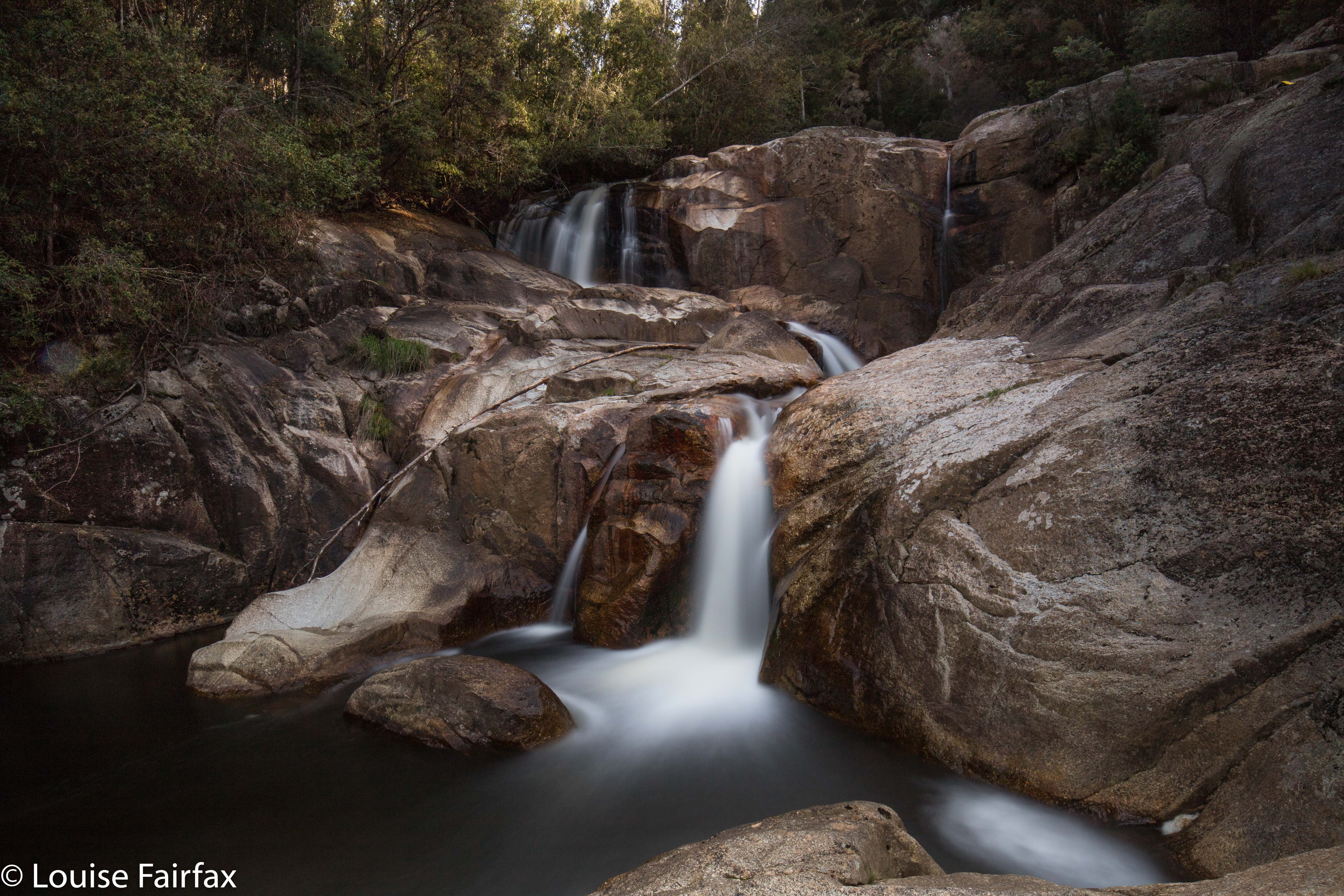

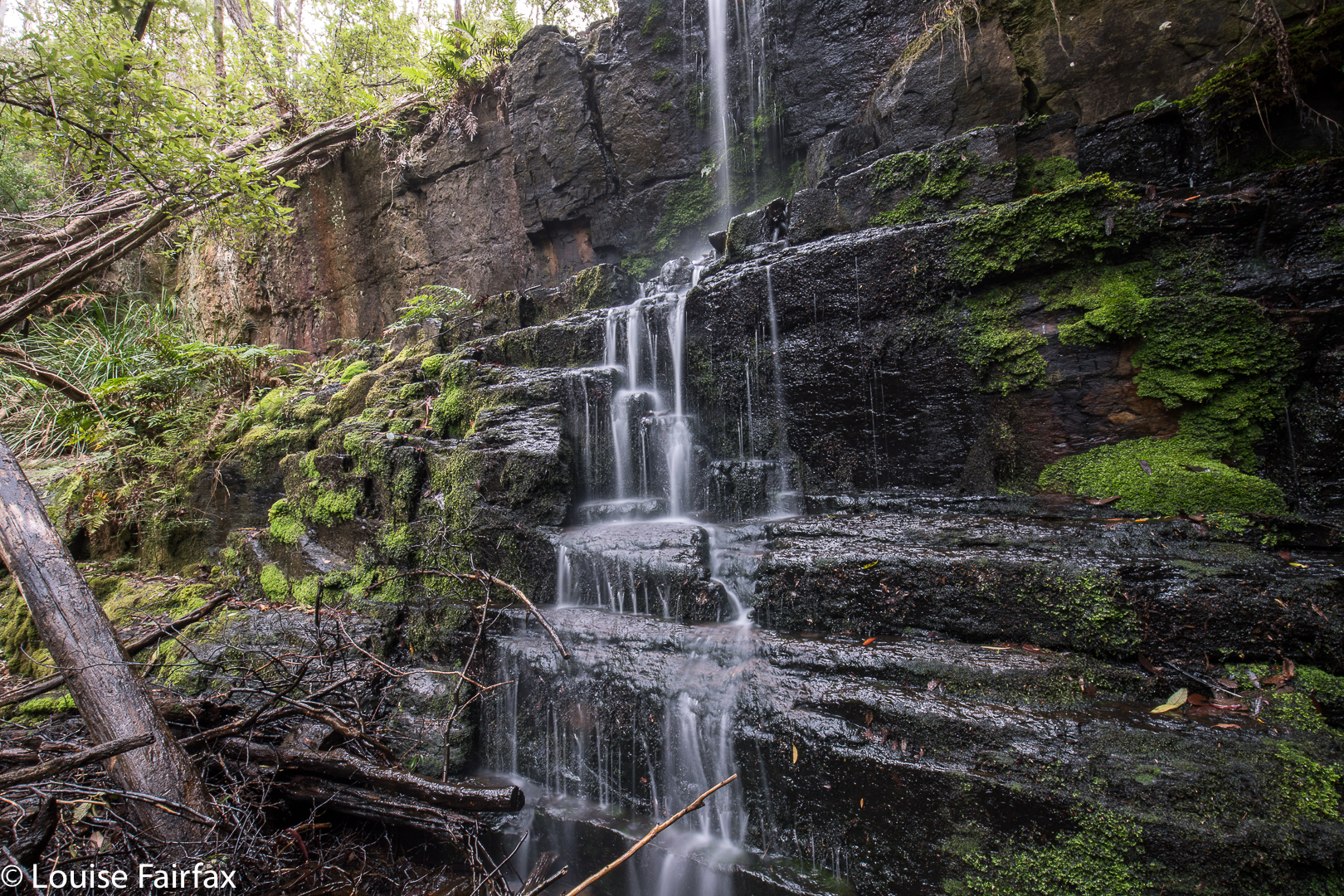
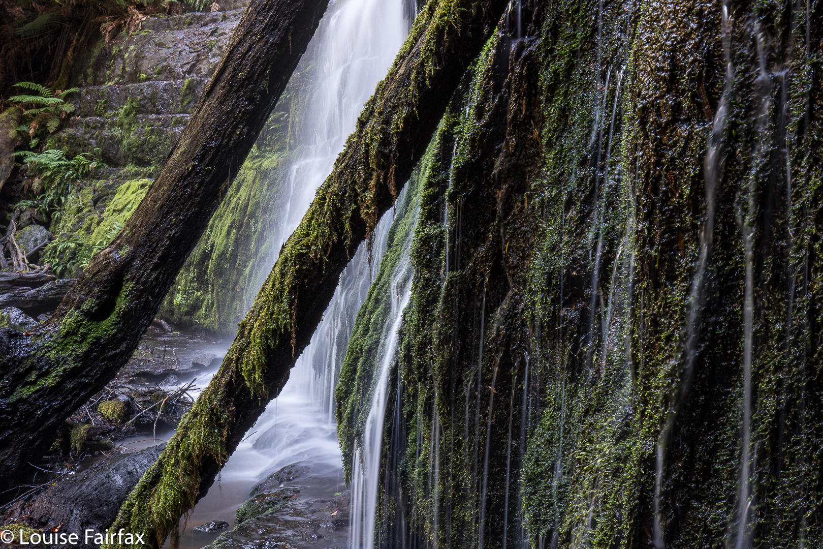
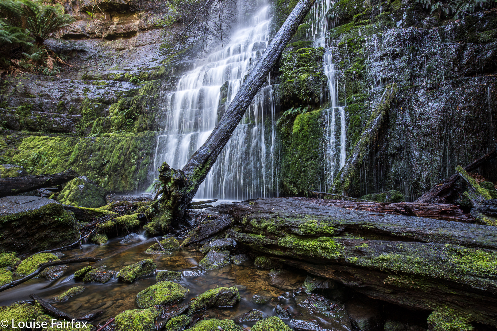
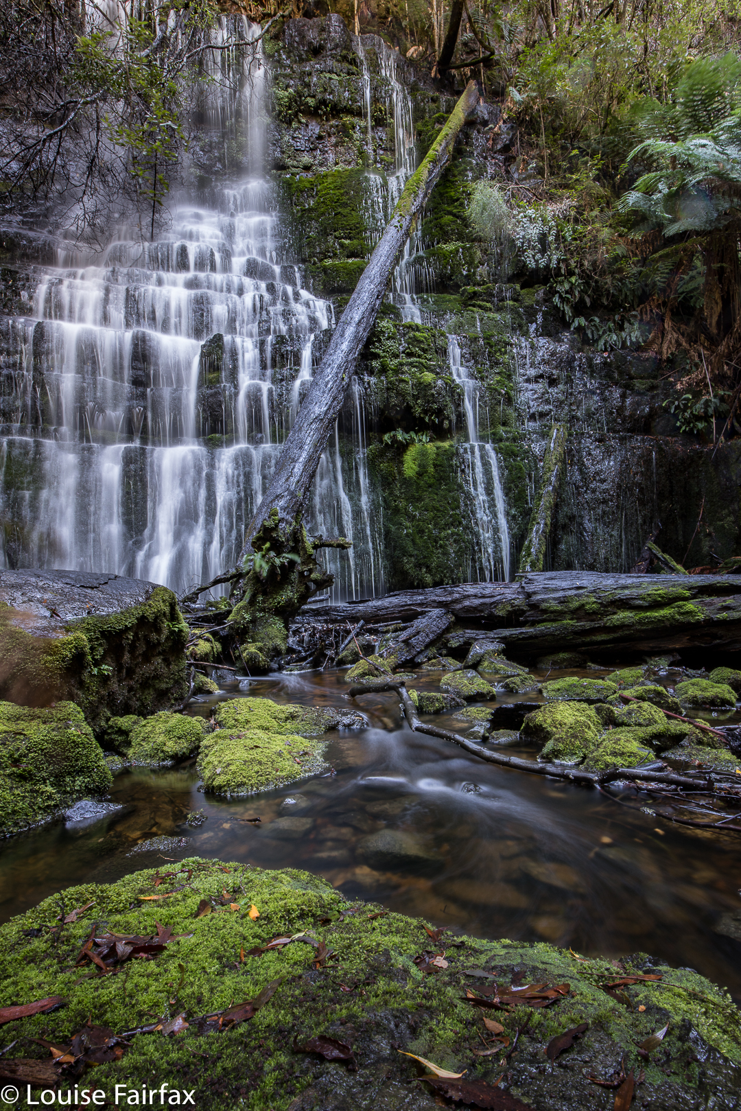
Harridge Falls, tacked onto the end of our Cashs Falls mission, were a kind of consolation prize: at least I wouldn’t go home totally empty handed from our expedition. Craig kindly drove the extra distance to enable this.

As we both believe that bushwalking is best combined with coffee drinking and cake eating, we stopped at Crank It Cafe in Derby on our way through. In both directions passing through Derby, cycling-gear clad people of all ages were drinking coffee, coming in or out of the supermarket or parking their bikes preparatory to doing the above. The place seemed abustle with cyclists, which is fabulous to see. What a wonderful use of our glorious rainforest.
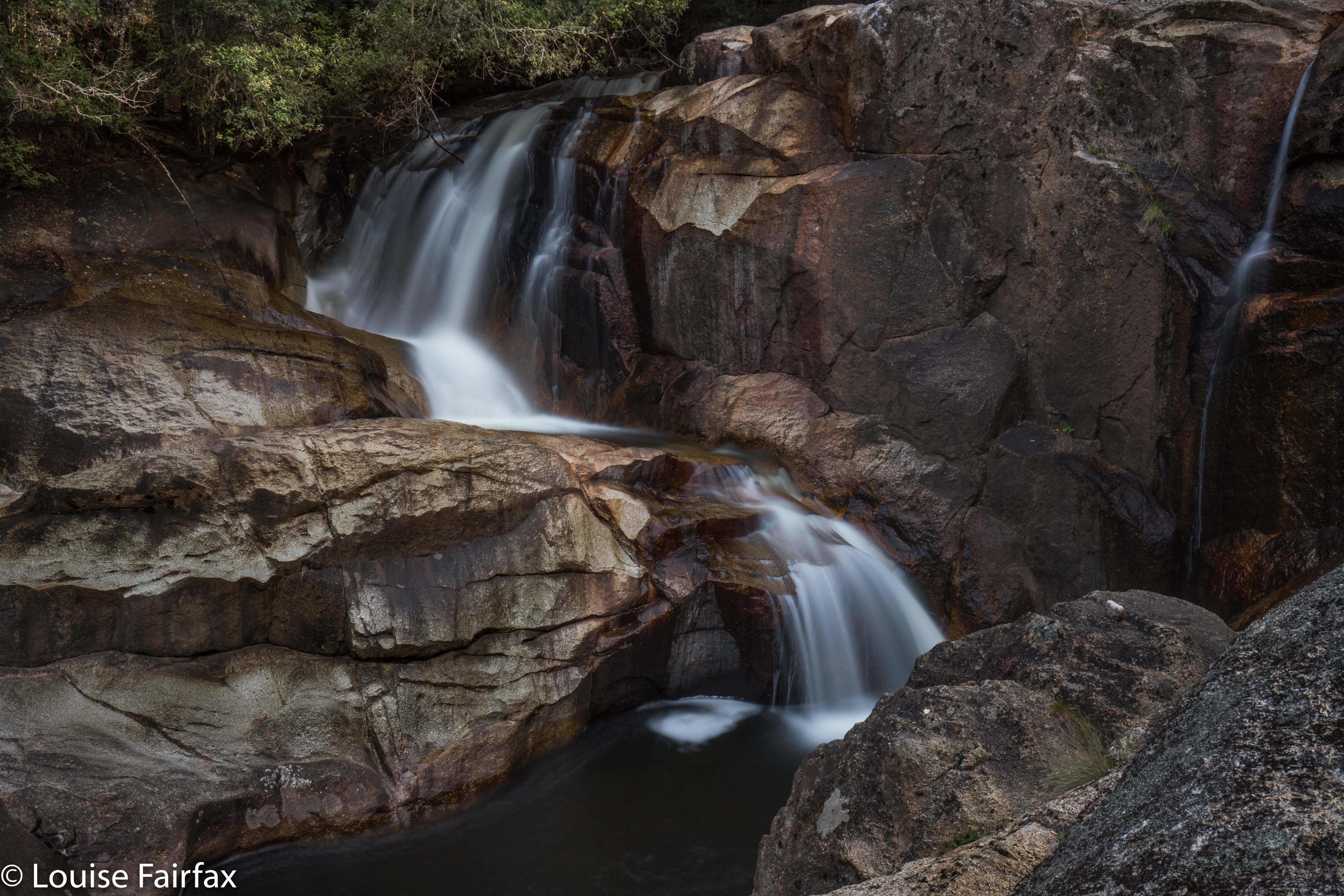

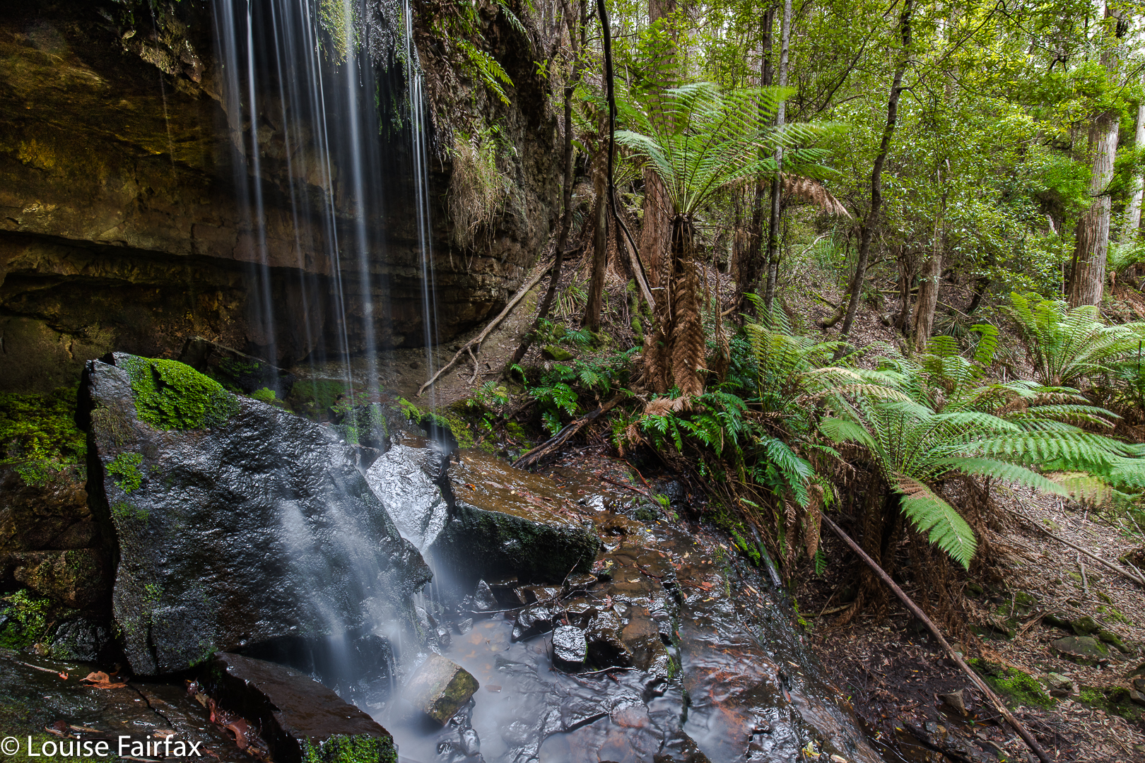
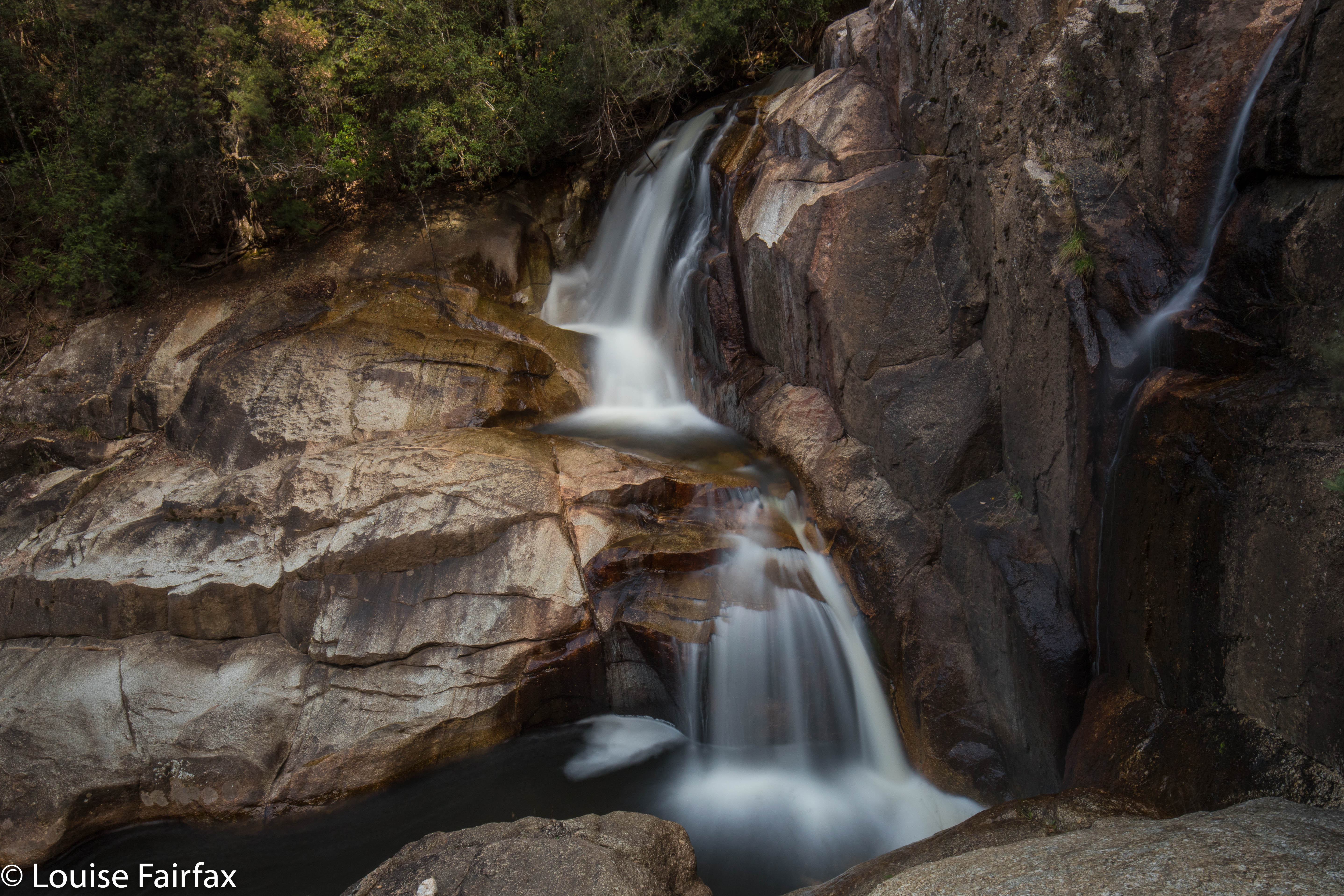
The Harridge Falls walk was only very short, but that doesn’t matter: we’d had our exercise at Cashs. The flow was not full strength, but, as Craig pointed out, that gave us more freedom to go places that would be covered were the volume of water its winter fullness. Even so, I was very wary of the sloping granite. I was more worried about my camera equipment than my body, but the effect is the same in deterring too many adventurous leaps.

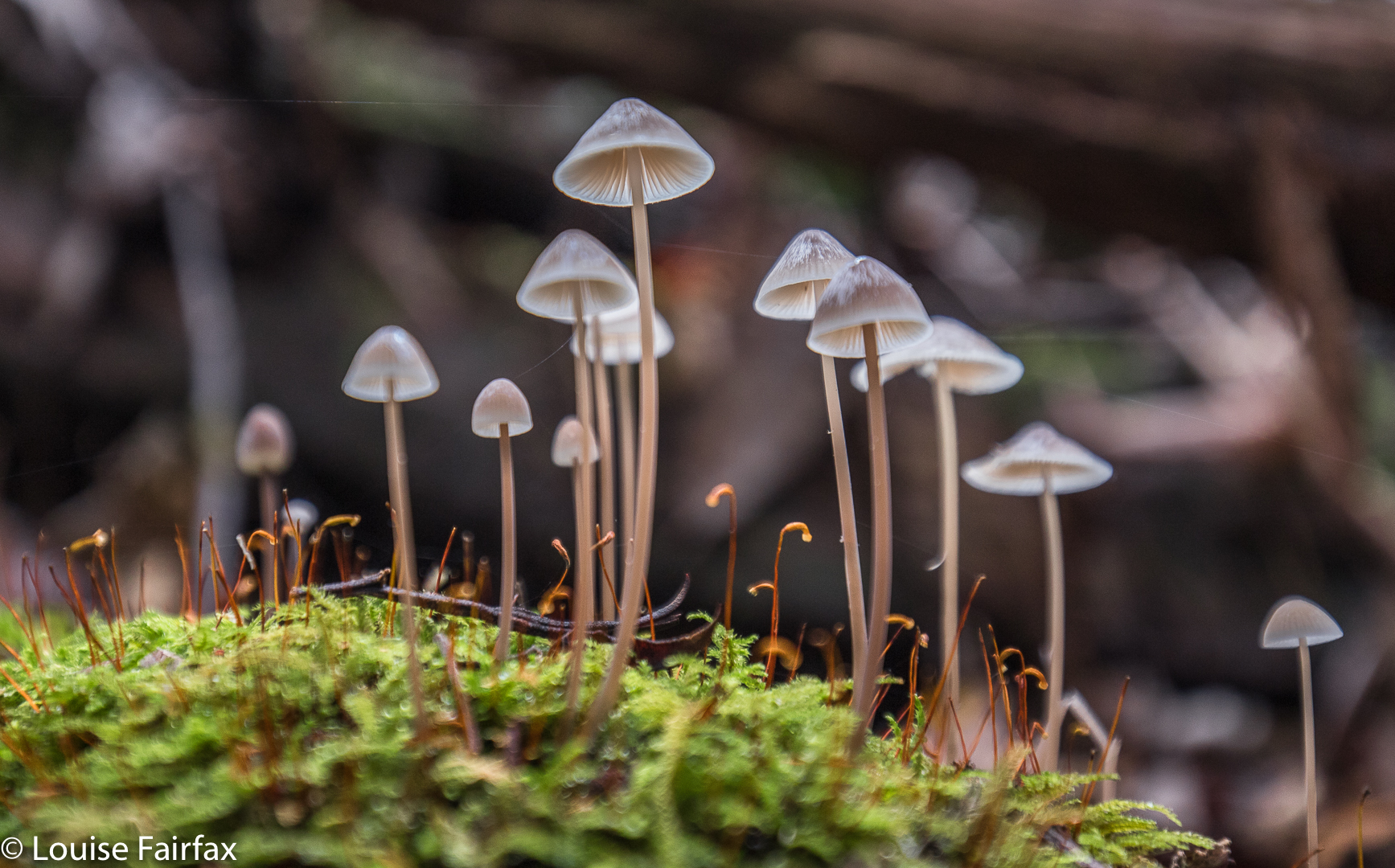
As with Cashs Falls, the fungi were starting to appear for the autumn, and provided colour and interest to the forest floor. Unfortunately, passing motorists had tossed a variety of debris out their car windows, so the first few metres of the bush were less attractive than they should be, but once you were out of throwing range of cars, you were into a glorious place. Little wonder that the father of the Australian conservation movement, Miles Dunphy, hated touring motorists.
(See www.natureloverswalks.com/cashs-falls/ )
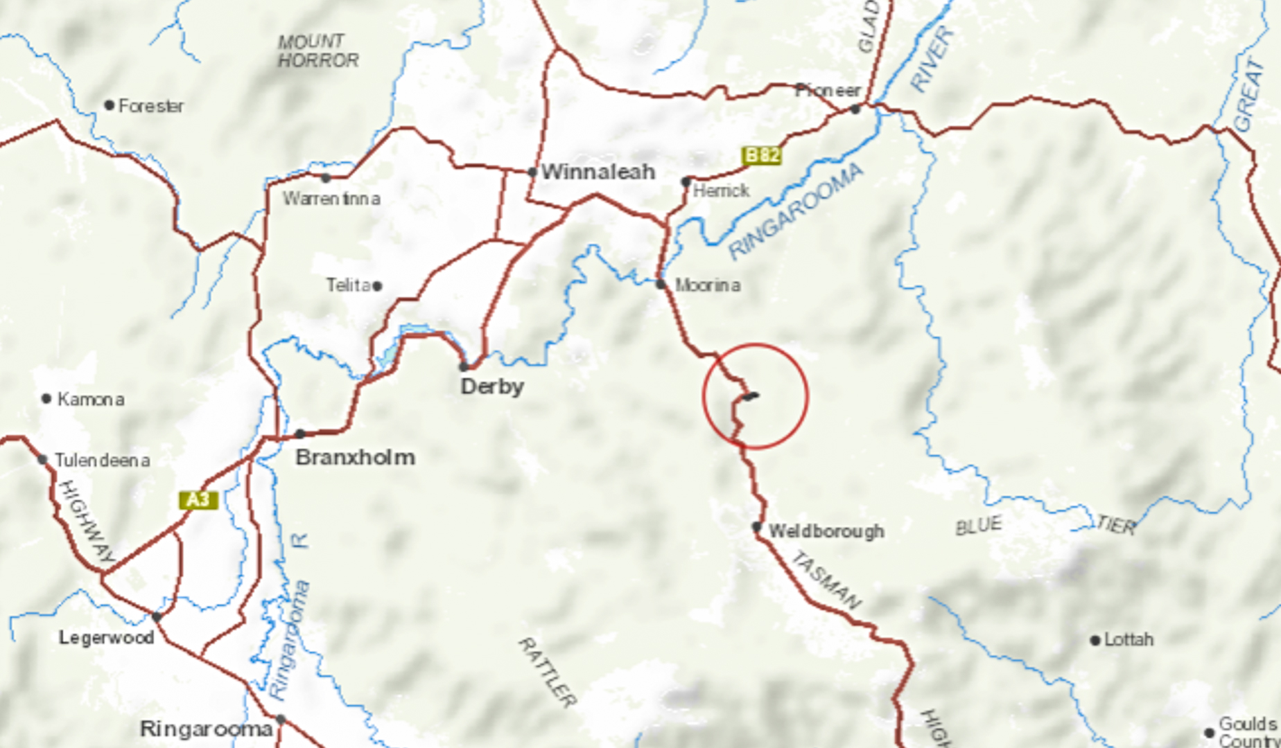

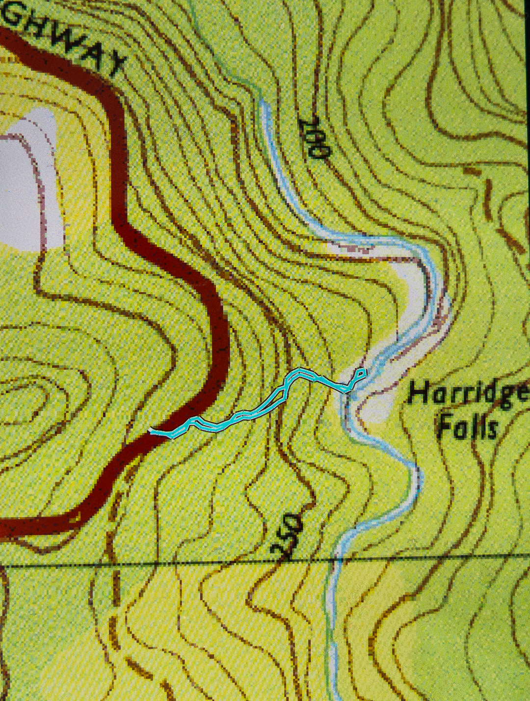
“Context statement”: Coming from the west, drive through Derby. Turn south to Weldborough on the continuation of the Tasman Highway, A3. Cross the Ringarooma River and start paying attention. When that series of sub curves is at its most easterly point, and where there is a four-wheel-drive track going into the bush, come to a screaming halt. You have arrived, and need to park where the dirt track provides some room. Overshoot, and you’ll have a longish drive before you can turn around. The pad to the falls is visible to the left of the 4WD track, and has some ribbons.
Cashs Falls (not) 2018 Apr

Cashs Falls (not), Apr 2018


What is failure? What constitutes success? If you set out to achieve the impossible, realise it can’t be done (or, at least, not under the conditions of that moment), set new goals and achieve them, have you failed or succeeded?


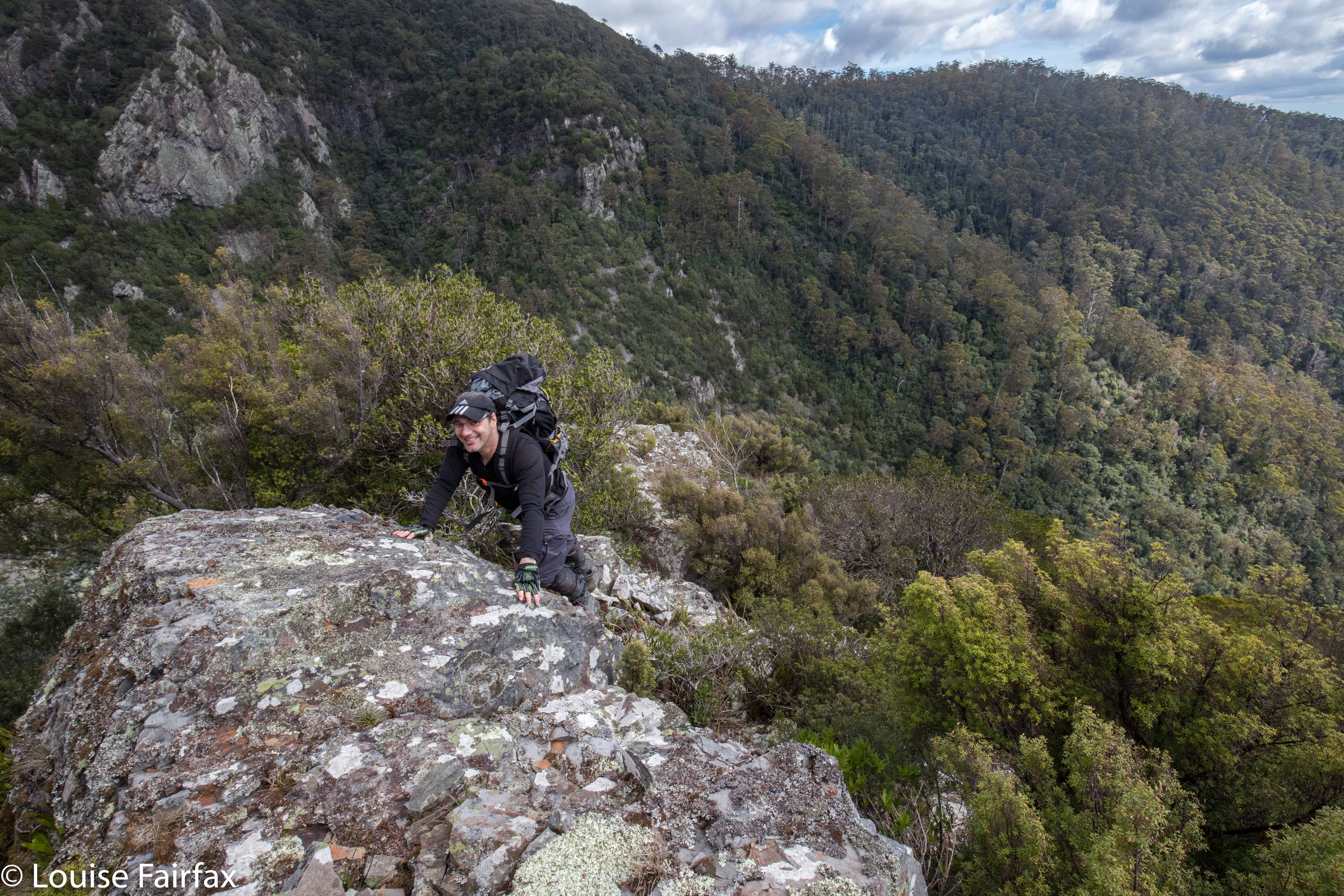
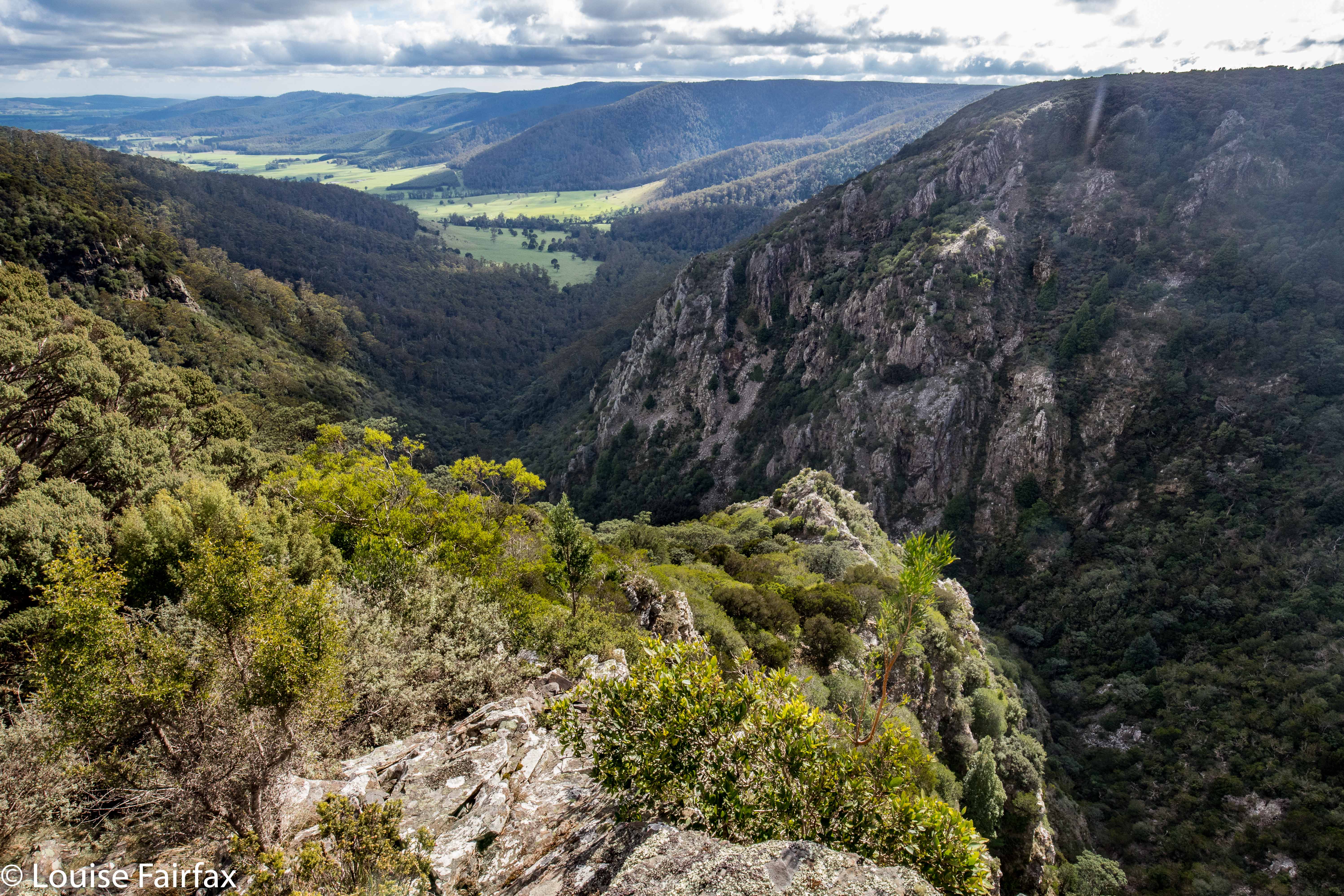
Cashs Gorge from the lookout
Craig Doumauras and I set out on what was, for both of us, a second attempt at Cashs Falls. Now, sure, we could persuade a friend with a drone to just get a shot for us, but what would be the fun or merit in that? No. For us, the need was to see the gorge personally, or not at all. But meanwhile, these falls were winning the protracted game of hide and seek we were all playing.


Lunchspot
Along the Ralphs Falls-Cashs Gorge Track we went, plummeting downhill at the agreed-upon point, where, the contours looked perhaps spaced enough to allow us through the plentiful cliffs of the area. At first, the leads went quite well, although at one point Craig lost his footing and fell a “warning” number of metres, just from a trip. We were in very steep country, and both exercised great care.


The land went from steep to steeper. We were still on the most promising area this side of the river, in terms of the map’s information, but all around us, unmapped cliffy obstacles were accumulating. This was hostile territory. Eventually, there were cliffs to left, right and in front of us. I am not prepared to slide down what I can’t climb back up, so we both agreed that we needed a new tack, and should climb back up the steep slope and try again on the other side.


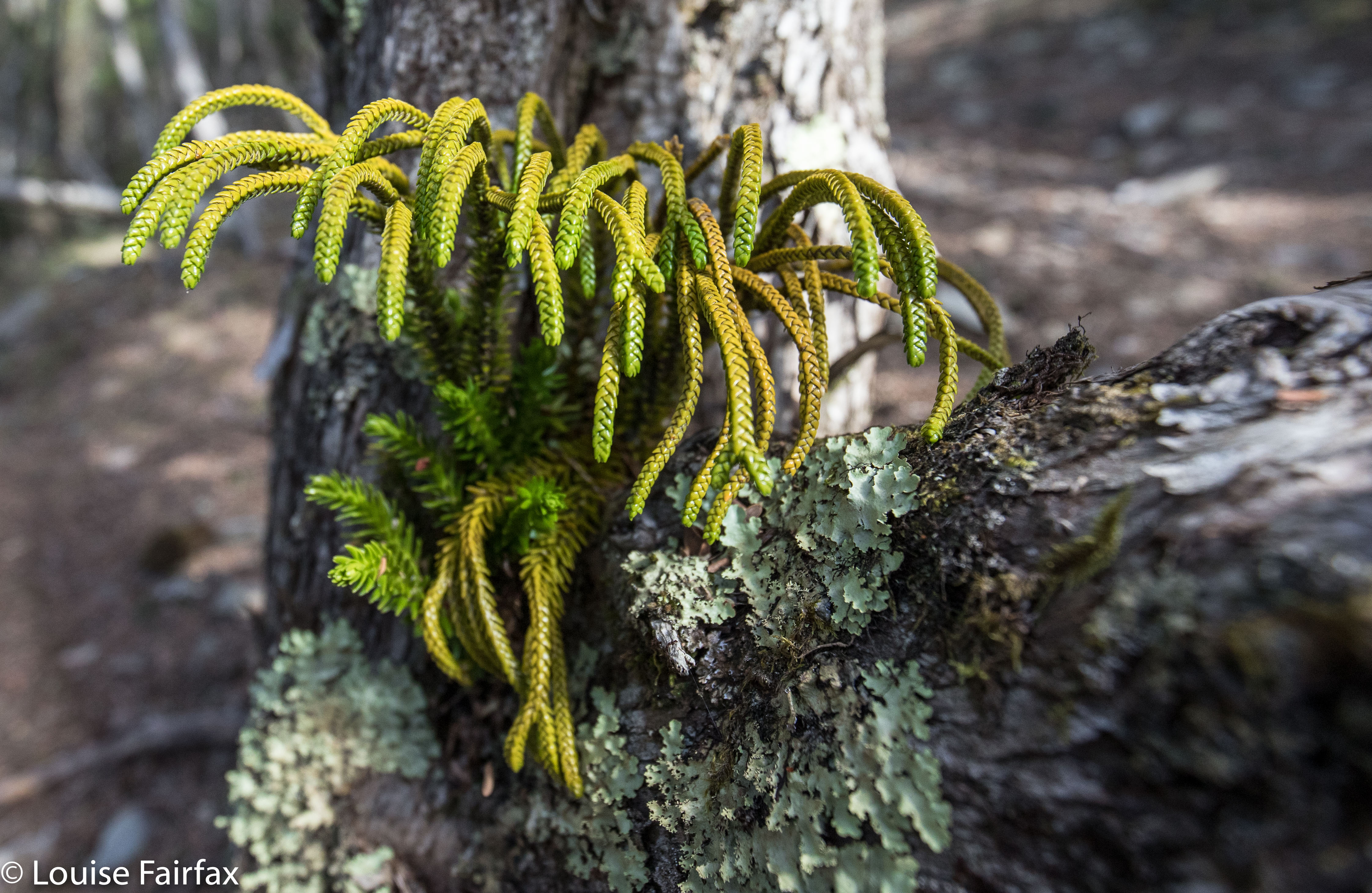
I am waiting the confirmation of an expert, but I believe this is Athrotaxis laxifolia, a cross between a King Billy and a Pencil Pine. Unbelievably, it is growing in a branch outlet of an ancient Leptospermum!
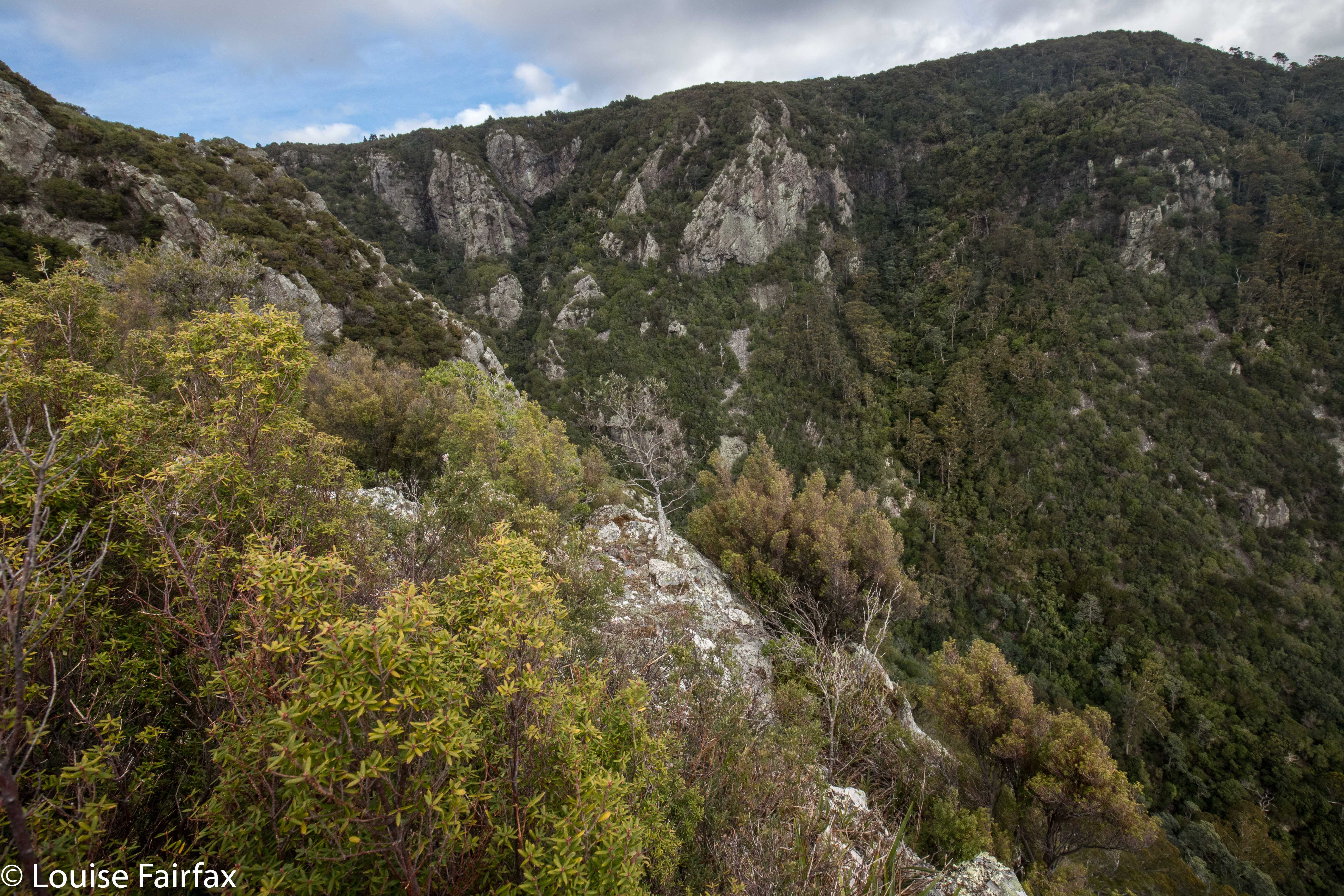
Off we set once more – around to the Cashs Gorge Lookout, across the river at the top, around the opposite (beautiful) spur, until it was time to descend. Now, when staring at the map from our first turn-around point, I noticed a bluff that might, with a bit of luck, give us a view of our grail, or, even better, produce a passageway that would allow us down to creek level. We agreed to make this bluff a preliminary goal. It was nice to have something to aim for. Given the totally obscure position of our bluff, we did wonder if we could be the first people ever foolish enough to explore this particular territory. That added spice to our adventure. Meanwhile, we were drawing nearer. At the very least, we were going to make this goal, and that felt like an achievement in this terrain. Would it yield a view? Na. That is, we had a gorgeous view, but not of our elusive falls.


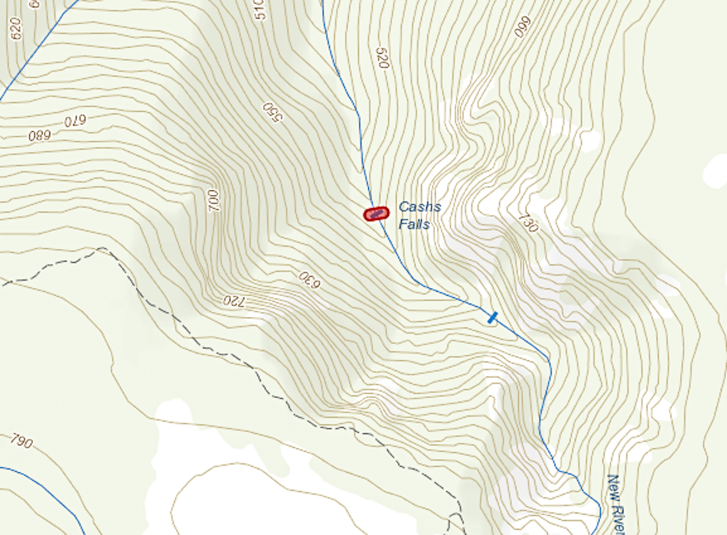
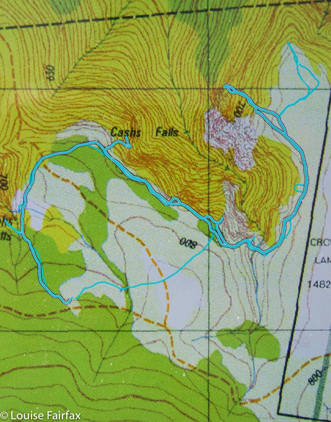
 (The bluff is the bluff feature to the NE of the falls depicted above).


Interestingly, this map depicts the falls as being slightly more upstream than the map above from ListMaps. With a canopy that dense, how is one supposed to know?
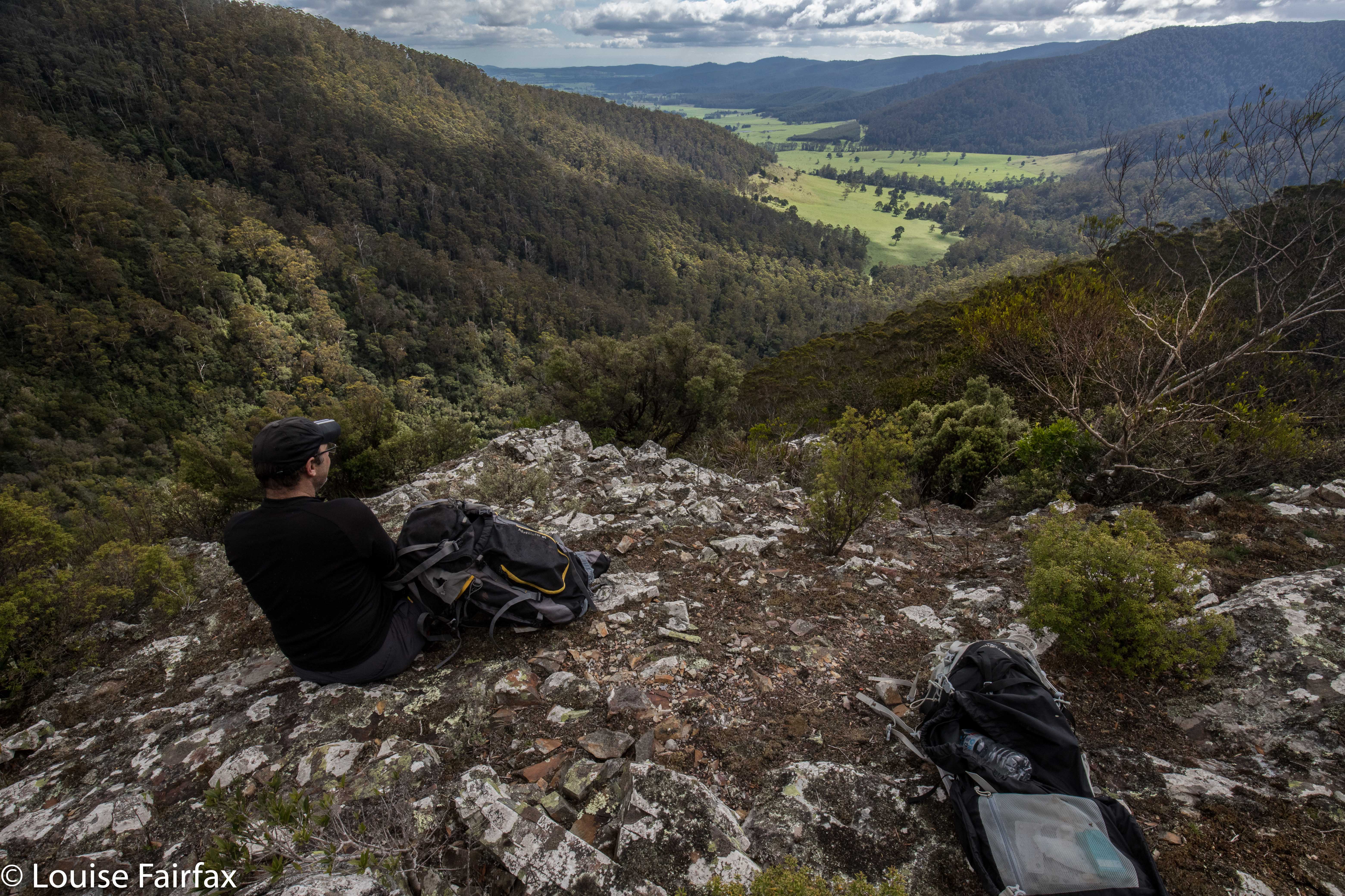
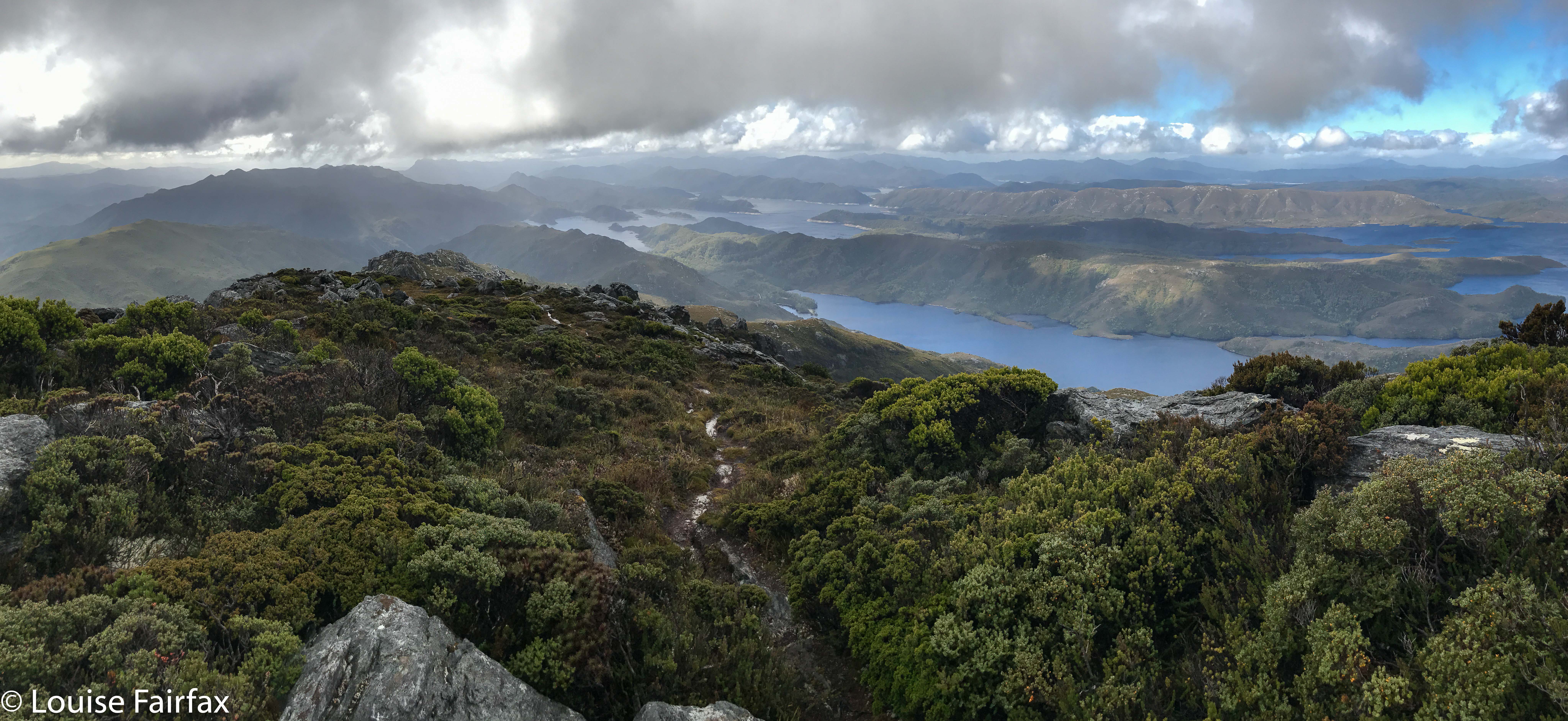
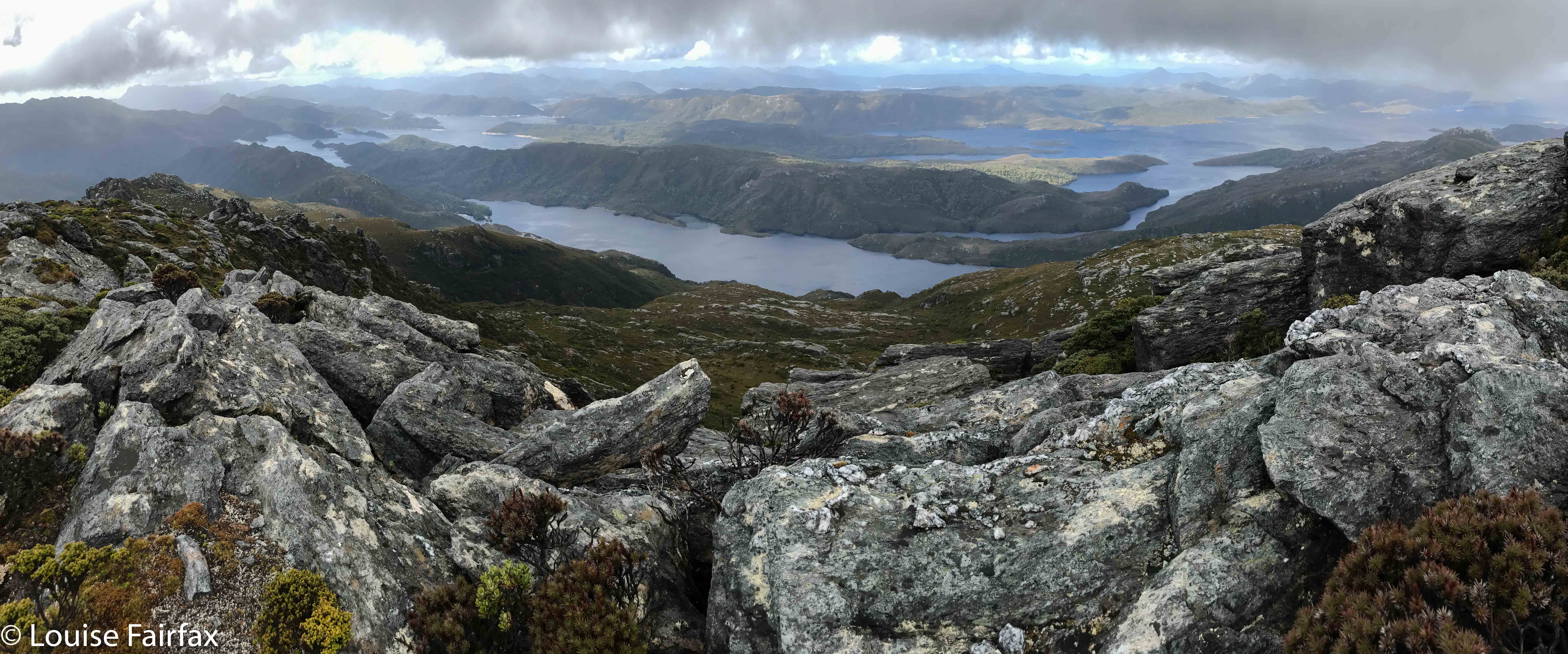
We sat on our prize, our shapely little bluff that I christened Cashs Bluff, and had an early lunch so as to prolong our time admiring its unique vista. Somewhere below us, tantalisingly close, lay our falls, but there was not even a tiny speck of white to be seen, not a minuscule rush of water to be heard. Given the inaccuracy of the position of some waterfalls on TasMaps, we could not even be sure it was exactly where the map said it would be. It was a mythical beast that would not yield a hint to us today.


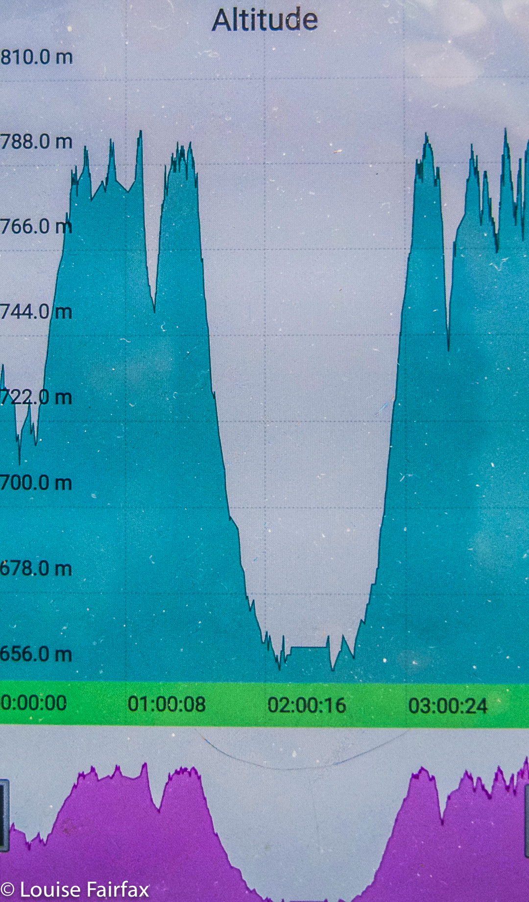
Our total height difference for the first climb was more than indicated here. I forgot to turn my tracker on before we were half way down the first descent.
Believe it or not, I haven’t given up on Cashs Falls yet. I want one  more try, and have planned my next route, but for this day, we both felt enough was enough. My track data said that by the time we’d returned to the car, we’d spent four hours on this exercise (including lunch and morning tea). We’d walked 7.5 kms and climbed and dropped over 300 ms’ elevation though thick, unforgiving scrub. It was time to visit a waterfall that was more welcoming of visitors (Harridge); one that would let us do this lovely thing called walking, where you put one foot in front of the other, and got somewhere. As for Cashs Bluff, we gave each other a high five once we breasted the top of the climb out from the bosky tangle. THAT mission was successfully accomplished, and we felt good about it.
For the rest of this day, see www.natureloverswalks.com/harridge-falls/

Sprent 2018 Mar

Mt Sprent, Mar 2018.


Mt Sprent was not actually my first choice for Easter, nor even my second, but, … well, let me begin at the beginning. My birthday was on Good Friday, and my wonderful (firstborn) daughter said that, as a present, she would fly down and spend the night on a mountain with me. Can you think of a nicer, more special present than that? I certainly can’t. Presence makes the best presents. Time is surely the most marvellous thing we can give each other. But WHAT mountain do you choose when given such a fabulous offer? I wanted it to be new, preferably an Abel, and beautiful. It also needed to be done in two days, as we had to be back for Sunday’s all-important Easter Egg Hunt for the children.


Ambitiously, I chose Bonds Craig. That was before I got a crippling chest infection and before I got news that, given all our recent rain, the Gordon River would be flooded anyway. OK. Plan B. Sharlands Peak. But, with a fever and weakness, I really didn’t think that was possible in two days either. Plan C was Mt Sprent, which I had’t yet climbed. We would hopefully get great views, and it’s just a tiny climb to the top, and even a sick Louise can do a climb that short. I was right. I coughed my way to the top, but had no trouble doing the physical ascending bit.


I picked Kirsten up from the airport on Thursday afternoon, whisked her away while Abby maintained that “Mummy’s NOT going” (how dare we have a girls’ adventure without her), and headed for the south west, with the skies getting increasingly ominous as we drove. At the sign that announced we’d now reached the wilderness area, the rain added its confirmation by bucketing down and the temperature dropped about twenty degrees. We pictured ourselves huddled in some windy shelter having the picnic dinner I’d packed and shivering while at it. Kirsten suggested we check out the Strathgordon Wilderness Lodge. Now, there’s a good idea if ever I heard one. There was room at the inn. In we hopped with glee.


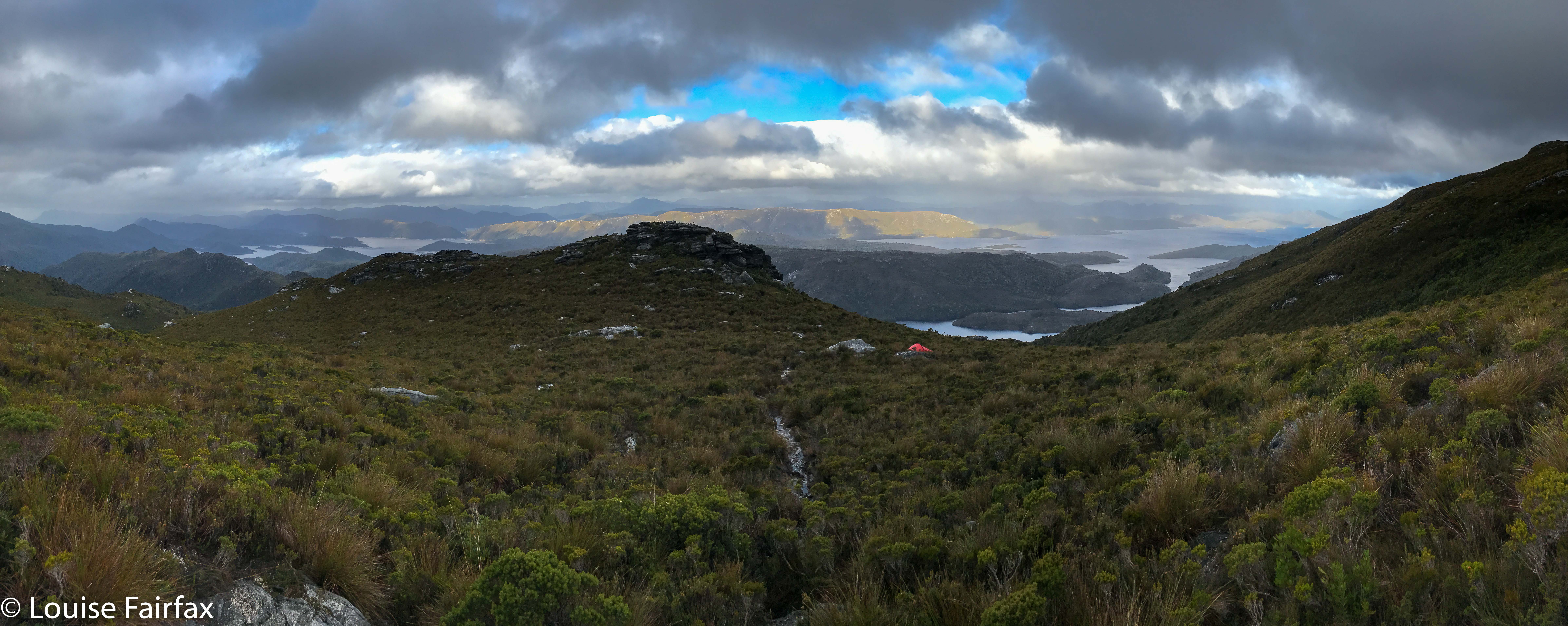
Next morning (Friday, ascent day), it was till bucketing, but the forecast said the water amount would decrease after midday, so we did a rainforest walk and had a picnic lunch so as not to eat in a downpour, and set out in the afternoon. I was right about the shortness of the climb. Even with my illness, we were on the summit in two hours, and had oodles of time to find a spot for our tent on the Wilmot Range before the elements closed back in. Problem: all flat spots were a handspan deep in water, and, of course, all slopey spots were, yes, slopey. We chose the best spot available, which sloped on both the X and Y axes, and practised rolling towards each other and sliding towards the foot end of the tent before thinking about dinner.


We seem to have a bizarre sense of humour, as we found all of this rolling to  be hilarious, and knew we were in for a long night.  Dinner was also a bit of a problem as, since the combination of motherhood and a demanding and fulfilling job has compromised my daughter’s fitness, we were squashing ourselves into my solo Hilleberg which I carried. It’s delightfully spacious for one; for two, well, it is a solo tent. It was cuddly. I found it tricky to cook given the cramped nature of our environs, and the fact that rain was pelting down outside and we had wet gear strewn about the vestibule. I therefore cooked just one dinner which we shared between two, so my special birthday meal was half a dehydrated, rehydrated cottage pie dinner. I thanked my darling daughter for bringing me to a thousand star hotel, and we ate our fare with relish. Pity we couldn’t see any of the thousand stars.
It was, indeed, a long and giggly night. She apologised about the lack of comfort. I explained that I thought that comfort can hardly be considered one of life’s necessities. Given what we, as a family, have experienced and endured over the past few months, I think comfort is a very low priority in life. We had each other and we were happy. Isn’t that all you need?


Next morning, we descended, and reappeared at the Strathgordon Lodge in time for some freshly made vanilla slices (YUM) and a hot drink before heading east via some waterfalls to the eagerly awaiting rest of Kirsten’s family. (My second-born daughter was in Africa, so couldn’t join us this year.)

Shower Falls, Camp Falls 2018 TAS Peninsula Apr

Shower Falls and Camp Falls, TAS Peninsula, Apr 2018


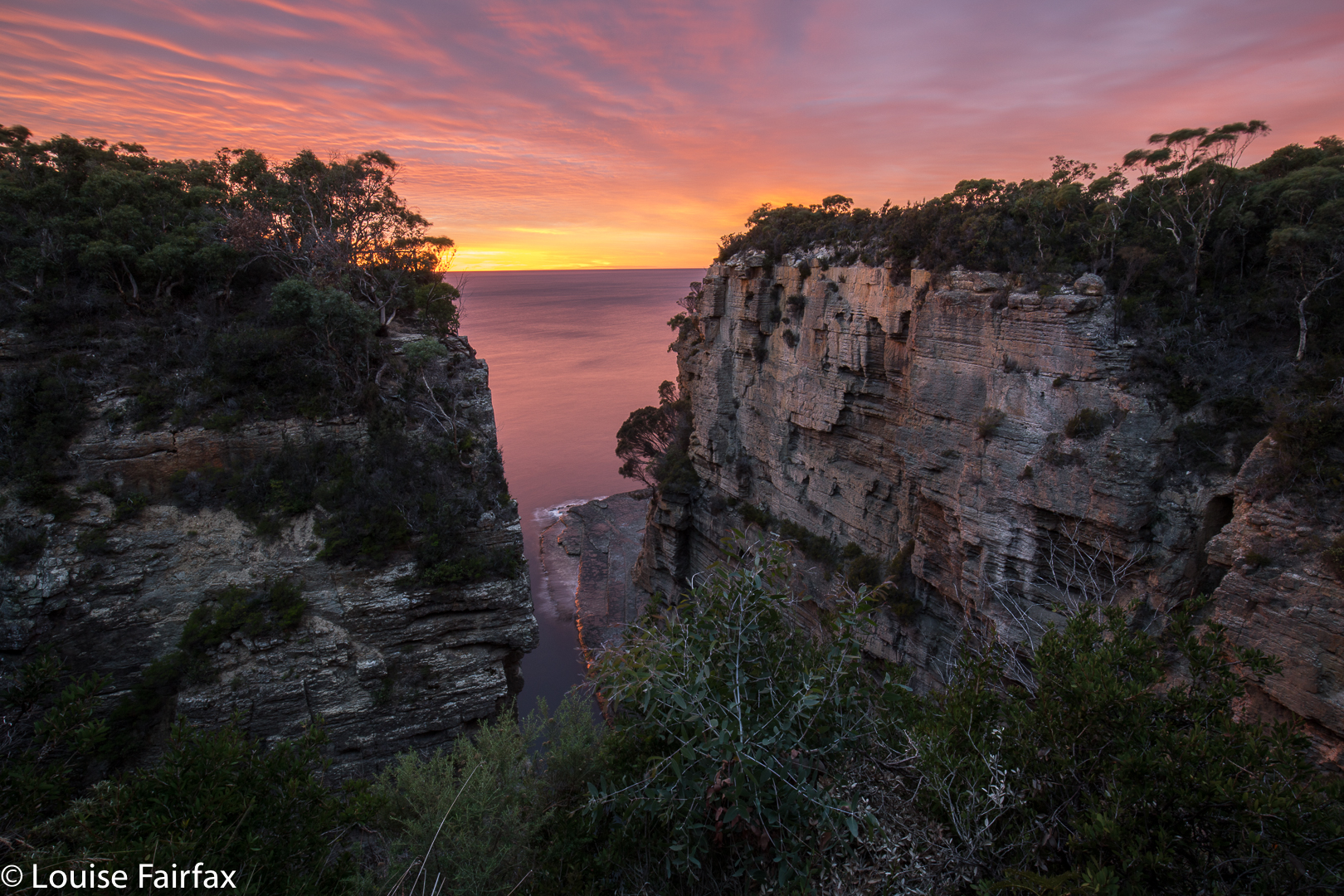
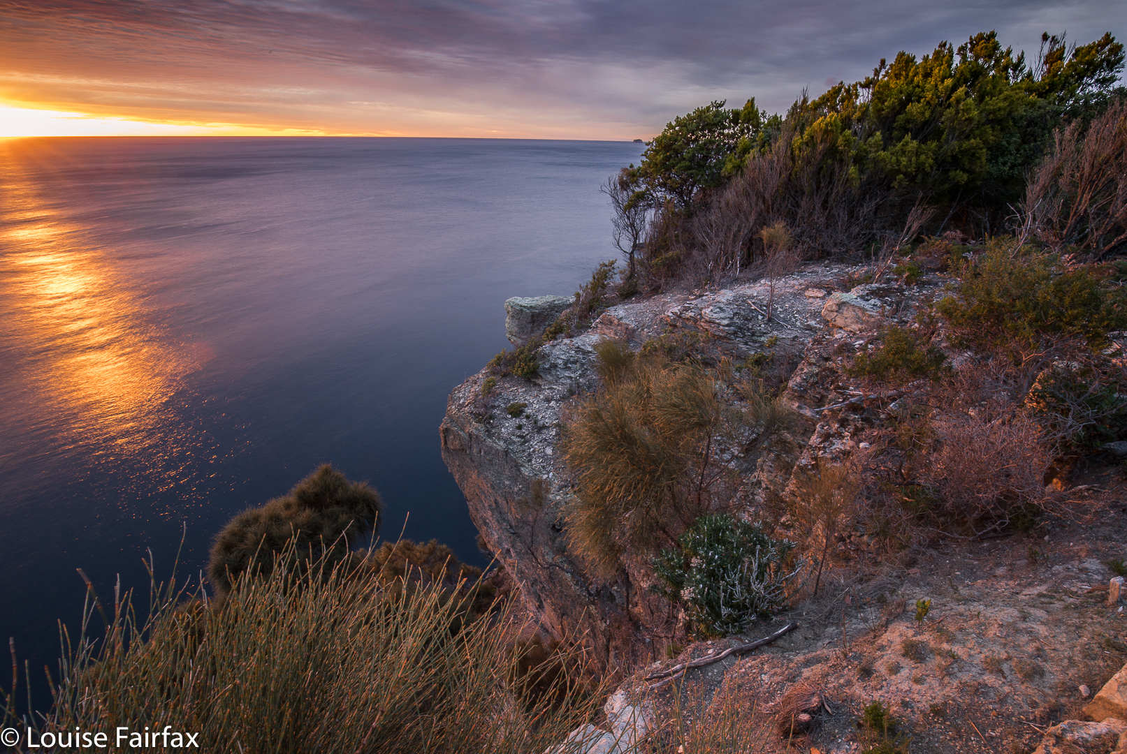
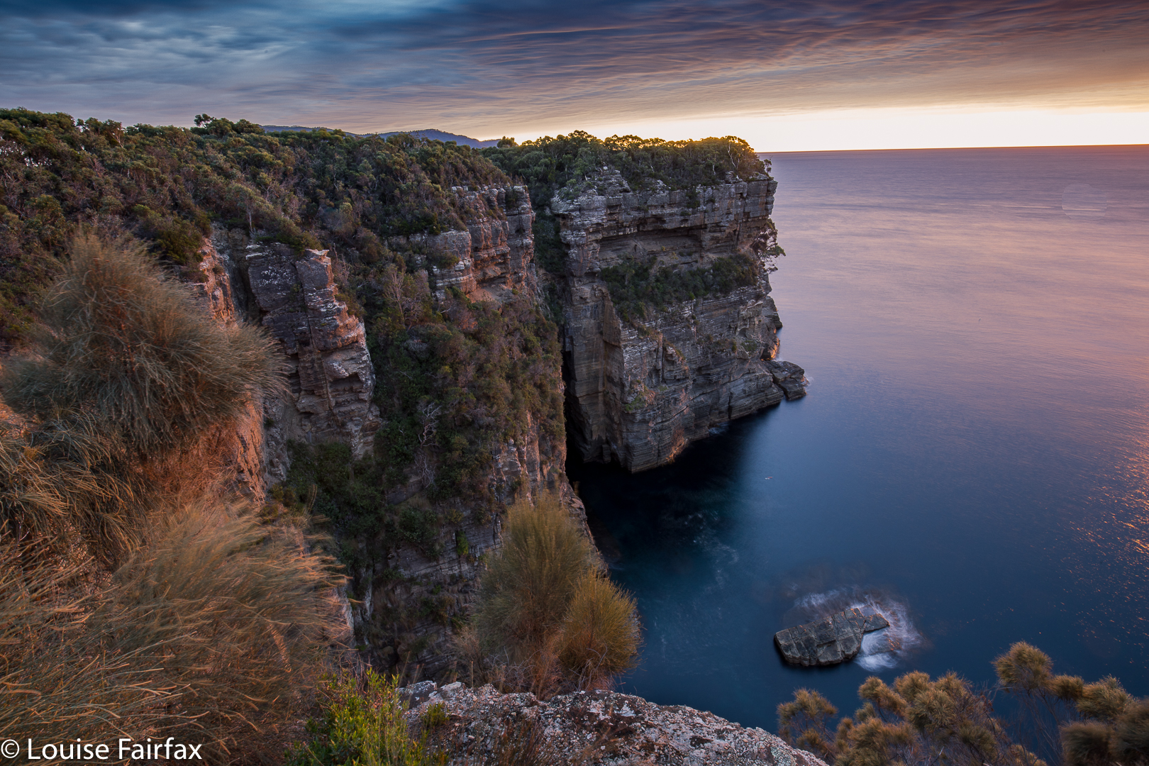
My family had hired a shack at Eaglehawk Neck on the Tas Peninsula for Easter, so I decided to use my close proximity to the Shower and Camp Falls to do a quick bag. I set my alarm for 6 a.m. to catch sunrise on my way (plenty of time, as sunrise was not until 7.17, so I thought), and fell happily asleep. Trouble was, my relatives had mislead me and I hadn’t double-checked. I awoke to a sky already pink (it was supposed to be black at that hour): daylight savings had begun in the morning, and not in the evening as they maintained. Of course, it is my fault too for not doing my own investigation on when the clocks changed. Meanwhile, I had all but missed dawn. Pity, as it was a nice one.


As you can see, I did at least catch the tail end of it, but had to use the huge railings as a tripod, as I didn’t have time to set up. The railings make my life rather tricky, actually, as they are so tall that when my camera is resting on them, I can’t see through the eyepiece: it’s too high. My camera doesn’t fit in the narrow strips between rails that they allow. In order to get a good photo, I need to actually climb over the railings, which I didn’t have time for on this morning. (I did the next day). They say they are interested in safety. It would actually be a lot safer if their railings were not so high so that those who want to see don’t have to climb to be able to do so. Don’t scoff you men until you’ve tried feeling what it’s like to be forced to look at nature from behind wretched bars.


Anyway, dawn duly photographed, I set off to find my waterfalls. I really hated the highway I now had to walk on in order to reach Waterfall Bay. It was wide, smooth, glary, manicured, totally unnatural and utterly boring. My feet dragged with the monotony of the smoothed-out, unchallenging surface. I felt like Shakespeare’s reluctant schoolboy drudging his way to the day’s orchestrated boredom. Twenty minutes later, I was at Waterfall Bay carpark. Oh joy and bliss. Here they haven’t “improved” on nature, and I was allowed to walk on an appealing narrow, unpredictable dirt path. No doubt they have plans to ruin it at some future date, and call that ruination “improvement”. On this little path, you could actually get to the edge and peep over if you wanted to. You got to think about where you placed your feet instead of going into robot mode, a brain-dead automaton. This section, alas, only lasted fifteen minutes, but it was a relief after the wide cousin that preceded it.


Shower Falls
“Camp Creek”, as I have dubbed it (nameless on my map), was running, so I knew I would get something at the falls. As there was a nice little track leading to the lower Shower Falls, I took it first and photographed them before heading upstream to Camp Falls, which were just a tiny bit lower than the track.


Shower Falls
I definitely preferred Shower Falls. The way back was just a reversal of the way out, except that it was, for me, full of guilt, as I had taken longer than anticipated, and I knew the children would be eager for Easter Eggs. I was holding things up.


Camp Falls

Sharpes Falls 2018 Apr

Sharpes Falls 31 Mar 2018.


My daughter and I had just had a glorious time climbing Mt Sprent in the South West and sleeping on the Wilmot Range, but, being greedy, I also wanted to bag a waterfall with her – to share that side of what I love – so we decided to take in Sharpes Falls, just short of the Mt Field National Park, on our way home from Strathgordon. I knew she’d love waterfall bagging in general, it’s so like orienteering – except that there’s a beautiful waterfall to greet you when you’ve navigated well, rather than an orange and white flag: hey, much more fun. As for whether she’d like Sharpes Falls in particular, I couldn’t say until we’d seen it, but you have to see it to know, so off we set.


We’d parked at the boom gate at Newbury Rd (the turn to the west beyond the National Park. If you get to Sharpes Rd, you’ve gone too far west). We assiduously ignored all the signs that told us we were embarking on a very dangerous mission (everything one does in modern Australia is very dangerous; the words have lost their sting as councils yell “danger” at the sight of a caterpillar). Up the hill we progressed, past the quarry on the right (doubtless full of life-threatening horrors) and continued on, at first through a pine plantation that made us happy by reminding us of all the orienteering events we’ve done in forest smelling just like that, and further, to an ugly felled area. Neither of us likes felled trees – although felled pines are perfectly justifiable, they’re still not pleasant to observe – so elected to turn into the forest that contained our falls earlier than planned, just to create pretty scenery for ourselves.


The going was thus slower, but that’s fine by us, as we were not on a mission of efficiency. Our intent was beauty, so we enjoyed wending our way in lush forest above the creek that contained our falls (Sharpes Creek). We even found some early fungi, and lost of lush moss to excite us. The falls were definitely worth the walk of about twenty minutes in each direction.


On the way out, we decided to go the way that most people would probably want to come if efficiency was part of their game, just to test it out for this blog. Heading straight out of the falls to the east, we came upon some orange tapes. However, if you are not comfortable navigating, do not count on these tapes, as they can not be relied upon, especially near the logged area. This is not a waterfall for tourists.