ENGLAND Lake District 2017 Wainwrights 2

England Lake District. 2017. On completion of the Wainwrights, Essay 2.

I have completed “climbing” all the Wainwrights: namely, fells, or what I mostly call mountains. What is  a Wainwright? The definition is operational: it is a fell or mountain that the late Alfred Wainwright immortalised in his wonderful series of ink drawings of what he considered to be the best Lakeland fells. There are 214 of them, published in seven delightful little books.
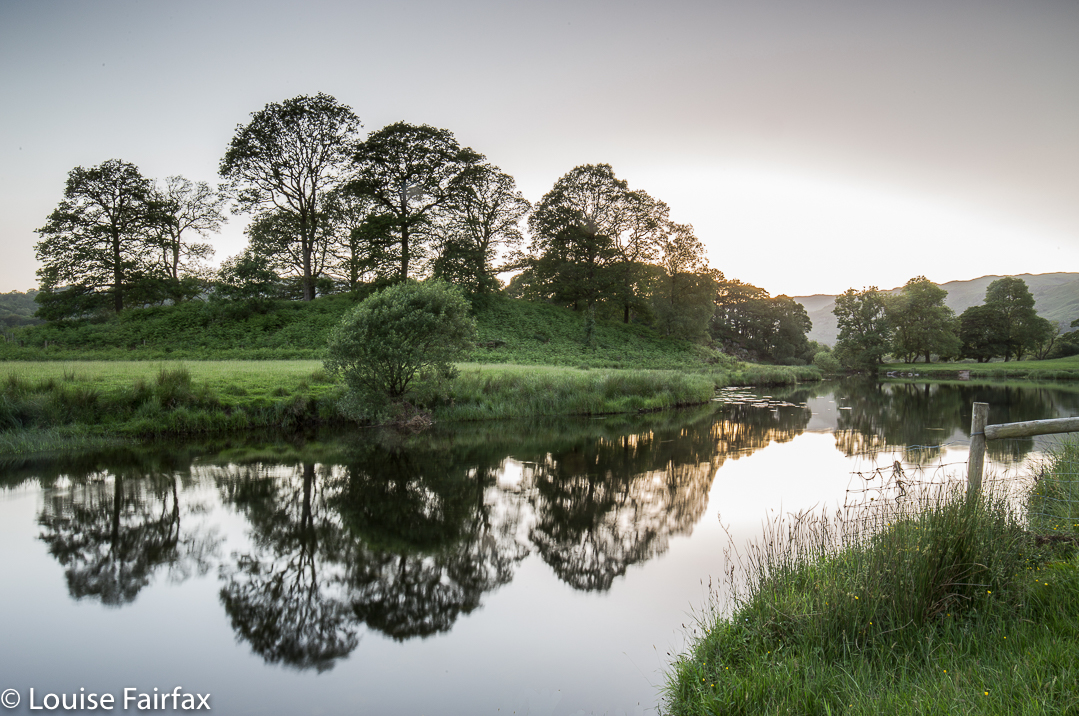

The Lake District is also, of course, about water as well as beautiful mounds.
I talk of “climbing” the Wainwrights. When I say this, do not picture me with a helmet, rope and carabiners, being belayed up or down a cliff. There were cliffs, indeed, and I chose that route for fun on several occasions, but never with fancy equipment. I use “climb” in the same sense that I say I climbed the stairs, or climbed a ladder to prune my trees. When Julie Andrews in The Sound of Music sang that we should climb every mountain, I don’t think she had ropes and helmets in mind (although, of course, I agree that we should).
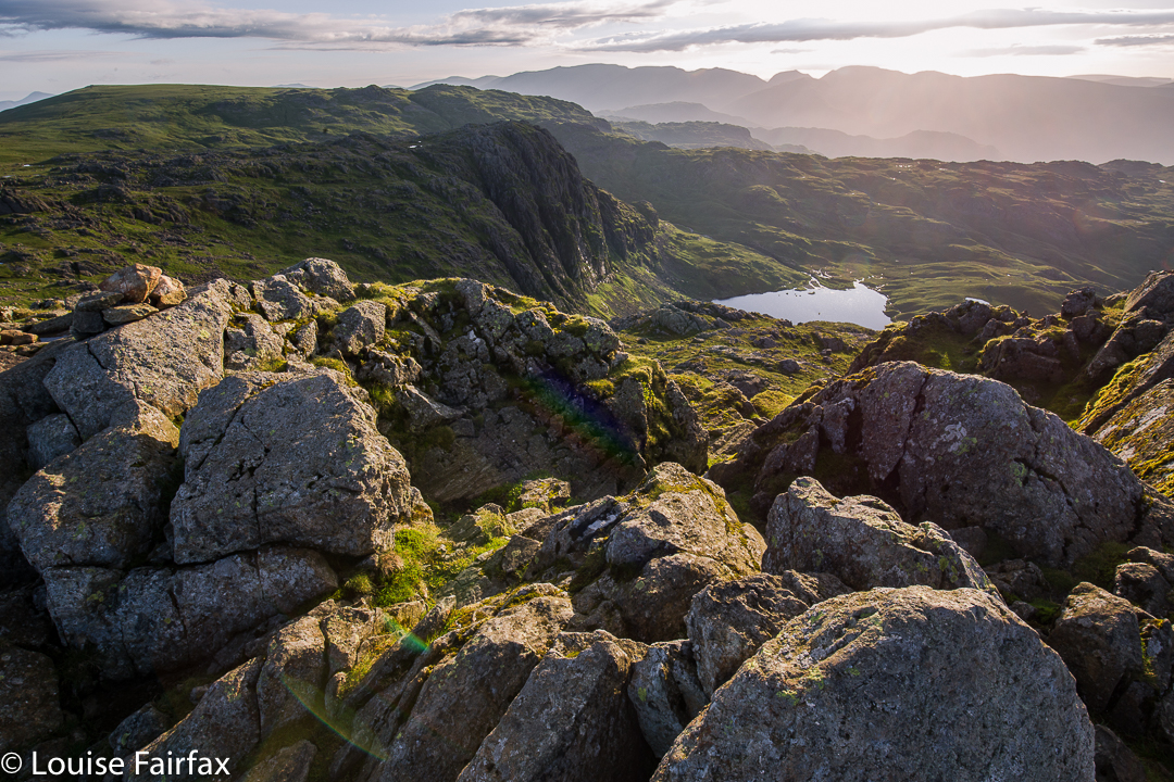

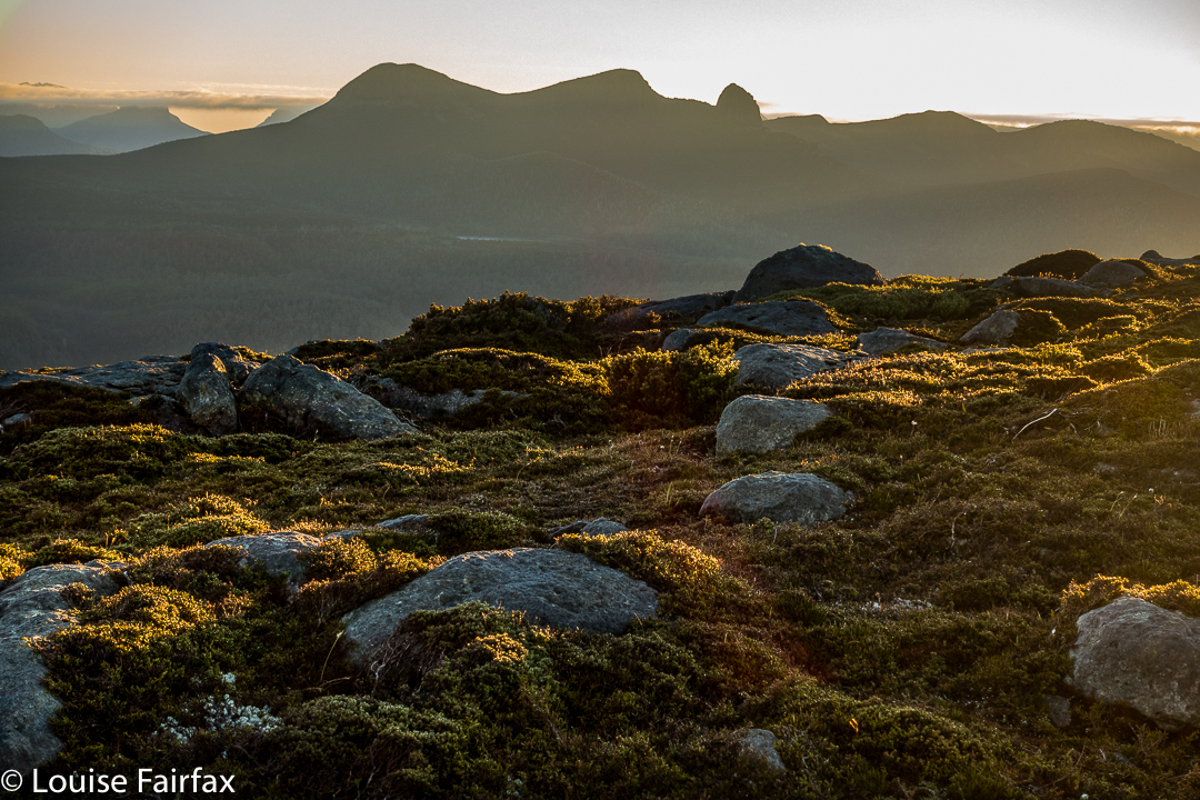
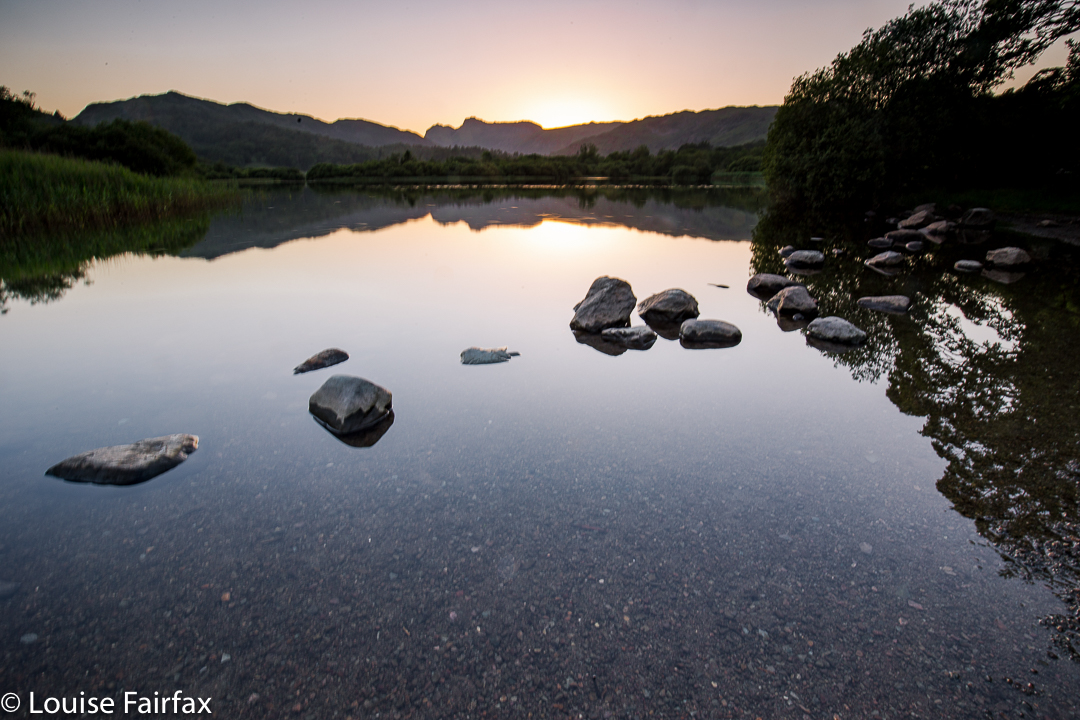
Dawn from the Langdale Pikes (Harrison Stickle here). I was so excited to be in the Lakes (and in Europe) I got up at 4.10 on my first morning and climbed 6 mountains before breakfast.
And why do I refer to fells as mountains? Just because I’m Australian, and that is the name we automatically give to a terrestrial lump of a certain size. These English humps are no more or less mountains than Mt Amos, Mt Dove or many other shapes called mountain in my homeland. They are not as high as Mt Kosciusko, but the height difference between nearby base and top is actually, in many cases, more. The shape is also far more impressive. You would have real trouble trying to die on Kosciusko, but unfortunately, it has been proven to be more than possible to fall to your death on the fells. The cliffs have monster drops if you choose that approach. Things are as difficult or as easy as we choose to make them. I hope my choice of language doesn’t confuse. I am writing about England, but I write as an Australian. My relationship to the fells is necessarily tinctured by my own background. As Kant would tell you if you read his first Kritik, knowledge is gained in relationship to existing knowledge; stimuli received within the context of what our brain already contains.
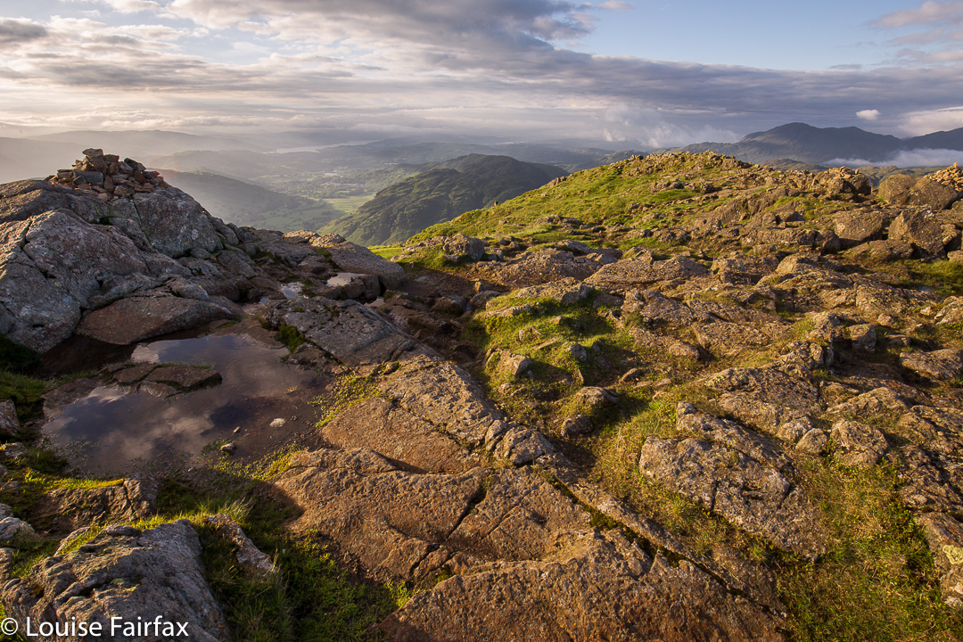
And how do I feel about completion? Please forgive the circularity and intentional banality, but I feel very complete. Every peak on the list has been climbed. There is something beautifully neat and tidy about that (funny, as I am not, with regard, say, to my house, obsessively neat and tidy, but when it has to do with lists, I am). At university, I always read every book on a reading list; here in the mountains, I find there is something satisfying about having a tick beside the name of every mountain. Yes, I know there are nasty words for this “disease”, but it is actually quite a handy one to have. It wins you scholarships and prizes. More important to me than the ticks is the fact that every mountain is in some way “known”; every one, albeit briefly, befriended.
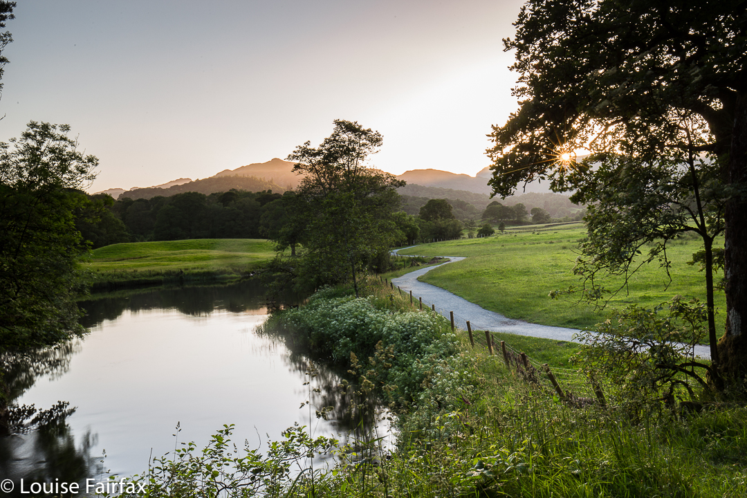
I have fond memories of almost all 214 mountains. As I see each, I remember happy incidents that occurred whilst climbing. I recall my interaction with its shape and surface. My satisfaction has nothing to do with any putative “achievement’, but with something a little harder to pin down. To help me explain, let me recall for you a moment on this trip as I drove into Paterdale on day three to climb the two remaining fells there (neither of which was visible from the car).
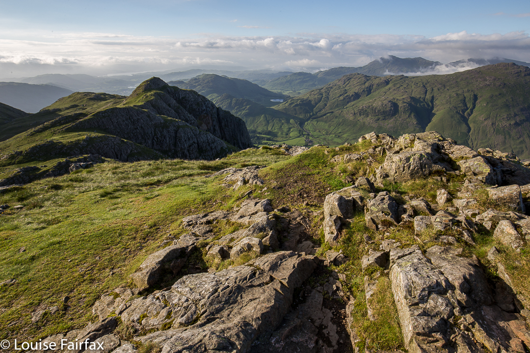
As I drove, my peripheral vision had the mesmerising treat of the louring silhouettes of all the surrounding mountains. They seemed so rich in shape, so alluring in their half-caught forms as I still, partially at least, concentrated on the road; so impressive and mysterious. I was in love with each one of them. I couldn’t actually name any of them whilst driving, not without contextualising them in relation to each other, but they all called to me of a world of wonder. It was with a sense of awe and humility that I realised I had climbed every single one. I became teary as I drove and realised this was going to be quite an emotional journey. If I refer to the feeling of knowing I had climbed each one as “satisfaction”, you will see that the chosen word has nothing to do with “achievement”, but something far deeper.
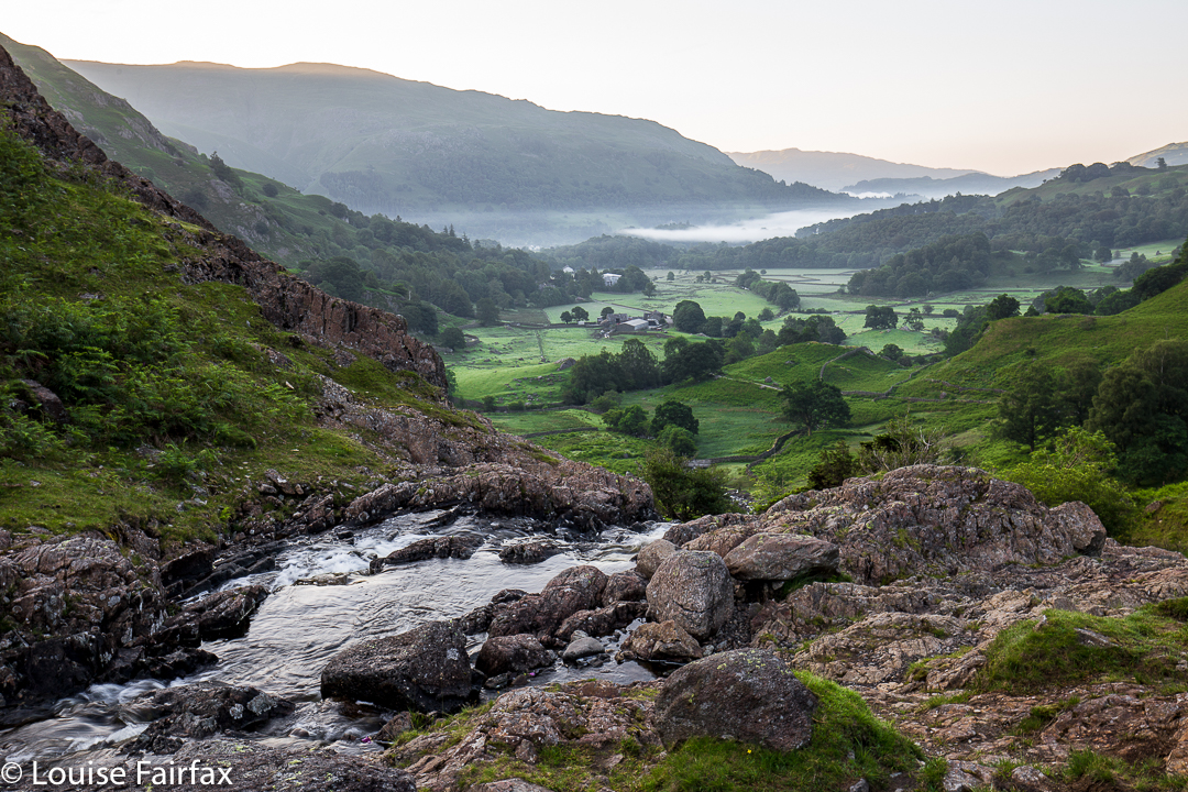

 En route to Tarn Crag for another dawn sunrise
My physical abilities, sure, enable what I was feeling, but they were no end in themselves. I simply love to go upwards, and have a keen sense of, and attachment to, place. In the Lakes, I love both ridges and summits, I love the sheep that inhabit the high places, the wind in my face and time to think. I love the independence of self-propelled navigation. I love the complexity of the bumpy, glaciated terrain that makes it so interesting and casts so many wonderful shadows, the numerous shades of green on a single mountain, and the fabulous moody clouds that so often accompany my efforts.
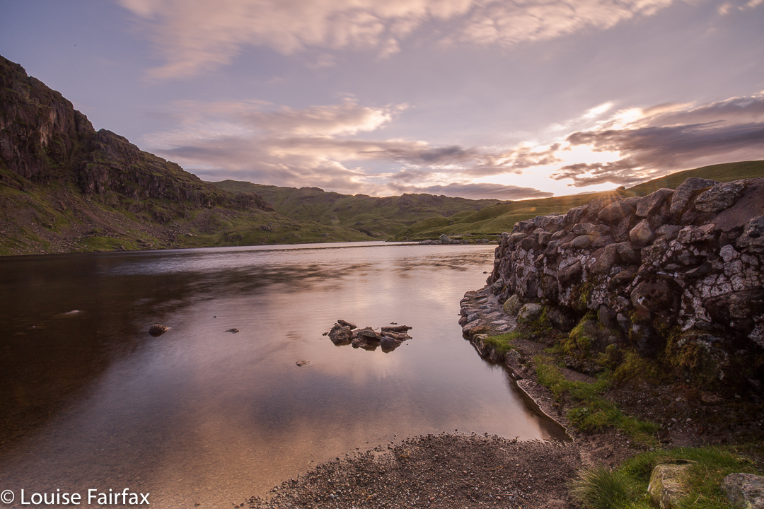

Stickle Tarn, pre-dawn.
I also love the way you can be out on a truly foul day, minding your own business in a pea-soup fog, and out of the gloom a shape might appear that turns out to be a human form. I don’t regard this as an intrusion on my solitude (especially as I have been lucky enough to have these encounters in saddles rather than on summits). I love connecting with other people who are obviously as mad as I am. Other times, the shapes are just sheep; I greet them too.
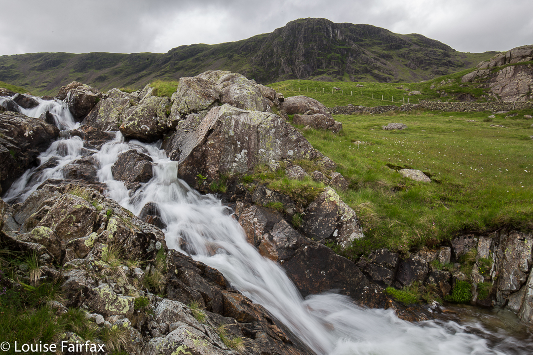
Sourmilk Gill. Grey Knotts behind. Taken while climbing Base Brown.
At lunch or in the evenings, in the pubs over soup or steak pie, conversations begin easily with strangers whose kindred spirit to mine is signalled by their boots, or the pile of maps beside them on the table, or a fine specimen of a camera. I enjoy the camaraderie. We compare routes or destinations, or discuss the merits of ViewRanger.
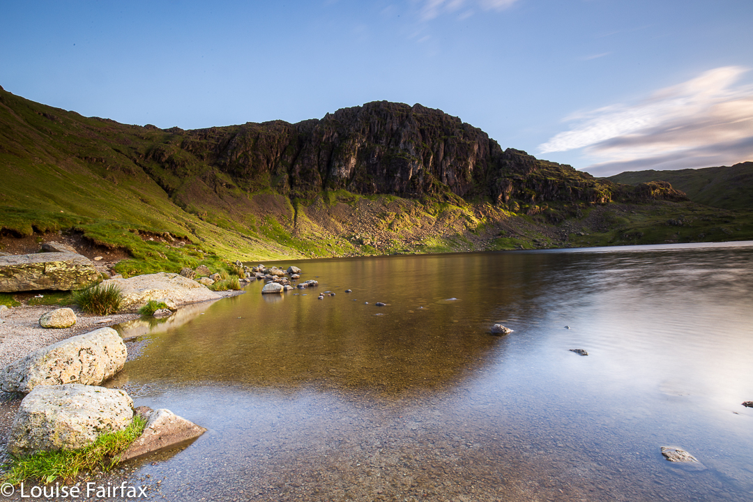
Pavey Ark from Stickle Tarn.
I have now completed all the Wainwrights, but am all too aware that my relationship to these wonderful mountains is only “party deep”. We have met once, over cocktails. I don’t know them with the kind of intimacy that comes with a longer, less superficial relationship. As a result, I have already started on round 2 of the Wainwrights. Old friends are good friends. I am enjoying deepening my acquaintance. Some fells I climbed first with my husband when we were little university students. I have forgotten many details. It is great to be reminded of my first encounter.
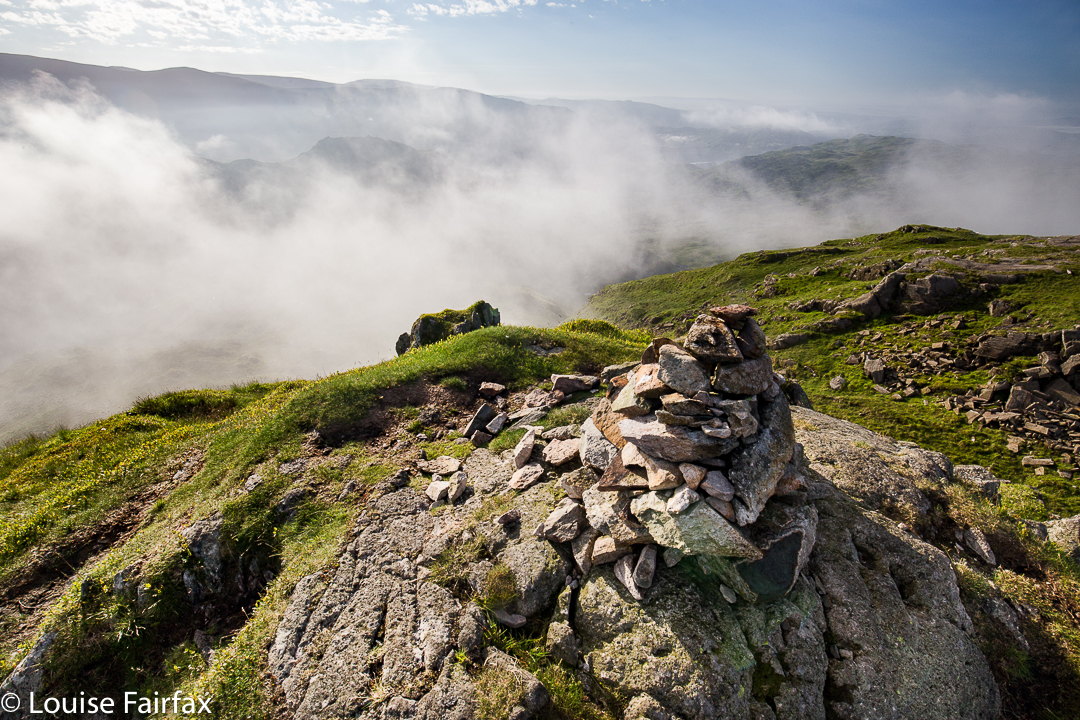

Some of the first of my round two list were Maiden Moor, High Spy and Dale Head. I repeatedly ran up these for training in the early 1990s, fabulous inclines to make me fit for the approaching World Championships, my focus at that time. Now I walked up carrying my full-frame DSLR and tripod. For the first time, I photographed them. For the first time, I took in their detailed structure. In the nineties, of course I noticed the fabulous views over the edge that they offered, but this time I had more time to appreciate it. No World Championships were pressurising my horizons this time.
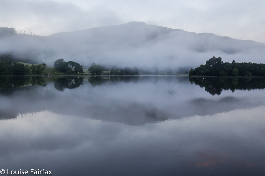
I can’t wait to repeat old friends like Fairfield, Robinson, Great and Green Gable, Haystacks – all fells that I did a long, long time ago, and many of which I didn’t even photograph, as photos were exorbitantly expensive back then in film days, and on a student budget. I am excited. Completion is a new beginning, not an end.
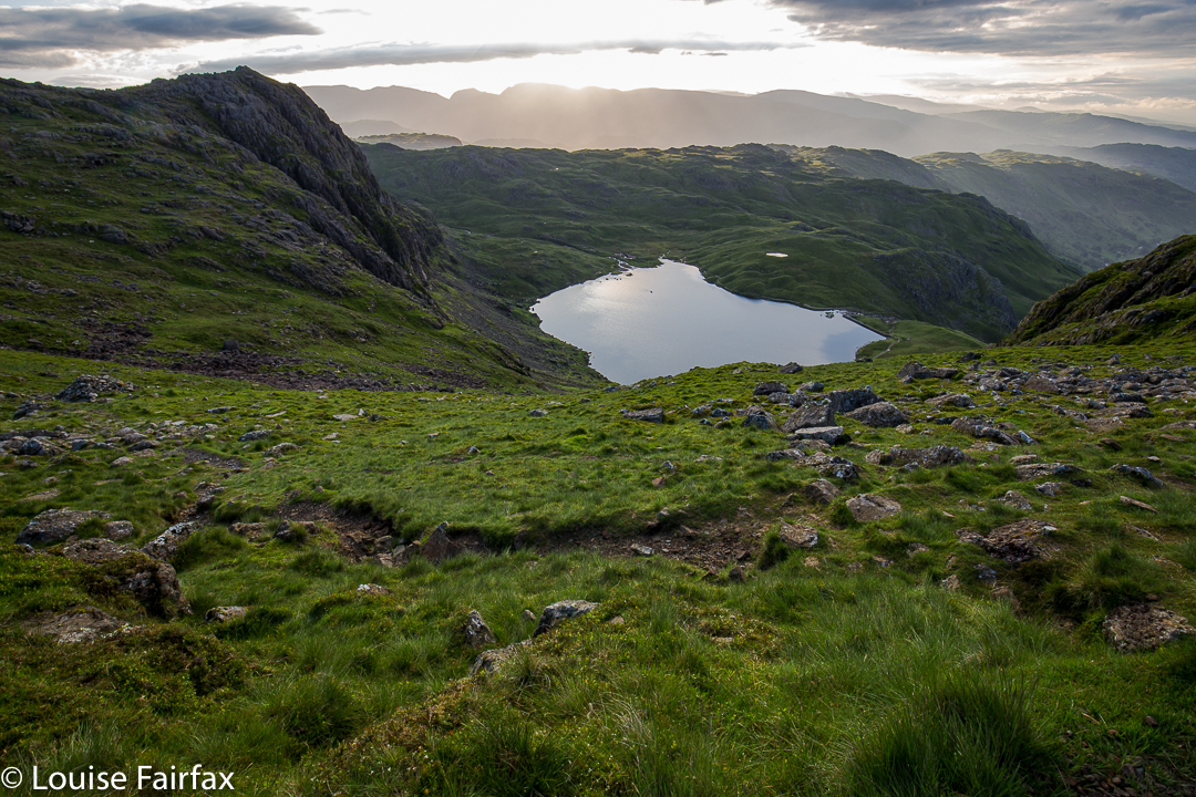
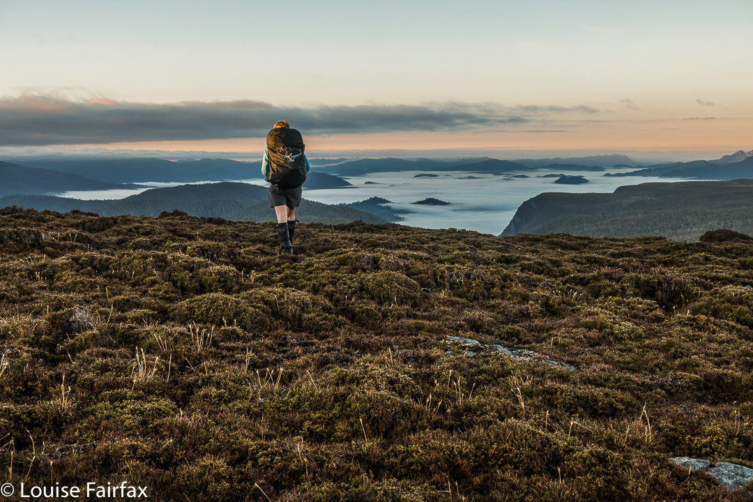
Pyramid Mountain 2017 May

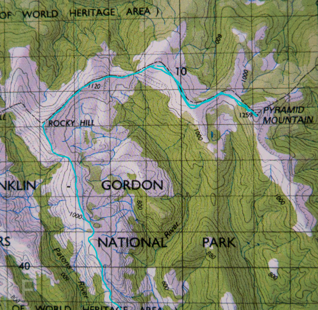
Pyramid Mountain 14-16 May 2017.
(For Day one of this three-day hike, see natureloverswalks.com/Rocky-Hill/).


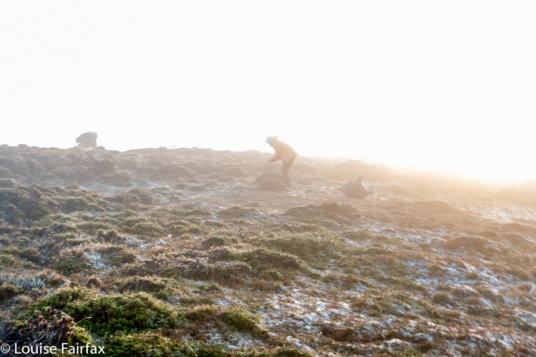
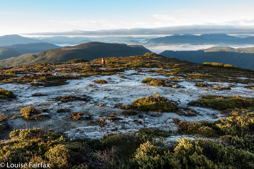
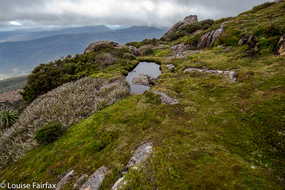
Summit day for climbing Pyramid Mountain dawned. A light fog surrounded us; the grass, of course, was icy, as were our tents. The sun was a kind of dispersed yellow glow to the east. Mountains like High Dome, Pyramid and Goulds Sugarloaf were beautiful silhouettes as we ate breakfast and prepared ourselves for our adventure. How would things play out? Could we do this in a day at this time of year?


We set a turnaround time of 12.30, given the now early time of sunset, which didn’t give us much room for hold-ups or errors should we land in highly-resistant scrub. Off we set, both curious and hopeful.


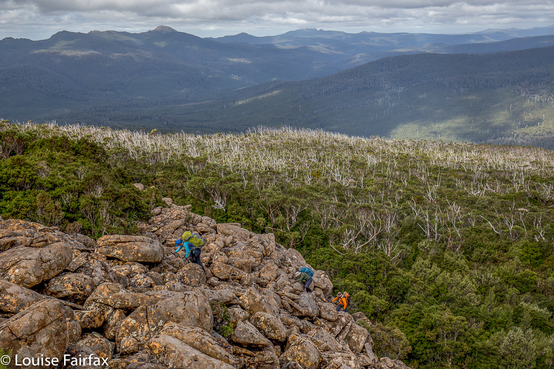
We were at “hill 1173” within 45 minutes; passing Mediation Hill in another 45; and topping the next hill after leaving the main Eldon Range route (Hill 1129) in a further 25 minutes. Things were going well so far. Pyramid looked pretty close by now, and we’d not quite been going two hours. And then the rot set in. After this hill that was a bit of a bulldog in lamb’s clothing, came a route that went first SE and then swung along a ridge that looked fine from a distance, but was like a duplicitous politician at close quarters: deceitful, barbing, and best avoided. Trouble is, we needed to traverse it all the way along its mean and nasty length until it started climbing to the next hill that was so uninspiring it didn’t even have a name or a height number. At least we didn’t need to go all the way to the top of this one, as there was a saving patch of rainforest if you contoured around to the next saddle, the (whew) last saddle before the bitch of a climb up Pyramid.


“I thought you liked climbing, Louise!” you say. Yes, you’re right. I love it, but not when the climb is in thick, dense, impenetrable, energy-sapping, defeating scrub, where you work and work and then look at a your map and realise you haven’t even covered a hundred horizontal metres and you can’t see the mountain, and you can’t even see a way of going forwards. You try left and right and retreat a bit, telling yourself retreat is often the best way to advance … but when you retreat all the way back to the start triangle it isn’t (well, bit of hyperbole there). After what seemed ages, we came to a spot where we could glimpse something. Ahead lay a gulch. Beyond that, cliffs and more bushy climb. We decided we needed to drop down and get on the spur above the cliffs. Somehow that went quite well (face-in-the-dirt steep), which is good as I was becoming increasingly despondent, fearing we’d come all this way to be locked out of the summit at the last minute. Once we were above those cliffs, we could see paths of erosion ahead that would lead us the rest of the small distance to the top without any hindrance other than good old gravity, and who cares about it? Not I. Well, not normally. I was feeling tired and hungry by this stage. One hour after leaving the saddle (a distressingly small distance below us), we were standing on the summit. I didn’t stand for long. It was 11.30 and I wanted lunch. NOW.


The return was faster, much faster. From above, a better line was easier to find, and what took us an hour up, only took thirty-three minutes down (and not just because down is faster than up). The ridge didn’t seem quite so inhospitable now we were in a buoyant mood, and we had a much better route from it to the summit of hill 1129. It was so great to curve around the summit of Mediation Hill and know that our bushbashing for the day was over. We just had to follow the ridge back to our waiting tents. There was no way we would not be there before dark. We even had time to have a drink or two and photograph the dramatic cliffs below our camp. Drinking was unpleasant, as the water was so cold it hurt.


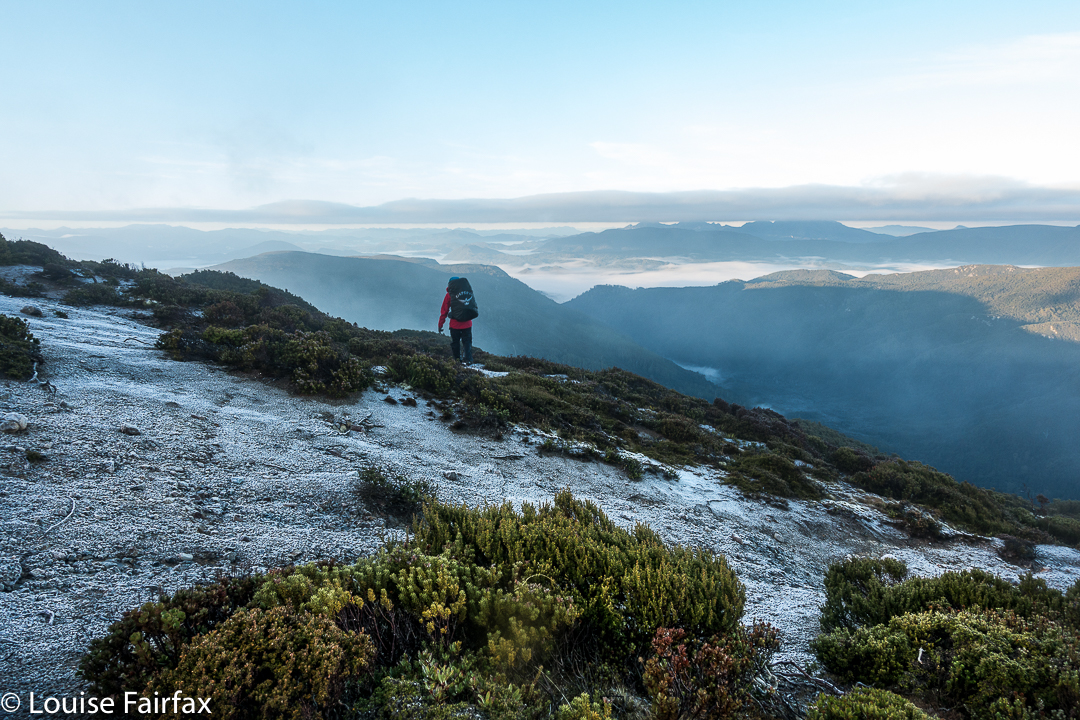
It was a freezing night. Temperature-wise, it was by no means the coldest night I’ve had in a tent (it was probably about minus four; I’ve experienced minus ten and worse), and yet I swear this night holds my personal record for condensation. My sleeping bag became saturated, and ineffectual along with it. Everything got wet. I suspect it might have been because my utterly drenched socks (wrung out, but there was still a large amount of water left in) were inside the tent, along with my somewhat damp coat and long pants. These things were inside, as they might have turned to ice if left in the vestibule. I feared my boots would freeze, but only the laces did.


In the morning, the ice layer on the tent was a thick and heavy sheet that I had to prise off using my tent peg, it being the only implement I could think of that could do the job. Normally my ice is in cute white crystals. I took ages to pack up in the morning, probably because I was dreading the moment when I would have to put those frozen socks back on, and the pants and coat that were still damp from the moist bushes the previous day. There was no point in putting dry socks in sodden boots, and carrying wet, heavy ones in the pack. It had to be done, but was not a pleasure.


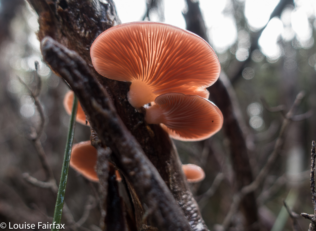
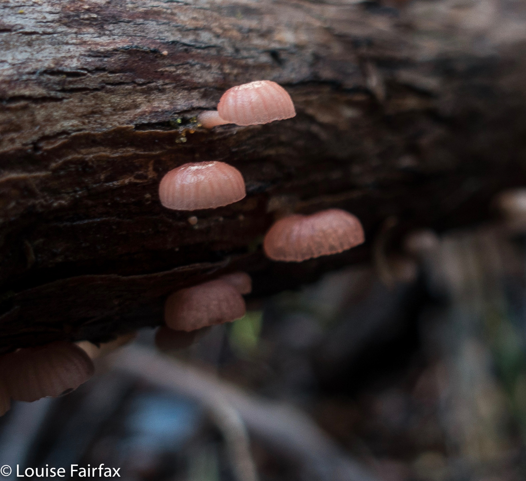
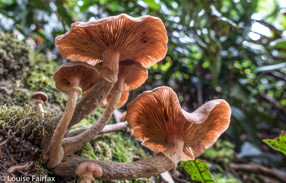
We stopped at “Stu-slept-here” Hill (1111) for a drink, but, as with other days, drinking hurt. By the time we reached the glorious rainforest section of Pigeon House Hill, we knew we would easily make it to the car in the light – it was not yet mid-afternoon, so we relaxed and started to examine and photograph darling fungi on the way along that section. They were there in their hundreds, so many delicate beauties.


I made sure the camera and phone were well sealed before the final river crossing. At least if I landed in the drink so close to the car I’d be freezing, but would not hurt my electronic gear or get hypothermia. The world was good. We’d done it.


crepidotus sp


Mycena clarkeana I think


Please don’t be fooled by the dark lines there into thinking they denote a track: they’re depicting National Park boundaries. The boundaries, and our route, follow the ridgeline. Please also note that I refer to Hill 1173″. It is that height on the 1:25,000 map that we used for the greater detail. Oddly, the 1:100,000 map, used here for greater clarity, it is marked as 1120. I guess more modern methods have resulted in a height revision. Not sure.

Picton 2017 Mar

Mt Picton. 31 Mar 2017
 

A “worthy” mountain – like Mt Picton – is like a good book that benefits from multiple readings. Each time you revisit the complexities of such a mountain, there is pleasure in a combination of reacquainting yourself with the aspects you liked the first time, with stimulation resulting from details you hadn’t noticed before, or from changes due to different conditions.


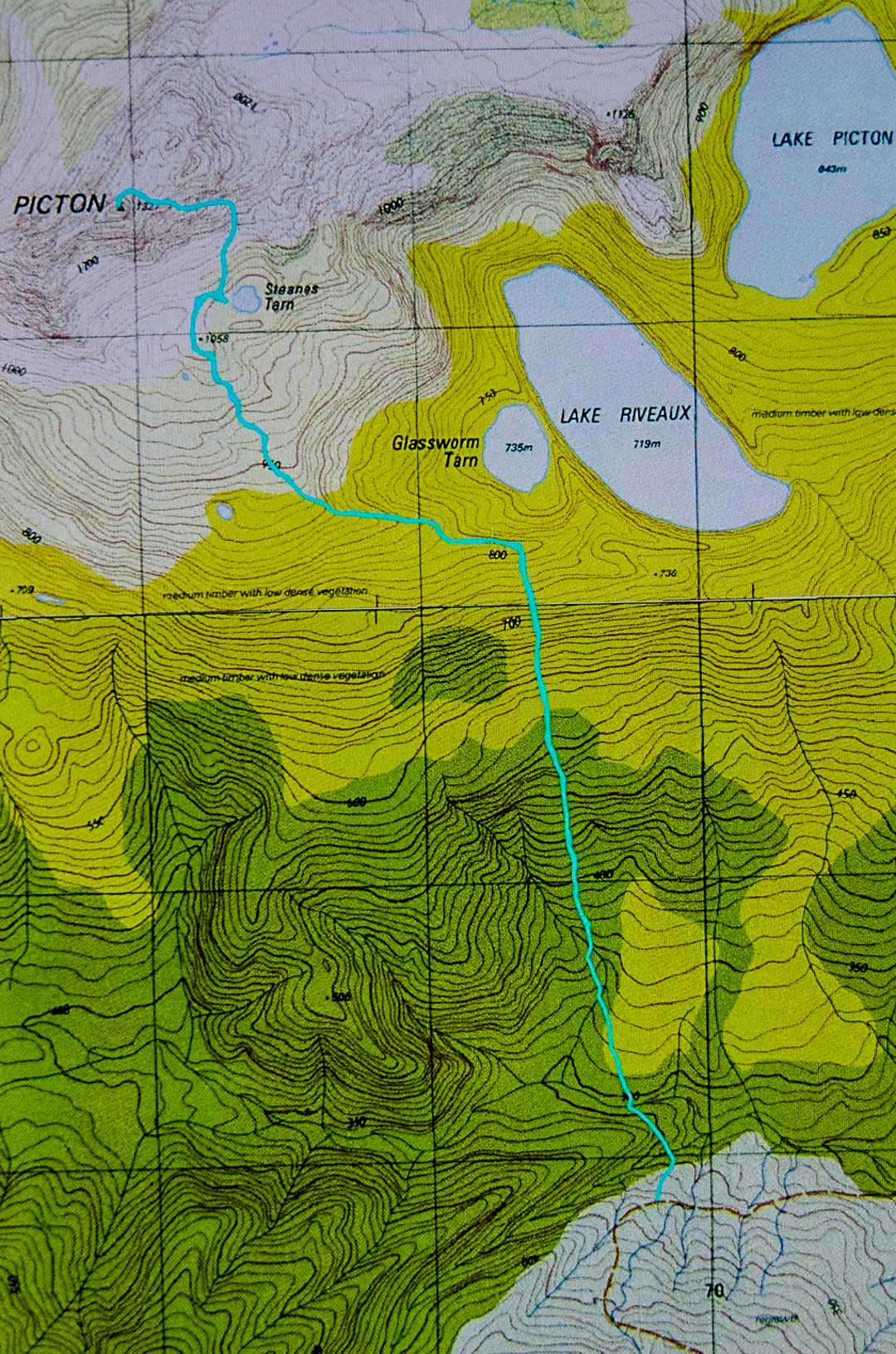
I loved Mt Picton the first time I met it, and have wanted to return ever since. The lush forest held a charm that never ceased to call me back. On this trip, I had intended to do a Picton-Burgess traverse, but had to change my plans due to family obligations. At least I had time to go up and sleep near the summit, so long as I hurried back down on the Saturday.


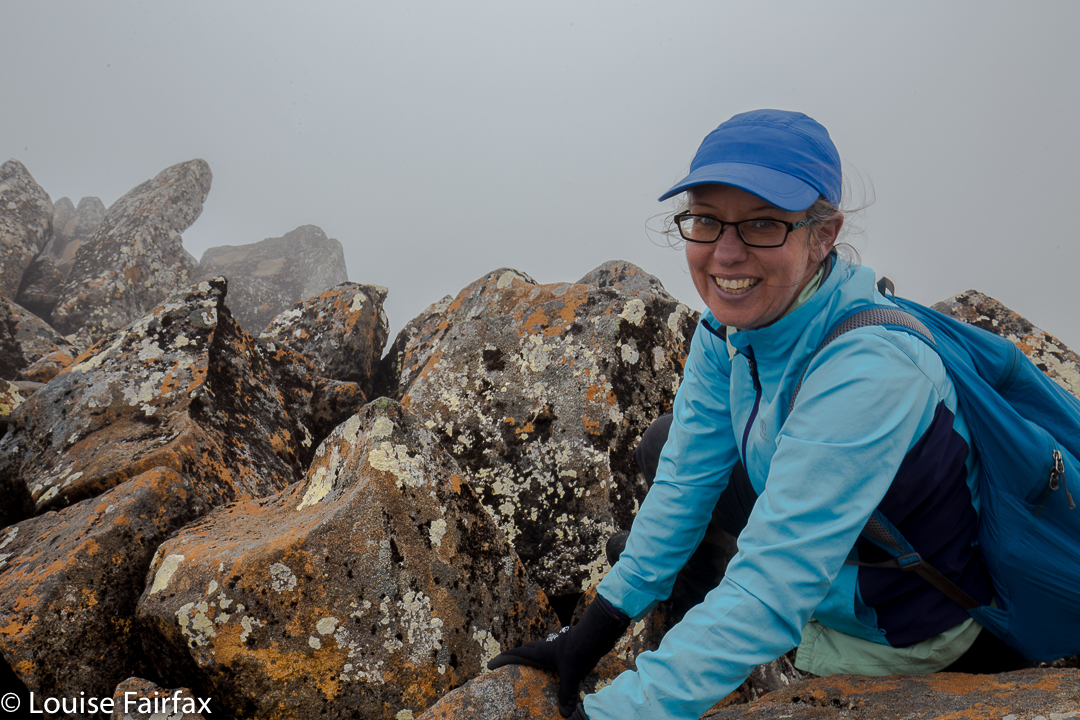
Carlin. Misty summit.
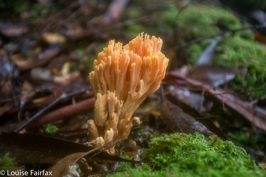
The river at the start was every bit as charming as my memory had it, and the forest as lush and green as I recalled. This time was slightly later in the year than my 2012 visit, which meant that plentiful fungi were about.
Last time, I had really enjoyed camping on a broad spur above Steanes Tarn, and climbing a knob nearby for better views at sunset. This time, I had to content myself with a spot right down near the water, as it was far too gusty and blustery to be any higher. There was no view, as clouds encircled the mountain, and the air had such a bite to it that I retired to my cosy tent before sunset (MOST unusual)!!


At 2 a.m., I was awoken by the sound of pelting rain (so I thought), and was airlifted by a few strong gusts of wind. I became quite glad I had to descend early in the morning. At 6.30 a.m., I was astonished to find a pile of white bordering the outskirts of my trusty tent. The pandani bushes abutting my vestibule had a coating of icy balls. The “pelting rain” had been sago snow. It was still unusually dark and the mist seemed quite thick. The wind had not yet abated. I was too wussy to leave the comfort of my tent, so cooked and ate my porridge, coffee and biscuits half in my sleeping bag, and packed everything from inside my tent, only emerging about one minute before I was ready to actually leave. What a glorious surprise when I poked my head out to find that the environment was white.


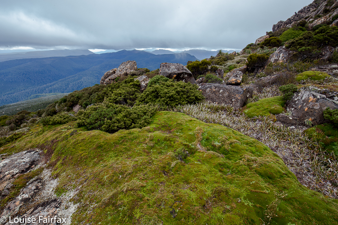
Snow fell as I edged my way carefully down the major boulder scree before entering the forest. The fungi in the moss down lower shone and glistened in their own captured water. Maybe next time I visit Picton I’ll get a full view.

Zeehan 2017 Mar

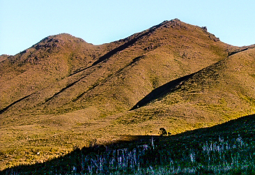
Mt Zeehan, Mar 2017. Tarkine trip, day 1.
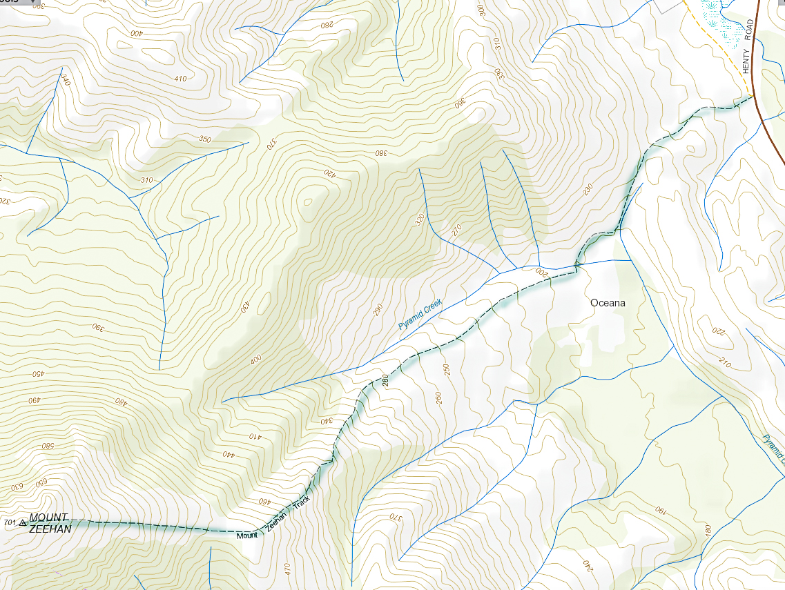
We drove 3 hours 15 mins from Launceston (plus a petrol stop), to reach the start of the Mt Zeehan track, which lies 3 kms south of Zeehan, on the Zeehan-Strahan road. It begins on 4WD track which is on the right (western) side of the road travelling in the direction of Strahan. After that quite long drive, I was itching to do the enticing-looking climb. The 4WD track that one follows – on foot; it is pretty rough – continues as far as a kind of dug-up, worked-over area, after which it morphs into a narrow path. Just before a cleared area, which could be confusing due to all the mess of “roads” and worked-over ground, the “road” you have been following forks. There is, at this stage of writing, a somewhat faded pink tape on the left of this Y. Take the right-hand option, into the mess and out the other side. Your path is the one heading for the mountain, which (on a fine day) is very clearly visible in front of you, slightly right.


Once the narrow track begins, the climb is quite satisfyingly steep (for those who love a good climb), through – as the picture above indicates – fairly open ground, until a saddle is reached. Although it is, indeed, fairly open, my husband succeeded in “mislaying” the track about a third of the way up. He just sat where he was and waited. Because it was so open, I could see his bright red T-shirt from near the top, so knew where to start looking for him. He knew I’d rescue him, so ate his lunch and dreamed a bit.
If he hadn’t lost the track there, he would have lost it in the saddle, for sure, as the flat area there is rather indistinct in terms of the track, and the vegetation gets a little taller. I’m glad he got mislaid in an area in which it was easy to spot him. Meanwhile, I was having fun getting in a bit of a workout, so just went up and down fairly quickly in order to both have some decent exercise for the day, and to return to him. The top was very, very windy, and most unpleasant – not worth a photo at all, the sea just being a hazy blur on this particular day. I’m sure that on other days, the vista would be marvellous. It never pays to climb a mountain in midday glare. I was the servant of another agenda on this day, so had no choice.
In its current state, I would not recommend this track for families, which is sad, as about 1-2 hours of secateur work would make it far more user friendly. Without that, however, any child under about twelve would have bush in its face for most of the second half of the climb, as the bushes have grown together over the track, and are at about the height of a primary school child. One climbs 600 ms in around 3kms (one way), so this is definitely a steep track.
The three hours return which is recommended is more than likely to be a good estimate for most people.

Philps Peak 2017 Mar


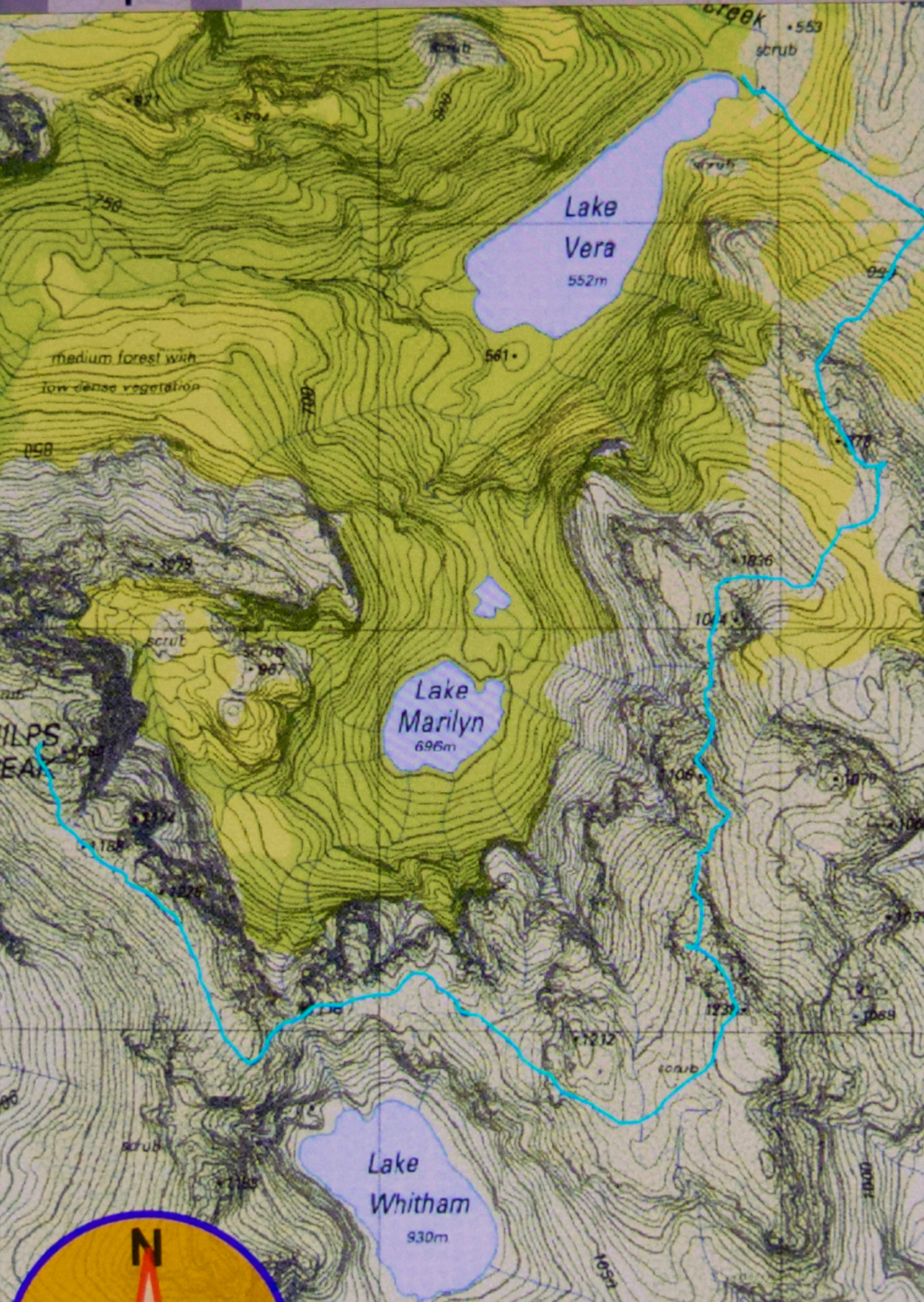
The story of Philps Peak begins as Day 4 of our Clytemnestra trip (http://www.natureloverswalks.com/clytemnestra/). On day 3, we had planned to climb to a beautiful spot near the summit of Agamemnon, but, most uncharacteristically for me, I had argued that the day was so stinking hot that it would take us hours to lug our packs up there, and that there would be no water for a day and a half if we went there, so we’d be better camping at the hut (Vera) and doing the climb as a day walk on the morrow. Angela agreed, but not with enthusiasm.


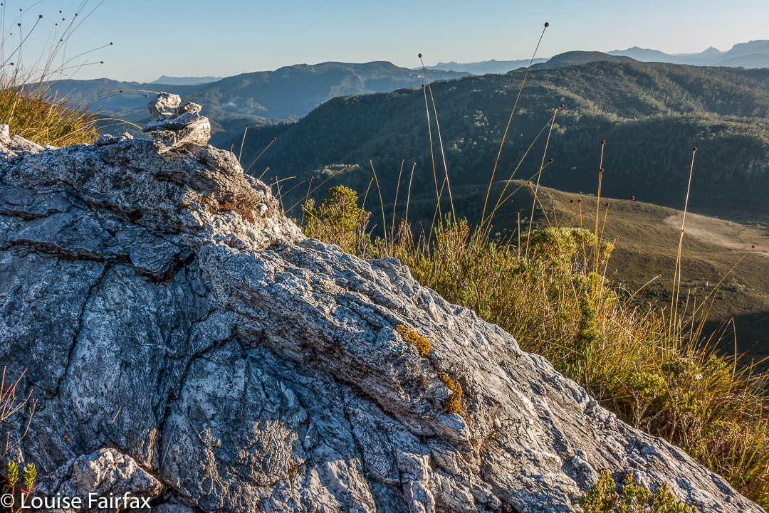
This little cairn marks the top of the first chute one climbs up on the way to the first hop, Agamemnon.
We chose a really beautiful camping spot – that is, the scenery was nothing particularly special, but the spot was secluded, set in forest with enough shade to cool but not enough to be dark. Birds and paddymelons visited us. It was just a very, very peaceful afternoon. Past ranger, Terry Reid, had donated a few bushwalking magazines to the hut, so I browsed through them, sitting in the forest on one of the many log-seats available, and organised my pack for the next day and chatted to the new people who later arrived at the hut and came past our idyll on their way to have a swim. I also had a lovely walk going back to the stream where I had noted that there was a waterfall that could perhaps be reached with a tiny bit of an offtrack detour. I was joined in this by new friend, Kent from Queensland, who also liked waterfalls and fungi.


We call these rocks The Four Ugly Sisters. They lack a name on the map. One heads to the left of them on the approach side.
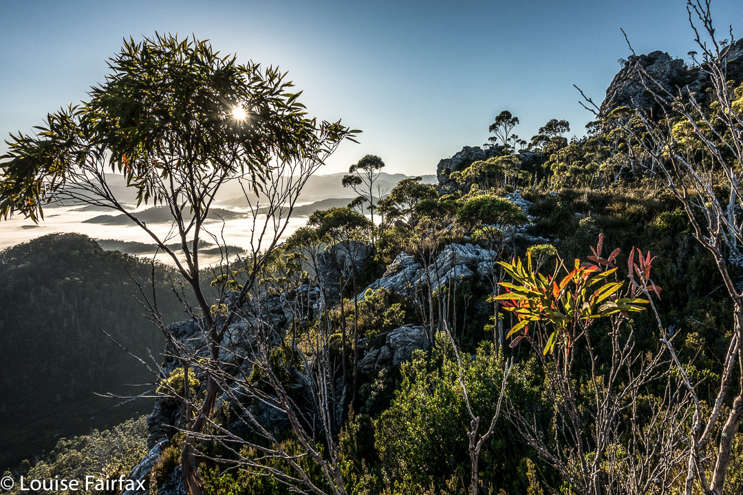
On summit day, we set out nice and early to get in as much distance as possible before the real heat dominated the day. The light was superb, and we had about two hours where the air felt fresh and the light was clear before heat and glare took control. This means we got to the summit of Agamemnon – and even beyond, to where you first have to lose some height – in pleasant conditions.


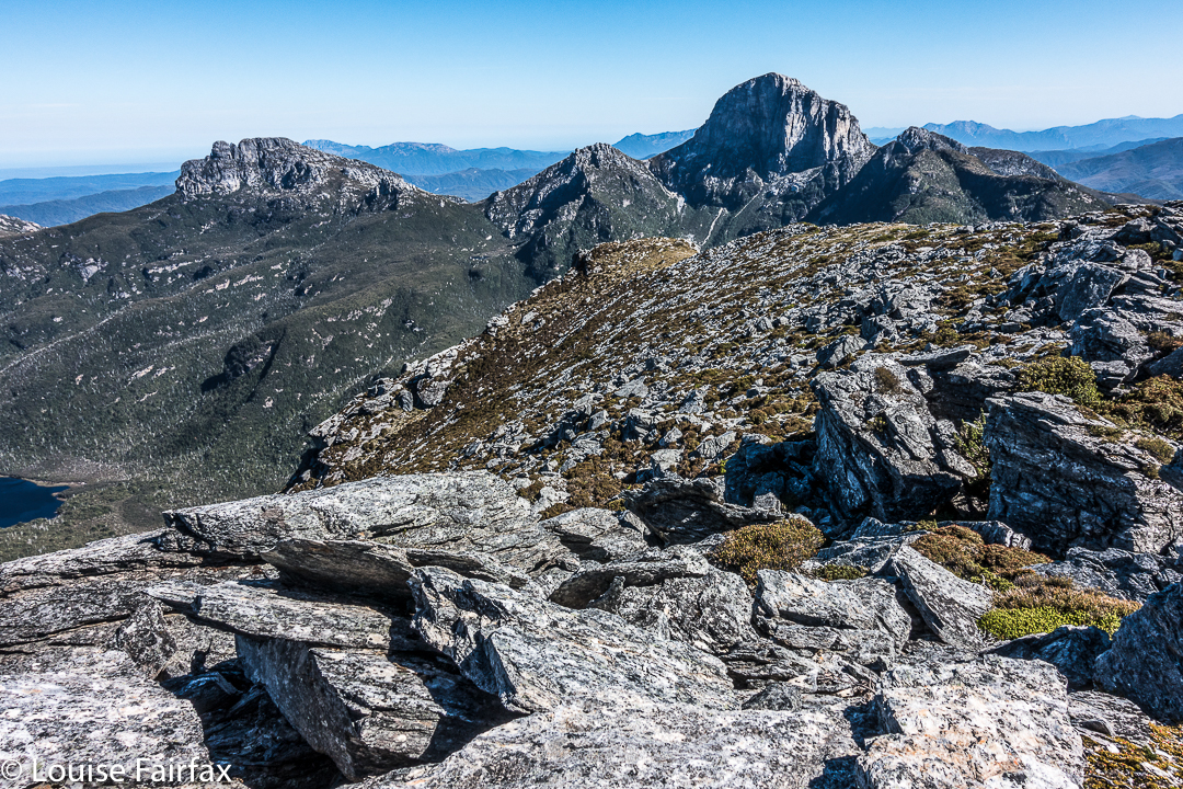
Summit view. That’s Frenchmans Cap and Clytemnestra (far left) dominating the scene.
In between Agamemnon and Philps, in a saddle before you climb up onto the main ridge that leads to Philps, we found a truly nasty bit of scrub, where the forest was dense and unbendable and a pain to get through. At least the scoparia wasn’t scratchy (too tall for that), but it sure resisted our attempts to push out to the other side. This hiccup didn’t last too long, however, and we have both endured much worse than that, so it hardly marred the day irrevocably, even it did detract from perfection. There must be a nicer way through that stuff, but we didn’t find it in either direction. It occupied maybe thirty minutes of our time each way (guesstimate – I didn’t look at my watch; it felt like that amount of time, but maybe it was less).


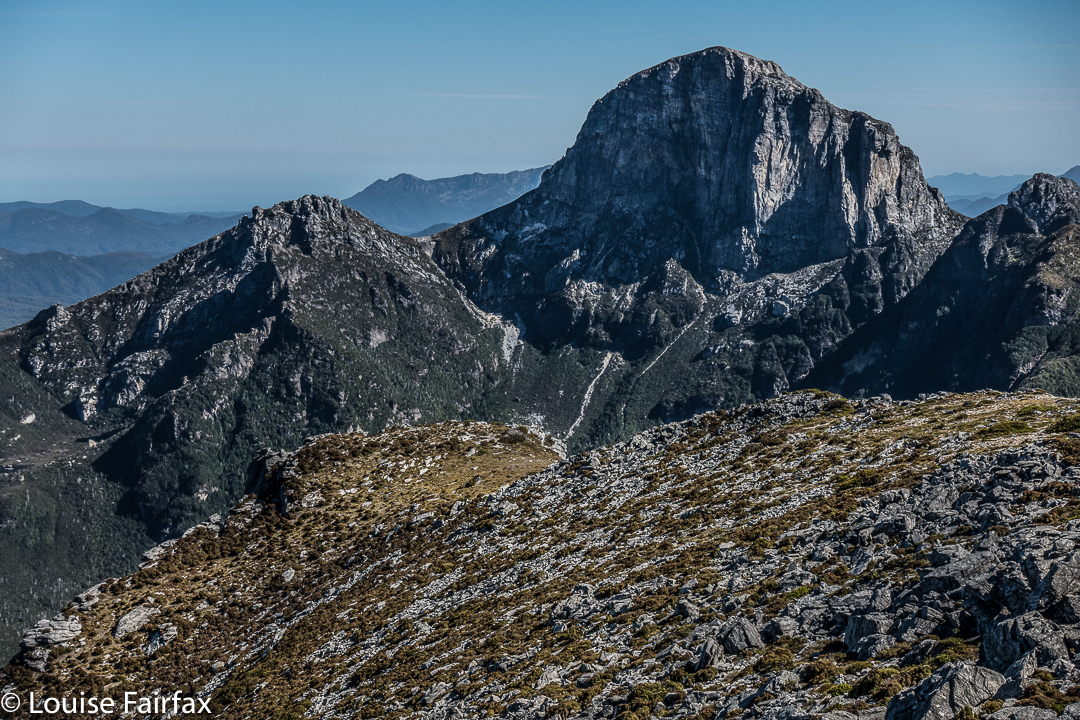
Frenchmans Cap in all its glory from Philps. What a grand hunk of rock.
Once we’d negotiated that obstacle, there were no more difficulties. We climbed up a chute to the high ground of the final ridge, and walked along its pleasantly open line to the final summit climb, which was not challenging. The sun was right in my eyes every time I looked up to try to see where the best line might be. That was perhaps the most difficult thing we encountered.


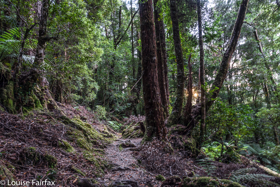
Forest next day on the way out.
On top, the view was amazing. I couldn’t believe how far visibility extended. There was Barn Bluff, days and days away, and Ossa, Pelion West and East, High Dome, Byron, Cuvier, Olympus. So many mountains normally not seen together, separated by many days walking if you are on foot. It was grand.
We tried for a better line through the junk on the way back (of course), but I think this one was even worse. I got so entrenched in scoparia limbs that I had to take my pack off and push it along the ground in front of me while I crawled under the unbendable tangle of wood. I thought for a tiny while that maybe I was going to spend the rest of my shortened life right here. No direction offered the possibility of movement.


Yes, a few courageous (or ignorant / mistaken) fungi are out already, having heard that it’s autumn and not being aware that summer has just arrived.
Apart from that insult, the way home was uneventful. I was looking forward to a swim (yes, this is Louise writing) and ridding myself of these stinking clothes full of forest debris that had fallen down my neck as I tried to push a path through the bosky barricade. In the end, of course, I wussed out. I sat beside the little beach in my undies, staring at the cool waters, but letting the gentle breeze that caressed my bare skin do the job of cooling me down in the dense shade of that spot. It felt like a swim, but didn’t have the inconvenience of wet gear.