Clytemnestra 2017 Mar


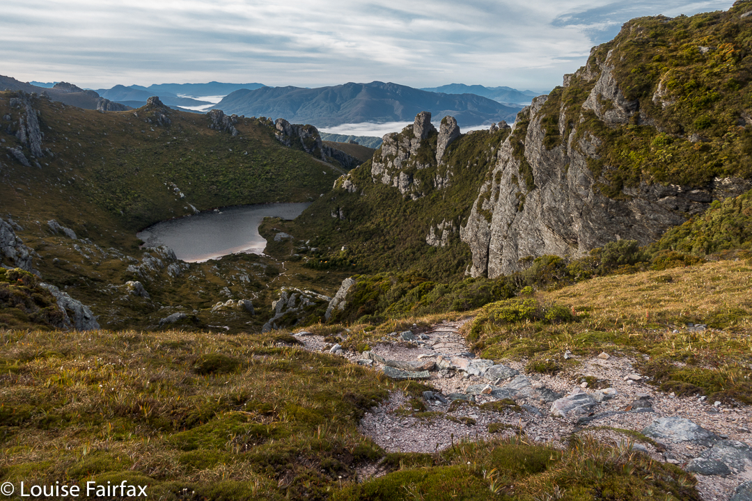
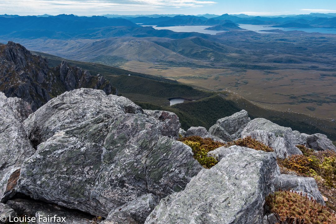
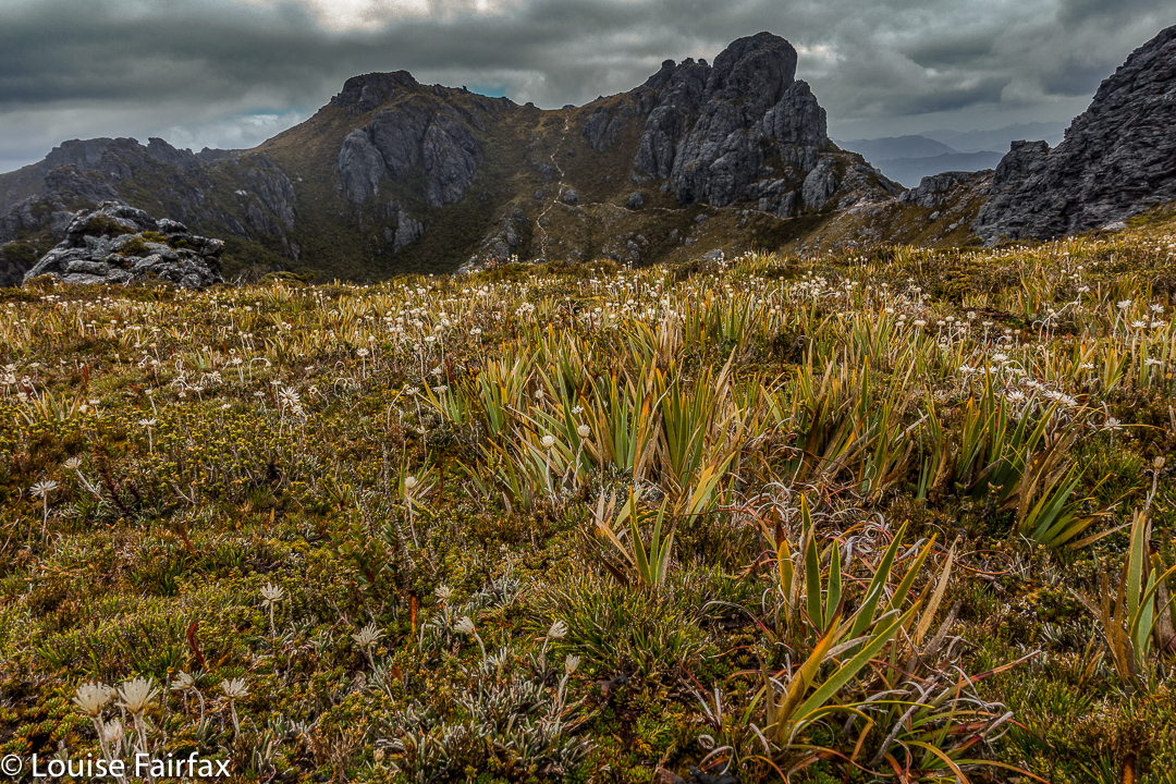
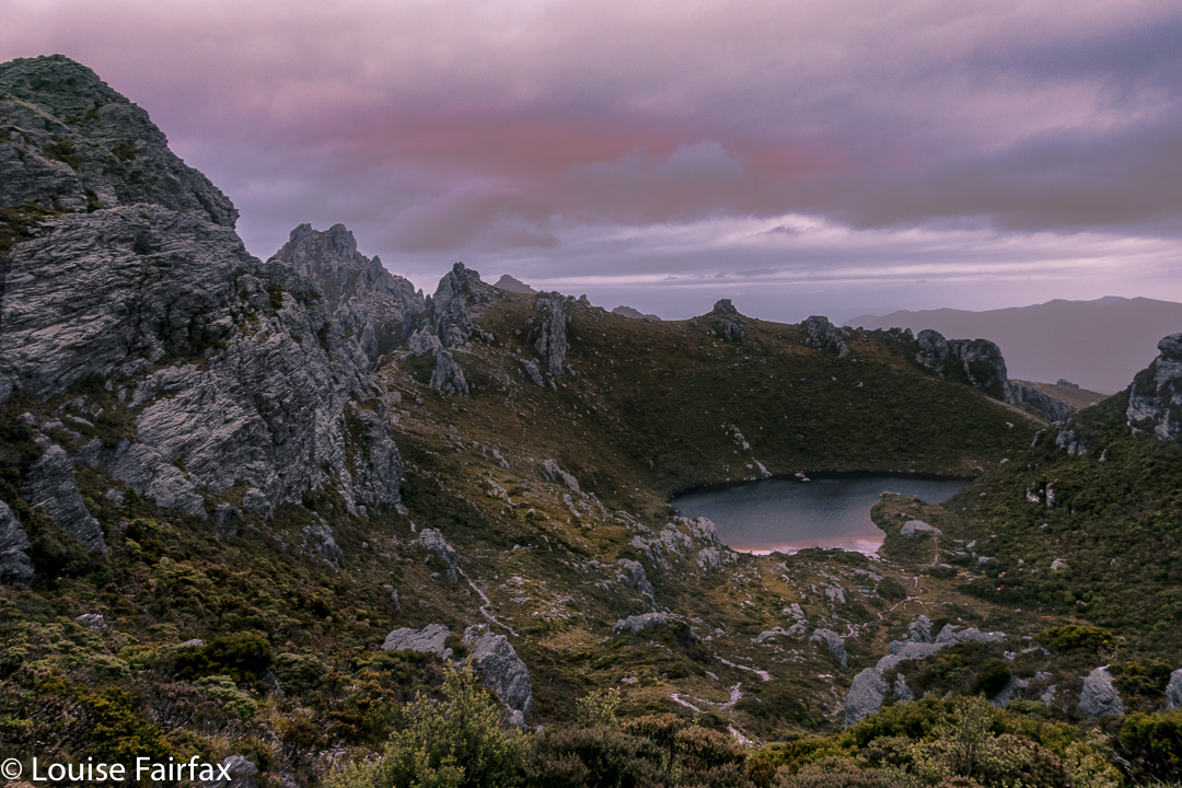
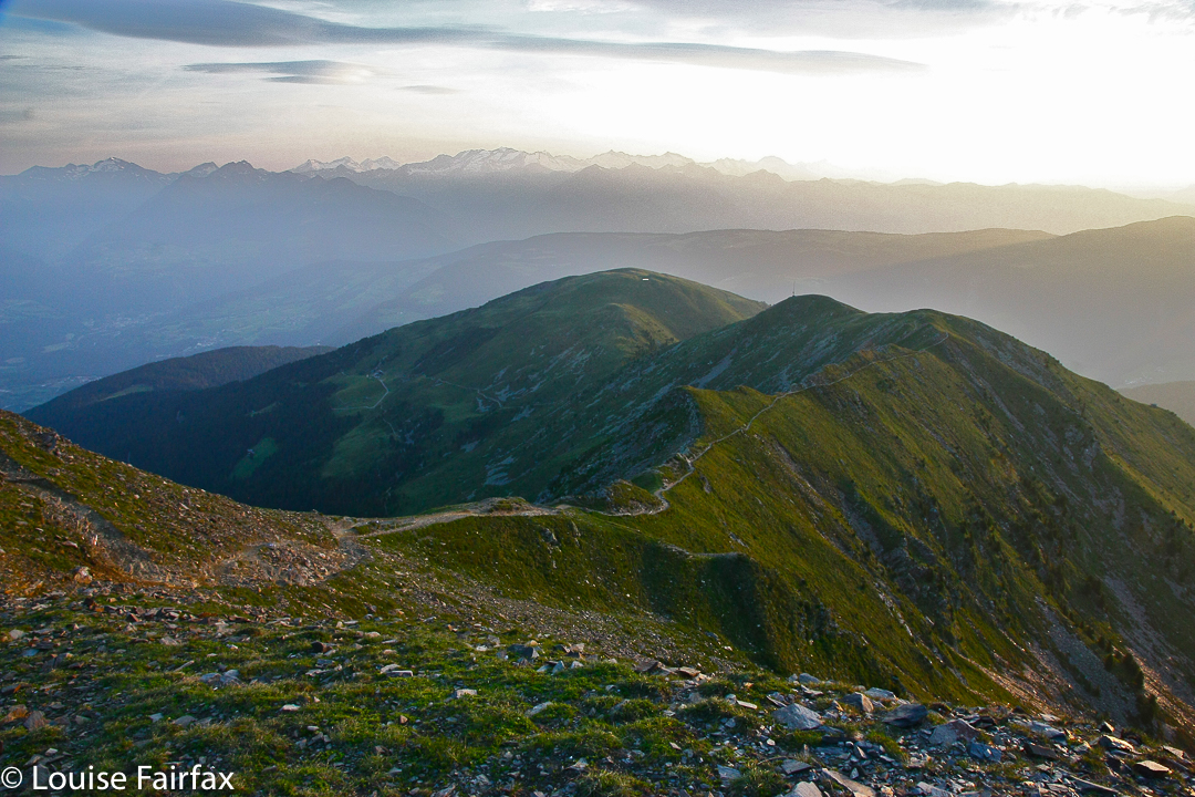
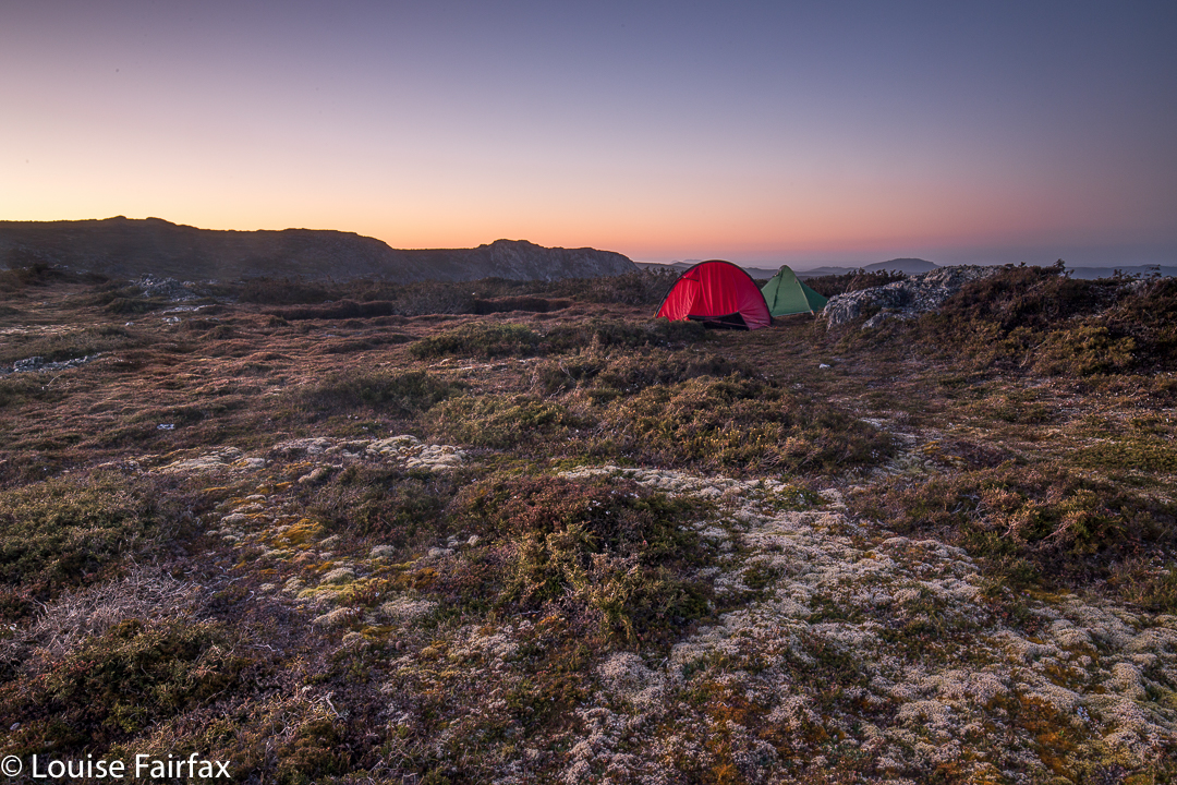
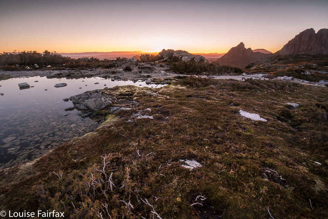
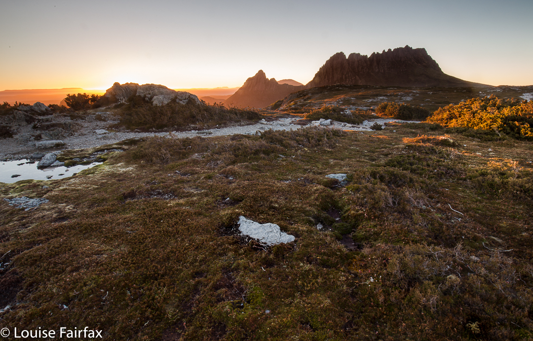
Beautiful morning on day 1 to begin our mission.
When I first heard that to climb Clytemnestra one needed to drop over the edge of Frenchmans Cap, I was filled with horror. Do you know the cliffs that shape the Frenchman, my reader? They seem formidable from any distance. However, the notion of climbing all the Abels had been planted in my brain by my former climbing partner, and had taken root there, and if I wanted to achieve that goal (still not sure, actually), then I needed to conquer any misapprehensions I felt with regard to dropping off the Frog’s hat.
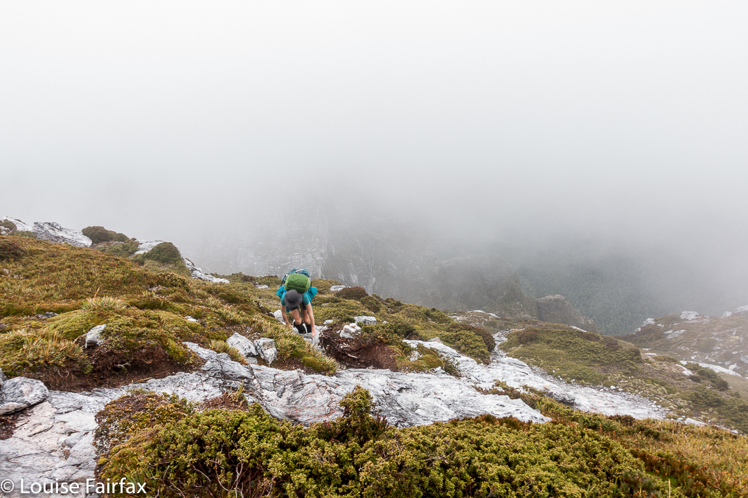

Climbing Frenchmans
Off Angela and I set on the start of this little mission, past Vera Hut too early for lunch, which we had upstream. In case you’re also there in a dry time of year, I’ll tell you that the last water after leaving Vera is about 45 mins up the track, where it crosses the creek for the final time. We arrived at Tahune Hut  mid-afternoon in plenty of time to choose a scenic spot for out tents, to organise our gear, and to go swimming (Angela) or to chat with others (Louise). I must have sweated a lot, as I needed a copious and salty afternoon tea, staring out at mountains reflected in the amber waters of the lake.


Our plan for day 2 of our venture was to set out at 7 a.m., but at 6 the continuing sound of heavier-than-we-liked rain had us push back the time to 8, … and then to cancel the idea of climbing altogether. However, at 10 it looked as though it might be clearing, so we decided to give it a go. Maybe this was a recce, maybe this was a climb. Time would tell. At least it was some exercise for the day.


Getting near our goal by this stage
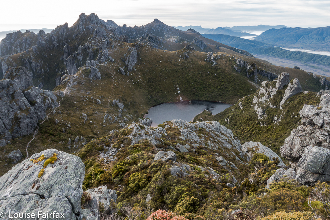
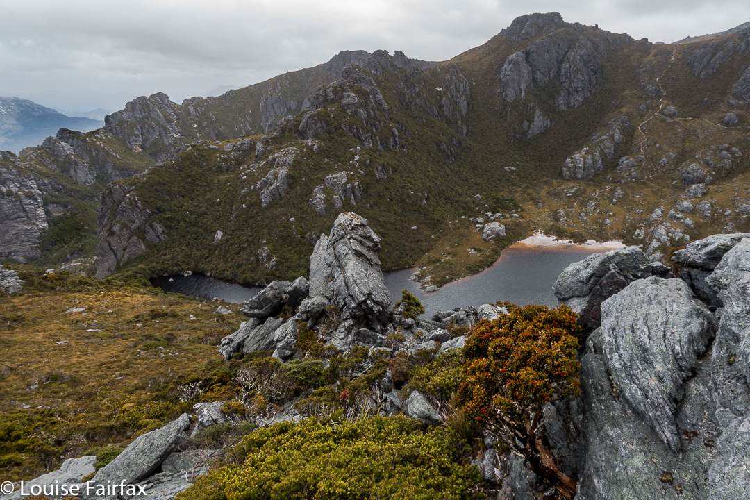
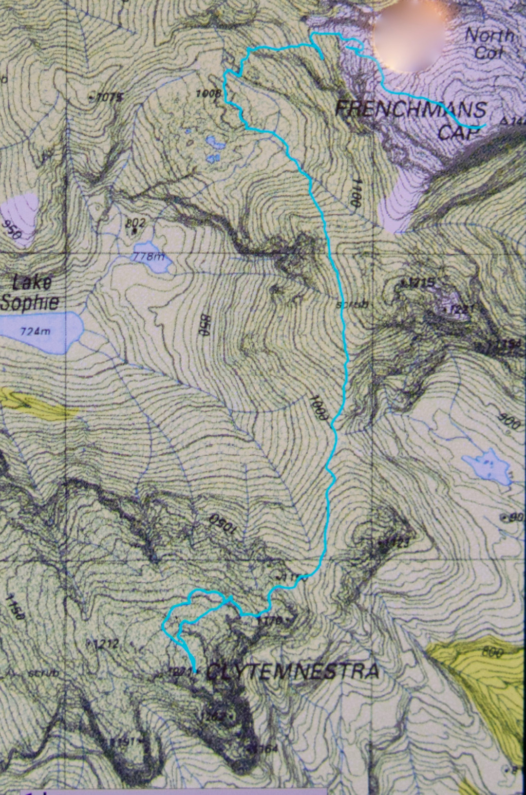
We were on top by 11, enshrouded in thick mist, but decided to continue this recce business a bit further, and to try, at the very least, to find where we’d drop off the cliffs on the morrow, perhaps saving ourselves time then. We attempted two chutes that ended abruptly in dead ends (excuse the pun), but on the third attempt, managed to negotiate our way down the slippery rock with success, which meant we reached a knoll near the two tarns at the mountain’s base, 1 hr 10 mins after leaving the summit. I was still in recce mode. Angela didn’t comment. On we pushed, now proceeding up the lightly bushed ridge that connected with the main Frenchman-Clytemnestra one, and then contouring around its belly to avoid unnecessary climb. When we rounded that bulge the mist cleared enough to give us a brief glimpse of our grail – way, way closer than I believed possible. Angela was now excited and announced that this was no longer a recce. We were climbing this thing and now. I would continue forward, but reserved judgement on the certainty of success.
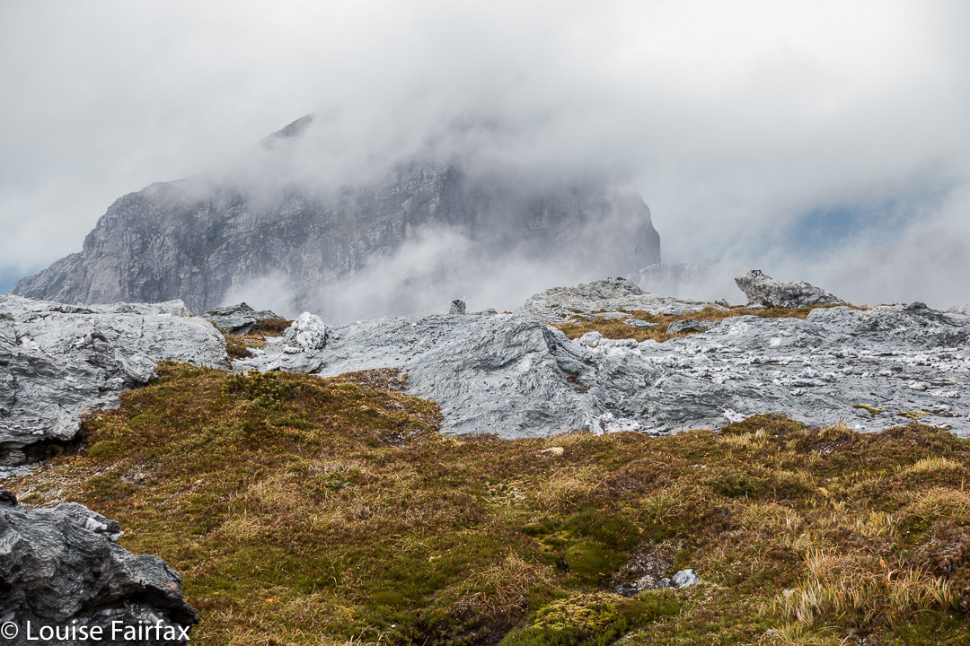

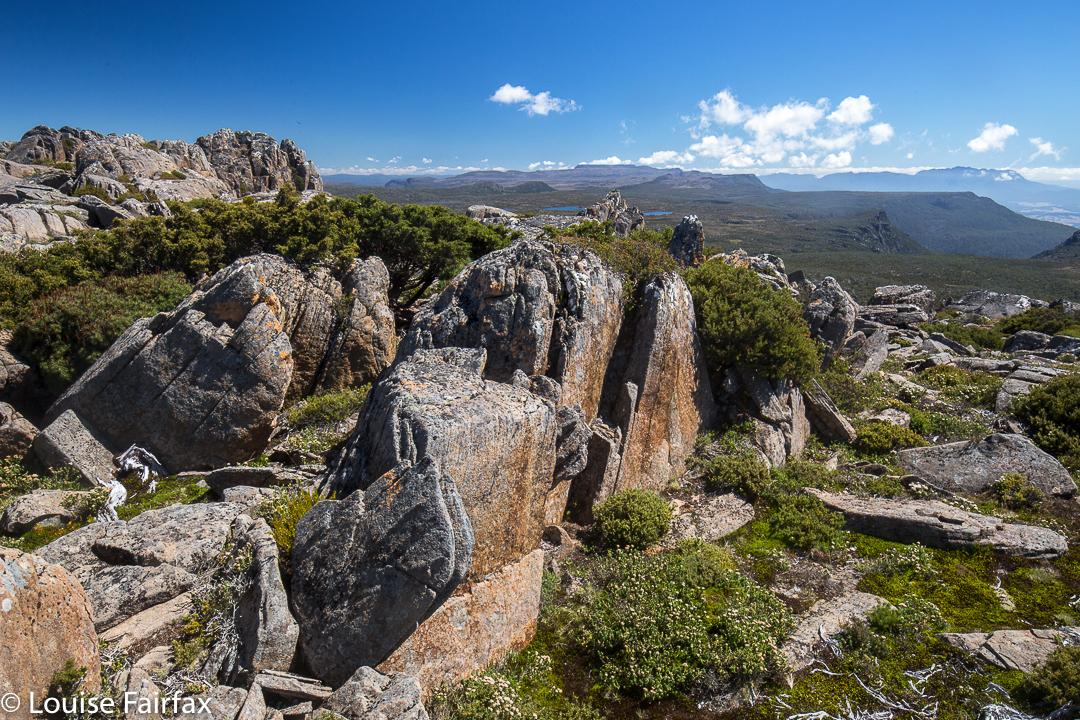
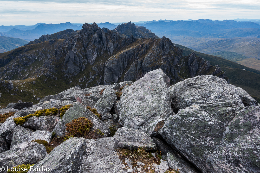
The cliffs of Frenchmans, teasing us while we had lunch on Clytemnestra
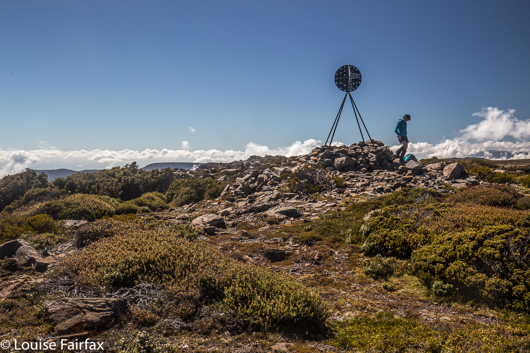
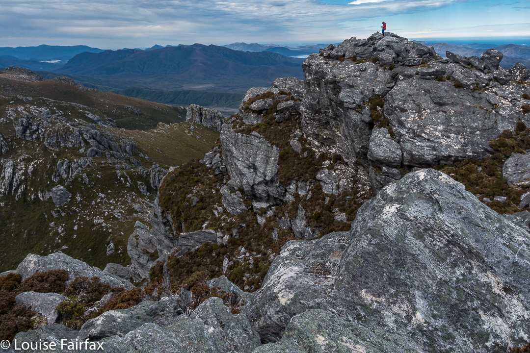
Into the final saddle, with only some cliffs between us and the summit cairn, I still refused to believe. Up, right, up, right, we climbed, walked, climbed, walked, until, truly amazing: there, fifty metres in front of me was the summit cairn. Only then did I allow myself to believe we were really going to do it. Ceremoniously we approached and touched together.
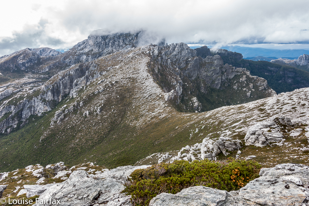

The route back to Frenchmans. We thought the mist was clearing!
We had lunch on top, watching the mist swirling around us, every now and then allowing a teasing half-glimpse of the silhouette of Frenchmans. At this moment, when I decided to consult my phone which had been tracking our route, I discovered that the battery was basically dead and I couldn’t even see the screen. Our homeward route was thus concealed, but, no worries, we have memories. Off we set.
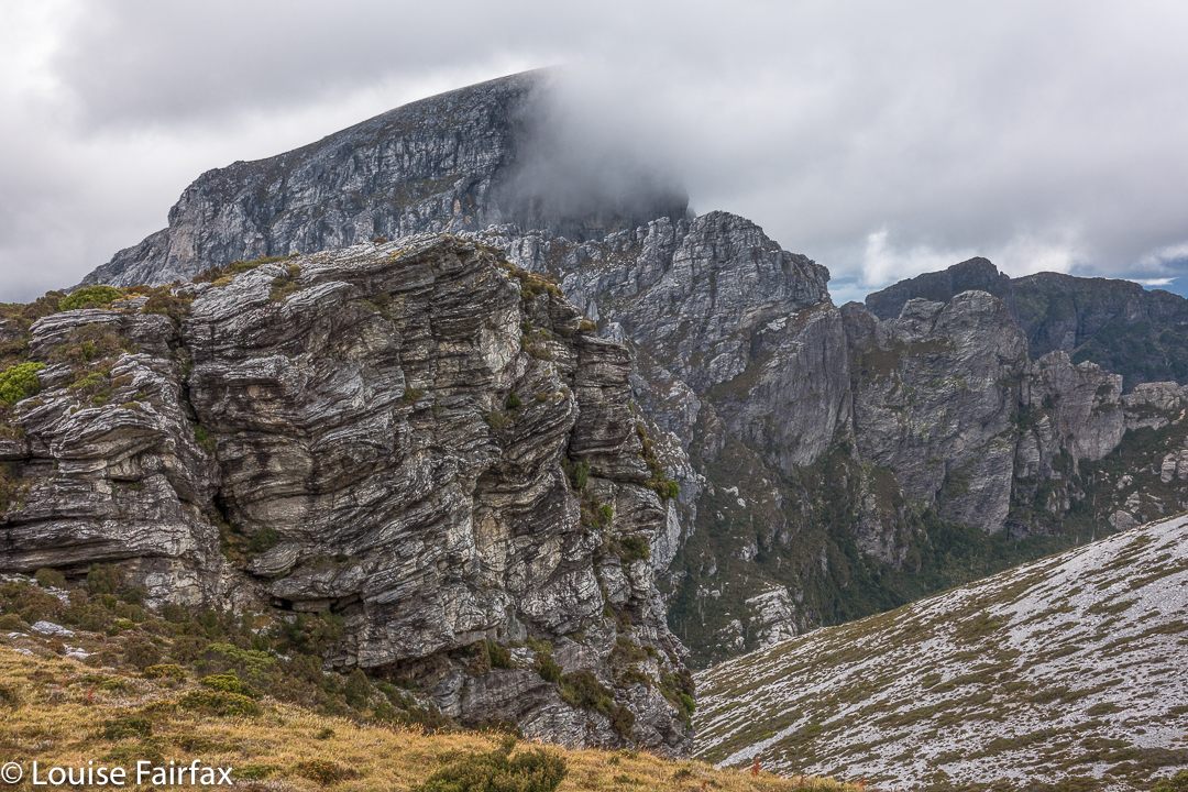

We have to go over Frenchmans (back) before we drop down to our tents.
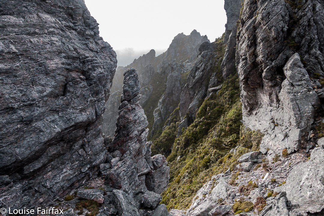
There were no mishaps until it came time to choose which chute we needed to use to climb back up onto the main massif. At that time, the mist was particularly thick: visibility was zilch, and it felt like hours later than it actually was, with so little light penetrating the thick clouds. I did not like this at all. It felt like these conditions were set in for the remainder of the day, and we would never be offered a glimpse of a possible route. We were in a nasty cliff maze with no perceptible way out.
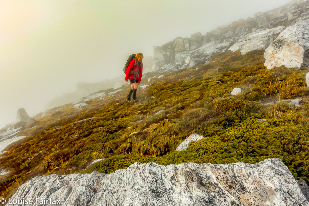

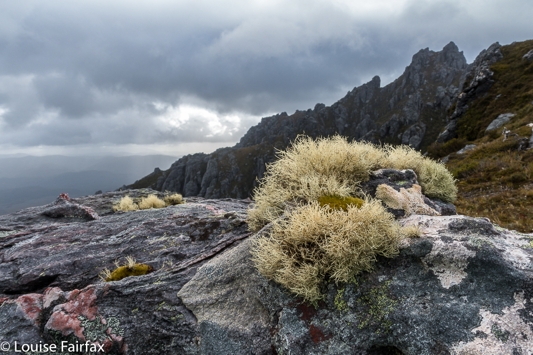
Eerie light as the sun tries to break through (before giving up again).
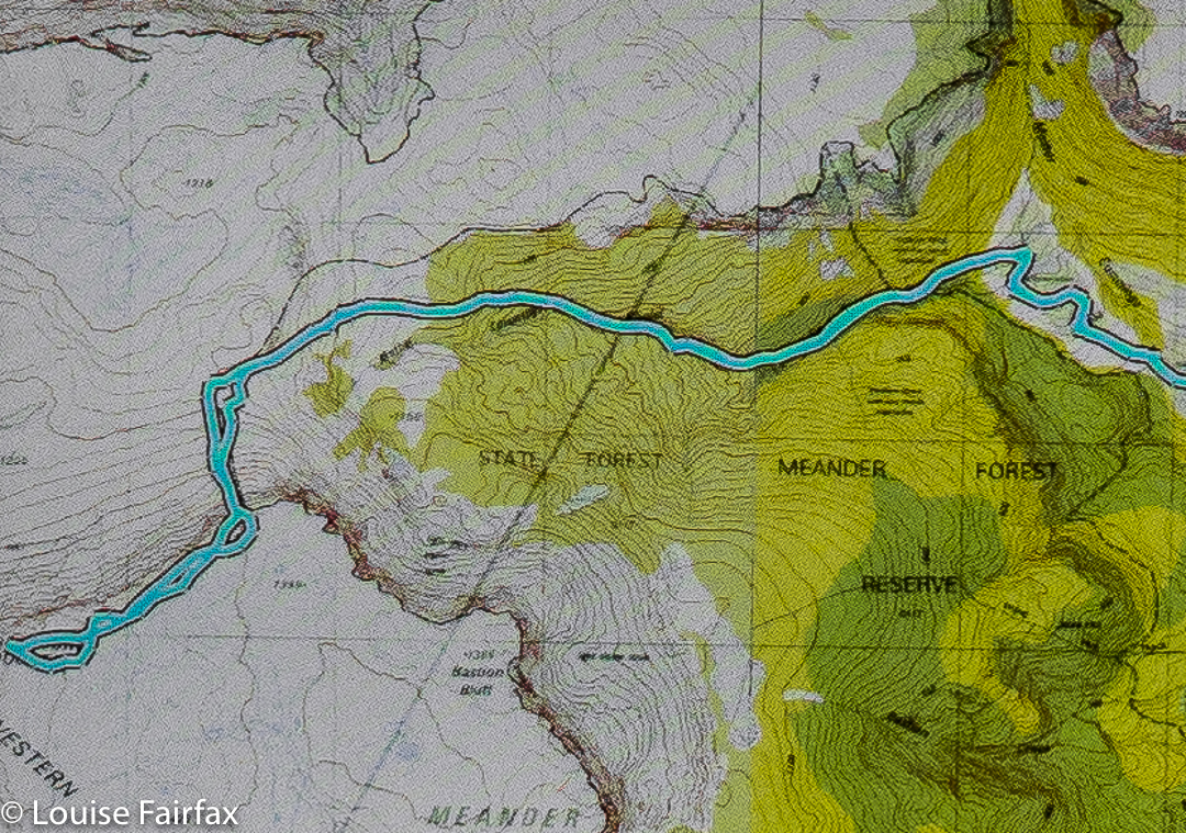
Luckily, before we left home, I had emailed Hobart Walking Club and received a gpx route, which I had transferred to my phone, and forwarded to Angela, who had also downloaded it. Now was the moment to consult this route on the phone that still worked. We could see the other club-member’s track, and our position relative to it, and note that we needed to contour a bit to the east before we would intercept it, and then follow it due north for about 150 ms, when, with luck, an attractive chute should reveal itself. It did. The feeling of relief as we emerged on top, and I knew that we just had to keep climbing – no more chutes, no more difficulties – was enormous. As we climbed higher, safe and sound, mission successful, a kind of golden circle where the sun should be coloured the mist and lent the landscape a temporarily yellowed hew. Everlasting daisies, in funny, closed cups, shone silver in the tinted light.
Ironstone via Smoko Creek 2017 Feb

Mt Ironstone via Smoko Creek, Feb 2017.


There are myriad different reasons for needing to get into the wilderness, but a large number of us seem to feel this urge to some extent or other, whatever our driving force or motivation. I have a very strong and oft repeated need, and luckily, it is shared by my bushwalking buddy and good friend, Angela.


This summer has been filled with a large number of long expeditions, sometimes involving both of us together, and yet we hadn’t got out, just as a duo, to explore something new, climb something different – seulement nous deux – for several months. Angela knew that my days in the ICU watching over my husband had left me feeling cooped up and agitated, and suggested a daywalk this weekend. What a wonderful idea. I needed the wilderness; I didn’t just want it. Mt Ironstone was the solution.


I last climbed Mt Ironstone in 1988 (with skis on my back, that got tangled in almost every myrtle tree), reaching the summit on a glide. I wanted to return under conditions that offered something to see, and this seemed like the perfect opportunity. The last time we’d used Syds track; Angela too. I had decided that when I returned to take photos, it should be via Smoko Creek. Luckily, Angela had also not tried that route, so it was settled. Now we had something new to do.


We parked near the collapsed bridge and proceeded along the ex road (now picturesque track) to the former parking area, reaching it in 20 minutes. This area offers a turn to the right to Mother Cummings Peak and Smoko Falls, and one to the left to Chasm Falls and Mt Ironstone. Funnily, we chose left. In a further 22 minutes, our narrow pad with metal markers and sometimes pink tape diverged, with one route (left) leading down to the creek, and another (right) up the spur. We took the spur route (neither direction was labelled) and continued climbing, soon crossing Smoko Creek by a log with wires to stop us plummeting to our combined deaths. I would not take children near this log unless they were exceptionally responsible.


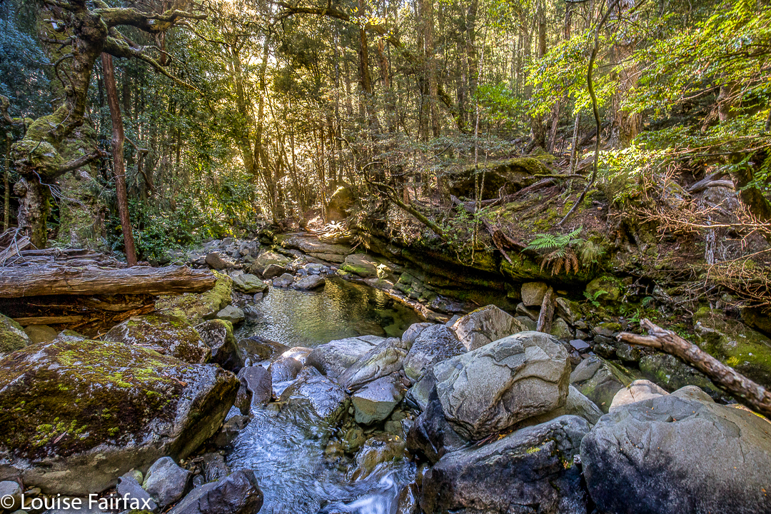
The forest had already been wonderful, but from here on its perfection seemed to reach new heights. If you want to believe in fairies and goblins and elves and ents, just come here and witness the weeping King Billy Pines and lush myrtles, the moss, clear pools and abundant small cascades. I was desperate to photograph some of these scenes, but we were intent on reaching the summit. Photos (mainly for me) and swimming in one of those holes (Angela) could come later. I eyed up scenes I wanted to shoot, and Angela tried to choose the perfect swimming hole as we climbed, past mossy caves and ledges, exclaiming about the beauty as we rose.


Eventually we emerged from this wonderland into drier bush, but it didn’t last too long. At first the track was still discernible, albeit with difficulty, but later – in the flatter area near a saddle-zone – it became downright vague, so we just followed our noses to the scree area, and climbed up it to the plateau on top. Once there, it took us about half an hour, at a guess, to reach the summit. Again, it was a “choose your own path” area. We were at the summit three and a quarter hours after crossing the river at the start. Oddly, perhaps, the downhill journey took us ten minutes longer than the climb – but maybe that’s just because we both love climbing, so proceed somewhat excitedly upwards, but are never in any particular hurry to leave our idyll. The extra time to come down does not include the time for photography, swimming, or for gazing while we had a snack beside a pool.


We pulled out of the carpark at 5pm, thus timetabled out of our usual cake and coffee at the Raspberry Farm, which is sad, but it will be there for next time, and the forest and mountain had had a stronger call on our attention.

Western Arthurs 2017 Jan. More rain + snow


Most of us who love bushwalking do so because we love nature, and one of the things we love about nature is its ephemerality, and its unpredictability. We can never count on a repetition of a beautiful moment. Its adventitious arrival thrills us precisely because it cannot be arranged or designed by us.


We always feel ourselves particularly blessed to have been allowed to see such a spectacle. But equally, and because we do not get to boss nature around, it sometimes throws weather or events at us that are perhaps not what we would have ordered had we been allowed to do so. We have to accept this aspect of nature as well as the parts we revel in – and, in fact, many of us take a perverse delight in the wild side of nature anyway, knowing it’s part of the whole package that we adore.


Those of us on the recent HWC expedition to the Western Arthurs had to take this on board. Our intention had been to traverse the whole range. For several of us, this was not the first, or even the second, attempt at doing this. First, we had to delay our start by two days because it was snowing and freezing up there, making it unpleasant and even dangerous in spots. And then, while we were up there, new weather reports promised a repetition of this, combined with howling winds. This was not a week to be doing tricky climbing, or to be camping up high. We put our tails between our legs, and retreated, yet again thwarted by the conditions. I don’t mind being out-trumped by nature. I like to think humans are demonstrably not as grand and in control as we presume ourselves to be. Perhaps a little more (and helpful) respect for forces greater than ourselves can emerge from such encounters.


So, what are some results emerging from this weather, other than our turning around and doing yet another descent of Moraine A? Well, all the rain preceding our trip meant that the notoriously muddy Port Davey track was in fine form, with excellent depths of black squelch to be fallen into by the unsuspecting walker, thinking that he or she was stepping onto a piece of ground (wet, black, sodden) like all the other bits of ground. Plomp. In they go. Boots, gaiters, pants all became coated in a thick layer of ooze. I couldn’t pull my overpants off when I got hot as mud filled the zip and it wouldn’t move. Oh well. The positive side of this is that carrying water was unnecessary: it was readily available at almost every step of the journey. (Despite this, tent sites were not too squelchy.)


One had to be very careful about where one pitched one’s tent, as the howling winds announced their presence in rowdy terms. The winds changed direction and force during the night too, catching out certain walkers that we met. Everything became just a little bit more difficult.


It was pretty cold for summer. The lakes did not score swimmers. In fact, my beanie was on my head for almost the whole time – day and night. My coat never came off once, and most of every day I wore both my padded coat and my Event Anorak to keep out the wind. I also wore an icebreaker the entire trip.

I would like to say that a positive aspect of this weather was moody mist and dark, interesting clouds. However, I must say that I found the sky difficult to photograph this trip: it was just a little bit too light, and, as I was on a supposedly long expedition, I hadn’t brought my full frame camera with GND filters to darken things down. I struggled to avoid washed out areas.


I didn’t get to climb any new mountains or tread any new paths, but, hey, a party that only has people you know is not a bad party. I reclimbed things, and explored areas that I knew more thoroughly. I also got to meet new people – both in our group, and amongst the others who happened to be camped near us, or whom we met on the track. Some along the track that I met wanted to complain about the mud, but, really, it is not such a bad thing, as it helps keep the numbers down, and to deter many of the people who couldn’t actually cope with the real Western Arthurs, the high, ferocious, untamed bit “up there”. (The severity of Moraine A also helps in this regard). Take away that mud, attract even larger droves of people in there, and the place will be ruined. It’s already overcrowded to a disturbing degree.


In the course of our trip, we encountered a walker without a map, one without any kind of a rain jacket, people using a kind of tarp-shelter rather than a tent, many people who didn’t own thermal or woollen gear but were relying on cotton garments to keep them warm, people who didn’t own down bags, and many, many people who had no idea of the weather reports. This area is too popular for some of its users’ own good, I fear. If you want to visit the Western Arthurs, do yourself a favour and go to a reputable bushwalking shop to discuss your gear, and please also consult the excellent website run by the Bureau of Meteorology, both before you leave, and in high places when up there, so you can get an update. Knowing what to expect, and reacting appropriately to bad reports, is very important. It goes without saying that a map and compass are essential. This is not continental Europe: there are no cute yellow signs up there, and there are no splashes of red and white paint on rocks. When the mist closes in, it is very easy to get totally disoriented, even with a compass! And once the bad weather arrives, you may not even meet anyone who can help you, as they will be either sheltering in a tent somewhere, or they will have cleared out, to try again another time.

ITALY Dolomites AV2 (alta via duo) 2013 A broken sternum

Italy, hiking, AV2, Dolomites: a sad case of a broken sternum
I was most surprised when tidying up my blog – now that I can at last see things alphabetically due to changing to wordpress – to notice that there were a few omissions in my posts, such as the AV2 trek of 2013. Perhaps the fact that I struggled to do it with a broken sternum, and, in the end, retreated home in a great deal of pain, has something to do with forgetting to write it up at the time. Don’t worry. I remember it well.


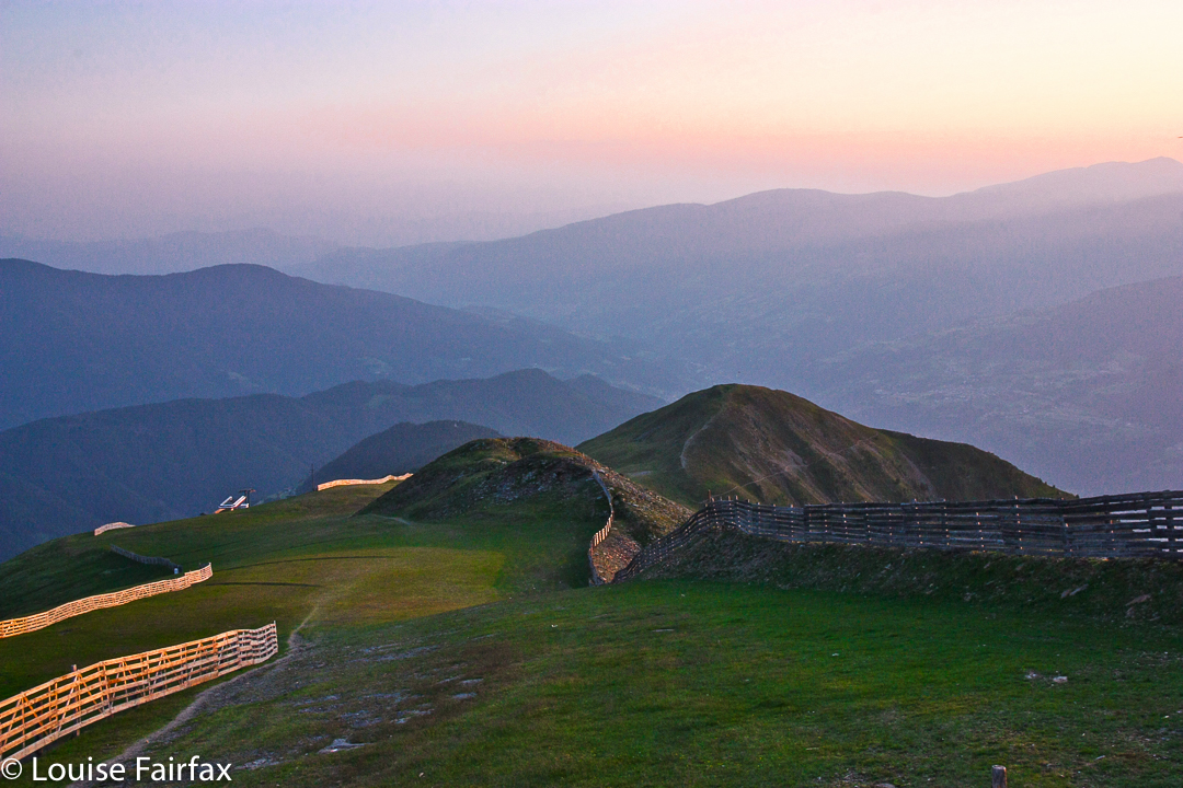
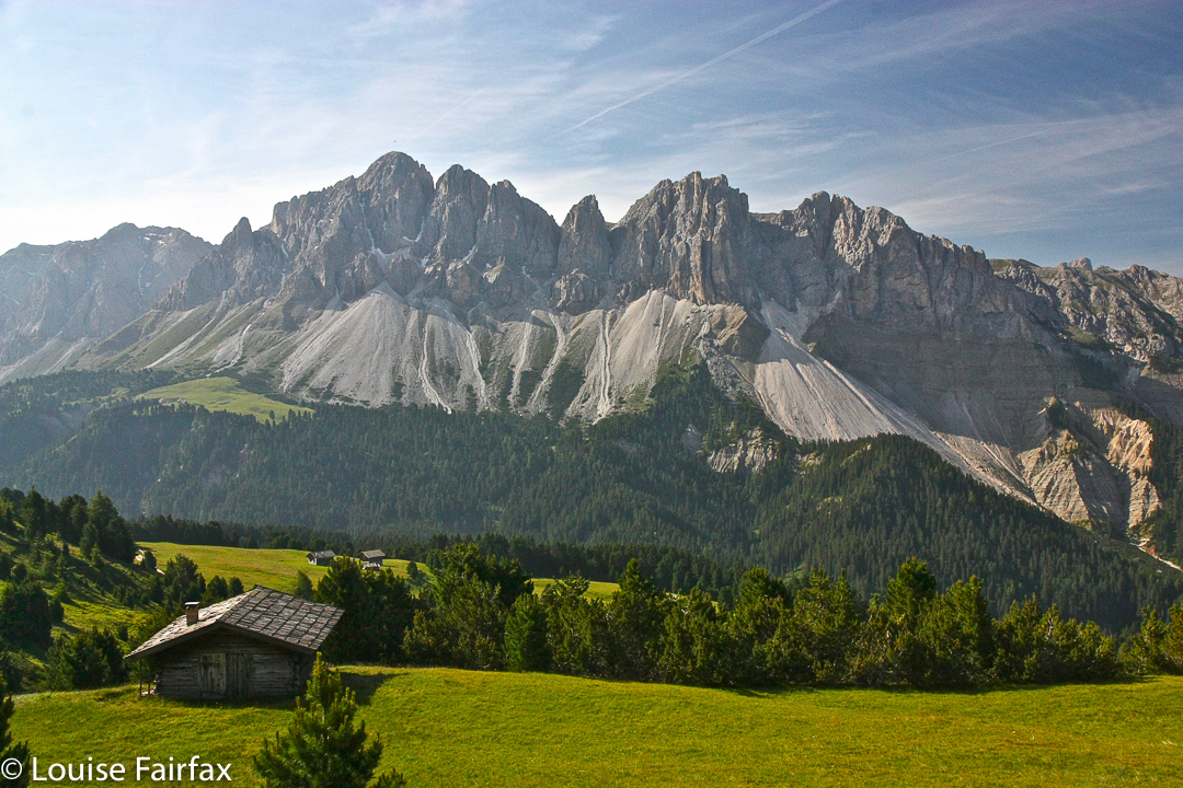
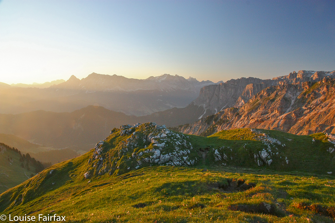
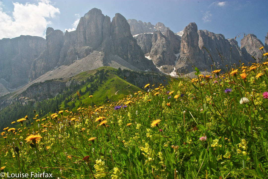
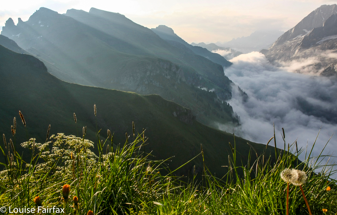
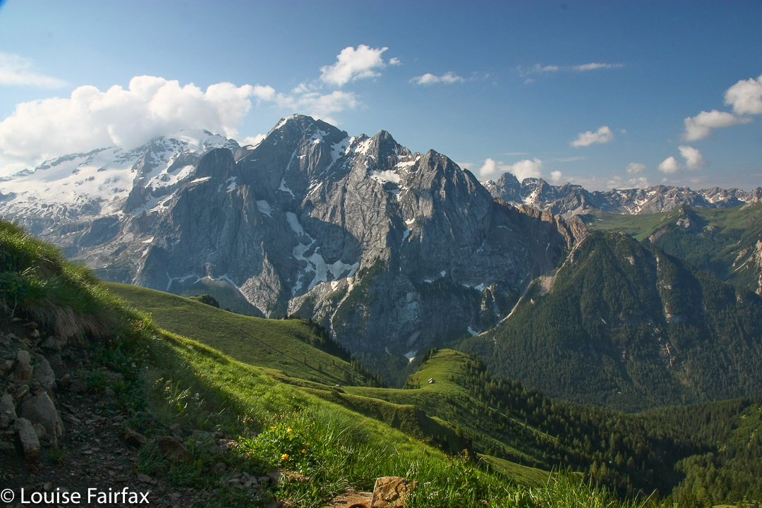
Day 1. I began this trek rather suddenly, and unintentionally. I knew I had hurt myself badly in a fall at the end of AV1, and wanted a rest, but at the YHA Bressanone, I met a nice girl who was about to start her AV2 that day, and she urged me to start with her. I could find no compelling reason not to. I had some tasks to do first, so we agreed to meet at the top, at the place whose view is pictured above. Despite my pain and worry, I was thrilled to be high in the sky once more (at the Plosenhuette).


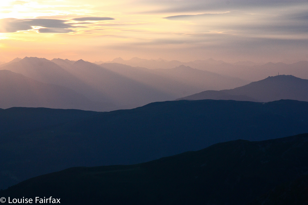
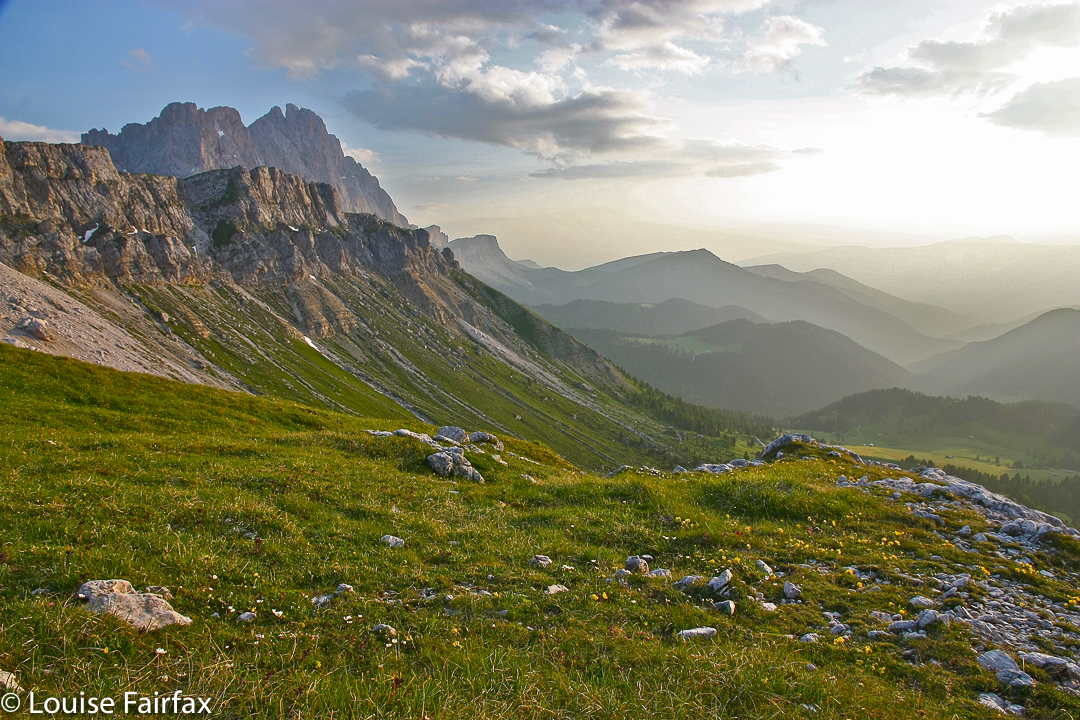
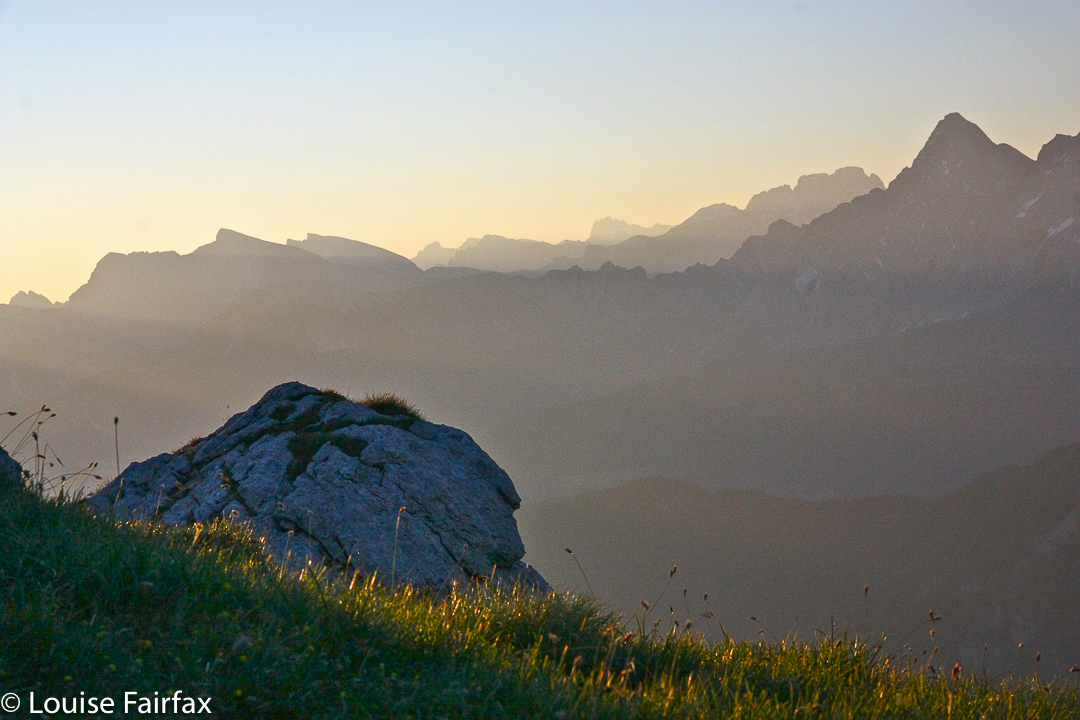
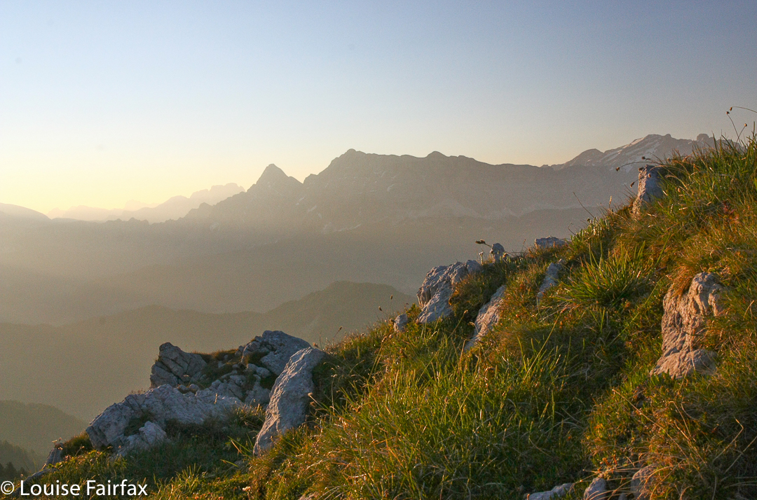
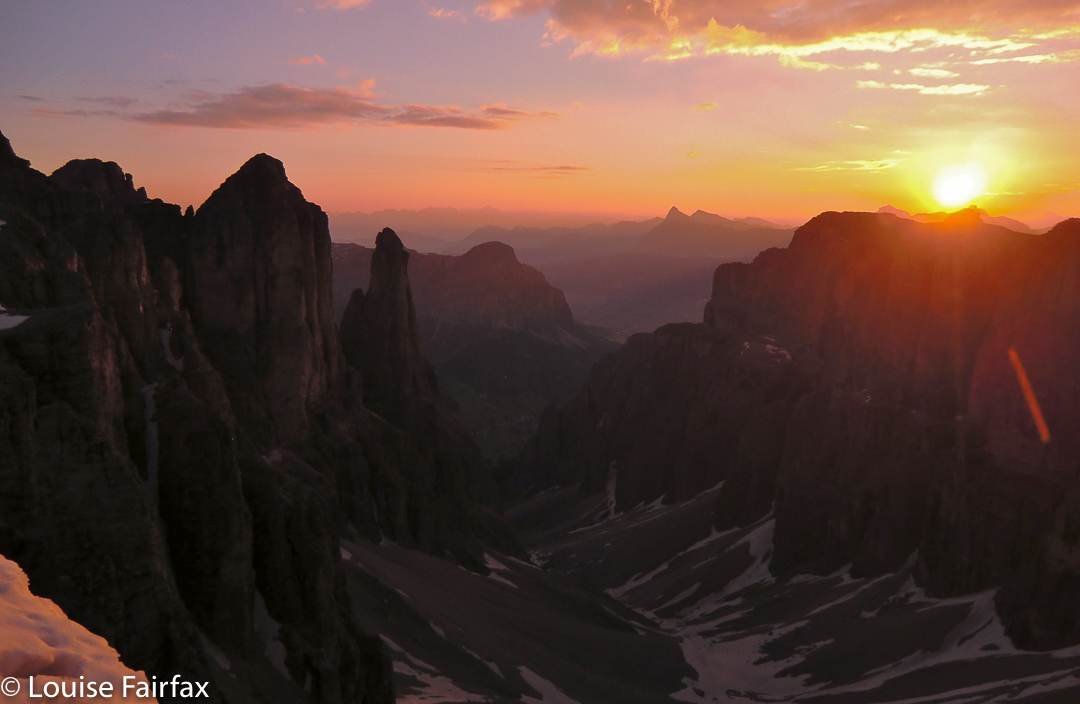
Sunrise the next morning, as seen above and below, only served to further excite me, and make me happy that I had begun on this route.


Day 2 was a short one, which left us room for doing a spot of climbing not too far from the hut. There were two mountains we could choose from, both of which had via ferrata as part of the climb. We were both feeling a bit nervous about these, so chose the easier: Francis had had a frightening experience on one without a harness in Slovenia, and my ribs were aching badly enough so that I could not trust my arms for anything. We both decided to leave tricky climbing for sections where it was compulsory rather than optional, as here.


Hut porn along the way, Day 2.
That night, we sat next to an unusual pair, a German-speaking man and a very old English speaker.  I wondered how a man his age (Ray, aged 80) had got to the hut, which did not appear to have road or Seilbahn access. He’d walked there, he said (like us). We talked of climbing our mountain that afternoon. Yes, he’d climbed too, he said. Which one? The hard one. At this stage, I roared with laughter, that two supposedly fit younger things had not dared to go up this mountain (Francis was 23), but this octogenarian had done it with ease. He had my immediate and undying respect, and was to be a role model and inspiration to me, not only for the rest of that trip, but at later times of my life when I have felt wussish. I also learned that the duo was related: Ray was Herwart’s father in law; this trip was his birthday present. Wow. I would love to think that I could still climb mountains at 80. Ray gives me hope. What a fantastic birthday present!!


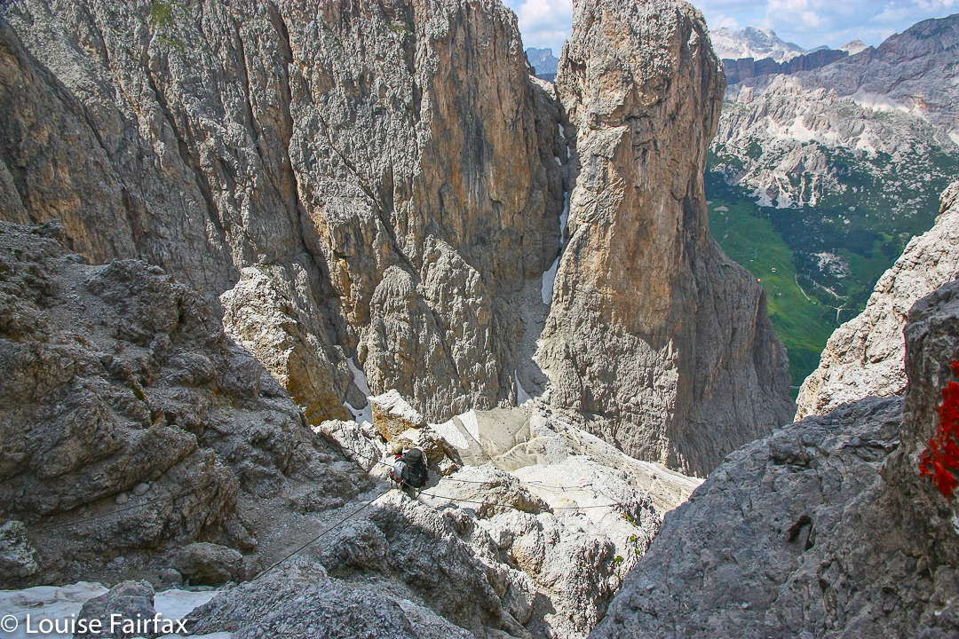
Day 3. After another glorious sunrise, we set out for the next, rather frightening phase of the journey. Why frightening? More via ferrata? No. The fear was in a section that had no help at all. I learned that I loved the via ferrata, as there was something to hold onto. The section that unnerved me was about 15 cms wide, on loose shale, with no handholds at all, and about 400ms drop off to the side. I trod tentatively, yet caught up first to a Swiss couple, and then a gang of Italians. They all moved to the side to let me through on a hairpin bend. But with a 15 cm path, there is NO room for passing, and I was jelly with terror and didn’t want to pass anybody anyway. Please, please just let me stay here in the middle of you all, I pleaded. On we trudged. I did not look left or right, but concentrated on treading exactly where the girl in front of me had trodden, figuring that if she stayed alive, maybe I could too. I wanted to vomit I was so petrified.
Eventually we got to the pass. They wanted to be photographed with me, because I was “so brave”. This is the biggest joke ever. How deceptive appearances can be. Apparently I am brave because I “dare” to travel alone. It’s hard to smile when you want to vomit, but I managed somehow.
That night I talked with Ray about his route. He did not only what I have described, but then climbed a steep mountain in the snow afterwards, as he hadn’t done enough. I had had more than a lifetime’s terror in a single hour. I explored flatter lands in the afternoon.


Piz de Puez, above Rifugio Puez. Nightfall, day 3.
I climbed to this spot to photograph sunset, and sat up there chatting to Herwart. In 2015 I would climb the mountains you see, but this year I was too insecure with my unreliable torso muscles. I hadn’t really been using my upper body yet, so all was going OK.


Day 4. The following morning, I farewelled Ray and Herwart: our paths were sadly diverging. Off I set alone into the mist that had now formed to wend my way along and then down to the beautiful Passo Gardena, and later to try my hand at the first proper via ferrata on our track, that en route to Rifugio Pisciadu.


This path upwards was very steep, and challenged my ribs (assuming that was my problem. I had not been to a doctor), but tugging on the ferrata did not take them into catastrophic dimensions, so I was OK.


Passo Gardena, living up to the garden of flowers connoted by its name. My route lies up one of those chutes ahead, to the rocks on top.


Passo Gardena is the bit of green way down there. This funnel is my route up.


Rifugio Pisciardu is a very beautiful place, which is why I returned to re-see it (and the AV2) in 2015, and I will return again, soon I hope.
The next day, day 5, I went to the next hut, staring all the while at Piz Boe, which I was feeling too scared to climb in case it tugged on my ribs. Just as I was procrastinating by climbing something different, two stick figures appeared on the icy snow way below me (I was climbing on the rocks beside the snow, as I didn’t dare use the snow). As they got closer, I heard someone call my name. These brave and daring sticks were none other than Ray and Herwart, on their way to climb Piz Boe.
All of a sudden I had the courage to climb it too. I said I’d climb the one I had now set out for, but would give chase and hopefully see them by the summit. Just knowing that Ray was doing it, that somewhere on the mountain was a man aged 80, who was going to the summit with more assurance than I had, meant that I could do it. We met on the summit, and there had our final farewell. I have not seen them since, but have sure not forgotten them.


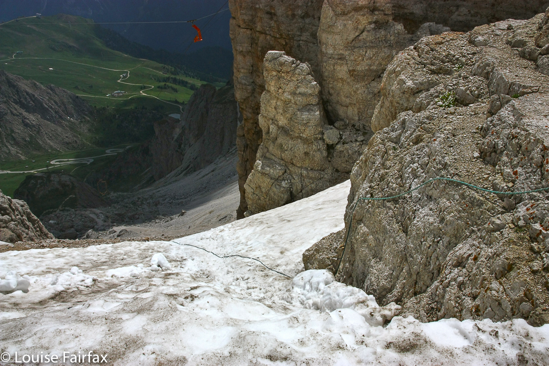
Can you see that bit of rope lying on the snow? That scrap to hang on to while you lower yourself over the precipice? That there was my undoing. Down I went, even feeling quite confident now, but my feet slipped on the ice, and I came thumping down on my derrière, still clinging to the rope for dear life. I yelped with pain. The rocks heard my call. In a single moment I went from maybe 40% usage of my arms to zero. Oh howl. I had worsened my injury big time. Nonetheless I managed to get down to the valley (Passo Pordoi), and to the friendly, fabulous hotel there, with a big bed and fluffy towels and the most sumptuous food imaginable. These should cure me, yes? Unfortunately, no.


Day 6. Not quite undeterred, but not yet completely beaten, I set out for the next refuge. However, when walking along this path, I knew I was in monster pain. After less than two hours’ walking, I came to a refuge that had fantastic smells coming out of the kitchen. I thought if I stayed here, with that food and this view of the Marmalada, maybe I would be better the next day. Did they have a bed? One, if I was prepared to go cramped in a full dorm of males. Sure.
The rest of that morning, and then all afternoon, I explored tiny hills instead of mountains, and watched flowers and marmots. The simplest of climbing tasks was dangerous and beyond me as I had no upper body at all. All of a sudden, these previously simple mountains became hideously challenging.


Day 7. The following day, I tried to put on my pack, but even that simple act killed me. I had to admit defeat. I turned around and headed for the valley from which I’d come. I phoned my husband who phoned our travel agent to arrange my early return home. The insurance company insisted on an x-ray. A guest at the hotel offered to take me to hospital. Oh dear, I have broken my sternum, but not punctured my lungs, so I may fly home. No wonder carrying a pack hurt so much. The doctor said I must have had an almighty crash, as sternums are rather hard to break, being rather resilient and important bones. Ah, I have a very strong camera that was strapped to my chest, and fell at speed, I informed him.


Here is sunrise on my final morning of the AV2. How I love the Dolomiti. My memories are of glorious mountains, of magic sunrises and sunsets, of friends made and a feeling of wonder and well-being. I know as a fact that I was in pain, but that fact is entirely academic and has no effect on the positive emotions I feel if anyone so much as mentions the word “Dolomites”.

Cradle Mountain 2016 Dec

Cradle Mountain (yet again).
“Na. We’ve done Cradle Mountain,” said a relative visiting from the mainland when discussing options of where to go. I was speechless; utterly dumbfounded. They’ve been there once. I’m not convinced they’ve even walked the Dove Lake circuit, but they claim to have “DONE” Cradle Mountain. What is this “done”?

In the summer we moved here with a six and an eight year old, one of the first things we did was to climb Cradle Mountain (having climbed it as uni students shortly after our marriage). I feel guilty that I’ve only climbed this friendly giant eight times. Apart from anything else, each climb is different – different sky, different clouds, different shadows. New aspects of the overall scene strike you each time you summit. So much depends on the weather or the time of day you are there.

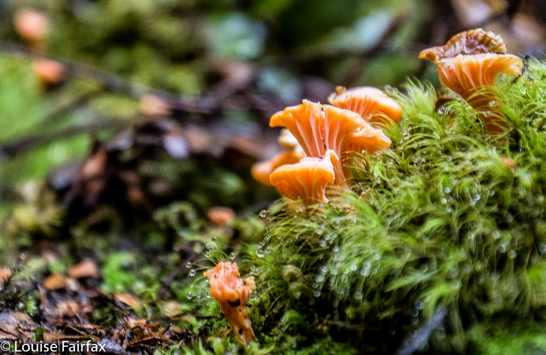
But “Cradle” is so much more than just that mountain. The name encompasses a variety of other wonders, such as the Plateau area, with its masses of tarns and fabulous winter skiing for children (we used to walk up carrying XC skis), the magic of the Ballroom Forest, the drama of the Hanson’s Peak approach, the plethora of hidden tarns in interesting crannies within a kilometre’s radius of the summit, and the lines of ridges emanating from the main massif, each with interesting views into gorges below. The forest at the back of Waldheim (or any other approaches to the high land) is “enchanted”; the forest officially called “enchanted” (the one behind the lodge) is not the only one to harbour a magic spell. Wombats forage here; fungi flourish. In autumn, tiny orange leaves make a wonderful tapestry across the pattern of tree roots that weave across the path.

Ancient trees over a thousand years old still stand as guardians of the wilderness they inhere. And what about the other mountains within cooee of the main attraction? Campbell, Kate, Emmett, Barn, Brewery Knob or Recondite Knob, to name “just” the Abels? In the photo two above, you can see Emmett peeping out behind the cradle part of the Big One, and Barn poking its distinctive head out of the yellow to the right. If Cradle is the only thing you have eyes for, then climb these to get a different view of the only thing your heart can hold.

To say you have “done” Cradle after a single visit is like saying you’ve “done” King Lear or Pride and Prejudice after a single reading. After one, you’ve barely scratched the surface. I’ve read Lear at least twenty times (never counted, possibly more … one just keeps reading, and gaining more each time), but I sure haven’t “done” Lear, and I will die before I have “done” Cradle, because she has so much more to offer than a single person can hope to reap, even in a lifetime.

No drama in this spot: just gently, subtle beauty that left us feeling so very calm and peaceful as we sat and stared at it.
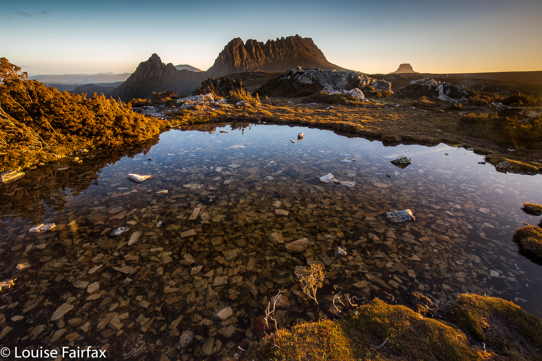
Maybe you need high drama: huge pointed peaks and a giddy height if you read the numbers on an altimeter. Although height is, of course, absolute, it is also a relative thing, and a mountain rising hugely from sea level (e.g. Wellington), or from land that is still not very high, can make a far bigger impression than some peer with a greater absolute altitude. But if you do need your peaks to be over 4,000 ms, well, good luck to you. That keeps “my” Cradle from getting too crowded. I am reminded of the story told by our employer in England once, of when he took a man from a nation whose citizens are renowned for wanting everything to be big and bold to the Lake District, and proudly showed him a magnificent lake of subtle and delicate beauty. The man was totally dismissive: “Why Richard,” he bragged, “we have much bigger and better than that back home.” Richard, normally a man who could argue any point, had no answer to that mentality, preserving the story only to laugh at people who thought like that. Thomas Kuhn would say they had reached a paradigm chasm (or ‘revolutionary’ divide), across which there is only partial communication due to the different assumptions each side makes as a foundation to what they think, say or do.
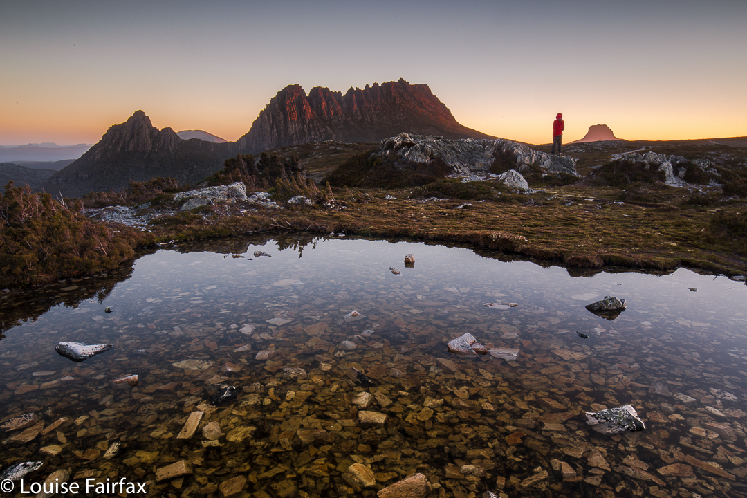
Let us return to this notion of having “done” a mountain, or Tasmania or whatever. As the girl serving us on our way home said, it denotes not a desire to see anything, or to experience anything properly, but rather, to tick a box: “Done Cradle Mountain”; “Done Tasmania” (I’ve heard that one too, from someone who spent a week here). Such ticking apparently earns you bragging rights amongst certain groups of people. Terry Eagleton, literary critic and social commentator of excellence, talked of (in disparaging tones) “the commodification of experience”, whereby marketers had taken up the idea of parcelling and selling experience so people could purchase / consume it. (Commodification is the turning of something that does not normally have a market value into something which is a commodity and can be sold). All of a sudden, your holiday to see Lake St Clair became the “Lake St Clair experience”. Tick. Hapless shopper-zombies were to tour the world, purchasing these “never to be forgotten experiences”, outdoing each other in the outré and adventurous nature of each one. Their lives could not possibly be complete without the X experience, now purchasable for the price of Y (a very big number). Poor shallow, frenetically-gathering experience hunters. Always worrying that the experience they just purchased would not cut it amongst the audience they were trying to impress. Perhaps they accidentally purchased last year’s must-do experience. I’m afraid this blog is failing you, as I have lost track of what is the latest experience you are supposed to have had, and so cannot help you.

But as for me, I will go to places that please me because they are beautiful and have subtleties and complexities that keep me entertained. I will keep visiting favourite haunts because to do so is to renew my acquaintance with places where familiarity means I already know a great deal and am on the watch to renew and strengthen a deep acquaintance. I will mix this up by exploring new places that tempt me by images I have seen or things I have heard of their beauty, but I will not always be chasing new friends, as old ones, ultimately, are more special, just like people.