Bowes 2014 May

Mt Bowes May 2014
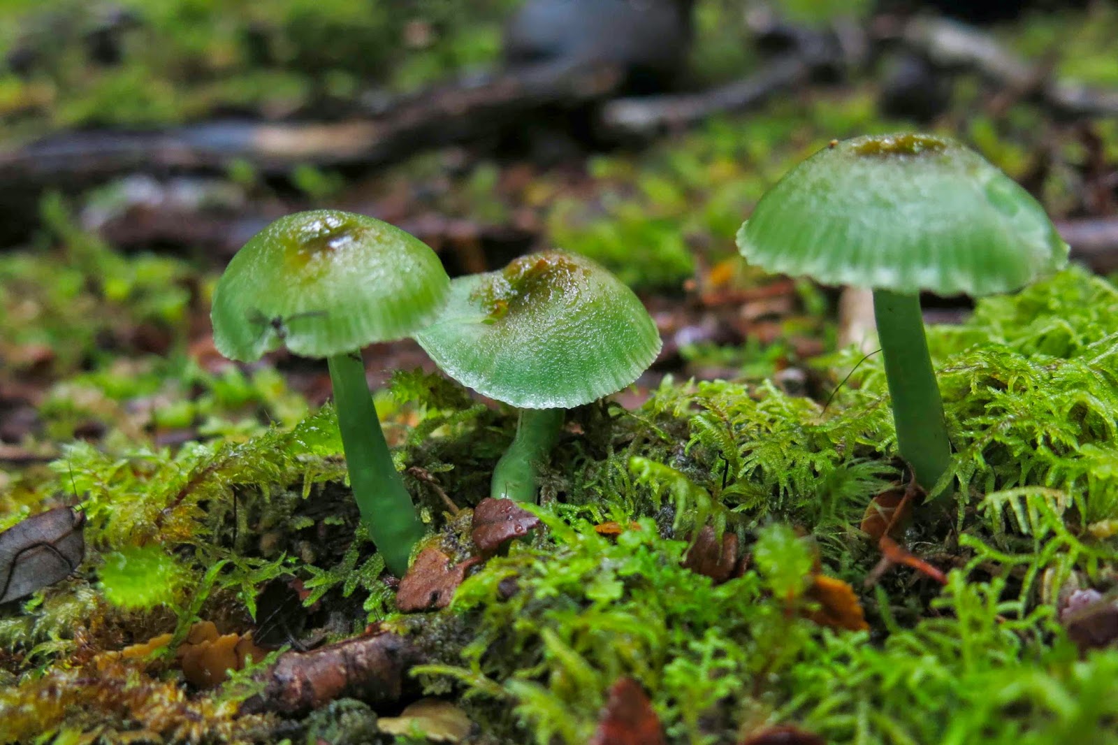
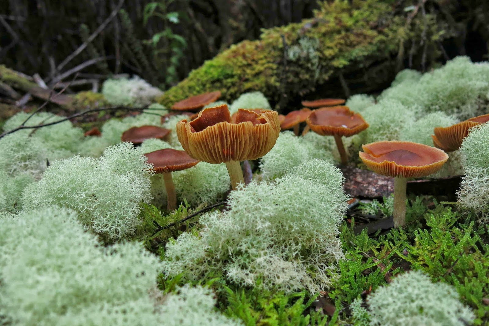
Entoloma rodwayii.

Mt Bowes is in the south-west, so it must, by definition, be a good mountain. As soon as I saw it on the programme I signed up.
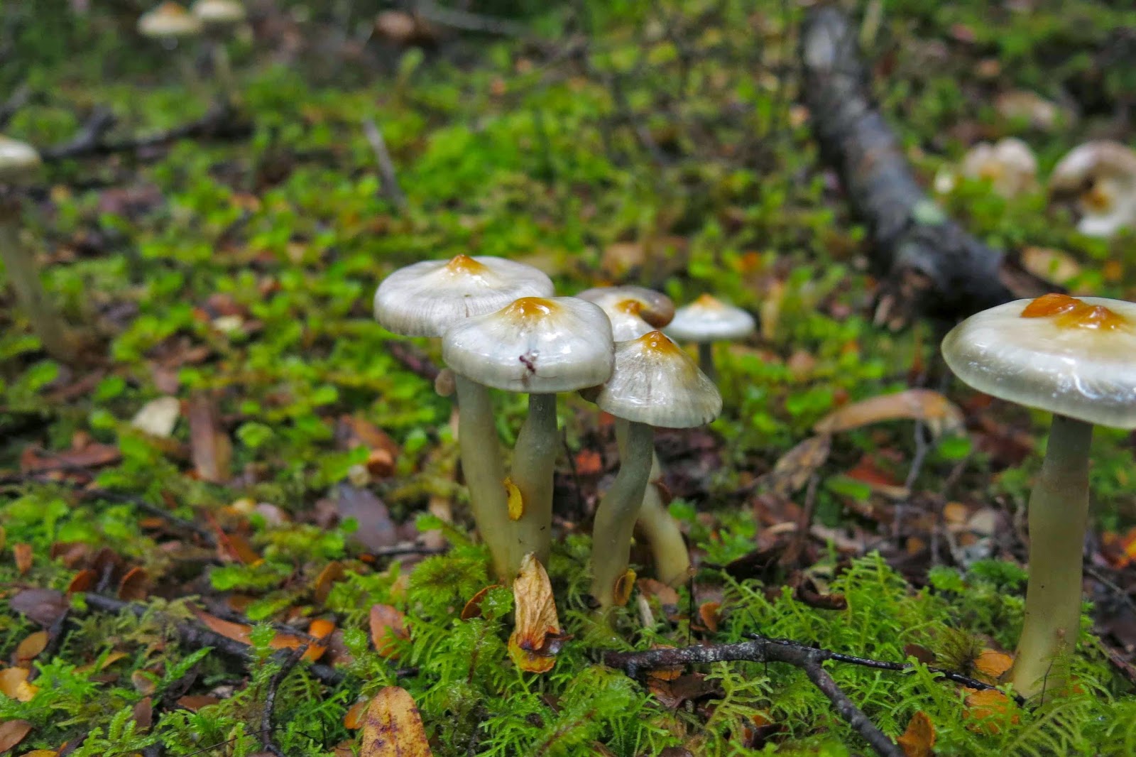
Possibly Cortinarius levendulensis
The forecast was for a pretty dismal day – and yet fourteen of us turned up to brave it; I packed more layers and coats than for a summer’s multi-day expedition, and heaps of food in case the 4.30 a.m. start that I’d need to meet the others in Hobart at 7 would leave me more peckish than usual during the day. (It did. I was craving lunch by 10 a.m.)
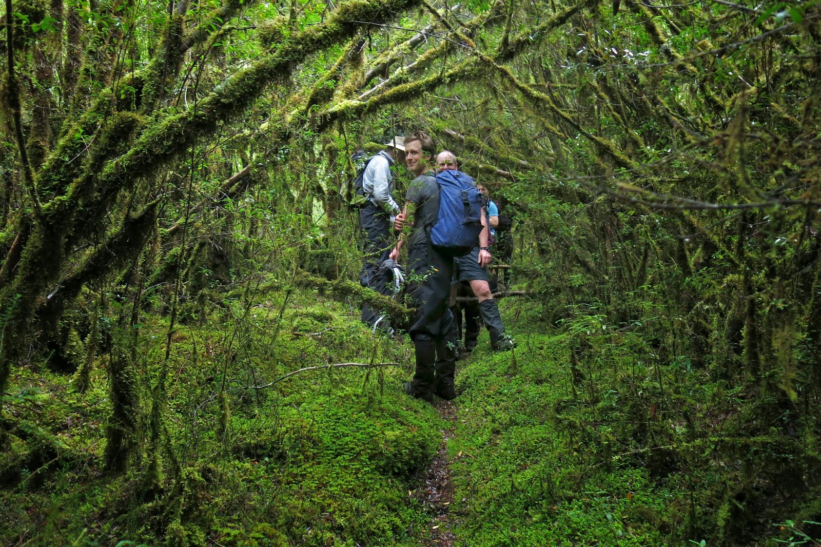
Our track – not always as easy to see as this bit here! 

My mental image of what lay in store was, I guess, informed by trips to the nearby Western Arthurs: I imagined a lengthy phase of muddy button-grass plain ceding to alpine vegetation once we’d gained height. Wrong.
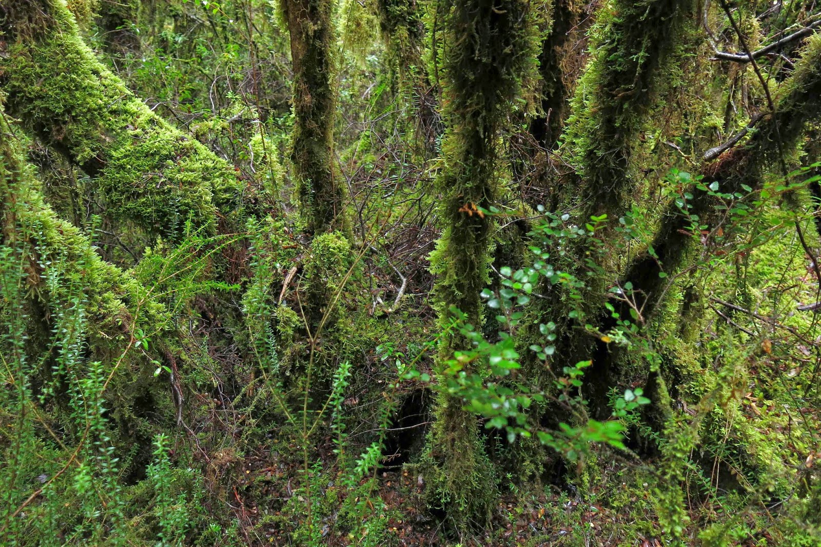
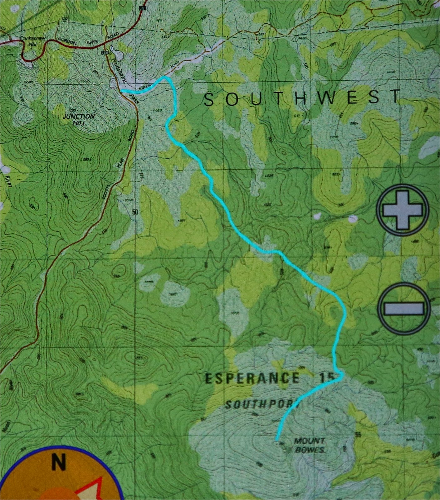
Having parked at the locked boom gate (en route to Mt Mueller) and swallowed the 500 ms or so of road to the cairn that marks the start of the pad, we entered the domain of melaleuca and leptospermum scrub, complete with requisite muddy pools of unknown depth to dirty our boots and gaiters. This section, however, was short – perhaps a kilometre  long – after which we entered quintessential Tolkien country, with sentinel Ents in every direction, fabulous guardians of the sylvan domains. The forest was very different to that of my normal bushwalking diet, which features huge myrtles and fatter trees; here the trees had quite narrow trunks. The bark underneath was invisible, as all wood seemed covered in a rich coating of vibrant green moss, with hairy lichen-beards hanging from horizontal surfaces. Colourful and abundant fungi were, of course, a distraction – so much so that we hardly saw our leader at all on the outward journey: he was too busy bowing obeisance to the fungi, his camera held in a suspicious position. Tannin-stained creeks, pure and gently flowing, were crossed by natural bridges made from fallen trunks.
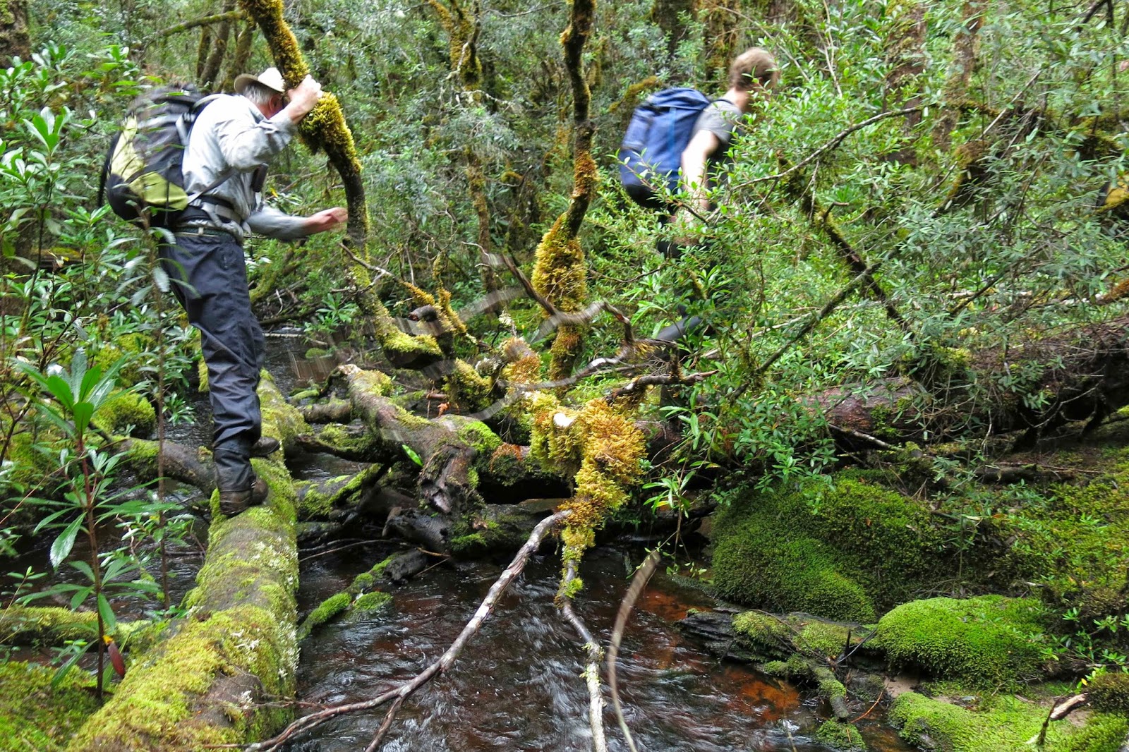
I learned that this pad was originally the path cut by Edward Alexander Marsden in 1898, and is part of the original and much larger track going from Port Davey all the way to Fitzgerald – a very long distance – intended as an escape route for shipwrecked sailors. Snooping around the web, I have since picked up that the Port Davey track was used in 1914 to check out a rumour that a German submarine was lurking in Bathurst Harbour, intent on destroying troop ships as they rounded the coast. At that date, the track hadn’t been used since a 1905 shipwreck.
After many wonderful kilometres of this rainforested beauty, we were in a position to diverge from this path and begin the climb proper (still adorned with pink tape [mostly], but it was quite hard to find evidence of human wear on the ground). The quite steep rise was made more taxing by the presence of waist-high bauera and other bushes to keep us honest in our efforts. It took longer than I expected to reach the summit. Once up, we found a small depression out of the wind, which was necessary, as most of us had become wet from the morning of pushing through wet bushes plus the sweat generated by a healthy workout on the way up. Like a magician pulling rabbits from a hat, I seemed to amuse some by the number of coats and layers that I extracted from my pack to cope with the fact that we now had to stop moving. Like little Michelin men, we sat on top eating and looking at our hard-won view of half-disclosed mountains and a grey, moody Lake Pedder way below. The vista was tantalisingly full of promises that would not be kept on this day.
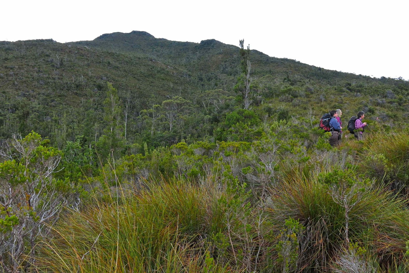
There she is at last: our mountain.
I must return when there’s a better forecast, as, even on a dull day with light sprinkle and smudged, detail-less mountains, it was magic. Just imagine what it could be if the sun shone and the mountains were well defined. I will be back!
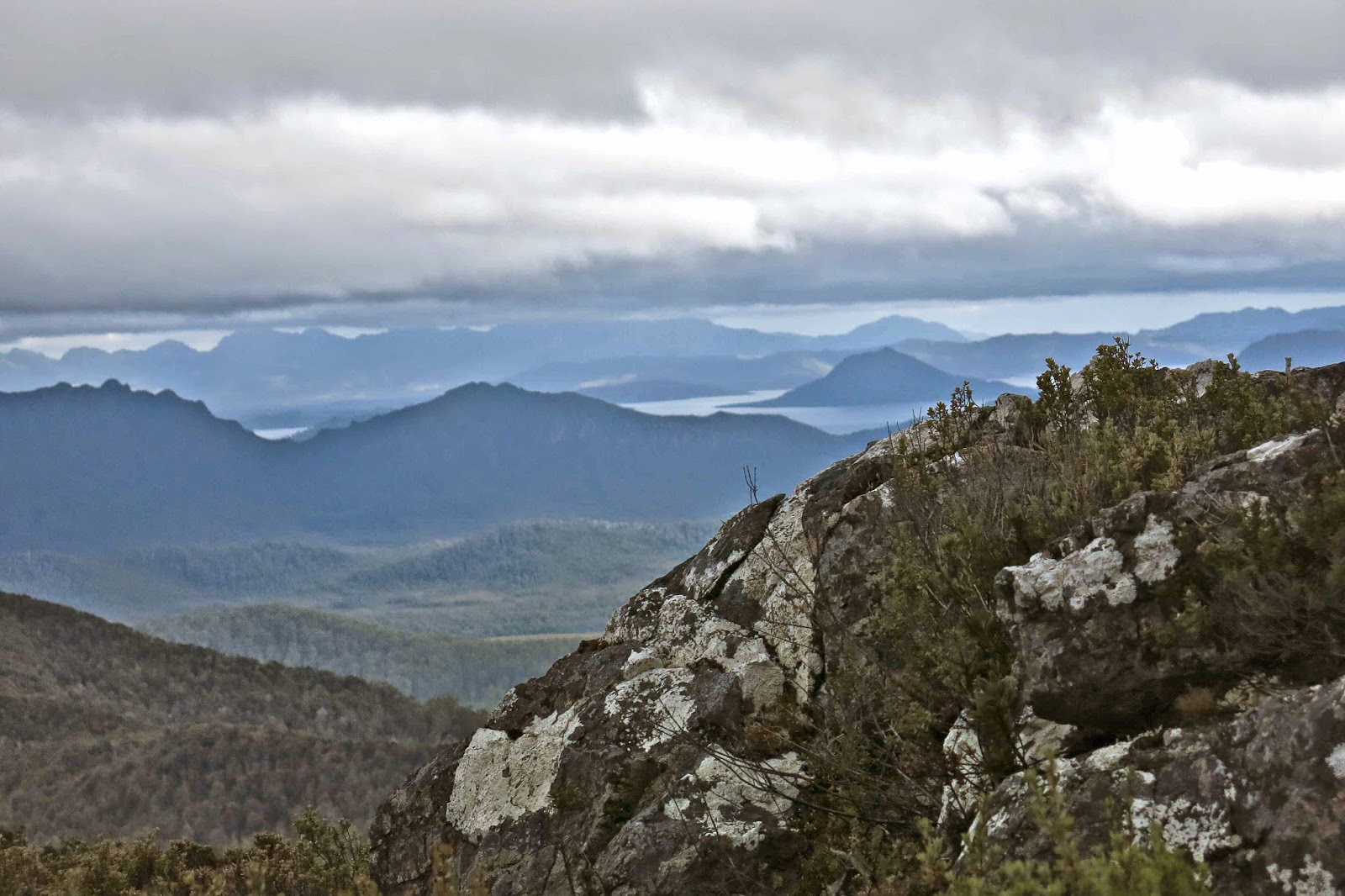
Summit view

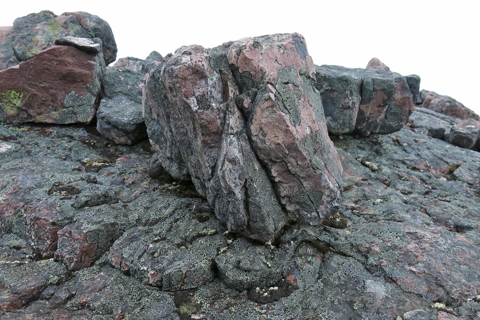
Beautiful quartzite on top


Elephant 2014 Jan

Mt Elephant 5 Jan 2014

Head high in cutting grass
I was in a defiant mood today. Not only had the weather forecast cheated me of yesterday’s walk (quite rightly – the wind predictions were grim), but I used the day to line up my intended walks for the summer, only to be told that every single walk I wanted was full. Another summer of doing our own thing zu zweit. Boo.

So, that mood had me announce that we would ignore the unalluring weather forecast for today with its silly bright colours indicating rain all over the state and go climb a mountain anyway – the best antidote to sulking. We hadn’t done Mt Elephant yet, and it was in the east, which had the least dramatic BoM colours for rain, so we downed a hurried breakfast and got out on the road. This time I packed gear for blizzards, just in case.

Summit cairn perched on a rock
Driving along, the weather was magnificent, and we both revelled in the play of light on the mustard-coloured grasses waving in the light breeze. The outline of the Lomond massif to our left as we progressed along the valley was clear and cheering, even if the air was not as crisp and fresh as in winter. It was a beautiful trip.

We tried to eye up our elephant as we approached, but I decided you needed as much imagination for that one as is required to see a Boa who has swallowed a pachyderm rather than a hat at the start of Antoine de St Exupery’s The Little Prince.

Victory salute

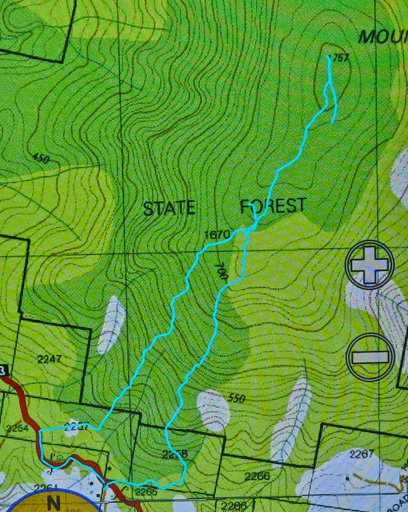
We looked for the spot described in my friend’s blog where the Pandani club had started, but were unsure as to its exact location, and we had no coordinates to help, so chose our own start, basically opposite the pancake parlour. Could come in handy at the end. A ridge came to meet the road there, so that suited me. We found a little track that got us maybe two hundred metres – away from the ridge, but what the heck – before we had to start earnestly uphill in a bush bashing spree. We both barked in two separate cough sonatas, our lungs objecting to the pollen we sent flying as we pushed through bushes that offered quite a bit of resistance. And then it got even thicker. No matter, we were on the ridge, so just had to be patient and, logically, if we kept putting one foot in front of the other, we must get there. Next came cutting grass that was over our heads high, and a forest of thick ferns.


A friendlier patch of smaller cutting grass
Visibility was not good, either in terms of vistas, or of the ground. I started getting a little unnerved about the fact that I never knew what I was treading on down there. I know what it is to be bitten by a tiger snake, and don’t wish to repeat the experience. This seemed like exactly the kind of country and undergrowth where i had my first encounter and I decided I was verging on tigriphobia (or serpentiphobia) today.
 
Na ja. Soon enough we were on the flat top of the mountain and I navigated us towards the dot on the map that marked the summit at the far end, still quite some way away. With visibility negligible, I was hoping I’d be accurate enough to see the tiny cairn that announced victory. 1 hr 27 mins after leaving our car, we touched it. Olay. The skies were getting decidedly darker and the wind was moaning. I was not looking forward to the return journey, so, in order to give some passing helicopter a chance to float by and offer us a lift – which we would accept – I decided we should eat, as I hate eating in the rain, and we might get hungry later, even though lunch time was still nearly two hours away.
We both felt that we made much better progress on the way down, firstly being further east than our ridge route up, and then swinging to be further west of our ascent. Admittedly, we did end up in some pretty stern dead ends of barricaded branches that brooked no arguments, but we also minimised the tall cutting grass, and we were going downhill. Our time of 1 hr 24 to get back to the car surprised us in that it barely bettered our time up. Going up, we were heading for a point feature, so I was careful about navigation; coming down we were heading for a line feature (road) so I decided to just go with whatever leads were easiest and walk along the road to the car at the end. This tactic brought us out in someone’s backyard about 300 metres west of the pass. The owner came onto his verandah to tell us we were trespassing, but was very nice in the presence of our humble apologies, so all was forgiven …. and now it was time for a pancake lunch. Hoorah.

It rained on the way home, and poured as we entered our driveway.

(Sorry the cyan line is broken. I was new to this toy and accidentally turned it off during the descent).

Jubilee 2013 Dec

Mt Jubilee Dec 2013

Richea scoparia from Mt Jubilee

Isophysis tasmanica
Having driven down from Launceston in a slow bus with several long stops, and having slightly misinterpreted instructions on how to get to the start of the walk (roads not being on the map), we were not ready to set out on our little trek until a fairly disastrous 11.25 – almost time for lunch, especially for this hungry person who had had breakfast at 5 a.m. This did not augur well for making our destination, and all my misgivings were realised as I saw how far we hadn’t got when we did have our midday meal.

 In fact, I feared that we weren’t even going to make Mt Jubilee, let alone the further high point of the Jubilee Range, the stated goal. Was a mass of dense melaleuca and bauera scrub to be our final destination? Would we get up to a view? Happily, the answer to the first question is “no”, and the second is “yes”. We did summit Mt Jubilee at least, and thereby gained a glorious vista. The club did not, however, do the times said in the book, and needed 2 hrs 30 mins plus breaks to get up (four hours in total), a bit less (and fewer breaks) to get down. Everybody adored the expansive views and the spacious feeling on the summit, to say nothing of the splendid scoparia in flower in numerous pockets up the top. I loved the rocky outcrops with their hippy lichen hair dangling as well. We stayed on top a lovely long time, absorbing this wonderful view, and having the names of the surrounding peaks pointed out for us by people who are far better than I am at recognising old friends from different angles. This mountain is not high enough to be an Abel; not even of enough interest to the point-allocation powers that be to be worth a single point, but it is a wonderful mountain, and one I would love to sleep on for the splendour of its views and for what my imagination can picture it must be like at sundown. Next time I want to be there with my proper pack and tent.

Getting nearer. Up on the high ridge with views at last.


Instructions on how to find the roads that are not on the map:
first take Jubilee Rd off Styx Rd (a right hand turn). Driving along this road, there is a left turn on offer, but with a clearly visible fallen tree only about 50 metres in. Obviously, don’t take that road. Then (and especially if your instructions say “Take a left turn”) you might be tempted to take the next left, which does go somewhere. We have thoroughly explored this one for you. It does not go where you want. The third offering to the left is a Y-shaped fork, where you may now take the left hand option, and, where it seems logical in terms of your final destination, look carefully for the “cairn” (a tiny gathering of dark grey rocks, very subtle, about 15-20 cms high at this time of writing) and a couple of rather faded ribbons. It is well worth the trouble of locating this starting point, as the pad (not track – you still have to use carefully-honed observation skills to stay on it) saves a lot of time that would otherwise be wasted finding the best route through the rather tightly-knit scrub. Do not undertake the route if you are not confident of navigating, as you can’t rely on seeing the pad, and I can guarantee there will be times you need to consult map and compass in order to get yourself to your destination.

Millers Bluff 2013 Nov

Millers Bluff Nov 2013


Epicurus said (a few thousand years ago – when no one had heard of Millers Bluff) that it is more important to have someone to eat with than to have something to eat. With the silly side issue of starving to death omitted, I absolutely agree. And I would add in a similar vein that, although sitting on a mountain is a wonderful thing in itself – solo or with company – it is often the case that the company we have on a mountain is more important in forming our emotional reaction to that mountain than the mount itself. I have summitted many mountains solo, but my favourite experiences are always ones where I’ve shared the mountain with like-minded friends.

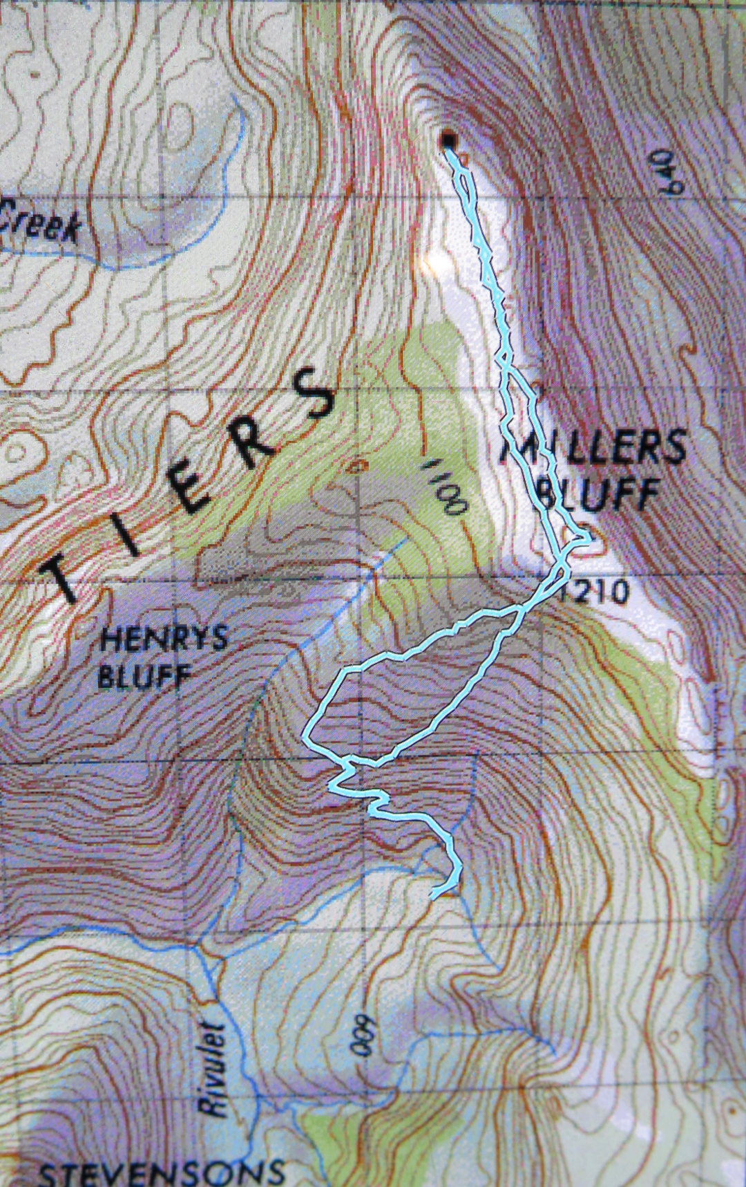
And so we come to Miller’s Bluff, a bitch of a mountain, a horror fight through prickly hakea, stabbing scoparia, tangling bauera and impenetrable walls of green junk that muster superior defences to defeat our best efforts to push through it. How many minutes did we spend in our monster epic to reach the summit perched on a rock looking at a sea of attacking, knife-edged greenery wondering which would be the route for the next 20 metres that might allow us to progress to the next rock where we could do the same? The actual summit never seemed to get any closer. In a trip that covered only 16 kms, we took 14 hours 36 in total, 9 hours 41 of which were spent in movement, according to my watch. My gps says only 5 hours were spent in movement, but I guess that just means we were moving so slowly that the system failed to define what we were doing as “movement”. (I guess I didn’t stop my stop-watch every time we halted to make another terrain decision). It was the dubious progress of snails. Lunch was only short due to lack of time; we didn’t get any dinner, and snacks were few and far between. The blank time was spent a little in regrouping, and quite a lot in making decisions about how to move forward. And I was with highly experienced and competent walkers.


The shadows were already lengthening by the time we reached the summit, and we got to enjoy sunset from the top, as we took over two hours (in each direction) to travel the slightly more than two kilometres-long ridgeline connecting the “nearly summit” to the actual summit, a mere 2 metres higher. The descent did not begin before we had passed nearby the fake summit again. I think for a mere two metres, it would be well worth tampering with the environment and gathering a few rocks; however, the views were much better from the real summit, and my favourite views were had along the ridge line coming back to the false one. There was a lake in the distance, beautifully lit by the crepuscular rays of sunlight, and the tiers to our right made wonderful silhouettes. That was a sight well worth savouring, and luckily we had plenty of time for that. Had someone heaped rocks on summit one, all that would have been missed, as would the adventure of descending in the dark.

For me, to sit on a highpoint in the glare of the midday sun is a bit of a waste of a mountain; the fact that it took us so long that we got to see sunset from the top was a bonus. I am never going to climb this mountain again, or be in that spot in the middle of a bed of green nails at sunset again; it’s good that I’m satisfied with the photographic memories I have. The collection will not be supplemented :-).

As we began our descent through the rubble, on went the head torches ready for complete darkness. Now we got to fight “blind” like knights of old on some valiant mission. At some stage someone announced it was her bedtime. I looked at my watch. It was now 11 pm. No wonder I was hungry. And tired. I like to be in bed by 10. I’d arisen at 5 in order to at our meeting place on time. It was already a long day. Blood sugar was not miraculously rising in the absence of dinner. On we pushed for another hour and three quarters.

I was dangerously tired on the way home, and after a momentary blackout where I started veering off the road, I bumped up my music to a volume that could possibly be heard for a radius of a kilometre, and drove at a mere 50-60 kms/hr for safety, so did not get home until about 3.15 a.m., and was not in bed before 3.45, as my poor dogs wanted food and attention, and, despite the rather odd hour to be showering, I decided it couldn’t wait until official morning.
Today, Sunday, I am weary but happy. That was a grand epic and I am delighted that I have found a group of similarly crazy people to do things like that with.

 
I nearly forgot to mention a rather scary incident that happened while we were climbing up. There were two of us a tiny bit ahead, which turns out to be fortunate, as no one was yet directly behind me. The guy had chosen a path to my left; I had chosen to ascend via an interesting chimney arrangement that offered good handholds at the top, using a crack that was 15-20 cms in from the edge. I tested it, as one always should. It felt solid, so I put all my weight (not much) into it to lever myself up. Suddenly this seemingly sturdy rock mass split away from the parent and I felt myself falling backwards down a steepish incline, closely pursued by a hunk of rock as large as a man’s torso. I find it astonishing the way that in an emergency like that, the body is able to push off nothing, and do superhuman feats. I pushed off air to lurch myself sideways so that the rock just grazed past me as it careened down the slope past me. I then lived in absolute terror for a second or two as I didn’t know where the others were – the scrub was too thick to see clearly – and I knew with certainty that that boulder would kill anyone it hit. For quite a while after that, my legs were jelly at the thought of what nearly happened. I include this here as a reminder of what one should always know and do anyway, which is to avoid being directly below someone who is climbing.
 

Maurice 2013 Sept

Mt Maurice: the Mystery of the Missing Mountain Sept 2013

View to Mt Victoria and Mt Albert

Is this the place? Nothing much matched up with the book (Abels Vol 1).
“17 kms along the road”, it said, but was that counting from the Targa (Chapel Hill Rd) or the Diddleum turn off? The book was, alas, ambiguous. (Answer: it was counting from Targa).
The mountain, too, was “ambiguous” – ‘shy’ the book dubbed it. Reclusive, elusive, downright evasive are other possible descriptors. Was there actually a mountain hiding behind those trees? We’d seen no sign of it so far whilst driving.
We hadn’t even been supposed to be on that particular road: there was a nasty “detour” sign that I determinedly ignored, knowing that if a mountain existed, it lay straight ahead. Perhaps Mt Maurice was nothing but an in-joke for the cognoscenti?

Welcomed after all
Over St Patrick’s River I drove – a good sign, as it is promised by the book – but it was still possible that I was making a parallel error. Nothing else matched, as we had been promised wet sclerophyll forest – one of my favourites with its refreshing, soothing greenness – but it hadn’t really been in evidence, and as. a special alternative, we were proffered a kind of autobahn – a dry, wide, grey, levelled-out-of-all-individuality road – with dull grey corpses of trees to match, and a boom gate forcing us to park near the river.
I thought of William Blake’s poem, Garden of Love, which depicts a somewhat similar situation, reciting it to myself as I walked:

I went to the Garden of Love,

And saw what I never had seen:
A Chapel was built in the midst,
Where I used to play on the green.

And the gates of this Chapel were shut,
And “Thou shalt not” writ over the door;
So I turned to the Garden of Love,
That so many sweet flowers bore;

And I saw it was filled with graves,
And tombstones where flowers should be;
And Priests in black gowns were walking their rounds,
And binding with briers my joys and desires.

Just substitute “And trucks with their drones felled trees with loud moans” for the second last line and you have a revivified Blake over two hundred years down the track.

Ancient mama of the forest. A VERY old myrtle

So, we marched up this ugly scar feeling the force of “Thou shalt not” and the absence of beauty where it had once flourished, trying not to attend too much to the corpses of trees and the couple of remaining desiccated, dusty imitations of tree ferns that had somehow missed the shove to oblivion.

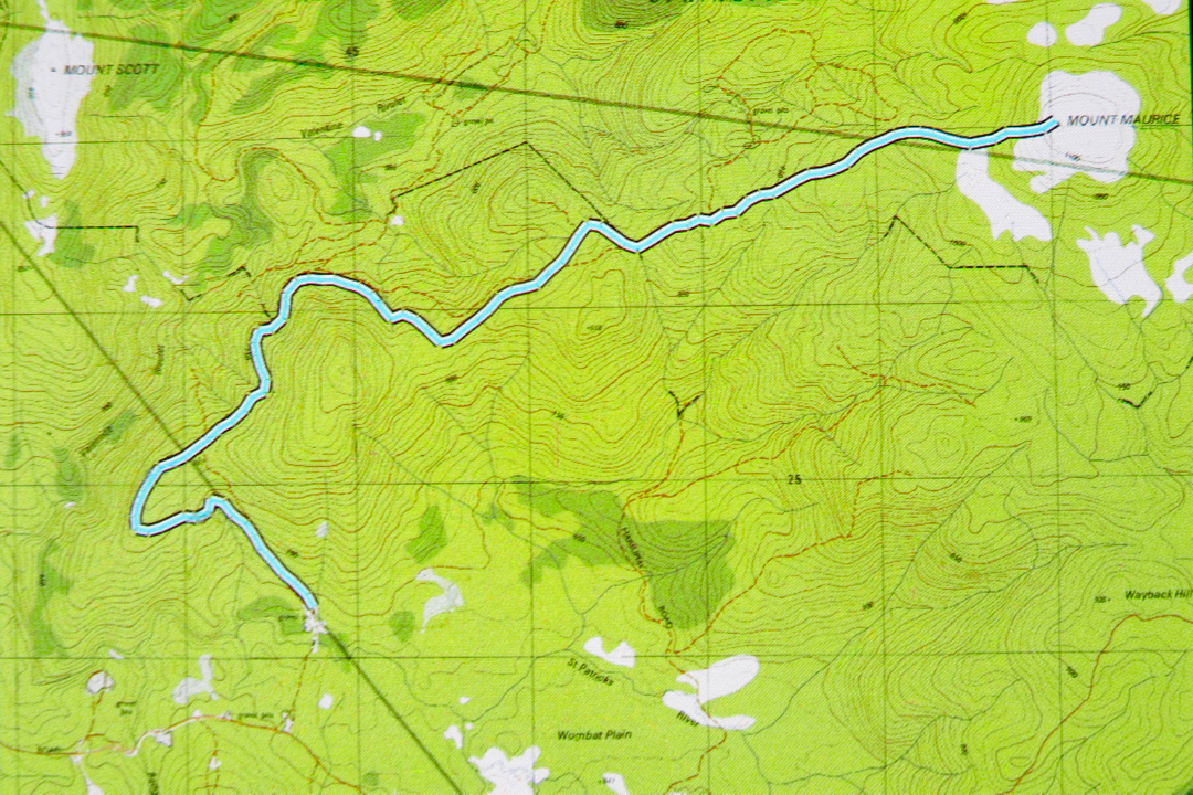
After about 40 mins, I got out my gps to have a check while we walked. This was interesting. We were on a highway that was not on the map, and the road on the map was nowhere to be seen. Hm. (See map/ route below). Better pay careful attention to contours now. They’ve completely changed the forest. Contours roughly in order at this stage, but we were about maybe 400 ms south of where a road should be. I switched map scales, but the next map said the same. Maybe the original drawers of the road had been careless and just stuck in an approximation. Nonetheless, contour-vigilance was required in case this autostrada led to nowhere that I wanted to go.


After 58 minutes (putting this in, in case it is helpful), we came to a post with two reflectors on it. No track corresponded to my gps location, but I decided the contours and general direction were good, so we’d take it. Three minutes more, and we found a sign that said: “Welcome”. We just about roared with laughter. I photographed it in case it was the only nice thing we should find this day. We still hadn’t seen any sign of our mountain. This was a real exercise in faith.

It was so much nicer once we’d left the wide, levelled road. There were now some soft, mossy sections under foot and the myrtle count increased. Birdcalls could be heard for the first time. And we had shade, blissful, soothing shade. Ahhhh. This wonderful section of forest lasted a full twenty five minutes. The trees were huge – tall, wide and stately. Ents watched our progress. Every now and then there were magnificent pink granite tors covered in moss. I delighted in them. The only problems were that we still hadn’t seen a mountain, or even a hint of a mountain, and we also hadn’t found the sort of contours that a mountain has. The map had a little gang of them, huddling together before the summit, and we were just gently easing our way along, only vaguely upwards. Somewhere we needed to encounter and cross contours if we were to climb a mountain.

All too soon our lush green primeval forest ceded to dry sclerophyll shrubbery (after 25 mins), and after another five, we encountered our first scoparia bush. Now we were on a flat, wet patch with not only scoparia but also fallen dry enmeshing bushes that resisted our progress. And there ahead, at last, were a couple of contours and a knob that I guessed was our mountain. Hoorah. Through a short but beautiful section of quite open and tall melaleucas, we hit wind and more scrub, and three minutes after that we were by the trig. I could see that much better views could be had from the other, non-summit end of this dome, so we fought scoparia and wet pools and went over. Yes, great views of all the surrounding mountains, but in particular of Mt Victoria, Albert, Saddleback, Ben Lomond, Barrow and Arthur – and we could see the sea.  We photographed, snacked, and descended. The descent took a couple of minutes longer than the ascent, which roughly translated means I was hungry.

St Patrick’s River crossing is a beautiful spot (and would make for great camping if you’ve come up from the south to bag this peak). It would have been great to have lunch there, but I hadn’t packed any, so drove back to Launceston in time for a late lunch instead.