Wandle Falls 2017 May

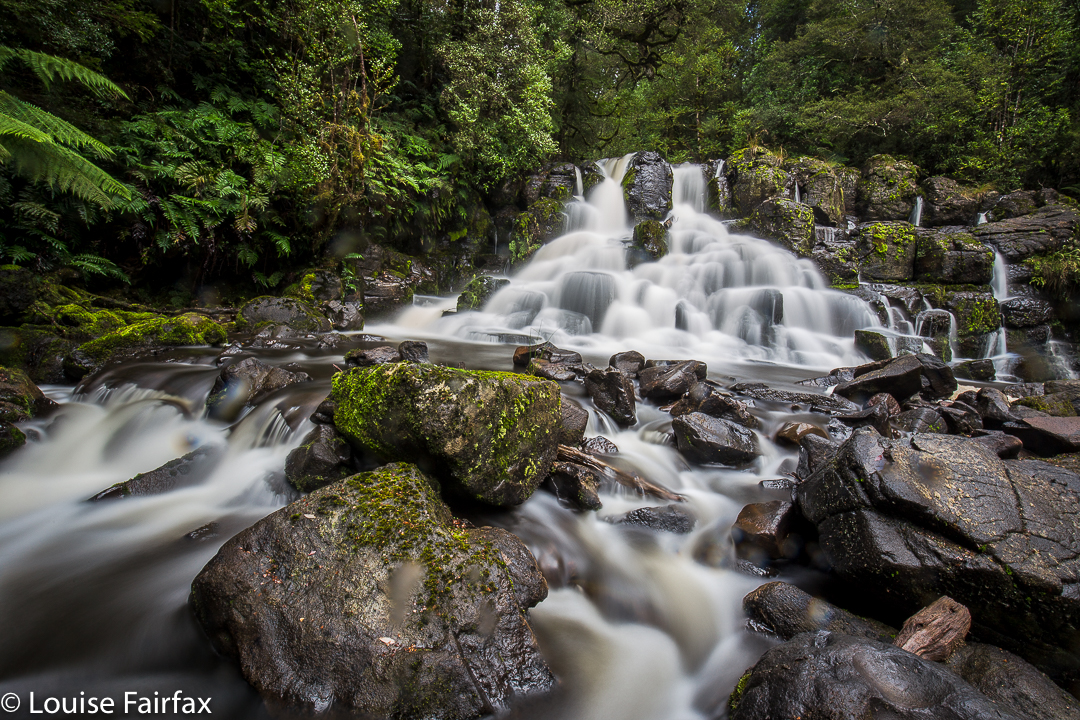
Wandle Falls. May 2017.

Wandle Falls
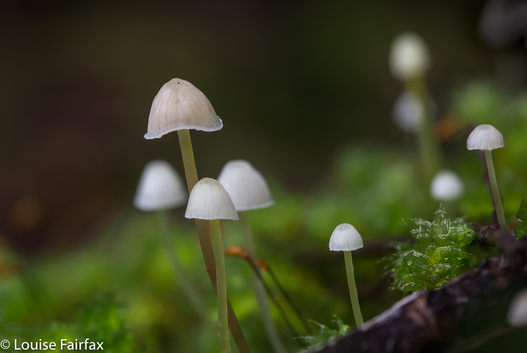
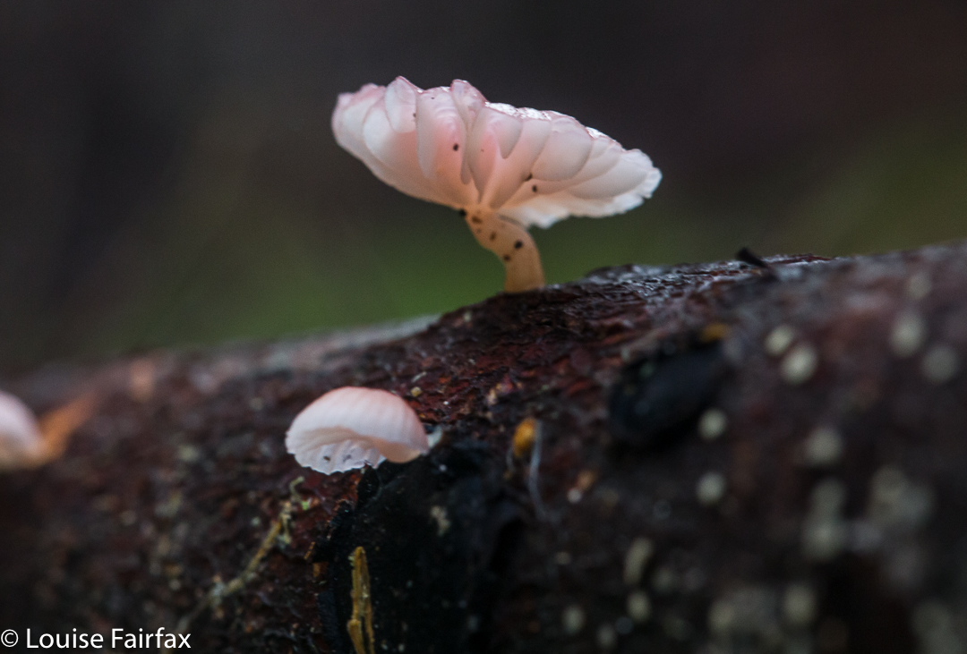
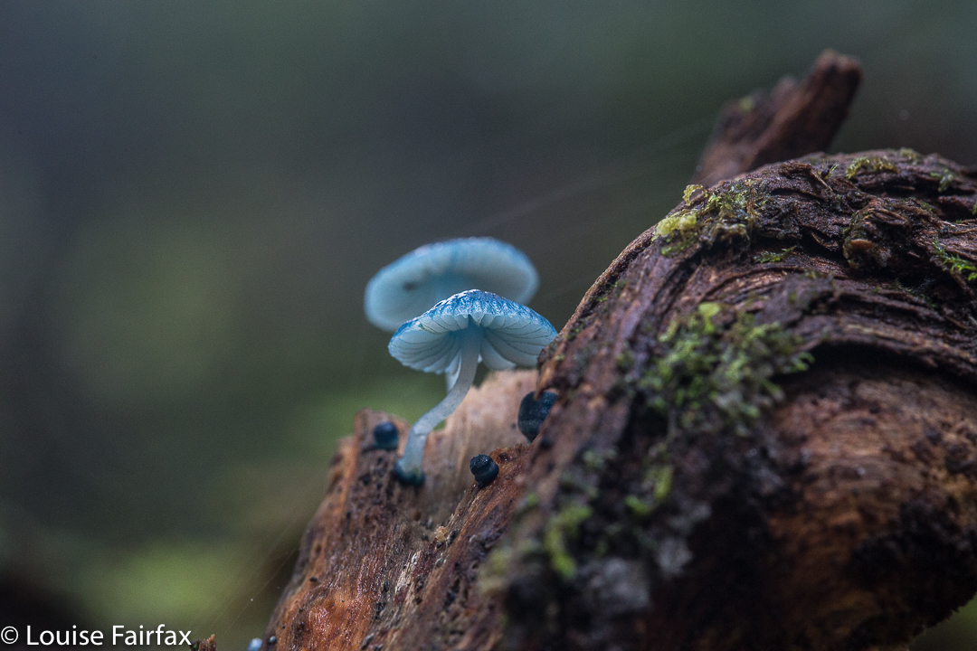
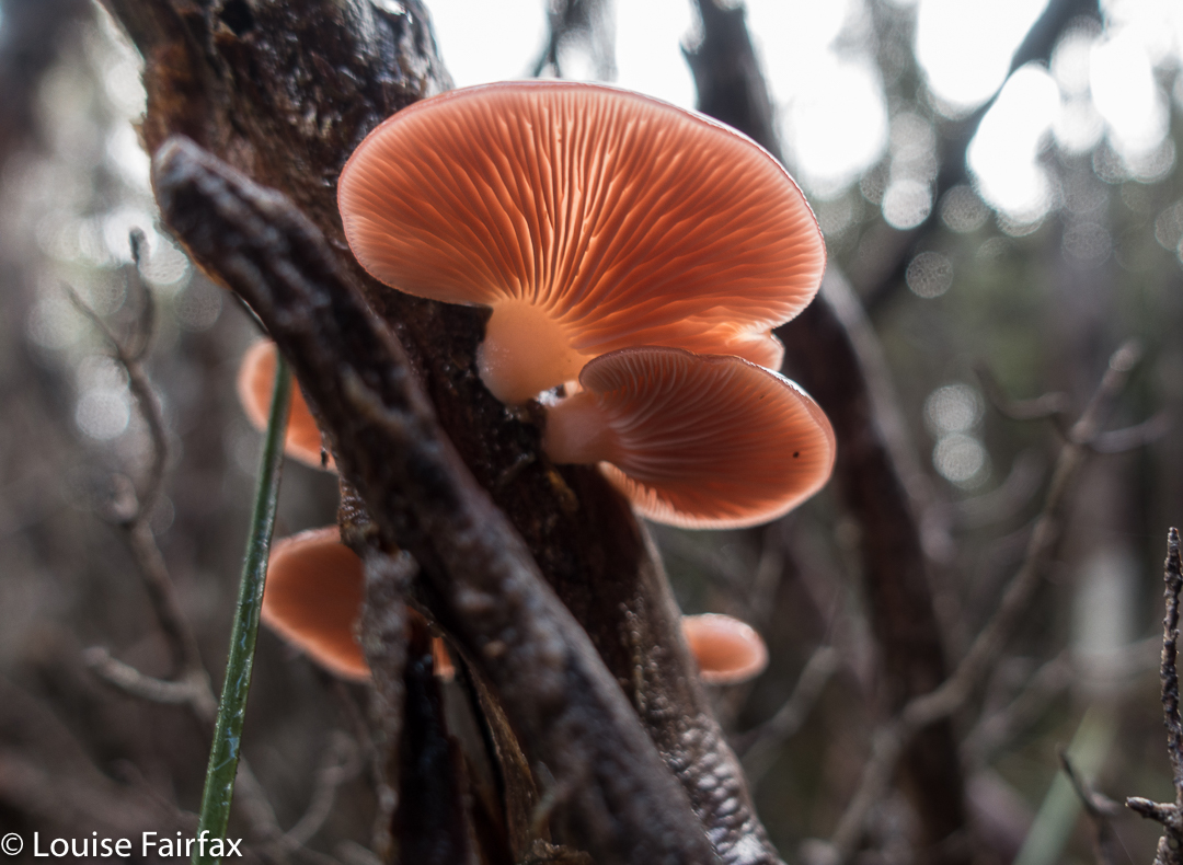
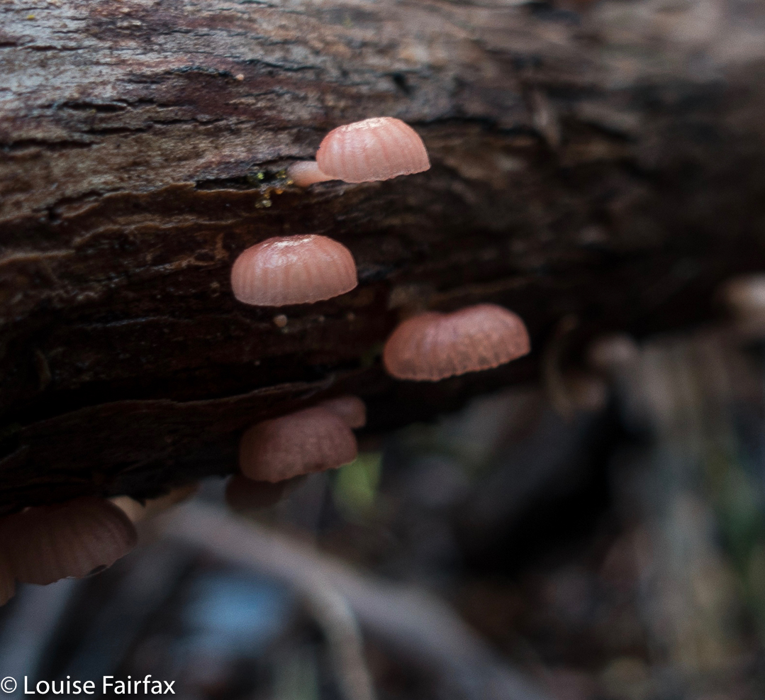
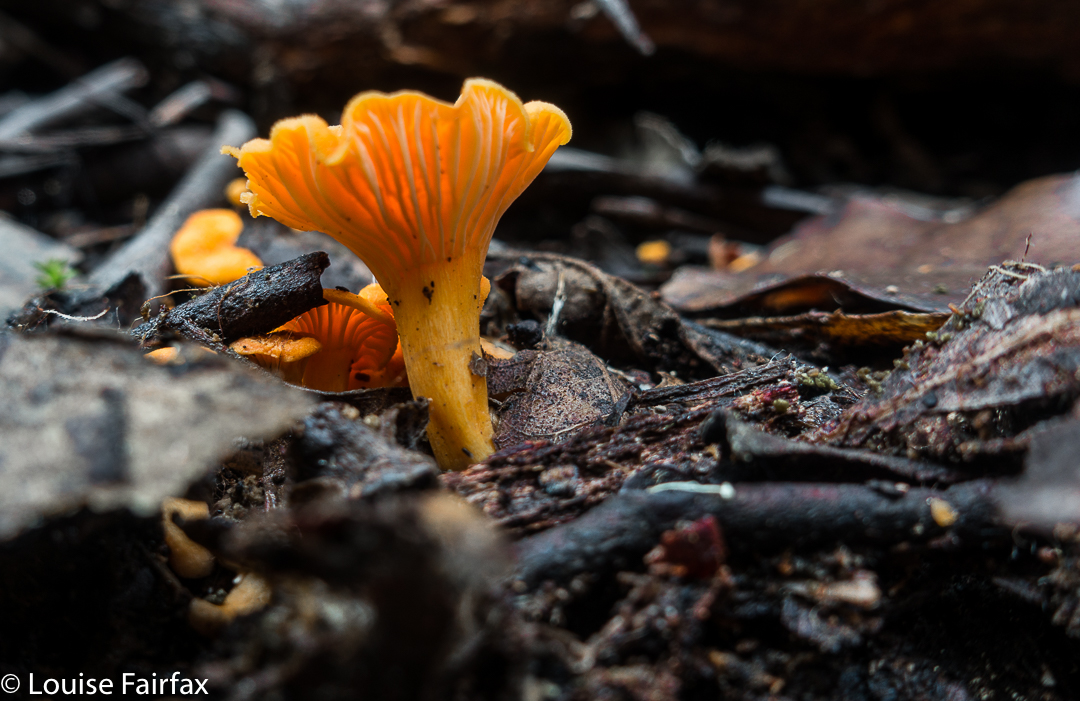
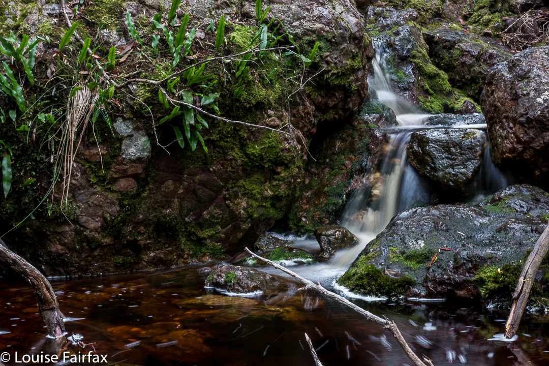
I had always wondered how it was that we could have visited Waratah several times, but never seen the Wandle Falls. That’s because they’re a secret treasure, and require a little hunting out. We tried to follow the instructions in the web, but the one I chose said they were a “short distance from Waratah”, and the writer and I have different definitions of “short”. I envisaged a few hundred metres, a kilometre or two at most. In fact, if you are in Waratah and wanting the falls, you need to drive east for 7kms until you reach the A10, and then drive north along this A10 until it crosses the Wandle River, which it does after 9.3 kms, giving a total of 16.3 road kilometres from Waratah. Fortunately, there was a little bevy of lovely ladies in the museum who helped put us right about the new definition of “short”. The ladies assured us we would be traveling to fairy land, and they were not wrong. We loved our stay. Not only were the falls beautiful, but we had a grand time trying not to step on all the darling fungi, and rolling in moss later, photographing them. Here are a few photos of the expedition – not a huge bushwalk by any means, but DO wear your boots if you go there. There is no track, although there are pink tapes every now and then.
Park your car at the bridge, and walk downstream (on the southern bank).

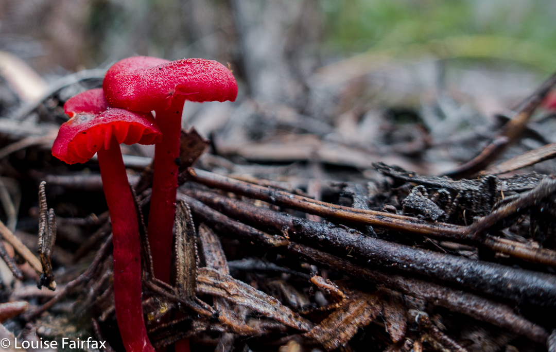
Mycena epipterygia 


Mycena roseoflava

mycena interrupta

Pyramid Mountain 2017 May

Pyramid Mountain 14-16 May 2017.
(For Day one of this three-day hike, see natureloverswalks.com/Rocky-Hill/).


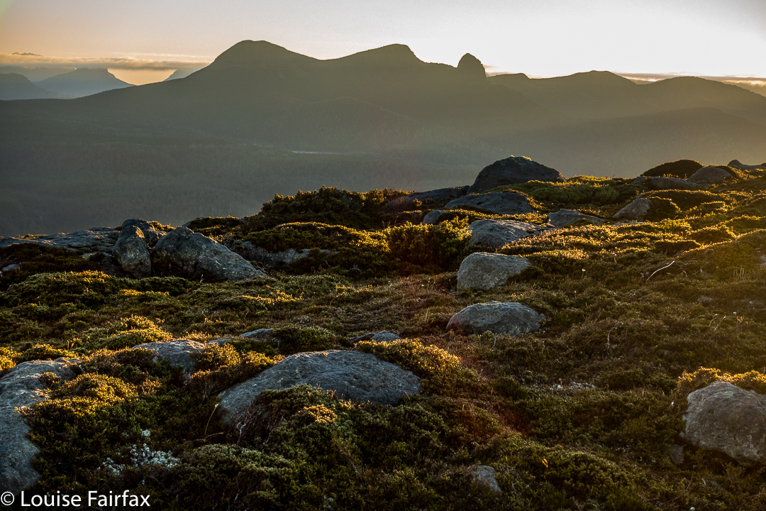
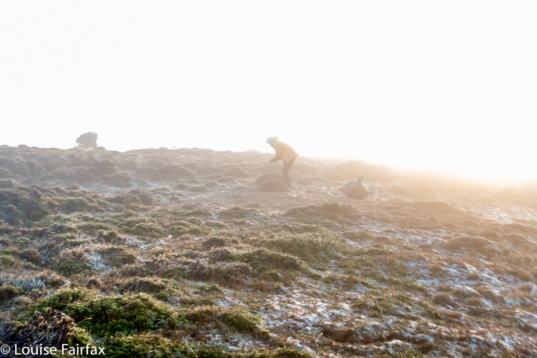
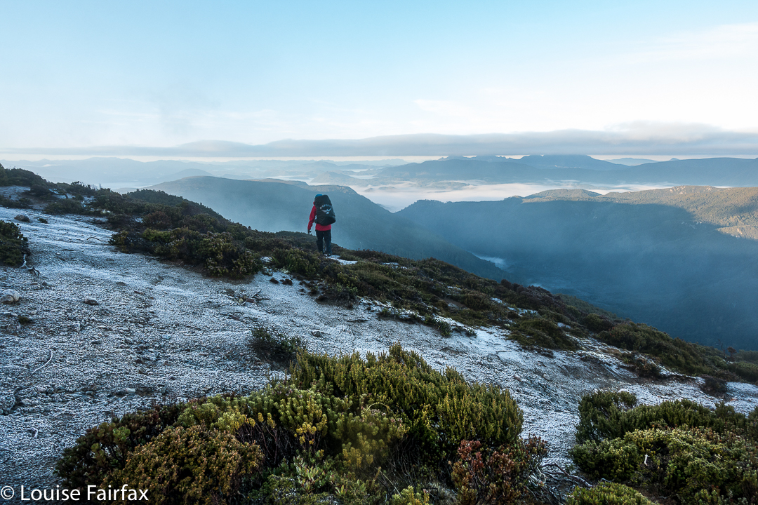
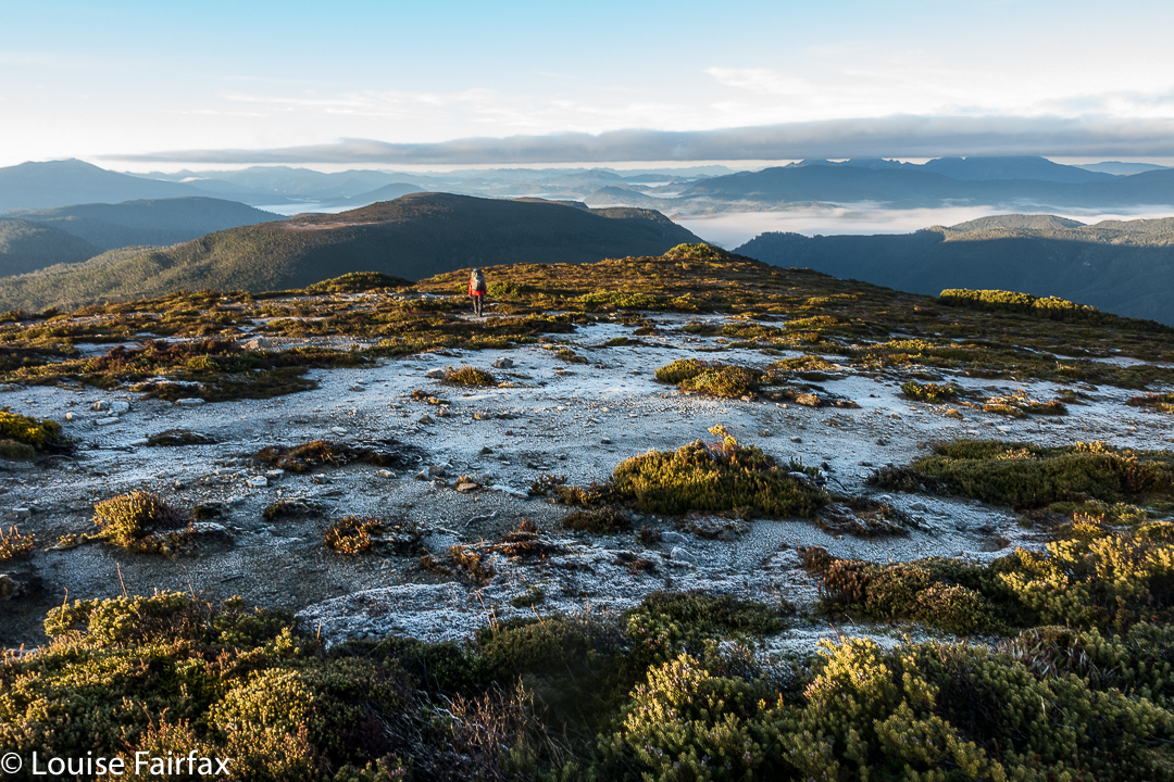
Summit day for climbing Pyramid Mountain dawned. A light fog surrounded us; the grass, of course, was icy, as were our tents. The sun was a kind of dispersed yellow glow to the east. Mountains like High Dome, Pyramid and Goulds Sugarloaf were beautiful silhouettes as we ate breakfast and prepared ourselves for our adventure. How would things play out? Could we do this in a day at this time of year?


We set a turnaround time of 12.30, given the now early time of sunset, which didn’t give us much room for hold-ups or errors should we land in highly-resistant scrub. Off we set, both curious and hopeful.


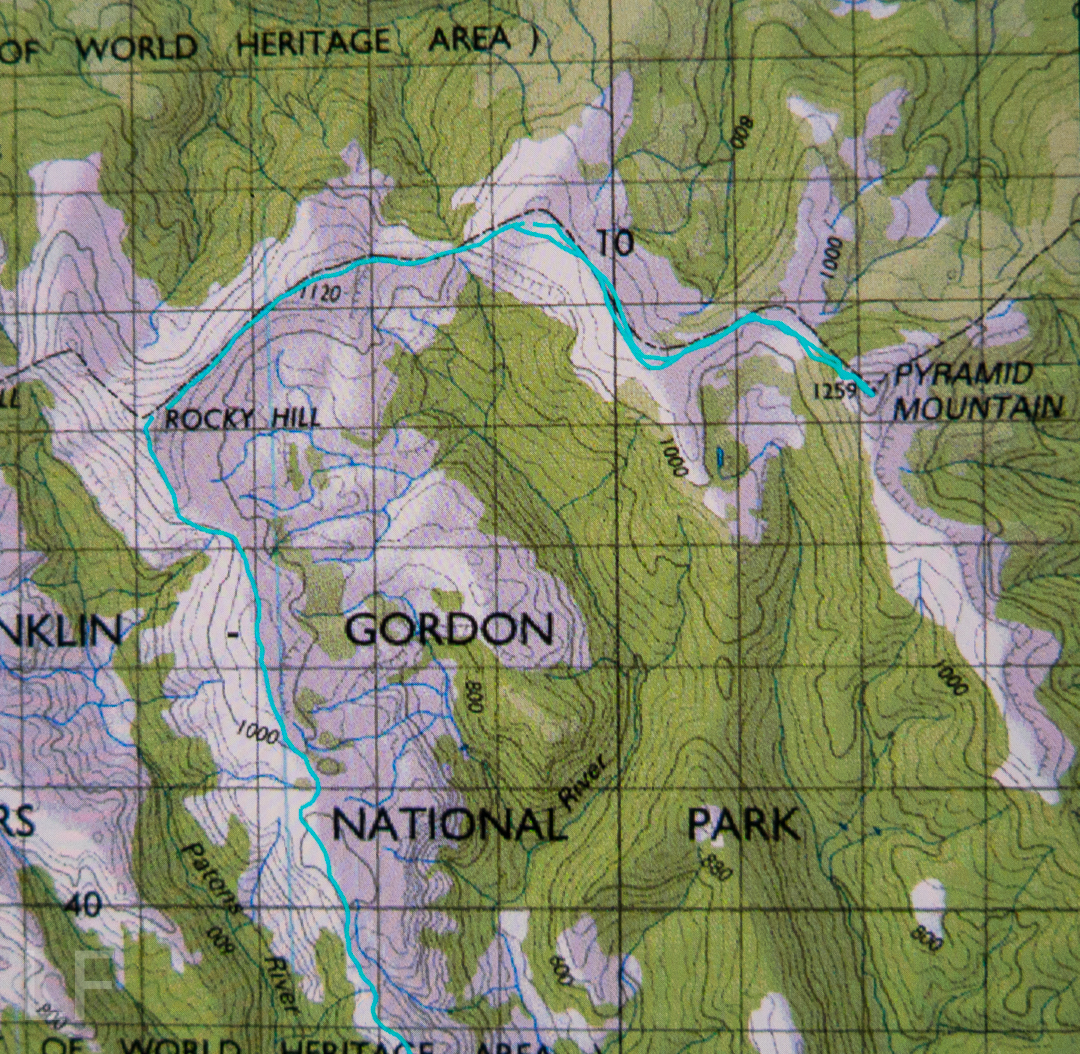
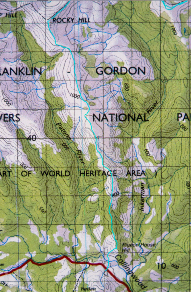
We were at “hill 1173” within 45 minutes; passing Mediation Hill in another 45; and topping the next hill after leaving the main Eldon Range route (Hill 1129) in a further 25 minutes. Things were going well so far. Pyramid looked pretty close by now, and we’d not quite been going two hours. And then the rot set in. After this hill that was a bit of a bulldog in lamb’s clothing, came a route that went first SE and then swung along a ridge that looked fine from a distance, but was like a duplicitous politician at close quarters: deceitful, barbing, and best avoided. Trouble is, we needed to traverse it all the way along its mean and nasty length until it started climbing to the next hill that was so uninspiring it didn’t even have a name or a height number. At least we didn’t need to go all the way to the top of this one, as there was a saving patch of rainforest if you contoured around to the next saddle, the (whew) last saddle before the bitch of a climb up Pyramid.


“I thought you liked climbing, Louise!” you say. Yes, you’re right. I love it, but not when the climb is in thick, dense, impenetrable, energy-sapping, defeating scrub, where you work and work and then look at a your map and realise you haven’t even covered a hundred horizontal metres and you can’t see the mountain, and you can’t even see a way of going forwards. You try left and right and retreat a bit, telling yourself retreat is often the best way to advance … but when you retreat all the way back to the start triangle it isn’t (well, bit of hyperbole there). After what seemed ages, we came to a spot where we could glimpse something. Ahead lay a gulch. Beyond that, cliffs and more bushy climb. We decided we needed to drop down and get on the spur above the cliffs. Somehow that went quite well (face-in-the-dirt steep), which is good as I was becoming increasingly despondent, fearing we’d come all this way to be locked out of the summit at the last minute. Once we were above those cliffs, we could see paths of erosion ahead that would lead us the rest of the small distance to the top without any hindrance other than good old gravity, and who cares about it? Not I. Well, not normally. I was feeling tired and hungry by this stage. One hour after leaving the saddle (a distressingly small distance below us), we were standing on the summit. I didn’t stand for long. It was 11.30 and I wanted lunch. NOW.


The return was faster, much faster. From above, a better line was easier to find, and what took us an hour up, only took thirty-three minutes down (and not just because down is faster than up). The ridge didn’t seem quite so inhospitable now we were in a buoyant mood, and we had a much better route from it to the summit of hill 1129. It was so great to curve around the summit of Mediation Hill and know that our bushbashing for the day was over. We just had to follow the ridge back to our waiting tents. There was no way we would not be there before dark. We even had time to have a drink or two and photograph the dramatic cliffs below our camp. Drinking was unpleasant, as the water was so cold it hurt.


It was a freezing night. Temperature-wise, it was by no means the coldest night I’ve had in a tent (it was probably about minus four; I’ve experienced minus ten and worse), and yet I swear this night holds my personal record for condensation. My sleeping bag became saturated, and ineffectual along with it. Everything got wet. I suspect it might have been because my utterly drenched socks (wrung out, but there was still a large amount of water left in) were inside the tent, along with my somewhat damp coat and long pants. These things were inside, as they might have turned to ice if left in the vestibule. I feared my boots would freeze, but only the laces did.


In the morning, the ice layer on the tent was a thick and heavy sheet that I had to prise off using my tent peg, it being the only implement I could think of that could do the job. Normally my ice is in cute white crystals. I took ages to pack up in the morning, probably because I was dreading the moment when I would have to put those frozen socks back on, and the pants and coat that were still damp from the moist bushes the previous day. There was no point in putting dry socks in sodden boots, and carrying wet, heavy ones in the pack. It had to be done, but was not a pleasure.


We stopped at “Stu-slept-here” Hill (1111) for a drink, but, as with other days, drinking hurt. By the time we reached the glorious rainforest section of Pigeon House Hill, we knew we would easily make it to the car in the light – it was not yet mid-afternoon, so we relaxed and started to examine and photograph darling fungi on the way along that section. They were there in their hundreds, so many delicate beauties.


I made sure the camera and phone were well sealed before the final river crossing. At least if I landed in the drink so close to the car I’d be freezing, but would not hurt my electronic gear or get hypothermia. The world was good. We’d done it.


crepidotus sp


Mycena clarkeana I think


Please don’t be fooled by the dark lines there into thinking they denote a track: they’re depicting National Park boundaries. The boundaries, and our route, follow the ridgeline. Please also note that I refer to Hill 1173″. It is that height on the 1:25,000 map that we used for the greater detail. Oddly, the 1:100,000 map, used here for greater clarity, it is marked as 1120. I guess more modern methods have resulted in a height revision. Not sure.

Rocky Hill 2017 May

Rocky Hill 14-16 May 2017
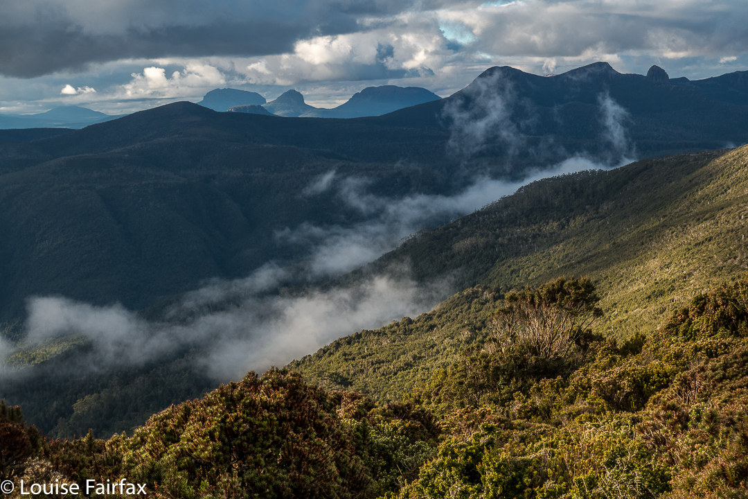

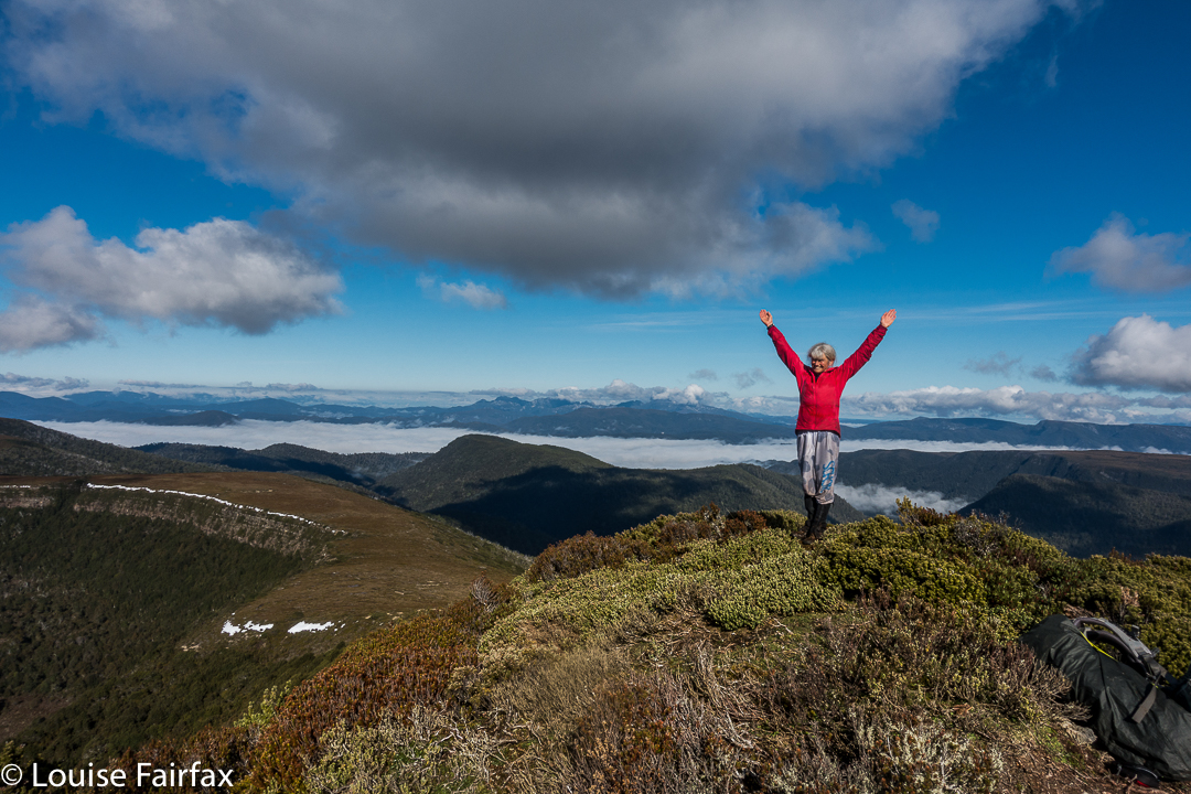
We never doubted that we’d make it, but it was still an enormous relief to crest the final rise that led irrevocably to the summit of Rocky Hill. This was the second time the two of us had climbed Rocky, but was the first time we’d seen its rather elusive view. Clouds seem to enjoy Rocky Hill just as much as we do, and it pleases them to tease would-be view seekers.

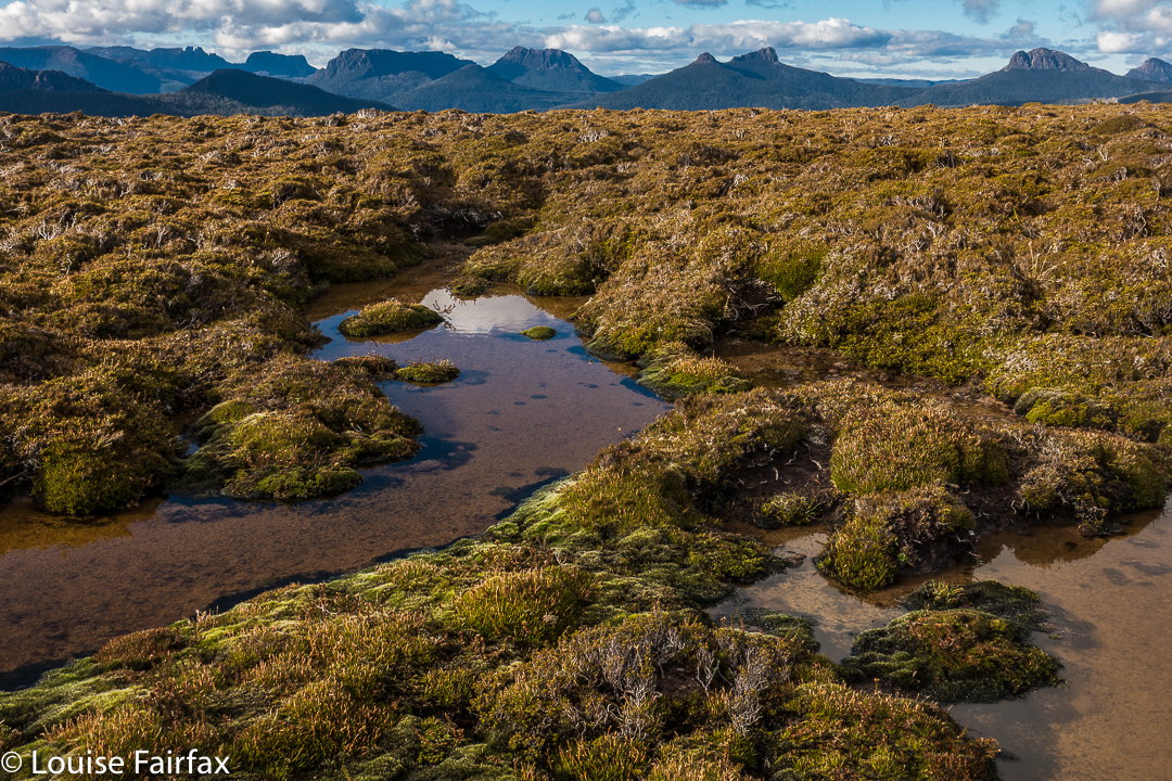
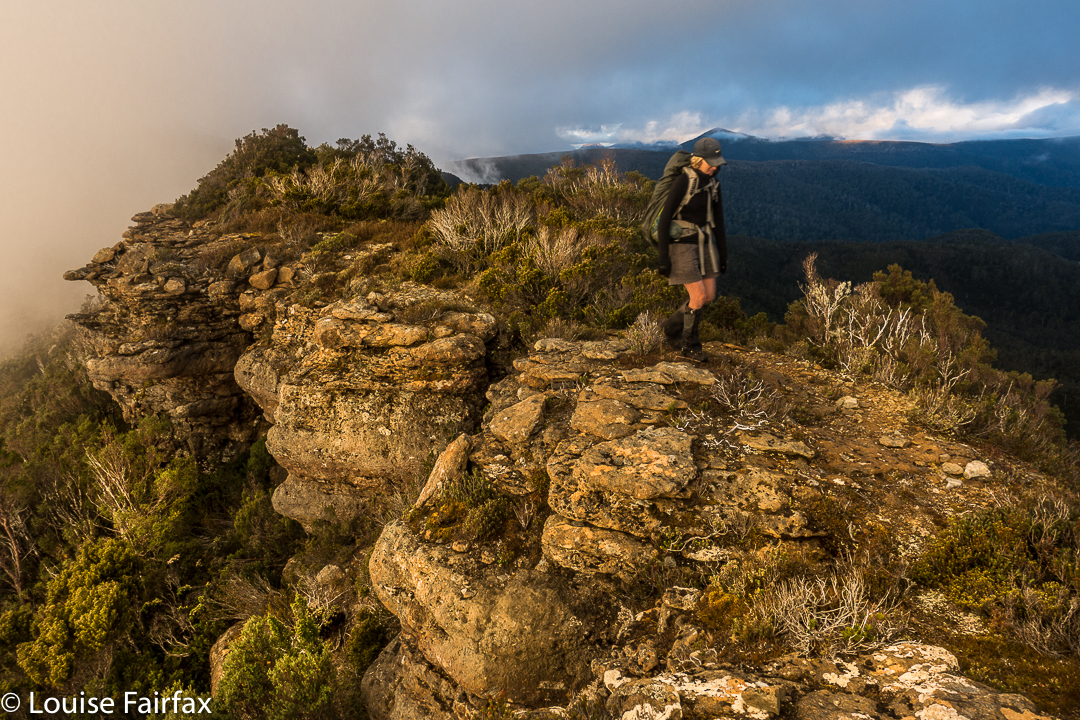
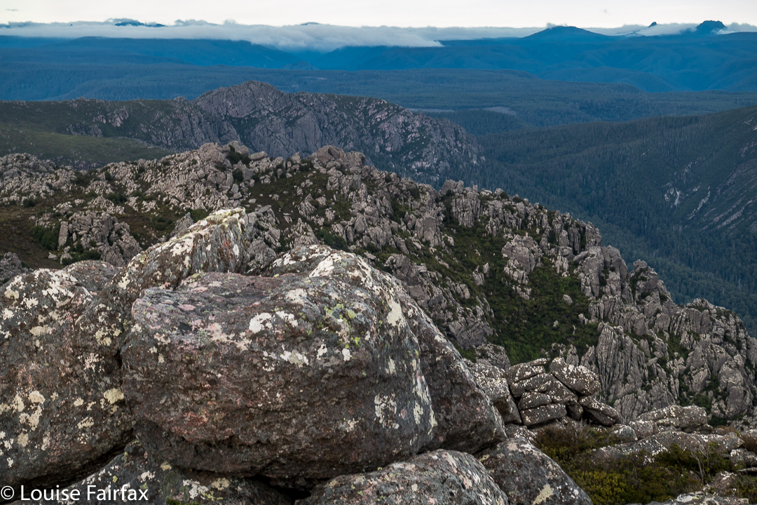
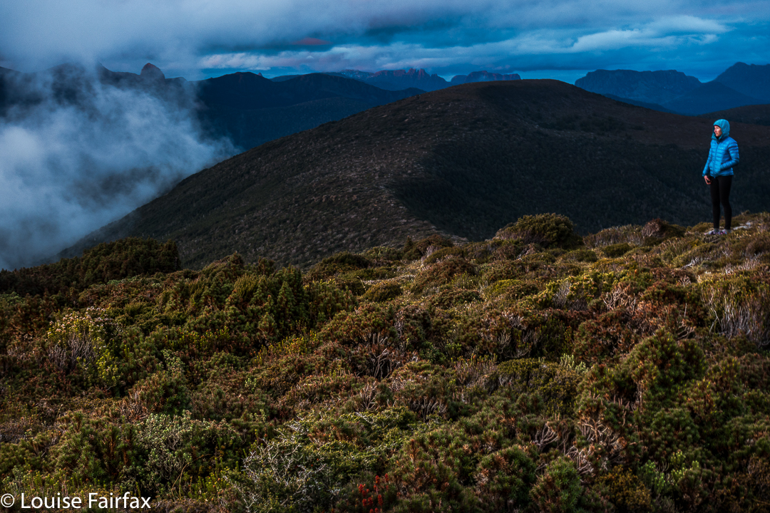
It was so worth the day’s effort to see what we were now seeing: viz, a vast array of magnificent mountain friends, almost all of which we’d climbed, although not all of which we could readily name from that angle. In particular, we adored the different perspective on Eldon Crag and Peak; it was also amazing to see the seemingly ubiquitous Frenchmans Cap, which must be the “most seen” mountain in Tasmania. Way to the north east, we could see as far as Cradle, Barn Bluff and Emmett, as well as Pelion West, Ossa, Thetis, Manfred, Cuvier, Byron, Geryon, Acropolis and Olympus – in fact, the bulk of the mountains that line the famous Overland Track. This was not a view that you just noticed and then departed from. You had to stay for a long time. We bounced around with delight, and stayed all night. Well, in fact, we stayed two nights, so good was the view. The fact that we’d arrived up there by 3 pm meant we certainly had time to progress further along the ridge as far as Mediation Hill, but we were in love with this spot, and we stayed put. We thought we could make it to Pyramid Mountain (our next day’s objective) and back from there, although it was a slight gamble given the short days at this time of year.
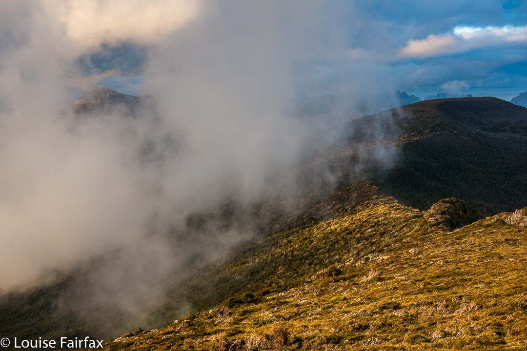

It being so delightfully early, we had the luxury of exploring our little demesne for the night, to suss out snow drifts as a source of water and hunt for the best yabby holes. We spent a whole hour just gathering water for the next two days so that if we got back in the dark the following day, we wouldn’t have to go searching for liquid in order to cook, but could collapse straight into our tents. Our fabulous grassy patch was just below the summit, but, unlike the summit, was soft and lush.


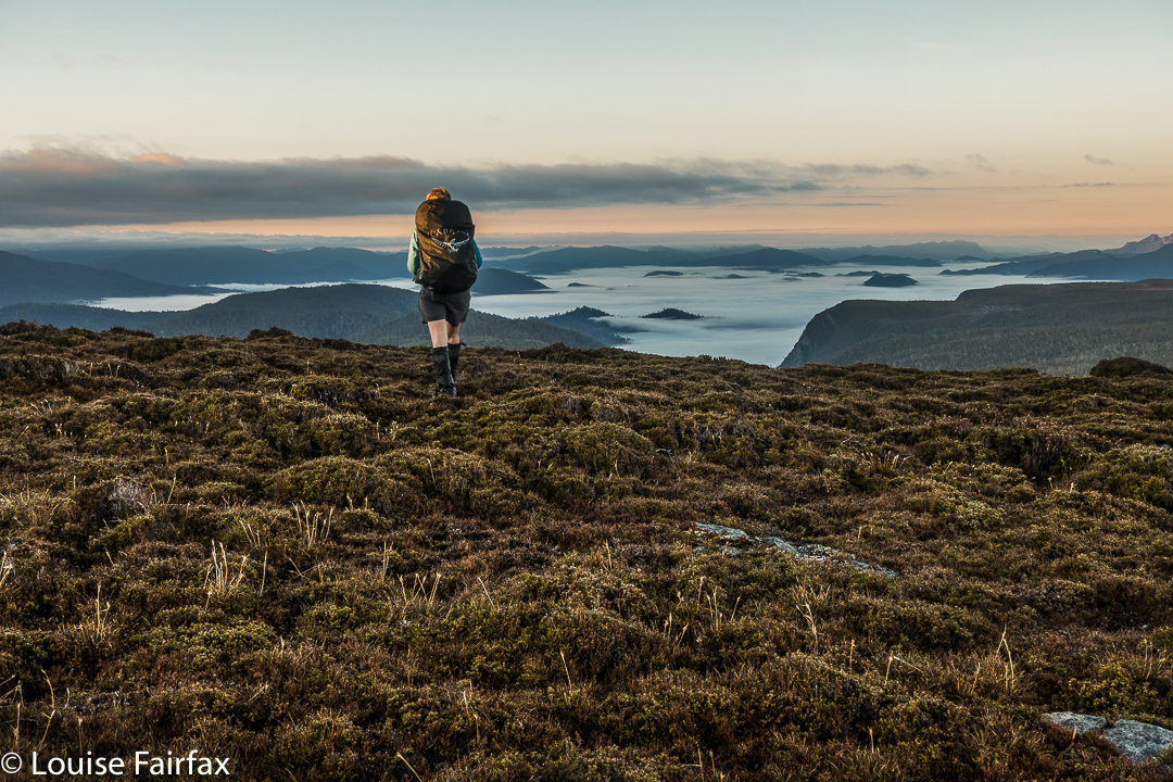
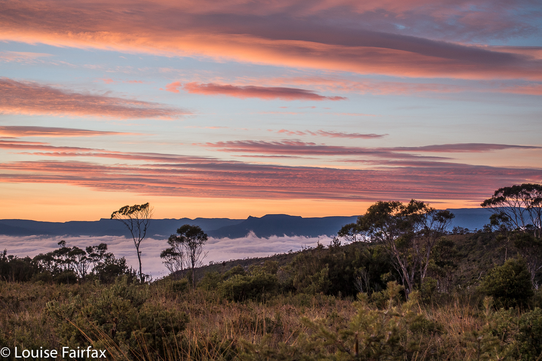
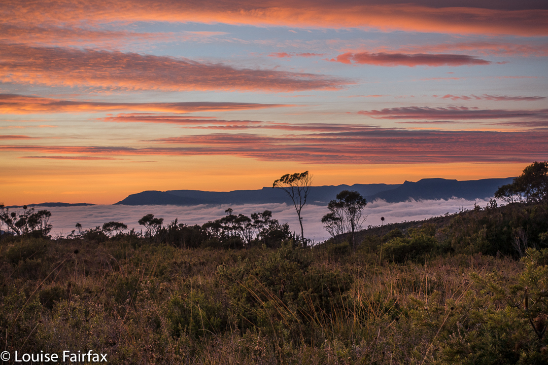
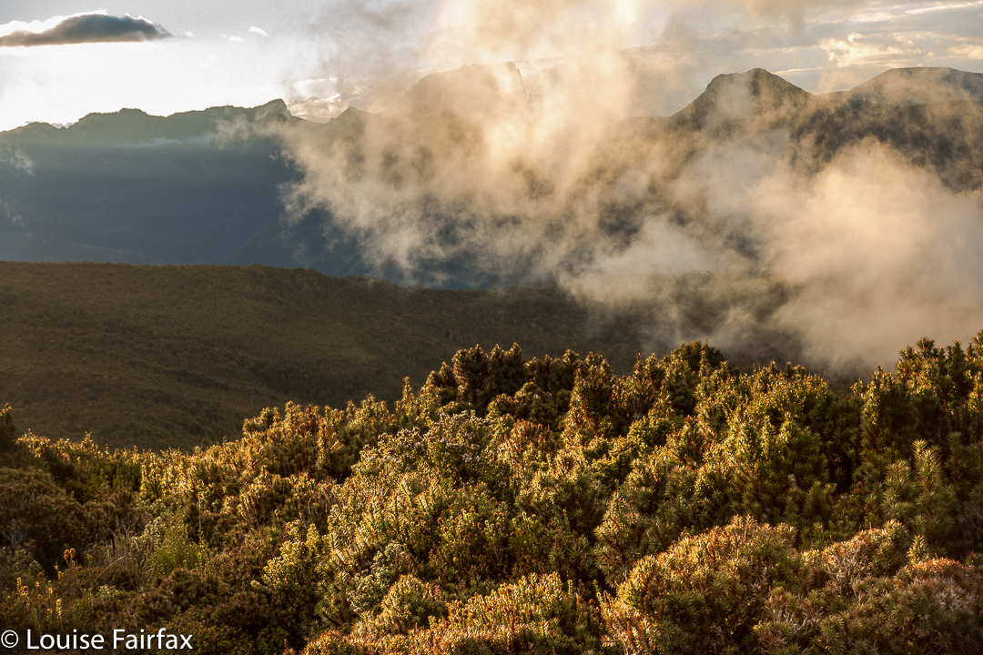
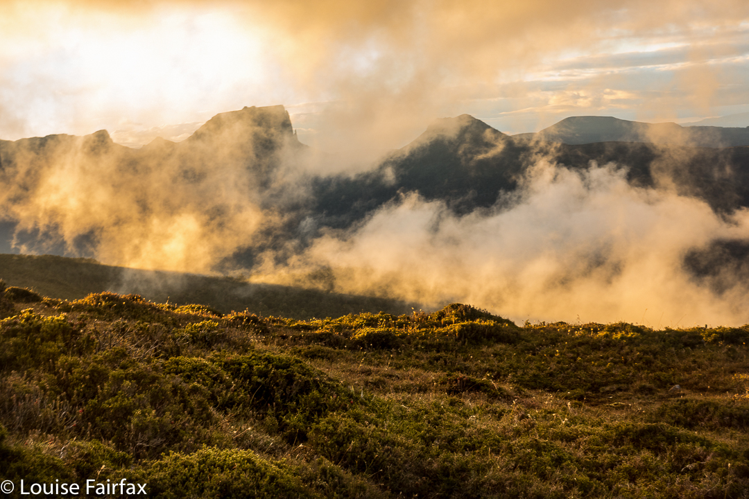
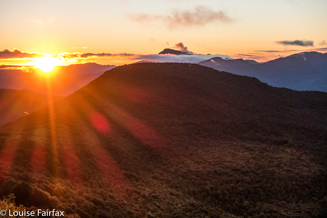
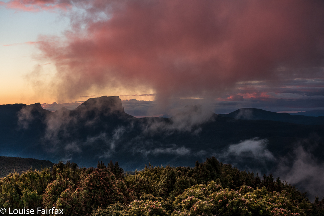
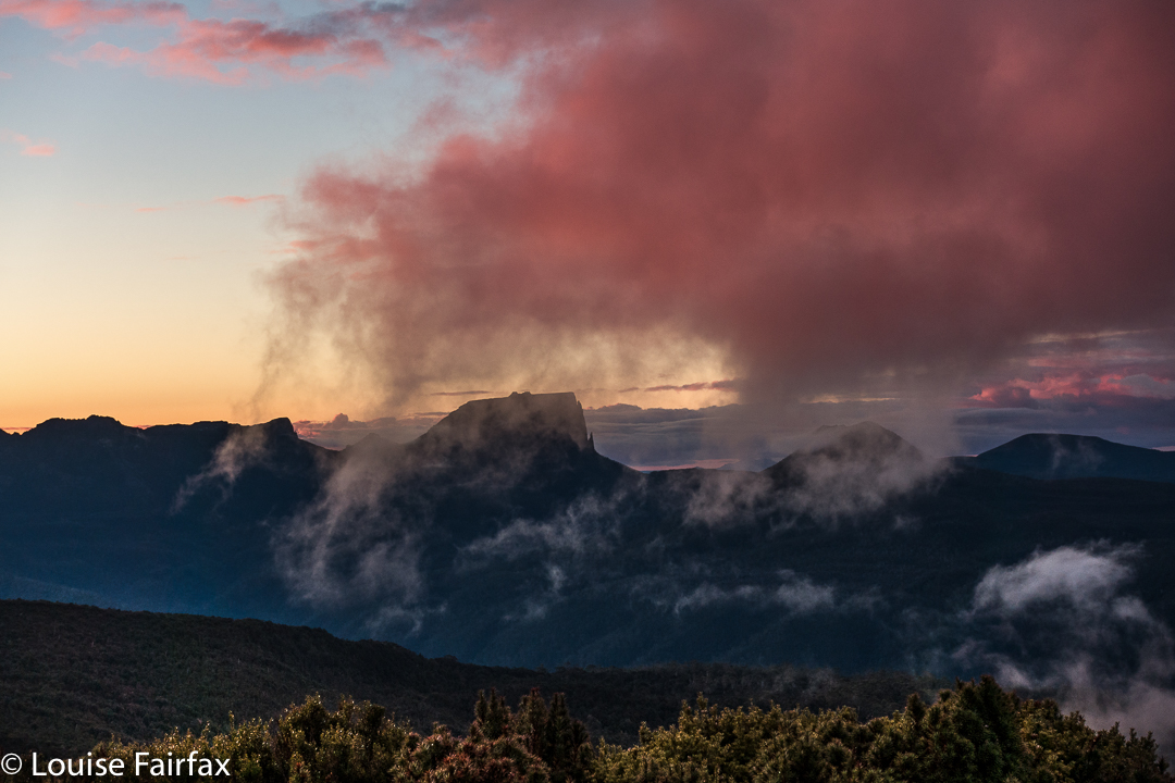
As we slowly pitched and did all the activities associated with turning our chosen bit of mountain real estate into “home”, the clouds rose up in drifts from the valley below, turning more and more golden as the hour advanced. They were soft, wispy clouds that only partly veiled the mountain silhouettes around. Right at the peak of the drama, the ones above turned quite a strong dusky pink; it was a beautiful scene that I will never forget.

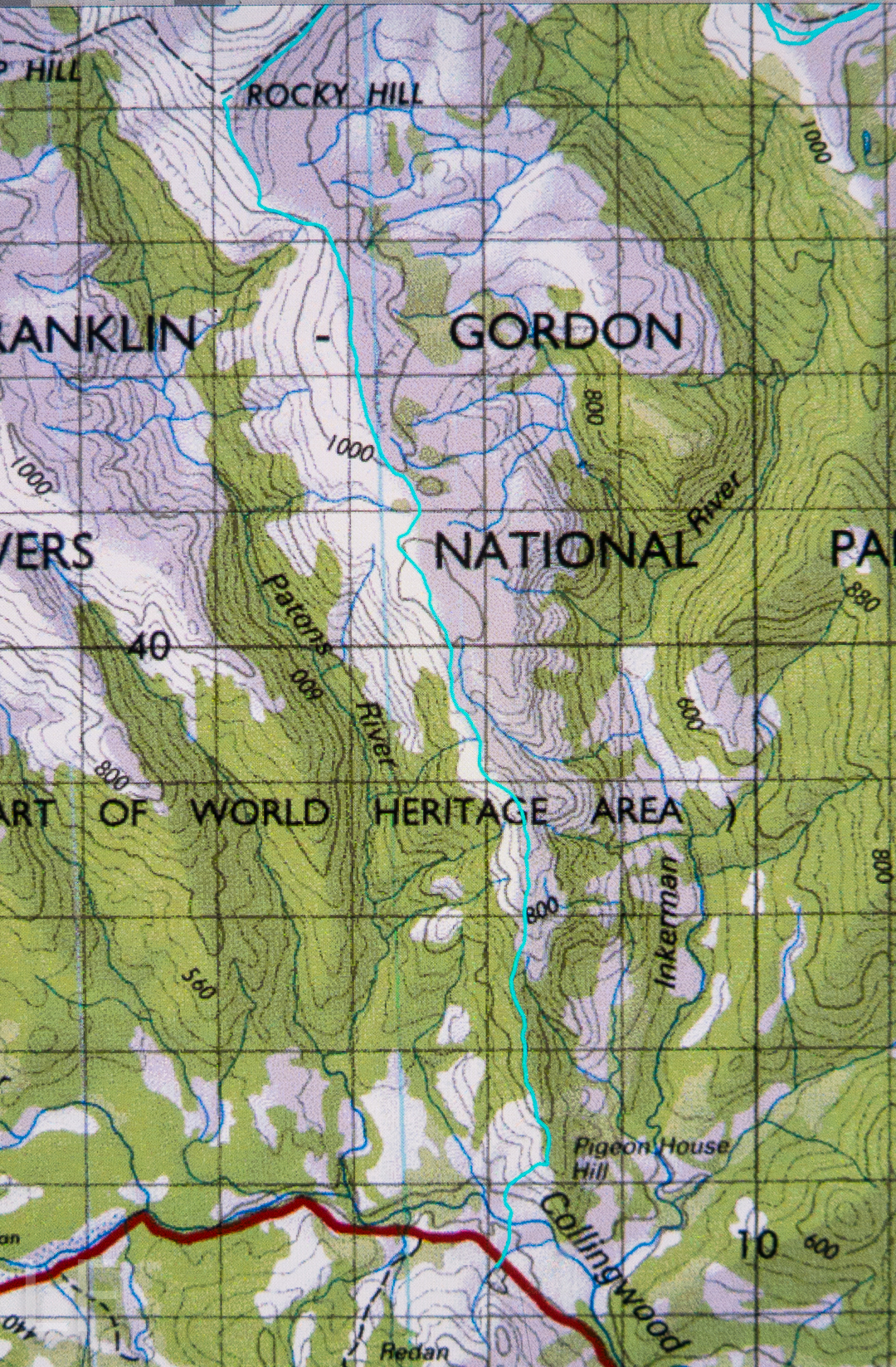
I don’t know why I had been so scared about crossing the Collingwood River at the start of the day. I guess I knew in advance that the temperature would be sub-zero, and that the river would not be summertime-low. It was, in fact, minus one, and upper-thigh high. Brrr. My main fear, of course, was slipping on the mossy rocks due to the force of the water, and falling in and getting hypothermic. I very sweetly let Angela go first to give me courage. It didn’t look easy as I watched her steadying herself, both arms out for balance. I grabbed a stick to help, took a huge gulp, and followed. I went in deeper than she did, mainly to keep on rocks that didn’t look as slippery. I made it, but my bottom half was frozen. Off we set up the very steep Pigeon House Hill. Surely that climb would warm us up. It warmed up everything but our feet; they took a little longer. By lunchtime they’d thawed, but, of course, they remained wet for all three days.

We found some random tapes on Pigeon House. We couldn’t work out where the person who put them there was going, but fortunately there weren’t too many. They took one onto the thickest part of the ridge, whereas the pad of least resistance, and the old route, skirts around the top at that early stage. We backtracked to find old cuts and used the old line instead. It was much easier going. If you are new to bushwalking, please don’t interpret that as “Oh goody, there’s a track up there. Let’s go.” Unfortunately, what I am referring to is small traces of where people have gone on some distant past occasion; you use broken or cut branches or other signs of humans passing (disturbed bark) to pick your line, and you have to have a very good idea of where you want to be going in order to gain from these signs. Please only venture into this untracked territory if you know what you’re doing and have a lot of experience. It is not for novices, or even for intermediate-standard walkers.

Once we gained the ridge past that early topping out, the going was easy for a little while, until our second “top out”, about an hour later, when we emerged from the beautiful forest onto a scrubby hill. From then on, for what seemed a long time, we had to lift our legs very high in a goose-step and at times force our way through higher patches of scrub: nothing too bad, but it does sap your energy anyway.

We concentrated on choosing a good line, and worked hard through the scrubby bits, and eventually we got there. If you don’t know Rocky Hill, don’t be fooled by its deceptive name. It is not a hill at all. It is an Abel, which means it is higher than 1100 ms (1194 to be exact), with a significant drop all around. Already snow drifts were building up with winter on the way. Some tarns were iced over. And the views, as said, were magic.

Next day, we’d climb Pyramid Mountain if all went well (and it did. See natureloverswalks.com/pyramid-mountain/). It was a big ask, so close to winter with the shortened days, but we’d give it a go. Just in case we weren’t quite as successful as we hoped, we packed bivvy bags, torches and a warm jacket beyond the many bundles of clothes we were already wearing. I thought that if we were stuck out overnight with wet gear, a bivvy and extra jacket would not be enough to save me, but I took them anyway. As it transpired, we were back well before our curfew, and had time to play on, and photograph, the rocks on the ridge with our tents in sight, as the mist once more rose up the valley.

Roland 2017 Apr

Mt Roland Apr 2017


I have wanted to sleep on Mt Roland for a very long time. I think the provenance of the desire dates back to seeing a full moon rising from just behind the mount as the sun was setting to our rear as we gazed. I decided sunset up there would be wonderful. That was many years ago, and somehow the chance has never quite come about.

However, just as I was about to leave the house to drive south and pick up my friend to climb Aldebaran together, I received an email saying he couldn’t come due to an emergency. Meanwhile, I had not been enjoying the turn the weather maps had been taking since we firmed up the arrangement, so now that I wasn’t expected to be there, I decided I didn’t want to drive all that way for a repetition of last weekend’s weather. BUT, there was the fact of my packed rucksack and all my emotions that were geared for a mountain climb. I couldn’t possibly do nothing. On the spur of the moment, I suggested to my husband that we at last try sleeping on Roland, despite the rather abysmal forecast. This one could be a recce, a little practice for the real one. I wouldn’t even take my full-frame camera and tripod for this trip, which was good, as I would be carrying the lion’s share of gear for us.

He said he’d like that, so I spent about ten minutes throwing a few items of clothing into his pack, and off we set. My own rucksack was ready for a three-day trip, so I figured I had enough food and gas for two. Not a great deal of thought went into this packing, but I did double check that I’d tossed in enough warm garments for him.

We didn’t get started until 4.15, which is rather late even for normal people. For a man with Parkinson’s disease, this is way too late for this mountain at this time of year, but we weren’t going to back out of this now. We’d be right, I thought optimistically. After 18 minutes, we reached a junction in the track that said that a fit walker could get to the summit in three hours from that point. Oh. It was now after 4.30, and we had a mere one hour of good light. Well, these signs always overestimate the time. On we pressed, hoping the information was very wrong indeed.

After 67 minutes from the car, we were at O’Neills Creek, and stopped for a quick drink. I looked at the map to see what lay ahead for the immediate future. Hm. Many, many contours lay ahead, although we seemed to have done most of the distance. I looked at the track on the other side of the creek and noted that I could see nothing at all. The forest was so dense there, and the clouds so thick above us, and the hour so very late indeed that there was zero visibility. However, I don’t come into the wilderness to camp three-quarters of the way up a mountain in a claustrophobic little gully. I didn’t really like this spot. I wanted the wide open spaces of the top. On we pressed, now in complete darkness, although it was only 5.25.

Miraculously, given Bruce’s illness, we arrived up the top safe and sound, but it was by now very dark indeed, and not just in the deep forest. However, I could feel the icy air circling around me, and it was exhilarating. This thin air is what I love, even when I can’t see a thing. I can feel the infinite space that exists on the tops. I was happy. There’s not much choice arriving like this in the dark. I had no idea how I was going to find a spot to pitch. We were carrying enough water to do dinner and breakfast (which was absurd, as water was everywhere, but at least collecting it was not one of my duties that night), so were not tied to a water source.

I pitched for us and cooked in the vestibule, and we ate our rehydrated dehydrated food in the warmth of my little Hilleberg, agreeing that this was the life. Howling wind now provided background noise to our conversation. It could be heard all night.

Sunrise next day was far better than one could ever have hoped for, especially given the thick clouds of the previous evening. We enjoyed the spectacle, and then breakfasted before heading for the actual summit, which was very windy indeed, but bearable. That said, it was rather an anticlimax after the start to the day. I am not enamoured of scenery that is almost a monochromatic, dull blue, which is what you get when the sun has disappeared once more behind clouds. On the descent, there were streams and fungi and fabulous conglomerate boulders with ferns in abundance to keep us occupied as we walked the very well-graded track. Lunch at the Raspberry Farm was, as ever, delicious.

New Town Falls 2017 Apr

New Town Falls April 2017


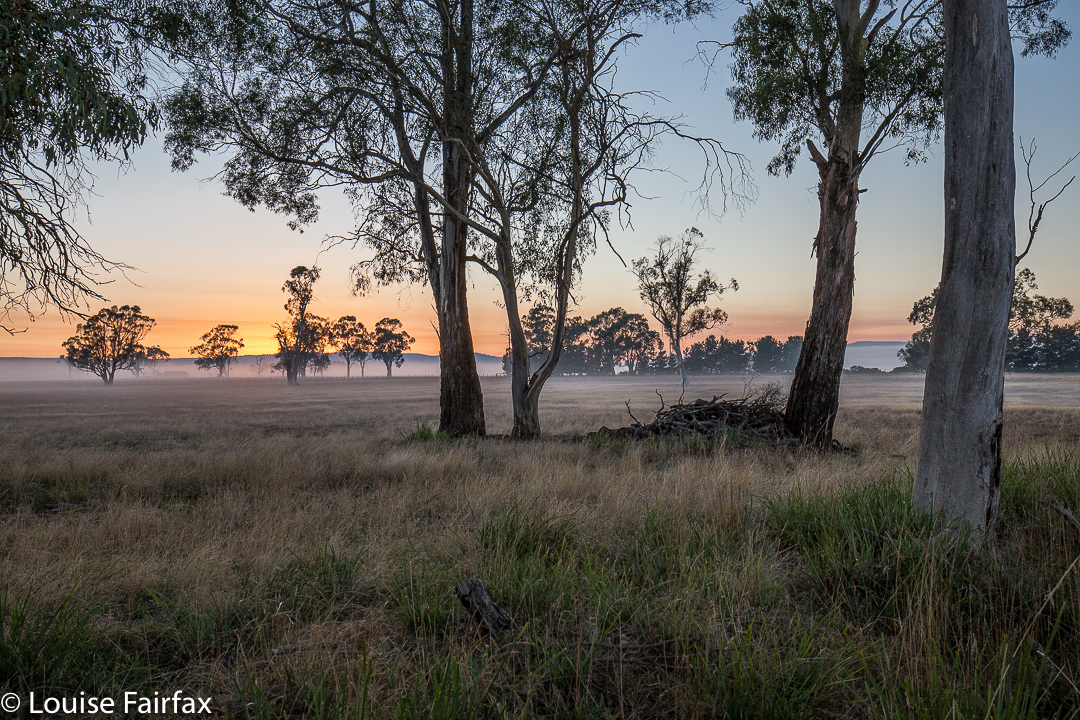
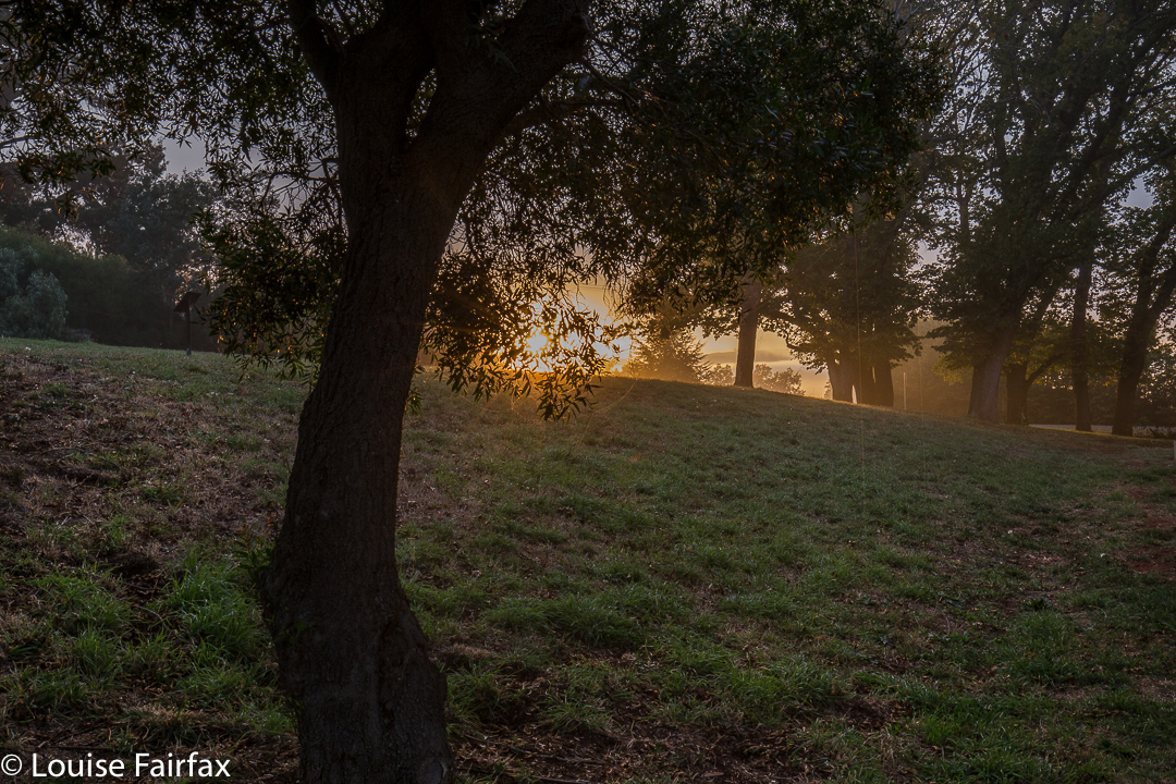
Sunrise near Campbell Town.
I have obviously been romanticising about the amount of rain Hobart has had of late. I thought there’d been enough to give the New Town Falls a bit of a flow, and as I had other business to do in that fine city today, I decided to balance the boring act of driving with a beautiful walk to a falls.


Well, the drive was not boring in the slightest and thus needed no counterweight (we had the most spectacular sunrise with misty effects near Campbell Town), and we did get a beautiful walk to the falls. The only negative aspect of the jaunt was that the falls were not falling. In fact, so dry were they that I didn’t even take one single photo of the matt cliffs that were now exposed, looking all dull waiting for rain. Anyway, we now know what the trail is like (see directions below), so are well informed for our next, hopefully wetter, attack. And meanwhile, our dog claims to have bagged yet another waterfall. She’s building quite a collection, and finds waterfall bagging to be a terrific sport.


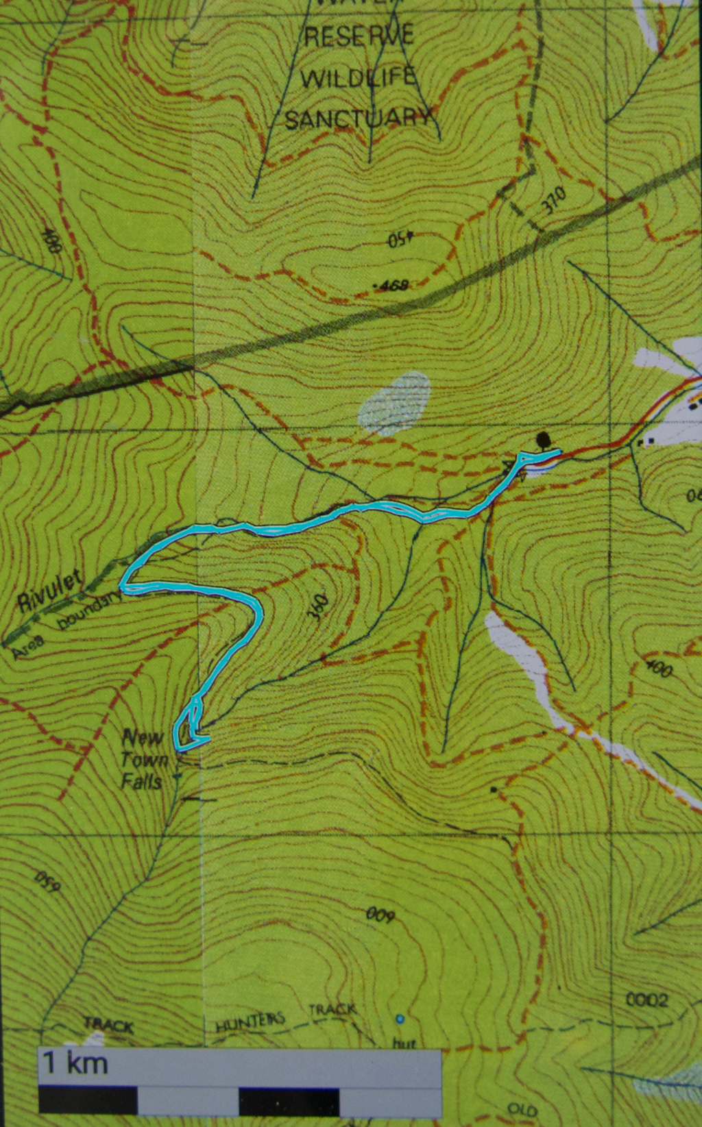
Route: We followed the Lenah Valley road to its terminus, and began walking on the “road” over the creek there (New Town Rivulet) and up the hill on the Lenah Valley Fire Trail, of firetruck width (as is appropriate for such a trail). Ten minutes after beginning, there was a much narrower Lenah Valley Trail – of single human width and going steep uphill – that hived off to the right of this main wide trail. There was a chain handrail, and some steps after a few metres. This narrow walking path continued to follow the same rivulet that the wider track had been pursuing. This stream is not the one that the falls are on.


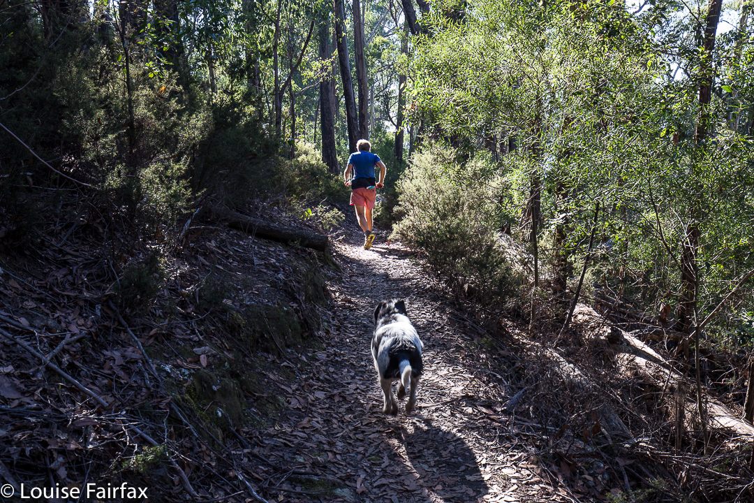
My husband, hurrying to get out of the road for my photo – but I wanted him just there, right where he was in that patch of light.
After ten minutes on this pleasant, mossy path, there was a Y-fork: the right branch, not the one wanted, continued up the hill on a trail that now sported the name “Old Hobartians Track”. Ours was the left hand turn, leading to New Town Falls, and also to Junction Cabin should one decide to go further. This continuation of the Lenah Valley Trail takes you around the nose of the spur to your left, and then delivers you to your waterfall. This section is mostly on contour. After a total of thirty minutes since leaving the car, we were looking at our empty falls.


Just before the falls are reached, the track branches into two, with neither offshoot being signed. The left (lower) one leads, predictably, to the lower falls, and the right to the upper. If you go to the upper first, you can cross the creek and then take a tiny path downhill to the lower. Cross again and climb back up on the path to where you first met the fork. This little circuit took us six minutes. We were not delayed by photography, sadly. It was then twenty three minutes back to the car. We were thus back in around an hour. Do remember that these times are walking only. Under normal conditions, add in time for photos and, if you’re lucky, for fungi spotting. Our walking times were half the recommended. We were not racing, and my husband has had Parkinson’s disease for fifteen years, so is no speedster. That said, he is remarkably fit still for a man with his terrible illness (or for any ‘average’ man, for that matter). Also, I am not sure that the circuit described would be possible when the creek is in full flow. Two people we met near the car said that in the depths of the wet season, it isn’t even possible to cross the New Town Rivulet where the cars are. They suggested phoning Hobart council to see if the stream is crossable before setting out if there’s been a lot of rain.
Total walk for the round trip, according to my gps, was 4.5 kms, with 238 ms climb, yielding 6.9 km equivalents.