Scorpio 2017 Apr

Mt Scorpio, Apr 2017
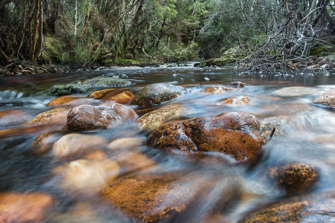
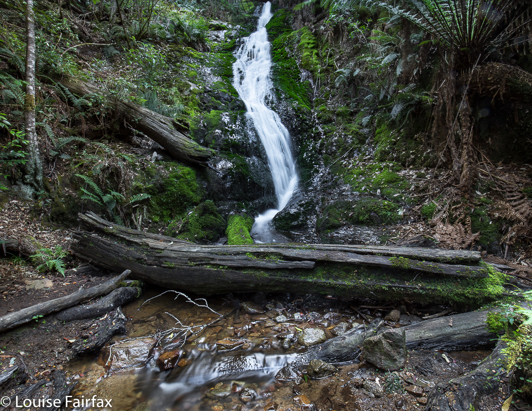
Our camping spot, Seven Mile Creek.
Mt Scorpio, stuck out there towards the eastern end of the Western Arthurs, has always had a certain allure. Perhaps it’s Dale Lisson’s photo in the Abels II book, with diminutive, rucksacked figures walking up a knife-edged slope, that gave birth to my feelings towards this mountain, and created a mixture of respect and fear, combined with a  desire to be on it myself one day, and to summit it via that edge.
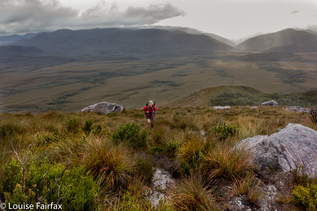

Climbing Kappa Moraine.
At last I got my chance this Easter. Unfortunately, a different book said not to climb it in wind. Even more unfortunately, the weather whipped up a beauty of a blast, together with mist and rain, on summit day. Oh well. That’s nature. She doesn’t cede to our desires.
On our first day, we had walked in over 20 kms along the MacKay track to Seven Mile Creek. It was not necessary to walk all this way – there is a Kappa shortcut in existence – but we decided we wanted to camp there this time; we’d go up the shortcut on our second visit to the area (we both envisage many visits yet to come). We knew the forecast for summit day was not good, but Angela is a working woman, and sometimes you just have to take what you can get.
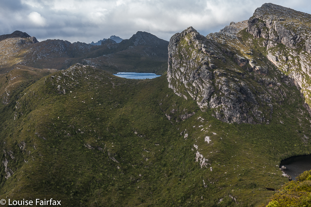

We both loved this glimpse of Promontory Lake before the clouds came in. I must go there one day!! And I must climb Carina Peak to its right.
We were quite hopeful as we walked across the plains from our tent site next day (about one hour’s duration). It was cloudy – a little bit misty – but that was all. At last we were climbing, not having a clue if one of the mountains we were looking at was our mountain, or just a kind of prelude to it. We only got glimpses. We could feel the wind increasing, so, short of the top, donned extra layers in case it got wild up there. Good move.
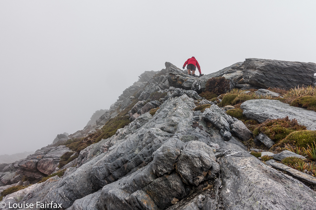

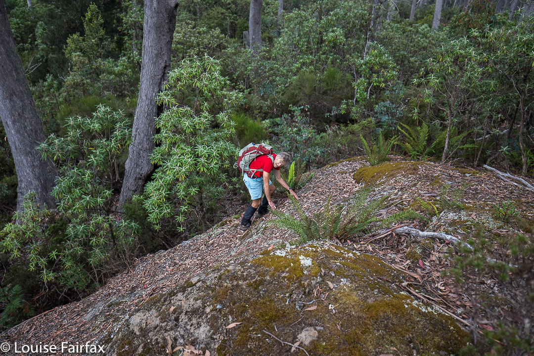
Angela climbing the final stretch.
The Abels book implies that you just kind of walk straight to the top, but when we reached the nearer end, we could see no obvious route up, and certainly not the one of the picture, so I voted that we go to the further end instead. THERE we found the scene I was awaiting. I didn’t want to completely copy Dale’s image, so chose a different angle and asked Angela to please go on so I could photograph her on the dramatic slope. The wind blew more strongly.
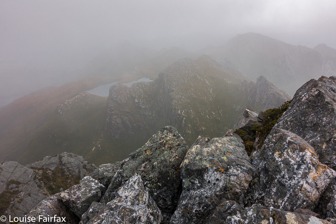

Summit “view”.
After she had finished posing for me, Angela ducked left, not enjoying the deadly drop down the cliffs to the east, and heeding the warning not to climb on the ridge on windy days. I followed up at this stage. I saw where she had gone, but was rather enjoying the airy space, and had plenty to hold on to, so kept on the blade. I got to the summit, photographed, wondered where Angela was, and began to descend, hearing her calling  me as I did so. The wind was so strong I couldn’t hear what she said, and neither did she hear my full answer.
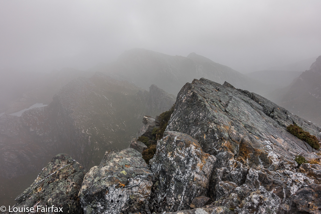

When I got back to her pack, and saw she was not there, mild panic set in. (She didn’t want the wind buffeting her rucksack, possibly knocking her off balance, so took it off for the final climb. On the other hand, I wanted my back protected from the iciness of the blast, and thought that if I fell, I’d prefer to land on my pack rather than my bones. If you could see the drop, you would know that whichever part of your anatomy landed first would be utterly irrelevant, and that pack or no pack would be of no consequence at all. Be that as it may, my pack stayed on).
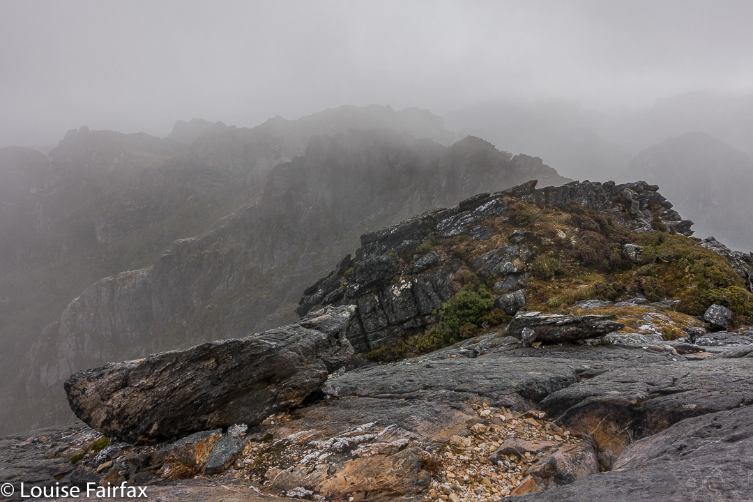

I was unbelievably relieved when I saw her emerging around the corner. Her yell had not been for help: it had been to tell me she’d found a cairned route up that was not exposed at all. She enjoyed her route. I liked the mild adrenalin rush of mine, as there was no real danger if you didn’t let go, and the handholds were firm.
All of those antics complete, it was now 10.30. We decided that, despite the weather, we’d continue on towards Aldebaran. However, with each step, it seemed, the rain got stronger and the wind more forceful. We had to cross a saddle before Lake Sirona, and in this stretch, I was blown a metre to the east on several occasions. It was taking all my might to fight the wind.
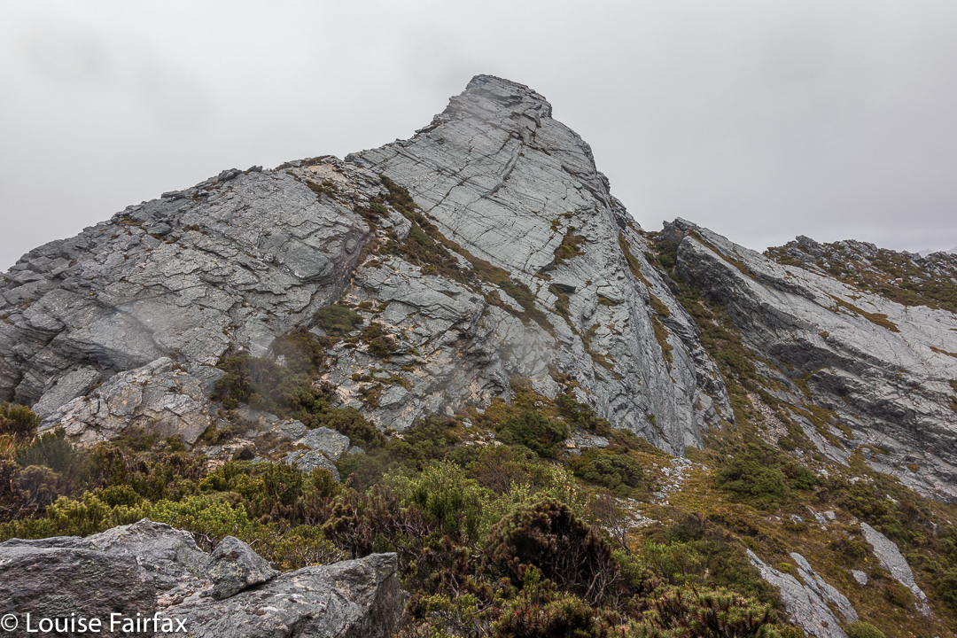

The knife-edged ridge from beyond.
Up we climbed, … up a chute which was quite slippery, but doable, and along to another saddle. Ahead in the gloom lay numerous lumps and bumps of unknown difficulty. This next saddle, like the one before it, had huge drops on the leeward side. I was now moving very slowly in my attempt to deal with the effect of the wind and to protect myself from a huge but terminal flying lesson.  I wasn’t moving fast enough to stay warm, despite my multiple layers of clothing. Reluctantly, I told Angela I thought I should quit. She was very obliging, and about we turned.
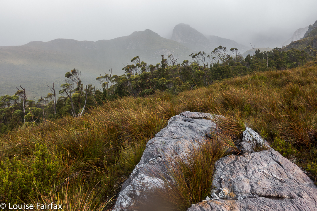

The way back was windy and wet, but as we got lower, I could move more quickly and thus stay warmer. It was far more fun being out there dealing with wild nature than lying in a cosy tent, that’s for sure. We were back mid-afternoon, and seemed to spend most of the remaining hours of the day eating, calling the food a variety of meal names.
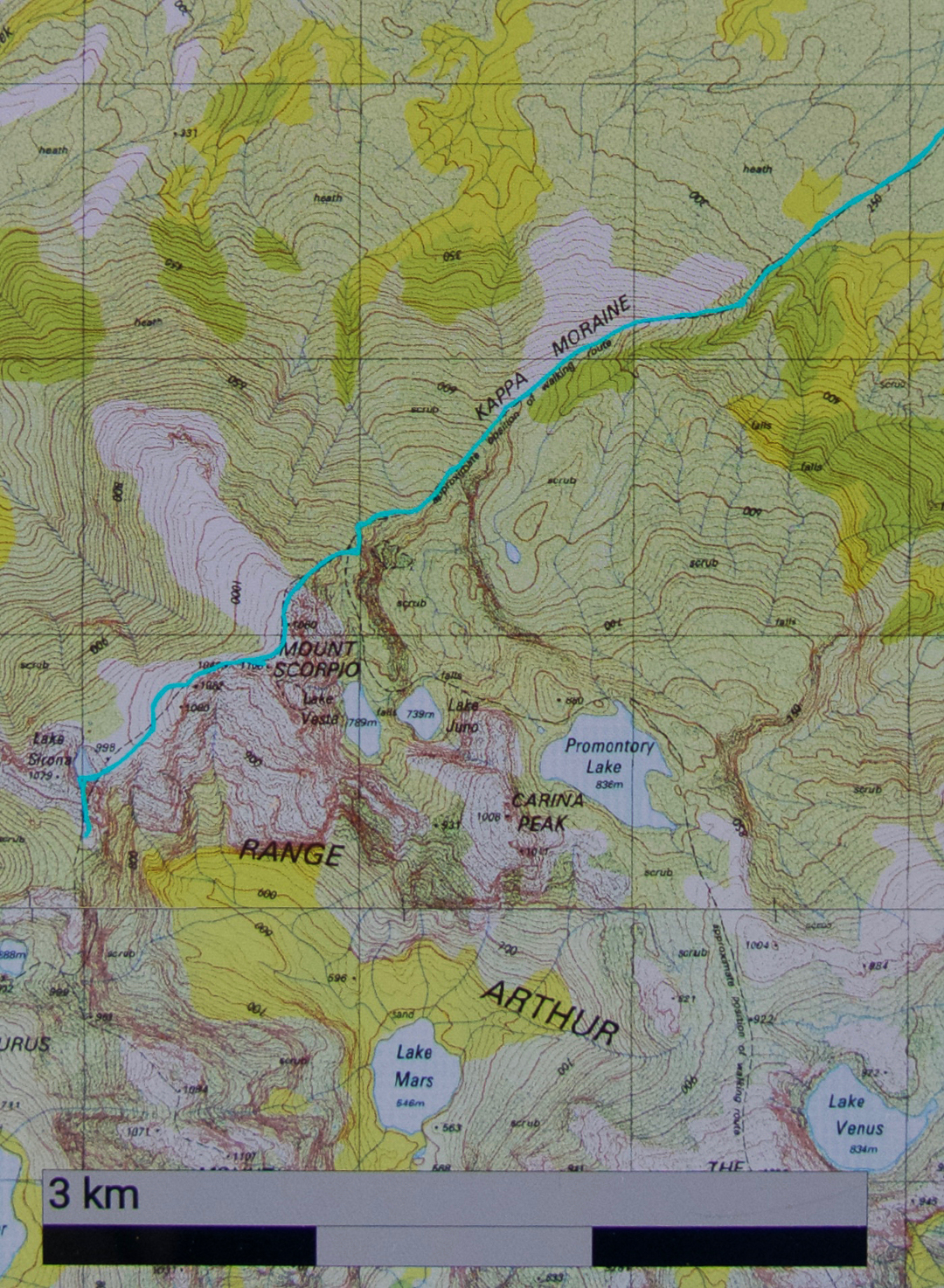
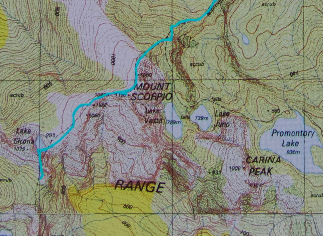
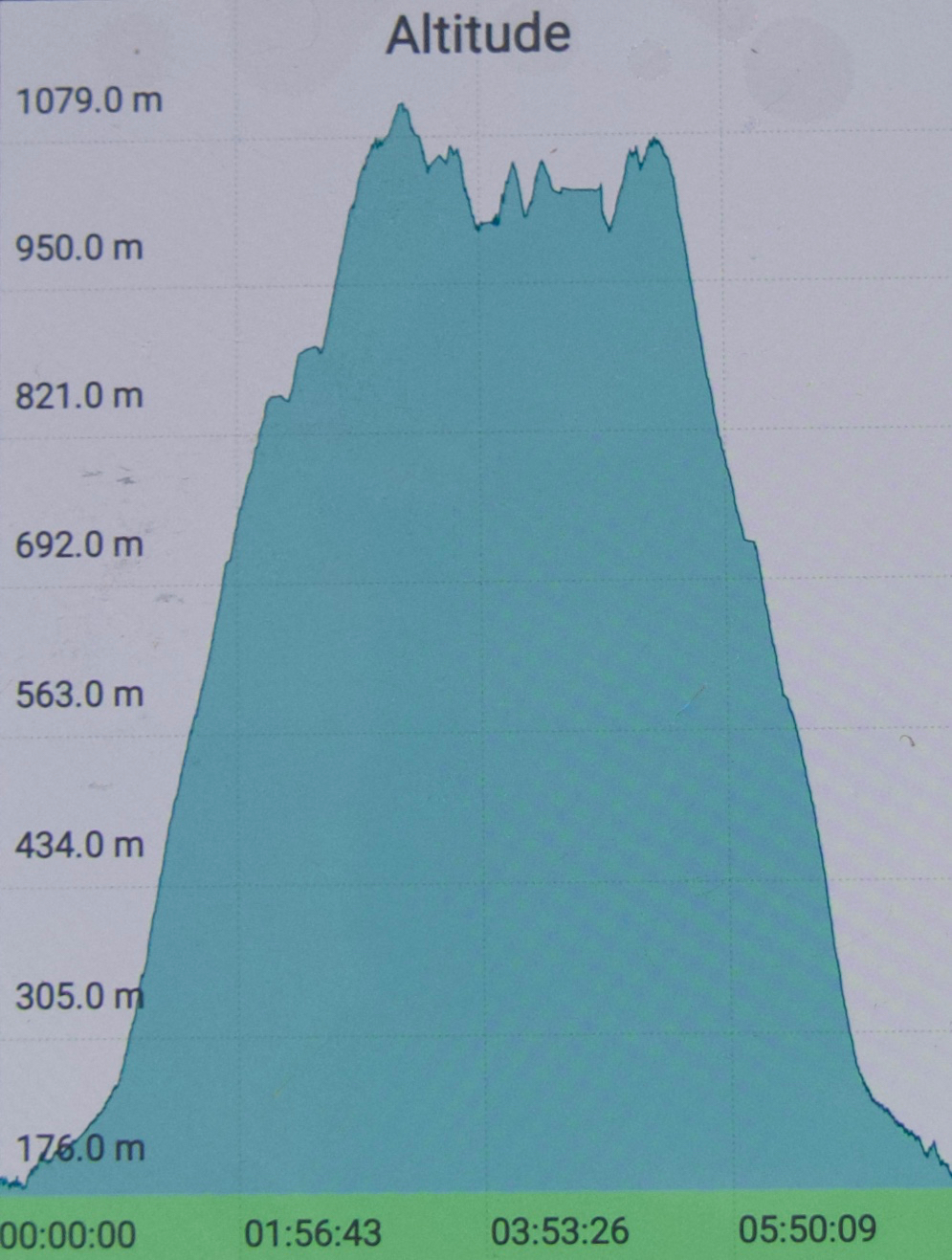
You can see we climbed the final stretch via the “back door”.
Evercreech Falls 2017 Apr

Evercreech Falls.


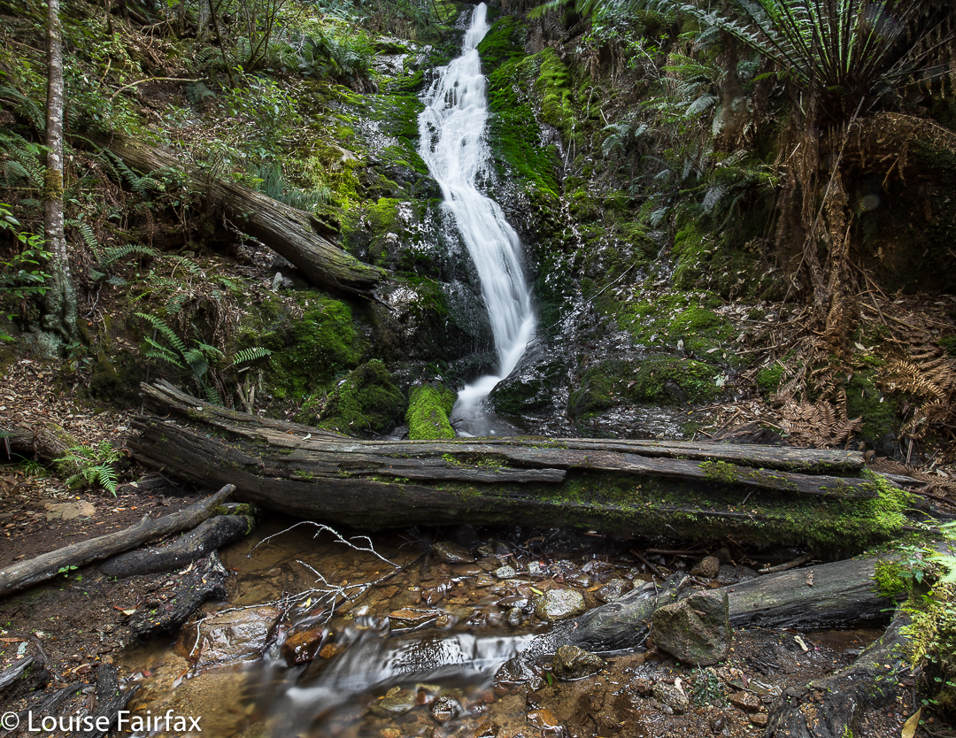
The Evercreech Falls were the second part of the walk I was leading yesterday. (See natureloverswalks.com/mt-blackboy/ for part one) I would never normally have gone to the Evercreech Falls at this time of year. I knew it was too dry for both a decent flow and for the fungi that I so love seeing, but the club wanted me to do it, so I agreed; I like to give back as well as to take when it comes to club bushwalks. I intended, however, to do it when the waters were running and the fungi were out, which is not early April. Predictably, the fungi were desiccated and the falls offered only a moderate flow. These photos are what I managed to see under the club-type conditions. Thankfully my charges didn’t mind waiting while I took a couple of thirty-second exposures. (Setting up actually takes an inordinately long time – especially when you know you’re holding others up.) I’ll redo the long drive some time in late May after enough  rain has fallen to reawaken the forest and invigorate the falls. Until then, this is the best I can give you.


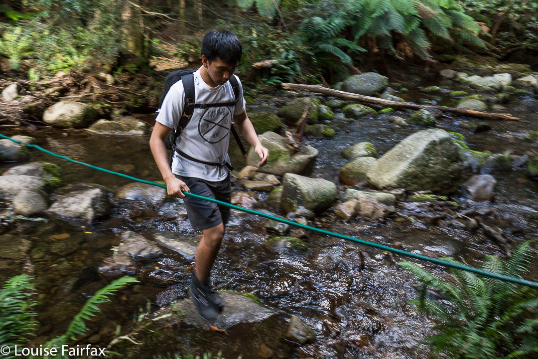
When you arrive at the forest reserve, there is a big shelter to your right, and an ugly metal bridge to your left. The loop, if you choose to do it, begins at the far end of the road if you go anticlockwise, or at the ugly bridge if you go clockwise. You can go up and back on the western side (i.e., using the bridge), and thereby avoid the creek crossing pictured above. Two out of five of us fell in negotiating this rope (only up to their knees). The group I led took 18 minutes going on the right hand side of the loop (eastern, over the creek as above) and 18 minutes back on the other side, so the forty minutes is, if anything, a bit of an underestimation, as it allows for only a couple of quick snaps at the falls. Of course, I wanted longer than that. (One starts at the southern end of the track, if that isn’t clear).
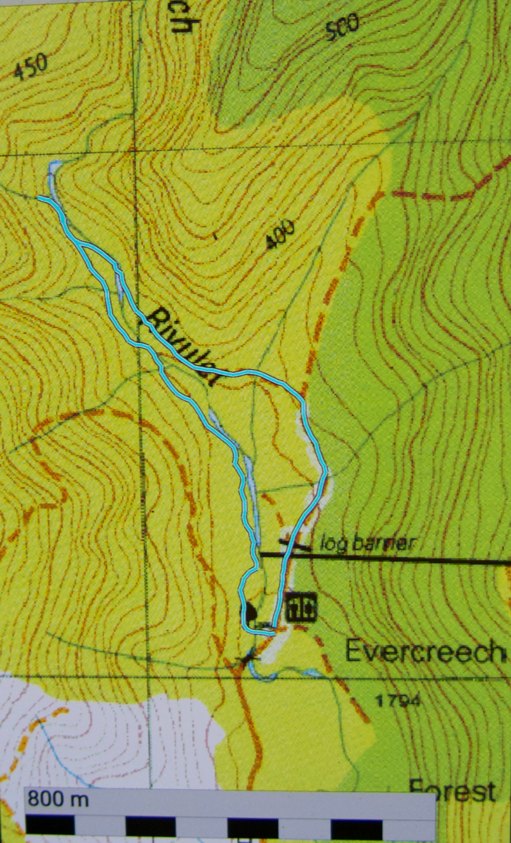
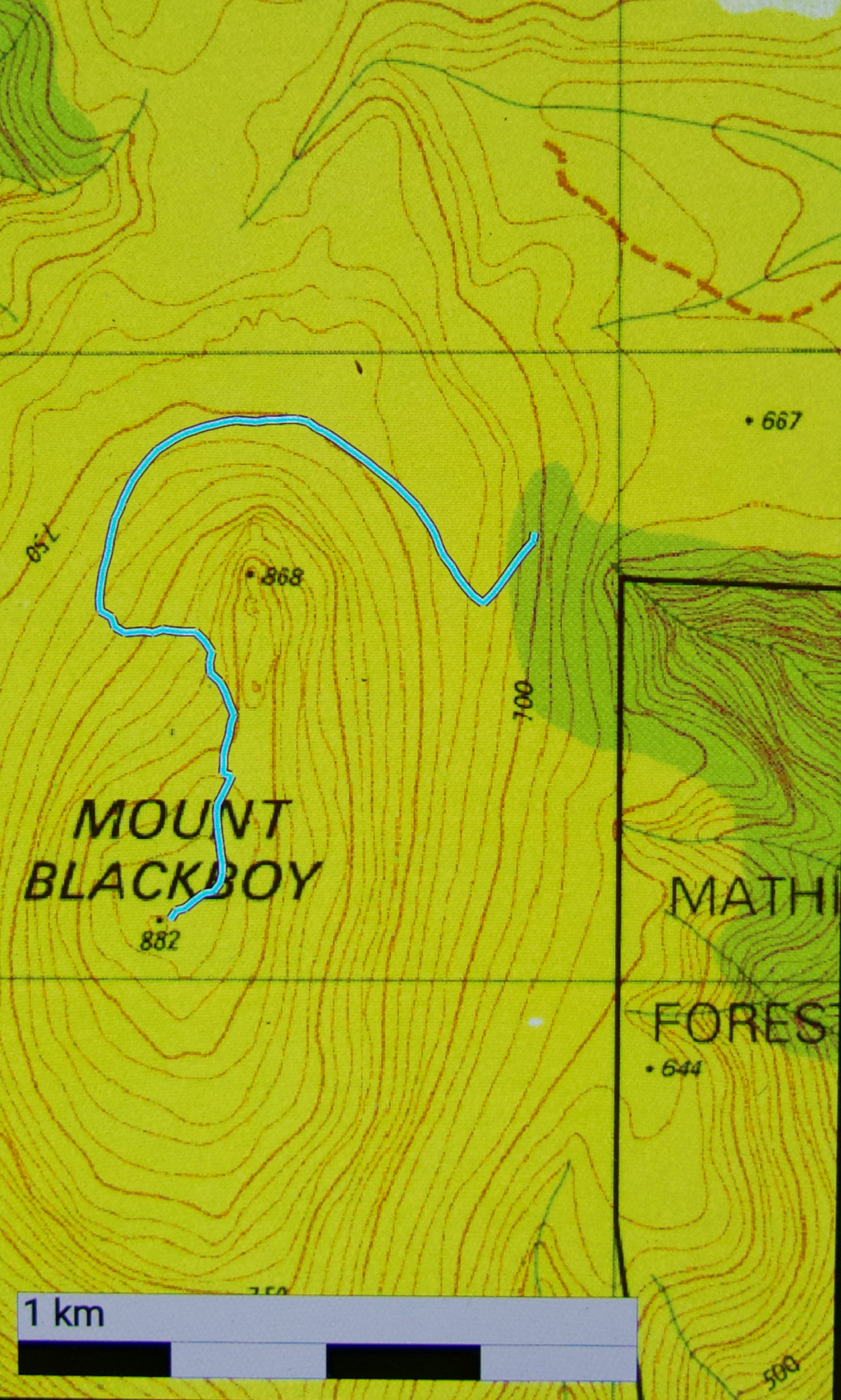
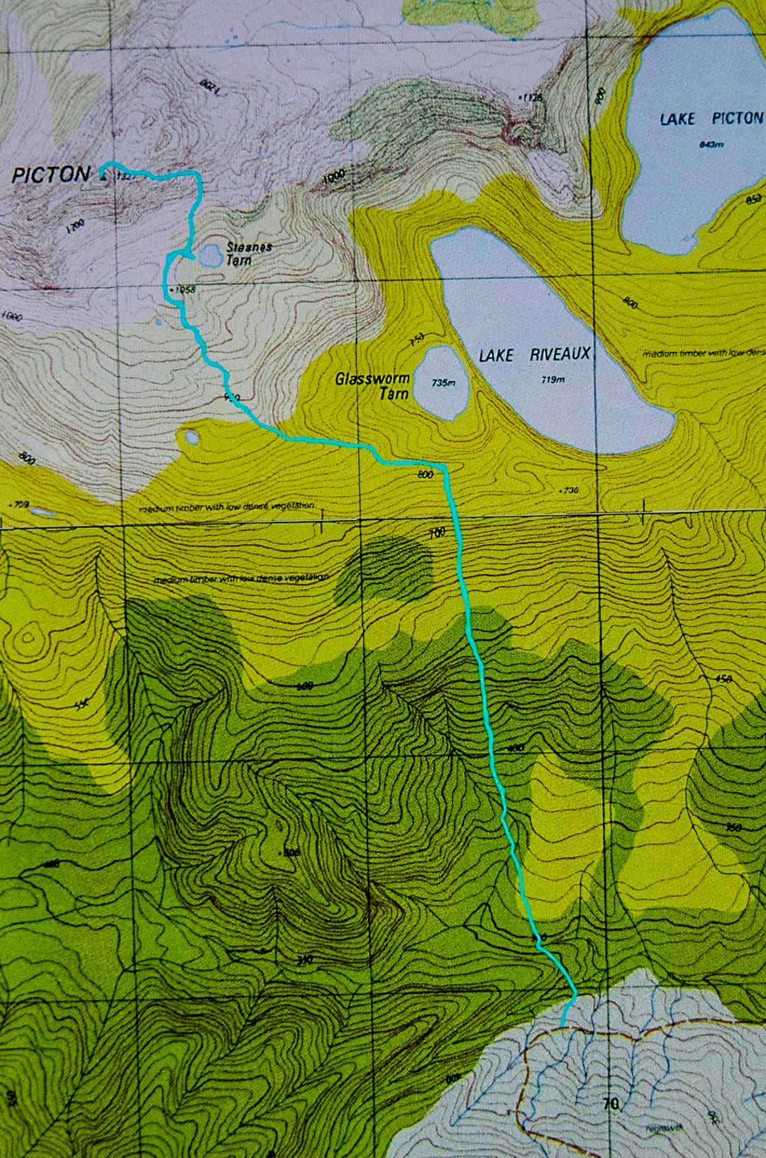
The route we took in cyan below is not on the map, and before going, I could not find any information on exactly where the track went. I hope this information helps.

Blackboy 2017 Apr


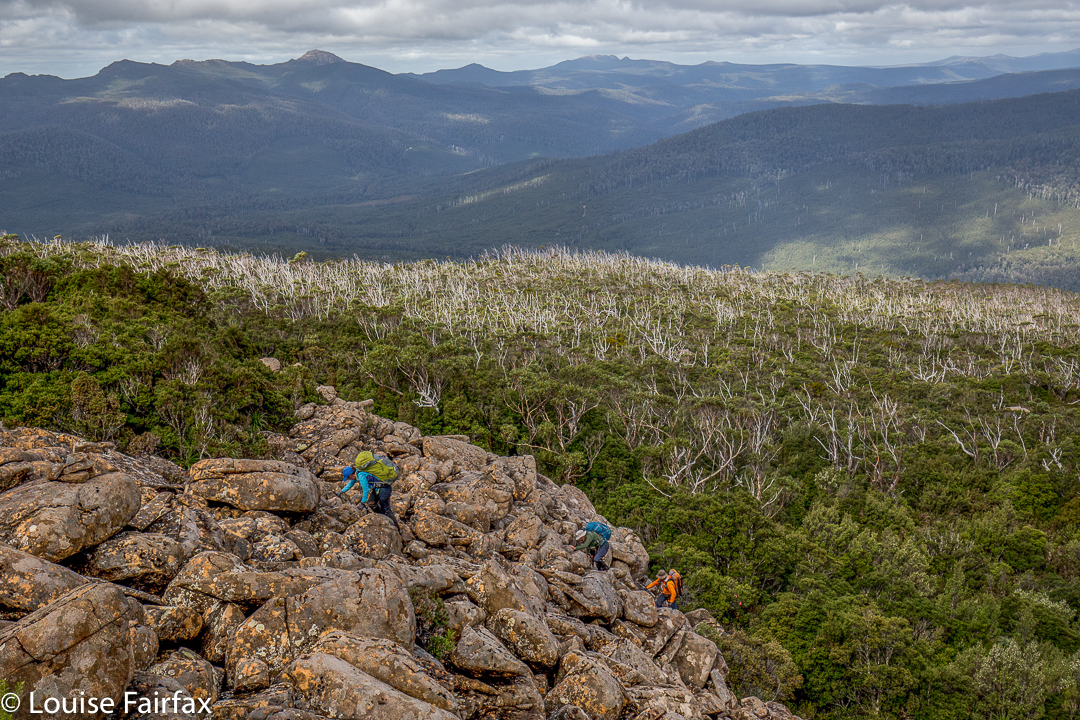
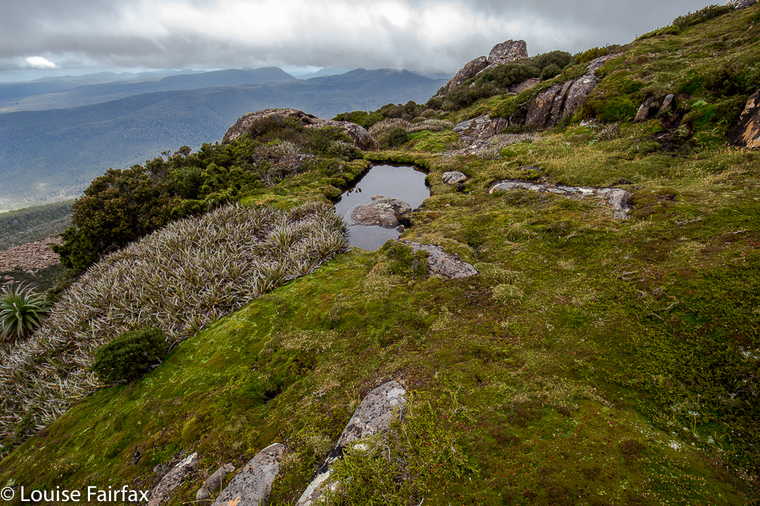
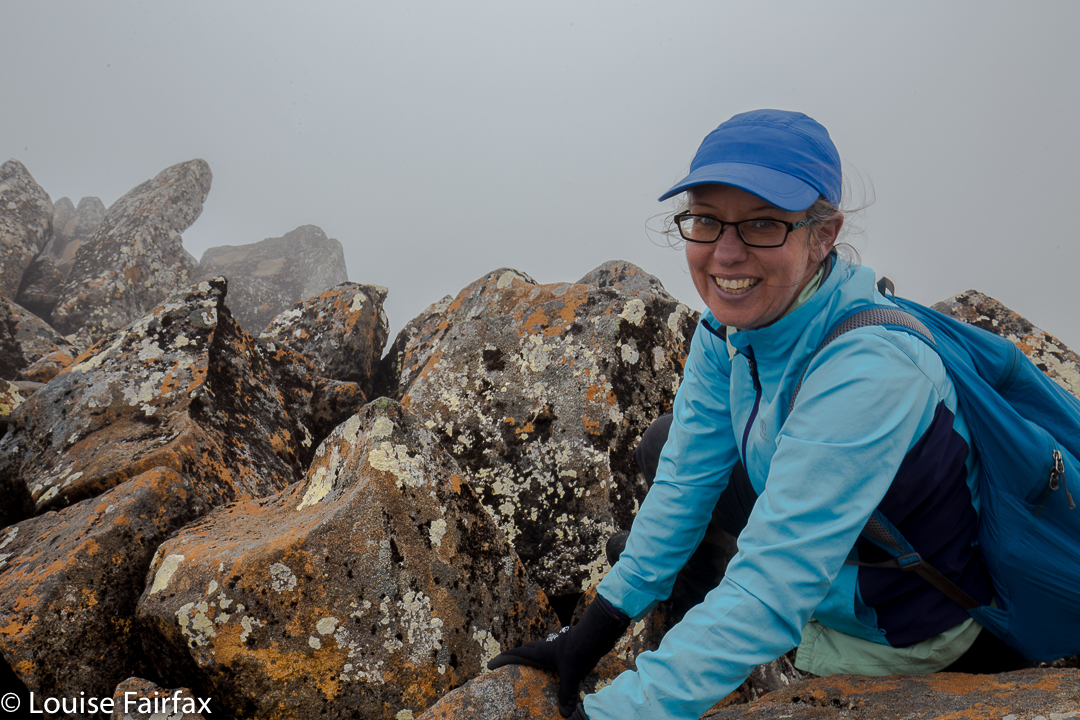
Mt Blackboy is not the most exciting mountain I have climbed, but it’s there on the Peak Baggers’ List, so I wanted to see what it was like. I led a group of people who had never walked offtrack before (club walk) – who didn’t even quite know the meaning of the word – so that was a little disquieting, but they coped fine, and I think it was a great little mountain to introduce people to moving through untracked bushland. Poor Kai is off to buy himself a pair of gaiters! They all agreed that far more coordination and balance are required for that kind of work. Hopefully, they all gained a sense of achievement at attaining their first such summit.

My maps app said the fastest way to Mathinna from Launceston is to go via Fingal, and I decided it was correct, based on how VERY long it took me using back roads last time. Despite holdups due to a car race, as well as roadworks, we were still there in under two hours, as compared with two hours thirty using the “shortcut”.  From Mathinna I headed mostly north, using Dilgers Hill Road to go around the top of Mathinna Falls (in a westerly direction at that time). Once we could clearly see Blackboy, I just headed for it, choosing a road that edged around its eastern side. You could follow this road further than I did, but there was a bit of fallen timber, and I didn’t want to hit a dead end and then have to back a long distance, so I parked early, and we were all happy to get more walking for the drive. Even with the longer walk, and with people who took the bush pretty slowly, we were both up and down in a bit under half an hour (each direction). The roads I was on were not on the map, which is why my blue track appears to start in the middle of nowhere.

Picton 2017 Mar

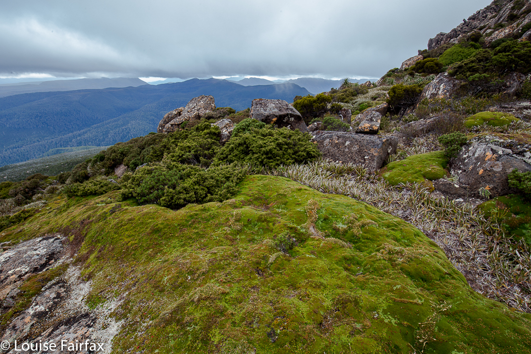
Mt Picton. 31 Mar 2017
 

A “worthy” mountain – like Mt Picton – is like a good book that benefits from multiple readings. Each time you revisit the complexities of such a mountain, there is pleasure in a combination of reacquainting yourself with the aspects you liked the first time, with stimulation resulting from details you hadn’t noticed before, or from changes due to different conditions.


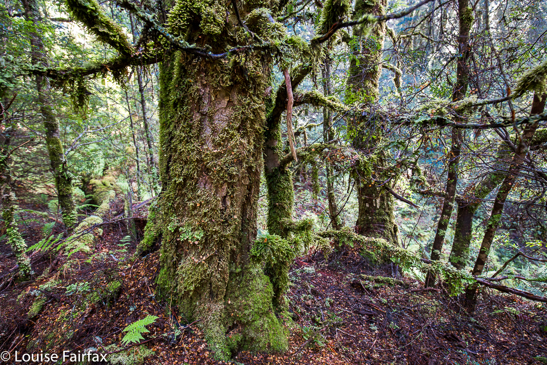
I loved Mt Picton the first time I met it, and have wanted to return ever since. The lush forest held a charm that never ceased to call me back. On this trip, I had intended to do a Picton-Burgess traverse, but had to change my plans due to family obligations. At least I had time to go up and sleep near the summit, so long as I hurried back down on the Saturday.


Carlin. Misty summit.
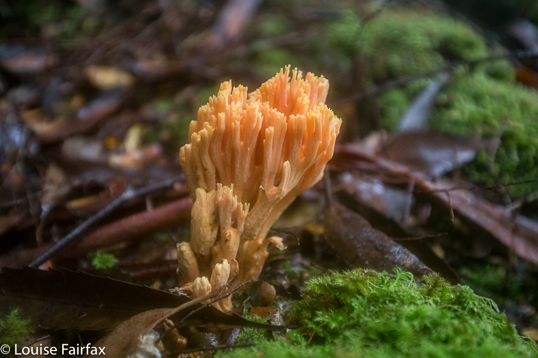
The river at the start was every bit as charming as my memory had it, and the forest as lush and green as I recalled. This time was slightly later in the year than my 2012 visit, which meant that plentiful fungi were about.
Last time, I had really enjoyed camping on a broad spur above Steanes Tarn, and climbing a knob nearby for better views at sunset. This time, I had to content myself with a spot right down near the water, as it was far too gusty and blustery to be any higher. There was no view, as clouds encircled the mountain, and the air had such a bite to it that I retired to my cosy tent before sunset (MOST unusual)!!


At 2 a.m., I was awoken by the sound of pelting rain (so I thought), and was airlifted by a few strong gusts of wind. I became quite glad I had to descend early in the morning. At 6.30 a.m., I was astonished to find a pile of white bordering the outskirts of my trusty tent. The pandani bushes abutting my vestibule had a coating of icy balls. The “pelting rain” had been sago snow. It was still unusually dark and the mist seemed quite thick. The wind had not yet abated. I was too wussy to leave the comfort of my tent, so cooked and ate my porridge, coffee and biscuits half in my sleeping bag, and packed everything from inside my tent, only emerging about one minute before I was ready to actually leave. What a glorious surprise when I poked my head out to find that the environment was white.


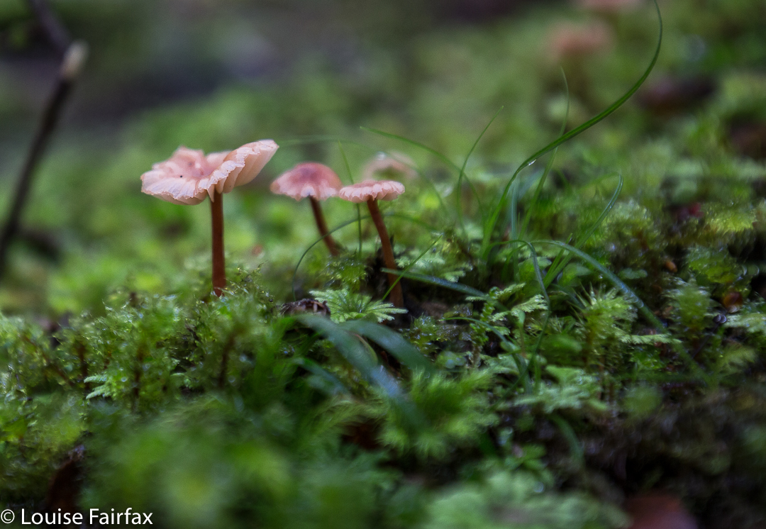
Snow fell as I edged my way carefully down the major boulder scree before entering the forest. The fungi in the moss down lower shone and glistened in their own captured water. Maybe next time I visit Picton I’ll get a full view.

Quaile Falls 2017 Mar


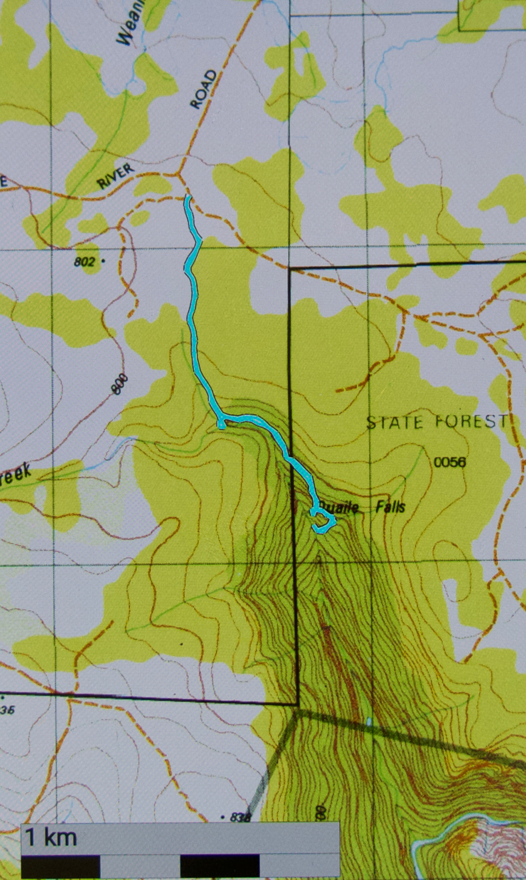
Every time we drove to Cradle Mountain and saw the old wooden sign attached to a tree saying Quaile Falls, I wanted to see what they looked like, and yet, every time, I was repelled by the other, much bigger and louder sign, there in its red and white starkness, announcing that this was Private, and that I should Keep Out. In addition, we were always either in a rush to get to the mountain, or equally anxious to get back home. Quaile Falls didn’t get a look in. Besides, how much time did one need to do this trip? Did one go right past the indignant owner’s house? What lay in store if one went down that road?


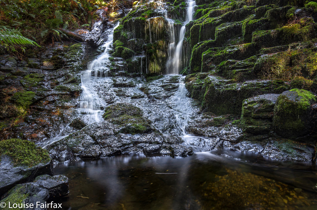
Upper Quaile Falls, encountered after fifteen minutes’ walking.
My curiosity was further ignited by the knowledge that a few friends had recently been there, and I felt it was time to find out how things lay. However, I had long since realised that a “we’re-passing-by-so-we’ll-just-call-in” kind of trip wasn’t going to happen. These falls required their own dedicated journey. And so, last week we set out to visit them in their own right, unaccompanied by any other purpose.
I retrieved how-to-get-there information from the Waterfalls of Tasmania website and off we set. The alluring sign that had attracted me for so many years was gone, but the dirt road remained, on the map northish from the falls themselves (and before the turnoff to Cradle), and leading down to near where the falls are. According to the web, there would be a small parking area (correct) with a sign pointing in the direction  of the falls, and pink tapes to set us on our way (all correct).


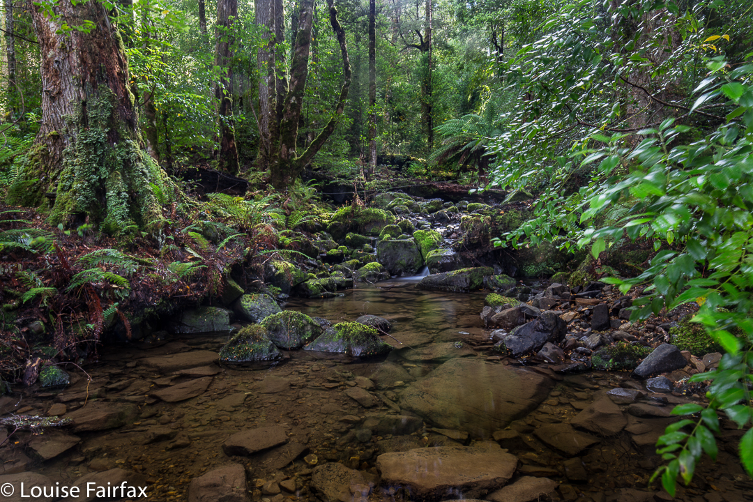
Olivia Creek
From the main Cradle Mountain Road (C13), looking south in the direction of the falls, you would never believe that such lovely myrtle forest was so close at hand. It looks quite barren and dry from the road. The track through the forest felt ancient. I guess it wasn’t private-keep-out in some bygone days of greater generosity; no doubt, before our legal system decided that if I fell on your land it was all your fault for owning it, and not mine for being careless. I can hardly blame the owners for trying to keep us out in the current state of affairs. I would too.


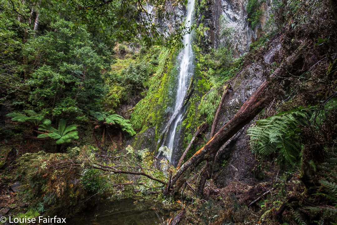
Actual Quaile Falls
As my source said, it was fifteen minutes to where I could first hear the Olivia Creek, and just beyond a creek junction to my right, lay the Upper Quaile Falls, which I actually found to be more attractive than the real ones, which, to be sure, have a huge drop, but the latter are a rather unadorned straight line, and at present, have quite a lot of debris at the bottom. The actual Quaile Falls were a further fifteen minutes from the Upper ones.


The top of the falls was a beautiful forest with gurgling, clear stream cascading over rocks and making lovely pools. I parked my husband there and said I’d be thirty minutes, planning to climb down the cliffs to the bottom. Thirty minutes was a gross underestimation. There was no pad that I could find leading to the base, so I made my way down the very steep slopes, over, around and under massive amounts of fallen timber, sliding down what I hoped I could later climb up, until I got to a spot that I decided was “good enough”. I’d used up too much time doing that much. My husband would be worried. Another tier lay below. That could wait until a day that I had someone with me. That would feel nicer. I took some shots from where I was and called it quits.
We had lunch back near the car at the edge of the forest, and were home in time for me to have a run in the gorge. The trip to Quaile Falls was a great outing, but I hadn’t exactly used up a lot of energy.


(The Road name you can’t quite read is “Dove River Road”)