Zeehan 2017 Mar

Mt Zeehan, Mar 2017. Tarkine trip, day 1.
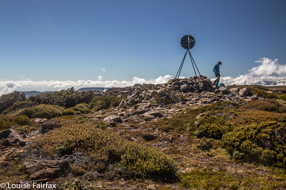
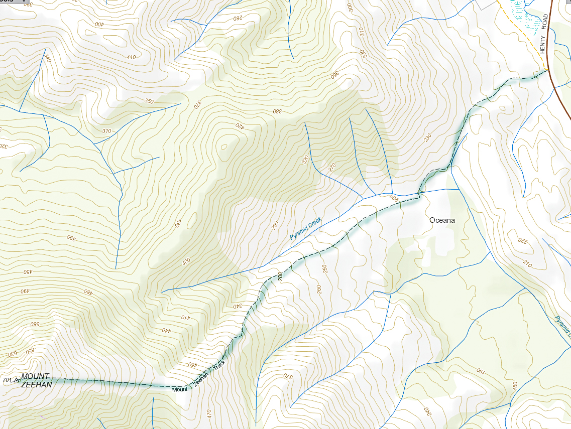
We drove 3 hours 15 mins from Launceston (plus a petrol stop), to reach the start of the Mt Zeehan track, which lies 3 kms south of Zeehan, on the Zeehan-Strahan road. It begins on 4WD track which is on the right (western) side of the road travelling in the direction of Strahan. After that quite long drive, I was itching to do the enticing-looking climb. The 4WD track that one follows – on foot; it is pretty rough – continues as far as a kind of dug-up, worked-over area, after which it morphs into a narrow path. Just before a cleared area, which could be confusing due to all the mess of “roads” and worked-over ground, the “road” you have been following forks. There is, at this stage of writing, a somewhat faded pink tape on the left of this Y. Take the right-hand option, into the mess and out the other side. Your path is the one heading for the mountain, which (on a fine day) is very clearly visible in front of you, slightly right.
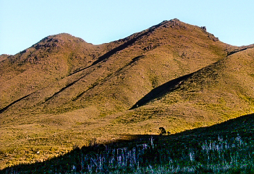

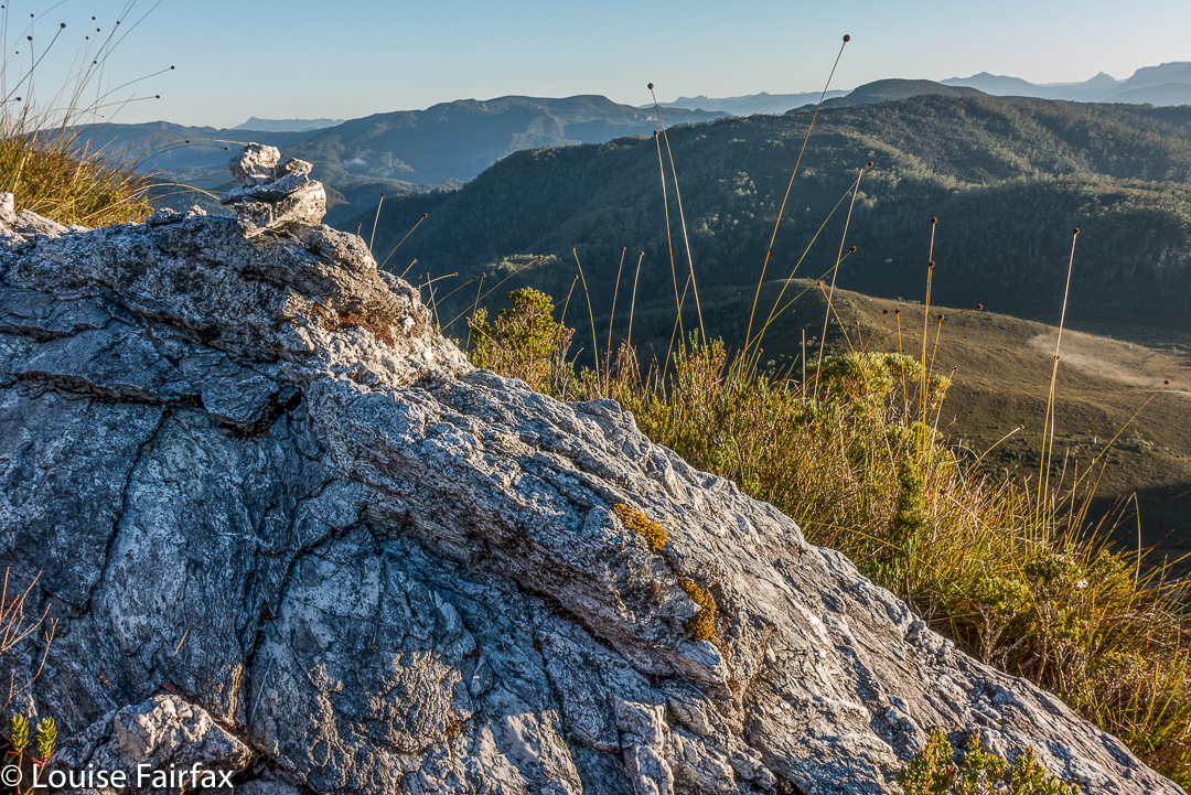
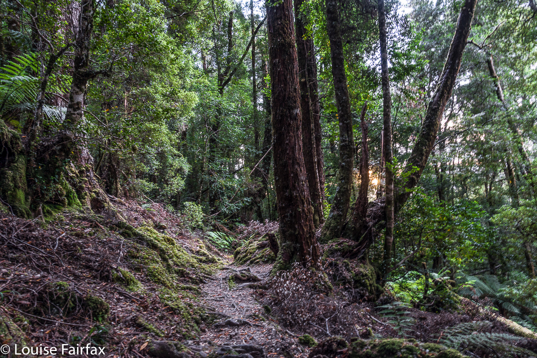
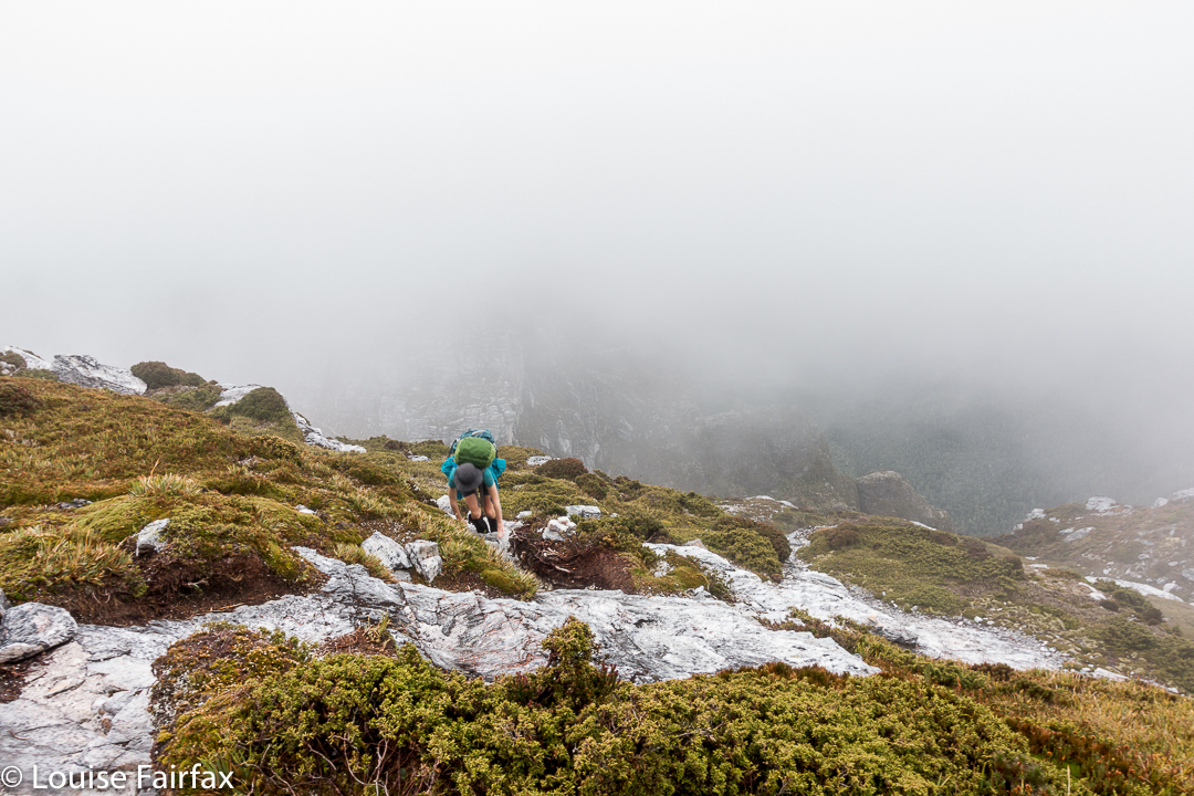
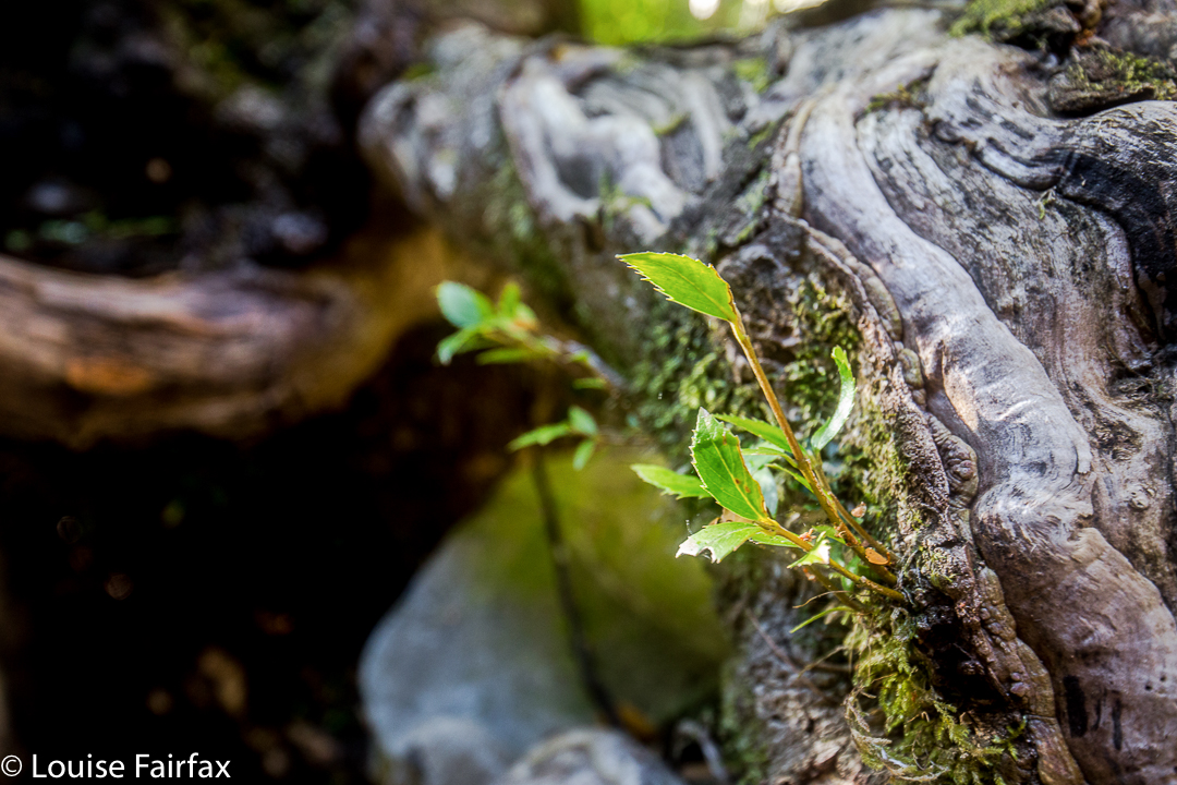
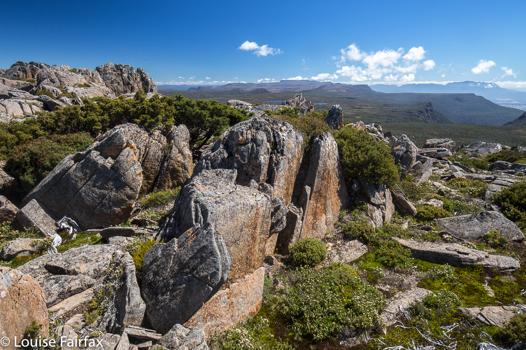
Once the narrow track begins, the climb is quite satisfyingly steep (for those who love a good climb), through – as the picture above indicates – fairly open ground, until a saddle is reached. Although it is, indeed, fairly open, my husband succeeded in “mislaying” the track about a third of the way up. He just sat where he was and waited. Because it was so open, I could see his bright red T-shirt from near the top, so knew where to start looking for him. He knew I’d rescue him, so ate his lunch and dreamed a bit.
If he hadn’t lost the track there, he would have lost it in the saddle, for sure, as the flat area there is rather indistinct in terms of the track, and the vegetation gets a little taller. I’m glad he got mislaid in an area in which it was easy to spot him. Meanwhile, I was having fun getting in a bit of a workout, so just went up and down fairly quickly in order to both have some decent exercise for the day, and to return to him. The top was very, very windy, and most unpleasant – not worth a photo at all, the sea just being a hazy blur on this particular day. I’m sure that on other days, the vista would be marvellous. It never pays to climb a mountain in midday glare. I was the servant of another agenda on this day, so had no choice.
In its current state, I would not recommend this track for families, which is sad, as about 1-2 hours of secateur work would make it far more user friendly. Without that, however, any child under about twelve would have bush in its face for most of the second half of the climb, as the bushes have grown together over the track, and are at about the height of a primary school child. One climbs 600 ms in around 3kms (one way), so this is definitely a steep track.
The three hours return which is recommended is more than likely to be a good estimate for most people.
Philps Peak 2017 Mar


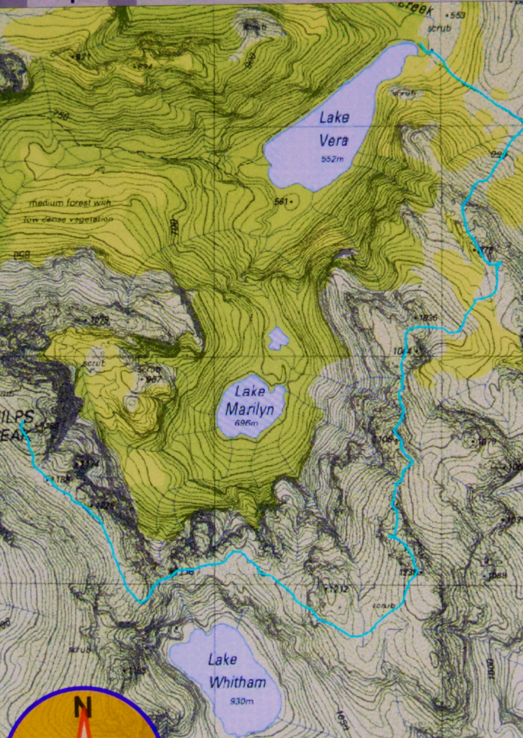
The story of Philps Peak begins as Day 4 of our Clytemnestra trip (http://www.natureloverswalks.com/clytemnestra/). On day 3, we had planned to climb to a beautiful spot near the summit of Agamemnon, but, most uncharacteristically for me, I had argued that the day was so stinking hot that it would take us hours to lug our packs up there, and that there would be no water for a day and a half if we went there, so we’d be better camping at the hut (Vera) and doing the climb as a day walk on the morrow. Angela agreed, but not with enthusiasm.


This little cairn marks the top of the first chute one climbs up on the way to the first hop, Agamemnon.
We chose a really beautiful camping spot – that is, the scenery was nothing particularly special, but the spot was secluded, set in forest with enough shade to cool but not enough to be dark. Birds and paddymelons visited us. It was just a very, very peaceful afternoon. Past ranger, Terry Reid, had donated a few bushwalking magazines to the hut, so I browsed through them, sitting in the forest on one of the many log-seats available, and organised my pack for the next day and chatted to the new people who later arrived at the hut and came past our idyll on their way to have a swim. I also had a lovely walk going back to the stream where I had noted that there was a waterfall that could perhaps be reached with a tiny bit of an offtrack detour. I was joined in this by new friend, Kent from Queensland, who also liked waterfalls and fungi.


We call these rocks The Four Ugly Sisters. They lack a name on the map. One heads to the left of them on the approach side.
On summit day, we set out nice and early to get in as much distance as possible before the real heat dominated the day. The light was superb, and we had about two hours where the air felt fresh and the light was clear before heat and glare took control. This means we got to the summit of Agamemnon – and even beyond, to where you first have to lose some height – in pleasant conditions.


Summit view. That’s Frenchmans Cap and Clytemnestra (far left) dominating the scene.
In between Agamemnon and Philps, in a saddle before you climb up onto the main ridge that leads to Philps, we found a truly nasty bit of scrub, where the forest was dense and unbendable and a pain to get through. At least the scoparia wasn’t scratchy (too tall for that), but it sure resisted our attempts to push out to the other side. This hiccup didn’t last too long, however, and we have both endured much worse than that, so it hardly marred the day irrevocably, even it did detract from perfection. There must be a nicer way through that stuff, but we didn’t find it in either direction. It occupied maybe thirty minutes of our time each way (guesstimate – I didn’t look at my watch; it felt like that amount of time, but maybe it was less).


Frenchmans Cap in all its glory from Philps. What a grand hunk of rock.
Once we’d negotiated that obstacle, there were no more difficulties. We climbed up a chute to the high ground of the final ridge, and walked along its pleasantly open line to the final summit climb, which was not challenging. The sun was right in my eyes every time I looked up to try to see where the best line might be. That was perhaps the most difficult thing we encountered.


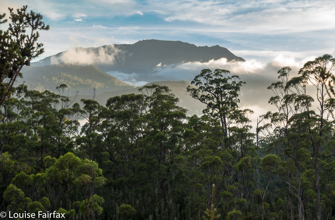
Forest next day on the way out.
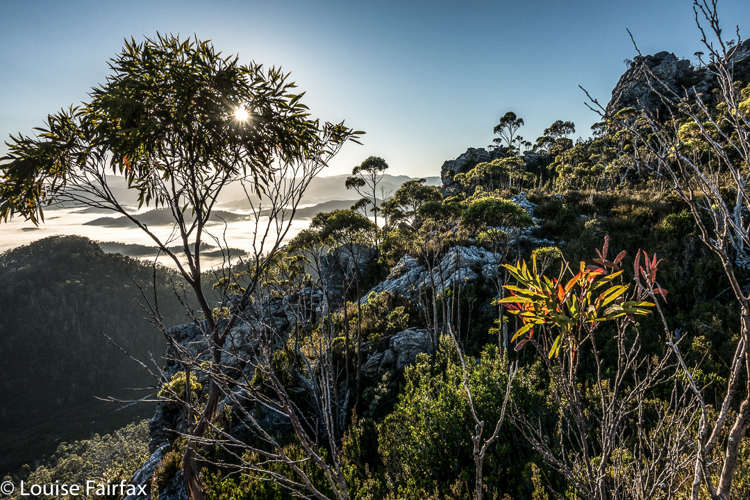
On top, the view was amazing. I couldn’t believe how far visibility extended. There was Barn Bluff, days and days away, and Ossa, Pelion West and East, High Dome, Byron, Cuvier, Olympus. So many mountains normally not seen together, separated by many days walking if you are on foot. It was grand.
We tried for a better line through the junk on the way back (of course), but I think this one was even worse. I got so entrenched in scoparia limbs that I had to take my pack off and push it along the ground in front of me while I crawled under the unbendable tangle of wood. I thought for a tiny while that maybe I was going to spend the rest of my shortened life right here. No direction offered the possibility of movement.


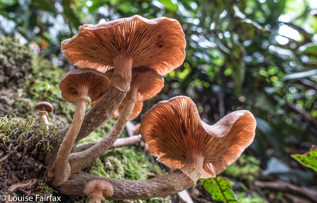
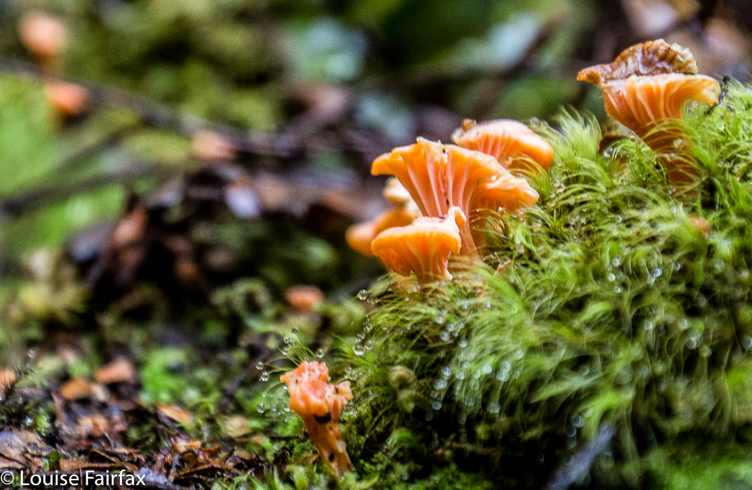
Yes, a few courageous (or ignorant / mistaken) fungi are out already, having heard that it’s autumn and not being aware that summer has just arrived.
Apart from that insult, the way home was uneventful. I was looking forward to a swim (yes, this is Louise writing) and ridding myself of these stinking clothes full of forest debris that had fallen down my neck as I tried to push a path through the bosky barricade. In the end, of course, I wussed out. I sat beside the little beach in my undies, staring at the cool waters, but letting the gentle breeze that caressed my bare skin do the job of cooling me down in the dense shade of that spot. It felt like a swim, but didn’t have the inconvenience of wet gear.

Clytemnestra 2017 Mar


Beautiful morning on day 1 to begin our mission.
When I first heard that to climb Clytemnestra one needed to drop over the edge of Frenchmans Cap, I was filled with horror. Do you know the cliffs that shape the Frenchman, my reader? They seem formidable from any distance. However, the notion of climbing all the Abels had been planted in my brain by my former climbing partner, and had taken root there, and if I wanted to achieve that goal (still not sure, actually), then I needed to conquer any misapprehensions I felt with regard to dropping off the Frog’s hat.


Climbing Frenchmans
Off Angela and I set on the start of this little mission, past Vera Hut too early for lunch, which we had upstream. In case you’re also there in a dry time of year, I’ll tell you that the last water after leaving Vera is about 45 mins up the track, where it crosses the creek for the final time. We arrived at Tahune Hut  mid-afternoon in plenty of time to choose a scenic spot for out tents, to organise our gear, and to go swimming (Angela) or to chat with others (Louise). I must have sweated a lot, as I needed a copious and salty afternoon tea, staring out at mountains reflected in the amber waters of the lake.


Our plan for day 2 of our venture was to set out at 7 a.m., but at 6 the continuing sound of heavier-than-we-liked rain had us push back the time to 8, … and then to cancel the idea of climbing altogether. However, at 10 it looked as though it might be clearing, so we decided to give it a go. Maybe this was a recce, maybe this was a climb. Time would tell. At least it was some exercise for the day.


Getting near our goal by this stage
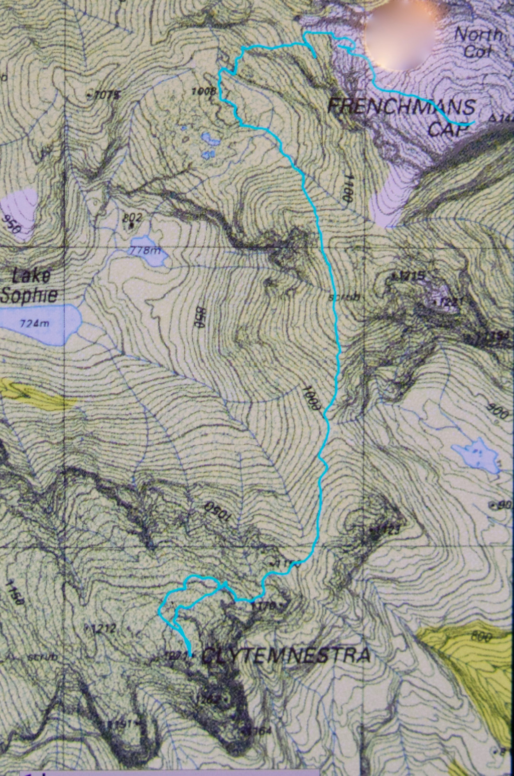
We were on top by 11, enshrouded in thick mist, but decided to continue this recce business a bit further, and to try, at the very least, to find where we’d drop off the cliffs on the morrow, perhaps saving ourselves time then. We attempted two chutes that ended abruptly in dead ends (excuse the pun), but on the third attempt, managed to negotiate our way down the slippery rock with success, which meant we reached a knoll near the two tarns at the mountain’s base, 1 hr 10 mins after leaving the summit. I was still in recce mode. Angela didn’t comment. On we pushed, now proceeding up the lightly bushed ridge that connected with the main Frenchman-Clytemnestra one, and then contouring around its belly to avoid unnecessary climb. When we rounded that bulge the mist cleared enough to give us a brief glimpse of our grail – way, way closer than I believed possible. Angela was now excited and announced that this was no longer a recce. We were climbing this thing and now. I would continue forward, but reserved judgement on the certainty of success.


The cliffs of Frenchmans, teasing us while we had lunch on Clytemnestra
Into the final saddle, with only some cliffs between us and the summit cairn, I still refused to believe. Up, right, up, right, we climbed, walked, climbed, walked, until, truly amazing: there, fifty metres in front of me was the summit cairn. Only then did I allow myself to believe we were really going to do it. Ceremoniously we approached and touched together.


The route back to Frenchmans. We thought the mist was clearing!
We had lunch on top, watching the mist swirling around us, every now and then allowing a teasing half-glimpse of the silhouette of Frenchmans. At this moment, when I decided to consult my phone which had been tracking our route, I discovered that the battery was basically dead and I couldn’t even see the screen. Our homeward route was thus concealed, but, no worries, we have memories. Off we set.


We have to go over Frenchmans (back) before we drop down to our tents.
There were no mishaps until it came time to choose which chute we needed to use to climb back up onto the main massif. At that time, the mist was particularly thick: visibility was zilch, and it felt like hours later than it actually was, with so little light penetrating the thick clouds. I did not like this at all. It felt like these conditions were set in for the remainder of the day, and we would never be offered a glimpse of a possible route. We were in a nasty cliff maze with no perceptible way out.


Eerie light as the sun tries to break through (before giving up again).
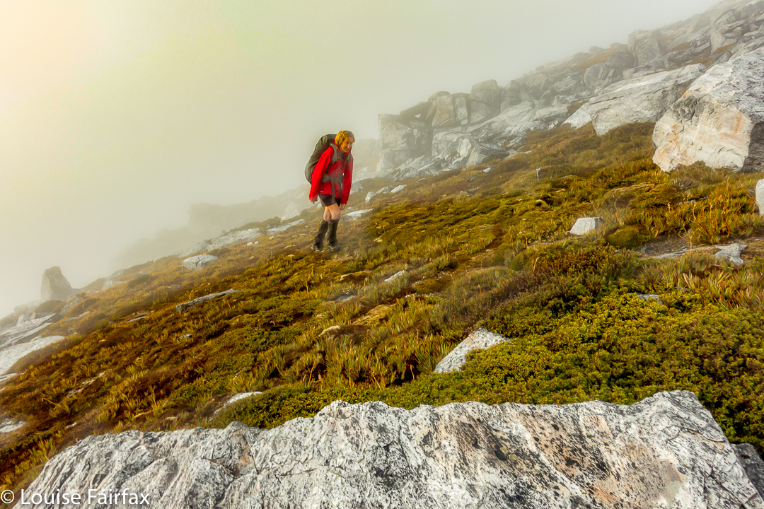
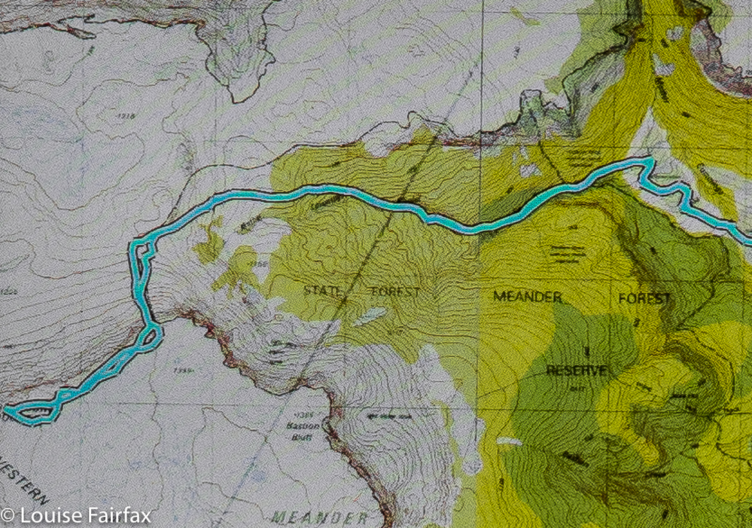
Luckily, before we left home, I had emailed Hobart Walking Club and received a gpx route, which I had transferred to my phone, and forwarded to Angela, who had also downloaded it. Now was the moment to consult this route on the phone that still worked. We could see the other club-member’s track, and our position relative to it, and note that we needed to contour a bit to the east before we would intercept it, and then follow it due north for about 150 ms, when, with luck, an attractive chute should reveal itself. It did. The feeling of relief as we emerged on top, and I knew that we just had to keep climbing – no more chutes, no more difficulties – was enormous. As we climbed higher, safe and sound, mission successful, a kind of golden circle where the sun should be coloured the mist and lent the landscape a temporarily yellowed hew. Everlasting daisies, in funny, closed cups, shone silver in the tinted light.

East Coast 2017 i Feb

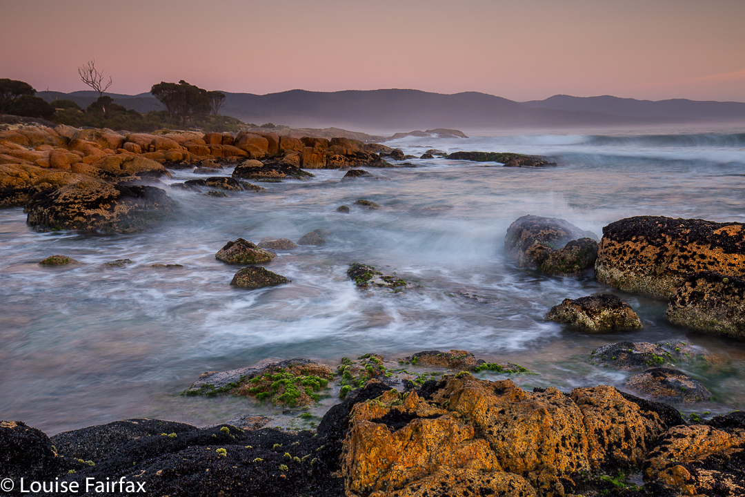
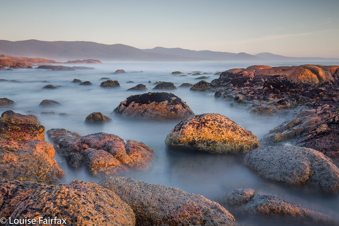
Tasmania’s East Coast: a place of healing. Feb 2017

My brother-in-law, Ken, is on the phone, wanting to speak to Bruce. I ask, to clarify, “Where are you expecting us to be?”
“Aahh, Intensive care.”
I feel a little guilty, because we are at the beach. My husband was let out of the ICU yesterday afternoon. I think I should justify my actions – my apparent recklessness and irresponsibility – so I begin: ” Do you know how, in books set in the eighteen- and nineteen-hundreds, patients with lung problems were sent to the coast for fresh sea air?”
Surely this casts my action in a good light.
“Yeees.”


“Well, Bruce was released from the ICU and hospital late yesterday, so I packed our bags and drove us down here today. I felt a great need to be by the ocean.”
I nervously await his response. Judgement … or approval?
He was delighted. His voice was soft and warm, the vowels drawn out as he took in what I had said.
“Wow. I really can’t think of a nicer place to be to recover after you’ve been in hospital. He’ll get better there, for sure. Can you see the sea from where you are?”
“Yep, and we’re about to have a short walk along the sand and maybe even a paddle if the water’s warm enough.” (It was).


And thus my husband begins his convalescence. And, as Ken is a lawyer, I guess I’m not going to be sued for lack of appropriate care of my charge. It was a glorious day on which to be alive, and to celebrate life to the sound of crashing waves, the feel of white sand under bare feet, the smell of salt in the air, the sight of deep blue, and the sense of joie de vivre that being on the beach brings.


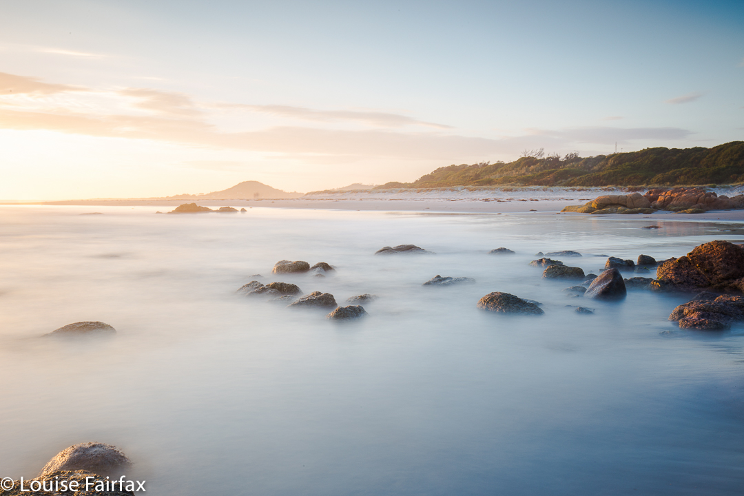
That evening, I was shooting long-exposure sunsets on a little beach, and quite an audience amassed. They were all very interested in what was on my screen at the end of each shot, and, as this is inherently interesting, I didn’t question their gathering, although the number was rather surprising. I reasoned that it was a beautiful evenening, but that, there not being much else on, watching an image flash on a screen every couple of minutes was about as good as it got. When I left, one of these admirers asked me if this was, indeed, the beach where all the penguins landed. Ohhh. Let down. They were there for penguins, and I just happened to be the avant-spectacle entertainment. I needed to get Bruce out of the night air, so wished them good luck and left.


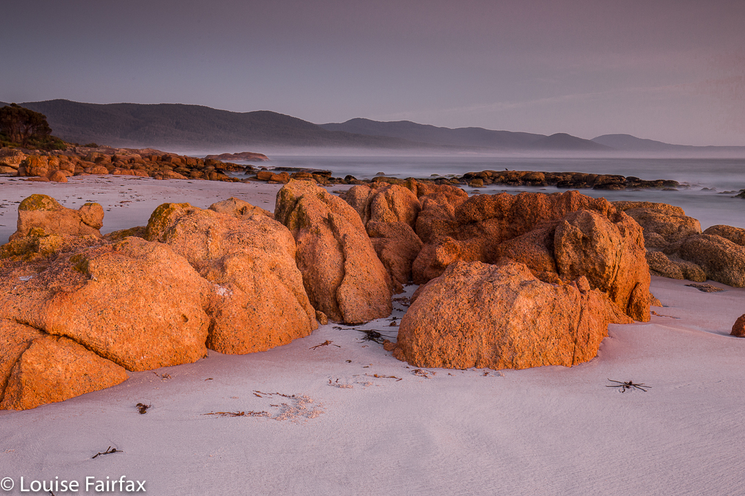
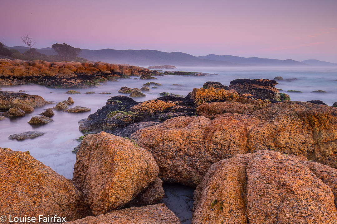
Next morning, I arose a good hour before dawn to get into position in the dark for my normal at-the-beach pre-dawn shoot, where I love to take very long exposure shots in the dark. Having the sensor exposed for several minutes enables it to capture the burgeoning light that it can register, but the eye cannot yet quite see. I had forgotten all about the penguins. I stood there, a rock, immobile for my shoot. While I was waiting for the first light of dawn, they began to waddle past, some about five centimetres from my bare toes, unaware that I was an animate object. This experience of being part of their environment was far more special than the dawn colours I captured (especially as I am having problems with my overly skinny tripod at present). Penguins observed from a cheap fake-wood stage strutting on grass and lit by false lighting just do nothing for me, but penguins nearly treading on my toes in the dark, creatures of nature together as they traverse the sand on their way to the sea, that does it for me completely. The magic of that morning will remain with me for the rest of my life.

Ironstone via Smoko Creek 2017 Feb

Mt Ironstone via Smoko Creek, Feb 2017.


There are myriad different reasons for needing to get into the wilderness, but a large number of us seem to feel this urge to some extent or other, whatever our driving force or motivation. I have a very strong and oft repeated need, and luckily, it is shared by my bushwalking buddy and good friend, Angela.


This summer has been filled with a large number of long expeditions, sometimes involving both of us together, and yet we hadn’t got out, just as a duo, to explore something new, climb something different – seulement nous deux – for several months. Angela knew that my days in the ICU watching over my husband had left me feeling cooped up and agitated, and suggested a daywalk this weekend. What a wonderful idea. I needed the wilderness; I didn’t just want it. Mt Ironstone was the solution.


I last climbed Mt Ironstone in 1988 (with skis on my back, that got tangled in almost every myrtle tree), reaching the summit on a glide. I wanted to return under conditions that offered something to see, and this seemed like the perfect opportunity. The last time we’d used Syds track; Angela too. I had decided that when I returned to take photos, it should be via Smoko Creek. Luckily, Angela had also not tried that route, so it was settled. Now we had something new to do.


We parked near the collapsed bridge and proceeded along the ex road (now picturesque track) to the former parking area, reaching it in 20 minutes. This area offers a turn to the right to Mother Cummings Peak and Smoko Falls, and one to the left to Chasm Falls and Mt Ironstone. Funnily, we chose left. In a further 22 minutes, our narrow pad with metal markers and sometimes pink tape diverged, with one route (left) leading down to the creek, and another (right) up the spur. We took the spur route (neither direction was labelled) and continued climbing, soon crossing Smoko Creek by a log with wires to stop us plummeting to our combined deaths. I would not take children near this log unless they were exceptionally responsible.


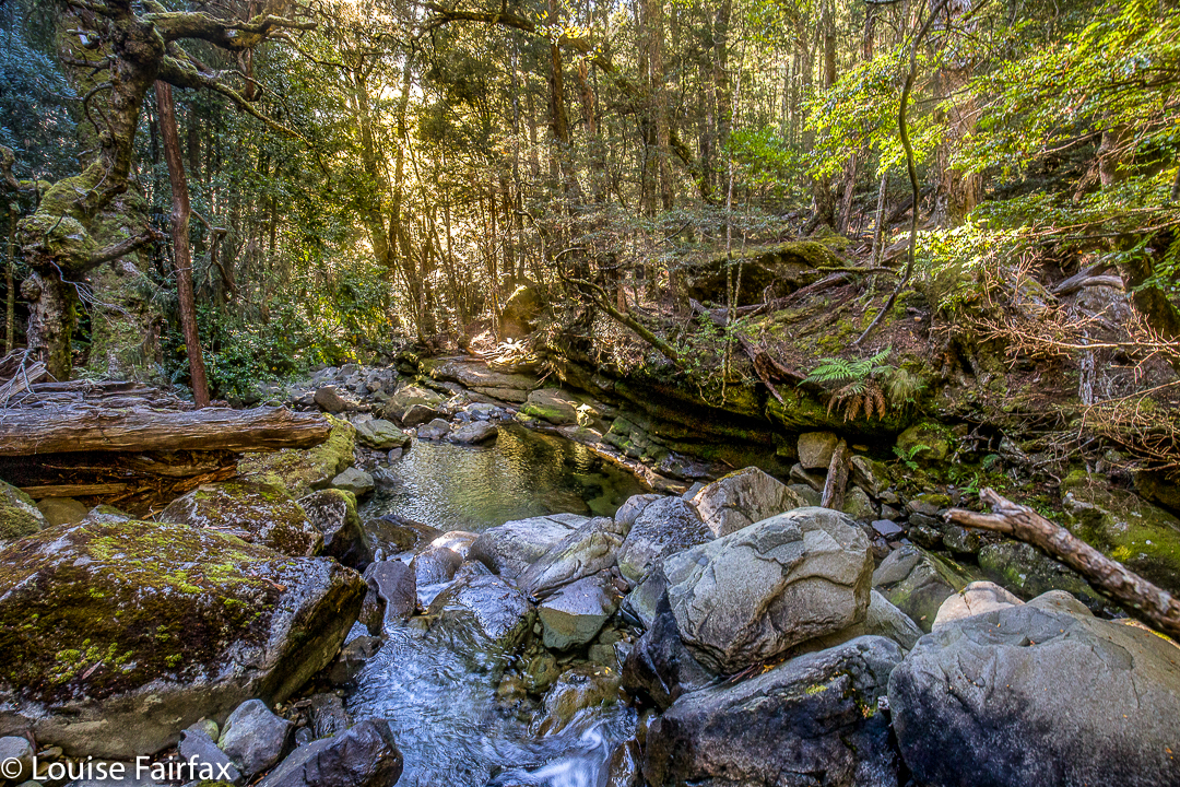
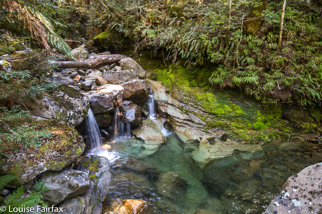
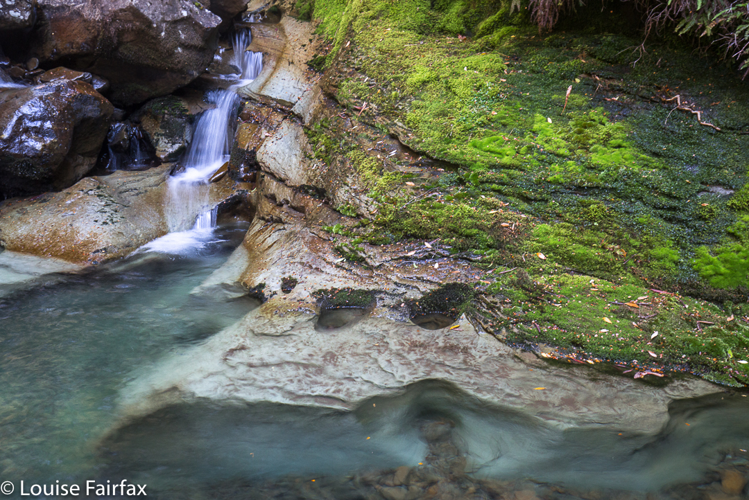
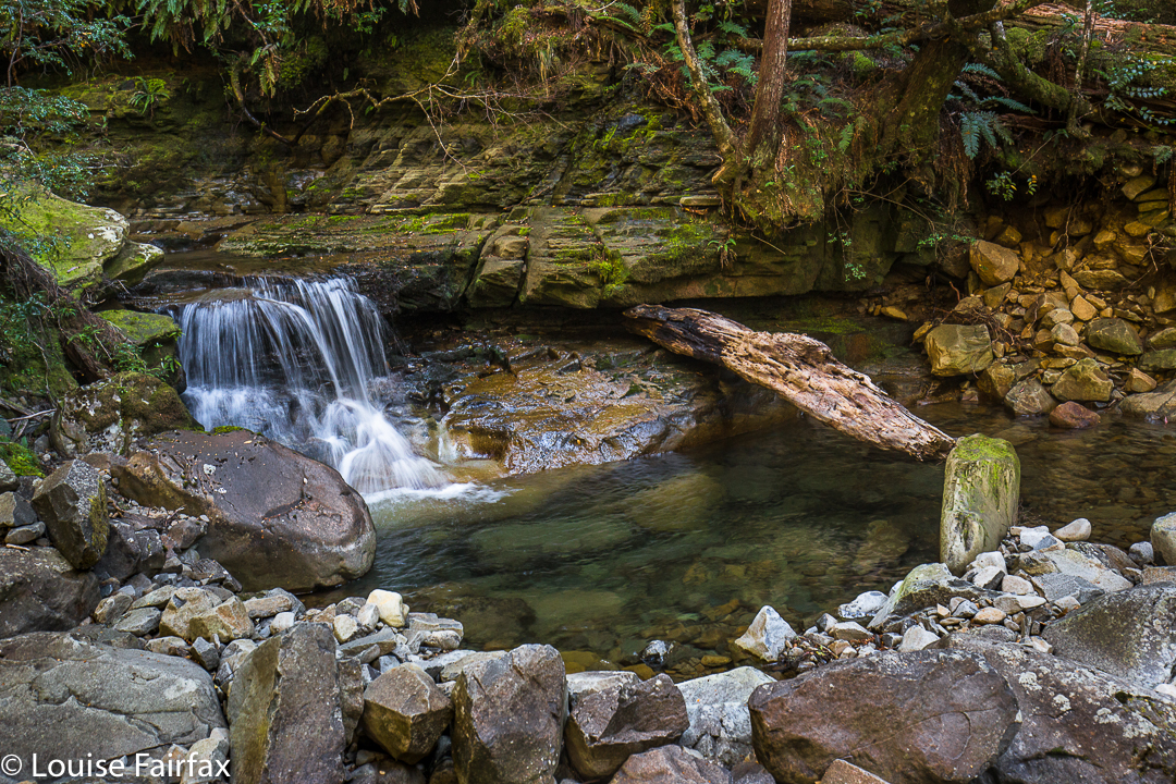
The forest had already been wonderful, but from here on its perfection seemed to reach new heights. If you want to believe in fairies and goblins and elves and ents, just come here and witness the weeping King Billy Pines and lush myrtles, the moss, clear pools and abundant small cascades. I was desperate to photograph some of these scenes, but we were intent on reaching the summit. Photos (mainly for me) and swimming in one of those holes (Angela) could come later. I eyed up scenes I wanted to shoot, and Angela tried to choose the perfect swimming hole as we climbed, past mossy caves and ledges, exclaiming about the beauty as we rose.


Eventually we emerged from this wonderland into drier bush, but it didn’t last too long. At first the track was still discernible, albeit with difficulty, but later – in the flatter area near a saddle-zone – it became downright vague, so we just followed our noses to the scree area, and climbed up it to the plateau on top. Once there, it took us about half an hour, at a guess, to reach the summit. Again, it was a “choose your own path” area. We were at the summit three and a quarter hours after crossing the river at the start. Oddly, perhaps, the downhill journey took us ten minutes longer than the climb – but maybe that’s just because we both love climbing, so proceed somewhat excitedly upwards, but are never in any particular hurry to leave our idyll. The extra time to come down does not include the time for photography, swimming, or for gazing while we had a snack beside a pool.


We pulled out of the carpark at 5pm, thus timetabled out of our usual cake and coffee at the Raspberry Farm, which is sad, but it will be there for next time, and the forest and mountain had had a stronger call on our attention.