Rocky Cape National Park 2017 Mar

Rocky Cape National Park 2017 Mar
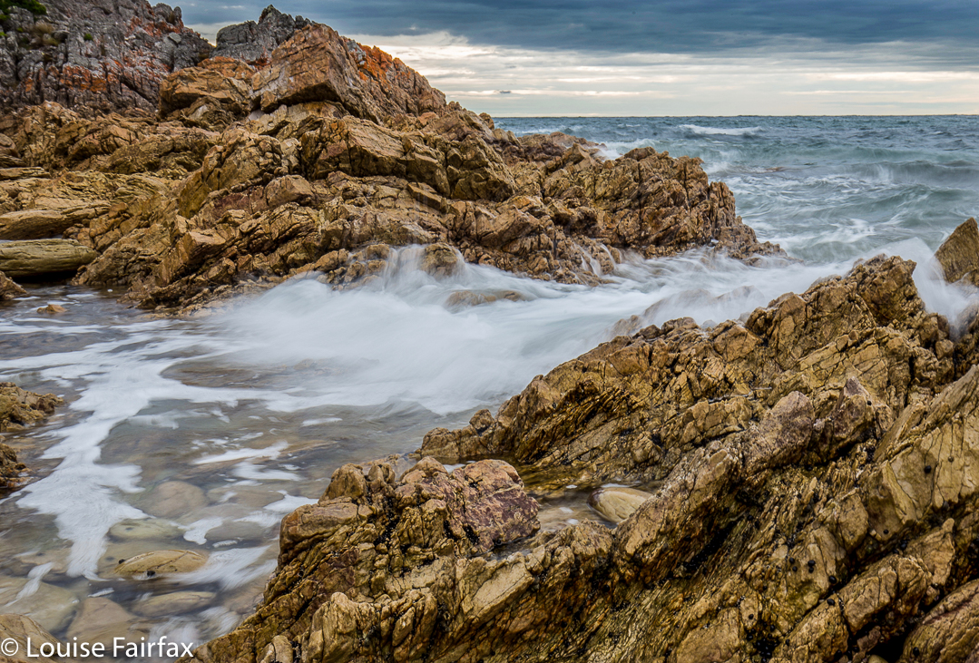
So near and yet so far … it is perhaps a mini travesty that we have lived in north Tasmania for as long as we have done, and yet have never put a foot inside Rocky Cape National Park. I must say, the fact that camping is not permitted there has had a huge amount to do with our absence. I am not a day-tripper sort of person.
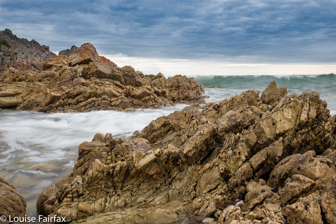
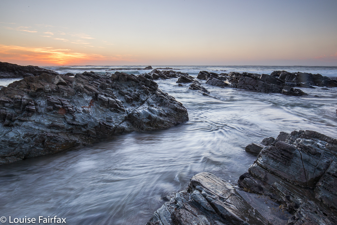
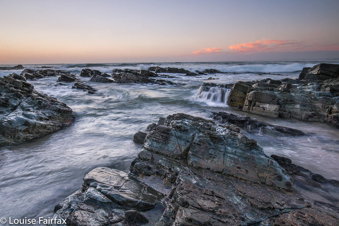
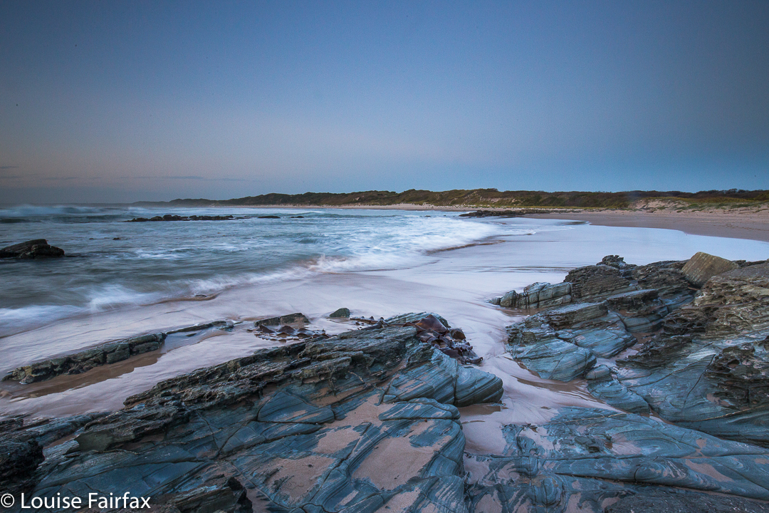
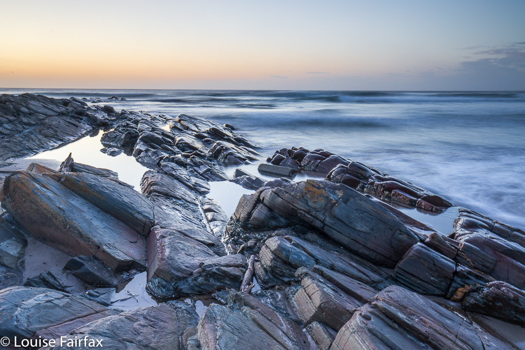
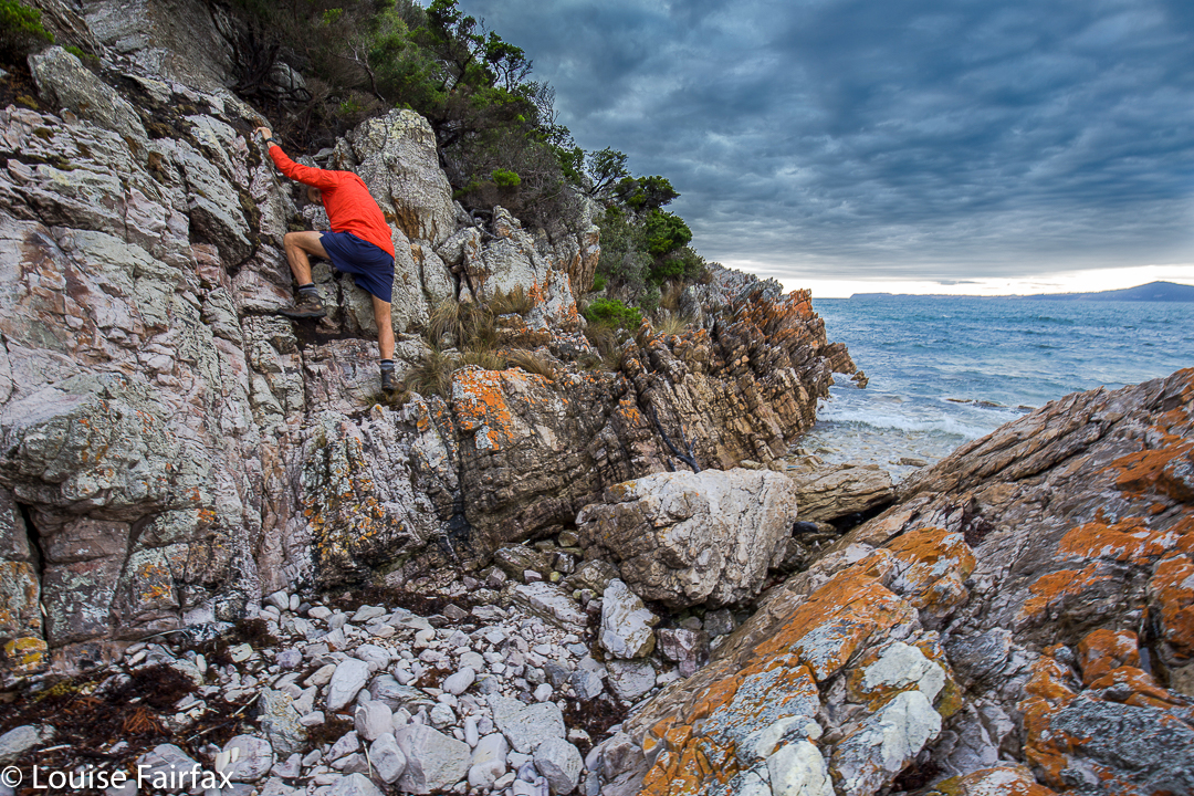
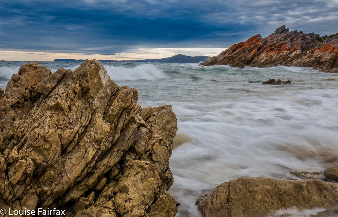
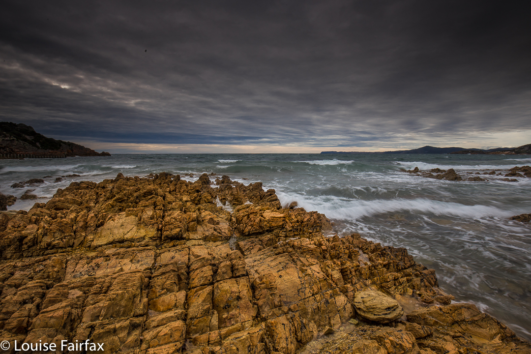
However, on the final morning of our Tarkine adventure (on the fifth and final day), our leader had scheduled a short visit to this spot. I was most curious to see what I had been missing out on all these years. We drove in as far as we could before a final turnoff, when we chose right, following a sign that pointed to the beach, rather than left to boat launches, a day picnic area, and other such wonders. From our parking spot, we had a lovely hour-long wander around the coast, sometimes bushbashing (there was no track here) and other times following the rocky shore. I enjoyed the little coves of turbulent water, especially as the sky was still steely grey after the rain of the previous night.
After the others had departed on the way back to Hobart, we had a quick explore of the left-hand fork that we had rejected earlier. Here, I was amazed and not entirely pleased to find houses in a national park. I can understand that if they were there first, this creates an obvious problem. I did not, however, appreciate the fact that they were there with their dogs, whilst we were not only not allowed to camp, but were not even allowed to let our car wheels go past a certain turnoff, and yet their dogs roamed the waters of the nearest beach. When is a National Park not a National Park? Perhaps here. There seemed to be a reversal of expected values. I have nothing against dogs on beaches. My dog loves beaches. But when dogs are allowed but I am restricted, now that I object to. We didn’t stay long at Rocky Cape. One day I will disobey these inconsistent instructions and camp here to see early morning light at this place.
Balfour Track, Trowutta Arch 2017 Mar

Balfour Track and Trowutta Arch, Tarkine Day 4.


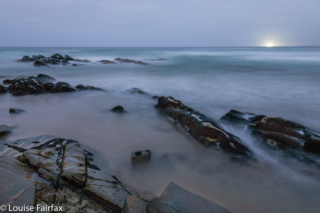
Sadly, we turned our back on the coast – but not before I’d got up in the dark and wended my way down to the ocean to capture moonset, long before the sun had risen. The shot here is a very long exposure.


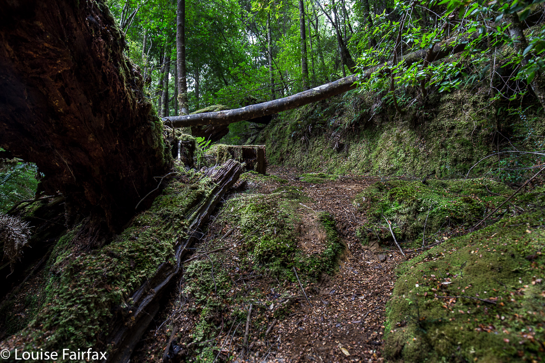
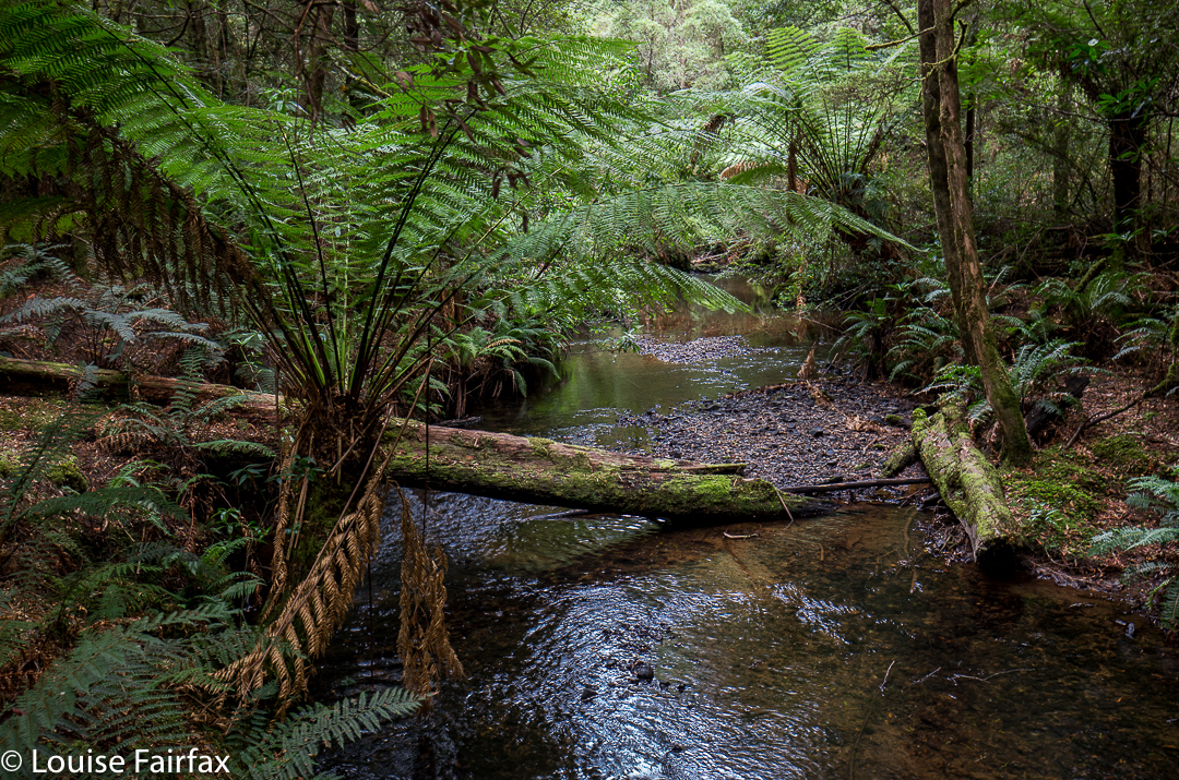
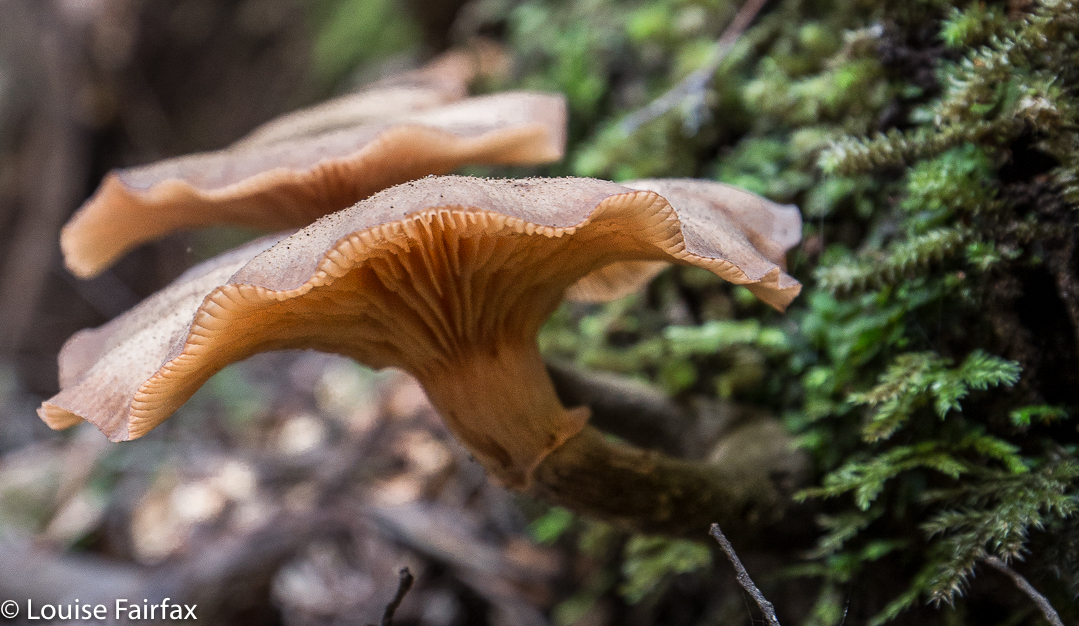
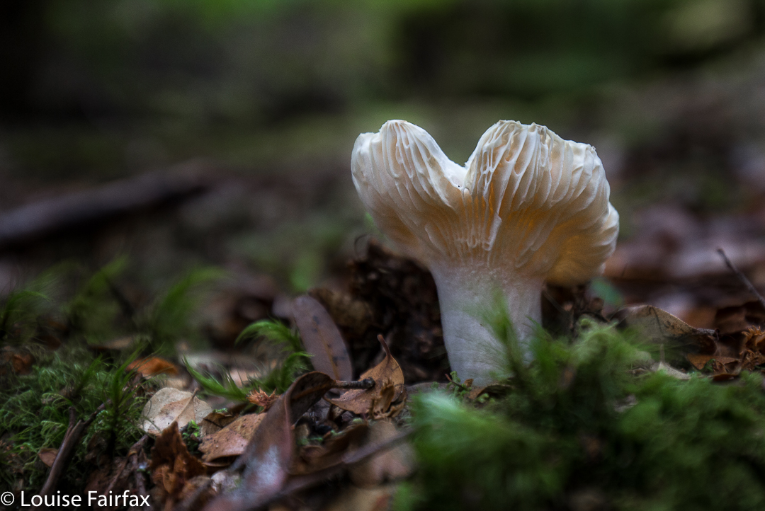
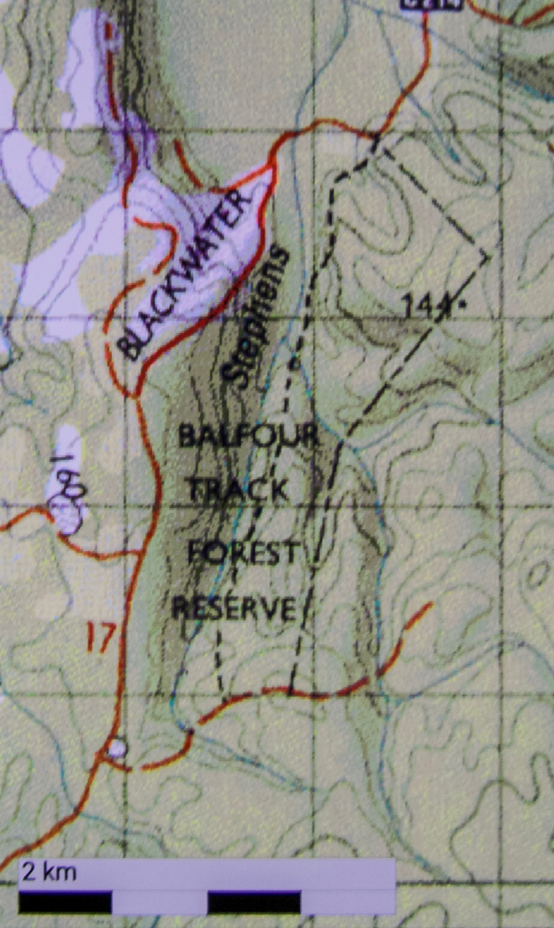
To reach our goal, we headed from the coast on the road running east from Couta Rocks – the C214 – until signs directed us to our destination. The track runs parallel to the road, rejoining it after about an hour’s walking (plus any stops you might have). Our group did an out and back route, probably taking us the three hours recommended. The extra half hour in each direction beyond walking was used in taking copious photos of fungi and forest, and in snack time beside the beautiful Stephens Rivulet.


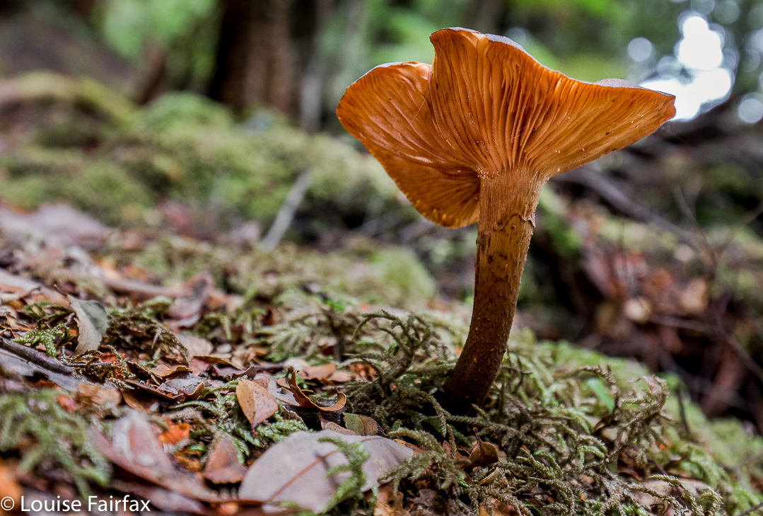
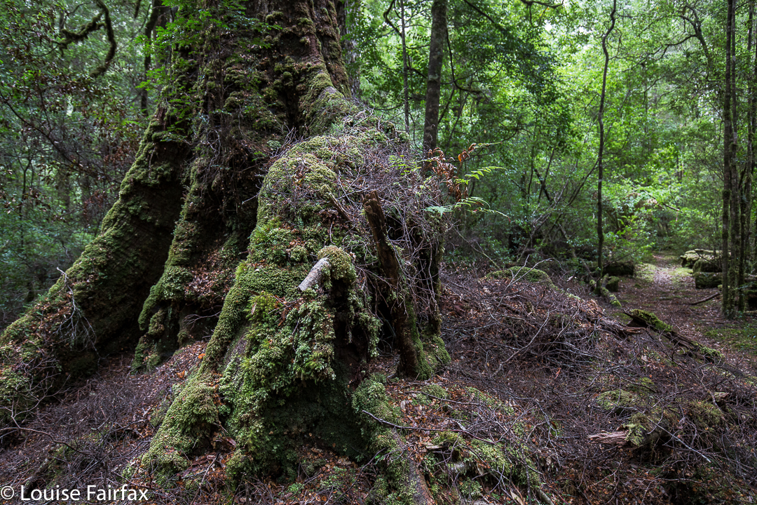
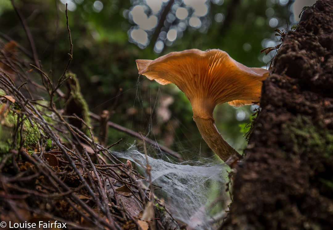
Of all the tracks we walked this trip, this one was my favourite. The path was narrow and non-invasive; the forest was lush and green with plentiful tree ferns and moss. I thought it would be way too dry and warm for fungi, and that there would not be much to photograph, but I was mistaken. The quaint, tiny ones were not yet out, but there were still plenty of others. Luckily for me, the other walkers had gone on ahead, so I was supposedly giving chase. However, I ended up rolling in dirt every ten paces or so at the discovery of each new delightful specimen. The fact that the others were ahead meant I didn’t have to feel guilty about holding anyone up. If and when all these marvellous sights stopped, I could keep my promise about giving chase, and if not, I’d just meet them on the rebound. I rolled in a little more humus and thoroughly enjoyed myself. (Map at end of this page)


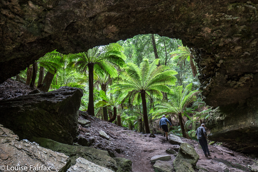
In the afternoon, we visited the Trowutta Arch. The arch itself was spectacular, but the way to it quite ruined it for me. I hated the hard, wide, unnatural path that has been built that scars the landscape. The forest also appears to be most suspiciously “tidy”. If the bureaucrats who designed this have wheelchairs in mind, I am most curious to know how they intend getting such chairs down the steep drop to the actual arch. Are they going to pop in a lift? Stairs will hardly help. The only section I enjoyed was the part they haven’t yet attacked. I hope this is the only route they decide to tame and manicure for tourists. I wonder why it is assumed that visitors are incapable of walking on any surface other than the artificially even one they normally use for shopping. This is a sad reflection on our society if it is correct. It contradicts what is actually good for our brains – a little challenge – a matter pursued by the excellent Austrian architect, Hundertwasser, in his deliberate planning of crooked, uneven paths and walls in anything he designed. I seemed to be the only one in the group who felt this way, but for me, the sight and feel of that city-style pavement in what had once been pristine rainforest, completely jarred, and detracted markedly from any delight I might have felt in the beauty that was there. Significantly, with the forest so “clean”, there were no fungi to be seen. There was nothing much for them to decompose.


Balfour Track instructions: The orange road to the left with 17 beside it is the C214. As you can see, you turn right off it (if going up from the coast) and travel 700 ms to the start. After your one hour (plus stops) walking, you will reach the C214 again, where you either retrace your steps (NOT boring at all) or, if you have arranged a car shuffle, a car will return you to the start. As the forest is always new in a different direction, the former method is both easier and more enjoyable. The track itself is the dashed line that basically follows the Stephens Rivulet. The other dashed, very straight line to the right (east) is presumably a boundary of some sort.

Tarkine West Coast 2017 Mar

Tarkine, West Coast, day 3. Mar, 2017


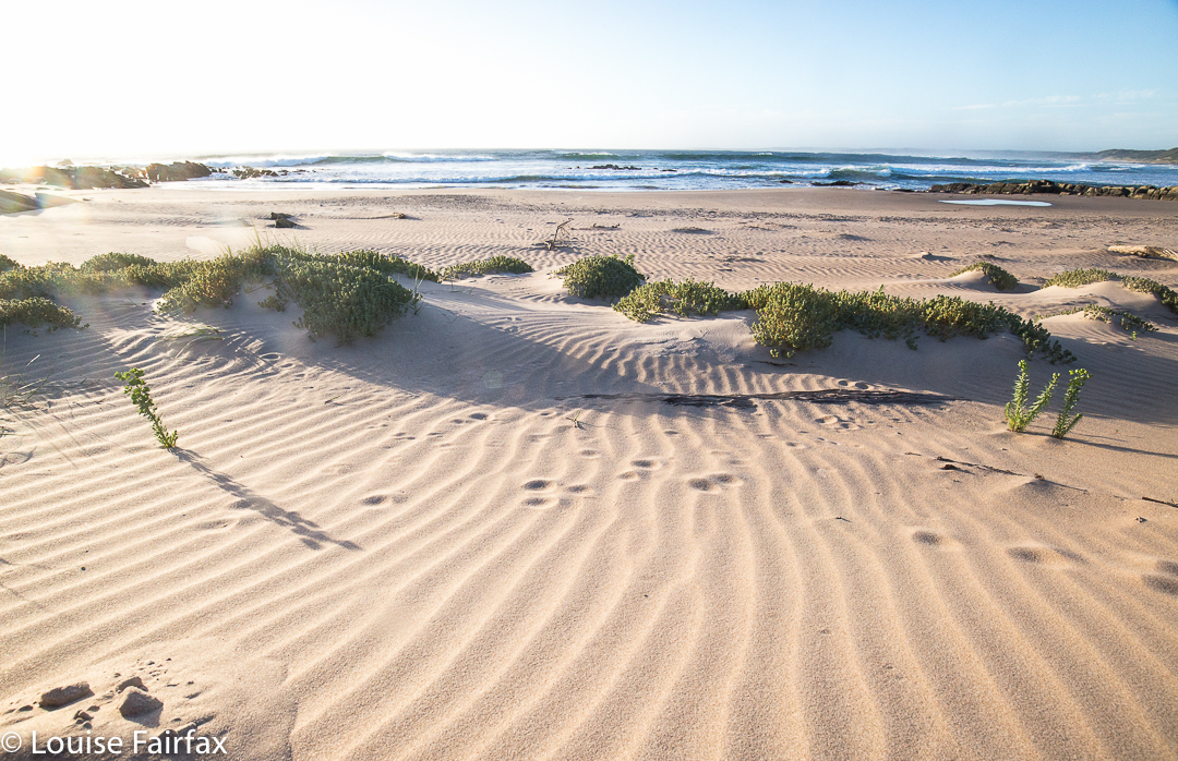
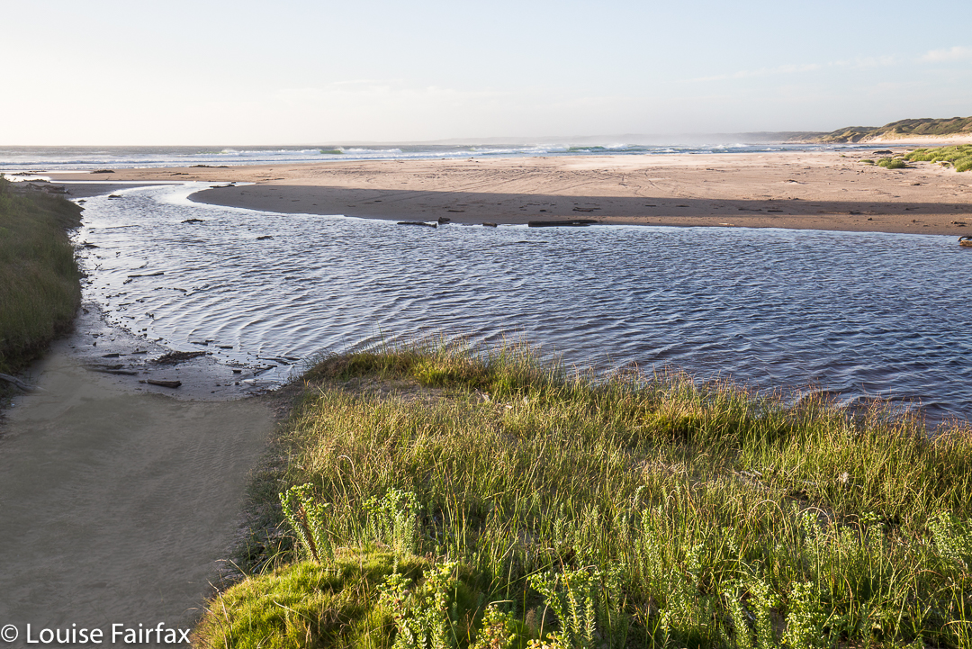
Quoll prints on clean, windswept sand.
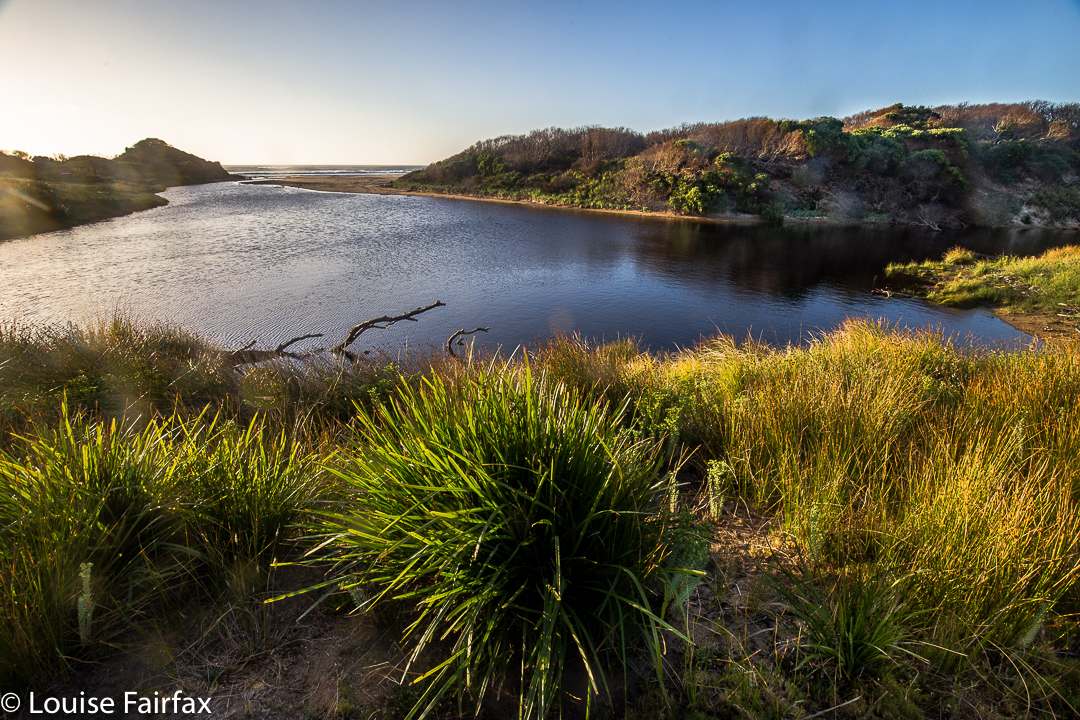
At last we arrived at the coast. Although I love mountains and lush, green, mossy paths, fungi, waterfalls and streams, I had been longing for the moment when we would reach the wild west coast and I could photograph some seascapes.


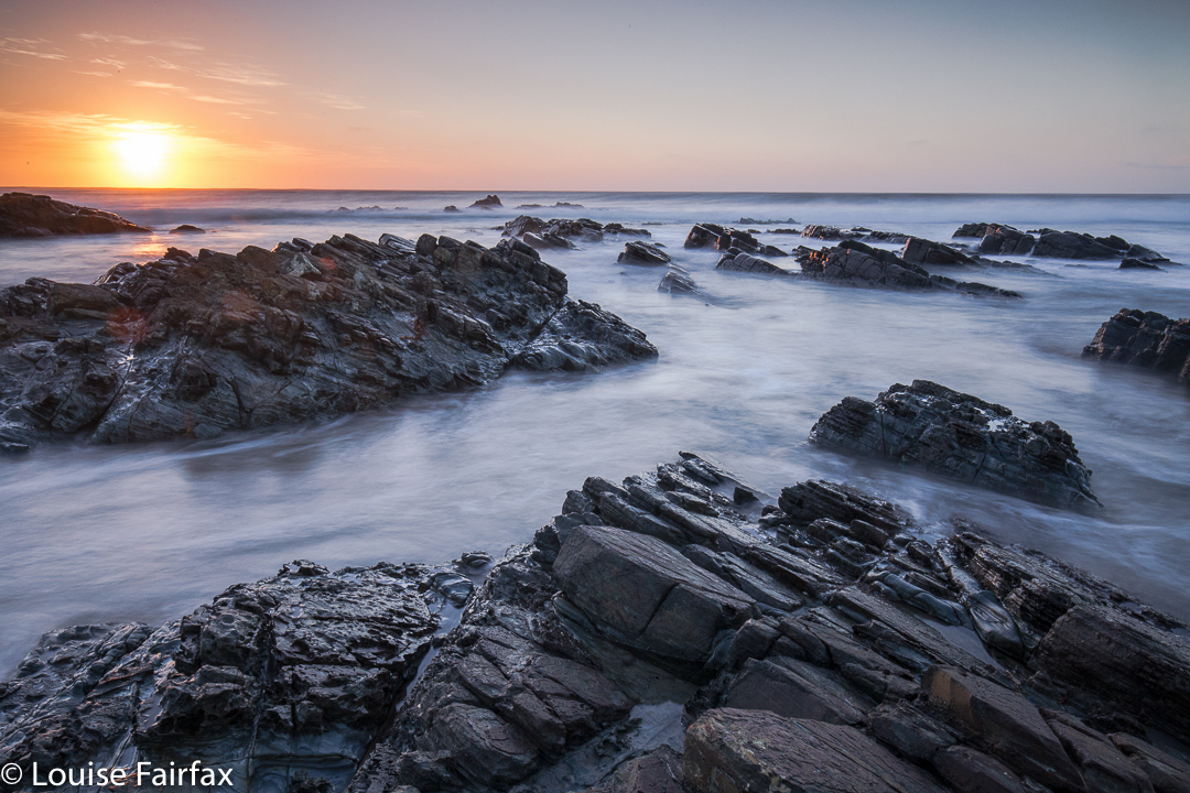
I am captivated by water’s motion, and dearly love every opportunity to attempt to record it with my camera. This coast did not disappoint, although the waters were perhaps a little less frenzied than I had hoped for.


The tide was on its way out, and was rather too calm for my liking. The sky was pretty cloudless, but that’s part of what I love about real photography. You take what nature gives you and do your best with that.


The very notion of being disappointed in what was there and popping in a fake sunball, or some snow or some passing birds in photoshop, just to make your photo more interesting, to me is anathema. I love the serendipitous in nature. I am her servant and not vice versa.


I hope you have enjoyed this small selection of the beauty I witnessed on the evening of day 3 of our Tarkine trip.

Balfour 2017 Mar

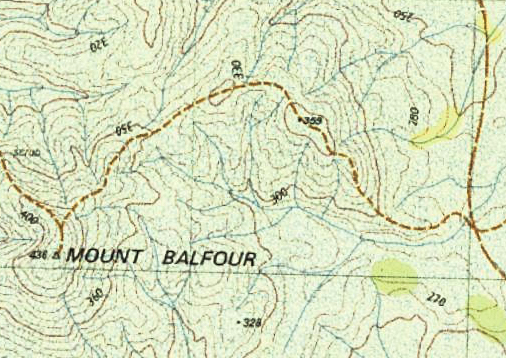
Mt Balfour, Balfour Ghost town, and Frankland River Walk.  Tarkine day 3.


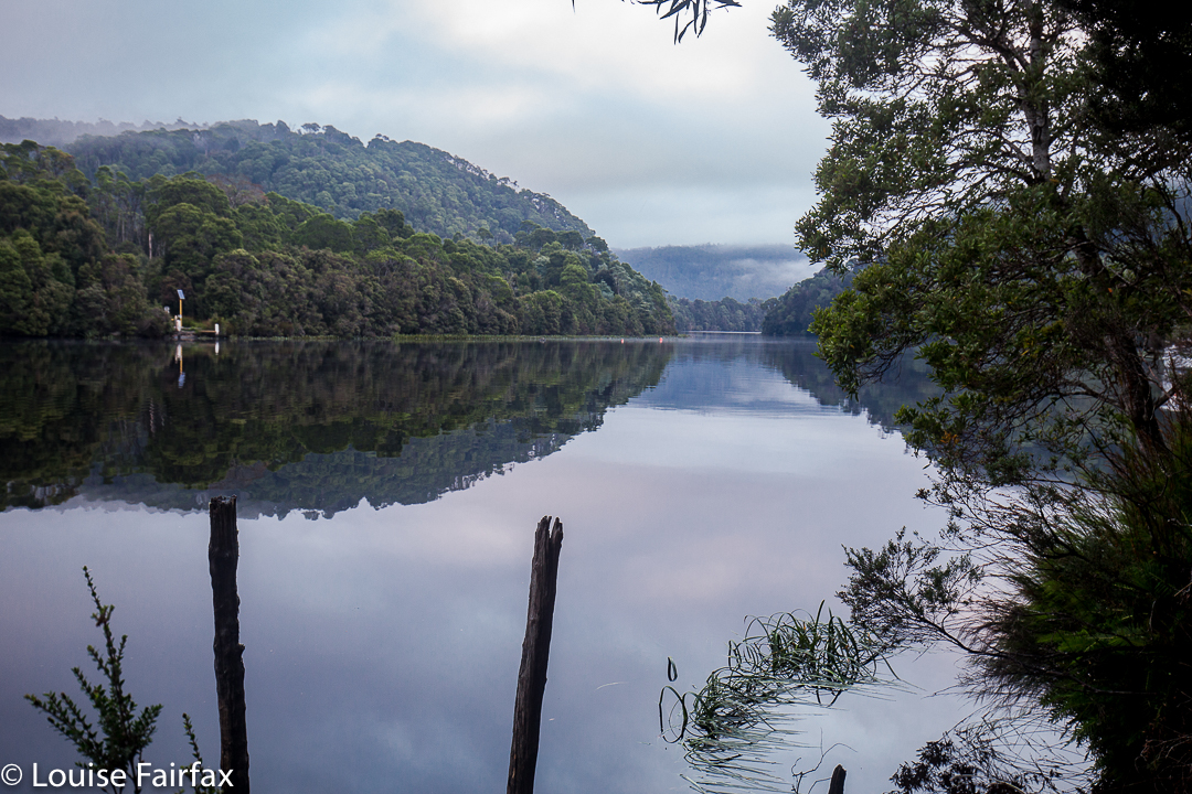
After breakfast overlooking the Pieman River with its beautiful reflections at Corinna, we continued on our way north, driving for about an hour and a quarter at moderate pace to reach the foot of Mt Balfour.
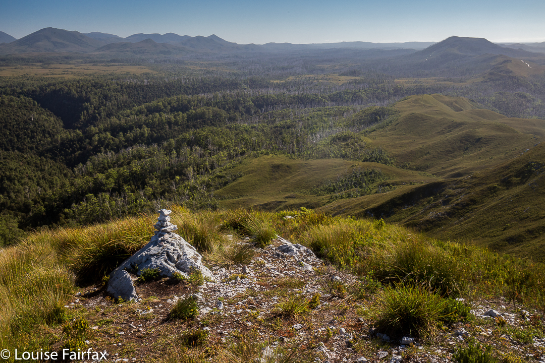
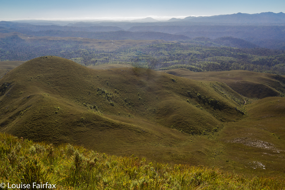
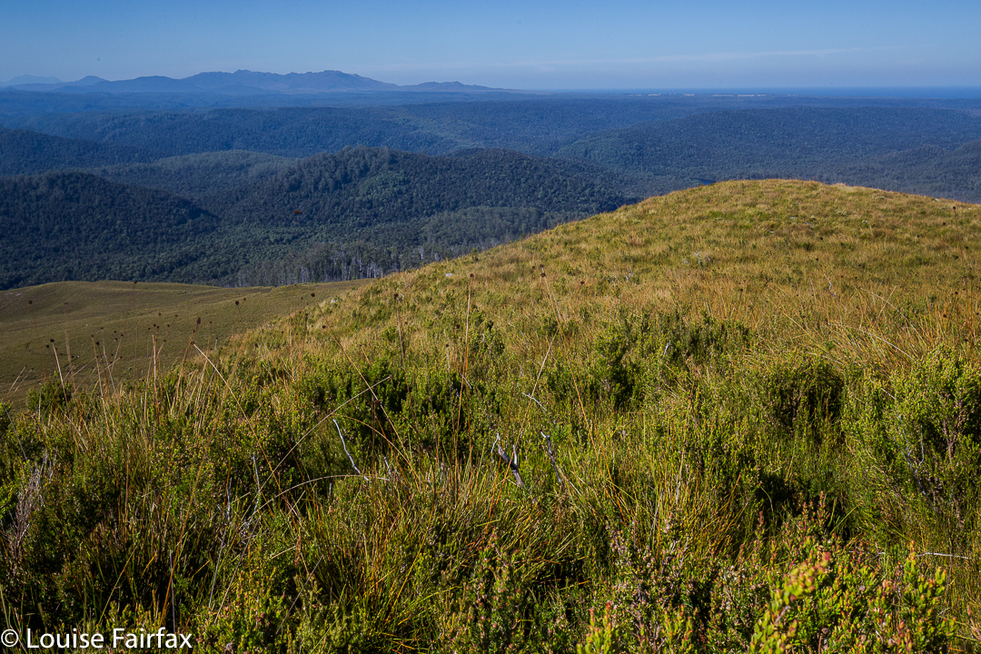
This mountain was short and very, very steep – so steep I was wondering how I was going to get my husband back down it. (He has Parkinson’s disease, if you are not used to reading this blog and find that an odd comment). Some sections you had to hang onto the grass to avoid rolling the whole way back down the hill. In fact, I watched a German girl girl doing precisely that as we neared the end on the rebound. She was wearing thongs, and had nothing to keep her foot attached to her shoe, so it slid out backwards. On the way up, I clutched grass and small bushes to avoid rolling backwards, and on the descent, I used the shrubbery rather than the ballbearinged 4WD track, as did my husband. He would have had a bad accident had he tried to stay on the track. The track just goes straight up, with no mucking around.

Steep it certainly was, but, as I said, it was also short, so I only took 27 minutes to the top – but 31 down. When you take longer to descend than to climb, you know this is a really steep slope. On top, we all enjoyed a snack just for the heck of it – because you snack on a mountain, even if it was only a tiny trip up – while some members girded their loins for the feared descent.


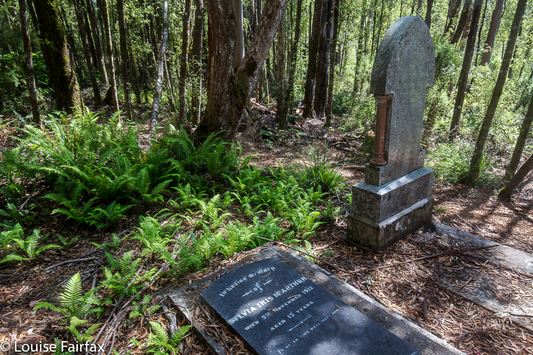
Next on our programme was a visit to the rather eerie ghost town of Balfour. Why eerie? For me it was, as apparently there are the graves of four hundred people who died in 1912 from typhoid. The “town” itself only has a few old tin shanties, but to think of such a large number of people living and working there, all quickly dead was rather horrifying. The doctor, whose grave remains, was only thirty when he died; Sylvia was fifteen. Most of the graves are no longer visible – perhaps there was just a mass grave at the height of the epidemic. I enjoyed the leafy tunnel that constituted the bulk of this walk, although the Frankland River, wild though it well may be, was not at its most attractive in midday glare. I didn’t bother photographing it, even though I did enjoy the leisurely stroll.


That night we slept on the West Coast, and that I DID photograph – with a vengeance. So many photos did I take that I’ll give the evening of Day 3 its very own blog (posted tomorrow).


Donaldson 2017 Mar

Mt Donaldson, Mar 2017. Tarkine Trip Day 2.


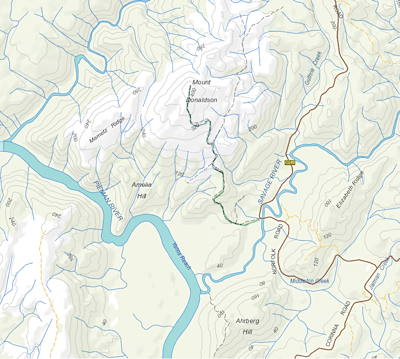
With the floating feelings brought on by last night’s magnificent performance at Zeehan’s Gaiety Theatre (Ode to Nellie Melba, with Opera Australia’s Lorina Gore), our merry band of eight walkers from HWC (don’t all walking clubs do opera??) set out to drive to Corinna, where one member would go on a boat cruise, and the remaining seven would climb Mt Donaldson, only about ten minutes’ drive from the lodge. It was going to be another hot day, so we set out as early as was practicable, and didn’t bother pitching our tents until our return.


The walk began across the road from the parking space at the Savage River bridge, a beautifully shady place to park. As per yesterday, the leader didn’t mind my odd little ways, so I was not required to stay with the group, but permitted to climb at my own ‘happy pace’. I felt very free and light.


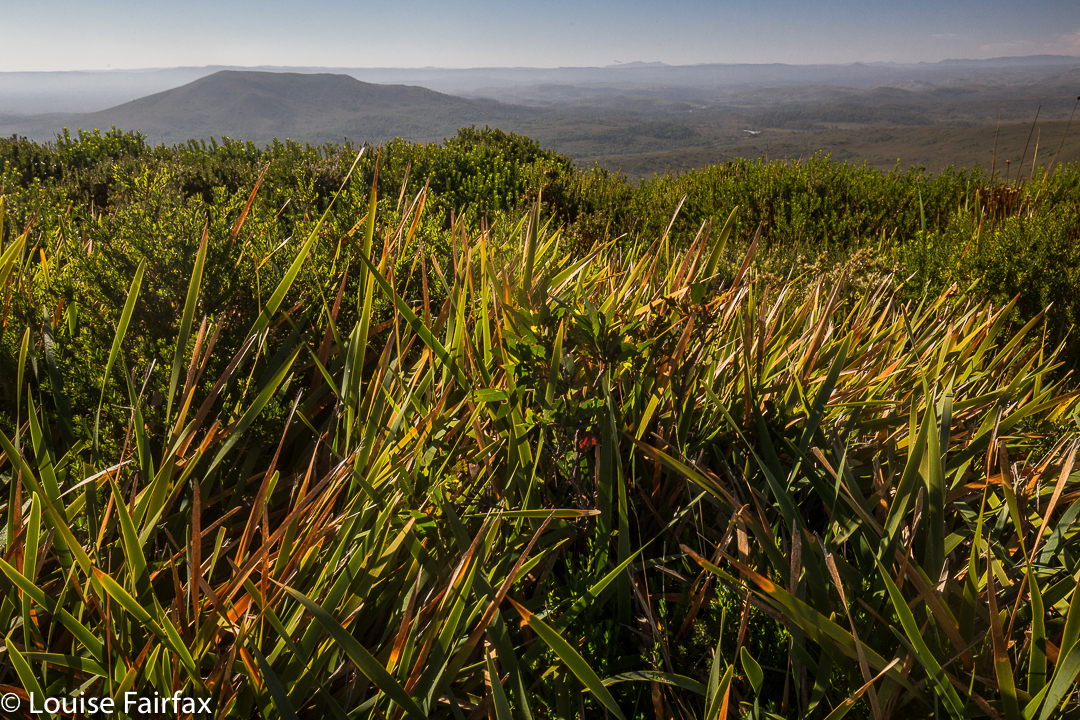
Sometimes it’s great to be alone and just enjoy nature, moving at a pace that pleases. There’d be plenty of time for socialising as a group later. Because I was allowed to move at workout pace, I arrived at the top in light that had not turned to glare. The world seemed fresh and beautiful in the still-golden tint. The early rainforest part had been wonderfully lush and green; the higher woodland section, an interesting contrast; and the button grass part offered excellent views of the river snaking below, and of other mountains in the distance. I sang as I walked. Life had been stressful last week, but walking and singing and enjoying the wide open scenes with the narrowed world to myself was a perfect antidote to calm me down.


As with Mt Zeehan, we could see the ocean from up there. Poor Mt Donaldson is not only not worth any peak baggers’ points, it is not even considered an official “point of interest” or a “high place”. This is an absurdity, as it was both interesting and high enough (437 ms) to offer a wonderful view in the early light.  It is neither an Abelette, nor a Bob Brown. It is just nothing – but it is most worthy of a visit. The 4.3 kms from car to summit took less than an hour, but most groups are not chasing a workout, and would probably want to linger on top longer than this restless jitterbug. I was having fun dancing in the breeze, and returned quite quickly to the car where I got in several glorious chapters of my book, once more enjoying tossing off my other responsibilities for a while.  My husband was having a wonderful time with the group.
We had lunch under the canopy of myrtles beside the river in a cool and shady spot before returning to Corinna to pitch our tents and enjoy the environs there.