Castle Crag / Falling Mountain 2016 Jan

Falling Mountain and Castle Crag. Feb 2016

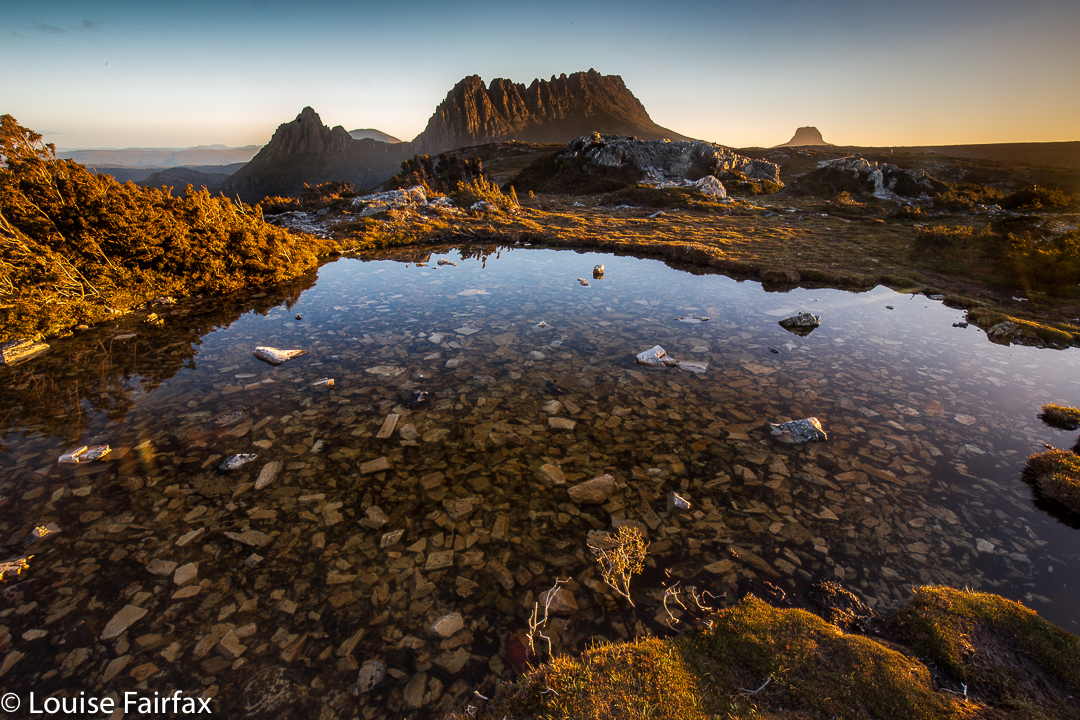
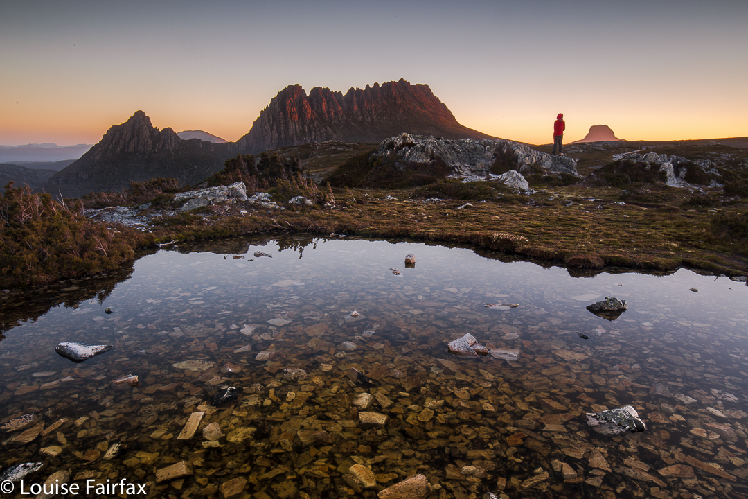
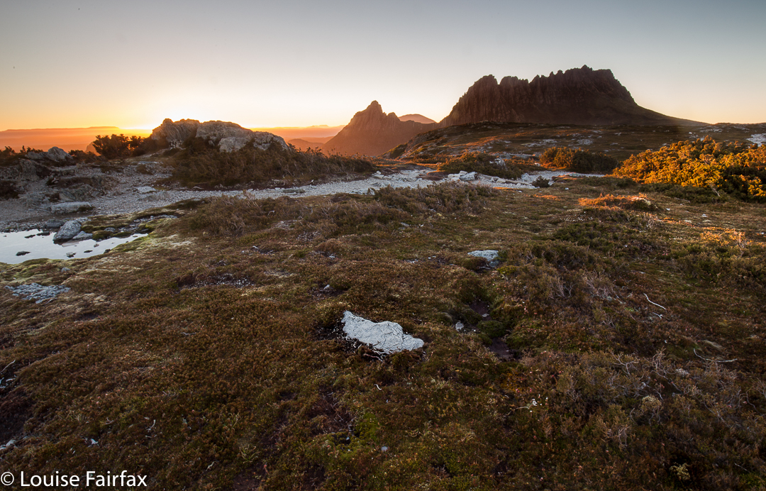
View from Castle Crag, with Pelion East, Pillinger and Cathedral in the background.
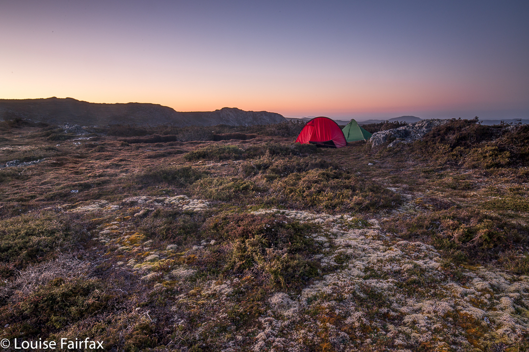
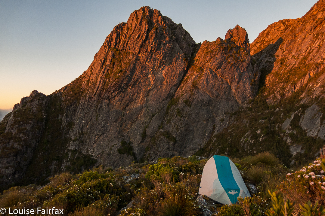
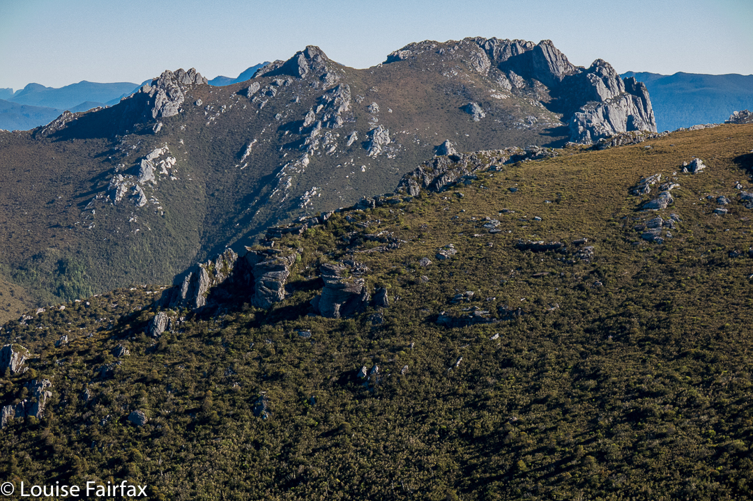
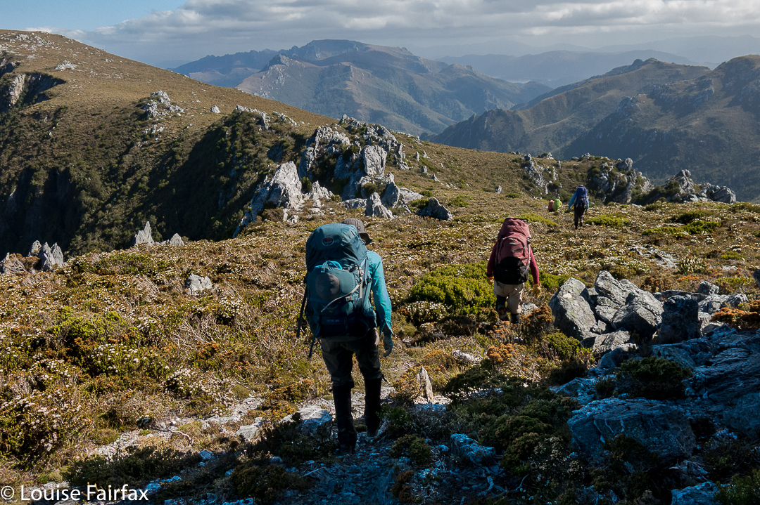
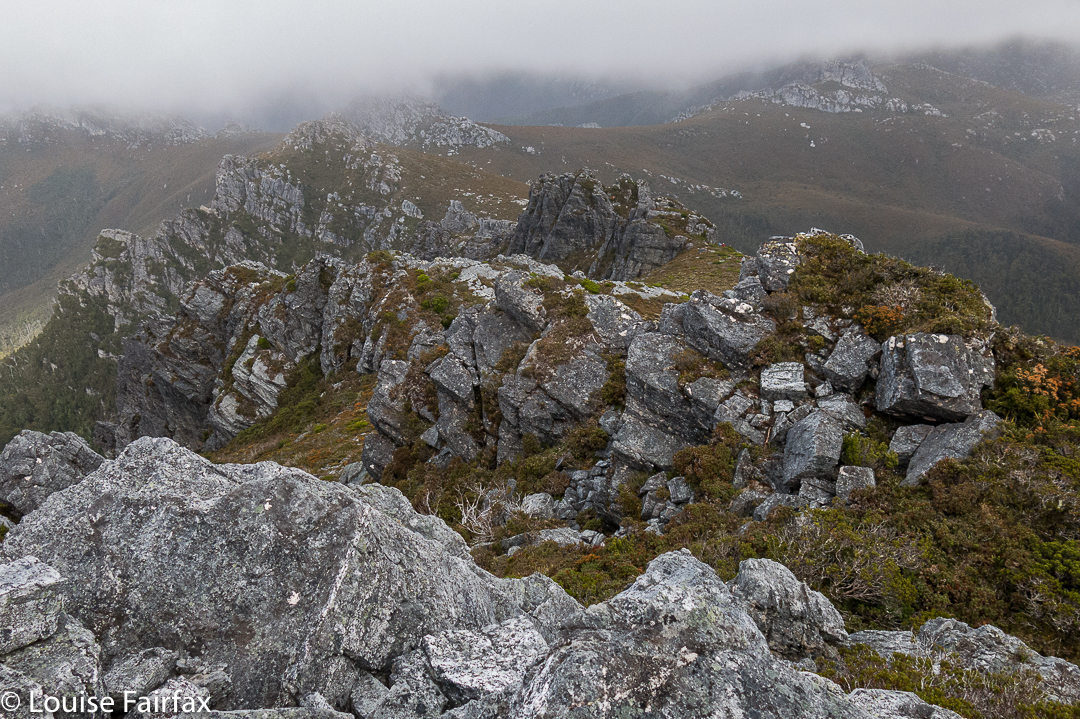
To climb Falling Mountain, the notes Angela and I had suggested we should head from the clearing below Du Cane Gap towards the rocks from the latest fall off the southern end of the mountain, so we did precisely that, departing that bearing when the bush got thicker than we liked. When we left the direct bearing, we headed a bit right (north), climbing or contouring as the best leads through the scrub dictated (no longer using compass). Eventually this method took us to a wonderful lead of pineapple grass that made easy passage in a green path upwards to the final little climb that popped us out on top, much faster than anticipated in 1 hr 17 from our tents, drying down in the open clearing below. I photographed here, at the highest rock on this part of the mountain, five minutes away, and again at Castle Crag, a nine-minute saunter further on across alpine grasses and a bit of rock.


The route being described in the narrative
Rather than just retrace our footsteps, we agreed to try something different and just drop off Castle Crag. The boulders were surprisingly huge and the going not as kind as our original route, so we decided to sidle across to meet our ascent track. I was leading at this stage and concentrating on the job, using a kind of animal instinct that kicks in when I’m climbing, just following what some non-verbal part of my being feels is the way to go, sensing passages through the maze of rocks when one of the smaller (football size) rocks I trod on became dislodged and catapulted down the mountain, whacking my foot en passant. I writhed in pain, hyperventilating badly, vision blurred, dizzy with shock. Uncharacteristically, I reached for my pack to grab a painkiller. Whoops. They were in the big pack way down there. Angela’s were in the same place. (At least my EPIRB was with me. At this stage, I didn’t know if anything was broken, but found it hard to image that a blow of that force would not break something.)

“OK, no painkillers. We need to get moving quickly. If I’m to get through this, I need to start moving, and now. If I rest, I’ll stiffen up and never budge from here.”

Castle Crag summit cairn, with Ossa and Pelion East behind
Cautiously, gingerly, I put weight on the now swelling blob at the end of my leg and tucked in behind Angela, who was left with the job of choosing a route that would be kind to a one-footed friend. I didn’t feel like exerting the brainpower needed for such matters, and concentrated on using the foot as a stable plank, tucked in behind Angela. Most surprisingly, we were down in 1 1/2 hours. It felt like much longer than that, but my foot was coping well with weight bearing.

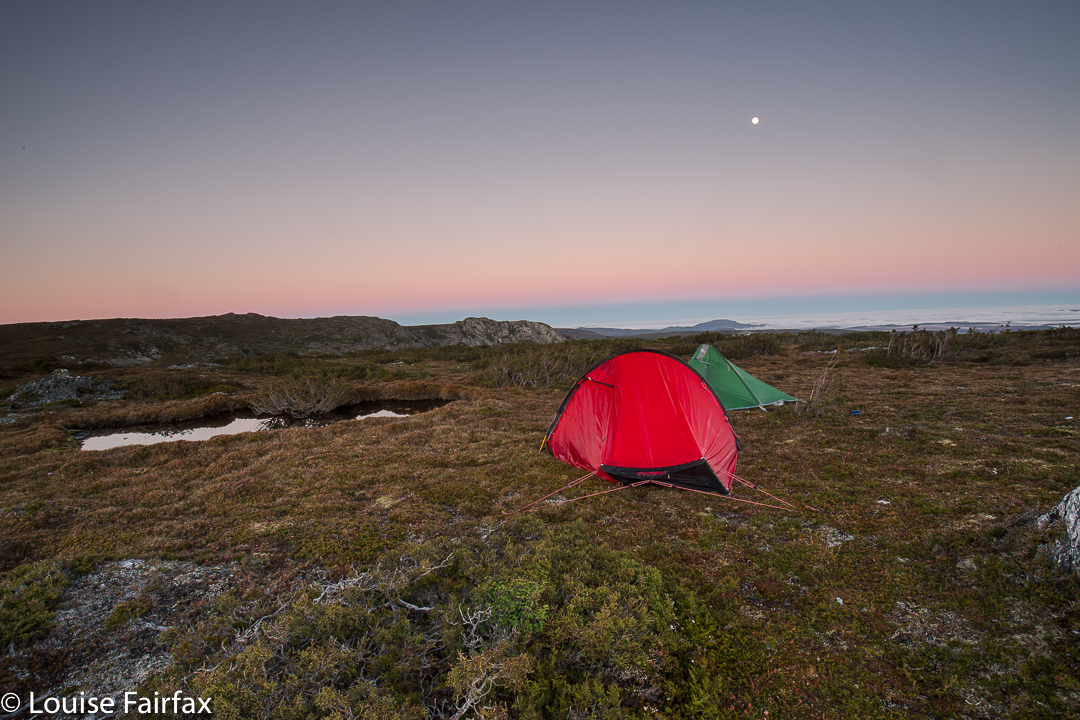
Sunset at Narcissus Hut (Lake St Clair)
 
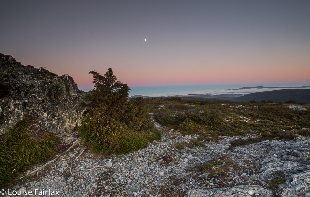
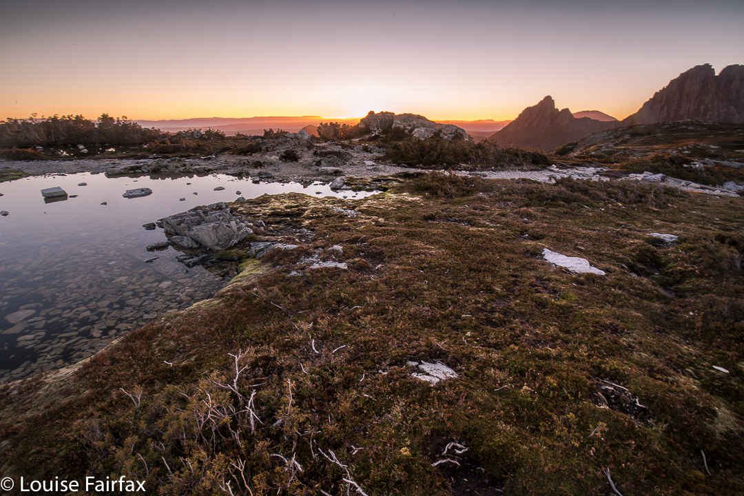
Next morning the sunrise was exactly what I ordered. I do love a good mist

I didn’t dare inspect the damage to my foot until Narcissus Hut. I thought if I looked and saw what I was bound to see, I’d feel sorry for myself, and maybe not be able to go any further. Now, I must say, I have always had the policy that if you are going to hurt a lot on the inside, it is the best thing to have an outer appearance that is commensurate with the inner torture. My foot did me proud. It was grossly distorted and swollen, and coloured a rather nasty combination of red, purple and dark grey. I felt a true martyr.

Leeawuleena, the mellifluous aboriginal name for Lake St Clair that matches its visual beauty with soothing sounds
Despite this magnificent display of swelling and colour on my ankle, I can report nothing is broken. For this, I can only thank my wonderful, solid, leather boots that shielded me from the full force of the bash, and the fact that the impact must have been pretty well back on the foot, so I am extremely lucky in the placement of the collision. My doctor advised rest.

“How many hours do I have to rest for?” I asked (neatly eschewing mention of days or weeks).
She knew the implication of my choice of words, shook her head and smiled wryly (which is why she’s my doctor).
“Twenty four / forty eight hours?” , she said with rising intonation and another smile. I got the feeling she was carrying out a kind of barter: What number can I say that will not be so great that this person rejects it altogether, yet not so small as to be nugatory? She chose a good number.

Deal. I’ll obey that. I did Pilates instead of running and only walked the dog.

Dawn light
I do not feel unlucky at all to have been hit by a falling rock coming off Falling Mountain: on the contrary, I feel very much the opposite, and elatedly relieved at all the things that could have been, but weren’t. I will enjoy the rest of my summer’s bushwalking with even greater gusto.

Spires 2017 Conical Mt, Shining Mt, Pokana Peak

The Spires. Jan 2017
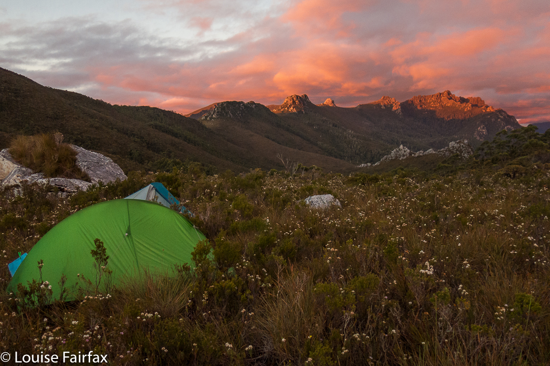

First night on the Spires trip, camping on the Pleiades.
I never set out for The Spires confidently expecting to reach the goal area, let alone the summit (despite our excellent leader). Too many things can go wrong in such unforgiving, wild country; too many others whom I deeply respect have failed one or more times to get there. Weather conditions, for a start, can wrest victory from your grasp, as the trek in is long and hard, and weather can make a huge difference when that is the case. But if you don’t set out, you haven’t a hope of succeeding, so our packs were on our backs, ready to give it a try, and if we didn’t get there, hey, we would have a fabulous experience in the wilderness anyway.
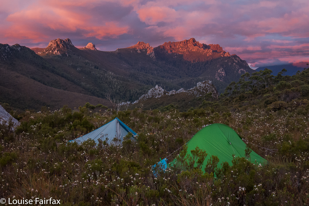

First night on the Spires trip, camping on the Pleiades. 
Certainly, things didn’t begin in a way that engendered hope had I only been there to achieve summits. We had a few glitches on the first morning getting ourselves into position that set our programme back half a day, so we only made it to a saddle part way up the steep haul onto the Pleiades Range before we were obliged to end the day. Here there was camping to be had: well, there was fresh, running water the other side of the saddle, and the ground was kind of level. There was button grass everywhere, and bushes that did not respond at all to my request that they flatten themselves for my comfort. It was impossible to cook in such a bumpy, bushy vestibule, but the weather was mild, and we congregated on rocks to prepare our meals. The mood was jovial. Sunset that night was wonderful. I had an unexpectedly good night’s sleep.
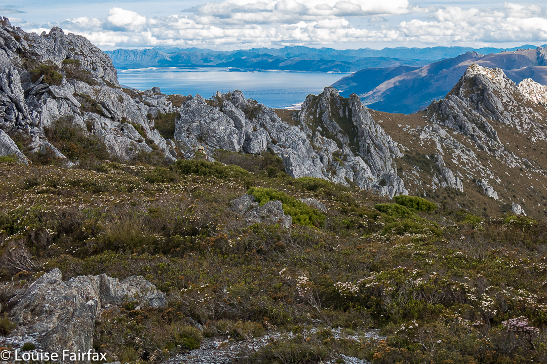

Looking along the spine of the Pleiades.

Day 2.
The following morning, we set out to finish our climb up to the Pleiades Ridge. This is very, very steep country and the bush was thick, the going hard.  Some members struggled, but thanks to a team effort, we all reached the ridge, and continued on our way along it, which seemed fine enough until we hit the final cliffy mound (huge) near the end before we would make a slight “left hand turn” at a different knob, continuing towards Conical Mountain (heading NNW, while the ridge leading to Pokana Peak deviated east). But first, as said, we needed to get around the final knob before the “intersection”.
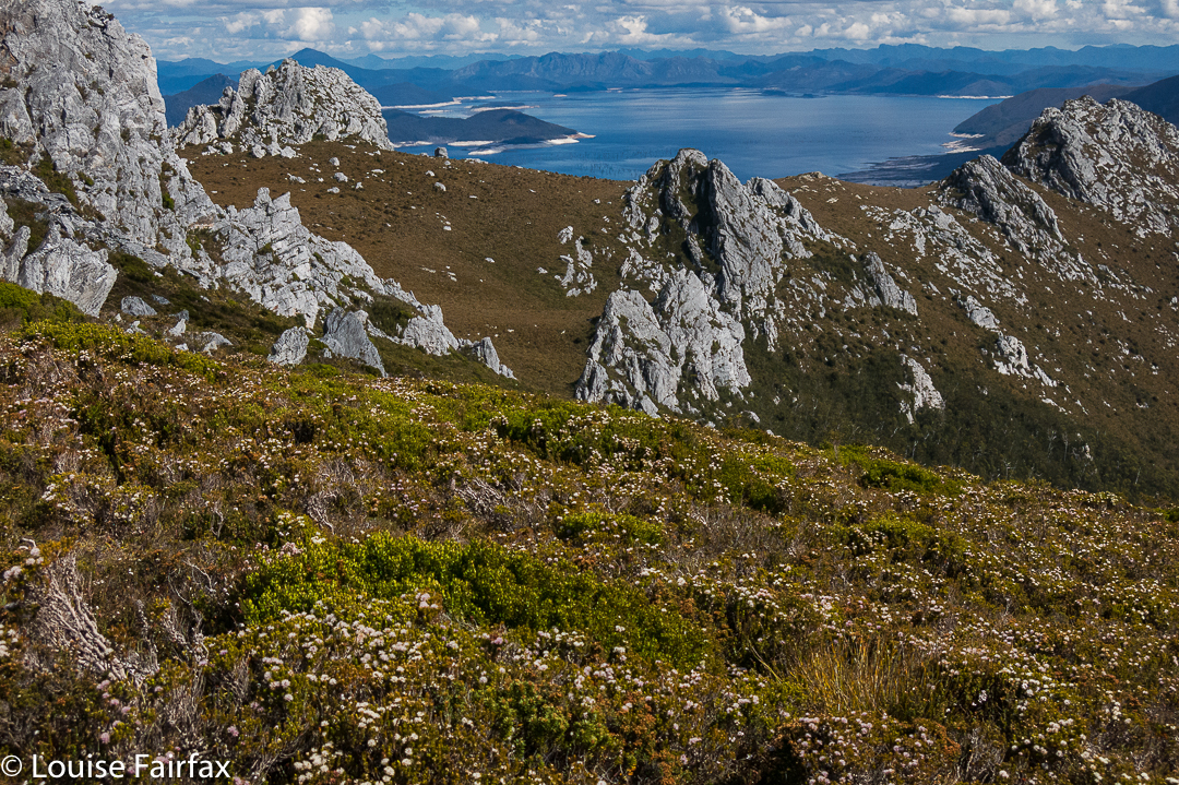

Looking along the spine of the Pleiades.
We chose right. There was even a pad of sorts. It was so steep, I was grunting as I pulled myself up, and was accused of trying to have a tennis match. The last time I grunted like that was climbing up to Slatters Peak in early 2013. I’m not sure if it was the steepness (and extreme weight of my pack), or just the fact that my protracted illness of the last three months has robbed me of too much precious condition, but, whatever the cause, each major heave upwards elicited a noise worthy of Maria Sharapova (well, not quite that bad). This part of the route had a few spots where there was a very steep drop below our ledge. It’s funny how different varieties of exposure have altering reactions from people. Because there were trees below, and bushes to cling to, I felt fine, although, of course, I did feel the need to be cautious. Somehow the trees under me reduced any sense of great threat.
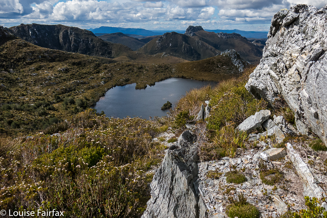

Looking down to the lake for night 2.
There is a small lake below the ridgeline after one has waved goodbye to Pokana Peak, and this was to be our campsite for the second night. As we descended to it, I noticed a lovely little beach with small sandy shore far below and hoped to camp there. Unfortunately, this spot was a bog, with a squelching, sinking vestibule area and button-grass lumps in abundance where my body should lie, but there was nowhere else to go by now, so I pitched and hoped it wouldn’t rain, which would turn my little depressed area into a tarn. I cooked on a nearby rock, joined  by Johnny, whose tent was nearby. Our rocky kingdom was fine.
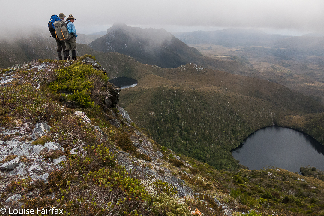

Rohan and David survey lakes two and three, beyond our own one, on Day 3

Day 3
.
At last, after three days’ steady, and fairly exhausting climbing and pulling and heaving and high-stepping, we were heading for our first actual mountain (still laden with our heavy packs), and, joy of joys, it was an Abel: Conical Mountain. It still looked like a giant ahead as we snailed our way towards it. I was very happy to at last have a summit under my belt, and an Abel at that, but the big one lay ahead.
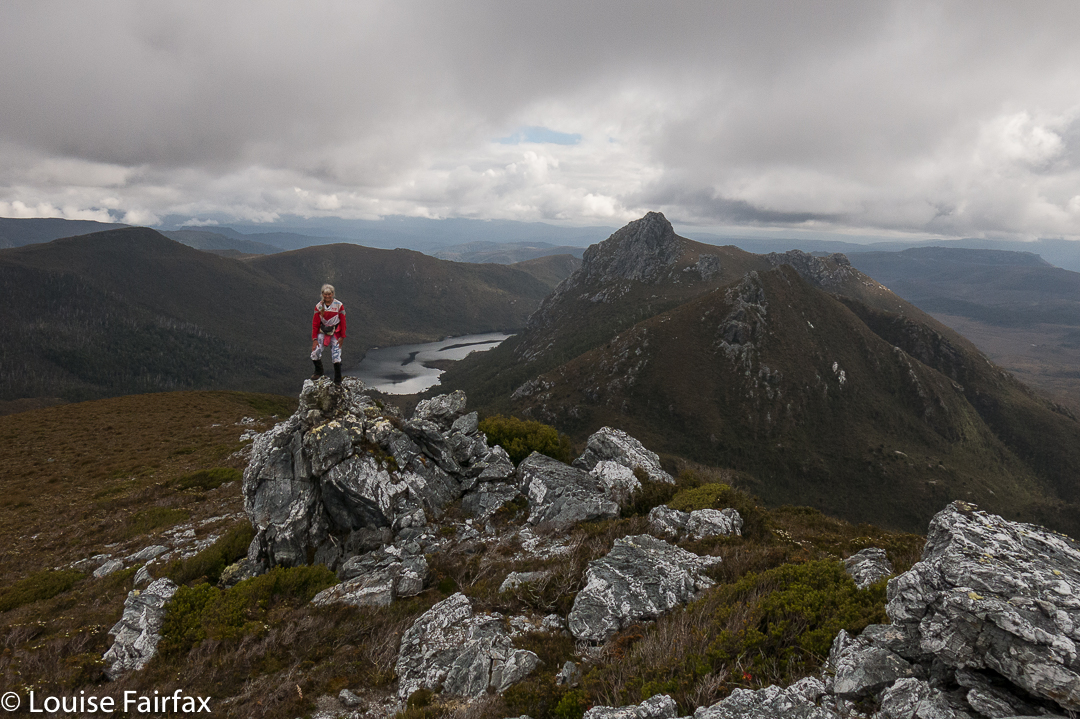

Me, above Lake Curly, looking towards Mt Curly.
Shining Mountain is lower than Conical. That should give heart, but the drop between the two did not. There was more height to gain, and more bush to fight for my out-of-condition body. We celebrated the views from Shining fairly early in the afternoon. The day was now very hot, and progress was like a pyrrhic victory in a battle.
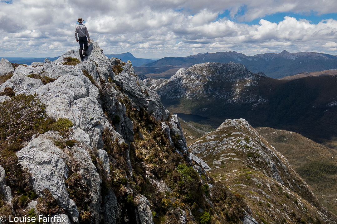

Dale on a fun spot beyond the summit of Conical Mountain.
Shortly after summitting this one, our noble leader pointed out that descent into the valley way, way below (almost out of sight, the land was so steep), would be a hot and unpleasant affair on such a day. He said it would be possible to camp up there and still climb The Spires on the morrow.
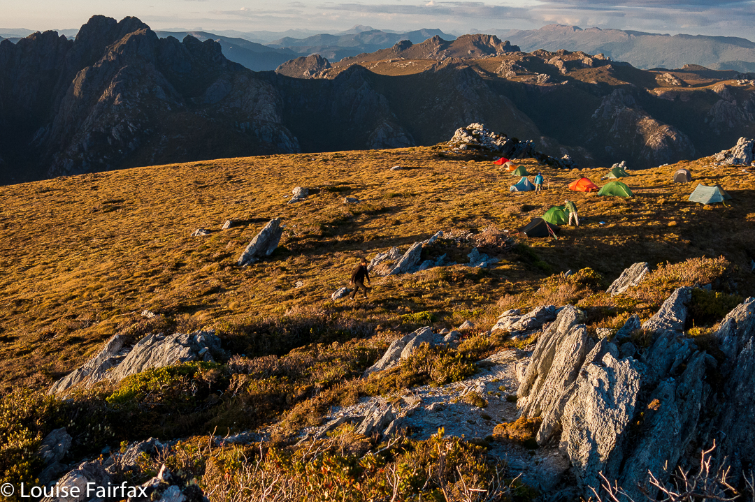

Shining Mountain shelf campspot. The Spires lie ahead there across the valley.
Now, considering the fact that I was of the opinion that if God wanted to choose an earthly spot for heaven, He could hardly go better than the one in which we were then seated, this was joy to my ears. The view was fabulous; we were high in the sky with a sense of infinite space all around and mountainous views to die for. Yes, yes, please: I wanted to sleep just here, to linger in this place and soak it all in. THIS is why I bushwalk. This is the reason I come, and I did not want to go away. We stayed.
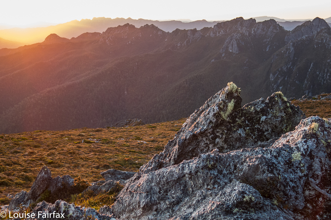

I chose a secluded spot beyond the other tents and enjoyed scenery that filled me with joy and peace. My spirit soared with pleasure. This is The Sublime, not just the beautiful. Spiritual pleasure in such a place is not confined to indigenous people. Wilderness is important to the soul of all of us: the chance to be in a place of the infinite and be still in a way that cities do not allow. My church is up here, not in a dark, musty building made by humans.
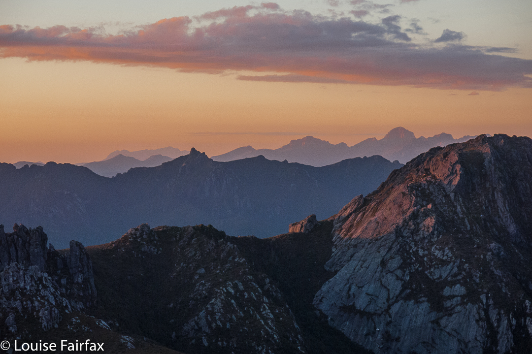

I wandered about, chatting, but mostly I sat and stared, just enjoying the existential pleasure of being. I no longer cared whether I made any more summits. I felt complete.
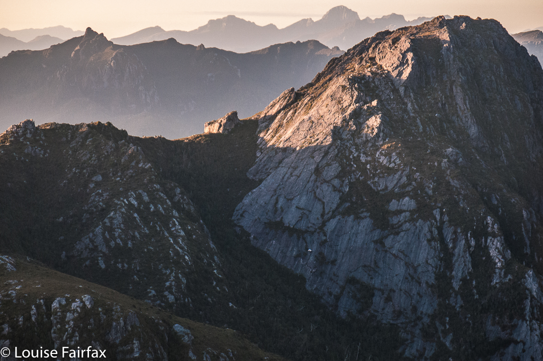


Day 4.
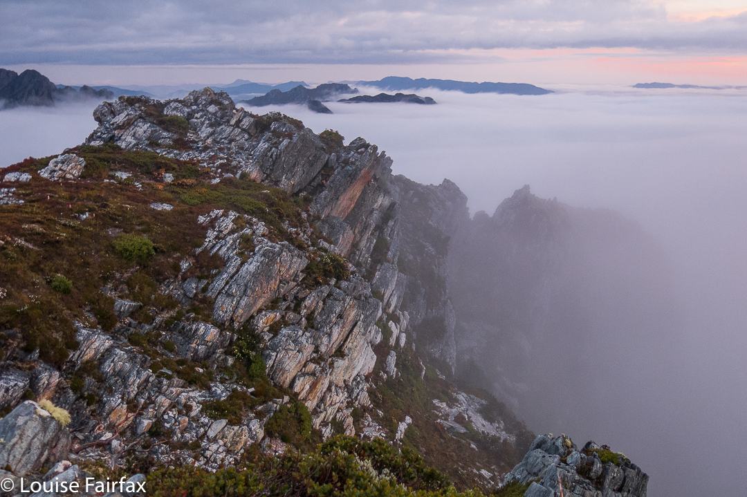
After a glorious start to the day, the climb down to Reverend Creek and then up to The Font was bothersome, done in temperatures that told you swimming would be a much more pleasant pastime than this. However, we were there to climb, not swim (that would come later for the Brave).
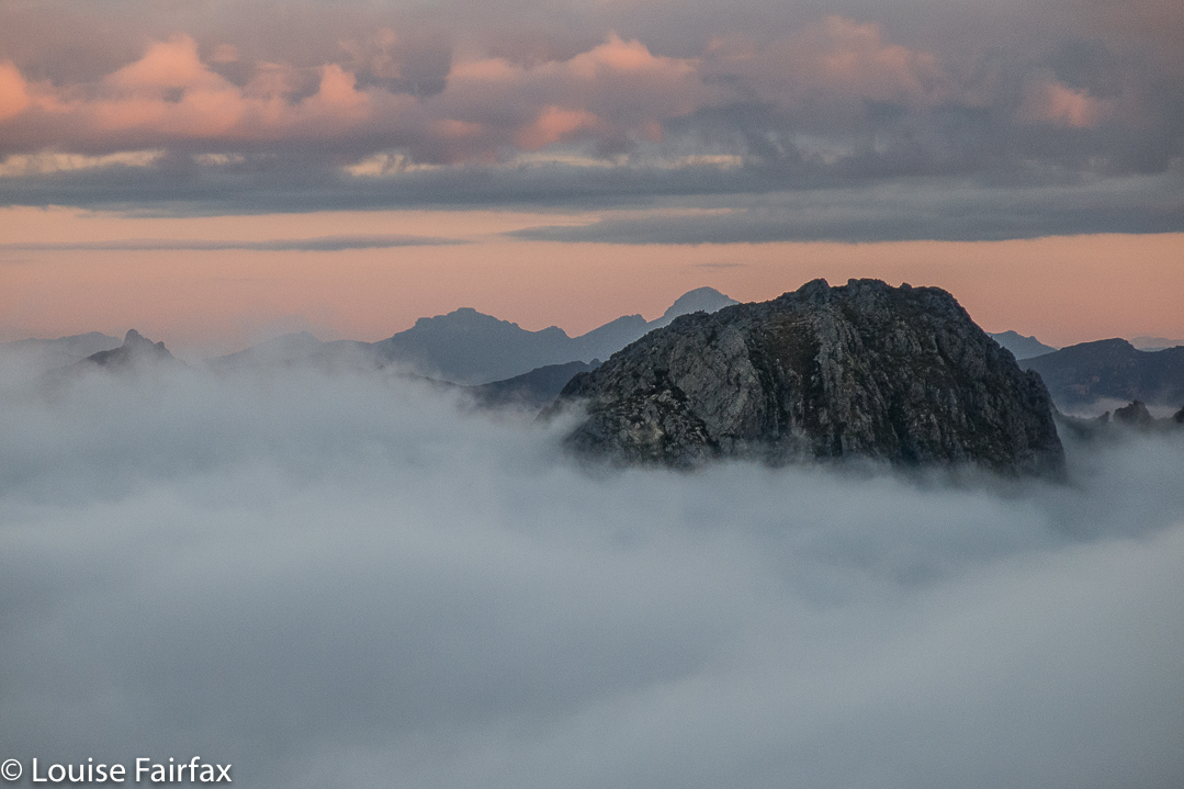

We dumped our packs at The Font, and began the serious business of our actual mission: to climb The Spires. But first, the vote was to climb Flame Peak on the way, to score two easy points in case we couldn’t get the Big One, which was much harder.
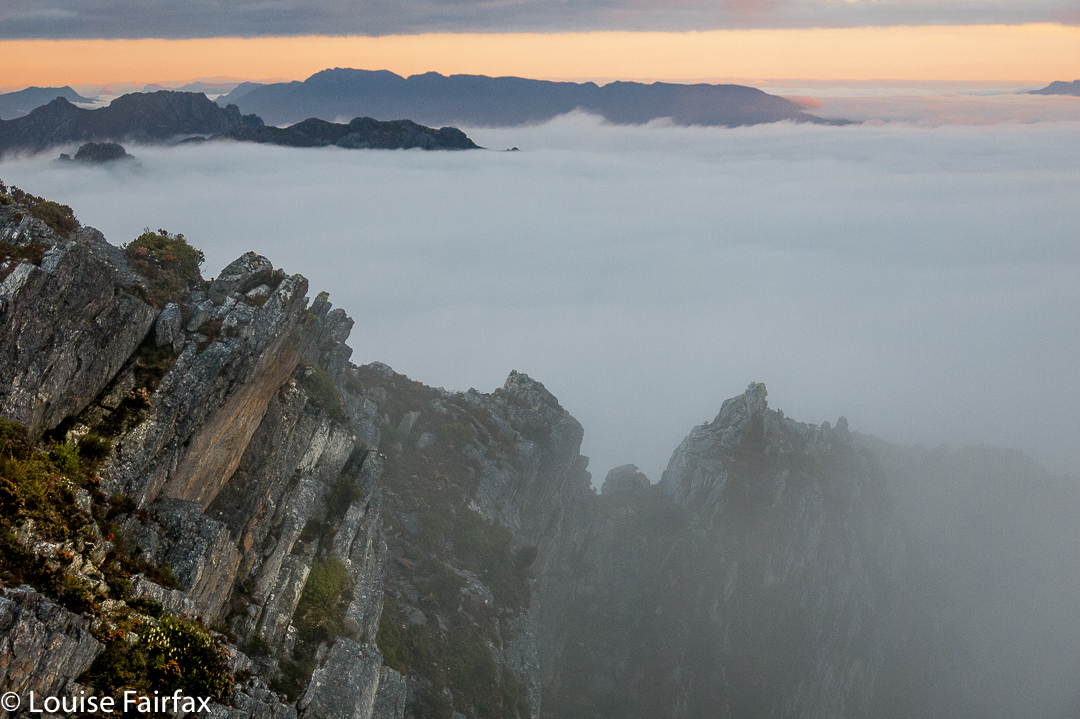

Unbelievably, my camera let me down at this part of the day, and refused to allow me to shoot. The others suggested that the heat was the problem, and they were right: it functioned again that night, but for these two peaks, the object of my quest, I was effectively cameraless.
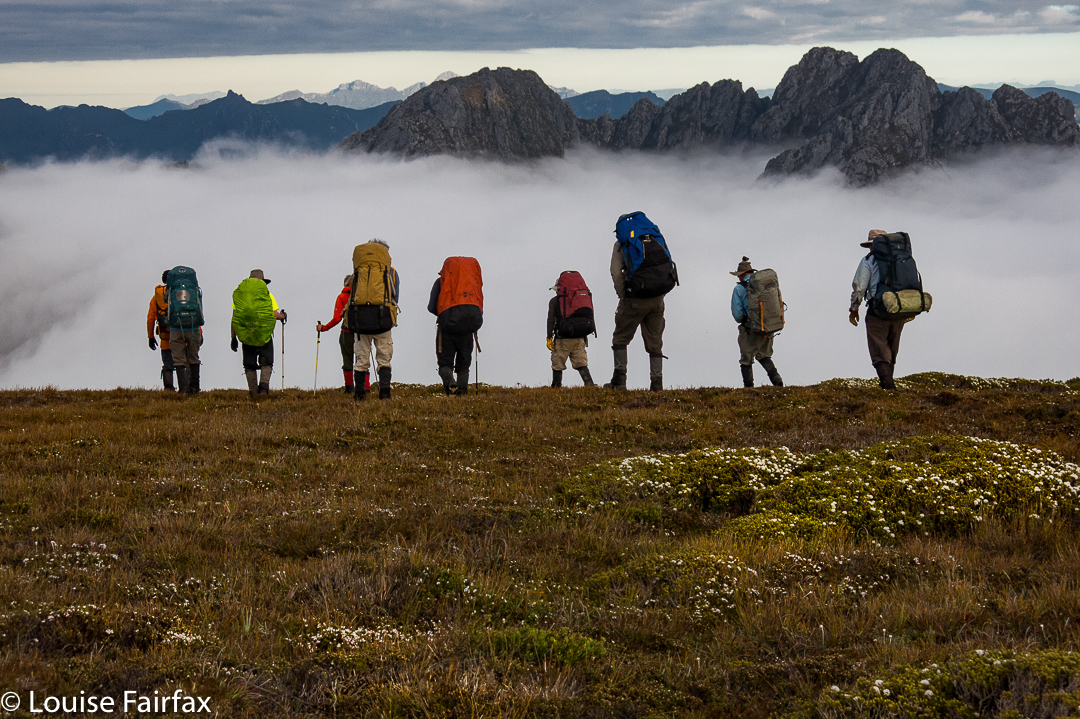

But let me describe the route up The Spires. From the Flame-Spires saddle, we descended around the face of The Spires, curling right, until we found a ledge that led to an internal saddle within the Spires summit. The going in this part was easy, with plenty of bushes to grab. It was even shady. Hoorah. It was fabulous to be free of our packs at last. I felt so light and agile.
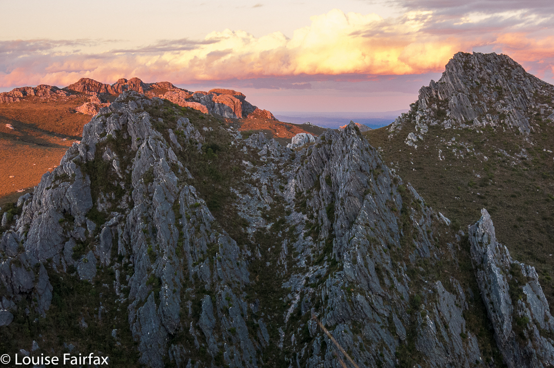

And now the photos move straight to sunset, due to the broken camera.
After the internal saddle, the fun of the final climb began.  We curled left, to be faced with a sloping rock that had no handholds for safety. We had been warned. Some crawled; some wormed. We all got there. It didn’t last long. First object overcome. Had anyone fallen, it would probably have been fatal, as the drop, although not of Feder proportions by any means, was probably enough to be one’s final acrobatic act.
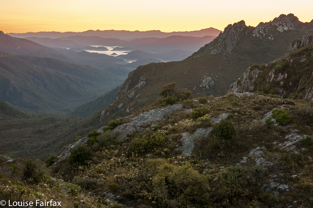

After the slope, the rest was fun. Yes, the drop was now monstrous, but the handholds were secure, and I just didn’t look at the drop, so can’t tell you anything about it, although I could feel Great Space below. With security of holds, it didn’t matter. Eleven set out for the final climb. Eleven made the summit. Fantastic job, oh leader (who, having been there before, and now sporting some gastric bug, did not accompany us).
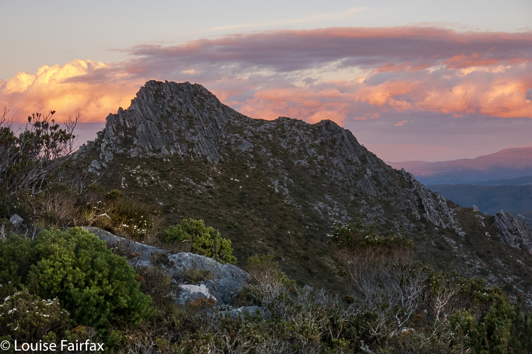

It was time for another vote. Should we go back the way we came and face the slopey bit again, or do a circuit continuing on towards False Dome, maybe climb it too, and come back that way? We voted for a circuit, so off we set. The saddle before the first internal mound offered no way down. Nor the second. After much climbing and humming, we voted to reclimb The Spires from this new direction, and retrace our steps. It was a fun adventure, and a good way to fill the afternoon. Soon enough, we were at the campsite above The Font, choosing our real estate for the next two nights and enjoying the views this place had to offer (tremendous).

Day 5.
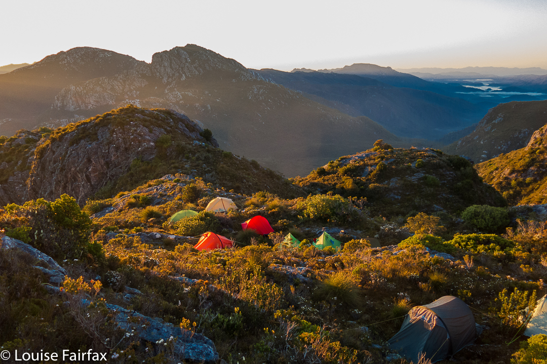
This was to be a packless day, climbing Innes High Rocky, a mountain that pleased me greatly because of its stunningly remote position. Dale – one of our more adventurous members, and an amazing team member who averted many an attempt at team failure with his admirable ability (and astonishing willingness) to carry other people’s packs when they were struggling – went even more remote than that, and climbed Philps Lookout as well. The rest of us found Innes High Rocky to be exhausting enough on a day that felt well over thirty, and in terrain that offered very little water, but button grass higher than my waist to overcome for huge stretches.

One of my chief memories of this day is of us all crouching beside walls of rock, trying to shelter in tiny patches of shade. I even voluntarily sat on a scoparia bush, as that was the only way I could get some shade. This is not a hobby I will pursue. The day was ten hours long, even though the actual climb only took five and a half hours. The breaks were needed!! I enjoyed the chance to linger longer in a place that I will probably never go to again.

Innes High Rocky still a way off yet.

Day 6.
The Font
Now we entered the business end of the trip. Camped up high, we had access to BoM readings, and the weather for Tuesday was pretty bad; for Wednesday, absolutely deplorable. We had two days to get out to beat this change. If we could reach the Lake Gordon shore by late Monday afternoon, there was a chance Andrew could get us all out in his flimsy (sorry Andrew) dingy before the projected winds made the lake perilously rough. It was now Sunday morning.

Off we set, on a mission, and successfully walked two days at once, in what was a long day. This day was so windy, I had insurmountable trouble walking in anything resembling a straight line, being constantly thrown to the side by sudden gusts. I found it exhausting fighting the wind like that all day. We camped this night at the lake of our second night.

Day 7.
On we pushed in our race against the weather, but not so fast that we had to omit Pokana Peak, the final mountain, and Abel, of our quest. It was grand to be once more, albeit it only momentarily, free of our packs.

Pokana summit view
The day was long, the work was dehydrating, with the yabby holes from which we’d drunk on our way in now almost fully dried up by the way out. Valiantly the group pressed on, well aware of the penalty of easing off.

Andrew’s first trip across the Lake was dicey, and he feared it would be his last for the day, leaving a herculean task for the morrow, but he realised he could make another, and yet another, so did. My tent was already up when the boat returned, but I was neither worried nor disappointed – although I did brace myself during the night for a possible long haul at this spot. I knew that on the Wednesday, if still stranded, I would not be able to cook in the winds that had been forecasted, so prepared mentally for no warm meals as well. Meanwhile, the lakeside spot was rather fun, and I cooked a huge dinner in celebration that I didn’t need to eat abstemiously any longer (Laksa soup, “roast chicken” – so they say – plus apple pie for two for dessert). I had enough food still to last most emergencies, unless they endured for about a week. My rucksack still had over 2 kgs of extra food (I suffer from food angst, so had taken a little too much to cover for this), plus I had left a stash at the lakeshore in case.

Next morning, most unexpectedly, we heard a boat at 6 a.m., and saw Andrew, somewhat hassled by the emergency of the situation and the task of getting two more boatloads out before things became impossible. Under deep stress, knowing what he knows about boats and lakes and winds, he expertly handled this final exit. I have to confess to being terrified as we roared our way through closely placed dead trees in the lake at frightening speed (sorry for the lack of trust, Andrew, but I am not used to doing this). My only consolation was that I believed Andrew wanted to remain in life himself, so would not take unreasonable risks. He knew what he was doing. We were out. Twelve had set out, twelve arrived safely and successfully home. What a fabulous trip that will last in our memories for as long as we live. After everything was packed up, we drove eagerly to the Possum Shed to celebrate our expedition with Real Food.

Please note: this is in a category listed as “Distance Trail”. It is there because it covers 8-10 days’ worth of distance. Note, however, that there is NO TRAIL. This is pure wilderness, and needs expert map reading and much more to be undertaken.

Cradle Mountain 2016 Dec

Cradle Mountain (yet again).
“Na. We’ve done Cradle Mountain,” said a relative visiting from the mainland when discussing options of where to go. I was speechless; utterly dumbfounded. They’ve been there once. I’m not convinced they’ve even walked the Dove Lake circuit, but they claim to have “DONE” Cradle Mountain. What is this “done”?

In the summer we moved here with a six and an eight year old, one of the first things we did was to climb Cradle Mountain (having climbed it as uni students shortly after our marriage). I feel guilty that I’ve only climbed this friendly giant eight times. Apart from anything else, each climb is different – different sky, different clouds, different shadows. New aspects of the overall scene strike you each time you summit. So much depends on the weather or the time of day you are there.

But “Cradle” is so much more than just that mountain. The name encompasses a variety of other wonders, such as the Plateau area, with its masses of tarns and fabulous winter skiing for children (we used to walk up carrying XC skis), the magic of the Ballroom Forest, the drama of the Hanson’s Peak approach, the plethora of hidden tarns in interesting crannies within a kilometre’s radius of the summit, and the lines of ridges emanating from the main massif, each with interesting views into gorges below. The forest at the back of Waldheim (or any other approaches to the high land) is “enchanted”; the forest officially called “enchanted” (the one behind the lodge) is not the only one to harbour a magic spell. Wombats forage here; fungi flourish. In autumn, tiny orange leaves make a wonderful tapestry across the pattern of tree roots that weave across the path.

Ancient trees over a thousand years old still stand as guardians of the wilderness they inhere. And what about the other mountains within cooee of the main attraction? Campbell, Kate, Emmett, Barn, Brewery Knob or Recondite Knob, to name “just” the Abels? In the photo two above, you can see Emmett peeping out behind the cradle part of the Big One, and Barn poking its distinctive head out of the yellow to the right. If Cradle is the only thing you have eyes for, then climb these to get a different view of the only thing your heart can hold.


To say you have “done” Cradle after a single visit is like saying you’ve “done” King Lear or Pride and Prejudice after a single reading. After one, you’ve barely scratched the surface. I’ve read Lear at least twenty times (never counted, possibly more … one just keeps reading, and gaining more each time), but I sure haven’t “done” Lear, and I will die before I have “done” Cradle, because she has so much more to offer than a single person can hope to reap, even in a lifetime.

No drama in this spot: just gently, subtle beauty that left us feeling so very calm and peaceful as we sat and stared at it.

Maybe you need high drama: huge pointed peaks and a giddy height if you read the numbers on an altimeter. Although height is, of course, absolute, it is also a relative thing, and a mountain rising hugely from sea level (e.g. Wellington), or from land that is still not very high, can make a far bigger impression than some peer with a greater absolute altitude. But if you do need your peaks to be over 4,000 ms, well, good luck to you. That keeps “my” Cradle from getting too crowded. I am reminded of the story told by our employer in England once, of when he took a man from a nation whose citizens are renowned for wanting everything to be big and bold to the Lake District, and proudly showed him a magnificent lake of subtle and delicate beauty. The man was totally dismissive: “Why Richard,” he bragged, “we have much bigger and better than that back home.” Richard, normally a man who could argue any point, had no answer to that mentality, preserving the story only to laugh at people who thought like that. Thomas Kuhn would say they had reached a paradigm chasm (or ‘revolutionary’ divide), across which there is only partial communication due to the different assumptions each side makes as a foundation to what they think, say or do.

Let us return to this notion of having “done” a mountain, or Tasmania or whatever. As the girl serving us on our way home said, it denotes not a desire to see anything, or to experience anything properly, but rather, to tick a box: “Done Cradle Mountain”; “Done Tasmania” (I’ve heard that one too, from someone who spent a week here). Such ticking apparently earns you bragging rights amongst certain groups of people. Terry Eagleton, literary critic and social commentator of excellence, talked of (in disparaging tones) “the commodification of experience”, whereby marketers had taken up the idea of parcelling and selling experience so people could purchase / consume it. (Commodification is the turning of something that does not normally have a market value into something which is a commodity and can be sold). All of a sudden, your holiday to see Lake St Clair became the “Lake St Clair experience”. Tick. Hapless shopper-zombies were to tour the world, purchasing these “never to be forgotten experiences”, outdoing each other in the outré and adventurous nature of each one. Their lives could not possibly be complete without the X experience, now purchasable for the price of Y (a very big number). Poor shallow, frenetically-gathering experience hunters. Always worrying that the experience they just purchased would not cut it amongst the audience they were trying to impress. Perhaps they accidentally purchased last year’s must-do experience. I’m afraid this blog is failing you, as I have lost track of what is the latest experience you are supposed to have had, and so cannot help you.

But as for me, I will go to places that please me because they are beautiful and have subtleties and complexities that keep me entertained. I will keep visiting favourite haunts because to do so is to renew my acquaintance with places where familiarity means I already know a great deal and am on the watch to renew and strengthen a deep acquaintance. I will mix this up by exploring new places that tempt me by images I have seen or things I have heard of their beauty, but I will not always be chasing new friends, as old ones, ultimately, are more special, just like people.

Honor Cascades 2016 Dec

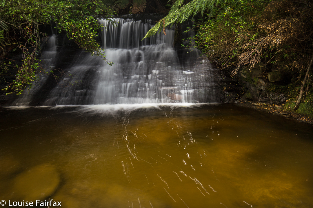
Honor Cascades Dec 2016.
Apparently the Honor Falls are 30-40 metres in height. It’s a pity I didn’t read that before I left home. But then, I really didn’t do anything much right today, so why spoil a good run? I did get the parking spot right – that almost blemishes my record.

We headed south from Exton on a road that then entered Bogan territory (to become Bogan Road). I wanted a spot shortly after Bogan Gap, where the continuation crossed Bluff Creek, emanating from Quamby Bluff. However, near Quamby Corner, we came to a Road Closed sign along our southern trajectory, so changed to the A5 (Lakes Highway), heading south to take a left going towards Liffey Falls. Where this road forked left to Liffey (C513) and right to the falls was another Road Closed sign, but, WOW, not for us, only for the poor hapless tourists (quite a lot of them) trying to get to one of Tasmania’s premier tourist attractions, but cut out because no one can repair a hole. We smugly turned left.
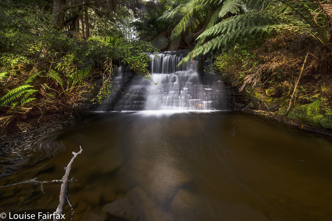
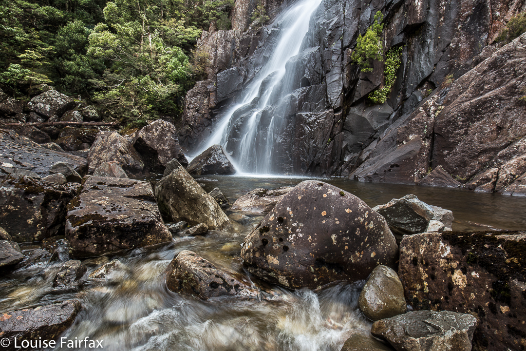
There were no further mishaps. Down where the road divides again, with the C504 going off, there was the creek and bridge I wanted. I parked just over the bridge, where I had always intended to park, even if this journey had now taken twice the time that Google had said. Hey, this was still better than sitting in bed sick all day with a temperature, which has been my lot for the last four days. The instructions I had read said the falls were a very short distance from the bridge directly behind me. I could already hear water, so dropped down to see the lovely waterfall pictured above and below.

Not Honor Falls. These are Honor Cascades. Please excuse the American spelling, which I hate – but it’s official. Why????

Now, when I run a temperature, I get pretty dizzy and unsteady on my feet. Today, at last, I was over the temperature, but I sure didn’t feel steady once I started negotiating obstacles in the bush. I hardly had to go any distance at all (maybe fifteen metres), but felt decidedly unconfident. Down by the water’s edge, a tree had fallen. I tried to tread on its roots, but the soil held together by them came out with the pressure of my foot, which slipped to the waters below. My camera gear slumped forward, getting dusty, obscuring vision. I poked out more soil and tried again. Good; first obstacle  mastered. Now I had to walk along said tree (with a dangerous drop of at least 20 cms into the gentle waters below). I only had to take one or two balanced steps along here until there was a branch I could hold onto, but regarded this as a challenge under these circumstances. My camera, tripod and filters were swaying uncontrollably; I felt absurdly clumsy. Amazingly, I didn’t fall, and, holding onto the upward-growing branch, managed to swivel myself into a position from which I could take some shots. I set up. My dog came to join me. She fell down the unstable embankment, landing in the waters and muddying them up for me. Thanks Tessy.

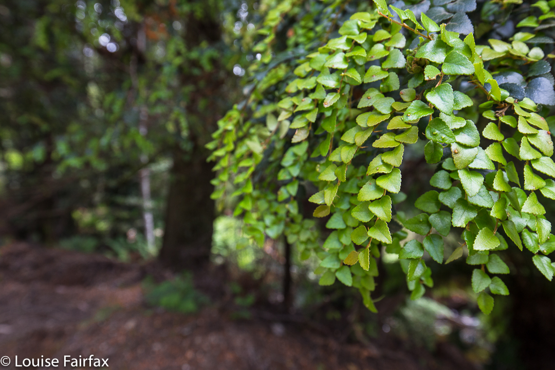
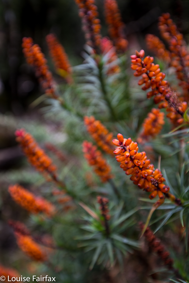
Young myrtle leaves to brighten my day.
My fancy Lee circular polarising filter wouldn’t screw into its housing, but apart from that, shooting went alright. (Pity I like to shoot falls with a polariser on). I didn’t even drop my little stopper in the water.

On leaving, I saw a tiny track that continued onwards, so set about exploring it (having sent husband and dog off on a walk along the road). There was an enormous amount of flood debris along what was obviously once a pad. Inept, as with my earlier efforts, I climbed with enormous difficulty – realising I also had absolutely zero strength in my legs, a most odd feeling – over and under obstacles until I got to two other cascades. They were nice, but camouflaged by too many fallen trees and dumped logs to be at their best at present. At this point I gave up, deciding I had, indeed, seen Honor Falls. I got home to read there are three cascades before the falls, and the falls are very big. Oh well. My honour is destroyed; I did see that, but I did’t see Honor Falls.
Luckily, Upside-down berry and rhubarb cake at the Raspberry Farm was everything I expected of it. AND we have explored another little corner of Tasmania, of whose existence I had been completely unaware. In addition, we were offered all sorts of interesting angles on Quamby Bluff in our travels.

Havelock Falls 2016 Dec

Havelock Falls.

Impossible picture: Havelock Falls

The Waterfalls of Tasmania web, http://waterfallsoftasmania.com.au (a site that I use frequently with pleasure), writes that Havelock Falls can only be seen from a distance, about 500 metres from the waterfall. Furthermore, it is stated, that “[d]ue to its location deep into a canyon, it is impossible to get close to this waterfall. It is also very difficult to get a clear view of the waterfall.” I had read and imbibed this information, so was thrilled that a group of friends I walk with occasionally were setting out on a quest for the base of this elusive beauty. I was hoping to get a little wet from her splash. I don’t like to be restricted to viewing waterfalls from a distance, and above.

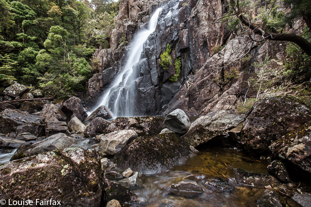
Havelock Falls: Close enough to be splashed

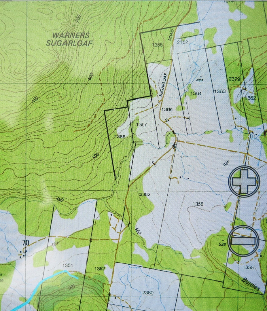
The route we were to follow was a Phil Dawson-John Tabor extravaganza. Phil had in mind a route up from the bottom from a road that emanated from an offshoot of the main road through Jackies Marsh (Sugarloaf Rd – see map below), climbing to a contour of roughly equivalent height to the gorge base, and then traversing in from there. Meanwhile, as a backstop, John had discovered a route in from above, which we would resort to if needed. Either way, we would definitely reach our quest.


Lunch by the river, with Myrtles, plus King Billy and Celery Top pines (the latter IN FLOWER).

Luckily, Phil likes early starts, so at 7.30 we were underway. We would need many of the apparently extravagant allocation of hours available – although part of this was because of injuries, and not all due to the tricky nature of the terrain.

I had very twitchy fingers at lunchtime 🙂

Early on, we marvelled at the way the floods had achieved a huge indentation of weathering, carving in their force a new, deeply-banked creek and leaving the old Donaldsons Rivulet (on which these, and also Warners, Falls are situated) more or less small and intact. After the double creek crossing (single on the return, as we were lower down), we located an old logging road, now a little tricky to follow as nature has reclaimed its own. Often the only sign of it was in scattered tree stumps, legacy of its early use. Up, up we climbed, through beautiful forest, but yet again, I have got ahead of myself. Unfortunately, down below one of our party twisted his knee, and very generously agreed to just sit and wait for us. It was to be a VERY long wait.

This is what we rock hopped along

When we were roughly on the right contour for traversing into the gully, Phil looked at the nature of the scrub and the number of closely amassed contours leading into the gorge and decided that climbing up and over would be a better bet. I really like this decision, as the forest grew even more beautiful, if that’s possible, in the final sections before the plateau, and second, it meant I got to see what it was like right on top. In addition, we were saved an ugly scrub bash and a possibly cliff-ridden trip into the gorge. While waiting a bit for the others, Phil explained to me that this was Cloud Forest, forest in which a great deal of water comes from clouds, leading to the situation that moss grows on all sides of trees and rocks, and not just on the side exposed to rain and water-laden winds (NE here).


My old friend, Richea scoparia.
On top, there was a fabulous sense of space as we trod through alpine meadows, nodding hello to a few pointless peaks before dropping down to the upper reaches of the Donaldsons Rivulet on John’s track. From here we got a brief glimpse of Warners Falls, but we were trying to be quick, so didn’t waste what we didn’t have by visiting them. Instead, we bypassed them up high until we reached the gully we wanted (past the spur you’d normally take to Havelock Falls for your restricted view as above), and dropped very, very steeply into the gorge to come face to face with our beauty. I made sure I got a little splashed as I photographed and later ate my lunch.

More of our rock hopping territory. It was unbelievably beautiful.
Let me return to this word “impossible”. For whom? Certainly, it would be impossible for most tourist types, or even average walkers. However, one member of our group will be 79 next birthday. In fairness, ‘though, I must hasten to add that this guy is a total legend, and a past climber of excellence who has kept himself fit and agile. I would NOT be planning to take grandad there if I were you!!!! We had a second injury after lunch – just a slide and bump on the rocks that shocked the slipper, and more than probably still hurts; it was a reminder that this was a pretty treacherous area and we needed to take care.

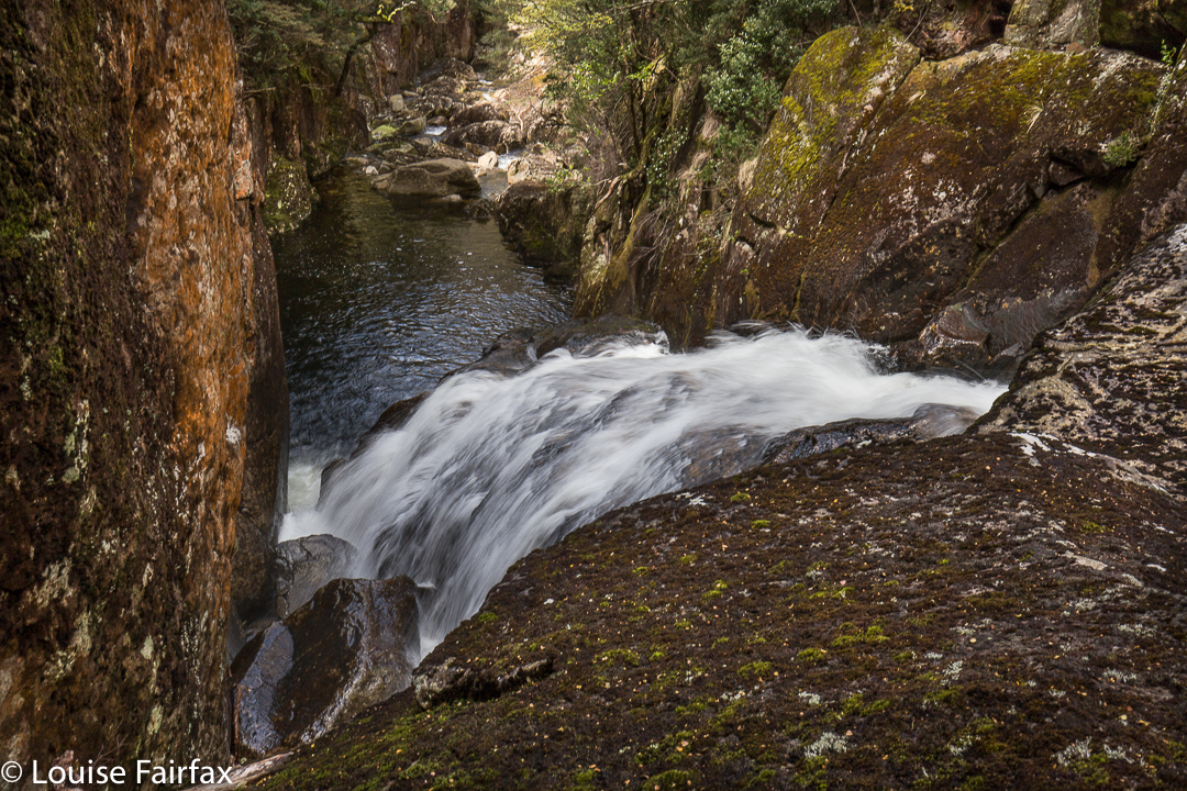
This is one waterfall (unnamed) that we did have to see from above, as we were hurrying to try to get back to our injured extra member, so didn’t have time to try to find a way down here for a “bottom view” … if one is to be had at all. As you can see, the sides are just a little steep.

After lunch and many photographs, we continued rock hopping down the river, seeing maybe what has not been seen before … or, if it has, only very, very rarely: gorges and more, unnamed falls of great beauty. Once things got excessively steep and cliffy, we climbed up the steep banks and bushbashed our way back until we met our original track. I loved every minute of this walk.

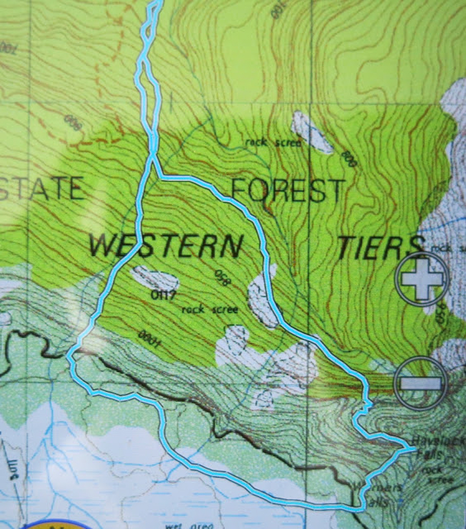
Detail of the ‘business end’ of our route (1:25,000). You will see the circuitous path we had to take downstream of the falls on the route home, following the weavings of the gorge.
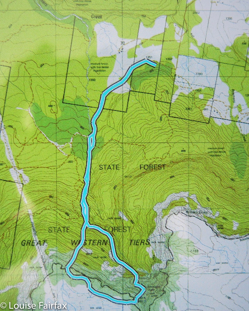
 An overview of the whole route
The cyan line begins our walking route. You can see from this map Sugarloaf Rd, and how to therefore get to our start.