Eastern Arthurs 2016 ii Federation Peak attempt and East Portal

Eastern Arthurs II. Federation Peak attempt and East Portal.     A personal perspective.

The big one of the Eastern Arthurs, yea, of Tasmania: Federation Peak. Gulp. It’s not the highest, but it is the biggest in stature and in everyone’s minds. Summit day dawned: a white-out. Start time was put back for at least an hour … or more. Whatever it took to give visibility. The air was cold and damp and we appreciated the extra time in our cozy, warm sleeping bags, chatting across the tent space. We’d all eaten and were ready to pull down the tents in minimum time when it became appropriate. I wasn’t impatient. It was not suitable to climb in this.
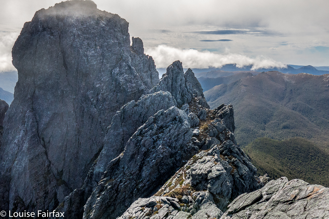
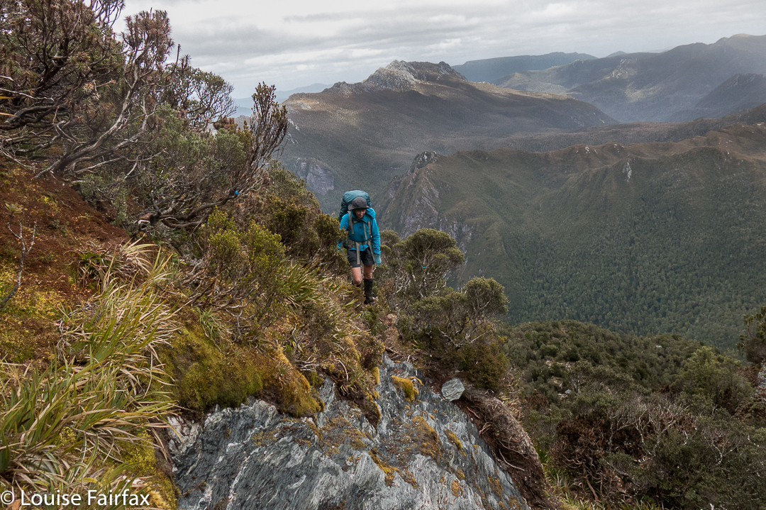
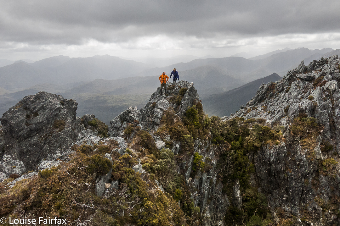
Federation Peak, all close and personal.

The call to move came to me like a call for battle. So. This was it. Here was our destiny, which, in a worst case scenario, could be our death. You fall on a certain section of this rock face, and you die. Damit basta. This was, contrary to my original understanding, to be a ropeless climb. No one told me that the rope we were bringing was not for humans, and I had made assumptions. However, had I known, I would still be here, exactly where I was, waiting to see what could be seen; waiting to experience whatever it was that lay directly ahead.
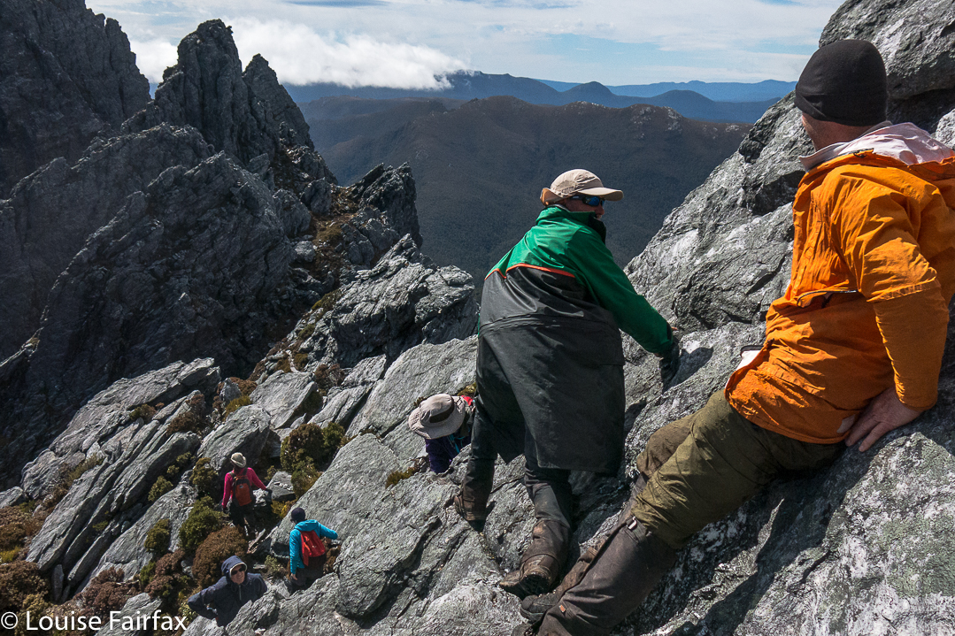
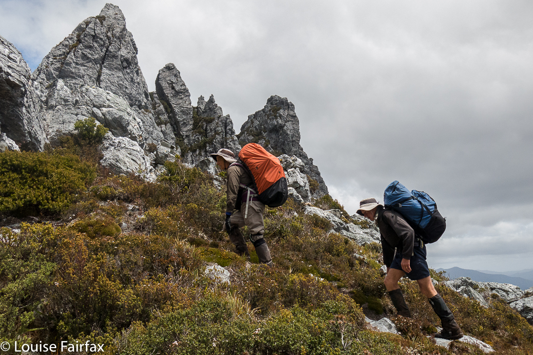
Cautious movement along the Southern Traverse.

There is no intended blame here. If you don’t know how to tie the right knots, attach a rope properly to a fixture and belay with correct technique, then it is utterly inappropriate to have the responsibility of doing it in a situation such as this thrust upon you. I am merely saying that the absence of this safety net altered my attitude to the climb that lay ahead.
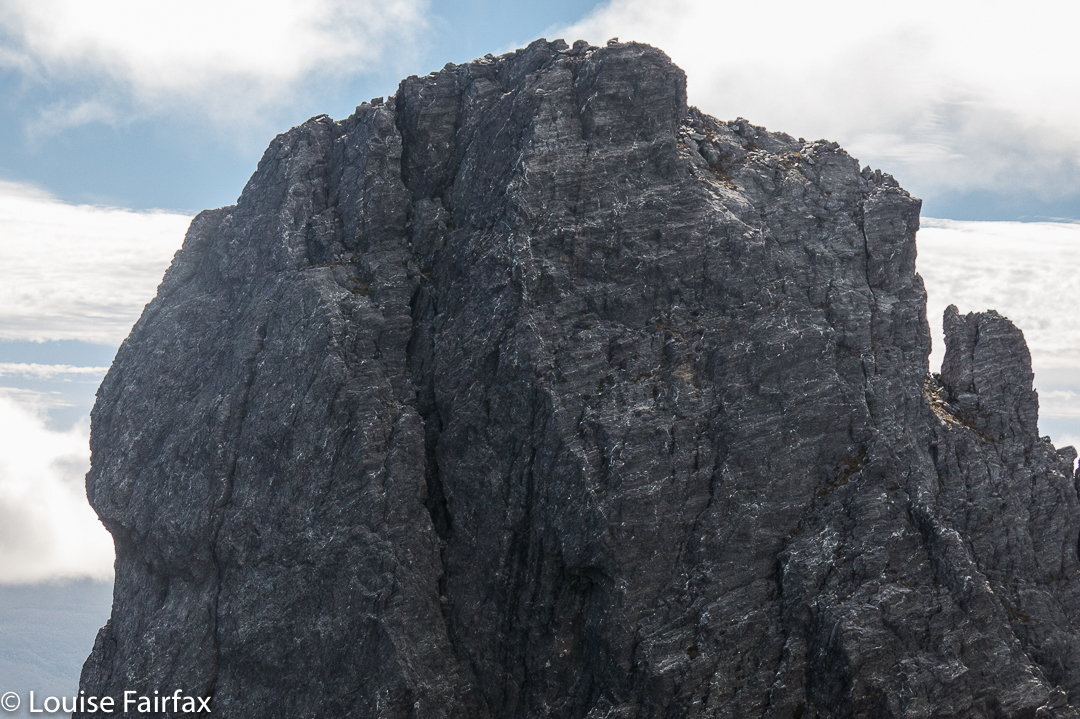
Cute, isn’t she.
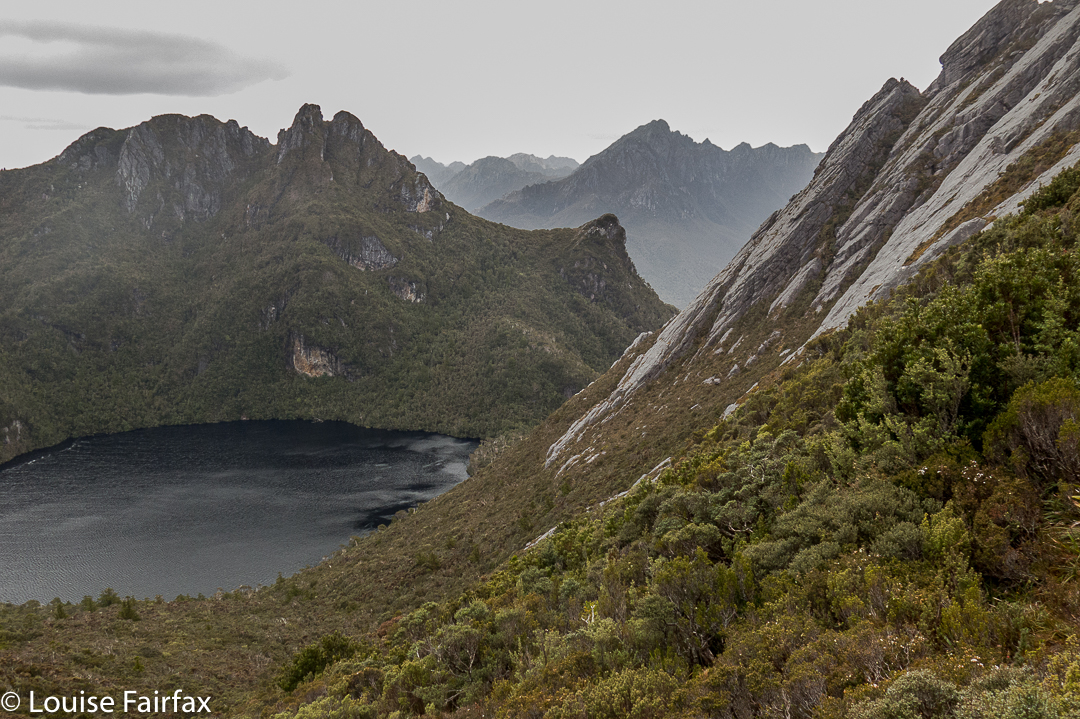
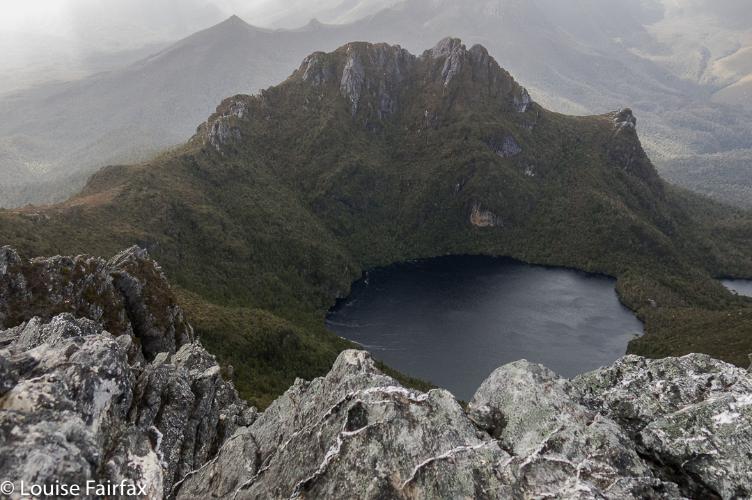
On we pressed, negotiating our way along the famous (or, infamous, considering the recent death on it) Southern Traverse. In this section, I was actually enjoying the dramatic drops down to the lake several hundred metres below, as there was at least 30 cms of ledge, and that’s plenty for me to be comfy. I was wondering which was the section where the girl fell to her death, but didn’t like to ask.

Eventually, however, we reached a sloped section where a fall would break some minor bone (leg, arm, hip) if you landed badly. You’d be terribly unlucky for anything worse than that, so it was not shatteringly scary, but neither was it a breeze if you enjoy your bones being in one piece, as I do. I realised that for me, any mountain is a prelude to all the ones that will follow, and no one mountain is worth the sacrifice of even a season’s bushwalking, let alone anything worse. The others were being very tentative as they edged themselves down with nothing much to hold on to.
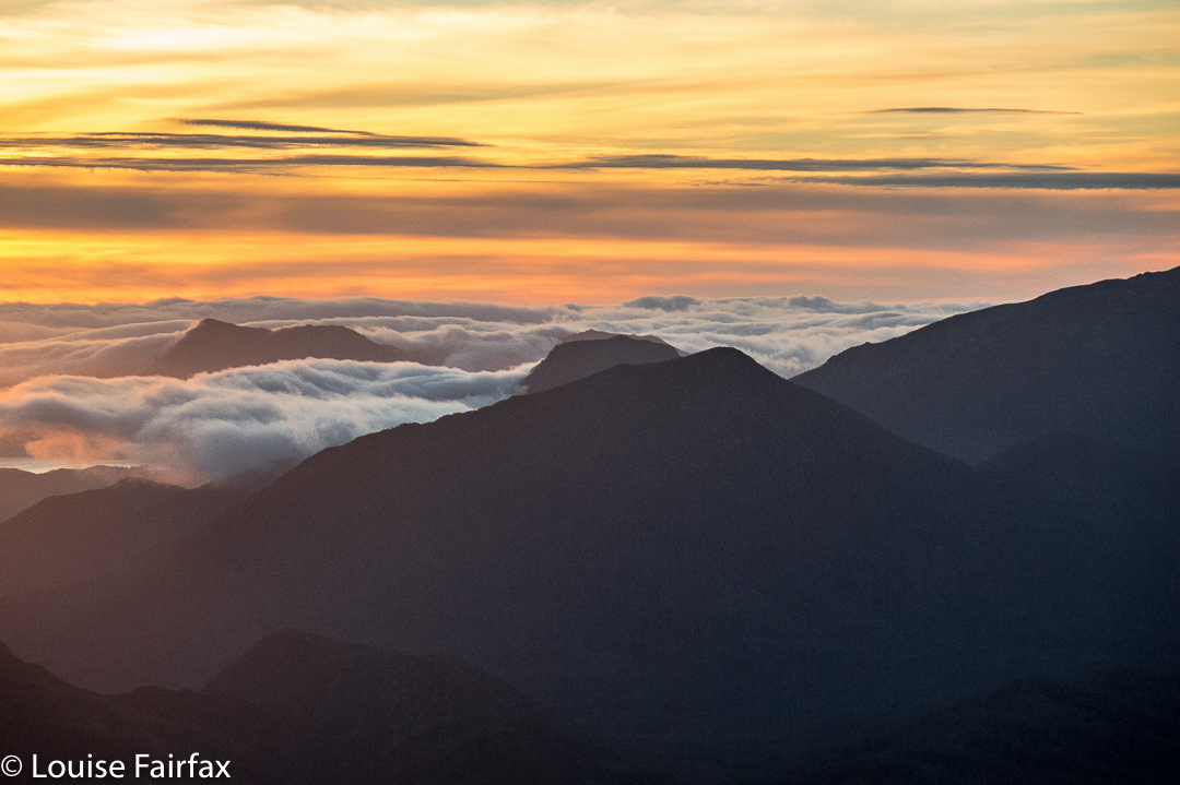
A beautiful sunset the night of our attempt. This trip only offered rare moments of joy, but this sunset was sure one of them!

My foot slipped on the wet rock here. I sized up the slope. I could get down without falling, I figured, but to get back up later, I could possibly need some help in the form of a hand from above or a shove from below. I didn’t like the idea of attempting it solo. I also knew in that single moment of slippage that there was no way I was going to trust the rock on the dangerous section that day. This bit was only an appetiser for the main meal. I considered my options. If I backed out now, I could easily return to other, interesting zones and have some fun while I waited for the others, but if I proceeded beyond this point, I’d be a prisoner, possibly bored and cold, playing what could be a very long waiting game. Snap decision. I announced my withdrawal. The leader nodded and on went the group. I perched there, watching for a short while, not particularly sad as I felt I had made the right decision on this day. I will try some other time, when the rock is dry, and when I am in the company of someone who knows how to use rope.
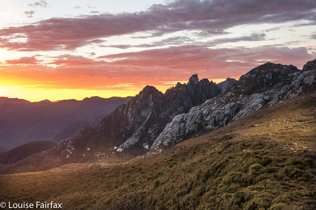
Dawn. Perfect.

I turned, and climbed the first high thing I came to. I had a fantastic view straight across to the face of Feder (where I searched in vain for my friends). My mountain even had a big summit cairn. Is this mountain ‘Consolation Feder’, I wondered. I tried to phone my family to tell them any danger was behind me. My youngest darling was the only one to answer. She whooped with delight when I told her I was safe and would remain so. Her joy made me happy.
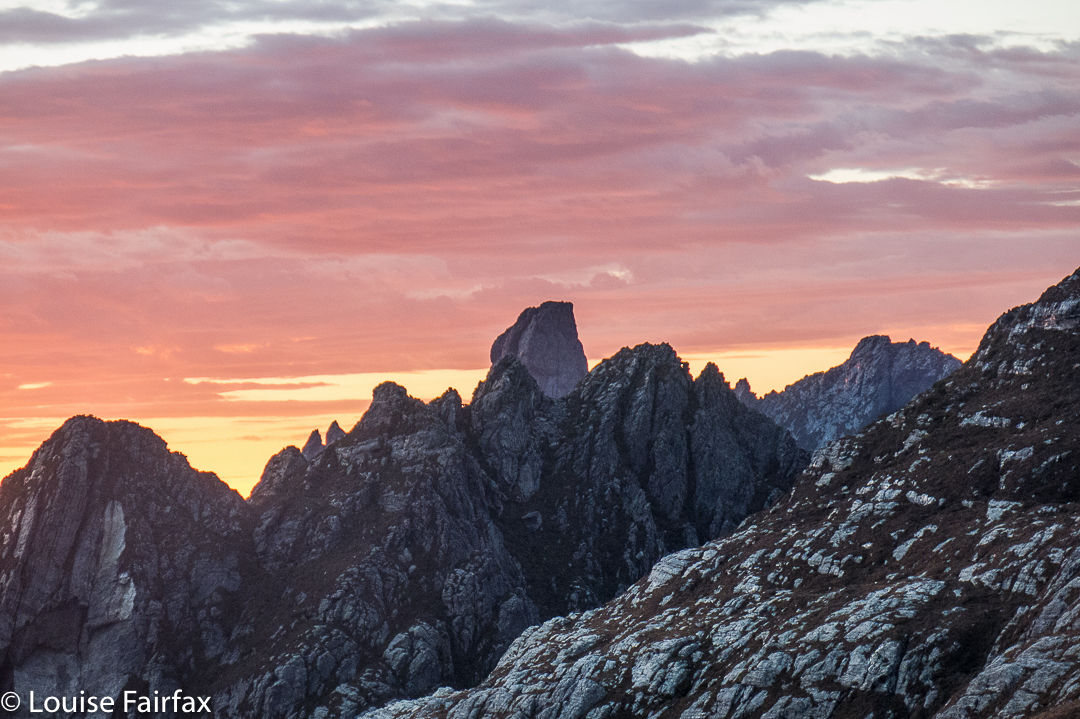
How can you order a morning like this? Feder towering above her neighbours and a pink sky to grace her beauty.
I filled the remaining time climbing an assortment of lumps and bumps in the area, building tiny cairns for each. (Sorry, but not really, purists who don’t like unnatural things like cairns. I’m no engineer and the wind will probably destroy them over time. They’re quite cute, only three tiny stones high apiece).
The others didn’t get to the summit either. The water was flowing down the chute of the direct ascent and the rock was slippery and dangerous. The following day, the group going in as we came out, carrying ropes and harnesses, did get up, but the leader slipped and fell, landing – miraculously – on a ledge (not the normal scenario) and breaking his leg. The group was helicoptered off the mountain, lucky to all be alive
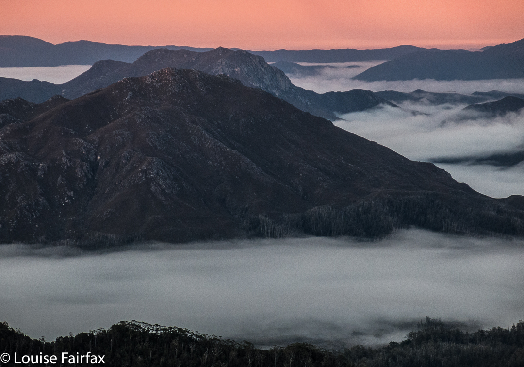
A storm is brewing. I thought of Catherine and her friends due to climb that day.

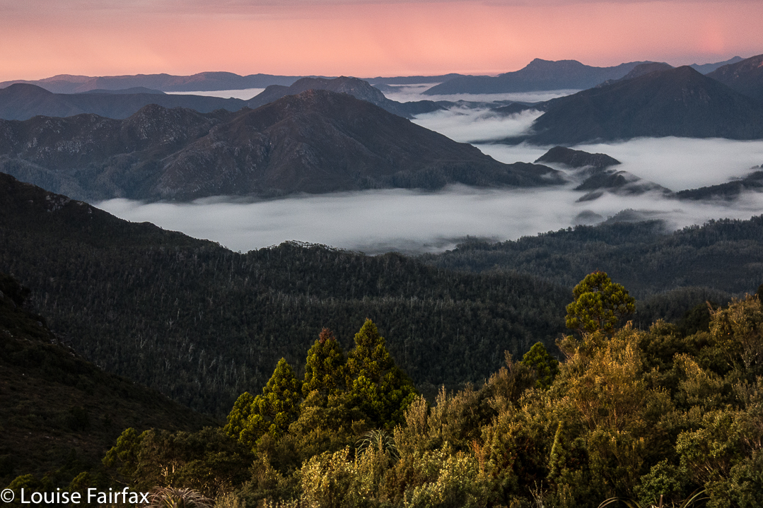
Back we went to Goon Moor, to a camping area I didn’t particularly like but which serves a purpose. Sunrise and sunset from this spot (well, nearby) were stunning. My camera had stopped working that afternoon, but gave one last fling that enabled the photos below before calling it quits. It has a fairly temperamental opening mechanism. I was more grateful than you can imagine to be given this little reprieve. Louise without her camera is in a far worse condition than a smoker without her fags. I relate to the beauty of the wilderness creatively through a lens, even when, as in an expedition such as this, it has to be a compact one. Anything longer than six days, I need to switch to this smaller, lighter camera. At least it shoots in RAW.
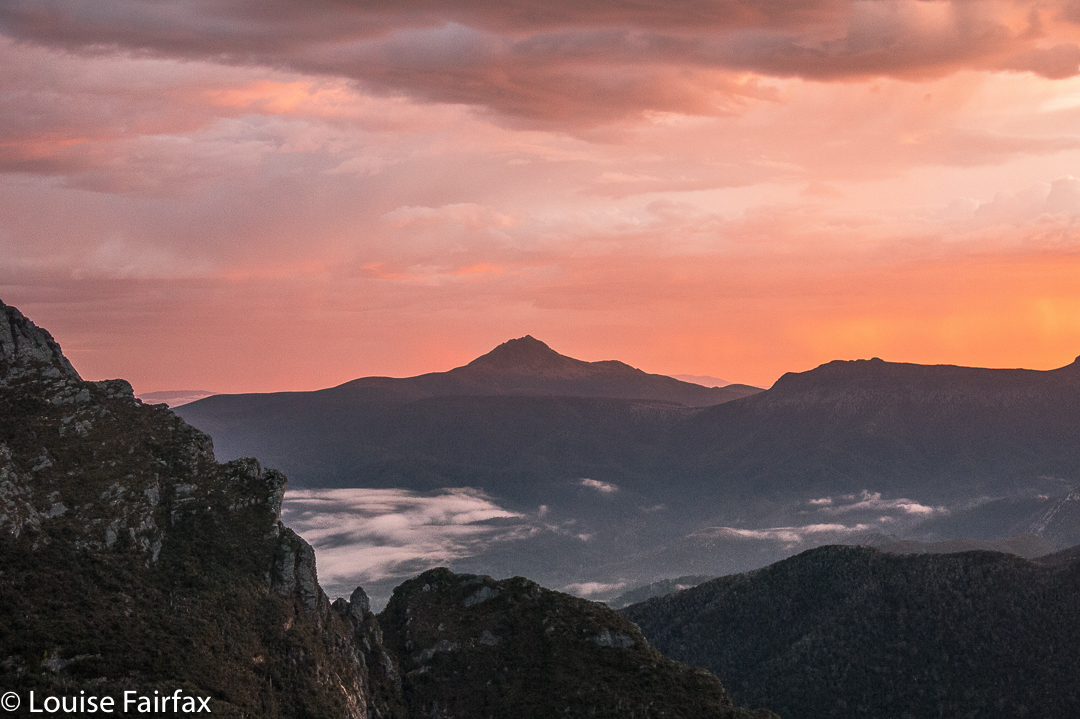
On the final climbing day before the walkout along the plains, we summitted East Portal. Only Angela had done any research on this climb, and she had Chapman’s “wise” words on her phone, viz, that we should follow the rocky ridge around to the summit. This advice is hilarious if you are on the mountain. Short of growing wings, it is useless. We tried left, then right, then left again, further left this second time, down into a chasm and then up, nearer to the ridgeline, but not on it (still to its left). Only at the second last summit of the many points did we get onto what would be the central line of the ridge.
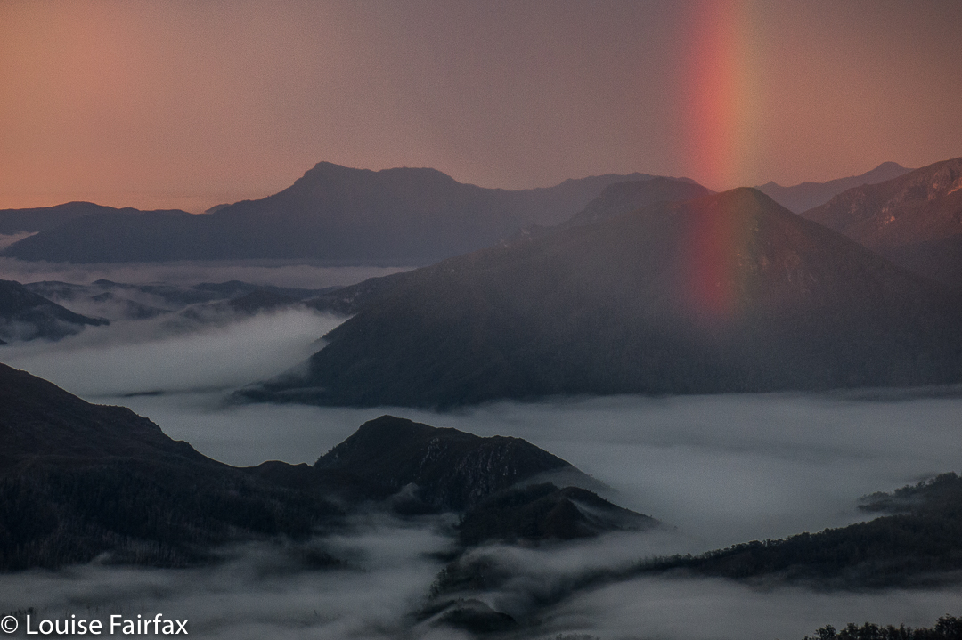
Now. Ahem. How much do you pay to get THIS?? 

The final climb had a narrow-ledged section of hold-your-breath-and-hope (i.e., some exposure), fierce winds at times, and a very narrow summit area, from which being accidentally bumped off was a distinct possibility. We could see nasty weather coming in from the north. We were very businesslike on top: no groupie photos, no visible joy. It was touch the cairn, take a few shots and let’s get out of there before that rain makes the ledge worse. I thought of Catherine on Federation and wondered how the group was going. I thought the fact that I hadn’t seen or heard a helicopter was a good sign. I guess I was concentrating too hard on our own task, or buried deep in shrubbery at the relevant moment when the rescue was being carried out. Maybe the wind drowned out the noise.
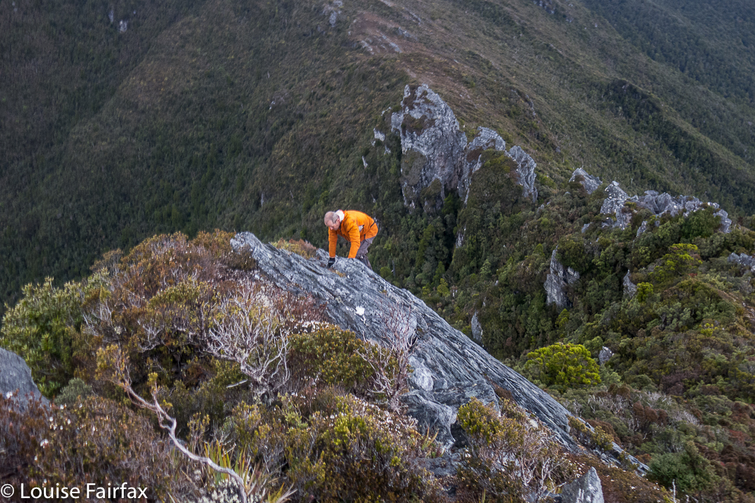
Climbing East Portal
Soon after this ascent, we began the long trip down onto the plains, which marked the commencement of the less-than-thrilling, one-and-a-half days’ walk along the flatness to exit the area. My feet had been wet for a week, and had gone soft and tender and mushy. Big blisters were starting to form underneath. It was SO good to finish and take those wretched boots off.

I ate like Miss Piggy at the Possum Shed, delighting in food that had a recognisable taste, and revelling in cappuccino and home-made cake.
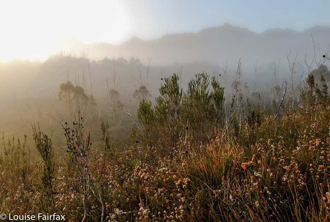
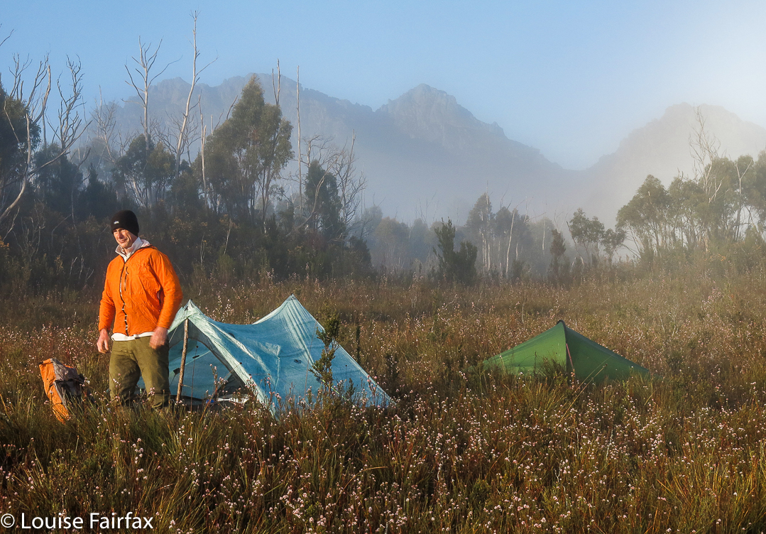
Over the next couple of days, I enjoyed our garden and the small things of life with greater intensity, as if I’d been given life anew. I hadn’t had a brush with death, but even its vague possibility makes you appreciative of all the countless fabulous things that make up life when all is going well. Federation will wait for me if and when I get back with some good weather and a rope.

Eastern Arthurs 2016 i Needles and Geeves Bluff

Eastern Arthurs part 1: The Needles and Geeves Bluff.

The Eastern Arthurs connote wild, remote beauty; beyond that, I wasn’t quite sure what to expect, but I was looking forward to seeing and experiencing whatever it was that lay ahead. I hoped to climb Federation Peak, although didn’t have my heart set on it, and unequivocally wanted to climb The Needles, (an Abel as yet unclimbed). That, I thought, should be a pretty definite possibility. Apart from that, great views and that special feeling fostered by deep wilderness lay on the agenda.

On the first day, we began after lunch and no one seemed in a hurry, so we didn’t make violent distance before calling it a day, and pitching our tents on a broad spur just past Two Mile Creek. We were rewarded next morning by scenes as in the two photos above. One of the features of bushwalking in the wilderness that I love best is precisely that ability to say, “Let’s camp here”, and just drop your bundle and pitch your little tent with views to die for.
On this occasion, however, doing that delightful thing had the downside that it meant a bigger-than-expected second day across the hot plains that left some of our members rather exhausted. We developed the cute habit of leaving two members behind at every campsite for a while after this. Eleven became nine by the time we arrived at Goon Moor for the third night. But I have jumped ahead. First we need to leave the plains, pretty as they are in the pictures of our first night in the above two photos, and climb up onto the range.

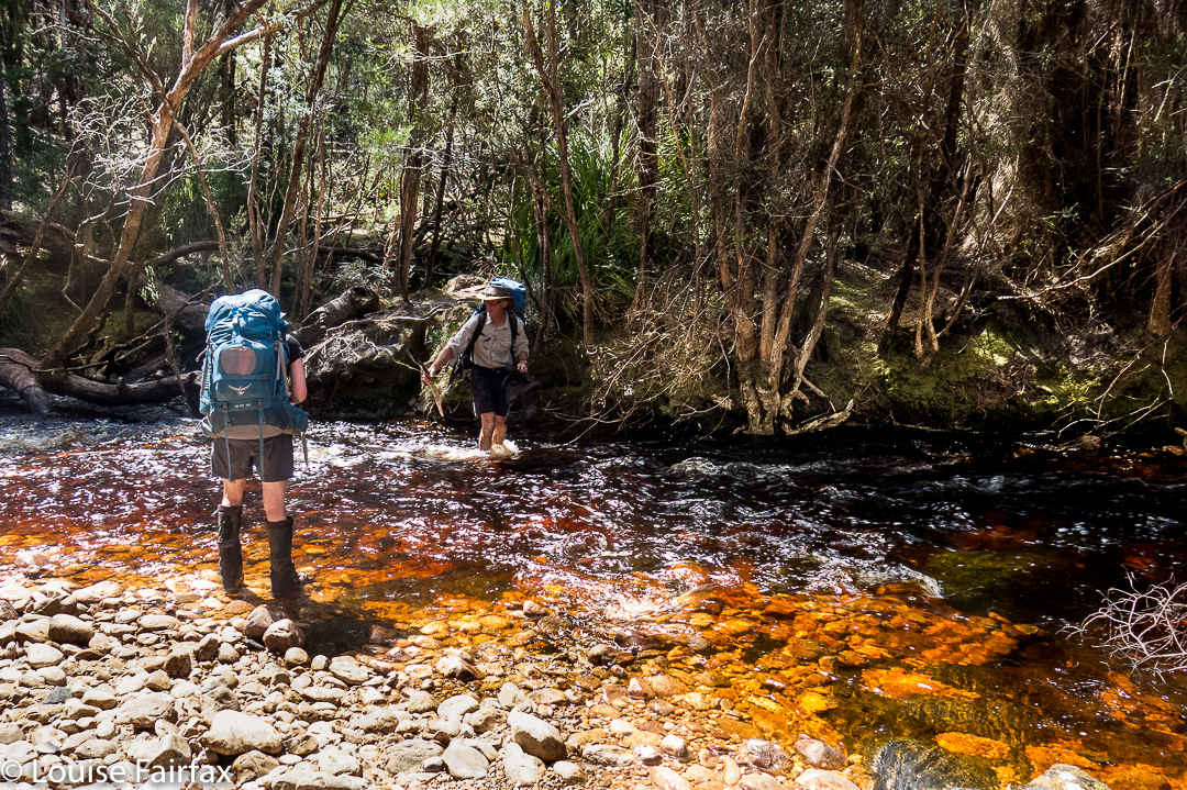
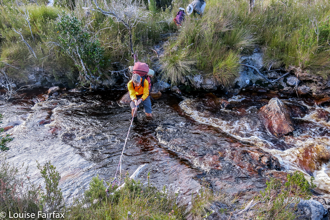
The above two photos are of some of the creek crossings before we began climbing. As you can see, water levels were high but not at all dangerous – and there was plenty of deep mud in case you’re wondering. Legs, clothes, gaiters and boots were all sodden and filthy by the first night, and remained so for the eight days we were there. Most of us stoically donned wet socks again each morning. Some optimists changed to dry ones, to have them generously receive the gift of water from the wet boots not long after. It felt good while it lasted.

After Pass Creek (our second campsite), we climbed up onto the range via Luckmans Lead, on a route that takes you past a rock formation called the Boiler Plates. Above, you can see the group about to pass through what I call Boiler Plates saddle. As you climb, the Plates are up and to your left. At the mini saddle, you swing left to skirt along their backside.

On the far right of this photo, you can see the backside of the Boiler Plates. Below left is Lake Leo, and behind, the famous East Portal, object of our quest on the return journey. For now, however, we are intent on reaching the campsite from which we will make our attempt on Federation Peak, viz, Hanging lake, so will not spend time or energy on longer, distracting climbs, although we did do a few smaller ones en route.

Kathy and Tony climbing as we make our way to the Stuart Saddle. Those are The Needles above, which several of us will climb after lunch.Angela, climbing towards the saddle at which we will dump our packs before climbing The Needles.

Dale and Wayne coming along the route that we later abandoned due to its dramatic plunge between two Needles. I’m glad we climbed these lesser Needles as well, as the views were fabulous.

The Louise that took the picture above was a very happy one. We had dropped our packs in the saddle suggested by the Abels book, and now were on our way to the summit of The Needles. However, this route involved a descent between some of the Needles that several members of the group were not comfortable with, so we actually ended up returning to the saddle and going back down the track until we were just short of being underneath the Needle that constitutes the summit. Even from here, the climb was not without its challenges.

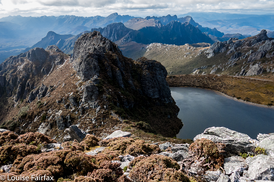
The Needles, summit view. We are looking at Lake Leo and East Portal below.

Wayne, Angela and Dale went right of a rocky spur that gave them a route that was very steep and felt a bit loose in places. I went left of this spur, followed by courageous Kathy. Our route was great except for the final lunge for the summit, where we were clinging to minuscule pieces of rock with a very daring and not exactly pleasant drop straight into the  lake below. I concentrated on clinging to rock and tried not to see what was in my peripheral vision. Kathy says she is scared of heights, so I was very proud of her when she emerged onto the summit space having dared that route too. I was NOT looking forward to climbing back down that way, so was greatly relieved to discover that the route the others had taken didn’t involve exposure of that nature. We all went down their route.

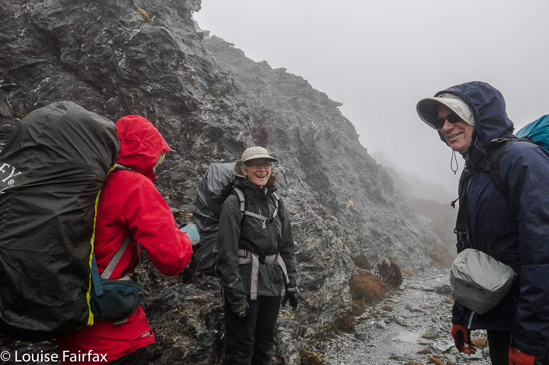
Having a breather climbing the Four Peaks. Rain does not seem to be dampening our spirits.

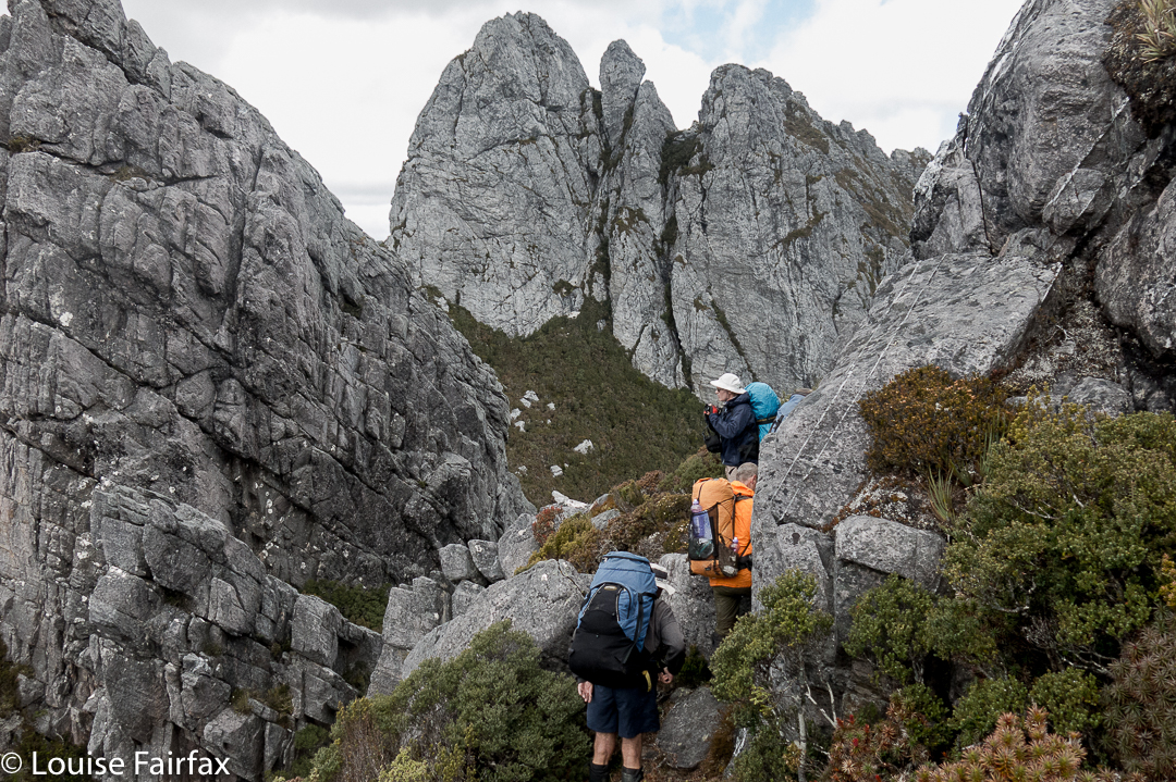
On day four, we climbed around the Four Peaks, trying to get past the many and varied obstacles before reaching Hanging Lake. We have now left two more members behind to climb other things, so are reduced to being a team of seven. We had to pack haul on three occasions on this route, more because we could not squeeze ‘human plus big pack’ in the space provided than because we needed to get clear of the weight. There just wasn’t enough space to fit us.

Geeves Bluff, view

After we arrived at Hanging Lake, several of us climbed Geeves Bluff. Here is one of the many views on offer from the summit. Wayne and Dale were busy making telephone calls on top. I tried to join in the fun, only to discover that my phone had accidentally been bumped on, and was now nearly out of battery. I never found a spot from which I could send a message to say I was still alive, so gave up. Such a message, if I could send it at all, would have to wait for tomorrow, the day on which we hoped to climb Feder. The forecast seemed good – early mist but then clearing. Hopefully conditions wouldn’t be too wet. Time would tell. This story will be continued next blog. What a tease.

Meadstone Falls 2016 Nov

Meadstone Falls. Waterfall bagging. Nov 2016

Gale force winds, snow to 800ms, driving rain when it wasn’t snowing, my cough was still very bad … this was a good weekend to do some quiet waterfall bagging rather than mountain climbing, and I was excited to see some more of Tasmania’s astonishingly diverse range of falls.

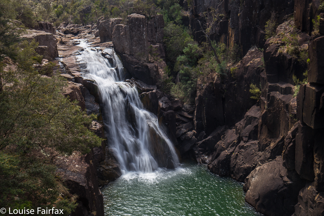
Meadstone Falls.

 I was particularly keen to have a go at Meadstone Falls, the road to which has been advertised as closed for a while now. I had heard that people had got around some of the “Road closed” signs and managed to see these now-elusive falls, so was keen to try my luck. I could’t really tell from any sources how far we’d have to walk, or how long the whole thing would take, so determined to set out as soon as we could after breakfast, and if it ended up 12ks in each direction, so be it.

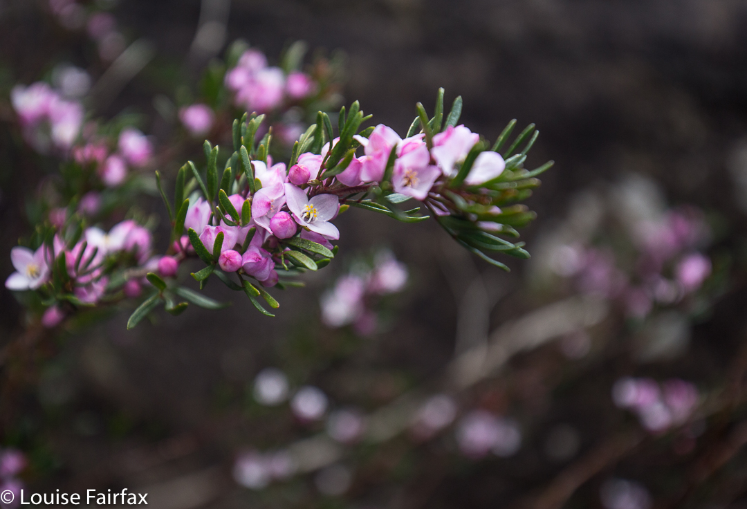
Lots of Boronia.

 I tracked and timed all sections so as to be helpful here in this blog: it was 27 minutes, and 2.4 kms from where we parked the car to the actual carpark you used to use in the good old pre flood days.  (Basically, we headed south from Fingal along Valley Rd, following signs to the falls and ignoring advice that what we were doing was dangerous. Eventually we came to a man-made hump kind of thing across the road just before a bridge. Other adventurous drivers had gone over and around this, but my adventurous spirit disappears when I am in a machine. I parked and we began walking. That is where I started timing and measuring.) There were lots of wildflowers, although not as many as on Thursday when we visited the Lobster Falls. The path was generally attractive. It took us exactly an hour from the car to the Lookout over the falls. The remainder of the track – the sweet, narrow bit – measured 1.6 kms – i.e., we had a nice 8 km round trip, a perfect morning’s jaunt. We made it a bit longer by also going down to the river at another point further along and playing a bit in the pools.

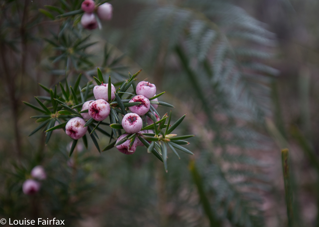
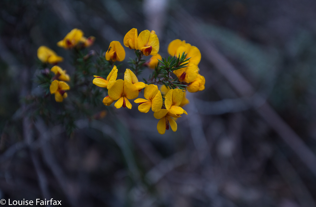
Pultenaea juniperina
The falls lookout is built for VERY tall people. This not-tall person thus had to climb up the wire (very tricky; the diamonds were much too small for my very big boots) in order to get her camera in a wire-free position to photograph. I would personally have thought that forcing that kind of behaviour was a lot more dangerous than having the railing at a height that allowed an unobstructed view of the falls. As a less than tall person, I regard this as a form of discrimination: if you are tall you can take a good photo, but if not, and you want to use long exposure, you have to balance in a perched position and somehow hope to hold your camera steady. The picture above is a 2 sec exposure, without a tripod (as the wire is way taller than a tripod), with me precariously balanced trying to poke boots in strong wire netting that gave no purchase. I reckon wire clippers would come in handy if you like photography.

The other falls we visited were the Ferntree Falls at St Helens, Halls Falls near Pyengana, St Columba Falls not far from there, and Ralph Falls near Ringarooma. I have given each waterfall its own blog to make it easier to find for people searching for only one fall.

St Columba Falls 2016 Nov

St Columba Falls Nov 2016


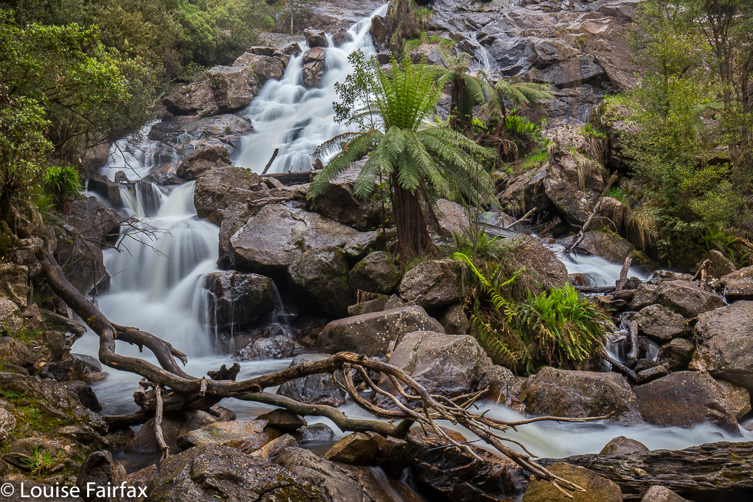
St Columba Falls
We were in the middle of a little waterfall binge, and St Columba Falls were to  be our final falls of the two-day holiday. We prised ourselves away from the Halls Falls and headed off for St Columba.


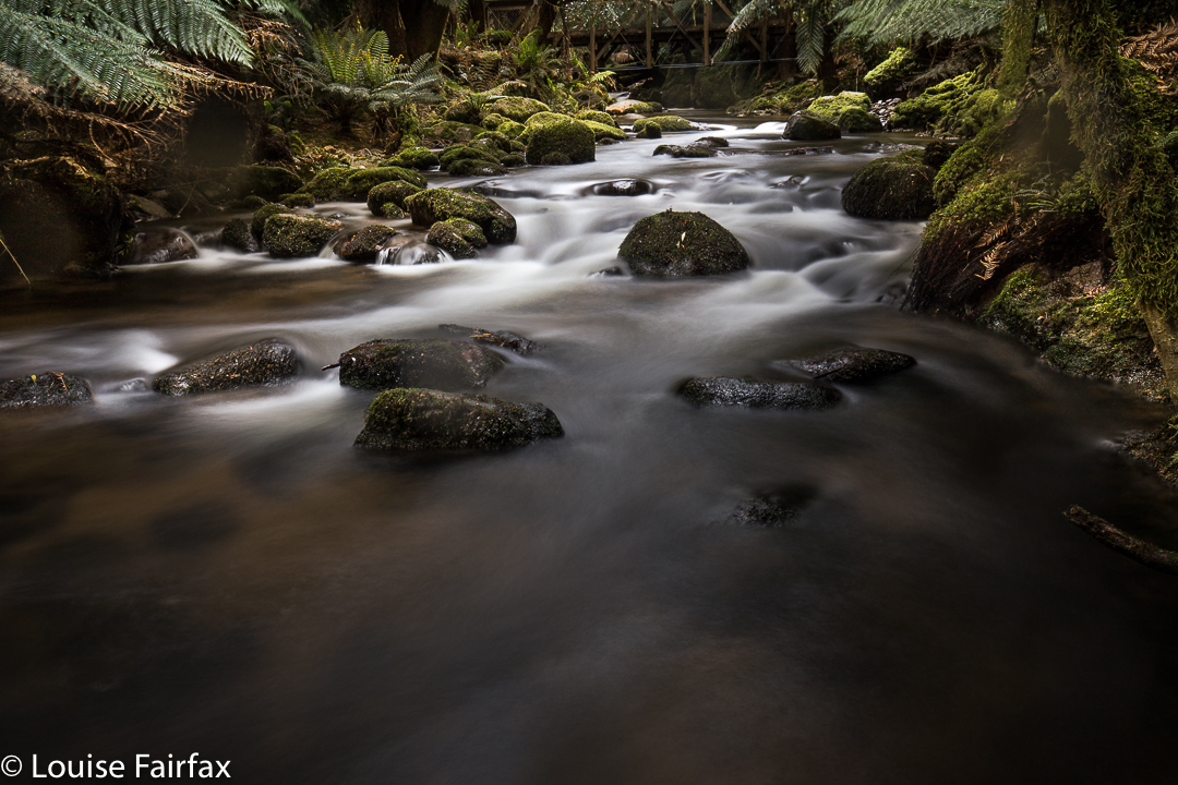
St Columba River, below the falls.
The sun had bothered me when photographing Halls Falls; it had been a bit too bright and posed photographic problems due to the glare. By St Columba Falls, we were back into rain. We are now well-practised at rain! At least it wasn’t teeming like the last time I was there.


St Columba River, below the falls.
The final waterfall for the day was scheduled to be Ralphs Falls, and I dutifully drove there through the gathering rain. By the time we arrived, the thought of walking was very unpleasant, and I knew any photographs would be of white measles. A guy who returned sopping said he couldn’t even see the falls anyway. Done. On we continued to Ringarooma, finding a very nice cafe for cake and coffee – a necessary part of peak or waterfall bagging – in Scottsdale at a Gallery.


Beautiful myrtle forrest near Ralphs Falls.

Halls Falls 2016 Nov

Halls Falls Nov 2016


The Groom River, on the way to Halls Falls, having left St Helens.
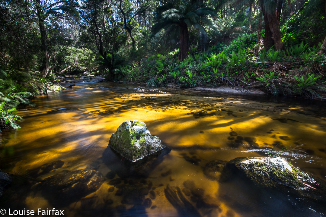
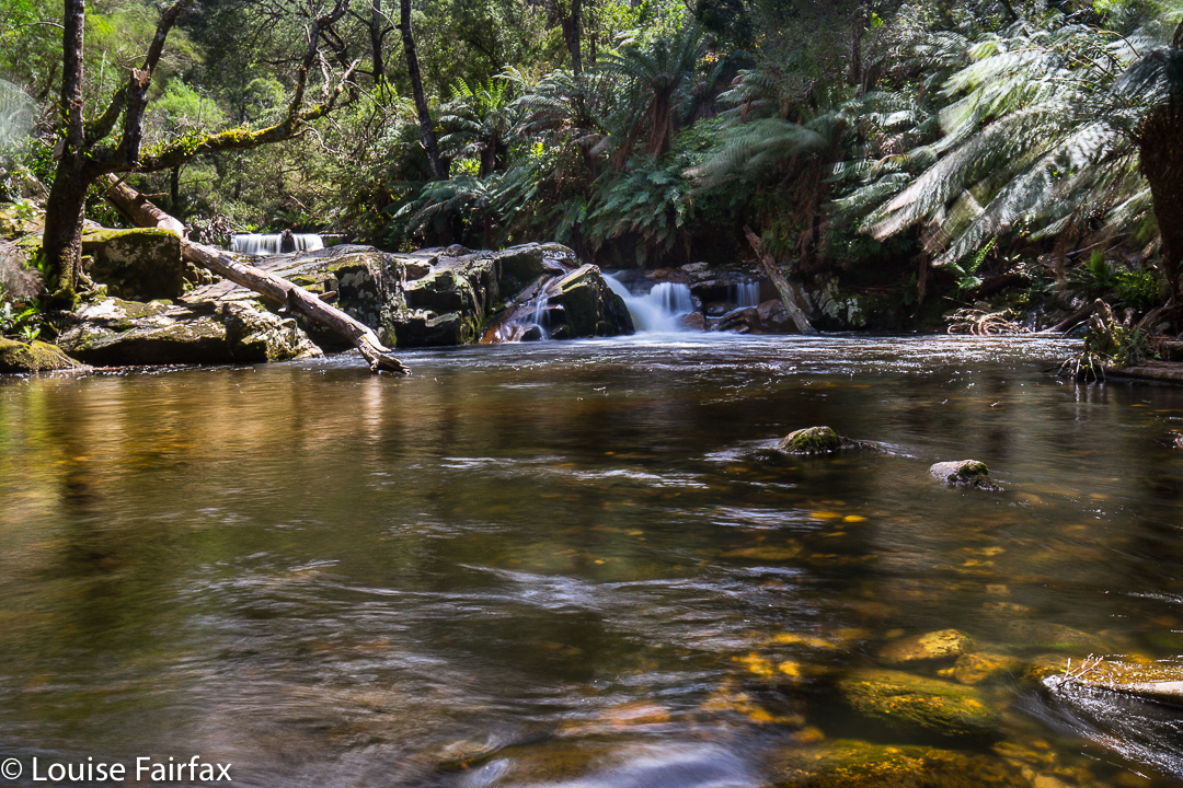
Having been to the Meadstone and Ferntree Falls the previous day, we now drove from St Helens in the direction of Pyengana, intent on the Halls Falls, but were completely distracted by the Groom River en route. We had to brave blackberry bushes to get down to it, but it was so beautiful and tranquil there, and the blackberry bushes were only calf height; it was all well worth it, and we spent quite a while by those amber waters.


Halls Falls
Halls Falls win our vote for this waterfall trip. The sign said to allow an hour for the return trip. We took only 17 minutes to reach the far end BUT we took much more than an hour to do the circuit, as photography and admiring took possibly an hour in their own right, to which you then added 34 mins walking time. We were there so long we had lunch at the falls.
These falls are well signposted and easy to find, being off Anchor Rd which is shortly before Pyengana, approaching from the east.


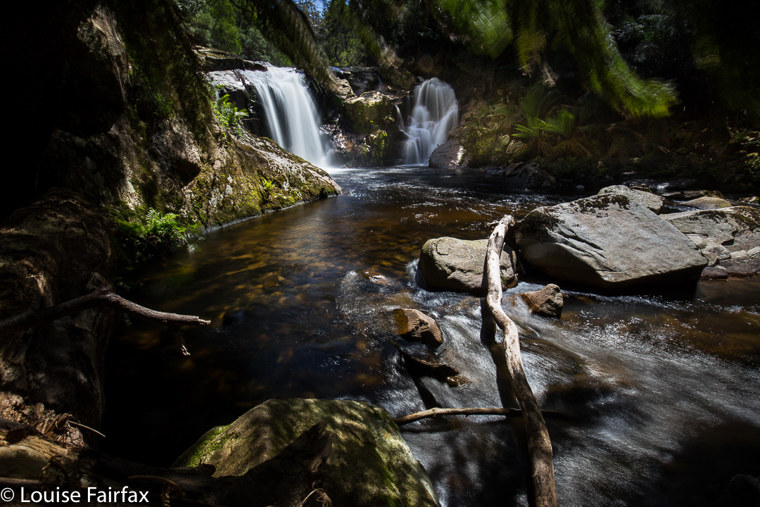
These above are not Halls Falls, but are waterholes above it. The whole area was filled with fabulous places for dipping, paddling, swimming or watching water flow.
Next stop, St Columba Falls. This was a true waterfall binge!