Freycinet, Mt, and Mt Graham 2014 Nov

Mt Freycinet and Mt Graham Nov 2014
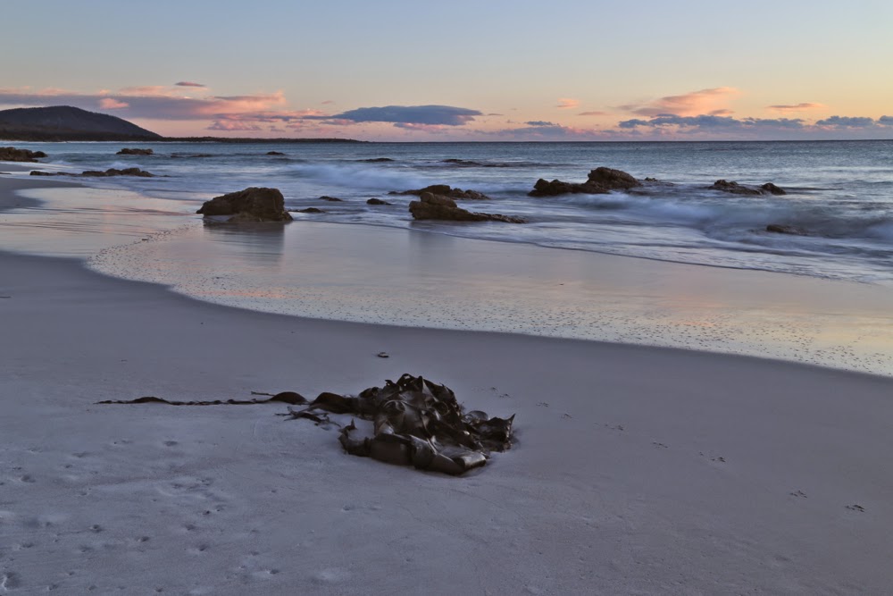
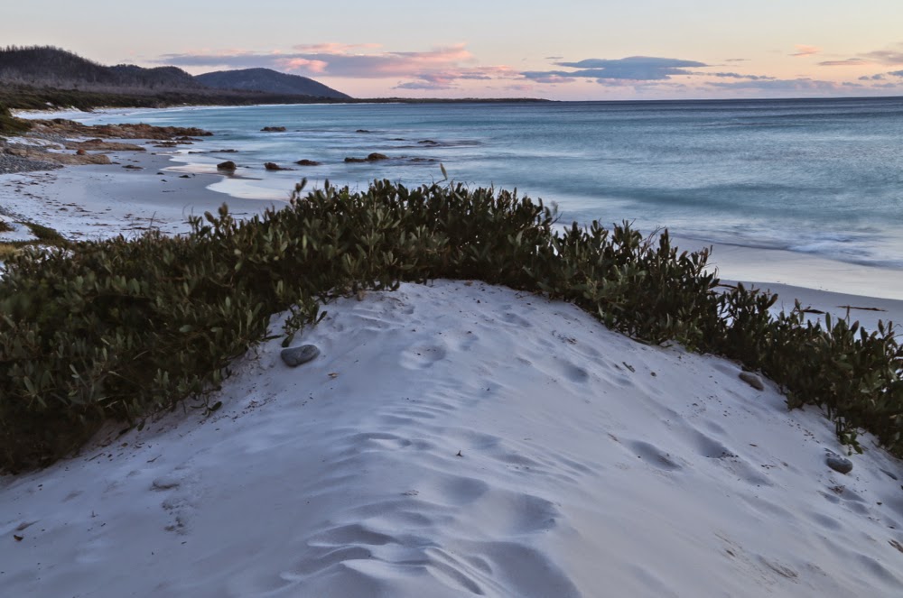
Sunrise, Friendly Beaches
The day for climbing My Freycinet and Mt Graham had a remarkably lazy feel to it right from the start. Sunrise was magnificent, and we were in no hurry to leave the beautiful beach that we’d camped beside. It’s pretty hard not to want to linger longer by pure white sand, aquamarine water and pink sky.
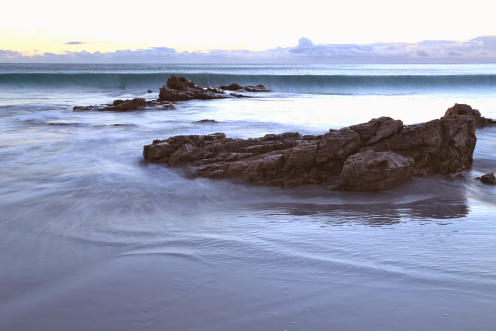
Having climbed Mt Dove (and Mt Amos) the previous day, the four of us were still in a jubilant mood, and looking forward to today’s mountains, even though they offered no particular climbing challenges. Having changed our plans of where to sleep (see yesterday’s posting), we were running about 28 hours late, but that didn’t matter on a day with only two easy mountains on the programme and all day in which to complete them.
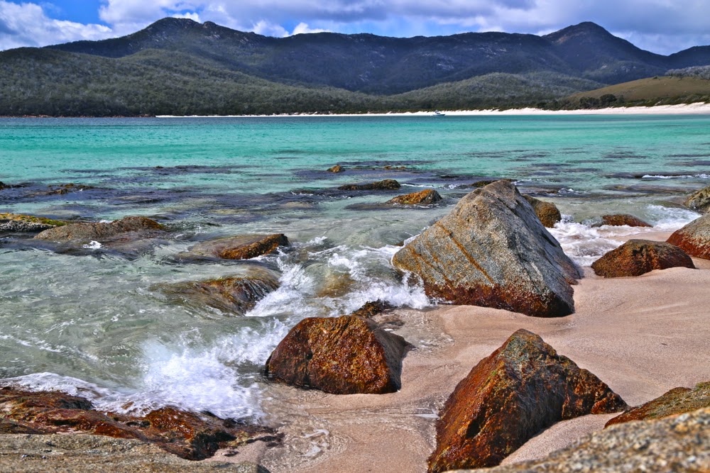
Wineglass Beach

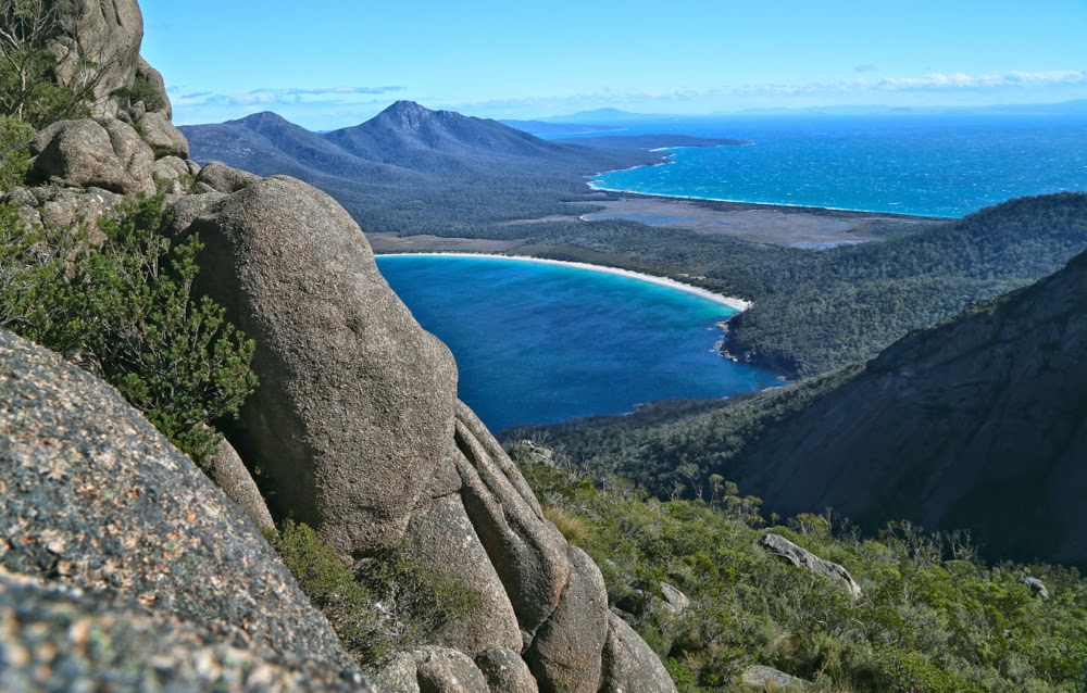
Off we set at last for the Wineglass Bay saddle. Wineglass never palls. A google search tells me that it is consistently rated as one of the top ten beaches of the world – which means that the judges have unexpectedly good taste. It is magic. For the second time in two days, the girls had to pinch themselves to make sure they hadn’t gone to heaven early. You have to spend time at a beach that wonderful, so we stopped at its entrance to have a swim. (No, not me. Anyone who knows me knows I’m too much of a wuss for that. I always photograph the swimmers and mentally join in that way.) We then lengthened contact with the beach by having a slightly early lunch at the other end. The day was long; our goals still easily achievable.
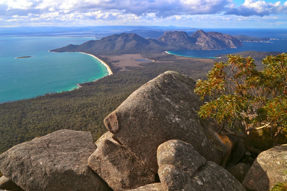
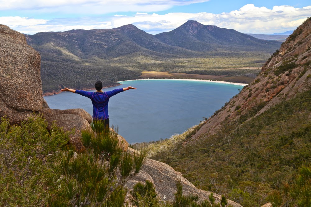
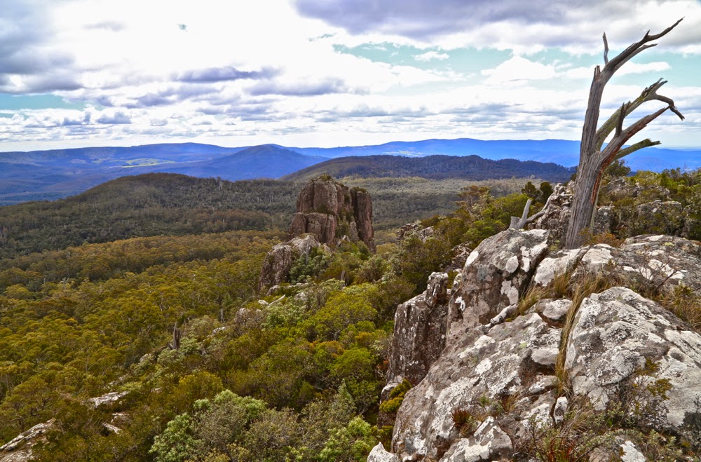
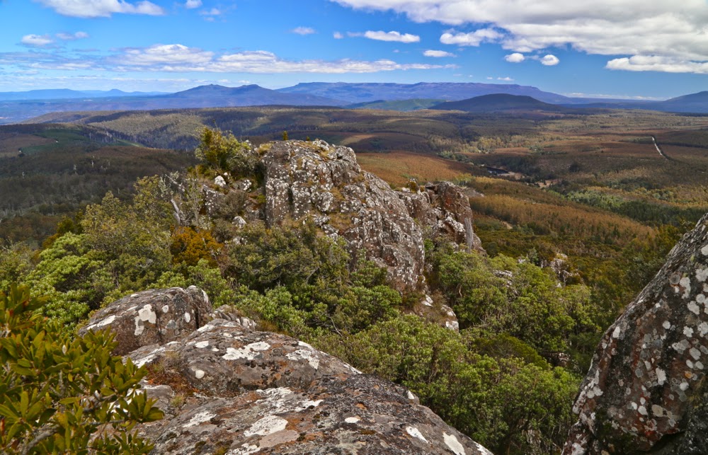
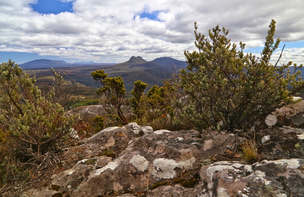
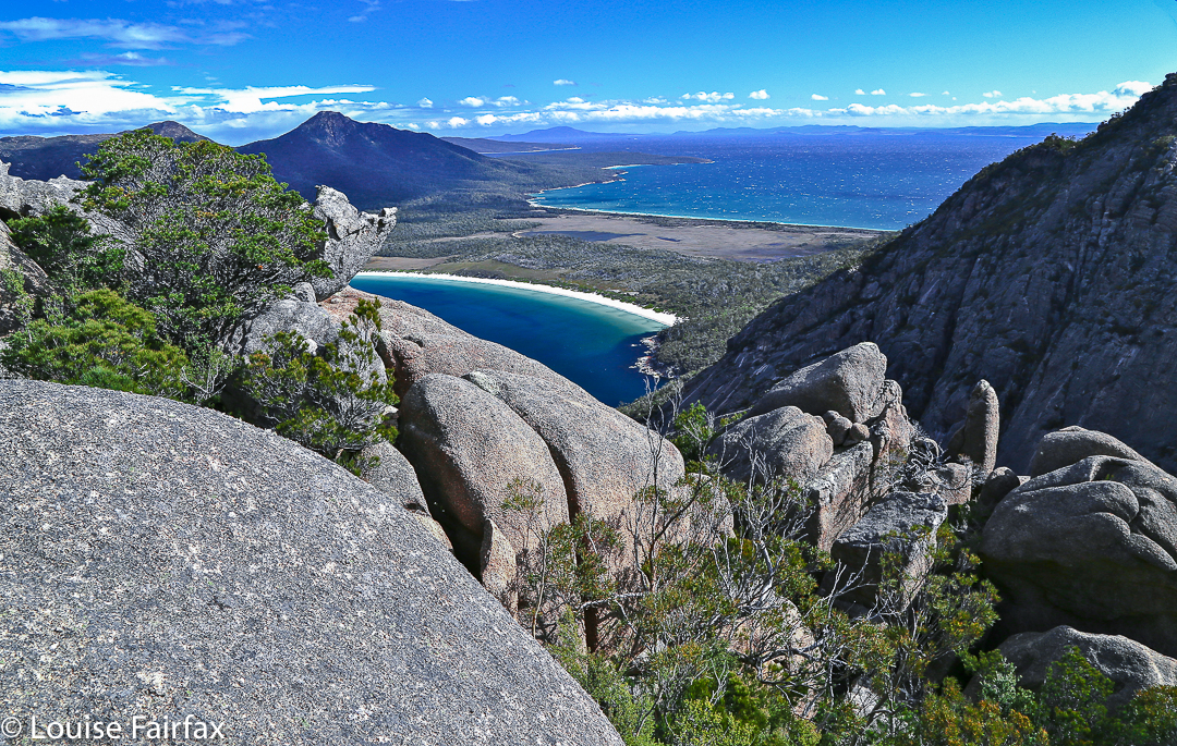
View from Mt Freycinet.

At last we had reached the business end of the day: stomachs satisfied, swimming urge dissipated, off we climbed through the forest and along the track that was almost white with the eroded quartz grains. Everywhere we looked, coloured flowers drooped over the track, picking up the light as they did so – shining yellow, white, pink and purple and greeting us as we passed, brushing our legs with their perfume.
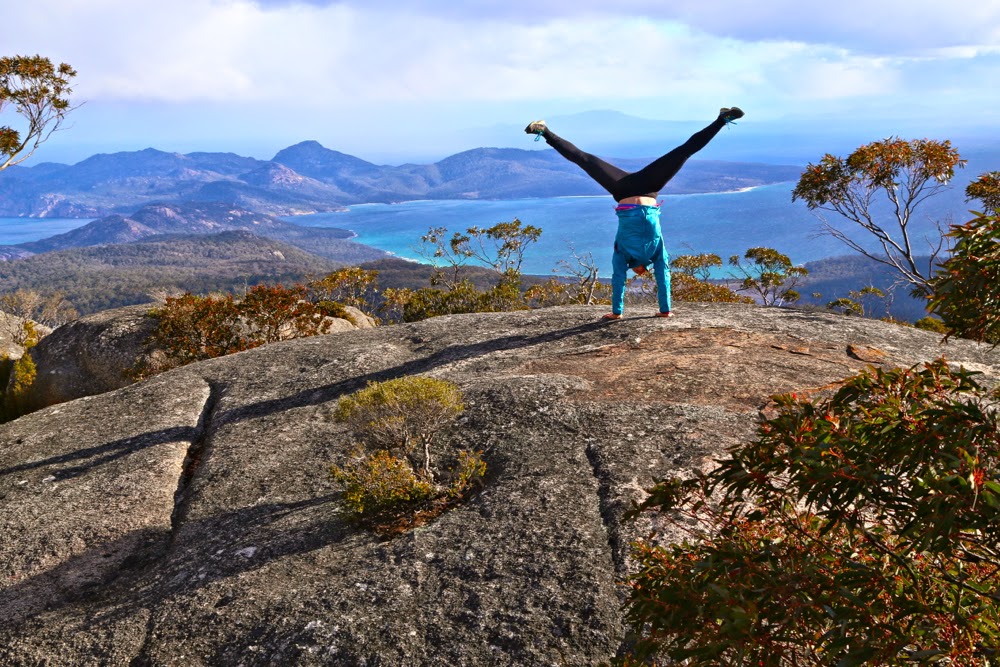
Molly on Mt Freycinet

Up on the tops we met a group from LWC who had also chosen the single dry location of Tasmania this weekend, and warm hugs and greetings (and introductions to the Swedish girls) were exchanged. They were on their way to the beach below to camp, while our goal was to sleep on the summit of Mt Graham. If you’re a regular reader, you’ll by now know that that is my style. We only took about five more minutes after meeting the others to arrive at our destination, so were setting up our tents quickly and looking out at louring clouds. Hey. BoM said there would be no rain here today. How dare they look so businesslike! For the first time that day, there was a little haste. We did want to summit Freycinet today and not postpone it. There was still enough light.
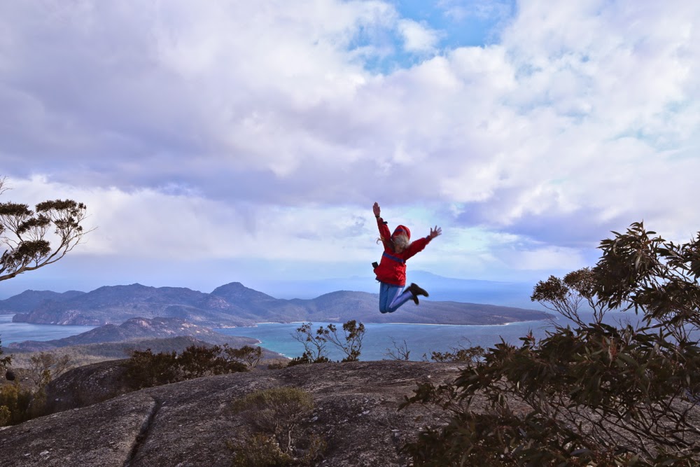
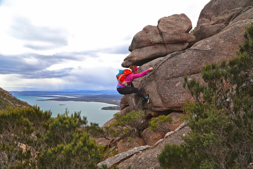
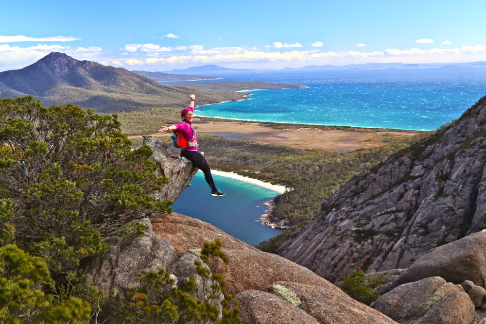
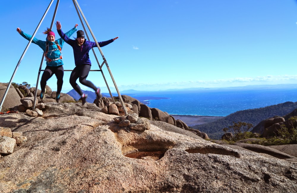
Me, flying over Mt Freycinet.

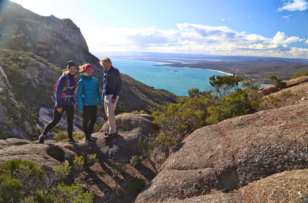
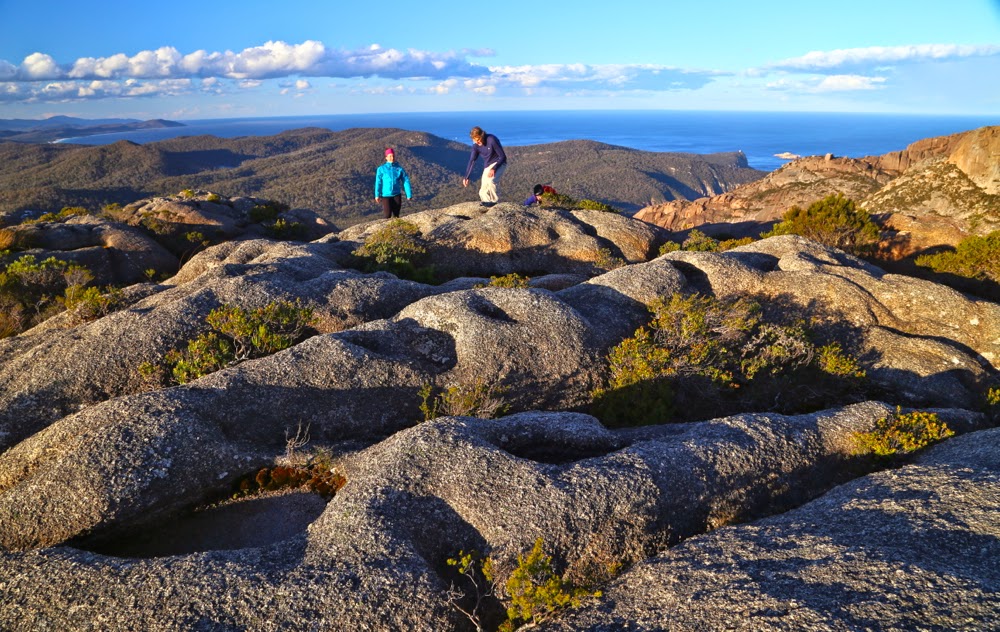
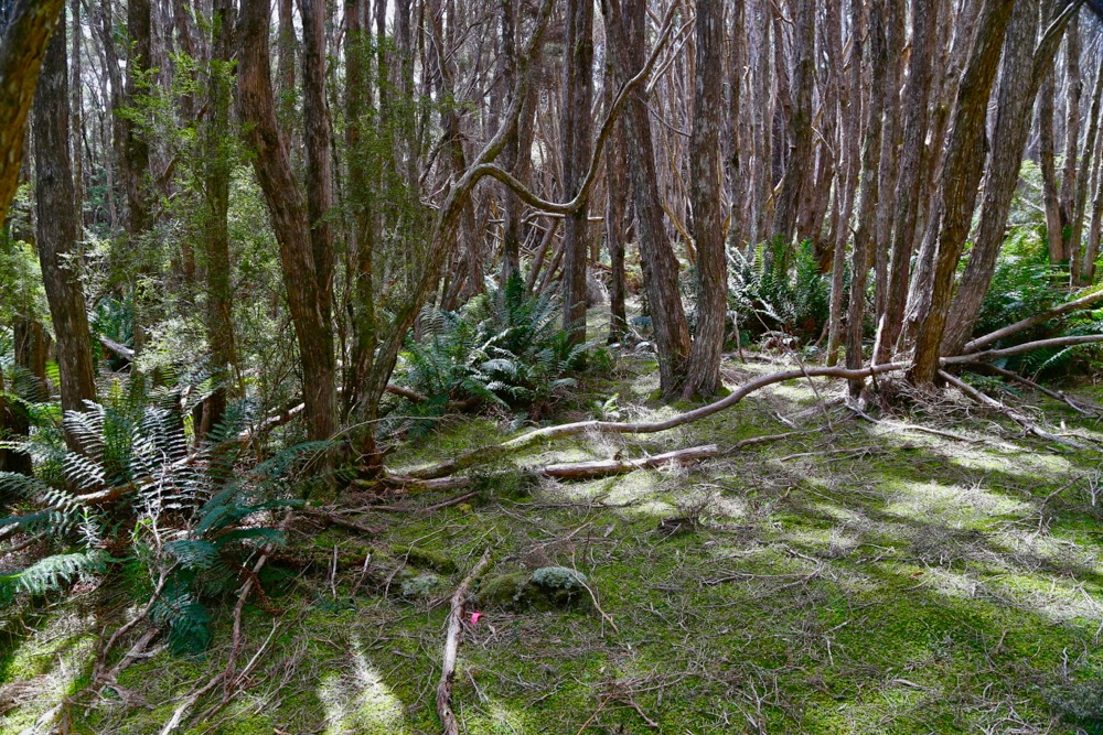
It took only eighteen minutes down to the saddle without packs, and then twenty three up Freycinet along a track that filled us with delight as it weaved through the open forest replete with flowers. Once we were on top, we could relax about encroaching darkness – and the weather. We still had heaps of light left, and the rain was holding off. It was time for general exploration, handstands and jumping poses on the rocks that had enough space for such things.
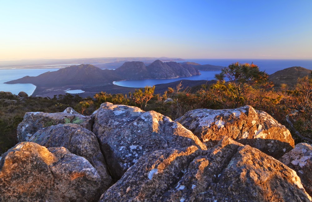
Sunrise from Mt Graham.

Back at the tents, we were in the process of boiling water for dinner when the hail began. I poured water on the packets of powder to rehydrate them and we all huddled into our two-man tent. It was cosy with four. Hail changed to rain, accompanied by gruff, angry wind, but none of that mattered: we had our safe haven, and ate our rehy-dehy food with relish. The day before we had discovered that we all love singing. There we sat in a tent in the storm and sang for the next three hours: some beautiful, gentle songs with soothing melodies and haunting harmonies; some silly, make-us-all-giggle ones. Some sophisticated, some childish. Some negro spirituals and rounds. On we went, laughing and singing and enjoying ourselves, finishing up with Christmas carols before the girls went out into the night to find their tent and “sleep” (the wind raged so strongly that no one actually got much slumber, but at least we lay down and pretended. It was worth losing sleep just to be there and experience this beautiful mountain and the fury of the elements).
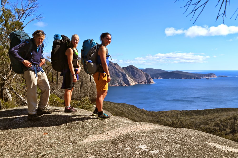
Halfway down

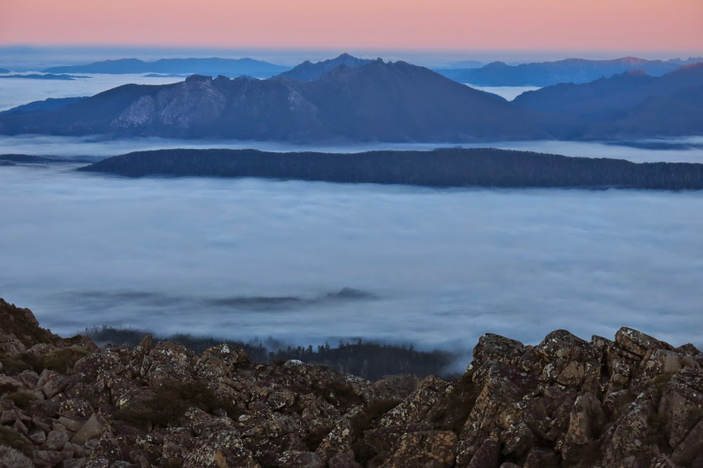
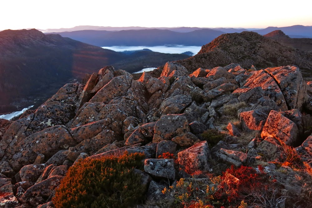
In the morning, we enjoyed sunrise from the summit which was only about two minutes from the tent. The wind had not yet abated, but we weren’t being blown off our feet. A bank of clouds prevented the sun from coming straight out of the ocean, but we loved it anyway, and gazed in wonder that one could camp in a spot such as this. The girls bubbled with enthusiasm.
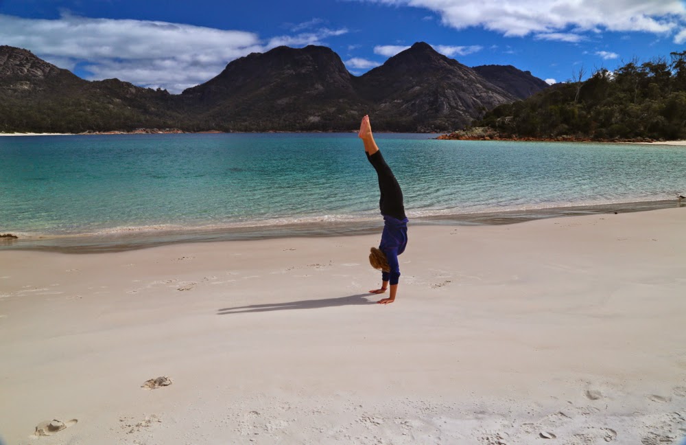
Salome on Wineglass Beach

We sang nearly the whole way down the mountain, full of joy at the beauty around us, and stopped at the beach for yet more swimming, eating and gymnastics. The last time I did handstands was in the 1980s, when I did them in the surf with my niece, Sarah, gleefully doing stands in shallow water and then being tipped over by the approaching wave. It was time to see if I could still do them. I thought it would be rather embarrassing to end up needing to be helicoptered out because I’d hurt my back doing cartwheels along the beach, but fortunately it didn’t come to that. Both handstands and cartwheels  “worked” (generous assessment), but certainly not with anything like the style of my teenage years!! I used to adore gymnastics. Legs were not straight; body was not directly over my hands – but I had huge fun trying. Salome and Molly were fantastic. It’s actually very hard in the sand, as it sucks your energy instead of giving you spring back. When you admire the photo of Molly below doing a handless cartwheel, just remember that. Normally such things are done on a sprung floor. Her “bounce factor” is brilliant.
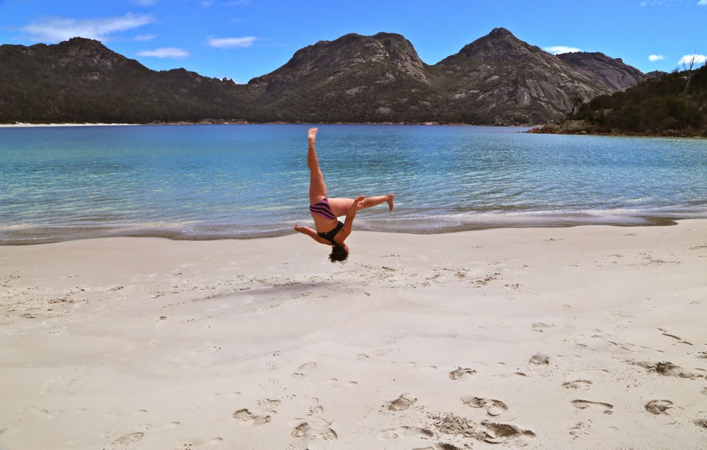
Molly doing a handless cartwheel.
We had also scheduled a climbing of Mt Mayson for this day. The instructions were rather obscure, and we tried about four false leads climbing upwards into thick scrub before we found the one that worked. I was dangling my huge full-frame DSLR (I didn’t have a daypack with me) as well as my Galaxy Note which doubles as my gps system. Both were crashing against the rocks a bit and had me worried about their safety, as most steps involved climbing boulders and sliding along ledges. I felt clumsy; I was also very hungry. It was time for me to have real food. I suggested we go back down to the carpark and deposit our big packs, pick up daypacks and climb back up to where we were, now that we knew we were on the right lead. Molly and Salome agreed. (Bruce had already opted out of this climb and gone to the car by himself.) Down we went, up we climbed, yet again. I was inching around an obstacle on a narrow ledge and noted that I felt decidedly woozy. I was very, very low in blood sugar. I think I was also low in salt. I can tell you that after a scallop pie, a lemon-meringue tart, an OJ and a cappuccino I felt fantastic again, but by then it was too late. I have promised to drive the two girls back to finish what we began, but on that day, I needed food more than a summit point. Alas. We’ll be back to Mt Mayson for round two some time very soon.
Dove 2014 Nov

Mt Dove Nov 2014


My hands sting with abrasions; there are several small slits that smart even more; my thighs have little pock marks and I feel pretty shattered – and yet I can say without the slightest touch of irony that I had one of the best weekends ever – climbing Mt Dove (and later, Mts Graham and Freycinet) on Tasmania’s East Coast.
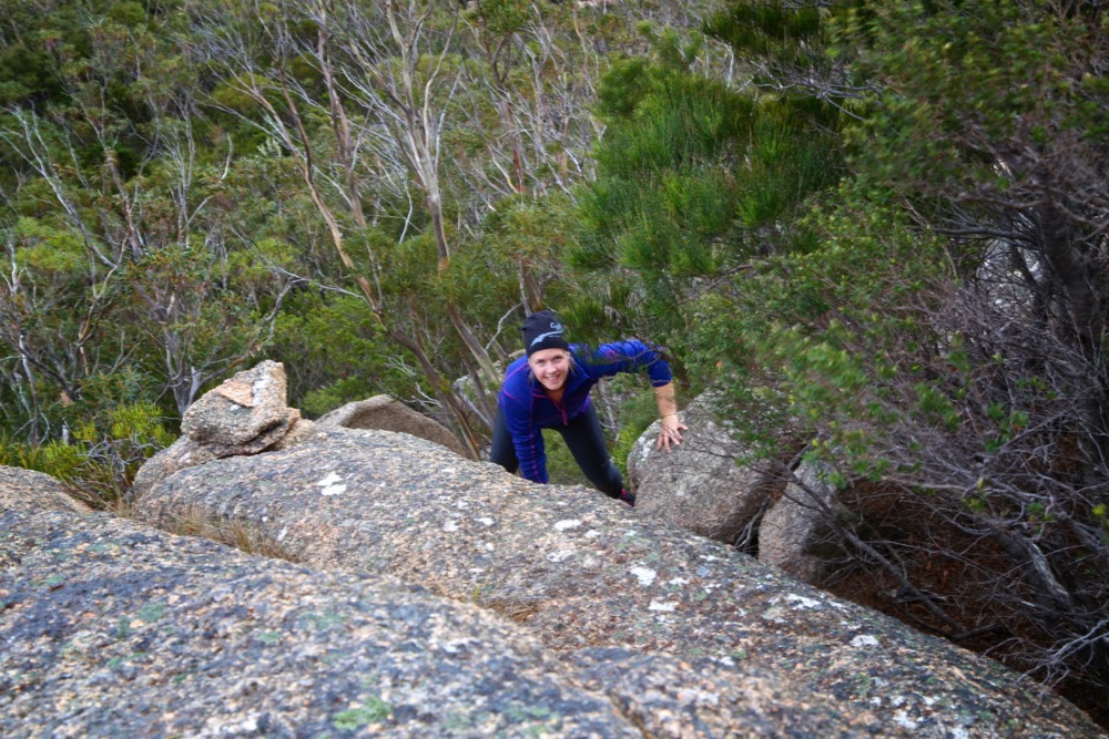
Salome climbs Mt Dove. You can see we have come across a cairn. We kept finding them – a wonderful reassurance that we were choosing the right route. However, DO NOT think that you can follow these. We very rarely saw one cairn from the one behind. They were a happy confirmation of success, not a guidance to it.
I have noted before that it is often the case that when you give, you end up receiving far more than you ever gave. The two Swedish girls I took mountain climbing this weekend think I have done them an enormous favour, and yet I feel as if I am the one who has received.

Last week I accepted into our house two girls who were the friends of the daughter of a friend (Elin is now, of course, friend in her own right – I am just explaining the connection) that I made orienteering in Sweden in 1986. A friendship that began with a random act of hospitality on Marie’s part has continued to this day as a wonderful extended family attachment. On the weekend, I agreed to take the girls into the mountains. Plans A and B both had to be abandoned due to the weather, leaving only one dry place in the whole of Tasmania: the Freycinet Peninsula. Off we headed. I had that “here we go again” feeling; the girls were excited.

Molly climbing Dove

One of the things we learn when we become parents is to see the world afresh through eyes encountering its wonder for the first time, and that is what we experienced on the weekend through the eyes of Molly and Salome. Whereas we, utterly spoiled by beauty, were far too blasé about the marvels of Freycinet, Molly and Salome believed they had landed in heaven, and shared their joy and excitement in noise and action. We loved it.

“Yes” to beauty, says Salome.

The first item on our agenda was Mt Dove, the rather inhospitable next-door neighbour to the more-climbed Mt Amos. However, as we parked, the sky looked ominous. We wanted to climb something, so opted for the much easier Amos, knowing we would get wet. Dove is not a mountain you climb in the rain. Its granite, nicely abrasive when dry, is as slippery as polished marble when wet. We just took the barest essentials, as Amos is a very quick climb, and off we set. My husband, who has Parkinson’s disease, said that seeing’s we were only climbing Amos, he would come too. He had no intention of attempting Dove, which is a much more difficult mountain, with huge slabs of exposed, dangerously sloping granite cliffs, and no path up it. You have to find your own way in the maze of bush and rocks, losing sight of the wider context of your climb as you get buried in the minutiae of the needs of the next few metres.

Molly, excited by the view. We’re now pretty sure we’ll make it to the top, and are feeling pretty excited.

Amos was, as usual, wonderful, but just as we were appreciating it, and deciding that Dove would definitely have to wait until Monday, a hail squall came, and we needed to shelter under some boulders. Ice bombardment finished, it was time to descend, but the girls and I were curious about the route we would take when the weather cleared.
“Let’s just suss out the early part,” we agreed. Off the summit we slid in the direction of the Dove-Amos saddle. It was fun, and my husband was coping. We stood there and looked longingly in the direction of the next summit.
“Let’s do it,” said Salome.
“Yeah, let’s” we all agreed – Bruce too (the trust of this man that I will manage to keep him alive in the direst of circumstances is remarkable). Off we set.

Getting higher, but still not there yet

A look at our route reveals the sad fact that we hit a dead end early on, but only one, and after that it was pretty smooth sailing – challenges were there in plenty, of course, but all overcome with little difficulty. About half way up, we had a manoeuvre that we all agreed was beyond Bruce’s hampered capabilities, so we “parked” him at a spot with a nice view, marked his whereabouts on my gps, and continued as a trio. Up the granite, through a corridor of scrub, up the granite …. we repeated this pattern, gaining height admirably. Oh the excitement when we saw the trig just a few metres away around the corner of a boulder. All three of us were overjoyed. I had given up on this mountain for this day, and here we were. We jumped around and photographed and uttered all the superlatives that one mutters when faced with supreme beauty. Molly, amongst other things, said: “Amazing”, and Salome and I did the first thing that came into our heads at the mention of that word, and began, to our mutual amazement, to sing “Amazing Grace”. Next thing, all three of us were singing all four verses of this beautiful song in harmony as we descended, retracing our steps. We sang the rest of the way down. At last, I have found other people who love to sing while they walk.

Yes, we did it. Excited girls on top.

Back at the saddle, we tossed up whether to climb back up to the summit of Amos and descend on the track, or to find our own way down near, but not in, the gully. We voted for the descent option, and set out, sidling around cliffs and tugging at roots and branches as we made our way both along and down. Time marched by. The sun started to get an ominous golden tint and the shadows got long. We appeared to be in a cul-de-sac, in which any direction that was vaguely forward was too hazardous for my husband to attempt, especially as he was now getting tired. No. We’d have to go back and do what we should have done all along, and head back for the summit of Amos, hoping to intercept the track near the top. These rocky bluffs offered too impenetrable a fortress.

This was taken after we had stopped attempting to descend just above the gully and were climbing Amos once more. By this stage, I had stopped fearing that we would spend the night on the mountain, so relaxed enough to take a photo.

Backwards, upwards we pushed with the day drawing to a close. I began to suss out overhangs for overnight possibilities should it become necessary. However, at last with a whoop I called the others: I could see a bit of blue tag. We had mounted the spur we needed and the track now lay slightly below us. Hoorah. What a fabulous team effort it had been. We would be sleeping in our tents tonight after all. I have not yet mentioned that the wind was ferocious – so much so that I had no idea whether any of my photos would turn out, as I had trouble stabilising the camera. As we descended, we were grateful to at last have dropped out of its reach, although we could see it whipping up waves on the normally tranquil water below.

Emerging on top of the spur that would connect us to the Amos track. Victory is in sight.

We had been planning on sleeping at the end of Wineglass Bay, but had now run out of time. The gale was a westerly, so I drove us to the Friendly Beaches where we set up our tents on the sheltered eastern shores, happy and complete after our successful ascent(s).

Sunrise at the Friendly Beaches next morning.
Saga to be continued in the next post, later today or tomorrow.

Young 2014 Oct

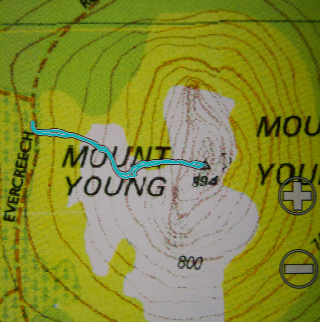
Mt Young 20 Oct 2014.

I was excited as I put on my suncream; I love that smell, redolant of summer holidays, the beach, excitement and adventure. It seemed as if I hadn’t been on a proper Tassie walk forever. I couldn’t even find a compass, and that’s about as likely hat our place as not being able to find a spoon to eat with.

As I left the house, I joked with my husband: “We need to leave for the airport at 7, so dinner will be at 6. See you at one minute to …. haha.”
It was a beautiful day, as promised. The grass was that magic spring green; little lambs gambolled about, leaping randomly, jumping invisible obstacles and filling me with delight. Ben Lomond was sharply delineated as I continued on past it. I was finding the driving enjoyable and relaxing.

However, I seemed to have used up far too much of my beautiful day, I decided, as I at last reached Mathinna. It was already 11.30. I turned to the north. Checking the map at every turn was a bit bothersome, so I drove on, and checked far too late to see that I was now heading to the Falls instead of travelling on Diggers Road, parallel (sort of), to the one I wanted. Back I went, found my road, did a bit more stopping and checking at intersections this time, and there was the road I wanted, the one that would connect Diggers with Evercreech Rd that led all the way to Mt Young: Symonds Rd. It was surprisingly narrow. I rechecked the map – yes, solid orange, same as the roads I had been on, which meant I could drive on it. Yet it was only just wide enough to take the car, and branches were trying to get in the windows. I’d already seen two black snakes on the road. Now, travelling very slowly, I saw a third. I came to a halt to glare banefully at him. He stared menacingly back, eye to eye and no mistaking it. I was starting to think that the solo bit wasn’t so nice today.

I drove over a fallen tree, small, but with side branches – trunk maybe 12 cms thick. Then came two more logs. I’m now going downhill, presumably to a creek. The road is getting even narrower, scratching the car as I went, and also becoming quite sandy and loose. Luckily my husband is not a man who cares about a bit of metal … which is kind of why I married him. His head and heart are in other places. BUT, then I came face to face with a very thick tree that had fallen, and although it had been cleared enough to let a motorbike through, I was not a motorbike and for me there was no way forward. Another big BUT. Could I back up the slope and over those obstacles on a path this narrow and sandy with all sorts of hidden traps at wheel level? Could RACT ever rescue me if the answer to that question was was ‘No’? I remembered my joking words of this morning and feared I would not even be home by one minute to six at this rate.

Whenever I’m in a sticky situation like this, I’ve found from experience that the very best thing to do is to sit and eat – preferably some chocolate, but almost anything will do. I grabbed at my lunchpacket and gobbled some of its wares. That felt better. It wouldn’t do to go backing a car on an empty stomach in that kind of terrain.

 Miraculously, I made it, and after far too much time, found myself driving back towards Mathinna to try a new attack. South to the town, and then east, and once more, north. This trip was getting very long, and the purpose (climbing a mountain, in case you’ve forgotten), seemed still a long way off. The airport was starting to call.

At long last, my mountain, and the goal of this trip, came into view. I wanted to drive until I was due west of it. I now had out the gps as I drove to line up waiting for that point. Going nice and slowly now. Just as I was deciding I was due west, I saw a most heartening and glorious (given my frame of mind at that time) sign – a pink ribbon tied to a tree. That strip of pink ribbon could have been a golden necklace and I wouldn’t have been as happy. I looked at my watch. Time for one hour up, one down.  That should do it. I packed my bag and set out.

Oh the joy of at last being in the bush after such a stressful and protracted journey.  Oh the pleasure of walking through open forest with a green carpet under my feet. I had imagined as I pictured the day in advance, that I would have to bushbash the whole way, and find my own route up through the rocks, but the pink ribbons went on and led me right to the top. Thanks ever so much person /people who put them there. Everything was glorious, I utterly enjoyed the feel of the bush, its smells and its sights … except that in 15 minutes I was standing by the summit trig. That represented a truly shocking drive to walk ratio!!! (17:1).

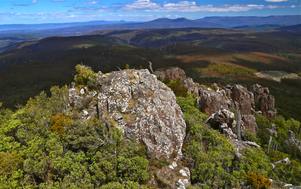
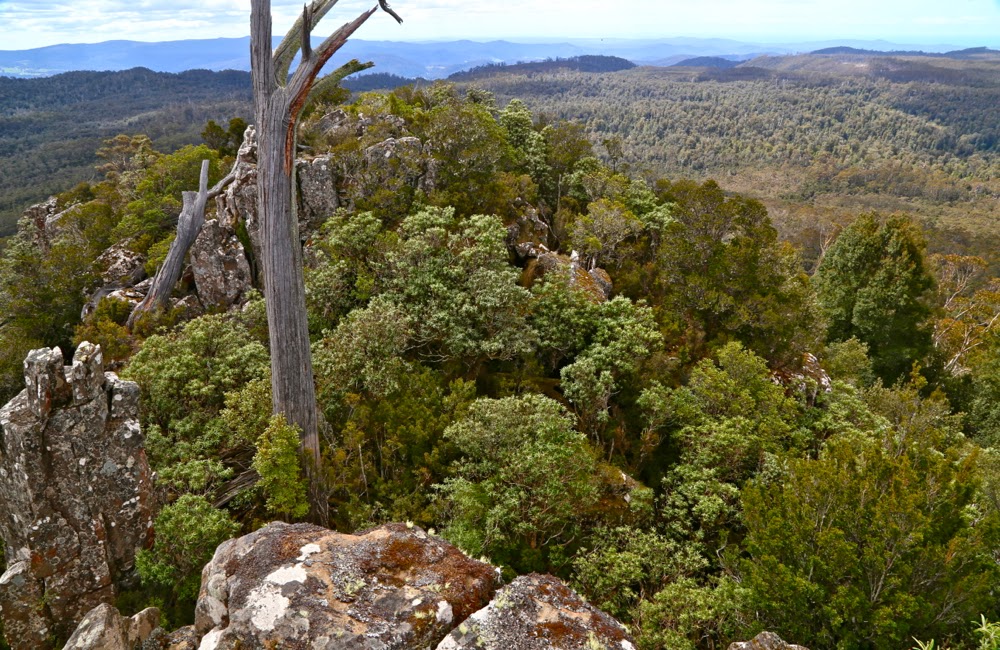
The view was wonderful, and I stayed a while to take it all in. I could see the sea – very clearly –  and lots of mountains that I’d climbed already. In fact, I think the only mountain in my purview that I hadn’t climbed was Mt Blackboy, which was also on this day’s agenda, but I had now timed myself out of it. The airport called louder and, had that call not had dire consequences if I ignored it, I might have attempted to squeeze in another mountain, but I couldn’t risk anything more going wrong, so quit while I was ahead, and assured myself it had been a lovely morsel of a mountain and that I could bathe in its happy memories for a while without pushing them to the side by adding an extra climb that would be tense as time ticked by.
I came home via the north, heading first from Mathinna to Ringarooma and then west on Ben Ridge Road towards Targa and thence Launceston. It was very interesting seeing new angles on otherwise familiar mountains, such as Ben Nevis.

I arrived home in time to have some berry and almond cake with a cup of tea before throwing some gear in a pack, having a hasty dinner, and driving to the airport, where we ordered citrus tart and cappuccino to try to begin relaxing. I had done almost nothing in terms of physical exercise, but the strain of almost being stuck overnight a very long way from phone range had made me absolutely ravenous.

Byatts Razorback 2014 Sept

Sphinx Bluff, Broken Bluff and Pavement Bluff from below

The mountain I selected for today (Byatts Razorback) was perfect for a day like this. It was not too far away (about 1.5 hrs in each direction), and not too long a walk (about 30 mins each way). I am unwell again – they’re calling my virus the “hundred day flu”, and that seems right from what I’ve observed of self and others – and I have heaps to do before I fly with my debaters to Brisbane tomorrow. Just a little excursion was all I wanted. I was, however, expecting this “little excursion” to be unpleasantly scrubby: it is, after all, on the east coast, near West Tower and a raft of other rather bushy mounds.

Denison Crag from near Rossarden
We had never taken the road north of Avoca before. I’m not a fan of driving, but this road was a delight. Without a peak baggers’ list prodding me to explore and climb a stack of mountains I’d never even heard of before, I probably would have lived my life without ever going up this road. I’m thankful for the list and the number of new places it’s tempted us to see. The wattles (acacia dealbata) were in full bloom, and Stacks Bluff, which I’ve never inspected at close range, loomed large and perfectly delineated in the morning light, with crisp edges and shadows. It’s a great shape. It moved up the “to do” list, but not for today. My goals today were small.

We then swung right, to change our gaze to Broken Bluff and The Knuckle (yes, yes, I did watch the road as well), and eventually came to the quaint settlement of Rossarden, where someone has transformed the old wooden church into a very attractive house with daffodils. Not far to go now.

Typical bush on the way up.

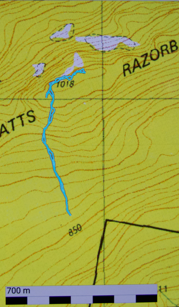
My plan was to park just south, and a little west, of the summit, and walk north to the razorback of its name, and then east to the high point. One hardly needed a map for that, but we had packed one anyway, as we always do – along with a compass. As I’m approaching the spot in the car, I see a little side track. I consult my gps and decide it can do no harm, and could do a lot of good, so, even though it’s not on the map (what road ever is, you may well ask), I take it. Unfortunately, it stopped after about a hundred metres. Oh well, it was worth a try. Might as well climb from here now we’ve stopped.

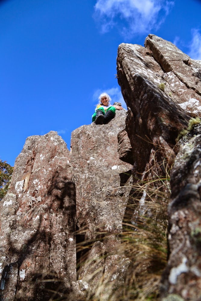
No, he didn’t think it was the summit, but it did look a fun thing to climb. There were lots of little beckoning columns like this up there.

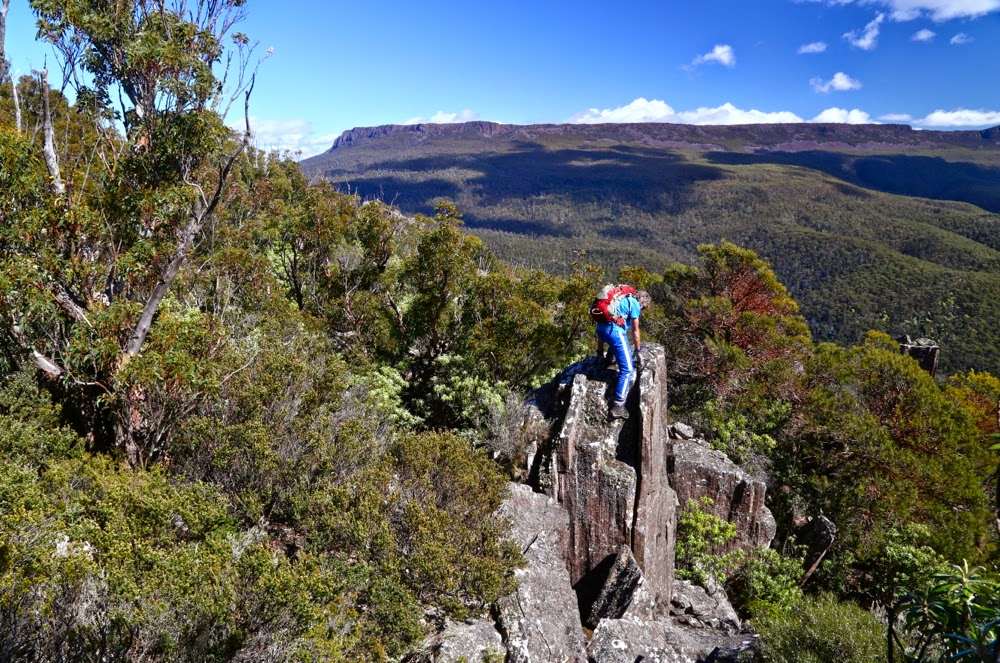
Framboisiennes fresh from our Harvest Markets in our stomachs, off we set. Well, well, look at that. That tree has an orange streamer. Look, so has that one up there. These streamers weren’t quite connected, in that I couldn’t see from one to the next, but by keeping the line of least resistance in the forest, I kept finding them. It was fun. And the bush was delightfully easy – a long cry from the fight with prickles and tangles I was expecting. We were loving it. Boulders were mossy and a soothing green. Up we went, enjoying the route, onto the ridge line. We climbed something that looked nice and high (and it was, actually, the black dot on the map), but a boulder cluster further over looked higher, and the pink ribbon continued, so (having climbed the black dot) we headed further east, actually dropping a bit on some scree in order to climb the next section with less resistance from bush. The pink ribbons, having led us down the other side, then disappeared. There were several scrambling routes possible, all of which appealed. I selected mine and up I went. On top of this one was a summit cairn, and, as far as the eye is any indication of anything, I was now on the highest point. My gps confirmed that I was at the summit height (actually, it said I was 1 metre higher).

The summit rocks. There is a cairn just behind me, to the left.

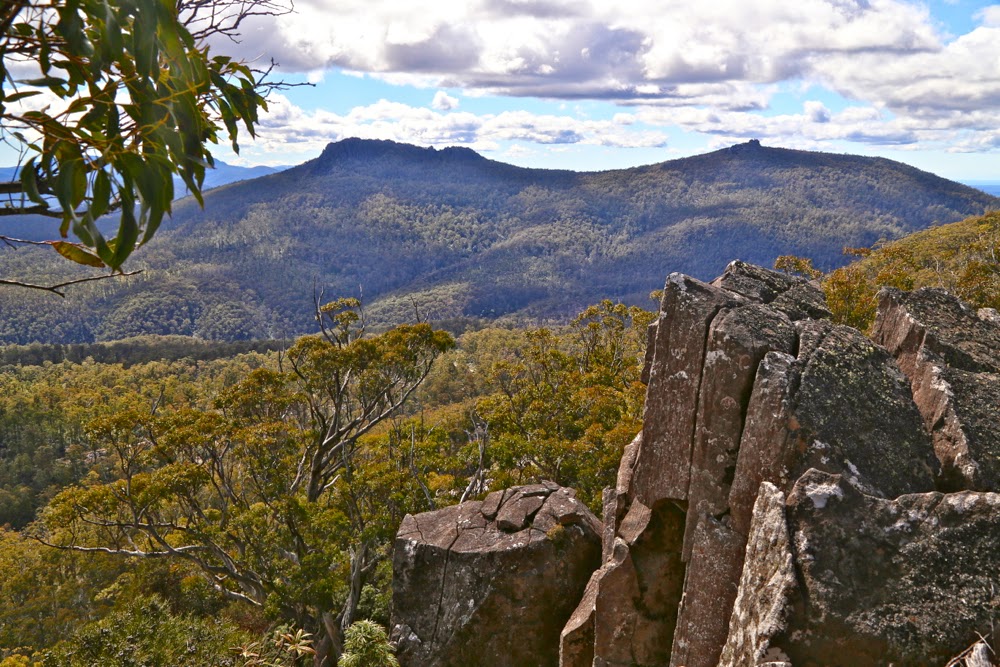
Even so, we still went a bit further east just for the heck of it, and because I had seen a good vantage point off that way where we could sit and snack and stare out at West Tower and its eastern mate.

West Tower (L) and East Tower (R) from our snack rock
Back at Avoca we shared a pie, lettuce and sparkling apple juice down by the river in the company of ducks to fend off the pangs of hunger until real lunch.

How wonderful it is to be welcomed home by dogs. As the car neared our internal gate, I could see them bouncing with excitement as they raced to meet us. I find it hilarious that they don’t seem to think that they can have fun without us. We all did a turn around the perimeter of the home paddock together, they, rushing and dashing; we, sniffing and sighing at the beauty of sun through petals, before at last heading into the kitchen for lunch.

Florentine and Tyenna Peaks 2014 Sept

Florentine and Tyenna Peaks: Sleeping on top.  6-7 Sept 2014.

On the approach to Florentine Peak
Our feet crunched noisily on the snow as we made our way over the Rodway Range, our overnight packs on our backs. Mist played around us, sometimes teasing us with a view of the rocks around, at others enclosing us in a world of grey. We hadn’t set out from the car until after lunch and, according to BoM, the weather right now should have been fine, but this dense air wasn’t cooperating.
“I think we’ll have to switch to Plan B,” I muttered a short while later as we crabbed our way along the slippery descent from the high point, made treacherous by the moist black moss. “I don’t want to lug this gear up a mountain we can’t see and don’t know.”
My husband kind of grunted assent.
As we approached K-Col, however, I changed my mind. There was no sun and the wind was up, but we could at least now see our intended mountain, and you never knew what tomorrow would bring.
“Yeah, let’s give it a go,” Bruce agreed.

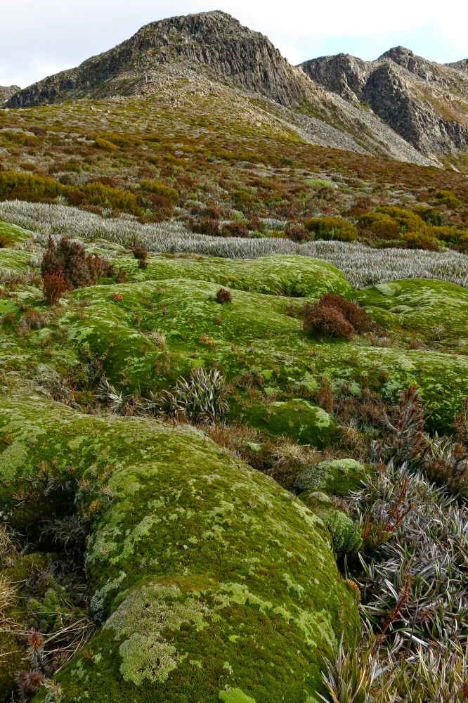
Beautiful cushion plant, with FP behind.
Although The Abels book suggested a slightly different route, I was in the mood for climbing, so we set off straight up the first mound, using channels of vegetation, which eventually produced a kind of climb-contour alternation to the first saddle, after which it was straight up on all fours – very steeply. My husband suffers from vertigo, so I hoped he wasn’t looking over his shoulder. He was … and so began moving very slowly, which he does when the fear factor kicks in. By the time we’d reached the cairn of that particular summit (nicknamed by me ‘summit 2’, as it was the second highest of the several wonderful mounds that decorate the Florentine general lump), he was ready to stop. “Let’s call this the summit,” he suggested.

Straight up and still smiling.
“No. It’s not the summit, and I’m going to the real one. But this is a great place for camping. I can pitch the tent here if you’d like.”
He liked. I pitched. Time was now running out and I was getting frustrated and upset. I still hadn’t earned any points at all today and Bruce wanted us out by lunchtime tomorrow. We were on a summit, but it was 10 metres below the actual one, which still looked (as from the map) about a kilometre away.

One of very few sunset photos, taken on the way back.
I erected the tent hastily, threw a few things into my daypack and was ready to try for my first points of the excursion. Bruce was now feeling more enthusiastic, so was ready to come too. Off we set at a rush and to my absolute astonishment, we were standing on its summit celebrating in under ten minutes. Hoorah. Time was still at a premium. We only took one photo up there, as we decided we could give Tyenna a try as well, given the speed with which we’d summitted Florentine. People said it was an hour in each direction. We had 1 hr 45 until total darkness. It was worth a go.
We literally raced where we could – along the vegetation leads, running until Bruce took a few falls, so then slowing to a quick walk. Twenty five minutes got us as far as a high point overlooking the final saddle separating us from our goal. There was no way I could get Bruce up and back before darkness fell. He agreed to stay there and watch, and have a rest. The terrain looked rather unfriendly ahead.

Looking back at Tyenna once we were reunited
The going was slower now, as the bush had thickened up here, and the rocks were once more slippery and jagged. As I climbed higher, the gaps between rocks were sometimes 4-6 metres deep. Despite the need for haste, there was also a paramount need for care. If I fell, I would probably freeze to death overnight, and Bruce wouldn’t have any idea what to do and would be stuck out in the open as well. The forecast was for frost in a town 1200 ms below us. Who knows what the temperature would get to up there? Three times I ended up in a cul-de-sac of unclimbable cliff-face, and had to back track, sidle around further and try again. I didn’t want to look at my watch until I reached the top, as I didn’t want to have to turn around before my goal, and I had a strong sense that I did not wish to see the information it would tell me.

Sunrise from our wonderful eyrie
I had been right. When I finally got to the top and looked, I had taken too long in dead-ends and caution. I needed to hurry back, but still needed not to land at the bottom of a rocky crevice in a single misjudgement or patch of unexpected slippery black moss. I negotiated obstacles on all fives, a monster crab descending, and then hurried to my husband in his bright orange jacket, a wonderful beacon on the horizon catching the now golden rays of the sun.

Looking to the Mt Anne group. (Feder is visible, faintly, to the left)
In all this time – since leaving our tent – I’d hardly taken any photos, such was our emphasis on speed to beat the darkness. Our tent was maybe 45 minutes away, and the sun was setting. However, we were also now out of danger. It would get dark, but we were once more together with nothing more to climb, and I could navigate us back to our tent. I’d taken a very careful note of the shape of our summit (which, being the furthest away no longer looked as high as it actually was, so I couldn’t just head for the second highest lump); I had also been observant about the shape of the snow patch we were next to  (and I did have my gps as a backup for emergencies).

Looking across to Florentine summit 1
I steered us along the western cliff line, partly because that gave us the most light, but mainly because it gave us the best view of the sunset that was now in full swing. Now we were reunited, I used the moments where I waited for B to catch up to snatch brief photo opportunities, although I still had no time to think carefully about composition or lighting. It was, out of necessity, a matter of point and shoot. It was such a shame to be wasting a glorious sunset careening through the landscape, but I would not loosen my guard until our tent was in sight. I feel very responsible leading a man with Parkinson’s in situations like this. The few photos would at least let us admire our sunset later.

A different view of Florentine from Florentine. (See Mt Solitary there to the left).
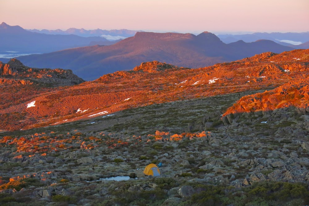
By the time we were about ten minutes from the tent, it was totally dark on the ground, but we could observe shapes against the horizon. Luckily I knew the form of our patch of snow, as it guided me in to the control point of our tent. I was basically on top of it before I noticed it. Bruce was still in earshot, so my voice guided him in (I never let him get out of earshot). Now we were both there, perched on our eyrie, we could enjoy the remnants of the red and tangerine sunset out to the west. Florentine summit 1 had a beautiful mist floating around its head. Everything was ethereal with that light, dancing veil. We felt transported into a world of glory.

View towards Mt Field West.
Perhaps it is odd of me, but one of the aspects of summit camping that I adore is the inevitable 2 a.m. need to get out of the tent and go to the toilet. The air is so crisp at that hour and the silhouettes of mountains always particularly sharp. As I emerged from the tent, the stars glistened and flickered in a sky that was now perfectly clear. The moon picked out the delineated edges of the pineapple grass fronds, underlining each one in shining silver. I stayed outside as long as I could considering the cold, gazing, fully-satisfied at the spectacle of near perfection around me.

Looking at Mt Mueller. Our tent and its ice-block tarn in the foreground.
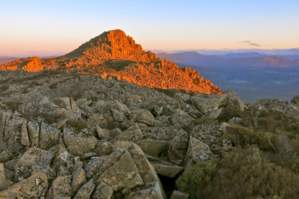
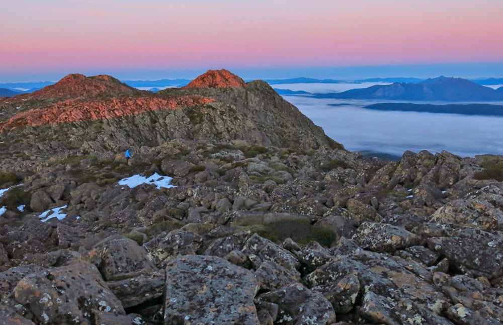
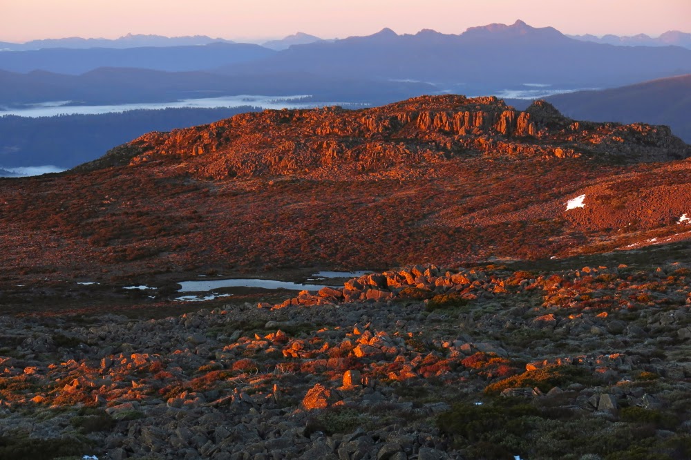
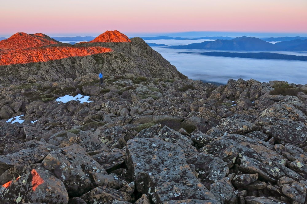
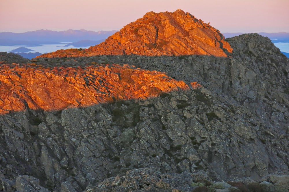
But the very best thing about summit camping is the dawn. This dawn was superlative. First we had a gentle alpenglow, followed by ruby highlights as the rising sun touched the dolerite rocks around as we perched on our summit gazing out in awe. Fluffy, puffy clouds filled the valley below. We could see all the Western and Eastern Arthurs, the Mt Anne group, Lake Pedder with Mt Solitary peeping through between Florentine lumps, last week’s mountain (Mueller), The Thumbs and more. It would be impossible to actually count the number of peaks in our purview, each one taking form as an indigo silhouette against a pastel roseate background.

Looking towards The Thumbs across a sea of cotton wool.
I was completely fulfilled as we returned to the tent (2 mins away) to cook breakfast. But here we encountered a problem. Last night, I was already tucked in my sleeping bag when I remembered that I really should fill my water bottle so we’d have running water for breakfast. I was too snug and too lazy to get up – and didn’t want to wet my fingers. I was quite cold enough by this stage. The price we paid for that inertia in the morning was that we had no water for our porridge. I watched as Bruce tried to bang things against the ice on the tarn with no effect. I suggested a sharp rock would be the only means, so he procured one and hammered the sharp end into the ice. Bang, crash. Still no resistance. Fourth time, he met with success and succeeded in breaking a patch of the very thick ice. What emphasised the degree of cold that existed overnight was the fact that ten minutes later when I went to the hole he’d made to collect water for coffee, it was an iced-over scar, a reminder of where a hole had been, but a hole no longer. I had to boil our cups to get the solid ice blocks out of them.

And finally, looking back towards last night’s mountain, Tyenna Peak.
We were back at the car late morning, allowing us to have lunch at the Possum Shed, and be in Launceston by mid-afternoon, which was needed for work reasons. It was a pleasant change to arrive home in the light, and the dogs were thrilled. They cavorted with us in the garden before we settled into other duties.