Mueller 2014 Aug

Mt Mueller, 2014 August.
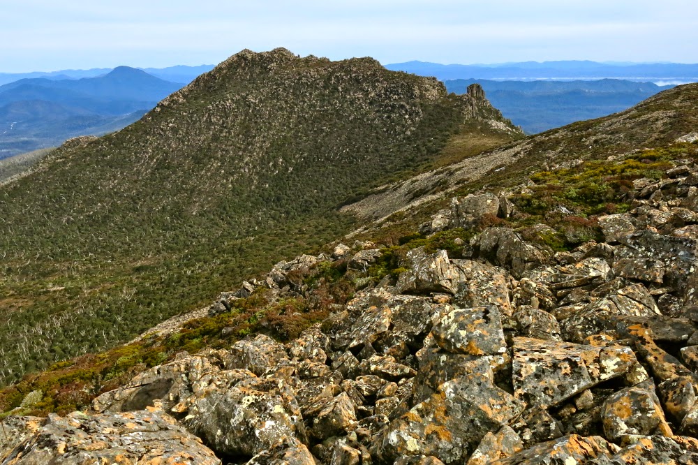
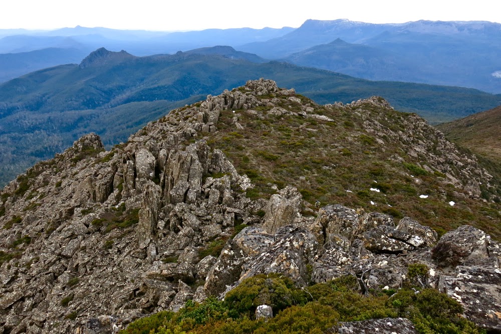
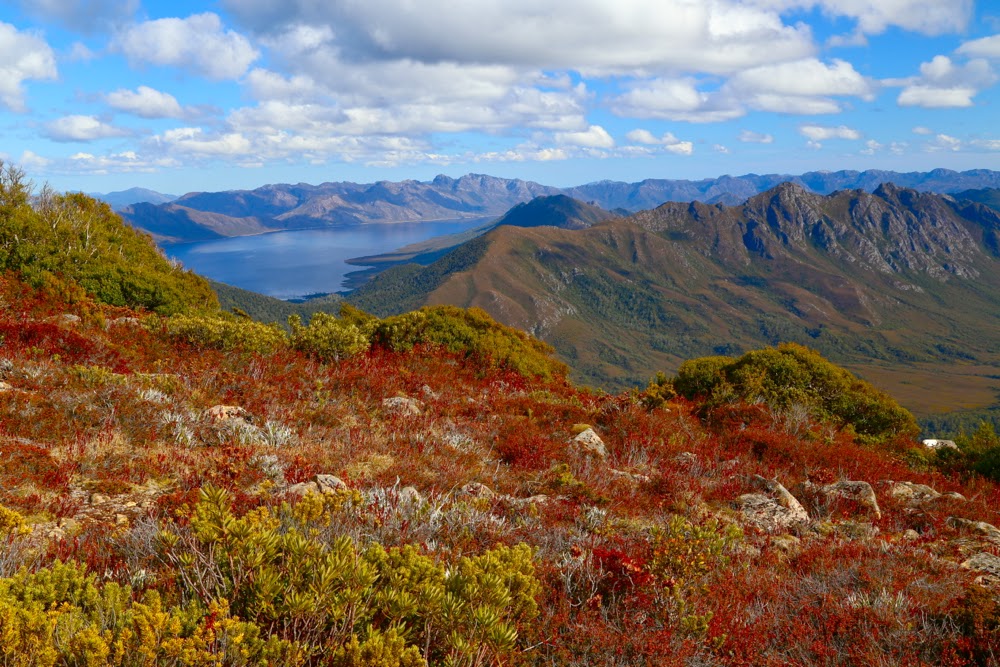
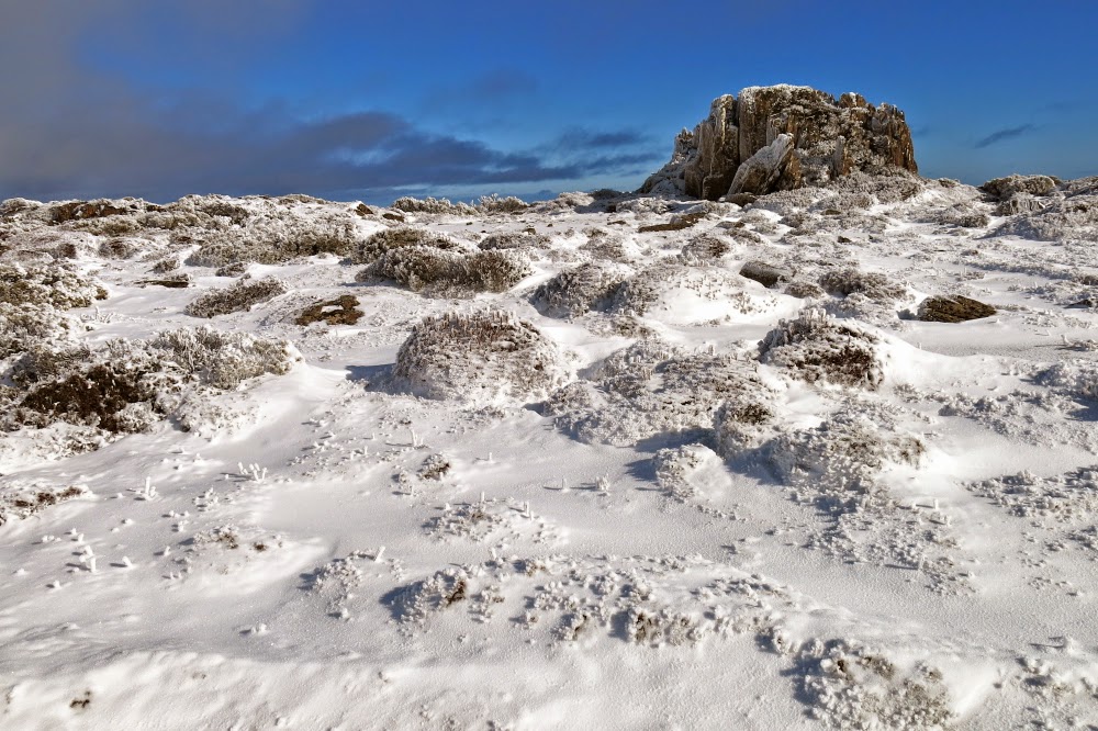
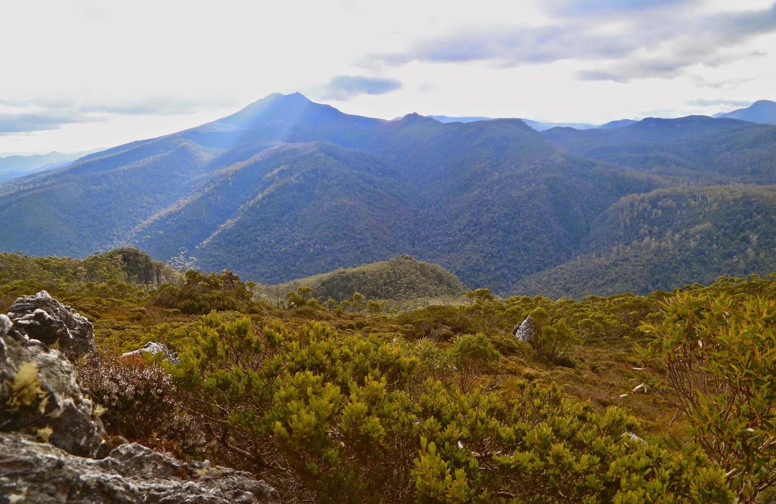
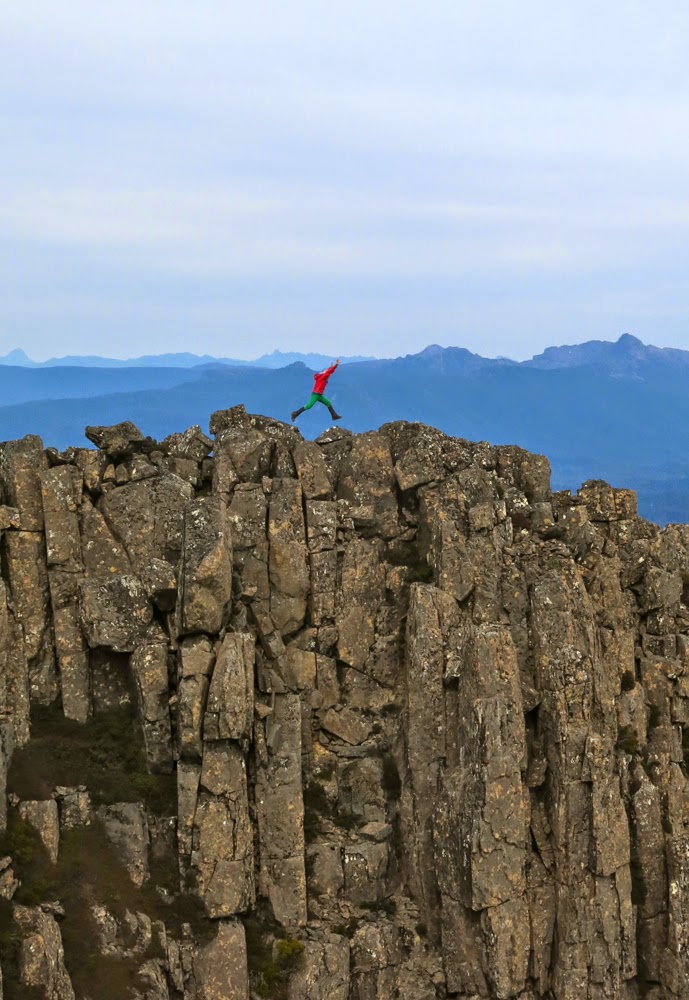
The real Mt Mueller summit from the ever-so-slightly lower eastern one.
In the 1800s, Baron Ferdinand von Mueller was a spokesperson who helped change and shape public opinion towards Australian native flora and thus has a role in the history of the development of National Parks. Von Mueller, as Government Botanist for 43 years, was listened to when he spoke about matters arboreal. In an age when those with power were ripping out Australian trees in areas that we now know as national parks, and were allowing grazing of cattle, sheep and goats – and even releasing rabbits into the area (to force it into “a proper state of culture”) – von Mueller called for the protection of native forests.

In a public lecture in 1861, he went so far as to declare that trees have rights (echoing, for me, the words of Goethe who wrote about “die Rechte der Natur” [the rights of nature] and Blake who opined that “everything that lives is Holy”). Further, he argued that trees are “a gift entrusted to us” during our short stay on earth and that we have a responsibility to pass them on to the next generation “as an unimpaired property”.
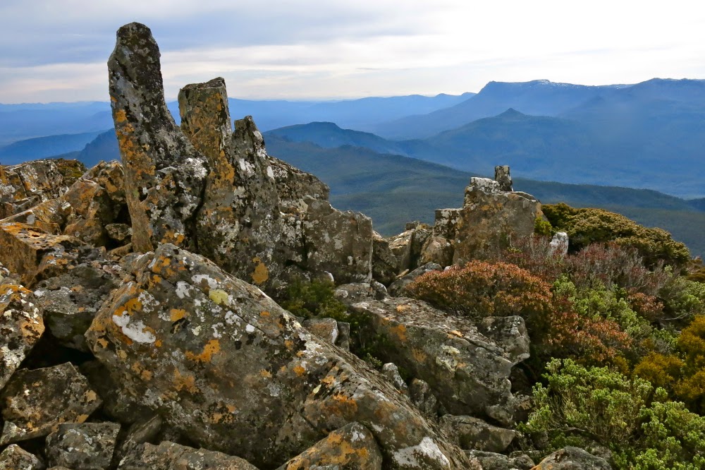
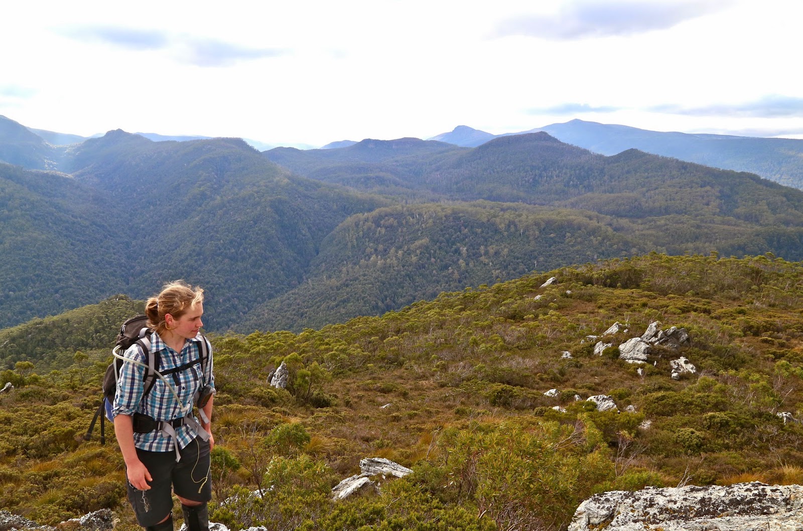
View from the second highest point on the eastern ridge line.

It is fitting that he has been given a mountain in Tasmania (he climbed Mt Wellington whilst here, no mean undertaking in those days). He also has mountains named after him in QLD, NT, WA and on an island in the north Atlantic, a mountain range in New Guinea, a glacier (and a lovely hut) in NZ and a waterfall in Brazil, as well as plants that bear his name, such as Boronia muelleri that grows in my garden.
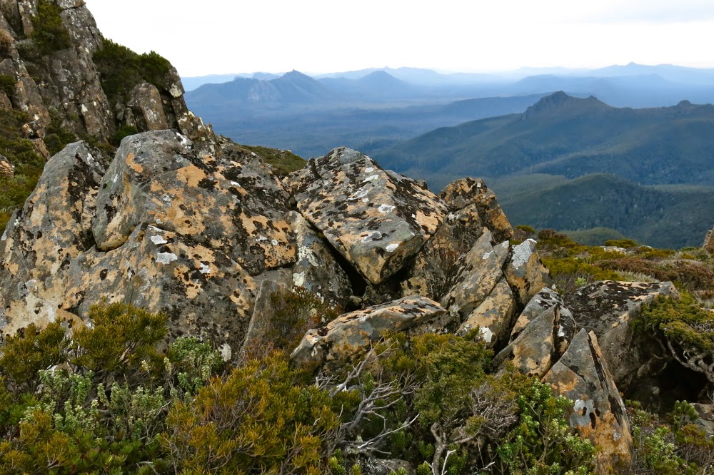
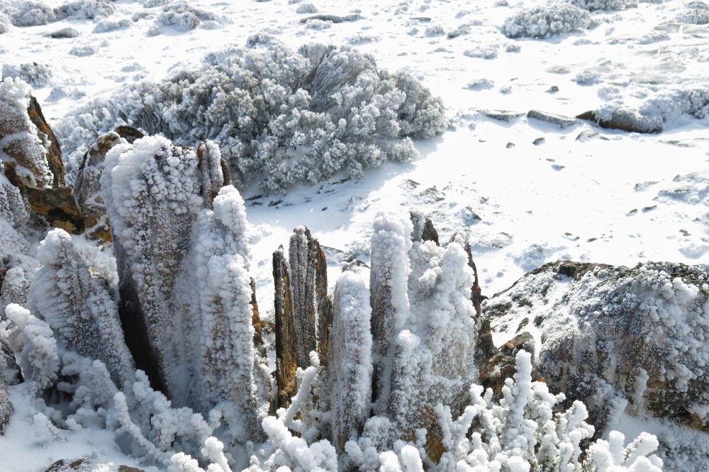
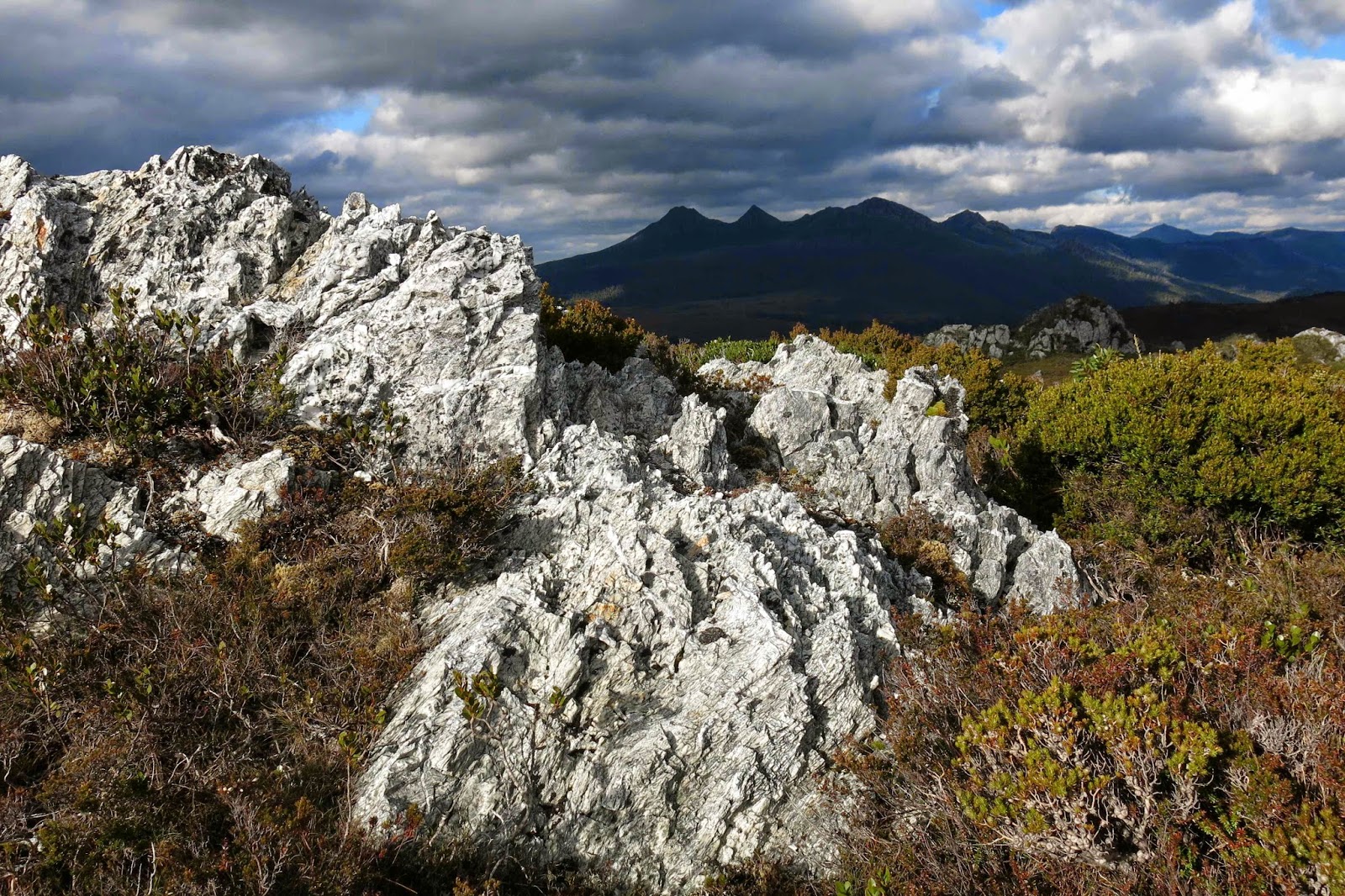
Looking down on the Needles.
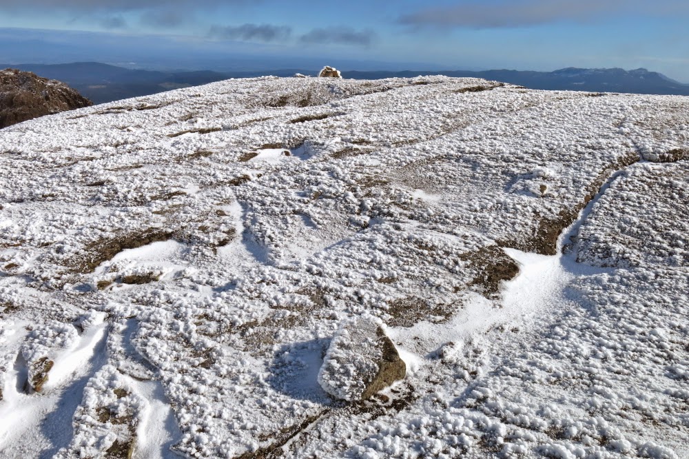
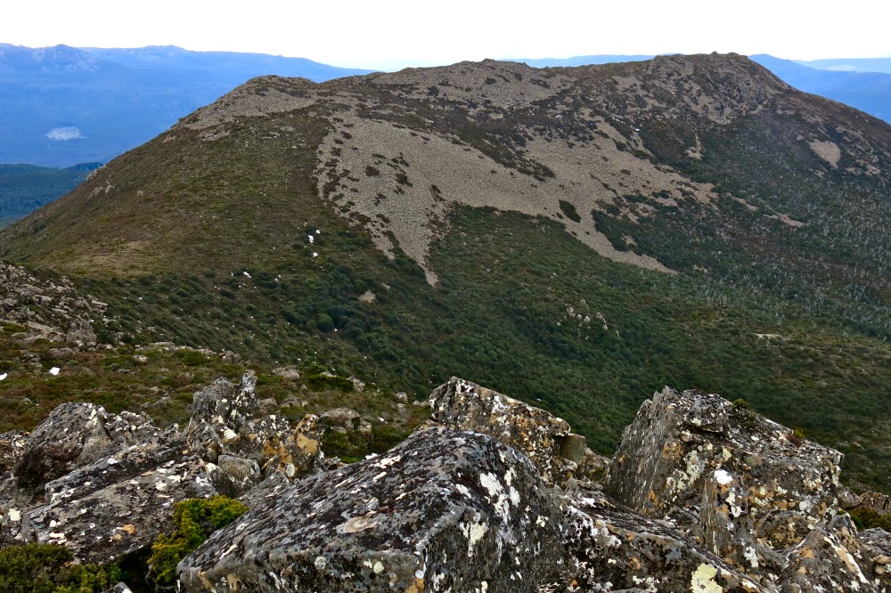
Looking back at the eastern half of the mountain. This is a “two for the price of one” peak.
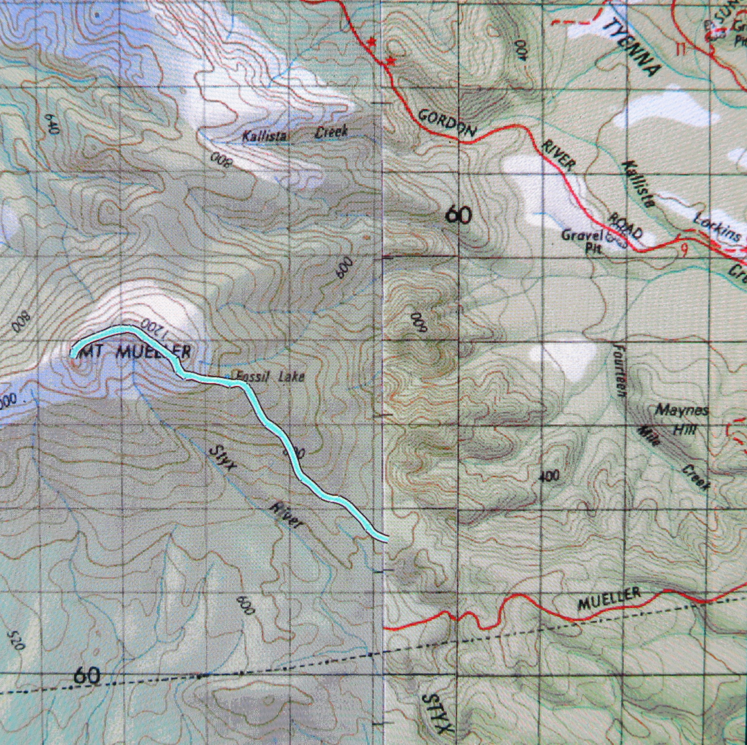
On Sunday, at last, I climbed his Tasmanian mountain, often seen, but with access problems due to the inevitable Tasmanian locked gate syndrome. It also doesn’t help that the access roads are not on the map – and, of course, neither is the track. I find it odd that Tasmania wants tourists and their money, yet at the same time fails to provide information on places like this that they could go to. If we gave them better (free) access to these places, they may well stay in our state longer, as there would be more to do. For locals, the need for a key makes this a good walk to do with a club. I let Graham from Pandani club do this irksome key-work for me.
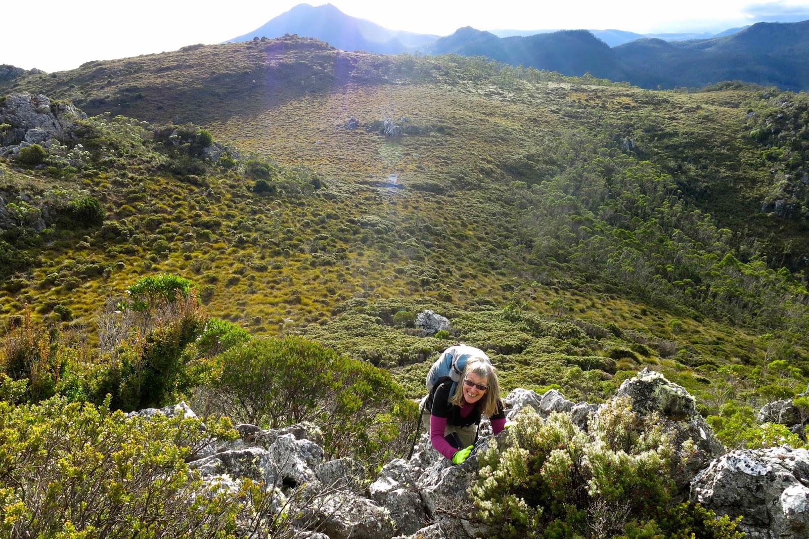
Looking back along the final scramble section. The saddle is to the right.

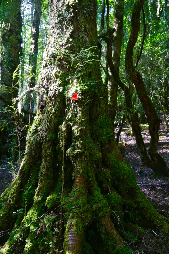
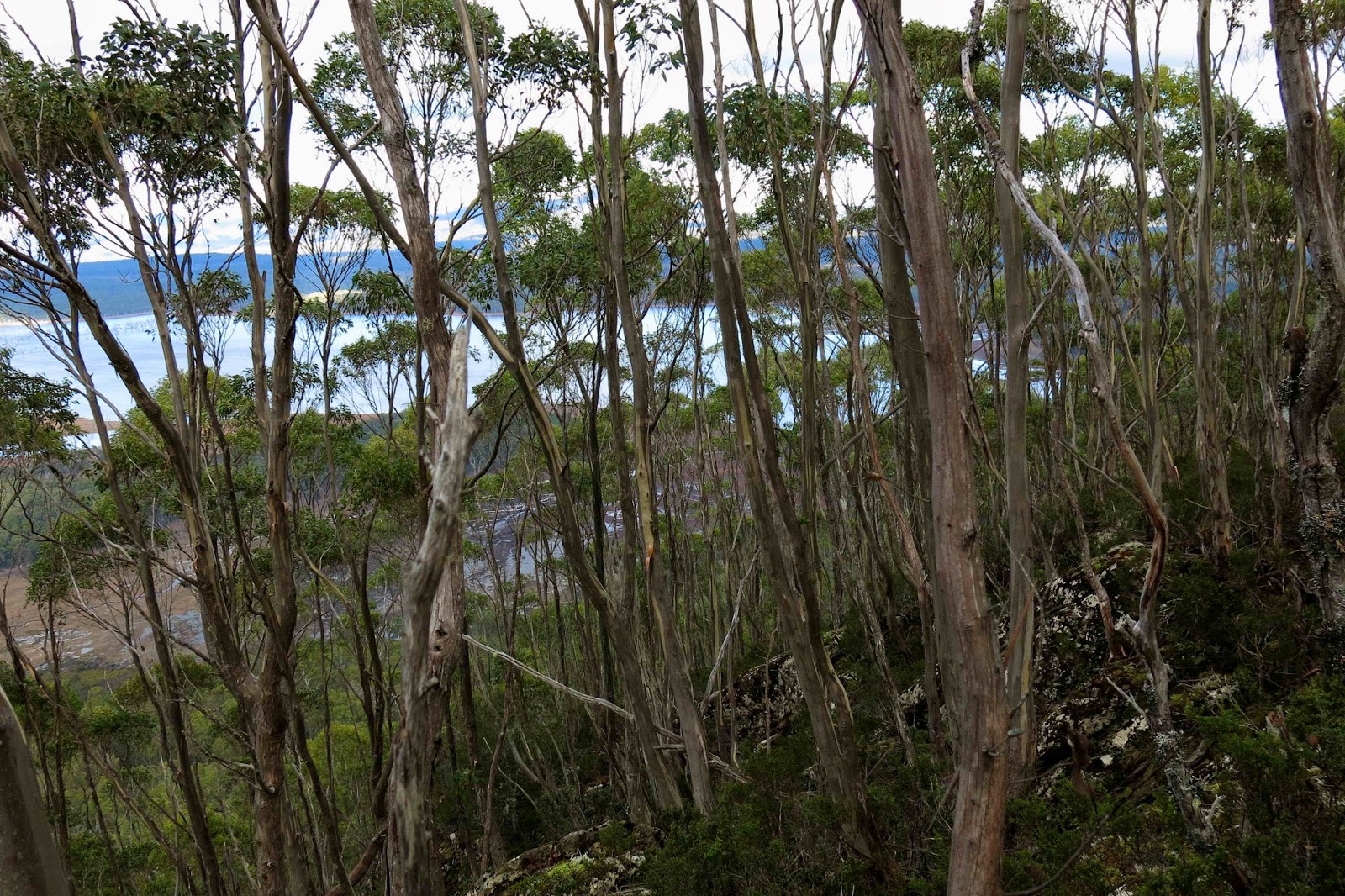
There is a very visible track with pink ribbons leading from where the Abels book tells you to park. Said track is overgrown, requiring goose-stepping so as not to trip on horizontal arms of bauera, but it’s there, and marks the easiest way through the tangle. After 30 minutes of battling this (and mud), the vegetation changes, as does the gradient, and the remaining 30 mins to Fossil Lake are easier to travel. Don’t look forward too much to the lake. I can’t think of a lake that I find less attractive. Although natural, it resembles an artificial dam with the dead trees and mud around its circumference, legacy of a previously higher water level. (In terms of measured moving times, the lake represents the half-way mark to the western – real – summit).
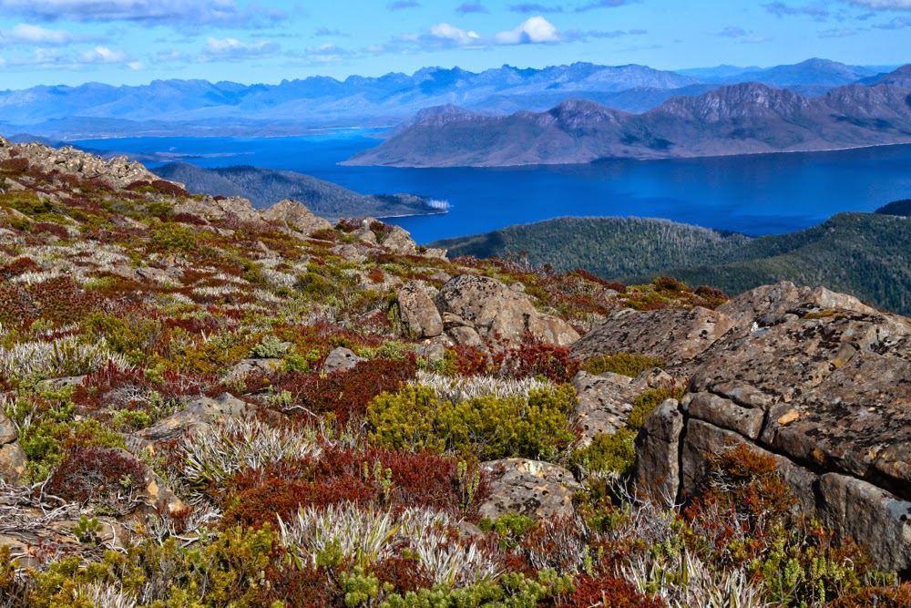
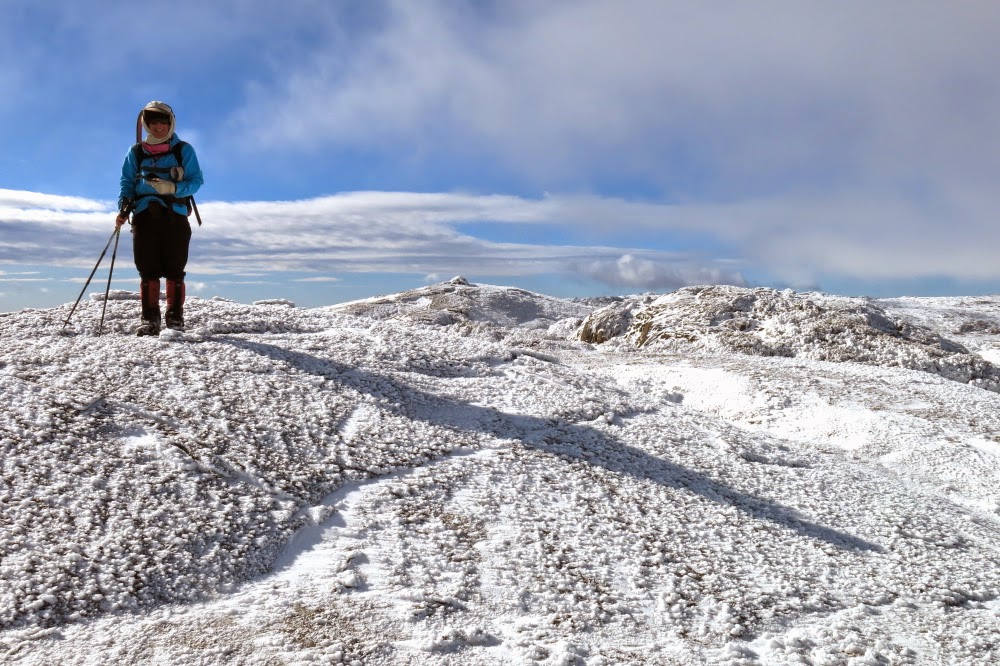
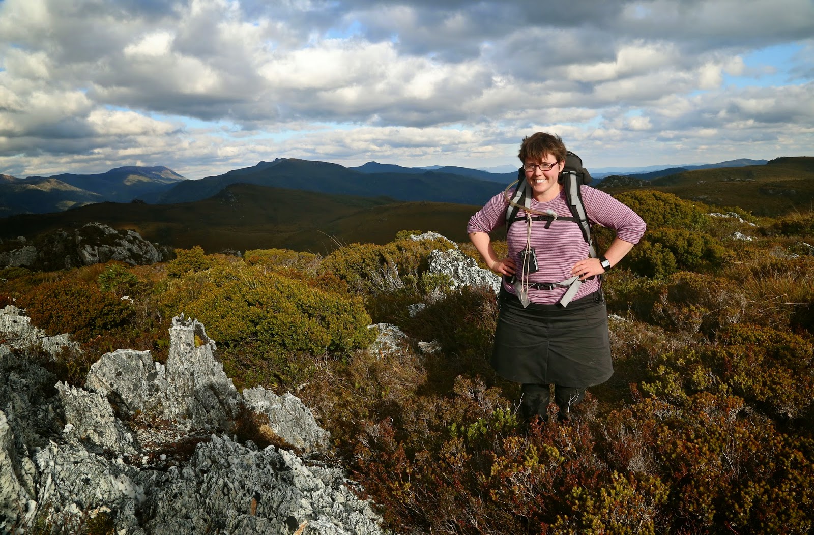
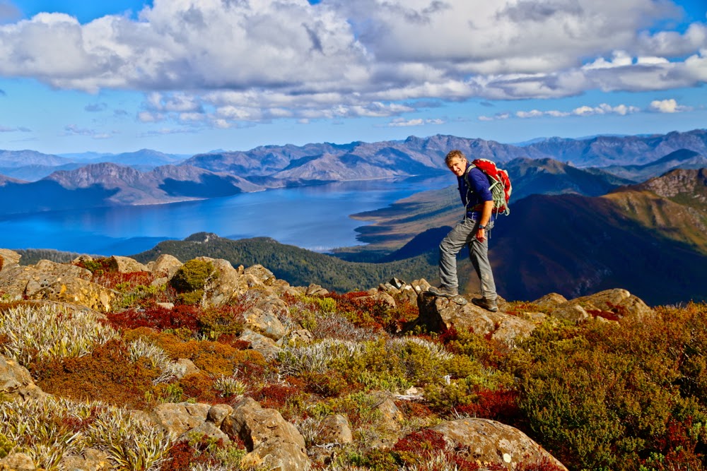
Me, having fun on top. Mt Anne group in background.

After the lake, the pad becomes very narrow (a human foot wide), but still easily visible until you reach the eastern summit of the mountain. From there its presence is patchy, but you don’t need it: all you do is stay high and enjoy the views and the pleasant ramble along the tops of the eastern high section that curves around and then descends to a saddle, after which there is a final scramble (which has cairns every now and then – they’re not needed either) to the top.

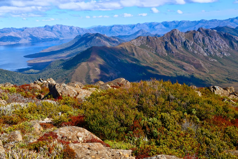
The view from both summits was expansive with innumerable mountains and ridges and ranges to be admired. Unfortunately for photography, the day was rather hazy, outlines not sharp and the lighting was flat. I hadn’t even bothered taking up my full-frame camera, but that was mostly because I was expecting it to rain in the afternoon. It held off, a favour for which, considering my pet virus which is still an unwanted bodyguest, I am extremely grateful.
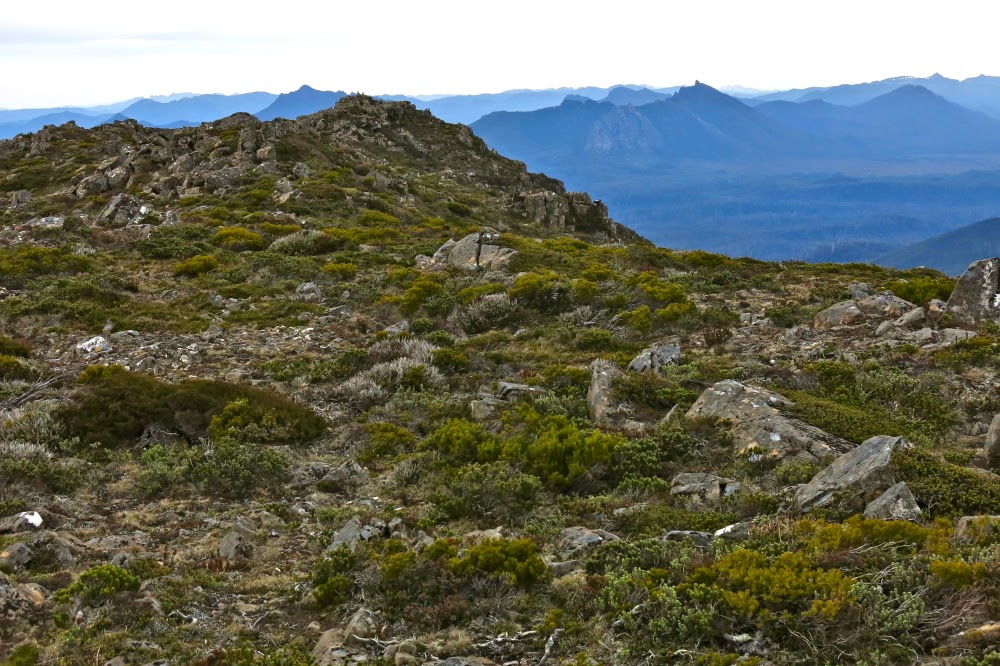
From the saddle on the descent

See:
Mosley, Geoff, Natural for World Heritage, Appendix C
Harper, Melissa, The Ways of the Bushwalker, 42
Fairfax, Louise, Complexity and Paradigm Change, Melbourne University and   Harris-Manchester, Oxford University, libraries.

Wedge 2014 Aug

Mt Wedge

 I am amazed at the number of times I have climbed a mountain and gazed across to a cloud-covered giant near the waters of Lakes Gordon and Pedder and had a friend identify the leviathan as Mt Wedge. It seems to loom large in the vistas from an unlikely number of places and directions – almost as often as Frenchman’s Cap – and has an uncanny knack of turning up to every party, even when least expected. Whether you are on the Western Arthurs, the Mt Anne group, the Sentinels, Snowy Range, Denison Range, on Clear Hill, Frenchman’s Cap, or Wylds Crag, Mt Field West or Mt Mueller (the list goes on), there it is.

 So, why have I waited so long to make its acquaintance, and why choose precisely this weekend to end the drought? I guess part of that was the knowledge that it has a track up it, and is therefor a mountain that can be done at any old time, and solo or in company; there was no rush. When other, less-hospitable mountains appeared on an agenda, it seemed more sensible to do them as the opportunity presented itself. But this weekend there was nothing else calling, and I have been sick in bed all week, so it seemed a perfect time to do a mountain that has a track. (Tracks are much less demanding than making your own way through ‘scrubbery’).  The day packs from last week’s failed attempt at getting out of the house still littered the bedroom floor. No packing was needed – just a bit more health than last week. I was no longer running a temperature. Let’s go.

 Unfortunately we had a flat battery and required the services of RACT before we could get started, killing a precious hour, but at last at 11 o’clock we were in the carpark and ready for our mountain. The sign said 5 hrs return, so even if we took the time it said, we still had enough light. Ideally we’d be faster than that and would get a decent chunk of the long drive home in the light. The early section of the walk is through myrtle forest with lots of lush moss and brown humus – not as green as some forests, but refreshing nonetheless. One goes through a sort of nature trail for a very short way and hangs a left where indicated by a sign to eventually go along a road for a couple of minutes, from which another sign points right, to the top, and the real climb begins. We took 11 mins to negotiate that kind of “pre-start” area.

The real climb is good and steep. After 36 mins (for us) the forest type changed from being predominantly mixed myrtle to a congeries of melaleuca and rather skinny pandanis. That pleasant band only lasted 12 mins, so that after 48 mins of climbing from the road, we emerged out of the forest into very low scrub, and our first close-up view of some dolerite columns that marked the cap of the mountain we were climbing. We also got our first – very exciting – view of water below and of our surrounding mountains. It looked as if the summit was just perched there above the mini organ pipes, but it took me another 21 minutes to actually touch the trig from there. Bruce was tired by that stage, and it took him about double that. I realised as I gave way to the irresistible pull of the summit that although I adore being on mountains for the view and the sense of infinitude from the top, I also love the act of climbing, even on a day like today when I have been sick and am not able to push my absolute limits. I am still able to push my own available limits of that day, and even that is pleasurable.

We descended a bit from the windy summit to perch on a rock and enjoy our lunch gazing out at the lakes far below us, and the shapely Sentinels which I adore, before a descent that was the same speed as our ascent, afternoon tea at one of our favourite little cafes in the world, viz. the Possum Shed at Westerway, with brilliant coffee and luscious cakes, and on to Launceston where we arrived in time for dinner. A goodly day.

Ben Lomond 2014 Aug Snow Walk

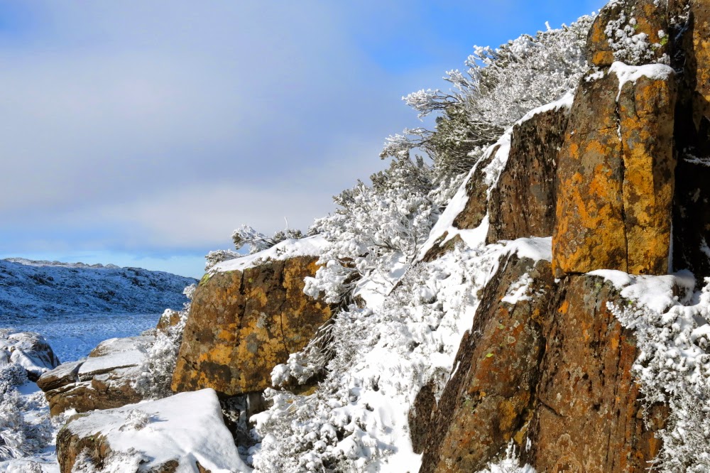
Ben Lomond on Crampons. August 2014

Carr Villa
It is my opinion that if you receive an email inviting you to come and play in the snow then you can count yourself amongst the Lucky. I thus consider myself to be a very fortunate person, as such an invitation is exactly what arrived in my inbox. I was the only invitee who could accept, so it was a party zu zweit.

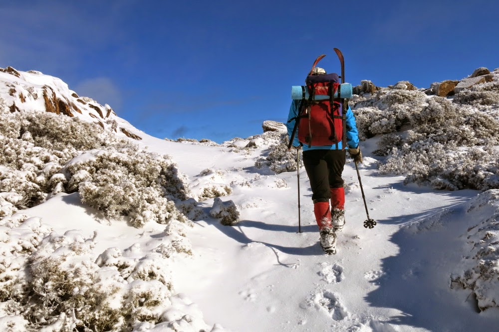
We had only half an idea of what conditions would be like on top of Ben Lomond, our destination, so each selected a variety of play tools. I took 6-point crampons and my Grivel spiders, as well as short XC skis and poles. Phil, the initiator of the expedition, took very short skis and walking poles for us both, and spiral-wire shoe chains as his chosen anti-slip device. Once we could see the vast amounts of ice around Carr Villa, it was obvious that walking without either crampons or pseudo ones was out of the question (I nearly went for a sixer just crossing a 2-metre band of ice before we’d begun). There was not enough snow for real XC skis, but we might have enough for the little ones up higher where we were climbing. We both took them in case.

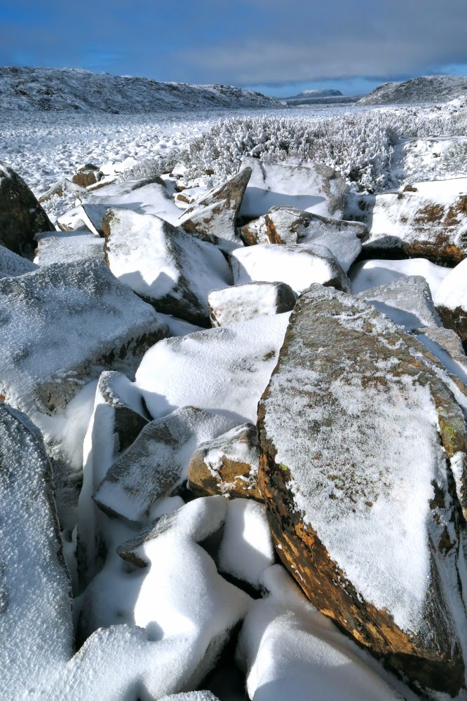
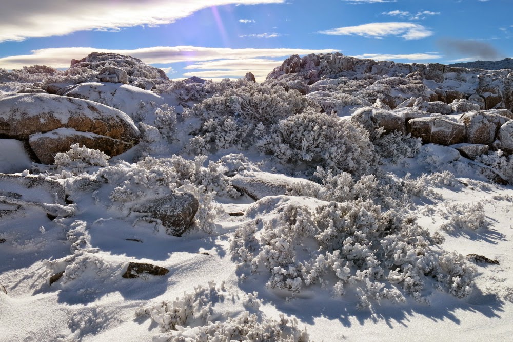
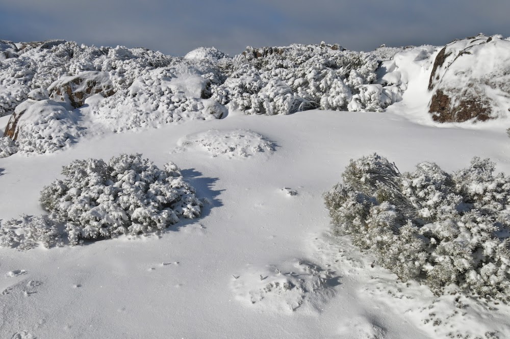
 I kept trying to work out what it is that makes rocks covered in a light dusting of white powder so very appealing, but never came up with an explanation that satisfied me: all I can do is talk of the observable outcome, viz., the fact that most of us find rocks with a soft, finely textured layer of white, delicately poised on the uppermost surface, to be a glorious sight. As often as possible, I zapped out my camera and took a few shots. In my haste (I didn’t want to delay things with too much photography) I barely had time to notice if my efforts resulted in a photo that would later please me, but the attempts were fun anyway. Up higher, the landscape was almost totally white, but it still retained moments of colour from the underside of bushes and twigs, or the sunny side of rocks. The scenery was spectacular, especially as we were lucky enough to have soft blue sky as a background, and sun to give lustre to the snow. Blue and white: the well-chosen colours of the Greek flag. These are also the colours of our east coast beaches that I love so much. It’s always a combination that pleases me.

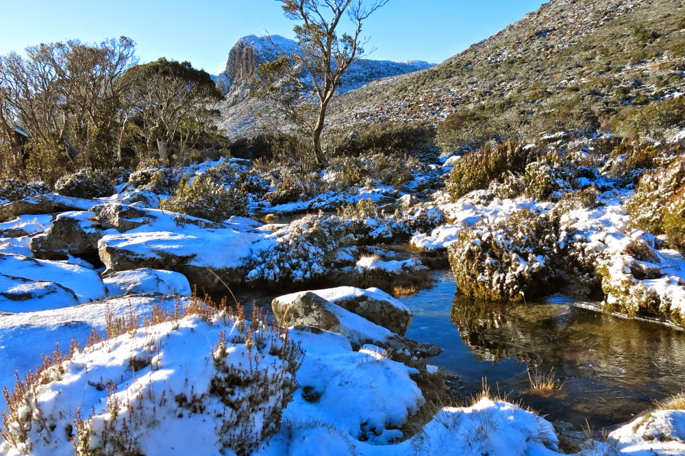
Phil going up a shallow gully

 At first we followed the path from Carr Villa up towards Legge’s Tor, but at some magical point hived off and headed to the right towards Borrowdale Valley and Old Bill’s Monument. I have never walked with poles before, but found the combination of spiders on my boots and poles to help propel me forwards felt like cross country skiing without the forward slide each step, and I enjoyed the exercise as well as the scenery.

Phil’s lump I

Once nearer to the monument, we climbed a few lumps on the terrain which were, I was told, nameless, so I christened them, at least momentarily, Phil’s lump 1 and II. As Phil is the first person to have climbed all the Abels and all the Abelettes, he deserves something named after him. We were basically just playing up there, enjoying the beautiful white scenery and the fun of movement in it. Phil’s lump II (which had two separate summit cairns) had a view way down into the green valley below, past the rocky organ pipes and piles of broken rock that formed chutes between the top and bottom. Phil indicated his chosen descent chute and we began our way down, keen at this stage to get out of the biting wind. That second lump was high enough to feel the brunt of the cold blast.

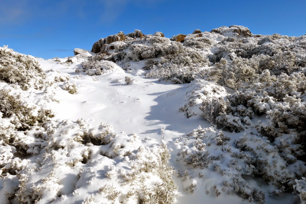
Nearly at the top of the lump.

The descent and the long traverse across the bottom to the car were much slower than the dance up onto, and then along, the plateau. We had to be very careful on all the jagged rocks that presented a line or point rather than a plane to the foot and that each harboured its own little ice-snow cap. I was too scared to risk jumping, and kept up four limb points of contact for two (or was it more?) hours of the traverse. Some people pay vast amounts of money to go to the gym. We had a mega full-body work out and paid nothing if you don’t count the foot gear that has served us often and will continue to do so in the future.

Phil’s lump II (one of the summit cairns)

Phil with the other cairn behind him
I returned home tired and with a good appetite for the delicious food Bruce had decided to cook in my absence. The only negative was that I now had to quickly dry my gear so I could have similar fun the next day down south with my Pandani friends. I was a going to do the long drive that night, but now opted for setting the alarm for 3.30 next morning instead. The hot shower felt very good.

Nevada Peak 2016, 2014

Nevada Peak, Second try. Feb 2016. (Attempt 1 is below).
Yesterday, I at last reached the summit of Nevada Peak, and, of course, was pleased to finish this (at the time) uncompleted business. The mountain is very beautiful, and I wish to return there with my husband, turning it into an overnight trip, and sleeping at Snowdrift Tarns. My photos, however, do not please me, as the lighting was tricky and I didn’t do a good job. At the end I have provided a jpeg image of the route in case that should help you. I would also like to offer a different opinion to the writer of the essay in the Abels book, as the writer made it sound rather arduous. I did not find it at all so, and was at the top in just over two hours, rather than the three said by the book – and that was at a very measured, happy-chatty pace.
My favourite images remain the snowy ones from my first, failed attempt, below.

Attempt 1, Aug 2014


The track at the start.

Not for the first time (see two other links below) one of my best walks in terms of beauty and fun has been a walk where we failed to reach the summit. I was going to write “our goal”, but isn’t the goal actually to have a wonderful day in the wilderness rather than necessarily to reach a summit? The summit will wait for me. I’ll get there some other time, but we had a beautiful day in the bush, that’s for sure.

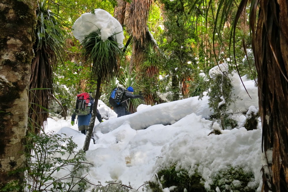
There is a beautiful Pandani grove on the way up.

For me, the day began very, very early, as I had to get up at 3.30 in order to meet my friends at 6.30 at Kingston, and then drive some more with them. We all knew there had been a heavy, fresh dump of powder; we also knew that there was a possibility that we could not even reach the starting point of our walk due to deep snow or floods or a thick tree blocking our path, but we were all ready to give it a go anyway.

Pandani with hat

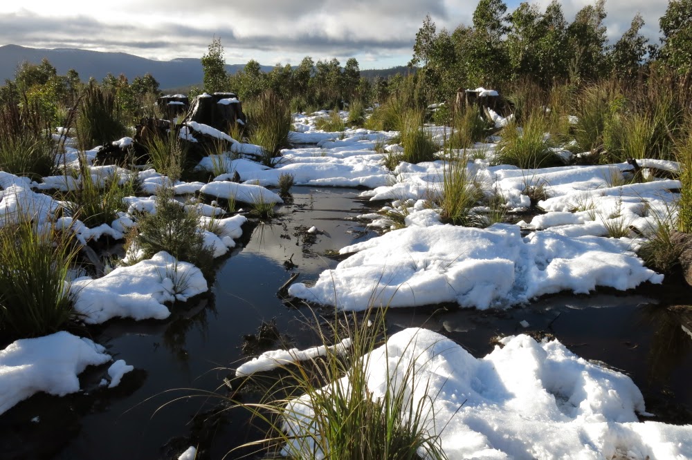
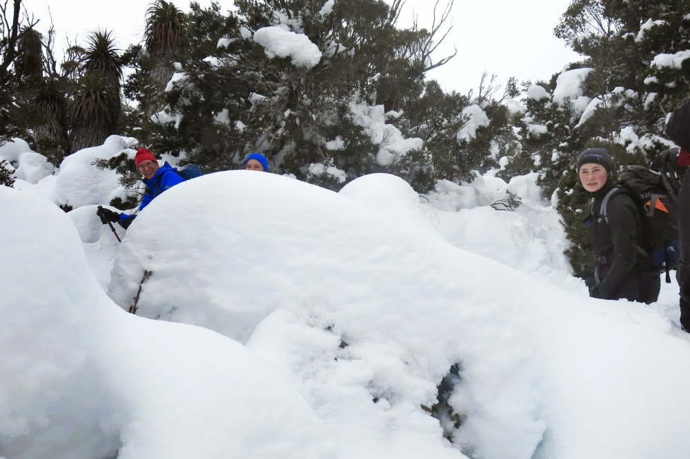
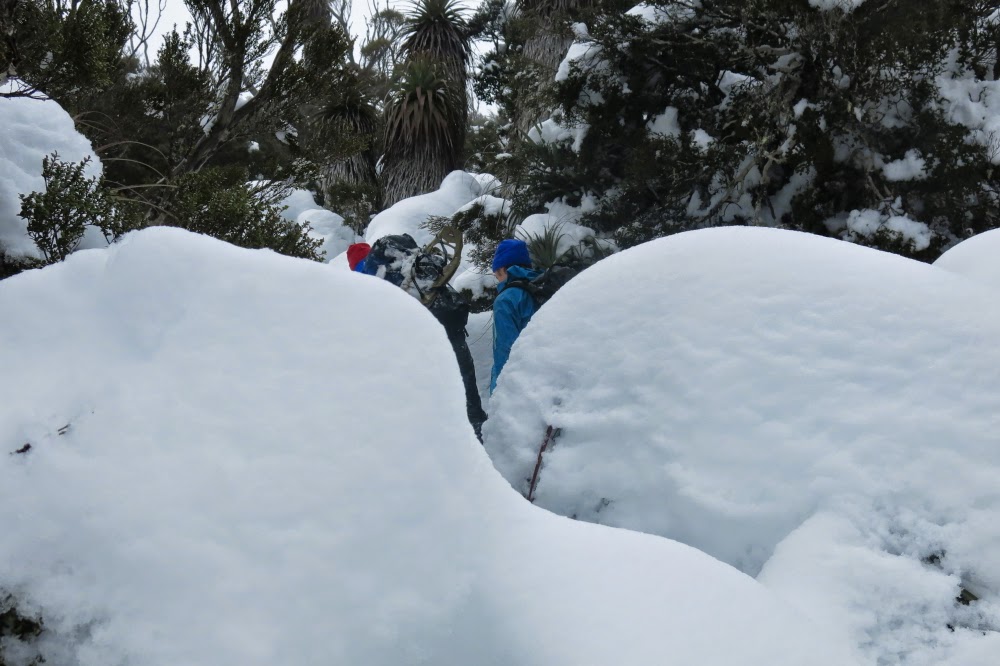
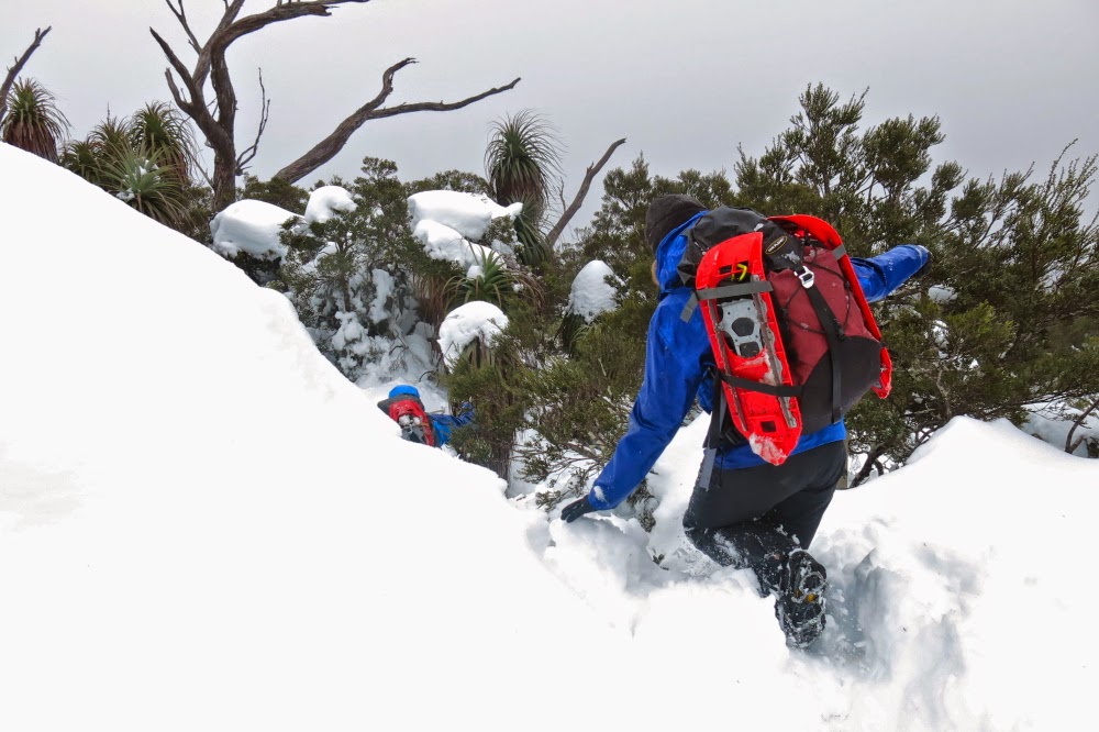
Tasmanian rainforest with a cover of snow is a very beautiful sight. We worked our way through the snowy fairyland, stopping to regroup, climbing steadily, but not speedily. My main impression of the day was just the joy of being there in such a fabulous environment. Towards our turnaround point, the snow was chest deep and it was becoming even slower, and extremely tiring for anyone in the lead to force a passage through. It didn’t matter. Nothing mattered. We were all enjoying the moment, and also all aware that we were starting to get pretty cold. It was time to head for home.

 Working the thick snow

As I enjoyed the downwards trip – made significantly easier by the fact that we just had to follow our own snow ditch – I pondered how good it is to be doing this with other like-minded people: people willing to get out of bed early and enjoy a couple of minor hardships (like being cold, carrying a pack, being fit enough to enable the project) in order to be in supreme beauty and have fun while being there: it would be much too dangerous (idiotic?) to go into an extreme environment like that solo.

Route taken for summer completion of the job.
Links to two other walks that are amongst my favourites even though we never made the summit due to snow:

Charles + Bee Hive 2014 Jun

Mt Charles and the Bee Hive 21 June 2014.

Given that my husband and I have made a snap decision to go to Europe next weekend, I feared that going off collecting mountains here in Tassie today sniffed suspiciously of irresponsibility and self-indulgence. I should be home mowing the lawn, tending the garden and getting ready to go away. But I really needed to get out and walk up mountains, sit on top and hear the sound of friendly voices. I signed up for the Pandani trip, set the alarm for an ungodly hour and once more found myself driving slowly through the thick fog and darkness of the low agricultural lands, wending my way towards our meeting point at the pub at Derwent Bridge near Lake St Clair.

King William I, Mulligan’s Peak, Mt Pitt and more (Slatter’s Peak I think) from Bee Hive.

After Poatina the beginnings of colour in the sky began to emerge and as the road zigzagged to gain height I got to watch the sunrise on the zigs. By the time I was passing the Great Lake on the tops, the sky had the dusky pink alpenglow that I love so much, and the fog was reduced to thin, attractive wisps here and there. It looked as if it was going to be a lovely day. It was great to be out in its wide spaces and to have the prospect of a new mountain fuelling my excitement while I drove.

Lake King William, seen behind the striped blinds of skinny, underfed eucalypts on the summit of Mt Charles
It was also just what I needed to enter the pub and see friends again, most of them circled around the fire having coffee or hot chocolate before we set off on the business section of our outing. Hugs all round and we were soon away on our next adventure – a very little one at first, as the club had acquired a key to a magic gate, so we drove to an old flying fox apparatus that my gps says only left us 130 vertical and 550 horizontal metres to climb to the summit. This was pretty quickly dispensed with, even though we lingered for quite a while on the top, gazing at the unique view that Mt Charles offered of Lake King William far below.
We had not done enough, of course, so off we went to the next mountain, the Bee Hive, near two peaks that most of us did together less than a year ago (Calder’s Lookout and Mt Arrowsmith). This one was a much longer enterprise: 16 kms round trip with a scanty 240 ms climb, all done in a rush at the end.
Summit area, Mt Charles
Over 7 kms in each direction were along the Bee Hive canal dirt road (locked), beside the canal. We all proceeded fairly purposefully at a pace we never do in the bush. It made for quite an interesting change, almost marching rather than pushing and goose stepping, weaving and dodging, but chatting furiously the whole way. On the way back, Bec and I saw the most humungous paw print: we assume that of a grandpa wombat. He must have been a mighty specimen to make a print that big! We also saw, at the other extreme of the size spectrum, a tiny little antechinus. The fact that it was dead was sad, but it gave us all a chance to have a really close inspection. It was a darling little thing. Apparently the male of this species manages a record-breaking,  twelve-hour-long copulation, after which he dies of exhaustion. The female bears, raises and weans the resulting litter, and then usually also dies, similarly effete. They’re the smallest marsupials, and look somewhat like a mouse, a little like a miniature hedgehog from the distance.
Bec has just finished her exams for this semester. She, too, was very happy to be out here with her friends.
The lighting on top thrilled me, with patches of sun set against brooding and ominous coal-grey cumulus clouds in a moody scene. The quartzite rocks lit up when they caught the sun, already sinking in its short, low, winter arc across the sky.
Becca on Bee Hive
I was not well, so was in survival mode (and I was carrying my heavy 6D camera plus another one, so did not fancy falling); I therefore enjoyed being a spectator rather than participator of the game of button grass bounding that took place on our descent. It is quite hilarious seeing a man in a kilt (which Graham had chosen for the day) bouncing like a bunny rabbit from tuft to tuft. Graham was rather evasive when questioned about how traditional he was apropos of undergarments and kilts. He was obviously pretty confident about not toppling too badly. Mounds of button grass are not the most predictable of landing places that this earth has to offer.
Coralie climbing an extra little bump we did on the way back

Soon enough it was time for the long haul back across the central highlands, dodging wallabies, paddymelons and possums, and trying to stay awake as I headed for home, starving.

Beautiful Mt Gell with a spotlight on her southern flank