Rufus 2014 Icy sleepover. Jun

Mt Rufus and my coldest tent night ever. June 2014.

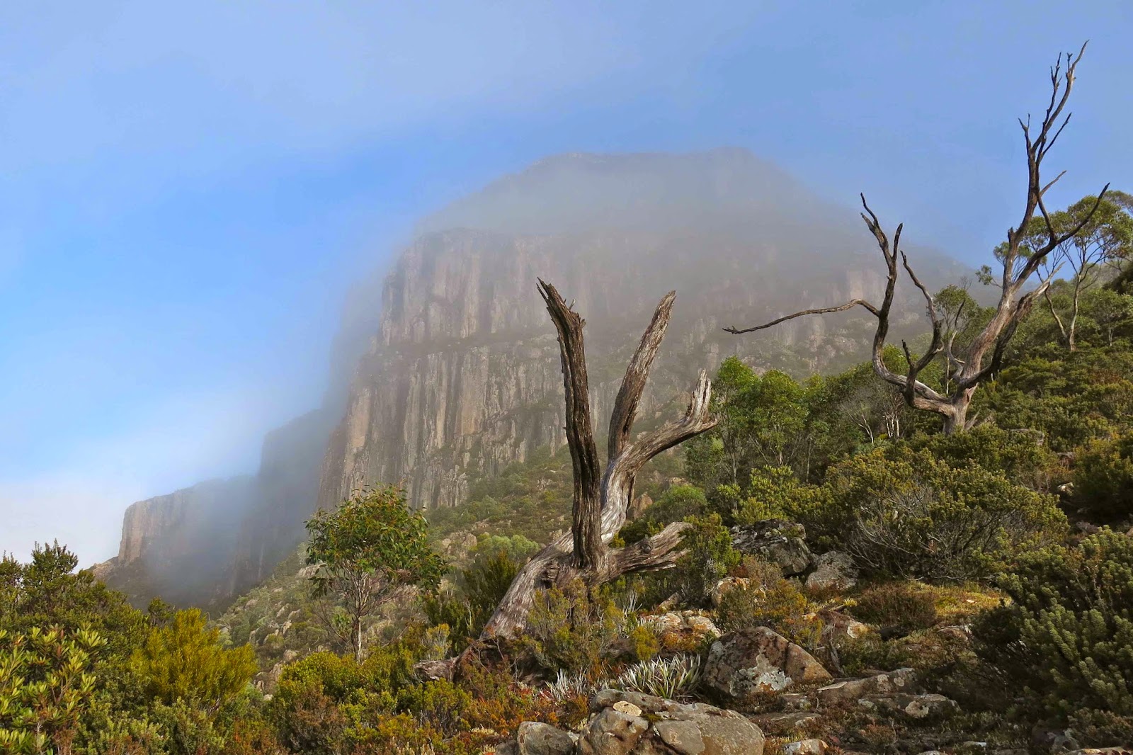
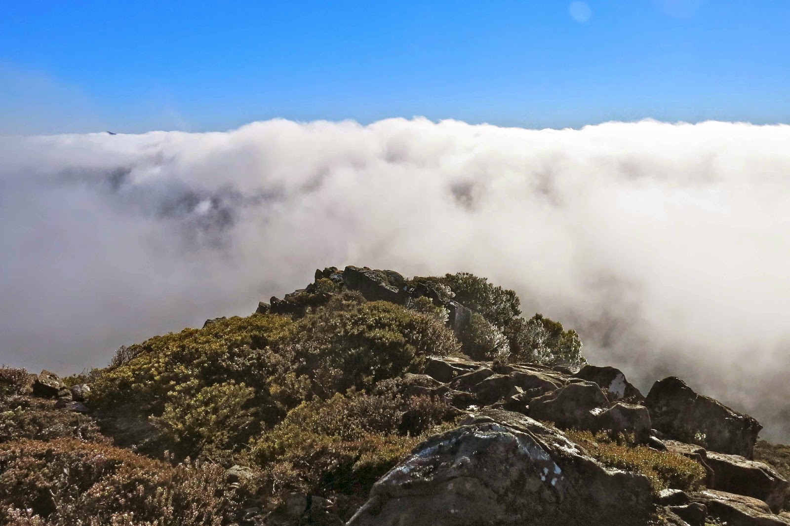
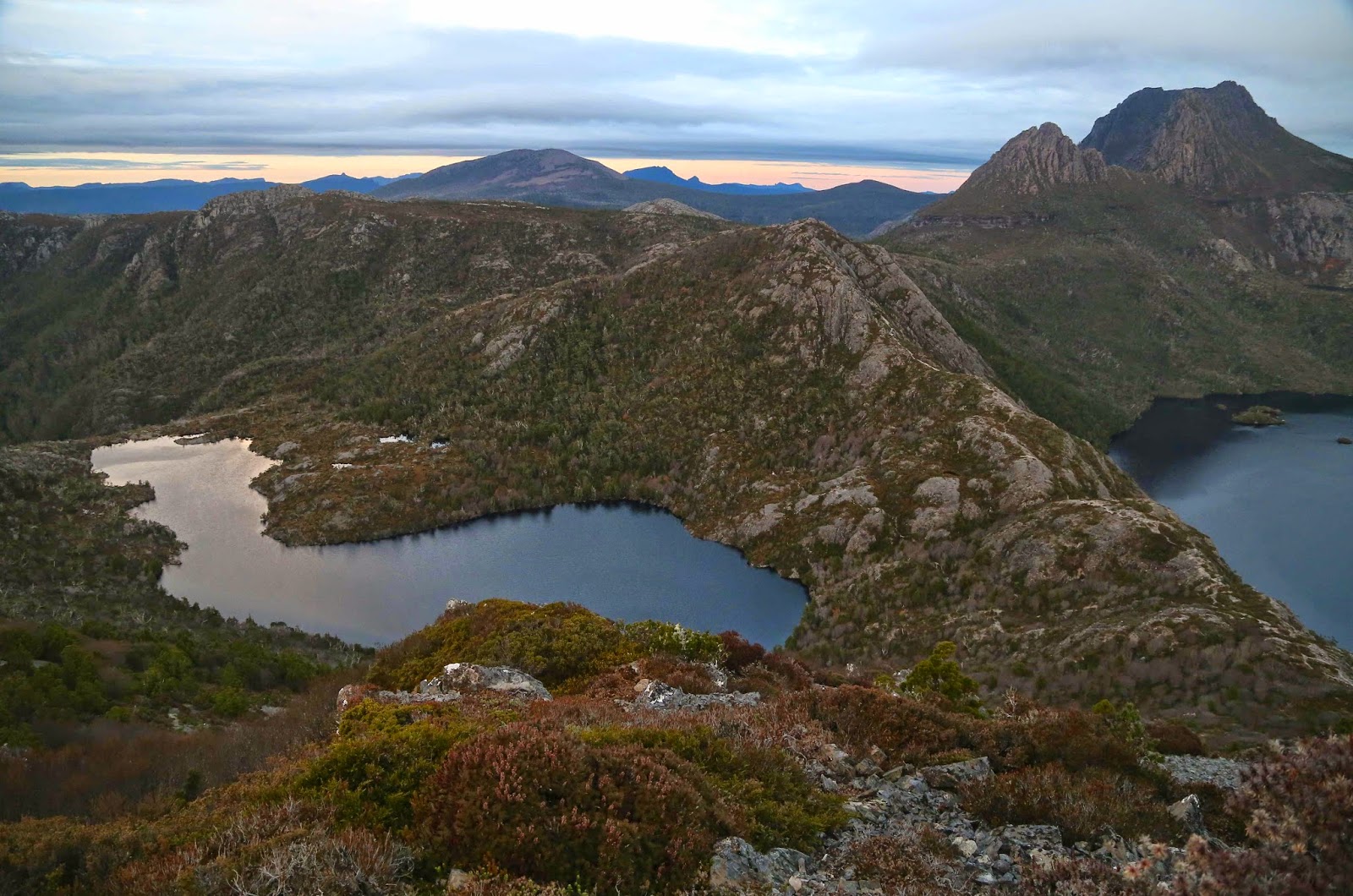
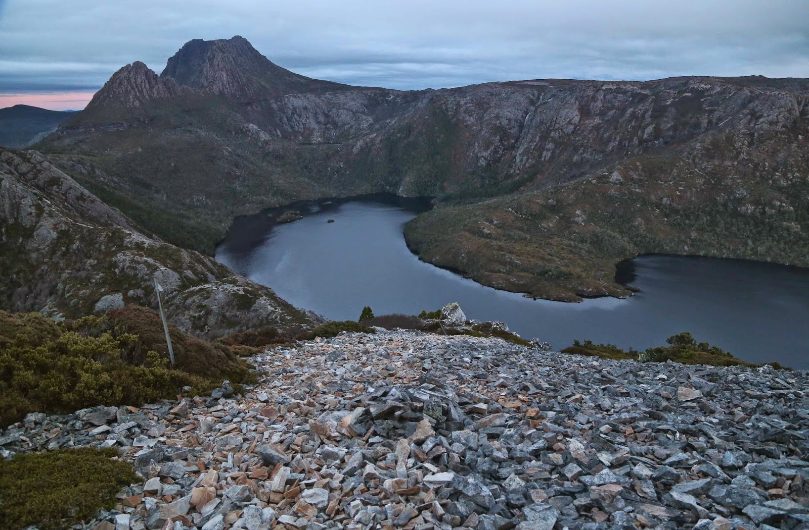
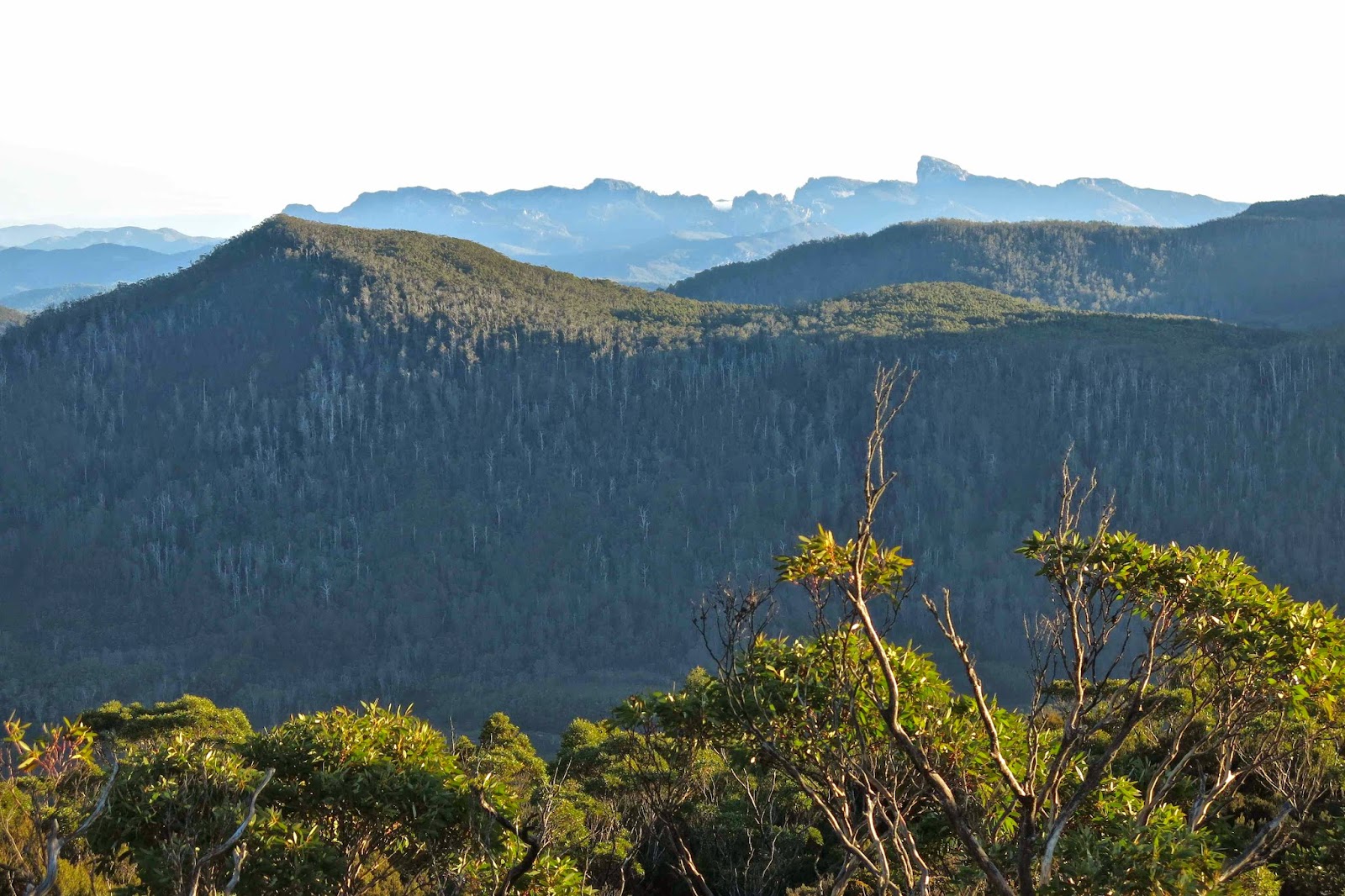
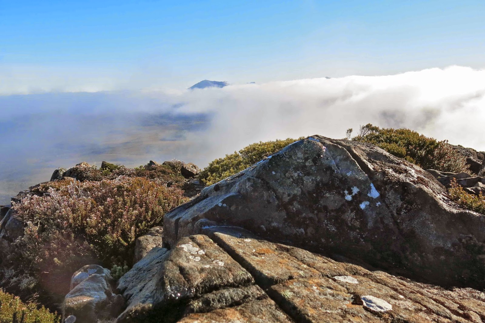
The morning of my climb, Here is Rufus as seen from King William 1 earlier in the day. Should I climb her?

It was the depths of winter, and I was out and about solo.
I decided to camp on Mt Rufus and see what sunset and dawn were like from up there. I like sleeping on summits. I chose the Gingerbread track as my route.
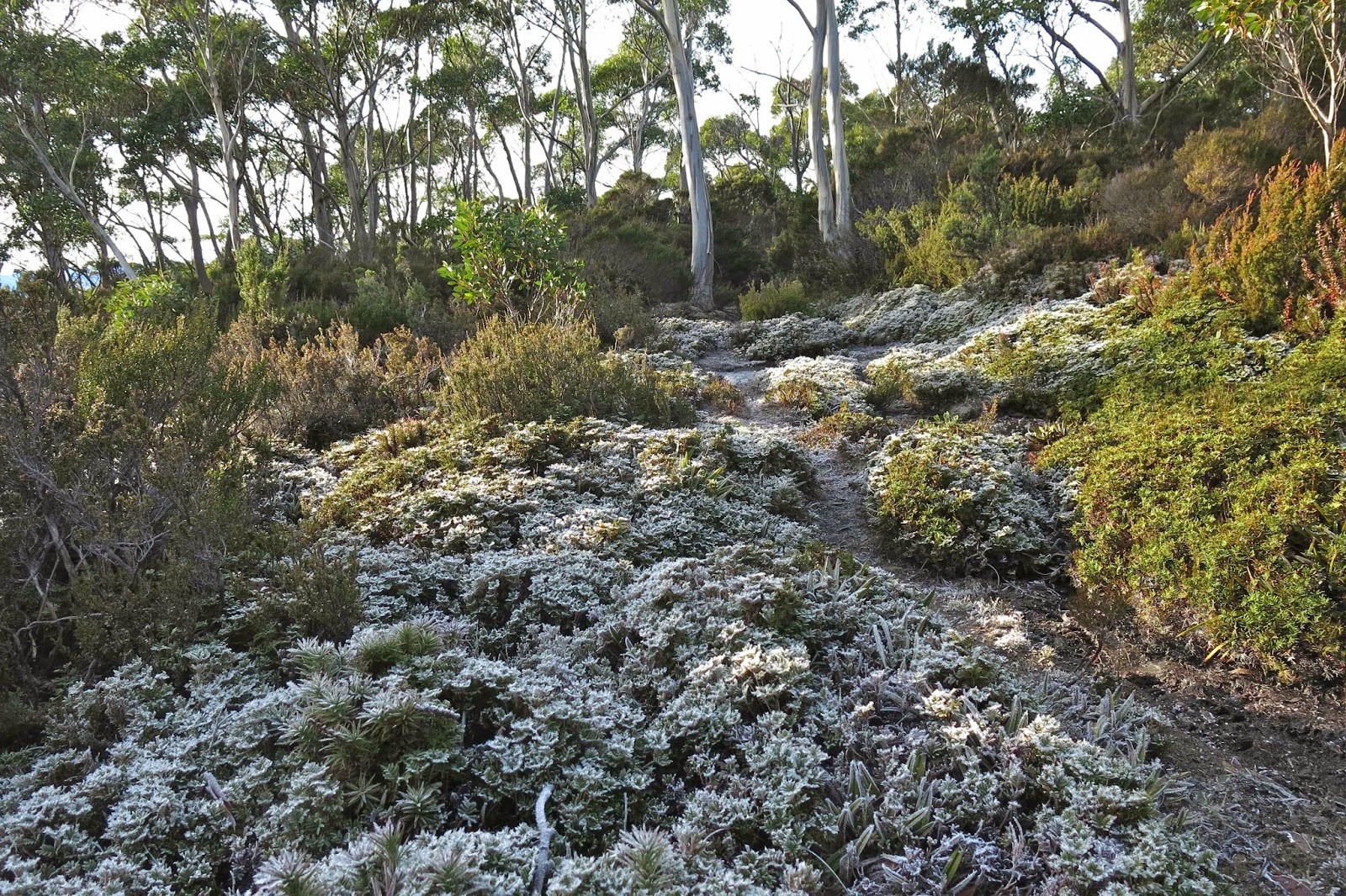
All went well as I made height, until, just short of the summit, I came to a dramatic halt, and the first of many slides backwards. The top was now tantalisingly close, but every attempt to gain more height was met with a backwards skate which even wild clutching at green matter could not avert. There are two small huts on this approach to Rufus, and I had inspected both en passant while climbing. However, there was no way I was staying in either. Among the many objections (dust, gloom) was the main one, viz., that one little bod could never generate enough personal warmth to heat a hut. Much better to sleep in my tent, and to pitch it very quickly. I was rather alarmed at how speedily and suddenly everything was now freezing up. The whole mountain seemed to have instantaneously turned to ice. It was 4.40. Retreat to the bottom was not in question. I had to find something relatively flat and get the tent up, pronto, before my fingers froze to numb incapacity.
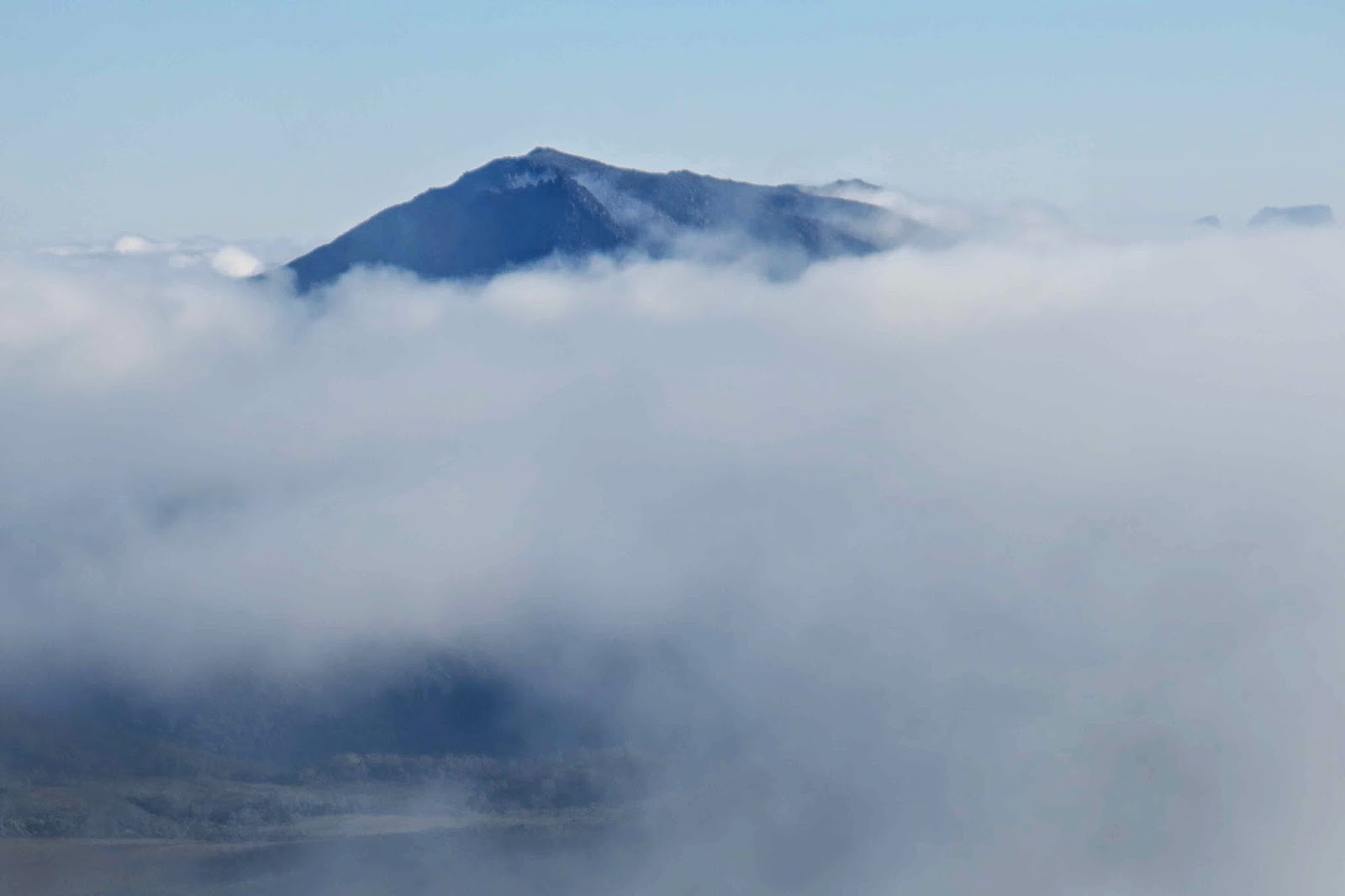
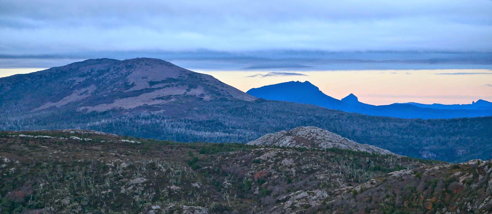
Closer shot of Rufus calling from afar.
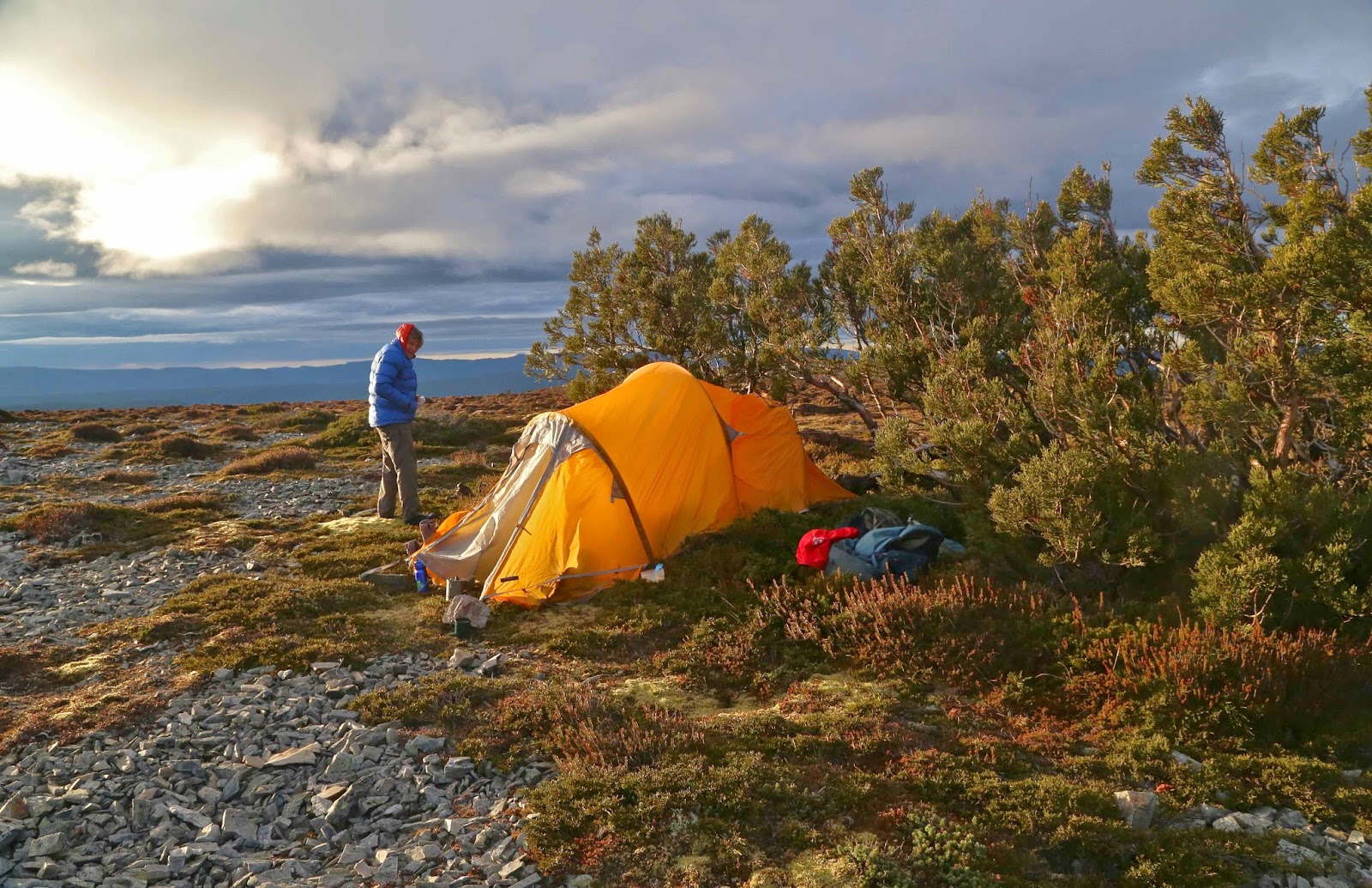
I worked quickly, trying to feed the pole into its slot, and sighing with relief when I heard the final click that meant the ends were now in their rightful positions. With light now waning, I decided that the next important job was to cook. I didn’t want to use the vestibule and create a condensation problem, so felt very brave and cooked outside. First a cup of soup. While I drank it, enjoying warming my hands around the mug’s circumpherence, I noticed with alarm the way ice crystals were forming on both my gaiters and boots, climbing, as I watched, like a march of white ants up my legs. The tent flaps were also icing over as I drank. Quick. Cook main course too before you need to retreat inside. Dessert (chocolate, nuts and honey) could be had in my bag, later.

Climbing Rufus now

By 6 pm, I was inside, everything arranged for the night. I’d brought in a bottle of water and placed it under my sleeping bag so I’d have flowing drinking water in the morning when all creeks would be frozen. I placed another cup of water just outside, in the vestibule, about 20 cms away from me, so my body warmth would hopefully prevent it from solidifying. (I didn’t have it inside in case I knocked it over). I didn’t want frozen boots, so brought my boots and gaiters inside and placed them under the bottom edge of my sleeping bag (which is too long for me, so protects items like that).
To bed, I wore 2 icebreakers, an O top, a fleece jacket, an Arcteryx thick jacket with hood up, possum gloves, helly long johns, O pants, lined outer pants, and 2 pairs of thick woollen socks, all inside my down bag which is good to minus five degrees. Underneath, I had a thick sleeping mat, and beneath that, a layer of carpet underlay. Then I tucked the end of my sleeping bag into one of my goretex jackets to protect the bag from moisture dropping from above (should the ice somehow melt), and another goretex jacket over my shoulders and upper torso. Over the middle section of my body, I placed my other down jacket. I was, you might say, well rugged up for this night … yet I was still cold.
I thus embarked on a multi-hour exercise programme designed to keep me alive. Whenever I stopped, I could feel the cold creeping into my core, so began again. Mostly, I did bicycles, sometimes “Worms” – a kind of wave or serpentine writhing. Other times I did crunches and sit ups, and at yet others, went through a series of exercises our national coach once taught us, where we isolated each muscle in the body, and practised contracting and then relaxing it. His emphasis was on learning to relax; mine was on movement of every muscle to try to generate warmth and keep my metabolic rate at survival level. I kept all this up without looking at my watch, as a watched watch never progresses.

At 10 pm, however, I indulged in a peek. I was happy. Five hours down, nine to go. Over a third of the way there. Next peep was at midnight. Seven down, seven to go. Hey, I’ve survived half this night, I can do the other half.
At 1 a.m., however, doubt crept in. My toes were getting numb, the backs of my hands were hurting, and I had developed a headache. When I sat up, I had to prise my now frozen hood from the also frozen tent flap, to which it had stuck in an unbroken stalactite. I noticed that the cup of water 20 cms from my body was a solid frozen block: not just iced over, solid. I remembered at this point that the worst was yet to come, that the coldest hour of any night is one hour before dawn, which meant there were five more hours in which it would get even colder. Could I keep up five hours more of this? I wasn’t fatiguing yet, but feared I might at some point in the future. At this juncture, I had a little midnight feast, not because I was hungry, but because eating raises your metabolism. Down went more chocolate and nuts, and some dried mango for variety.
Believe it or not, I never posed the question: “What am I doing here?”, as I knew the answer. However, I did hear other imaginary people asking me, and while I lay there, I answered them. I explained that however much I enjoy contemplation – reflecting the sapiens part of my species’ name – I was also of the genus homo, order primates, member of the animal kingdom, and want to be allowed to be part of nature – and nature, is, by definition wild, not tamed by the pusillanimous and rapacious desires of bureaucrats and politicians.
Like Roger Deakin or Robert Macfarlane, whose books I greatly enjoy, as much as I enjoy culture – fine wine, theatre, restaurants, artwork,  musical concerts – I also want to be part of the Wild, to be truly free. I do not want to be a member of our Brave New World of cosseted, somatised and compliant beings. I want to live, truly live, which means to know extremes. Here I was, experiencing a variety of the fury of nature, being wild and truly free.
I was worried about falling asleep, as I know that to fall asleep under certain conditions of hypothermia is to die, and that one must keep moving. I thought of the Jews who scored outer layers in the vans heading for Auschwitz, who died overnight. Penguins take turns at taking the outside, but not these prisoners, it seems. I thought of the Germans retreating from Russia, many of whom just lay down to die in the snow. I thought of the gutsy Russian survivors of Hitler’s siege of Leningrad, who, despite having almost no food or warmth during Hitler’s long cutting of supplies and energy to their city, nonetheless managed to endure much harsher conditions than I was now experiencing. I thought of how I’ve trained in Sweden when it was minus 15. The key is to keep moving. And I thought of my athlete friend from Austria, Gudrun Pfluger, four times world champion in my sport, who has run with wolves in Canadian forests, tracking and observing them in order to help save them. She must have withstood nights much worse than this. And while I thought, I cycled and continued my regime.
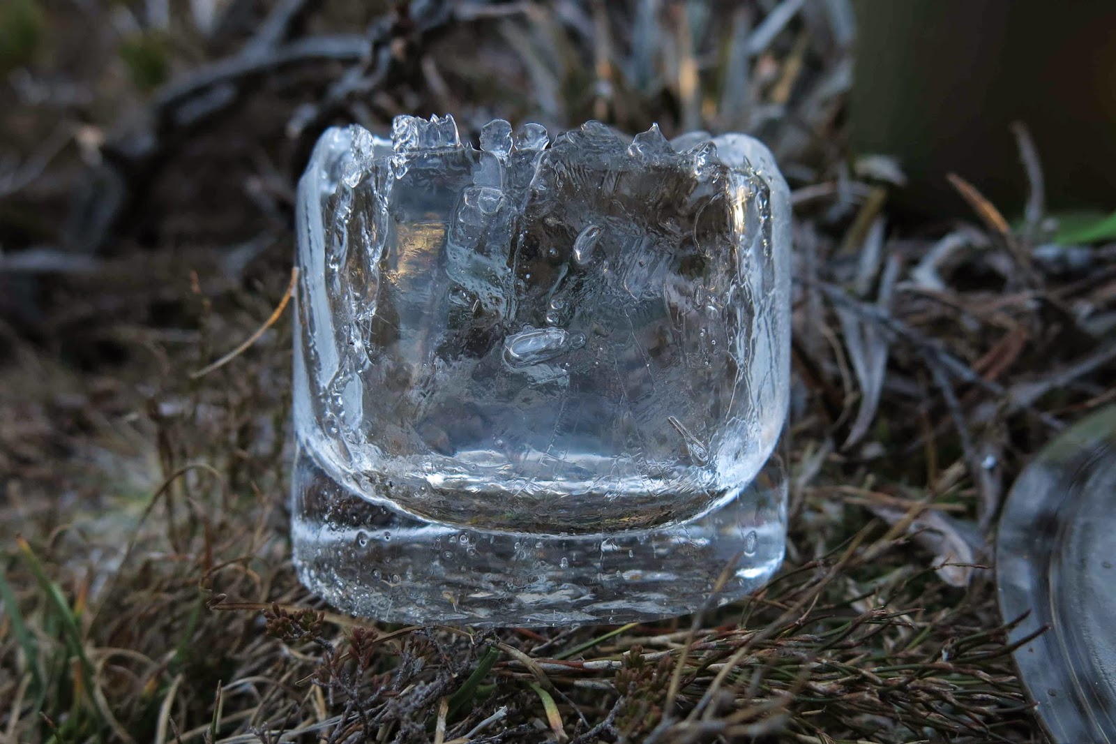
My cup-iceblock after I’d melted out its innards
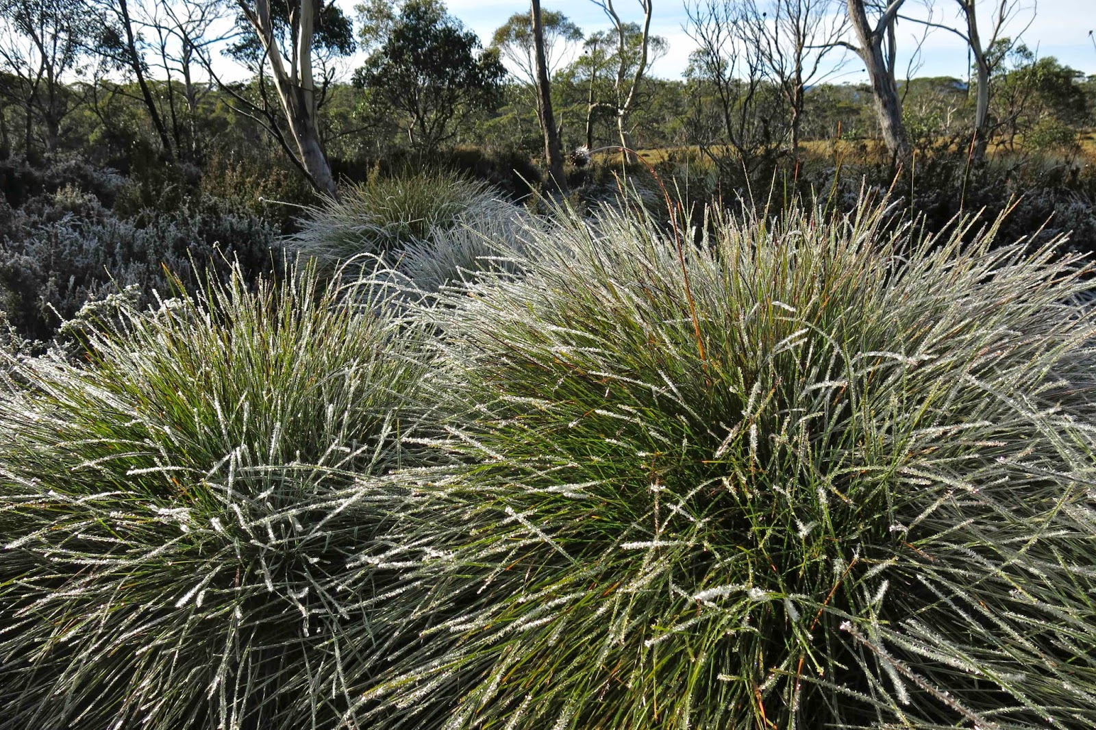
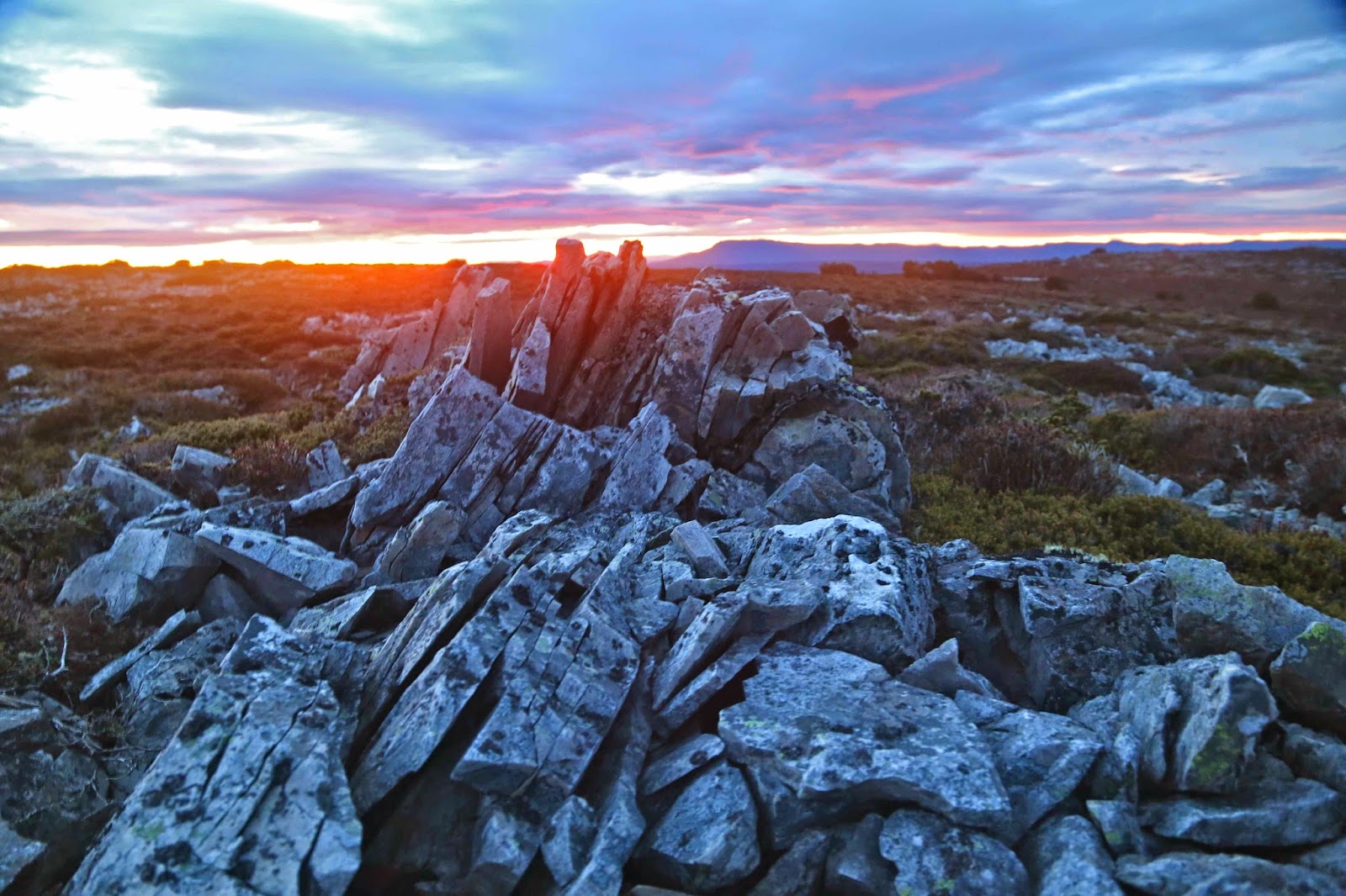
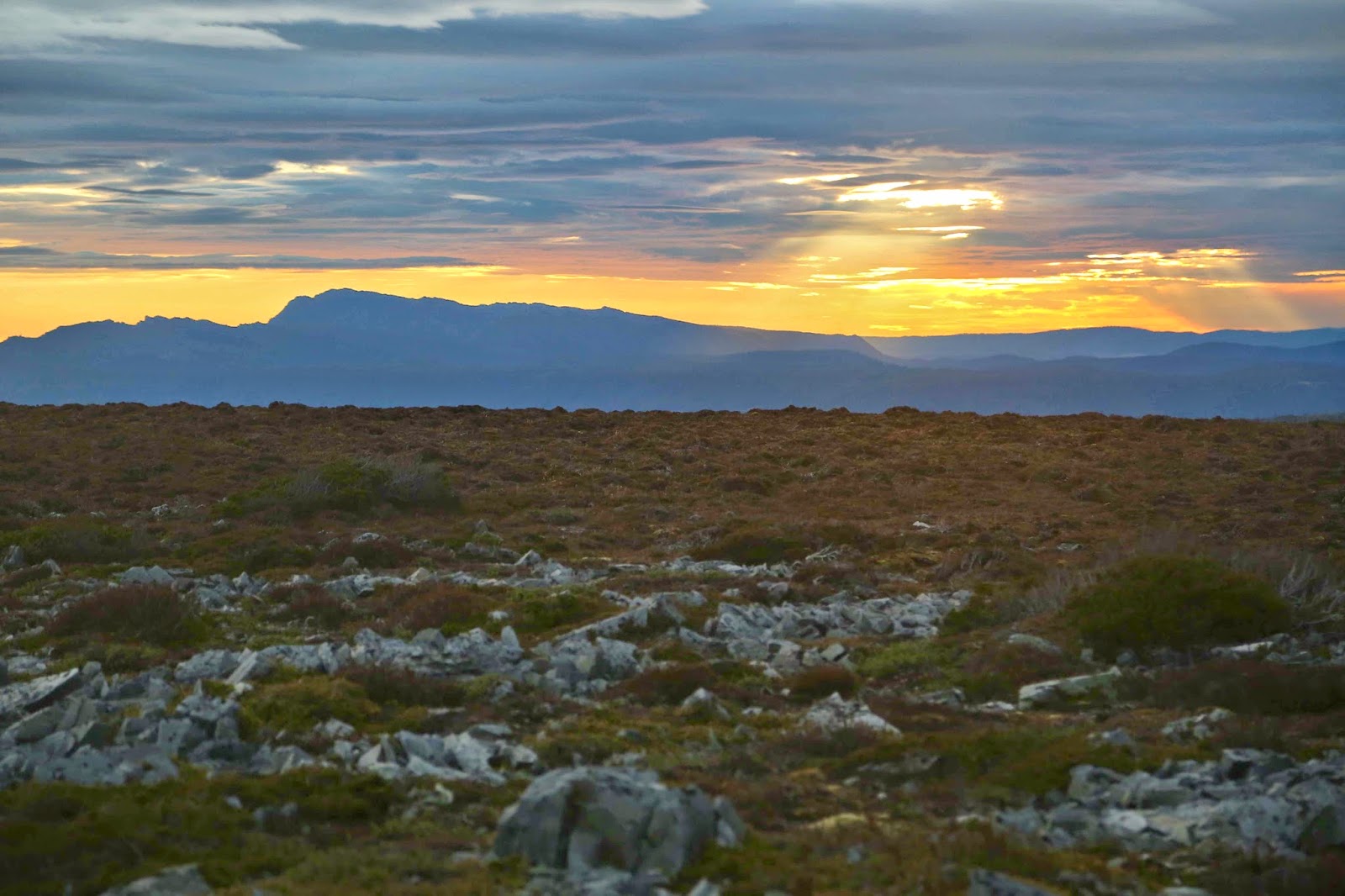
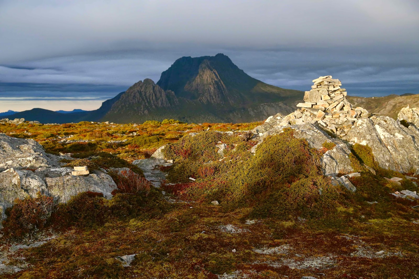
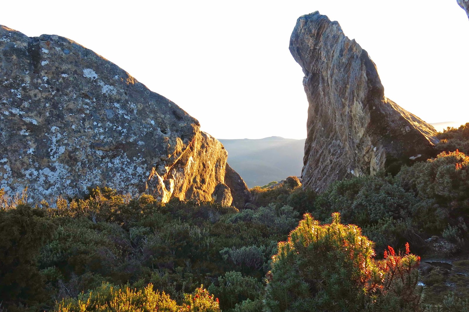
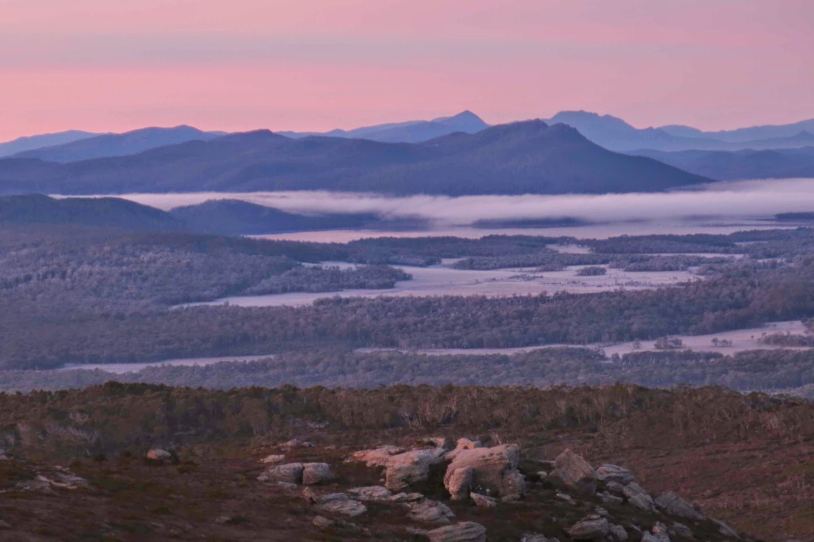
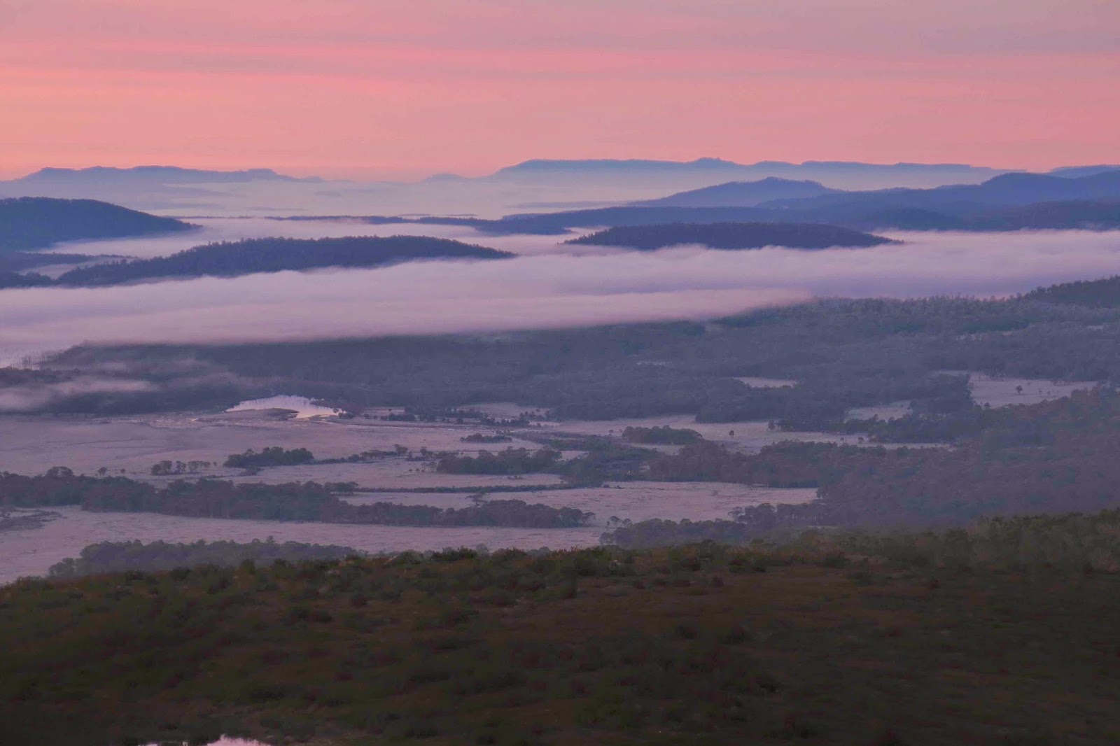
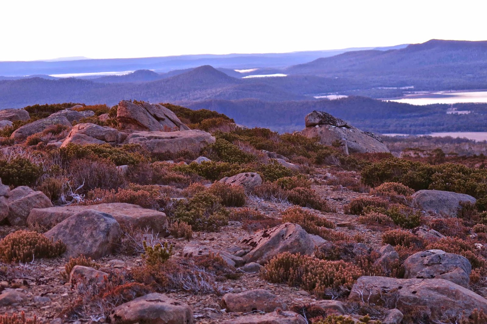
Somewhere in all that thinking, I did the unthinkable: I dozed off. The next thing I knew it was light, 7.15 in the morning. I had survived. I opened my flap to a bright red north-western sky. High above, I could see cirrostratus clouds, heralding a change – a warm front. Perhaps that front is the reason it didn’t get any colder so that I could fall asleep in safety. My boots under my sleeping bag were frozen solid, and it was very difficult to force my feet into the steel frames they now seemed to be. My gaiters, too, also stored under my bag you’ll remember, were sheets of resistant metal that didn’t want to bend around my legs. I pushed and shoved and grunted and got there. Out I went to inspect the dawn (the beauty of which is depicted in the photos above).
At breakfast, porridge was fine, but I couldn’t have my next course –  coffee, biscuits and honey – as my cup had this frozen block in it that wouldn’t budge. I put the mug in boiling water for a few minutes, but it still didn’t melt the ice. Then I poured boiling water on it, and that managed to dislodge it, melting the middle section, so I could tip it out.

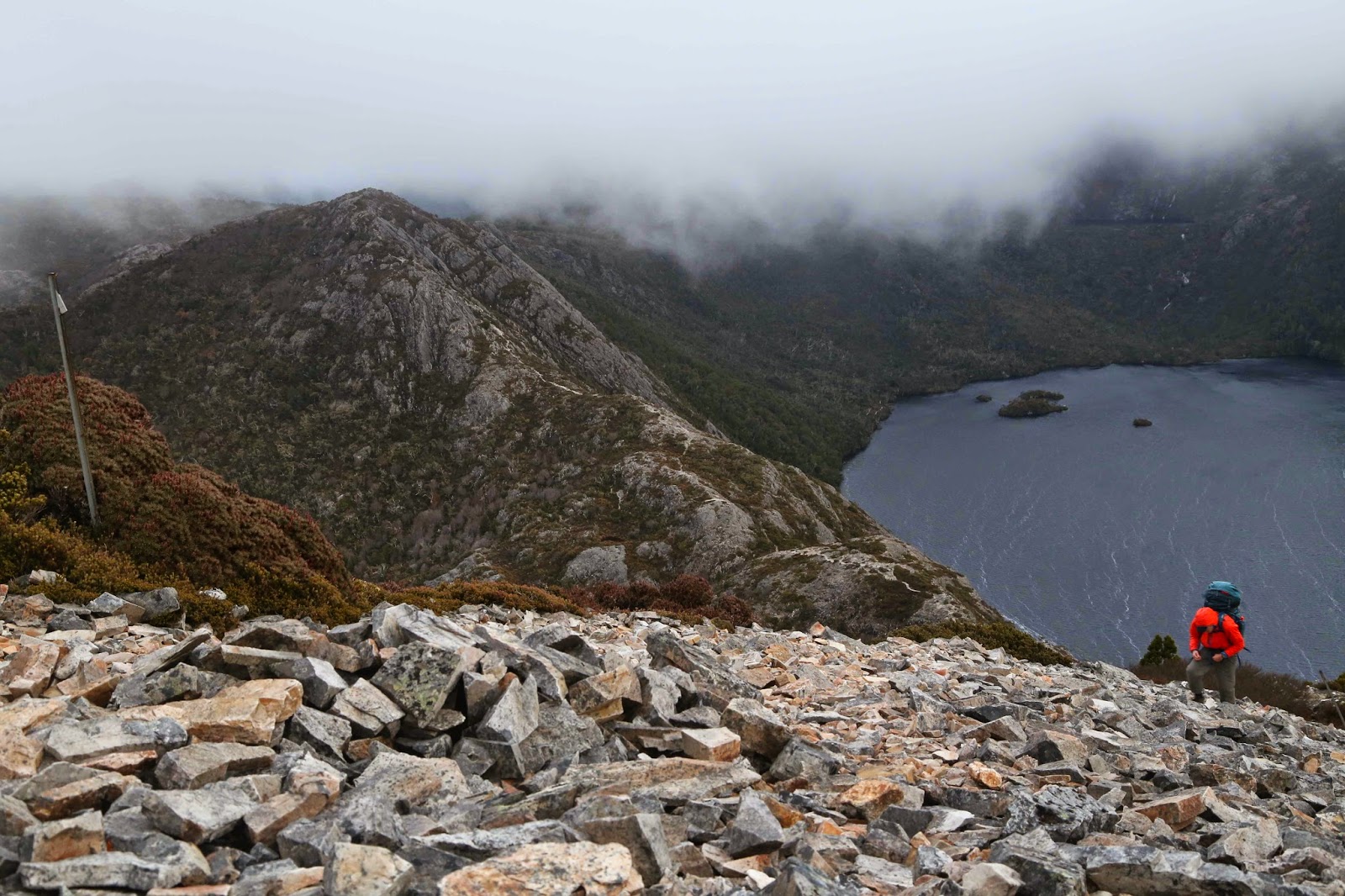
Down near the bottom
As I descended later – in the bush, as the track was just a ribbon of black ice – I waited to drop below the freezing line, but it never happened. 600 metres below my camping spot, the world was still white. My guess is that it could have been colder than minus ten up there.

My car was enveloped in white crystals, but it worked. Off to the Hungry Wombat I went. I was alive, and aware of it in a completely new way. Every cell in my body was tingling with it, and it felt very, very good. I was positively bursting with the joy of the gift of life.
It’s the heart afraid of breaking
That never learns to dance.
It’s the dream afraid of waking
That never takes the chance.
It’s the one who won’t be taken
Who cannot seem to give;
And the soul afraid of dying
That never learns to live. (The Rose)

King William 1 2014 Jun

Mt King William 1  Jun 2014.
The weather looked as if it would clear, as promised and then rescinded by BoM, so I took a punt on climbing Mt King William 1, another peak not yet summited, but one continually beckoning me. I would also take in Mulligan’s Peak and Mt Pitt if the weather cleared. It didn’t.

The route began along a “road”, but as it was a heavily potholed, trickling-streamed, fungi-growing and boom-gated way, I did not feel threatened by the prospect of traffic. Instead, I enjoyed the feast of white and soft-grey trunked eucalypts set against mustard-coloured button grass and mossy green rocks. My mountain was not yet in sight. Mist was. There was plenty of beauty to entertain.

Up I climbed (almost imperceptibly; this was not a steep path). After 35 mins, I came to a flat, open section, and gained my first view of the elusive object of my quest, dressed for now in a diaphanous negligee that was being slowly cast off. Dolerite columns were visible yet also obscured, floating in the soft lace. It was a pleasing view.

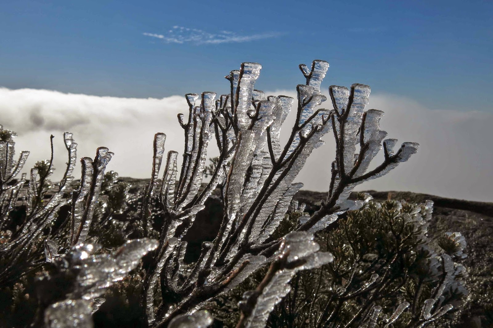
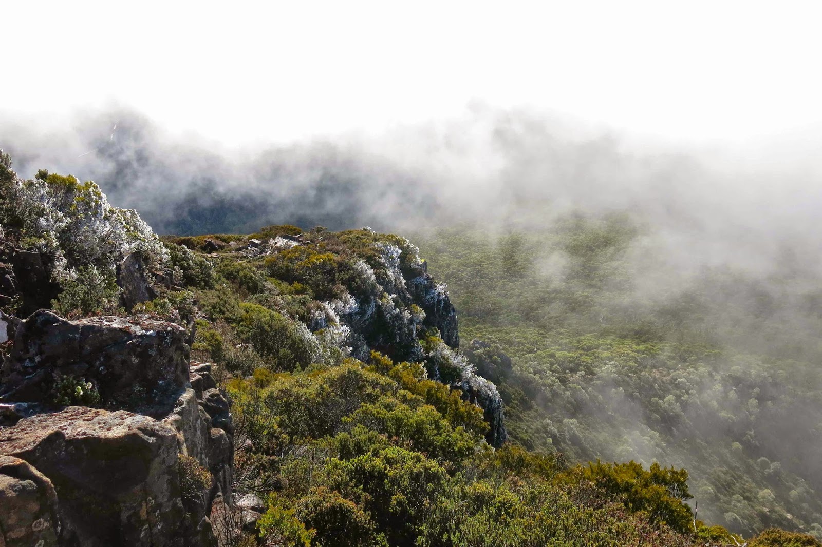
A bit further on, I found and signed the logbook, wondered why you’d stick a book nearly an hour along the track and not at the start, and kept climbing. The top still seemed a long way off – maybe an hour, I thought from there. I was totally shocked when after 23 minutes I took the next step to come almost face to face with moon equipment. There must be some mistake. Was this another false summit like yesterday? No. It was the real thing, and the rocks up there were covered in a sheet of “black ice”, an unofficial skating rink with heavy penalties for misjudgement. Crystals of ice adorned all shrubbery and shone startlingly white against the darker rock or sky. I clutched sharper sections to stabilise myself, but they were too slippery even for hands. I resorted to virtually crawling around up there for safety.

The clouds were rising, thickly this time. Mulligan’s Peak came and went, but in the brief period of visibility, she looked to be a perilous route at this distance. Certainly straight ahead you seemed to be required to nose dive over an ice cliff. I didn’t like the idea of climbing in these conditions, so had a little snack and began a reluctant descent, back to my car. That night I would spend an amazingly cold night on Mt Rufus (see separate post)

Henry 2014 May

Mt Henry May 2014

Summit cairn. I was terrified on this knife-edged peak.
Today I set out with the intention of climbing one mountain, accidentally climbed a different one nearby, yet coveted a third.

The mountain I intended to climb was Mt St John, but the road I wanted (a dirt road that runs parallel to the line of the mount, north of it) was blocked by a thick and long fallen limb. There was a possibility that I could mount the edging and drive around it in the short grass slightly above, but I have a 2WD, was travelling solo, had only about ten pages left in my book (i.e., not enough for a long rescue wait) and thus didn’t want to risk getting bogged. It has been pretty wet lately. I thought it was time to test out whether there were roads to the south of my goal that were reasonable (unmapped roads abound in Tasmania). I drove past her bulk, waving hello, and kept driving southwards for another eleven kilometres without ever having an offering of a side route that would get me nearer. My mountain was out of sight, so I did a U-turn and decided that Mt Henry was an undervalued mountain that needed investigating.

Nice jagged rocks for variety

It may not be the peak I wanted, but at least it was a mountain, and it was accessible from this road, so I parked at the base of a ridge due east of it, in a spot chosen because I could get off the road, and it had a kind of vehicular track at the start that might give me a free lift for some of the way if I struck lucky. I got at least 50 metres favour there. With this mountain, you only rise about 400 metres from where you park, in a distance of 2.3 kms in each direction, so it is not a Grand Excursion, but a lot better than a drive with no climb.

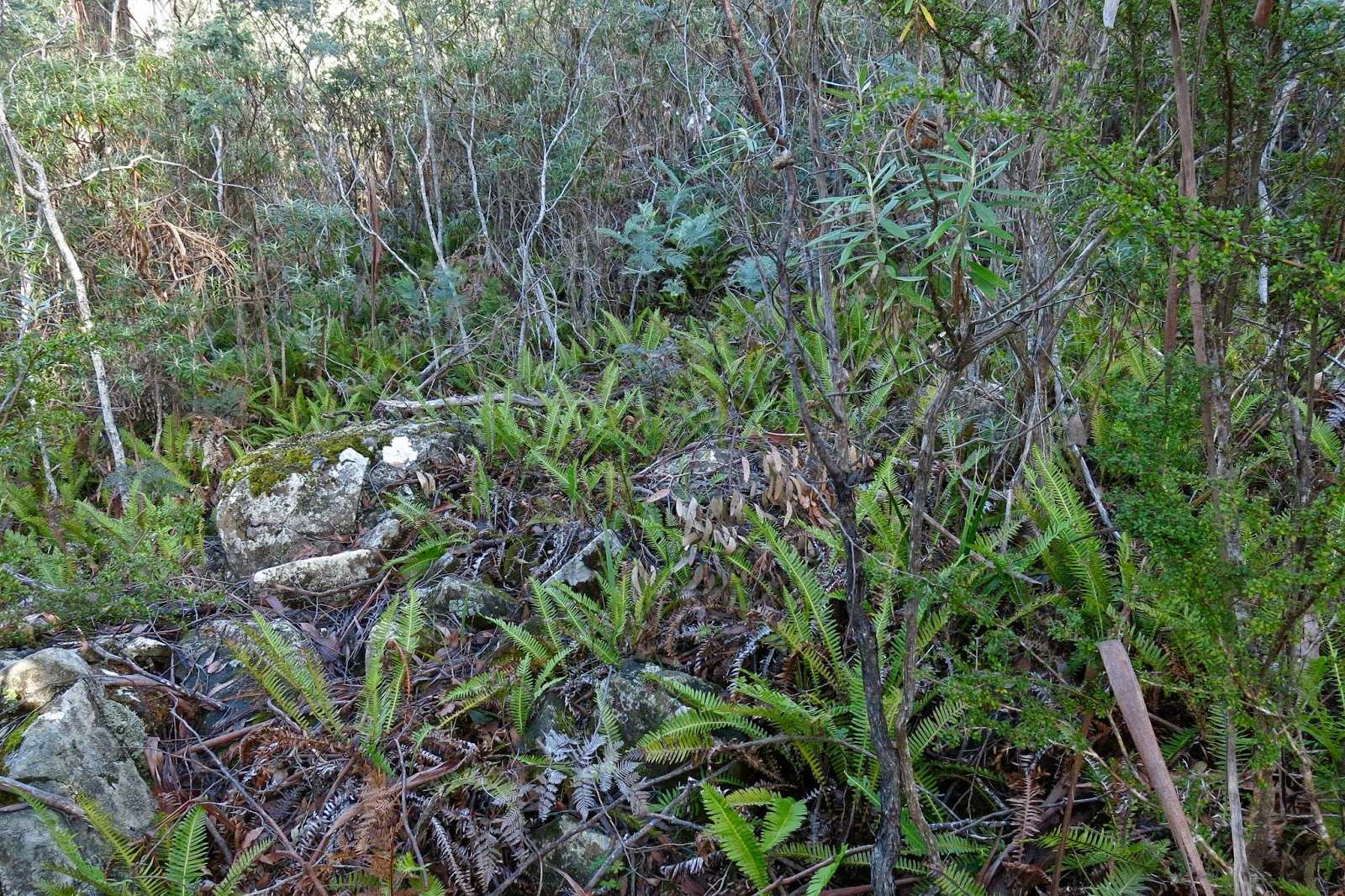
This is what the scrub looked like in the middle band
The day was getting on. It was 11.30 when I finally set out – way later than I had planned.
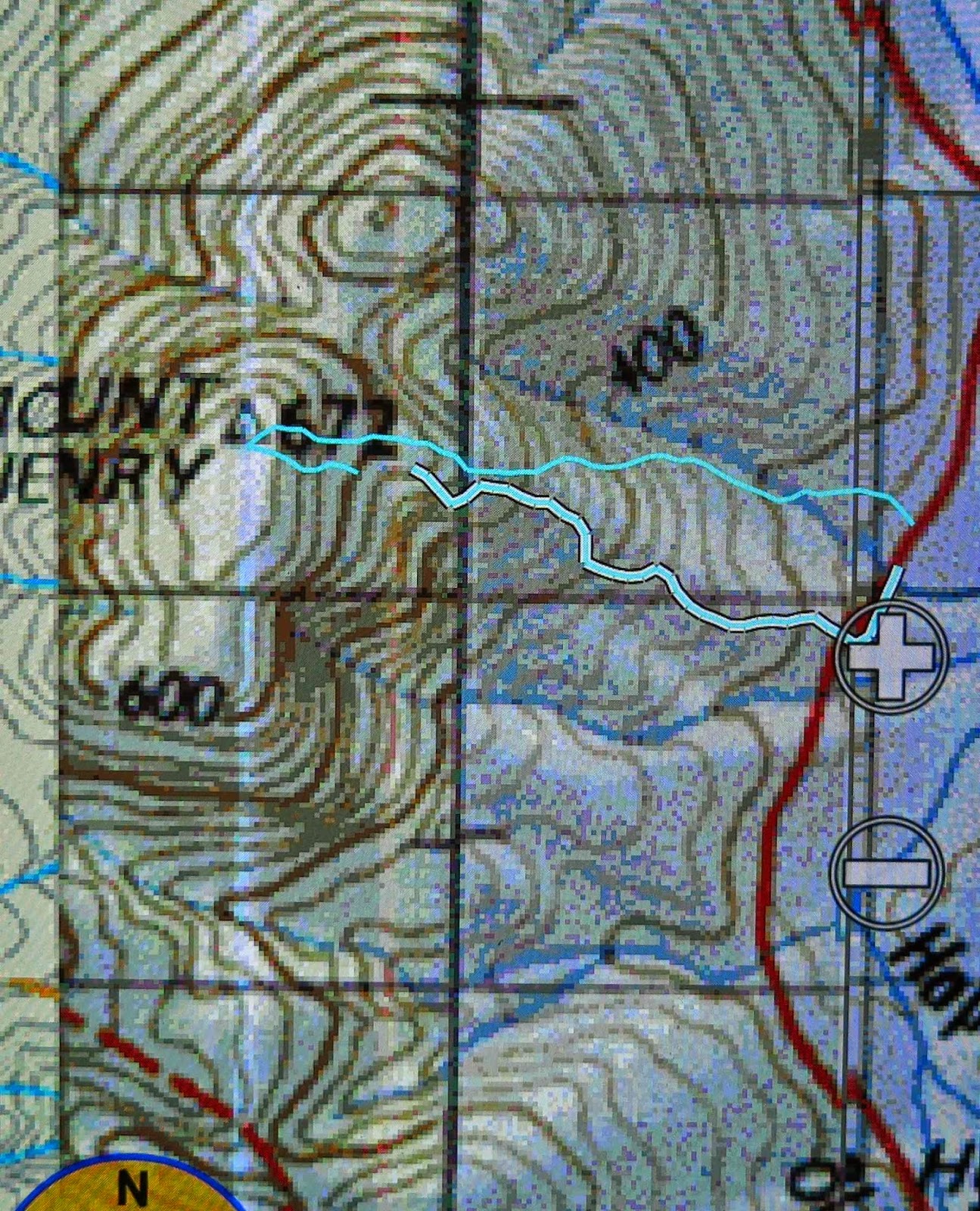
There’s not a great deal to be said about this mountain that is not said by the photos, and the map below. There is no pad or track; you just follow the ridge up until you reach the summit. The going is relatively open at first, then becomes quite thick in the central phases, and eases up for the final bit to be very open indeed. The middle section was no party, but I’ve experienced a lot worse. At one stage, a branchlet poked into my plait and I was skewered from behind, which is not such fun in solo conditions, as I couldn’t see what was happening back there to pull myself out, but, as I’m here typing away, you can see that the story ends well.
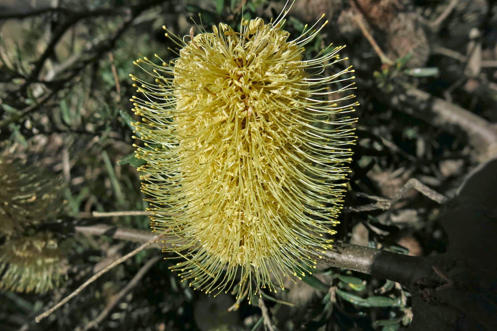
Banksia marginata
Because it was only 2.3 kms each way, and a mere 424 altitude to rise from the car to the summit, I thought it would be a pretty short trip – but that’s because I hadn’t seen the middle band of scrub. My watch says I took 50 mins up and 51 down. My gps ungenerously says 28 up, 26 down, but that’s because it is very rude and describes some of my best efforts through the scrub as “no movement at all”. I consider myself to have worked for 50 mins in each direction, and am taking exercise credit for the same. There were no breaks in that time.

Although the summit was nice and clear, this was not a mountain that thrilled: there were no vistas, no sense of space; no experience with the infinite. I was the most colourful little thing (or big) to be seen on its flanks. The banksia marginatas I found were on the roadside as I did the final bit there back to the car. Some mossy, jagged rocks were perhaps the highlight. That said, it was not an unpleasant excursion, and it’s good to experience many different types of mountain.
The mountain I coveted was nearby, St Paul’s Dome, which stands taller, more commanding, more promising. However, as I eyed it up I decided I was now hungry and wanted savoury food (I had only brought snacks). At Cleveland on the drive home, a sign touting “Game and Guinness Pie” wrested my attention. I parked my car near the post where my old horse should be and went inside. Delicious!!
PS. As this is a ‘choose your own route mountain’, mine is only one of many possible routes. I know of others who’ve done it starting closer and having less climb (see that saddle to the SSW of the summit – via there), but they had to do more driving to get to their spot, and I wasn’t there to do minimum distance or climb: I could have stayed at home and achieved that. I wanted, as usual, a workout, so gave myself one.

Campbell 2014 May. Tenting on top

Mt Campbell: Tenting on top. May 2014

The day was closing in as we reached the summit of Mt Campbell, mantled in mist, yet still visible – just. The climb had luckily only taken forty minutes to get to the top plateau from the car, but we’d set out far too late from home, and now time was getting away from us. I didn’t want to add the problems of failing light while I tried to pitch our tent in this raging hurricane with the wind snatching at loose flaps and trying to run off with the tent while I did battle to push poles through slots. The wind attacked noisily with every gust so it was impossible to converse. We quickly chose our spot. It seemed fine – no pointed rocks underneath, a bit of protection from a small cluster of pencil pines conveniently located near the summit cairn.

Sunrise next morning
“You get water while I pitch this,”, I said, thinking to maximise jobs done in the light. But then I looked at the thick mist encompassing us. No. Bad idea. Stick together.
“How much light do we have?” I asked, working feverishly at this stage at poking poles in the spaces designed to take them.
“Fifteen mins. Less in this mist.”
“OK. I really need to hurry. I don’t want to get water until this is up. Can you gather the water containers so we’re ready to go as soon as I’m finished.” Off we set together into the void that was not entirely unknown.

The mist had parted briefly to allow a tachistoscopic glance at a sheening that must be water in the direction in which we were now heading. Whoops. We’d gone about three paces when I realised that, although I knew how to get there, I may well not know how to get back if it completely closed in again, or got dark. Out with the compass so I could get a bearing on our current direction and thus have a back bearing for the way home. This was not a night to be out, lost without a tent. We were not heading where I expected to go, but I was sure the glint was not a mirage.

Early light on Cradle
By the time I had filled the bag and two bottles, spilling a little as I poured, putting my hand in the tarn for speed of gathering, my fingers were aching with a terrible pain. I wanted to stop halfway through the job, but I knew I needed to gather enough water so that if this tarn were a block of ice in the morning, we would still get breakfast. We’d keep this water in the tent near our bodies to stop it freezing.

Emmett, Pelion West, Perrins Bluff, and High Dome from our aerie
I boiled our water in the vestibule, and left the mixture to sit for the obligatory ten minutes while we took off our boots. All the outside jobs were now done. We could start relaxing. The wind’s roar was our background music. We like it. Our tent was secure. For now. Hopefully I’d done a sufficiently good job. One hears horror stories of people being blown away in their tent. As we huddled up the far end, getting ourselves into position for later, we had a giggle about what we were doing.
“You know,” I said, “I think a lot of folk might wonder why it is that two people who own a spacious house, a cosy open fire, leather chairs to read in, and 300 trees on five acres of land that overlooks a river would come out in the middle of a raging storm with a flimsy bit of fabric to protect them, munching on rehydrated ex-dehydrated food.” Bruce chuckled with glee.

Dawn light behind Rowland
Dinner had been very early, but I wanted to make sure all important jobs were finished before we fully relaxed. Now it was time for the evening’s entertainment, which, in this case, was provided by my husband, who read to me from a book Henry Reynolds wrote in 1982 about aboriginal-whiteperson relationships, looking at the inclusion of references to white people and their belongings that infiltrated various aboriginal languages right across Australia long before an actual encounter had taken place. This was very interesting, and kept us awake for a while, but then the horrible hour of going out into the storm to make sure our bladders were empty had arrived. Erk. Actually, the wind wasn’t quite as bad as it sounded, and at least it wasn’t raining. Yet.

I awoke at 11.30 as my body indicated it needed to go outside again. I told it it was delusional and rolled over. It became insistent. At 12.30 it won. As with last time, the sound of the fury was much worse than the actuality, although I did not linger out there! Back snug in my bag, I lay listening to the rage. This was precisely what we were here for, wasn’t it? To be a part of nature; to participate in its wild excess (but with safety – a kind of attenuated participation).
On the way up, I had realised that this weekend was the 49th anniversary, of the Scott-Kilvert tragedy which took place right in the area that we were playing in. Having written extensively about this, I am aware of all the details and they added force to the storm that was brewing around us. I decided I wouldn’t tell Bruce about this until we were safely out in case it put him off. As I lay awake, I relived some of the horrific details, and then pictured us in the morning, crawling in thick mist, buffeted by winds that wanted to lift us off the ground. Luckily I fell asleep before my imagination got any worse.

At 6.30, a somewhat enthusiastic voice awoke me.
“It’s lovely out here,” Bruce reported. That it was, and freezing too. We bulked up with multiple coats and four head-covers and more and went out to be part of the dawn. Already the reds and oranges limning Mt Roland were surprisingly vibrant. As the sun rose, we moved around from one vantage point to another – me photographing; he, melding with the dawn as he admired it. The mist had cleared, although the grey sky above suggested the day was going to be a gloomy one. We were experiencing the best it had to offer. From one position, I was excited to see Frenchmans Cap. It seems that every single high peak I climb, I get a view of this amazing mountain with its unmistakable shape. We were also excited to note that we could see the sea for about 20 of our 360 degrees; the sun lit it beautifully as it skipped across its surface.
We didn’t waste any time after sunrise, dismantling our tent, packing and descending once we’d breakfasted. As my key turned in the ignition, the first drops of rain fell. It got heavier as we drove sedately along, nearly crashing twice with speeding tourists who needed to ignore the 40 kph signs so as to hastily reach the lake and tick the box that says “Cradle Mountain experience”. At least there were no dead animals on the road yet.

Scott 2014 May

Mt Scott, May 2014

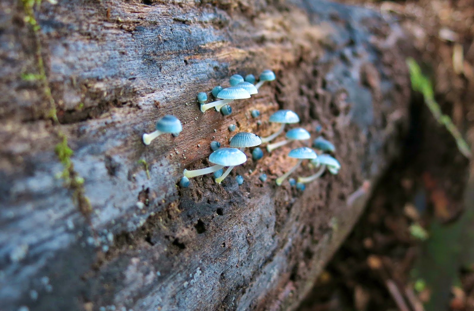
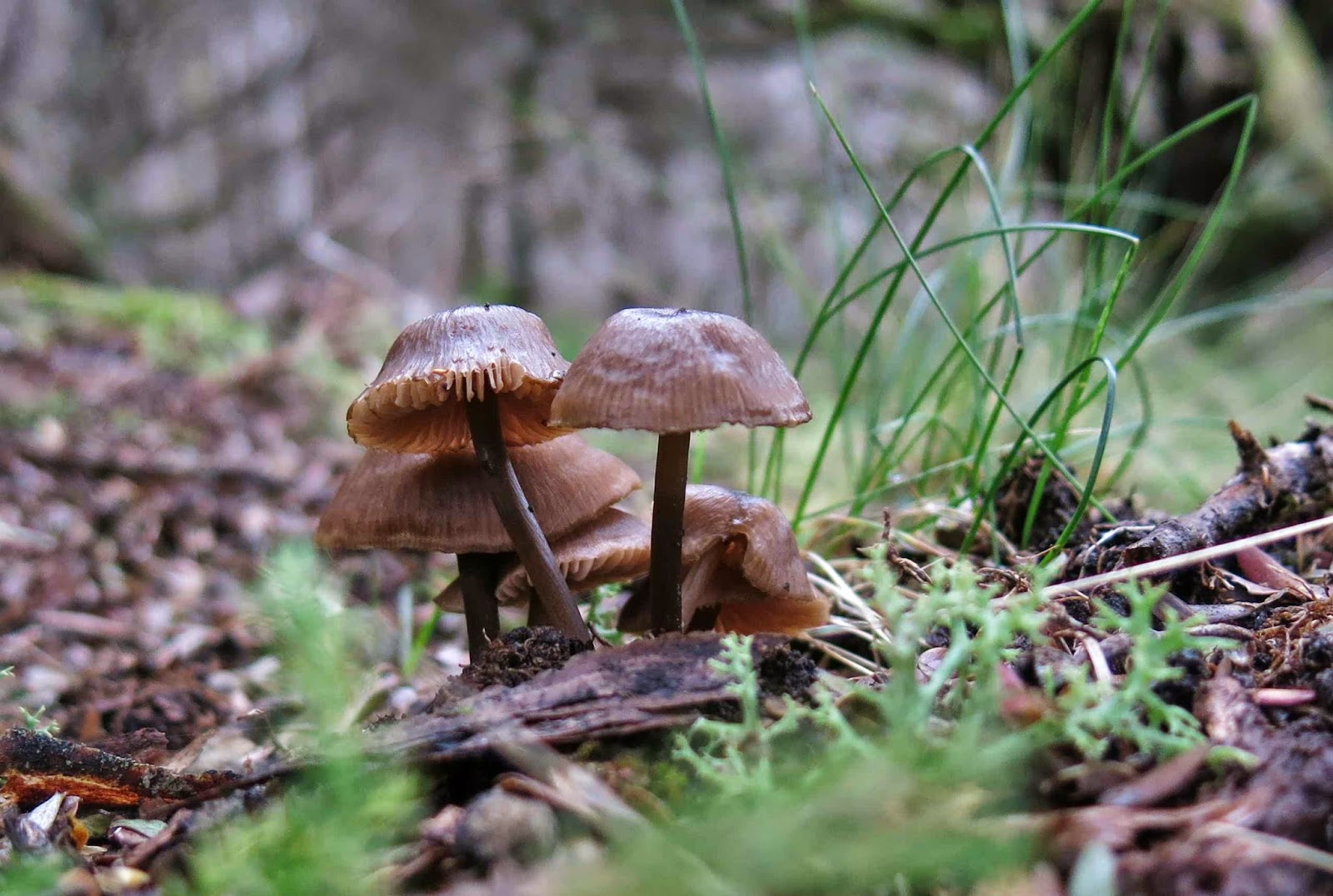
Darling mycena interrupta were in abundance here.
I continue to marvel at the number of times I can be introduced to a mountain whose name I have never heard of, just because it’s on the peak baggers’ list. So it was this week, when I received an invitation from friends who wanted to climb Mt Scott. I had to search to find it on the map, but yes, of course I wanted to come to add to my peak collection and to experience a new mountain; my friends had all gained the point for this mountain long ago, so were more interested in picking wild berries than in summitting, but that suited me fine. It gave me the opportunity to summit using my own devices while they picked berries, and I very much like to do my own navigating. My work obligations could be accommodated into the expected timetable for the venture. We were off.
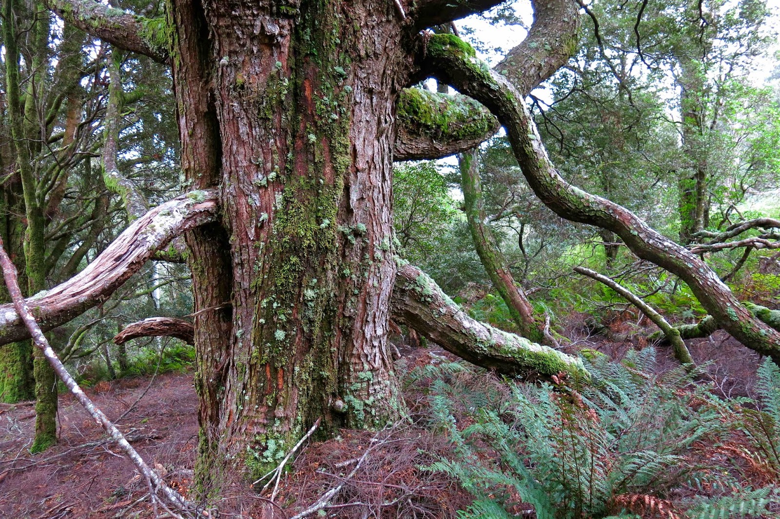
A huge old myrtle (nothofagus cunninghamii)
We drove along roads that (at the end stage) are on none of my maps, and parked the car in what appears to be (map-wise) in the middle of nowhere. Because of this, I’ve given very thorough instructions on how to drive there at the end.
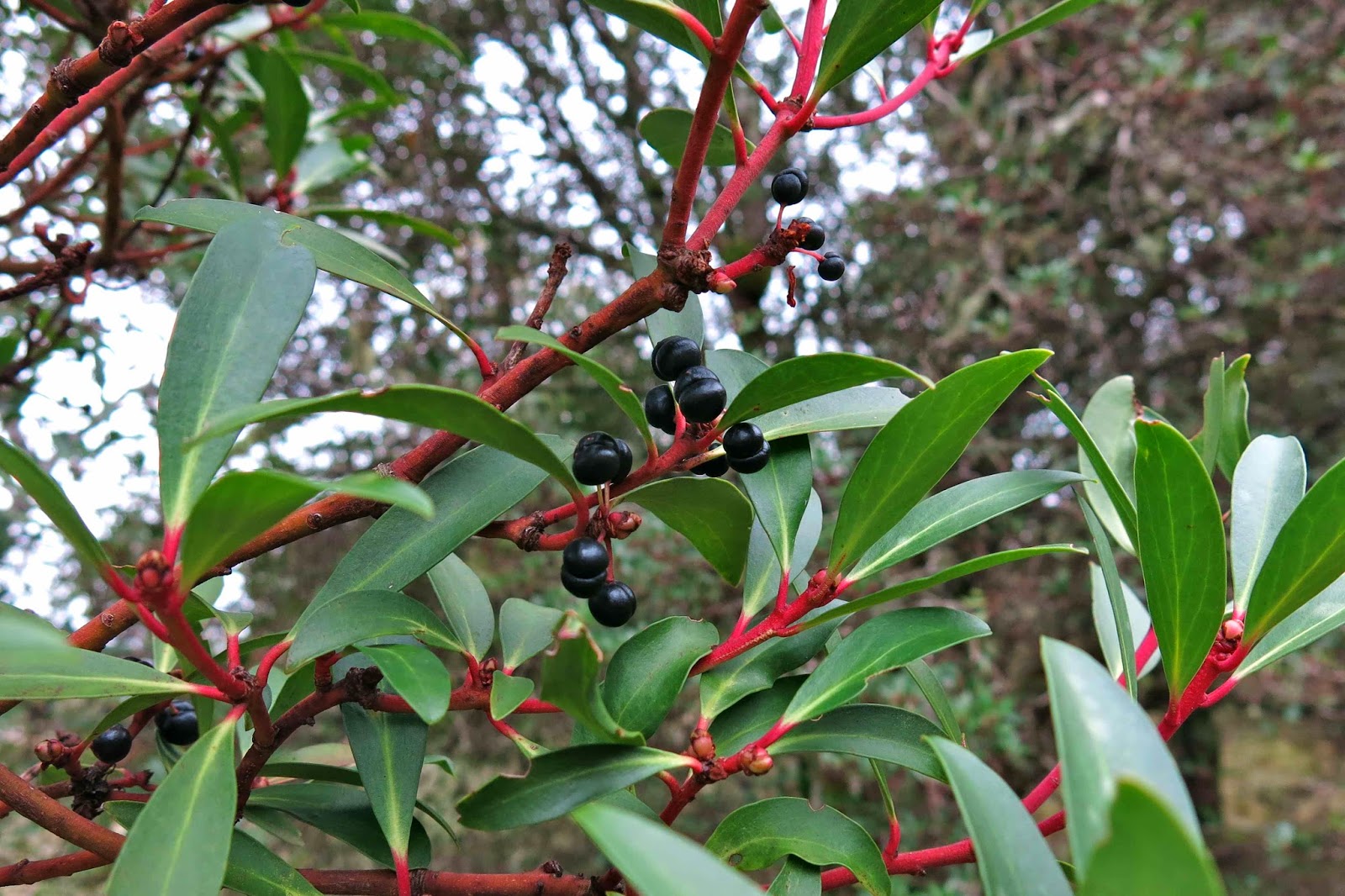
Native pepperberry bush, Tasmannia lanceolata

At the start of the walk, there is actually a little wooden sign with pink ribbon. From the sign, you head off into wet forest thick with lush ferns of many varieties, but there is a taped pad the whole way – albeit one that is sometimes hard to find. We lost it on a few occasions, but it is there. You just need to be vigilant, and to backtrack to the last tape if they run out in some direction.

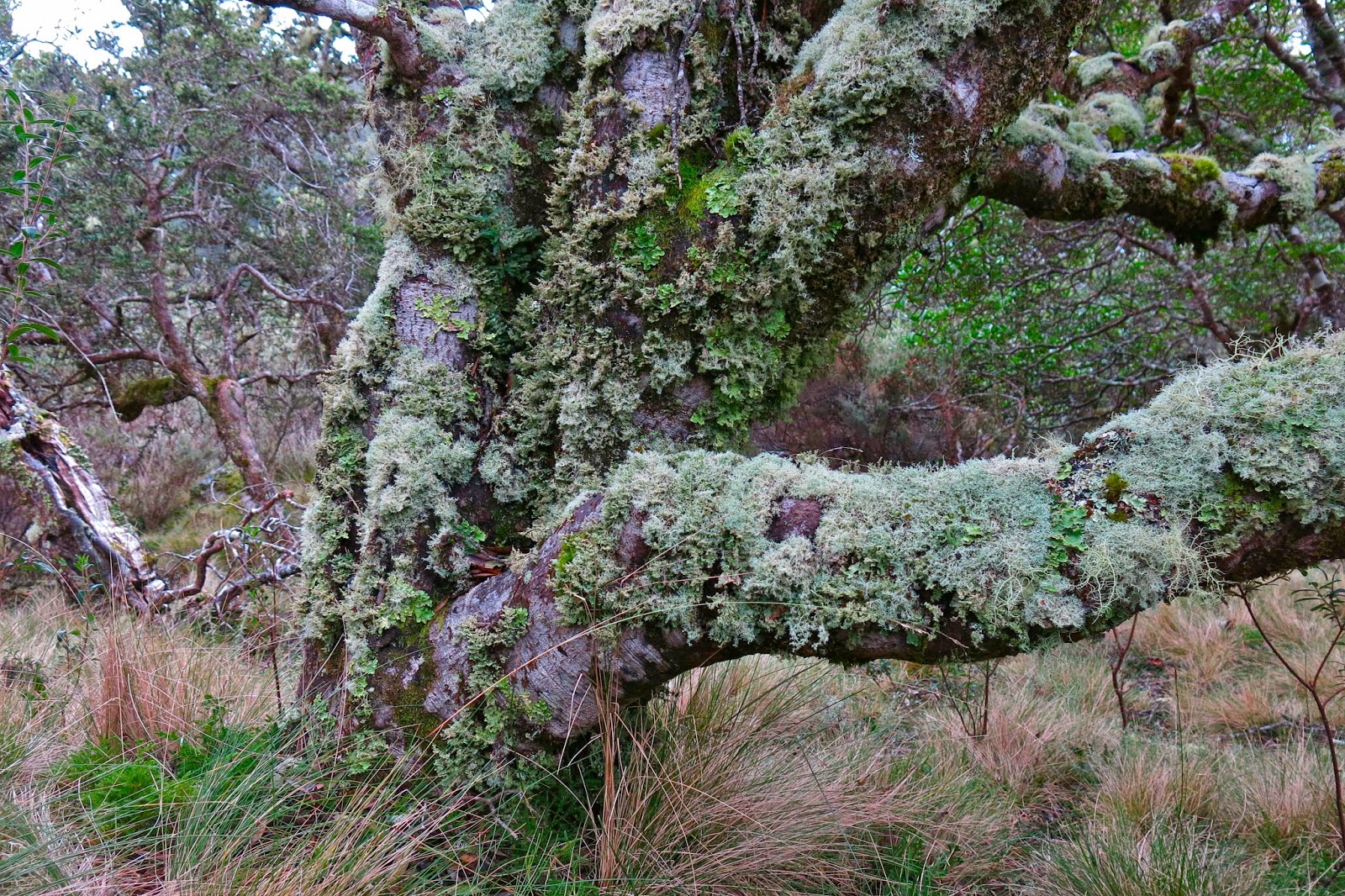
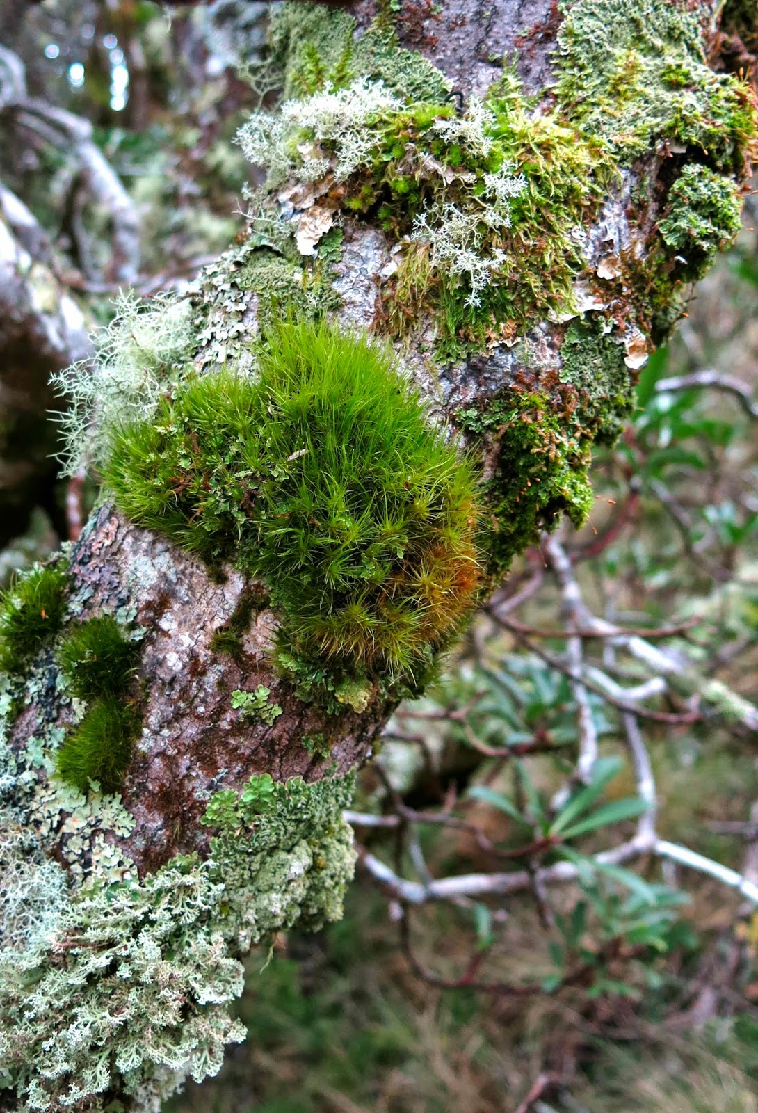
Tasmannia lanceolata covered in moss and lichen

Somewhere around the 950 ms asl mark, the forest began to clear, and the vegetation became quite open. Some huge examples of ancient myrtles occurred in this more open section (nothofagus cunninghamii). This ceded to the next vegetation phase, a mass of wild native pepperberry bushes (Tasmannia lanceolata). I was entranced by the clumps of moss and thick coating lichen on each bush, endowing them with a sense of ancient mystery.

I gathered a few berries, but was more interested in seeing the summit, even though thick mist was going to prevent any view. David, who can’t eat berries, said that he wanted to get moving too, so the two of us set out along the logical route from there to the summit, chatting away whilst I kept us on the highest path between where we were and the top. We walked past a log book which is almost at the top of the very first rising, and I have heard it implied that that is the summit, but it is neither the summit on the map, nor the ground. It is nothing other than a visitors’ book and possible lookout point (I’d need to check that theory out in better weather). The summit (black spot on map) is at least 1.5 kms away. The highest point is actually on the knoll before that, but I wanted to touch the mapped and named summit.

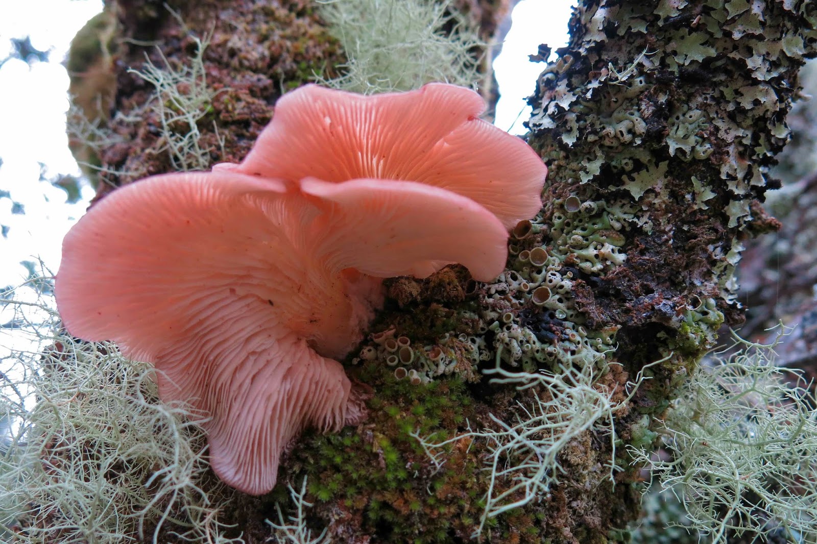
Panellus longinquus Thanks Dr David Ratkowsky for helping with that one

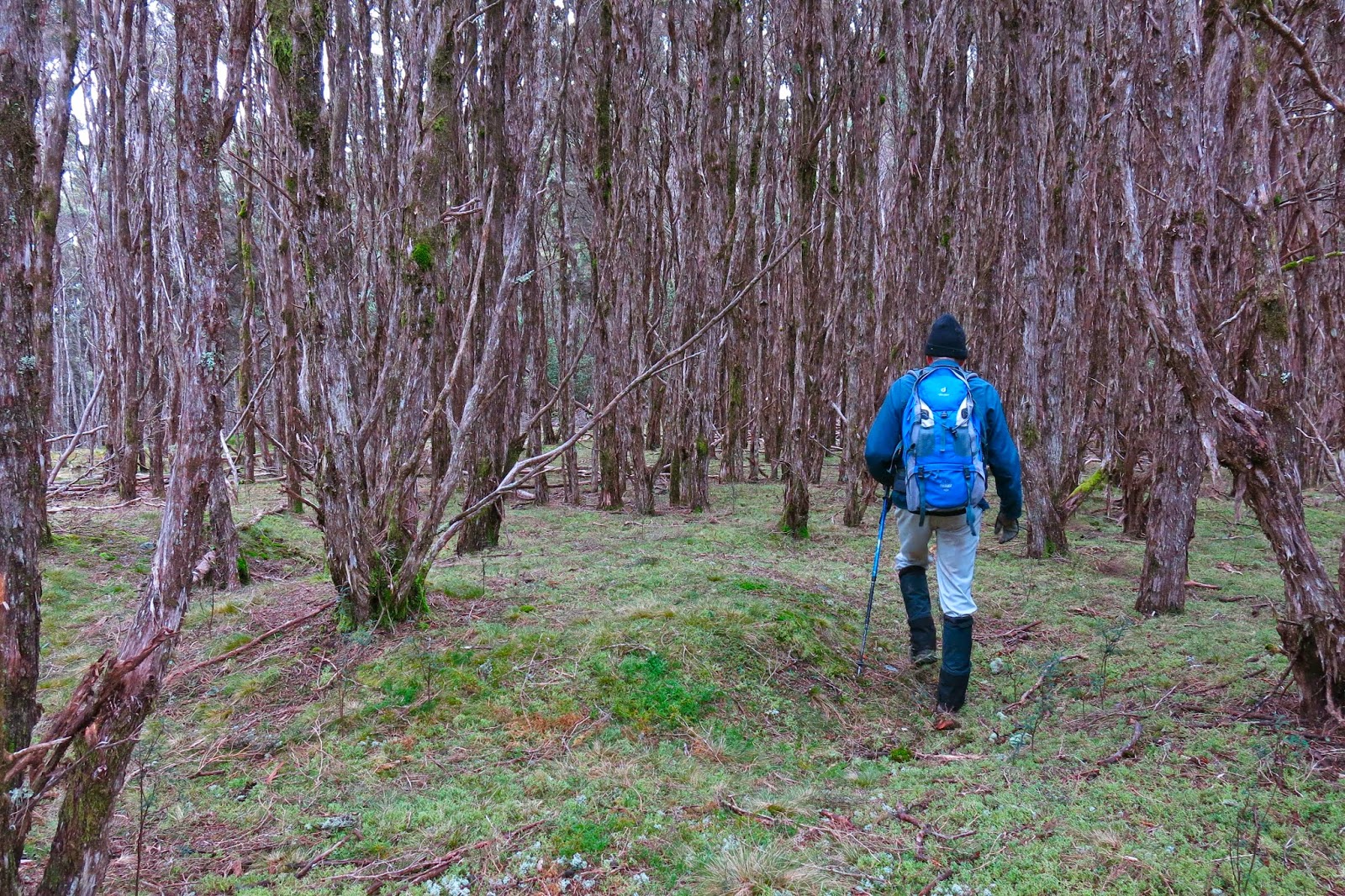
Once the top, broad ridge line was reached (very shortly after the pepperberries and log book), we had over a kilometre of magnificent walking through almost park-like (non-taped, non-tracked) forest, which later became primarily comprised of thin-trunked melaleucas, pursuing the light. As I gazed at their tall, straight yet spindly trunks, I thought of Nietzsche’s question in his book,Will to Power (Der Wille zur Macht) where he asks: Why do trees fight to reach for the light? Is it for survival? No, he claims, it is because of a will to power (a will to dominate that goes beyond mere survival). These words have always fascinated me, partly, but not exclusively, because Nietzsche denies the idea of a soul, and yet implicitly attributes will to a tree.

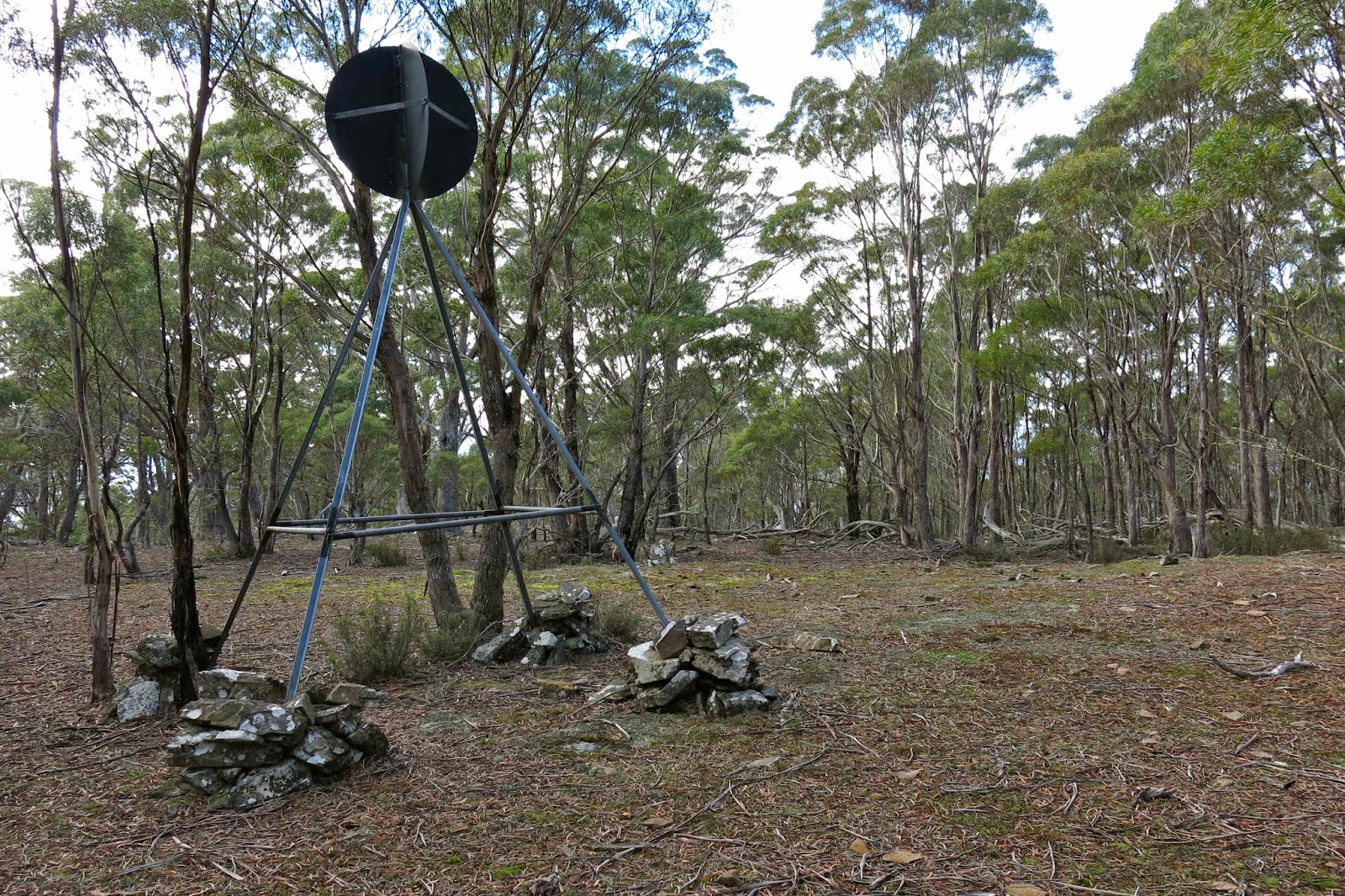
We went over the rising that was not the official summit, but which my gps said was higher than the summit, down into a broad saddle, and up the other side, sadly leaving the forest for the final 100 ms or so to enter the first waist-high scrub for the day. It was very easily traversed, and there we were at the summit trig.

David, striding out in the parklike forest, discussing with me Einstein’s assumption that c was always constant. I like stimulating discussions on bushwalks.
There we ate half our lunch, waiting to see if the others were going to remain trapped by the spell of the berries, or whether they were going to join us on top. When they failed to appear, we set out back, but encountered them when beginning on the climb to the non-summit knoll in the forest. They were smug with their full containers of booty. We finished lunch together in the forested section as it was far more pleasant than the open, windy summit point, returned to the trig so they could touch it too, and then turned our venture into a circle by heading straight down the hill to intersect with the road far below and going along it to the car. This involved 17 minutes of road, with log trucks sometimes appearing. When I take my husband back there to show him, we’ll go out and back the same way, as that was the way of most beauty.
 
Entoloma sp
I arrived at work some minutes late to find my students deep in discussion about the budget that the government released the day before. They looked up and saw me in my boots and gaiters and outlandish walking gear (I had had no time to change) and smiled. I think they quite enjoy having a bizarre coach. They weren’t even fazed when I did a quick leech check on my calves while we went on with the next topic of discussion.
 
Below is a description of how to drive to Mt Scott.
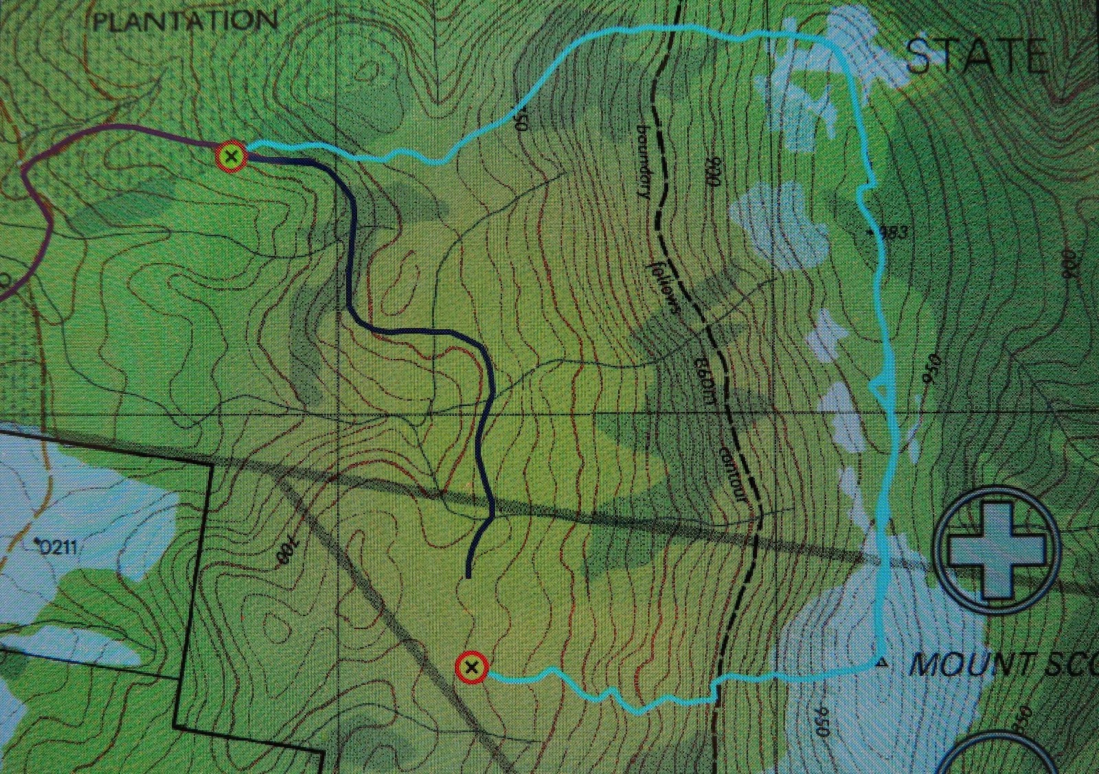
I am greatly indebted to my friends, not only for showing me a beautiful mountain, for for negotiating the oddities of Tasmaps that fail to show roads. I have scoured our whole map of Tasmania, as well as  1:100,000 maps – both the one on which Mt Scott lies (useless, as it is right on the edge) and the map next door (St Patricks). Not one of those maps makes the road journey to this mountain clear. According to my gps, we had parked in the middle of bushland rather than on a road. If you look at the map above, the waypoint to the NW is where we parked the car. Because the road was not on the map, I also tracked our route as we drove out in purple so I could try to figure it all out later. But first, I will also tell you that the waypoint that is lower and mid-image is where we hit a road (unmapped as well – of course?). The dark blue line heading north and then weaving is the unmapped road on which we walked to return to the car.
After a great deal of screen staring and other map poring, this is what I believe to be the directions of how to get there. From Launceston, drive to Targa, and take the Camden Hill Rd. Turn left on the Diddleum Rd and join East Diddleum Rd, as described in the Abels I volume for Mt Maurice.
This road crosses St Patricks River. Now you need to pay attention. You’re getting near. After the river, keep heading north, and turn right at the third opportunity, now heading eastish. After about 1.5 kms,  swing right. If you look at the image above, you will see the change in the purple line from north to right (east). If you look very hard, you will see an orange darker line continuing north. That is East Diddleum Rd which you no longer want. After about 200 ms you can also see if you look above there is another road heading north which you also don’t want. You’re now very near. About 200 ms past this point you will (if you’re lucky) notice a small wooden sign that points to Mt Scott that has pink ribbon tied to it. If you miss it (we did) you’ll reach the remnants of a boom gate. Turn around and retrace steps for about 150 or so metres. The sign heads off on the northern side of the road. There are, of course, lots of other logging tracks – newly made pseudo-roads – to confuse. That’s my best shot at guiding you in. Good luck. It’s worth it.