Echo Falls 2018 Jul
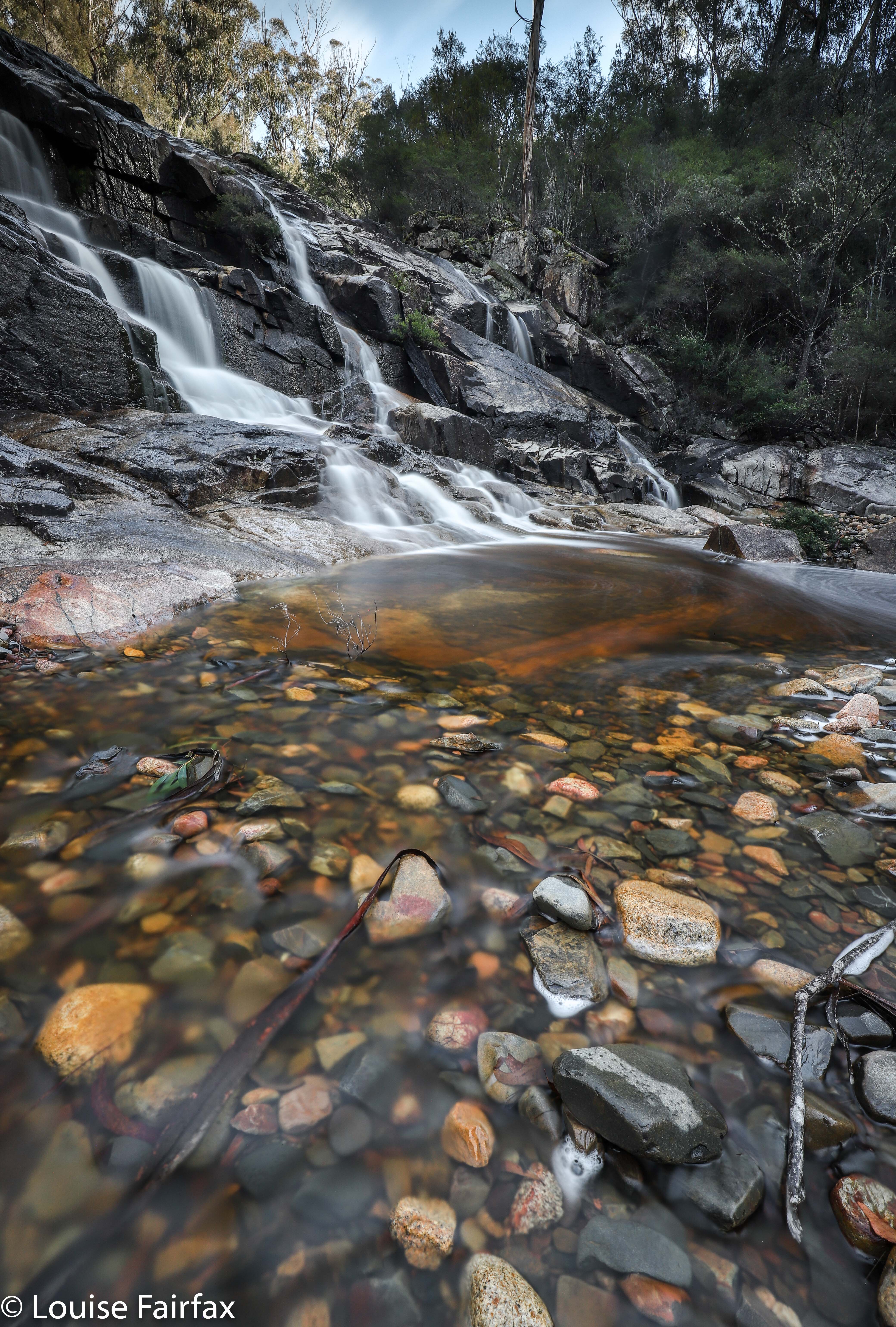
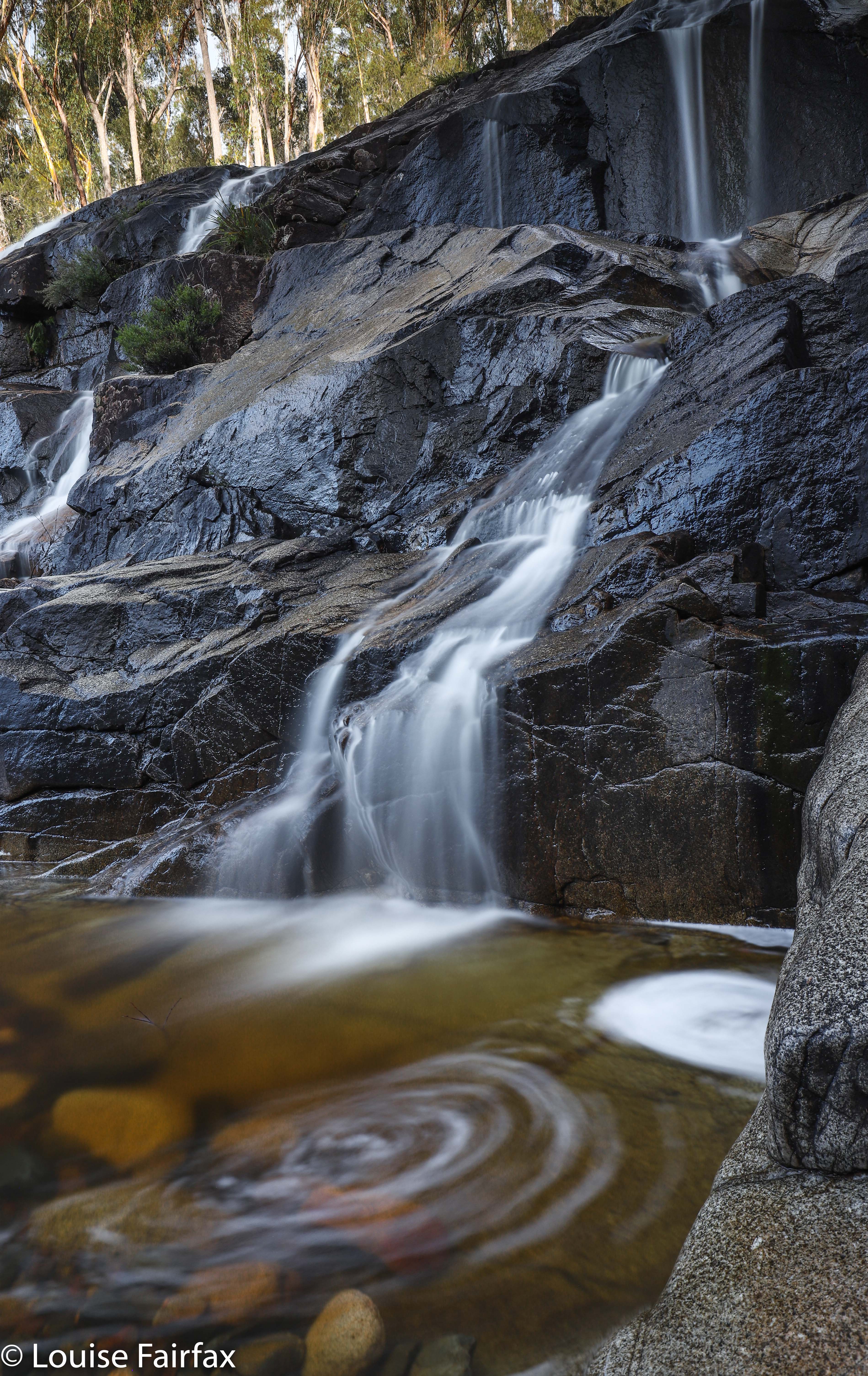
The weather forecast was for a beautiful sunny day in the east, less endearing elsewhere. Tessa needed a gambol. I decided these factors meant that I should go to the waterfall under Mt Echo, and also to Granite Falls kind of nearby. It has been annoying me for months that I got three of the four waterfalls on or near Constable Creek, but missed these ones under Mt Echo, so now was the time to fix up this hole in my collection of falls. I invited Craig, who said he’d like to come: he had had Granite Falls on his radar for while, and was willing to humour me on the matter of also taking in “Mt Echo falls”, even though for some reason better known to himself (but not shared by me) he was not expecting anything at all of these falls. Tessie was, of course, right in there with enthusiasm. We were off.
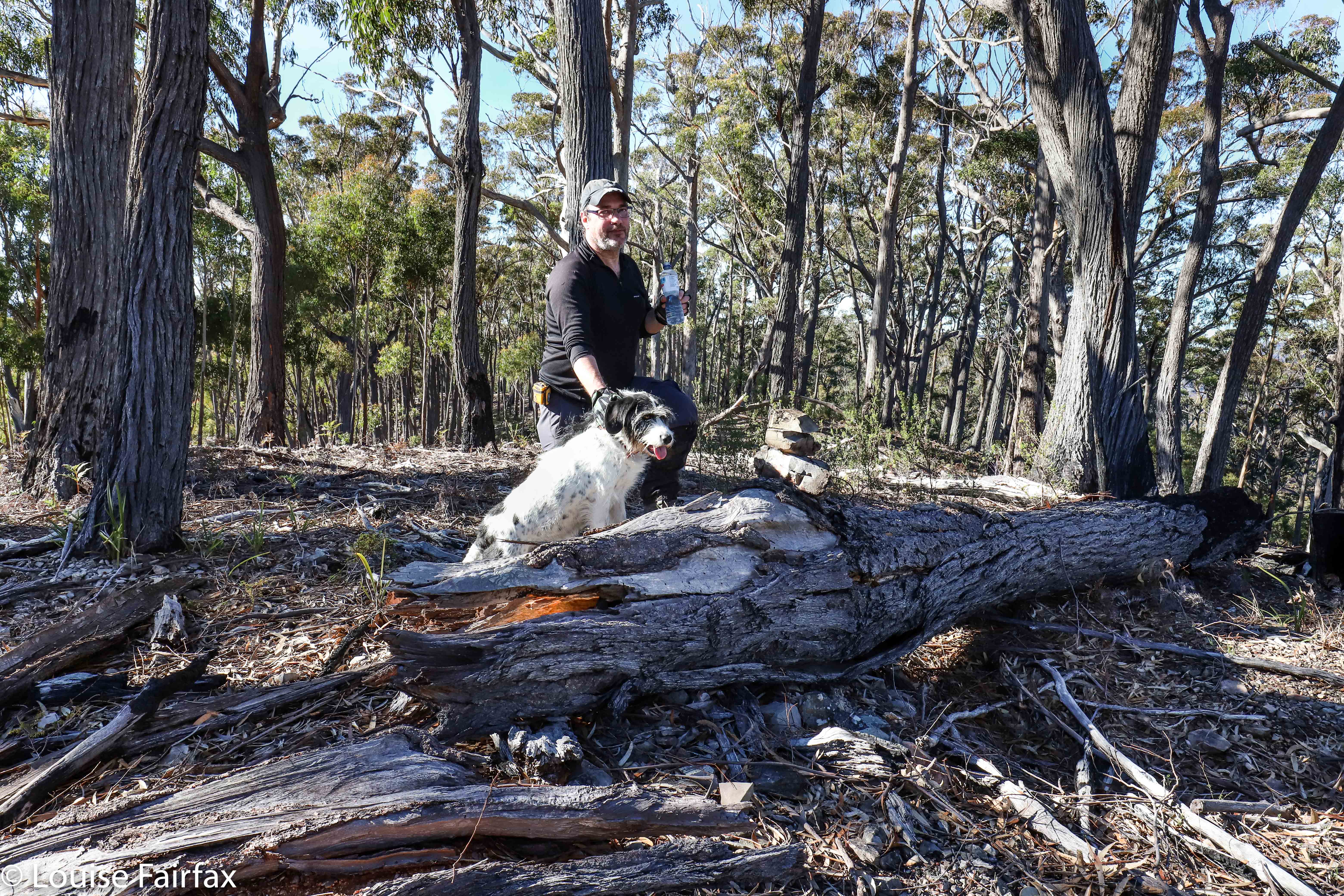 Having a break on Mt Echo. You can see Tessa and I built a summit cairn.
I wanted a nice little workout, so parked in a position that meant we would attack the falls via the summit of Mt Echo, thus getting in two bags for our buck. The bush was open, fast and beautiful, with occasional glimpses out to the East of shining waters. However, Craig was not feeling very well, so at the top, said he’d wait there while I descended and photographed the falls. I said he’d be disappointed, and that we could return to the car via a less demanding route, and kind of shoved him onwards. He would have indeed been disappointed. He enjoyed these falls greatly – so much so he took over the naming, and changed them – with my consent – from my “Mt Echo Falls” to just “Echo Falls”. His name is less cumbersome, so I agreed. And we were certainly in agreement that the walk we did was a perfect little day hike, especially if one combined it with Ferntree Falls or with one of the other three falls attached to Constable Ck – or with Granite Falls, for that matter.
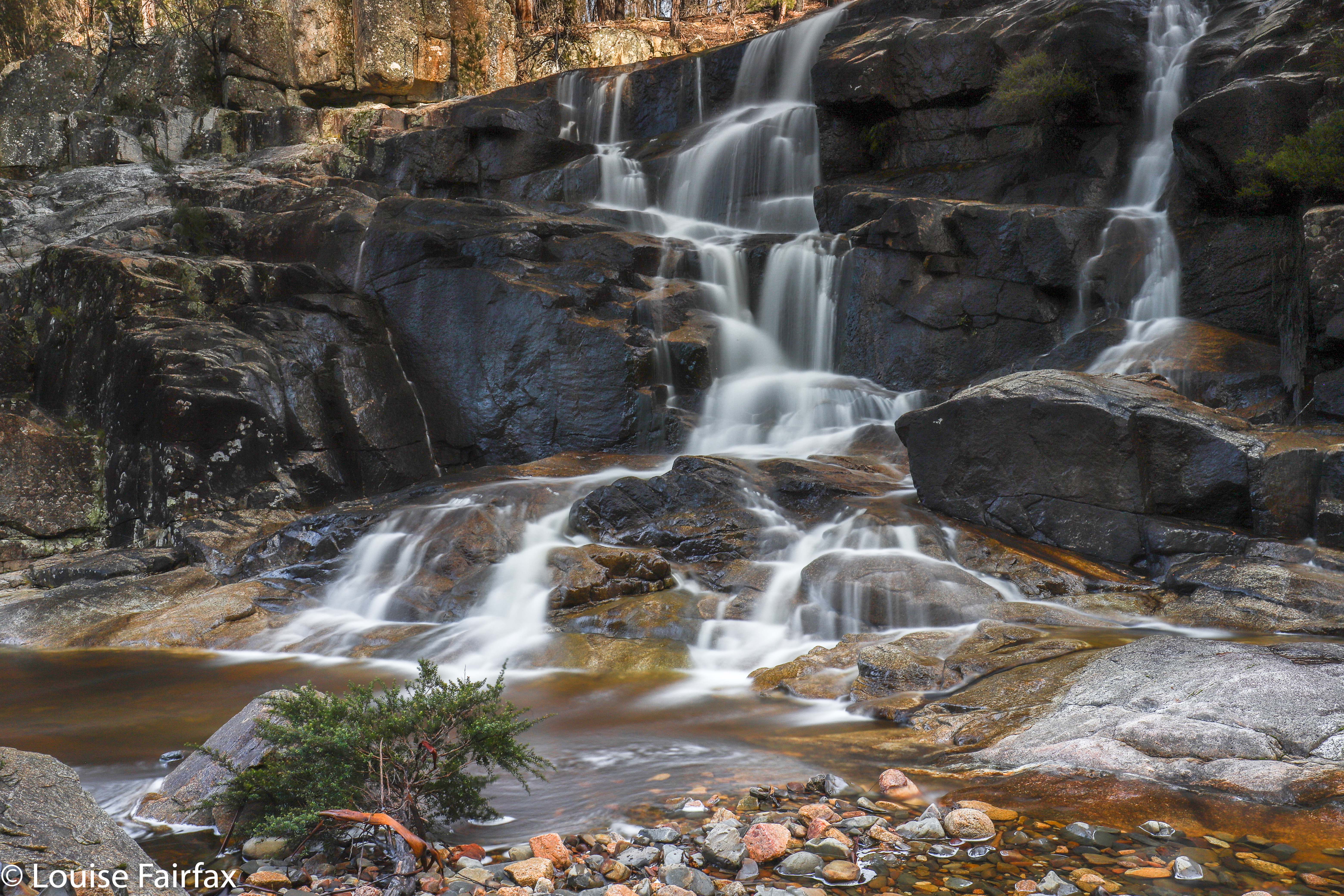 So, to describe in words what the map below tells you (sorry for the missing bit: my phone turned itself off): We just followed our noses to the summit of Mt Echo, being careful to choose the correct ride in the descent. The ridge down to the falls was shapely and interesting; the falls themselves were really attractive, and it was fun navigating around nearer to creek level for a physically easier route back to the car. The whole thing, including many, many long-exposure photographs, and several swims for Tess in a variety of pools, took around three hours. We felt very satisfied munching on our lunches in the forest near the car, and looking forward to our falls for the afternoon, Granite Falls.
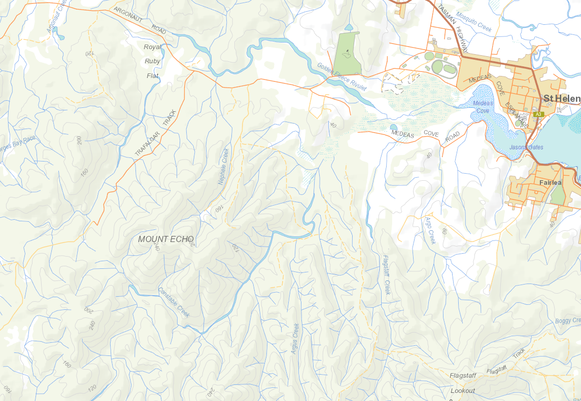
As you can see from this context map, one reaches these falls by heading out of St Helens on the Argonaut Rd, and turning off it onto Trafalgar Rd. For the particulars of our route over Mt Echo, see the gps route below. This walk was so easy with respect to scrub bashing, that I highly recommend it for clubs.
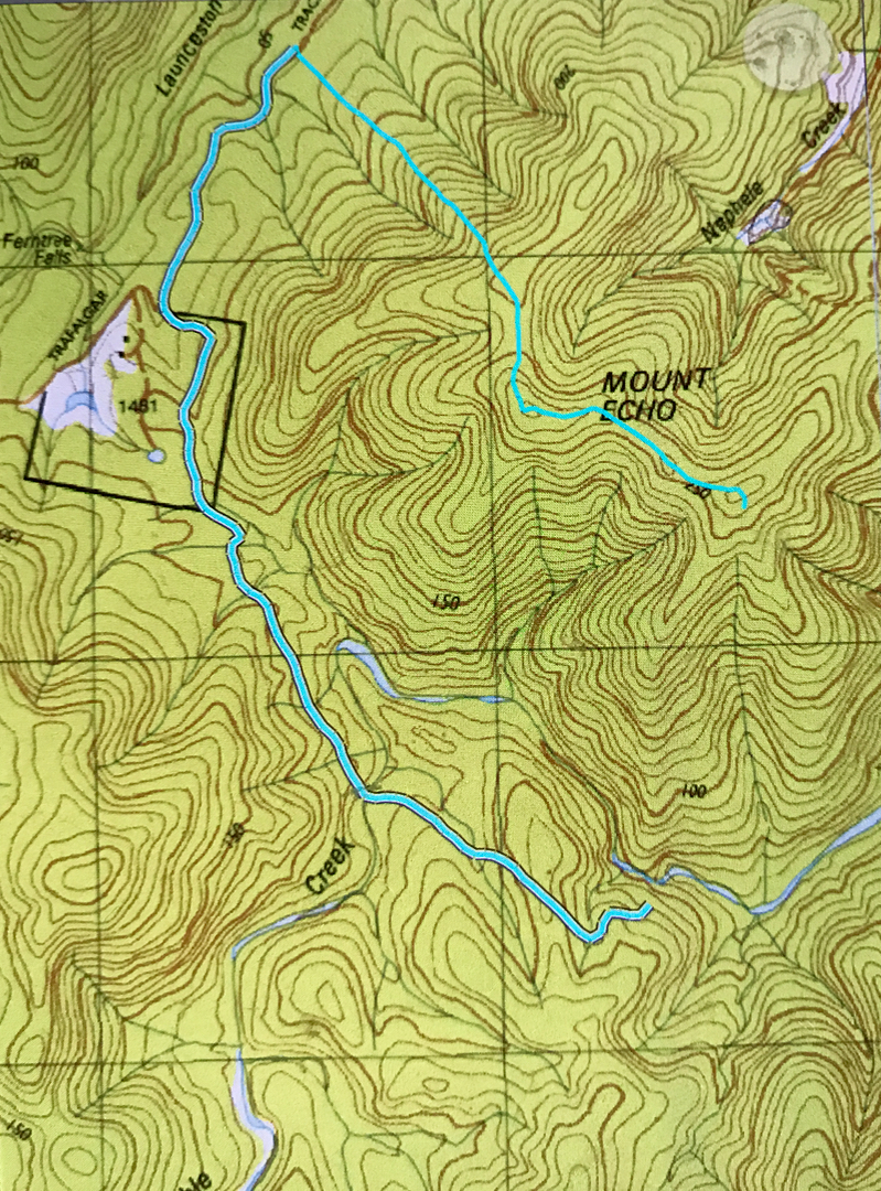
Sorry about the discontinuity in the cyan line of our route. I must have bumped my phone off at the summit of Mt Echo, and didn’t realise until I was leaving the falls at the base. I didn’t need a gps once I was on the right ridge, and I think our path from summit to falls is very obvious if you can read maps, and if you can’t, then please don’t venture into untracked wilderness like this. It is beautiful indeed, but probably frightening if you don’t know how to read a map to get yourself around. I think this would make a brilliant club walk, so maybe urge to get it onto your club’s programme.

