
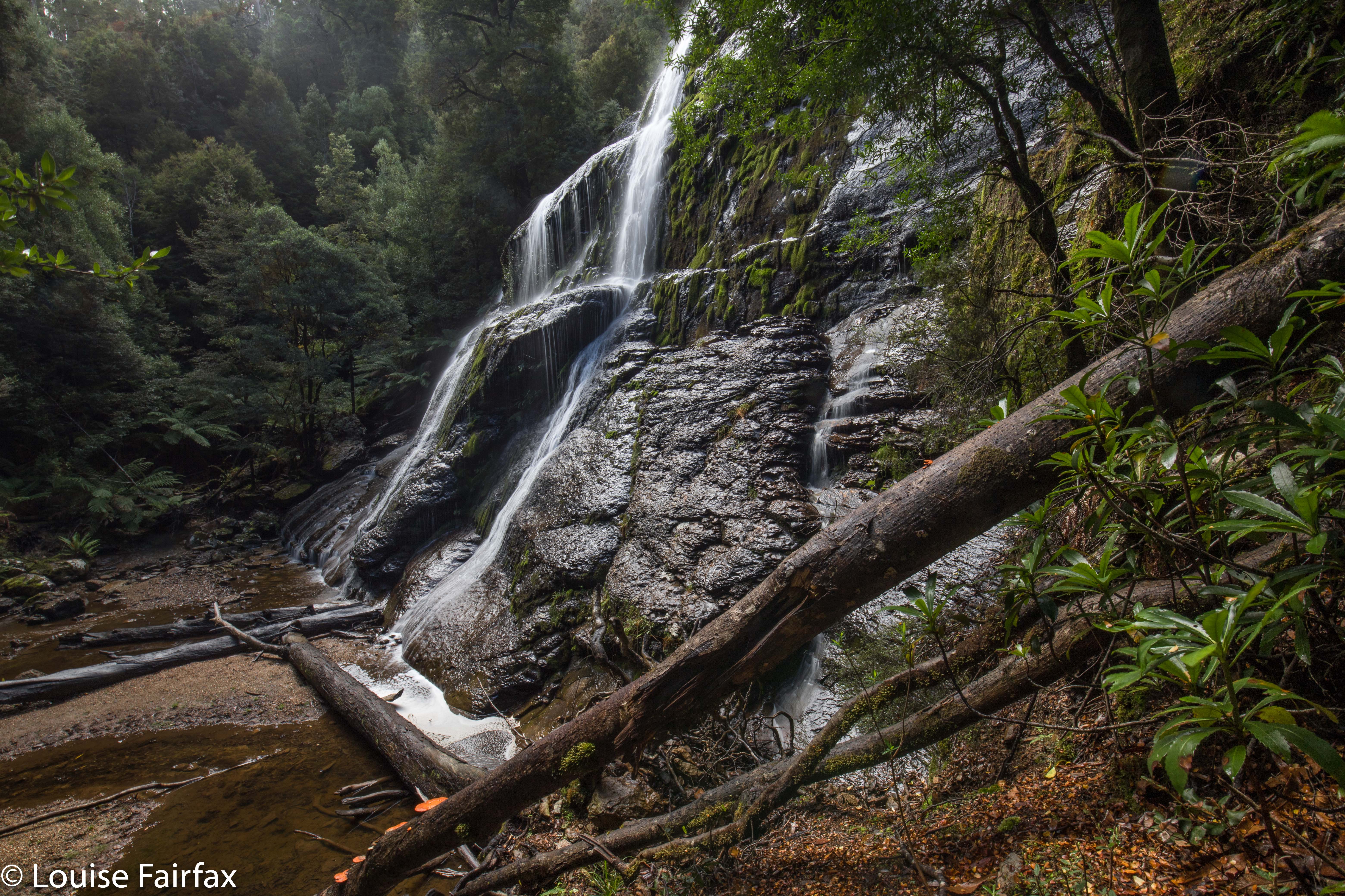
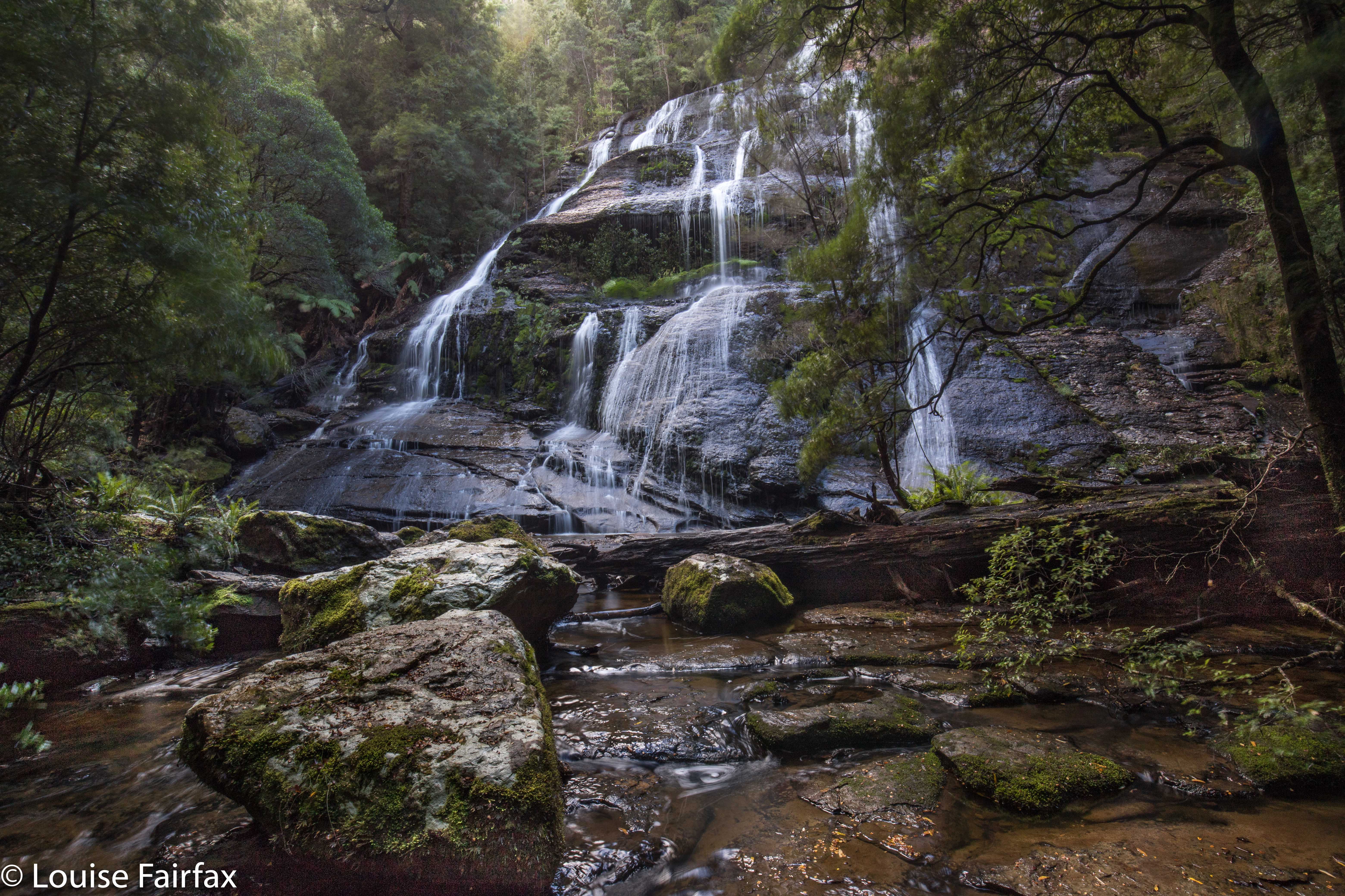
McGowan Falls, May 2018.
 I had for some reason expected McGowans Falls to be a little like Lillydale or Liffey Falls, with signs, paths, picnic tables and so on. I was thus rather surprised to discover that there was not one single direction post to the falls, no road names to give you a clue where you were, just in case you had doubts, and no “arrival status” save for a little cairn with some adorning pink tape. (Not necessarily complaining: just noting. I neither want nor like infrastructure at my falls). If you look down the track, you can see some orange tapes for variety, and even two discarded beer cans hanging in trees in the first three metres to alert you to the fact that you are there.
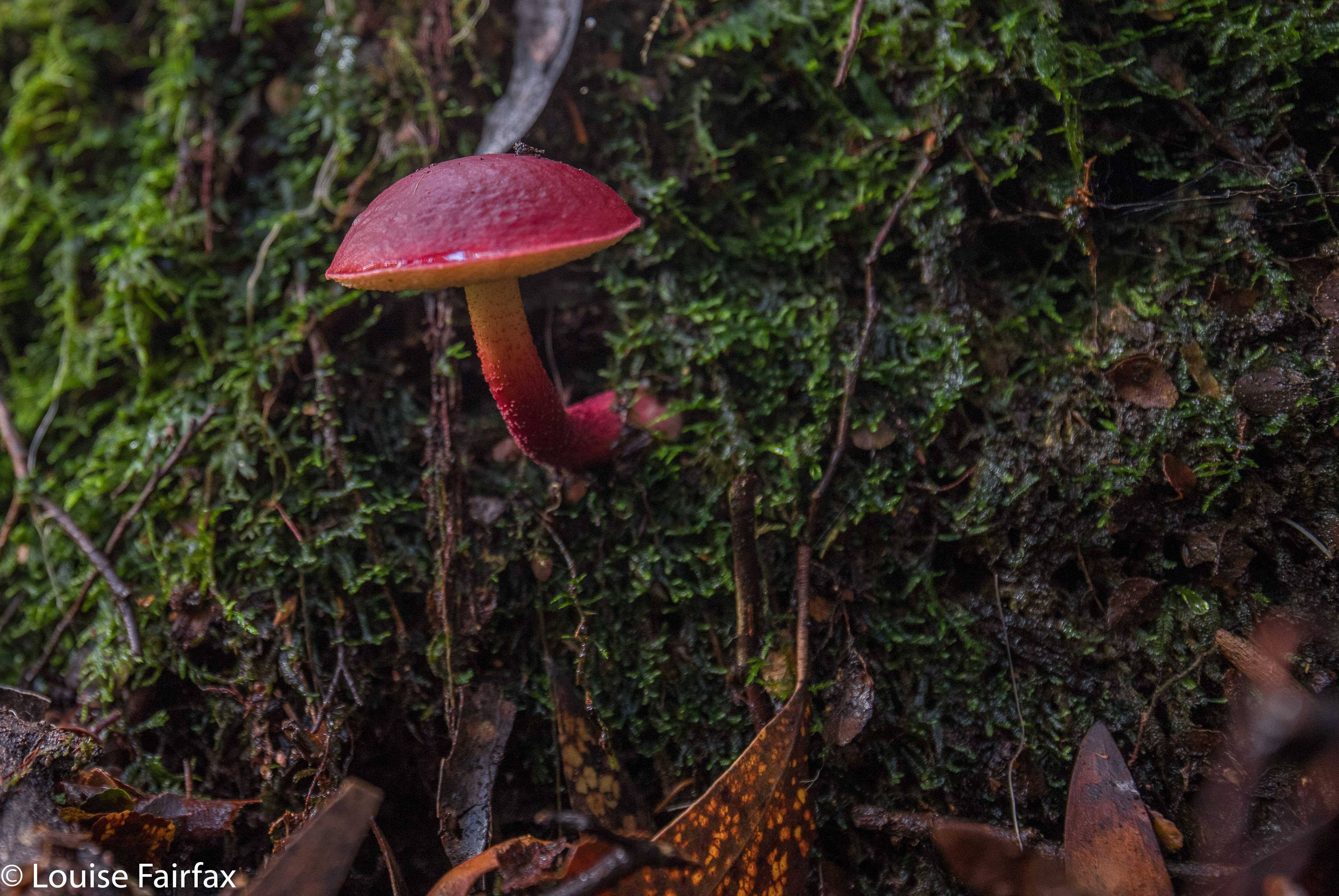
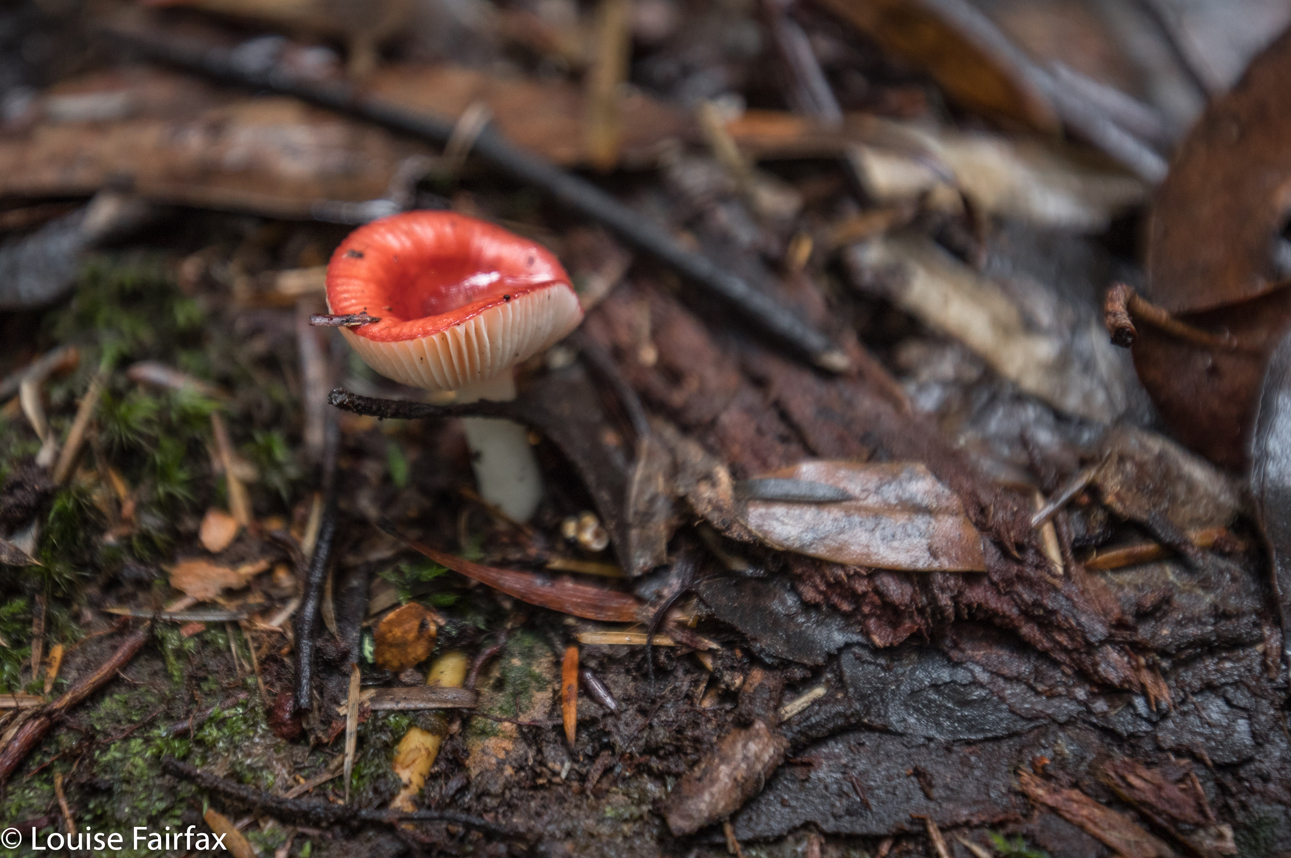 Russula persanguinea
The fact that these falls are not “maintained” means that the pad is an aesthetically-pleasing bush route; there are no metre-wide, levelled-out paths of fake material so you don’t slip; no handrails, and, oh joy, no bridges made out of that plastic stuff Parks now favours – and no viewing platforms to ruin the place. There was not even any rubbish. Weee. It had a magic feel to it.
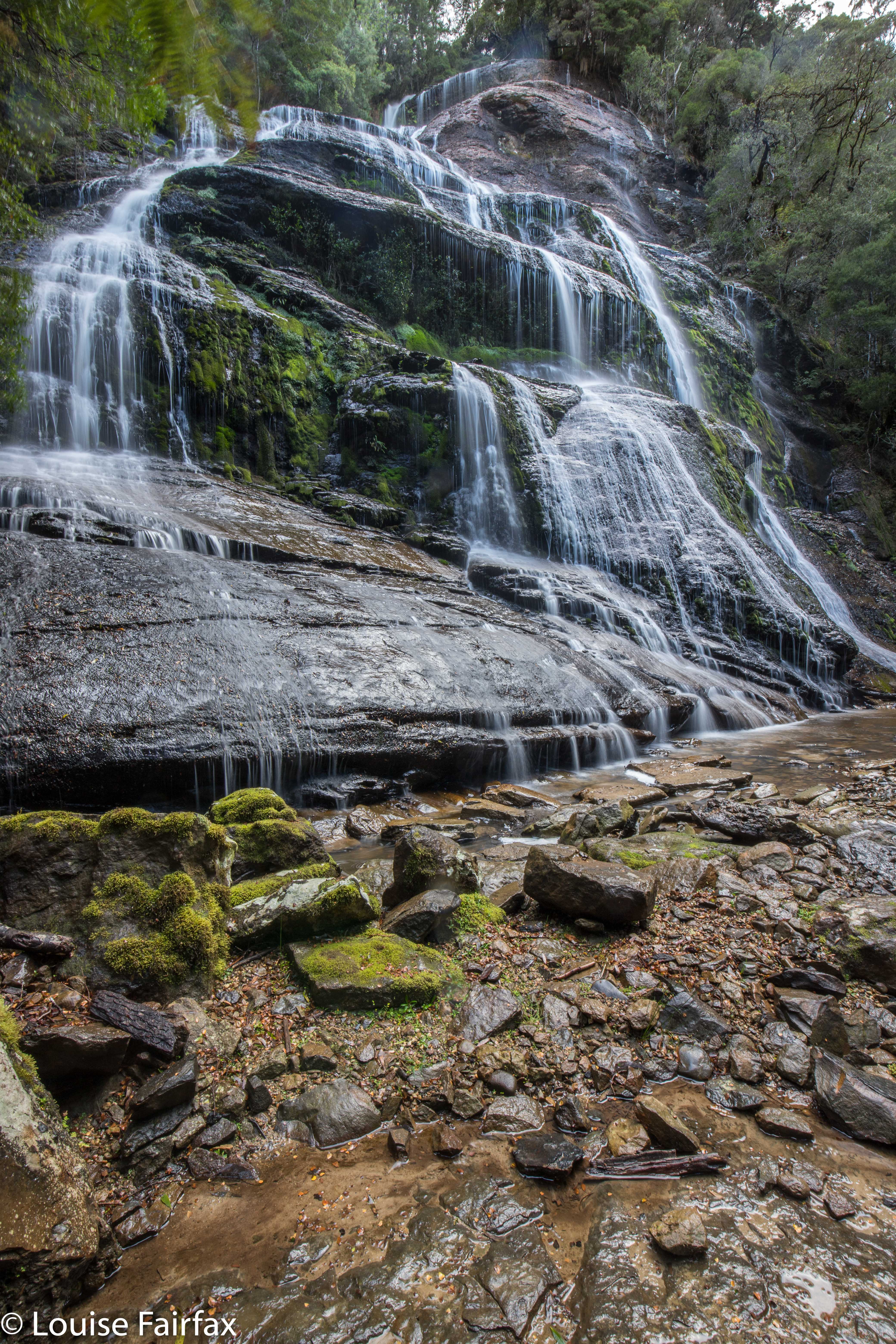 Off you set down a track wide enough for cars for a couple of metres, and then you hang a left (taped) and your track becomes a narrow and appealing route through a rain-forested fairyland along to the top of the falls, and then down a steep climb to the bottom if that’s what you want. It’s not a big walk: it took Carrie and I twelve minutes to get from the car to the base of the falls. It took a LOT longer to come back up – not, as you might think, primarily because we were going upwards, but rather because we had agreed that we would go straight to the falls and then shoot fungi on the way back out. That took a VERY long time.
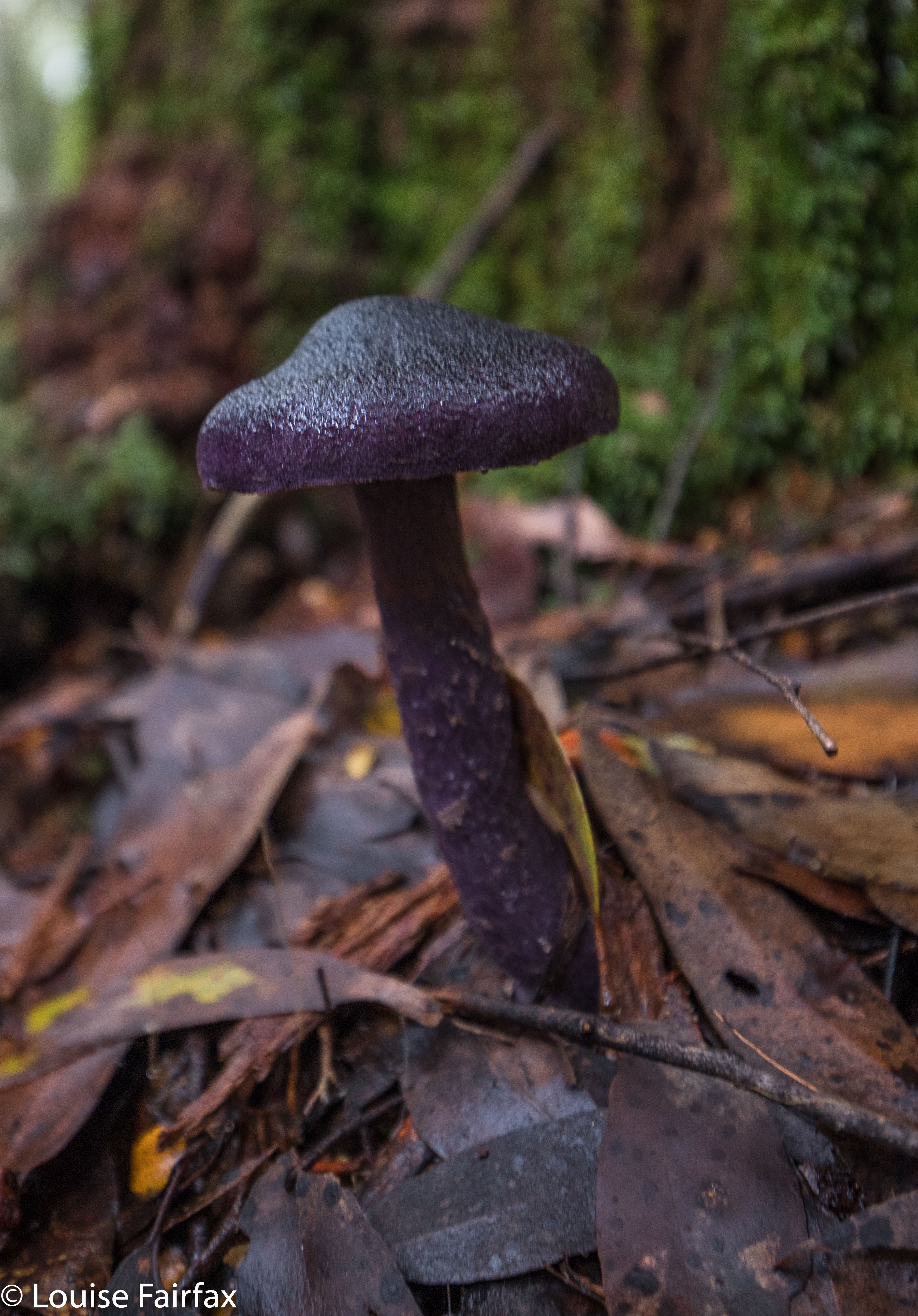
Cortinarius rotundisporus
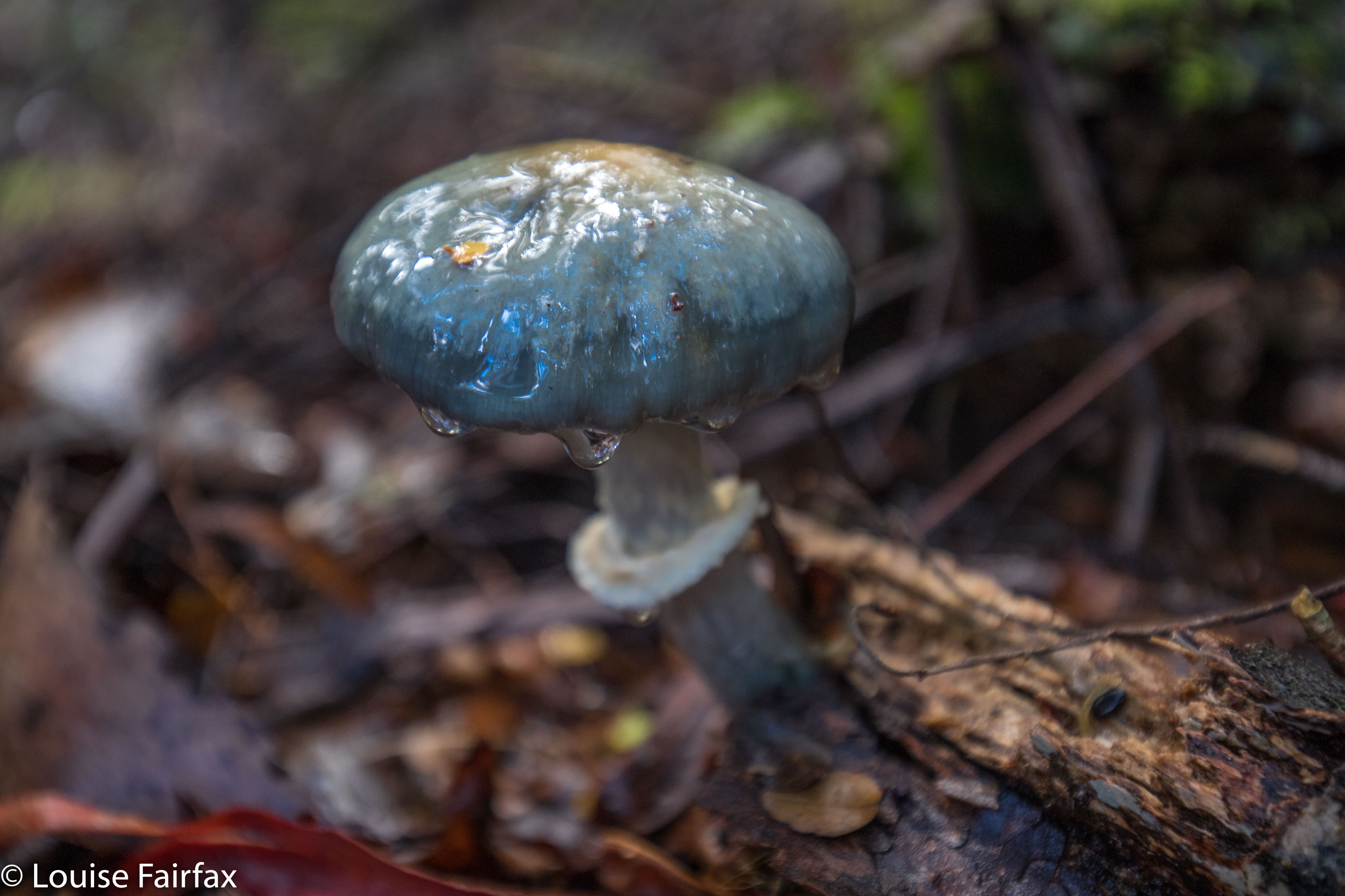
 Cortinarius austroviolaceus I think. If you know better, please advise.
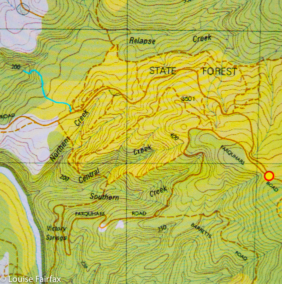
And how do you find the magic cairn that begins this mini-adventure? Turn down the road immediately to the west of the Cam Bridge (A10. W of Burnie), and travel on it to Yolla. There, turn right heading for Takone on what is, or at least becomes, Farquhar Road (not named as such). Stay on this as it goes through “West Takone” (nothing there) and on for a few more kilometres. Ignore the (right hand), northern-pointing Pruana (unnamed / unsigned) Road, and drive until you reach an intersection that is the shape of a fairly narrow Y. Now you turn right to join Relapse Creek Road, not that there is a sign that informs you that this is the case. I marked this intersection on my gps to be doubly sure that I was where I wanted to be and turning right off Farquhar Rd at the right spot. Once you are on Relapse Creek Road, you don’t have too far to go (maybe about a kilometre) until you see the cairn and tapes on your right. The waterfall is on Relapse Creek, downhill to your right. The route from the top of the falls to the base is not for the faint of heart. There’s one “delicate and interesting” ledge section that should be avoided by people not used to negotiating such things.
 Boletellus obscurecoccineus
Thank you for the directions Louise. Hope to find shortly. Love your blog!
-Veronika