Owen 2014 Jun

Mt Owen June  2014

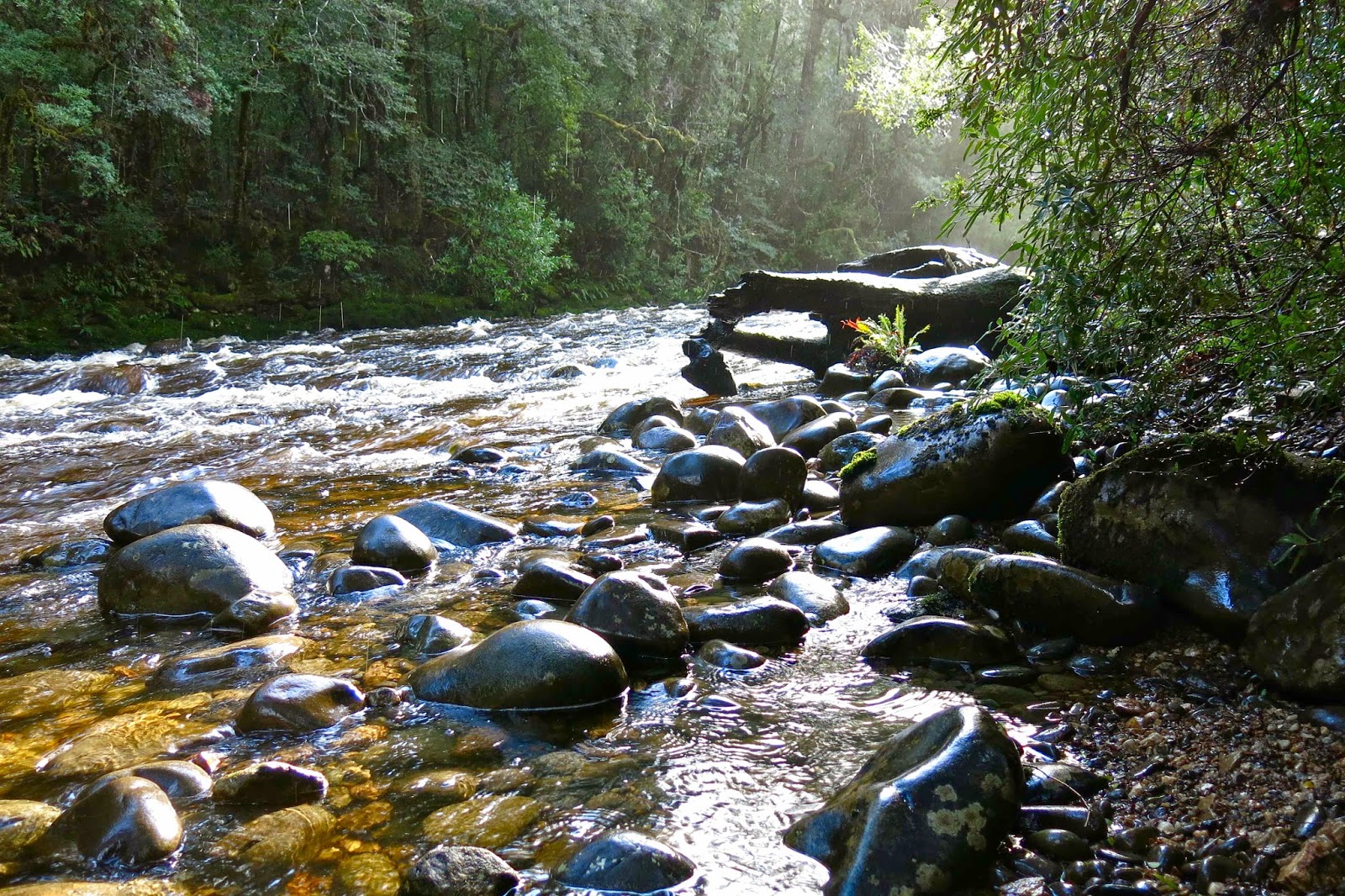
The glorious Franklin
I did not intend to climb Mt Owen this weekend – that is, I did not leave home with that intention – but I snapped my tooth, and had some of it sticking into the roof of my mouth just before our group set out on the venture I had been intending, so had to quickly form a plan B). (This goes to show you shouldn’t eat home-made cherry muffins with the seeds left in when about to go walking). Rather than get into the middle of nowhere and then discover that I urgently needed dental attention, thus ruining the walk for the others, I opted to forego this trip. Sadly, I waved them farewell.

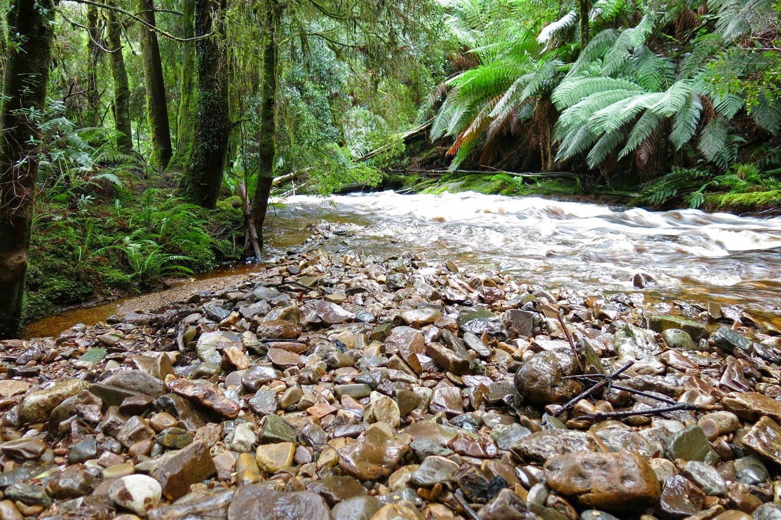
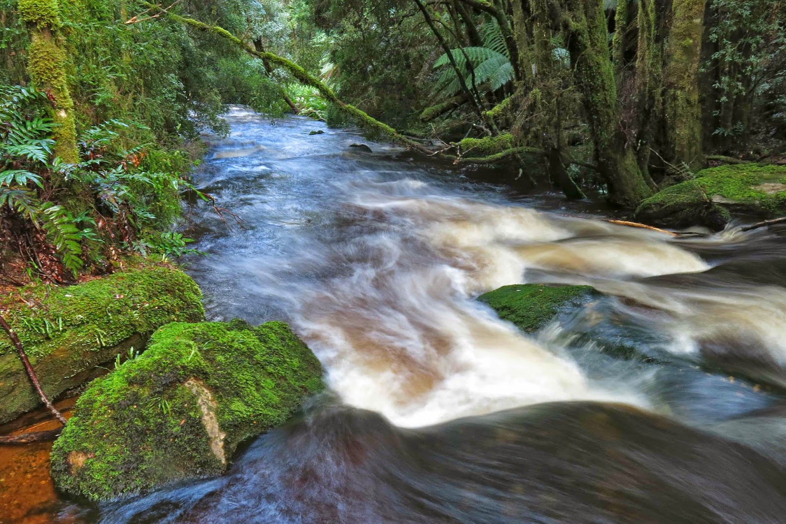
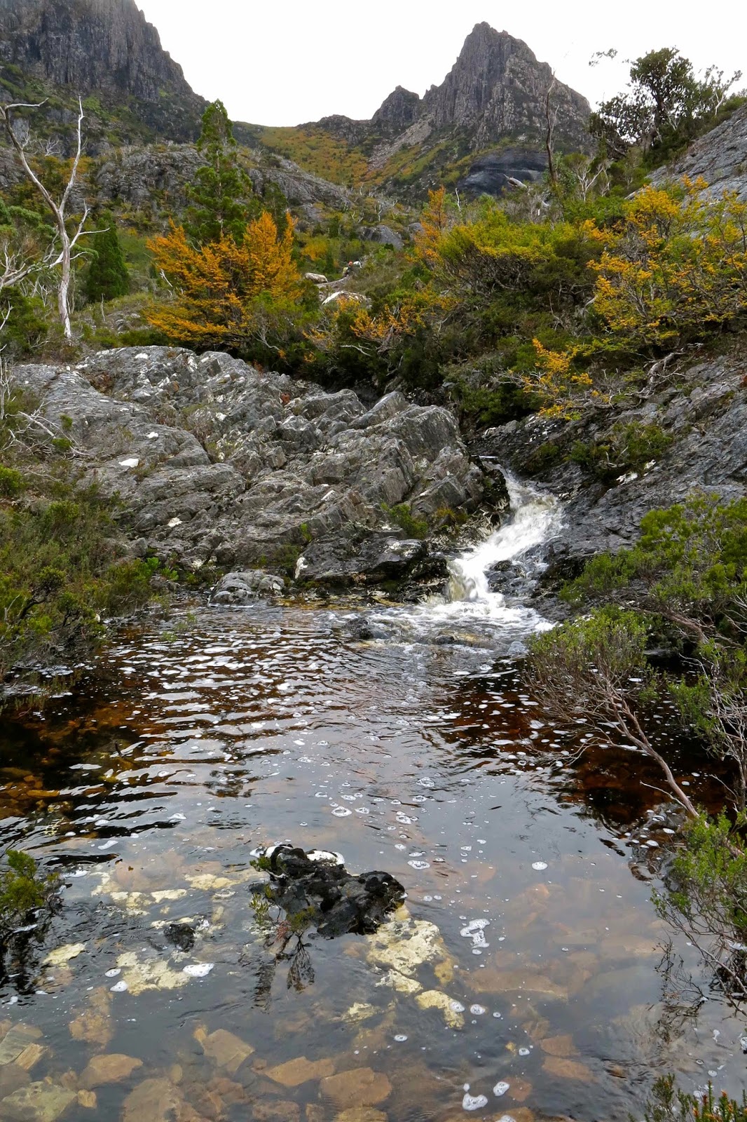
Franklin River

But what should I do now? I’d driven all this way (2 1/2 hours). I wasn’t just going to turn around and drive home, and my husband had already gone bush with other people, so no one would even be pleased at an early return. Well, I’d never seen Nelson Falls. Let’s start with that and see how the tooth was then.

(This is a later photo. The 2017 Louise hates the 2014 Louise’s photo).
As I drove in that direction, I came to a sign advertising a walk in the rainforest, so I pulled over. Might as well do all the tourist things. It was beside the Franklin River. Great. This river holds a special place in my heart. I was one of the multitudes who voted for Bob Hawke on the strength of the fact that he promised to save this wild river AND he kept his promise. I wanted to walk its banks here, even if only for a short distance, and immerse myself in a little history.

However, there was a sign there warning against entry, and informing us that dangerous trees lurked behind the barricade. I was fascinated. I know of dangerous fungi that poison, and dangerous snakes that bite; of lawyer vines that grab you and won’t let you out of their clutches, but dangerous trees! I must see and photograph them, so I climbed around the warning sign and went seeking. I found a magnificent, beer-coloured river gurgling intently as it urgently rushed downstream, lots of soothing green mosses and lichens, but no dangerous trees lying maliciously in wait for me were to be seen anywhere.

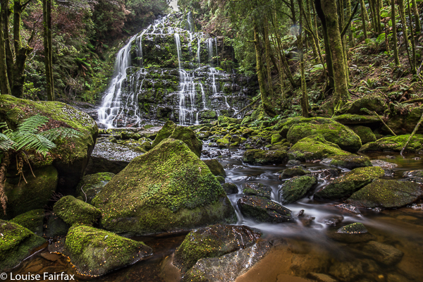
At Nelson Falls, I found a different sign. This one warned me that in nature I might slip. NO. How dare nature be natural ! That’s surely not what I came to see. Anyway, I managed to see the falls without slipping or finding cause to sue someone who has somehow become responsible for my behaviour if something goes wrong. The falls had so much water you could barely see them for the white spume-blur.

Climbing Mt Owen
I haven’t climbed Mt Owen yet, so in Queenstown I decided that would be a good mountain to do when in doubt about your teeth, so off I set for the base of Owen.

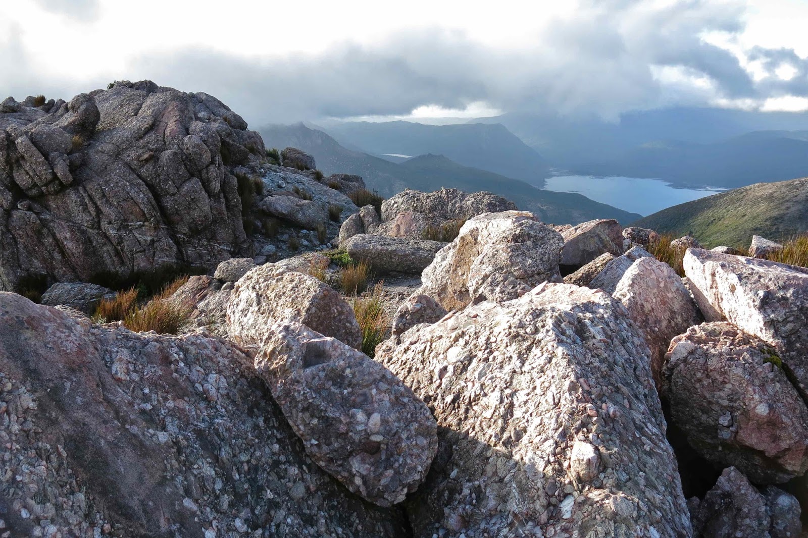
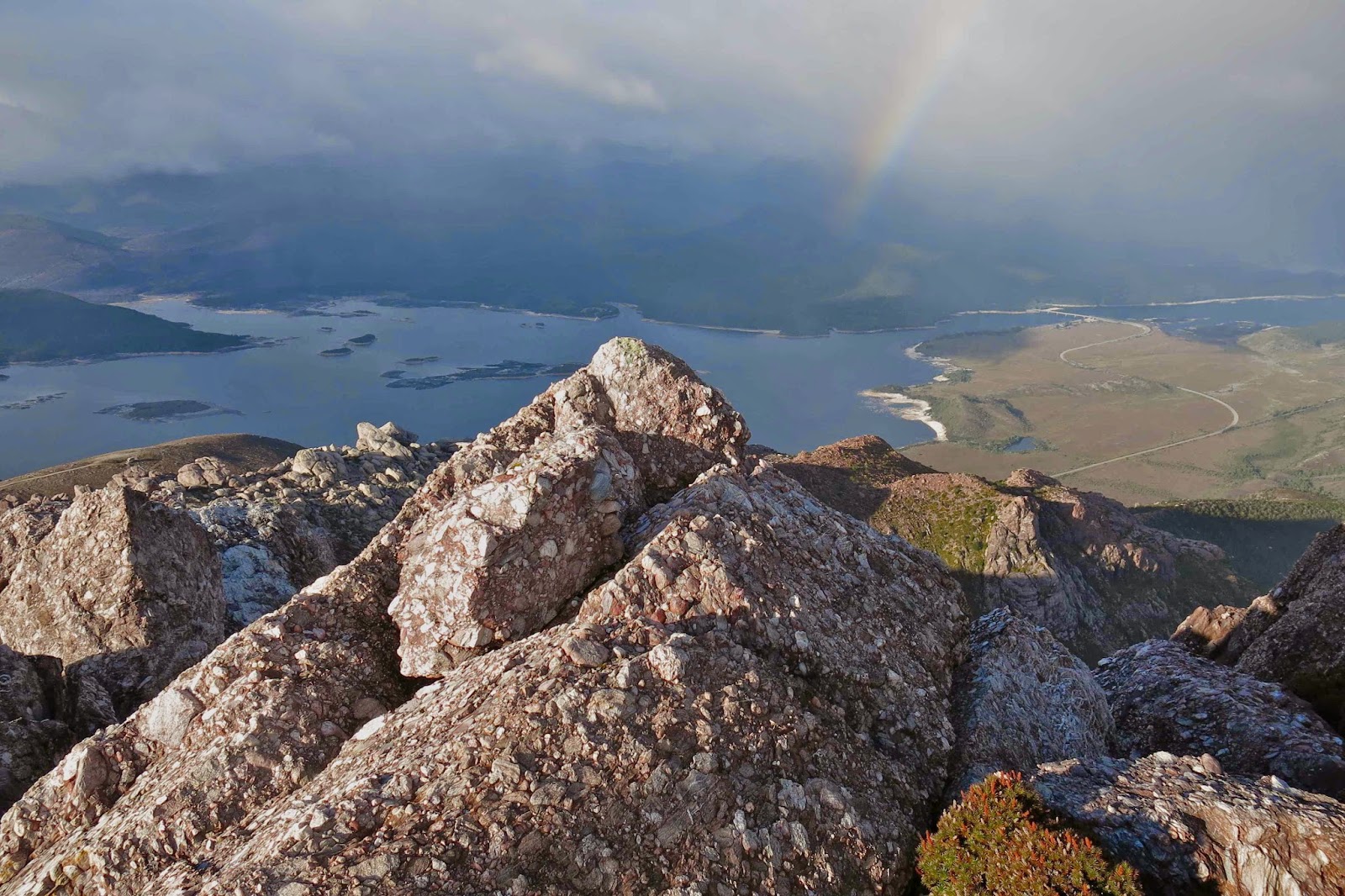
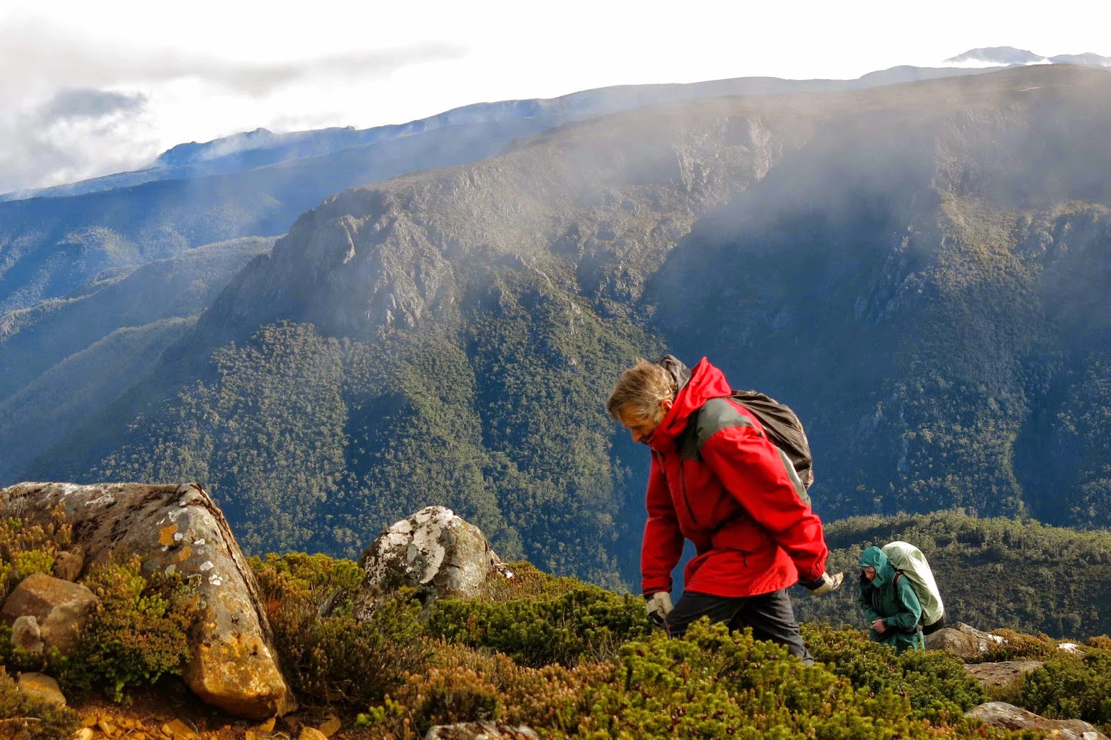
Having not planned on day walking, I lacked a day pack, so just set out hoping the rain wouldn’t return, carrying only gps, camera and compass. Halfway up, the sky changed from benign to threatening. On I strode, hoping I wouldn’t get too wet. The anorak I’d chosen was windproof, but no longer useful protection against rain, being about as old as the Franklin Dam issue. In rolled more clouds. As a rule, I loathe being made to stop on my way up a mountain, and one of the enormous blessings of going solo is that there’s no one there to ask me to stop. However, I hit a view that I feared might have vanished by my return the way the weather was changing, so stopped long enough for a couple of quick shots before continuing on, staring at what appeared to be a cross at the top of the summit still visible. Unlike Australia to be religious, I thought. However, the ‘cross’, I discovered when I drew nearer, was indeed something religious, but was nothing about the God of Christianity; rather it was about our sacrifice to technology. I should have known.

Not only was I disabused as to the nature of the object on top, but  also to the site of the summit. My tower, I could see once there, was unfortunately not the summit. There was something bigger and better (and with a trig on) in the distance through the mist … and then it vanished. While it was visible, I took a compass bearing on it, more so that I could get back to where I was now standing than to reach it in the first place, as I was pretty confident I could maintain direction having once spotted it, but turning around is often tricky. It’s easy to get confused.
 
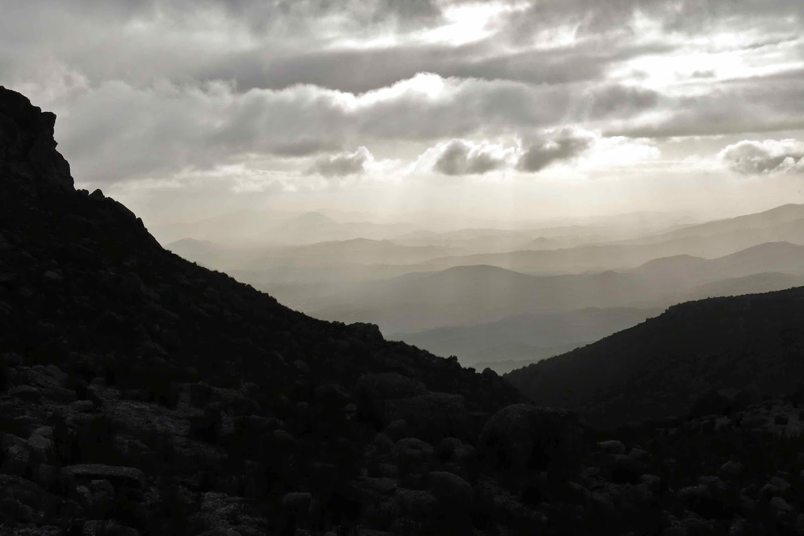
The view from the top was hardly exotic in such mist, but I still had enough sense of its promise from the few tachistoscopic glimpses I did get, to know I want to return – preferably on a long summer’s evening to watch the light gently fade. Right now, the clouds were getting increasingly darker and it was time to head back down, having only just arrived. Considering the mining operations on Mt Lyell facing this mountain, perhaps the mist was a bigger bonus than I knew. It looks as if the entire mountain will be eaten by the machines in the near future. I quitted the scene of mass destruction and headed back to Lake St Clair, and, for the first time in my life, slept at the Derwent Bridge end.
Do I need to tell you I had been officially trespassing the whole time I climbed my mountain? This was a grand day of warnings and disobedience.

Campbell 2014 May. Tenting on top

Mt Campbell: Tenting on top. May 2014

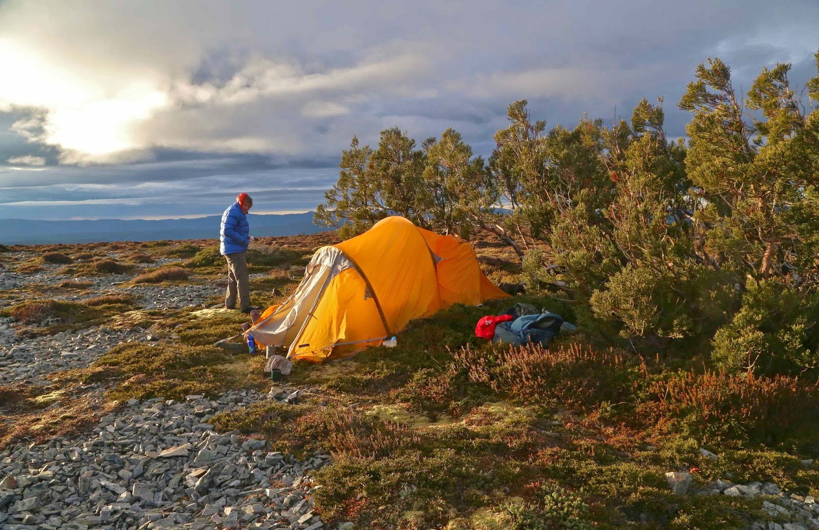
The day was closing in as we reached the summit of Mt Campbell, mantled in mist, yet still visible – just. The climb had luckily only taken forty minutes to get to the top plateau from the car, but we’d set out far too late from home, and now time was getting away from us. I didn’t want to add the problems of failing light while I tried to pitch our tent in this raging hurricane with the wind snatching at loose flaps and trying to run off with the tent while I did battle to push poles through slots. The wind attacked noisily with every gust so it was impossible to converse. We quickly chose our spot. It seemed fine – no pointed rocks underneath, a bit of protection from a small cluster of pencil pines conveniently located near the summit cairn.

Sunrise next morning
“You get water while I pitch this,”, I said, thinking to maximise jobs done in the light. But then I looked at the thick mist encompassing us. No. Bad idea. Stick together.
“How much light do we have?” I asked, working feverishly at this stage at poking poles in the spaces designed to take them.
“Fifteen mins. Less in this mist.”
“OK. I really need to hurry. I don’t want to get water until this is up. Can you gather the water containers so we’re ready to go as soon as I’m finished.” Off we set together into the void that was not entirely unknown.

The mist had parted briefly to allow a tachistoscopic glance at a sheening that must be water in the direction in which we were now heading. Whoops. We’d gone about three paces when I realised that, although I knew how to get there, I may well not know how to get back if it completely closed in again, or got dark. Out with the compass so I could get a bearing on our current direction and thus have a back bearing for the way home. This was not a night to be out, lost without a tent. We were not heading where I expected to go, but I was sure the glint was not a mirage.

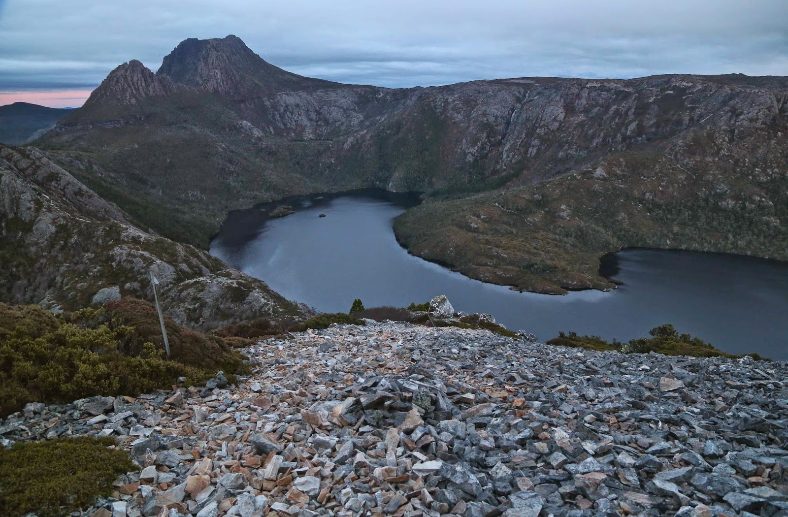
Early light on Cradle
By the time I had filled the bag and two bottles, spilling a little as I poured, putting my hand in the tarn for speed of gathering, my fingers were aching with a terrible pain. I wanted to stop halfway through the job, but I knew I needed to gather enough water so that if this tarn were a block of ice in the morning, we would still get breakfast. We’d keep this water in the tent near our bodies to stop it freezing.

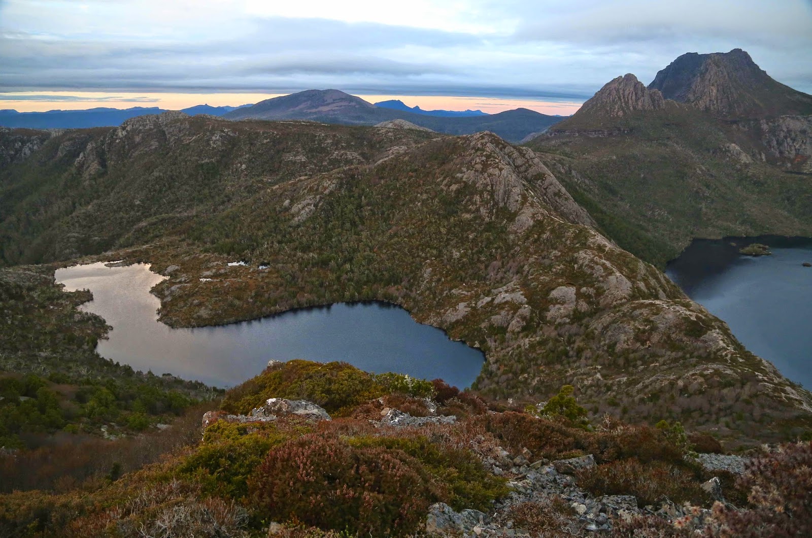
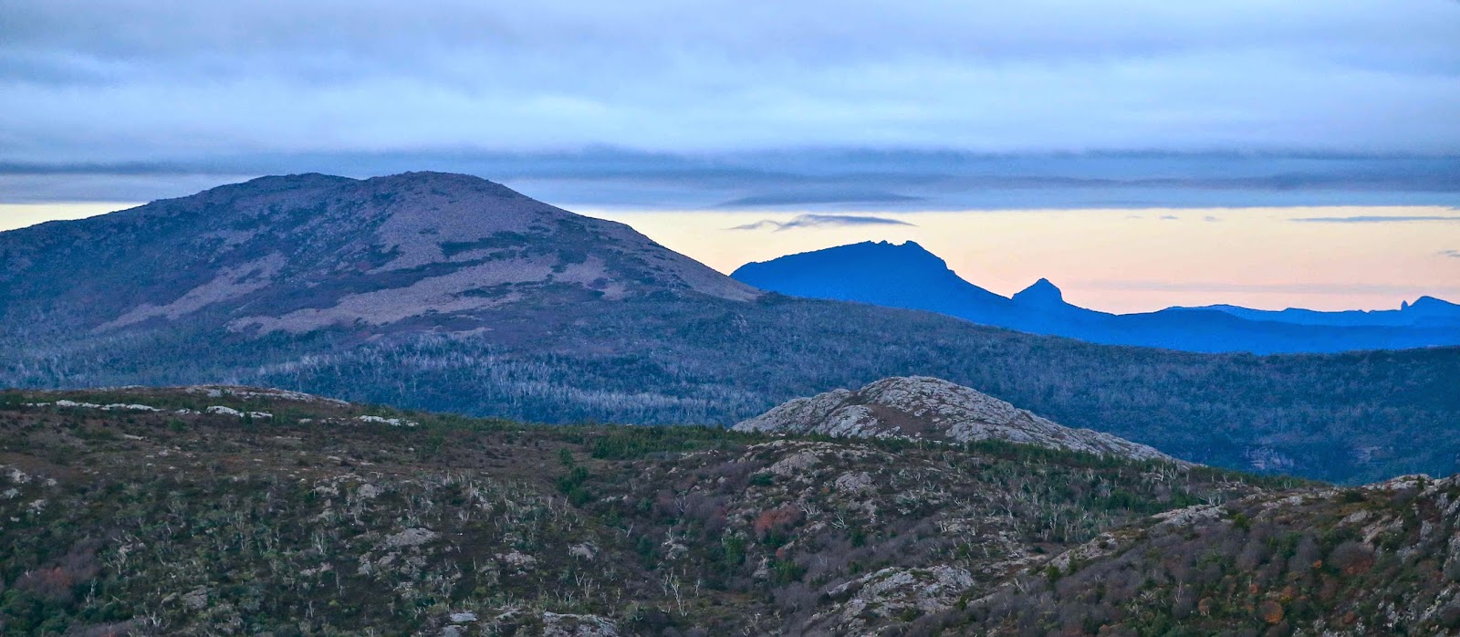
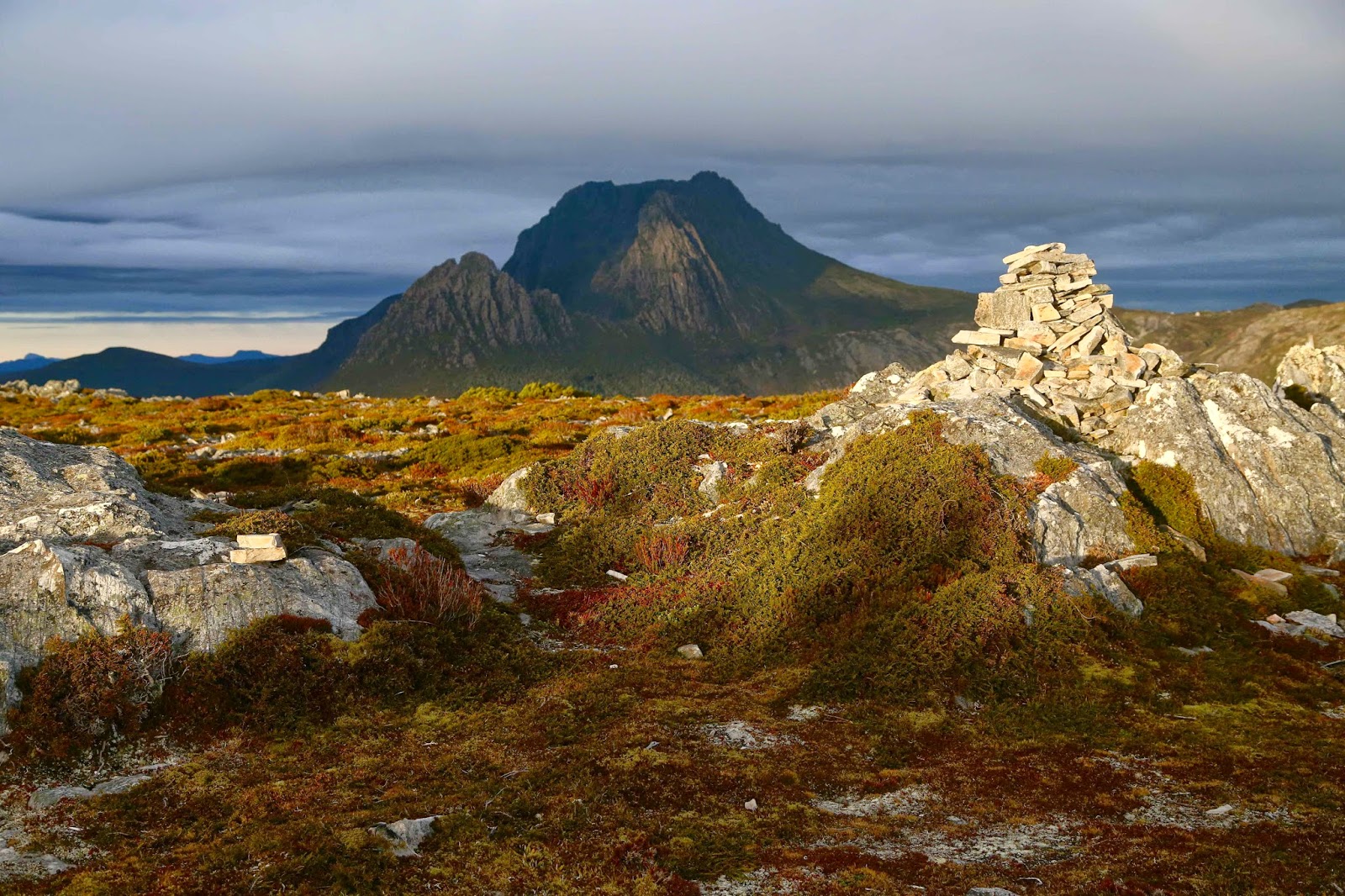
Emmett, Pelion West, Perrins Bluff, and High Dome from our aerie
I boiled our water in the vestibule, and left the mixture to sit for the obligatory ten minutes while we took off our boots. All the outside jobs were now done. We could start relaxing. The wind’s roar was our background music. We like it. Our tent was secure. For now. Hopefully I’d done a sufficiently good job. One hears horror stories of people being blown away in their tent. As we huddled up the far end, getting ourselves into position for later, we had a giggle about what we were doing.
“You know,” I said, “I think a lot of folk might wonder why it is that two people who own a spacious house, a cosy open fire, leather chairs to read in, and 300 trees on five acres of land that overlooks a river would come out in the middle of a raging storm with a flimsy bit of fabric to protect them, munching on rehydrated ex-dehydrated food.” Bruce chuckled with glee.

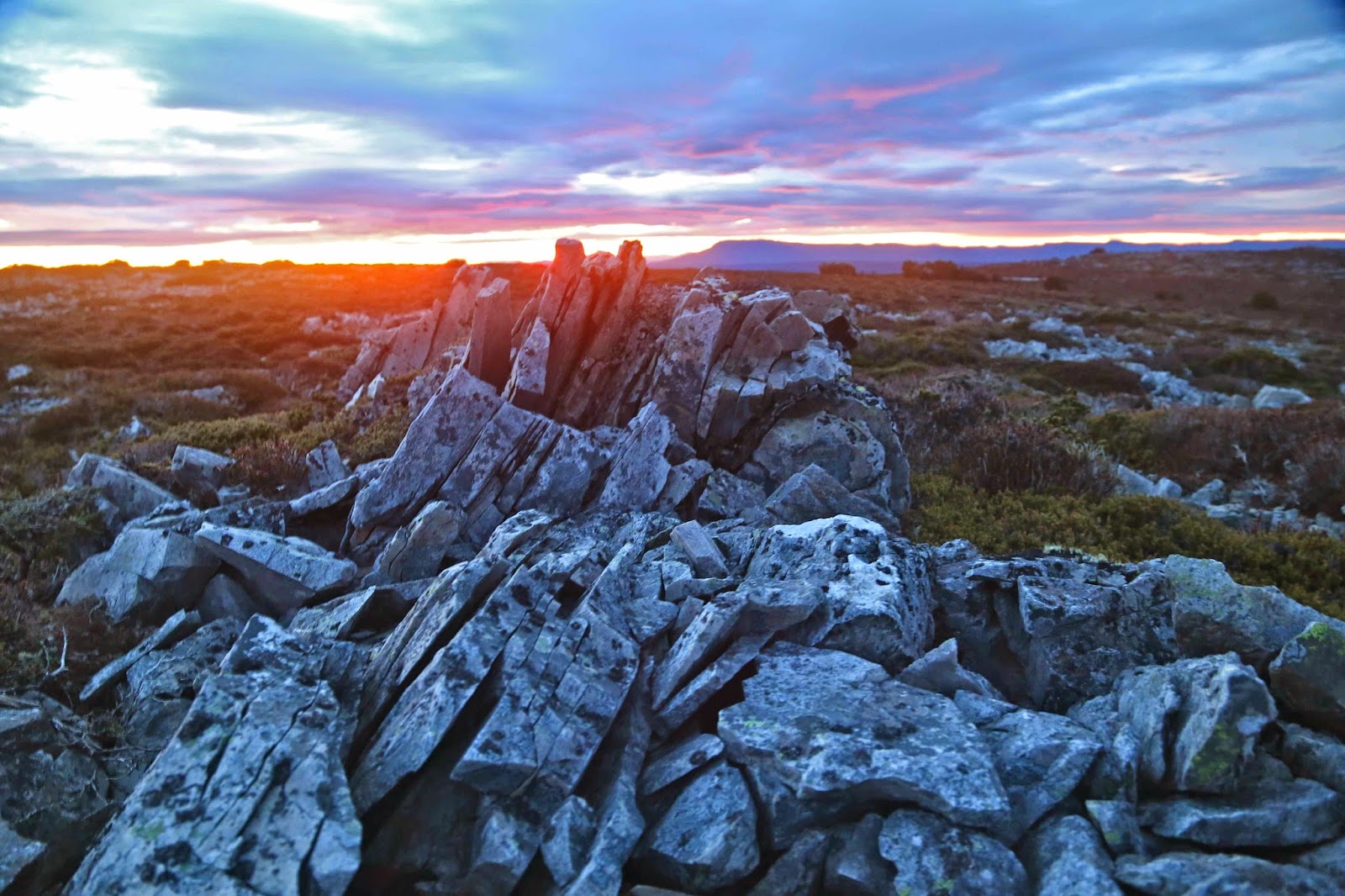
Dawn light behind Rowland
Dinner had been very early, but I wanted to make sure all important jobs were finished before we fully relaxed. Now it was time for the evening’s entertainment, which, in this case, was provided by my husband, who read to me from a book Henry Reynolds wrote in 1982 about aboriginal-whiteperson relationships, looking at the inclusion of references to white people and their belongings that infiltrated various aboriginal languages right across Australia long before an actual encounter had taken place. This was very interesting, and kept us awake for a while, but then the horrible hour of going out into the storm to make sure our bladders were empty had arrived. Erk. Actually, the wind wasn’t quite as bad as it sounded, and at least it wasn’t raining. Yet.

I awoke at 11.30 as my body indicated it needed to go outside again. I told it it was delusional and rolled over. It became insistent. At 12.30 it won. As with last time, the sound of the fury was much worse than the actuality, although I did not linger out there! Back snug in my bag, I lay listening to the rage. This was precisely what we were here for, wasn’t it? To be a part of nature; to participate in its wild excess (but with safety – a kind of attenuated participation).
On the way up, I had realised that this weekend was the 49th anniversary, of the Scott-Kilvert tragedy which took place right in the area that we were playing in. Having written extensively about this, I am aware of all the details and they added force to the storm that was brewing around us. I decided I wouldn’t tell Bruce about this until we were safely out in case it put him off. As I lay awake, I relived some of the horrific details, and then pictured us in the morning, crawling in thick mist, buffeted by winds that wanted to lift us off the ground. Luckily I fell asleep before my imagination got any worse.

At 6.30, a somewhat enthusiastic voice awoke me.
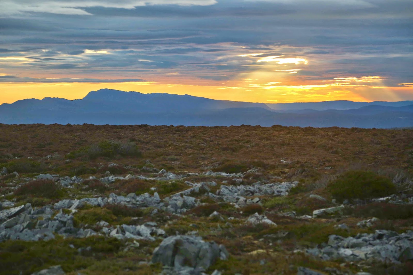
“It’s lovely out here,” Bruce reported. That it was, and freezing too. We bulked up with multiple coats and four head-covers and more and went out to be part of the dawn. Already the reds and oranges limning Mt Roland were surprisingly vibrant. As the sun rose, we moved around from one vantage point to another – me photographing; he, melding with the dawn as he admired it. The mist had cleared, although the grey sky above suggested the day was going to be a gloomy one. We were experiencing the best it had to offer. From one position, I was excited to see Frenchmans Cap. It seems that every single high peak I climb, I get a view of this amazing mountain with its unmistakable shape. We were also excited to note that we could see the sea for about 20 of our 360 degrees; the sun lit it beautifully as it skipped across its surface.
We didn’t waste any time after sunrise, dismantling our tent, packing and descending once we’d breakfasted. As my key turned in the ignition, the first drops of rain fell. It got heavier as we drove sedately along, nearly crashing twice with speeding tourists who needed to ignore the 40 kph signs so as to hastily reach the lake and tick the box that says “Cradle Mountain experience”. At least there were no dead animals on the road yet.

Inglis 2014 May

Mt Inglis. 6 May 2014

This is where I feel the start of the route to Mt Inglis begins – at the rocky part of Barn Bluff, where you first leave the track up to the Bluff, and start contouring around its belly instead.
Summit day for Mt Inglis delivered thick mist, but no rain, so off the seven of us set, some with more enthusiasm than others on what promised to be a very demanding day, and one that would be more of an endurance test than a pleasure if it began to rain again. Group momentum prevailed. I think I heard Rupert later report that his gps data indicated that we covered 23 kilometres with 1200 metres total climb – giving us a 35 ‘kilometre equivalent’ day. It was certainly a long one, beginning at 8.10 a.m. and finishing at 5 p.m. (later for some; I rushed the last bit to get out of the icy wind on the Cirque – and because I felt like a stride-out after all that goose-stepping).

The first (and last on the rebound) part of the route is on the track, firstly up to the Cirque and then part way up Barn Bluff until one hits the rocky face, when it’s time to contour, either on the rocks or a bit lower in the scrub. We began on the rocks, and everyone was following me on my route, so I stayed there until the rocks finished, and a scrubby spur led down to another cirque. The others voted for the scrub on the return journey, however. It actually took a fraction (just a couple of minutes) longer, but they preferred it to the slip factor of rock rubble covered in slime that was growing moist again, and were very happy with their choice. In the mist, we could see little, and I hadn’t had a good look at the map. I was silly enough to think that the next thing we climbed was Inglis. Ha ha. There was still a very long way to go and we were not yet half way there. We had been underway (not counting morning tea and waiting breaks) one and a half hours at this stage.

Pelion West dominates this particular view. Achilles lies to the far right.

Ahead of us lay not only our hill, but also a large moor area that looked fine from above, albeit rather expansive in its proportions, but which was a bit tiring in reality, as it required high lifting of the legs. The others were moving well, and when I stopped to fill my husband’s drinking bottle for him and then carry two packs, it took me at least ten minutes to catch them. I was sweating when I at last joined onto the tail end, just as we all began to negotiate the next patch of over-headhigh scrub that offered stirling resistance to our best efforts. Relief came when we happened on a beautiful patch of myrtle forest that was not only delightfully green but also open enough to allow easy passage.

Fury Gorge and the backside of Barn Bluff and Cradle as seen from the summit.

Up until this point in time, Mt Inglis had kept running away from us, and remained a matter of faith based on a belief in map accuracy. At last as we emerged from the myrtles onto an open table top, we could see the summit, although we were now too close to see the overall shape of our beasty. I never did see it as a whole mountain.

The group strides out; no loitering on this day!

Our turn-around time was now a mere 45 minutes away. Not seeing the height of the scrub that lay ahead and thinking the green was nice ankle-high alpine vegetation, I guessed at 20 minutes to the top from there. Another fast walker reckoned 30. Either way, we could do it if we hurried. Off we set as quickly as we could so as not to be timed out of our mountain. Neither of us was quite correct in our guesswork, but four of us were on the top in 24 minutes, and everyone was at the top before we all turned into pumpkins. We even got time to sit up there and photograph, survey the view and appreciate the sense that we had the whole world laid out before us while we took a rather hurried lunch break. The mist even obligingly cleared. It was truly beautiful up there, and, due to the vast stretches of low moorland separating us from the other mountains of our purview, it seemed as if we could see forever.

Looking down on Lake Will from the Fury Cirque on the rebound.

Again on the descent, everyone worked hard and well, and we made the rocky section below Barn Bluff in good time considering the terrain. It was getting dark quickly, so it seemed much later than it was, but the darkness rising was in fact due to the louring mist rather than the lateness of the day. Despite the freezing conditions, I think all of us were sweating from the toil. The wind was really beginning to rip up a frenzy and the temperature was dropping, but we also knew we were on target to be back before night fell. The wind was so strong as we hit the final tracked section that I started to get a headache, so dashed ahead to get myself out of it (with permission). As I cleaned my teeth by the tank after dinner, light sleet was falling: white drifting sago against the blackness of the night.

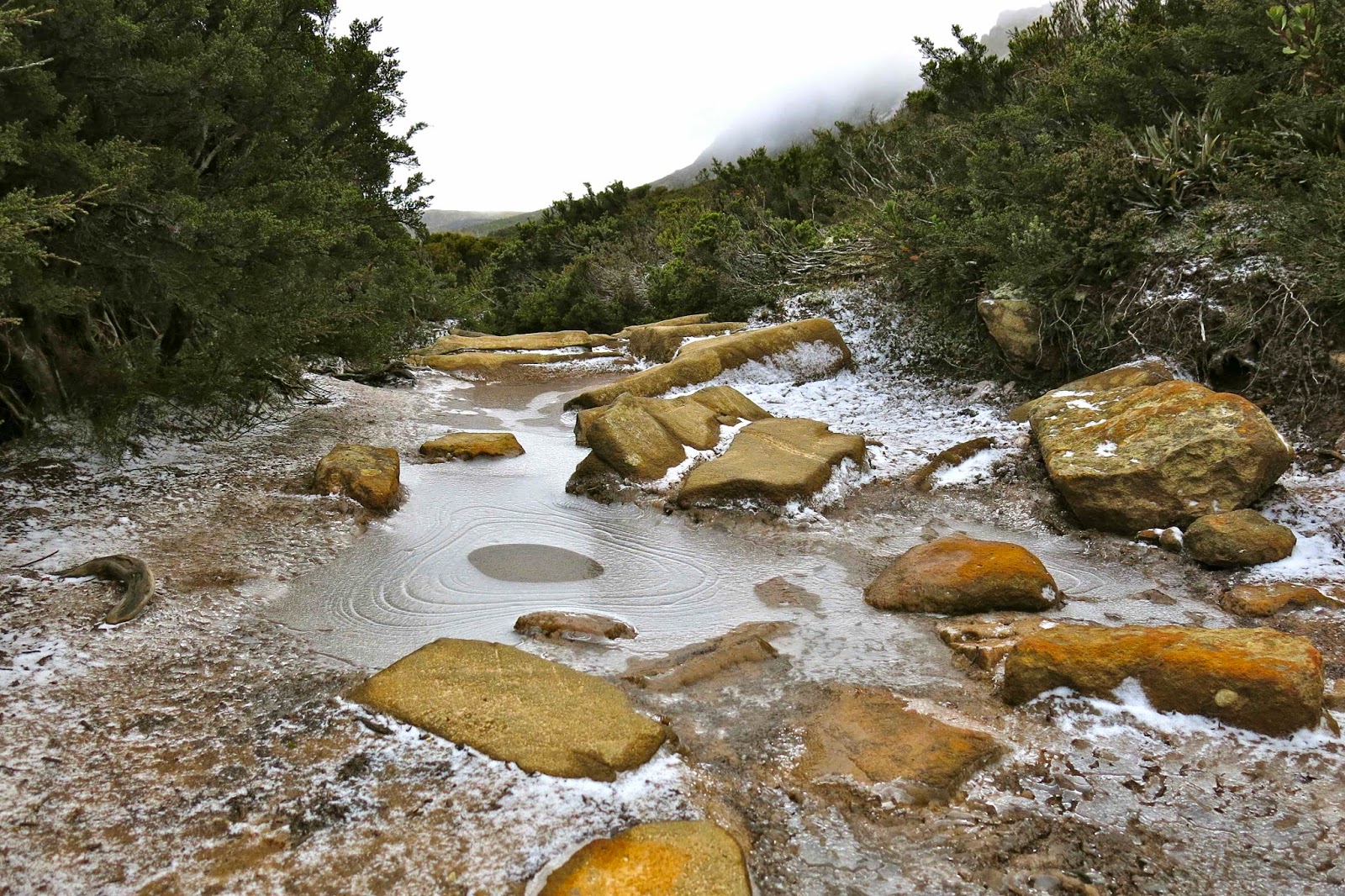
Icy path on the final day.
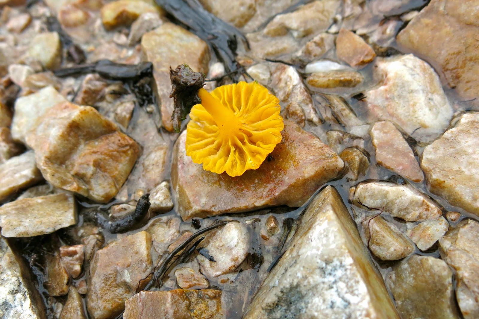
The underside of Hygrocybe schistophila

Next morning, the first words I heard were: “Be careful going to the toilet that you don’t slip on the snow.” That got me out of my warm sleeping bag; I wanted to see the sight of Waterfall Valley with a light dusting of icing sugar. Beautiful.

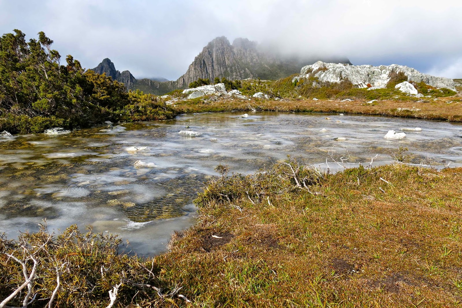
Ice floats on Kathleen’s Pool
I was lucky enough to go up the track first and thus got to follow the pristine line of white ice and snow crystals as I walked and photographed. I was amazed at how many animals make use of the Overland Track boardwalk! The only indentations offsetting the neat white grains were the quaint paw prints of quolls, wombats and wallabies. Fungi and fagus provided colour. What a great trip.

Emmett 2014 May

Mt Emmett

We had not set out intending to climb Mt Emmett on this trip: instead, Mts Inglis and Proteus were on our agenda. However, the dismal weather forecast had us altering our plans. The worst day was to be our second one, so it was decided that we’d only go as far as Scott-Kilvert hut, behind Cradle Mountain, on the first day (instead of to the tarn on the moorland past the belly of Barn Bluff), and see just how much rain was going to fall thereafter before we finalised Plan B.

Approaching Hanson’s Peak, day 1

Day two was as bad as predicted, so the new plan was to climb Mt Emmett on this day, and then move to a better location for attacking Inglis the next one. 

 
En route, day 1

To the average person, Mt Emmett is not a name that means a lot. If you get out the appropriate map, you’ll find it sitting beside Cradle Mountain, minding its own business, looking nice and harmless as a bunch of smooth brown elliptical lines. When seen from the Cirque between Cradle and Waterfall Valley hut, it looks like a nicely rounded and gentle scree slope, much like many of the English Fells that you can dash up at a run. Before I knew better, I had once planned on sleeping on the top. 

A beautiful autumn bonsai Fagus plant on Hanson’s Peak

 Cradle from Hanson’s Peak
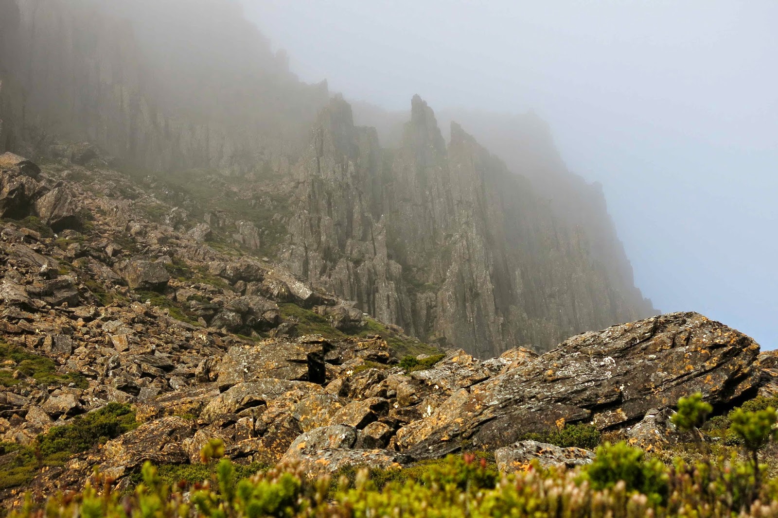
Unfortunately, the reality of this cozening deluder is that this is a mountain of angular boulder rubble, which could have been part of some story of angry gods throwing fridge-sized stone missiles at enemies and then cursing them so that they became covered in slimy black moss to destroy any approach efforts of hapless humans.

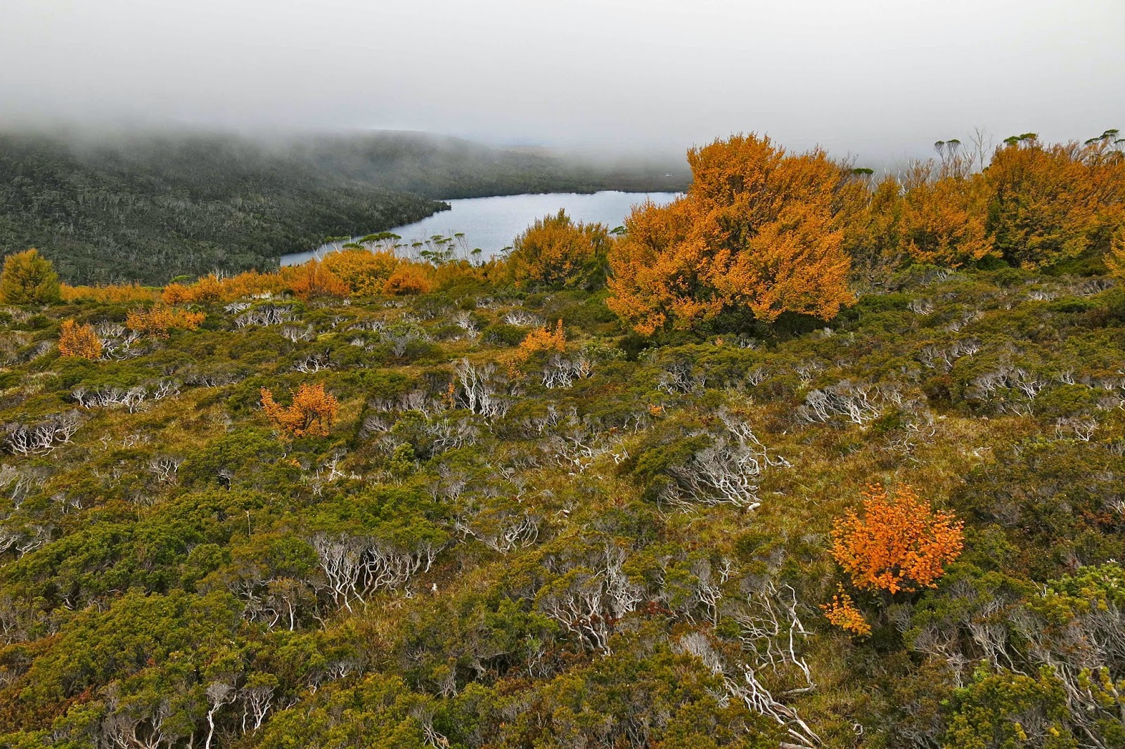
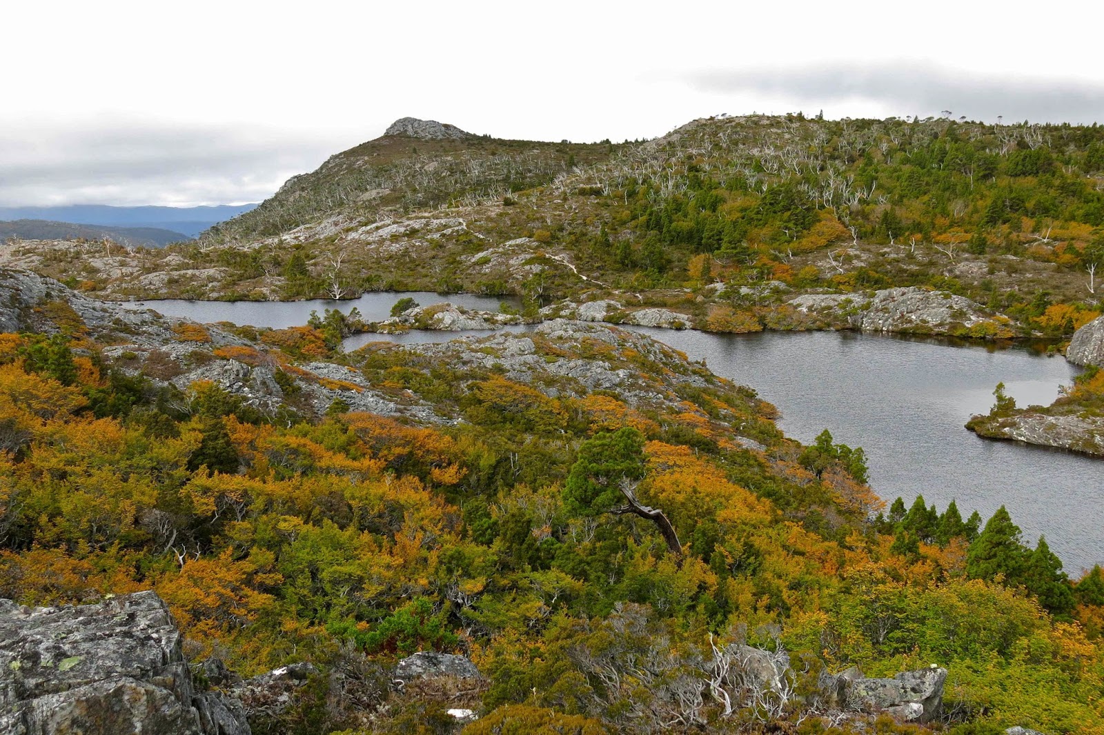
Twisted Lakes in autumn glory

We had already had one failed attempt on this mountain, admittedly due to snow (see my other Emmett entry: http://www.natureloverswalks.com/mt-emmett/ ) and I had not entertained the notion of taking my husband with Parkinson’s disease back there. My plan was to do it in summer on a nice dry day (without him), probably solo as this is not a popular mountain that anyone I know volunteers to do twice. However, the group was doing it in the rain, and my husband said he could do it too. Should a wife tell her husband he’s mistaken and make him stay behind for his own safety and the good of the group? (He laughed and said “Yes” when I read him that sentence.) “Not this time; not yet,” was the equivocating conclusion I came to after long reflection during the night as I listened to the insistent rain.


The moist mist swirled around as we left the hut the next day. We had elected to camp the previous night rather than stay in the hut, so were lugging a wet tent up the slope, but we love our tent, so that’s OK. I stayed at the back of the train, observing my husband’s progress, trying to read from his movement whether I should exercise some power of veto here. I was genuinely worried about this mountain – but again I let him have the call, not wanting to cramp his style with my own anxieties for his safety. 

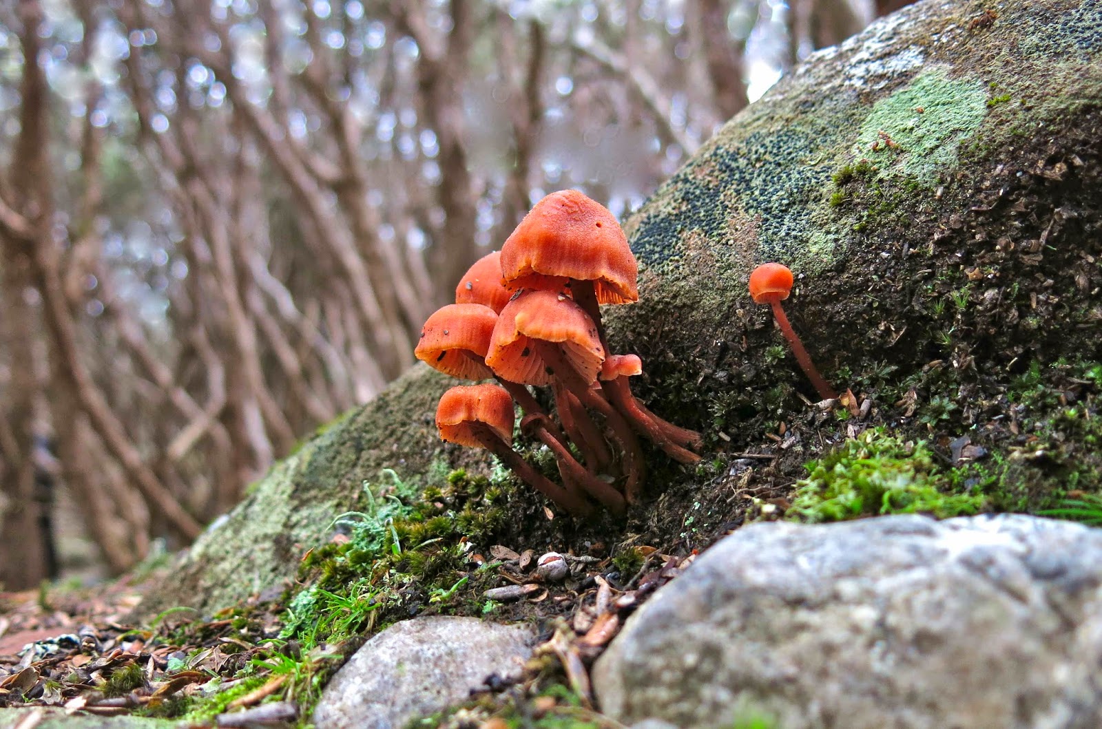
Laccaria sp near our tent

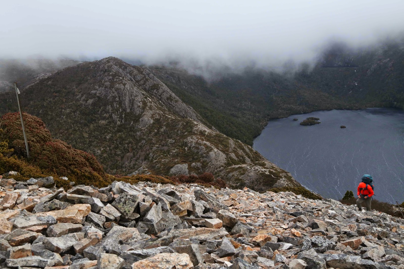
Even highly competent and experienced walkers find Emmett with a water film over the slime to be a challenge (see rockmonkey’s blog) but we nonetheless set out over the slippery rocks that presented a line rather than a flat plane as their uppermost surface. I hoped that if Bruce ran into trouble, it would be in the first hundred metres to enable an easy exit. He seemed to be coping as well as some of the others in the group, and as he often goes much better if I’m not there as a backstop, I went on ahead, having fun crabbing my way on all fours across the slippery obstacle course, whilst checking behind at regular intervals to make sure he was coming, though the thick mist meant that, at best, I could see people who could see people who could report that he was progressing steadily.

Deceptive Mt Emmett from the Cradle Cirque next day

There were no commanding views to be had in the fog that day, but the best view for me was that of my husband approaching the summit of what I thought was his most challenging mountain yet. Bravo B. It snowed lightly (sleet really) before we began our descent. The weather was so bad I had not even bothered to bring my camera to the top; I have plenty enough photos of people in a grey, obnubilating veil labelled as this or that peak. 

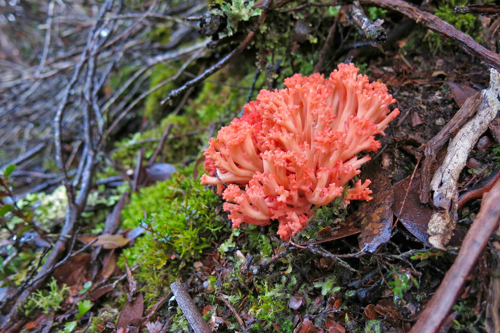
Ramaria ochraceosalmonicolor beside the track

The trip down was as careful as the ascent had been and we all got there uninjured, picked up the heavy packs that we’d deposited in the Cradle-Emmett saddle, and made our way further on to Waterfall Valley hut where we could attempt to dry out our sodden gear before the next day’s demanding adventure (see natureloverswalks.com/mt-inglis/).

Recondite Knob 2014 Mar

Recondite Knob Mar 2014.
My husband cleared himself from work for the day so I could have a(n early) birthday wish. I chose for us to spend the day climbing Recondite Knob. Web reports had it as being a very long day indeed, so this time I warned the dogs we’d be quite late. Probably because I’d taken that precaution, we were back in time for dinner, surprising them by being early for a change.
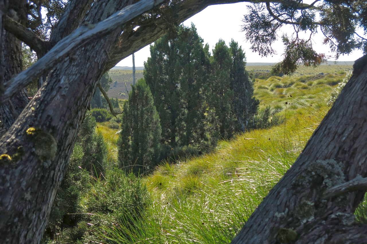
This reticent, elusive Knob sat there quietly, just a brown ellipse on the map, one of many nameless shapes, until Bill Wilkinson, editor of the Abels book, did his research and found that it satisfied the requirements to be what he called an Abel (inter alia, a peak over 1100 metres) and in 1994 presented a submission for his chosen name to the Nomenclature Board. He dubbed her Recondite because of her property of being something that only those with specialised knowledge would know about – a mountain for the cognoscenti. And indeed, only those in the know would be aware she existed or desire to go out that way to climb her. She is still unnamed on maps, and her paucity of visitors is indicated by the very few names in the log book at the start of the track. We were the second visitors for the year, and it is now pushing April. Even the wombats seemed surprised to find humans in their otherwise undisturbed territory.
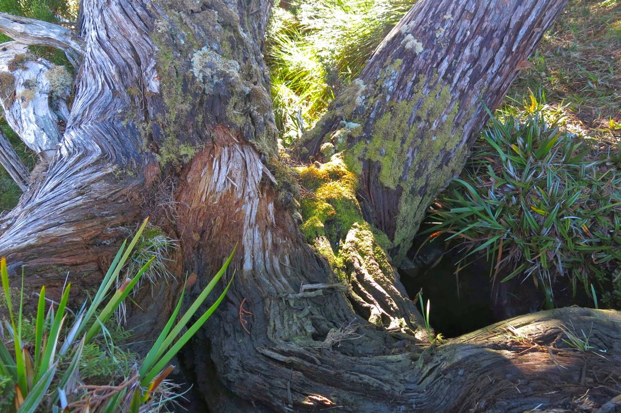
Drink spot.
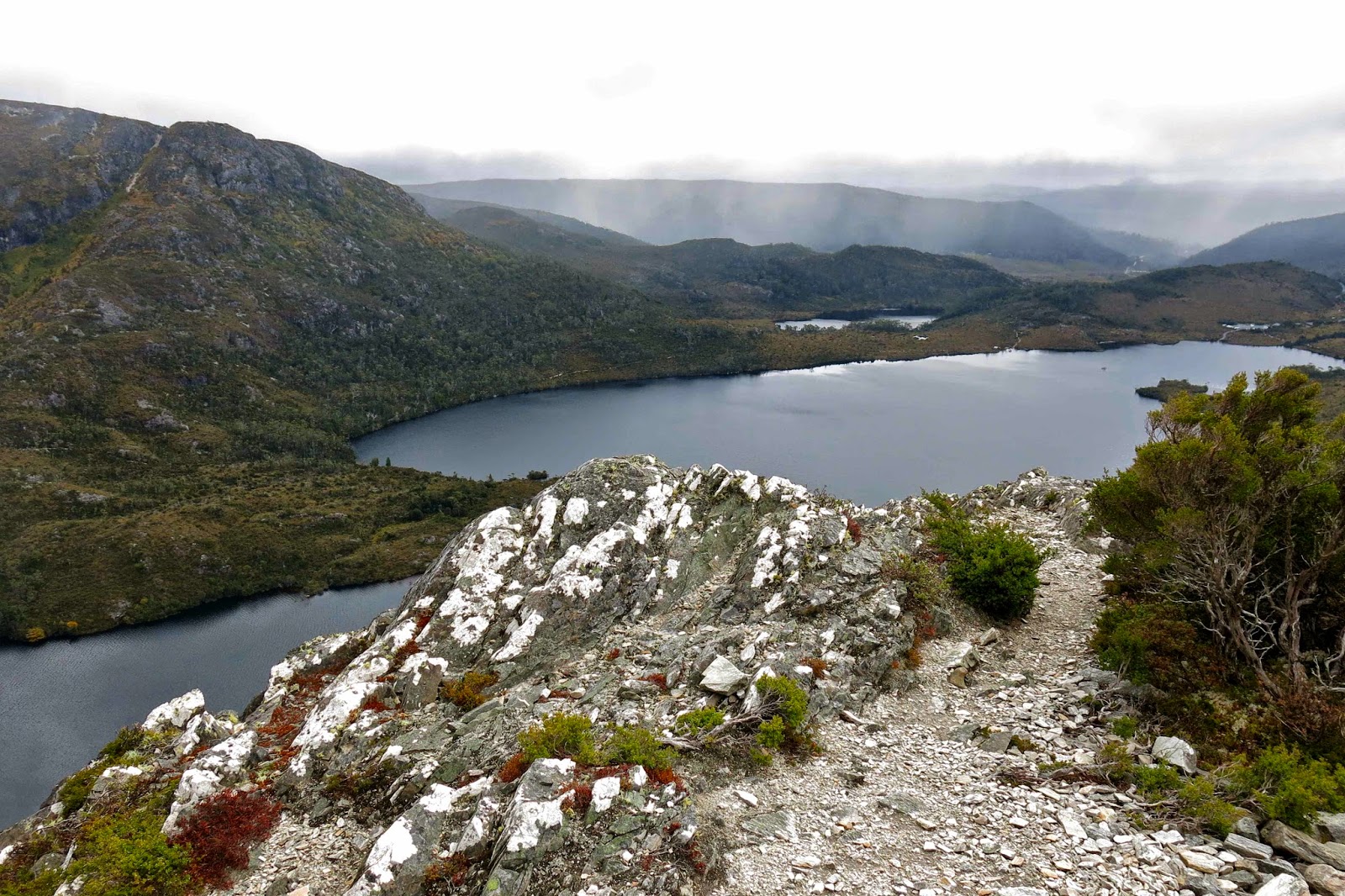
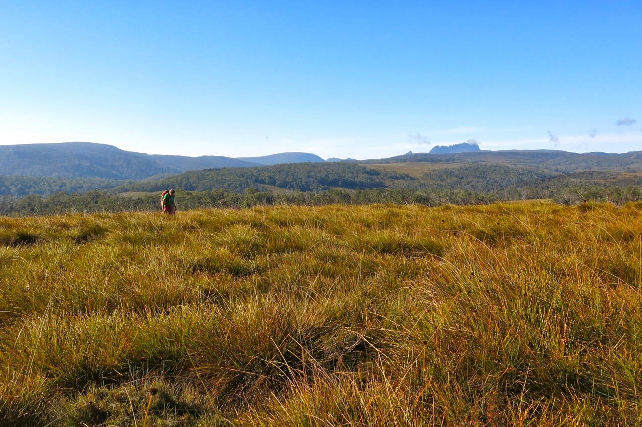
We delighted in the sense of space and room as we wandered freely along the broad ridge tops with their views to many mountains of the Cradle Valley, and in the totally different perspective of Cradle and Barn gained from this new angle. We could see as far as Pelion West to the south, to Murchison and Farrell more to the west, and to St Valentines Peak in a more northerly direction – and that’s despite its being a pretty murky day. Not a sound was to be heard. It felt like we were the only people on earth today, increasing the sense of wilderness.
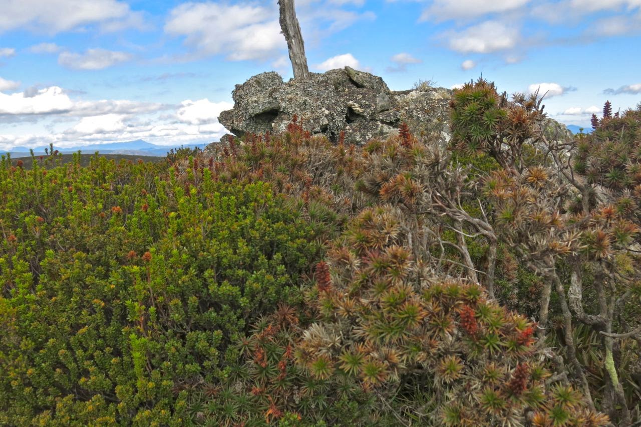
The summit – most appealing!
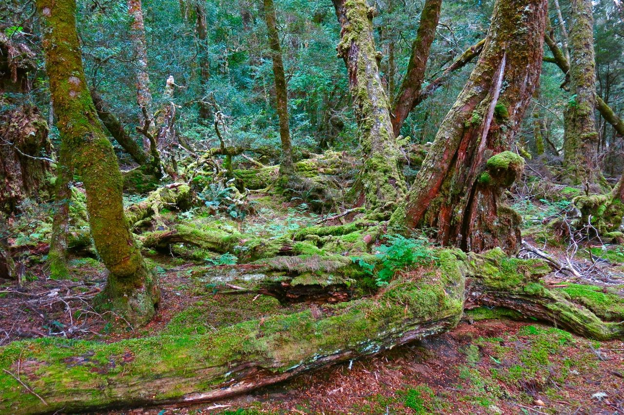
Our route began just out the back of Cradle Lodge where blue signs at the bottom of the dam point you to Speelers Track and Reynolds Falls (and more). At this stage you are on board walk, and are on the delightful King Billy Track which leads through an enchanted forest of ancient myrtles and King Billy Pines, with thick moss and lichen adorning the trees.
After a short distance (and after the narrow track crosses a small road, part of the lodge) the track we needed to follow hives off from the main King Billy track, and points still to Speelers Track, staying closer to the river than the King Billy one. It is the next sign that causes confusion among most bloggers (perhaps 10-12 minutes after leaving the lodge). One piece of information we read said to turn right here. The map agreed, but indicated we should turn left pretty quickly after that to connect with an E-W route. This route never appeared so we backtracked to the junction and this time noticed that three directions were possible, not just two as seemed the case at first. The middle one, which we took, was not represented on the map, but was going roughly where I wanted it to go, so we followed it. After 600 metres, it joined the E-W route that I had been trying for earlier. After this, it was plain sailing for the rest of the day.
I never tire of this forest.

We had to leave the magic forest, but climbed onto golden moorland with views described earlier and an exhilarating vastness. We wandered wild and free across the tops. 35 minutes after leaving the lodge, this track intersected very clearly with a N-S old mining exploration route, clearly visible on map and ground. Walking along this was very easy, but after 7 minutes, it dumped us into the button grass, after which we had to fend for ourselves for many kilometres.

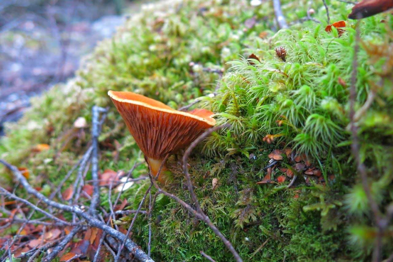
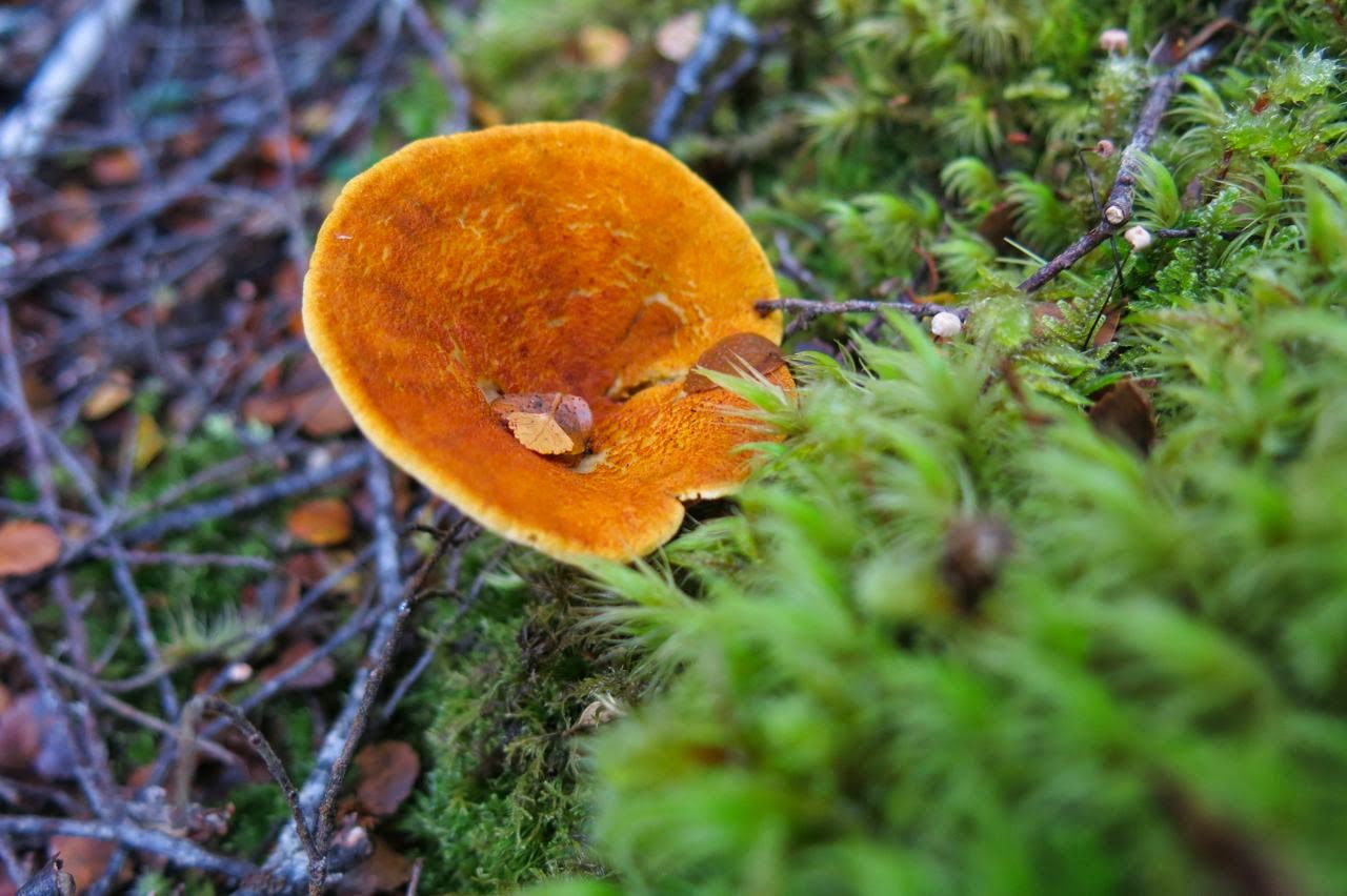
An obliging fungus colours the forest (Austropaxillus muelleri)
My husband doesn’t cope very well with button grass bogs, so I made no attempt to follow the remains of the route and chose instead a path that minimised button grass mounds and ditches and maximised lines of pineapple grass and low coral vegetation. After nearly an hour from the lodge, I headed us down to a flowing creek with pencil pine grove, perfect place for a drink of cool mountain water and a muesli bar (where my blue path intersects with the creek).
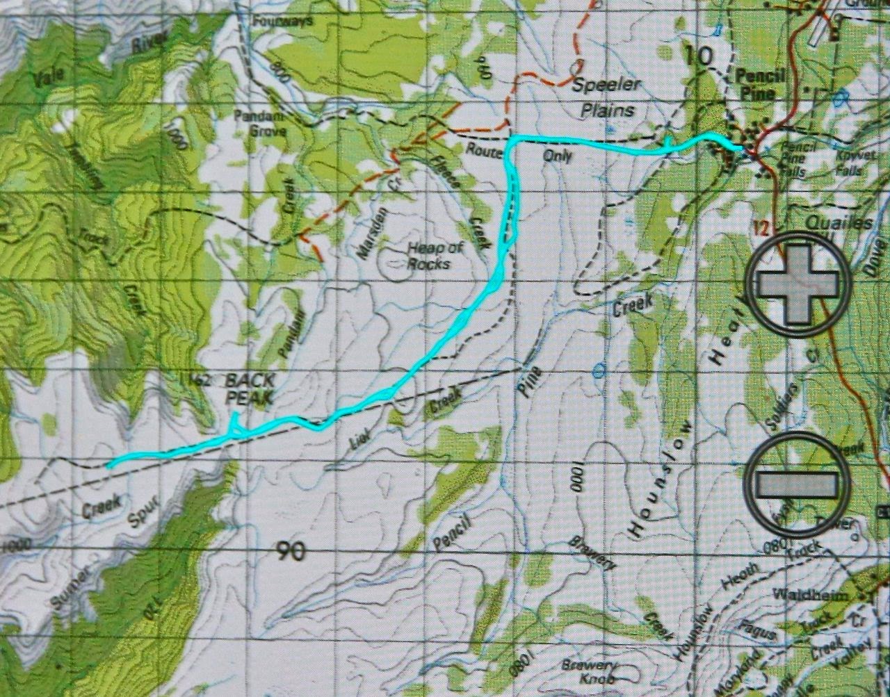
 

The next kilometre was the slowest, as my husband struggled with the combination of gaining height and long, flourishing button grass with deep, hidden channels beneath. (He has Parkinson’s disease, so these conditions are particularly bad for him). After we passed the one contour knob to the left of our line, things picked up for him, as the vegetation changed, and meanwhile the old route reappeared. It was especially easy travelling once we’d climbed around the base of Back Peak. 2 hrs 30 walking time after leaving the lodge we were on the summit and eating our lunch, enjoying the plentiful mountains in our vista, even if the view was grey, hazy and unclear, with flat lighting.
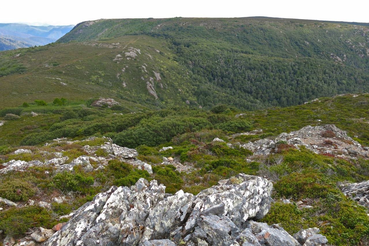
Looking towards Recondite from Back Peak, but what you see here is not quite Recondite – it’s hiding behind this lump. You go up what you can see here, and then down and then up again and you’re there.
I was a bit worried about the weather, and the fact that the return journey would perhaps take longer, both due to my husband’s fatigue and the fact that I wanted to go up Back Peak. I hurried us away from this spot, promising my husband a rest while I climbed the peak. It was a fun little climb, but took me only a few minutes in each direction, so the promised rest was rather short. I called out from the top to make contact, and woke the poor guy up.
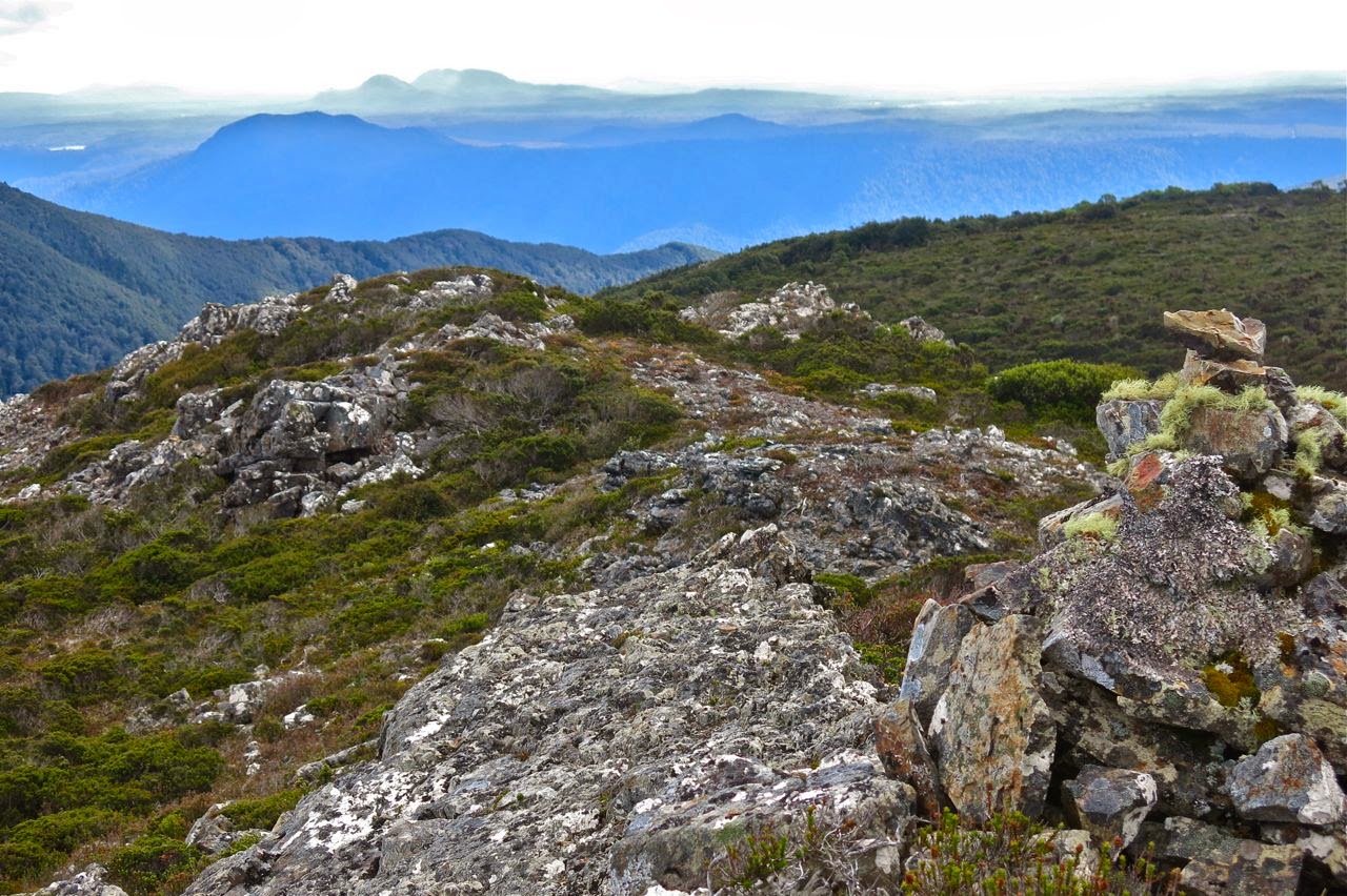
Summit cairn, Back Peak
Nonetheless, he went really well on the downhill journey, only faltering when we had a few rises to do. The good progress meant we could relax a bit more at the lovely drinking spot of the way out and just sit back in the grass, drink, snack on treats and listen to the sounds of nature, admiring little things like the lichen on the pines and the different shades of green.
 
Austropaxillus muelleri
What a perfect ending to that walk the last bit of forest is with its cool, refreshing, intense greenness. I even found some wonderful fungi to thrill me. And then it was off to ETC for a delicious afternoon tea, and home to Launceston to surprise the dogs with unusual punctuality for dinner.
(Warning, if you are planning to do this mountain, consult the Abels book and google the other bloggers who report on this peak to get an overall view of times. I was in a fast mood, part of my own expression of freedom and independence, and my times are probably not what you would fancy for yourself. They suggest one of many possibilities.)