Mt Othrys Mar 2016
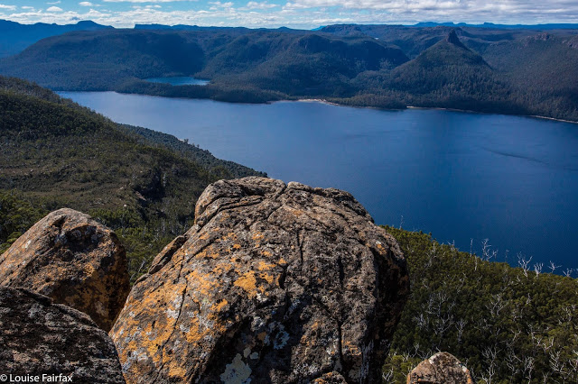
Leeawuleena spread out before us
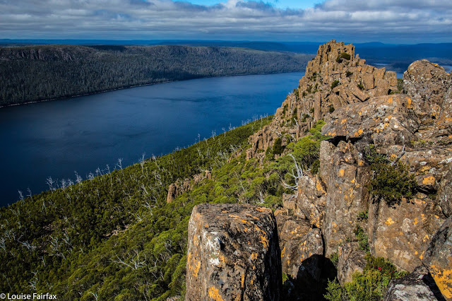
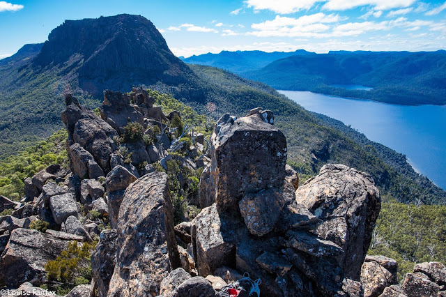
Mt Othrys has one of my favourite summits. Leeawuleena (Isn’t that the prettiest name imaginable? It is the Aboriginal moniker for what white people labelled Lake St Clair, and means Sleeping Water) sparkles below, and the broken dolerite pillars jut and thrust their way in odd but attractive directions, making for a jagged and interesting framing of the scene and a dragon-spine skyline.
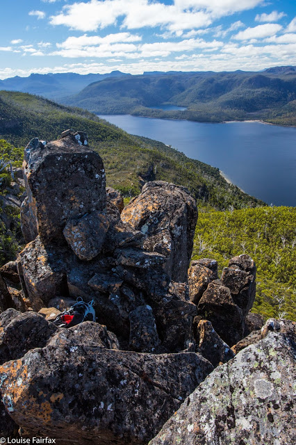
Blue and green should always be seen
I could have spent an hour up there, or more, but will have to do that next time. On this occasion, we were in a hurry. Angela had been on call, so we could only begin our exploits at 11 a.m., and she needed us to keep to the book’s estimated 7 hours for the climb. That sounds like plenty of time for a 25 km equivalent exercise, and it was – just – but only by keeping up a pretty smart pace throughout the day, and allocating a mere 25 minutes for lunch and photographs at the top, for, you see, this beauty is rather inhospitable to visitors, and the mountain has grown a rather nasty patch of protection to prevent all but the most handsome of princes from entering. We are neither handsome nor princes, but did manage to find a way through. Othrys has a bad reputation amongst bush gossipers, and for quite a good reason.
We lost a bit of time on the way there trying to find the track amongst the button grass plains, but as we figured this was faster than making our own way, persisted in searching for it. We left the pad at a rock with a cairn on top, which fell a bit short of my intended point where the summit-to-path projected line intersected perpendicularly with the path. To put us back on the route I wanted, we headed for a waypoint I had made on this imaginary line, and found an excellent route through the melaleuca scrub hugging the creek at this point. Our route through the forest for at least half the journey was also relatively easy, much better than reputation has it. However, in the upper reaches we struck a band of young, dense melaleucas that left me exhausted by the time they’d finished their sport with me, but we did win through, and from that point, headed straight up rocks for the summit, which was reached without much difficulty.
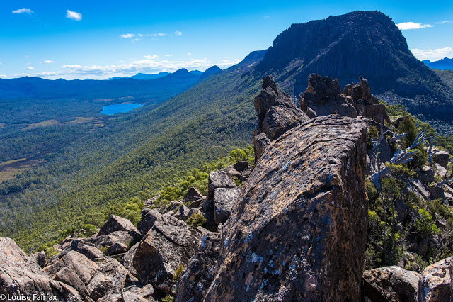
Different view of Olympus
On the descent, we were able to stay on the rocky nose for longer, it now being visible from above, and had a trip down that was an hour faster than the ascent of four hours.
Summit dragon spine
Unfortunately I cannot give you my normal jpeg version of the screen image of our route, as about 200ms from the top I checked the gps to see how we were going, and undid “screen lock” and then bumped something (I know not what), with the result that my machine stopped recording, not only for the route up, but also refused to cooperate on the way down. It wouldn’t even show me my gps position. This morning it seems in better health, so I have no idea what I did, but there is no track for the remainder of our climb, or for our good descent route, alas.
Should this interest you: The mountain offers a fascinating angle on Mt Olympus and the shapely Mt Ida is directly opposite. In the distance lie many other mountain friends from this much-loved region, while directly below to the other side, the Cuvier Valley spreads out for display, with Lake Petrarch adding more blue sparkle to the scene. Particularly interesting for Angela and me, as we had climbed there only a week before, was a new perspective on Hugel and Little Hugel, with the Cheyne Range clearly visible behind. So many loved places visible at once; it was grand.

