Mt Stormont, Apr 2014

Like so many mountains I end up climbing, I had never heard of this one until I saw it on the peak baggers’ guide. A friend told me that a group she belongs to was going to climb it, and that it normally had access difficulties, being situated on private land. This seemed like an excellent opportunity to have someone else make phone calls and arrangements on my behalf, so we signed up. The land owner was most obliging and welcoming, and we were soon parking the cars in squelching mud up to the top of my boots, and then ‘swimming’ through the red ooze to the forest which was fortunately only across the road and down a bit.
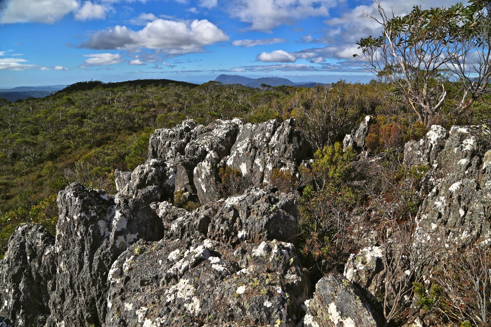
 View from ‘fake summit 2
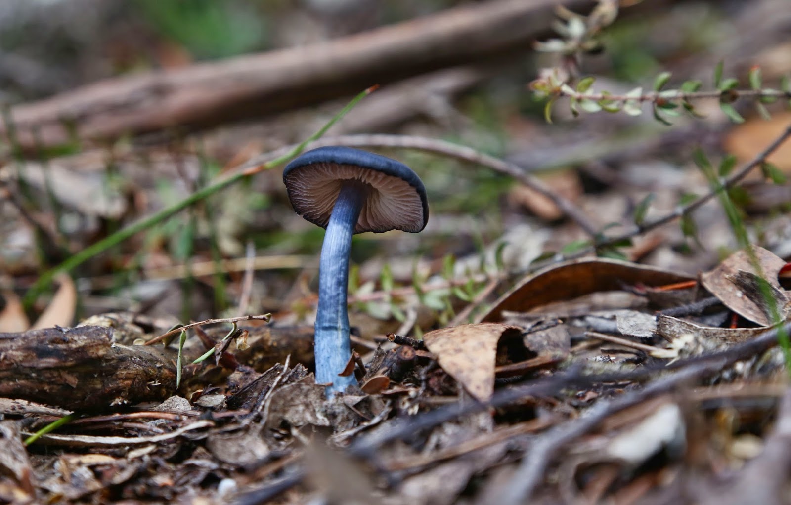
The forest that begins the walk is the wonderful, lush rainforest that I love so much, and I shouldn’t be surprised by the fact that I saw at least eight different fungi genera in the first two minutes. I longed to photograph the delicate colourful forms, but didn’t want to hold people up, so said hurried greetings in passing and strode on. Mt Stormont is 1007 ms high, and my gps says we begin at 450 ms asl, so I guess we climbed a bit, but I can’t say I noticed, as I was mostly intent on trying to spot more fungi. The forest dried out as we climbed, but then we approached the best part of the ascent – a “dragon’s spine” section, which was more knife-edged than the famous Striding Edge of England. I was proud of my Parkinson’s-affected husband negotiating it with aplomb. It was fun.
Unfortunately, I dropped my lens hood whilst photographing, and watched it roll about 20 metres down the almost vertical cliff-face to an invisible place below. That seems most unfortunate given the expense of such items, but in fact the story ends happily in that two of us came back after lunch and the summits, faster, on a route that could enable finding it, and, as part of the search I got to re-climb the dragon spine from a new angle to indicate to my friend below exactly where the fall had taken place. The permissible speed and the fun of the hunt were the best part of the day for me. The fact that our search met with success was a bonus.
Stormont has two summits: a real one at 1007 ms, where one can find, if one searches, the scabs of an old trig marker (sawn off iron at ground level, and the remains of concrete), and a false one at 1005 ms, over 500 ms away, where there is a beautiful old cairn – an historic relic presumably built by early explorer Henry Hellyer, who also erected the nearby cairn on the Black Bluff Range. That cairn is recognised as the oldest intact piece of evidence of European colonisation in the western half of Tasmania.
The Monument Australia website says that at the time of building (1831), the half of Tasmania west of the meridian that passes through Port Sorell was uninhabited by Europeans except for small settlements. (Those doomed to live in crowded cities would probably say that that is still the case, but I merely report what was said). I must say that if you are only chasing a peak-bagging point, and stop at the first, real summit, then you will be missing the better of the two views. I took no photos at the first one, but five or six at the second. Does that not say it all?
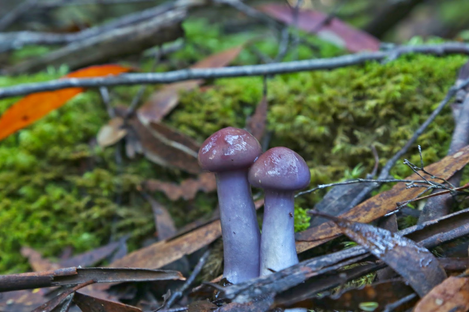
 laccaria sp
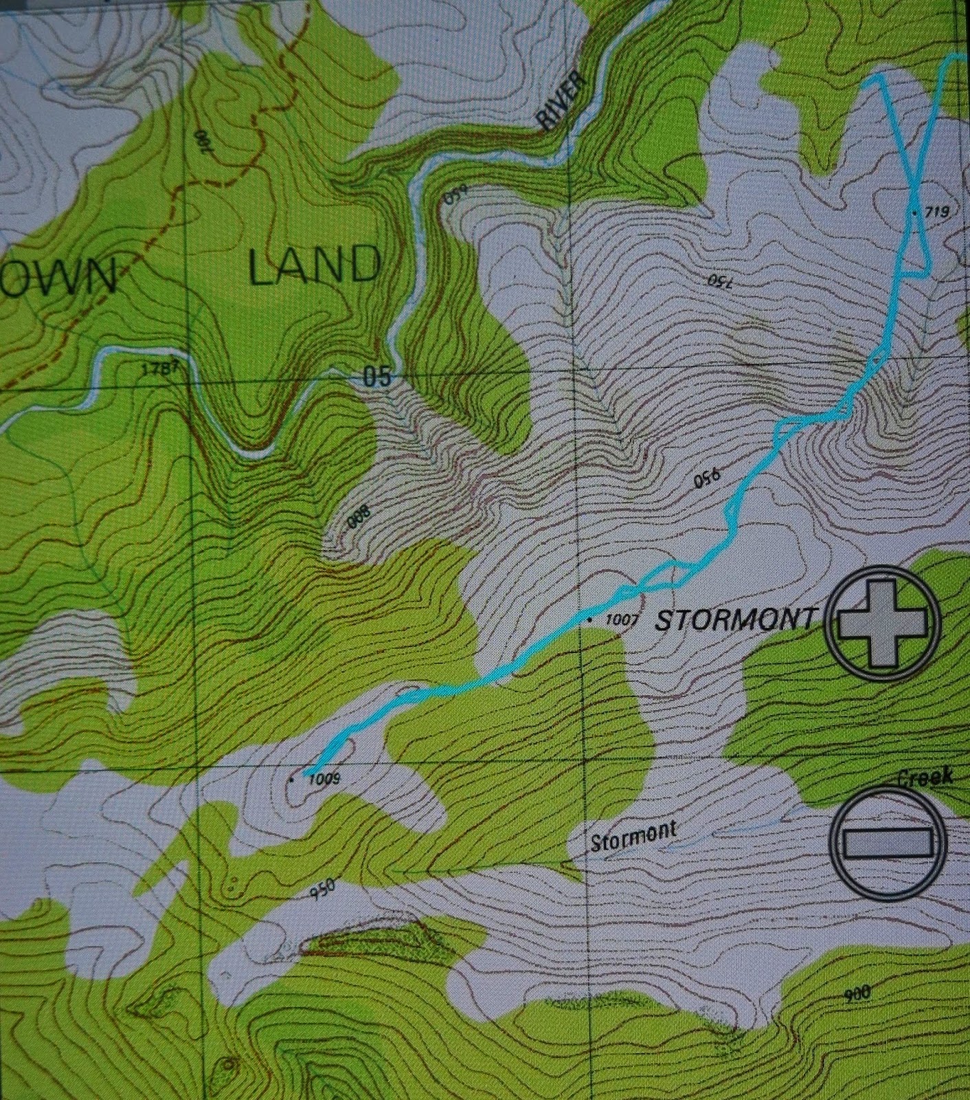
And my fungi were there at the end waiting for me. Below is a gps reading of our route.