
Mt Littlechild revisited May 2016.
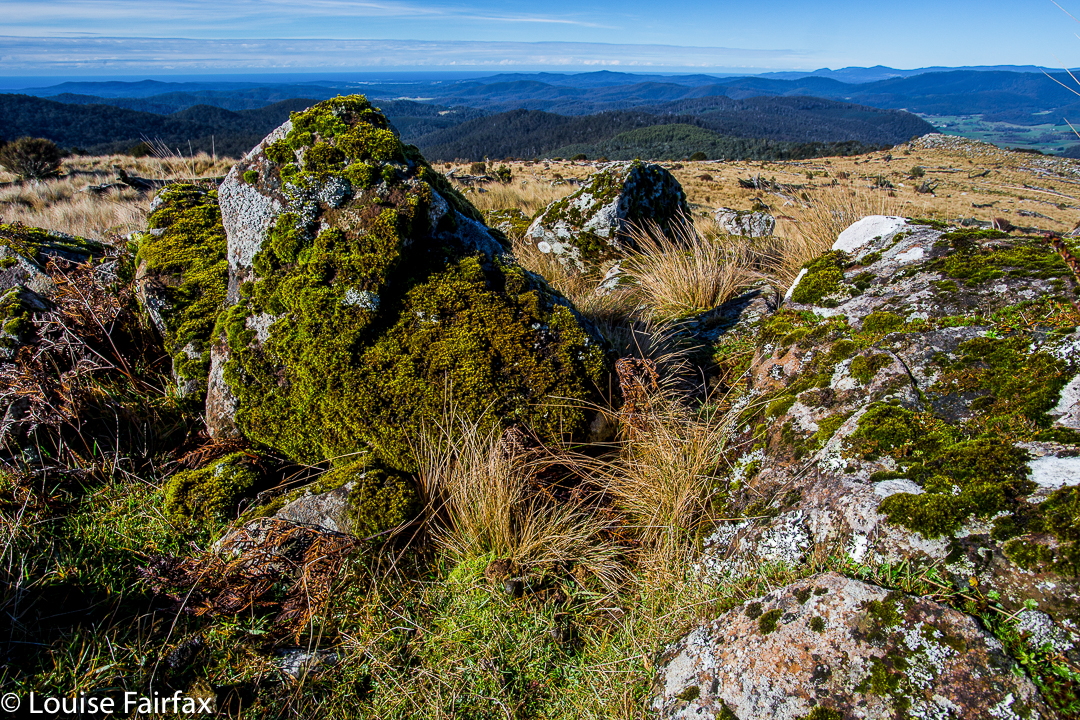
Handley Peak, en route (this is Mt Littlechild on the map – or, on the map I was using)
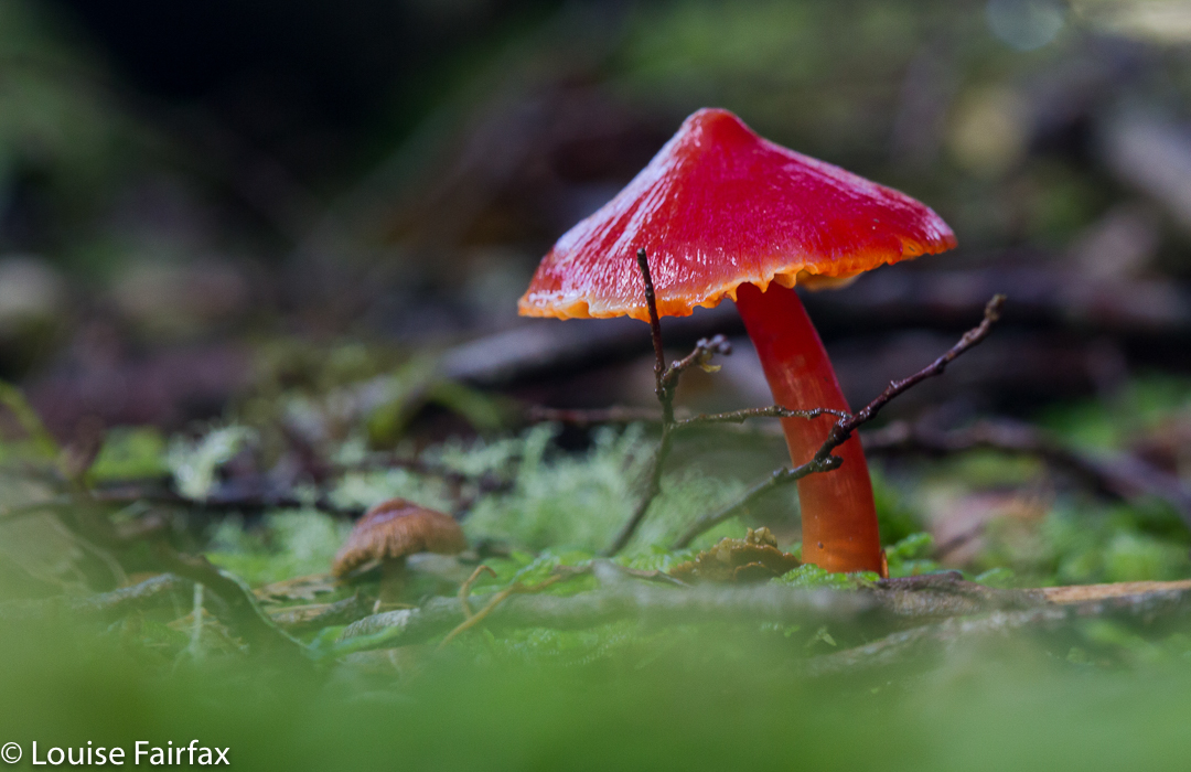
Hygrocybe saltorivula
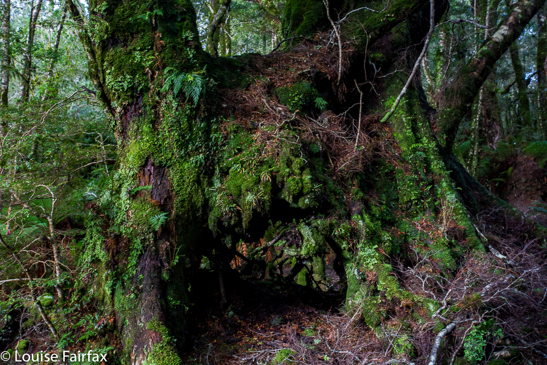
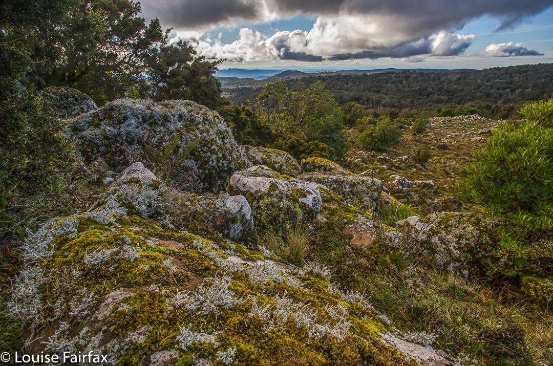
Because so many people insisted that the black dot called Mt Littlechild on the map was not the “real” Mt Littlechild in some other essential manner, on this weekend, I led a group to go and visit the black dot, which, whatever its name might be, is the highest point on the Blue Tier. And a rather insignificant high point it is too. Even when there, with gps devices in abundance, we could not agree on the location of the summit, so purists (me included) dashed about the place, touching all suspect-rocks that might be a smidgeon higher than their friends and the true black dot. Everyone was happy at the end of the day that they’d had an encounter with this important dark smudge on the map. The ground was pretty level up there, and views were not on offer. Gorgeous fungi were a-plenty, and the highlight for me. We’d definitely had a lovely bushwalk in this wonderful area of Tasmania worth saving from destruction at the hands of chainsaws and myopic politicians.
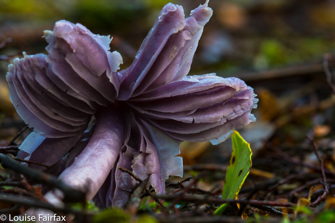
Hygrocybe lewellinae
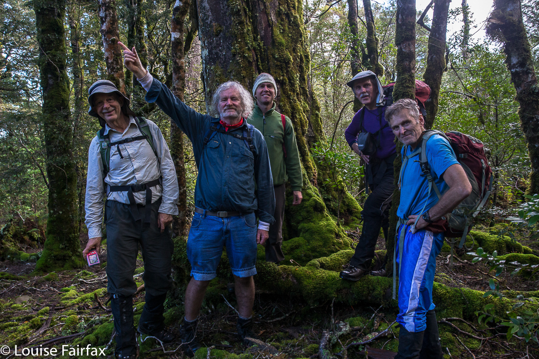
Happy troupers on one of the many black dot contenders (but not the most-favoured one).
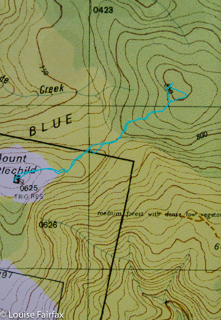
For the route from the car to the peak here labelled Mt Littlechild (HandleyPeak in disguise, apparently) see natureloverswalks.com/blue-tier/