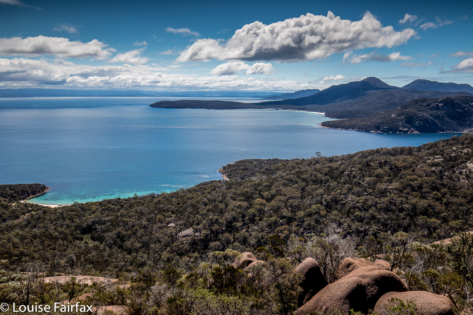
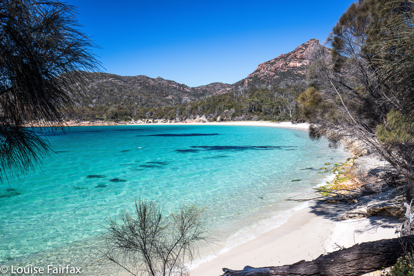
View of Bear Hill from the water’s edge.
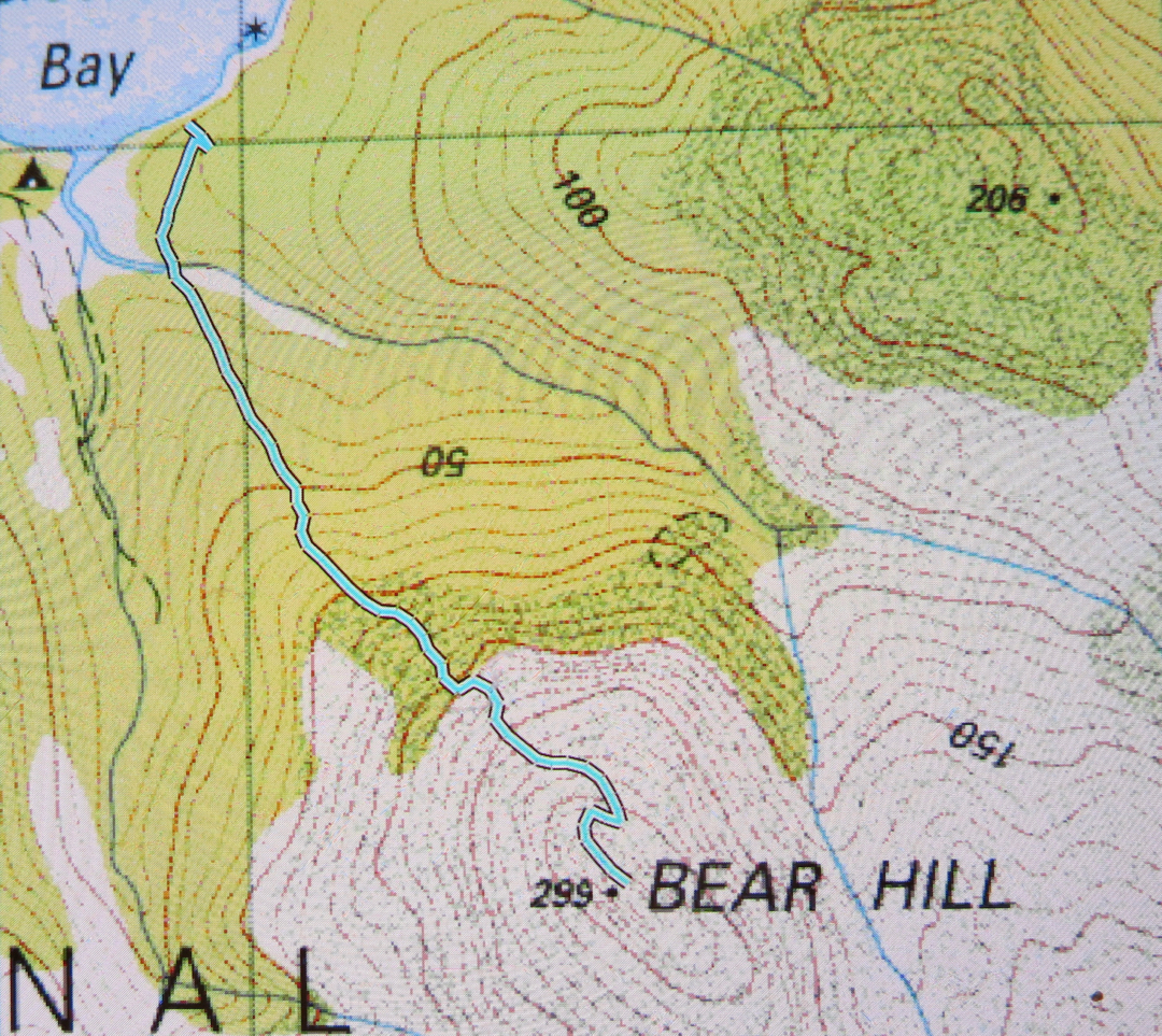
Schouten Island has at least three peaks worth climbing, two of which are worth points. Poor Bear Hill is worth no points, but is probably the nicest climb of all, being quick and easy, and with an excellent view. It’s so quick and easy, I did it twice: once on the day we arrived, and once before breakfast for a dawn shoot the following day. My stats confirm it was 28 minutes to the top – and that’s with lugging 3kgs of camera gear. In other words, it’s easy to do for a dawn or dusk shoot and not have to deal with too much darkness.
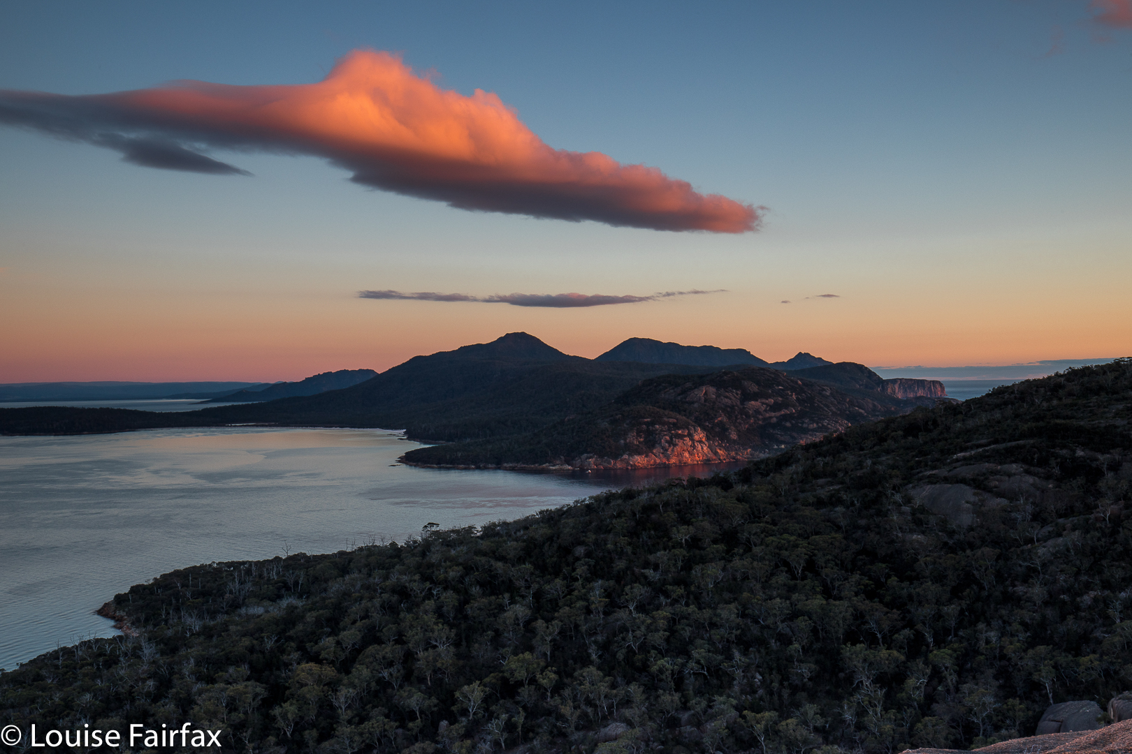
Early morning view.
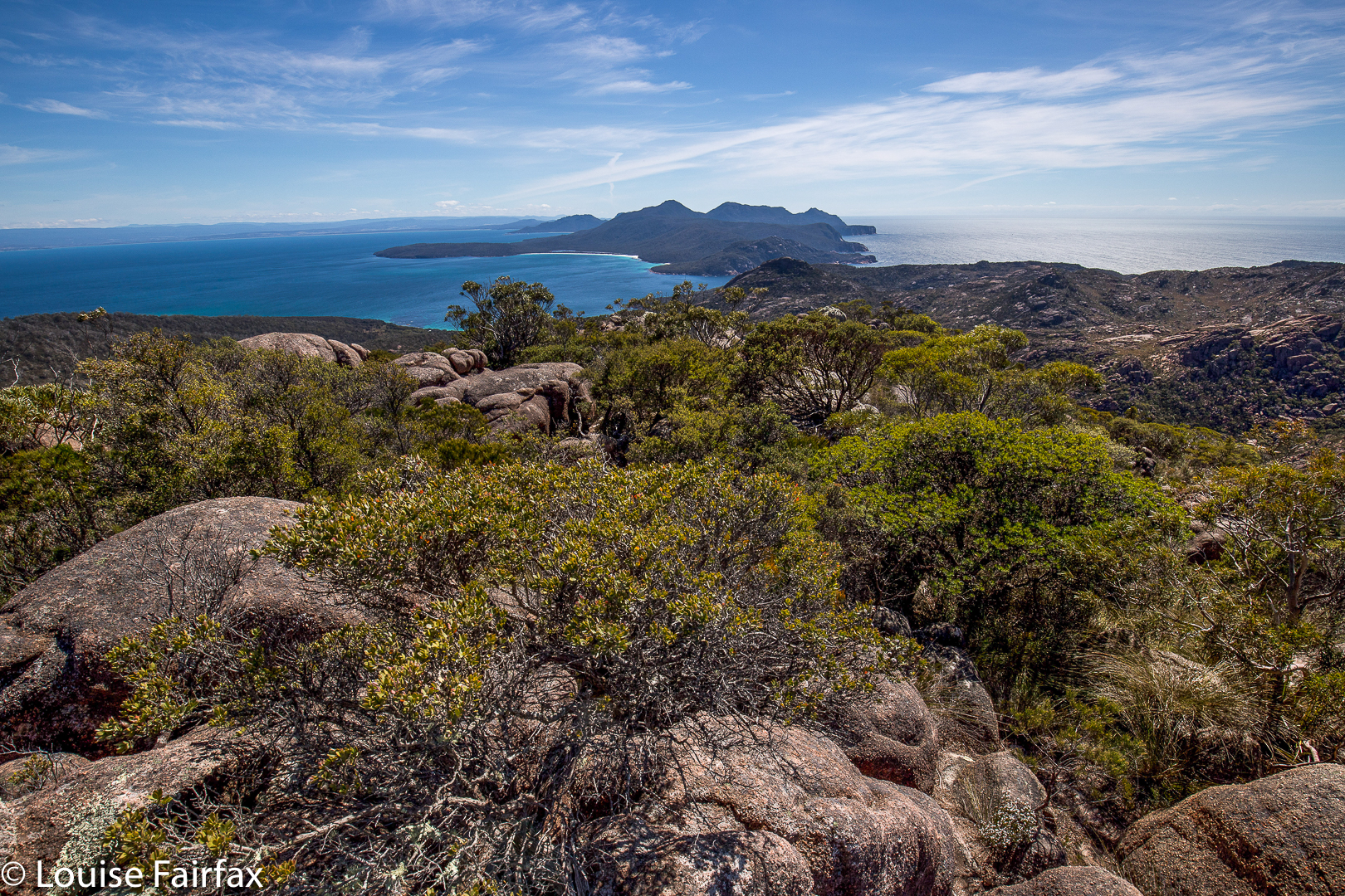
I particularly liked the fact that Bear Hill was not too far from the mainland peninsula, so the mountains of Freycinet National Park looked appealing from up there. Meanwhile, you could look down on the beach where the tent was, and the beach on which we landed. The little world of the island was laid out before me. Because I felt like having a workout, and the others wanted to enjoy themselves, going at a more leisurely pace, I did this one solo, which gave me this little world to myself. Funnily, no one else (of three) had wanted to get up in the dark and do a dash for the top to see dawn from on high with me. I went alone. Penguins called to me as I left my tent.
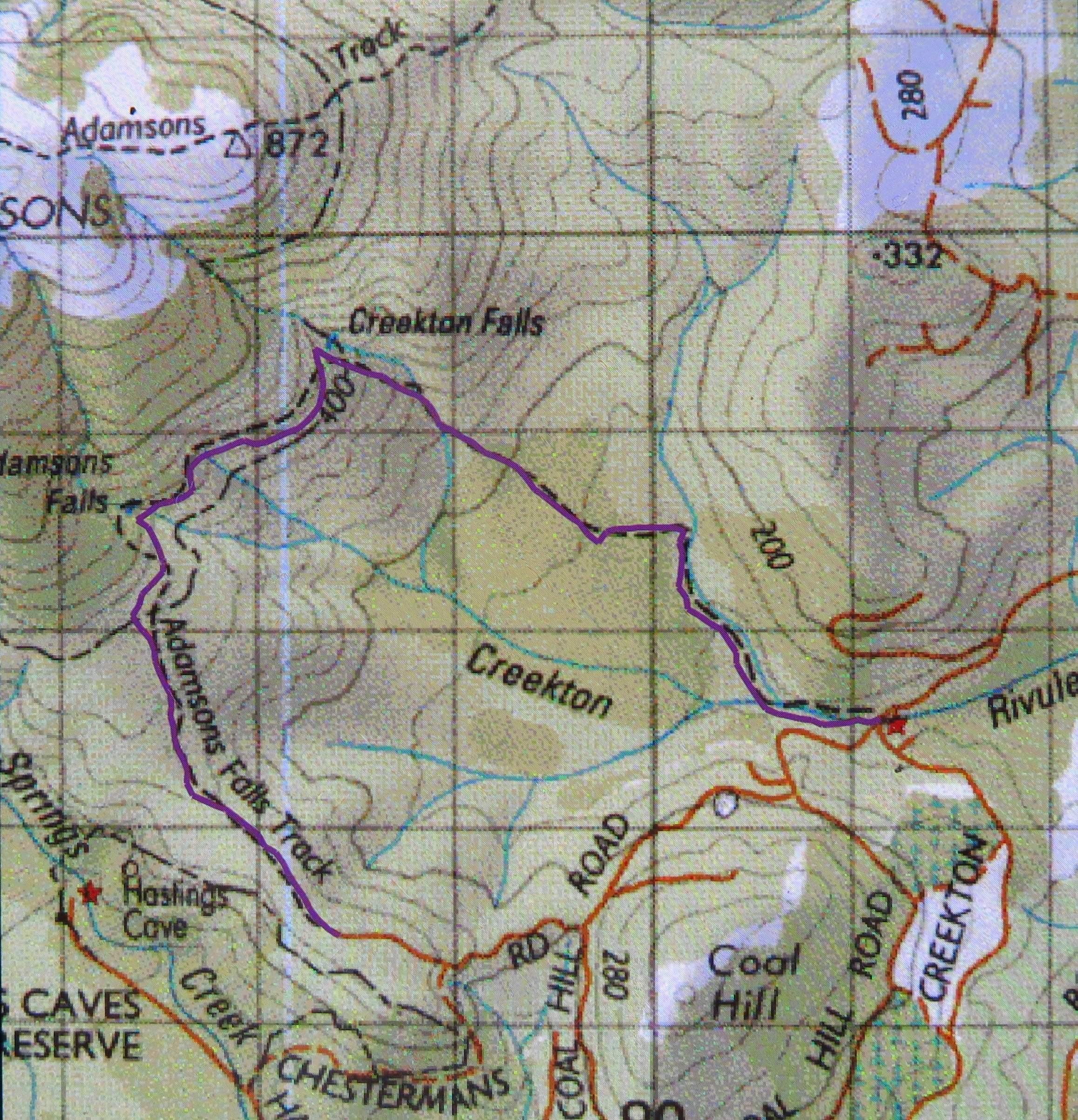
I needed a trip to Adamsons Falls as a diversion after four days’ intensive hunting for my lost husband in the nearby Creekton Falls area. Under superlative police leadership, we had searched all places logical and illogical, rational and irrational, possible and impossible, and had drawn a blank. Now, I needed a workout to soothe my soul, to distract my emotions and cleanse me in a way that only a workout can do. Some people turn to drink in a similar situation; others to drugs. I ‘just’ need to go for a run or a fast walk – preferably in the wilderness. I announced my plan.
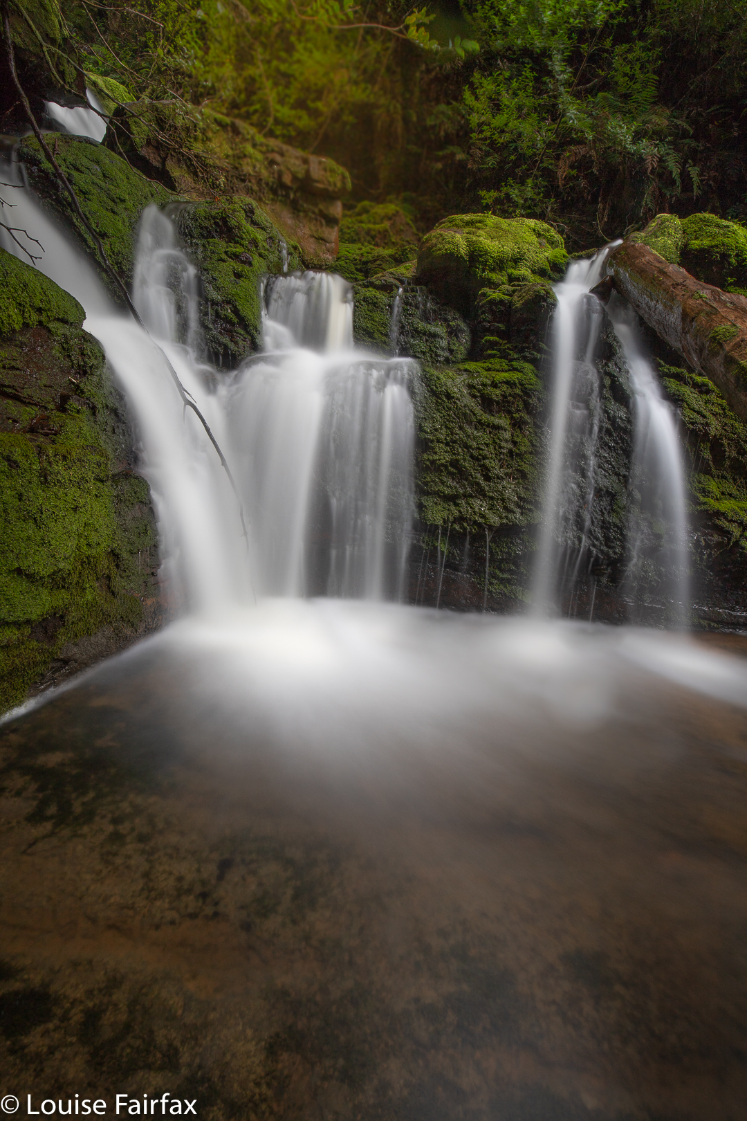
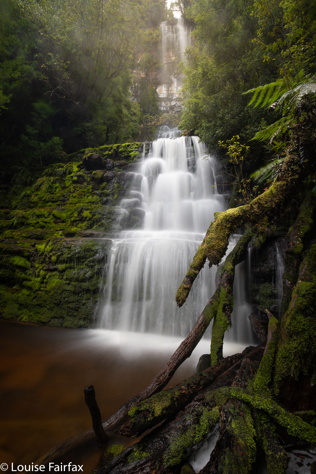
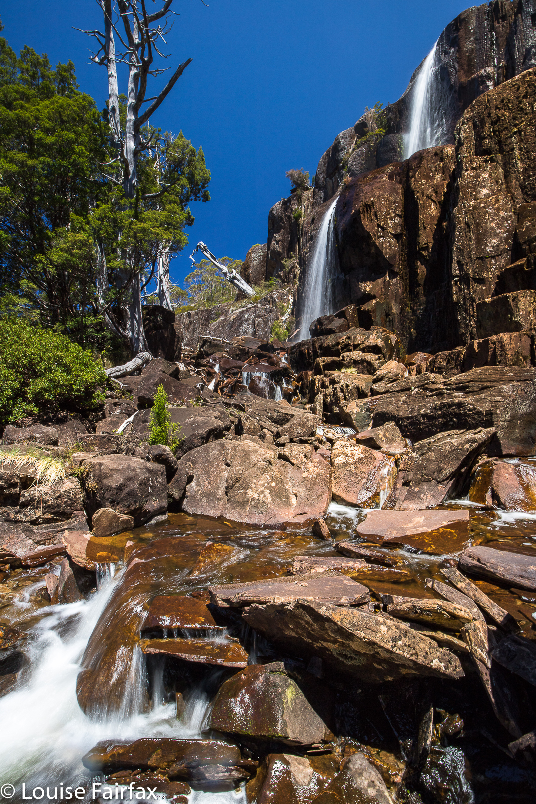
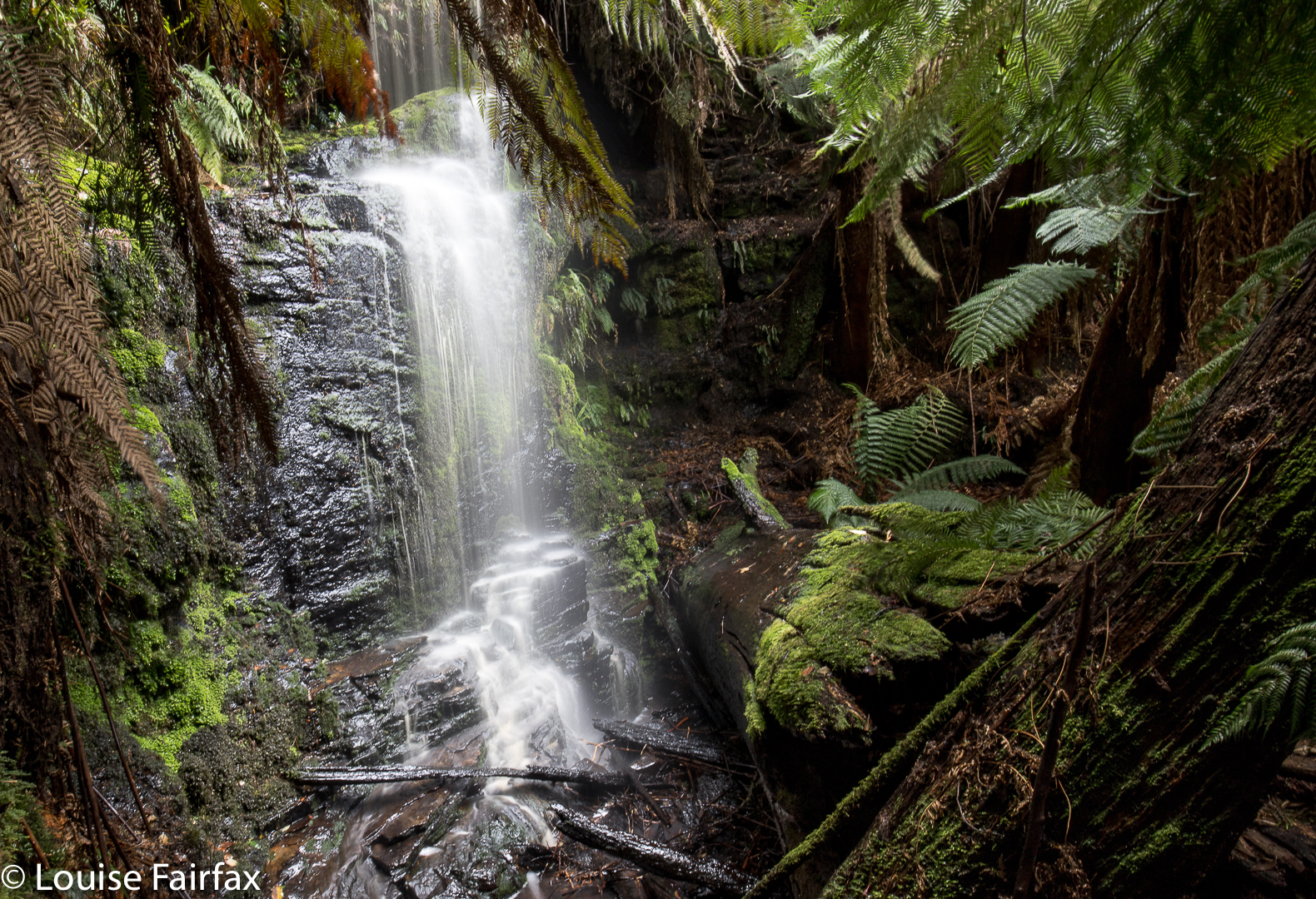
Adamsons Falls Tier 3
Aidan, a friend and former student, wanted to come too. We used to train together, so I knew his general pace, and said ‘sure’. A policeman wanted to come, and I rudely warned him that I was not in the mood for loitering today. The others teased him a bit, but he said he was fine. Another person (whom I didn’t know) wanted to come, but I drew the line there. It seemed very impolite, but I really didn’t feel like having someone who might hold me up, and I wanted – and needed – the group to be “cosy”, containing only people who understood me and what I was going through at this time.
We arrived at the start, and off I set, happy to find myself alone after not too many minutes. I needed solitude. Had there been just one person with me, I would have felt obliged to be courteous and wait, but the two guys had each other, so I could move quickly, and enter a trance world, oblivious to almost everything other than a sense of surrounding beauty.
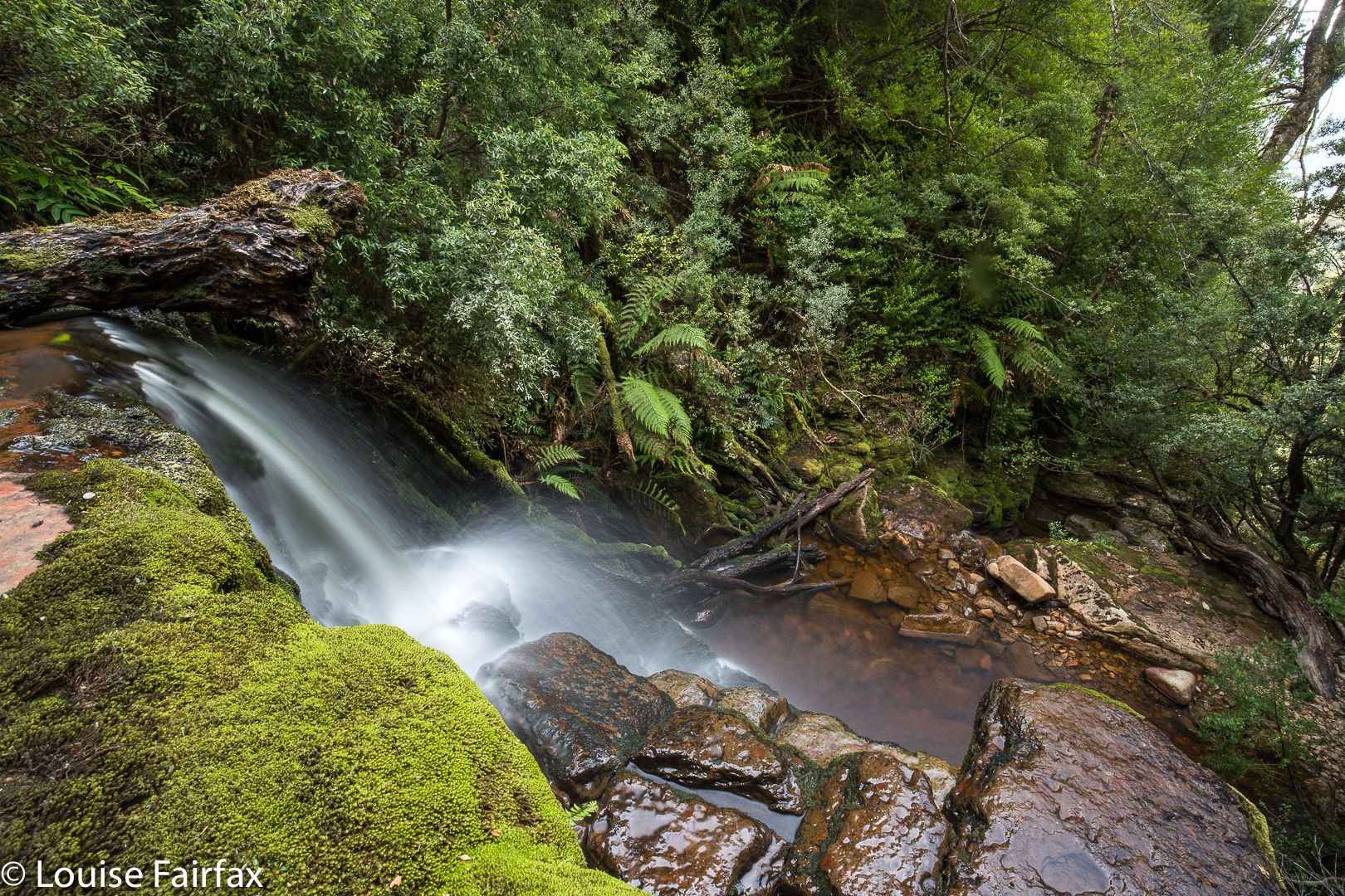
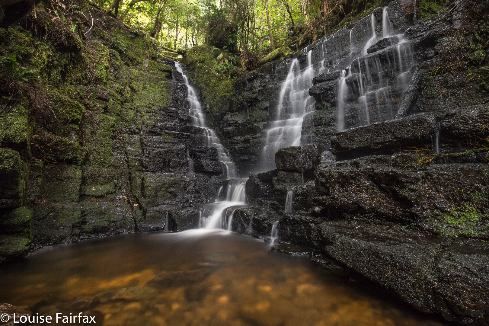
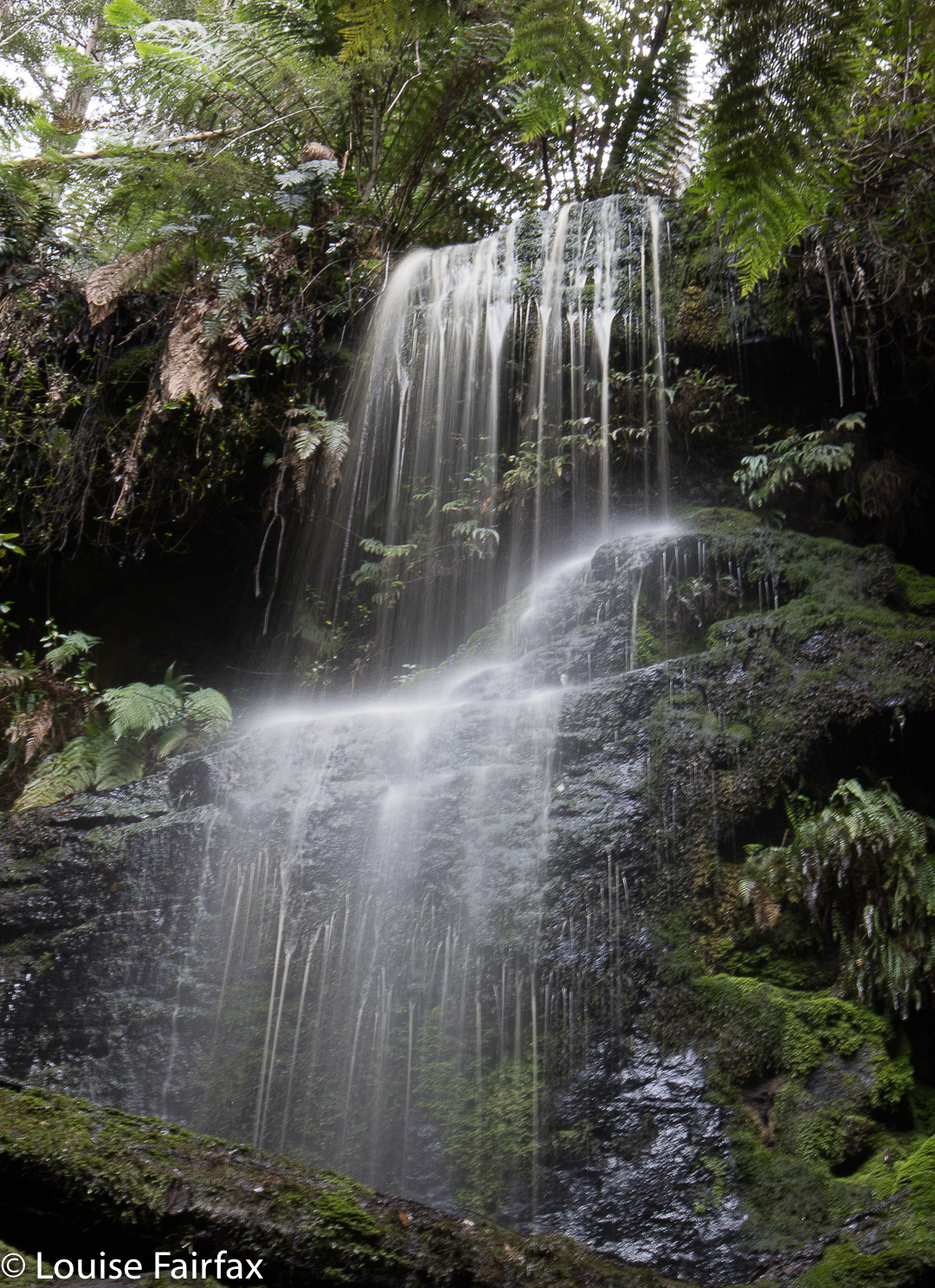
Adamsons Falls Tier 2
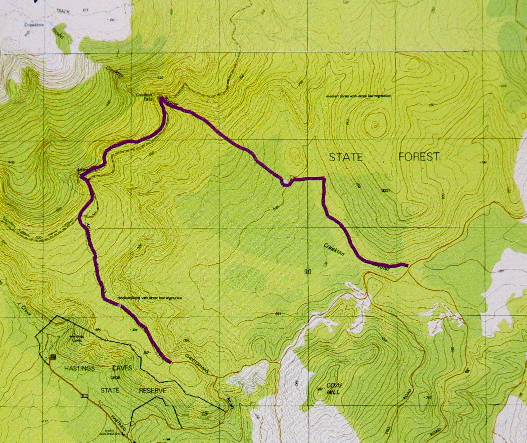
In thirty eight minutes, I reached Adamsons Falls, and could photograph away while waiting for the other two. I set up my tripod and shot and sang. Some people have their spiritual moments in a dark building made with human hands; I have mine in nature. This was a religious excursion as much as anything. When the guys arrived, they wanted to rest and eat a bit. I was soothed by now, having had my little lash out, so we chatted and ate and enjoyed these falls, which are very beautiful, even if they can’t match Creekton.
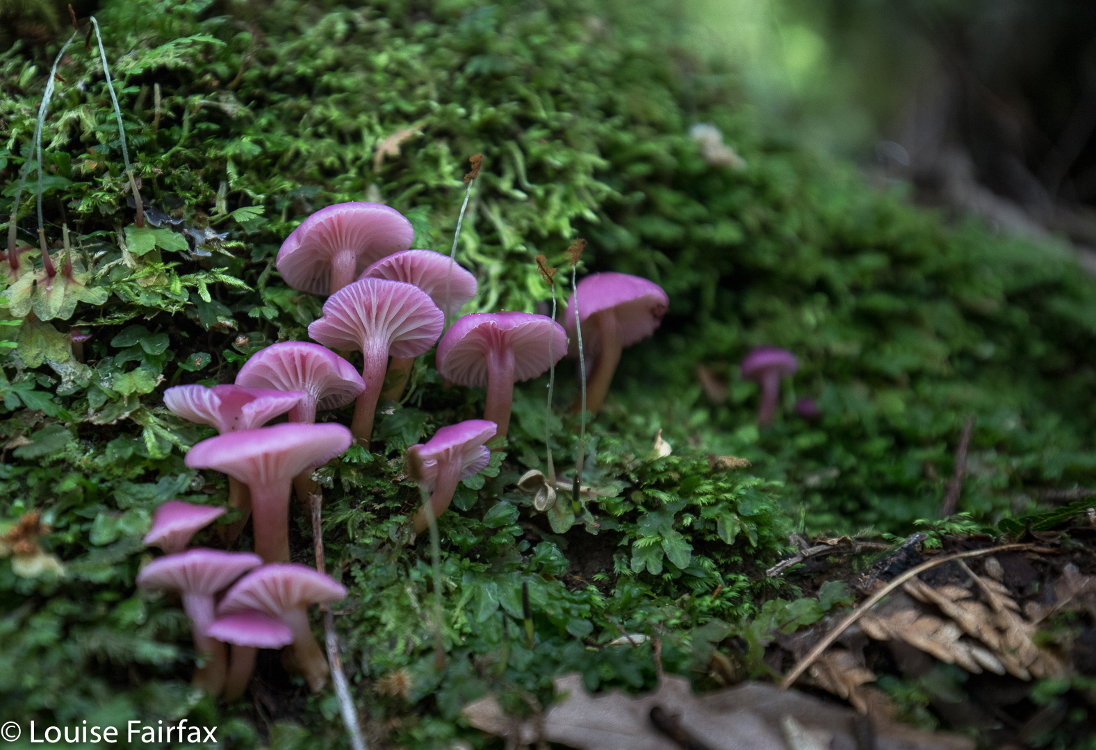
Hygrocybe roseoflavida
The next section was fun: an indistinct, taped pad through beautiful forest, with enough obstacles to make it interesting and turn it away from being a march. I have heard other photographers describe this as rough and difficult. Listen to them and not to me. I’m a bushwalker, used to bushbashing, so this felt easy in comparison. The three of us stayed together in this section, chatting away while we went, keeping an eye out for any signs of my husband whilst doing so, not that any of us believed he would have come this far or in this direction. You have to check every possibility when you’ve drawn a blank. This took us fifty five minutes.
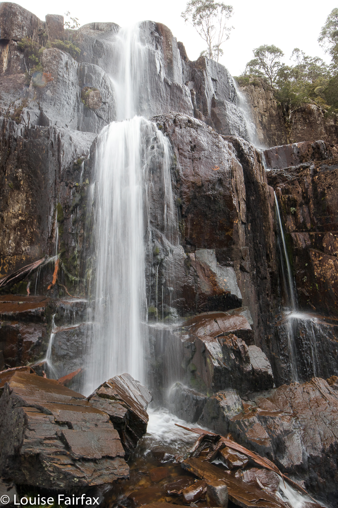
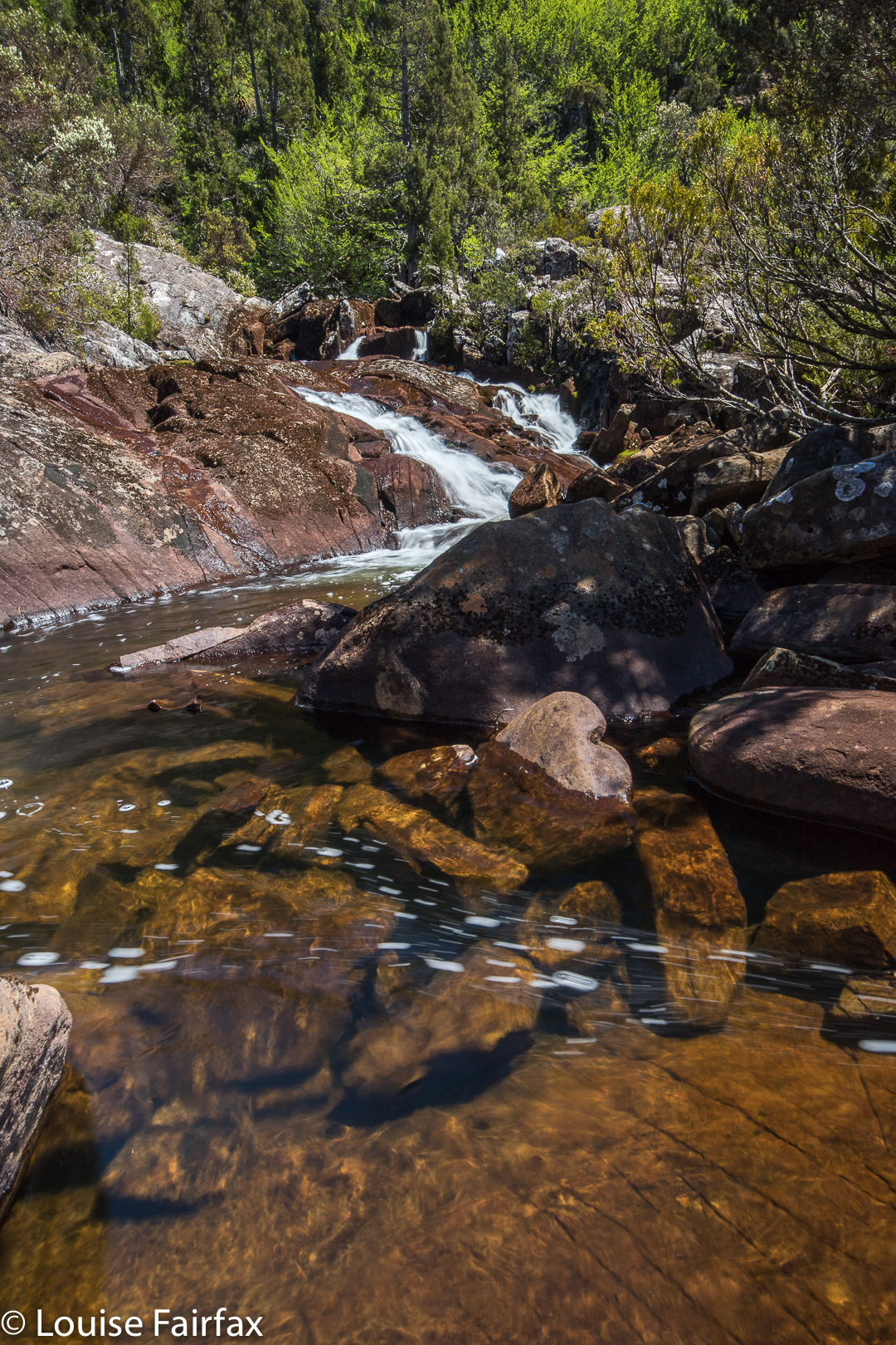
Now we had reached Creekton Falls, which the other two hadn’t yet seen, so I sent them up to look at the main falls while I photographed a cascade nearer to the junction that I hadn’t shot on day one.
Back at the Creekton Rivulet, below Creekton Falls
Once more, we had fun talking and eating before setting out on the final downhill stretch leading back to the cars. This part took fifty two minutes. The other two dropped behind me, so once more I enjoyed having a faster pace and with singing. Music always soothes my soul. I sang to Bruce in all the early searching, when I was alone, as if he heard my voice, he would know I was out there searching for him, and not give up hope.
I felt refreshed having been allowed to move this day. My daughters chose to climb Adamsons Peak having a similar need to withdraw from the main cluster, but, like me, at the same time scanning the new territory just in case Bruce had somehow climbed up there. They knew that this was “it”. If, when they returned to the police there was still no sign of Bruce, the search would be officially finished. Their dad would be “missing presumed dead”. They sat together up on a flat area before the summit, hugging each other and crying, sensing that there would be no luck today. I envied them. The shoulder I have been crying on all my life, the one who has shared every joy and sorrow with me since I was a little school kid had now vanished from the planet.
The next day, day six, was not a search day. We sombrely walked to the lake (which we later learned – courtesy of Rafael’s drone – is a heart-shaped lake!!) and had a little farewell service there before dispersing. I cannot think of myself as a widow or Bruce as dead. Legally, he’s not. Intellectual knowledge and emotional knowledge do not always align. Reality will catch up with me one day. Post script 2019. Last year, and this year, on the Bruceaversary, our family has gone and stayed at Driftwood Cottages, Dover, where Bruce and I spent his final night, and where we stayed throughout the search. Together, we walk in “Bruce Forest” to the Lake. Each year, we set a little raft of native flowers to float out to the middle, and each year, we sing Dona nobis pacem in harmony together. This year, in the afternoon, Kirsten and I chose to go to Adamsons Falls: she running, and me lugging my camera gear. I have changed some of the images to incorporate some of this year’s offerings.
Grail Falls Nov 2017.
I had already “bagged” Grail Falls, so was not overly desperate to see them again, but I must say, I preferred them this time. On our outward journey, we passed by the base and took some shots. The best fun, however, was on the homeward stretch, when we left the track and went exploring the top of the falls, and then crossed to the other side (and climbed down that far side). This is not recommended as a general strategy unless you are very experienced. Both crossing over and climbing down provide lots of ways you could kill yourself, even if you were only quarter trying.
Here are some other shots of the falls from various angles. I was thrilled that, although it was nearly December and things were drying out, there still seemed to be a decent flow.
I had read about Fairy Falls near Geeveston in the web and was keen to see them on this southern waterfall-bagging spree. I must say, I found the web instructions a little ambiguous, as one is merely told to follow Fairy Falls Rd, which is cute, but one has to find it. Feeling not entirely confident, we turned out of Geeveston down the road signed to the Tahune Airwalk, and fairly shortly afterwards, took a right turn onto Fourfoot Rd. Fairy Falls Rd forks off this road after a few kilometres. At last we had a quasi sign to the falls.
Once found, Fairy Falls Rd is followed to a big, almost u-bend where it crosses O’Hallorans Creek (unnamed). It is possible to leave one’s car at this bend (I did). Our small adventure was about to begin. Almost unbelievably, the phone rang. We don’t expect that to happen while fall bagging in the wilderness. It was our second-born daughter, full of excited news, so we walked along chatting to her while dodging branches, ducking under and climbing over obstacles until we got to the base of the falls.
Once we’d parked at that corner, we’d followed an unsigned pad going up the hill to the left, next to an electric fence, the other side of which is a clear paddock. To our right, and all too close, were blackberries, but they didn’t bite. At the first corner, maybe 50 ms up, it was time to leave the fence and follow the creek. Faint pads were present as we weaved our way through beautiful fern trees, a tanin-coloured creek below. Eventually, after maybe a total of ten minutes, the falls were reached, and it was time to stop talking to Lenie and start concentrating on photography.
We had actually made a little error on our way to that u-bend, as O’Halloran’s Creek is not named and we kept going, the map being a bit unclear. We ended up in the back yard of a man who informed us that these falls were misnamed; they were an insult to falldom, and no falls at all but a dribble of a cascade in snake-infested country and not worth the trouble. He added that they were an embarrassment to Geeveston and apologised to us that we had been sent on a wild goose chase. I guess this just goes to prove the relativity of concepts of beauty, as we, like whoever named them “Fairy”, found them idyllic, dainty and wonderful. For sure, they don’t compete in volume with Niagara, but I prefer grace and subtlety to a hammering thump on the head, so Bruce and I were perfectly happy with what we found, and not in need of any apologies from this man to whom, I guess, size is everything.
Mt Story summit looking to the Freycinet peninsula
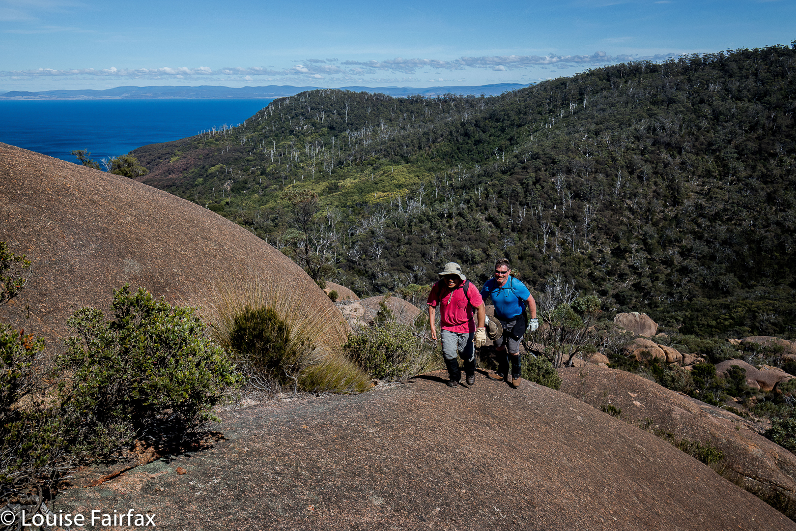
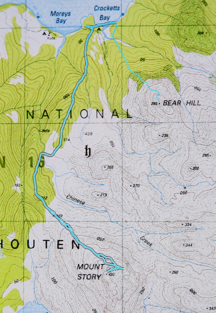
Mt Story does not have a path to the top, but it does have a taped route (mostly pink) that is not too difficult to follow. This mountain is a much longer undertaking than Bear Hill, and we took about two hours’ walking to reach the top, with a break for snacks and another just for the heck of it added in.
The start of the walk was where the descending spur meets the track that exists between the two beaches to the north, i.e., between the beach on which the boat drops you (Moreys Bay), and the one where you camp if you want to camp right on the beach under the shade of casuarinas (Crocketts Bay).
If you compare the photos of this mountain worth points and Bear Hill, worth none, you’ll see that getting no points is more photographically pleasing on this occasion.
If you are wondering what the detour (on the map below) to the east after we’d been to the summit is, it was the beginning of a climb of Daedalus, but we soon decided we didn’t have enough time given the general energy levels prevailing in the group. One of our number didn’t think he was up to it, and really, I was not feeling one scrap energetic, and was glad of a pleasant meander back to where we’d come from rather than a desperate race against the clock to complete the circuit. I had a strong feeling that the salmon I’d had the night before, and again, for an early lunch, was not quite in the kind of condition that salmon should be in when meant for human consumption. I think my salmon pate needs to wait until the cooler weather of next autumn before it’s allowed on any more overnight bushwalks.

 View of Bear Hill from the water’s edge.
 Early morning view.