Arve Falls 2017 Oct

Arve Falls 13 Oct 2017
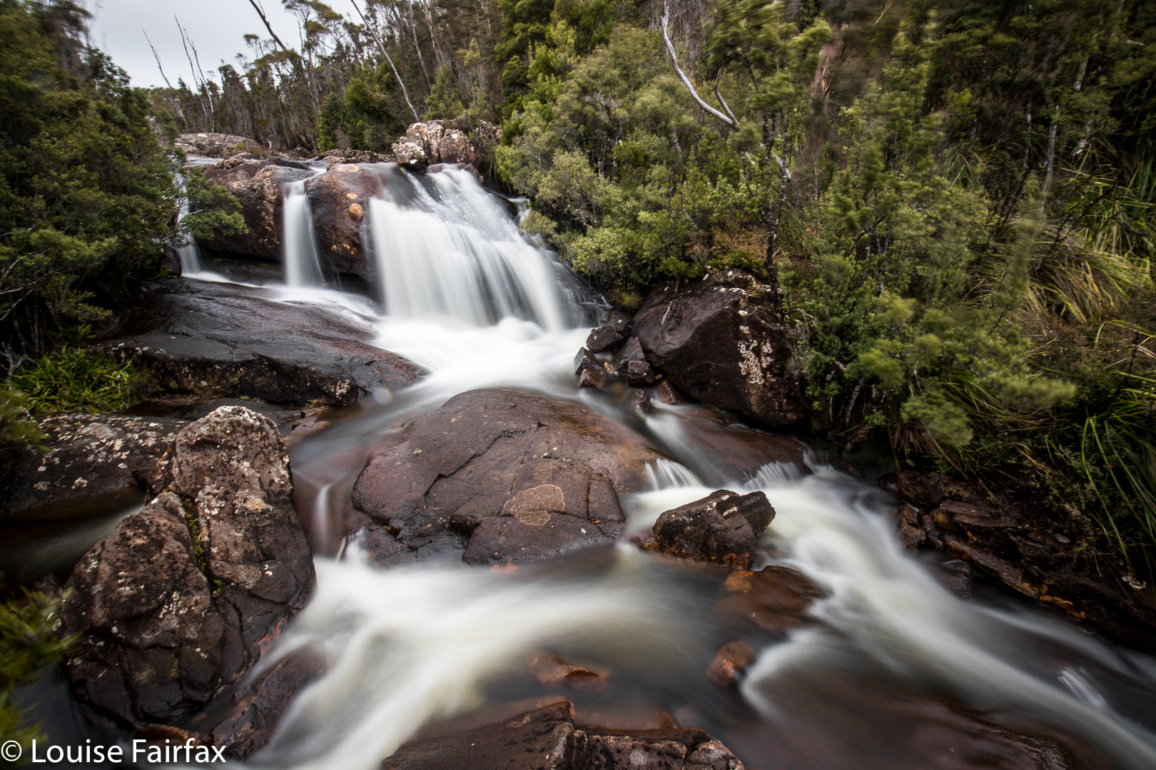

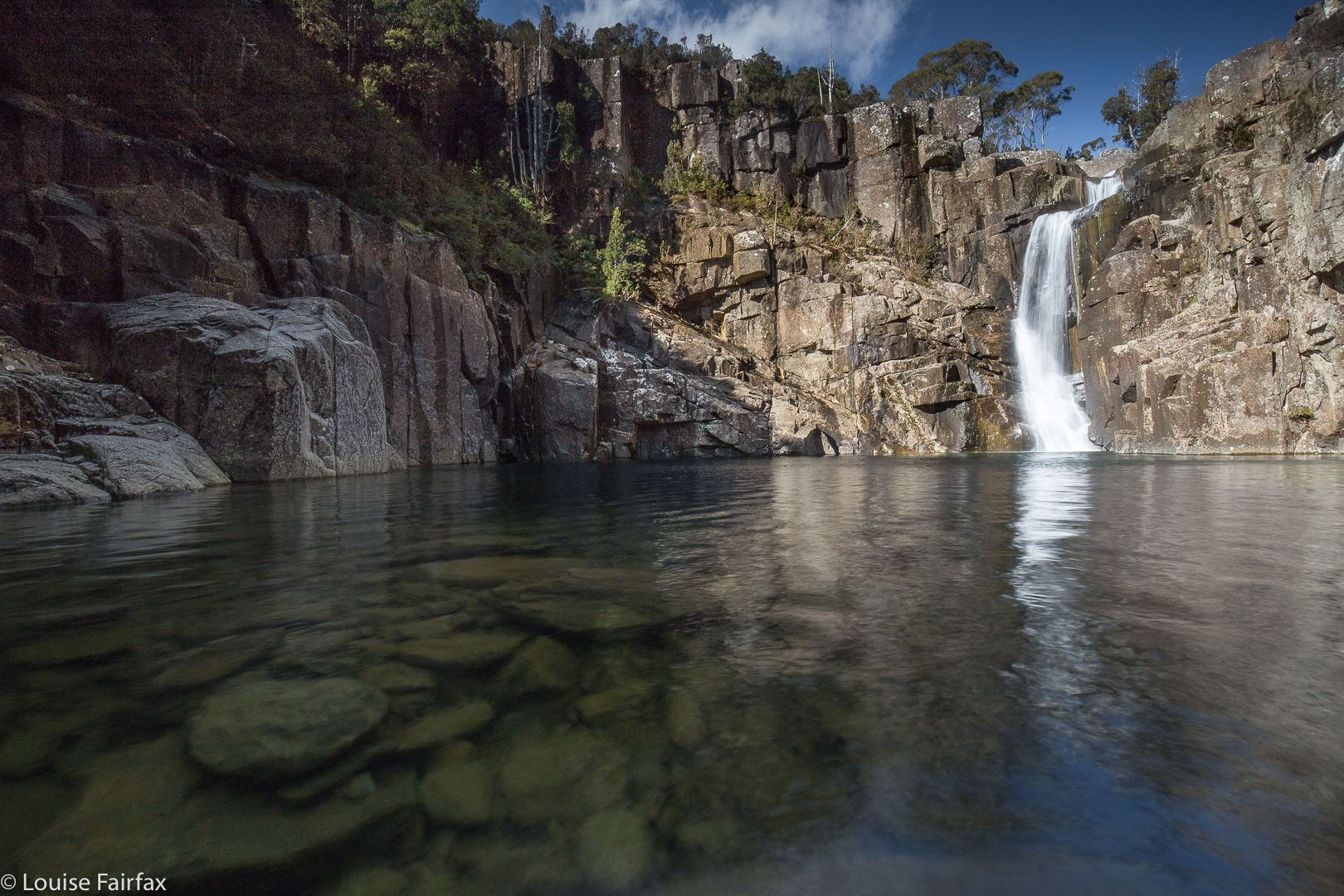
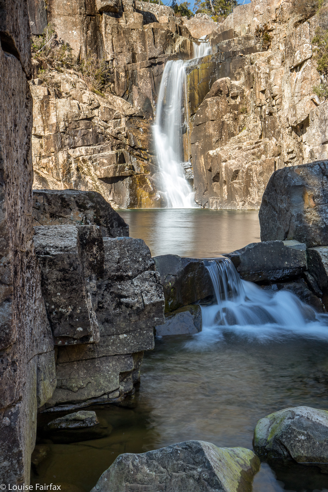
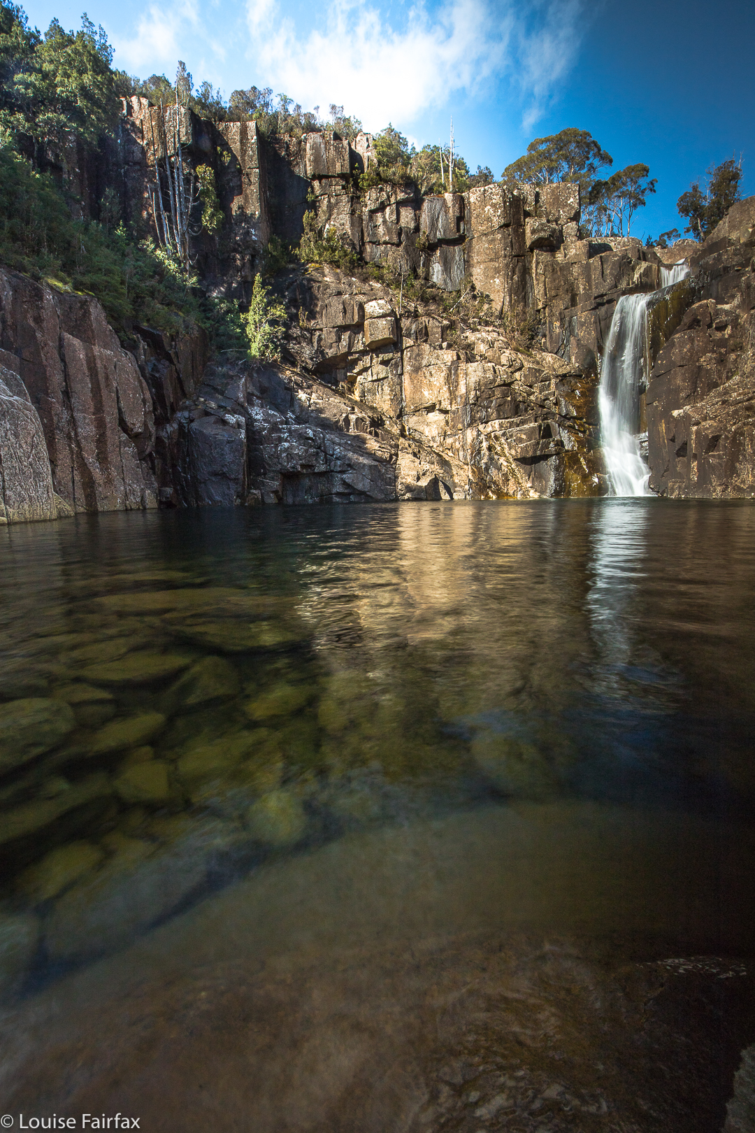
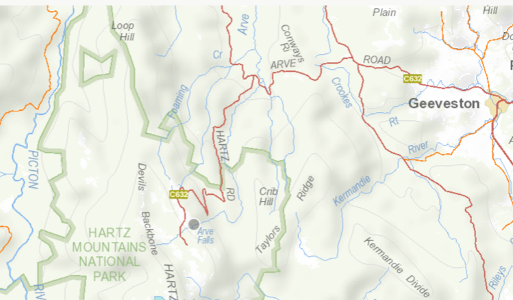
We parked in the designated Arve Falls carpark, but, despite the fact that it was mid-October, and thus halfway through Spring, it was snowing lightly. Being a wussy duo, we sat in the car and read, gazing out between page turns at the swirling flakes and listening to the howling wind. Eventually the precipitation eased, although the wind continued. This was not going to be a pleasant jaunt.
“Do you want to come Brou?”
He gazed out at the grey mist and listened to the angry howls and said he thought he’d read instead, but as soon as he saw I really was heading off into that stuff, he bounced out of the car to join me. If you know what happened to us the next day, that Bruce would accidentally wander off the track and die from a complication of his Parkinson’s disease, you will agree with me that this was an incredibly important decision, but at the time, I was unaware of its poignancy. I was about to do my last ever bushwalk with the man who has been by my side for 10/13 of my life – a smidgeon more than 3/4s. I was a tiny, insecure teenager when he met me. I grew up with him beside me, sharing and shaping, but Life was about to take him away.
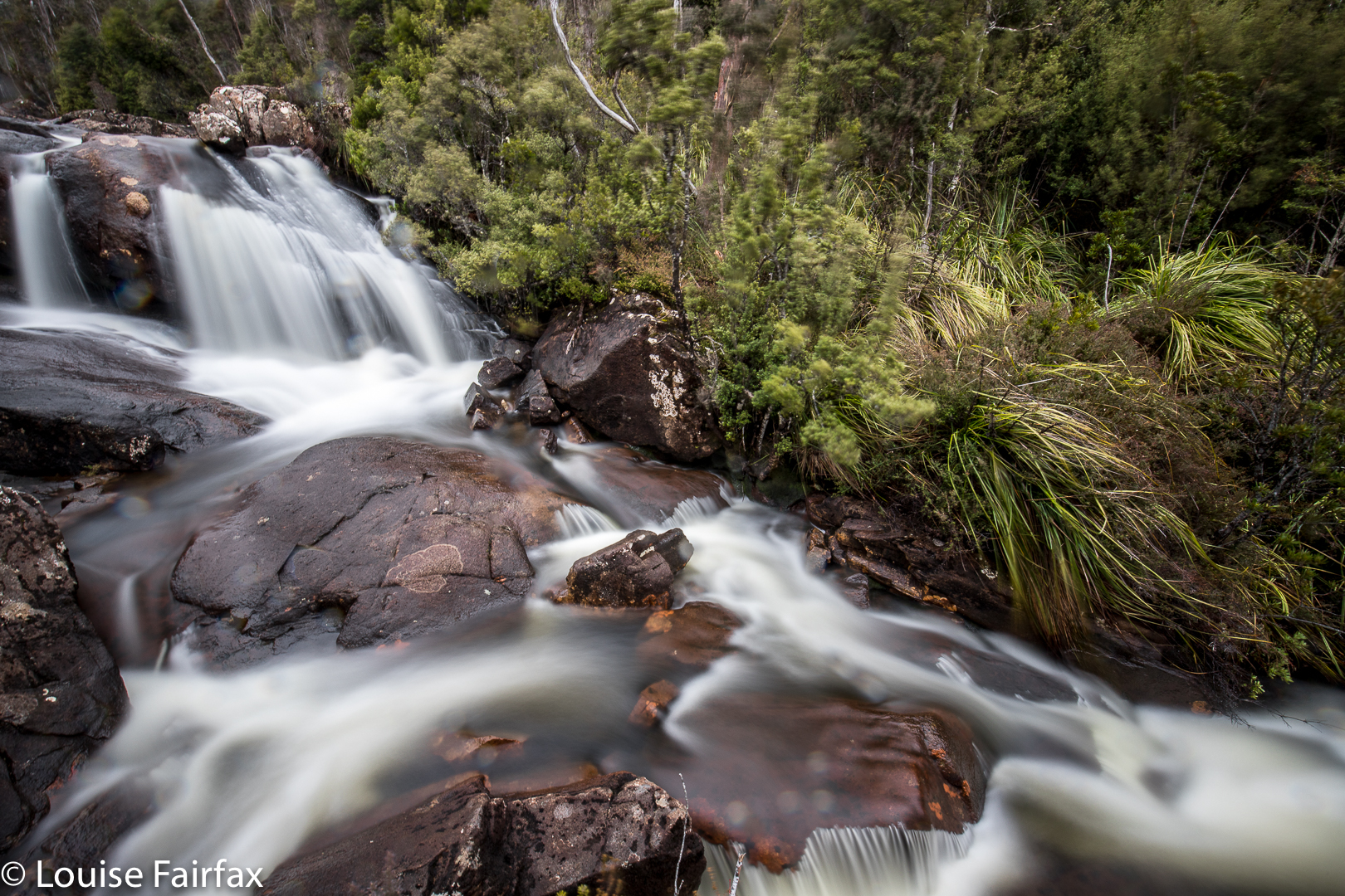

Not knowing the future, we did not walk arm in arm. Instead, we buried ourselves in our Anoraks, shoulders closed in on our chests, but this strategy provided little defence from the blast that was so noisy we couldn’t hear each other. We scurried along the track, eager to get to where the land dropped, figuring we might gain better sanctuary there. I did have time within this scuttling to notice the glistening moisture on the rocks with their blotched lichen.
The falls are not far along the track. Soon enough, I was photographing in a relatively protected spot (although I have noticed the bushes are not in nice focus due to the wind; I was reluctant in those conditions to be fancy and do a short and long exposure for later combination – sorry). As ever, Bruce gazed out at nature and the falls, meditating while I shot.
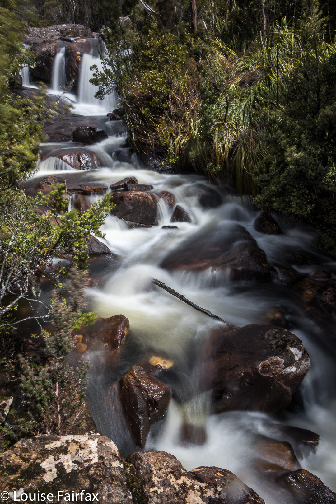

When we got to the lookout, I of course did a bit of fancy work to get a better angle while my mother-hen husband clucked in angst as he watched his wife climb barriers and perch on ledges. He didn’t find my antics to be a relaxing or pleasurable spectator sport. He was very fearful of heights himself, and didn’t like me being in danger. From the safety of the viewing platform, he enjoyed the deep drop of the falls to a base that couldn’t be seen, way below. (I want to return and get to that place).
Photos finished, we returned to the car, and headed for Dover, Bruce’s choice amongst the possible options for that night. A helpful lady at the Geeveston Tourist Centre booked us into Driftwood Cottages, a bit further south, into a little bungalow on the waterfront. The incredibly kind lady who greeted us at Driftwood was to later take us under her wing and offer us a place where we could “relax” – well, none of that got done – after dark and before 7 a.m. as we continued day after day in our fruitless search for a wandered Bruce, but that is another story. (See www.natureloverswalks.com/creekton-falls/ ).
 

Parsons Falls 2017 Oct

Parsons Falls October 2017


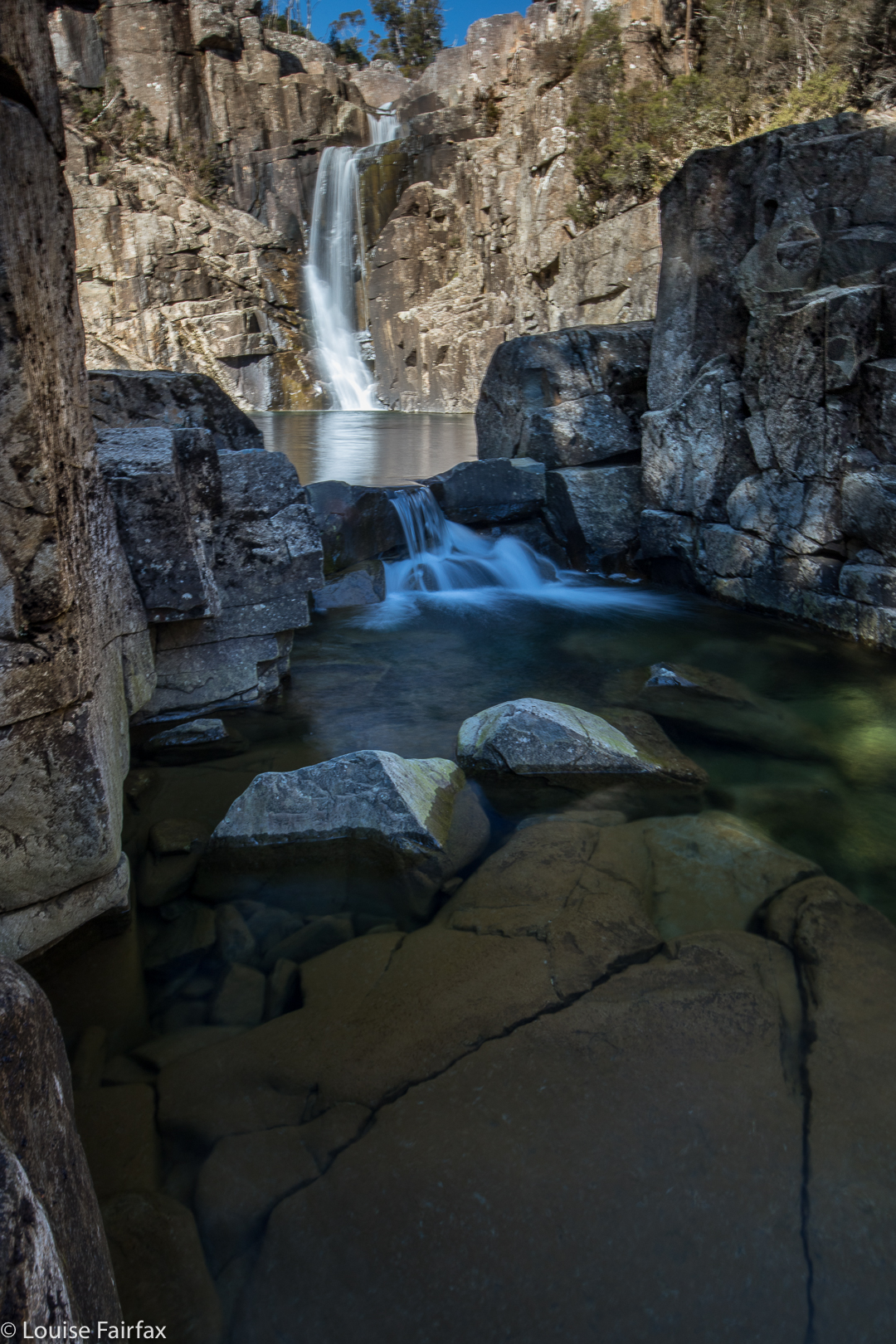
Parsons Falls have been calling to me for quite some time, and at last, today, I found the opportunity to answer that call, armed with family members, including a rather hirsute daughter who is getting rather keen on this bagging business.


The drive there took me a lot longer than I’d reckoned on, but that was fine. We started after an early lunch and were not at all time pressured. As it was, we stayed there for quite a while, as my ballhead got knocked off my beautiful sirui tripod on the way in, and I lost a lot of time going to and fro, up and down the cliff and back and forth along our inward route, but with no results.


When trying to photograph, I had to use CPL + GND filters to cut the extreme glare, but that meant I was taking exposures between one and five seconds long, hand held … breath held. I didn’t have a clue if anything would turn out. But hey, it did.
Normally, I publish routes. However, there are signs all over the place telling one not to go along the logical route. In the interests of discretion, I will thus not publish my route, but you can contact me via a comment here, or instagram ( @natureloverswalks ) or through bushwalk.com (my name there is just ‘naturelover’) and give me your email address and I can send it to you.

PLEASE, if you find my BALLHEAD contact me. My tripod is useless without it.

Helder 2017 Aug

Mt Helder Aug 2017


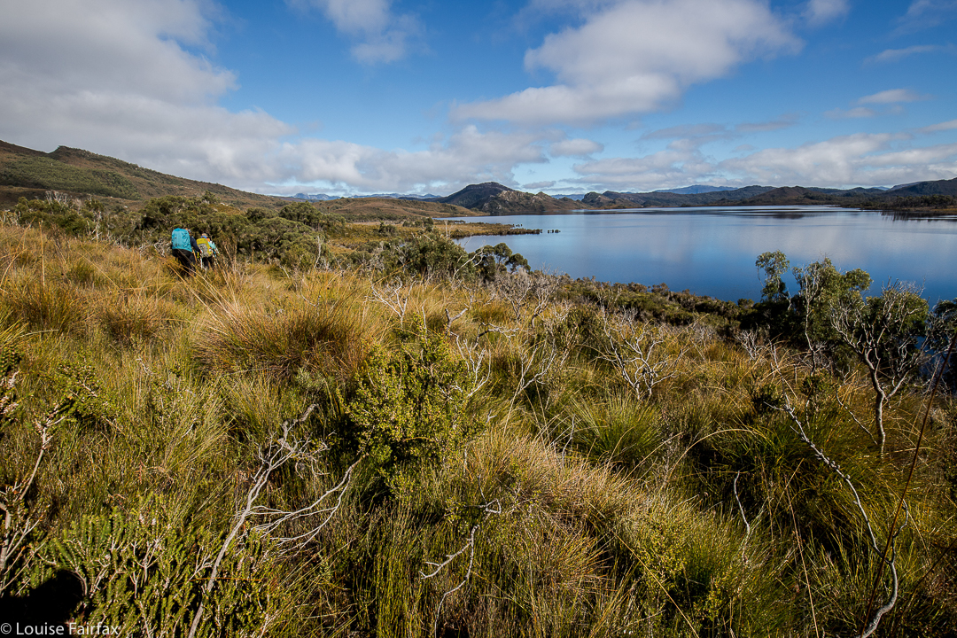
Underway to Mt Helder, walking around Hermit Basin at this stage, heading for the Herder Inlet. Stillwater Hill in the background, centre (I think).
Over the years, I have seen a few photos taken from the flanks of Mt Helder, and have wanted to see these sights for myself. For me, this mountain was all about the view rather than attaining the summit, although, of course, I wanted to do that too; however, being in the wilderness and seeing what could be seen from up there were my primary aims.


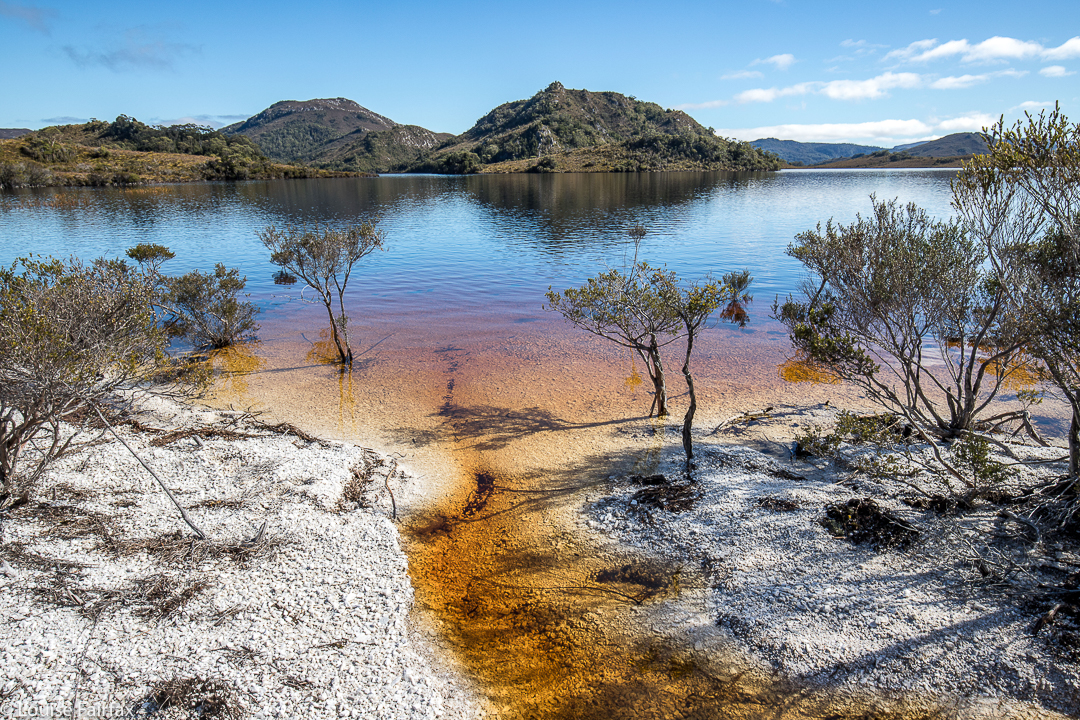
One of the very few moments when we could walk where we wanted to – on the white “beaches” of Lake Pedder.
We’ve had a lot of rain this winter, so I was not surprised to see that the normal white quartzite border around the lake (wonderful for quick progress) had been swallowed up by the bloated winter waterbody. This was inconvenient, but it sure was nice to see the lake looking so healthy. The repercussions for our little foursome were that instead of a nice lakeshore march to our real starting point, we would have to do battle with resisting scrub for several hours before we could begin the climb proper.


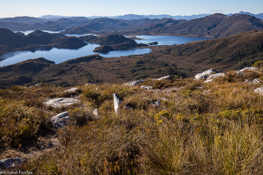
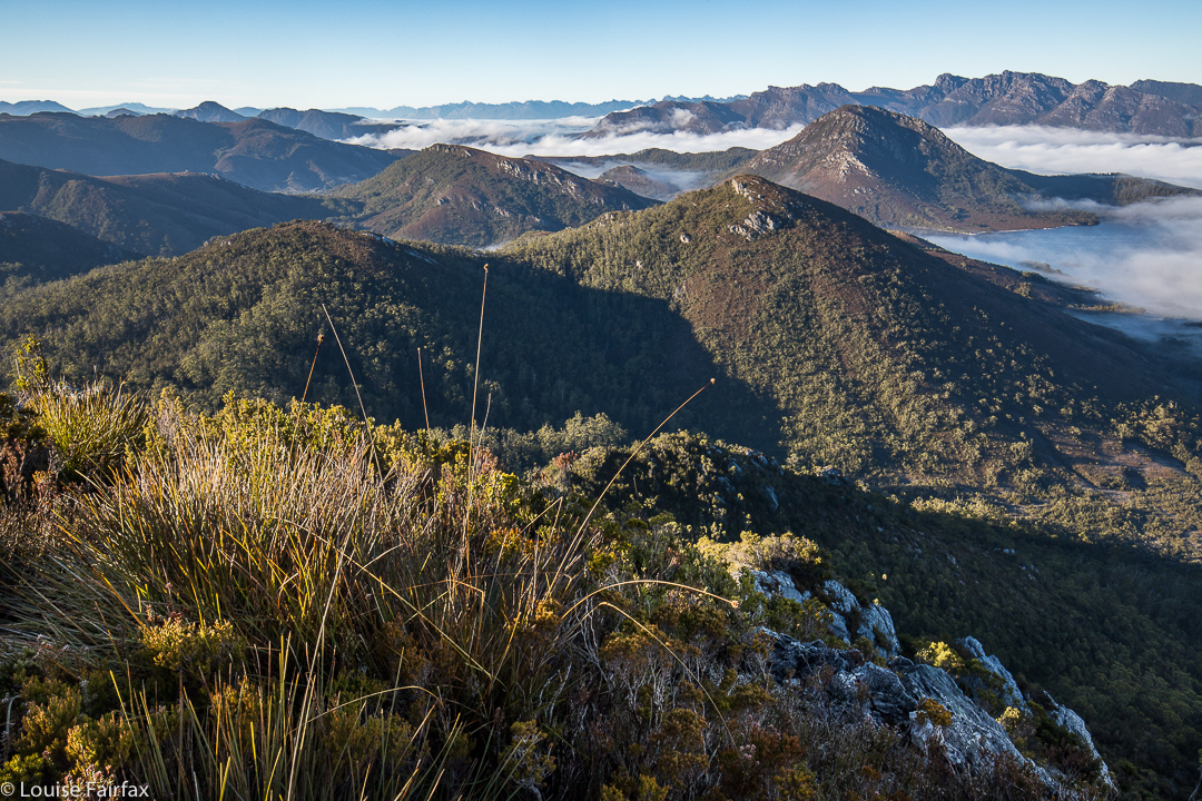
Looking down to two gorgeous unnamed lumps in the Stillwater Passage. Right to Mt Cullen. It took over an hour to get up here from the plains below.
The first hour and a half of our journey was thus embarrassingly slow. As far as the crow flies (pity these birds can’t carry packs for us), we had covered little territory, having wound back around the lake to where we could see our starting point, all too near.  By lunchtime, we had made a more satisfying dent in the work to be done, but still had a way to go before the “starting line”. After three hours’ walking (plus lunch and morning tea breaks), we were sitting near the base of the climb, ready to begin the steep ascent. We sat there drinking and eating a bit more, girding our loins for the work ahead, and chatting while the day was warm and pleasant. I knew we would be too cold to sit around the non-existent campfire at night when the temperature dropped below freezing; it was fun to do it here, just soaking in the wilderness ambience.


As we chatted, I looked up at the first nobble we would head for, and guessed it would take us an hour to reach it, close as it was. I was hoping that was a pessimistic guess (I like to have pessimistic guesses so as not to be disappointed later), but, unfortunately, it was a little optimistic. Not only was the climb “in your face” steep, but the ground was slippery and slimy, making the work more difficult, as sometimes you’d slide backwards, losing precious height gain. Always, you were on your guard against a really big slide back to unknown depths below.


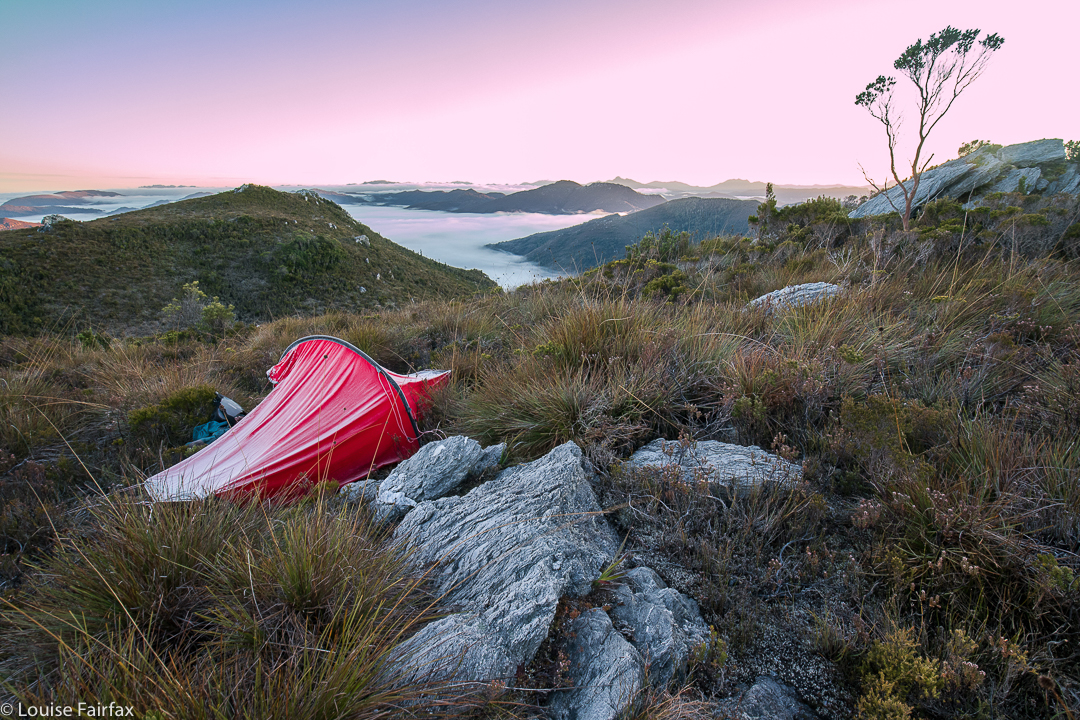
Dawn next day. I woke just in time to catch the roseate sky. I feared I’d missed it, but the eastern section still had a pink tinge.
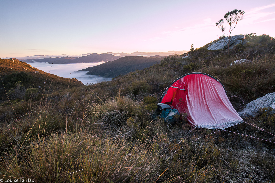
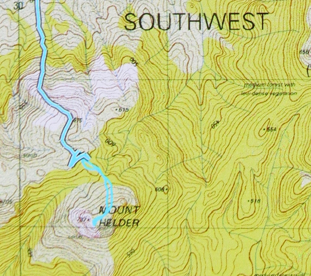
However, soon enough we’d reached it, and what a great reward for our efforts. I could have stayed there easily, but this spot wasn’t what we needed if we were to complete our stated intension of ascending Mt Helder. On we continued, to a high point looking across at Helder (on the map below, this is where you’ll see a lot of doubling back and forth). The aim here was to dump our packs, summit Helder, collect water on the rebound, and then proceed a tiny bit further in the direction of Mt Cawthorn. Off we set with water-collecting equipment for the way back, and plummeted down into thick, nasty scrub. We climbed back up and tried a different tack. Now, it was 4.30. We took stock of our current situation: (i) it would be dark by 6; (ii) this forest was very, very resistant to our best efforts, (iii) it would definitely be well below freezing overnight, making being caught-out perilous. It seemed we really ought to abandon a summit attempt for today, and do it straight after breakfast in the morning. This was a much safer option. We went down into the depths for a recce and to collect our water (mud, actually), gathered our gear and went to a nearer tent spot, the one in the picture above (and below). Can you see the ice on the tent in both shots? It was a bit chilly up there.


Day 2.
With plenty of time up our sleeves, we summitted without great difficulty (although with a worthy counter-battle by the bush) in a bit over an hour from our spot, and returned in a bit under, meaning that we had nearly an hour to scrape the remaining ice off our tents (alas) and pack up for a ten o’clock departure.


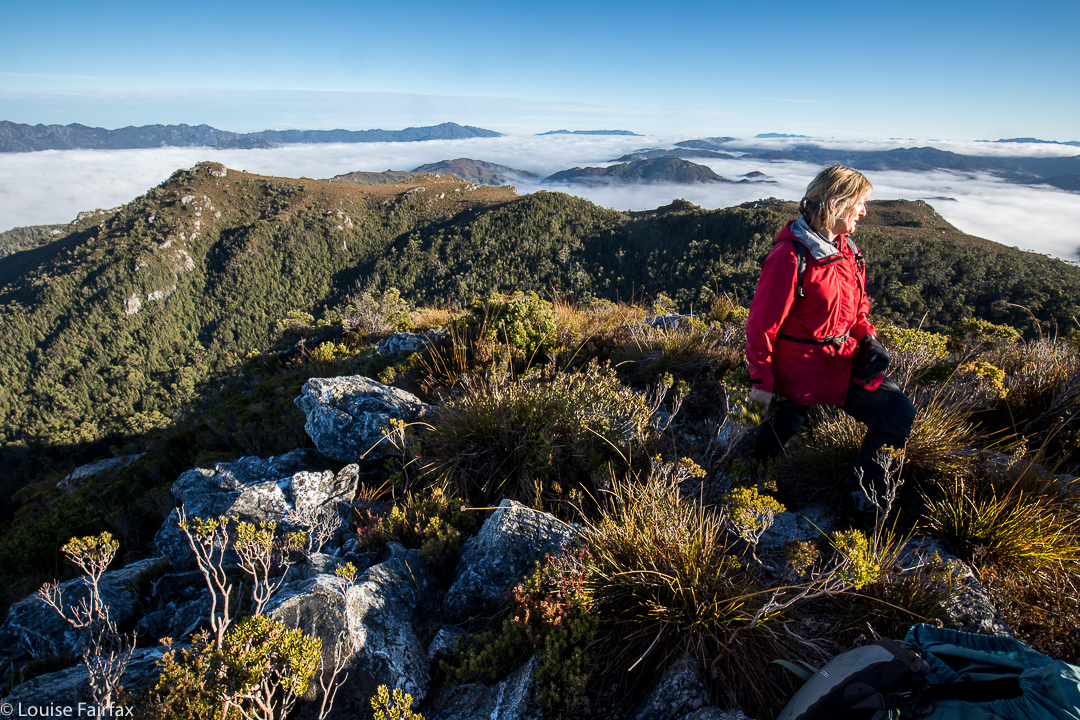
Summit view. We’d earned it – although I did like the tent view better.
We were more efficient on the way back, staying higher to avoid the thickest of the bauera’s web of unrelenting branchlets and the mass of melaleuca trunks that don’t like being budged sideways, and the cutting grass that likes to slit various parts of your anatomy. We only had to lift our legs high each step over the button grass and deal with bands of bush guarding the many creek crossings. Easy. Huh. We were back at the cars by 3.15. Obviously, we had decided to leave Mt Cawthorn for a time that favoured faster movement.


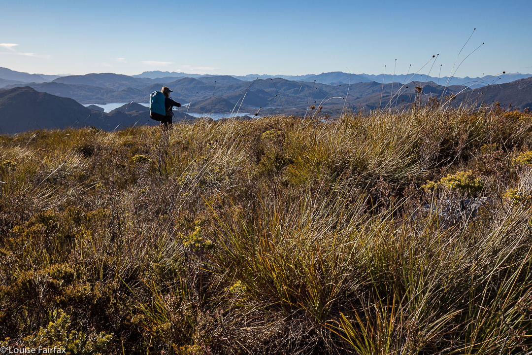
Sue Ellen looking east, while the camera gazes SW at Mt Cawthorn, and the Frankland Range beyond.


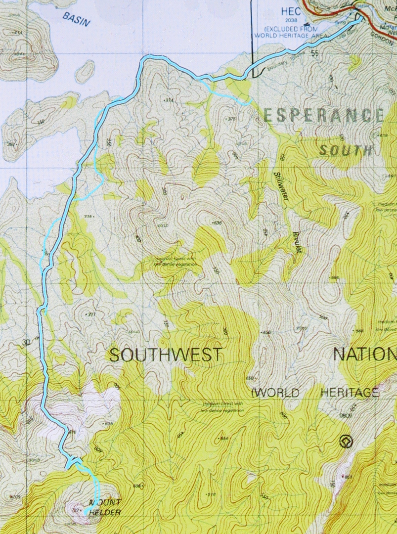
The lower route – to our destination – is the cyan route with black outline. The return route can just be made out – cyan with no black border. Unfortunately my battery ran out near the end, but you can see where we’re heading. The dos and from up high before the Helder saddle are (SW) where we pack dumped, and (NE) where we camped. The end of the black line is where we found water of sorts, so long as you like the taste of mud and grit in your drinks. It’s an acquired taste that I don’t mind.


Close up of the final stages to give you a better idea.

Montana Cascades 2017 Aug

Montana Cascades 27 Aug 2017
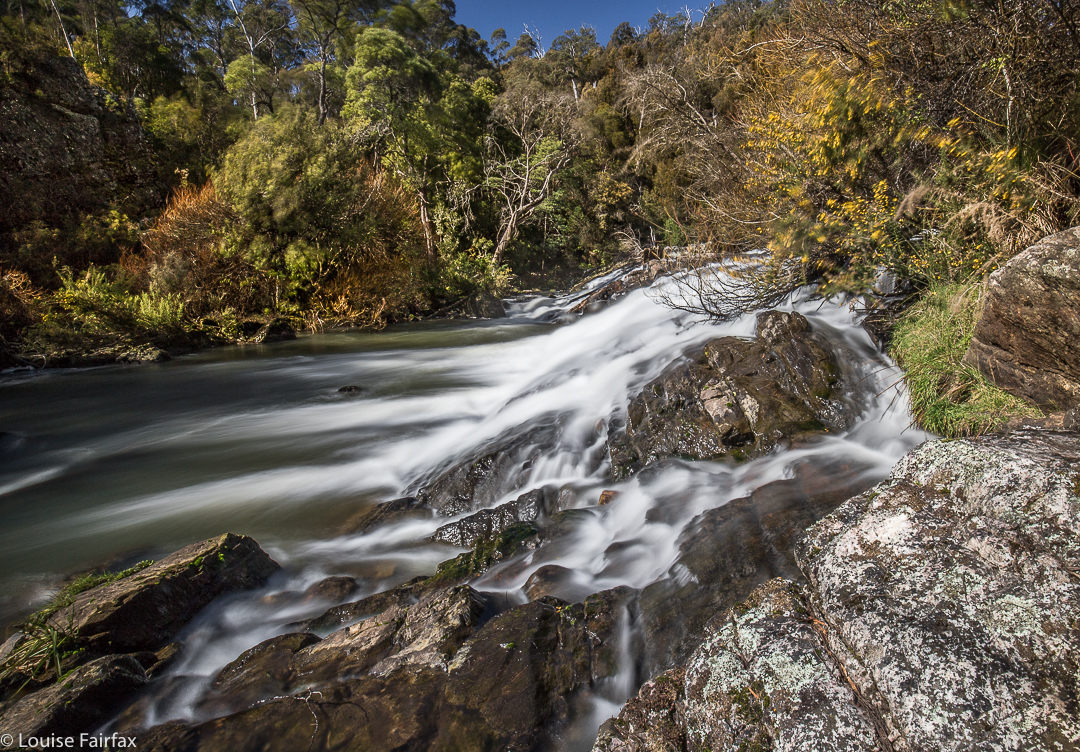
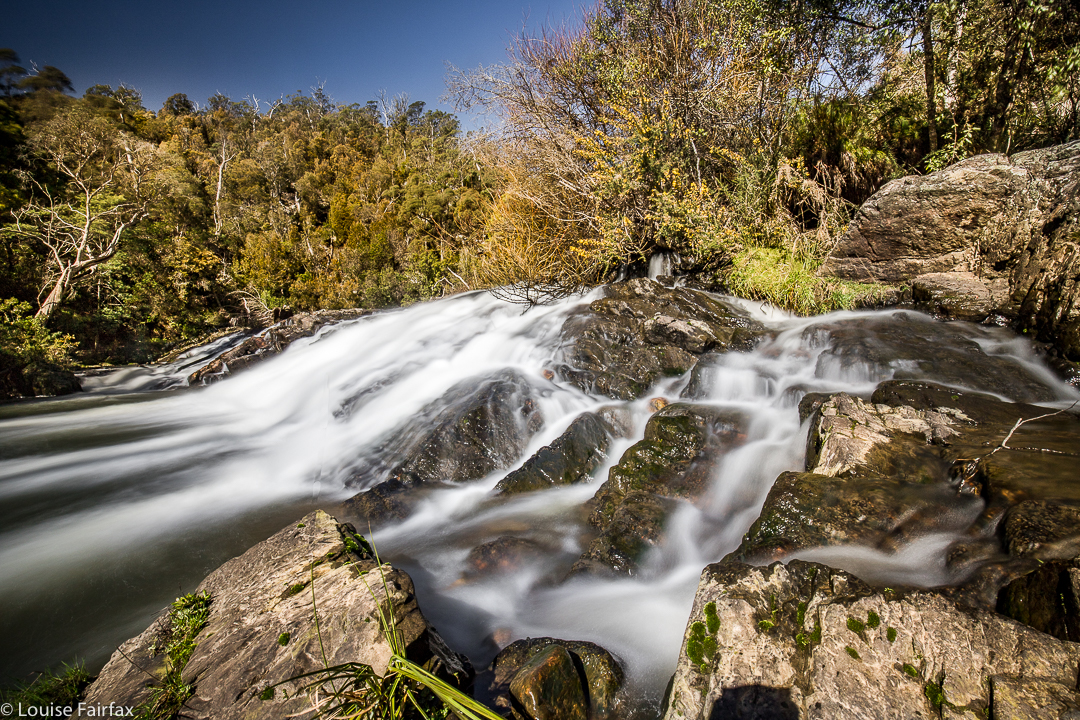
I originally published this under the title “Montana Falls”, having followed the Waterfalls of Tasmania website to get there. However, friends then emailed me and told me that what I had shown was not the falls at all, and that one did not access them via the Salmon Farm (41 degrees South). So, I have now called these lovely falling waters Montana Cascades. They are well worth a visit – but so are the falls, the real falls, upper and lower. For them, go to the blog labelled, correctly, Montana Falls. Here is my report on the Cascades.


Just look at that wretched blue sky on a day forecast to be snowing all day! Having forced my husband to read in the car while I went to Upper Liffey Falls solo (because of all the ice and his Parkinson’s Disease), I chose Montana Falls as my second falls for our little trip, as he could easily do those. As it was, however, he has only seen what you’ve seen – my photos.


I reckon it would be pretty cool to own a waterfall and be able to swim below it whenever you felt like it.
Dogs were allowed out the back, but not out the front of the property, so he decided to take Tessa for a walk in the bush rather than come and see the falls. Thus I ended up doing these by myself too – which is actually a good thing, as once the path ran out, I had to climb through prickly gorse bush to get up and around some mini-cliffs before I could continue to where I wanted to photograph. The descent to water level was also not for him. He and Tessa had a lovely walk in the forest behind the main building.
To get to these falls, go to 41degrees south salmon farm, just out of Deloraine, (on the way to Dairy Plains or Chudleigh) and pay a fee to walk along the track to where you can view the falls. I asked permission to go beyond that official part.

Upper Liffey Falls 2017 Aug

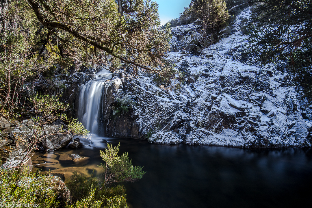
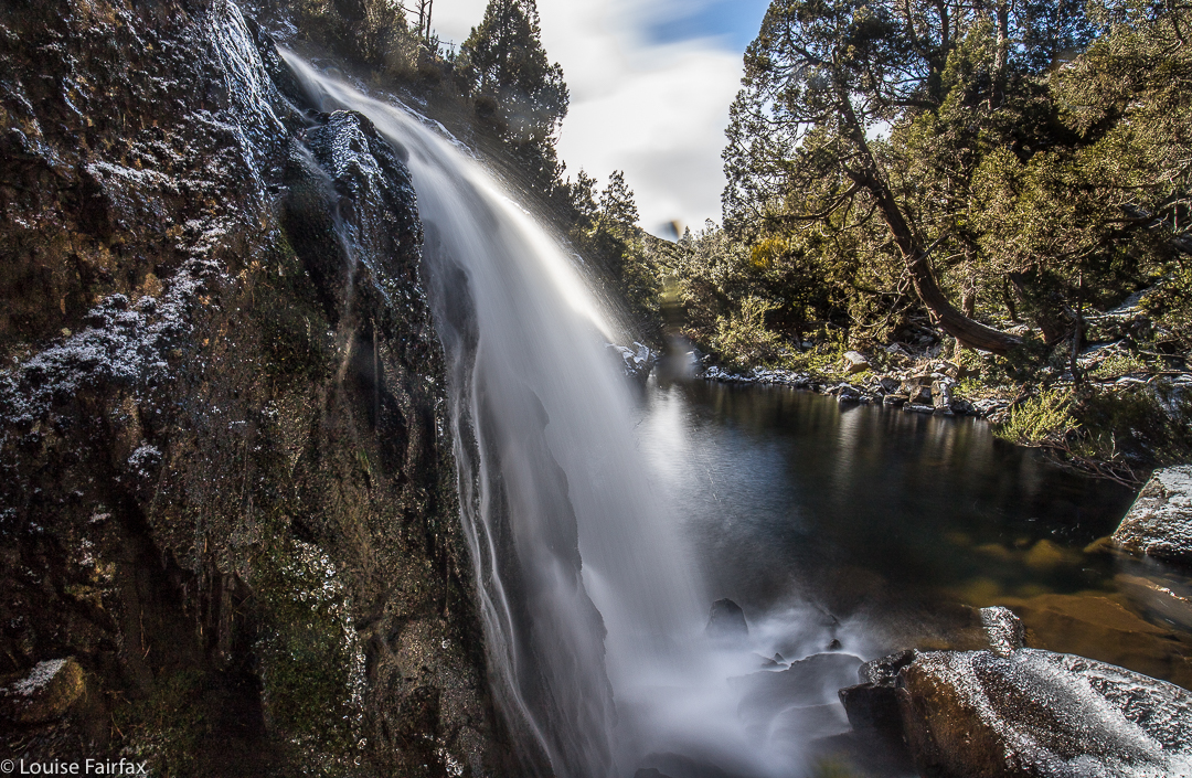
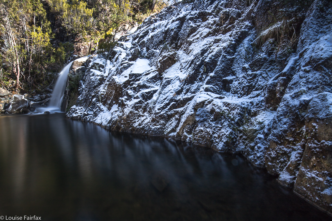
Upper Liffey Falls in the snow. August 27 2017


Upper Liffey Falls in frozen glory – just what I wanted.
The forecast for today was snow down to 300 ms. I figured it might possibly be cold, and a bit unpleasant for a jaunt that would last too long, so I chose Upper Liffey Falls (and its nearby mate, Montana Falls – see separate blog under that heading) as my option for such a day. Upper Liffey Falls shouldn’t take too long. I told my husband to bring a good book, as I didn’t think an icy waterfall would be suitable for him. This was one to do solo. He could join in on Montana Falls.


It was kind of hard to find a good place to park the car, as off-road was very icy and covered in snow, but on road seemed asking for trouble. I eventually found a spot near to where I wanted to launch myself into the white wonderland that was a compromise between the two, and off I set, not sure what would be in store. It was a bit bushier than I expected, and the branchlets were laden with snow, so any hint of a track was not exactly clear, and I kept being bombarded with tiny snow missiles. Every now and then, I found tapes, which let me know I was going where others went. I’m sure that in conditions in which the ground is not covered in white powder, things would be clearer.


Anyway, nothing mattered. I knew exactly where I was going in the grander scheme of things – I was just being a wuss and seeking the path of least resistance so as not to get covered in snow as I went. The temperature outside the car was “only” zero, but that didn’t take into consideration the wind chill factor, which felt pretty extreme. I was glad to drop out of the blast as I descended to the falls. It was another case of “make your own way down”, which is fine, even in these icy conditions, although I did take it slowly. No one was going to come and rescue me if I was hasty and slipped and hurt myself.


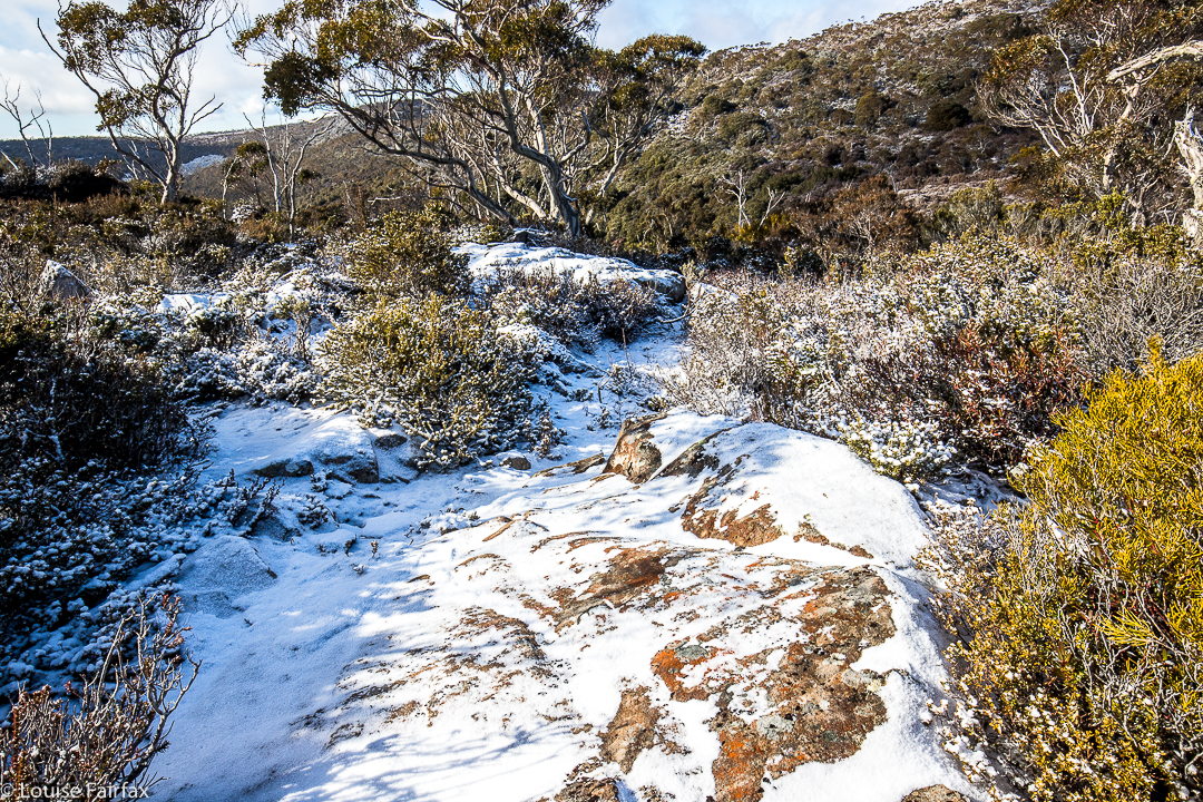
This is a non-bushy section up the other side. That looks like a track , but it’s not. I don’t think there is one up there. The bushy bits are lower down.
I was a bit disappointed not to have more snow surrounding the falls, but I’m just being fussy. I was, however, downright peeved to have the wretched sun come out just as I was preparing to shoot. Lucky I had my stoppers, polarising filters and other toys to hand. The shots are 30 second exposures, which is long enough to flatten out the water and give a silky flow, but not so long as to turn the whole thing into a white blur. I hope you enjoy today’s “catch”.
I had heard of these falls quite a long time ago. I’m pleased to have seen them in real life at last.