Blairgowrie Falls 2017 Jul

First visit: Blairgowrie Falls 2017 July.
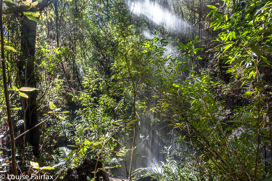

I looked out the window to see a beautiful day: crisp winter air, blue sky of a steely quality, sunshine, and not a cloud to be seen. “What a perfect day to find a new waterfall”, I said to myself. Now, if you know anything about waterfalls and photography, you will right now be questioning my photographic nouse as well as my general intelligence, because, given the hour it now was,  we would be arriving at the expected falls (IF we arrived) in the middle of the day, when the light is glary and utterly unsuitable for good photography.

What you don’t know in this unkind judgement is that my camera (the proper, full-frame one) is in hospital at present, so I don’t really care about photographic conditions. I’m stuck with using a compact today (although it does have manual controls and shoots in RAW. It’s still not the ‘real’ thing). In addition, given the weekend we’ve just had, I don’t feel like being rained on any more. I dutifully ran in the rain on both Saturday and Sunday. Today, I feel like walking in delicious sunshine. And anyway, this was only a recce. I told my husband and dog, both of whom opted to accompany me, that there was absolutely no guarantee of an arrival at these falls, and no promise of a long walk. As it turned out, we had a lovely hour and a half walk in pleasant forest, and got to both top and base of our beastie.

I really had very little to go on: I knew the location, and the name of the creek (Biddle Ck – not that that helped anything). I had never seen an image of my destination (the web is silent on this topic), and my directions were self-written, based on my reading of the map that came on my computer screen, which, unfortunately, bore only scanty resemblance to the outdated one I use in my gps device, or my paper map, similarly suffering from senility.
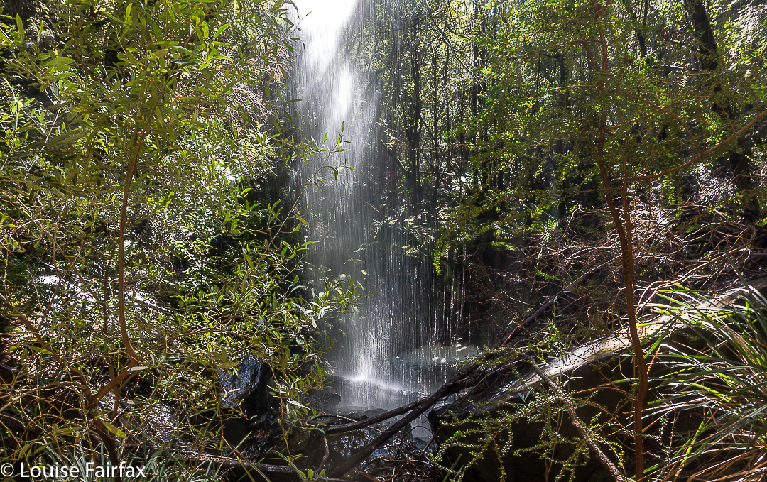

First tack was to try to reach it from below. I saw (off Old Bangor Tram Rd) a small private road leading to a house with a dam beside it (so the map said). Follow the creek up from there, and you have your prize. Fine. I’ll go and ask for permission at the house. As I thought all three of us might be overwhelming, I sent the other two off on a short private mission and went to the house alone. The nearer I got the more obvious it became that if someone lived here, they were … well … ‘different’. Some windows were broken, bits were falling away. It was really quite unkempt. I was rather relieved when there was manifestly no one there – not now, not in any foreseeable future. But meanwhile, I’d been rather turned off this as a means of reaching my goal. I stared at the map again and decided to try an attack from above. If that failed, at least we’d tried.
Now, attacking from above is all well and good, but with decidedly out-of-date maps, there was not a great deal of ground to map correlation. We set off up Murphys Road, with Bruce making rude comments about the Law of the same name, and used it as long as it went where I wanted it to go. At a fork (unposted) I turned left as that suited me, and followed this unnamed road to where there was a locked gate. We parked a bit further back down, and set out on foot, still with absolutely no certainty that we would reach the falls or how long failure or success would take. I guessed at 45 minutes in each direction, and we did it in 40 each way, so I wasn’t far out. The forest was very nice. We’d have a good walk, whatever else. Tessa said this road was excellent thanks. There were no signs saying Private, or Keep Out or Thou shalt not. It was all rather wonderful. And, with a boom gate that seemed permanently shut, there was also no possibility of traffic. We could amble freely. We did.
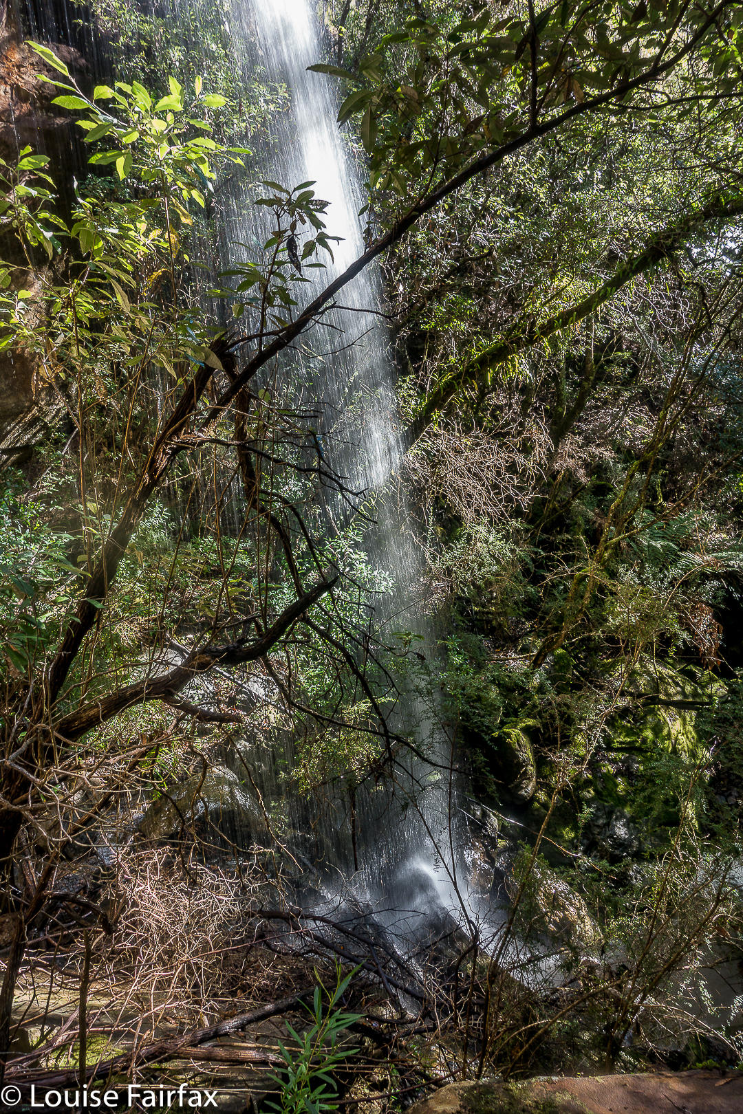
The blue line on the map below is the route we took. The only bushbashing we ended up doing was right near the end where the track on the ground was not worth searching for. On the way there (the more easterly route), we were on either clear or very indistinct tracks the whole way. There was one section where you needed pretty good tracking skills to spot where the path had once gone, but no bush bashing as such. And, stunningly, paths lead us the whole way to the falls. As these were not on my map, I was feeling pretty chuffed about happening on them.
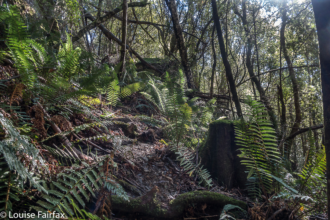
There is even al little path leading to the base of the falls. I was certainly not the first person to visit this place, even if I do appear to be the first to publish either a photo or instructions.
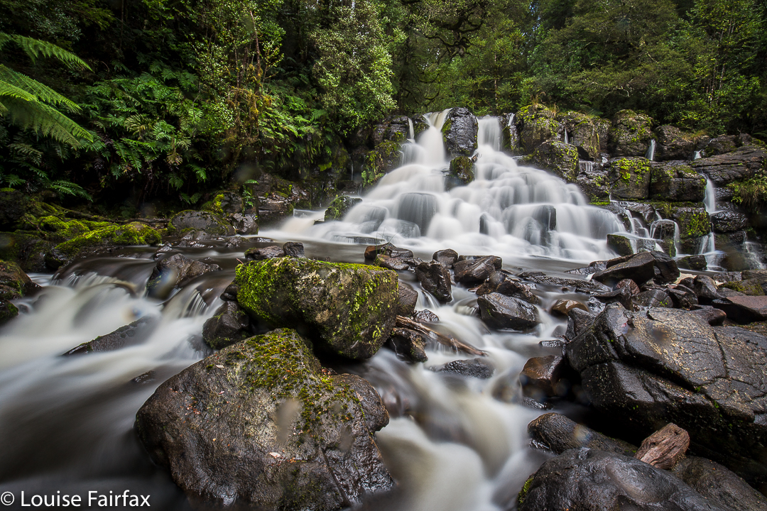
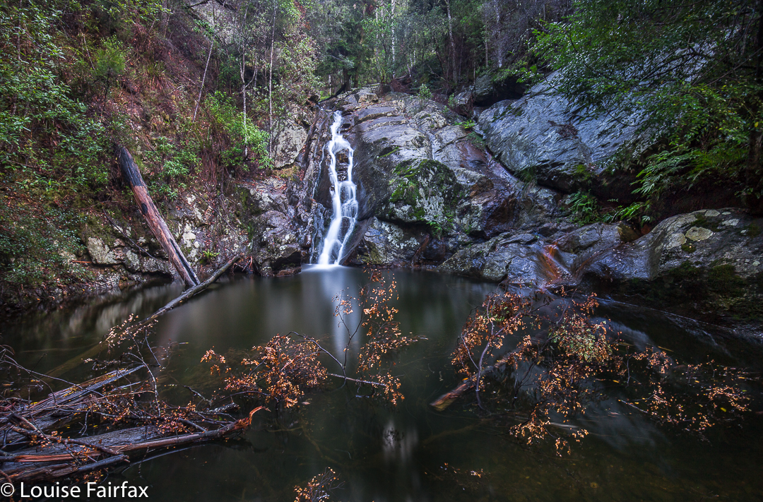
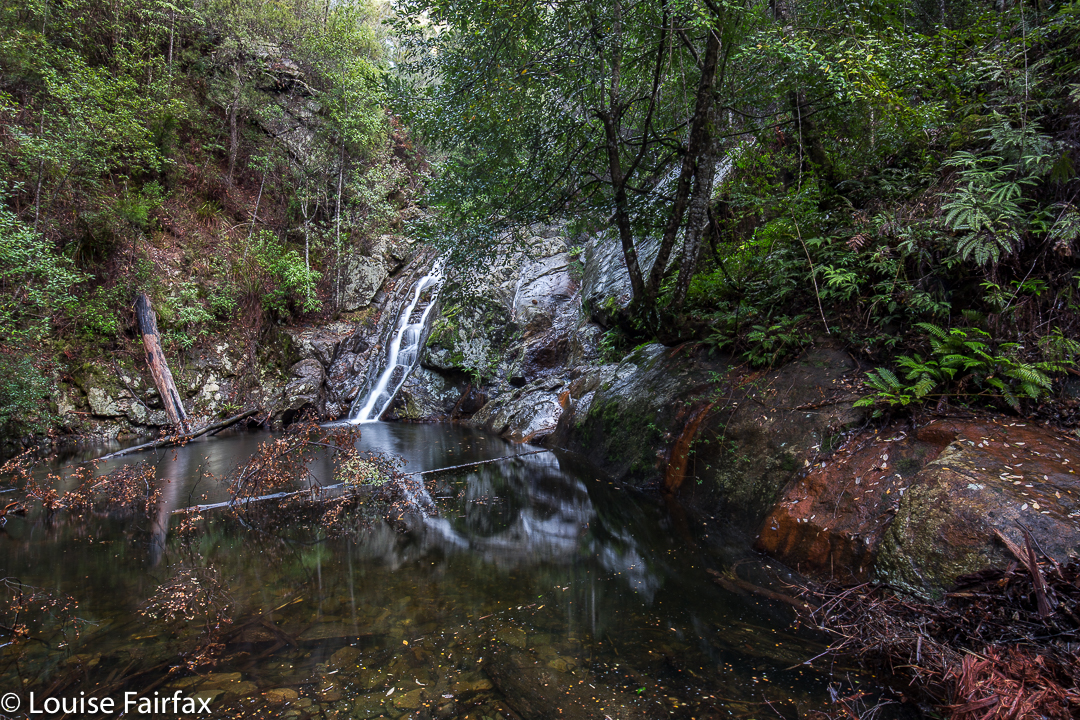
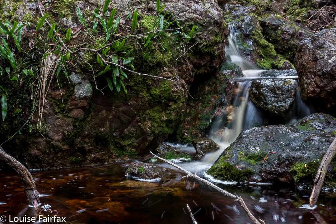
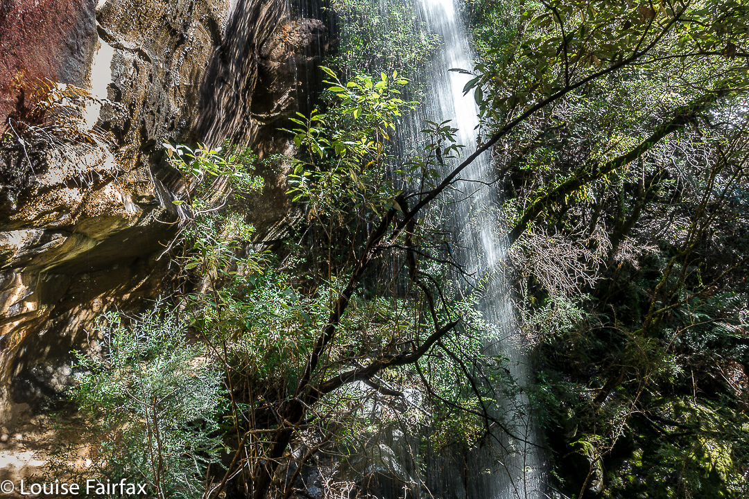
The top of the falls was not an impressive area, and I was at first disappointed, albeit happy to have found them. The base made up for any displeasure on top. They were fun falls, even if their flow wasn’t voluminous. You’re standing in forest with an endless flow of water emptying into the bush next to you. Considering how wet everything is at present, and how urgently most of the waterfalls in the state are pursuing their downhill course, I wouldn’t bother visiting these falls in anything but wet season.

(Take Dalrymple Rd C809 right when Hillwood is off to your left from the East Tamar Highway heading north. Turn right onto the Old Bangor Tram Rd C812, just as you pass under a narrow (rail?) bridge. Then, after a short distance, Murphys Rd will be on your right. I wouldn’t go up there without a gps.)
See the 2020 version for my route. If you want the actual gpx route to download, you can email me. My address is in my instagram profile.
Honor Falls 2017 May

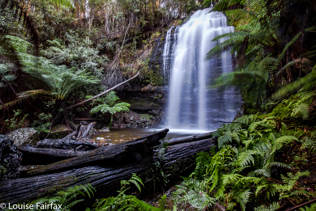
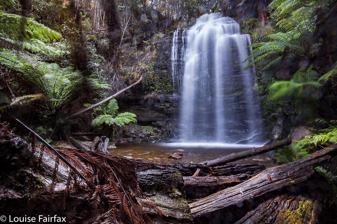
Honor Falls bagged at last. May 29 2017.
We were actually on our way to Liffey Falls to photograph fungi, but the lure of trying to actually bag Honor Falls acted as a siren pulling me in that direction once I recognised the scenery.
“I’ll just be max thirty minutes, and then we’ll be on our way to Liffey”, I assured my husband. I mean, the falls are only about two hundred meters from the bridge where I’d just parked. I failed the first time as I couldn’t balance having just been running a fever for four days. This time I was in good health, and was ready for the bush bash. I chose gumboots so I could wade once there. Optimistic choice.


Knowing how cluttered the forest was from last time, I walked along the road for about twenty metres with Bruce and Tessa before sending them on a fifteen-out-fifteen-back walk while I dashed in, photographed, and came out to meet them. I eyed up the forest. Bruce looked askance. I caught his gaze and nodded agreement. That’s @#&%.
“Let’s stay together another twenty metres or so.” (We are, all this time, on the left of the river as it goes downstream.)
The forest thinned out a bit, so I dived in, leaving the other two to their more purposeful walk. I made good time in the bush … until I hit a cliff edge that prevented me proceeding any further. Hm. I tried various options left and right of this point, but all ended in slippery, mossy drops that even with a rope would have had me dangling in mid air rather than achieving anything. Must need to be nearer to the falls themselves. I bashed my way to there, but again, met with impassable cliffs. By this time, I am wondering about these other Honor Falls baggers. What sort of heroes are these that can get through this stuff for their photo? Now I tried back even further, but met with the same problems.


So, sigh, back out to the road and try “coming in the back door”, by going further downstream and coming back at the falls. I found a spot where I could get in the bush and make some progress, painfully aware that my time was probably running out by now. The bush was thick and steep, but eventually I forged my way down to the riverbed. But this was very, very cluttered and the ferns were thick on the ground, offering zero visibility. I decided it would take at least ten more minutes to get to the base from here – IF I could. I didn’t have time for that. I also didn’t like the way that many trunks broke when I trod on them, always dangerous when solo, as you can fall when that happens. Oh well. At least I had now been to the base, kind of, and would come with more time next occasion. Up I climbed and headed for the car. There was still plenty of time to shoot fungi at Liffey.
Bruce and Tessa were not in sight (having decided to go out-forty-back-forty instead), and I had become curious about the other side of the river. I had seen no signs at all of humans having forged a way through the forest in which I’d been. I was continually making the bash, and there were no broken branches, slip marks, or signs of wear and tear that one uses for tracking. Maybe people go on the other bank. I’ll just do a quick recce, I thought, seeing’s Bruce and Tessie were still missing.


Over the bridge, down the private road, into the bush when I decided it was a good moment to go in, follow the stream along from above. Hey, there’s an orange tape. And another, and another. Human feet have definitely trodden here. Down I went. In no time at all I was on the bottom, taking two of the most hurried photos of my life before scrambling back up to greet the duo who were now, of course, waiting at the car. Had I been privy to the information I am now giving you, I could have saved myself a great deal of time – but I would have missed out on the adventure, and the sense of victory that I now have.

Wandle Falls 2017 May

Wandle Falls. May 2017.

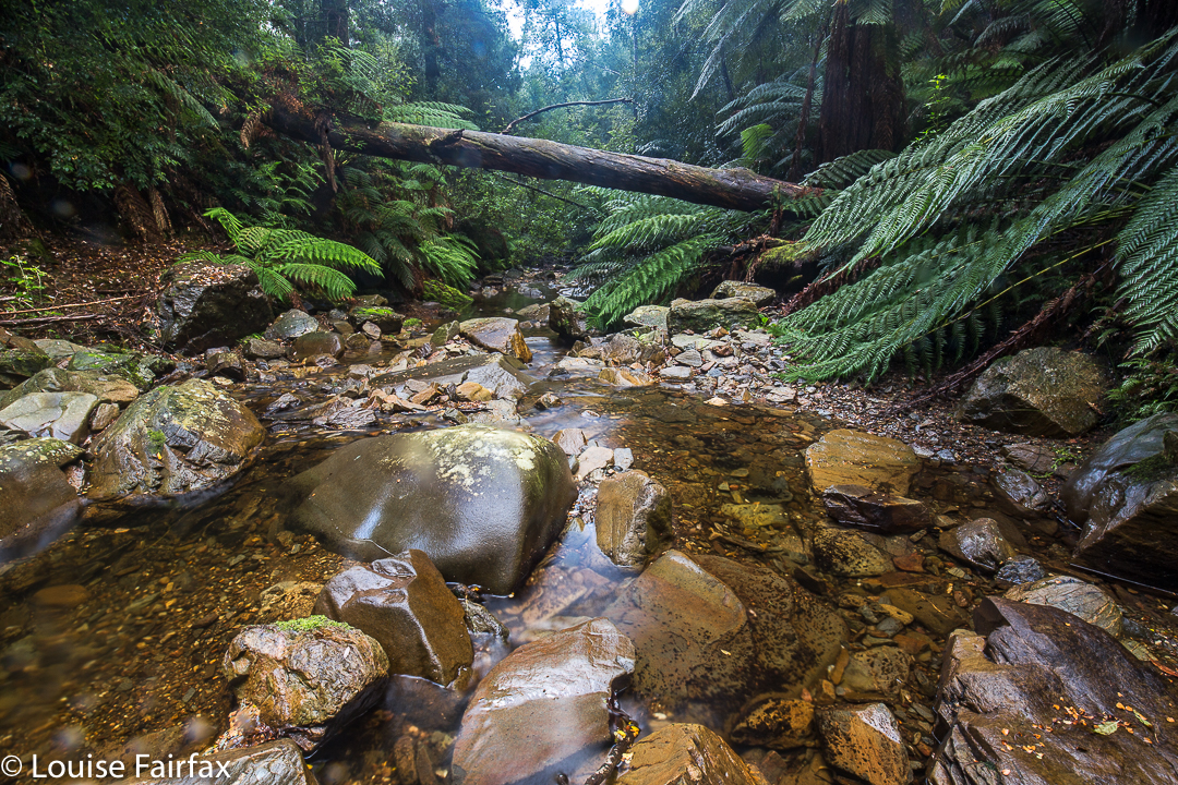
Wandle Falls
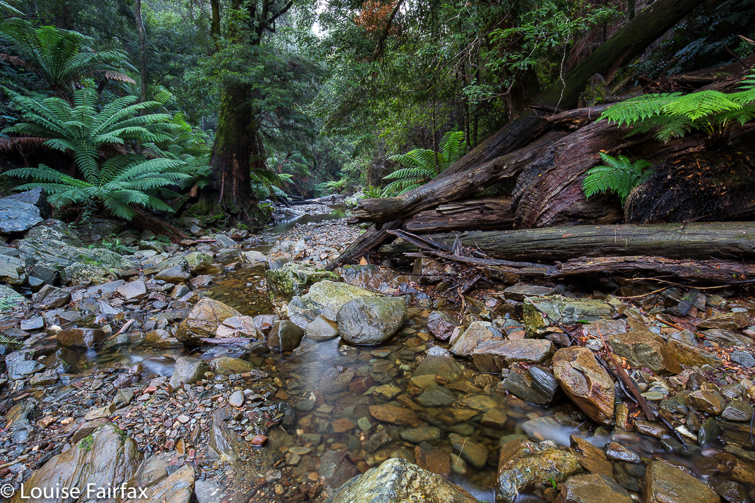
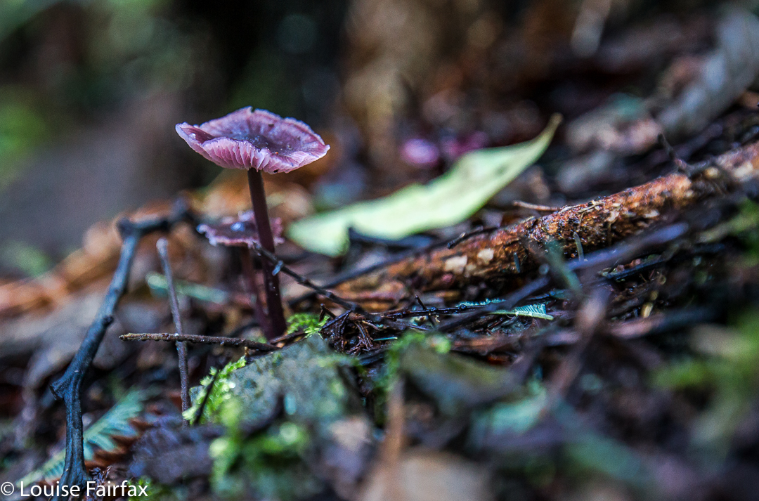
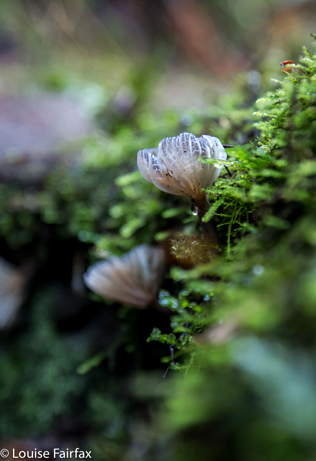
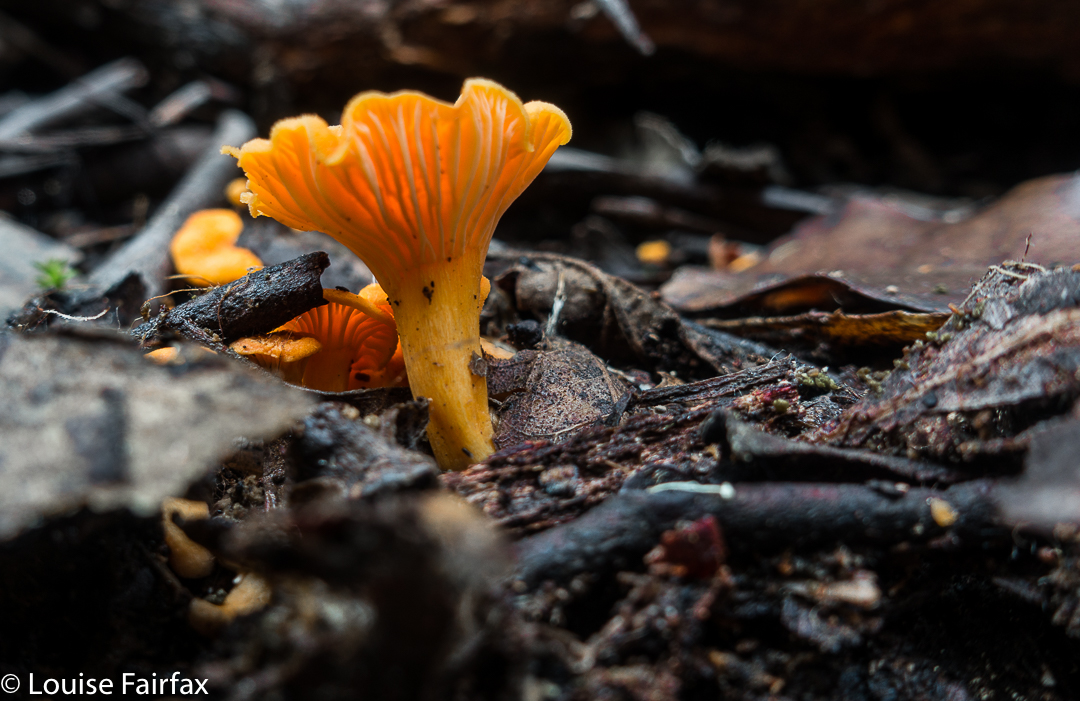
I had always wondered how it was that we could have visited Waratah several times, but never seen the Wandle Falls. That’s because they’re a secret treasure, and require a little hunting out. We tried to follow the instructions in the web, but the one I chose said they were a “short distance from Waratah”, and the writer and I have different definitions of “short”. I envisaged a few hundred metres, a kilometre or two at most. In fact, if you are in Waratah and wanting the falls, you need to drive east for 7kms until you reach the A10, and then drive north along this A10 until it crosses the Wandle River, which it does after 9.3 kms, giving a total of 16.3 road kilometres from Waratah. Fortunately, there was a little bevy of lovely ladies in the museum who helped put us right about the new definition of “short”. The ladies assured us we would be traveling to fairy land, and they were not wrong. We loved our stay. Not only were the falls beautiful, but we had a grand time trying not to step on all the darling fungi, and rolling in moss later, photographing them. Here are a few photos of the expedition – not a huge bushwalk by any means, but DO wear your boots if you go there. There is no track, although there are pink tapes every now and then.
Park your car at the bridge, and walk downstream (on the southern bank).

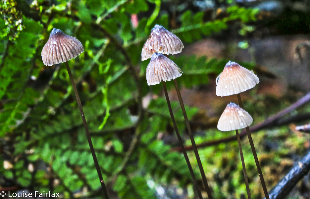
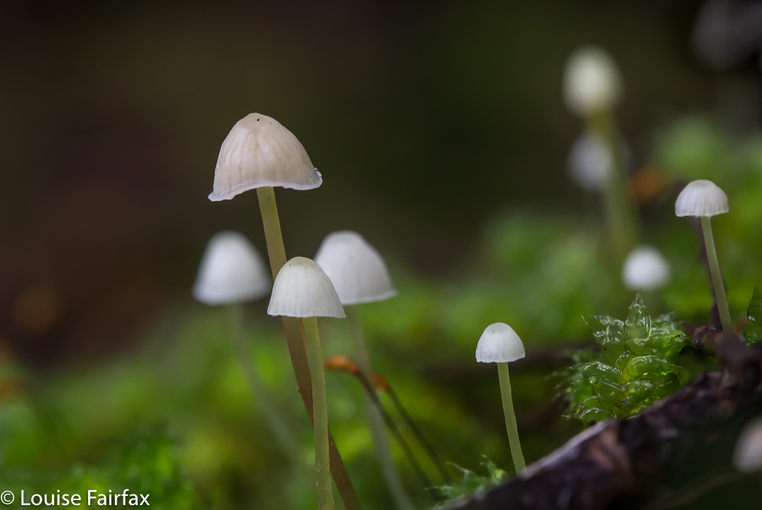
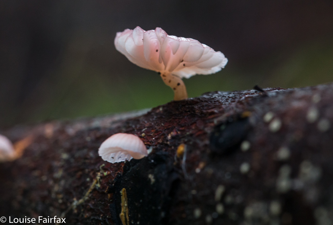
Mycena epipterygia 


Mycena roseoflava

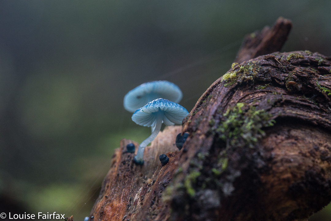
mycena interrupta

Holwell Falls 2017 May


Google tells me that Holwell Forest Reserve, in which both Holwell Falls and Holwell Gorge Falls lie, is thirty-two minutes from my house. It is therefore pretty reprehensible that I had never even heard of them before a local posted an image on Instagram that alerted me to their presence. It was too late, however, as the track had been closed in response to the flooding of two winters ago. Now it seems that part of the track is now opened – albeit with dire warnings that you need to be an experienced bushwalker to venture there. That’s fine. I’m very experienced. I wondered how bad it really was.


About two minutes into the thirty-two promised me, light rain began. Ten minutes later, it was so torrential that I couldn’t see at all to drive. The windscreen wipers flapped furiously, but to no avail. Nonetheless, I continued on my merry way, heading through Exeter and Winkleigh. There, I missed seeing the road to the left, and, hey, who can resist driving down a road called Flowery Gully Road? Not me. I followed it along, but it wasn’t doing what I thought it should, so decided to be logical and consult the maps app. Whoops. Now I was near Beaconsfield. Oh well. I found a road that linked this one to Holwell Road to the west, and attacked from the north. This ended up being a must fortuitous error. The northern end was way prettier than its southern beginnings. (But for efficiency, don’t head for Flower Gully. Turn left).


I turned in at the little blue sign, parked where I should, shouldered my pack with all my gear, and set out in what was now mere drizzle. I took an umbrella to shield the lens. You don’t often find me bushwalking with a big umbrella.


I couldn’t believe I have lived near this beautiful place for so long whilst remaining ignorant of it. The water was so very clear that even on this late autumn day, it begged me to paddle. Children must surely love playing here in summer. There were rock pools in abundance. The sign had said thirty minutes for the round trip, and I suppose that’s accurate if you don’t take too many photos. However, I was mesmerised by what I saw, and had all my gear for long-exposure shots, so way exceeded the suggested time. I think I was there about an hour and a half.


I had no idea what the state of play on the track was, of whether it had been fully or half repaired, or not touched at all. On the way to the first falls, it certainly felt repaired and in good condition. At the falls, as you can see from my photos, there were a few tree casualties lying in the water, and their leaves looked rather new. A bombed viewing platform had its skeleton remaining in place, but not much else. It didn’t look old. Maybe we have had even more damage. A huge eucalypt lay across the path; it was too big and slippery for me to get around it with a bear hug. You could, with a mild possibility of slipping backwards, get around if you went down and passed it at creek level. However, my watch now said I didn’t have enough light left for playing, so left that exploratory exercise for another day. Right now, I wanted a peep at the southern end. Round I drove.


The southern end wasn’t nearly as welcoming as the northern. The track hadn’t been cleared at all and wasn’t manifestly visible. I think they’re hoping it will grow over and disappear. Again, signs warned that experience was needed to step into this zone. There were certainly huge drop-offs to my right as I climbed the track, but nothing to worry about if you’re not being silly. After about five minutes, the track forked. At first I took the left fork and climbed up high, away from the river. I decided this wasn’t going to lead to any waterfall photos in the next few minutes, so returned and took the other fork, to arrive at the top of a waterfall. By now it was really getting dark, so I had to be content with a peep of the top for this time. It wasn’t worth photographing. I’ll be back – to see fungi, even if not the falls!

Roland 2017 Apr

Mt Roland Apr 2017


I have wanted to sleep on Mt Roland for a very long time. I think the provenance of the desire dates back to seeing a full moon rising from just behind the mount as the sun was setting to our rear as we gazed. I decided sunset up there would be wonderful. That was many years ago, and somehow the chance has never quite come about.

However, just as I was about to leave the house to drive south and pick up my friend to climb Aldebaran together, I received an email saying he couldn’t come due to an emergency. Meanwhile, I had not been enjoying the turn the weather maps had been taking since we firmed up the arrangement, so now that I wasn’t expected to be there, I decided I didn’t want to drive all that way for a repetition of last weekend’s weather. BUT, there was the fact of my packed rucksack and all my emotions that were geared for a mountain climb. I couldn’t possibly do nothing. On the spur of the moment, I suggested to my husband that we at last try sleeping on Roland, despite the rather abysmal forecast. This one could be a recce, a little practice for the real one. I wouldn’t even take my full-frame camera and tripod for this trip, which was good, as I would be carrying the lion’s share of gear for us.

He said he’d like that, so I spent about ten minutes throwing a few items of clothing into his pack, and off we set. My own rucksack was ready for a three-day trip, so I figured I had enough food and gas for two. Not a great deal of thought went into this packing, but I did double check that I’d tossed in enough warm garments for him.

We didn’t get started until 4.15, which is rather late even for normal people. For a man with Parkinson’s disease, this is way too late for this mountain at this time of year, but we weren’t going to back out of this now. We’d be right, I thought optimistically. After 18 minutes, we reached a junction in the track that said that a fit walker could get to the summit in three hours from that point. Oh. It was now after 4.30, and we had a mere one hour of good light. Well, these signs always overestimate the time. On we pressed, hoping the information was very wrong indeed.

After 67 minutes from the car, we were at O’Neills Creek, and stopped for a quick drink. I looked at the map to see what lay ahead for the immediate future. Hm. Many, many contours lay ahead, although we seemed to have done most of the distance. I looked at the track on the other side of the creek and noted that I could see nothing at all. The forest was so dense there, and the clouds so thick above us, and the hour so very late indeed that there was zero visibility. However, I don’t come into the wilderness to camp three-quarters of the way up a mountain in a claustrophobic little gully. I didn’t really like this spot. I wanted the wide open spaces of the top. On we pressed, now in complete darkness, although it was only 5.25.

Miraculously, given Bruce’s illness, we arrived up the top safe and sound, but it was by now very dark indeed, and not just in the deep forest. However, I could feel the icy air circling around me, and it was exhilarating. This thin air is what I love, even when I can’t see a thing. I can feel the infinite space that exists on the tops. I was happy. There’s not much choice arriving like this in the dark. I had no idea how I was going to find a spot to pitch. We were carrying enough water to do dinner and breakfast (which was absurd, as water was everywhere, but at least collecting it was not one of my duties that night), so were not tied to a water source.

I pitched for us and cooked in the vestibule, and we ate our rehydrated dehydrated food in the warmth of my little Hilleberg, agreeing that this was the life. Howling wind now provided background noise to our conversation. It could be heard all night.

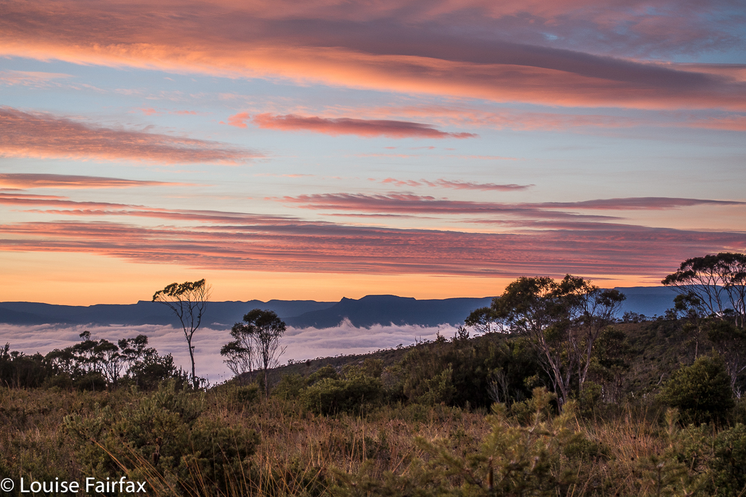
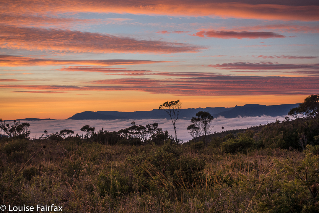
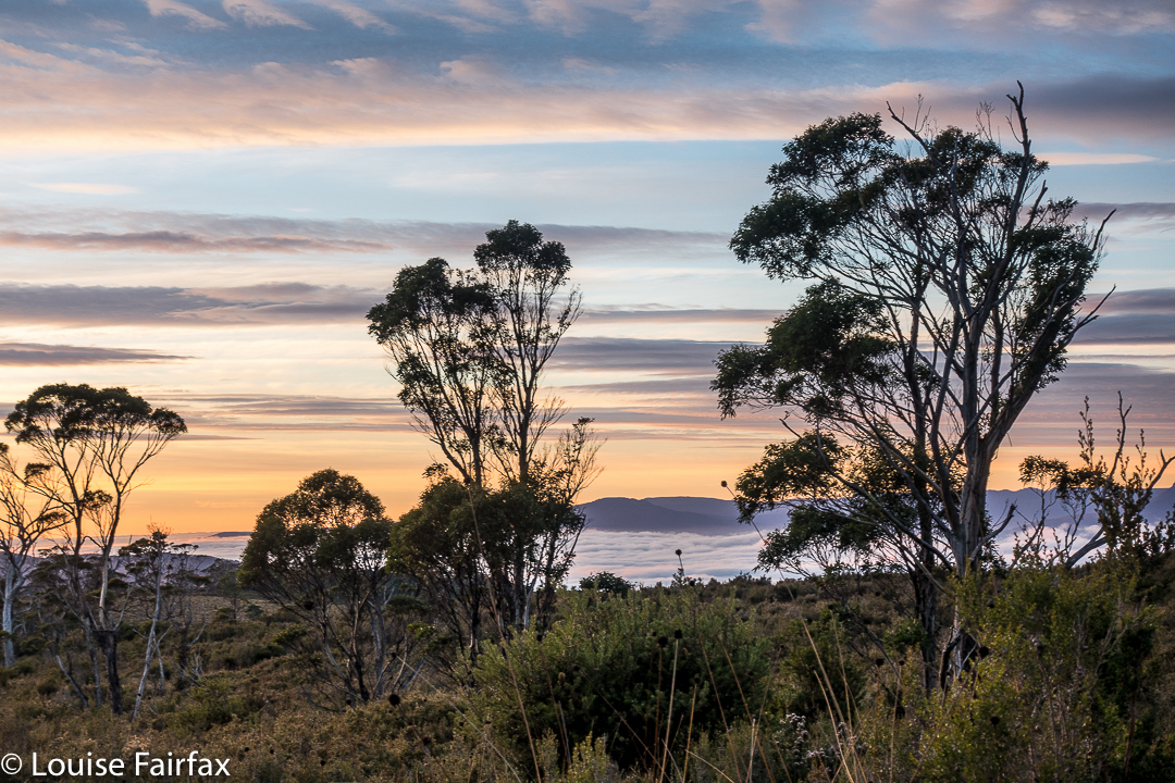
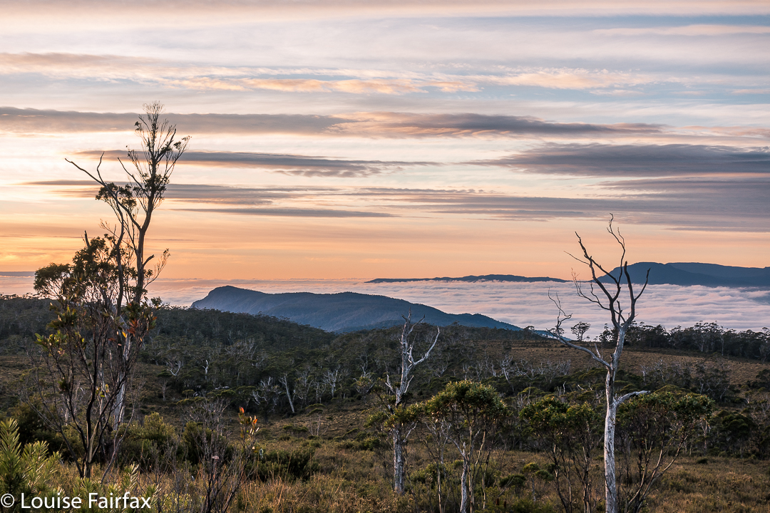
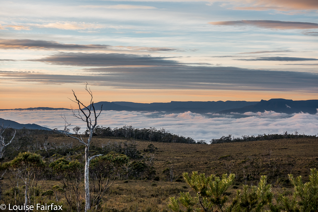
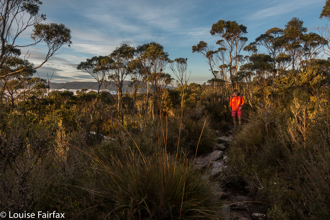
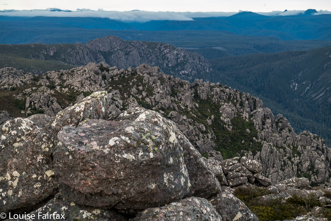
Sunrise next day was far better than one could ever have hoped for, especially given the thick clouds of the previous evening. We enjoyed the spectacle, and then breakfasted before heading for the actual summit, which was very windy indeed, but bearable. That said, it was rather an anticlimax after the start to the day. I am not enamoured of scenery that is almost a monochromatic, dull blue, which is what you get when the sun has disappeared once more behind clouds. On the descent, there were streams and fungi and fabulous conglomerate boulders with ferns in abundance to keep us occupied as we walked the very well-graded track. Lunch at the Raspberry Farm was, as ever, delicious.