Legges Tor 2017 Aug

Legges Tor  20 August 2017.
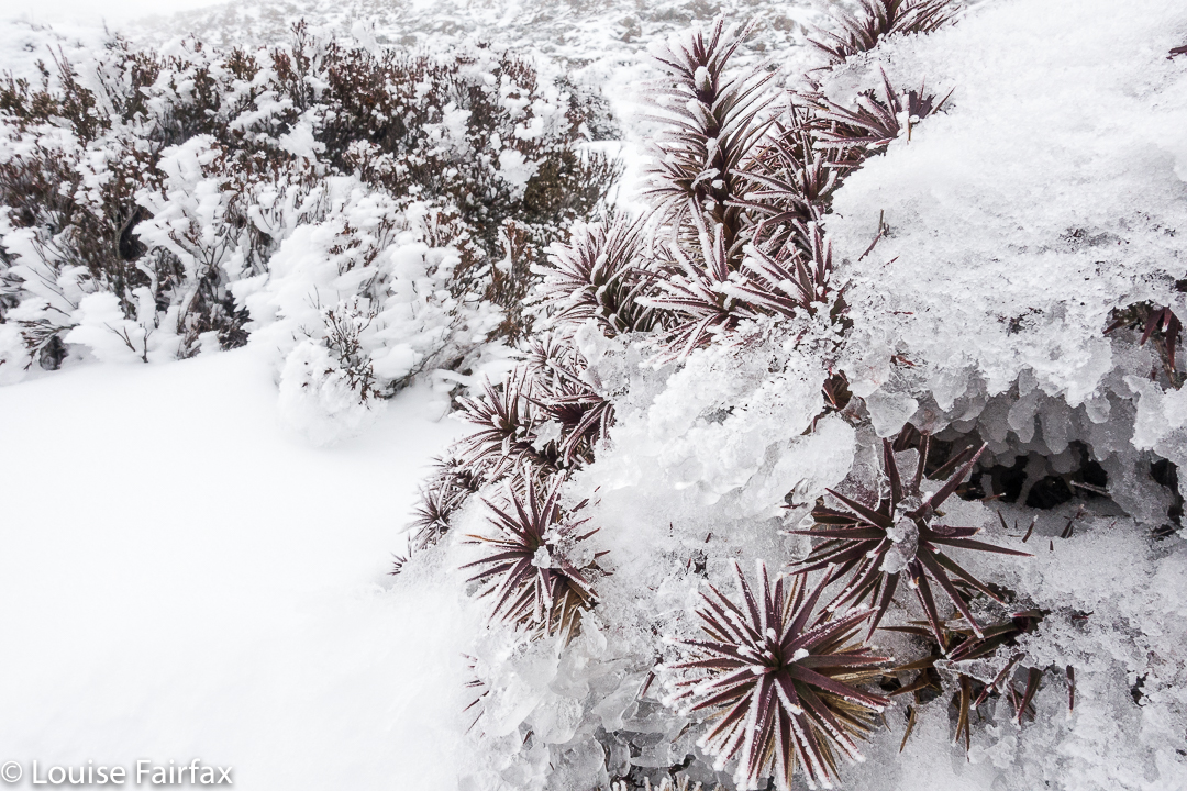

Does going to a place at roughly the same time two years in a row turn it into an annual event? I hope so, ’cause I’d really like to think of our winter summit of  Ben Lomond (Legges Tor, as the particular high point on that massif is known) as a yearly occurrence.
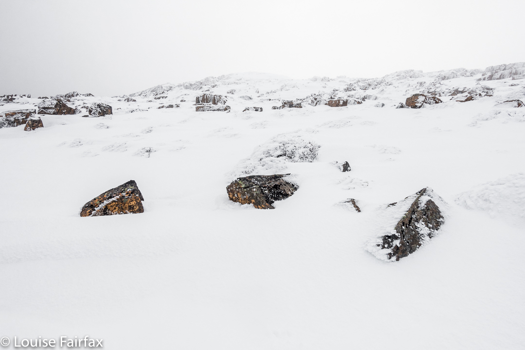
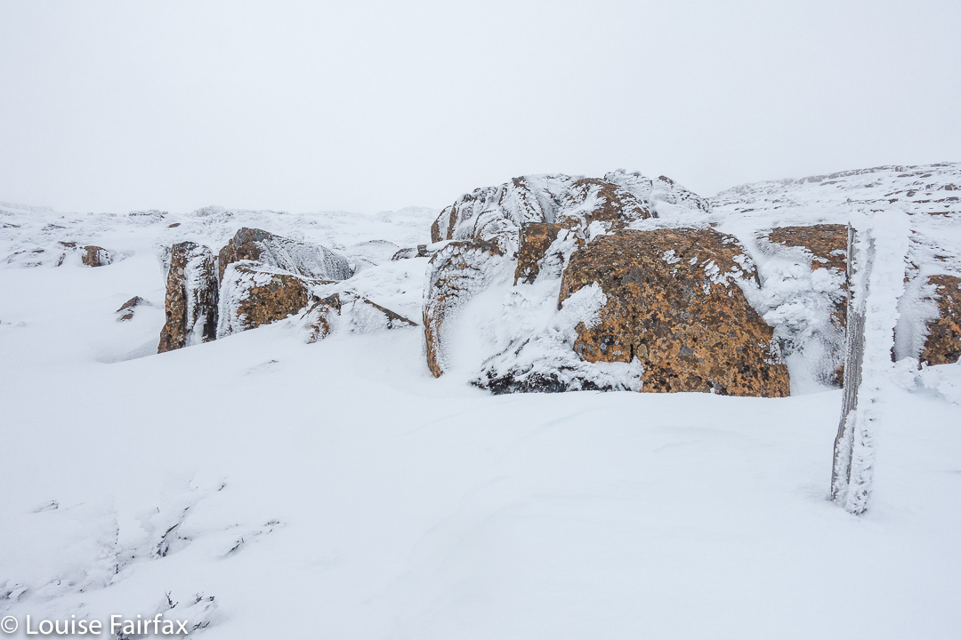

It feels so high up there. You are on Tasmania’s second highest point, and you can somehow feel it – which is good, as each time we do it, we can see nothing much beyond the nearest boulder. You sense your height, your exposure to the elements, the fact that there is nothing of your height anywhere to the perceptible east or west. If you drew a line due west, the first point as high as you would be in Argentina. If you drew it east, it would be Chile. Directly south, there is nothing, and directly north, … well, I am still chasing that one.
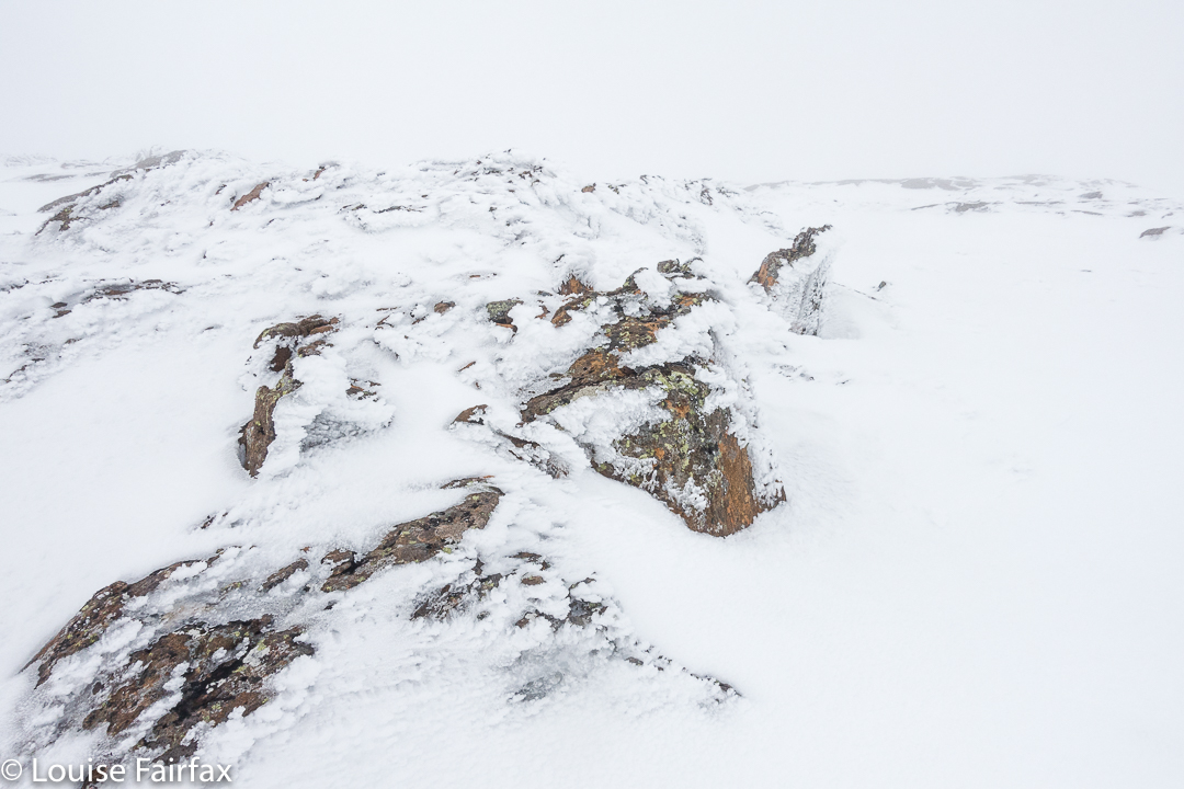

Kosciusko is one degree further east, so you would bypass it, and proceed north, I can only assume until you hit New Guinea. You may have to get to Russia before you get something as high, and even then, I am not sure of exactly what. I am still trying to find out. Work in progress. If I get some knowledgeable information, I’ll update this post. I’d love to have this exact, as it greatly interests me. Google isn’t being very helpful. The point is not that Legges Tor is a whopper in terms of height, but that it is exposed to the elements up there, and the prevailing winds coming in from the west are unhindered in their path from America to us.
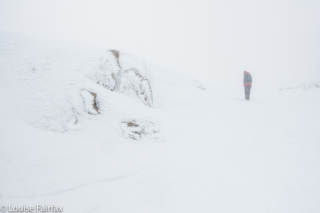
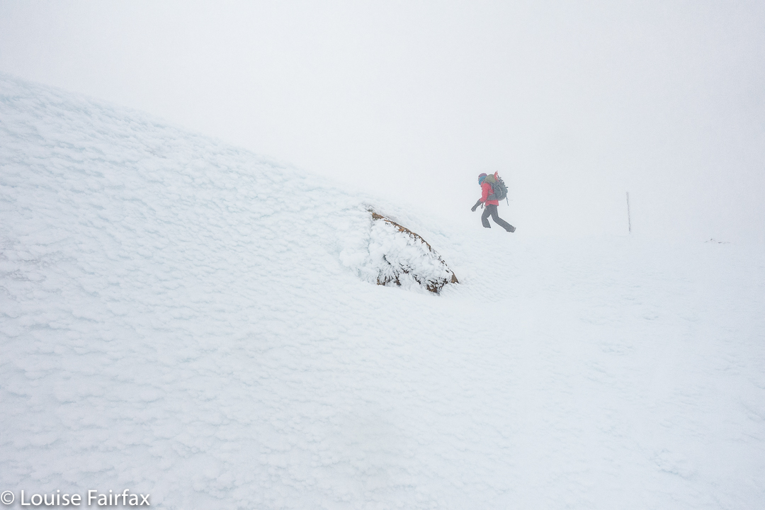
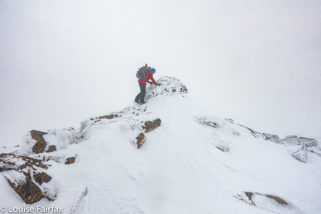
And the real point is that summitting it in winter is jolly good fun!

Walls of Jerusalem 2017 Aug Snow

Walls of Jerusalem in Snow. 19 August 2017


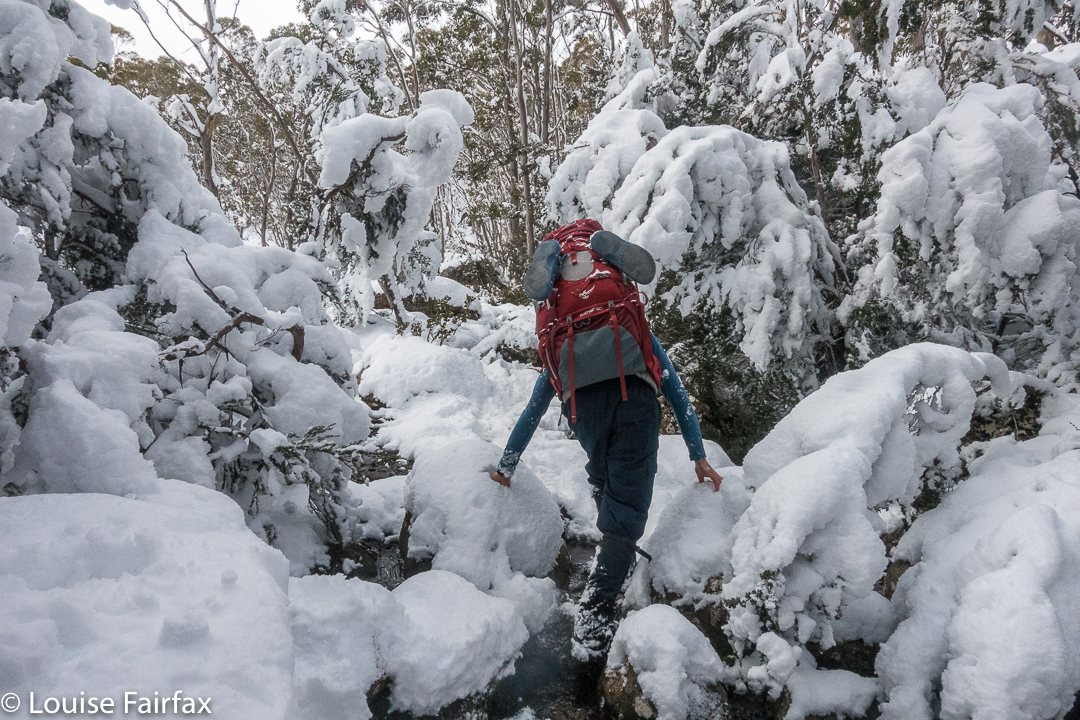
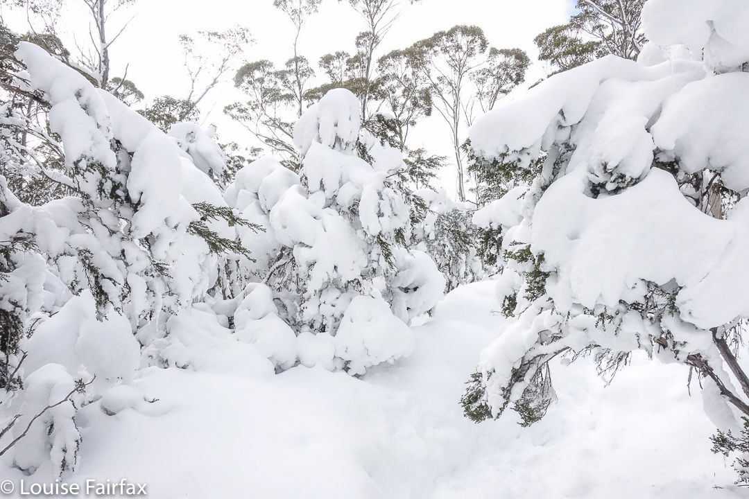
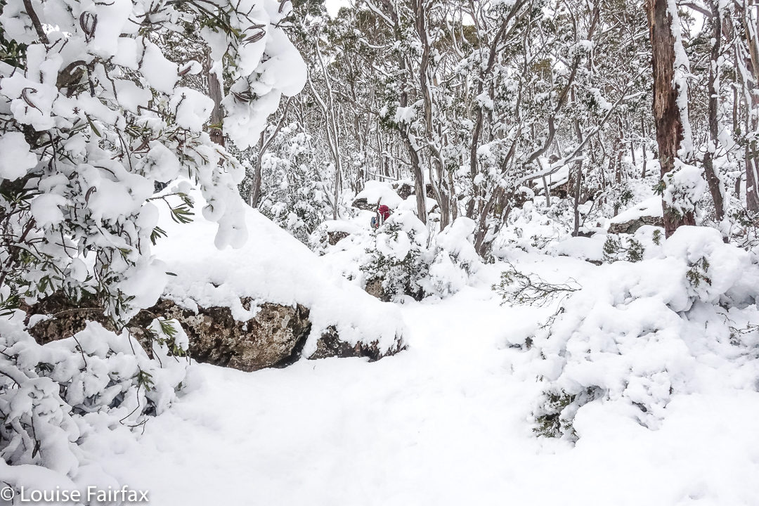
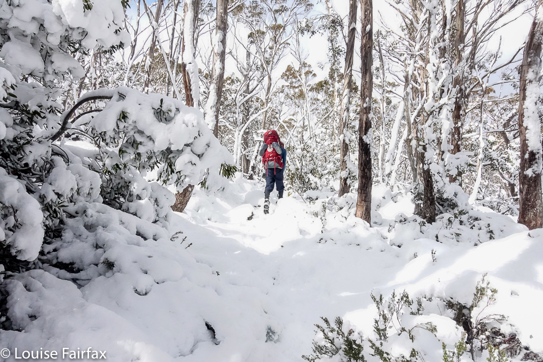
We have been to the Walls a few times in winter, in glorious snow, but never have we seen it as tantalisingly lovely as it was this time. We encountered snow well below Trappers Hut (which is normally our snowline), and were in a fairy-wonderland long before we reached that cute little rest point.


If you think that pack of his looks huge and I am a mean wife making him carry so much, please be reassured: my pack was much heavier than his, and I had the shared-type items for the two of us. I have taken huge measures to make myself stronger as he becomes weaker so we can both keep going.
My husband had indicated after last week’s successful foray into white wonder that he felt he was up to a weekend walk to the Walls, so we acted accordingly. However, Parkinson’s is a fickle disease: this week you can be fine (relatively speaking), yet next week, you’ve gone distressingly downhill. This week was not a good week, and he struggled badly. The further we penetrated into the white wilderness, the less coordinated he became. His pace slowed to a virtual halt.


I got very embarrassed, as we were holding the others up dreadfully, so, at lunchtime, I regrettably pulled the pin and took us out, waving wanly as the others headed off to Herods Gates and where I wanted to be.


We began our path downhill, the weather making my decision easier to bear, as the clouds were amassing. My husband’s spirits picked up considerably as we descended, and we had a happy afternoon, figuring we’d managed to be in the beautiful snow for the best part of the day anyway. However, as we walked before lunch, I knew I was looking at my husband climbing in snow with a proper pack on his back for the last time. We have had many sad “last times” since his illness has taken control of him, but this is one of the worst, even though it is not unexpected. At least he can still do daywalks in the snow. For now.

Meetus Falls 2017

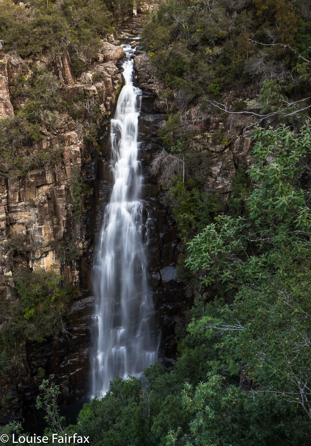
Meetus Falls 16 Aug 2017
It has been raining for ages. Where I park at the gorge, the water was so high that the huge skip garbage bins were floating, and my car was an island, out of which I had to leap in order to keep my feet dry. (Funny that no other people seemed to try this method of parking). Surely this was a great day to find the Lost Falls (that only flow under such conditions) and their nearby neighbour, the Meetus Falls.


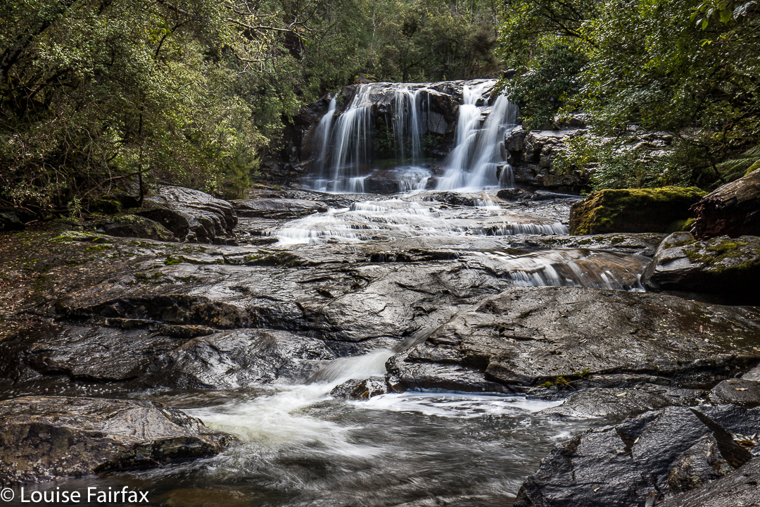
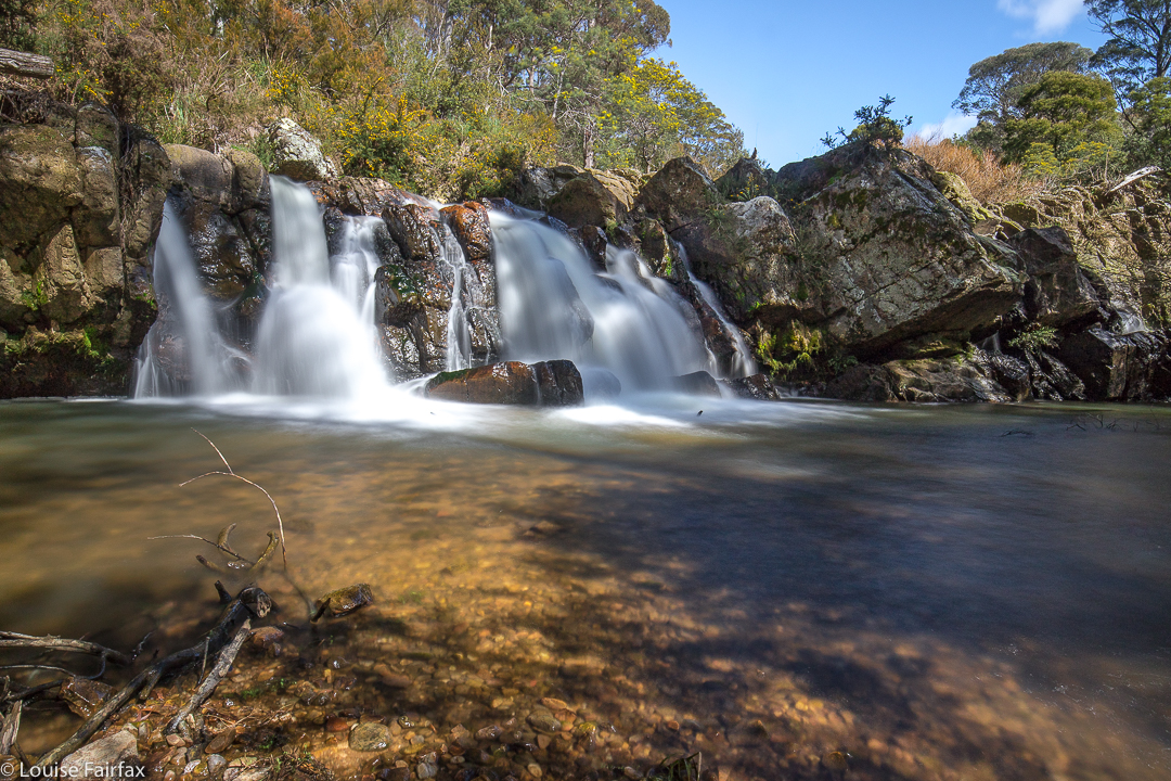
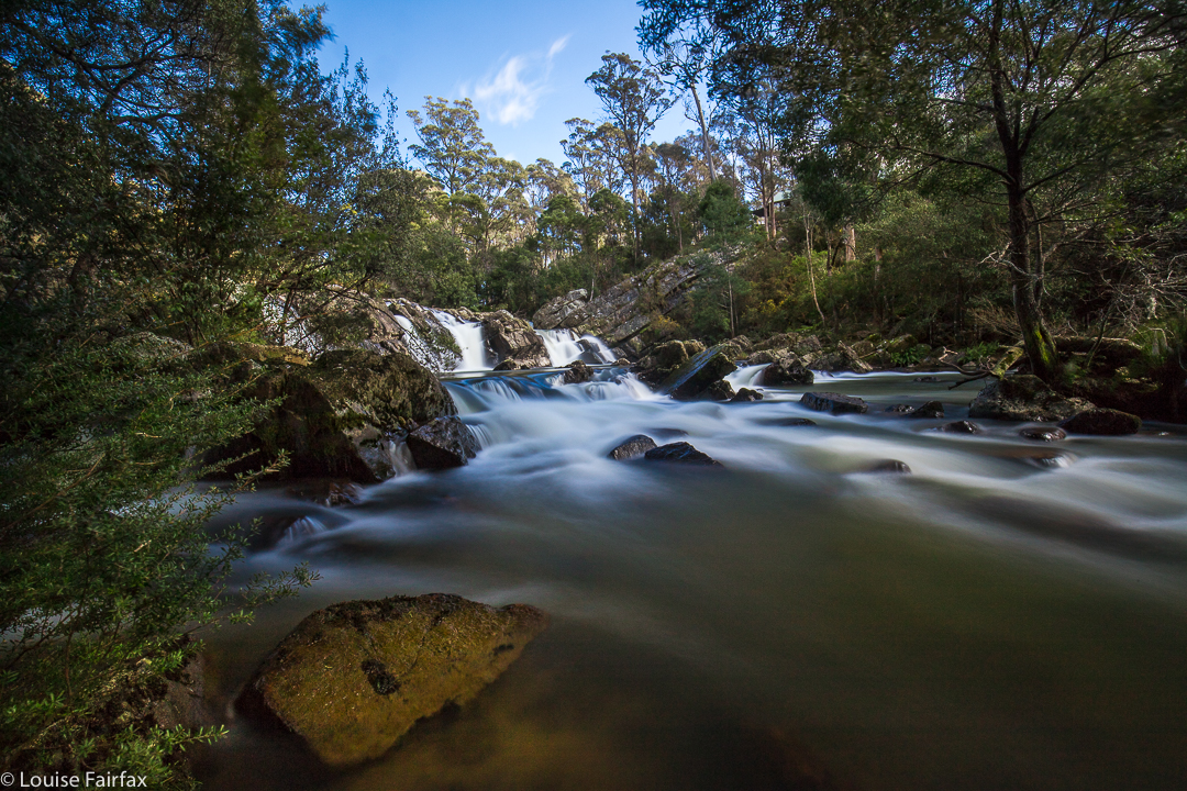
Above are some beautiful cascades that are below the Meetus Falls proper, on the Cygnet river.
The Lost Falls were a lost cause (http://www.natureloverswalks.com/lost-falls/) – that is, we found them, but they lacked water. However, the Meetus Falls were flowing nicely. Tessa (dog) bagged both, as did my husband. And they both reached the river at the base of the falls. The path down had been very muddy and slippery – so much so that I led them on a quasi bushbash on the way up. It wasn’t really a bushbash, in that I followed what must be a path from yesteryear, still mostly discernible on the ground, and much easier than the route we were supposed to be on, which was mud with no catching points.


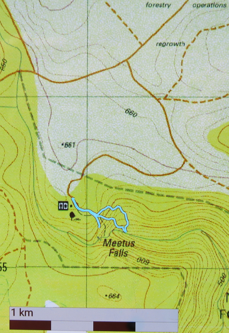
To reach these falls, drive to Campbell Town, and turn east along the Lake Leake Road. Continue on past Lake Leake (and Lake Road that leads to it), and past Kalangadoo – the petrol station cum general store further along on that road – until you come to a huge intersection with traffic islands to each side. For Lost Falls, turn right and drive “4 kms” to their turnoff proper (see the blog on Lost Falls for exact details). For Meetus Falls, turn left (north) and drive 11 kms. A turnoff will then direct you right to the falls. At one stage in the final section there is a Y-fork with no signs. I chose right (see map below) and found the falls. On the return, when heading back to the Lake Leake Road, I came upon another unsigned Y-intersection which presented me with a choice I didn’t feel like making. I chose left and found the highway, but kept wondering if I should have taken the other alternative. I was very pleased to find the traffic island and advisory hut that signalled the approaching major road. I was starving by this stage, and didn’t feel like being delayed by error.
Lunch at Zeps was as delicious as ever, and made more so by my extreme hunger.


Just for your interest, the path going down (the more northerly section of the circuit I made) is the official one. The more southerly part was, firstly, me getting a better view, and then us going straight back up rather than re-using the mudslide. The conditions were far too slippery for me to attempt a traverse over the rocks to the actual base of the falls. Another day, a different pair of boots.

Montana Falls 2017 Sept

Montana Falls 10 Sept 2017


Montana Falls Upper
I recently published a blog labelled “Montana Falls”, only to be informed by people far more knowledgeable in the matter of waterfalls than I am, that I had been to, and captured, the cascades.
(See http://www.natureloverswalks.com/montana-cascades)
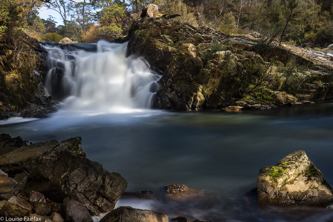
My friends told me how to reach the real falls, and so I returned to the area last weekend to see what I had originally wanted to see. These falls can’t be reached by the Salmon Farm (41degrees south). The cascades can, and are well worth a visit, but they are not the falls.


Montana Falls Upper
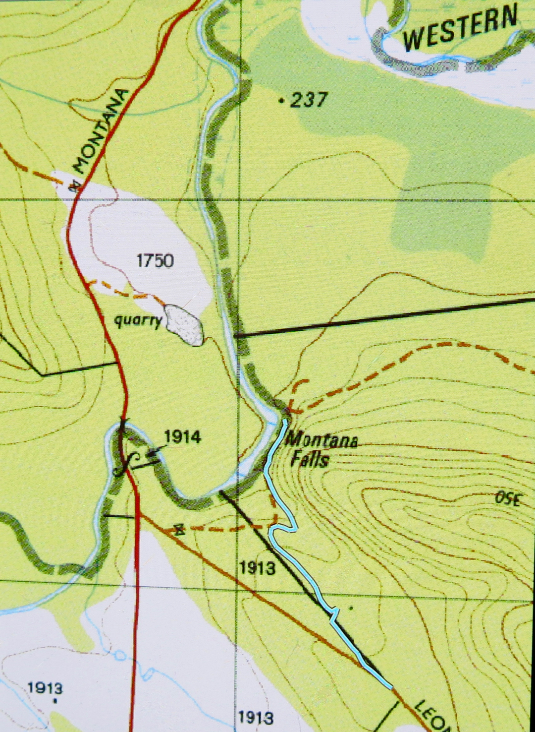
To reach the falls, continue driving past the turn off into 41 degrees south,  (having turned left down Montana Rd (C164) in between Deloraine and Chudleigh) until you cross Western Creek. The Needles ridge will come down to meet you from the right at this point. The falls are on Western Creek, and not far from this point, but you can’t just park and follow the creek down, as this is private property. Continue driving, turning left down Leonard’s Rd for about a kilometre until you reach a blue sign that says you have reached Long Ridge Regional Reserve. I just pulled over to the side at this point. It occurs where the road curves about ten degrees from 180.


Montana Falls Upper
There is a black line on the map, marking a property division between private and public land. I was expecting a fence, but found instead a path-cum-road which did not go in a straight line, but which had pink tapes that lead me to my goal. On the way back, I walked the straight line, which brought me out a bit short of the car. Just follow the pink tapes. It is better to do the further (lower) falls first, as then the upper ones are easier to see on the way back.


Montana Falls Lower
The bush was quiet and peaceful; the banks of the river, green and inviting. It felt very restorative to be doing this walk, even if it was only twenty minutes in each direction. It is winter; it was snowing in the highlands above me, and yet I found the waters strangely tempting.


My return route (I visited the upper falls on the way in. You can see them there on the map).

Morriston 2017 Jun

Mt Morriston 10 Jun 2017.


The way there was definitely more fun than the climb
Mt Morriston is more of a navigational task than a serious climb – and the challenge I’m talking about is the car one before the foot part begins. Once you’ve parked in the right spot, it would be pretty impossible not to reach the summit. Don’t expect a good car: hike ratio, either.


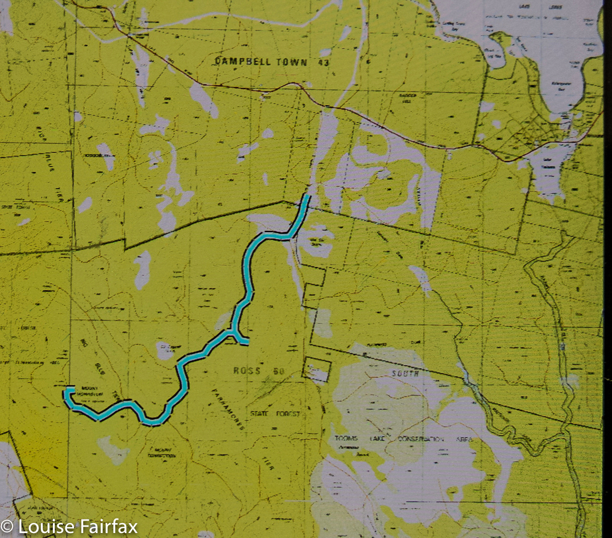
Because I knew this little fact about Morriston, I decided to take it in as we drove past Lake Leake on our way to Triabunna to catch the Maria Island ferry. And because the difficult part is negotiating the forestry roads (some of which are not mapped), I have included the whole car trip from the main road to where we parked in the map below. If you want this as an actual gpx file, feel free to contact me.


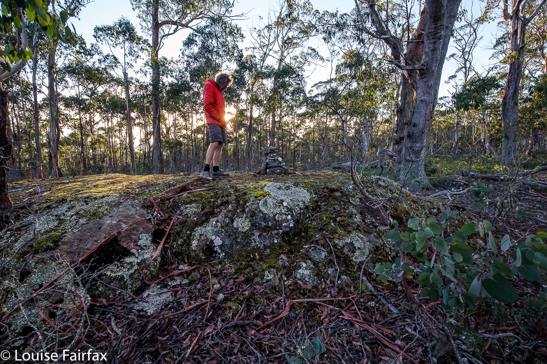
Summit cairn
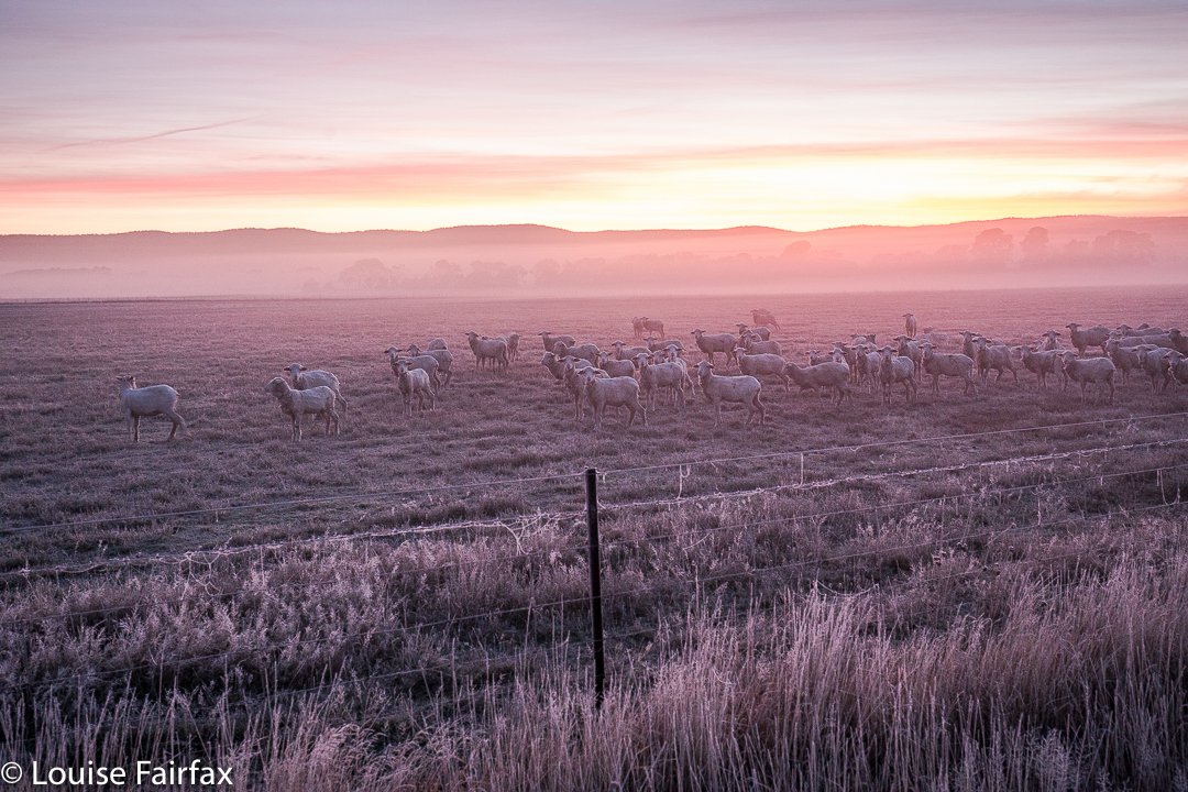
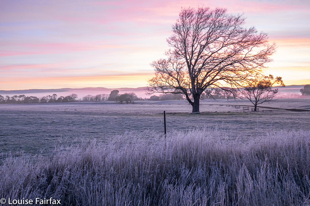
I am ashamed to admit that this “climb” took us about two minutes in each direction. As you can see from the photo, Bruce is very casually dressed, having not even paid the mountain the courtesy of a pair of gaiters. It had been so frosty on the way there that I thought the bush could be white and slippery, but the trees prevented that. I wasn’t really in the mood for a white march that morning, so I was in luck. Meanwhile, having been spared that ordeal, we sure did enjoy the spectacle of a pink icy landscape at sunrise in the midlands on our way. (It was minus three as we left the car to conquer this heady peak. Don’t be fooled by Bruce’s shorts into thinking it was mild weather).


Bruce looking rather casual on top.


Sorry about the quality of this map. If you need the gpx, as said, just contact me.