Ferntree Falls 2016 Nov

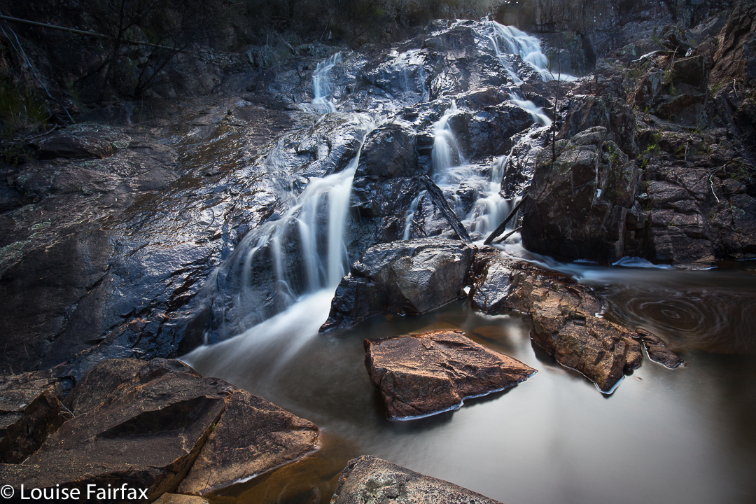
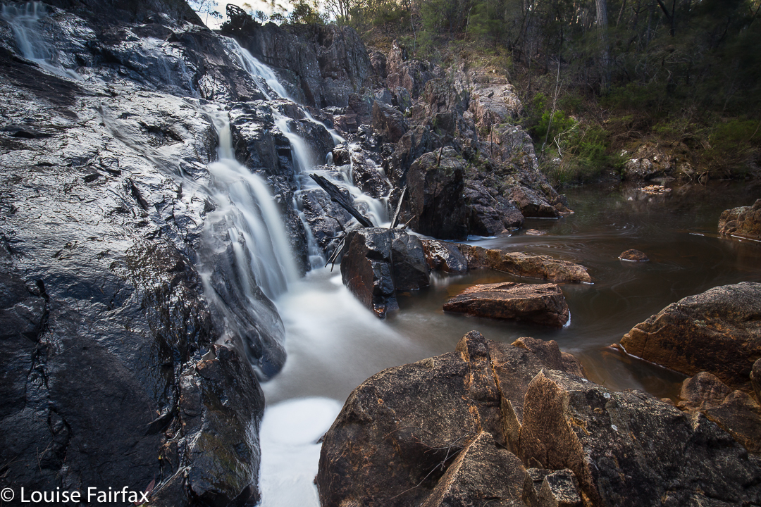
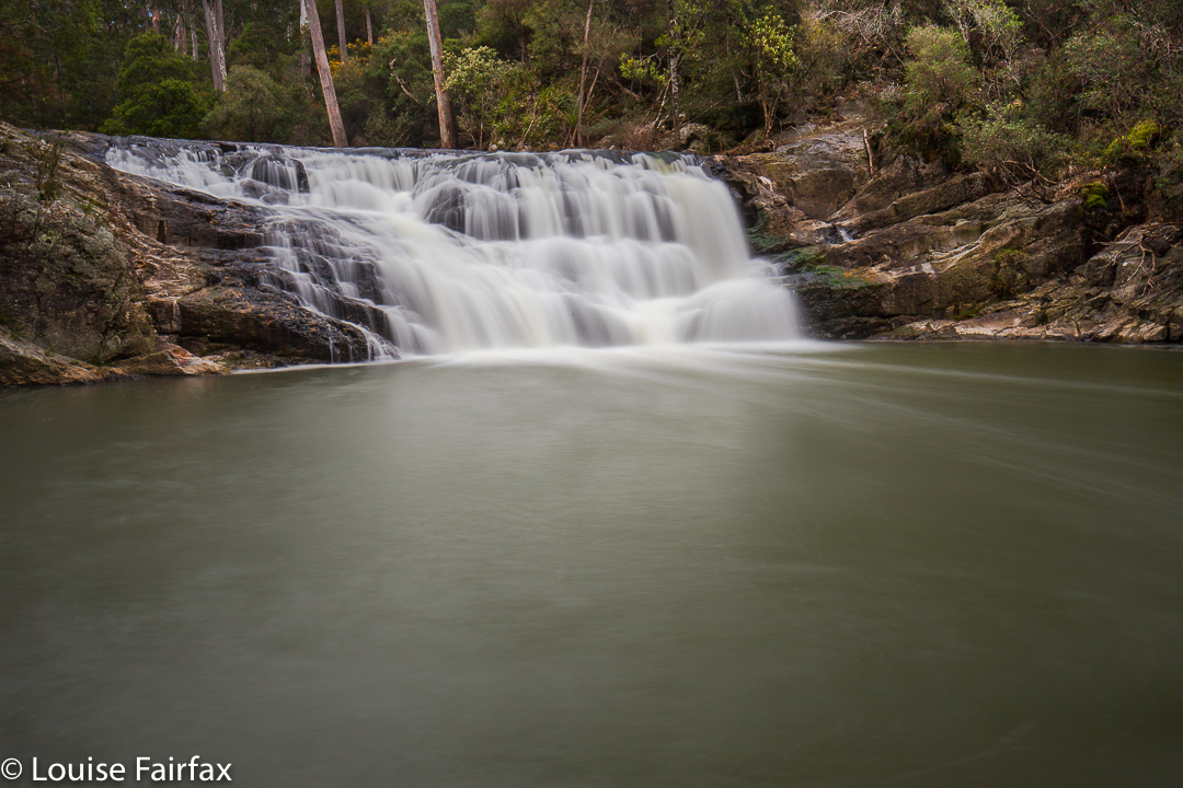
Ferntree Falls near St Helens Nov 2016.


Ferntree Falls
The day we visited Ferntree falls, we had already been to Meadstone Falls, and it was nearing dinner time, but I wanted to take in one more (these) before we stopped. Off we set, out of St Helens, along the Argonaut Road. After the bitumen ended, we turned left into Trafalgar Rd (a gps makes the unsigned Trafalgar Rd much easier to find. There are several other turnings left, none of which is signed). After a while, Trafalgar forked. On the left, I could see houses; on the right, the land dropped away to a creek, albeit not the creek the falls are on. We turned right.


Ferntree Falls: a delightful surprise. I thought we knew St Helens really well, but apparently not well enough to know about these.
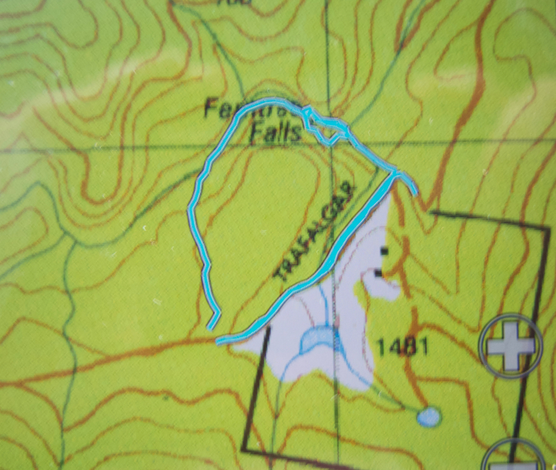
Unfortunately, I didn’t have any instructions. Had I had some, I would have read that one parks here. No matter. Our way was actually more fun, as we had to navigate ourselves to the falls, and we got in a nice little circuit of over a kilometre, rather than just a tiny 200m track. We drove over the spur ahead and parked slightly beyond its crest, following a shallow gully down to meet the main river which we followed to the falls, past delightful rock pools. Climbing down on the right was very steep and unstable. I had parked my husband at the top while I gave it a go. Underneath, I scampered easily across the river and up the other side on a tiny path kind of thing, so the other side is definitely the go. My husband was able to negotiate that one easily to join me at the bottom.
Our route is on the map below. The slight gap in the circuit is where we parked. I deliberately stopped tracking to make that clear.

Lobster Falls 2016 Nov

Lobster Falls near Chudleigh / Mole Creek.
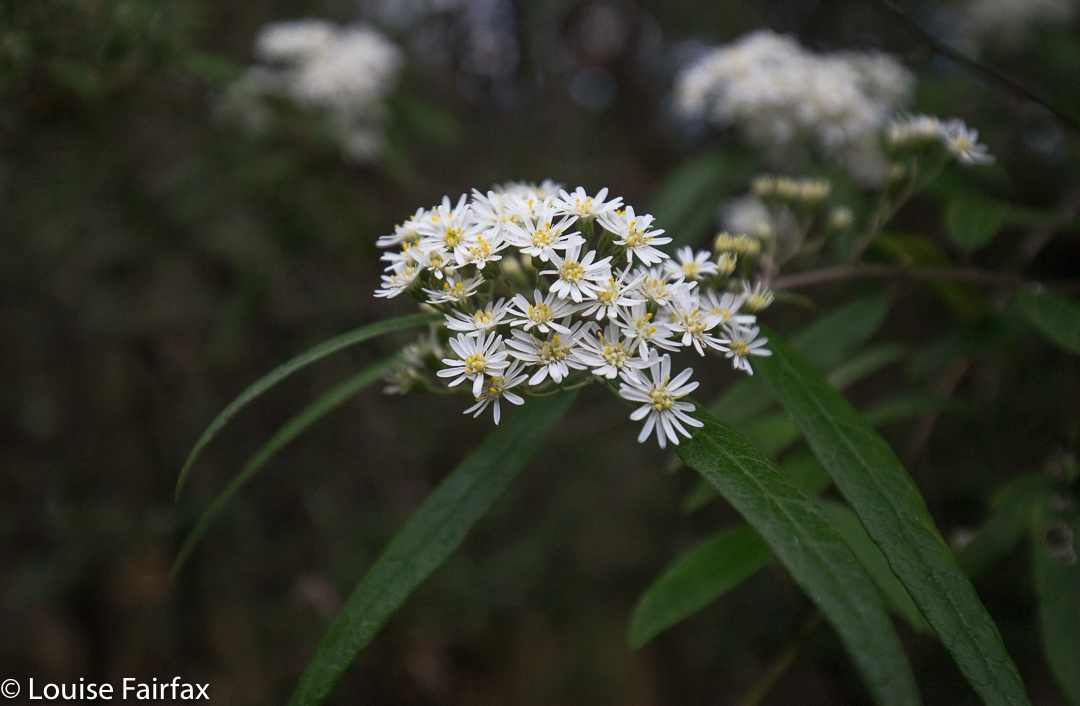
Olearia linata
Perhaps you don’t think a visit to the Lobster Falls is an adequate – or even likely – substitute for a multiday trek in the South West connecting glorious mountains, but, alas, there are some days when you have to admit defeat, and today was one of them. Unfortunately, the combination of my bronchitis, which has now been keeping me company for five weeks, and the forecast of heavy rain, driving winds and gelid temperatures on high didn’t seem like a happy marriage. I backed out before walking down the aisle, deciding that a little run, some Pilates and a walk to these as yet unvisited falls would be a healthier option.

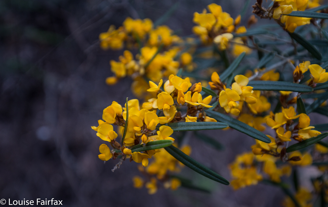
Oxylobium arborescens

 To get to the start, we drove along out of Deloraine in the direction of Chudleigh. After seeing a sign to the Needles on the left, I knew to look out for a blue and white sign to the Lobster Falls (which are on the Lobster Rivulet) to the right. Near that sign is another one which says no cars should proceed beyond that point. I ignored it for 50 ms to get the car away from the main road. There was a clearing there for parking.

Lobster Falls

Something VERY heavy has been down the road that formed the early part of the walk, making the ground exceptionally soft and causing huge indentation. There was a particularly gooey section – which lasted a mere 70 ms – where going through the bush was more pleasant than being on the road. When Tessa (dog) sank in up to her stomach (portly) she, too, took the firm bush option. Don’t be put off by this. it is short lived, and the bush is quite open at this point to allow easy passage.

Bauera rubiodes
 At twelve minutes from the car, we came to a metallic white arrow with pink and blue ribbons attached, pointing to a track to the right leading off this “road”. Now, a very pleasant route became an exceptionally beautiful one. In four minutes from the arrow, we rounded a corner and found ourselves looking down on the Lobster Rivulet which we now followed to the falls. Overhanging the path were myriad wildflowers in yellow, mauve, rose, light pink and white – bauera, boronia, olearia, acacia, oxylobium and more. There were even plenty of orchids (caladenia alpina).

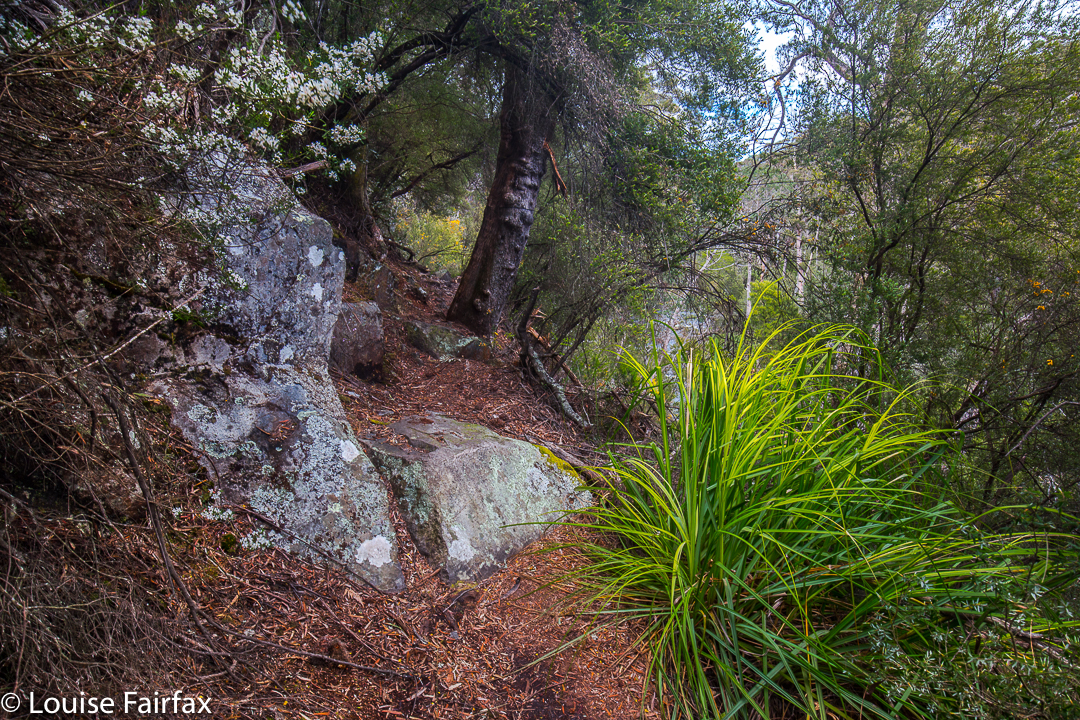
The path (taken on the way back)
 In sixteen minutes from that corner (and thus, about half an hour from the car), in a pace that was neither rushed nor a saunter – just a nice steady walk – Tessie was having a dip and I was setting up my tripod. Bruce has Parkinson’s disease, so elected not to come all the way down to the water’s edge, but the section that was narrow with a drop had plenty enough bushes to take away the scare factor for him (well, he was probably taken to his limit, but did not go over it). He could see the falls perfectly well from where he waited, so was not denied much by not doing the final twenty metres steep descent.

 I was now starving. Time for an ice-cream at the Honey Farm to tide us over so we could get all the way to the Raspberry Farm for lunch. Humans and dog enjoyed the outing.

Mersey Crag 2016 Oct

Mersey Crag via the Back Door. October 2016

When planning this trip, I castigated myself: Why hadn’t I climbed Mersey Crag when the road to it was somewhat open, and when I was so very near the summit? On two occasions I had been within cooee of the top, yet had not gone there because I thought access to it would always be easy, so why rush things? Why not savour the moment and do it all by itself sometime? Why not? Because floods would come, ruining approach roads and denying us all any kind of access to the area, possibly for years.

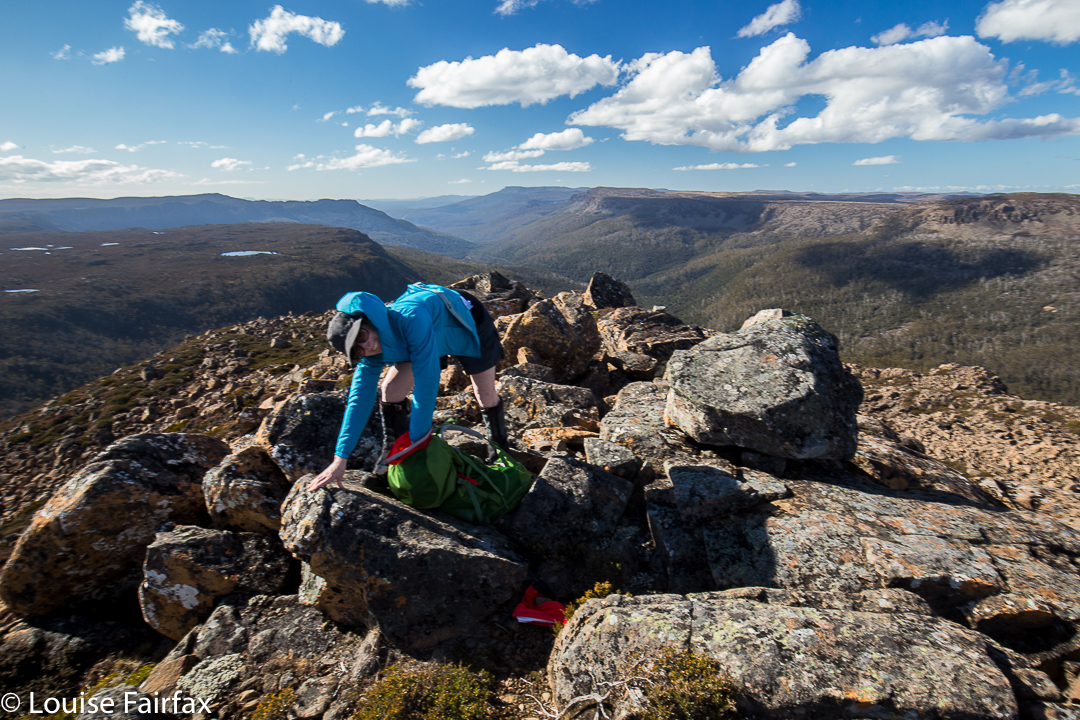
Mersey Crag summit, looking down the Little Fisher Valley

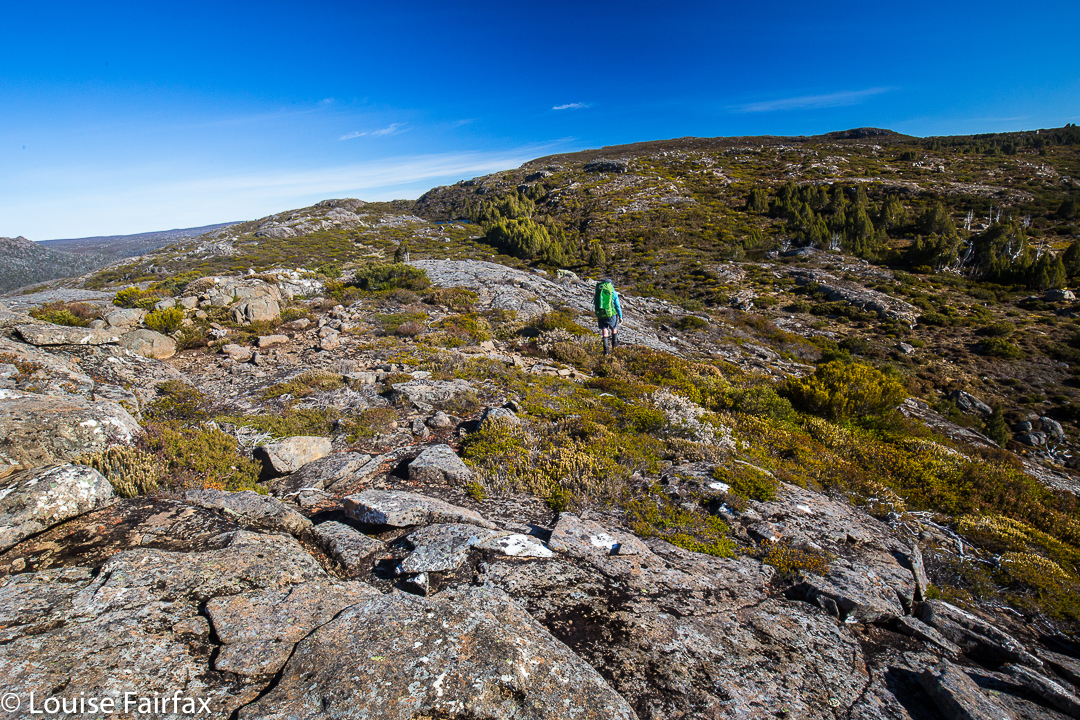
So, now I thought I was doing it the hard way, because it was a very long way in, and I thought I was not doing it the beautiful way, because I do so love the Rinadena Falls. Little did I know. Alright, it was a long way in, but we summitted on the first afternoon, so not too long, and what surprised me most of all was the extreme beauty from the moment we rose above the bushfire marks on the Blue Peaks track.

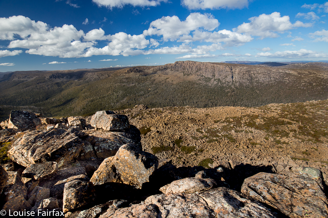
Mersey Crag summit looking across to Turrana Bluff

We reached the base of Blue Peaks in an hour and a half, but were focussed on our far-flung goal, so resisted the temptation to lose time by going up. We would stay focussed on our ultimate goal for now, and not climbing this first peak would justify another visit to this area that we were already falling in love with from the moment we entered the zone of lush cushion grasses with narrow, pure streams running through. On we continued, not even stopping for a break.

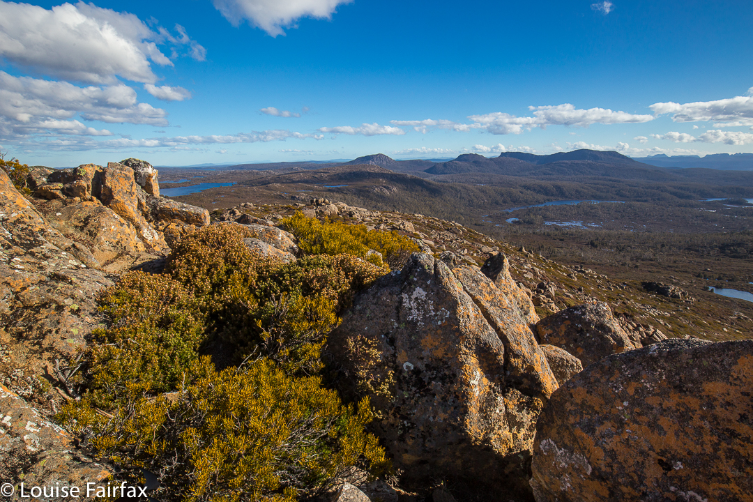
Summit area looking to the Walls. You can see Mt Jerusalem, The Temple, Solomons Throne, King Davids Peak and then, further back, mountains like the Acropolis and Geryon.

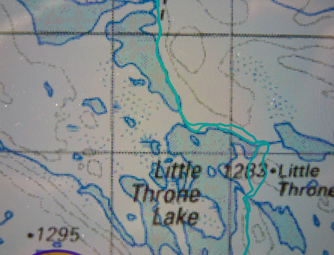
The official pad finishes here, but a rough hint of a route around the first two lakes – one followed, we suspected, by many fishermen – continued until we needed to cross the outlet stream separating Little Throne Lake from Grassy Lake. All this time we had no idea of how soggy things were going to be up here, or how many detours we were going to have to make around tarns, or, for that matter, how deep the many, many creek crossings marked on the map were going to be. Here was our first real creek. Hm. Up and down we go, looking for a place to cross. It is mostly wide and deep and flowing quite swiftly. We find a possibility, but it is risky. Will I fall in and get everything wet?

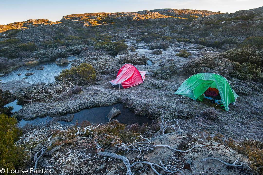
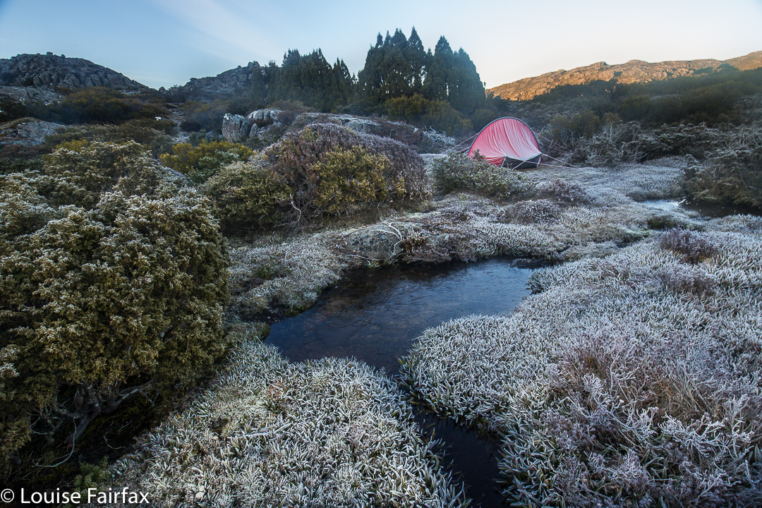
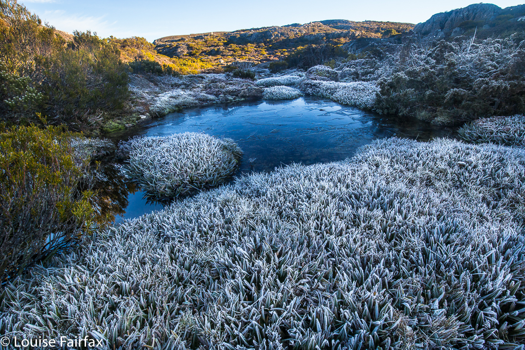
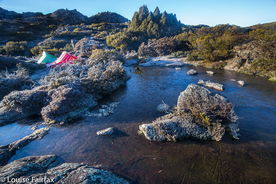
The frozen tarns of our tent site

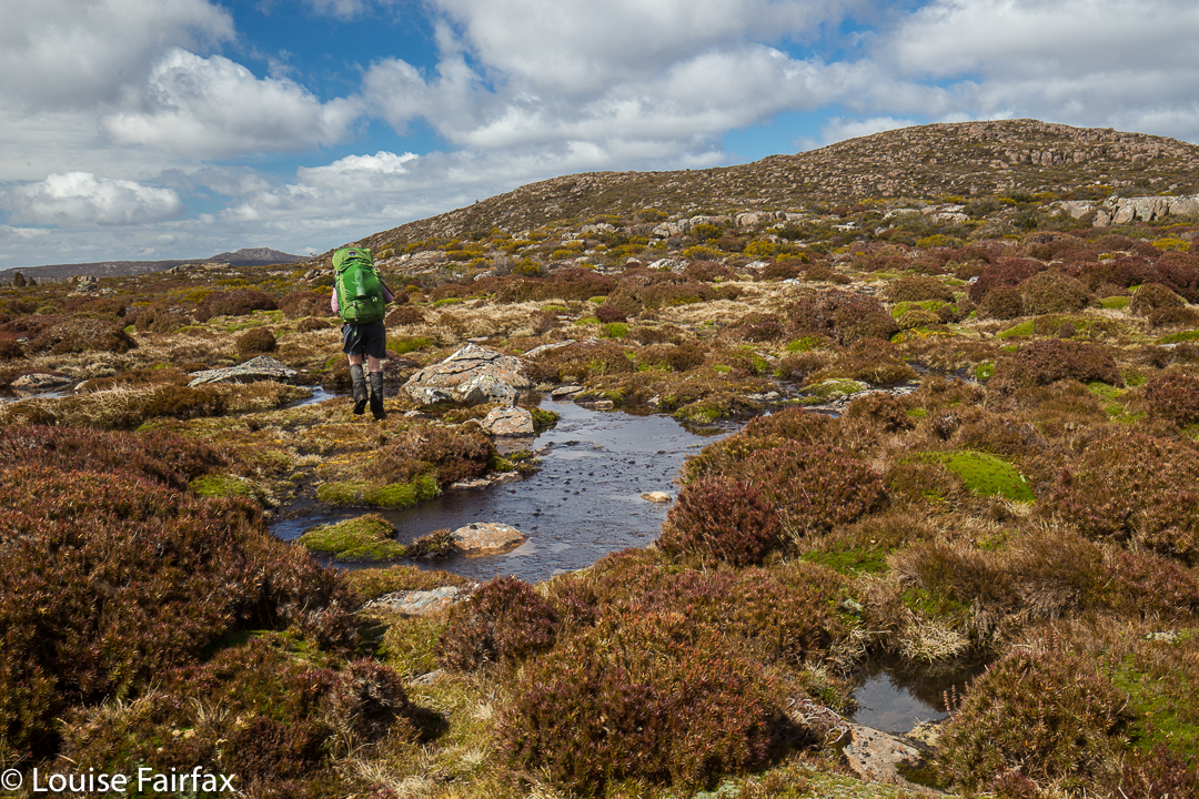
Being a shocking pessimist in such matters, I opt for a double crossing, first with my pack, and then with my precious camera. Believe it or not, I even took off my jacket and jumper in case I fell in and wet them. Unscathed, we sat on the other side of the river and had lunch. Little Throne was just behind us now. From here on would be genuinely trackless wilderness, pure freedom to choose our direction and path.

Morning glory
We set bearings from our paper maps, but also plotted our course on our gps systems to check our progress, and off we set, around Little Throne, past nameless bumps of great beauty, offering excellent views, and past thousands of tiny tarns, all sparkling in the afternoon light. We just adored it. All further creek crossings and tarn skirtings were problem free, and we were happy with our progress.

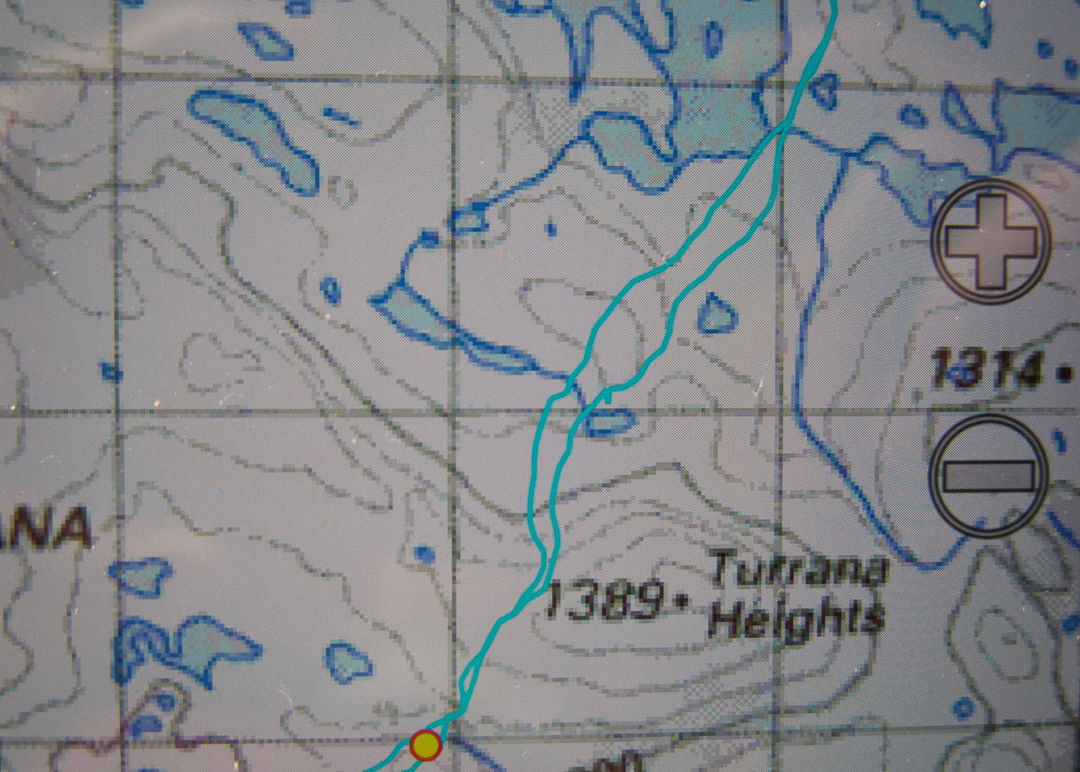
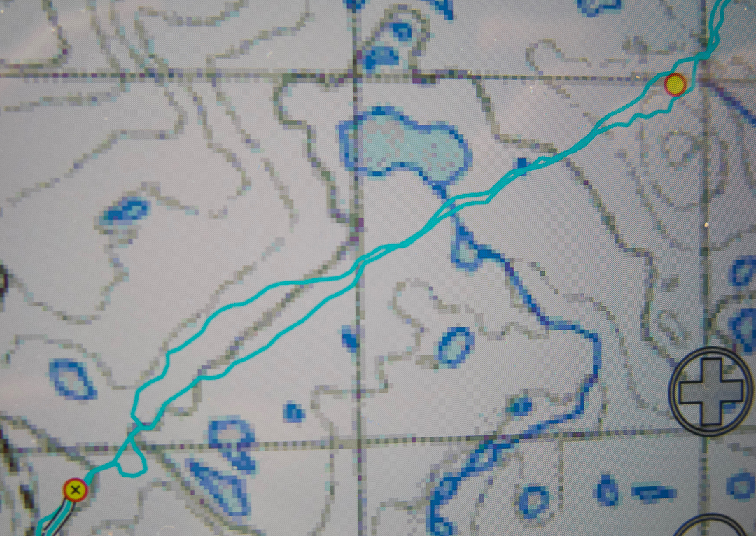
On Turrana Heights, we reassessed. I had originally suggested that we go for four hours with the full packs and then summit from there, but I was so happy with my pack on my back I kept pushing for further. Having the packs with us reduced all stress about whether or not we would make it back to where we had dumped them. We have both been quite sick in this last week. Angela was off work with a virus, and I had been to the doctor’s the day before with a combination of bronchitis and asthma. I found it hard to read my body under those conditions, and my pack meant security. If I hit a wall without notice, then everything I needed was right there with me. Angela was fine with this. On we continued until nearly four and a half hours, when we saw an irresistible spot just before the Turrana-Mersey saddle. It was now less than two kilometres to the summit, and only 3.15 in the afternoon. We could set up our tents here, saunter to the top and still be back in the light with no problems. Angela ate lunch part two.

Cresting the summit was very sweet. There are summits and summits, and this was a good one, as we had both held doubts about whether or not we could make it given the amount of water there might be to negotiate, given the distance, and the uncertainty of our health. When you doubt, the victory is felt more keenly. We had time in abundance now we were there and had our tents so close, so enjoyed the top, savouring the extensive view and delighting in all we could see. At a very leisurely pace, we ambled, almost reluctantly, back to our little tents.

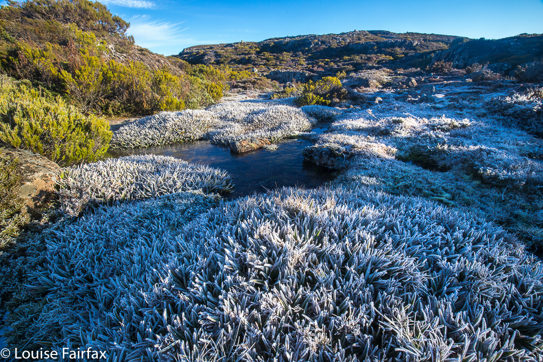
We had both been snug and warm overnight, having both elected to use our extra bivvybags. I had actually been a little hot and had stripped down during the night. It is testimony to these bags that we discovered in the morning that our tents were rigid with ice and the world outside our aegises was a sparkling, glittering white one. Enthusiastically I snapped the frozen tarns and sword-like pineapple grass. I had lugged my tripod all this way, but, sadly, was too cold to use it. I told myself sick girls have an excuse.

Back home we go
We swept the ice off our tents with brooms made from the scrub and slowly packed up. The only pressure for the day was our appointment with the Raspberry Farm for celebration cake, and there was no risk of missing that. We deliberately left unfinished business in the area, planning instead the next trip as we bypassed peaks that could wait for next time. What a glorious weekend.
Route data: Day 1, 20.35 kms +702 ms climbed yields 27.3 kilometre equivalents. Total of 7 hours’ walking.
Day 2, 14.55 kms + 410 ms climb gives 18.7 km equivalents. 5 hours’ walking.

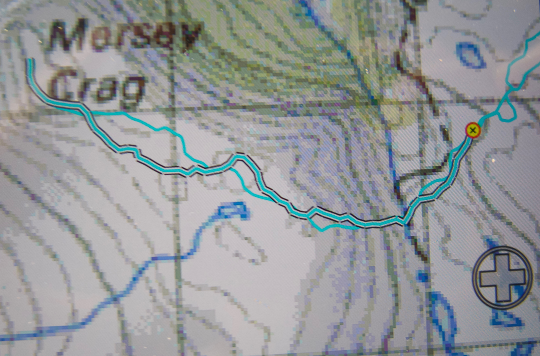
Total for two days, 46 km equivalents and 12 hours’ walking (this does not include breaks like lunch or morning tea). OK. We’re allowed to be tired. Here are the maps – rather a lot of them, as we covered rather a lot of territory and it is pretty complex (4 interconnecting screen shots).

From end of track to south of Little Throne (1:100,000)


Continuing SSW over the side hump of Turrana Heights

From the unnamed lump SW of Turrana heights heading towards the Turrana-Mersey saddle. The waypoint marks our tent spot.

Tent to Mersey Crag summit return.

Note, these are “only” 1: 100,000 scale, chosen to give the broad shape of the land without too much detail to confuse.

Spion Kop 2016 Oct

Spion Kop 2016 Oct

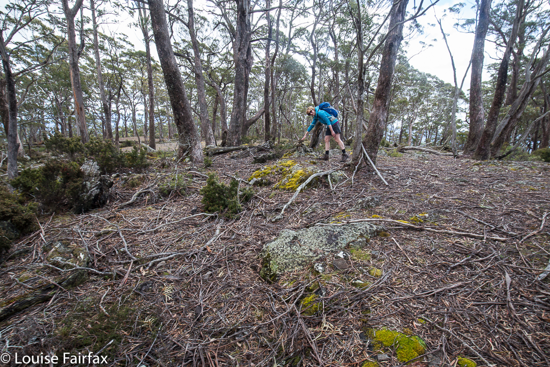
Spion Kop is a great mountain to climb if you are sick or about to be sick. You drive to within four non-taxing kilometres from the summit, have a pretty pleasant, low-key stroll through the forest, some of which is on a now-overgrown former logging track, and then a little scaling of some contours and you are there. I had been in bed for a few days leading into this walk, and Angela was about to get sick the next day, so this mountain was a perfect little excursion for such conditions. Rain threatened and materialised just before the finish, but even if it had come earlier, this is a short enough climb for that not to matter much.

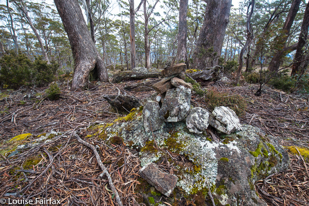
Summit cairn

Needless to say, it was not an exciting mountain, but it was still a different taste on the mountain smorgasbord.

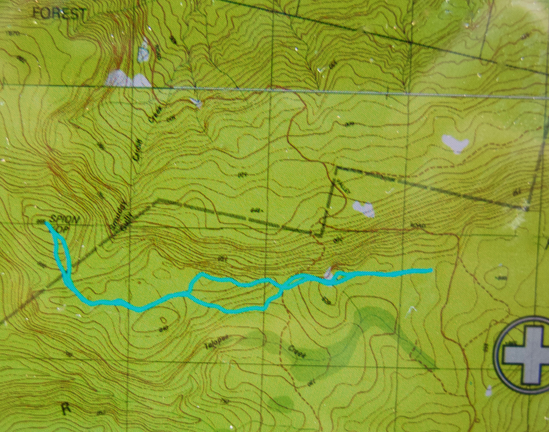
We climbed in using the road shown above that approaches from the north, winding around and ascending all those contours. We then took an unmapped offshoot that was going where we wanted to walk, but which ran out where our route starts. The outward route was the more northerly one; the homebound route found more old roads to pursue.

Kangaroo Island Wilderness Trail 2016 Oct

A thrilling start to day one.

What a welcome addition the Kangaroo Island Wilderness Trail (KIWT) is to our nation’s list of possibilities for long distance walking – and what better than a primarily coastal path. As any follower of my blog knows, I love getting out into “Type A” wilderness (no paths, no infrastructure: just pristine nature), but that does NOT mean I spurn paths and trails; what I especially love is a track where everyone is doing the same route and so shares a common pilgrimage.
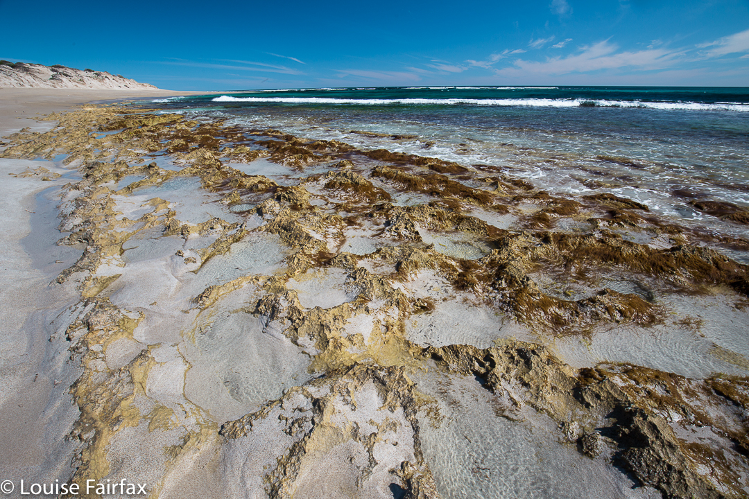
The scenery on day two was my favourite

I once walked a long distance trail of my own design in Grand Paradiso National Park (Italy), where there were abundant paths and possibilities, but not one person I met shared my destiny. The instantaneous camaraderie of a set route was never there, and this track holds no place in my emotional psyche. A route like KIWT offers the chance to meet fellow travellers of shared interest.
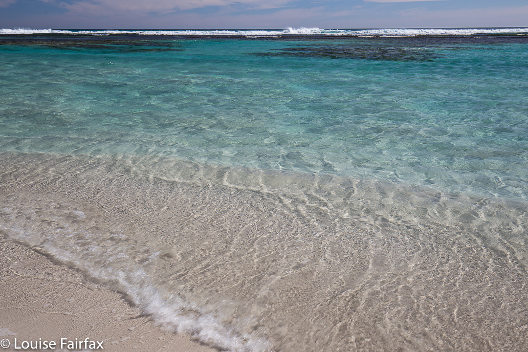
I just don’t tire of colours like this (Day two cont)

I could almost be called a multi-day coastal path junkie, having walked the South Coast Track (TAS), the South West Cape Track (TAS), the Thorsborne Trail (QLD), the Coast Track of the Royal National Park (NSW), the old version of the Three Capes (TAS), the South West Coast Path (ENG), the Pembrokeshire Coast Path (Wales), Wilson’s Prom (VIC) and the Abel Tasman Track (NZ). I feel I’m thus qualified to place a judgement on this track, and my verdict is that it can hold its head high. I have adored all these trails. There is something special about wild cliff tops overlooking vast expanses of ocean with the wind in your face and a proper pack on your back. The presence of seals on this track as you gaze south gives a very exotic feel. Beaches that you have taken a few days to walk to and that are inaccessible to the madding crowds are also very special places. Note, I said a “proper pack”, by which I mean a full-sized, laden one. Daypacks just don’t do it for me. A real pack is a symbol of freedom and adventure, heavy though it may be. I think the weight is part of what bonds walkers when they meet each other. Here is another person willing to endure this kind of burden in order to have this kind of encounter with nature.
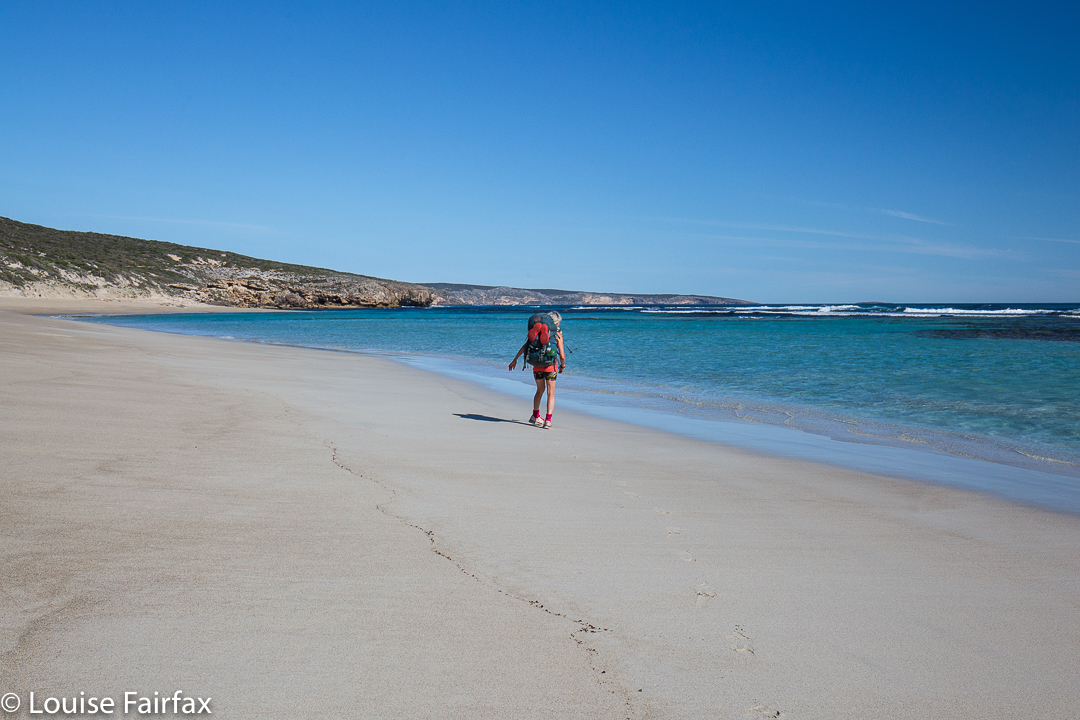
Beach walking, day two

So, why do I find this particular track such a welcome addition?
First, it provides a possibility to walk a distance trail in the driest state on the driest continent on earth, yet with the guarantee of water at the end of the day. Kangaroo Island is a very special place, but it would be a very uncomfortable walk without the provision of a campsite with water at the end of each day. This is not something to take for granted.
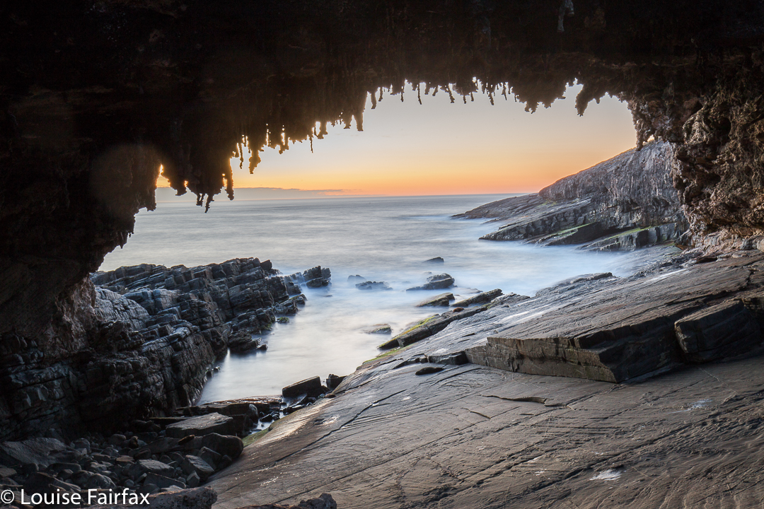
I arrived here in time for sunset at the end of the day 2 section. 

Second, the diversity of scenery is thrilling, from scrubland of taller eucalypts to coastal mallee sections, a fabulous river mouth as the Rocky River enters the sea, the brilliant cliff and beach sections, the spellbinding rock formations, the lagoons, and finally, the sinkholes near the end.
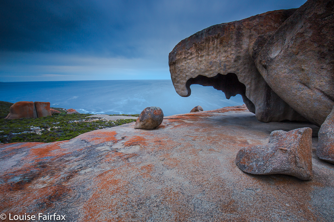
And here is the highlight for me of day three: The Remarkable Rocks

Third, the diversity of plants adds to this already stimulating variety. See the blog I have already published (below) for a full list of the wildflowers I identified in the first two days on the track. You will find about 45 listed. Even if you grouped them into colours – mauve, yellow, pink, white, red, orange – you would then need to discuss size, colour intensity, shape and all the other factors that make each one different and a pleasure to look at.
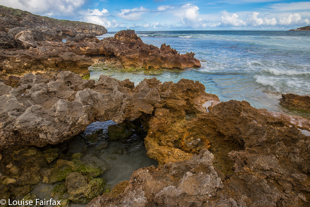
On day three I also enjoyed my side trip to Sanderson Beach

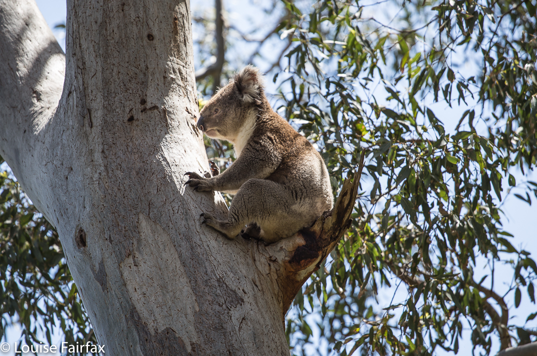
Fourth (but not in fourth position by any means), how can one not mention the animals? On the first and final days, I had the extreme privilege of seeing wild koalas doing their thing in the trees above me (so, sleeping or eating). I saw big KI Roos on all days except the second, with some putting on a boxing display during dinner on the fourth night. Goannas were plentiful on the first day, and I saw an echidna or two. Equal in pleasure for me with the koalas were the seals at the end of day 2 at Admirals Arch. I especially loved the pups who looked up at me with their endearing, huge eyes. I spent ages watching seals.
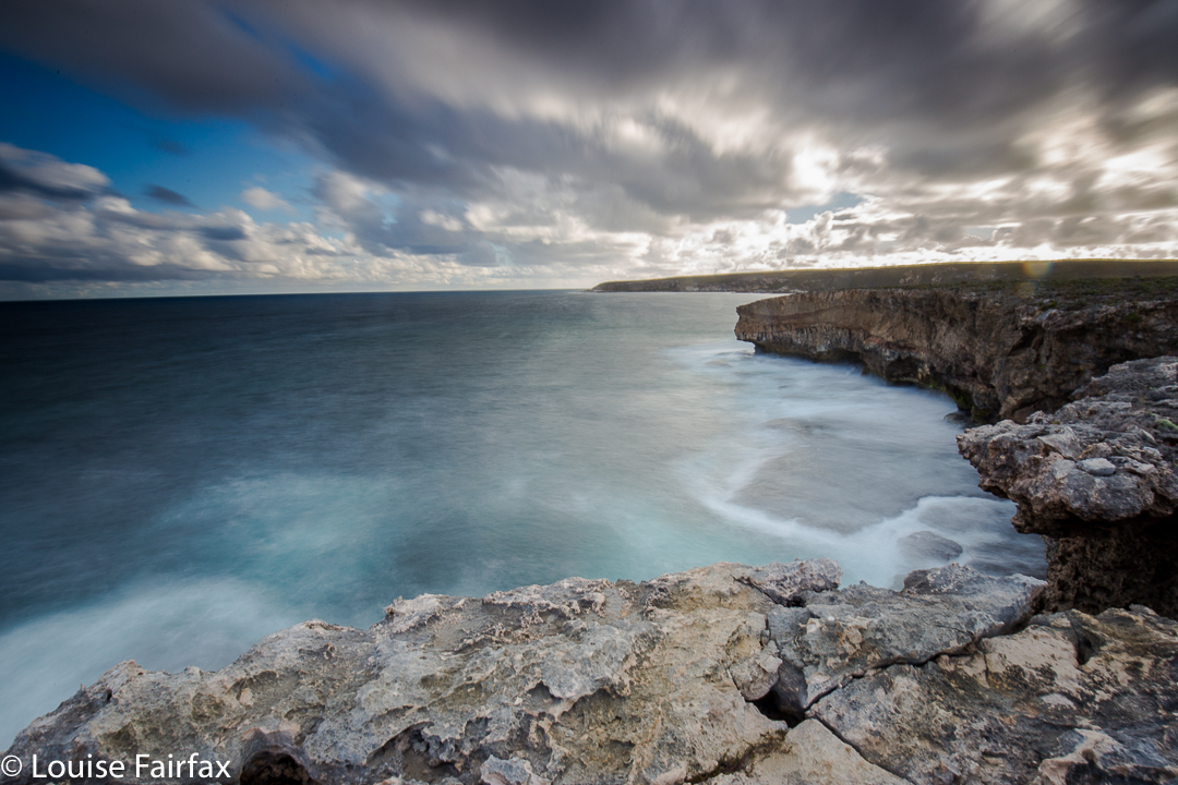
On the afternoon, and again in the evening of day 3, I also walked out to the cliffs 15 mins from the campsite to enjoy their drama.

There were a lot of cliffs on the journey (days 2, 3 and 4). Maybe you think that one cliff line is like another, but cliffs are like people, and each one is different – in rock type, or formation, in the aspect or the particular way it drops into the ocean or the way its rocks catch the light or in the view along the coast each provides. There’s always something to entertain.
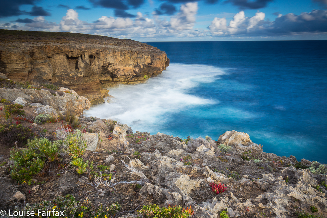
Sanderson cliffs. LOVE them.

The beauty of this path is not weather dependent. I should know, as I experienced everything other than snow. I began rugged up from the cold, but had stripped down to singlet and shorts by the first afternoon. Day 3 brought a literal gale, where I was blown off the path several times. Days 4 and 5 had rain – sometimes heavy – and hail, along with very high winds at times, but nothing detracted from the fun of the journey, even though at a theoretical level I would have preferred to have been warmer. The communal cooking areas (with sheltering roof, windbreak and guarantee of water) made a huge difference, as you could socialise there with other walkers, and not be confined to the prison of your tent in the presence of rain. You can sit at table and chat to others, and you can even, as the girls I met and I did, play games under the shelter.
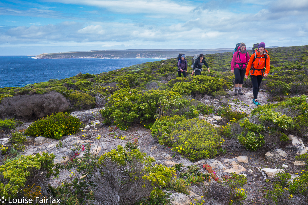
Day 4. Here are Helen, Kirsty, Jules and Mary walking along the cliffs. Being and to the left is a unique view of the Remarkable Rocks, not offered to car drivers.

I had connected with the four others who had started the track when I did – the first to do the track following the Premier’s official launch the day before – by the third night when I returned from a sunset photoshoot on the nearby cliff line. It was cold enough for some of us to cocoon ourselves in our sleeping bags while we sat at the table, but we had great fun meeting each other and talking and laughing our way through the evening.
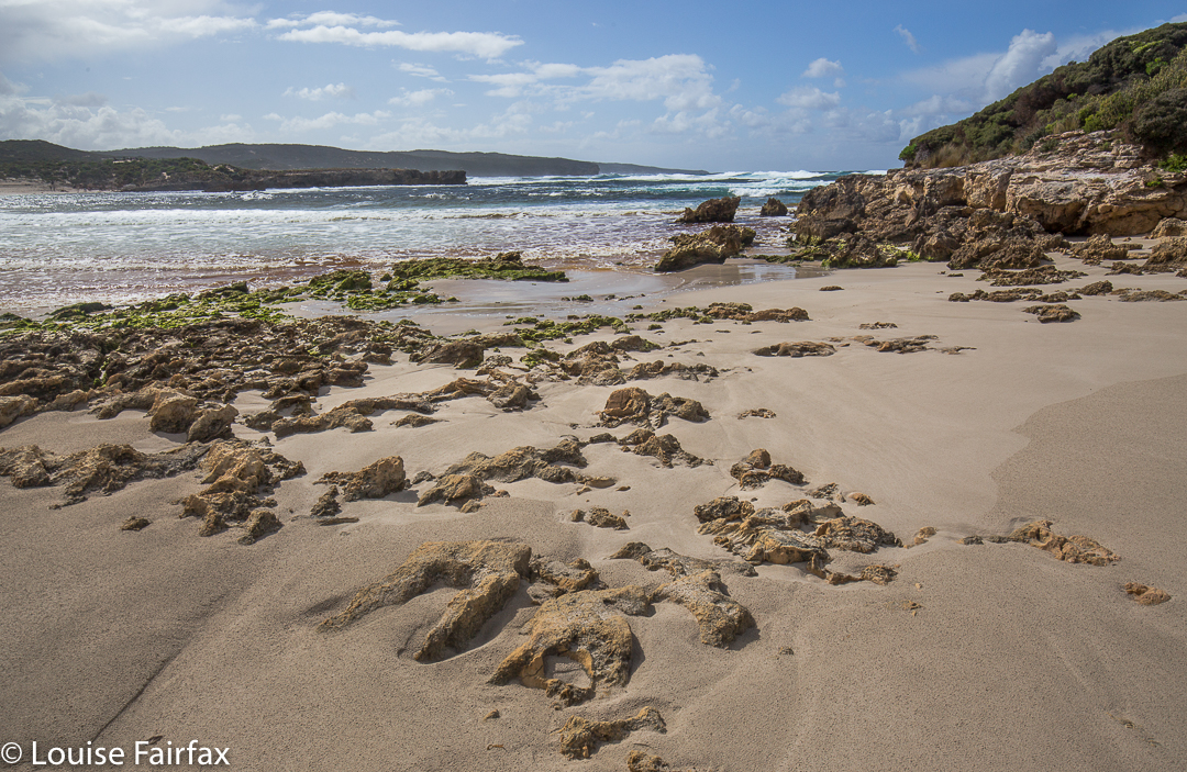
Hanson Bay Day four.
The worst part about doing this trail is finishing. As I hugged farewell to Kirsty, Helen, Mary and Jules, and later, to Alison, the wilderness trail manager, I was filled already with a terrible nostalgia for the walk and all it represented. I would have happily begun it all over again straight away.
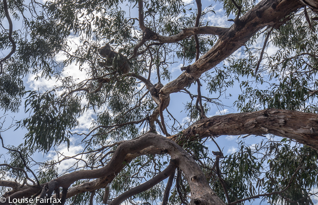
Great Walks magazine is publishing an article I have written on this walk in its December-January edition, where I give a day by day description of my walk. I have deliberately kept this blog different, and more general, to provide two alternative approaches to the story of the trail. I have also tried to provide different photos to give you variety. For a day by day account, please buy this great magazine. Buy it anyway, not just that issue. We need to keep bushwalking magazines alive. I hate the way airports offer you motoring and cycling and fishing, but no walking. Give me bushwalking pictures and stories, please.