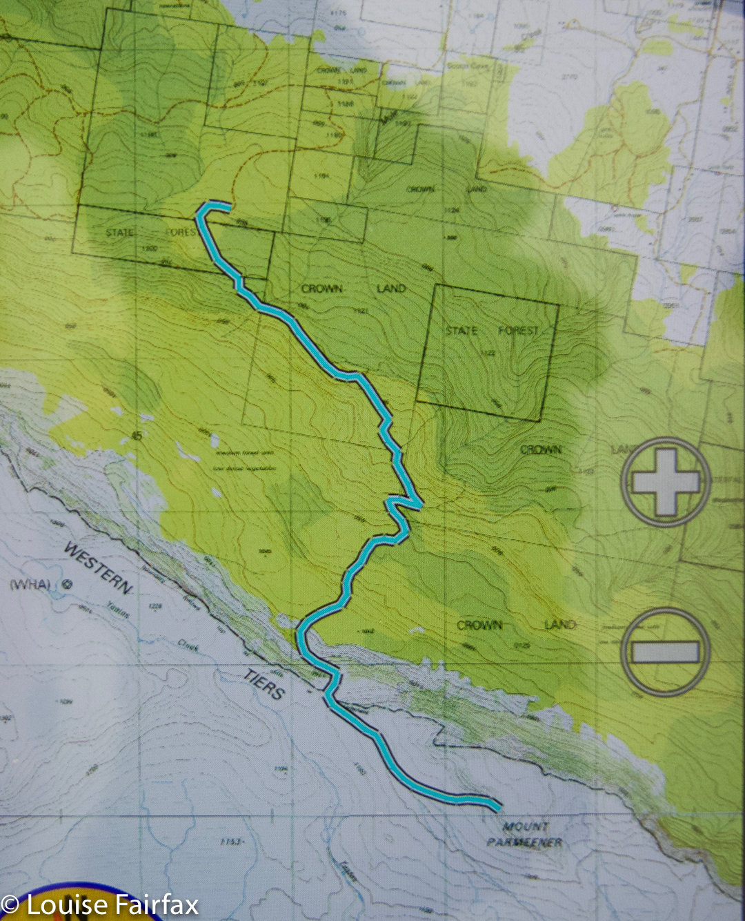
Agamemnon 2016 Sept

Agamemnon 2016 Sept.

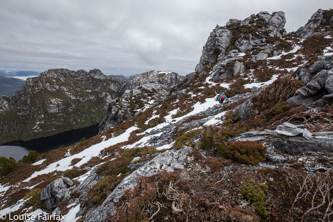
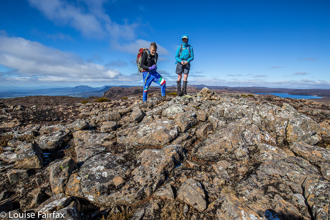
Angela nears the summit of Agamemnon

Agamemnon had been calling me for a long time. At last there seemed to be a break in the weather that would allow us an attempt. Off Angela and I set, although neither of us was entirely on top of things, health wise. I had had a low-grade virus all week, but thought I’d be fine … until I shouldered my pack, which felt absurdly heavy. The hills felt shockingly steep.  That’s OK. Despite a general “go slow”, we had reached the point in the track where a button grass clearing leads up towards Agamemnon in a bit under four hours’ walking.
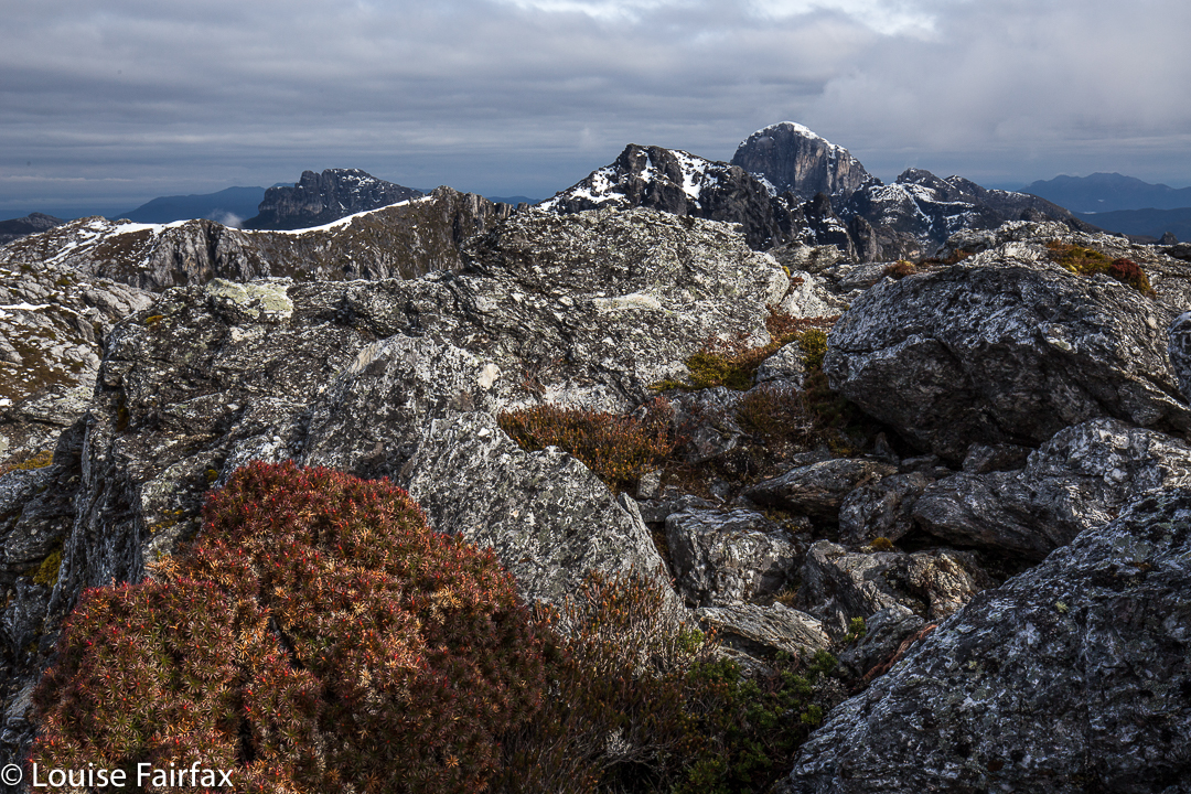
Frenchman Cap from near the summit of Agamemnon

Pessimistically, I looked up at a set of cliffs above and pronounced that it could take us an hour to get there. (I always like to overestimate so as not to be disappointed later.) Unfortunately, nearly an hour was exactly what it took. No one had mentioned that the button-grass lead cedes to thick, nasty steep scrub that two off-colour girls would find hard work.
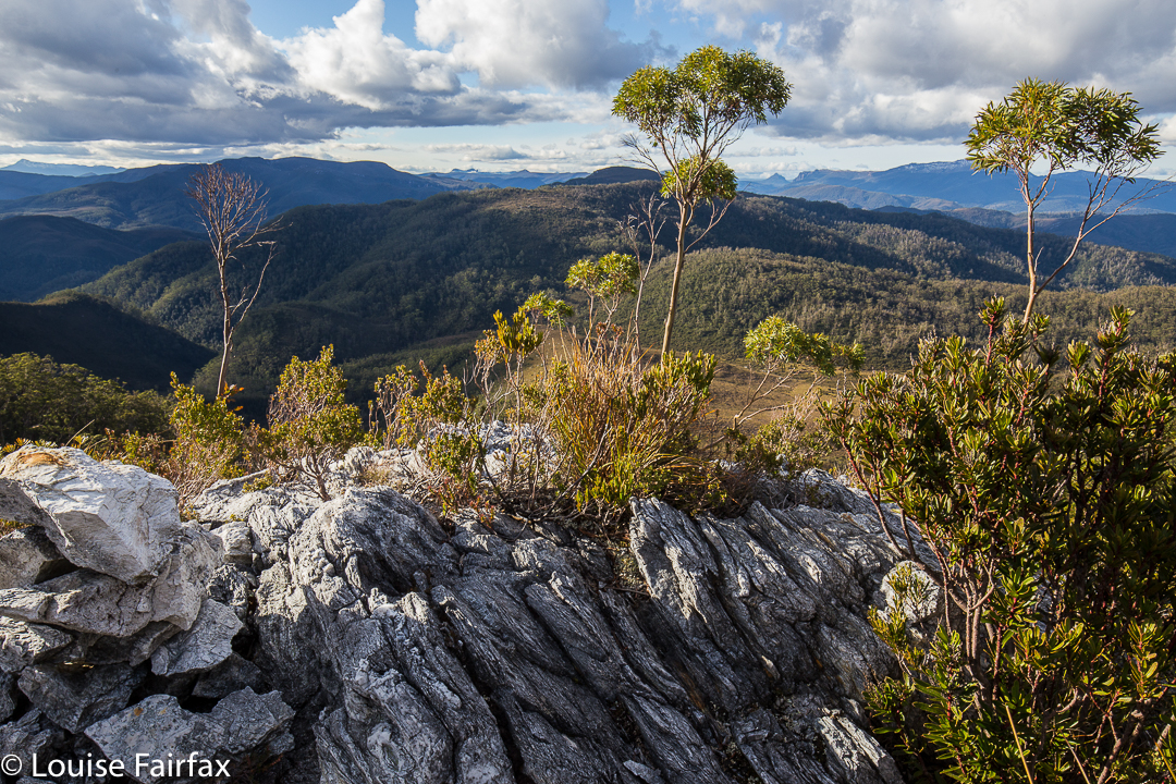
From below, I’d seen a fissure in the rocks with green in its crack, and suggested that we head for it, hoping it would provide a lead to the top. It did. We sat on top of the rocky outcrop (above) at the end of ‘climbing stage one’, enjoying a snack and taking in the dramatic view. We’d gained a lot of height in that hour, although I had been drastically slow.
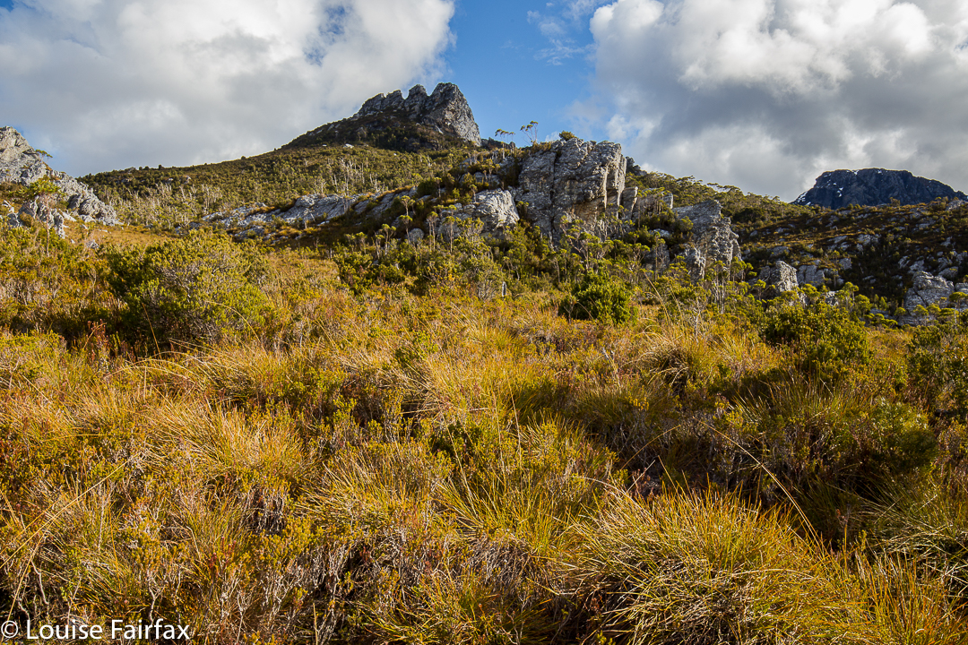
The ‘Four Ugly Sisters’ (so named by us). A rocky outcrop on the ridge just below were on our bearing. Ultimately, we topped out next to the sisters (to their left).
The next point we wanted to visit was a saddle not in sight. We set our compasses on 154 degrees and headed across and up. There were some rocks on a big ridge below the Four Ugly Sisters that were on our bearing, so it was easy to keep direction whilst weaving. The going was tougher than expected, however: the scrub had not yet finished, and there were many rocky bulges that posed a “left, right or over” decision. Sometimes Angela went over, I went right and we met at the far side, smiling.
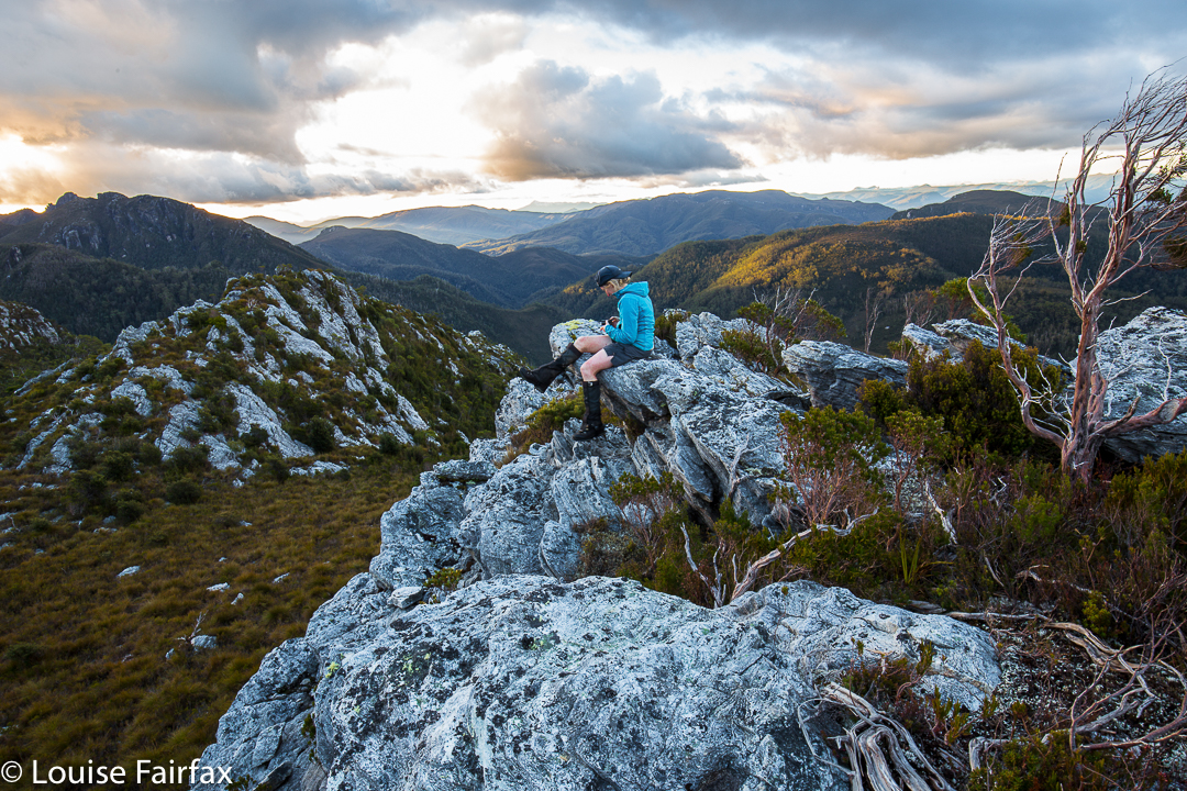
Angela examining her photos on  “sunset rock”.
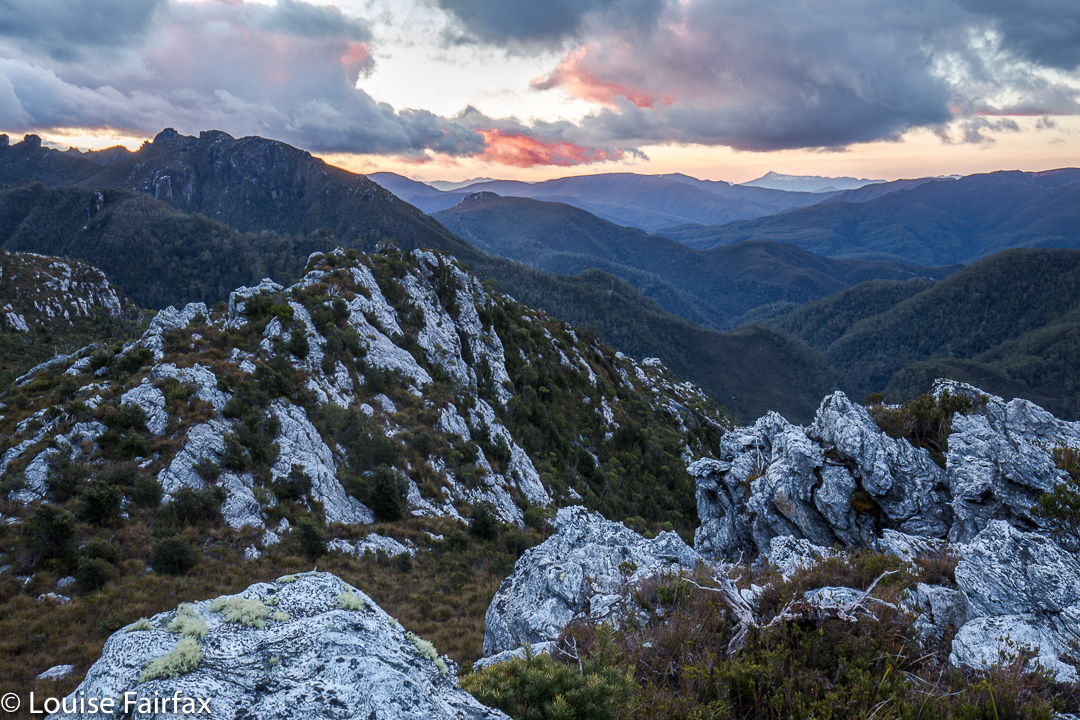
After about forty minutes, we came to a point where it looked quite OK up on the left on a little ridgelet. We were about to reach a mini-saddle (very mini) within the wider structure of the bigger ridge. Ahead, the bush looked very thick. Our destination looked to be dauntingly steep and far away. I pointed out that sunset views would be great from here. We agreed to call it a day. Higher would have been nicer, with better views, but we had had enough. The laden winter packs had been on our backs for five and a half hours. Time to enjoy what remained of the light.
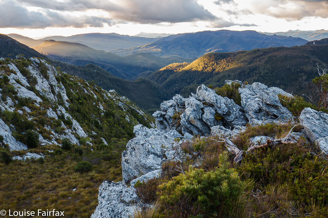
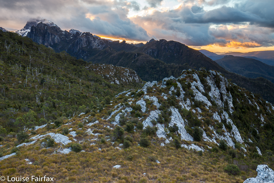
Frenchmans Cap in the clouds

Given that the next day was supposed to be clear, sunset was a bit disappointing, but I am still pleased with what I captured. It was worth lugging my tripod and GND filters up there after all.
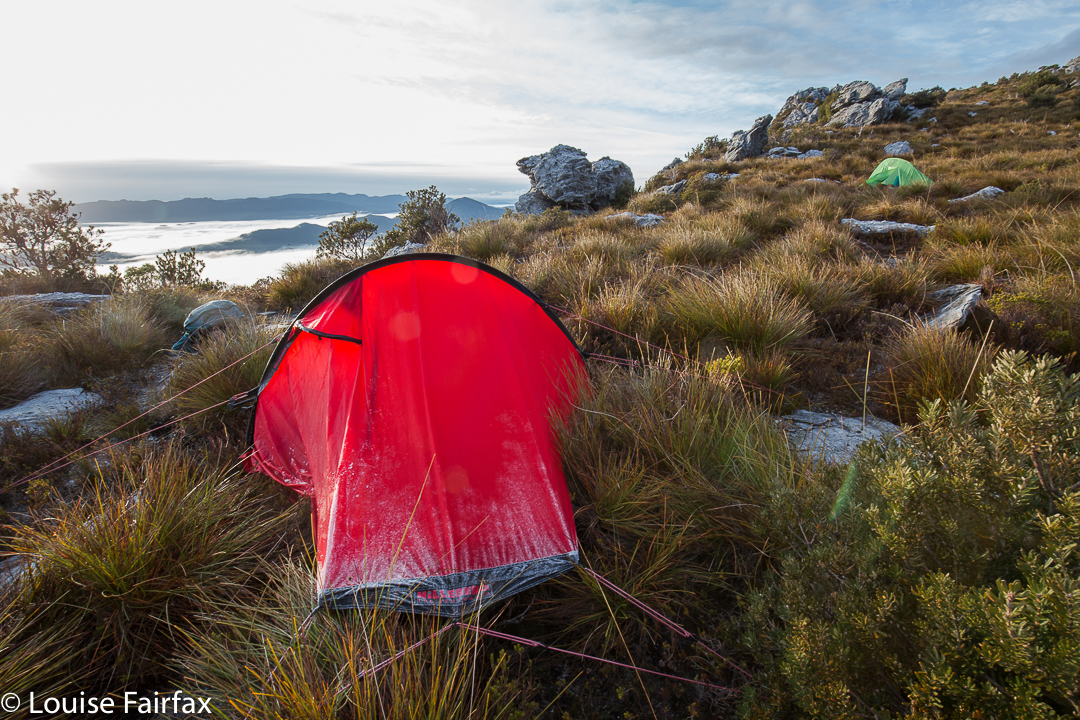
My trusty room with a view, frosted up a bit.
Angela did not want one of my super-early starts, so I suggested 7.30, hoping that was a good compromise. She agreed to it. I’m glad it wasn’t any earlier, as the tent was sopping in the morning, even though much of the condensation had frozen. I had time to enjoy early light without being hurried. There was no sunrise, as such. Hm. This was not the weather we’d been promised.
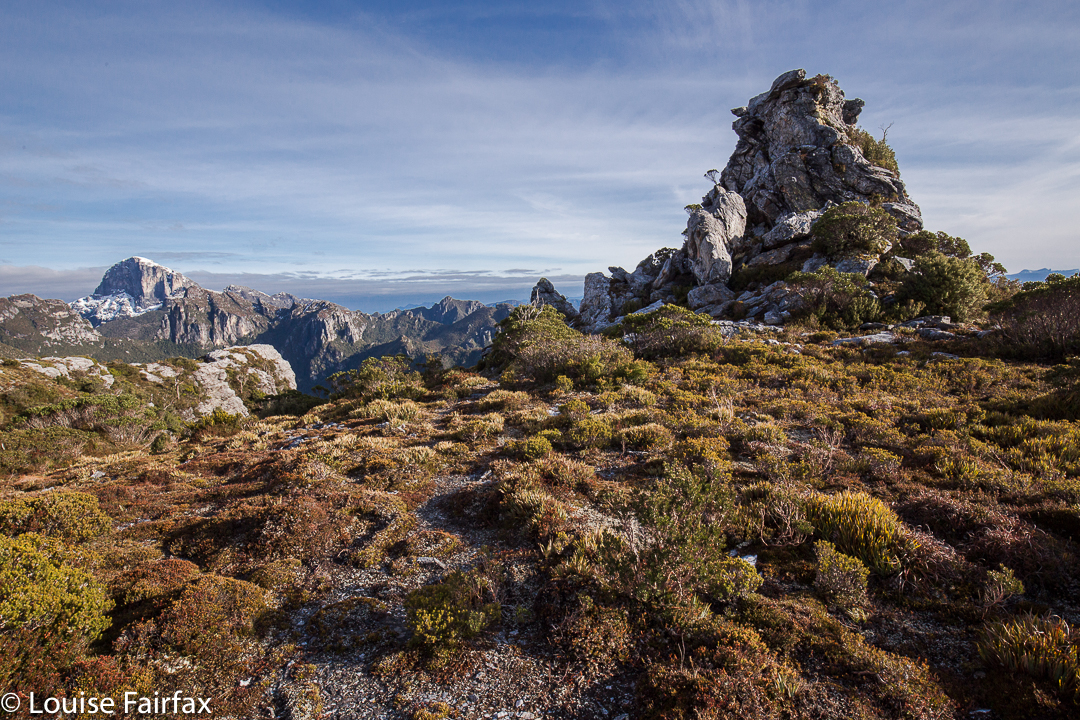
Fenchmans looking cute below us, and the Fourth Ugly Sister looming large.
Again my pessimistic and conservative estimation came: “It could take us one and a half hours to reach the top from here.” Unfortunately, the one and a half hours it took was walking time only, and if you throw in time taken for photographs at those vantage points where not to stop would have been plain criminal (like when we reached those rocks on the ridge, or when when we topped out near the Four Ugly Sisters (the far left one of which is pictured above), then it was two hours. 9.30 a.m. I sat on the summit staring at my watch and looking out at Philps Peak, our next goal. My calculations of the feasibility of this programme had not involved summitting this late – not on a short, winter’s day with glowering clouds rolling in. I had had a snoop around while we were photographing and snacking, and was not entirely confident that we could even get off this cliffy mound on which we were perched without needing to take a big detour backwards.
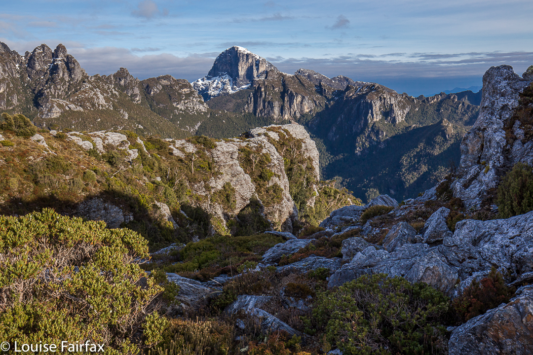
The somewhat contorted landscape that a map has trouble adequately representing.
No detour was necessary, which was great. Meanwhile, Angela, undaunted by my pessimistic assessment of our chances, was keen to give Philps a go, so off we set, with me warning that we really couldn’t afford a single hiccup en route. We had one in less than thirty minutes, when we lost time skirting around Agamemnon South. The mess of thick bushes and snow that gave way, the general uncertainty of the best route ahead all took their toll and seemed to conspire against us.
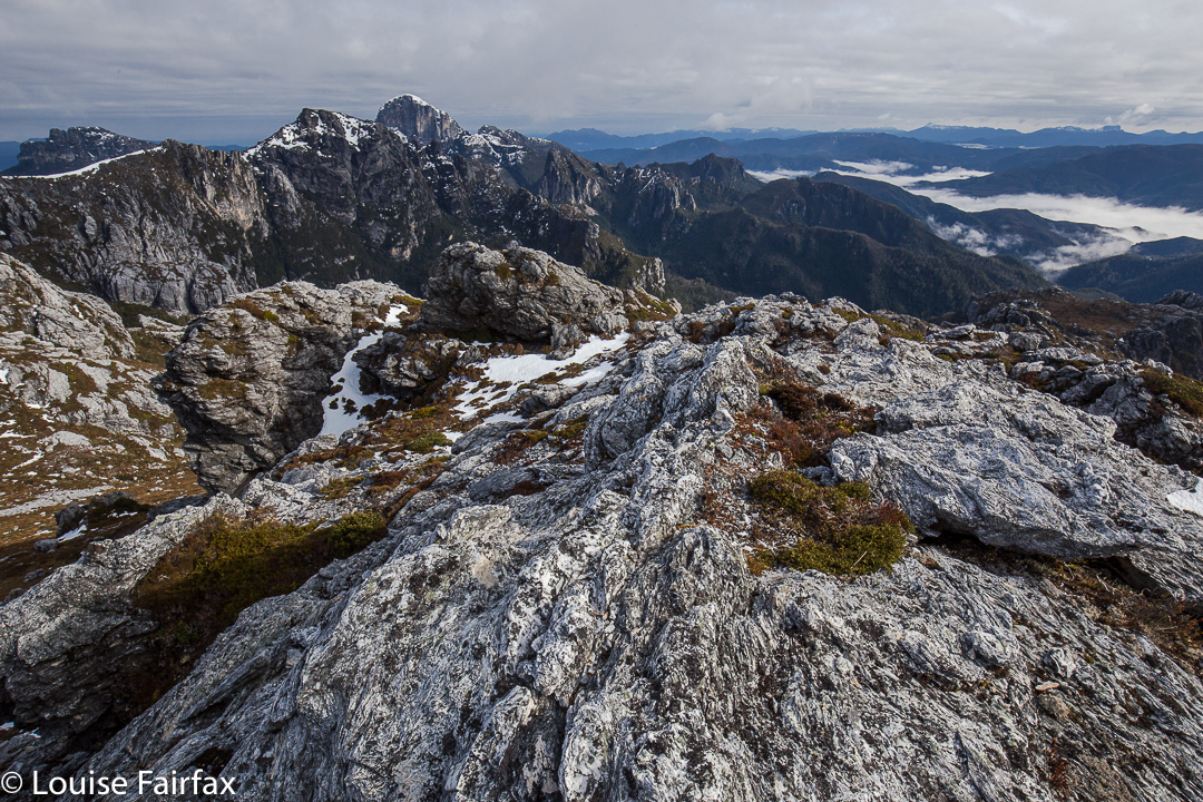
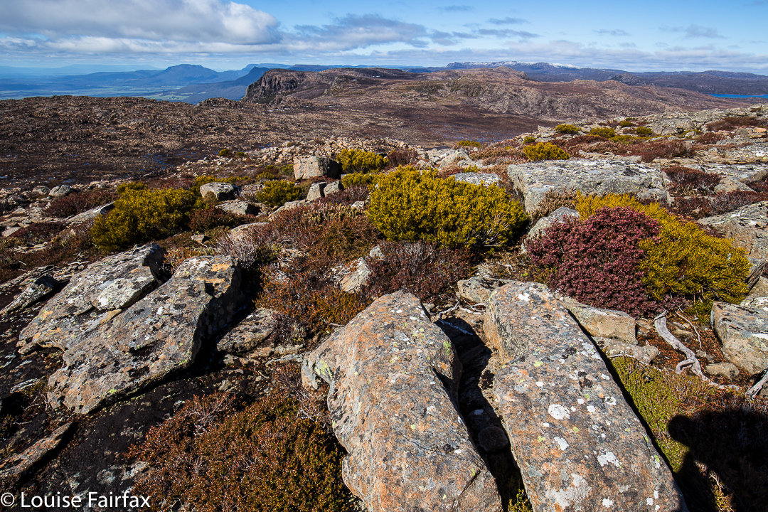
Summit view from Agamemnon
Meanwhile, clouds now completely obscured Philps Peak. This is not an area to be in with poor visibility: in fact, that’s downright dangerous. So many of our decisions were based on sight, as compass only gave a general direction, and map contours simplified the scenery to too great an extent. Eyes were needed to have guidance through this maze. Moreover, it was also raining over there. Angela reluctantly agreed to give up, jokingly commenting: “Who would believe that you’re the sensible one of the two of us?”
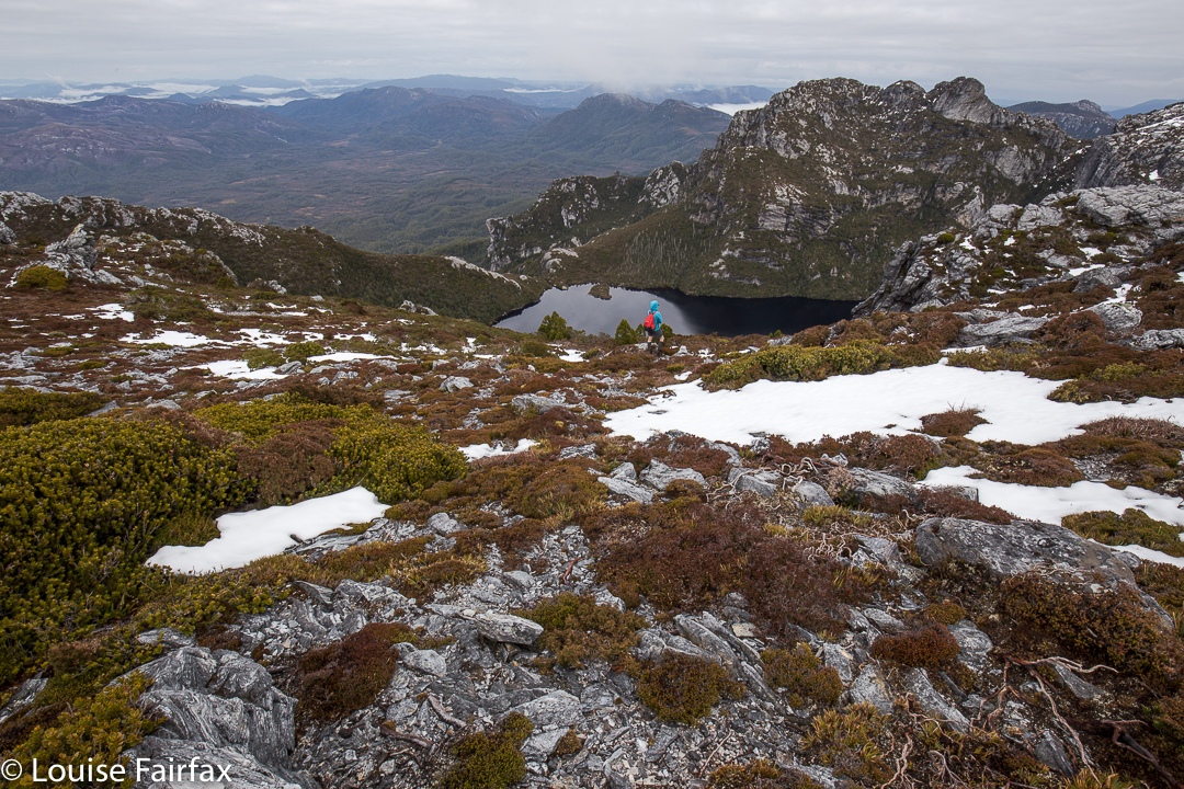
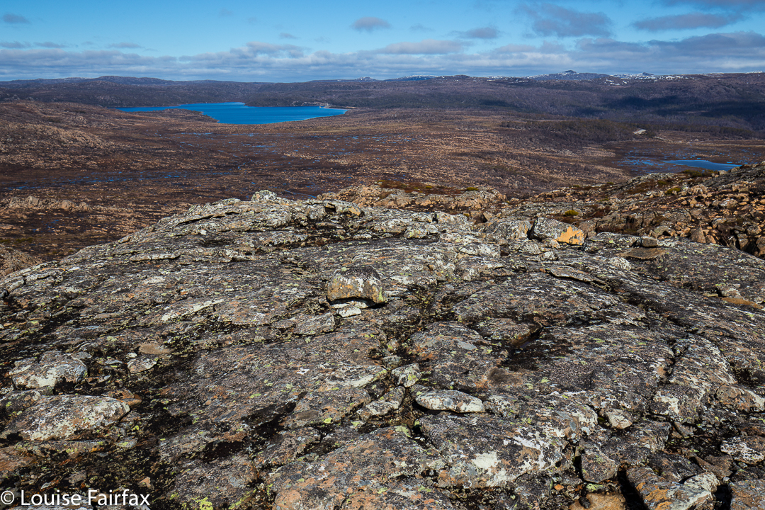
Lake Whitham far below

Still on the correct route, but about to give up. We will be back next time.
We played on Agamemnon South for a bit and headed back, finding good routes harder to pick on the rebound. At 11.45 we reached the Four Ugly Sisters again. The view was anything but ugly. Columns of rain were advancing rapidly. I suggested we enjoy the possible remains of what had been forecasted as a nice day and eat an early lunch right there, enjoying what our hard work had won for us. This was the only really relaxing moment in a very long, very hard day … just sitting up there, chewing, staring. Wonderful.
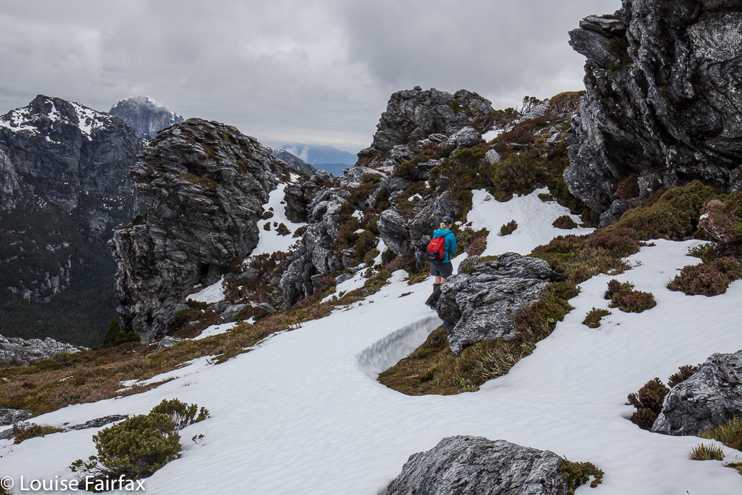
Once back at the tents, I raced to get mine down before the rain hit. Our packs had been on our backs for about thirty seconds when the first droplets let loose. Our chute down was hard to find in the thick mist. We very nearly missed it, and only just ascertained that we had found a way down when the blanket of grey completely closed in, and visibility was reduced to ten metres.
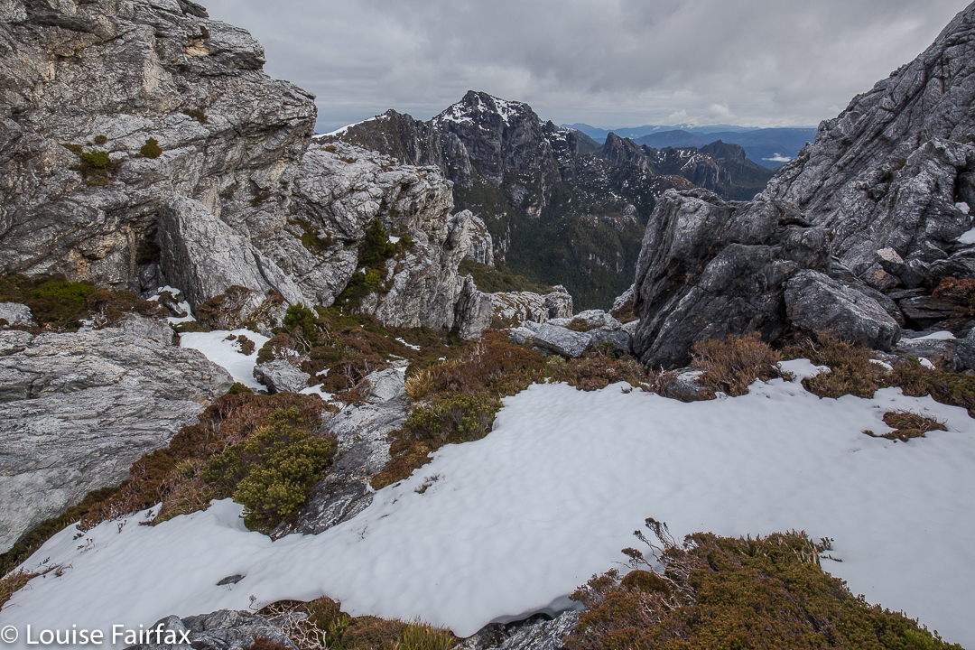
Views from on Agamemnon South.
At 2.30 we hit the track far below. Quandary: Left to Lake Vera Hut, or right, out?? We both voted right. Realistically, we would finish after dark presuming we would need breaks and be slower than the time in. It had already been a seven-hour day. Undeterred, we marched on. By the Loddon River, I was exhausted and sore, but we were both keen to continue. As we donned our packs yet again, I muttered supposedly encouraging words: “Max two hours to go; even in the dark.” I then laughed, as I thought about the fact that a marathon takes not too much longer than two hours (depending on who you are), yet most people speak of this with trepidation, and here we were consoling ourselves that we only had a marathon left to go. Ha ha. The relativity of it all.
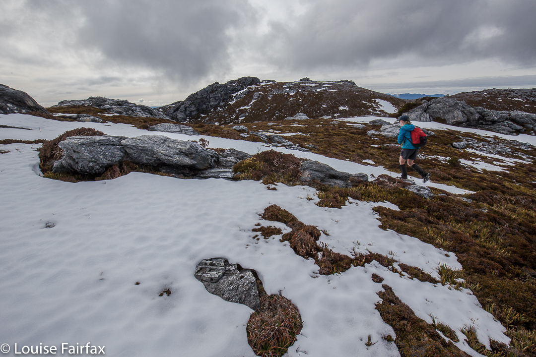
The whole day ended up being ten minutes short of twelve hours, but we made it – AND we made it to the Derwent Bridge Hotel before they closed the kitchen, and were thus able to enjoy a delicious dinner near a great big open fire before setting out for the big drive home. I was still in my cow pants, gaiters and boots. Poor Angela. You will be pleased to learn that the cow pants got a tiny tear in them this trip. Their days may well be numbered.
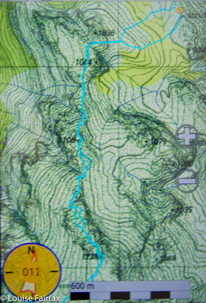

Agamemnon, from our tent (waypoint) to the summit.
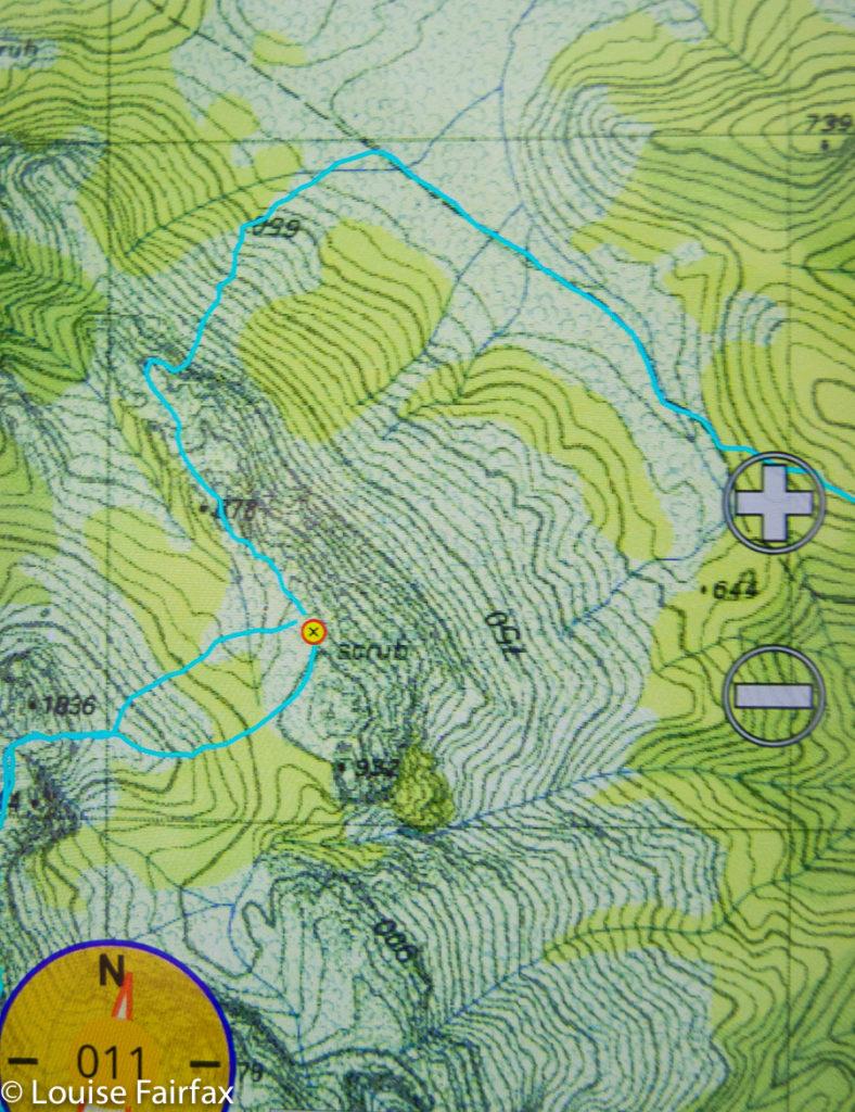

Route from the Frenchmans Track to our tent
Track data: (I was feeling a wuss before I noted these figures).
Day 1. 16 kms + 825 ms climb = 24.25 km equivalents.
Day 2. 22 kms + 800 ms climb = 30 km equivalents.
Total for two days: 54.25 km equivalents.
OK. I was allowed to be tired, especially considering the winter-weight pack and the 3kgs camera equipment on top of that. Even so, I do need to toughen up for long summer expeditions. Sigh.
Parmeener 2016 Aug

Mt Parmeener is neither pretty nor dramatic. Perhaps worse for its popularity, nobody has allocated it a point, and despite its offical 1286 ms above sea level elevation (peak baggers’ master sheet incorrectly says 1280; other websites incorrectly say 1270) it fails on other criteria to be an Abel. Lots of people and things are neither pretty nor dramatic, nor worth a point in some random system, but they are still interesting for other reasons, and well worth our engagement. Mt Parmeener is one such.

The view west
Its altitude, if nothing else, should hint at its expansive views. Being right on the edge of the escarpment, it looks out north over the Mole Creek region far, far below. Looking west, we could see snow on Ossa and Pelion East. To our south, the Walls covered in snow were visible, and to the east, Quamby Bluff’s distinctive shape called to us, as well as sharp bluffs along the escarpment’s piped edge. It felt airy and wild up there. The wind was cold, but we were not blasted out of existence, and enjoyed the feeling of space along the top.

Lake Mackenzie, not too far away below there

We drove south from Mole Creek, on a road imaginatively named South Mole Creek Rd. Road names are a little confusing, as different maps call the roads a variety of names, but one thing stands firm: you want Blairs Road, and it is correctly named on all the maps I’ve consulted. We headed south from Mole Creek, as said, and after about two kilometres, turned right (west) onto a road that ran into Blairs Rd at a left hand turn that had us heading south again (named on the map). We followed Blairs Rd for several kms, through what appeared to be a farm, and on, into the forest … and up. Had there not been a big flood recently, it would have been possible to have driven to a boom gate. Now you have to stop short of that, but not too far short; fallen trees and soft ground made further driving impossible. For walkers, however, they just add a bit of fun and challenge.

The track takes you up through beautiful myrtle forest.
Beyond the boom gate (which informs you that dangerous fires are raging ahead and you should not enter), the road morphs into an old stock route – South Mole Creek Track – where cattle could have walked three abreast in some places, only single file in others. This route takes you on the gentlest of inclines up onto the escarpment. I was stunned to read we had climbed over 500ms (to the escarpment; 660 ms in total). We took around 2 hours from the car to the end of the steep climb, and a further 30 minutes from breasting the rise to our actual summit, further to the east of our emergence point on the tops. Once up onto the escarpment, the climb to the summit is minimal. Spaces were open, the air was fresh; it was great wandering along deciding which gully we’d use to attack the final rise.

My husband, with ever-worsening Parkinson’s disease, made it to the summit without any problems, so I would classify this as a very pleasant and doable family walk. At this time of year there was abundant water on top (flippers were more necessary than a water bottle). Given the many access problems posed by this winter’s floods, I recommend this track as something that remains reachable when so much else is closed off.

Mt Parmeener, route.

Cradle Mountain 2016 Aug Snow camping

Cradle Mountain, camping in the snow.

If you have been following this blog, you will know that I have been trying to get out snow camping almost every weekend since I returned from Europe, but that something has always come up to prevent it. At last this weekend I got my wish. Angela had time free and wanted an adventure; snow was predicted: we were off. Initially we were (we thought) going to climb Blue Peaks and be on the Western Tiers, but road access problems meant that we had to choose the Cradle area in order to get both an open road and snow. I wasn’t sad. I love this place, and don’t always need to be somewhere new.

We were both feeling a bit out of practice at Tassie-style snow work, so I also enjoyed being in an area that offered us plenty of dramatic snow and yet was only a couple of hours from the lodge, so somehow that felt less remote if anything went wrong. It was good to have a chance to refine our methodology and test some of our new gear here before committing ourselves to the really deep wild wilderness. Mind you, during the night, with the wind howling and the tent making explosive whiplash noises, I didn’t feel so terribly secure, and kept wondering if I’d survive if the tent broke in one of these furious gusts. Plenty of people have died within five kilometres of Cradle, so it didn’t feel particularly wussy during the night.

I am “naturelover”, so it goes without saying that I love nature: this does not mean some National Parks attenuated idea of nature, some metre-wide levelled out highway through what is dubbed wilderness for the sake of city tourists, but which is tamed with infrastructure to defang it for timid  human toleration. I am not against the existence of such tracks – everyone begins somewhere, and my love of extended bushwalking began with the Overland Track, and it serves a need either as a beginning point, or even an ultimate achievement for many people. However, I think if we really want to meet nature in its supreme form, we need to expose ourselves to some of its less “pretty” and comfortable aspects. A snow storm in winter is one such.

Robert Macfarlane in The Wild Places, a book searching for wild locations in Britain, spends a night in midwinter on a Lake District mountain exposing himself to the fury of a storm in order to experience and appreciate nature’s unleashed force. When I read his book (which I loved) I felt so sorry for the people of the British Isles, that there were so few places where they could experience the might of undiminished nature. We are somewhat spoiled in Tasmania to have reasonably easy access to abundant places that satisfy this longing – but we need to be wary. People who only see nature as the means for making money and who wish to thus subject nature to their concept of what tourists want and who are willing to sacrifice what they neither know nor understand to the great god of dollar are encroaching on the wildness and wilderness we have left and are chomping bits out of it at an alarming rate.

Many, many Tasmanians mourn the loss of the access to wilderness that we used to enjoy in our own national parks as our old freedoms are removed with each new development, for the most part brought in to allow better management of visiting tourists rather than any motive of caring for the land. Our love of this land is being ignored. Our attachment to the land, our sense of spirituality that comes from being in infinite space and beauty, and our culture of camping and walking in it are treated as nugatory. Of course the tourist industry has myriad excellent features, but that does not mean we allow it to run out of control so that the only wild thing left in our state is that government department. Like alcohol, tourism should be used in moderation. I would love to live in a land where values other than money ruled our ethos and regulations. I fear this worship of money above all other values will ultimately bring about the collapse of western civilisation as we know it, for it is fast running out of control in a destructive solipsistic spiral. The object so valued because it can bring so much can also be the object of demise when not controlled.

I thought of Robert Macfarlane during the night of not-all-that-much sleep, and pondered such issues. We cannot respect nature if we don’t know what it is, and if we fail to respect it, we will harm this beautiful earth beyond repair.

For those who have not tried snow camping, but who are already thinking they want to take this step, I will tell you what we wore to bed. One size does not fit all. We are both small, lean females who feel the cold. Our needs will probably not be felt by those with more padding, and will not suffice those with less. This is what I had on to survive the night, and Angela’s story is similar. On my head I had a silk balaclava, an icebreaker buff and the hood of my Arcteryx jacket (as well as the hood of my bag). On my upper body, I had an icebreaker singlet, a long-sleeved thermal top, an icebreaker T-shirt and a cosy Arcteryx jacket, as well as the warmth from my sea-to-summit SpIII goosedown bag (850 loft, 400g fill). My hands were warmed by possum gloves. On my legs, I had thermal longs (over woollen knickers), orienteering pants, another pair of icebreaker wooden long tights and the bag. On my feet I had woolly socks (two pairs would have been nice). Over all of that, I had an SOL bivvy bag (which adds five degrees to what you can tolerate), and over that, my trusty tent. The temperature difference between the other side of that flimsy wall and the protected inside was easy to note. I also had my Goretex jacket spread over my feet area. In my pillow bag, I had another jacket should I need it, and another thermal, but I felt fine. We both used four-season mats. I also had a carpet underlay.
My knees were sometimes a little cold during the night, but as long as the temperature didn’t drop any further, I was fine as I was, and didn’t pull out my reserve gear. I was absolutely definite that I was NOT getting out of that bag to go to the toilet, which I unfortunately needed to do from about 9 p.m. until 7 a.m., but there are some bodily needs that just have to be taught their place. Angela likewise refused her body this request.
Dismantling the tents was probably the least enjoyable part of our excursion, but once we were underway walking again, the pain in our hands soon eased, and I was left wondering exactly how slippery the steep part of the Face Track descent would be. We chose that route as it is the least exposed in our opinion, but still could be challenging in icy conditions where the steel chain is frozen over and the land drops dramatically away over rock that has few vertical holds. We were both carrying minispikes just in case, but, on this occasion, the powdery snow had not melted to make slippery ice, so all was well. And meanwhile, the sight of gums drooping with icy mantels, of filigree branchlets capped in a delicate white covering, of wombats caught unawares whilst burrowing in snow all thrilled me as I scanned the landscape for signs of where a track might be when not masquerading incognito as bland white wilderness. The powdery snow made a delicate sort of squeaking sound as our feet compressed its mass. I wish I could have taken more photos, but I was far too cold, and was having trouble with my camera lens clouding over in these conditions.

Redwater Creek Falls 2016 Aug

Redwater Creek Falls, Upper and Lower, Sheffield area. 2016

Redwater Creek Falls Upper

I had set this weekend aside for snow camping. I have lost count of how many times I have now tried to do this, but something always interferes, and on this occasion, I was thwarted yet again. The webcam at Cradle, which would give me the general idea for anywhere I wanted, showed a dismal, bleak, grey scene that I did not feel like being part of. We opted to make our garden more beautiful by removing weeds on Saturday and to go waterfall chasing and bagging on Sunday. Tessa, our dog, had four votes on this and was happy with the outcome.

The first glimpse of Redwater Creek Falls Lower.

Tessa enthusiastically took her place in the boot of our new 4WD car, thus spreading dirt and hair in a single move and spoiling that beautiful look that we knew all along would be fugacious. Off we set.

The first glimpse of Redwater Creek Falls Lower.

The Tasmania Trail that we followed to the falls is a 460 km long fabulous trail from Devonport (north) to Dover (south), open to equestrians, hikers, bikers but, gloriously, not cars. We decided to do less than the whole length today, but we sure enjoyed the bit that we did. Tessa says we’re allowed to do a lot more next time if we wish.
After walking and photographing here, we then drove back the way we had come until we were 3 kms from Lower Beulah, when we visited the falls below, the Dasher Falls (for directions, see further below). Bruce feared that Tessa might pull on her lead and drag the two of them down the very, very precipitous slope into the cauldron below, so I was the only one who got to see these dramatic falls. I think I saw them under pretty special conditions. They are really worth a winter visit – but not with children.
How to get there: If coming from Launceston,turn left at Elizabeth Town,  just before ETC coming, and then turn right to Railton. After a couple of kilometres, there is a dirt road to right and left. On the right hand side it says it is the Tasman Rail Rd – the former site of a railway line. Turn left up this dirt track and follow it to a gate, where you’ll need to park (plenty of room for that). You then walk along the main track (ignoring alluring side options when they occur). After a kilometre or so, there is a farm-type gate with a walking gate beside. go through the walking gate and continue with a stranded electric fence to your right until, shortly before the next farm gate, you will see another walkers’ gate to your right (the electric cords go overhead). You can see the falls from there. The lower falls are a very short distance indeed from the upper (maybe 20 secs).

Car route and then walking route to Redwater Creek Falls. Starting on the cyan track bottom right, we are driving west in the direction of Sheffield, having set out from Elizabeth Town. When we see the sign to Railton, we head NE along that road. After nearly 2 kms, and on the first possibility, we turn left onto the Tasmanian Trail dirt track.The first waypoint is where we parked at a locked gate. The second waypoint is at the second closed gate. The line actually continues past the falls to the third gate because we just felt like walking there to see what could be seen. Curiosity didn’t kill humans or dog. As said above, the falls are down the only gate in the electric fence off to the right. You can see and hear them from that gate. Hope that helps. These falls are seasonal, so go after rain.


Legges Tor 2016 Aug

Legges Tor in the snow (mach 2)
On Tuesday, Angela had the day off work, so the two of us headed up to Ben Lomond to catch some snow and do a white ascent of Legges Tor from Carr Villa. On this trip, I decided to get all my possible snow errors over and done with in one day so I can have the rest of the season clear. It seems there were many to dispense with.

Firstly, there were problems doing up my spiders, which were needed twenty minutes into the climb once the track became a smooth frozen river of very shiny, very slippery ice. I couldn’t remember how to do them up, so improvised a method. Really, I knew it was insecure and had to fail. I just couldn’t devise a better one just then. Five minutes later, predictably, they came off. I tried again and off we set. Five minutes later they fell off again. Now I tried a new method, it felt better. Five minutes later they fell off again. At last I worked out how to attach them at the back too. They were on the wrong feet, but I didn’t feel like delaying Angela any more, so hoped that wouldn’t matter. It did. Seven minutes later they fell off again. Ok. I sat down and changed the feet around. Hoorah. No more delays from the spiders for the rest of the day. Angela had just slid her rubber topped, chain-crampon booties on in .05 seconds flat.

Now trying to fit these wretched spiders had involved quite a bit of pulling and tugging. At one moment, I was pulling very hard indeed and my hand slipped so that my fist bounced speedily upwards biffing me on the nose. Blood poured out immediately and copiously. I didn’t do much about this as I was too busy roaring with laughter. I had never known anyone to bop themselves on the nose so hard that they bled like that. I guess I was lucky I didn’t knock myself unconscious. The extreme cold soon put a stop to the bleeding. Luckily I had toilet paper to hand.

On we marched. I heard a snap. The buckle on the waist band of my pack bounced undone. I fixed it up. Angela said: “Aren’t you going to collect your lens cap?” I hadn’t even noticed it had snapped off too. Five minutes later I wanted to photograph something beautiful. Oh no. No lens cap. I just had to go back and search for it. It had obviously come off a second time. Luckily, I did find it lying in the snow, a bit away from where we’d been. It must have rolled.

Despite all these delays, we eventually neared the summit. The wind was furious and freezing, but I just had to photograph this beauty. I took one glove off, tucking it under my arm, and snapped away at ice rime on beautiful dolerite, while Angela, too cold to stop, continued towards the summit, hoping I’d hurry up no doubt. I photographed her in the act of summiting and then dashed off to the side for some more shots. By this time, my ungloved hand was ready to drop off. That was the only reason I stopped my mad clicking. I went to put the tucked in glove back on. You guessed. It was gone. I retraced my steps. Poor Angela was now totally frozen with all my fooling around. However, these were very special windproof gloves (they weren’t even an ugly black like every single pair of gloves on sale in 2015-6, as they’d come from Switzerland). I needed to give this glove one more chance of being found. Angela pointed out that in this wind, it would have blown away and could be anywhere. I promised her minimal time spent on this and raced back to where I’d been. Halleluja, over to the inside, blown away but still visible, lay my precious glove. Off we set, quickly, before Angela turned into an ice pillar.

As I had run out of smart ideas for further errors, the trip back was uneventful. It felt good to drop out of the gelid wind, and the temperature increased as we lost height as well. We even shed some layers. It was a beautiful day, which we both enjoyed.