Agamemnon 2016 Sept

Agamemnon 2016 Sept.

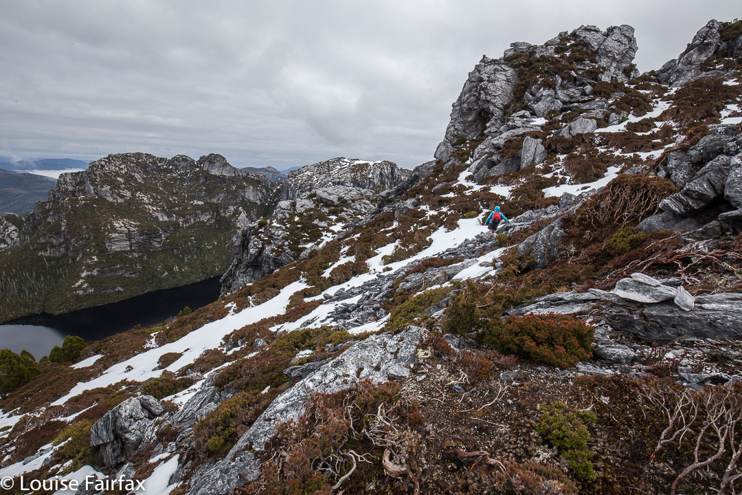
Angela nears the summit of Agamemnon

Agamemnon had been calling me for a long time. At last there seemed to be a break in the weather that would allow us an attempt. Off Angela and I set, although neither of us was entirely on top of things, health wise. I had had a low-grade virus all week, but thought I’d be fine … until I shouldered my pack, which felt absurdly heavy. The hills felt shockingly steep.  That’s OK. Despite a general “go slow”, we had reached the point in the track where a button grass clearing leads up towards Agamemnon in a bit under four hours’ walking.
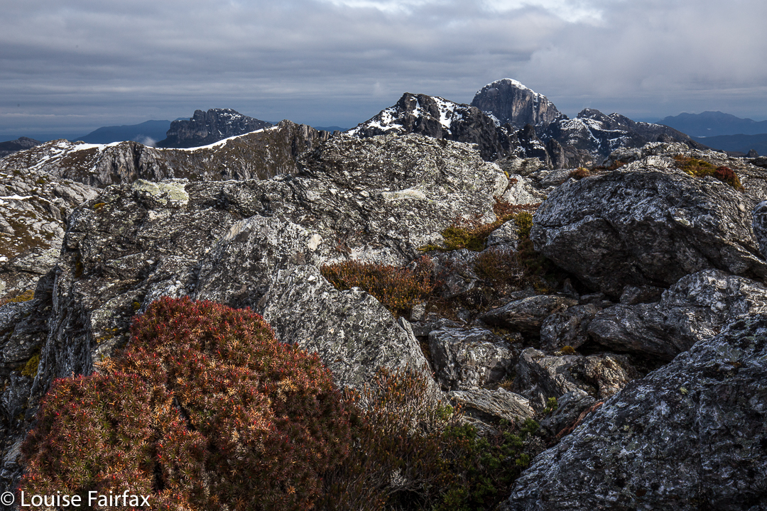
Frenchman Cap from near the summit of Agamemnon

Pessimistically, I looked up at a set of cliffs above and pronounced that it could take us an hour to get there. (I always like to overestimate so as not to be disappointed later.) Unfortunately, nearly an hour was exactly what it took. No one had mentioned that the button-grass lead cedes to thick, nasty steep scrub that two off-colour girls would find hard work.
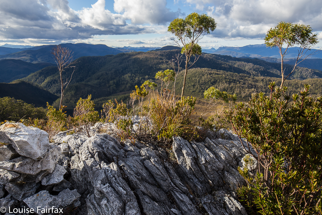
From below, I’d seen a fissure in the rocks with green in its crack, and suggested that we head for it, hoping it would provide a lead to the top. It did. We sat on top of the rocky outcrop (above) at the end of ‘climbing stage one’, enjoying a snack and taking in the dramatic view. We’d gained a lot of height in that hour, although I had been drastically slow.
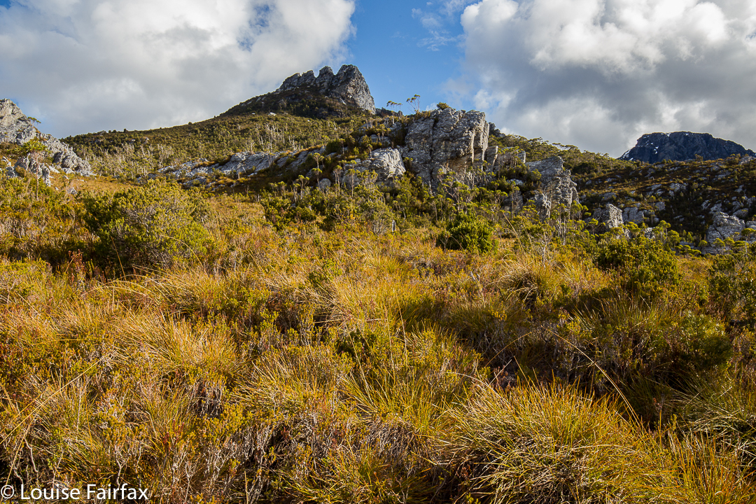
The ‘Four Ugly Sisters’ (so named by us). A rocky outcrop on the ridge just below were on our bearing. Ultimately, we topped out next to the sisters (to their left).
The next point we wanted to visit was a saddle not in sight. We set our compasses on 154 degrees and headed across and up. There were some rocks on a big ridge below the Four Ugly Sisters that were on our bearing, so it was easy to keep direction whilst weaving. The going was tougher than expected, however: the scrub had not yet finished, and there were many rocky bulges that posed a “left, right or over” decision. Sometimes Angela went over, I went right and we met at the far side, smiling.
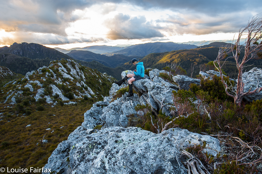
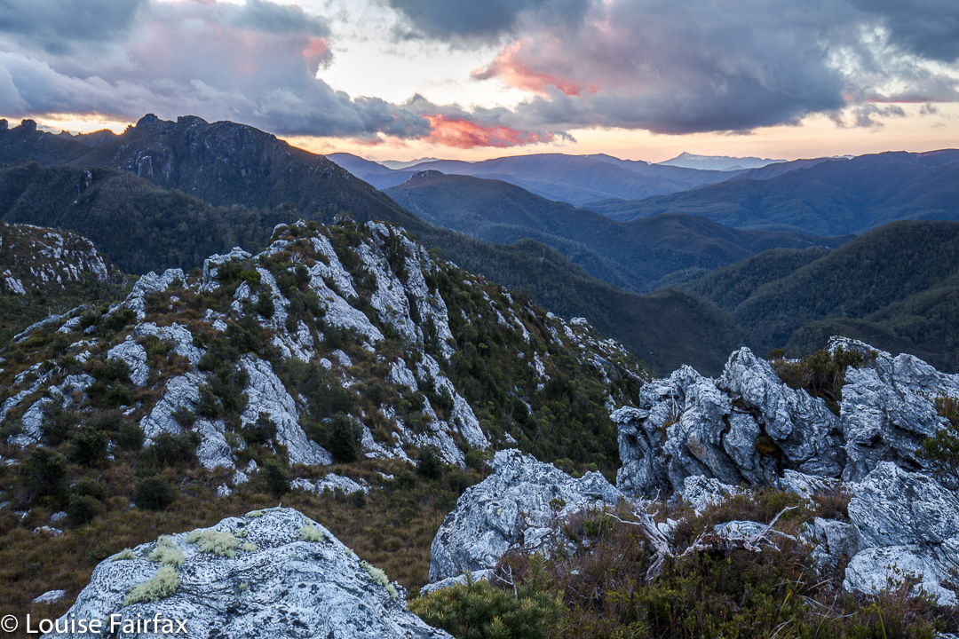
Angela examining her photos on  “sunset rock”.
After about forty minutes, we came to a point where it looked quite OK up on the left on a little ridgelet. We were about to reach a mini-saddle (very mini) within the wider structure of the bigger ridge. Ahead, the bush looked very thick. Our destination looked to be dauntingly steep and far away. I pointed out that sunset views would be great from here. We agreed to call it a day. Higher would have been nicer, with better views, but we had had enough. The laden winter packs had been on our backs for five and a half hours. Time to enjoy what remained of the light.
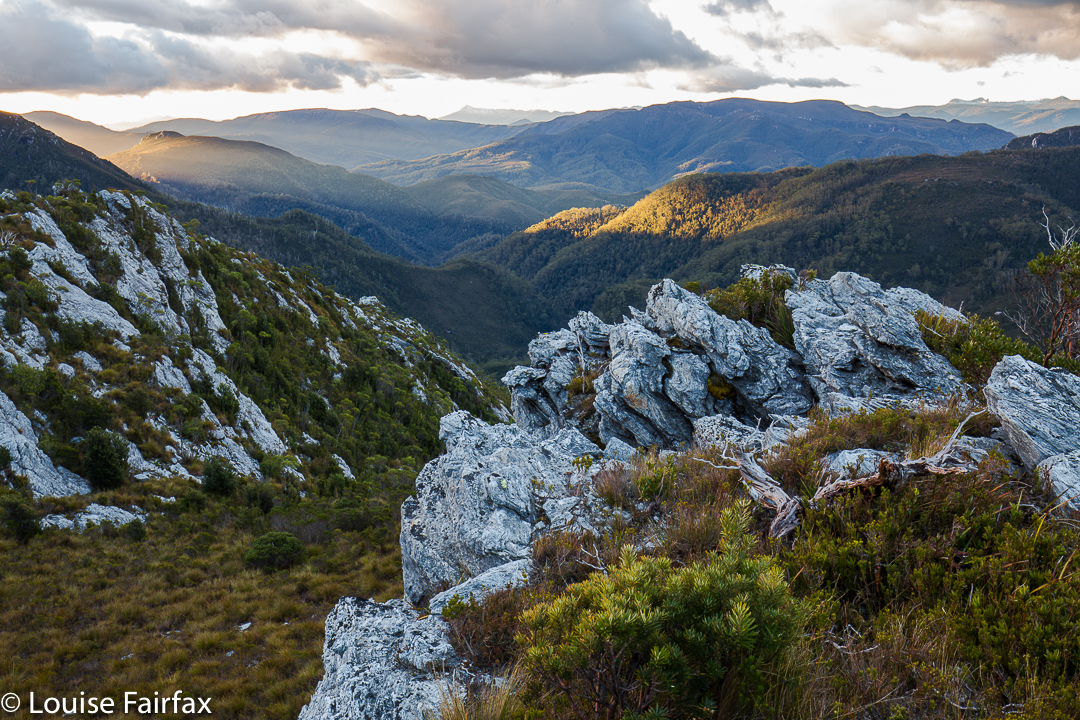
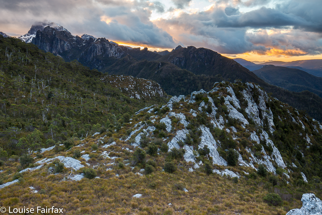
Frenchmans Cap in the clouds

Given that the next day was supposed to be clear, sunset was a bit disappointing, but I am still pleased with what I captured. It was worth lugging my tripod and GND filters up there after all.
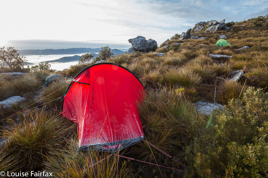
My trusty room with a view, frosted up a bit.
Angela did not want one of my super-early starts, so I suggested 7.30, hoping that was a good compromise. She agreed to it. I’m glad it wasn’t any earlier, as the tent was sopping in the morning, even though much of the condensation had frozen. I had time to enjoy early light without being hurried. There was no sunrise, as such. Hm. This was not the weather we’d been promised.
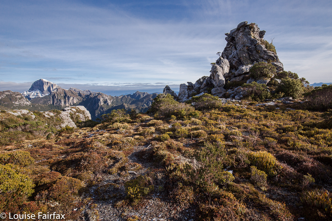
Fenchmans looking cute below us, and the Fourth Ugly Sister looming large.
Again my pessimistic and conservative estimation came: “It could take us one and a half hours to reach the top from here.” Unfortunately, the one and a half hours it took was walking time only, and if you throw in time taken for photographs at those vantage points where not to stop would have been plain criminal (like when we reached those rocks on the ridge, or when when we topped out near the Four Ugly Sisters (the far left one of which is pictured above), then it was two hours. 9.30 a.m. I sat on the summit staring at my watch and looking out at Philps Peak, our next goal. My calculations of the feasibility of this programme had not involved summitting this late – not on a short, winter’s day with glowering clouds rolling in. I had had a snoop around while we were photographing and snacking, and was not entirely confident that we could even get off this cliffy mound on which we were perched without needing to take a big detour backwards.
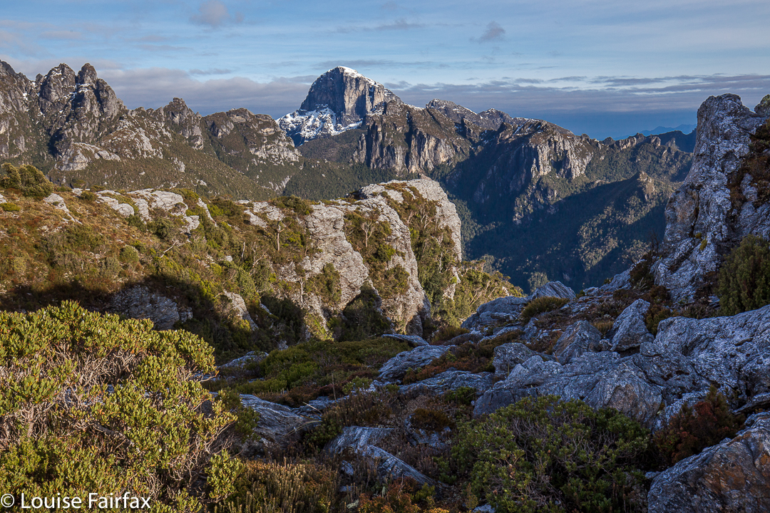
The somewhat contorted landscape that a map has trouble adequately representing.
No detour was necessary, which was great. Meanwhile, Angela, undaunted by my pessimistic assessment of our chances, was keen to give Philps a go, so off we set, with me warning that we really couldn’t afford a single hiccup en route. We had one in less than thirty minutes, when we lost time skirting around Agamemnon South. The mess of thick bushes and snow that gave way, the general uncertainty of the best route ahead all took their toll and seemed to conspire against us.
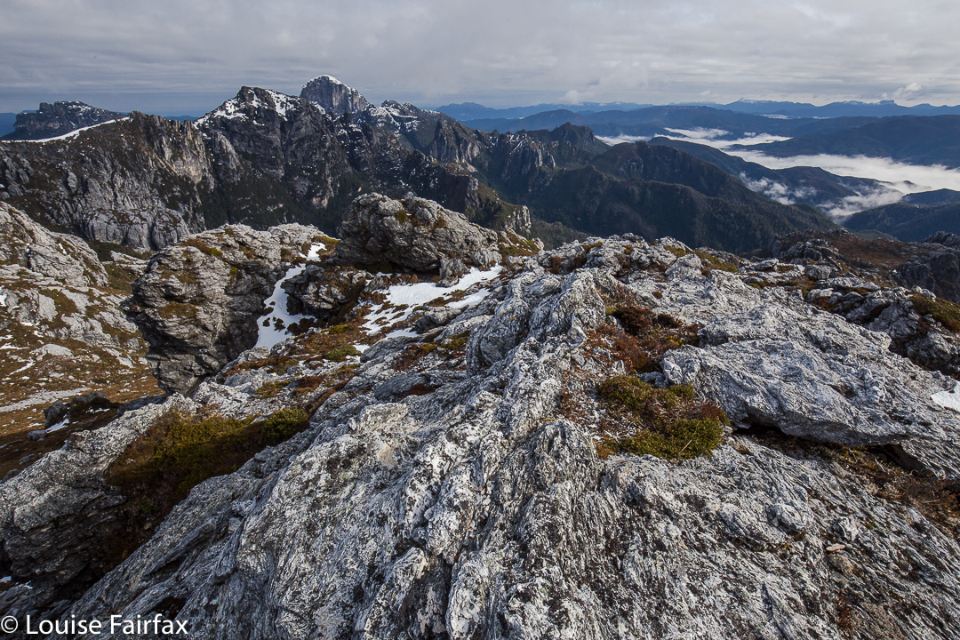
Summit view from Agamemnon
Meanwhile, clouds now completely obscured Philps Peak. This is not an area to be in with poor visibility: in fact, that’s downright dangerous. So many of our decisions were based on sight, as compass only gave a general direction, and map contours simplified the scenery to too great an extent. Eyes were needed to have guidance through this maze. Moreover, it was also raining over there. Angela reluctantly agreed to give up, jokingly commenting: “Who would believe that you’re the sensible one of the two of us?”
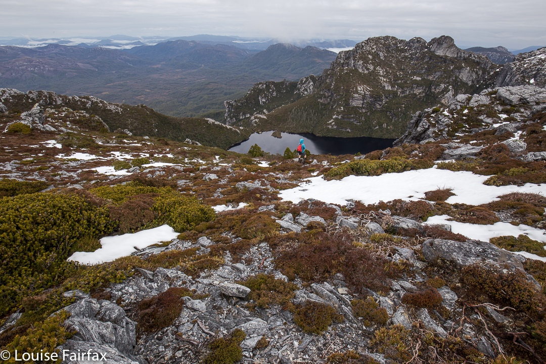
Lake Whitham far below

Still on the correct route, but about to give up. We will be back next time.
We played on Agamemnon South for a bit and headed back, finding good routes harder to pick on the rebound. At 11.45 we reached the Four Ugly Sisters again. The view was anything but ugly. Columns of rain were advancing rapidly. I suggested we enjoy the possible remains of what had been forecasted as a nice day and eat an early lunch right there, enjoying what our hard work had won for us. This was the only really relaxing moment in a very long, very hard day … just sitting up there, chewing, staring. Wonderful.
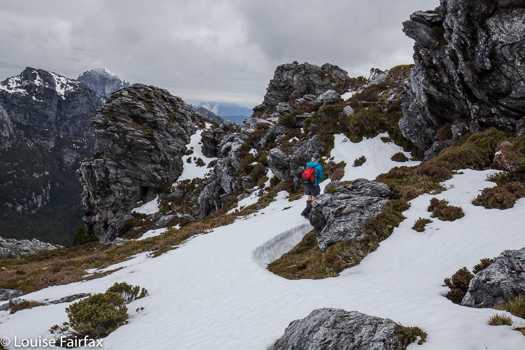
Once back at the tents, I raced to get mine down before the rain hit. Our packs had been on our backs for about thirty seconds when the first droplets let loose. Our chute down was hard to find in the thick mist. We very nearly missed it, and only just ascertained that we had found a way down when the blanket of grey completely closed in, and visibility was reduced to ten metres.
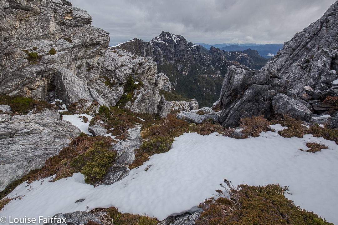
Views from on Agamemnon South.
At 2.30 we hit the track far below. Quandary: Left to Lake Vera Hut, or right, out?? We both voted right. Realistically, we would finish after dark presuming we would need breaks and be slower than the time in. It had already been a seven-hour day. Undeterred, we marched on. By the Loddon River, I was exhausted and sore, but we were both keen to continue. As we donned our packs yet again, I muttered supposedly encouraging words: “Max two hours to go; even in the dark.” I then laughed, as I thought about the fact that a marathon takes not too much longer than two hours (depending on who you are), yet most people speak of this with trepidation, and here we were consoling ourselves that we only had a marathon left to go. Ha ha. The relativity of it all.
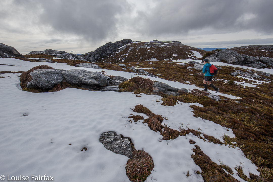
The whole day ended up being ten minutes short of twelve hours, but we made it – AND we made it to the Derwent Bridge Hotel before they closed the kitchen, and were thus able to enjoy a delicious dinner near a great big open fire before setting out for the big drive home. I was still in my cow pants, gaiters and boots. Poor Angela. You will be pleased to learn that the cow pants got a tiny tear in them this trip. Their days may well be numbered.
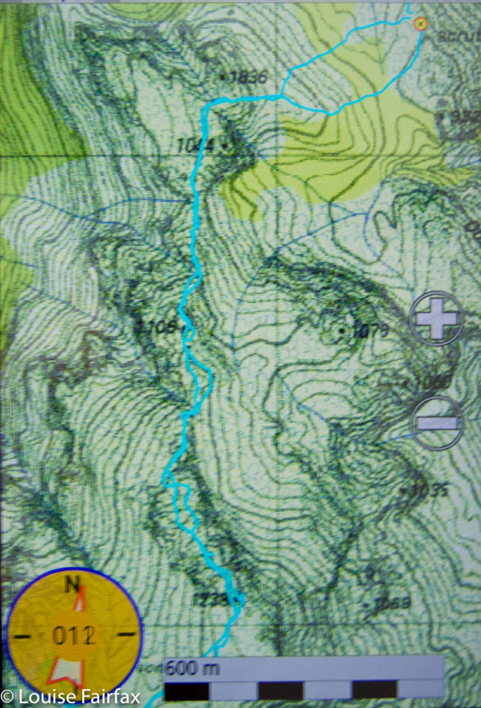

Agamemnon, from our tent (waypoint) to the summit.
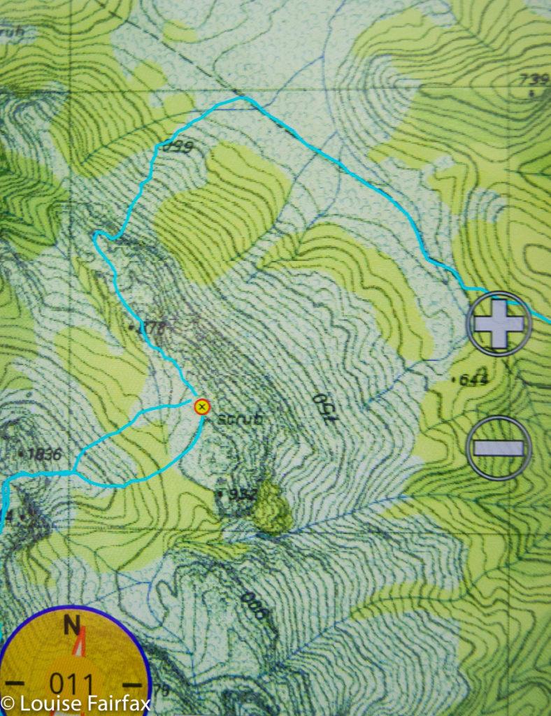

Route from the Frenchmans Track to our tent
Track data: (I was feeling a wuss before I noted these figures).
Day 1. 16 kms + 825 ms climb = 24.25 km equivalents.
Day 2. 22 kms + 800 ms climb = 30 km equivalents.
Total for two days: 54.25 km equivalents.
OK. I was allowed to be tired, especially considering the winter-weight pack and the 3kgs camera equipment on top of that. Even so, I do need to toughen up for long summer expeditions. Sigh.

Brewery Knob 2016 May

Brewery Knob.

 Cortinarius levendulensis.

Angela in her new (unmarred) red anorak approaches the summit cairn

The weather map looked very colourful (= lots of rain forecast) for the day of our intended walk, and high winds were also predicted. However, Angela and I were more than keen to climb something – anything – despite the weather, so took a look at our options. The map ruled out anything south or west; east just didn’t call us; so we settled for north of central, and chose to re-climb Brewery Knob, which fell into a Goldilocks zone: not too high (i.e. windy), not too long a drive … not too anything really, and a nice little mountain sitting there at 1293 ms asl, protected a tiny bit by bigger friends close by. It got the foul-weather guernsey.

We came back the way we went out, and I’m glad we did. It gave us longer on this half-hour stretch of open moorland which we found to be fun.

Good choice. It was a perfect mountain for the conditions. First, we climbed through a stretch of rainforest that is always rich and glorious, but especially so at this time of year when bright orange pilelets of fagus leaves clump together, attractively caught in the interconnected mosaic of shining roots that make mini-swimmingpools along the track. The contrast between the burnt orange leaves and the lurid green moss makes for a mesmerising beauty. We both vowed to do some photography on the way back down, but I am a goal-centred person, so we stuck to the programme of climbing first, games afterwards (not that climbing isn’t the grandest game of all).

The path

As we changed gradient and forest type (after a tad under 30 mins’ walking), and took our first steps on the open Hounslow Heath, the expected wind hit us. On went coats, windproof gloves and more as we leant into the wind to continue. It was so loud – whistling in our ears and bashing our heads with its force – that conversation was impossible.

Similar to the first time I climbed this Knob with my husband, we struck a small band of thigh-high scoparia once on our compass bearing for the final part of the climb (the bearing revealing a slightly darker shape in the mist that we took to be our mount: I have yet to actually see it). We passed very cautiously through, both of us nervous about pin-pricking our beautiful new anoraks. Once on the plateau on top, vegetation was only about ankle high, and we were free to enjoy the huge sense of space made possible precisely because we could see nothing, but could feel infinity in the distance.

We were both delighted by our choice of mountain. It was perfect for that kind of weather, and, well, there’s a lot more to a mountain than the view it offers. The summit cairn is very attractive, and the feeling of being in a wild place, marvellous. It almost felt as if we were the only two living souls left on earth up there; it’s wonderful to escape the treadmill of modernity with its reduction of creativity and freedom, and its terror of risk and litigation that stifles every move and suffocates being kind and decent to one another.


Claude 2016 Apr

Mt Claude Apr 2016.

The view to the left before you leave the track to embark on the rocky climb
In terms of having intricate directions in the final stage of the climb, Mt Claude is one of the trickier mountains, so instead of my usual sort of entry, I am going to try to provide extra details in words and pictures to augment the already excellent instructions we had from www.bushwalk.com, the bushwalking forum. Despite their helpfulness, we did have two “detours” where we managed to stray, so hopefully the pictures and text below will help others who want to use this much safer route of climbing Mt Claude. I came across it last week and thought it looked fun. Angela agreed, so off we set.
Follow the main path (that begins on Olivers Road at the Lookout, and that, after you leave it, continues on the northern side of Claude, heading for Van Dyke) for about three kilometres, turning right and slightly down (ESE) where an arrow tells you to, rather than heading for the tower. We had a diversion to the tower due to not quite understanding the instructions. I’m not sad that I had the extra climb. It was quite interesting, but the excursion gave us a huge warning about how very slippery the conglomerate was today. I had already felt how greasy the rock was, but still got a horrid shock when I saw Angela’s foot come unexpectedly away from her in the descent back to the track, and she began gathering momentum as she fell. I watched in horror as her first attempt to grab something to arrest her fall failed. Luckily the second obstacle worked as I did not like the speed with which she was dropping. Of course, all this occupied maybe a single second, but it felt like an eternity as audience.
Back on the track we went to the south of the tower clump, and along to the flat saddle before the actual summit block. Below is a picture of where, in that saddle, you leave the path that continues more NE to drop down below the northern side of the impressive summit boulders. This little pad here goes to a slot that you climb up. There’s a cairn at the top, and the cairns were generally close enough to follow.

This is the pad you follow to exit the main track
Below you can see Angela climbing a slope, because I called her up. However once we were both up and consulted the notes from bushwalk.com she’d copied into her phone, we saw that we weren’t supposed to be lured by this steep, narrow path, so went back down. It was quite a nice little climb – not slippery like the rest of the day. However, if you get this view, you know you’re wrong.

Along and up we went, consulting the forum notes quite heavily now. They warned us not to proceed along the likely looking trail, pictured below, tempting as it is.

 Instead, the notes say, head for the sky, so that is what you can see Angela doing in this next image.
The notes then say that on the right, just a bit below where Angela is in the picture above, there is a turning to the right. Take it, and it leads to the entrance of the infamous cave. We were both a little apprehensive about how this rope section was going to be in such slippery conditions. Angela was worried about her knee that she’d hurt in the fall, and I wondered if my upper body could drag me up, if that was required, as I had had an operation the previous week and even running still hurts a bit, so my torso’s strength is compromised. Oh well, there was one way to find out.

When we looked into the cave, it was dark and foreboding. At first our eyes couldn’t make out anything at all, but gradually the rope that we’d been promised could be discerned. I could see that it had knots and loops in it, so that would help. The entrance was very narrow, and we didn’t have a clue what lay ahead, so both decided to leave our packs behind – a very sad decision, as that meant no camera, and no food on top. The entrance was so narrow that we wondered, not for the first time that day, how large people managed to use this route. I took the rope, put one foot in the loop, and set out, feeling in the dark for the next loop. It was too much trouble to get my foot in, and my upper body was coping, so I used my knees against the rocks – they had better traction than my boots – and hauled myself up. The series of knots gave good grabbing points, and my knees found indentations in the rock that held me. It worked, although that method hurt Angela’s injured joint. Once up, the summit was very close, and we happily touched it. Thick mist was now rolling in, rising to engulf us. We wanted to see to try to find our way down this slippery dip of a mountain, so set out pretty quickly. I was starting to feel nauseous with anxiety at choosing a route blind. I also didn’t know how it would be lowering ourselves on the rope when the rock offered absolutely no grip at all. It was a long way to fall. However, on the descent, I found I could decelerate by leaning my back into the wall above, creating a bit of pressure to combat gravity.

Hoorah, soon we were down and gathering packs again (Angela is buttoning hers up in the picture above). I wanted to get below the rock section before stopping for our snack so as to ensure visibility. It was with enormous relief that we sat with the view below, still rocky enough for beauty, but by this stage, all the potentially tricky route finding had been accomplished, and, although we were cold, we made time to eat. I needed to eat to relax more than to fill my stomach, I think.

Snack view, down low and out of danger of further falls
In front you see the pad that we followed to do the climb. Angela is standing at the pad-path intersection waiting for her friend who is now taking rather a lot of photos.

Goodbye pretty boulders. They really are wonderful if you’re not climbing up them when they’re moist.  Down we climbed, both looking forward to the food we were anticipating at the Raspberry Farm, which is fast becoming a traditional calorie replacement station.

I’m not happy with the clarity of this. I’ll add a map of just the last section in the morning. Hopefully that will give better detail.

Jukes 2016 Feb

Mt Jukes Feb 2016
How do you make plans when different sources of information advise very different times for a mountain? Angela and I were in a bit of a quandary when sorting out our Jukes-day, as we had received conflicting expectations as to how long the exercise would take. Would we have time for two mountains, or just one? How early did we need to set out from home on the long drive south? In the end, we decided to be conservative, and allocated six hours to the task, as suggested by the Abels book.

Earlier, on the way up

The weather was not brilliant, but, well, we’d just driven a very long way and were going to climb this mountain, whatever. Somewhat unenthusiastically, we donned gaiters, boots, overpants and anoraks and set out into the gloom, taking a compass bearing so we could find a mountain at the end of it. None was evident at the time.

Angela at the summit, trying to reassure herself that she really has arrived at Jukes summit

Up we headed on bearing, with me setting the pace as I’m injured. The bushes were drenching, and I got soaked, but didn’t expect that my single swipe of droplets rescued Angela from much. At least the day was not freezing (until we hit the wind at the top, that is).

After thirty minutes’ climbing, whilst sidling around a rocky bluff to the left that we had both agreed looked more promising than the right, we happened upon a little cairn. Given that we could see absolutely nothing, this smile from a stranger was most welcome – and especially so as some slight scrambles up the very slippery rock were now in order. When heading up slimy rock faces in deep mist, it is quite reassuring to know your decision to go that way has the blessing of people who have gone before.

We came, after an hour, to a big cairn on a flattish section, which, given the fact that we could see nothing of what lay ahead, we assumed was the spot height 1038. On we climbed. Huge, steep, leering bluffs emerged out of the mist – amorphous giants which we assumed we had to climb, but which a pad, to our relief, sidled. However, at one point the apparent pad took us to the edge of a drop of about four or perhaps five metres. There was a bit of a crack that could no doubt be employed in dry weather if you were nice and tall, but that was a very long drop down to uneven, jaws-open rock should things go awry, and being small with only one functioning foot, I completely lacked confidence for an attempt at this. Meanwhile, to immediate right and left were drops of even more suicidal heights. Had I inveigled Angela to do a huge drive and climb part way up a mountain in the rain to now call a halt? I felt stricken with guilt, but still lacked the courage to give the drop a go. I turned to her shamefacedly: “I’m really sorry Angela, but I just don’t dare.” Luckily, she also considered it dangerous, so we retraced our steps to an area behind the bluff, and hunted for a viable alternative, which we found to the north. Phew. Maybe we are going to get up this mountain, wherever it is,  after all. But how many other such challenges and obstacles lay in the undefined gloom ahead?

It appears, none. In the surprisingly short time (given our expectations) of a shade less than two hours, we were standing on the summit of Jukes. Angela couldn’t believe it, so checked her gps innumerable times to ensure we weren’t cheating. I photographed, opining that the presence of the helipad said all. Given that my swollen and still coloured (and painful) foot necessitated a much slower pace than usual, it was most unexpected to cut the time by so much.

Although it drizzled all morning and then rained up on top, I adored this mountain, and can’t wait to go back with my tent and tripod. The huge bluffs and monstrous drops to our left as we climbed added drama and mystery to our quest. There was always the hint of an amazing “je ne sais quoi” that was not going to be revealed. The lack of definition gave free rein to the imagination. Also, the lack of horizons or view meant that the climber-mountain relationship was intensified. It was you and the mountain’s immediate environment and not much more. I enjoyed that intense experience. The cushion plants and greenery on top were delightful. Green and grey make a wonderful combination.

The way down was faster than the ascent, giving us more than two extra hours in our day. However, rather than using them “profitably” to climb a second, unplanned mountain, we chose the rather indulgent option of firstly, hot chocolate and cake in Queenstown, and then something a little more healthy at Derwent Bridge Hotel. My foot was quite painful, even after the shorter-than-expected climb, and I was tired from the unaccustomed concentration required to prevent further injury. I rather think that when my physio said I could try a day walk this week, she didn’t quite have a slippery Mt Jukes in mind. But then, she’s been my physio since 1990, so perhaps she did.

To reach the start, google Mt Jukes Rd, which you will begin on at Lynchford, south of Queenstown. Follow it south etc, winding around the Jukes Range until you reach its high point. Park and climb up Jukes as above.

Bobs 2015 ii Nov

The view from my tent window of the sinkhole

Mt Bobs beaten.
“Thirteen, fourteen, fifteen …”
“Louise, you’re just showing off.”
“Sixteen, seventeen, eighteen … .” I would not be put off my leech count, flicking them as they ascended to my hands, pulling them out of my hair and off my rainjacket, overpants, gaiters and boots. The light rain that had persisted for much of the first day had certainly brought them out, but at last we were at the sinkhole, ridding ourselves of them before disappearing into our tents to try to slough off the array of wet layers and warm up before exploring our fascinating environs. The rain had ceased, and the sinkhole is a truly fabulous area.

Sinkhole view, different direction

Although we had never tried Mt Bobs and failed, both Mark and I had the feeling that this was an elusive mount: a hard capture. I had cancelled a couple of trips due to bad weather before I ever set out from home, and on one occasion we had gone to Lake Sydney, only to turn back before ever beginning the climb proper. People seem to speak of this mountain with certain tones of respect; some, even with something akin to fear in their voices (these being the ones, I guess, who had particularly long or difficult battles with thick forest on the way up). Certainly, the way is steep and the rainforest thick, and no possible path declares itself as you stare amongst the tangle and cliffs. You are too close, at that stage, to sort things out. With Bobs, I think, you need to have worked out your method of attack before you begin. Horror stories of being held captive in her thick bosky arms are not too difficult to find.

Sorry, but it’s rare to have such a fabulous scene from the shelter of my tent

We did not treat this summit lightly, and read as much as we could before departing. In particular, we found the help of Rohan and notes he leant us from Marco to be invaluable. Thanks guys. Thanks also to Ian Ross – for our email discussions and his inspiring pictures in bushwalk.com that first sparked my interest in this mountain.
Day Two
At last ascent day dawned and we stood at the start line, ready to try our luck, determined to succeed. The sinkhole was pretty full, but we could at least get around some foreshore (left) before being forced up into the rainforest by rocky cliffs. We climbed a contour or two and then progressed parallel to the lake which already seemed quite a way below us when we got glimpses of it.

Looking back at my tent once we went exploring

Marco’s notes mentioned climbing an obvious spur. Lots of spurs can seem obvious on the map, but not so obvious when the shape is obscured in situ by thick covering, and, conversely, small spurs in the terrain can strike you visually yet be not be represented on the map, often due to the scale or the contour interval, or because they are not detected by the photogrammetry. I was standing on a spur that seemed obvious to me, but was it obvious on a 1:25,000 map with 20m contour interval? Time to check the gps. Yes. Good. Up we went. Confidence was high, and yet the notes also said that a pad of sorts could be encountered if one is in the right spot. We were seeing signs that humans might have held this or that branch, but after a while I felt like another dose of confirmation. I turned around to Mark:
“Right now, I would give a lot for the sight of a little pink tag.”
“Yes, that would be nice.”
I turned back to continue and could not believe it. There, right in front, waving at me, was exactly what I desired. It felt like we’d spotted the summit cairn. I gave a victory dance and hugged Mark with joy. This would take us on a pad that worked as far as the scrub just short of the saddle. We didn’t need to waste time with trial and error seeing if this or that cliff was going to allow us to progress on our way in this low-visiblity forest. We wouldn’t land in a cul de sac of tangle now – well, not as long as we managed to continue finding the tags. We still, of course, had to keep navigating, but every five minutes or so, you gained a pink benison: you were doing the right thing. It was a great feeling; like spiking the control at orienteering. Despite still concentrating, we could relax our guard a little now and enjoy the forest even more than we had been doing. When you are in a fairytale wonderland, that is a good thing.

Typical of the forest we climbed through

We swung a bit far in the scrub before the saddle, but didn’t lose too much time, and were soon enough standing on the turn of the land, gazing up at a cornucopia of cliffs, wondering exactly which were the “obvious” ones of the written instructions. Not quite knowing, we agreed together to head for a bushy gully between two likely contenders and play it by ear from there.

Mt Bobs summit area views

Emotionally and physically, I was pulled towards the more cliffy of the two main possibilities, so when I saw the hint of a lead through the scrub that would get us to the top of it, I took it. From there, we gazed together at our alternatives. The notes had talked of cairns. There were none for us, but in this section there is visibility, so we surveyed the scene and opted to go straight up the rocky spur in front of us, reckoning there were enough low-bush connectors to get us to a gully up high that we could see, which would give us a lead through the dominating cliffs to whatever was up there beyond. We were not on THE route but this route felt good. It was, indeed, as good in fact as it was in theory and we fair bounced up to the top in a very slick time, cresting the plateaued area by 10 a.m. This was it; we’d done it. The remainder of the stroll across the tops to the actual summit – photographing, admiring the view, delighting in the tiny watercourses, patches of snow and vibrant green cushion grass patches – was almost like a victory lap after a race.

Mt Bobs to Federation Peak in all her glory

It was sunny up there as we ate a bit and gazed at Federation Peak, but we were also very aware of the gloomy weather forecast for later in the day. We had climbed in a very small window of opportunity. We thus elected not to climb the Boomerang, but rather to descend, spend a little time relaxing at the tents – even cook some warm soup to have with lunch – and head out.

Cascades on top of the waterfall along the way both up and down

When we reached the bare knoll on the way out that offers the final view of Feder, we could see it was already raining there. The clouds were quite dramatic; the front was approaching speedily and earlier than we had envisaged. The race was on. We belted down that mountain, putting in as much distance as we could before we had water dumped on us from above.

Lazing in the sun by the tents while the billy boiled for lunch

The trip ended as it began: soggy logs, covered in moisture-laden moss that drenched you if you got too close; deep mud to suck you under and wet your boots and socks; soaking bauera that made each brush with it feel like a cold, unwelcome shower; and two sodden bushwalkers. Luckily, the really punishing rains began during the drive home. We were quite wet enough with the low-intensity version of a dunking that marked the beginning of the change. Our decision to hasten out was a good one.

Mt Bobs: Our route from the campsite to the top. No, we didn’t go swimming. I guess that blip is the gps objecting to the thick forest cover, trying to find a satellite.